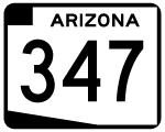
Arizona State Route 347 travels from Interstate 10 south to SR 84. Providing a quick route to the city of Maricopa, through the Gila River and Ak-Chin Indian Nations, SR 347 is also a shortcut to San Diego and Interstate 8 for East Valley residents.
SR 347 was added to the state highway system in 1988. However, like most roads added to the system in the 1980s, the road itself is much older, dating back to the 1930s. The road was reconstructed as part of the conversion to state highway into a four lane expressway.
SR 347 was planned to be called the John Wayne Expressway at one point, but that name was dropped due to controversy. The route number is derived from the original Federal Aid Secondary route number - FAS 347.
|
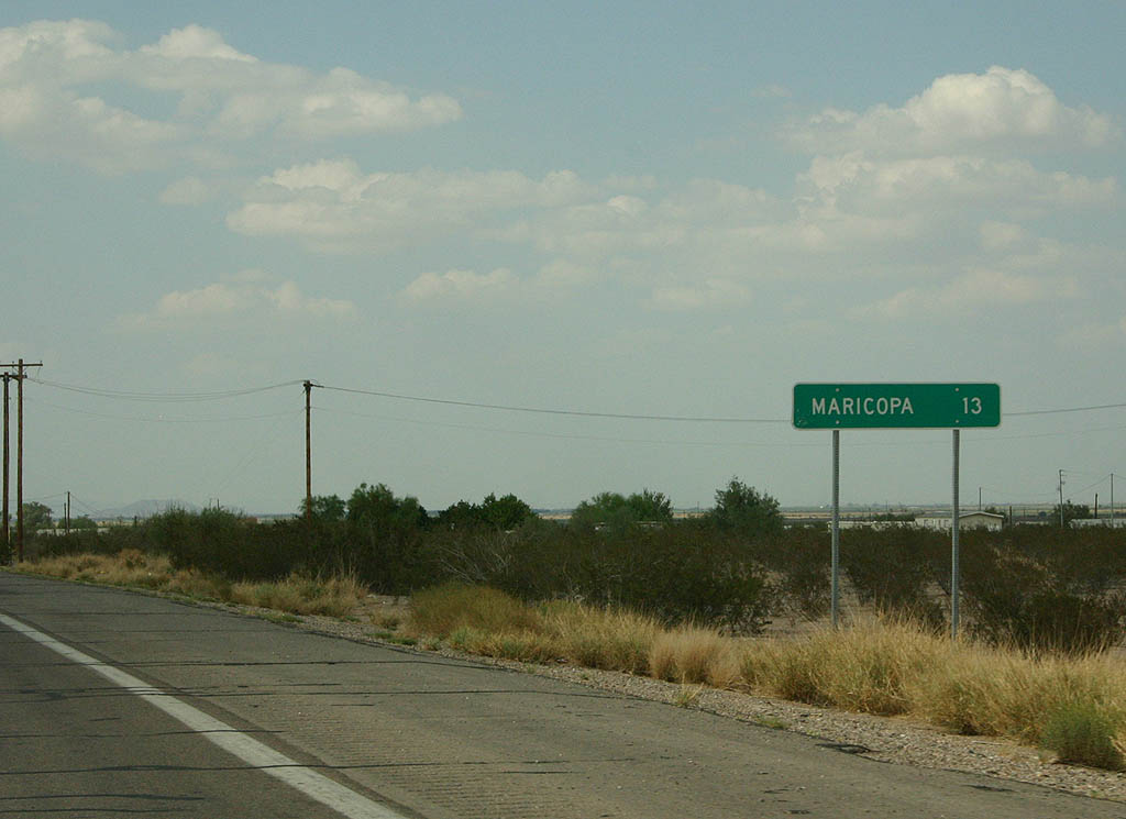
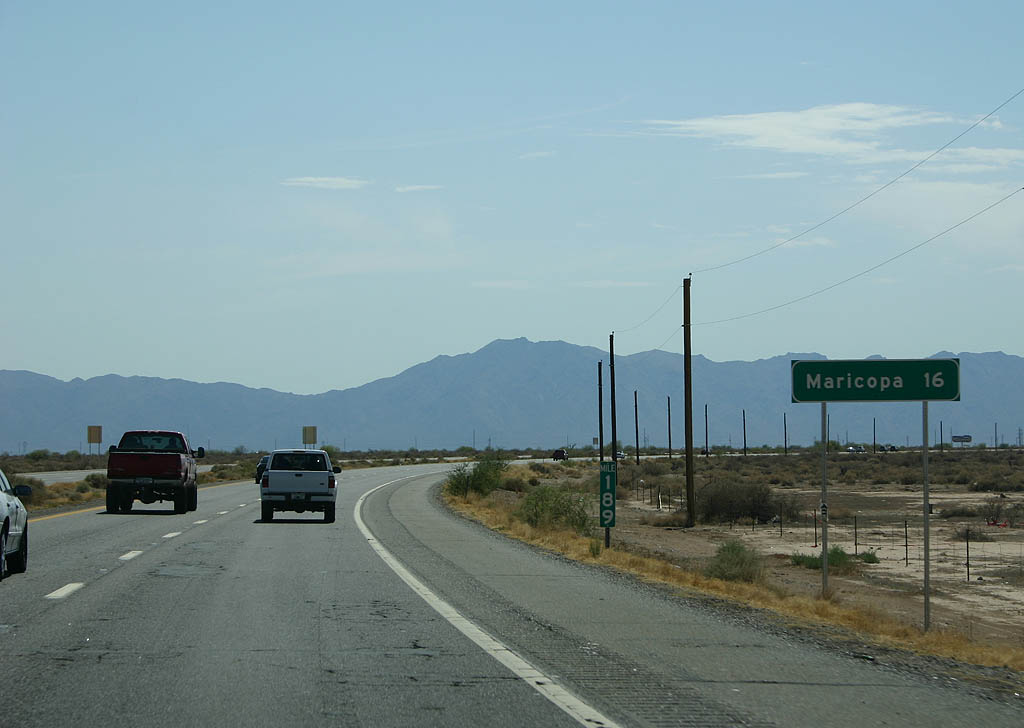
| Distance sign to Maricopa. Maricopa is the only town
along SR 347. 08/19/07 |
|
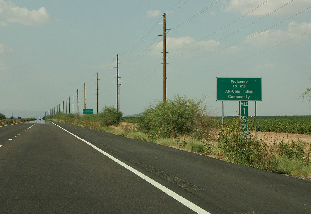
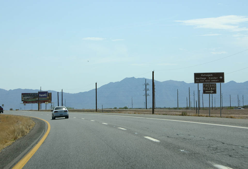
| SR 347 enters the Ak-Chin Indian Community here.
The Ak-Chin community is located south of Maricopa, and
contains Harrah's Ak-Chin Casino. 08/19/07 |
|
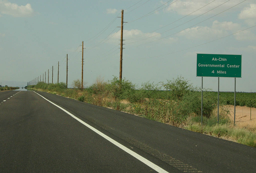
| Distance sign to the Ak-Chin governmental center. 08/19/07 |
|
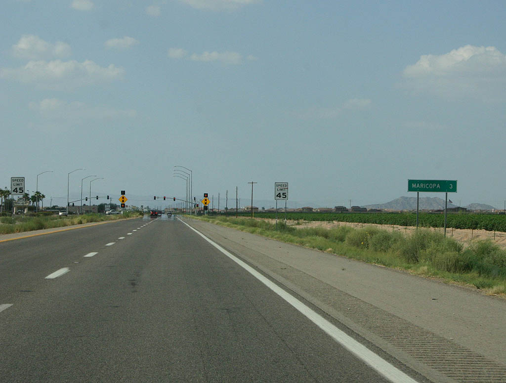
| Distance sign to Maricopa. The signal ahead serves the
Harrahs Ak-Chin Casino. 08/19/07 |
|
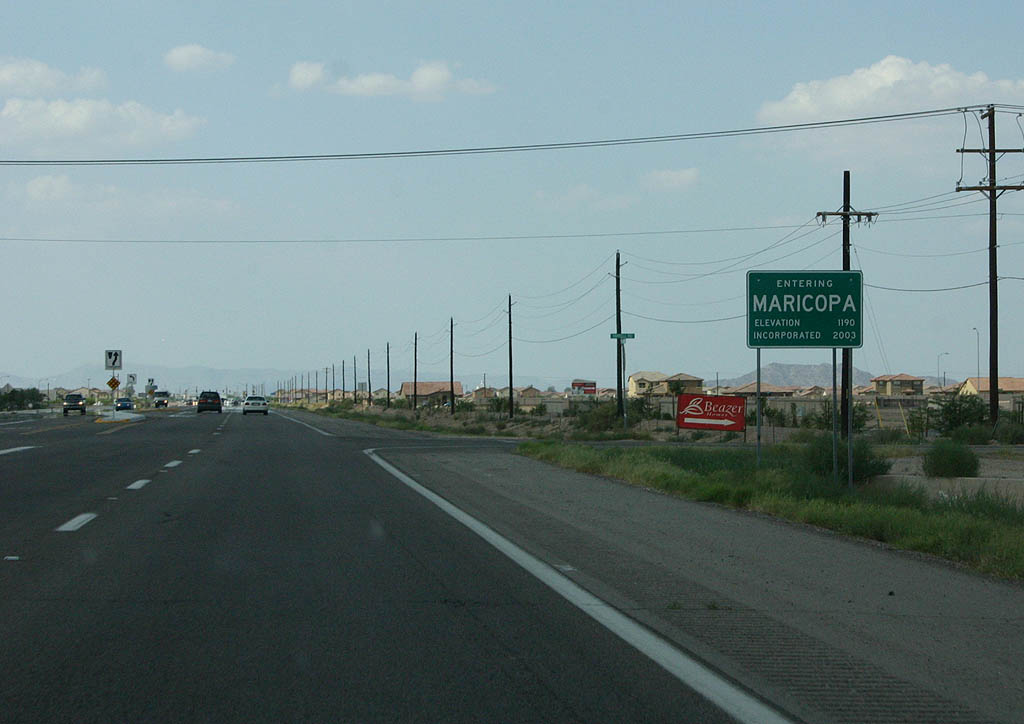
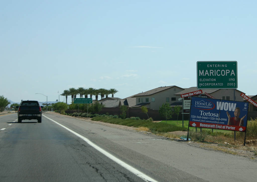
| SR 347 enters the city of Maricopa here. Maricopa
is Arizona's newest city, incorporated in 2003, but the
town dates back to 1880 and the Southern Pacific Railroad. 08/19/07 |
|
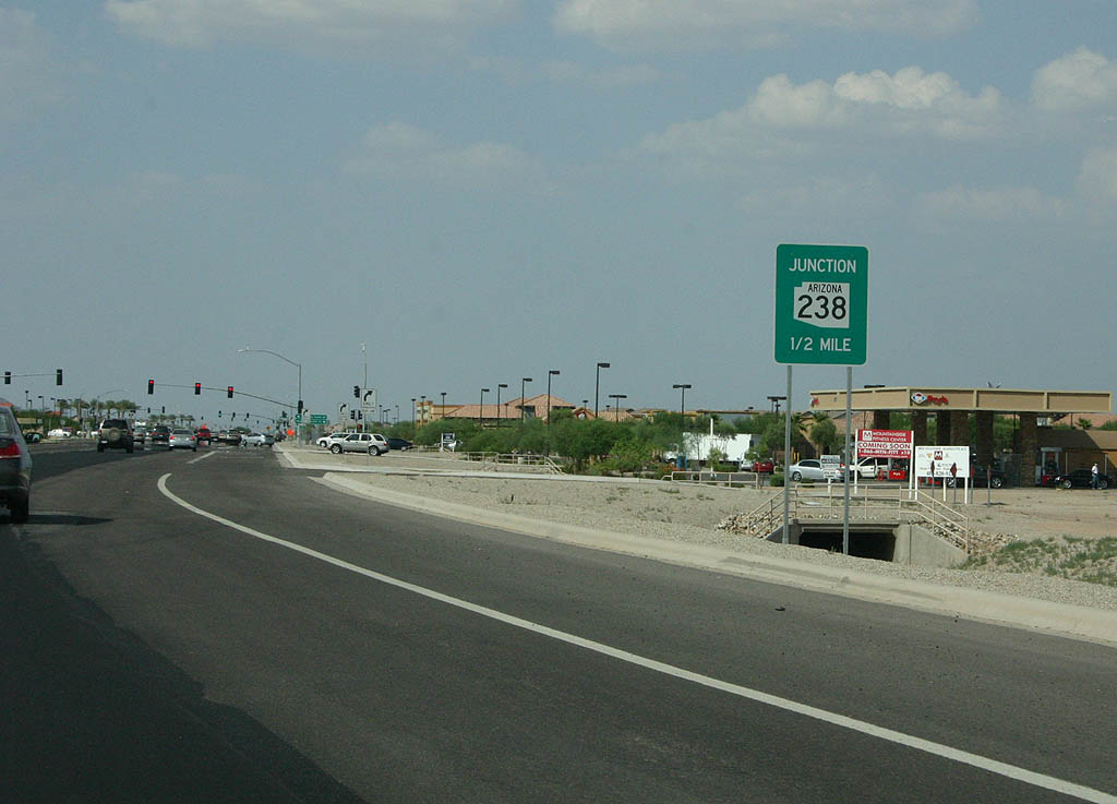
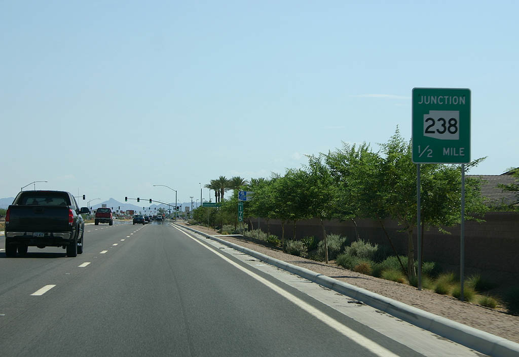
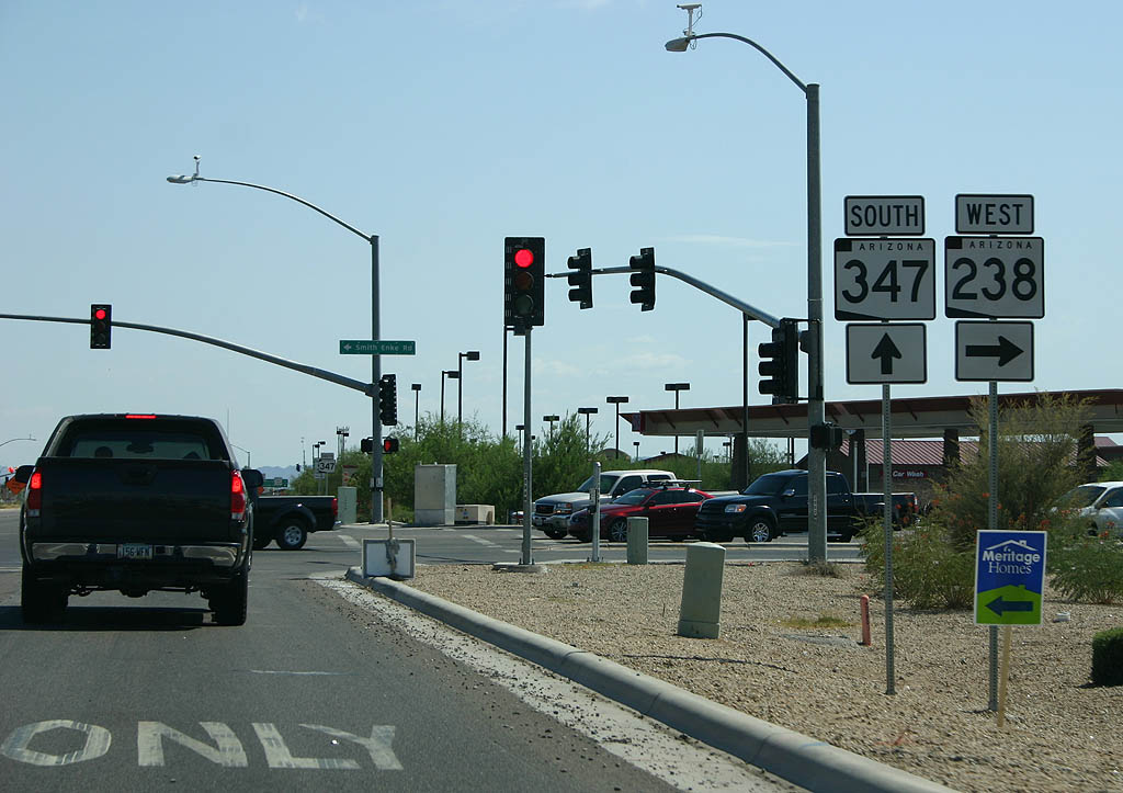
| Advance signage for SR 238, 1/2 mile. 08/19/07 |
|
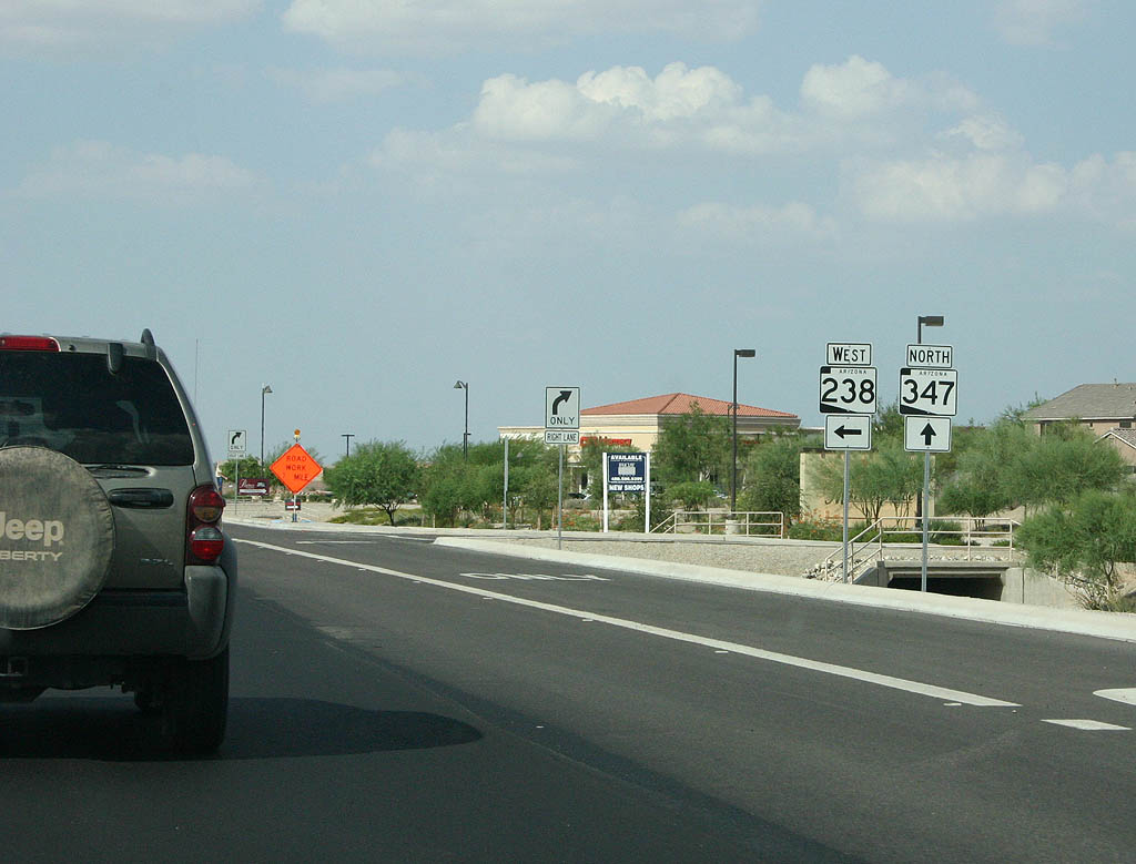
| SR 238 departs from SR 347 west toward Gila Bend and Interstate 8. 08/19/07 |
|
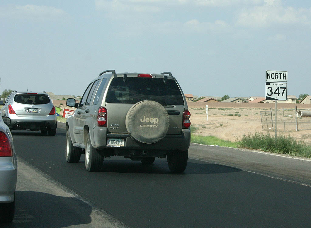
| Advancing north of SR 238, SR 347 passes by suburban development. 08/19/07 |
|
| Distance sign to Interstate 10. 08/19/07 |
|
| SR 347 meets Maricopa Road here. Maricopa Road
is the original road to Phoenix, but now serves local
interests inside the Gila River Indian Reservation and
the Wild Horse Pass casino. 08/19/07 |
|
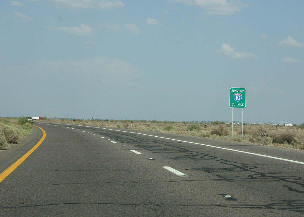
| Advance signage for Interstate 10, 1/2 mile. 08/19/07 |
|
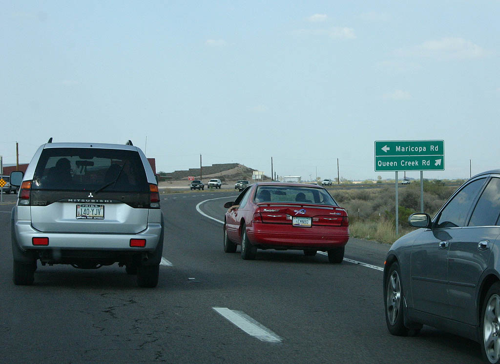
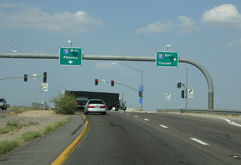
| SR 347 ends at Interstate 10. The road continues
east as Queen Creek Road, a high speed road maintained
by Maricopa County, eventually entering the extended Metropolitan
Phoenix grid system. 08/19/07 |
|
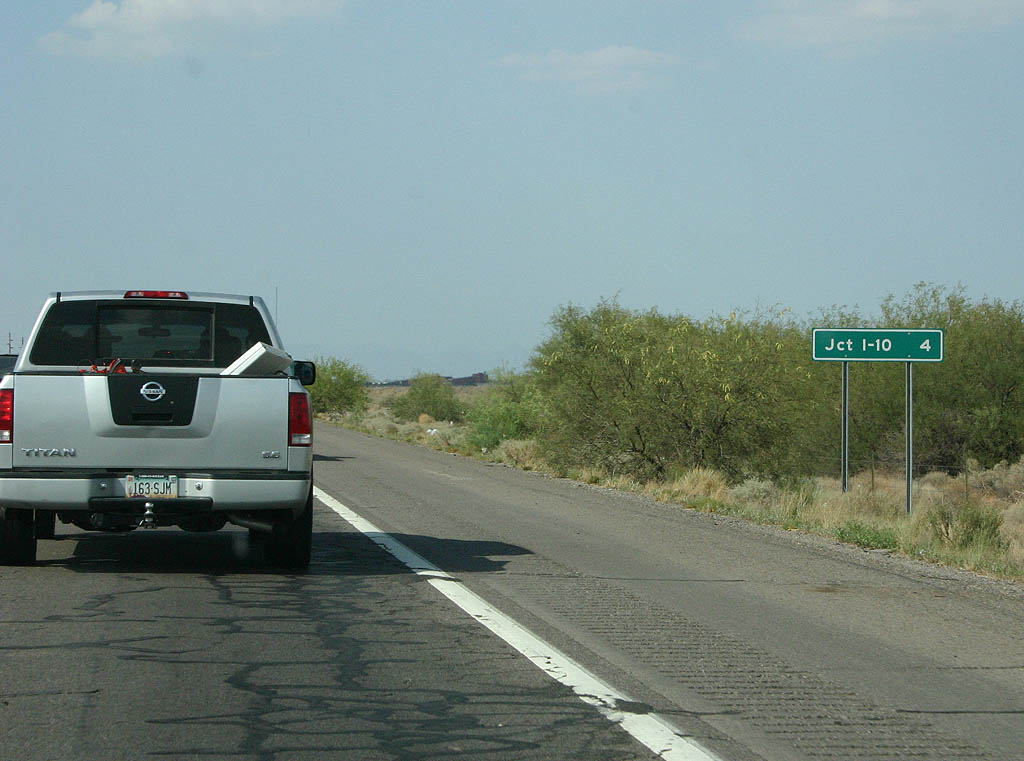
| Just after departing from Interstate 10, this distance
sign can be seen showing mileage to Maricopa. Maricopa
is the only town along SR 347. 07/15/07 |
|
| SR 347 meets Maricopa Road here. Maricopa Road
is the original road to Maricopa, but now serves local
interests inside the Gila River Indian Reservation. 07/15/07 |
|
| Reassurance marker posted south of Maricopa Road. 07/15/07 |
|
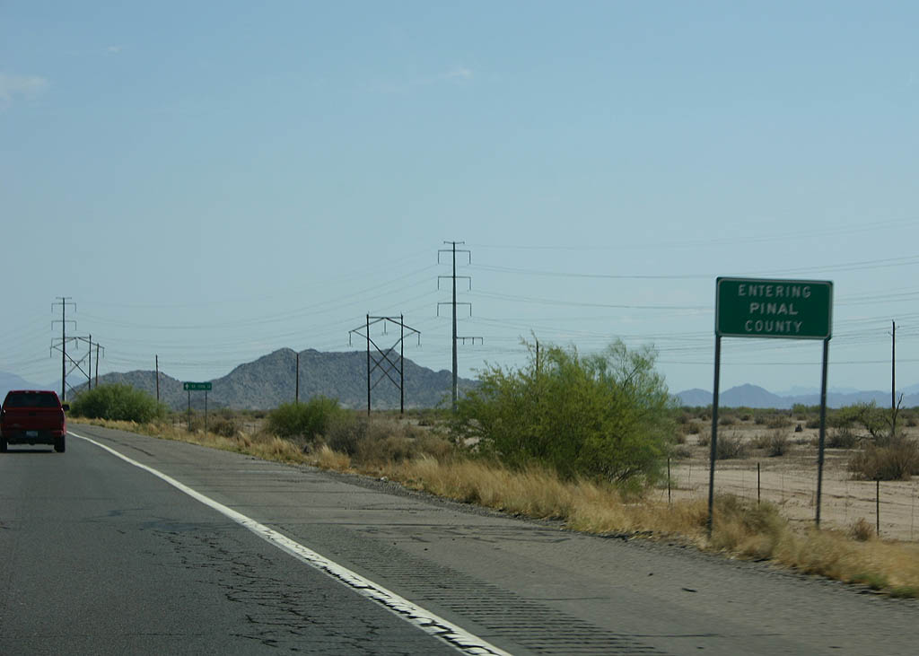
| SR 347 leaves Maricopa County here to enter Pinal
County. 07/15/07 |
|
| SR 347 enters the city of Maricopa here. Maricopa
is Arizona's newest city, incorporated in 2003, but the
town dates back to 1880 and the Southern Pacific Railroad. 07/15/07 |
|
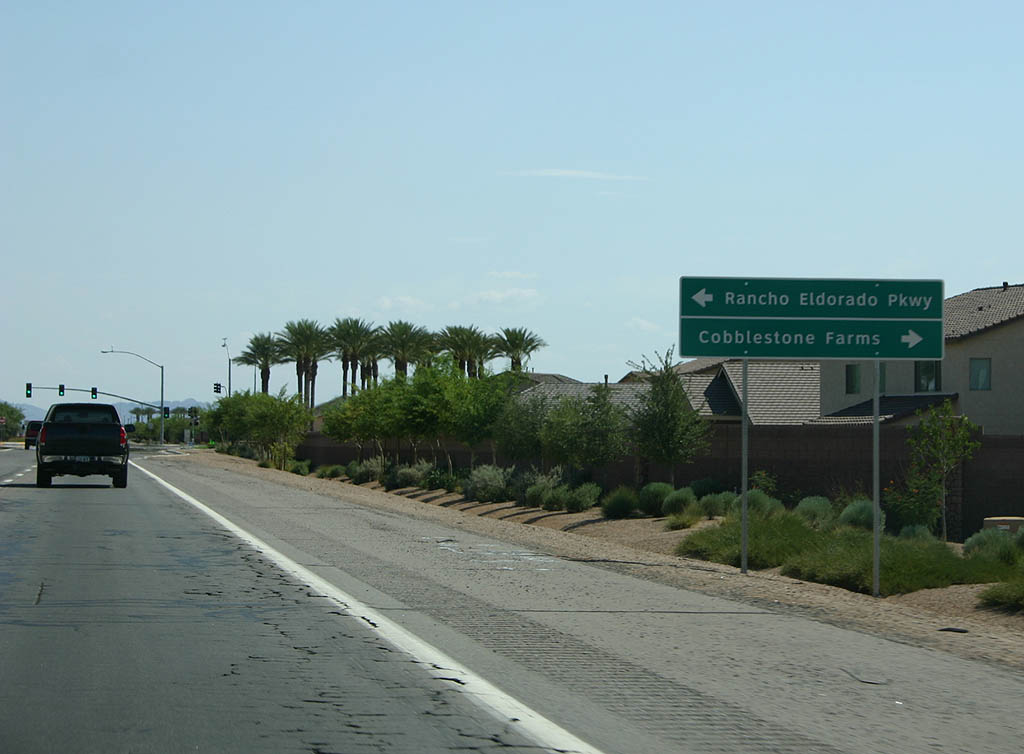
| SR 347 meets Rancho Eldorado Parkway and Cobblestone
Farms Road here. Rancho Eldorado is the first major subdivision
built in Maricopa. 07/15/07 |
|
| Advance signage for SR 238, 1/2 mile. 07/15/07 |
|
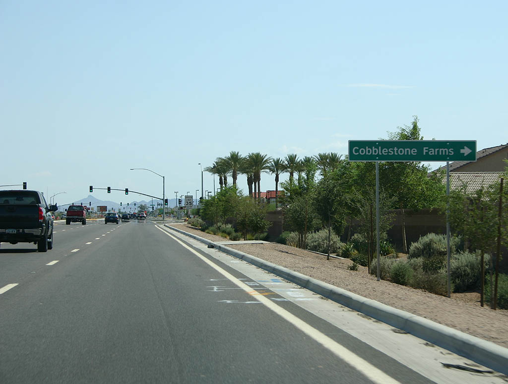
| SR 347 continues toward Downtown Maricopa while SR 238 heads to Cobblestone Farms and Mobile. 07/15/07 |
|
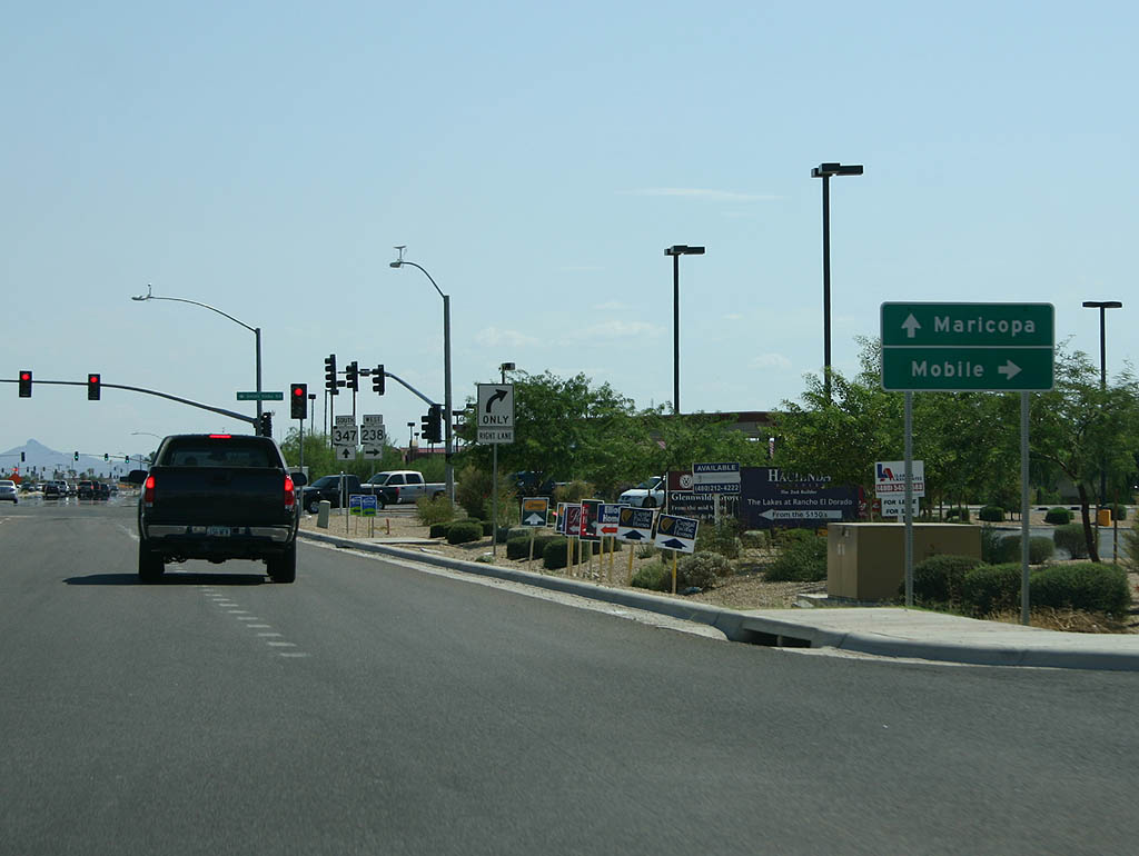
| Arizona Route 238 departs here from SR 347. This intersection changed drastically in the mid 2000s. 07/15/07 |
Photo Credits:07/15/07, 08/19/07 by Kevin Trinkle
Connect with:
Interstate 10
State Route 84
Page Updated 08-27-2007.

 North
North