The gray route numbers on this map show the pre-1982 designations in Northwestern Nevada. A handful of these routes, generally ones unpaved and not otherwise improved to modern standards, retained their original numbering. SR 447 replaced SR 34 north from Nixon to Gerlach and Nevada 81 from there to the California state line.
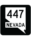
Through Washoe County, Nevada State Route 447 stretches 53.07 miles from Business Loop I-80/SR 427 (old U.S. 40) in Wadsworth to the Pershing County line through Poito Valley. Parallel to the Truckee River, this section of highway passes through Pyramid Lake Indian Reservation north to Nixon and the southeast periphery of Pyramid Lake. Continuing north, SR 447 straddles the foothills of the Lake Range alongside the dry bed of Winnemucca Lake to the Poito Valley and a 11.62 mile long segment through Pershing County.
SR 447 reenters Washoe County to the northwest of Luxor Peak. The 9.96 mile stretch runs along the west side of the Selenite Range to Empire and the Black Rock Desert. The state route ends 0.375 miles north of the Western Railroad crossing as Main Street in Gerlach. Washoe County Route 447 extends north from Gerlach by the Granite Mountains to Duck Lake and the Surprise Valley into Lassen County, California.
|
| SR 447 marker posted after SR 446 west in Nixon. The state route crosses the adjacent Truckee River in a half mile. 10/31/93 |
|
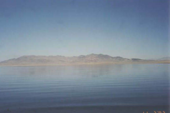
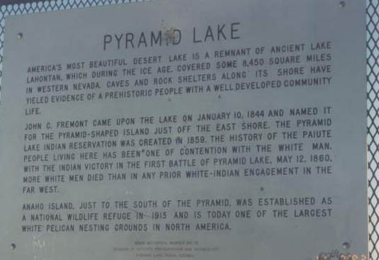
| SR 447 passes by the south end of Pyramid Lake outside Nixon. John Fremont named the lake after the pyramid shaped island located near the east shore in 1844. 10/31/93 |
|
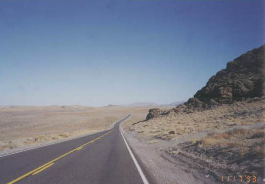
| Traveling north from alongside Marble Bluff toward the dry Winnemucca Lake on SR 447 north. 10/31/93 |
|
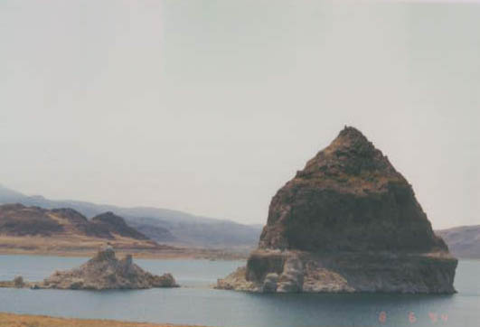
| The Pyramid rock island is located north of Anaho Island and west of the Lake Range adjacent to the eastern lake shore. 10/31/93 |
|
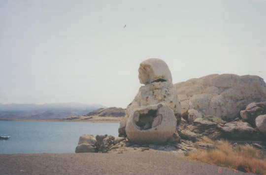
| Nearly 40 feet tall, the "Grieving Mother with Stone Basket" tufa formation is located near Pyramid Lake and SR 447. 10/31/93 |
|
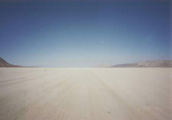
| Traveling north from Empire and west of the Selenite Range, SR 447 emerges across the Black Rock Desert. Land speed records set on this flat land are comparable to the those set at the Great Salt Flats in western Utah. 10/31/93 |
|
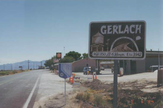
| SR 447 makes a sharp curve west from the Western Railroad cross to enter the unincorporated community of Gerlach. This is about as far as one can get from any other civilization in Nevada. The lone gas station is the only fuel within a wide area, including northwestern Nevada, extreme northeastern California and southern Oregon. 10/31/93 |
|
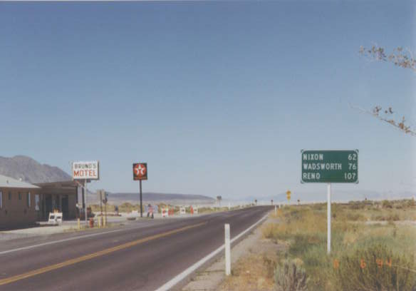
| Leaving Main Street and the community of Gerlach, SR 447 south traverses the Black Rock Desert to Poito Valley and the dry bed of Lake Winnemucca on the 62 mile drive to Nixon. 10/31/93 |
Page Updated 07-18-2017.


 North
North