
Florida State Road 573 makes up the southernmost portion of Dale Mabry Highway, taking the route 1.90 miles south from the turn of U.S. 92 onto Gandy Boulevard to the Mac Dill Air Force Base main gate. The commercial arterial carries four lanes north from a roundabout with Marcum Street to Ballast Point Boulevard, and five lanes from there to U.S. 92.
Historically State Road 573 was previously designated as the southernmost section of State Road 685. This coincided with the designation of Interbay Boulevard west to Port Tampa City as Florida Secondary 685A.
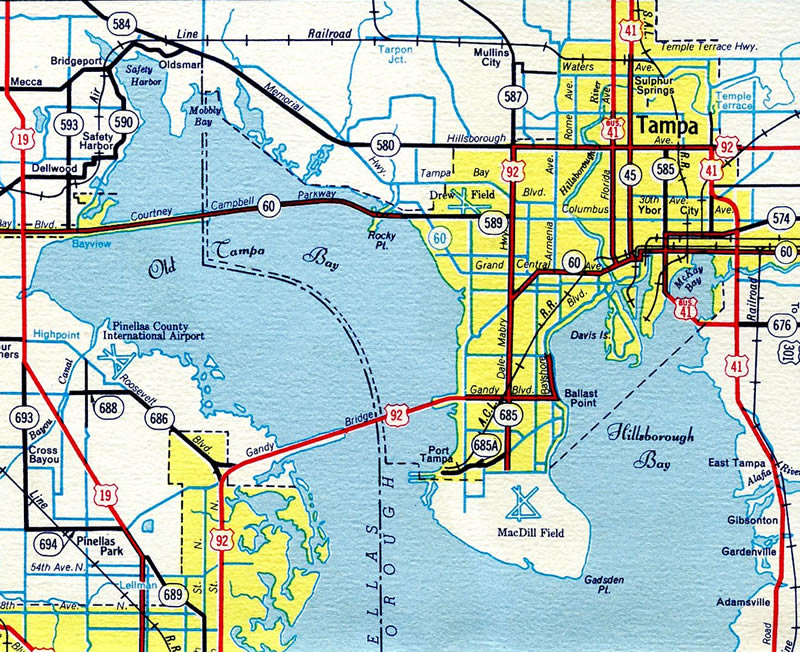
The 1955 Florida Official Highway Map shows both Dale Mabry Highway south of U.S. 92 as SR 685 and Interbay Boulevard as SR 685A Today Interbay Boulevard is undesignated.
 | Leaving the roundabout with Marcum Street west along SR 573 (Dale Mabry Highway) northbound. 09/05/15 |
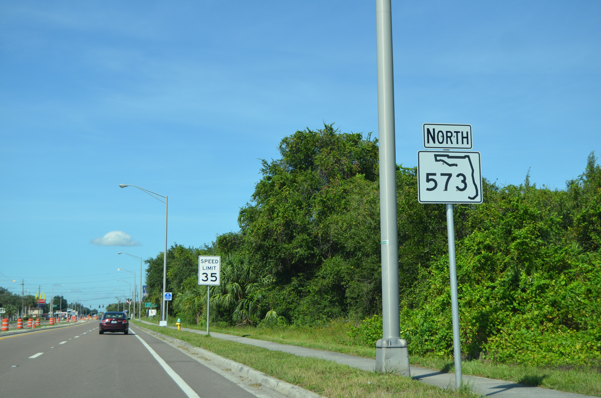 | A northbound SR 573 shield stands along Dale Mabry Highway north of Marcum Street. 10/08/16 |
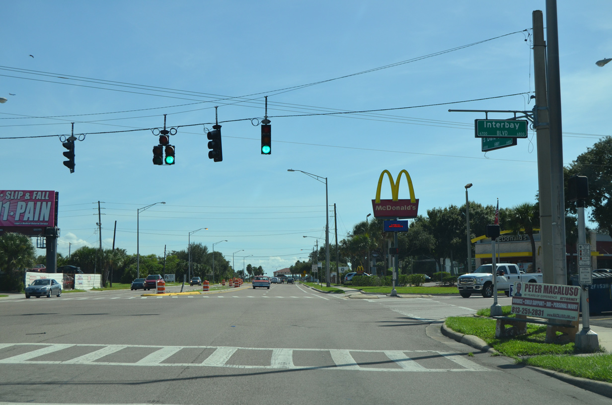
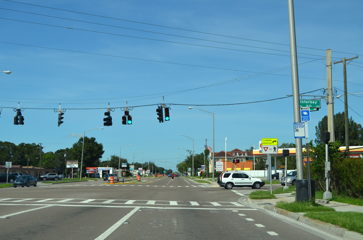 | Interbay Boulevard heads northeast from Port Tampa City to intersect Dale Mabry Highway at Sun Bay South. East of SR 573, Interbay Boulevard continues to the Interbay and Ballast Point neighborhoods. 10/08/16 |
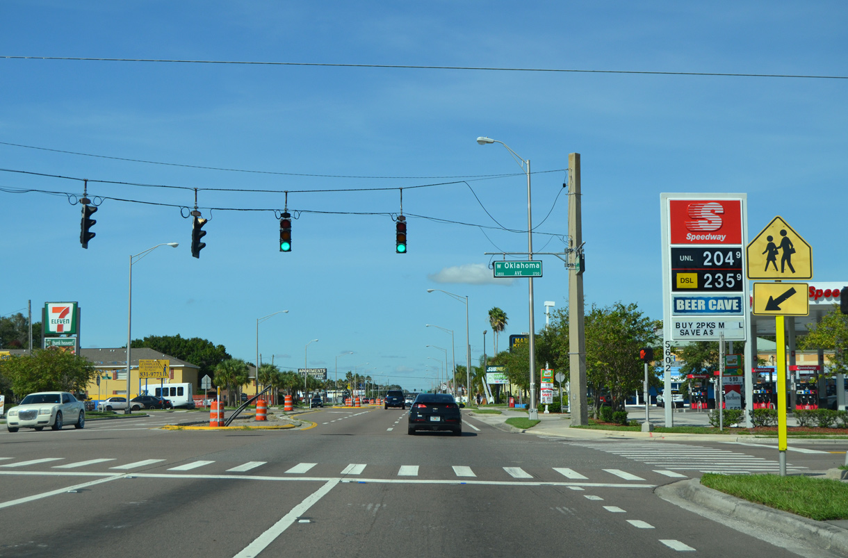 | Oklahoma Avenue comprises a residential street across the Gandy/Sun Bay South neighborhood. The signal with Dale Mabry Highway serves a nearby elementary school. 10/08/16 |
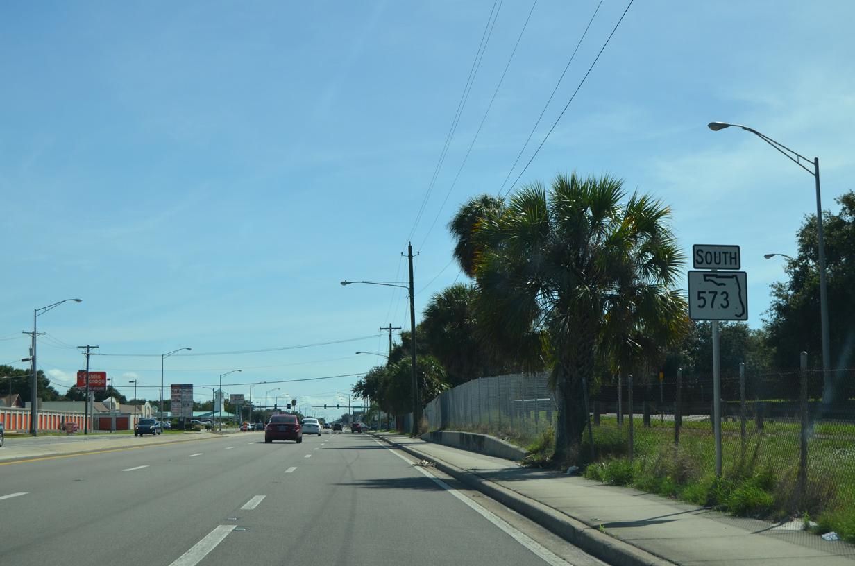
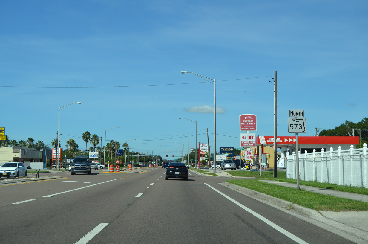 | Continuing north from Oklahoma Avenue, SR 573 (Dale Mabry Highway) advances to this reassurance marker at Pearl Avenue. 10/08/16 |
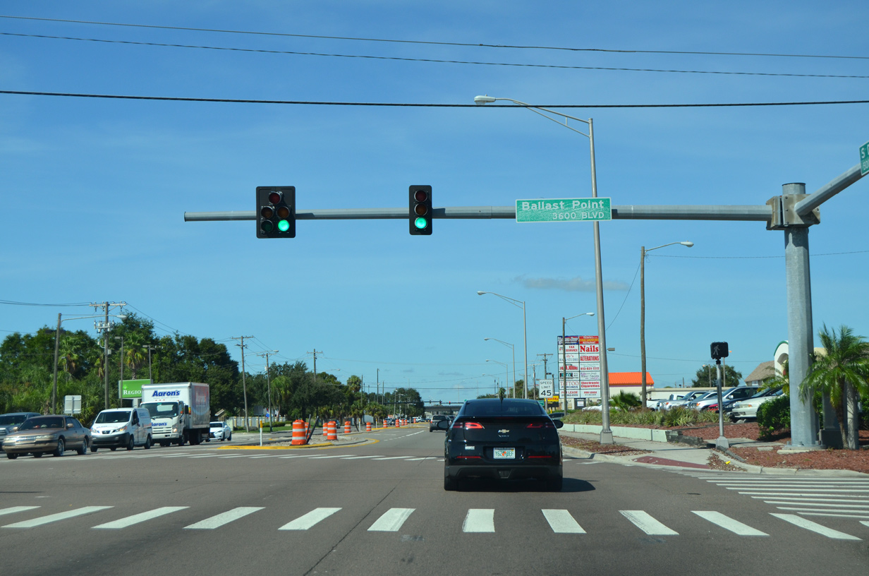 | Ballast Point Boulevard west ties into a signalized intersection with SR 573 across from two big box stores. 10/08/16 |
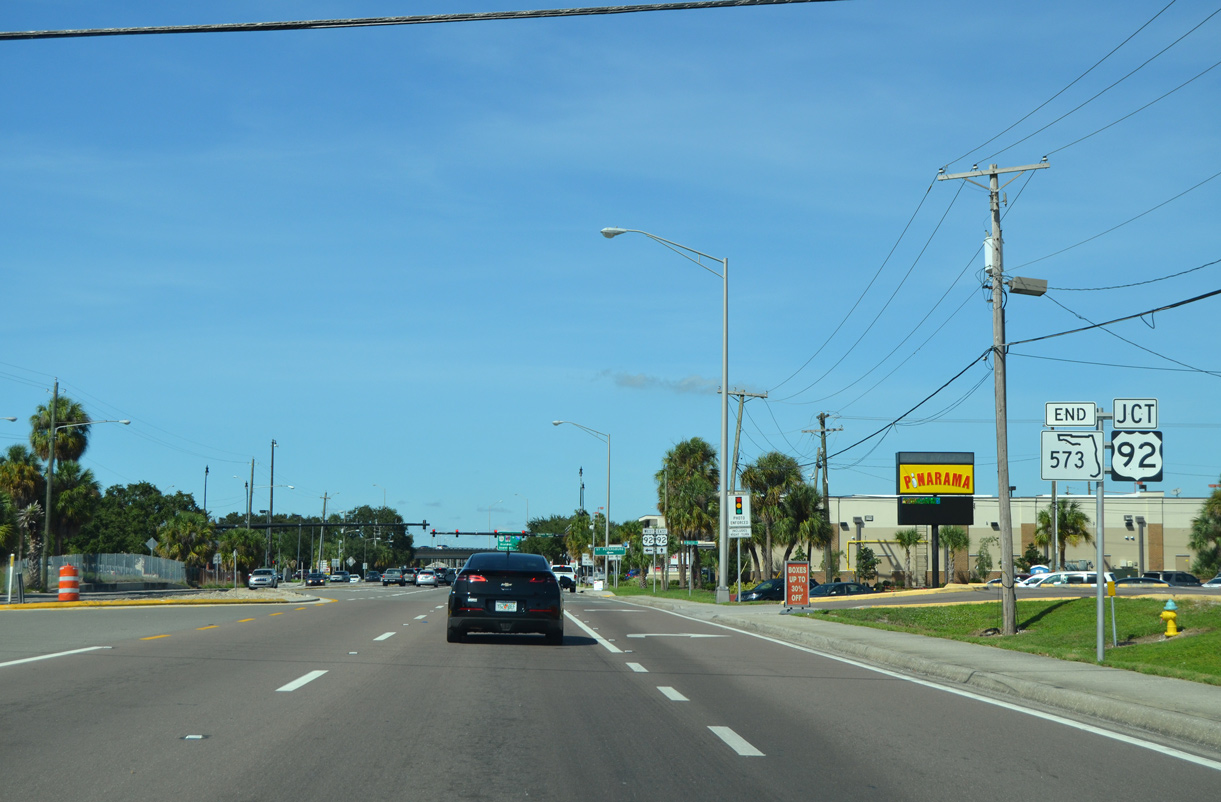 | SR 573 north concludes at the turn of U.S. 92 from Gandy Boulevard onto Dale Mabry Highway. U.S. 92 doubles as SR 600 through South Tampa. 10/08/16 |
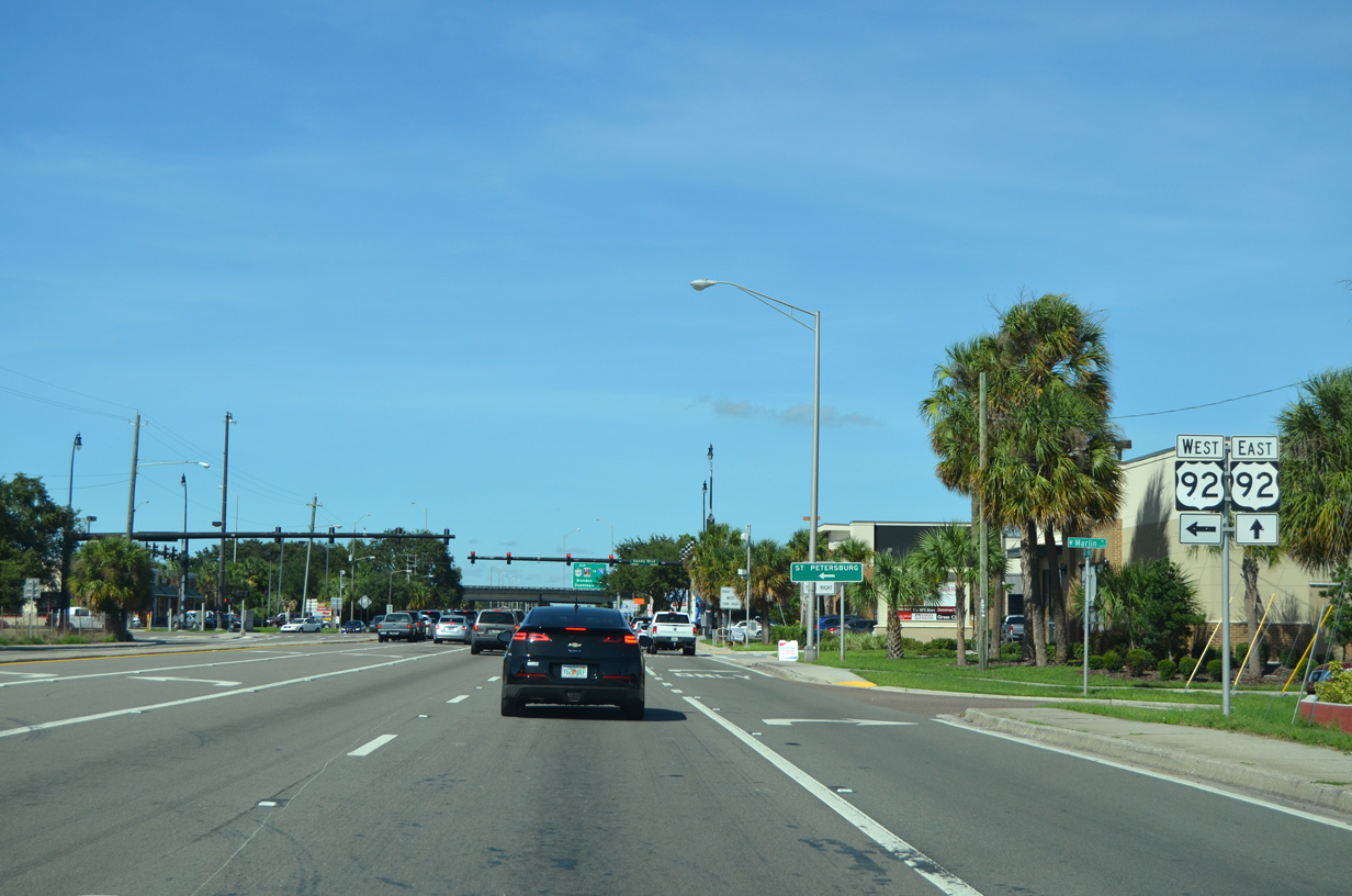 | Gandy Boulevard leads west from Bayshore Boulevard on Hillsborough Bay to become U.S. 92 west to Bayside West and the Gandy Bridge spanning Old Tampa and Tampa Bays. 10/08/16 |
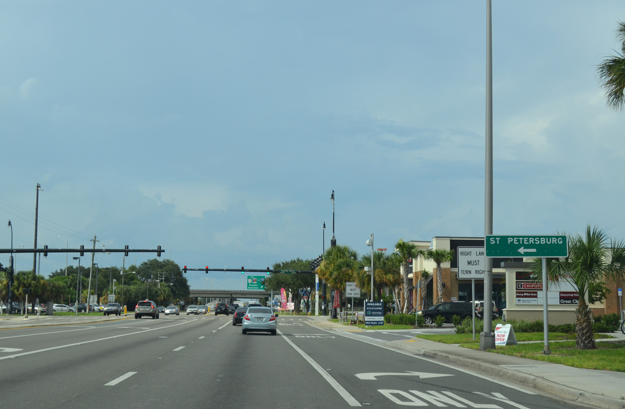 | U.S. 92 provides a direct link to Downtown St. Petersburg via Gandy Boulevard / Bridge west and 4th Street N (SR 687) south. U.S. 92 eastbound lines Dale Mabry Highway north seven miles to Hillsborough Avenue (SR 580). 09/05/15 |
 | South of U.S. 92 (Gandy Boulevard), SR 573 (Dale Mabry Highway) passes by adjacent loop ramps for the Le Roy Selmon Expressway (SR 618) east. 10/08/16 |
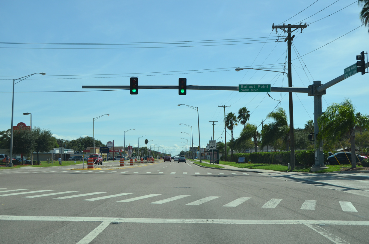 | Ballast Point Boulevard stems east from SR 573 and a big box retail center through the Ballast Point neighborhood to Bayshore Boulevard. A second section of the street runs east from there toward Ballast Point, where a park and pier are located. 10/08/16 |
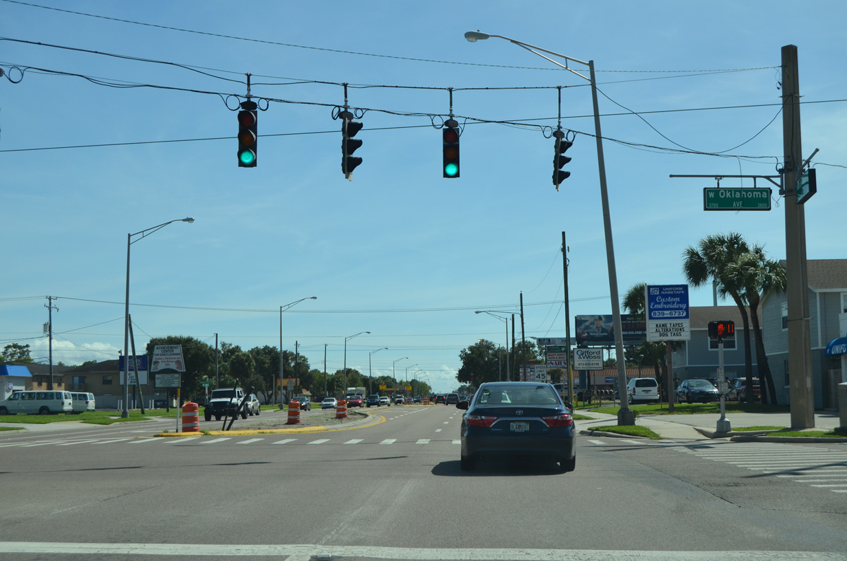 | Oklahoma Avenue runs west to Westshore Boulevard (CR 587) and east to Himes Avenue by Chiaramonte Elementary School. 10/08/16 |
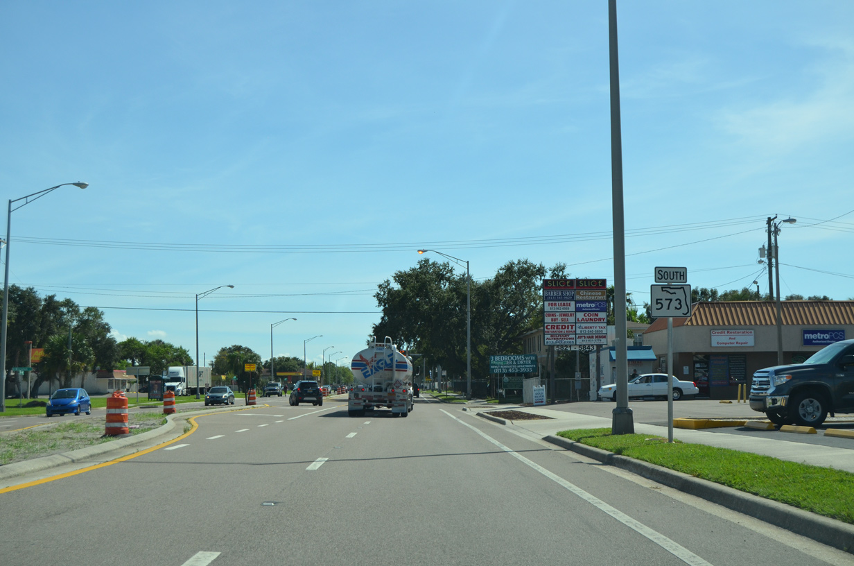 | A second and final shield for SR 573 south stands at Wyoming Avenue. 10/08/16 |
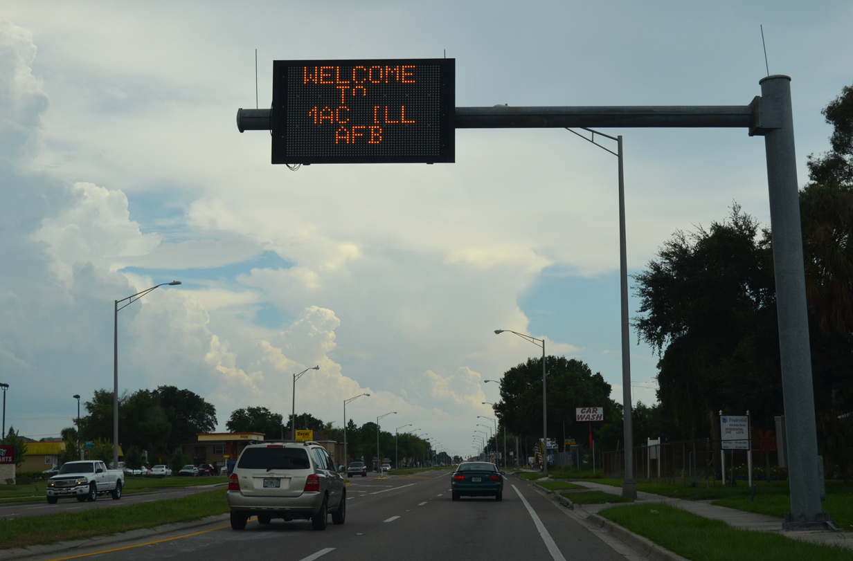 | State named streets cross Dale Mabry Highway further south through the Gandy/Sun Bay South neighborhood. Posted beyond Iowa Street is a dynamic message sign for the Mac Dill AFB main gate. 09/05/15 |
 | Interbay Boulevard angles southwest from Ballast Point across SR 573 (Dale Mabry Highway) en route to Port Tampa City. The major collector links with Westshore Boulevard (CR 587) north and Commerce Street west toward Picnic Island Park. 10/08/16 |
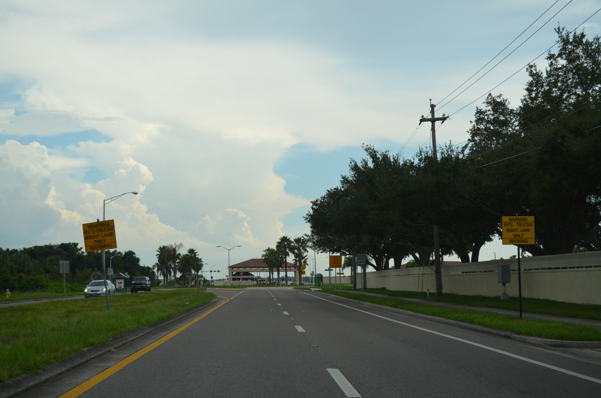 | A series of signs precede the roundabout with Marcum Street and entrance to MacDill A.F.B. 09/05/15 |
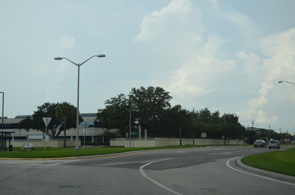
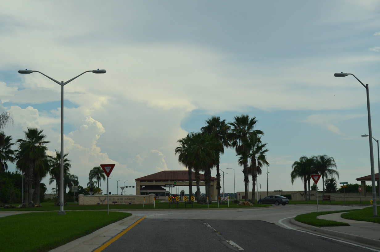 | Marcum Street spurs west from a roundabout with SR 573 (Dale Mabry Highway) to the MacDill A.F.B. Visitors Center and a pair of industrial businesses. 09/05/15 |
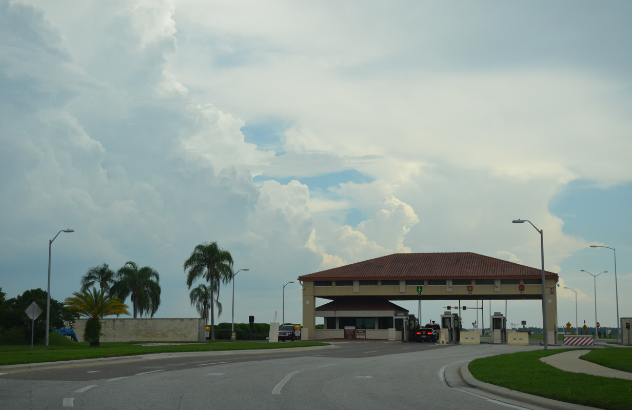 | Dale Mabry Highway transitions to N Boundary Boulevard beyond the end of SR 573 and MacDill Air Force Base main gate en route to the commissary. 09/05/15 |
Photo Credits:
09/05/15, 10/08/16 by AARoads
Connect with:
U.S. 92
Page Updated 03-23-2021.