
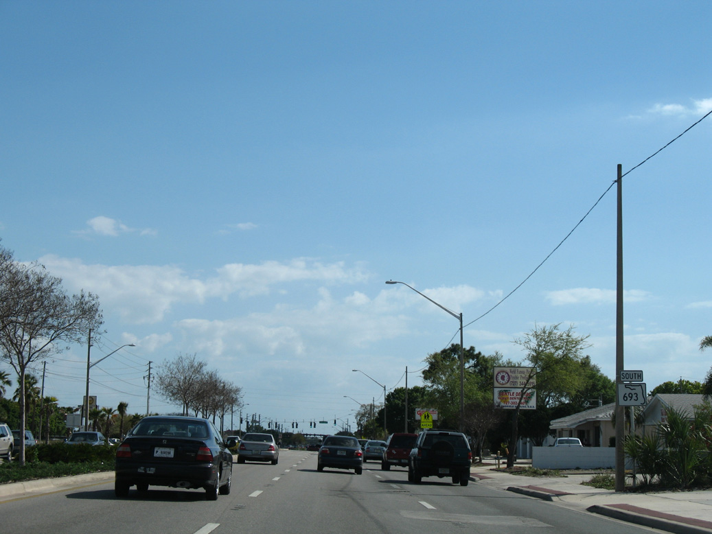
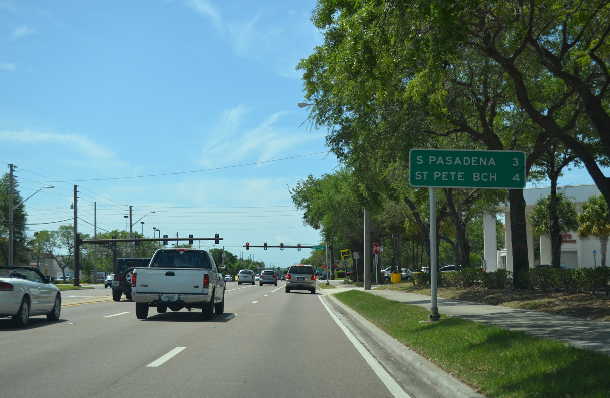
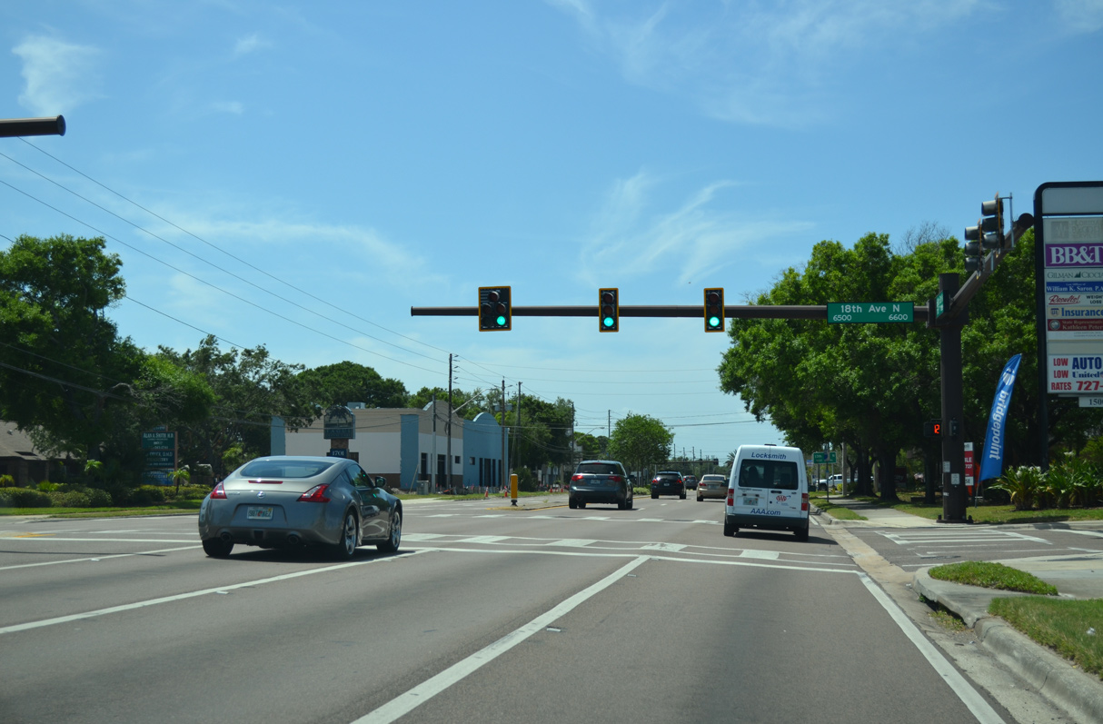
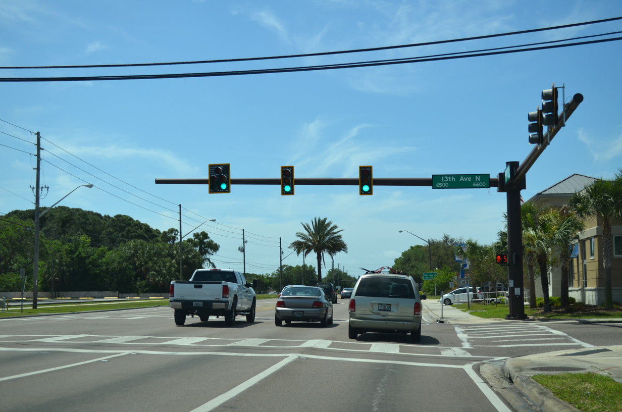
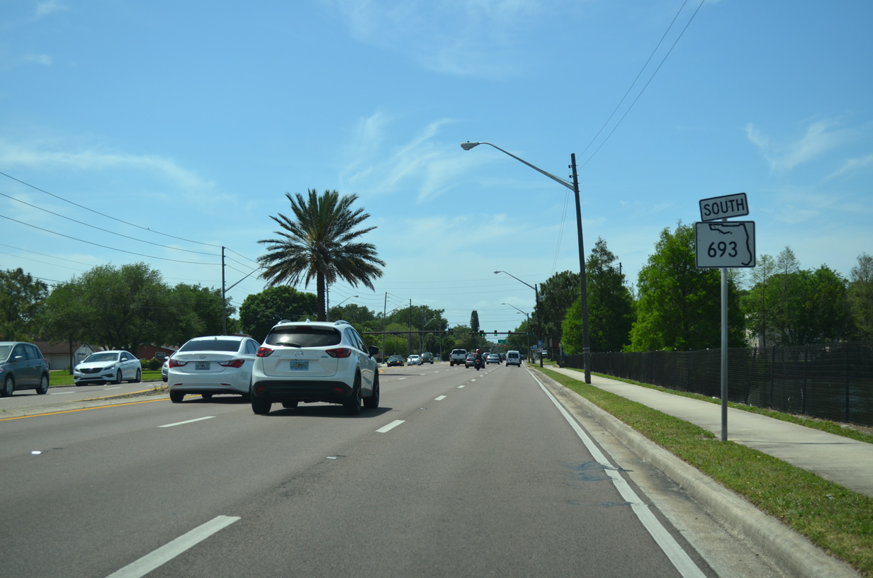
SR 693 forms an arterial route from SR 699 (Blind Pass Road / 75th Avenue) in St. Pete Beach to the U.S. 19 freeway in Largo. The state road crosses the Intracoastal Waterway along Corey Causeway into the city of South Pasadena. Pasadena Avenue extends SR 693 north into western reaches of St. Petersburg to 66th Street N. 66th Street N carries the remainder of the route to Kenneth City, Pinellas Park and Largo.
Historically, State Road 693 was assigned as SR A19A. Designated in 1969, SR A19A acted as a branch of U.S. 19 Alternate to connect the parent route with the beach communities of south Pinellas County. 66th Street N was widened from Central Avenue (CR 150) in St. Petersburg to U.S. 19 at Pinellas Park during construction from late 1963 to May 23, 1969. The $4.439 million project originated in 1956. The six lane expansion from Central Avenue to Tyrone Boulevard (U.S. 19 Alternate) was finished in late 1964 and from there to Park Boulevard in November 1966. A ribbon cutting ceremony took place at the St. Petersburg Welcome Station at U.S. 19 and 66th Street N, marking completion of the four lane stretch from Park Boulevard (SR 694) to U.S. 19. The celebration also formally acknowledged the renumbering of 66th Street as part of SR A19A, which was touted as both an alternate route for U.S. 19 and U.S. 19 Alternate, and a conduit for bringing more traffic to the tolled Pinellas Bayway.1
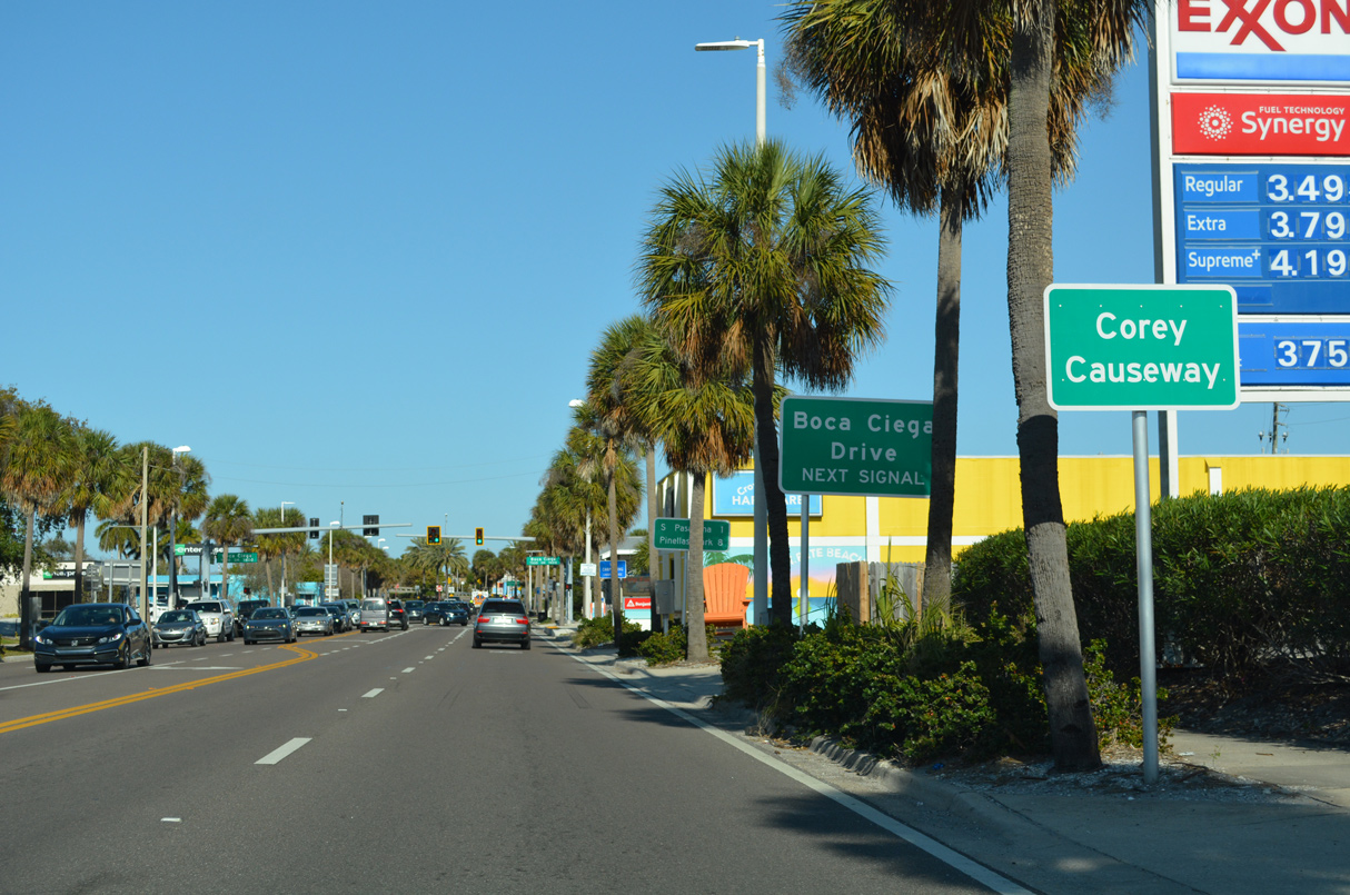
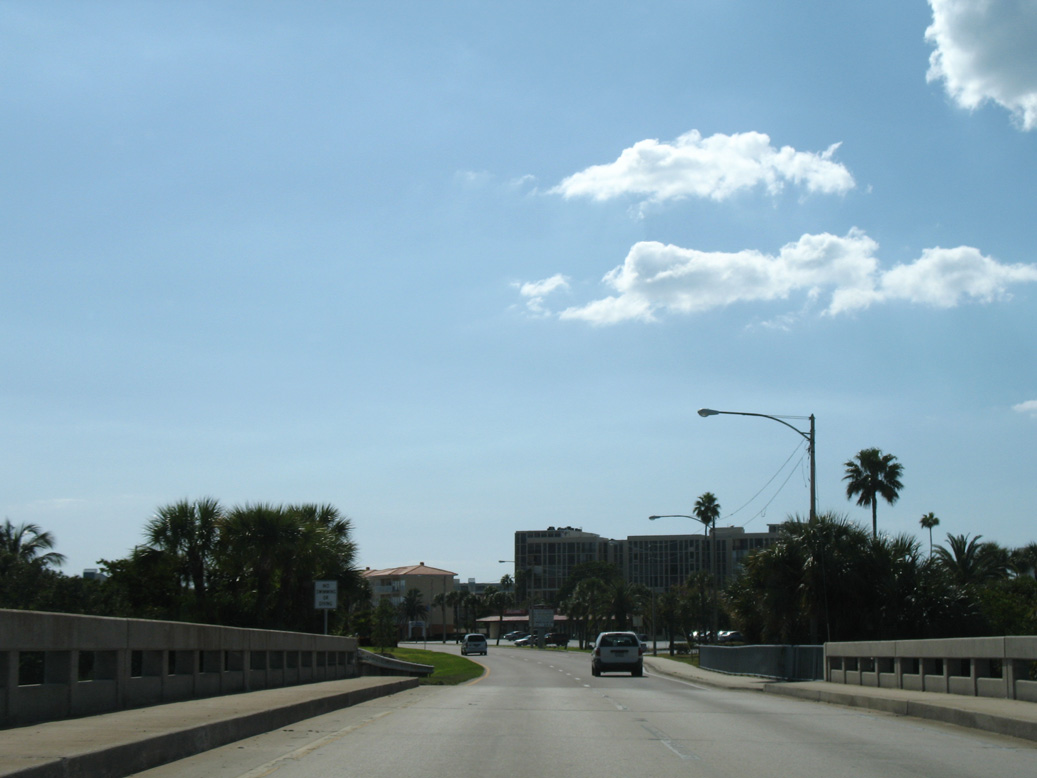
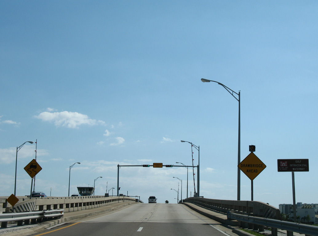
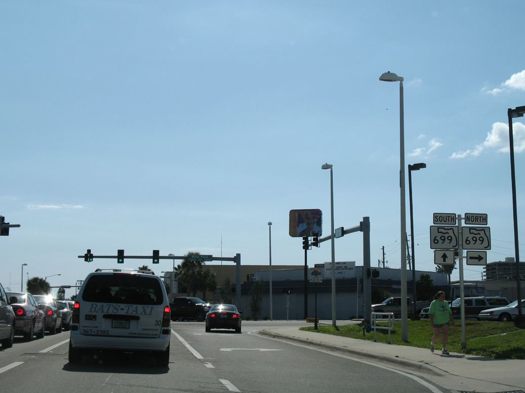
SR 693 lines 75th Avenue two blocks east from SR 699 (Blind Pass Road) to Corey Causeway.
01/06/07
01/06/07
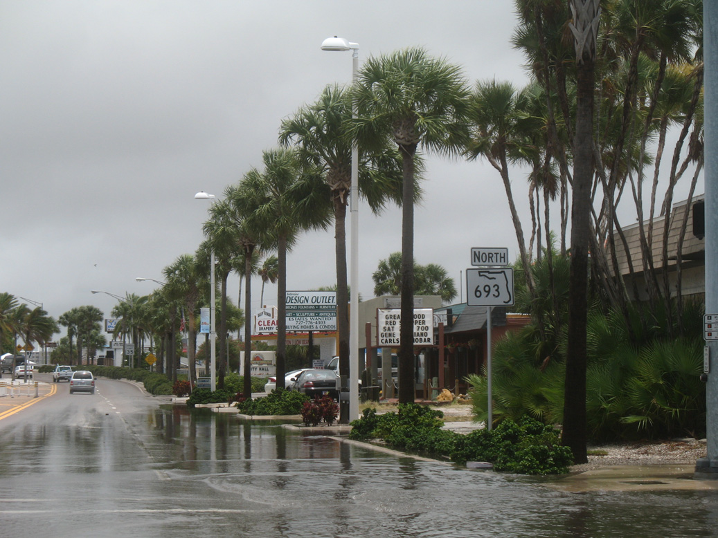
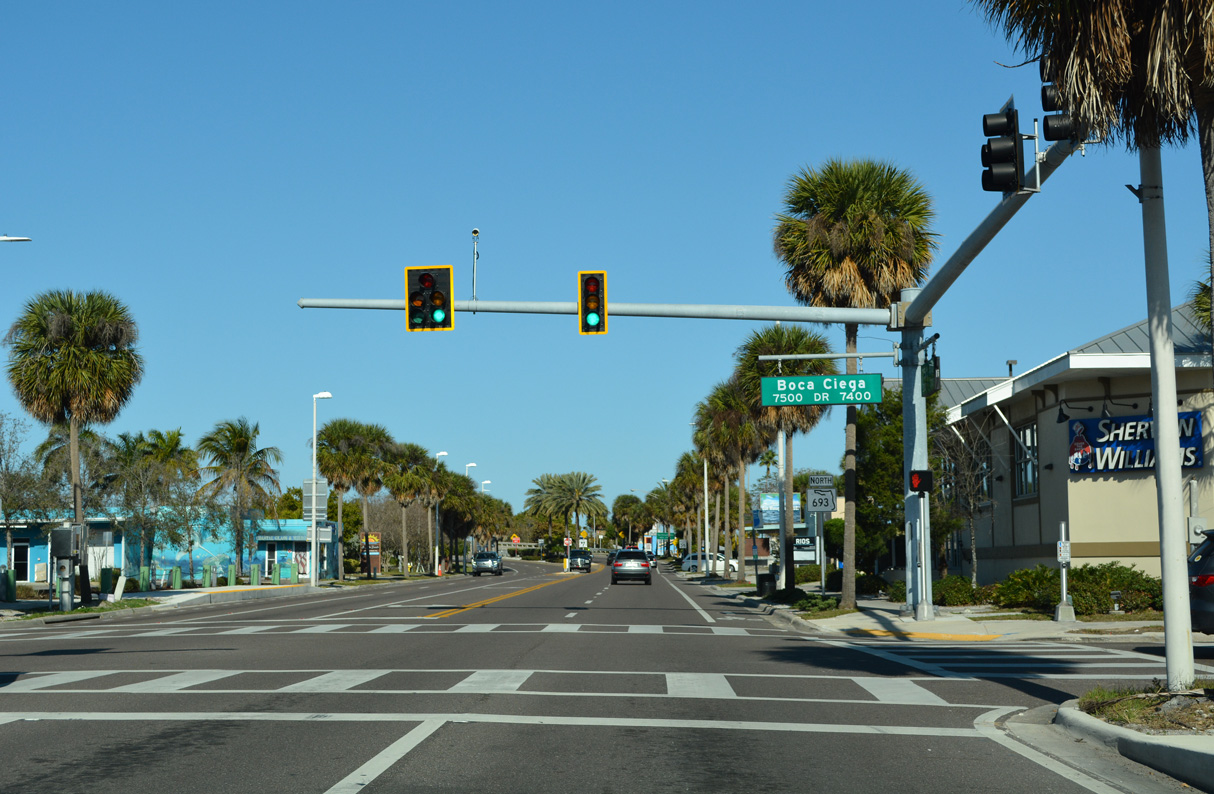
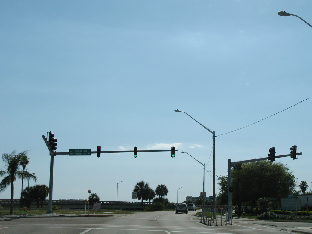
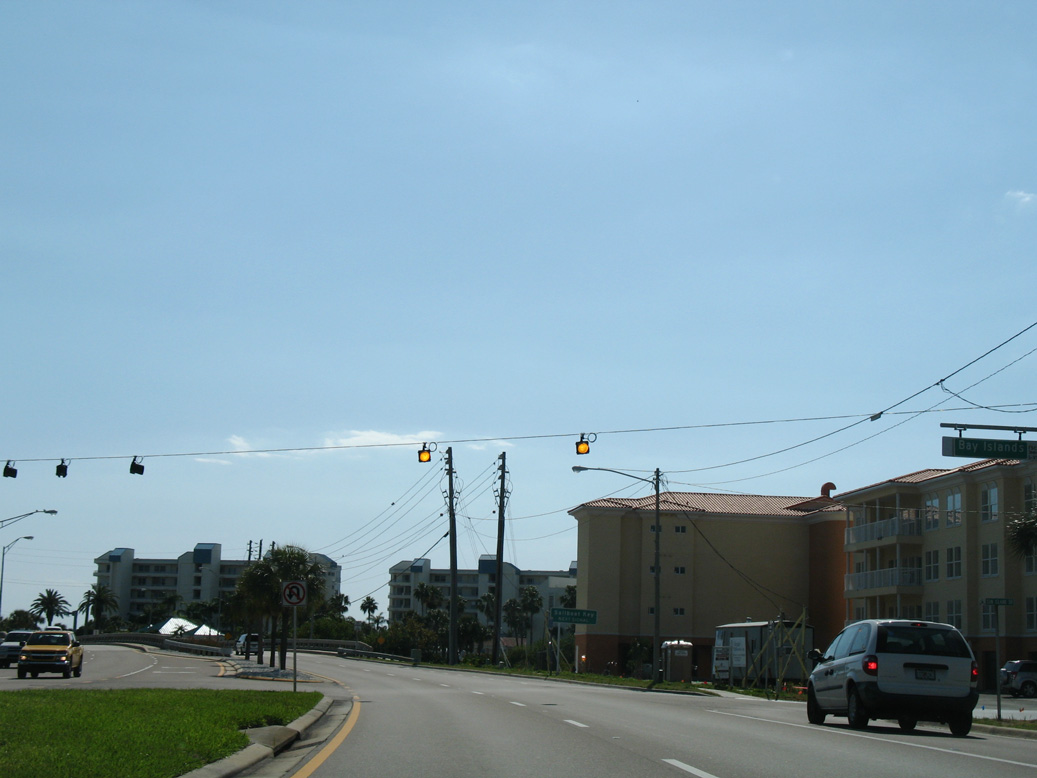
The first confirming marker for SR 693 north stands at the intersection with Boca Ciega Drive near St. Pete Beach City Hall. Flood waters in this scene were from Tropical Storm Barry.
06/02/07
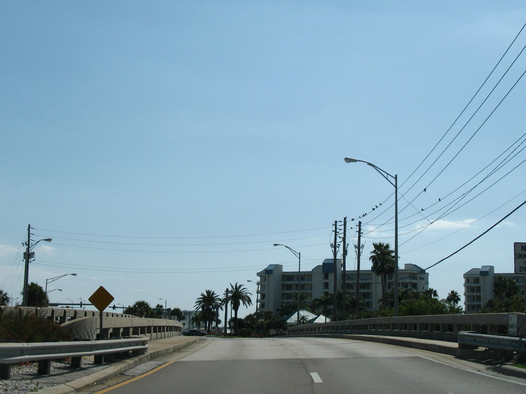
SR 693 curves northeast onto the bridges spanning Boca Ciega Bay by Colonel Michael J. Horan Park.
03/21/07
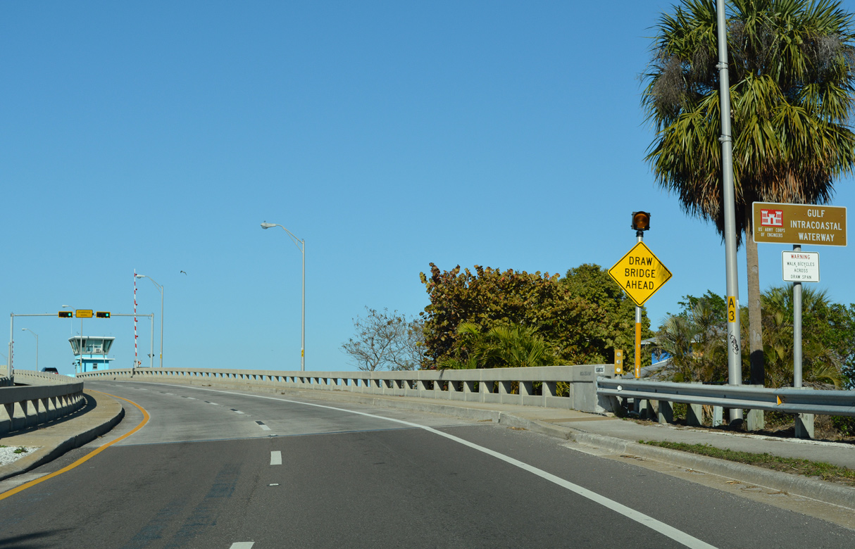
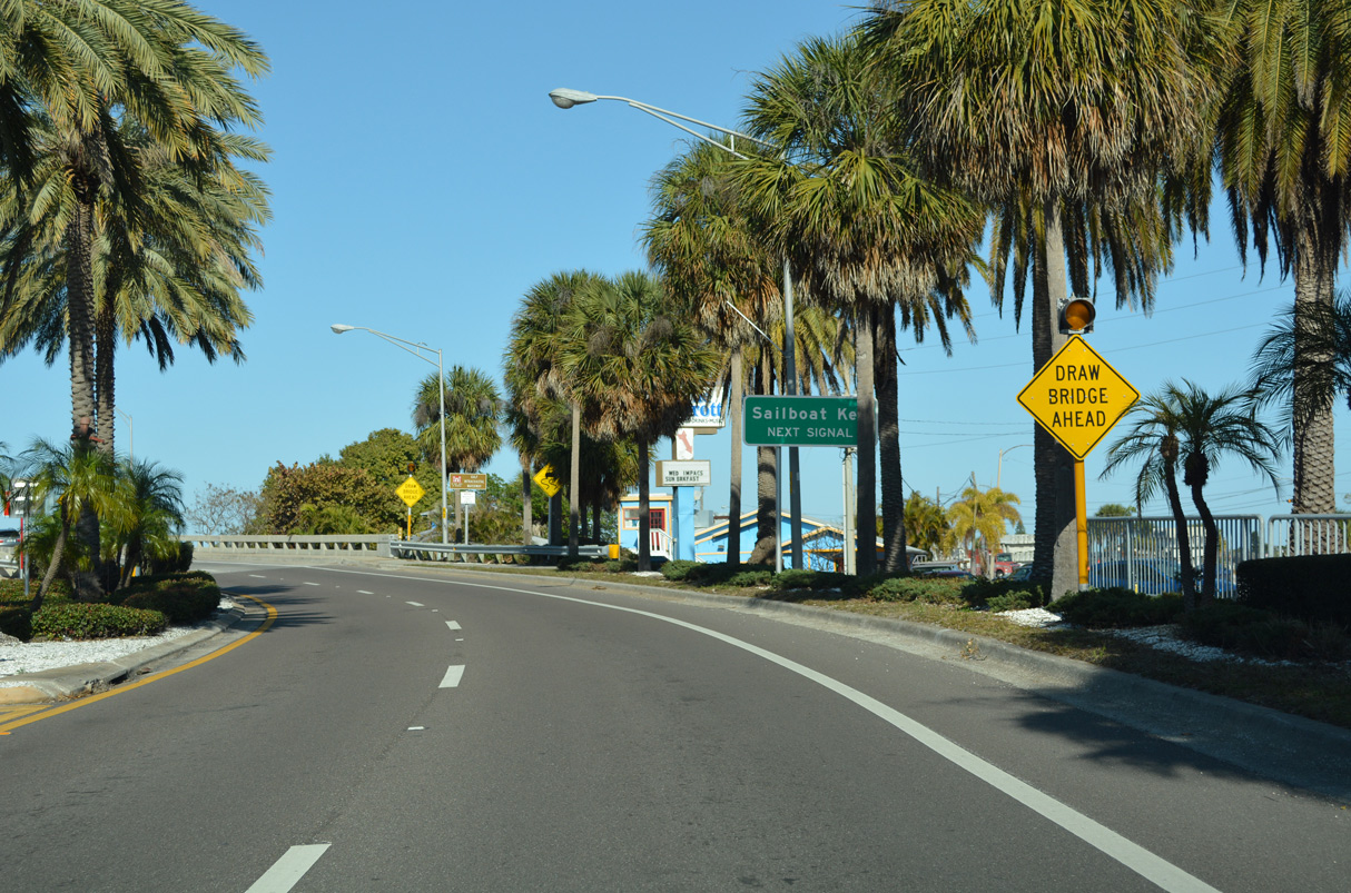
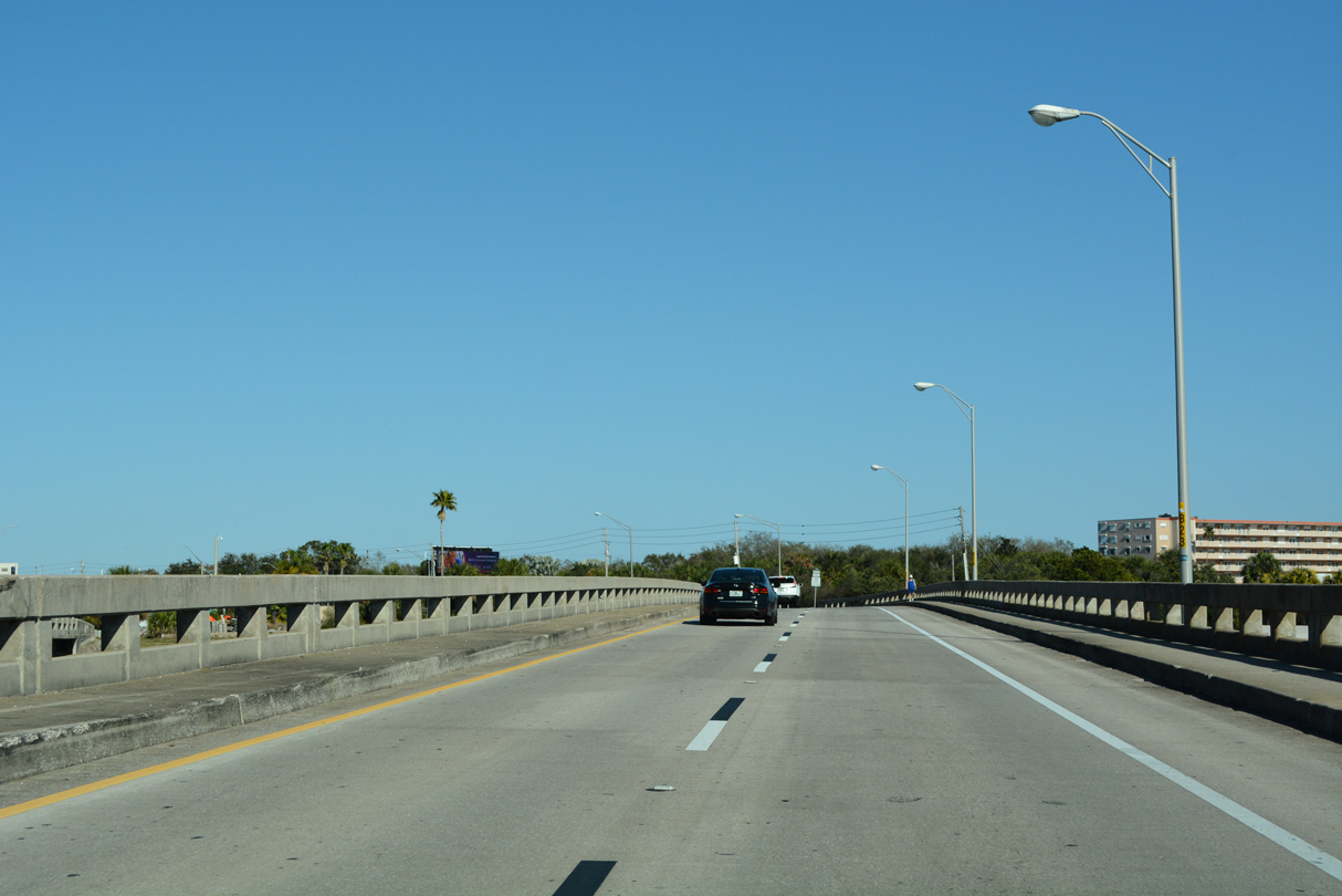
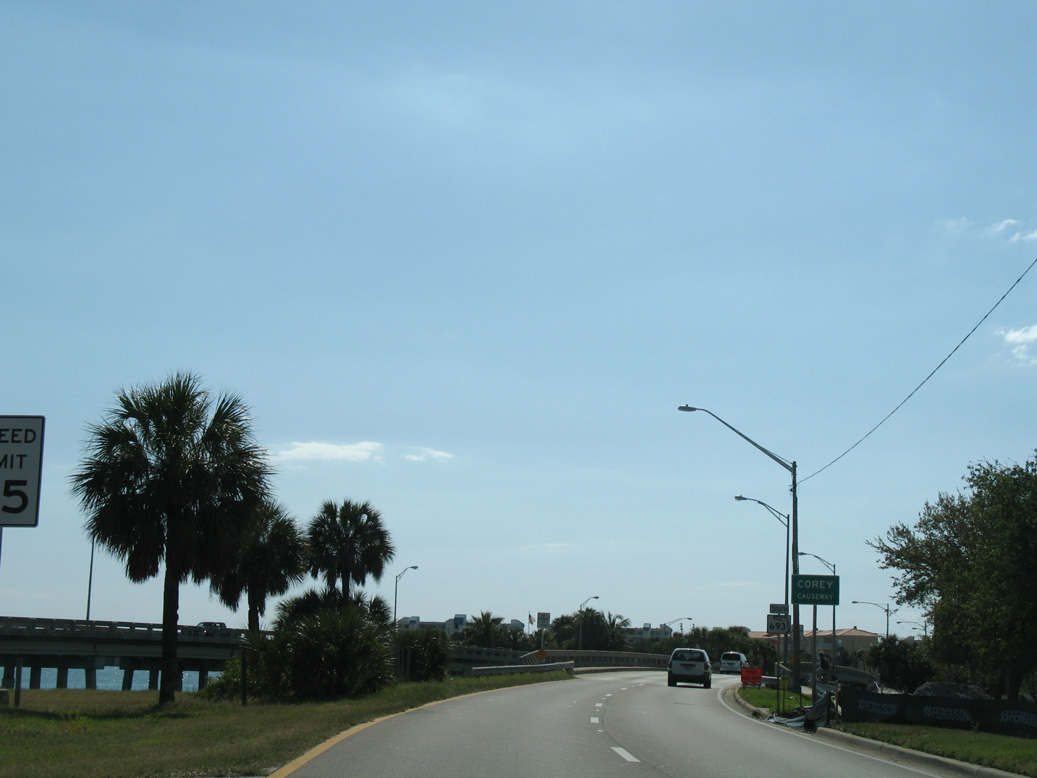
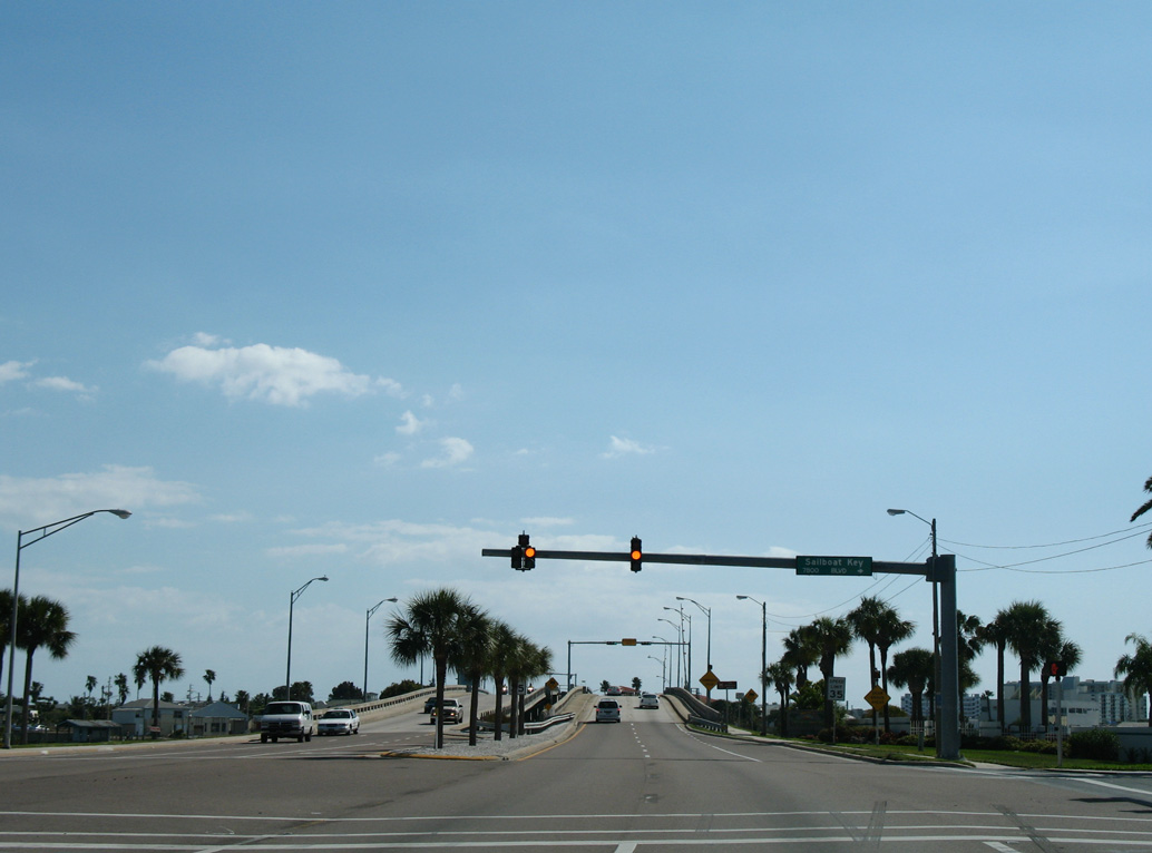
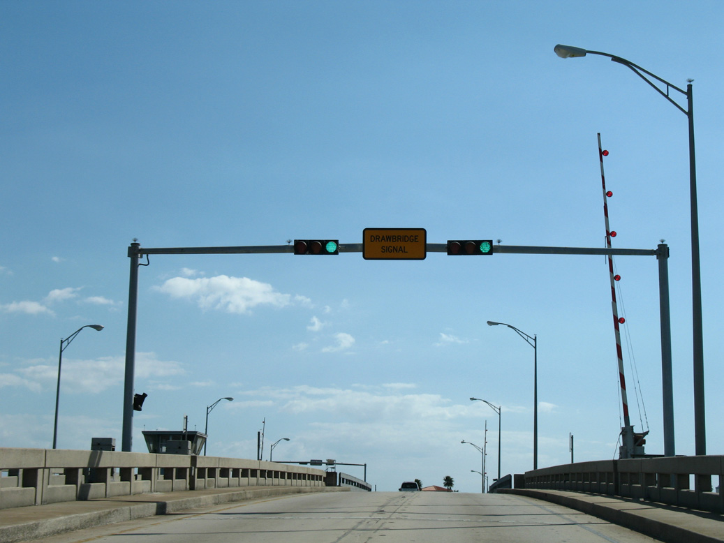
The draw bridge spanning Boca Ciega Bay on Corey Causeway crosses the Gulf Intracoastal Waterway (ICWW).
03/21/07
01/06/07
03/21/07
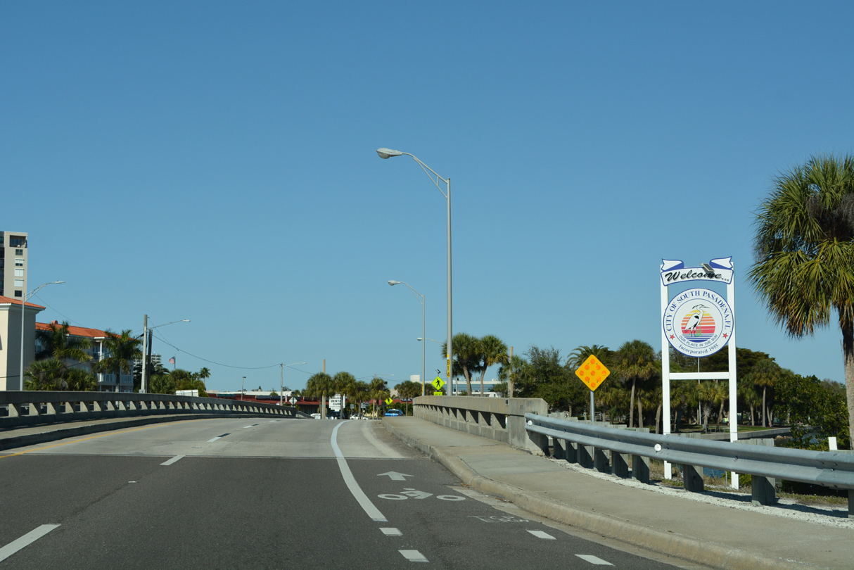
SR 693 (Corey Causeway) enters the city of South Pasadena on Deadman Key.
01/06/07
01/06/07
01/06/07
01/06/07
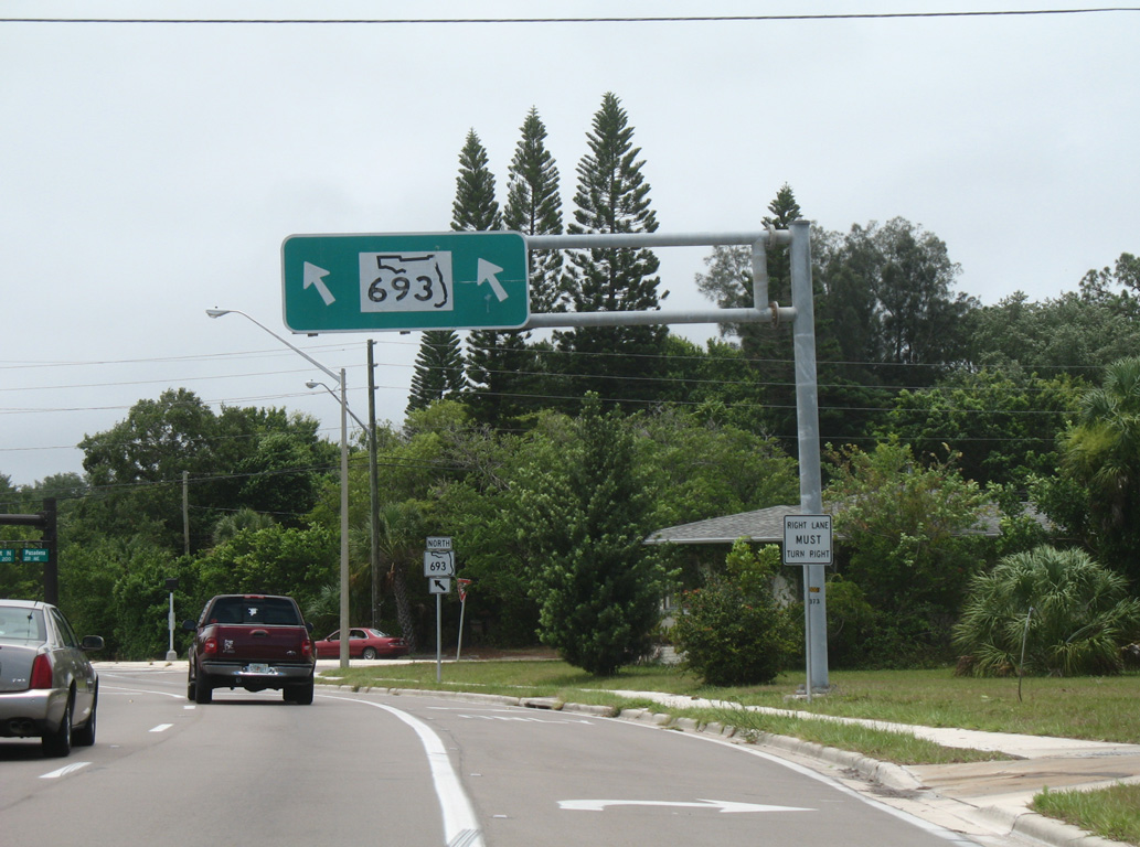
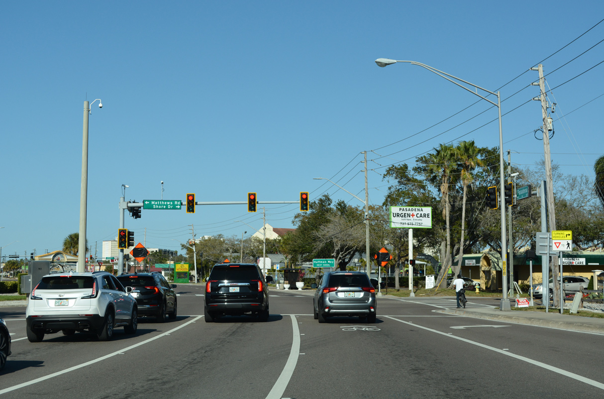
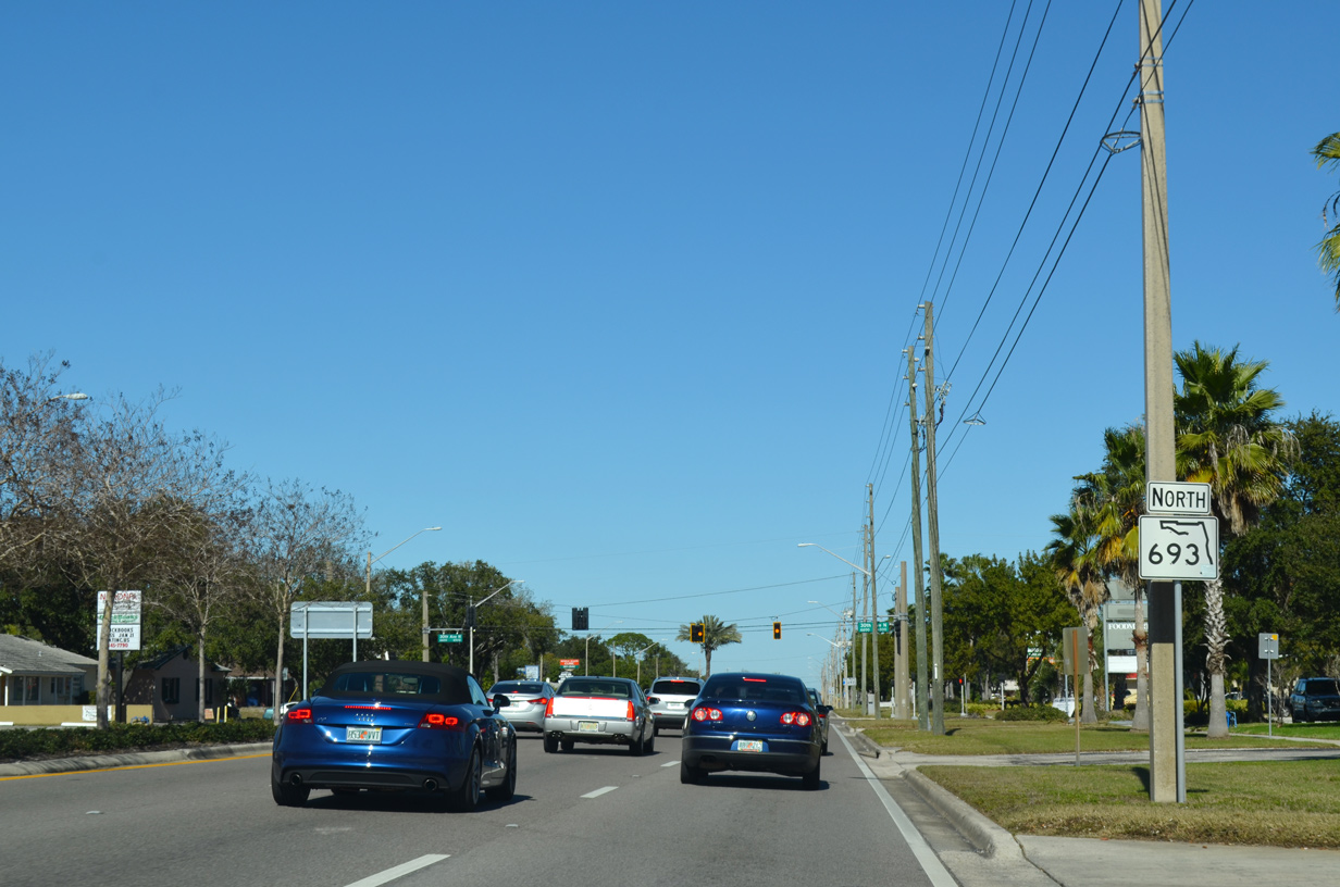
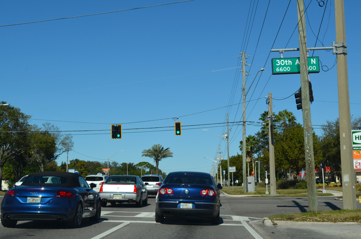
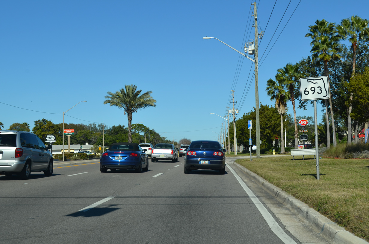
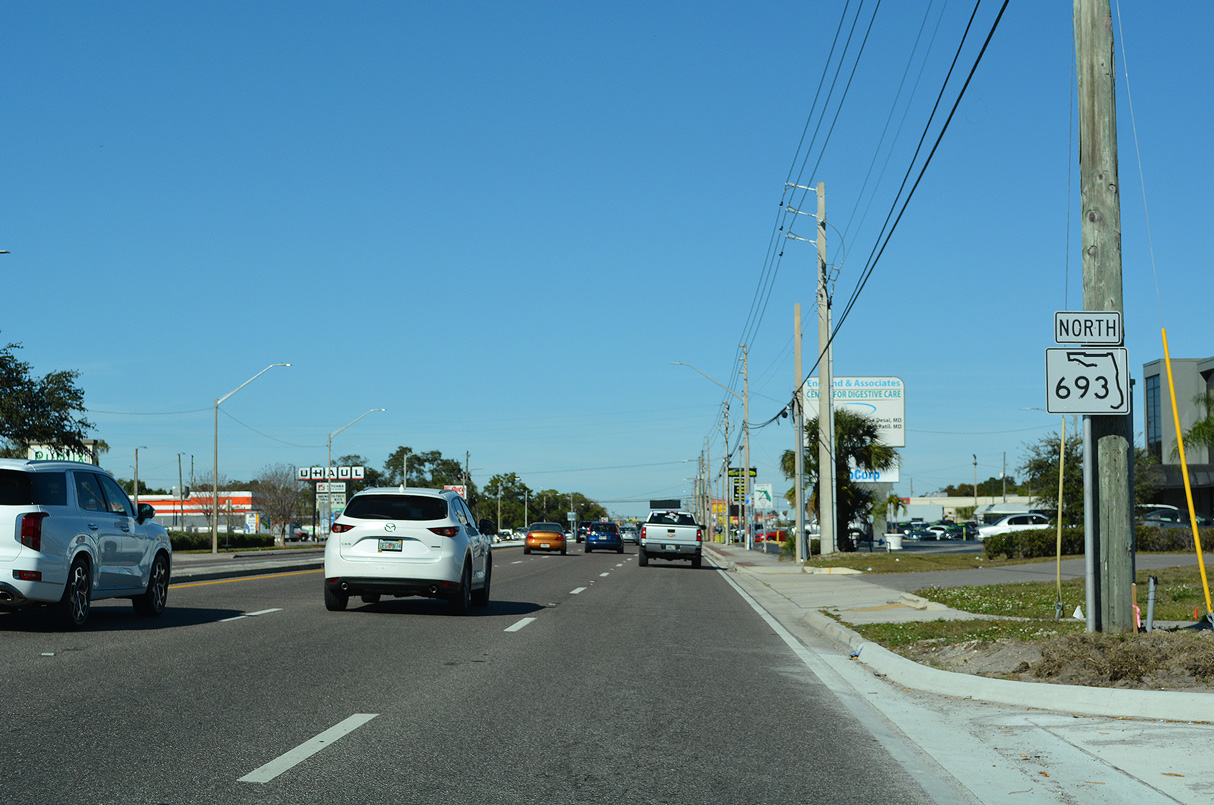
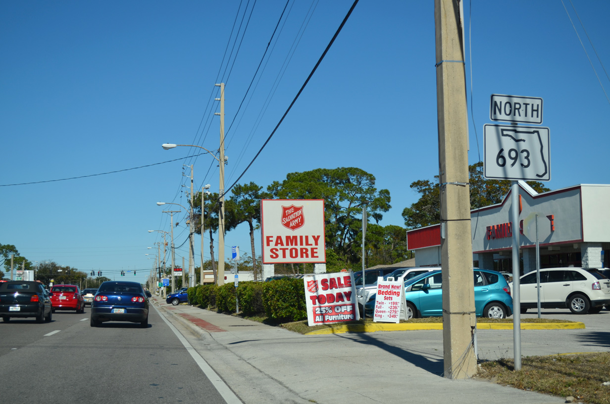
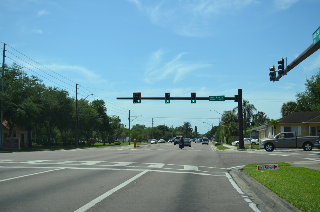
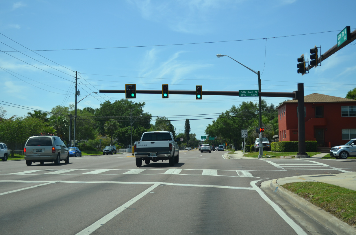
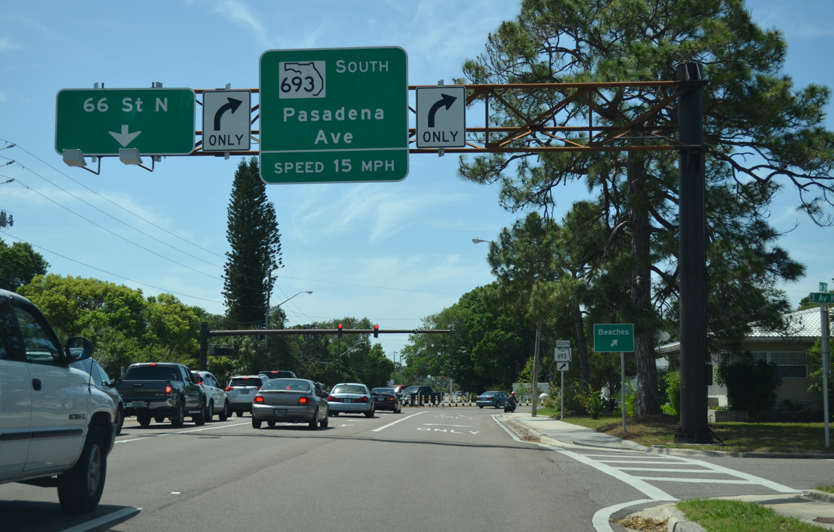
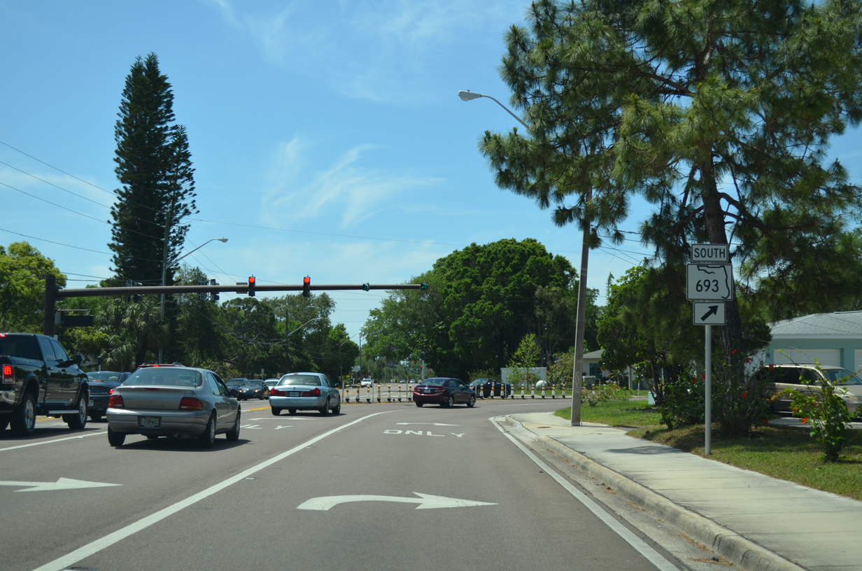
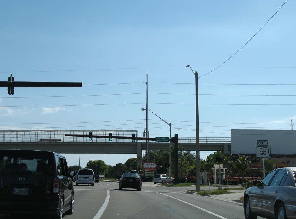
SR 693 shifts from Pasadena Avenue onto 66th Street N.
06/02/07
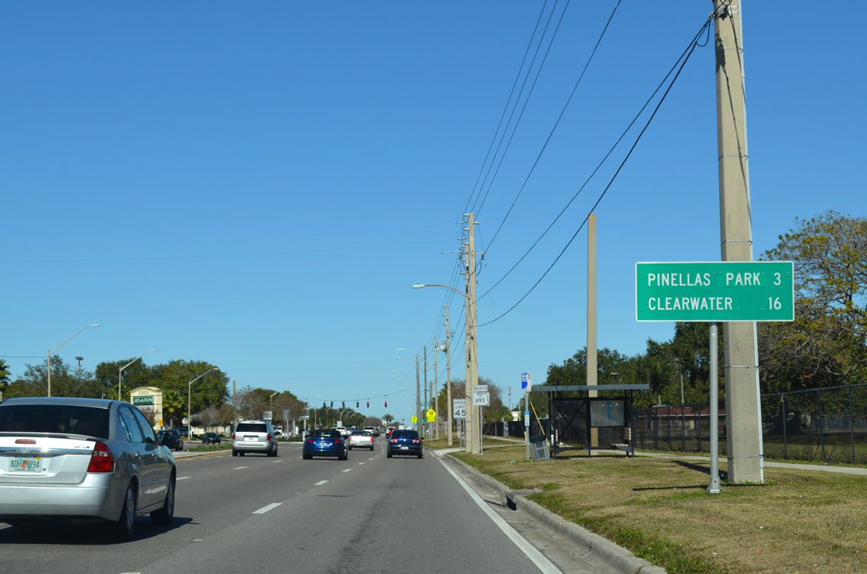
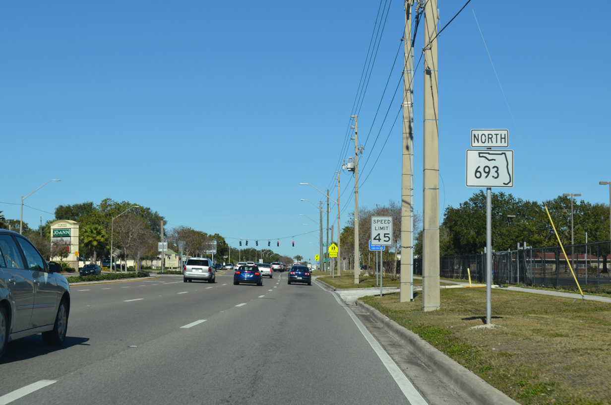
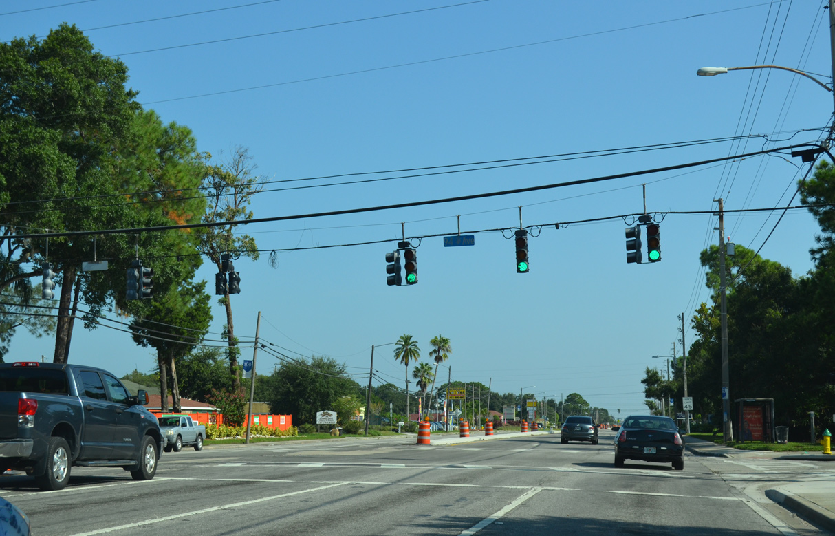
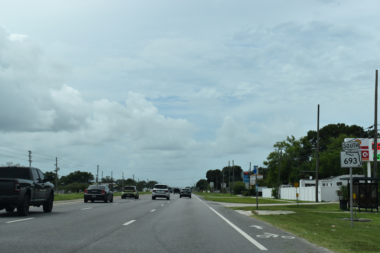
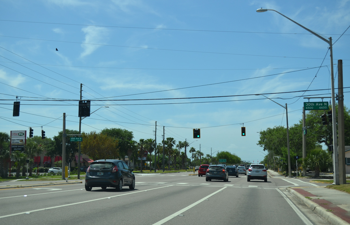
SR 693 (66th Street N) continues three miles north from U.S. 19 ALT (Tyrone Boulevard) to Pinellas Park.
01/18/14
01/18/14
01/18/14
01/18/14
01/18/14
01/18/14
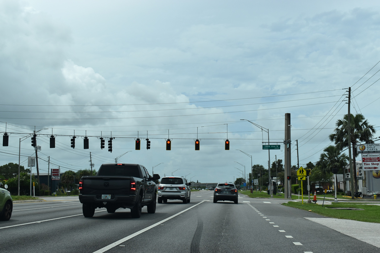
38th Avenue N is CR 138 west to U.S. 19 ALT (Tyrone Boulevard) and east to U.S. 92/SR 687 (4th Street N).
01/18/14
01/18/14
01/18/14
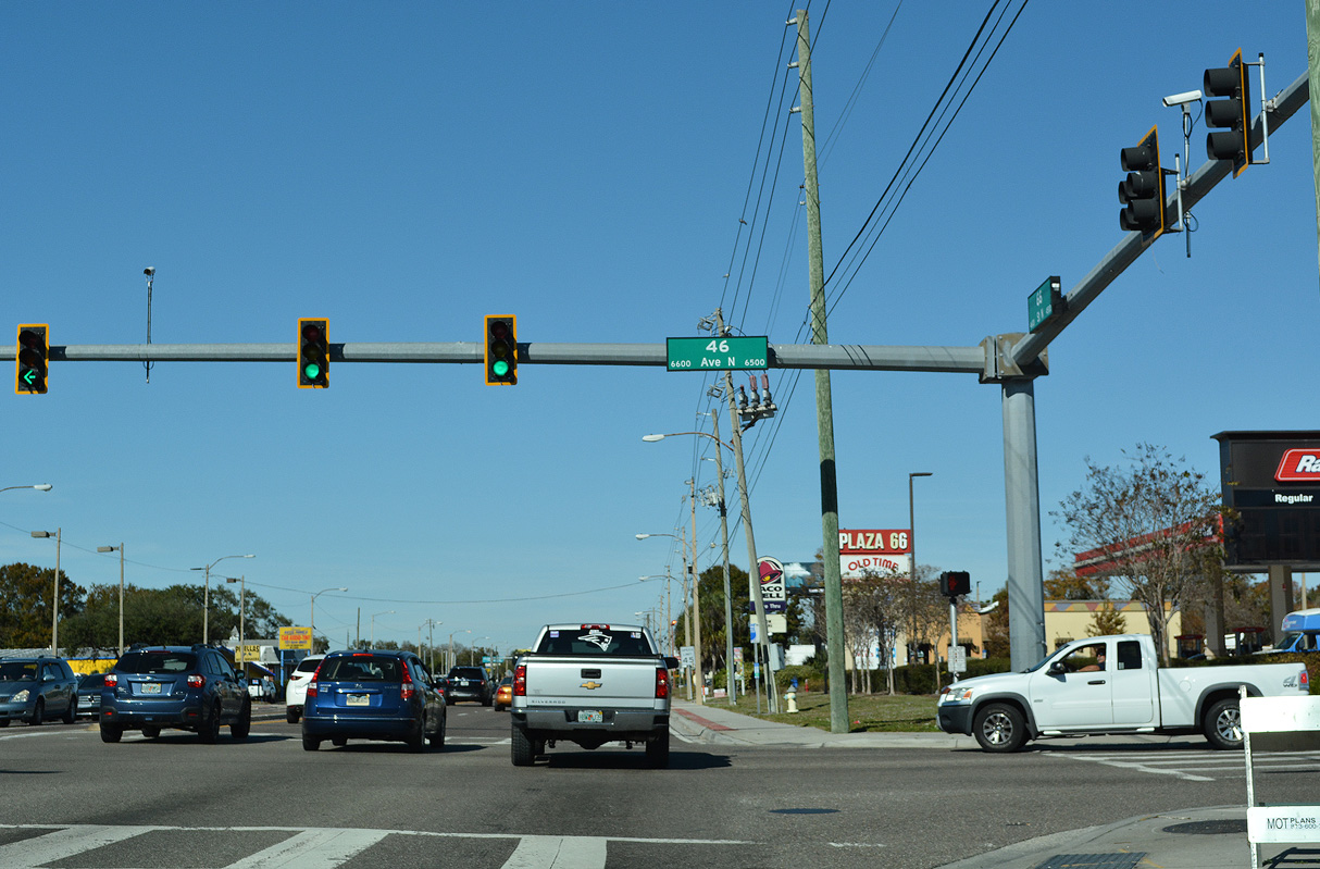
54th Avenue N is Pinellas County Road 202 west to CR 1 (Park Street N) and east to Kenneth City, Lealmand and U.S. 92/SR 687 (4th Street N) in St. Petersburg.
01/18/14
01/18/14
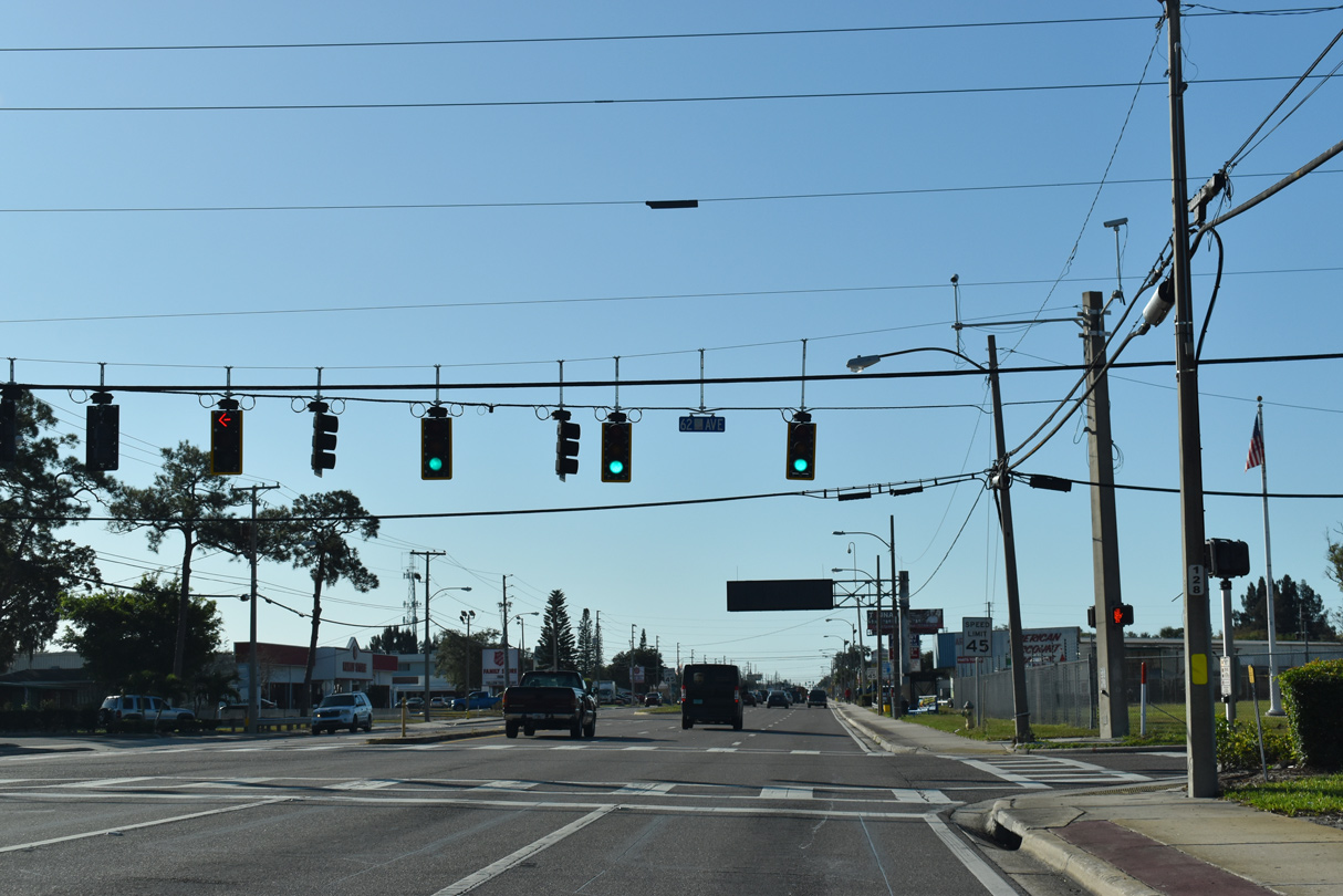
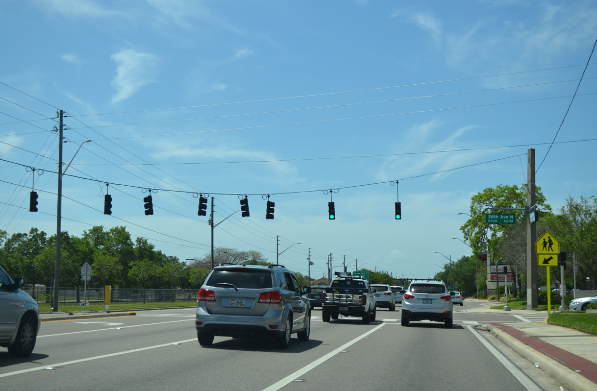
62nd Avenue N is a part of CR 216 east from SR 693 (66th Street N) to U.S. 92/SR 687 (4th Street N) at Fossil Park in St. Pete.
01/18/14
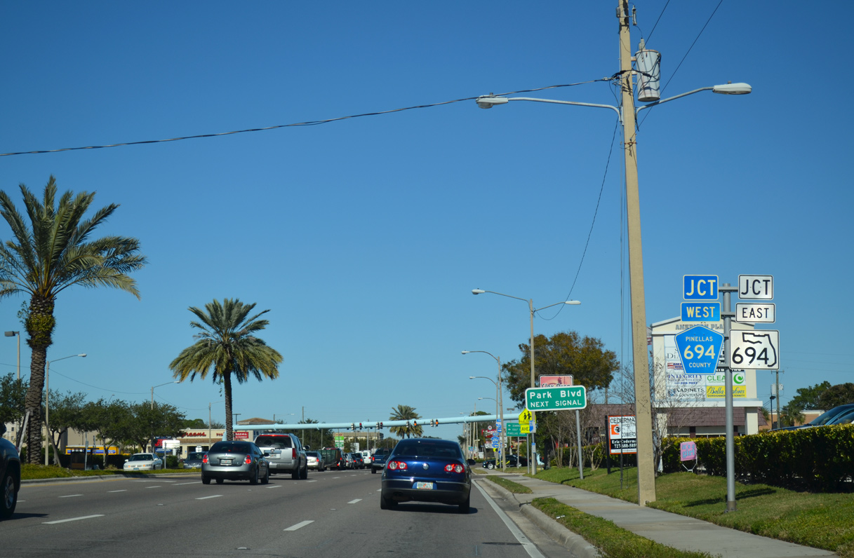
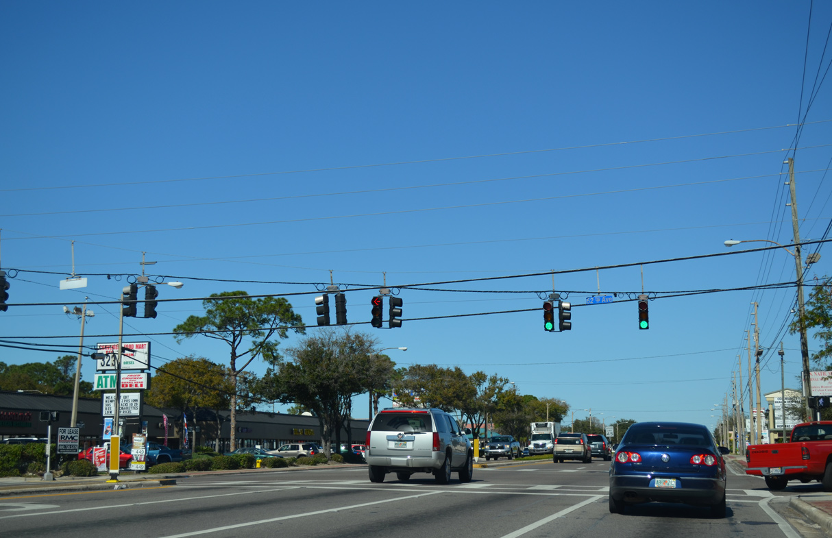
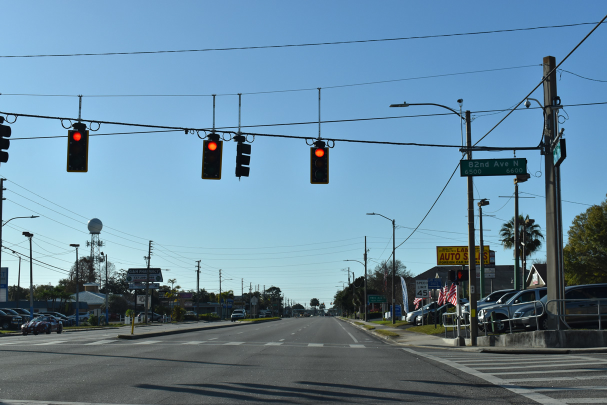
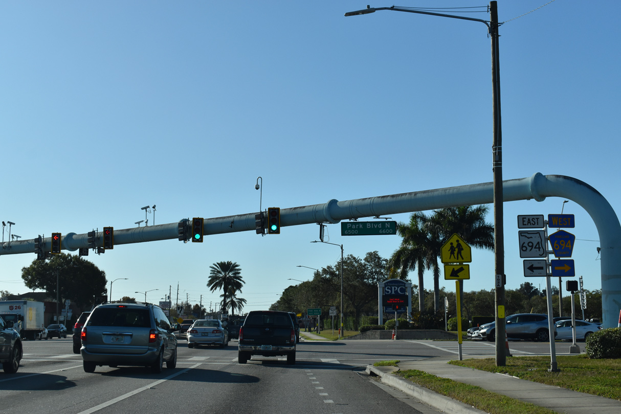
SR 693 (66th Street N) meets CR 694 west and SR 694 east at Park Boulevard within the city of Pinellas Park.
01/18/14
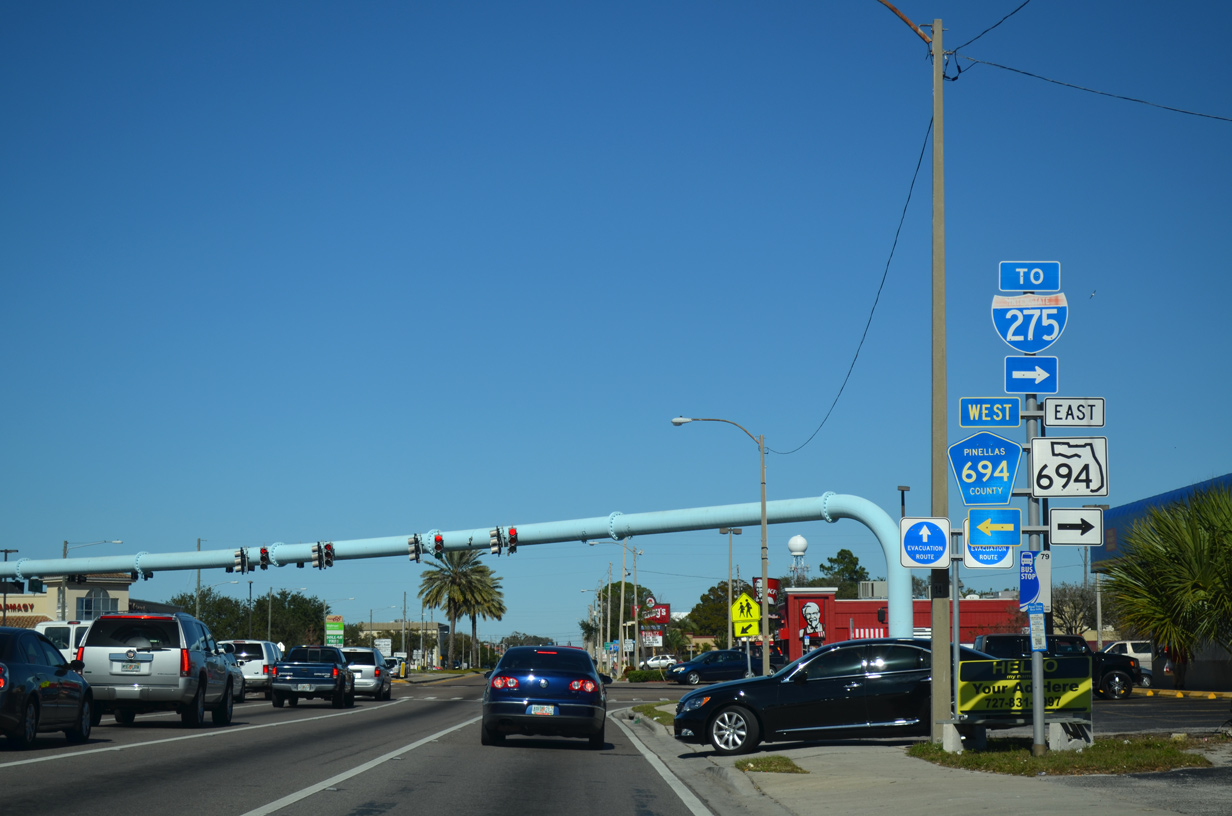
SR 694 follows Park Boulevard east 2.69 miles to a SPUI with U.S. 19 and Gandy Boulevard northeast 1.84 miles to Interstate 275.
01/18/14
08/22/15
08/22/15
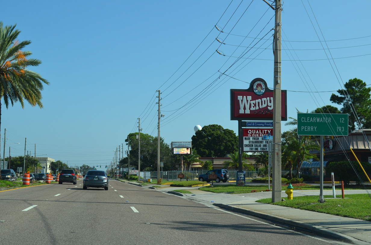
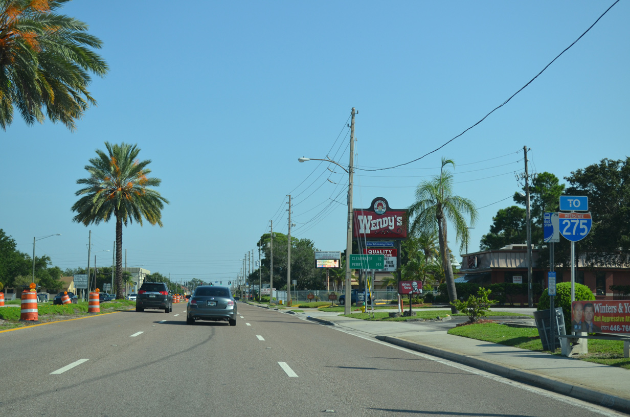
The distance sign posted north of SR 694/CR 694 (Park Boulevard) referencing Perry was replaced by December 2015 with a new assembly further north listing Tarpon Springs and New Port Richey. Located well to the northwest at the cross roads of U.S. 19/27/98, Perry alluded to 66th Street N as SR A19A.
08/22/15
08/22/15
08/22/15
08/22/15
08/22/15
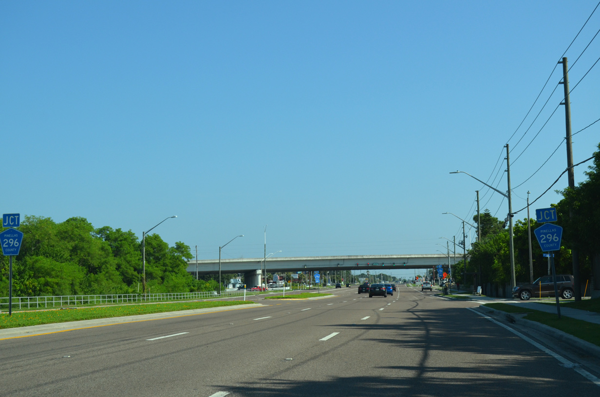
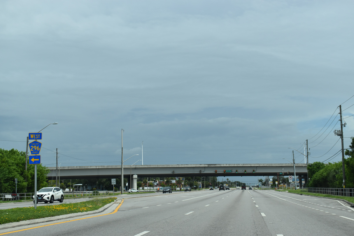
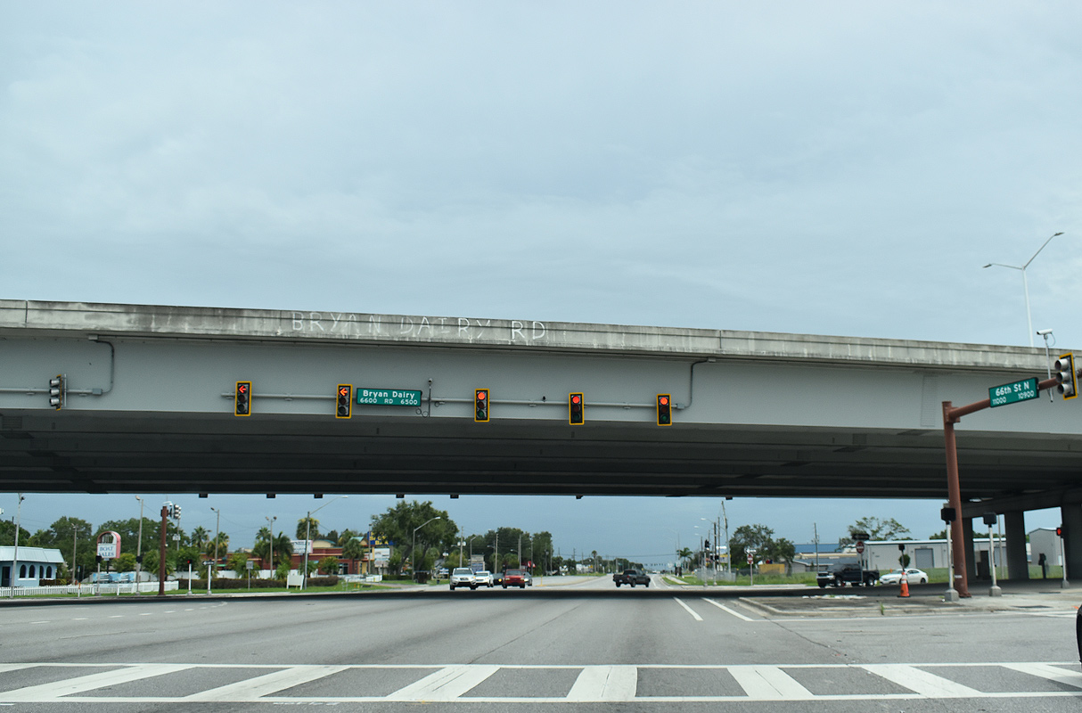
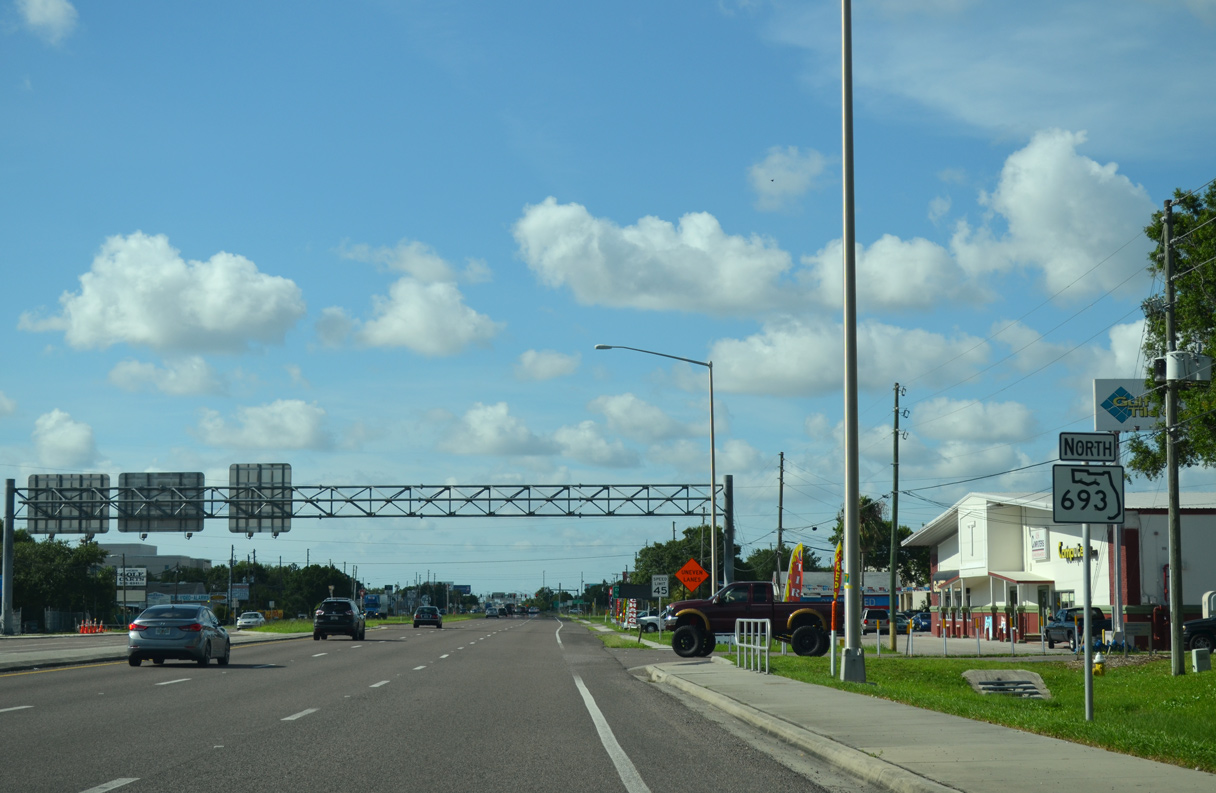
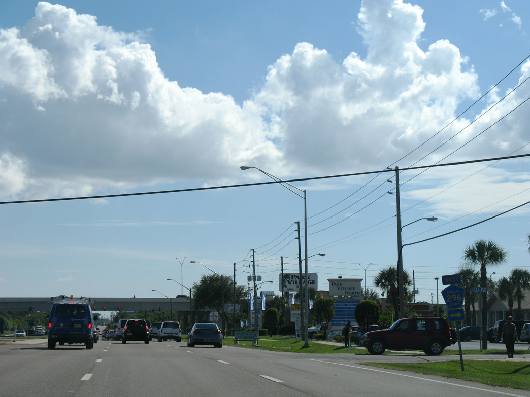
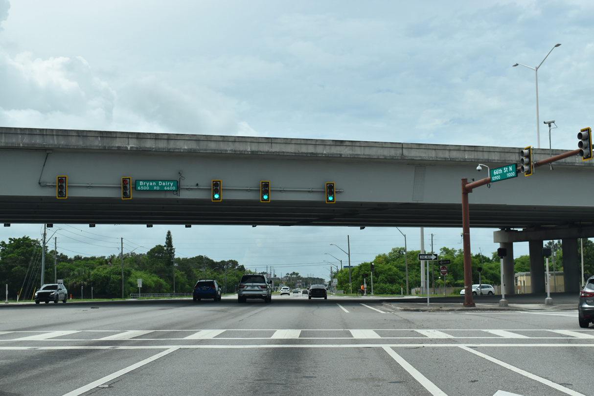
SR 693 (66th Street N) meets CR 296 (Bryan Dairy Road) at a SPUI beyond Cross Bayou Canal.
08/22/15
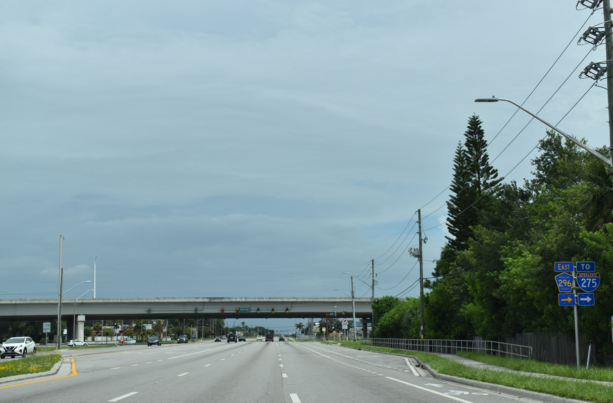
CR 296 (Bryan Dairy Road) is a controlled access arterial northeast to U.S. 19 and the Gateway Expressway (SR 690).
08/22/15
08/22/15
11/13/07
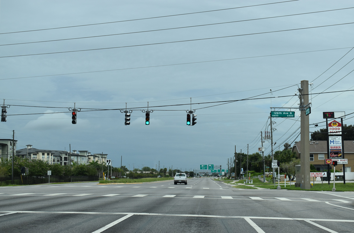
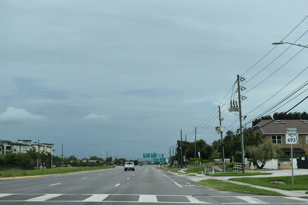
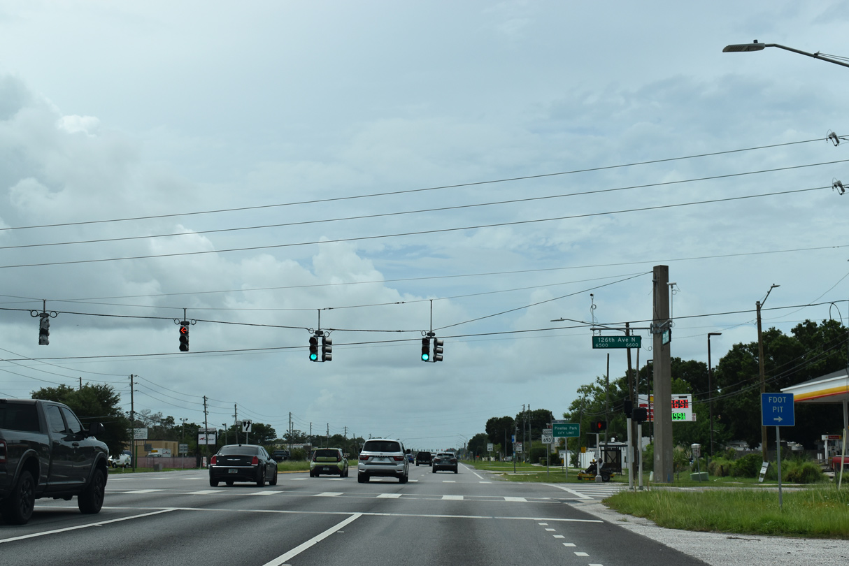
126th Avenue N east from SR 693 to U.S. 19 is unsigned Pinellas County Road 346.
11/13/07
11/13/07
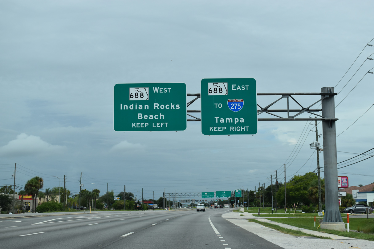
SR 688 is Ulmerton Road, a major arterial route crossing Pinellas County from Indian Rocks Beach to I-275 at the Howard Frankland Bridge.
11/13/07
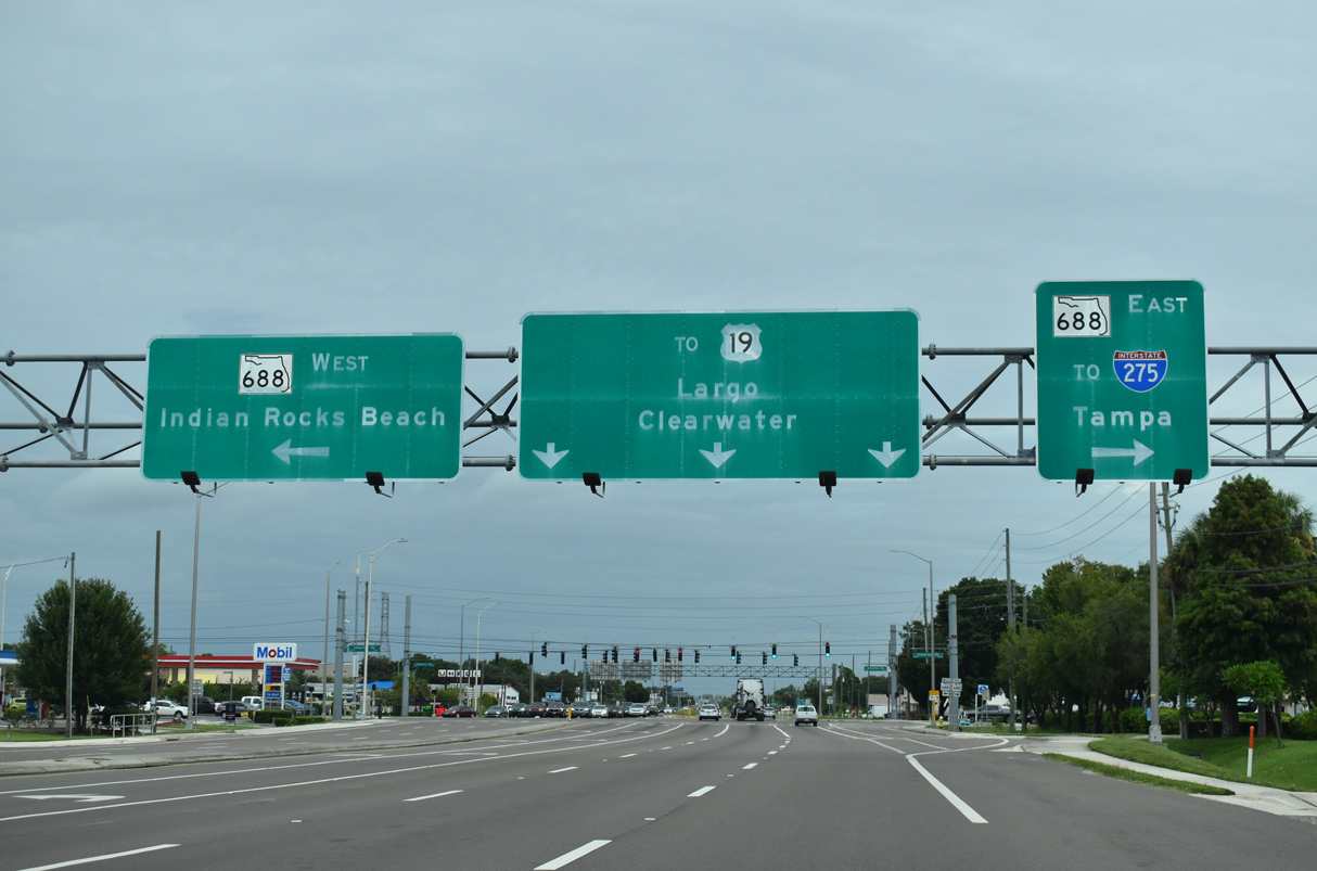
11/13/07

06/26/15
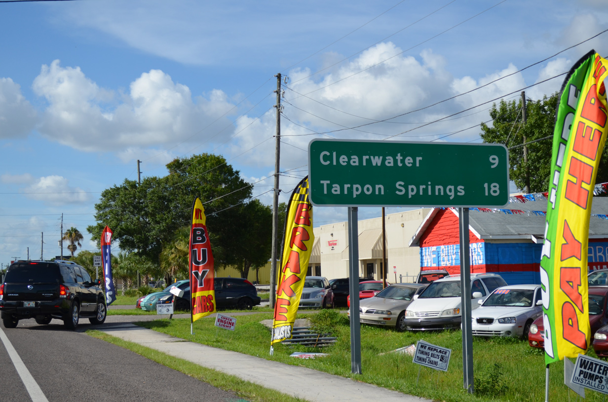
Perry was listed on a previous distance sign posted north of Ulmerton Road. It was replaced when SR 693 was expanded to six lanes.
11/13/07
06/26/15
Split by U.S. 19, 142nd Avenue N is unsigned Pinellas County Road 376 between CR 501 (Belcher Road) and 62nd Street N (CR 565).
06/26/15
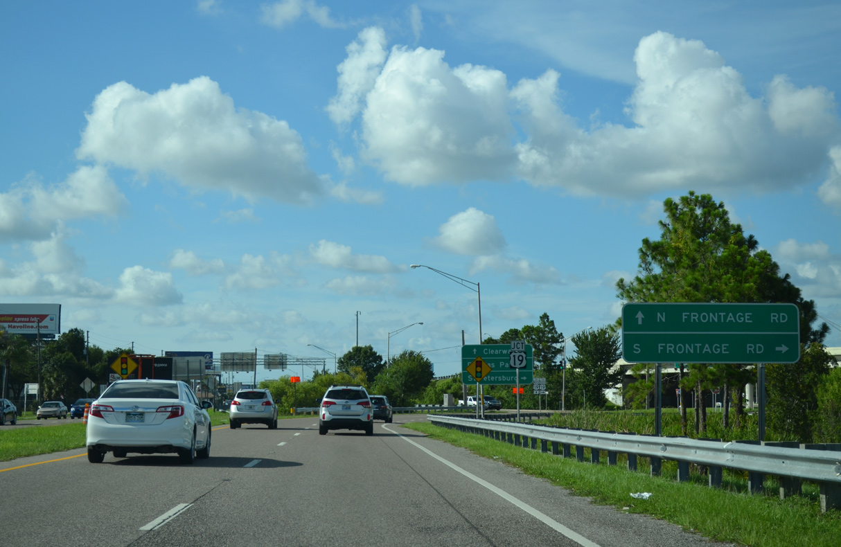
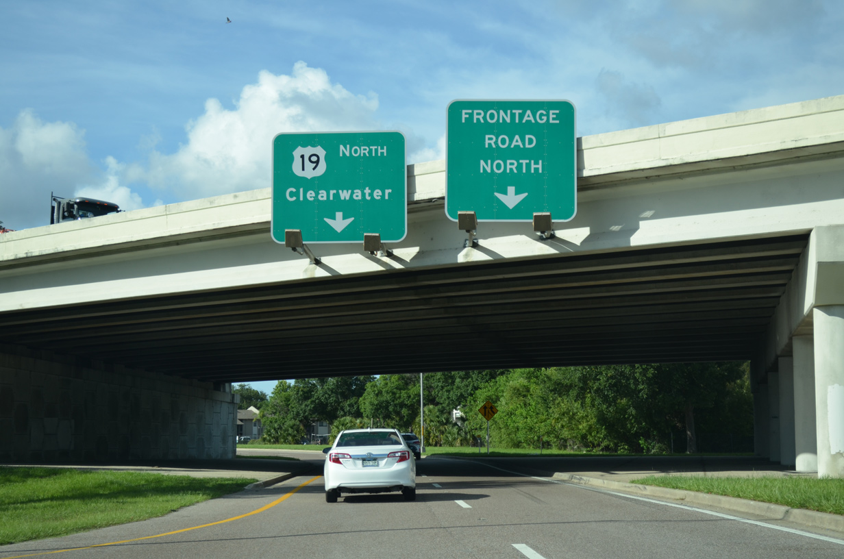
A frontage road system accompanies the freeway along U.S. 19 through Pinellas Park and Largo.
06/26/15
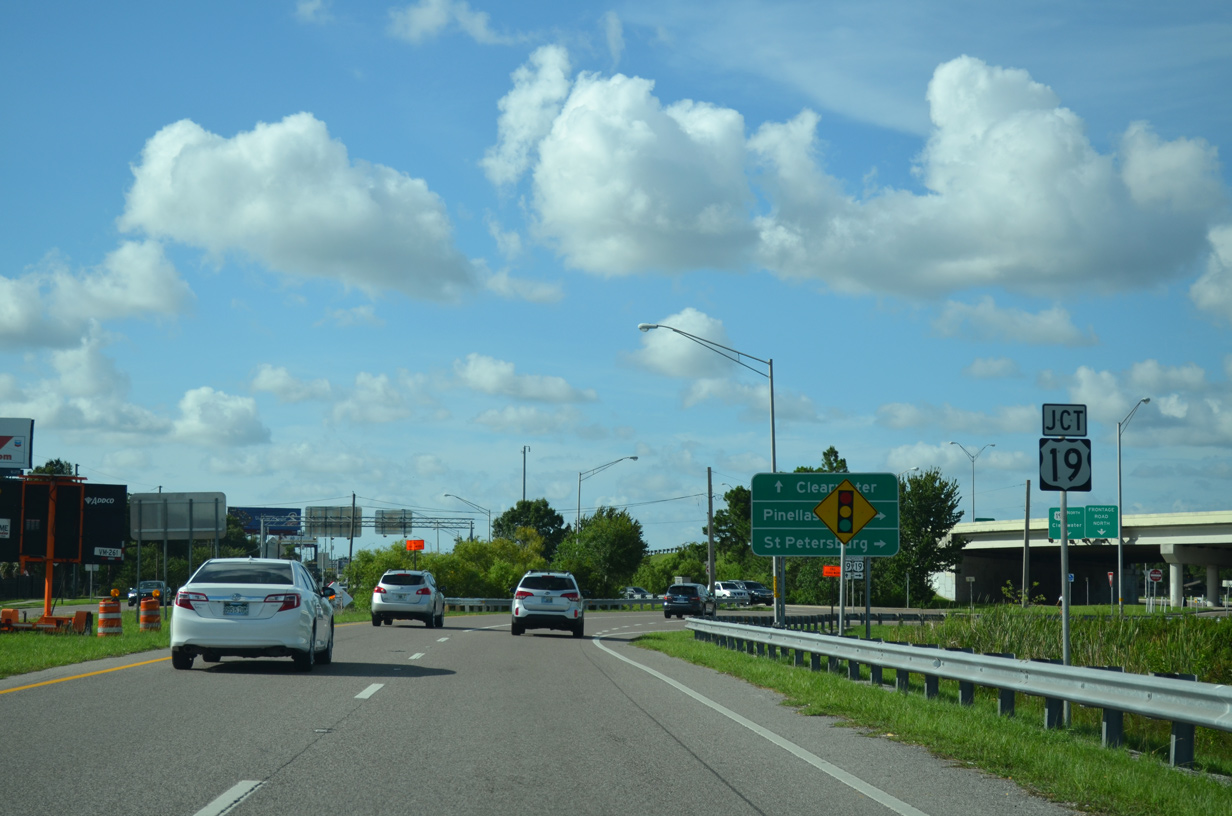
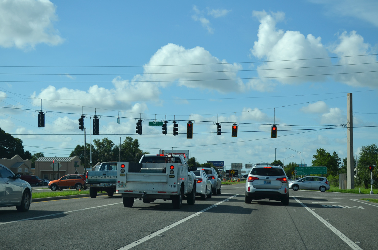
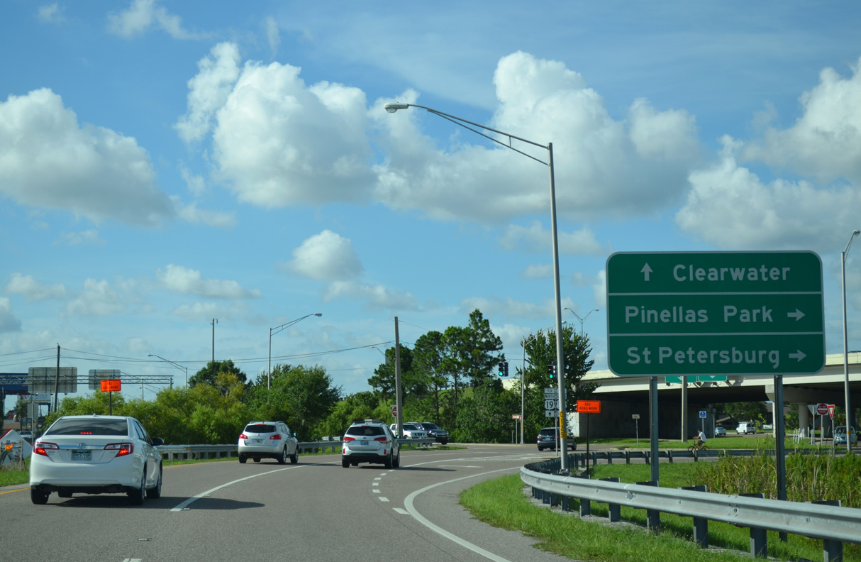
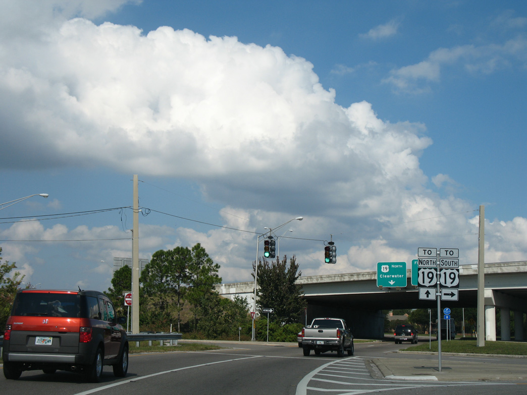
SR 693 concludes at U.S. 19 where 66th Street N shifts to the east side frontage road.
06/26/15
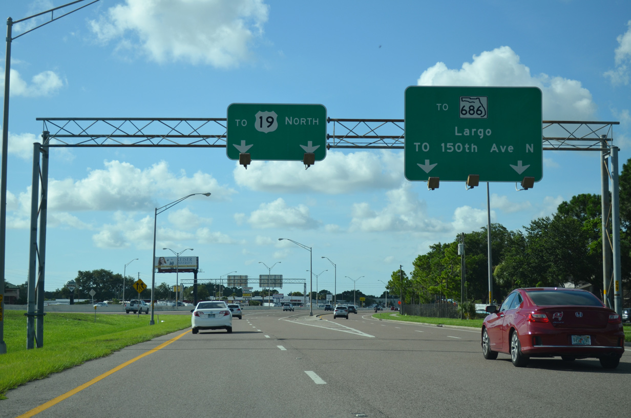
The freeway along U.S. 19 extends north from 52nd Street N in Pinellas Park to Evans Road north of SR 580 in Clearwater.
06/26/15
11/13/07
06/26/15
06/26/15
SR 693 (66th Street N) south at 126th Avenue N (unsigned CR 346 east).
10/22/07
10/22/07
10/22/07
CR 296 shifts southwest from 118th Avenue N along Bryan Dairy Road to a SPUI with SR 693 (66th Street N).
10/22/07
08/22/15

08/22/15

08/22/15
08/22/15
08/22/15
CR 694 runs east from Indian Shores to the city of Seminole and SR 693 (66th Street N) along Park Boulevard.
08/22/15
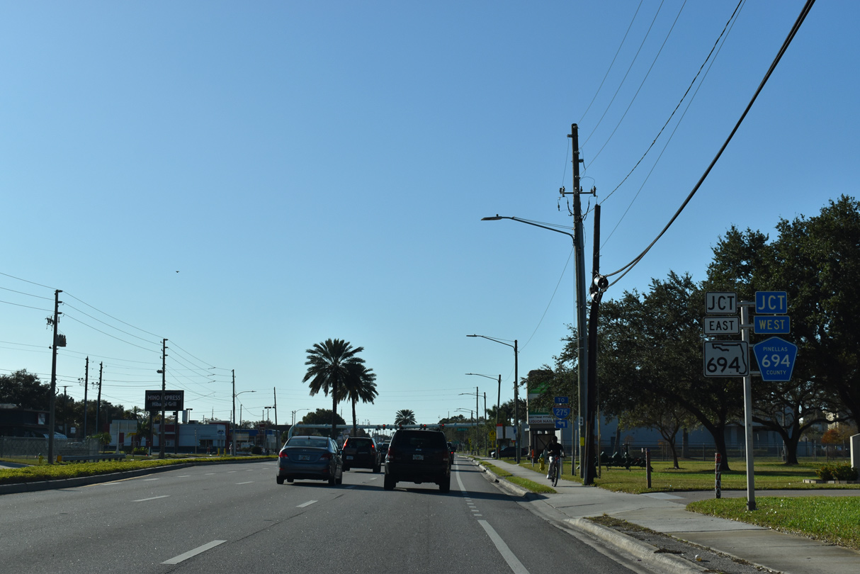
State Road 694 continues Park Boulevard east from CR 694 and 66th Street N across Pinellas Park. A 6.03 mile long route, SR 694 connects with U.S. 92 east to the Gandy Bridge.
08/22/15
Confirming marker for SR 693 south posted after Park Boulevard and ahead of 70th Avenue N.
04/17/16
70th Avenue N stems east from 71st Street N (CR 501) to U.S. 19 (34th Street N) through southern reaches of Pinellas Park.
04/17/16
62nd Avenue N follows at the succeeding traffic light on 66th Street N south. The arterial doubles as CR 216 as it straddles the Pinellas Park city line east to U.S. 19.
04/17/16
54th Avenue N (CR 202) originates at CR 1 (Park Street) off of Cross Bayou to the west. The arterial route heads east through Kenneth City and unincorporated Lealman before meeting Interstate 275 at the St. Pete city line.
04/17/16
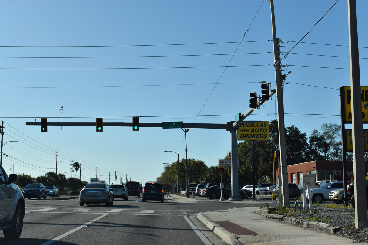
46th Avenue N is unsigned Pinellas County Road 192 west to Park Street and east to 37th Street N.
04/17/16
04/17/16
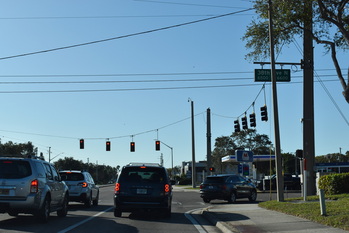
38th Avenue N runs across St. Petersburg from U.S. 19 ALT (Tyrone Boulevard) at the Jungle Terrace neighborhood to U.S. 92/SR 687 (4th Street N).
04/17/16
04/17/16
04/17/16
03/24/07
04/17/16
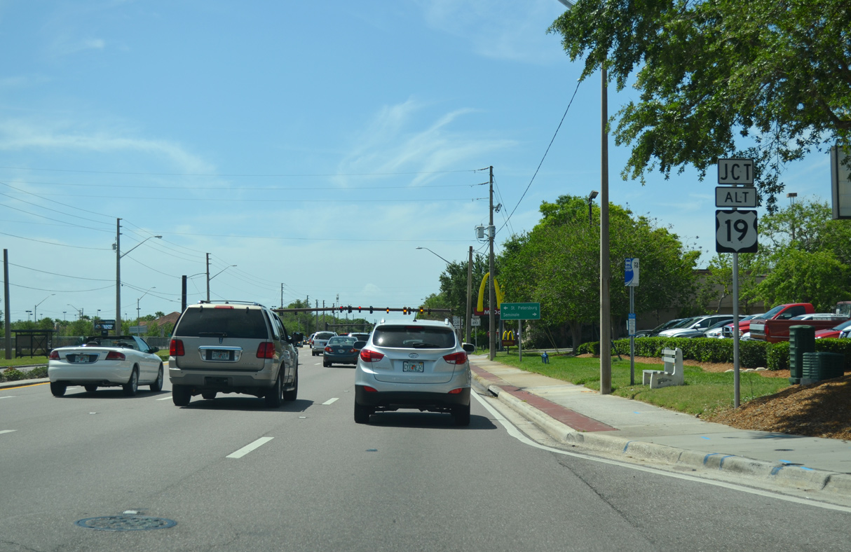
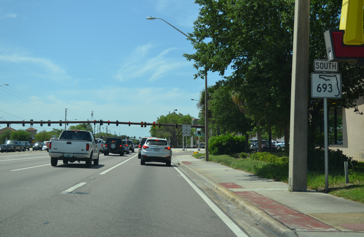
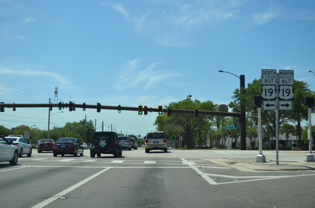
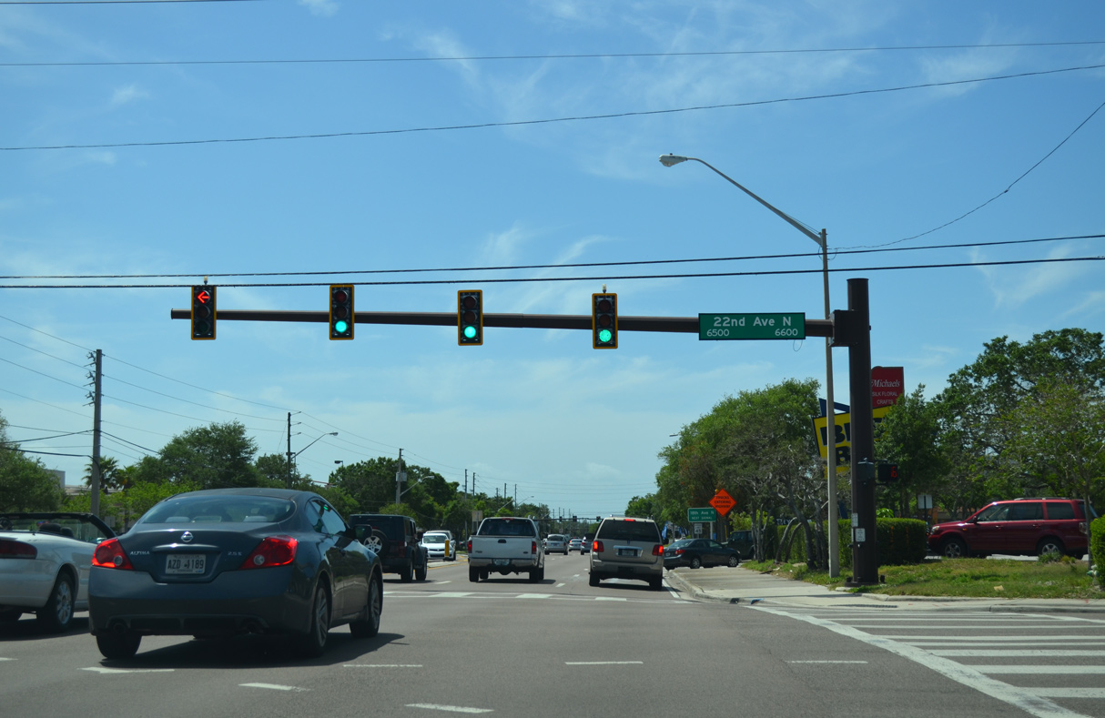
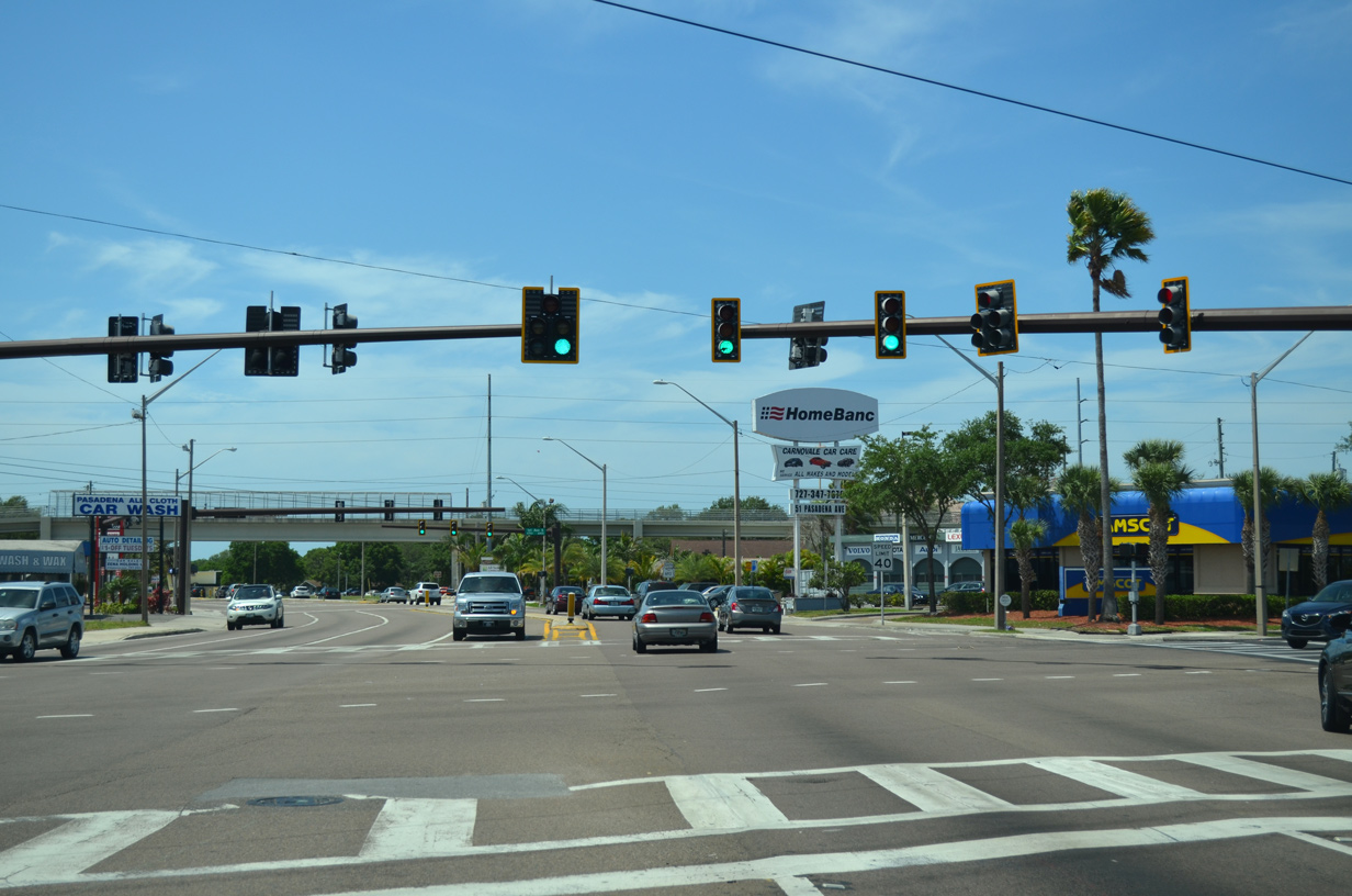
SR 693 (66th Street N) converges with U.S. 19 ALT (Tyone Boulevard) and 22nd Avenue N in a retail area anchored by Tyrone Square mall.
04/17/16
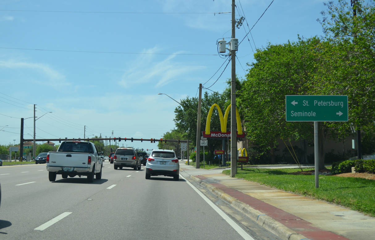
U.S. 19 ALT angles northwest to Bay Pines and Seminole and southeast to 5th Avenue N in St. Petersburg.
04/17/16
04/17/16
04/17/16
04/17/16
04/17/16
04/17/16
04/17/16
04/17/16
04/17/16
04/17/16
04/17/16
04/17/16
04/17/16
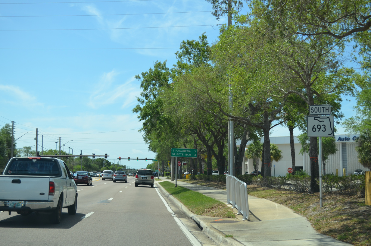
SR 693 (Pasadena Avenue) south at Central Avenue. Central Avenue (CR 150) heads west to Treasure Island and east toward Downtown St. Petersburg.
04/17/16
03/24/07
03/24/07
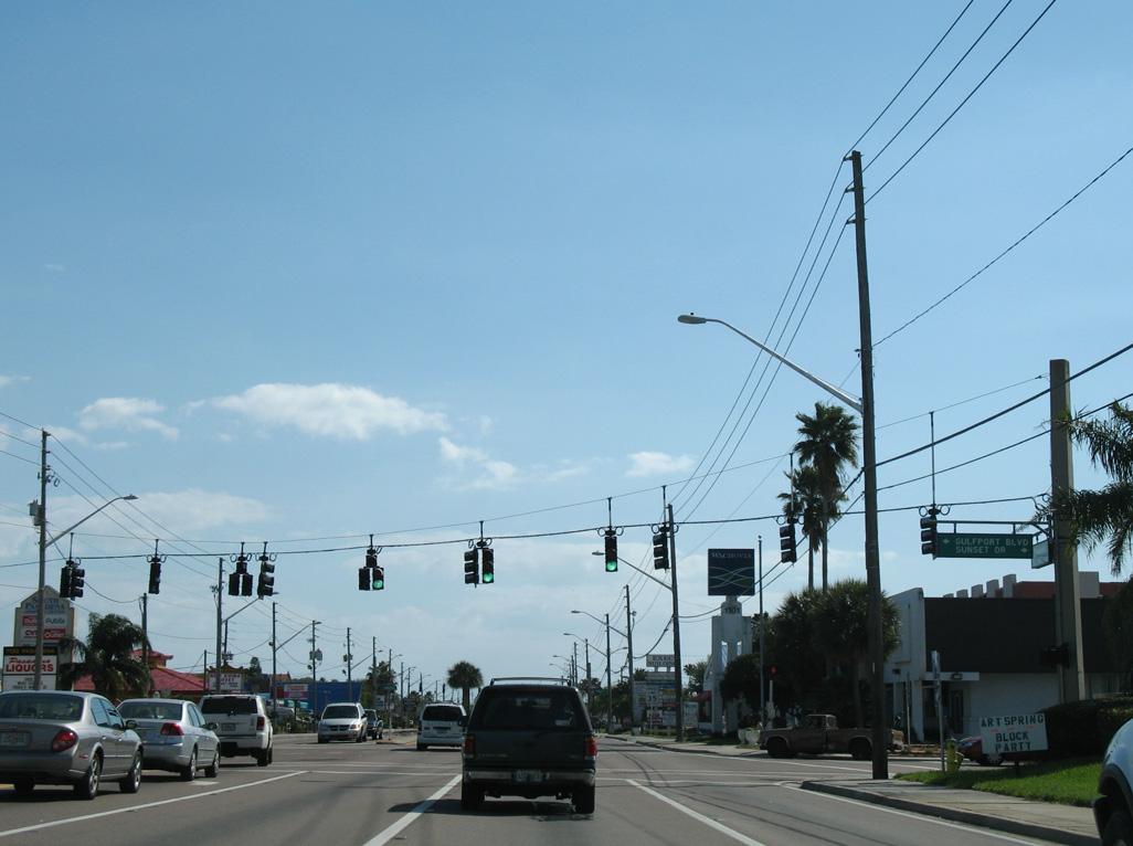
Gulfport Boulevard east from SR 693 (Pasadena Avenue) and Sunset Drive in South Pasadena is CR 138 east to Gulfport and U.S. 19 (34th Street S) in St. Pete.
03/24/07

03/24/07
03/24/07
03/24/07
03/24/07
03/24/07
03/24/07
03/24/07
03/24/07
03/24/07
03/24/07
03/24/07
03/24/07
03/24/07
- "66th St. Ribbon-Cutting Today." St. Petersburg Times (FL), June 6, 1969.
Connect with:
U.S. 19
U.S. 19 Alternate
State Road 694 / County Road 694
State Road 699 - Gulf Boulevard
Pinellas County Road 184 - 38th Avenue N
Pinellas County Road 202 - 54th Avenue N
Pinellas County Road 216 - 62nd Avenue N
County Road 296 - Bryan Dairy Road
Page Updated 03-29-2021.