|
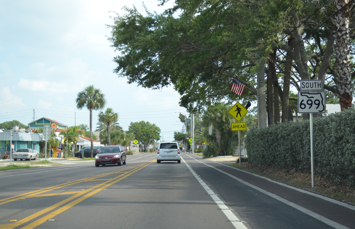
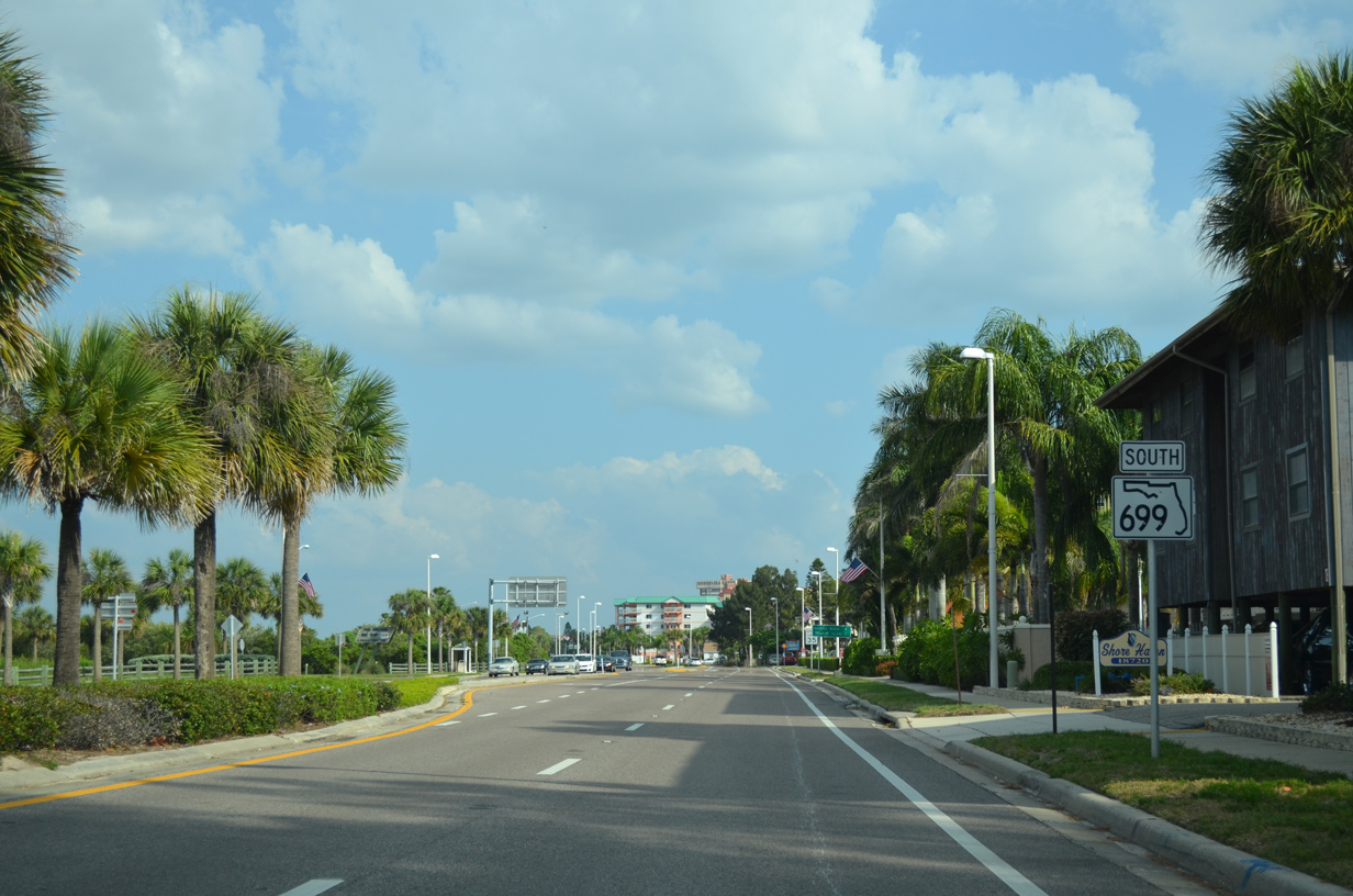
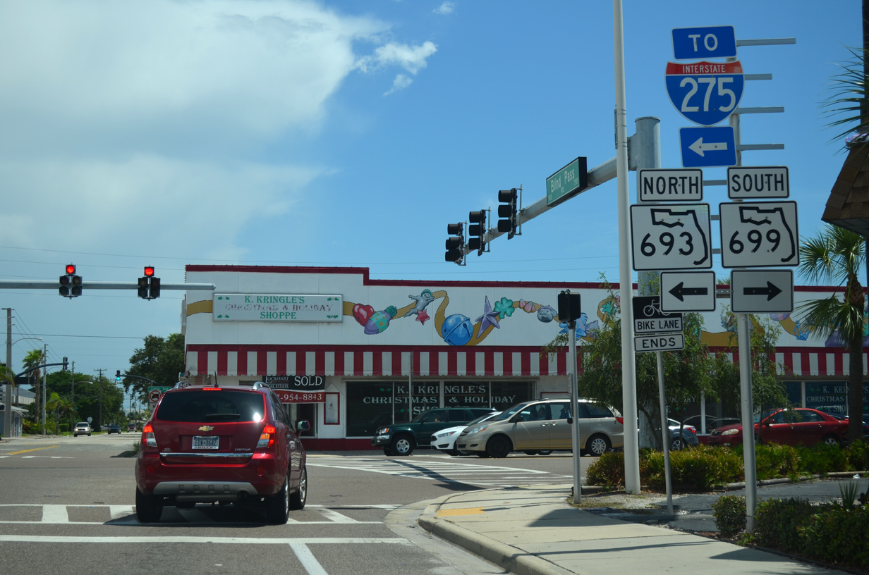
| Heading south from SR 688 (5th Avenue), Gulf Boulevard becomes SR 699 from the city of Indian Rocks Beach to Indian Shores. Pictured here is the first reassurance marker. 05/12/14 |
|
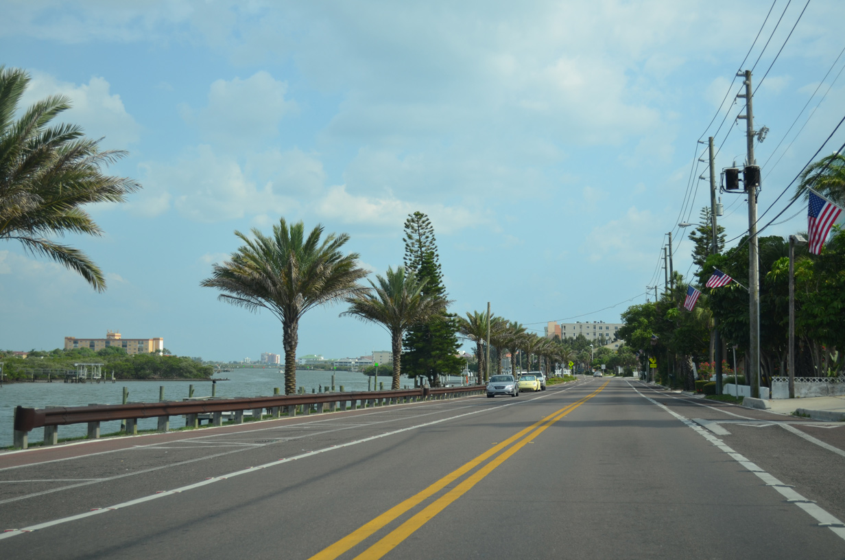
| SR 699 generally travels out of view from the adjacent Gulf of Mexico or Intracoastal Waterway. An exception to this occurs through south Indian Rocks Beach, where Sand Key narrows with Gulf Boulevard along the west shore of The Narrows. 05/12/14 |
|
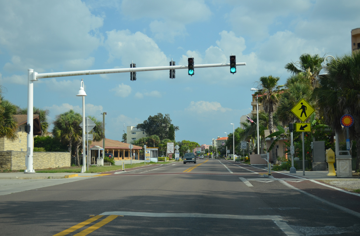
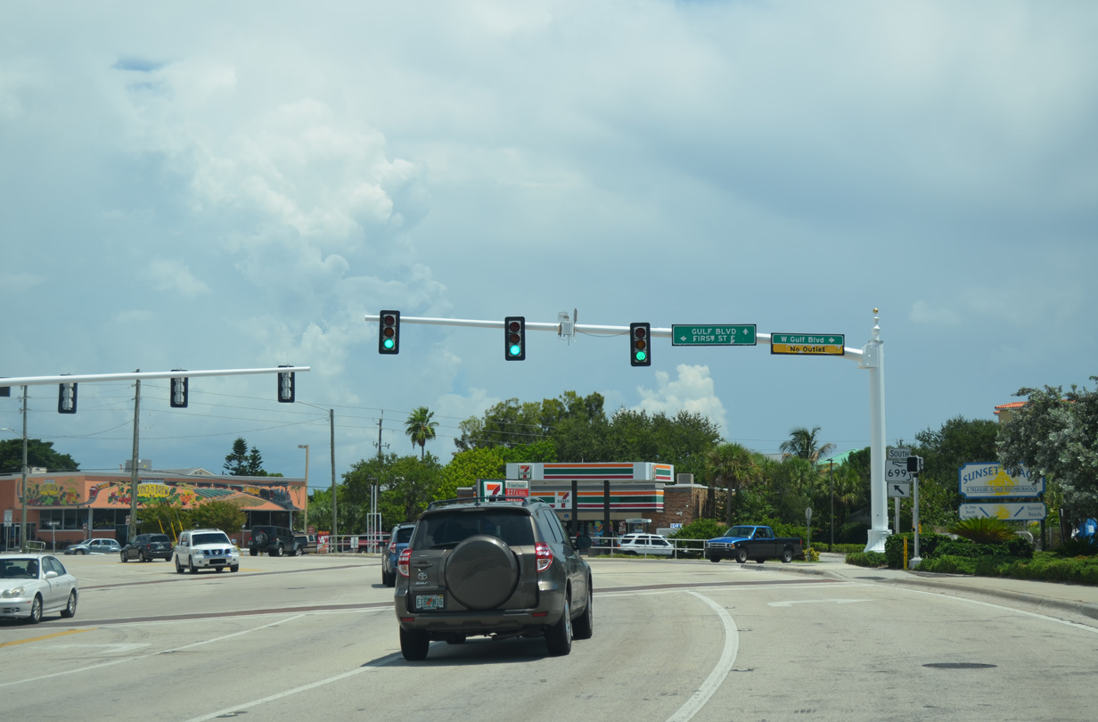
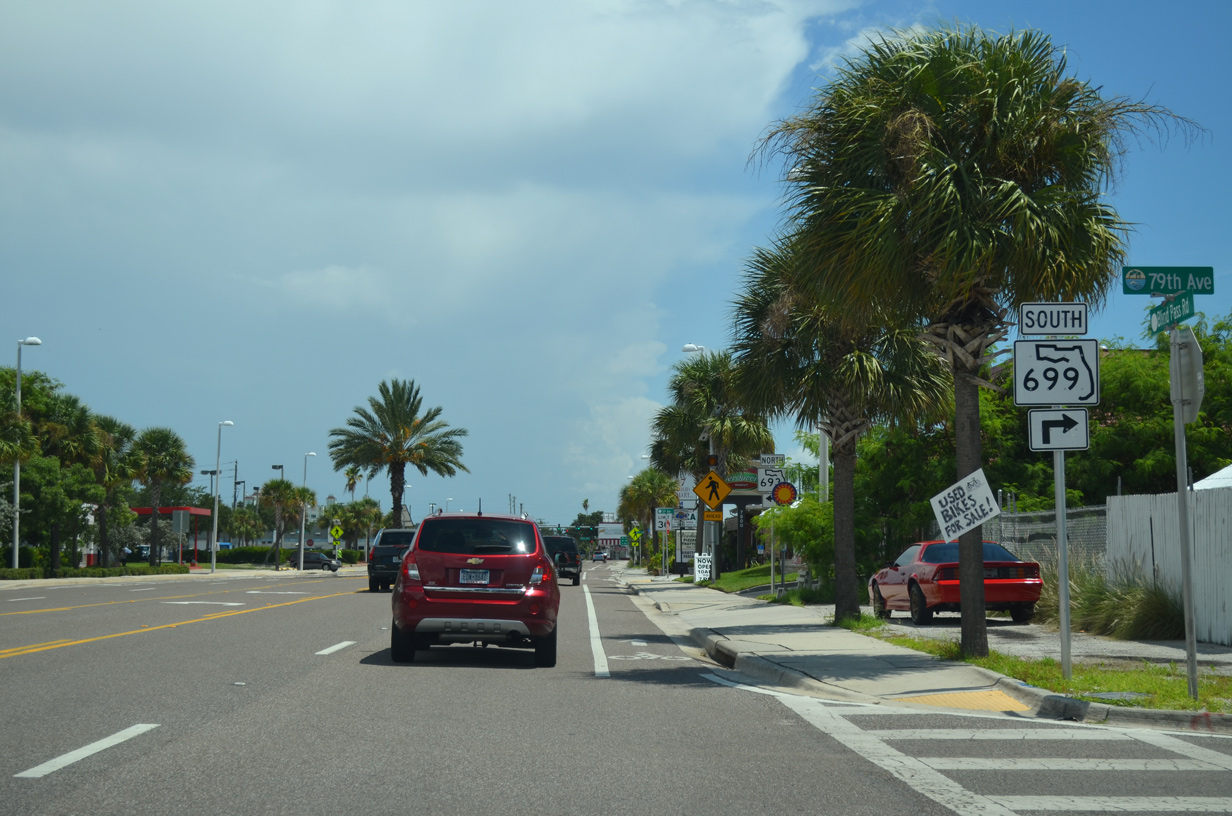
| Now within the city of Indian Shores, Gulf Boulevard south reaches a pedestrian signal at 196th Avenue and Tiki Gardens County Park. 05/12/14 |
|
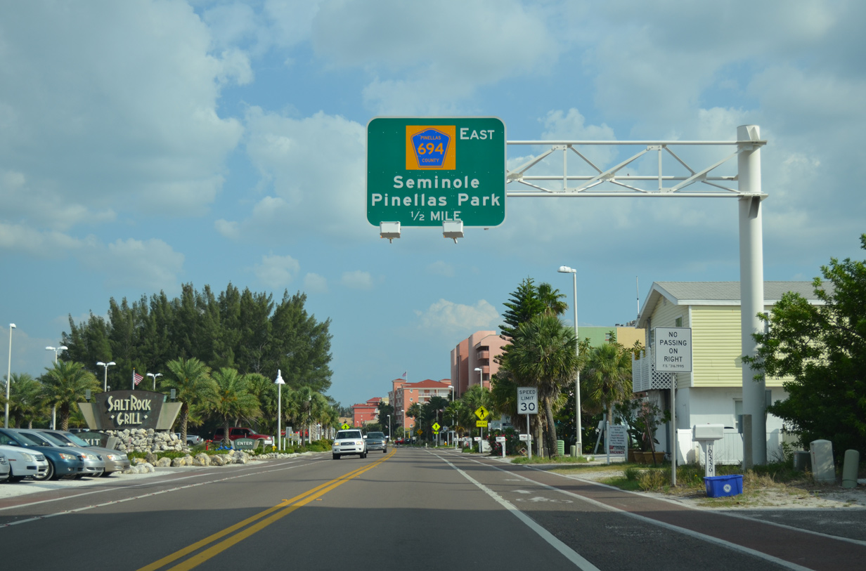
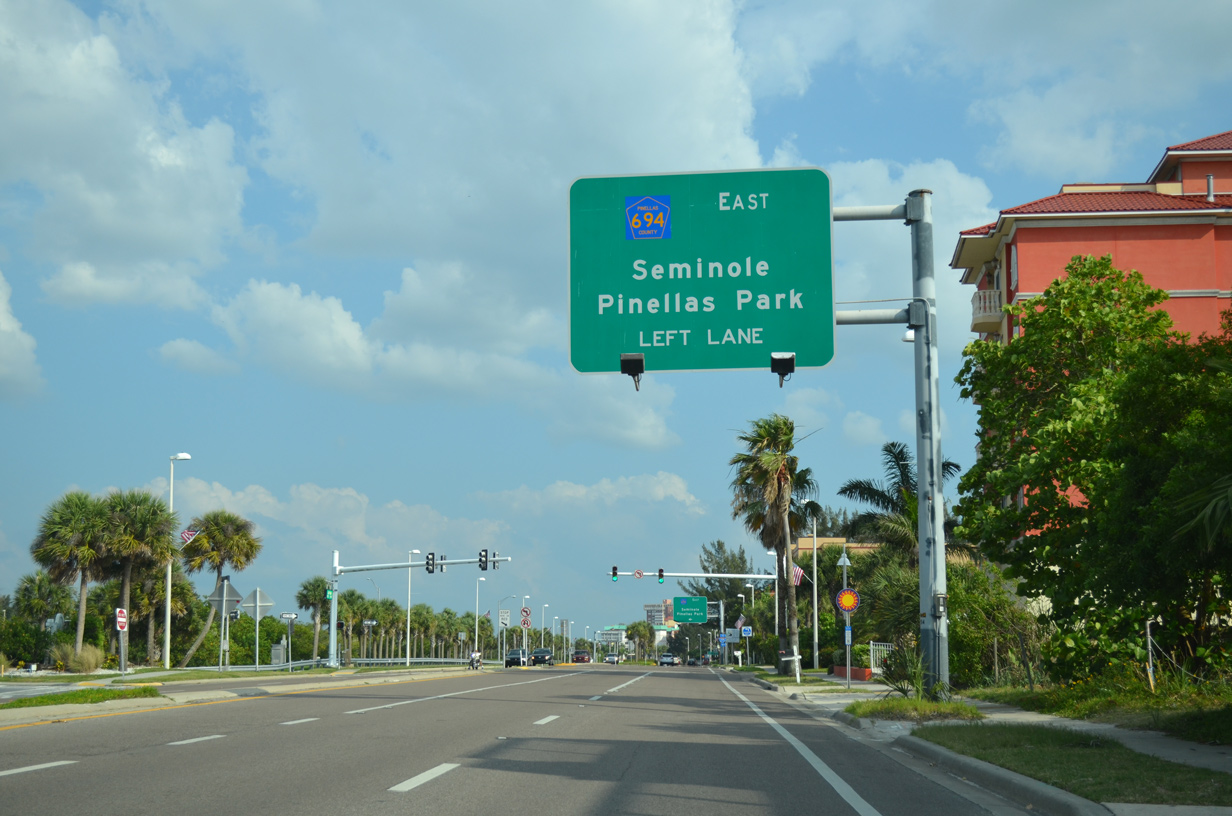
| Forthcoming County Road 694 (Park Boulevard) provides the first connection to the Pinellas County mainland from Sand Key in one half mile. 05/12/14 |
|
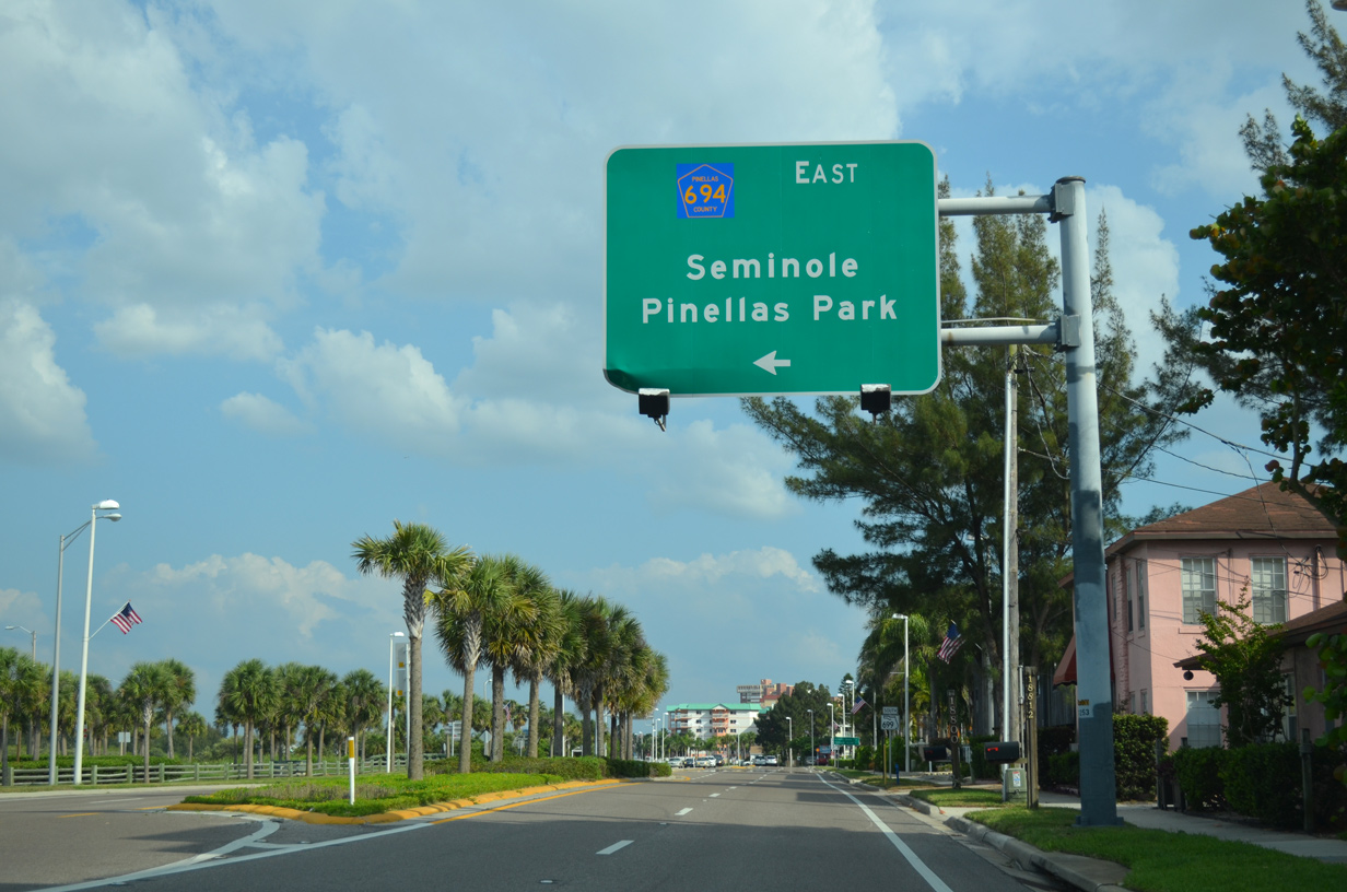
| Pinellas County Road 694 spans the adjacent Intracoastal Waterway en route to Oakhurst and the city of Seminole. The county road becomes State Road 694 east of 66th Street North (SR 693) in the city of Pinellas Park. 05/12/14 |
|
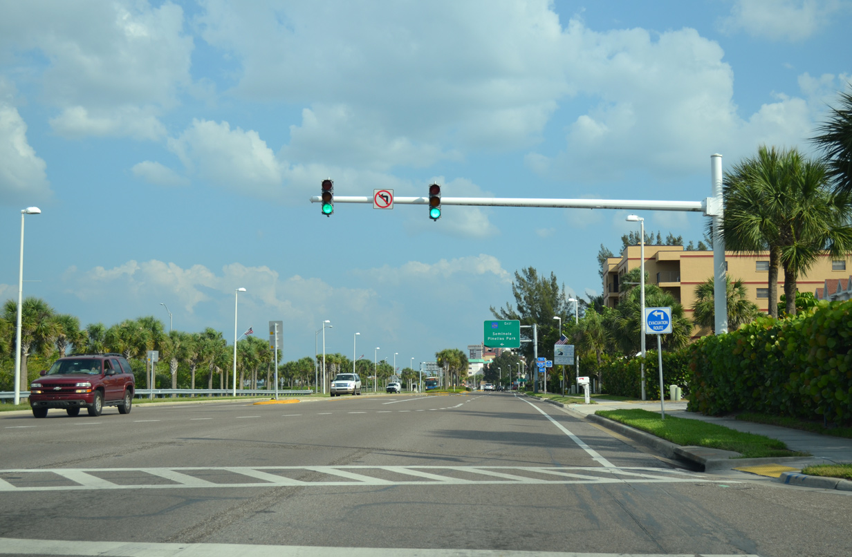
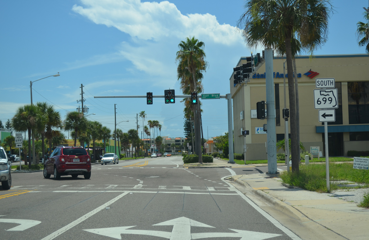
| A split intersection connects the west end of CR 694 with SR 699 (Gulf Boulevard) in Indian Shores. 05/12/14 |
|
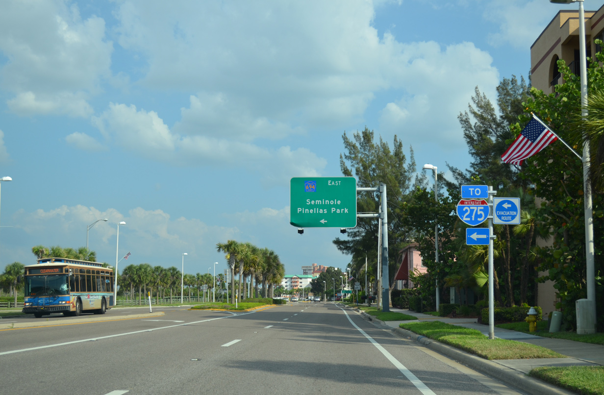
| CR 694 and SR 694 provide a direct route to Interstate 275 via Park and Gandy Boulevard east to St. Petersburg. 05/12/14 |
|
| Collectively CR 694 and SR 694 travel 13 miles across Pinellas County between SR 699 and U.S. 92 (4th Street North) in north St. Petersburg. The adjacent drawbridge across The Narrows opened in 1981. Tolls were collected on the span until 1991. 05/12/14 |
|
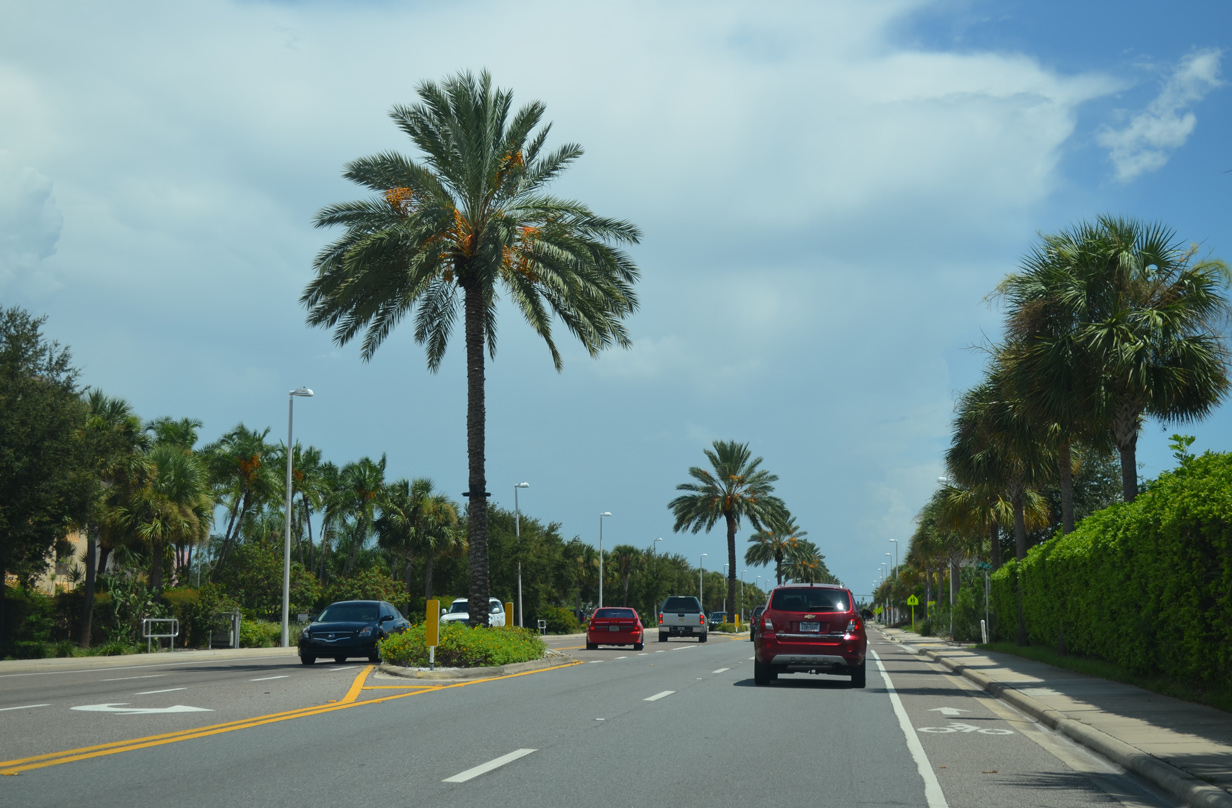
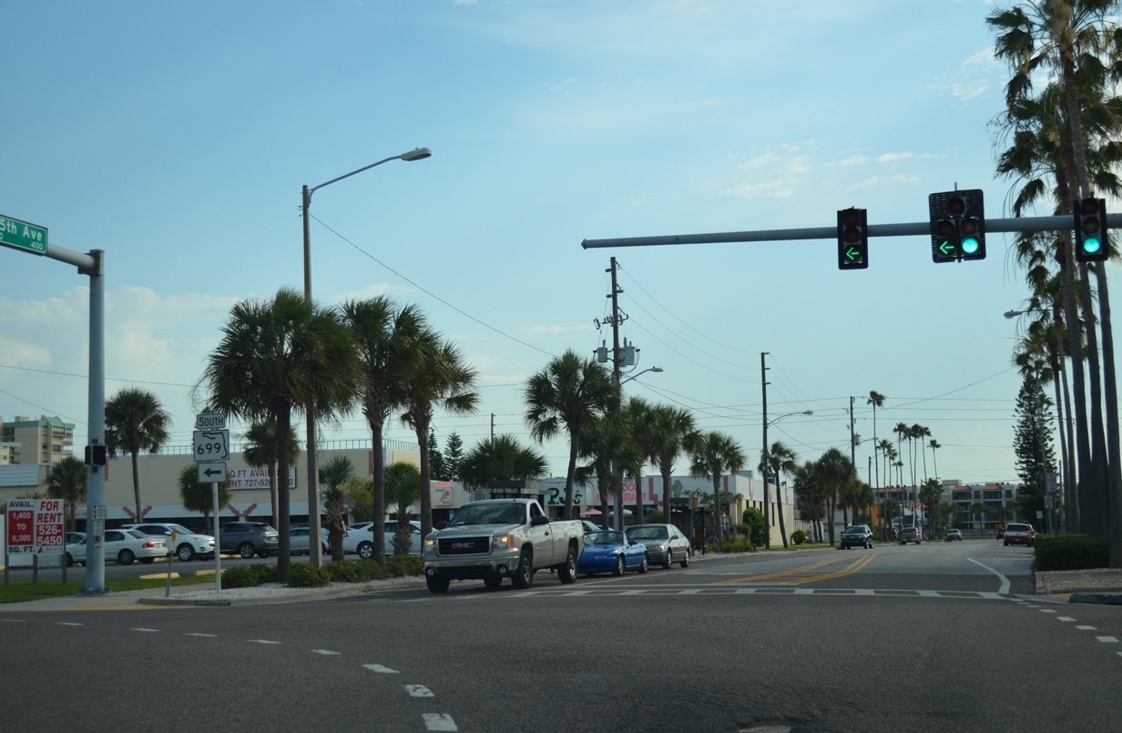
| The remainder of SR 699 leading south from CR 694 in Indian Shores carries at least four overall lanes. 05/12/14 |
|
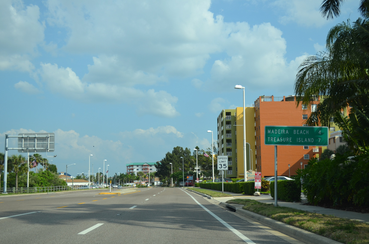
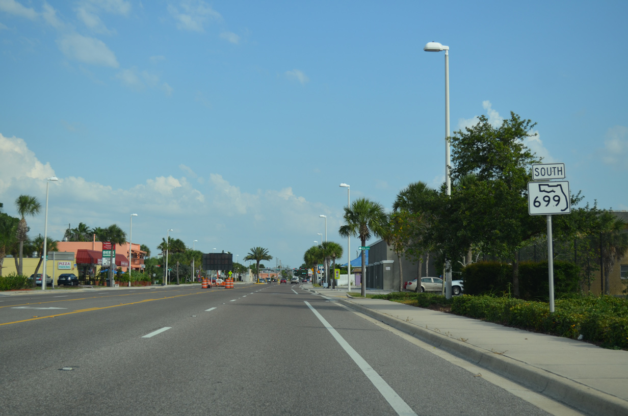
| Southbound distance sign posted four miles ahead of Madeira Beach and seven miles out from Treasure Island. 05/12/14 |
|
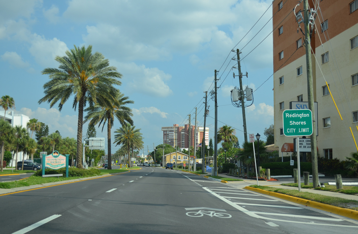
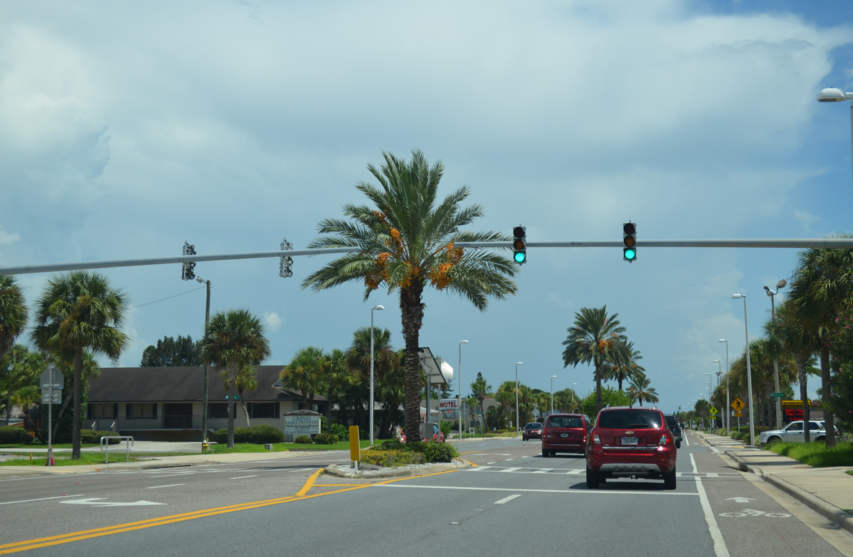
| SR 699 (Gulf Boulevard) crosses the Redington Shores town line at 183rd Terrace. 05/12/14 |
|
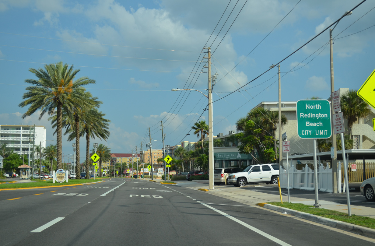
| A short distance further south, drivers along Gulf Boulevard cross into the town of North Redington Beach. The municipality entails just one square mile along SR 699 between 173rd and 164th Avenues. 05/12/14 |
|
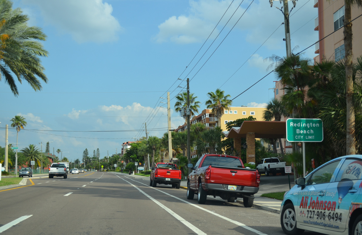
| Redington Beach is the next town along SR 699 (Gulf Boulevard) south. Town hall resides just beyond the boundary with North Redington Beach on 164th Avenue. 05/12/14 |
|
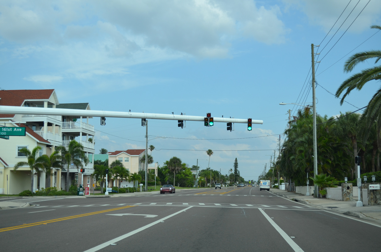
| A traffic light governs movements between SR 699 and 161st Avenue. 161st Avenue spurs east onto a causeway linking residential streets on Boca Ciega Bay. 05/12/14 |
|
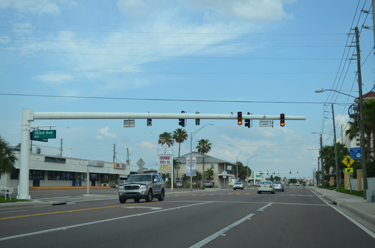
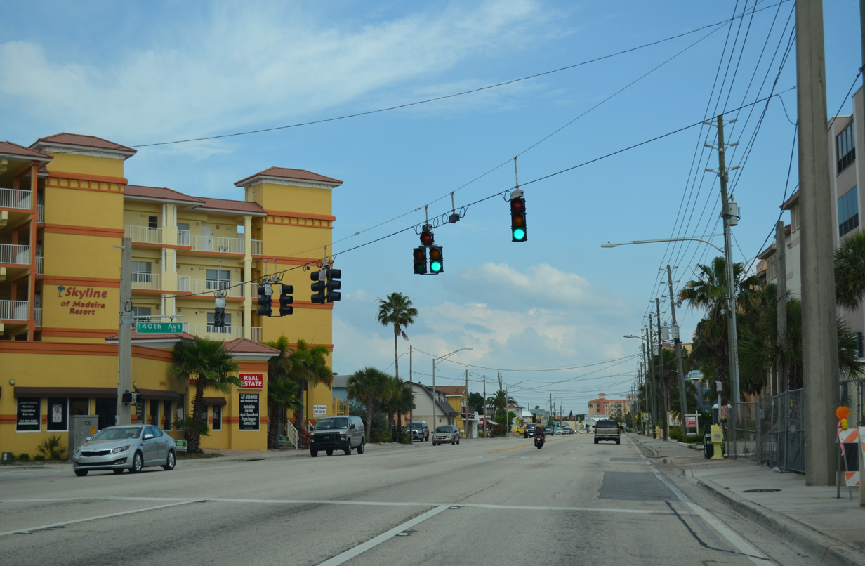
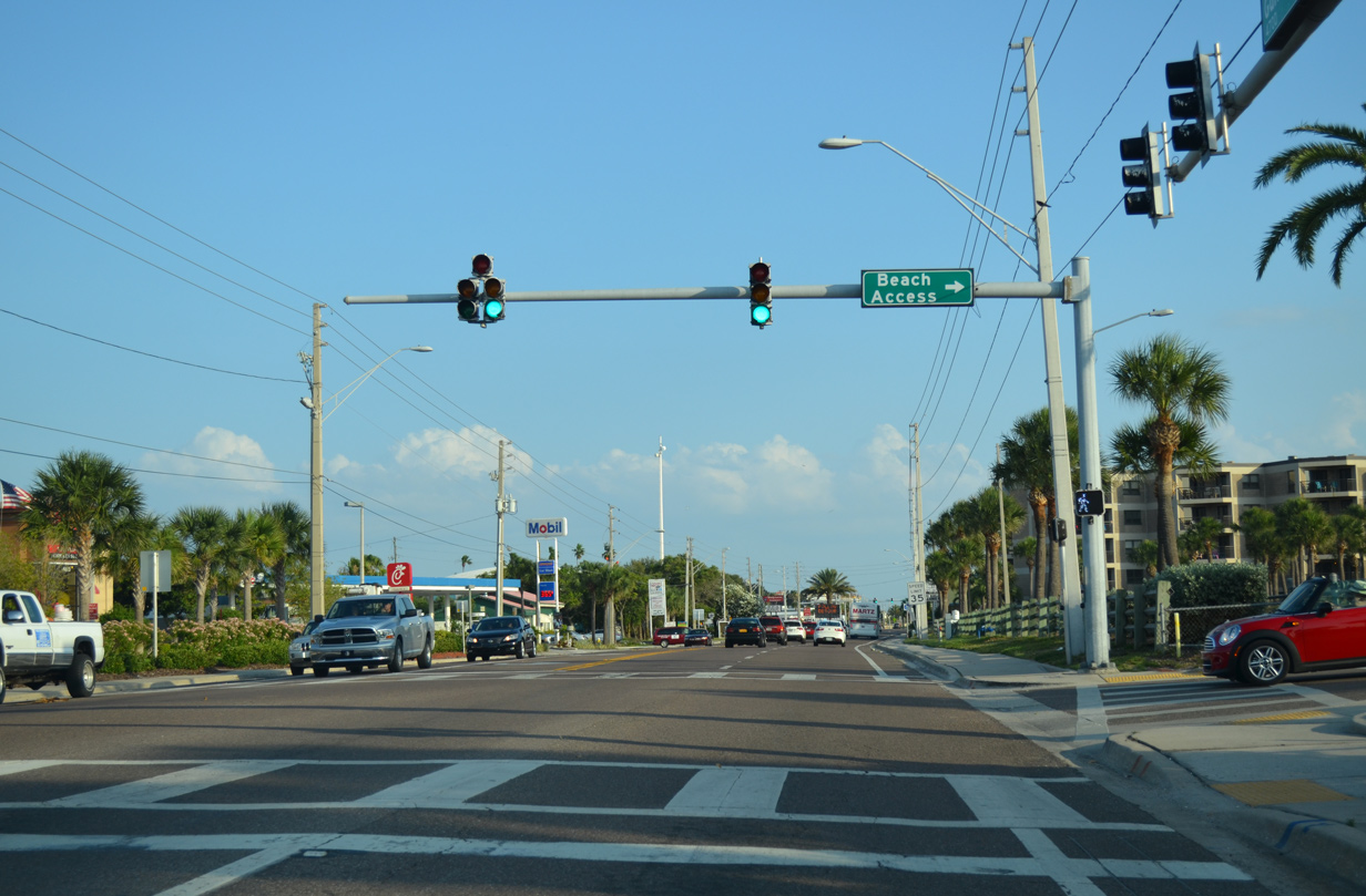
| A strip mall and conventional shopping center line the east side of SR 699 as Gulf Boulevard enters the city of Madeira Beach. 153rd Avenue intersects the route at a fire signal near Fire Rescue Station Number 25 and City Hall. 05/12/14 |
|
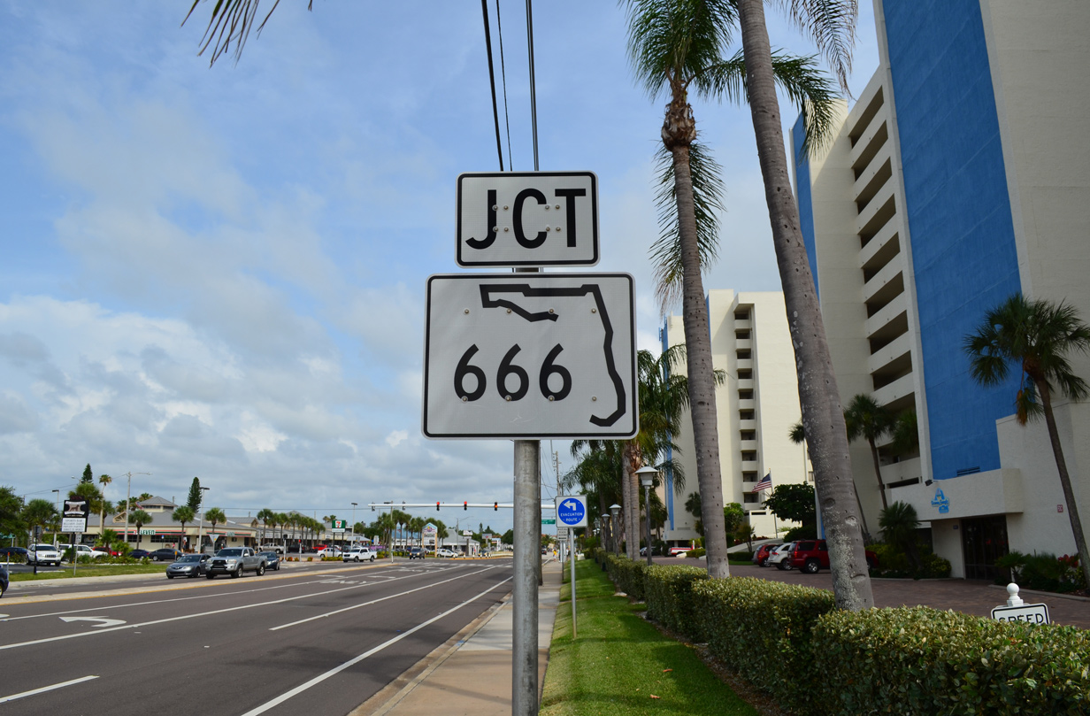
| Madeira Way intersects SR 699 at the adjacent traffic light. The commercial boulevard comprises a short connector to SR 666 (150th Avenue). 05/12/14 |
|
| SR 666 (150th Avenue) joins Madeira Beach with U.S. 19 Alternate (Seminole Boulevard north / Bay Pines Boulevard east) at Bay Pines in an unincorporated section of Pinellas County. 06/14/14 |
|
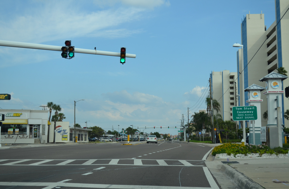
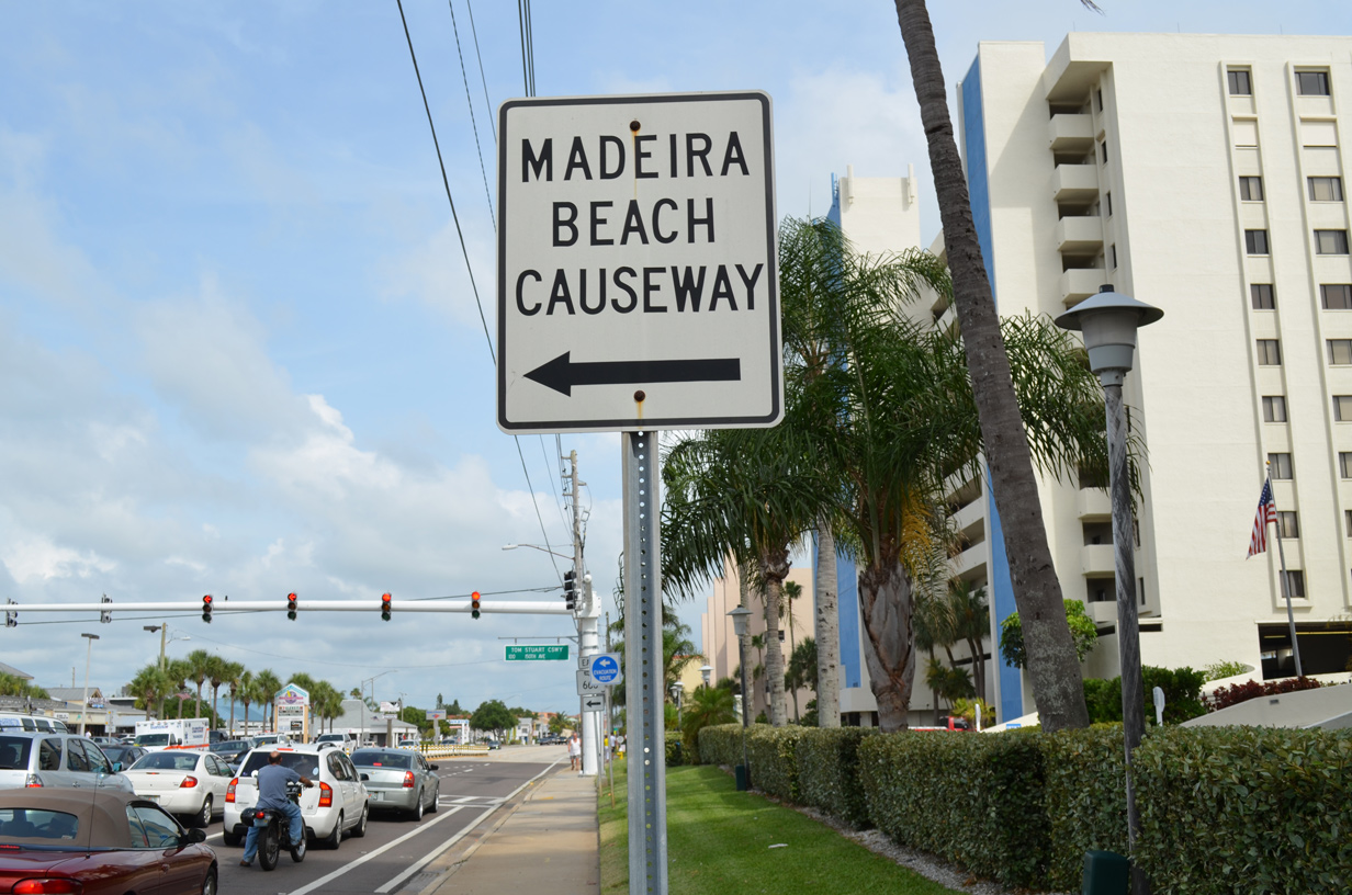
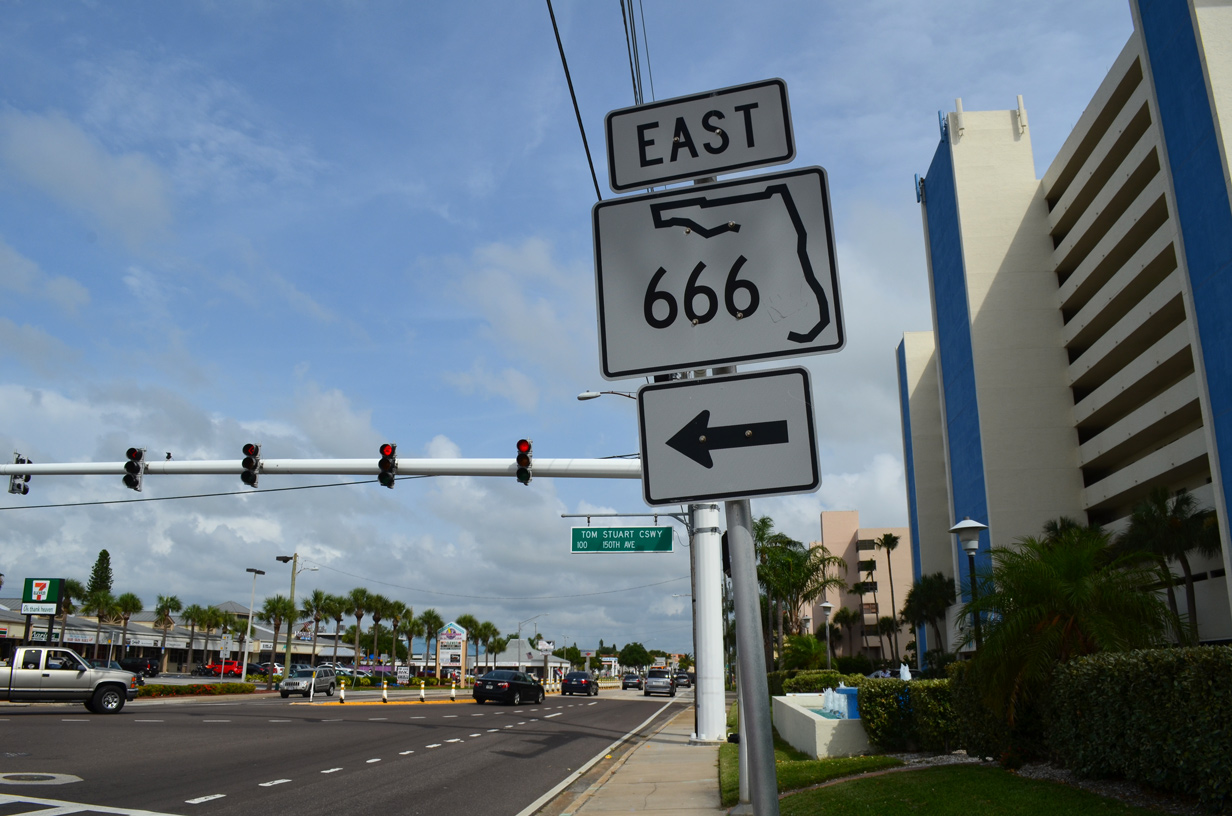
| SR 666 begins and follows 150th Avenue to Madeira Beach (Tom Stuart) Causeway, a draw bridge linking Madeira Beach with Duhme Road (CR 321). Madeira Beach Causeway was originally an east-west branch of SR 699. 06/14/14 |
|
| The 1.39 mile route of SR 666 east ends at a three-wye interchange with U.S. 19 Alternate. The US route leads motorists north into the city of Seminole and south to St. Petersburg. 06/14/14 |
|
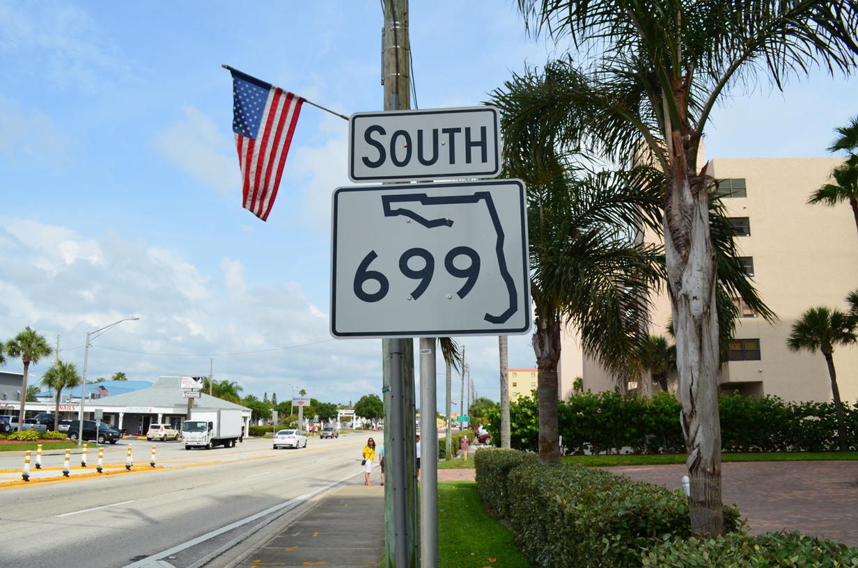
| Gulf Boulevard continues south from Downtown Madeira Beach. A series of condominium complexes line the Gulf side of SR 699 over the next mile. 06/14/14 |
|
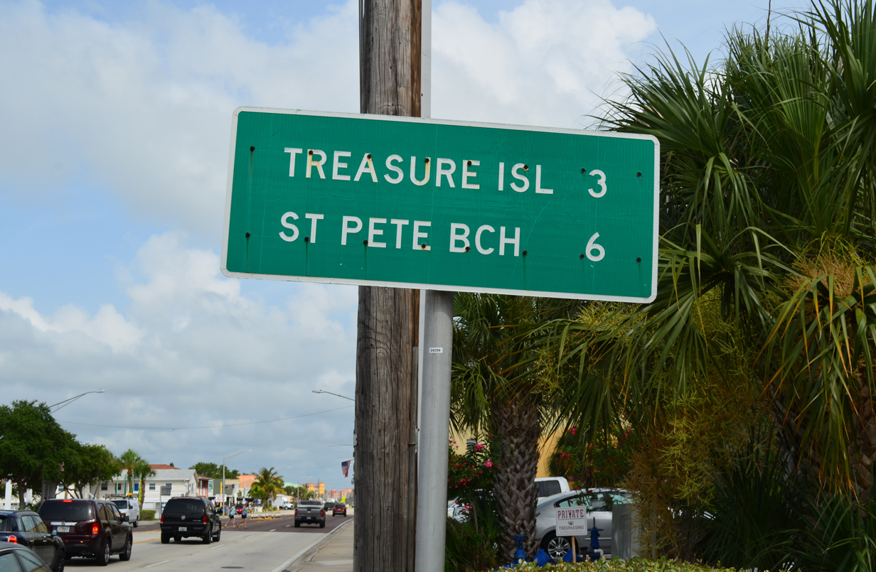
| Continuing south from Madeira Beach, SR 699 reaches central Treasure Island in three miles and St. Pete Beach in six miles. 06/14/14 |
|
| 140th Avenue joins Gulf Boulevard with Crystal Island and other islands in Boca Ciega Bay. 05/12/14 |
|
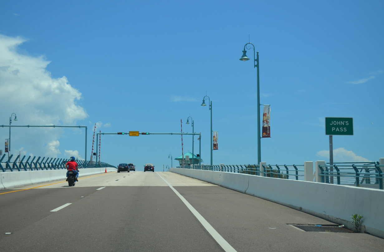
| A series of cross walks line Gulf Boulevard on the approach to Johns Pass shopping Village in south Madeira Beach. A reassurance marker for SR 699 stands beyond 133rd Avenue here. 08/15/15 |
|
| SR 699 crosses Johns Pass on a four lane draw bridge between the south end of Sand Key and Treasure Island. The $76.9 million span replaced a 35-year old bridge when it opened to traffic in September 2010. The new bridge replaced twin-span bascule bridges on the same alignment but at an increased height of 27 feet above the inlet.1 08/15/15 |
|
| Johns Pass is the first inlet linking the Gulf of Mexico with the Intracoastal Waterway since the Clearwater Pass Bridge, 14 miles to the north. 08/15/15 |
|
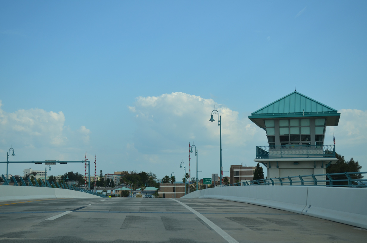
| The new Johns Pass Bridge accommodates four overall lanes with 10 foot outside shoulders and eight foot pedestrian/bicycle walkways. 08/15/15, 05/12/14 |
|
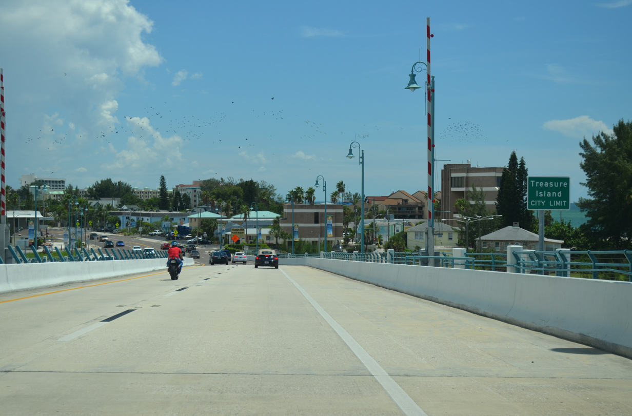
| The entirety of Treasure Island is incorporated, with 6,705 calling the municipality home as of the 2010 census. 08/15/15 |
|
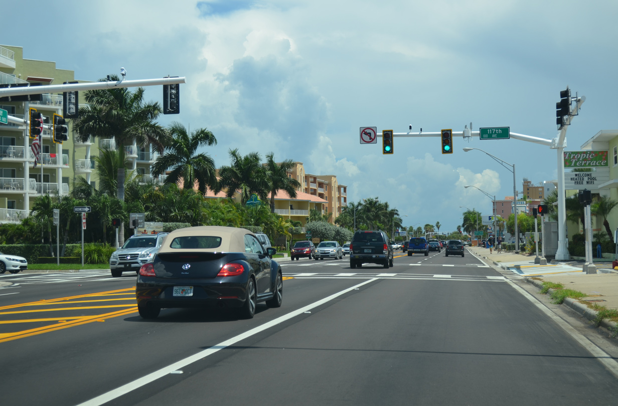
| 117th Avenue links Gulf Boulevard with the Isle of Capri. Isle of Capri is one of several 1950s man made islands in the city of Treasure Island consisting of fill from dredged material. 08/15/15 |
|
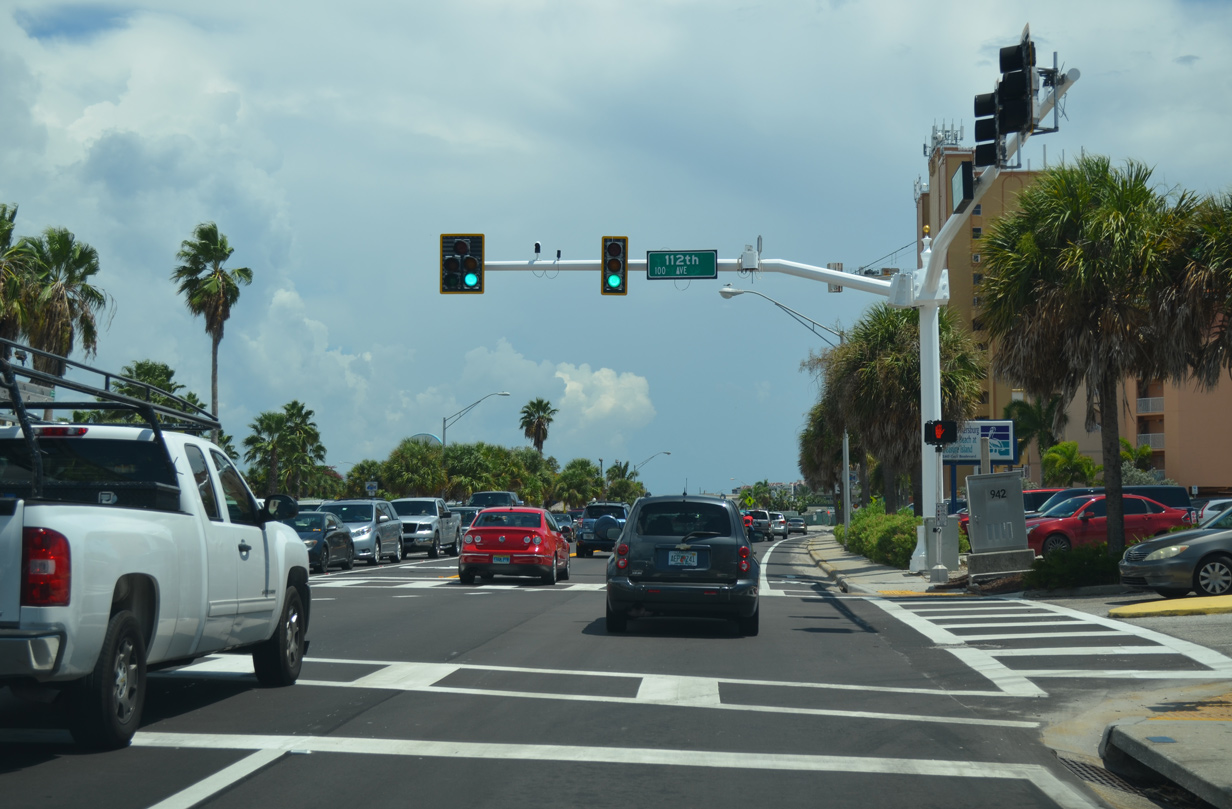
| 112th Avenue spurs east from SR 699 (Gulf Boulevard) onto the Isle of Palms. 08/15/15 |
|
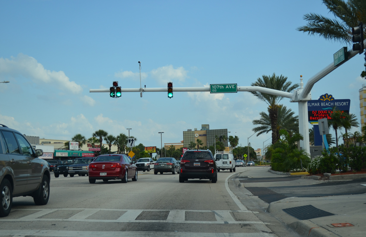
| 107th Avenue links SR 699 (Gulf Boulevard) with Treasure Island Causeway east across Boca Ciega Bay to Causeway Isles and St. Petersburg. 107th Avenue, the causeway and Central Avenue east to Downtown St. Pete are a part of County Road 150. 05/12/14 |
|
| A reassurance marker resides beyond the Gulf Boulevard intersection with 104th Avenue. 08/15/15 |
|
| Gulf Boulevard turns east to cross Blind Pass into the city of St. Pete Beach at West Gulf Boulevard. 05/12/14 |
|
| West Gulf Boulevard stems from SR 699 and First Street East to Sunset Beach and the south end of Treasure Island. 08/15/15 |
|
| A fixed low-level bridge carries four lanes of SR 699 (Gulf Boulevard) across Blind Pass onto the north end of Long Key. 08/15/15 |
|
| SR 699 (Blind Pass Road) takes an S-curve from Blind Pass southward to Egan Park and a long straight away leading toward Downtown St. Pete Beach. Gulf Boulevard stays to the west as a local road along Blind Pass. 08/15/15 |
|
| A pedestrian signal operates along Blind Pass Road southbound ahead of 84th Avenue in north St. Pete Beach. An array of beach homes, condos and businesses line the four lane boulevard. 08/15/15 |
|
| Reassurance marker for SR 699 south posted ahead of 80th Avenue. 05/12/14 |
|
| Five blocks ahead of the turn of SR 699 onto 75th Avenue on Blind Pass Road south. 08/15/15 |
|
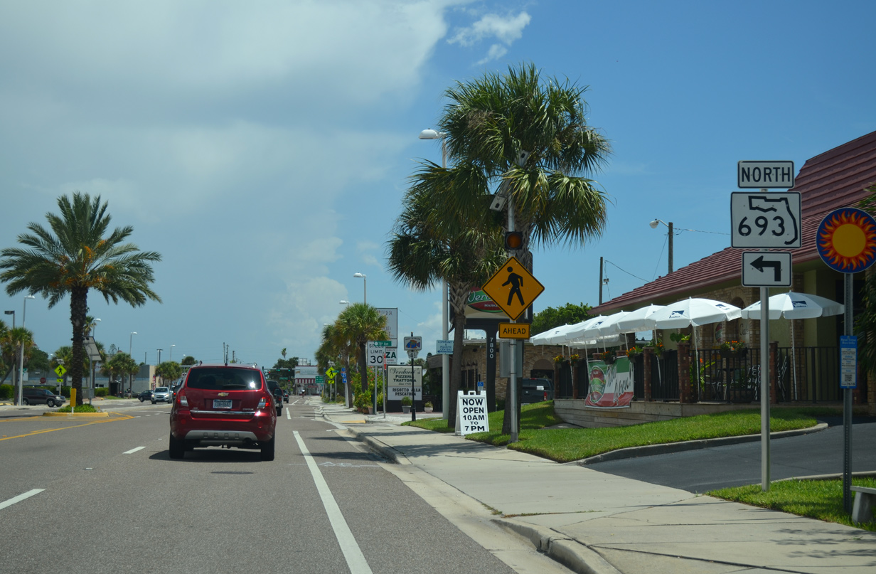
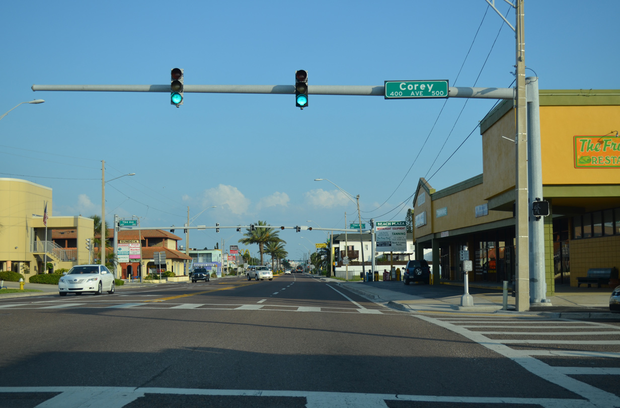
| A series of shields precede the intersection of Blind Pass Road with 75th Avenue. 75th Avenue east doubles as the northbound beginning of SR 693 north leading to Corey Causeway and the city of South Pasadena. 08/15/15 |
|
| Forthcoming SR 693 totals 11.63 miles from SR 699 in St. Pete Beach to U.S. 19 in Largo. 08/15/15 |
|
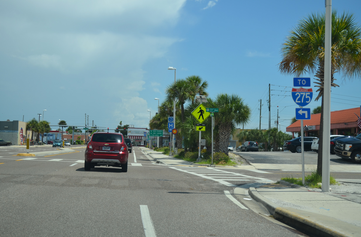
| Connections from SR 693 north to County Road 138 (Gulfport Boulevard) lead motorists through Gulfport to Interstate 275 in south St. Petersburg. The freeway is also accessible via 22nd and 38th Avenues North. 08/15/15 |
|
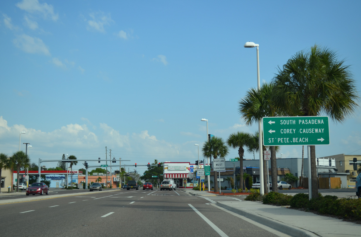
| Corey Causeway consists of a series of three bridges across Boca Ciega Bay. A four lane draw bridge spans the Intracoastal Waterway from 75th Avenue to Deadman Key. The causeway was numbered as State Road 690 prior to being redesignated as SR 693. 05/12/14 |
|
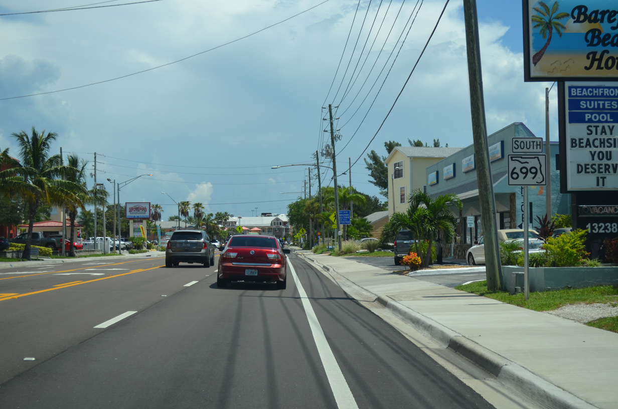
| SR 693 provides the last toll free crossing between the Pinellas County barrier islands and mainland from SR 699 south along Long Key. Blind Pass Road enters Downtown St. Pete Beach otherwise as SR 699 turns west onto 75th Avenue. 08/15/15 |
|
| SR 699 follows 75th Avenue for one block before turning southward again onto Gulf Boulevard. 08/15/15 |
|
| 75th Avenue extends two blocks further to Sunset Way at Blind Pass. 05/12/14 |
|
| Corey Avenue travels through the heart of Downtown St. Pete Beach east from Sunset Way to city hall. 05/12/14 |
|
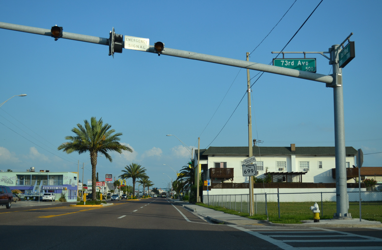
| Reassurance marker for SR 699 posted south of the fire signal at 73rd Avenue by Downtown St. Pete Beach. 05/12/14 |
|
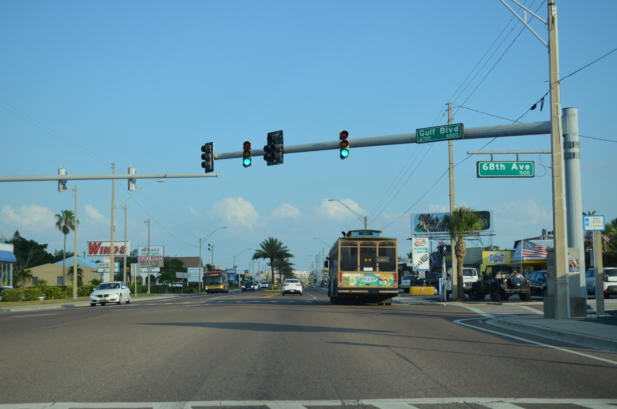
| Blind Pass Road threads through Downtown St. Pete Beach to emerge at 68th Avenue and this signal with Gulf Boulevard. 05/12/14 |
|
| Gulf Winds Drive parallels the west shore of Boca Ciega Bay as an alternate route to SR 699 from Corey Causeway to Gulf Boulevard south. 05/12/14 |
|
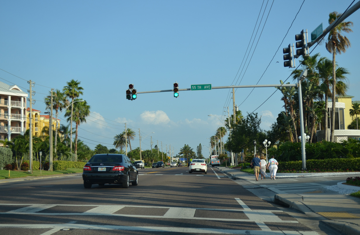
| 55th Avenue stems east from SR 699 (Gulf Boulevard) along a peninsula to the Bahia Shores community. 05/12/14 |
|
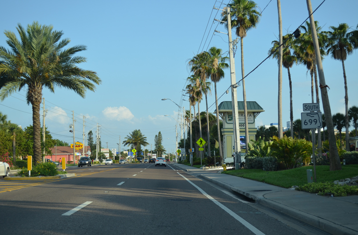
| Continuing south along Gulf Boulevard near 52nd Avenue in St. Pete Beach. A series of condominium complexes line SR 699 along this stretch. 05/12/14 |
|
| St. Pete Beach Access Park lies across from Dolphin Village Shopping Center on SR 699 (Gulf Boulevard) near 46th Avenue. 05/12/14 |
|
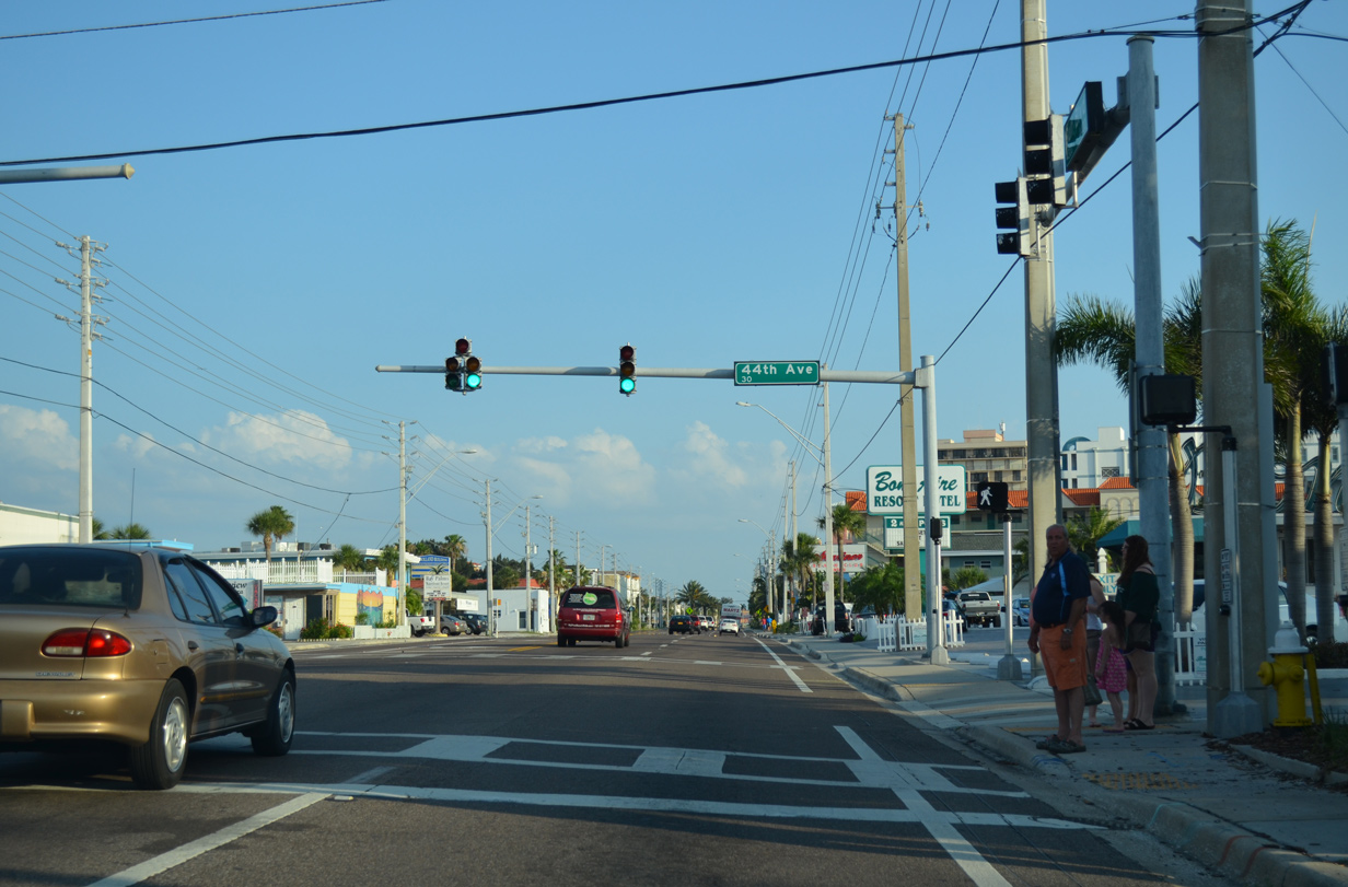
| 44th Avenue provides the lone link from SR 699 to a series of residential streets on a peninsula south of Boca Ciega Isle and north of McPherson Bayou. 05/12/14 |
|
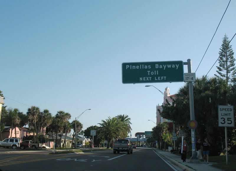
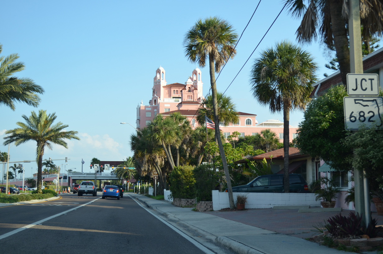
| Nearing the final departure point for the Pinellas County mainland on SR 699 (Gulf Boulevard) south, the tolled Pinellas Bayway east to south St. Petersburg.
The overhead for the Bayway (SR 682) was replaced by 2011. 01/06/07, 05/12/14 |
|
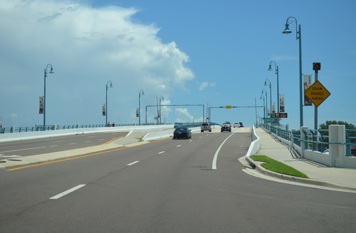
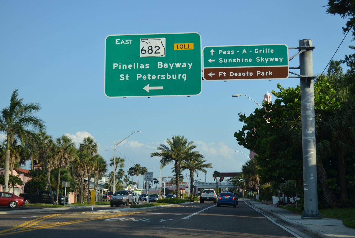
| State Road 682 travels across a series of bridges from Long Key to Isla Del Sol and Bayway Isles before reaching the county mainland ahead of Eckerd College. Tolls are collected along the Intracoastal Waterway bridge in the eastbound direction. 05/12/14 |
|
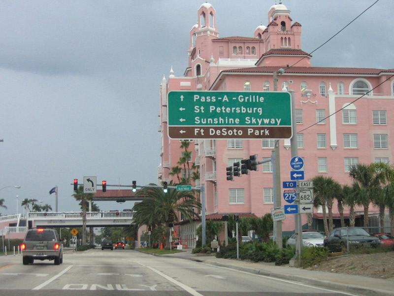
| This sign was removed by 2011 as a similar sign was installed on the previous overhead assembly. Beyond SR 682, Gulf Boulevard becomes Pass-a-Grille Way, a local route south to Pass-a-Grille Beach and Point Pass-a-Grille. 01/06/07 |
|
| SR 682 travels 3.72 miles east from Gulf Boulevard to Interstate 275 and U.S. 19 (34th Street South) at 54th Avenue South in St. Petersburg. 05/12/14 |
|
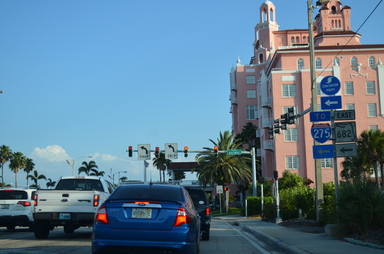
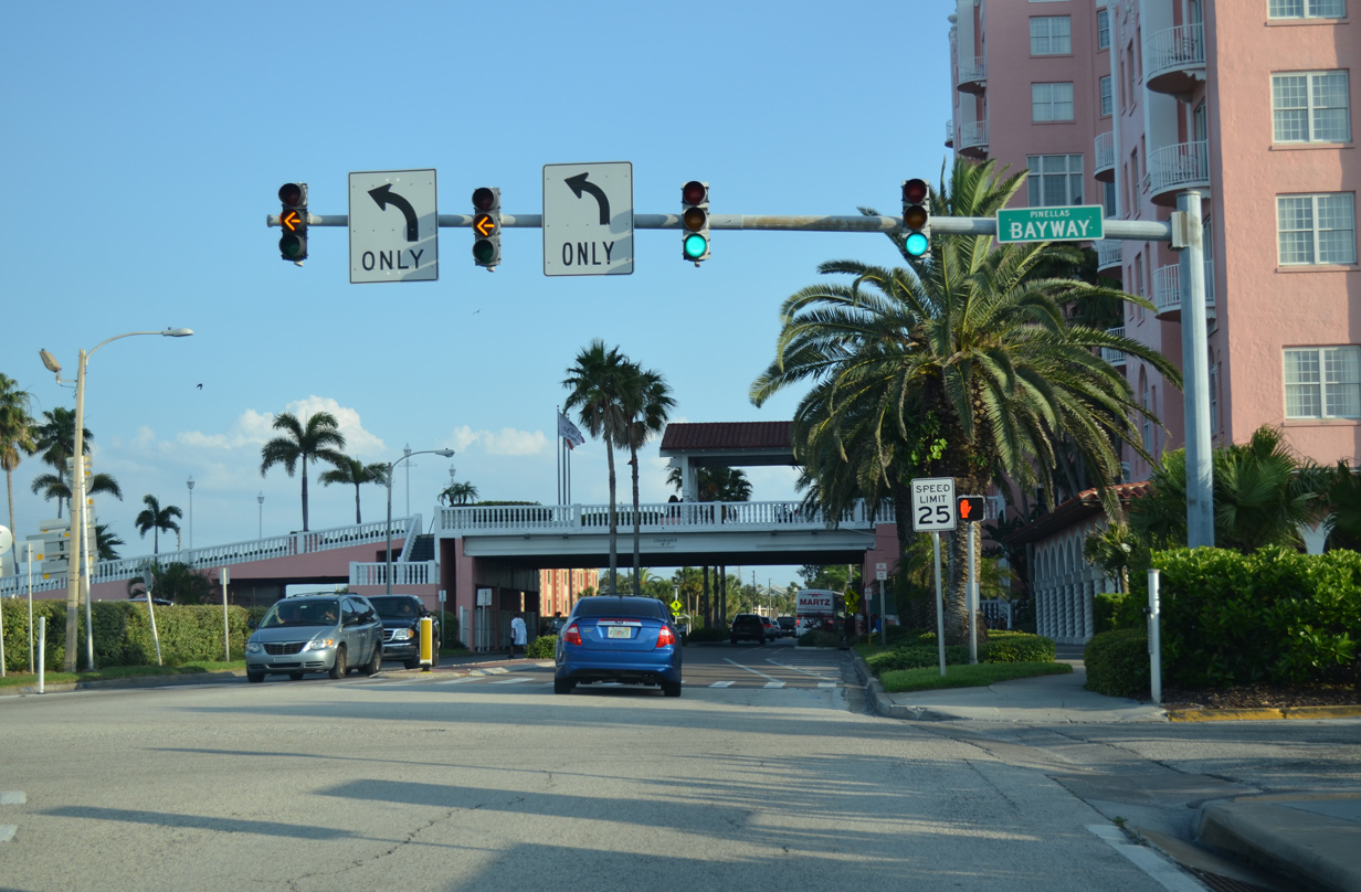
| Two turn lanes join SR 682 (Pinellas Bayway) east as SR 699 south ends. Gulf Boulevard south passes under an overpass connecting the Do Cesar Resort with an adjacent parking area at Casablanca Avenue. 05/12/14 |
Page Updated 08-20-2015.