The pathway of Indiana 933 has gone through numerous designations through the years, but the most recent one was U.S. 33, which used to stretch from St. Joseph, Michigan south through Niles and into South Bend before heading east toward Mishawaka and Elkhart. In April 1988, U.S. 33 was decommissioned to its current northern terminus at the St. Joseph Valley Parkway (U.S. 20) in Elkhart. Indiana 933 was designated as a "business route" for the former U.S. 33 within St. Joseph and Elkhart Counties. The Elkhart County section has been returned to local authorities while the St. Joseph segment continues to be maintained by INDOT to this day. The highway follows the route of former U.S. 31 and Business U.S. 31 from the Michigan state line south to Downtown South Bend where it follows the path of the Lincoln Highway east through Mishawaka and Osceola. The highway simply ends at the county line with St. Joseph and Elkhart Counties. Despite its L-shaped nature, the highway is classified as a north-south highway throughout.
|
| We begin at the Indiana state line as SR 933 enters St. Joseph County (population 266,931) at State Line Road. The highway remains a four lane highway as it crosses into Indiana and carries the original routing of U.S. 31 from the city of Niles to the north toward Fort Wayne. 04/10/10 |
|
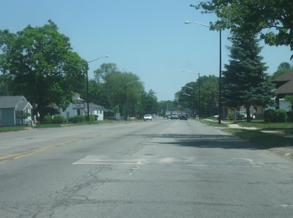
| SR 933 heads south along the original routing of U.S 31 across Clay Township to the north of South Bend. 04/10/10 |
|
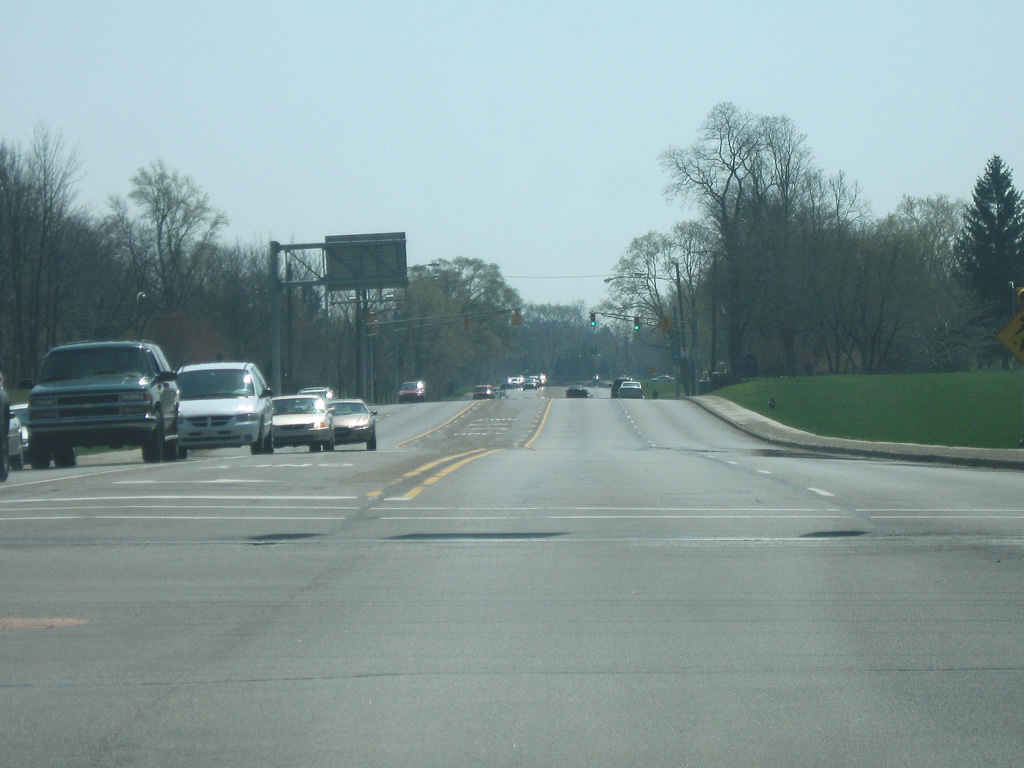
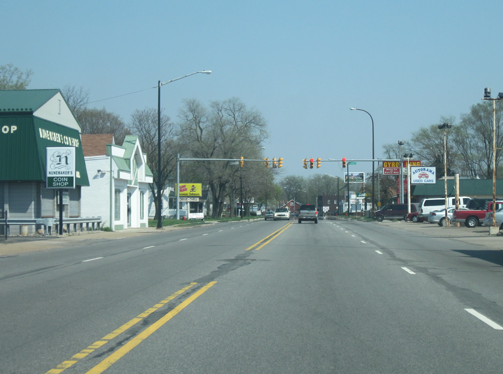
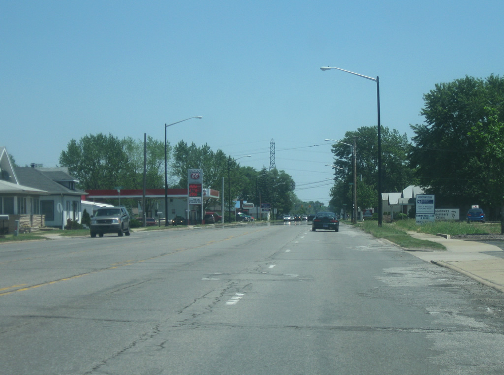
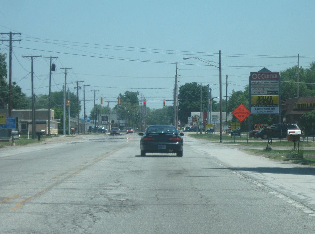
| We pick up SR 933 in the small town of Roseland to the south of the overpasses carrying the Indiana Toll Road. The access road onto the toll road is a mile to the south of the actual highway on the south side of Roseland. Several hotels and restaurants line the highway to serve traffic that get off the Toll Road to reach Downtown South Bend or the University of Notre Dame. 04/10/10 |
|
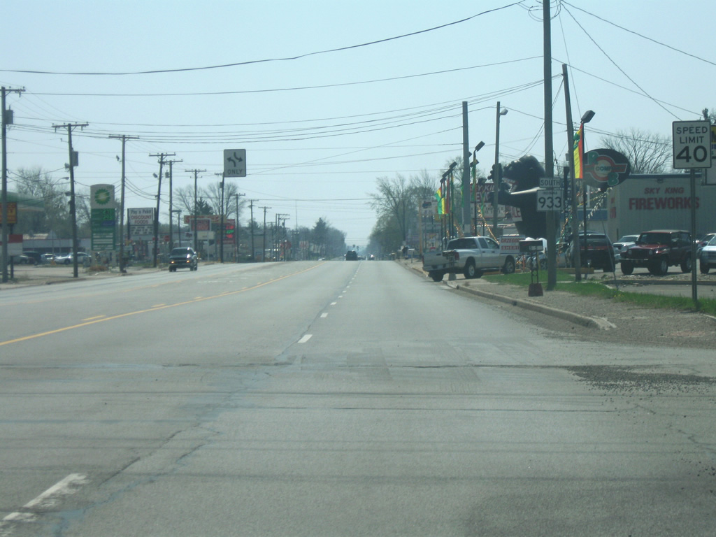
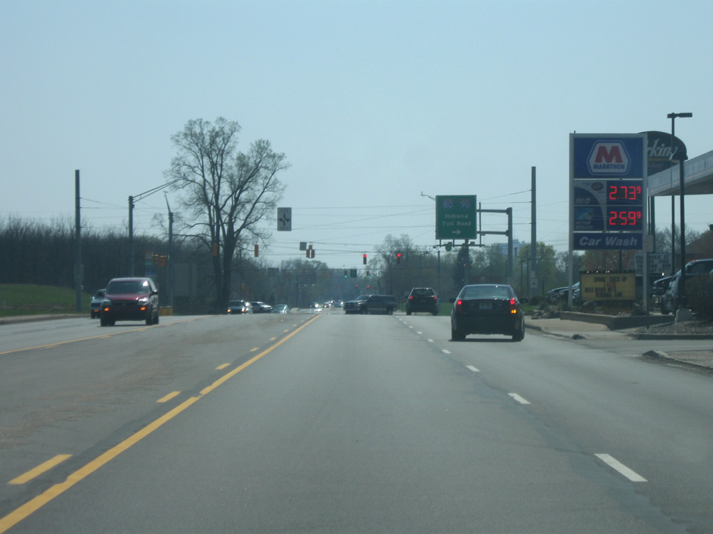
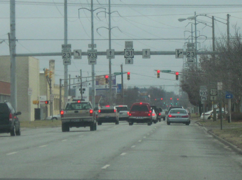
| Now a quarter mile away from the access ramp onto the Indiana Toll Road, which has the longest interstates in the United States, Interstate 80 and Interstate 90. The interstates are multiplexed as part of the 156 mile Indiana Toll Road. Interstates 80 and 90 head west to Michigan City, Gary and Chicago and east to Elkhart, Angola and Toledo with their split at Elyria and Cleveland, Ohio. Nationally, both highways travel across the length of the country from San Francisco and Seattle to the west to New York City and Boston to the east. 04/10/10 |
|
| A stoplight intersection marks the point where traffic enters and leaves the Indiana Toll Road (I-80/90) via a set of toll booths. Traffic entering the Toll Road receives a ticket while those getting off pay at a booth based on their distance traveled along the toll road. The access ramp goes along the west side of Roseland, whose presence is the reason for the long ramp in the first place. The ramp is the most direct access point from the Toll Road to the University of Notre Dame and Downtown South Bend. 04/10/10 |
|
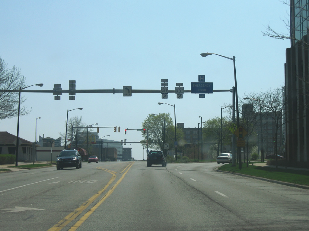
| Looking south at the intersection with Douglas Road. The world famous University of Notre Dame lies to the east, south of Douglas Road, as SR 933 forms the western boundary of the Catholic university that is best known for its college football program. St. Mary's College and Holy Cross College are on the west side of the highway (to the right) on the other side of SR 933 opposite Notre Dame. 04/10/10 |
|
| South of the Notre Dame campus and the intersection with Angela Boulevard, SR 933 (called Michigan Street in South Bend) goes underneath a former railroad bridge that now carries the East Bank Trail over it. SR 933 becomes a four lane urban street as it goes closer toward Downtown South Bend. 04/10/10 |
|
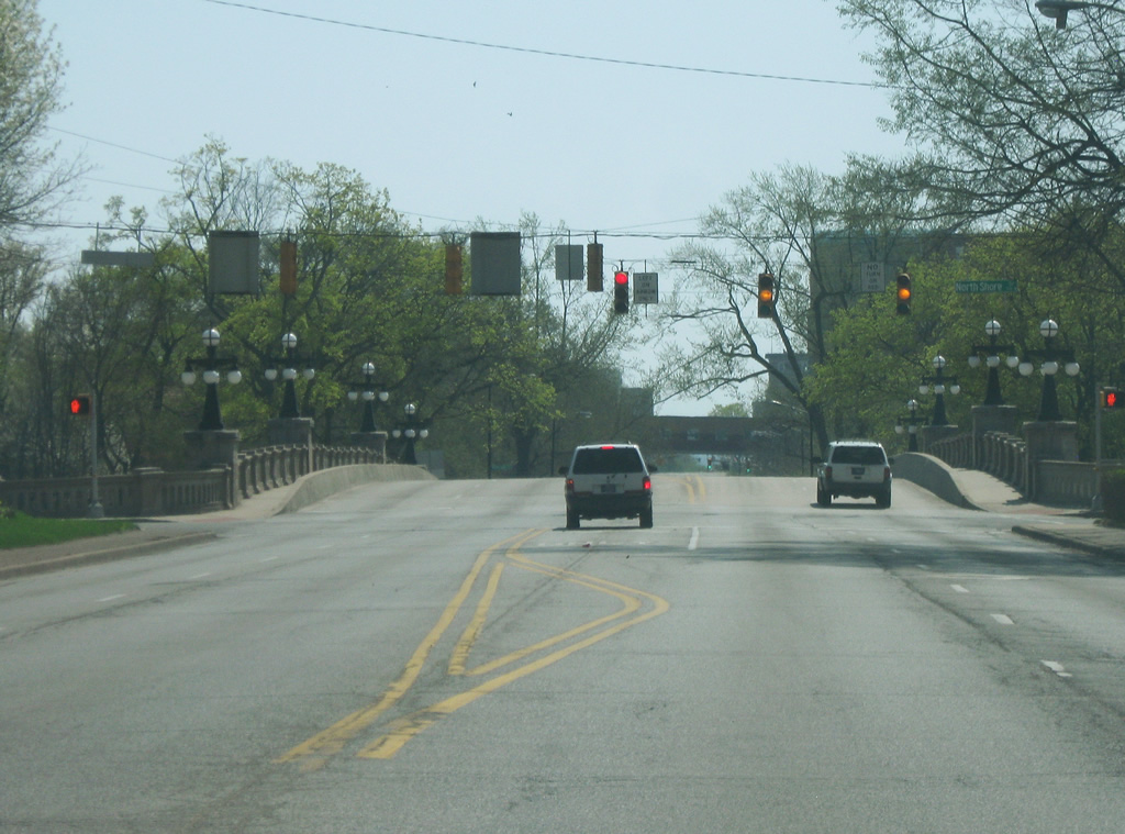
| SR 933 reaches the intersection with North Shore Drive as it crosses over a bridge that was built as part of the City Beautiful movement in 1914 over the St. Joseph River. Prior to the construction of the U.S. 31 bypass to the west, U.S. 31 was routed over the bridge. 04/10/10 |
|
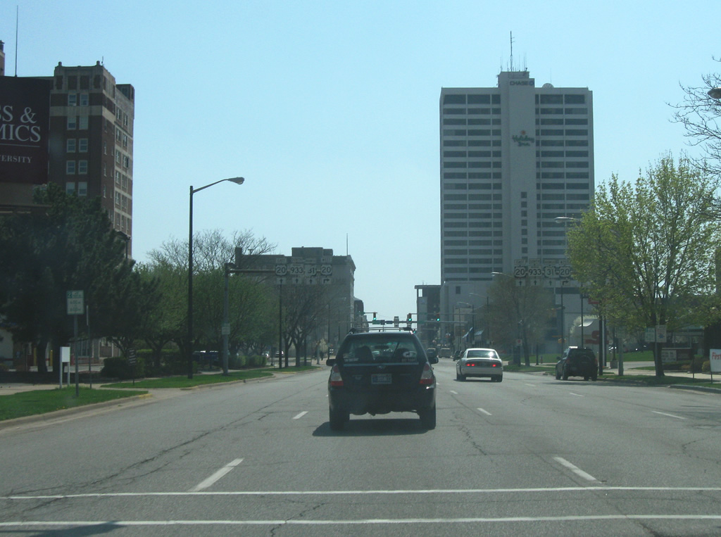
| South of the crossing over the St. Joseph River, SR 933 (Michigan Street) approaches Downtown South Bend as approaches a skyway that connects two parts of Memorial Hospital. 04/10/10 |
|
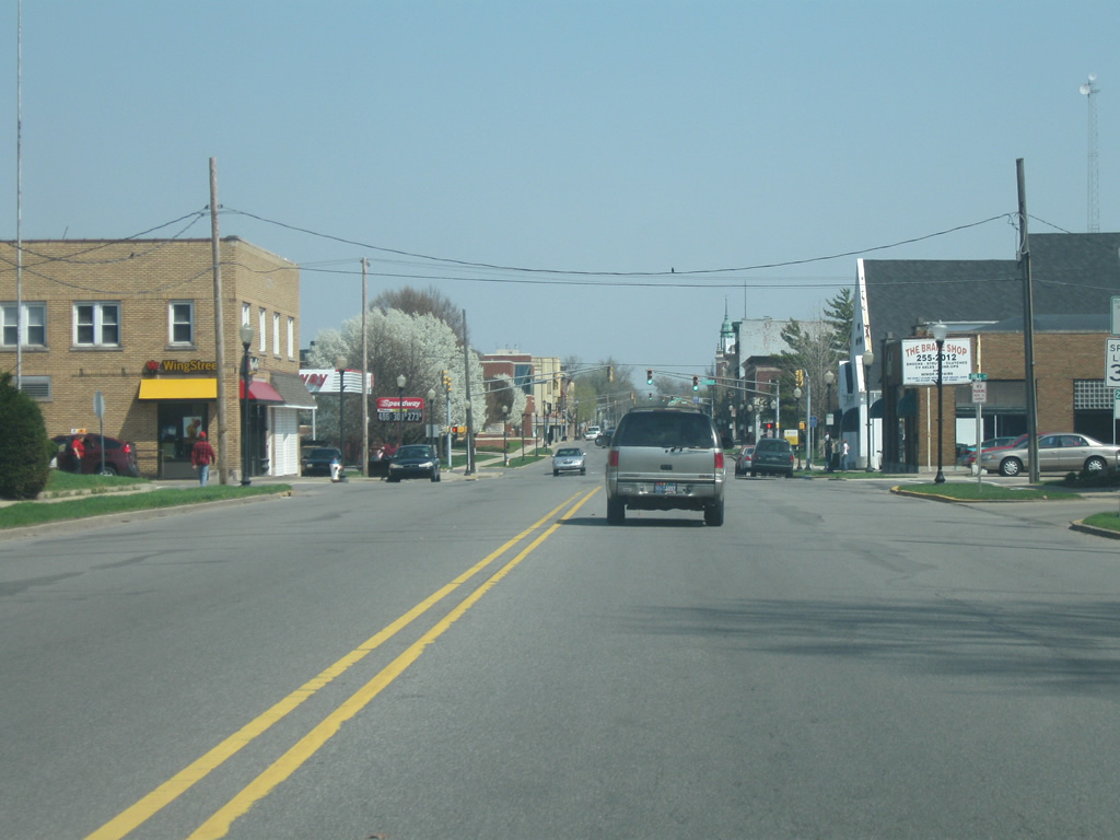
| South of Memorial Hospital, SR 933 splits into a pair of one way streets as it enters Downtown South Bend. SR 933 south will follow Main Street while the northbound lanes follow St. Joseph and Michigan Streets. A Business U.S. 31 shield resides next to an SR 933 marker as the highway splits. As with any business route in Indiana, the designation is local. 04/10/10 |
|
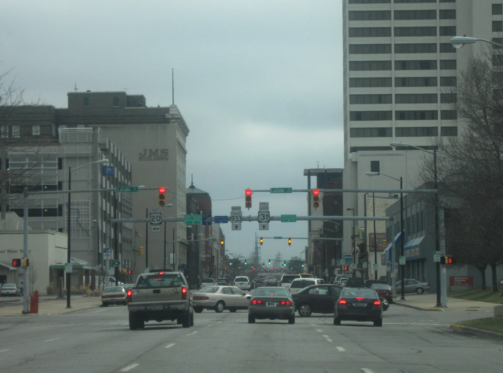
| SR 933 (Main Street) nears the intersection with LaSalle Avenue. LaSalle Avenue once carried the path of former U.S. 20 from the northwest along Lincolnway to the east from Downtown South Bend. Despite the decommissioning of U.S. 20 across South Bend, shields can still be found in Downtown South Bend. 04/10/10, 03/09/09 |
|
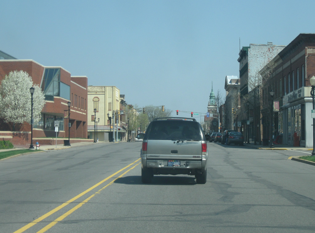
| SR 933 (Main Street) passes through Downtown South Bend and South Street before going underneath a railroad overpass. 03/09/09 |
|
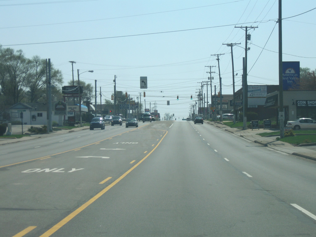
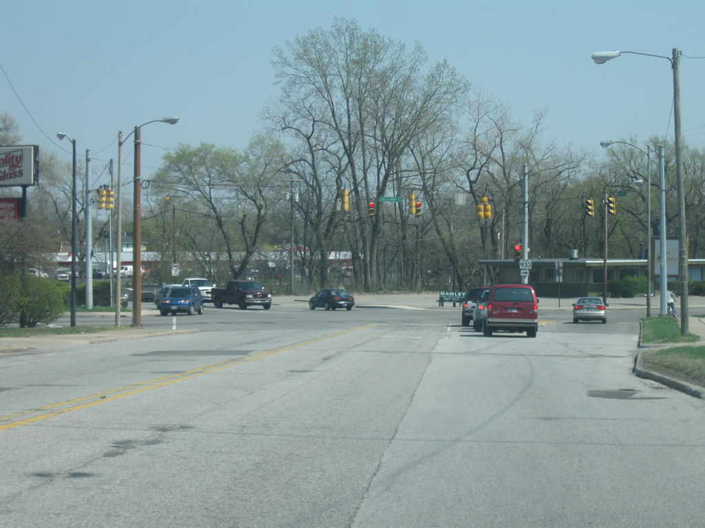
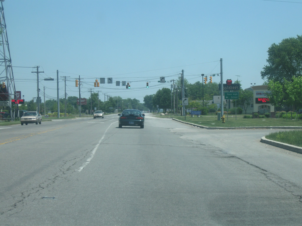
| SR 933 (Main Street) nears the intersection with SR 23 (Sample Street). SR 23 goes for 51 miles from SR 10 in southeastern Starke County and runs through Walkerton, North Liberty and South Bend before crossing over into Michigan near Granger. In South Bend, the highway follows Prairie Avenue from the southwest to Sample Street. 03/09/09 |
|
| Heading east on SR 933/SR 23 north (Sample Street) at the stoplight with Michigan Street. Michigan Street carries the northbound lanes for Business U.S. 31 as well as SR 933 north back into Downtown South Bend. 04/10/10 |
|
| Looking east along SR 933/SR 23 north (Sample Street) to the east of the intersection with Michigan Street. 04/10/10 |
|
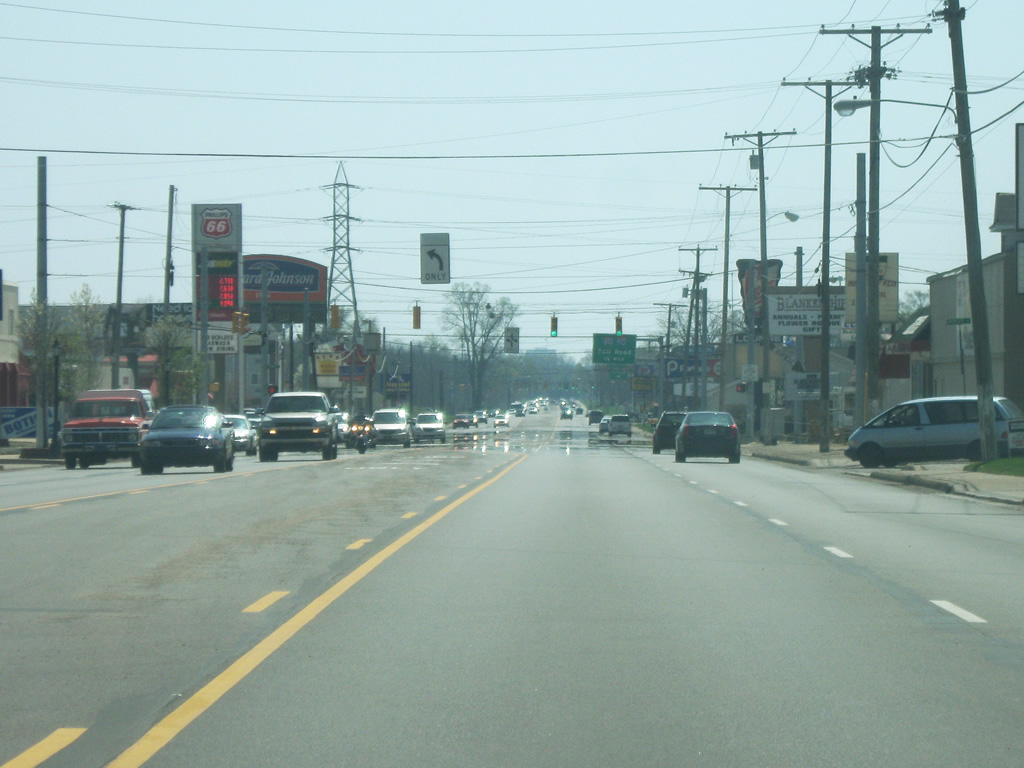
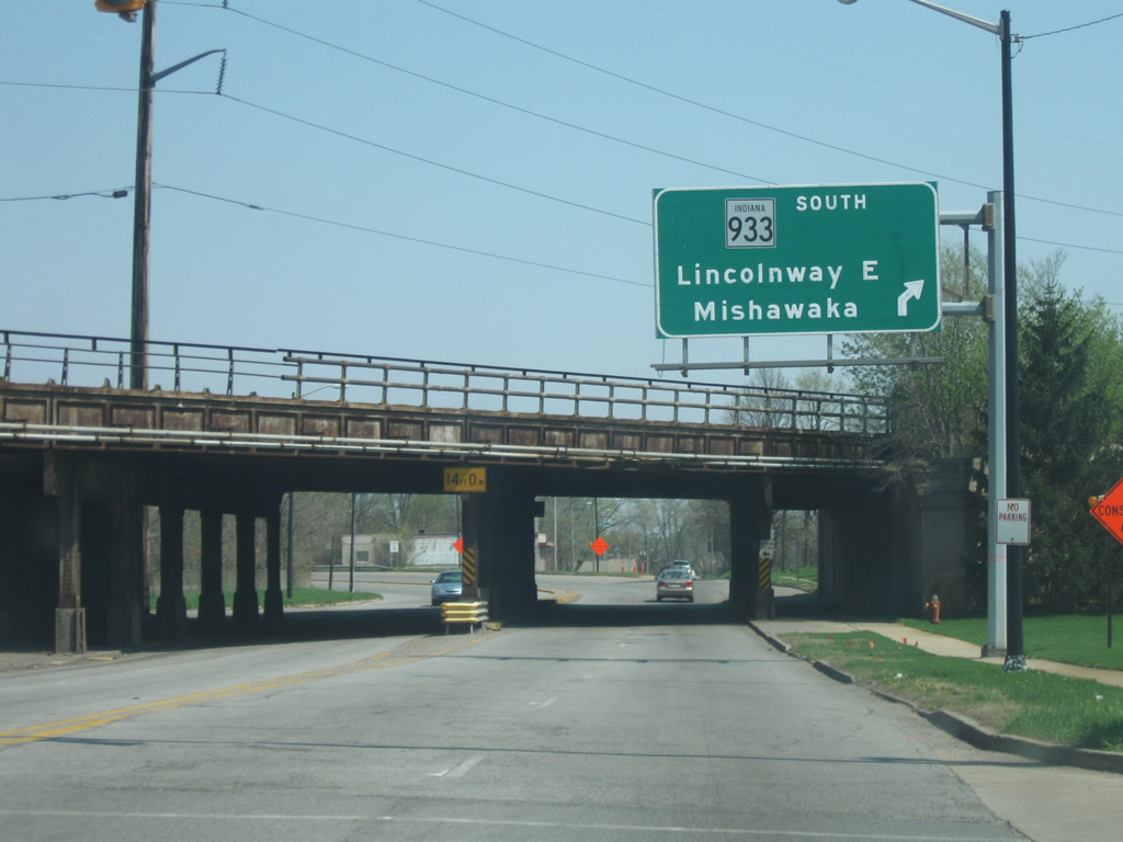
| Passing underneath the same set of railroad tracks as they did earlier, SR 933 will turn off toward the right onto Lincolnway East. A button copy sign announces the control city of Mishawaka for SR 933 south. Past the railroad overpass, Sample Street carries SR 933 south toward the east while Eddy Street carries SR 23 north across the St. Joseph River. 04/10/10 |
|
| SR 933 east (Sample Street) enters the intersection with Lincolnway East. Lincolnway East heads toward the northwest toward Downtown South Bend while Sample Street continues across the St. Joseph River. SR 933 turns southeast onto Lincolnway East along the south side of the St. Joseph River. 04/10/10 |
|
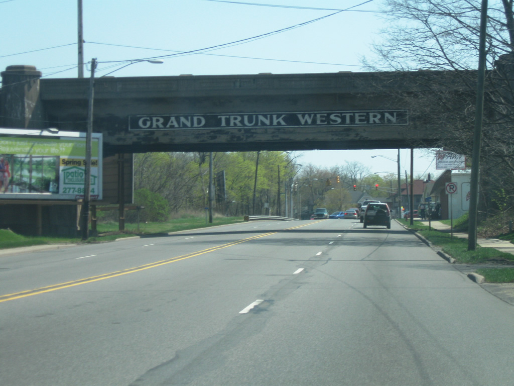
| SR 933 south (Lincolnway East) goes underneath the Grand Western Trunk Railway overpass as it heads southeast out of the city of South Bend. 04/10/10 |
|
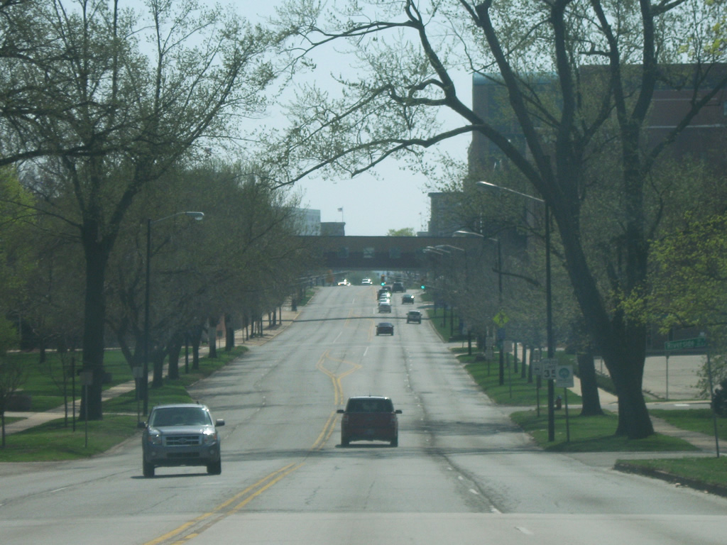
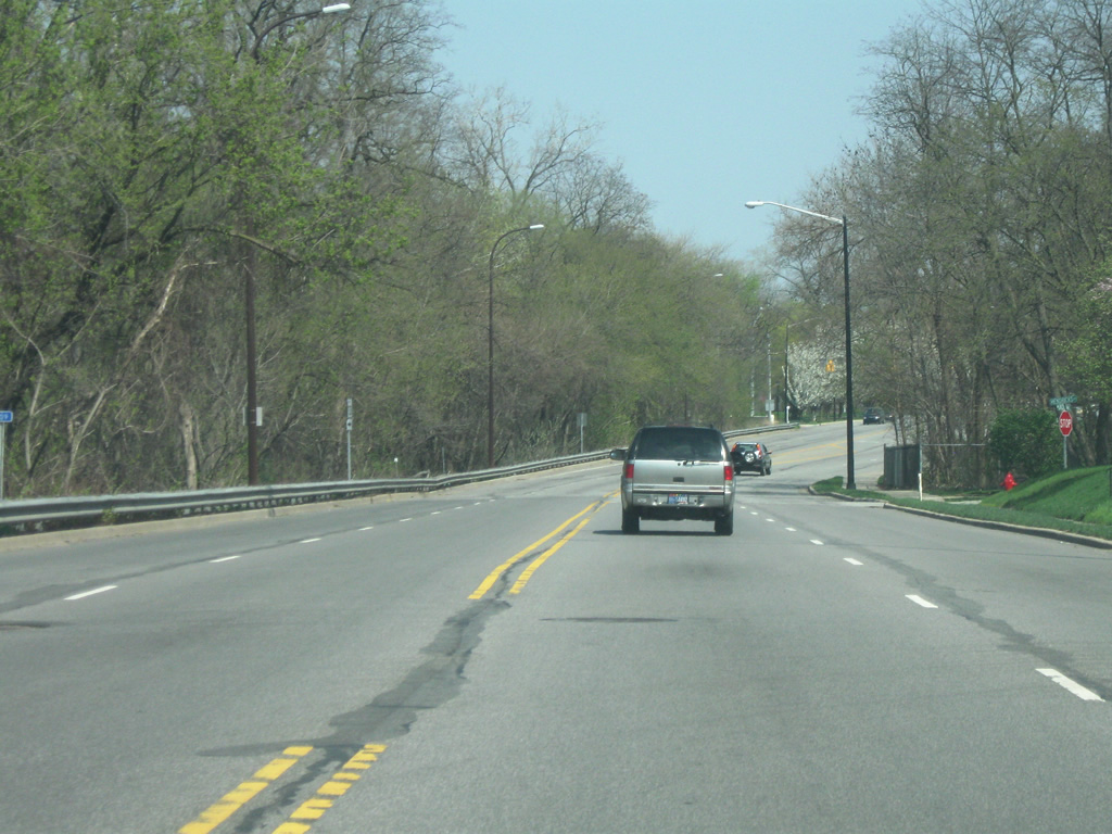
| A view of SR 933 (Lincolnway East) as it follows the edge of the St. Joseph River on the east side of South Bend. 04/10/10 |
|
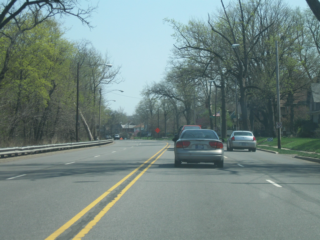
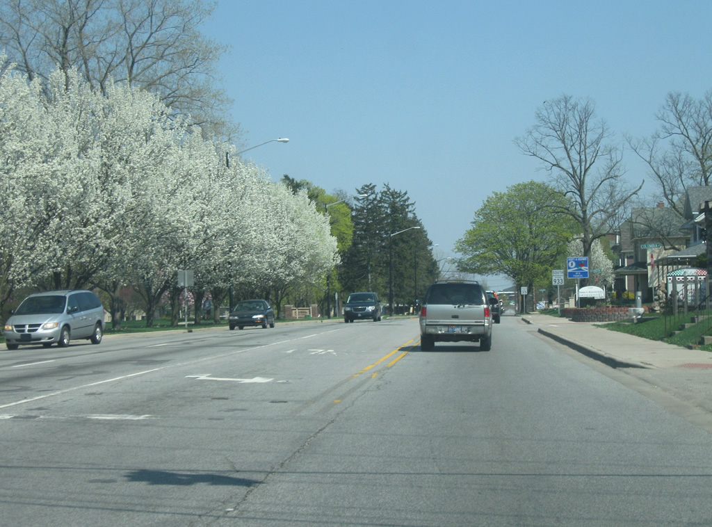
| SR 933 (Lincolnway East) enters a commercial zone as it passes by nears the intersection with Ironwood Drive to the south of the campus of Indiana University-South Bend. 04/10/10 |
|
| East of the Ironwood Drive intersection, SR 933 (Lincolnway West) enters the city of Mishawaka (population 48,252). 04/10/10 |
|
| In Mishawaka, SR 933 (Lincolnway West) approaches the intersection with Russell Avenue. 04/10/10 |
|
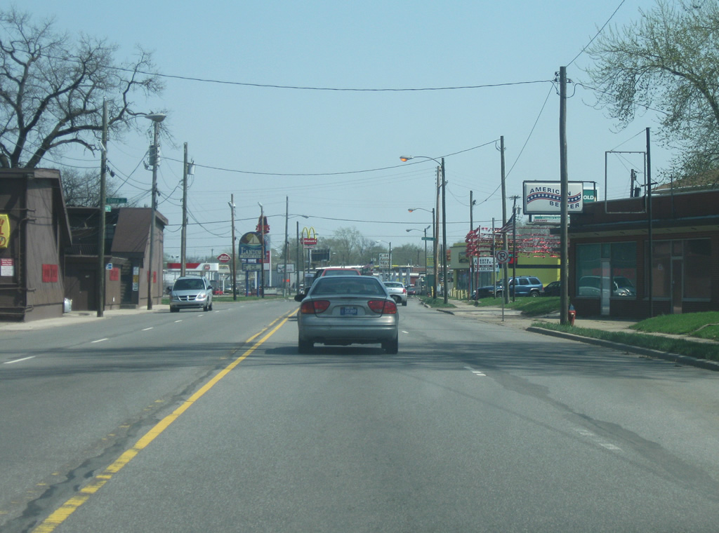
| SR 933 (Lincolnway West) heads east from Russell Avenue into the older part of the city of Mishawaka. 04/10/10 |
|
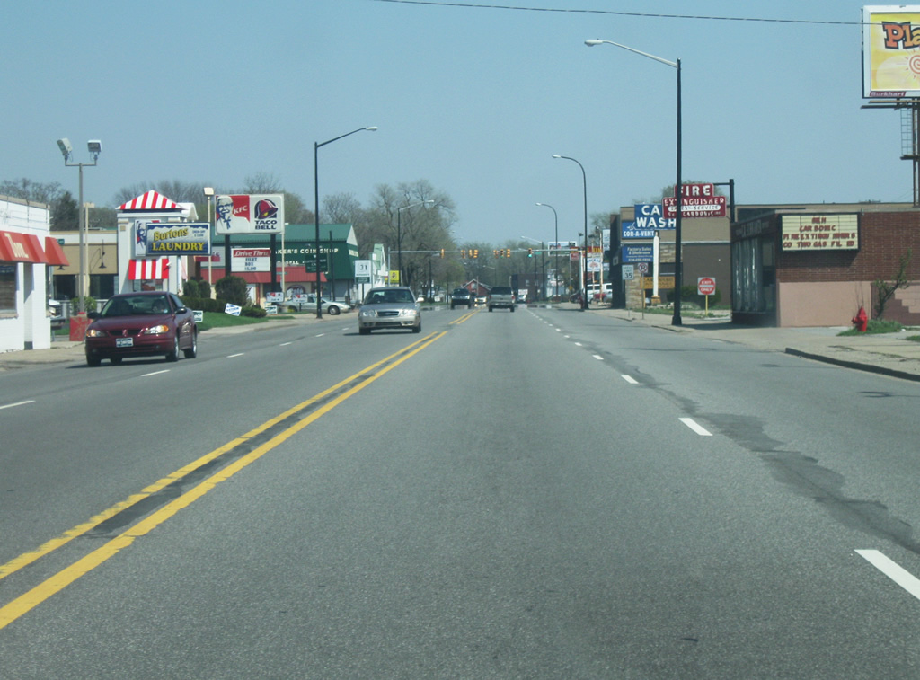
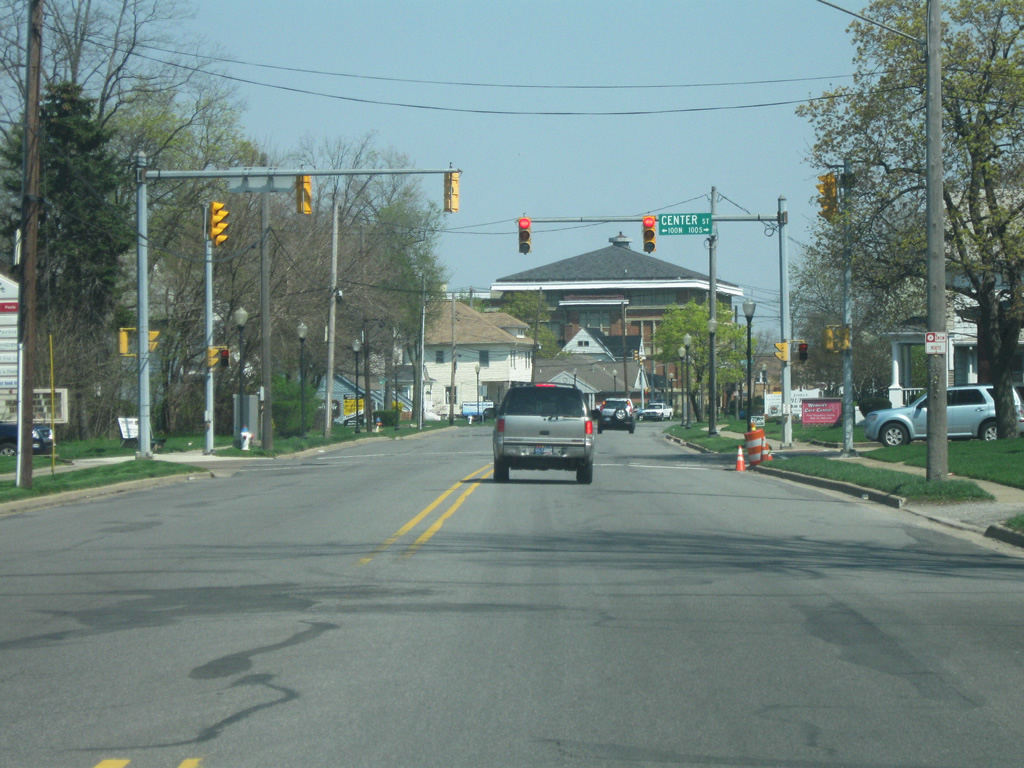
| SR 933 (Lincolnway West) passes by the intersection of Center Street as the highway enters Downtown Mishawaka. 04/10/10 |
|
| Entering a business district anchored by the intersection of SR 933 (Lincolnway) and Main Street. Pictured here is the approach to Hill and Spring Streets. 04/10/10 |
|
| Eastbound SR 933 (Lincolnway) crosses the intersection with Hill Street ahead of the traffic light iwth Main Street. 04/10/10 |
|
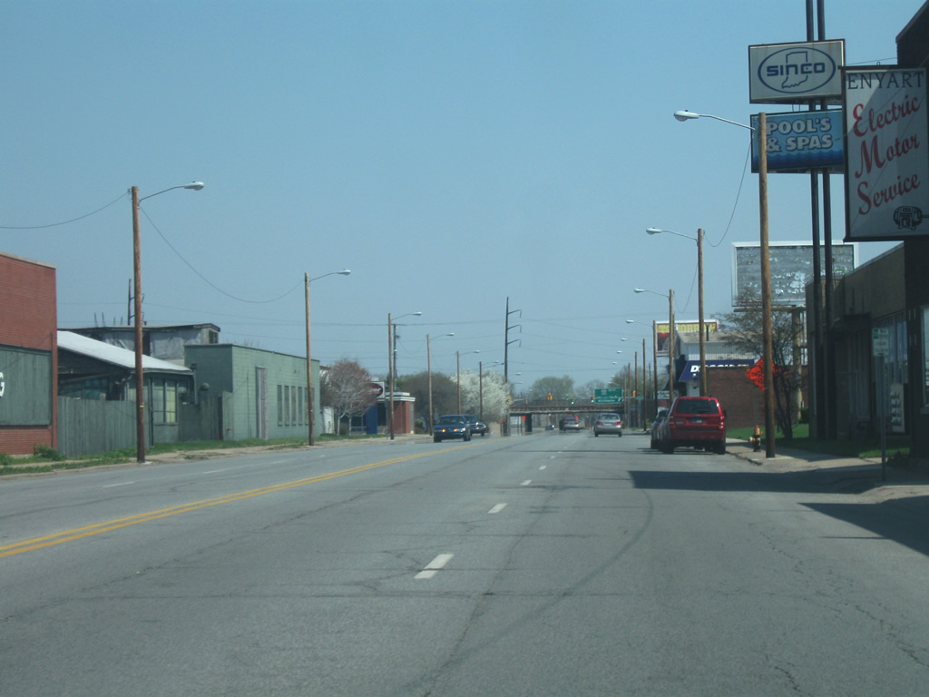
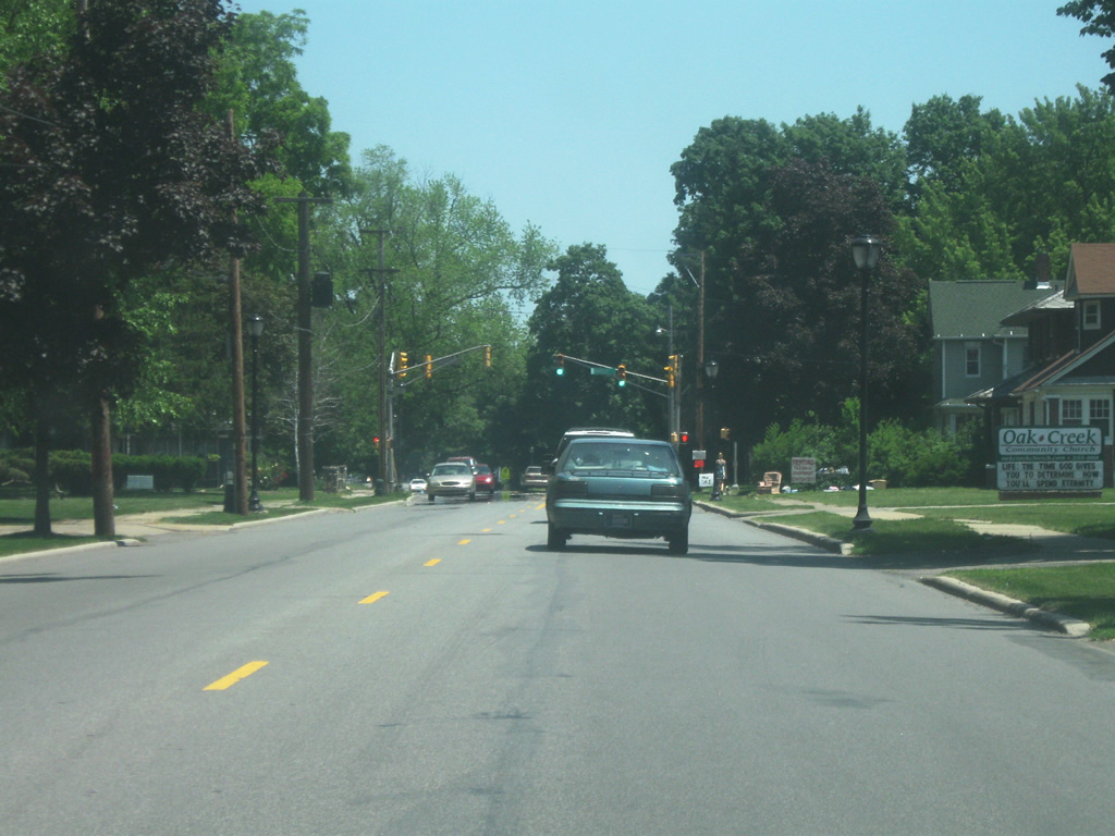
| East of Downtown Mishawaka, SR 933 (Lincolnway East) is reduced to two lanes. The highway continues east across the east side neighborhood. 05/30/10 |
|
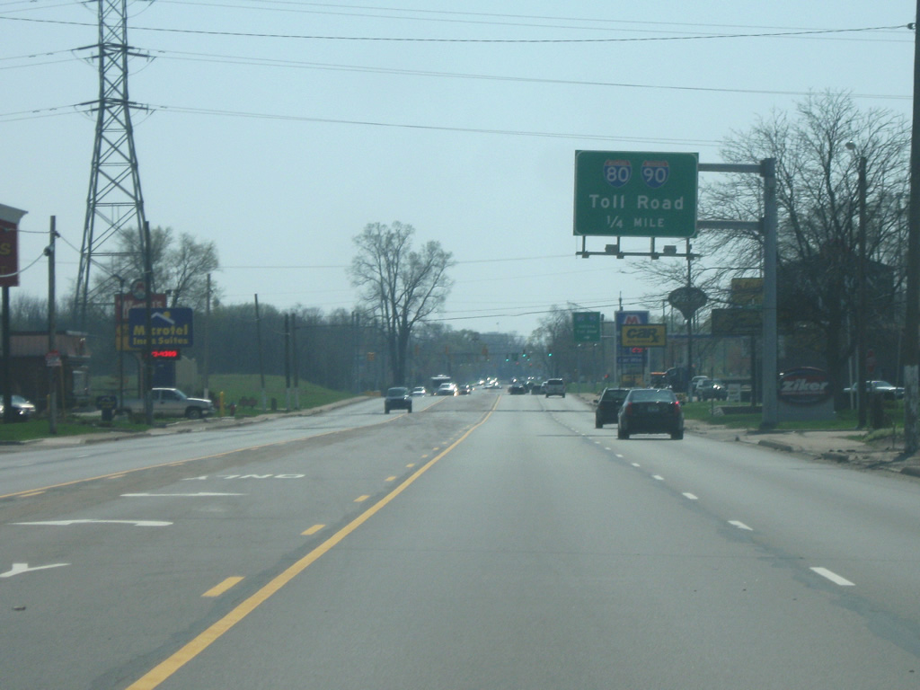
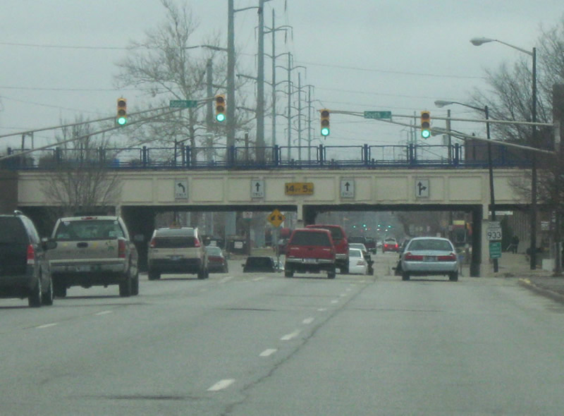
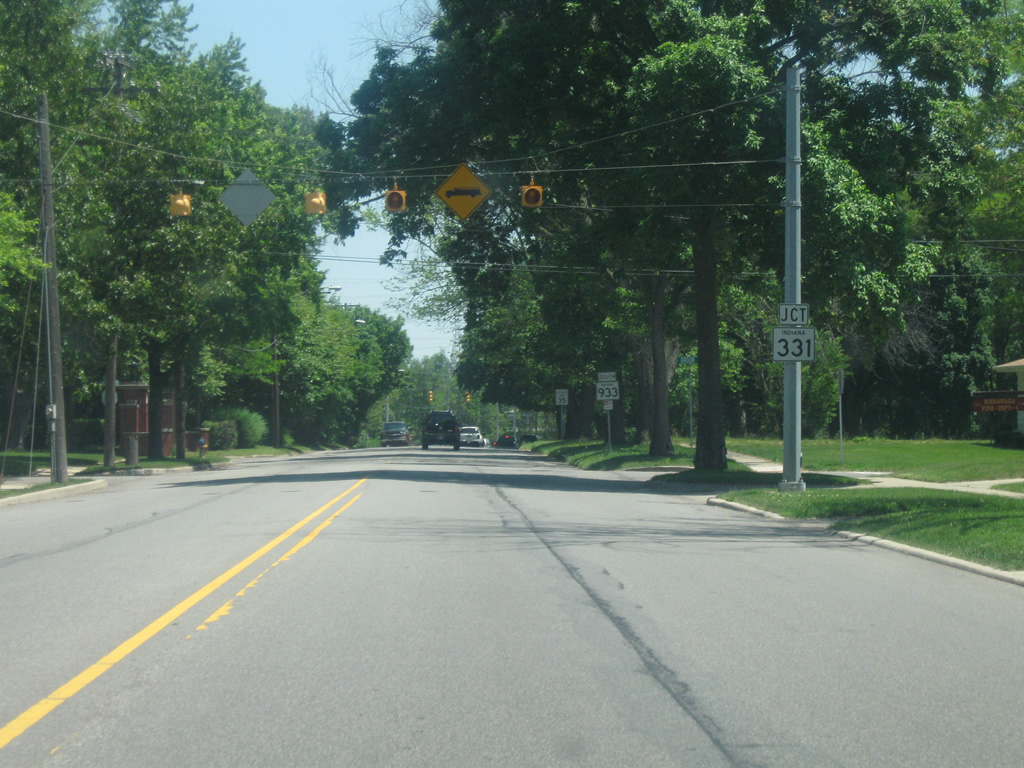
| SR 933 (Lincolnway East) approaches the intersection with SR 331 (Capital Avenue). SR 331 is a 35 mile highway that begins at SR 110 near Tippecanoe and heads north through Bourbon, Bourbon and Mishawaka before ending at SR 23 near Granger. The stretch from SR 933 (Lincolnway East) is a four lane expressway north to the Indiana Toll Road (Interstate 80/Interstate 90) and SR 23 in Granger, with plans on being expanded to four lanes south to the St. Joseph Valley Parkway (U.S. 20). 05/30/10 |
|
| East of SR 331 (Capital Avenue), SR 933 (Lincolnway East) goes back to four lanes as it heads through the far east side of Mishawaka. 05/30/10 |
|
| SR 933 (Lincolnway East) approaches the intersection with Bittersweet Road, which leads north toward Penn High School. 05/30/10 |
|
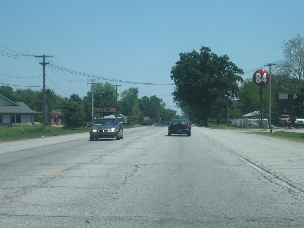
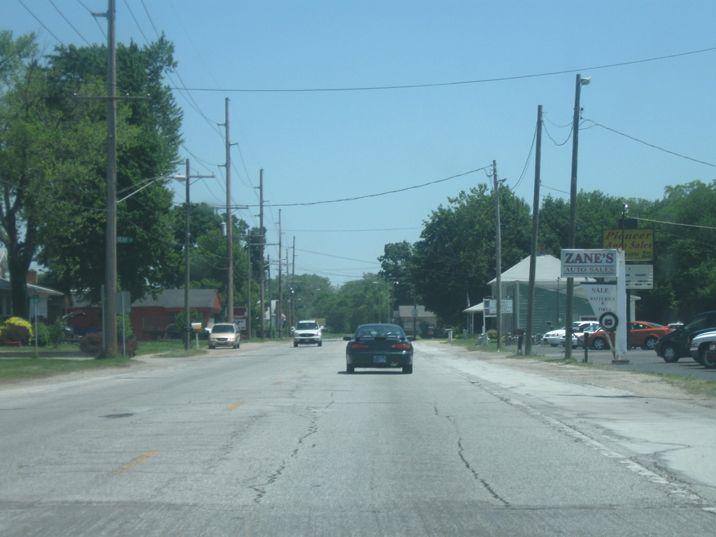
| The final few miles of SR 933 (Lincolnway East) goes through the town of Osceola (population 2,463) before it leaves St. Joseph County. On the county line at the intersection with Ash Road, SR 933 officially ends. 05/30/10 |
Page Updated 03-02-2012.

 South
South