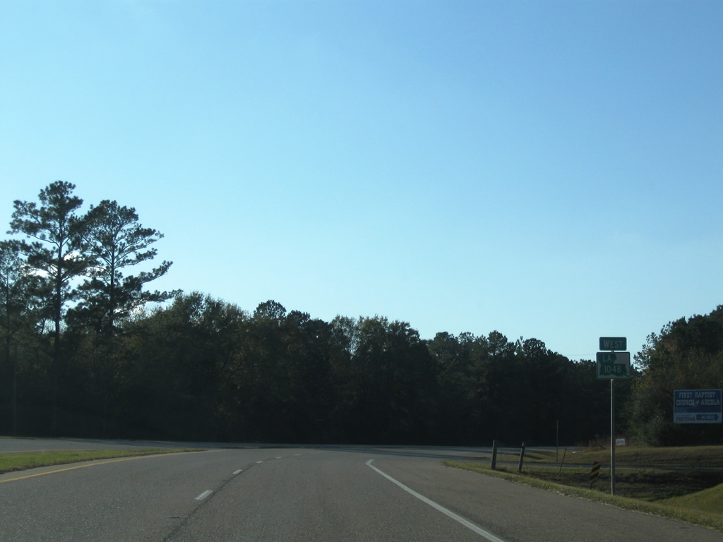
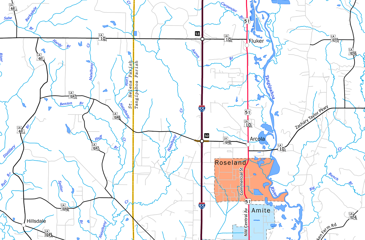
LA 1048 is a nearly five mile long highway linking eastern St. Helena Parish with Interstate 55 (Exit 50) and U.S. 51/LA 10 at Arcola.
|
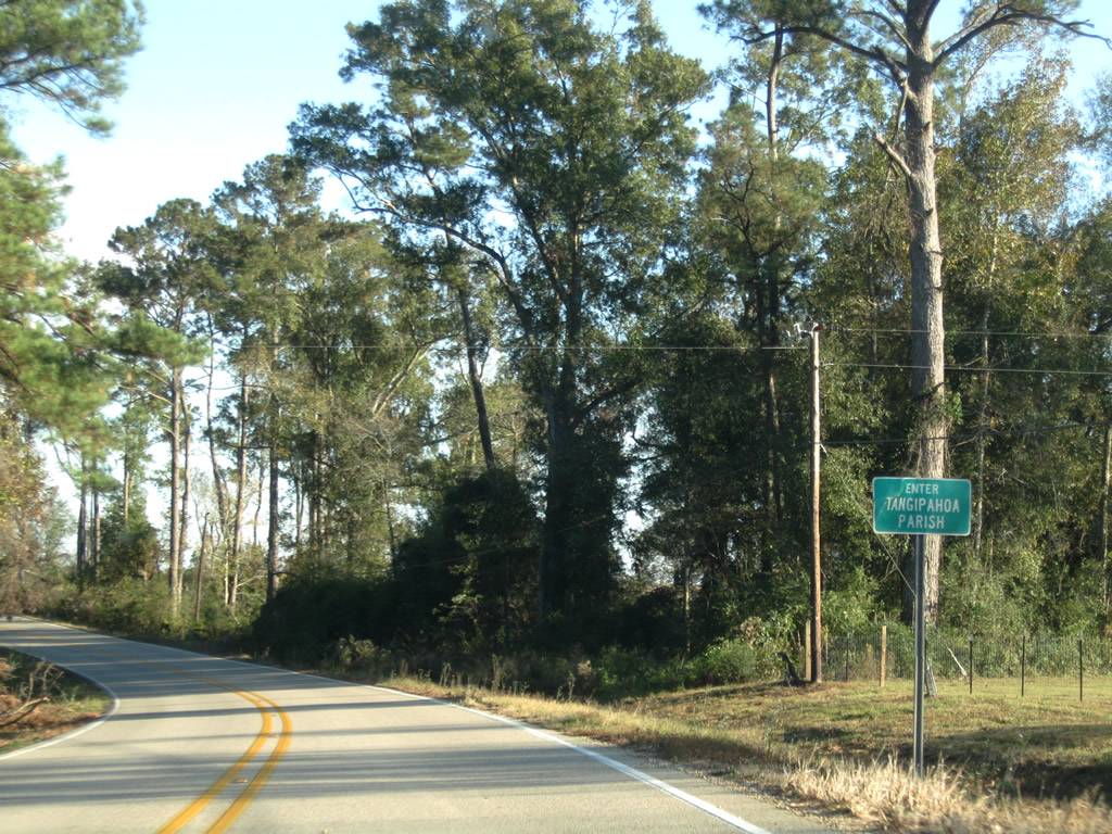
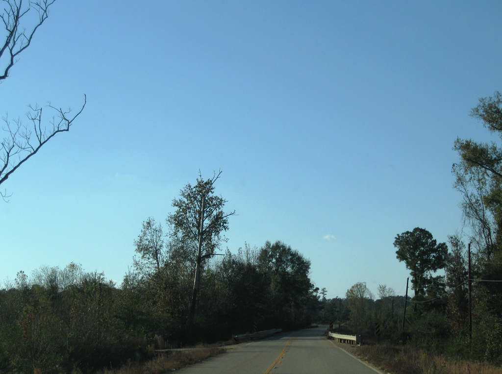
| LA 1048 advances 1.5 miles east from LA 1047 into Tangipahoa Parish. 11/20/08 |
|
| Just outside Roseland, LA 1048 expands into a four lane divided highway to meet Interstate 55. 11/20/08 |
|
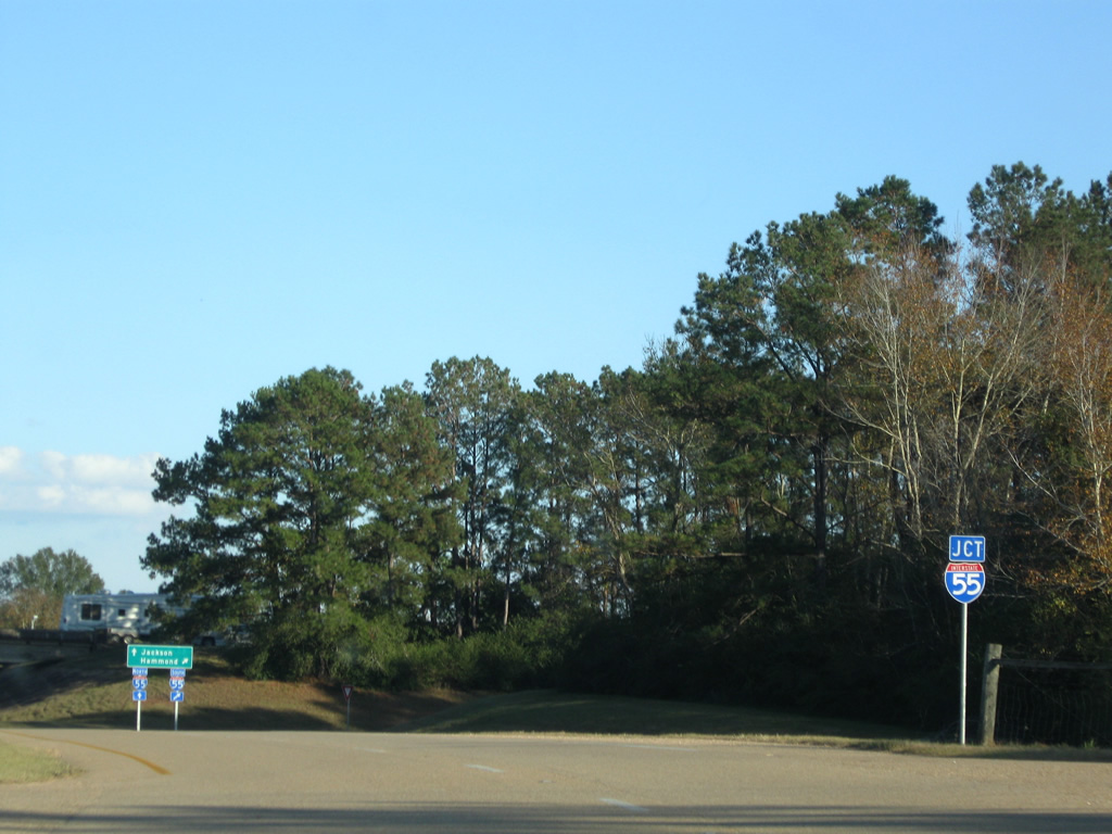
| Interstate 55 ventures south from LA 1048 to Hammond and I-10 at Laplace. 11/20/08 |
|
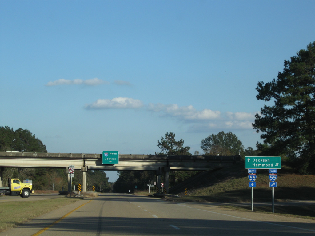
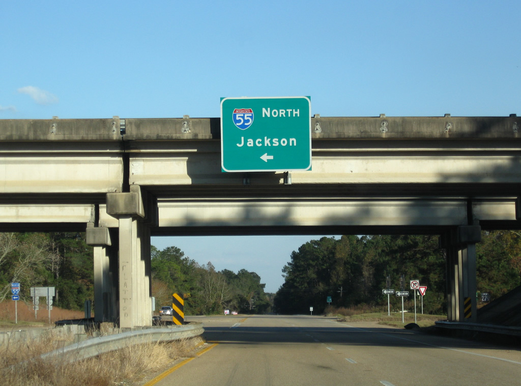
| An overhead directs travelers onto Interstate 55 north to McComb and Jackson, Mississippi from Louisiana Highway 1048 east. 11/20/08 |
|
| LA 1048 expands into a four lane divided highway within the vicinity of I-55. 11/20/08 |
|
| A narrow bridge takes LA 1048 across Natalbany Creek one half mile west of I-55. This span was built in 1967. 11/20/08 |
|
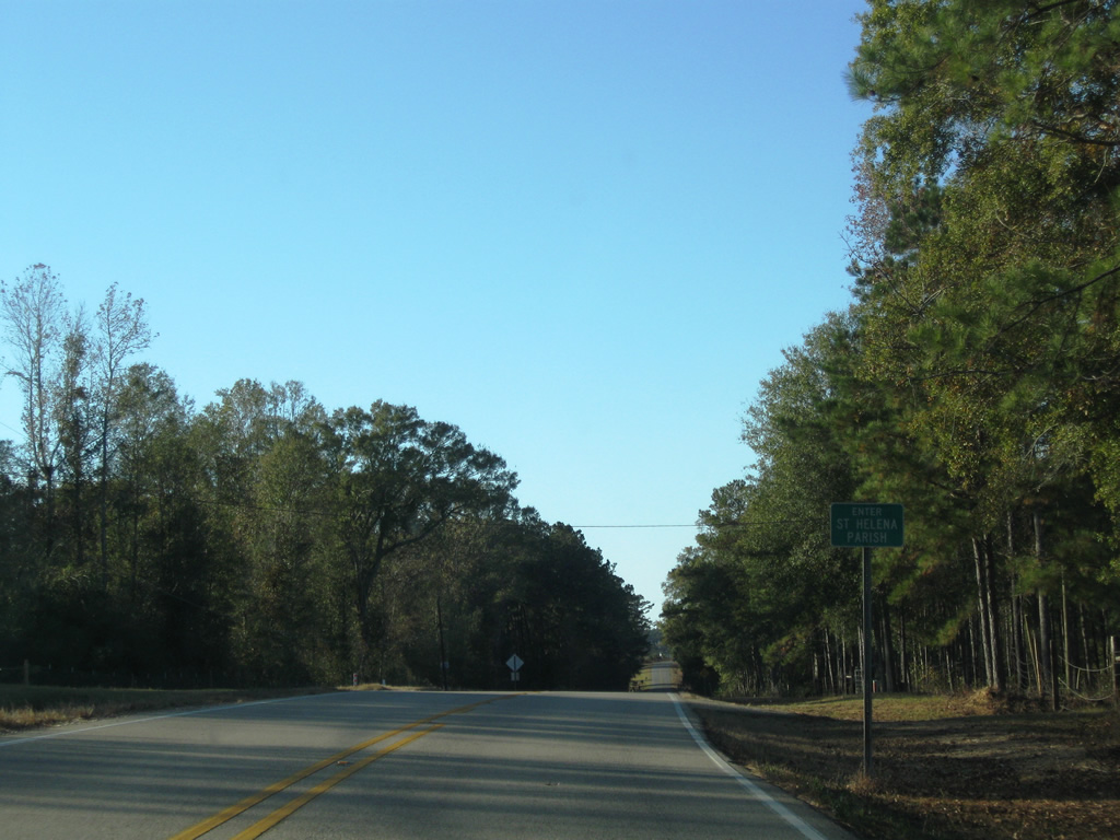
| LA 1048 enters St. Helena Parish midway between Interstate 55 and the west end at LA 1047. 11/20/08 |
Page Updated 09-24-2012.


 East
East