Blue Ridge Parkway follows the Blue Ridge Mountains of the Appalachian Mountains from the Great Smoky Mountains National Park south entrance near Cherokee, North Carolina, northeast into Virginia. Blue Ridge Parkway changes into Skyline Drive upon entering Shenandoah National Park north of I-64 and U.S. 250 at Rockfish Gap. Skyline Drive runs along the ridge of Shenandoah National Park from near Waynesboro north to U.S. 340 outside Front Royal. Built in the 1930s, on a clear day Skyline Drive affords one of the best views in all of Virginia.
|
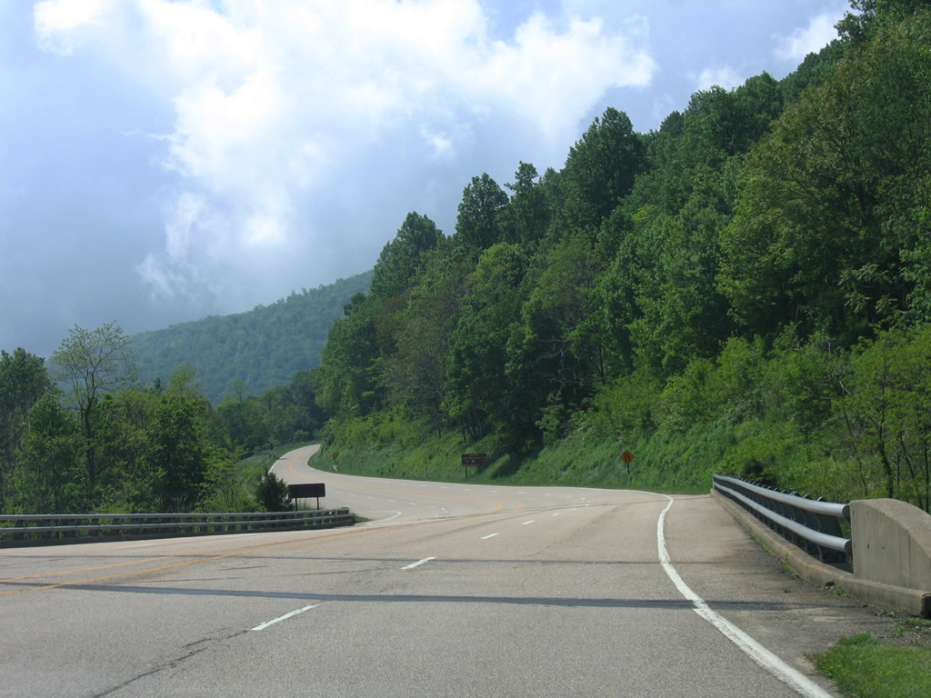
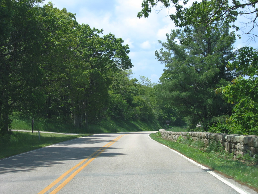
| Winding south from the one-quadrant interchange with U.S. 33 (Spotswood Trail) at Swift Run Gap along Skyline Drive southbound. 06/05/05 |
|
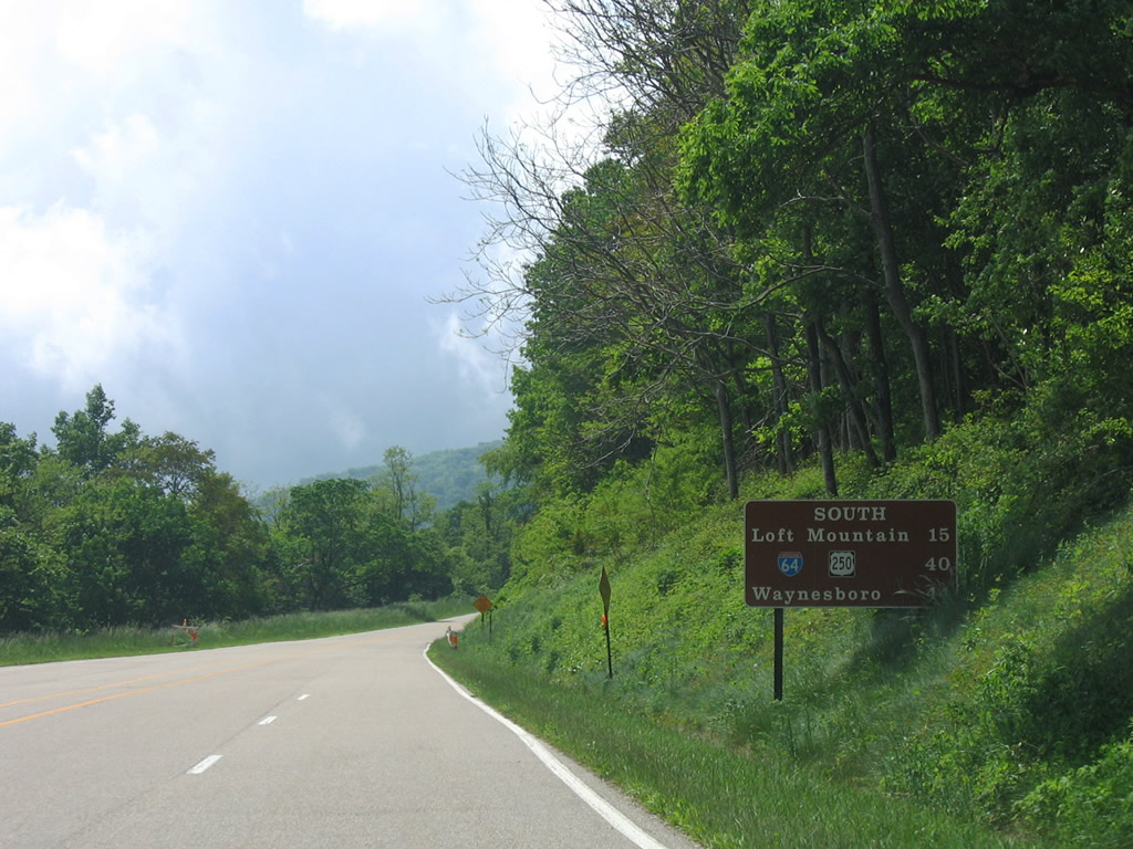
| Skyline Drive quickly reduces from four lanes at U.S. 33 to its standard two lane design. A southbound distance sign lists the distances to Loft Mountain and Interstate 64 & U.S. 250, the south transition to Blue Ridge Parkway. 06/05/05 |
|
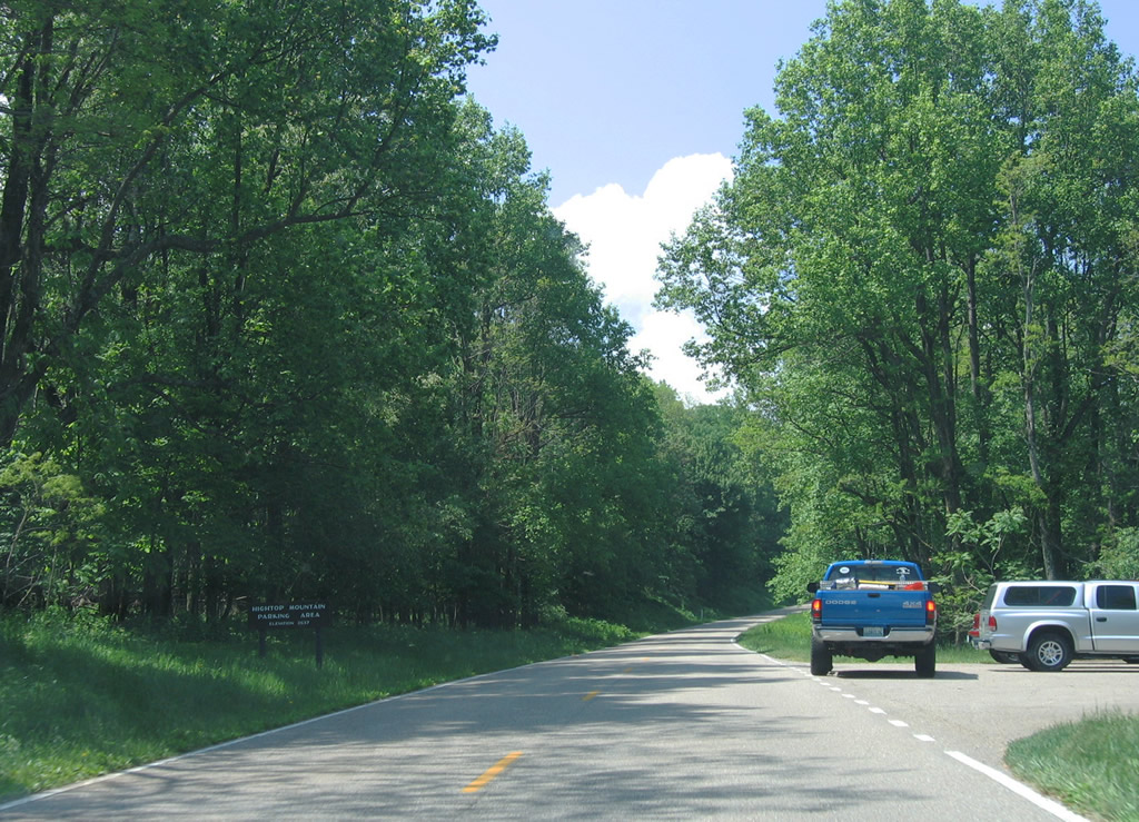
| Southbound drivers on Skyline Drive reach the Hightop Mountain parking area. The adjacent peak rises to 3,637 feet above sea level. 06/05/05 |
|
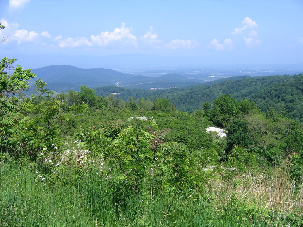
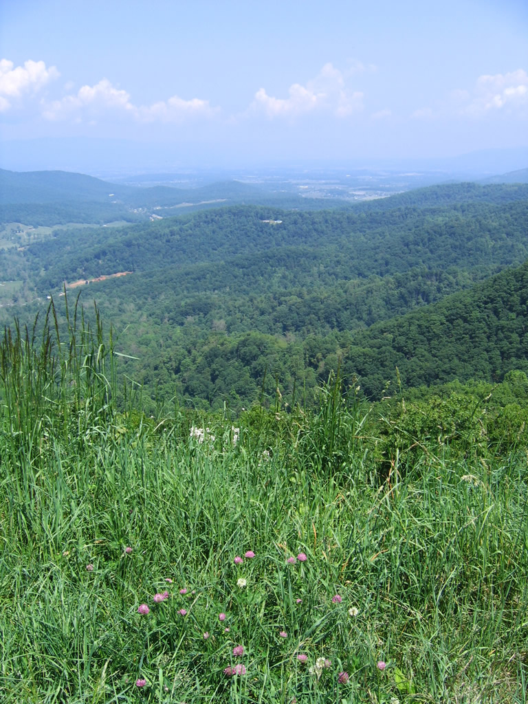
| A short distance south of Hightop Mountain is the Swift Run Overlook. Situated at 2,710 feet above sea level, the westward view looks toward Hanse Mountain, Dollys Knob, and the Swift Run valley. 06/05/05 |
|
| Skyline Drive southbound leaves Greene County again after Powell Gap. This scene looks westward near Powell Gap Hollow. 06/05/05 |
|
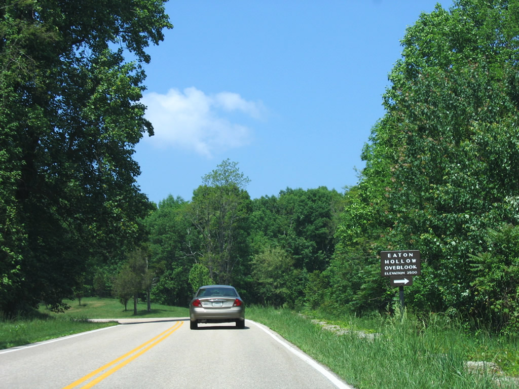
| Nearing the Eaton Hollow Overlook, a westward facing pull-off south of Eaton Hollow and east of Rocky Mount. The location is 2,500 feet above sea level. 06/05/05 |
|
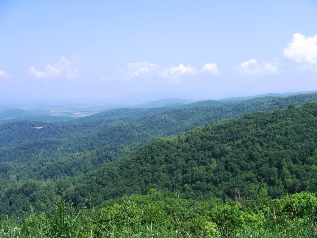
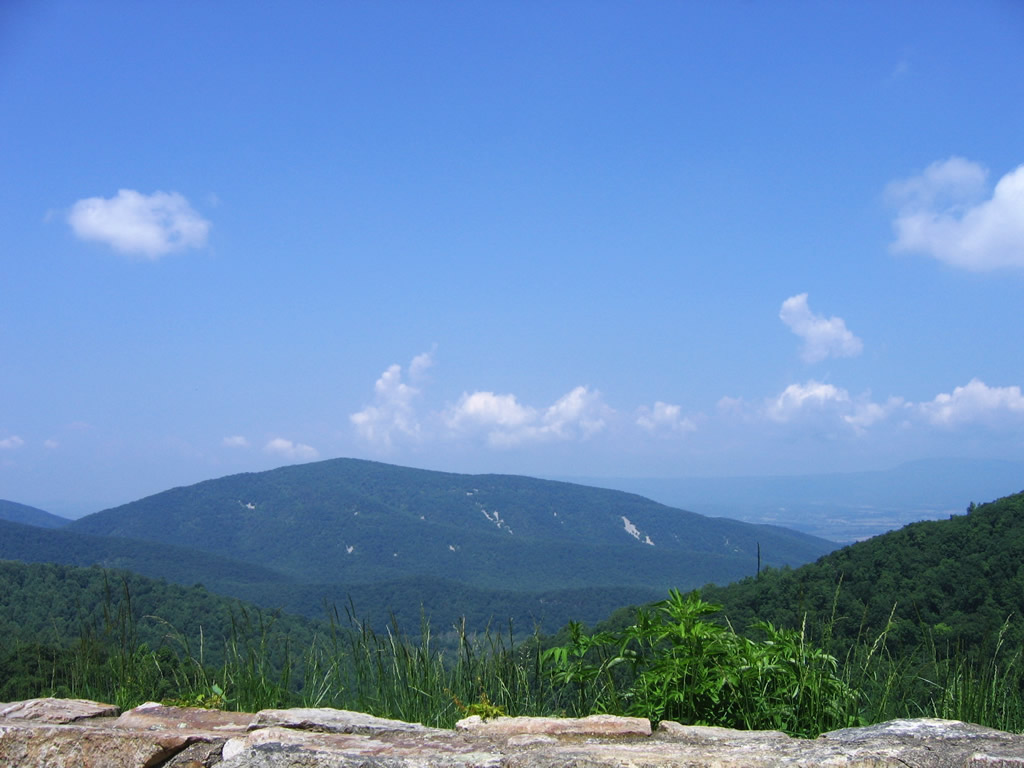
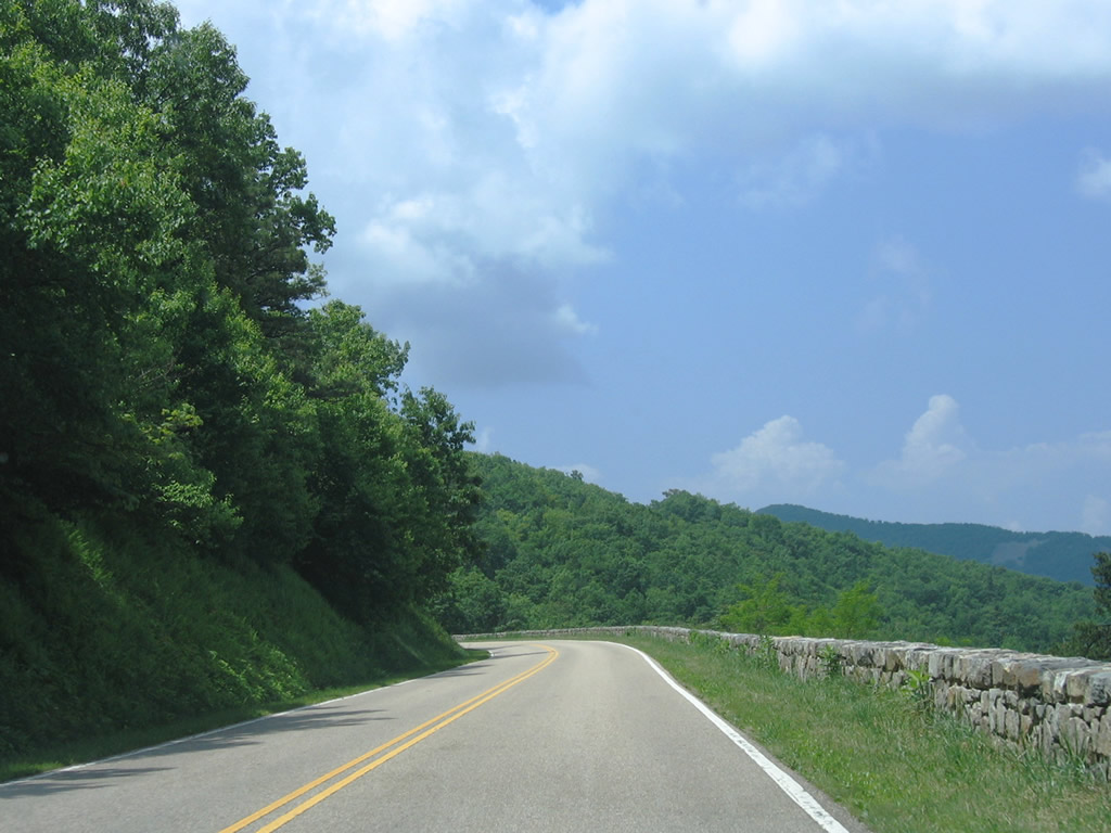
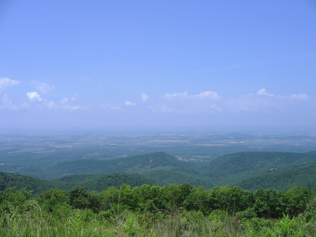
| Continuing southward, Skyline Drive reaches Rocky Mount Overlook (elevation 2,450 feet) next. Rocky Mount lies northwest of Powell Gap between Skyline Drive and the Shenandoah River. Massanutten Mountain is visible west of the river valley. 06/05/05 |
|
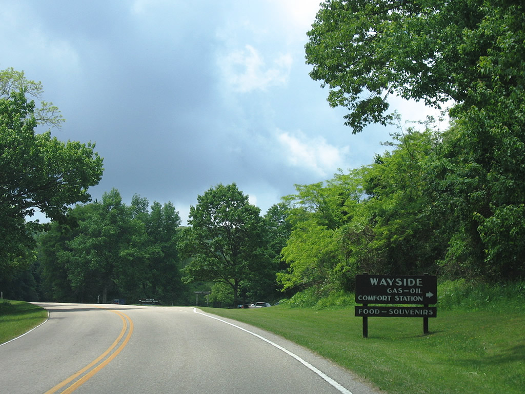
| Skyline Drive south nips the northern corner of Albemarle County before crossing back into Rockingham County at the Loft Mountain acces road and Loft Mountain Comfort Station. The NPS-run facility provides restroom facilities, educational exhibits, a restaurant, and fueling pumps. 06/05/05 |
|
| Next in line for southbound drivers is the Big Run Overlook (elevation 2,860 feet). 06/05/05 |
|
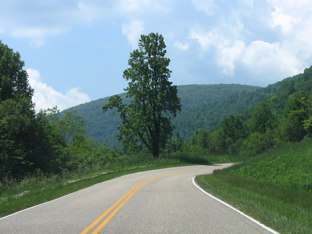
| A look at the scenery along Skyline Drive southbound through the Browns Gap area. 06/05/05 |
|
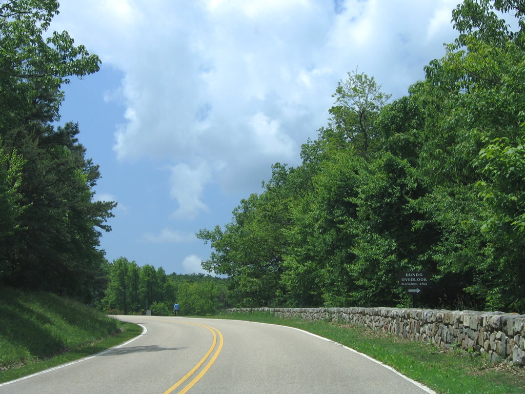
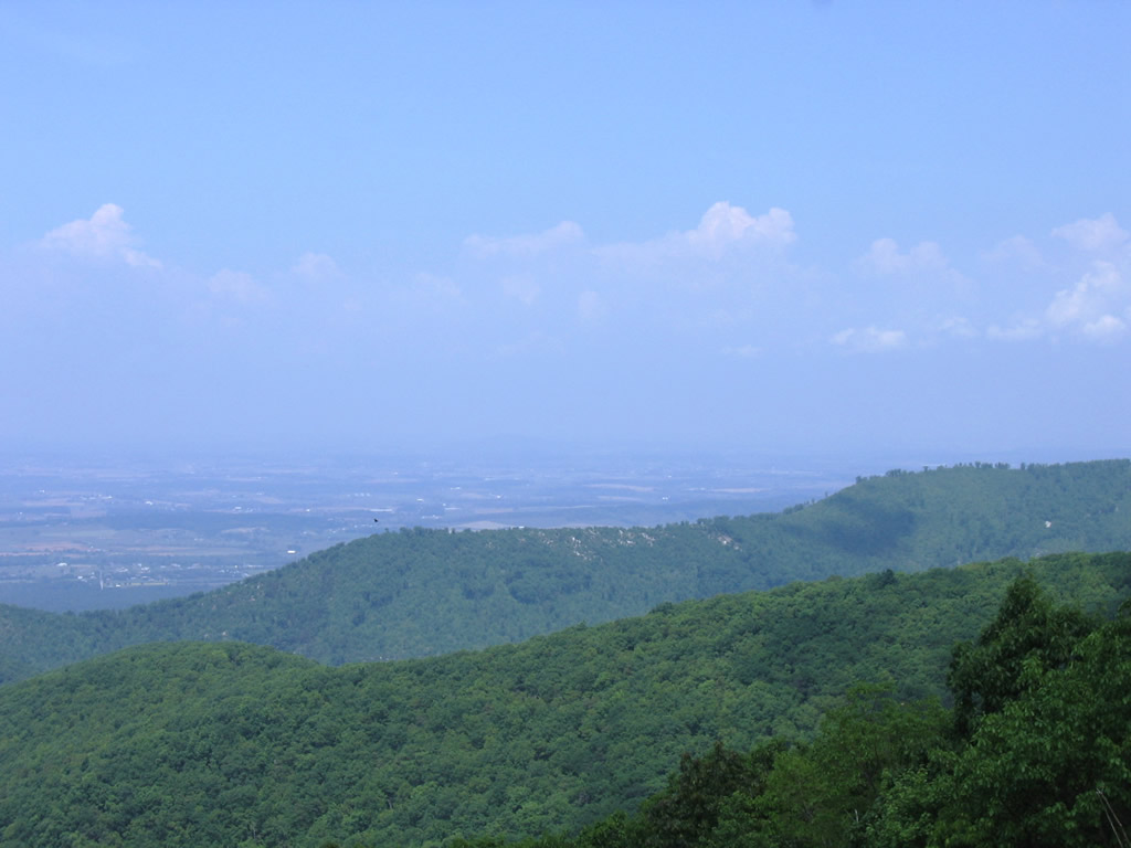
| Straddling the Rockingham and Albemarle County line, motorists next reach the Dundo Overlook (elevation 2,765 feet). Furnace Mountain rises to the west and Trayfoot Mountain to the south. 06/05/05 |
|
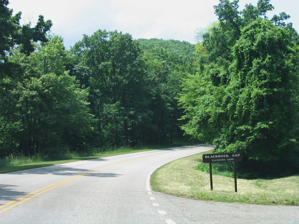
| Blackrock Gap lies at the tri-point of Rockingham, Albemarle, and Augusta Counties east of Blackrock Springs at an elevation of 2,330 feet. 06/05/05 |
|
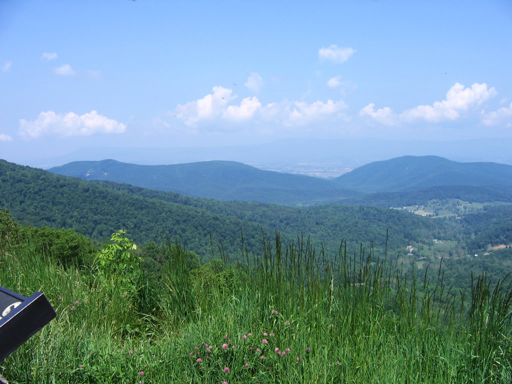
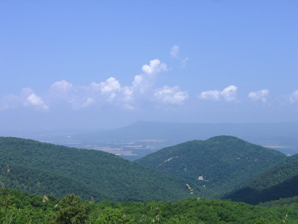
| Views from the Horsehead Overlook (elevation 2,575 feet) of Skyline Drive. Visible from south to north are Rocks, Horsehead and Trayfoot Mountains. 06/05/05 |
|
| Exiting Skyline Drive at the relocated Rockfish Gap pay station to the National Park. The original facility lied a short distance north of this scene. See the National Park web site for a schedule of fees. 06/05/05 |
|
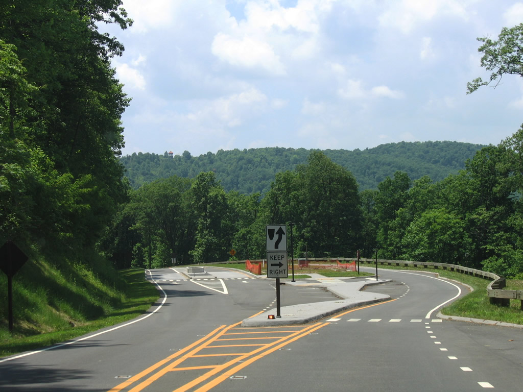
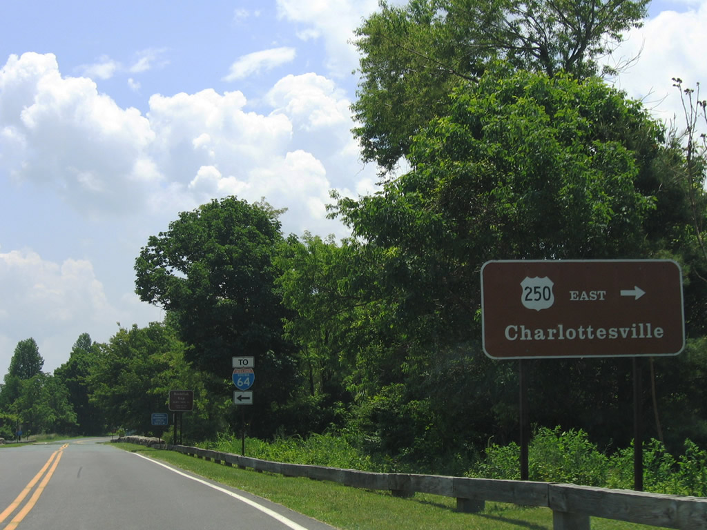
| Descending into Rockfish Gap and approaching the junction with U.S. 250 (Rockfish Gap Turnpike). U.S. 250 interchanges with Interstate 64 just west of Skyline Drive. 06/05/05 |
|
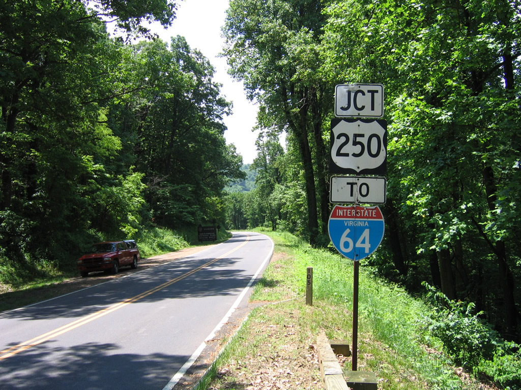
| A connector road joins Skyline Drive with U.S. 250 west (north) leading into the city of Waynesboro. South of the junction with U.S. 250, Skyline Drive directly transitions into the southbound beginning of the Blue Ridge Parkway. 06/05/05 |
|
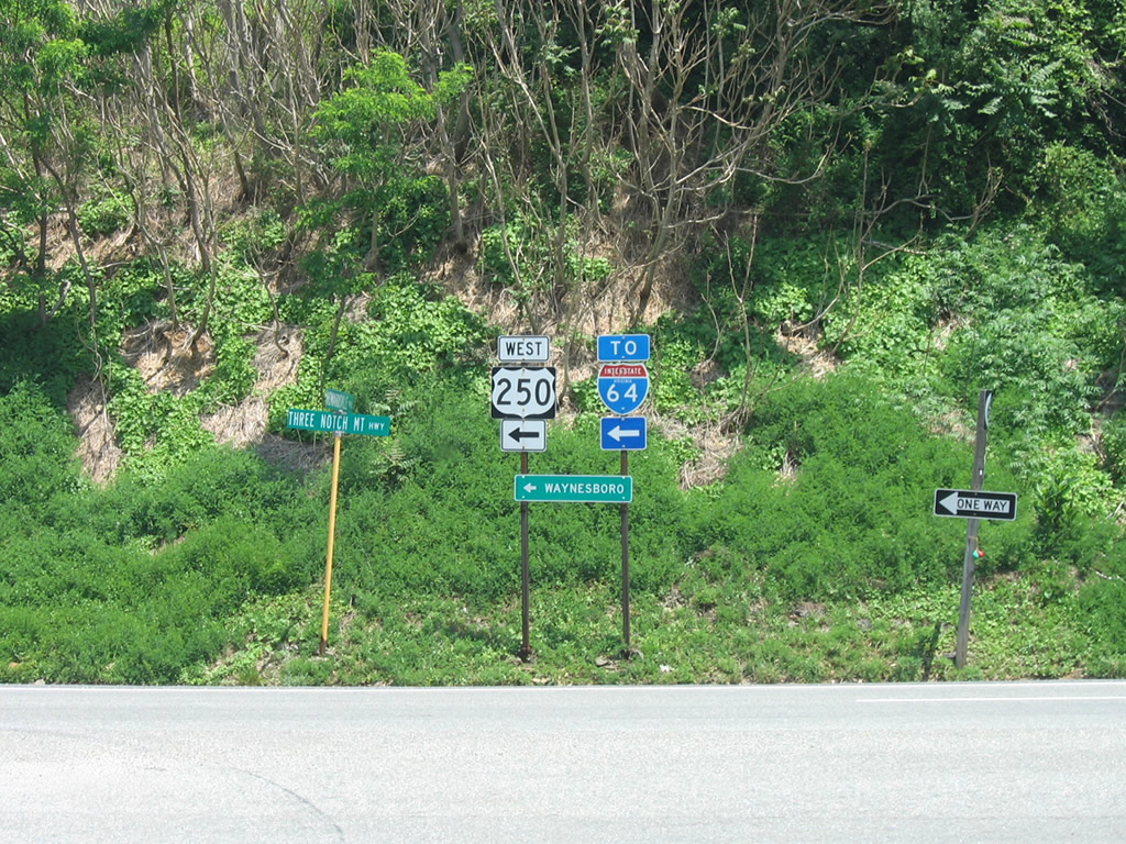
| Drivers bound for U.S. 250 east are directed onto SR 610 (Howardsville Turnpike) to reach Rockfish Gap Turnpike. A tourist information center resides in the nearby. 06/05/05 |
|
| The connecting road to U.S. 250 west provides access to eastbound as well. Interstate 64 travels west from Exit 99 12 miles to Interstate 81 at Staunton and 20 miles east to Charlottesville. 06/05/05 |
Page Updated 03-03-2010.