|
| Continuing north from SR 6/100 (Glenwood Avenue) in Smyrna, U.S. 13 (Dupont Boulevard) passes Smyrna Mart shopping center ahead of Duck Creek. 12/18/22 |
|
| U.S. 13 (Dupont Boulevard) leaves the town of Smyrna north across Duck Creek. 12/18/22 |
|
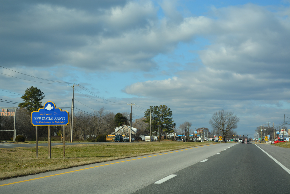
| The New Castle County line follows Duck Creek west to Providence Creek and east to the Smyrna River. 12/18/22 |
|
| Paddock Road (Road 30) arcs 5.13 miles east from U.S. 13 to Walker, Chambersville and SR 9 on Thoroughfare Neck. 12/18/22 |
|
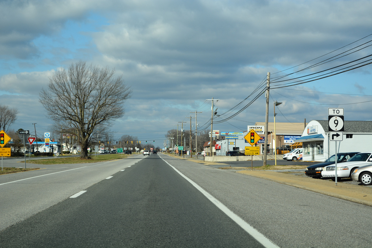
| Paddock Road south intersects U.S. 13 across from Joe Goldsborough Road (Road 487) west 0.49 miles to Duck Creek Road (Road 486). 12/18/22 |
|
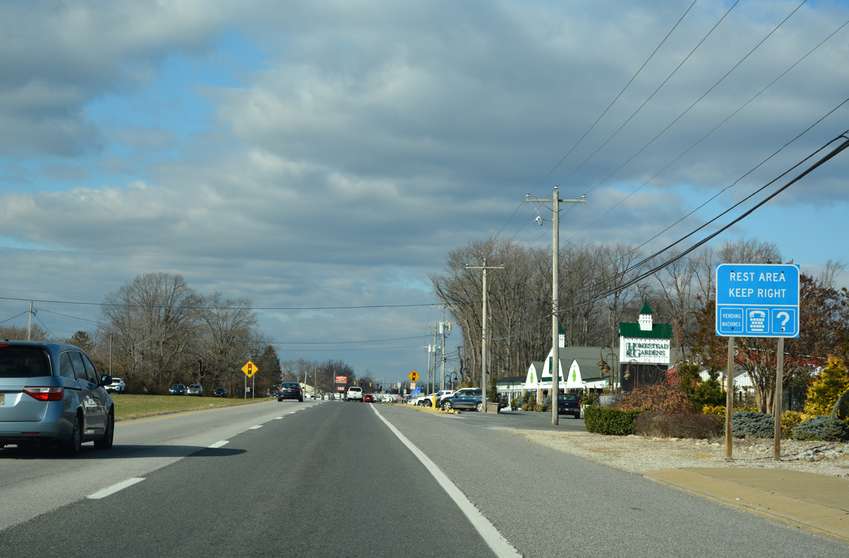
| The Smyrna Rest Area serves travelers along both U.S. 13 (Dupont Parkway) and adjacent SR 1 (Korean War Veterans Memorial Highway). 12/18/22 |
|
| The Smyrna Rest Area predates construction of the toll road along SR 1. 12/18/22 |
|
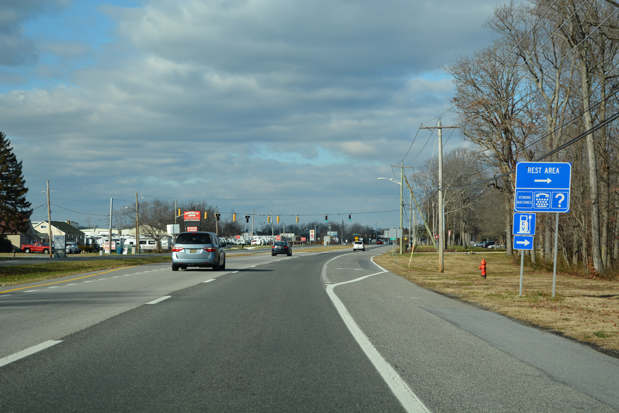
| A parclo B2 interchange (Exit 119) links SR 1 with U.S. 13 (Dupont Parkway) just north of the Smyrna Rest Area. 12/18/22 |
|
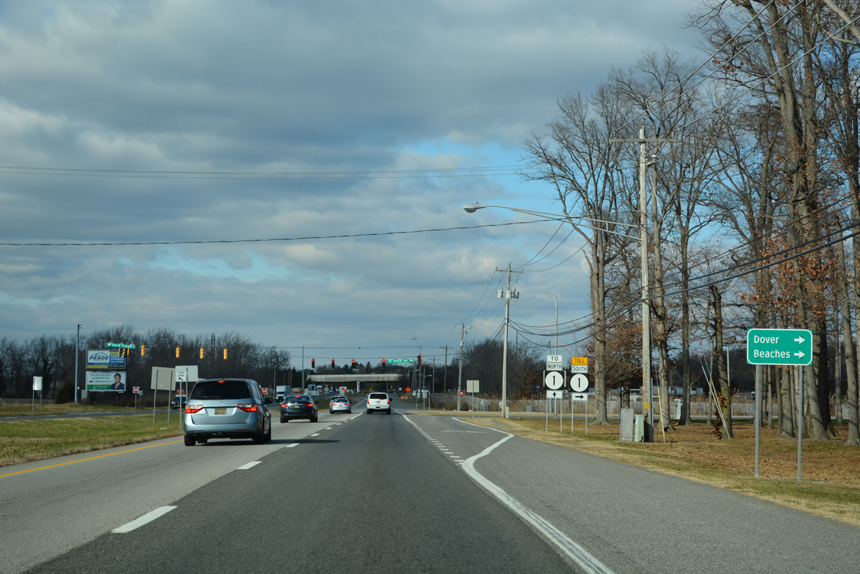
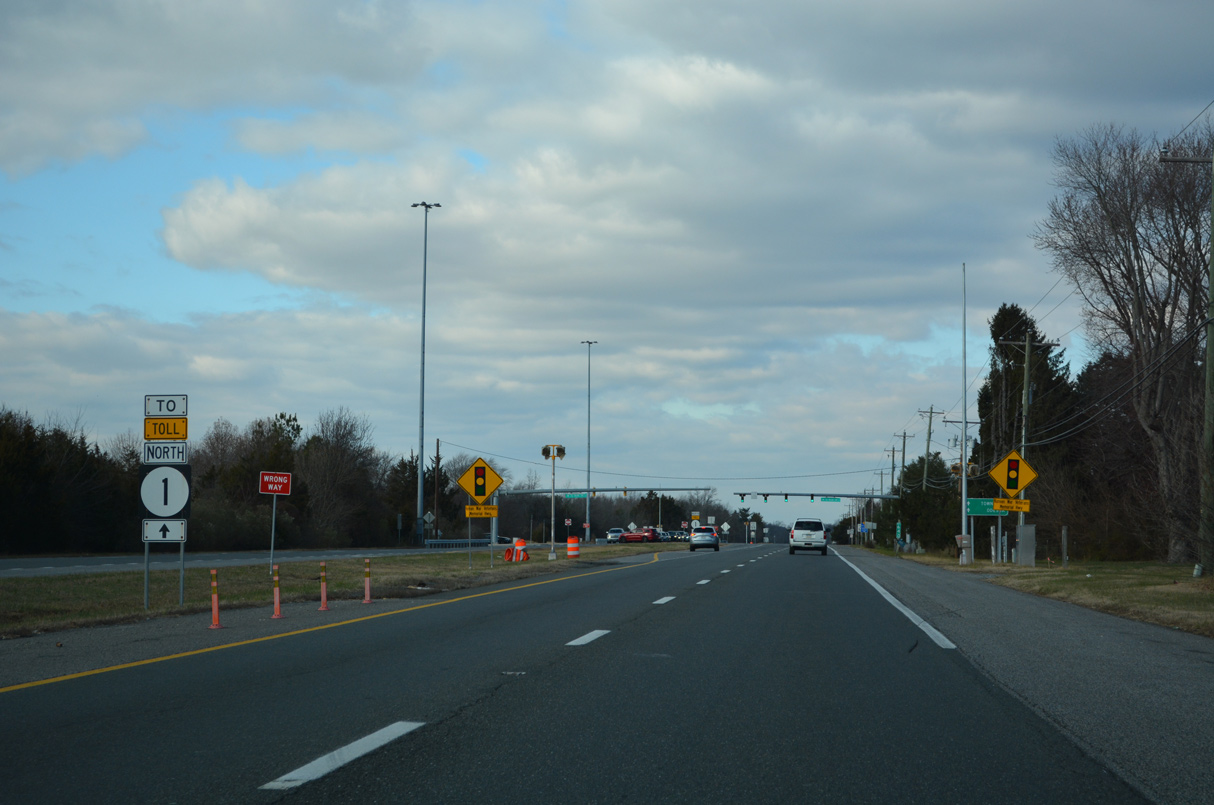
| The entrance ramp for SR 1 south to Dover and Rehoboth Beach departs from U.S. 13 across from Duck Creek Road (Road 486). 12/18/22 |
|
| Duck Creek Road arcs 1.31 miles south from U.S. 13/SR 1 to N Main Street in the town of Smyrna by Duck Creek Pond. 12/18/22 |
|
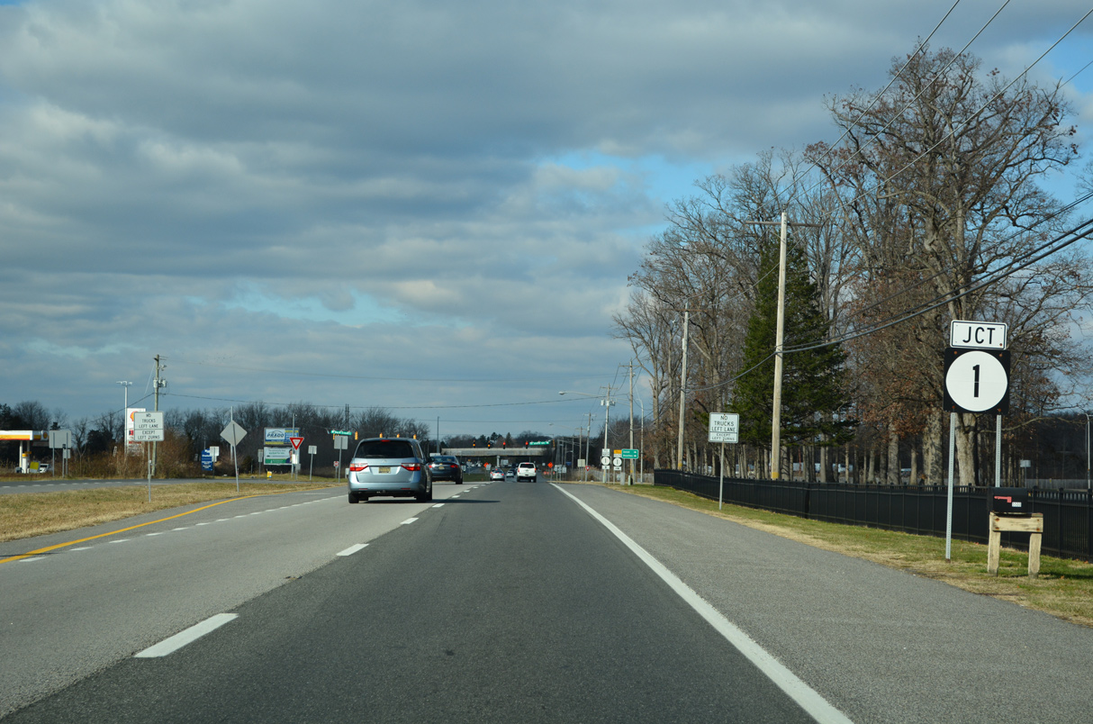
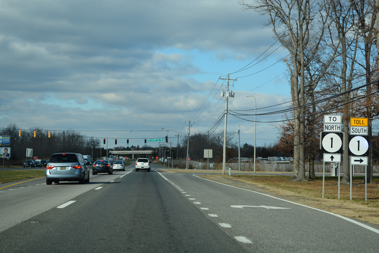
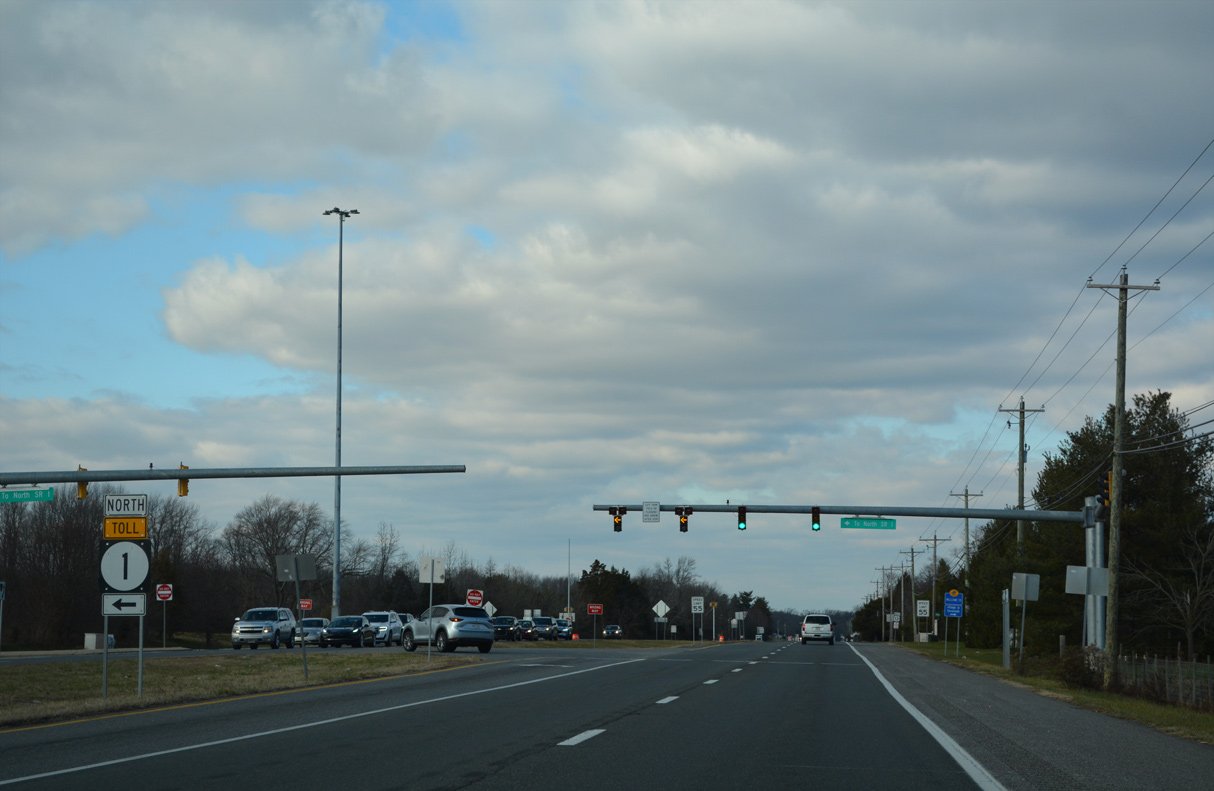
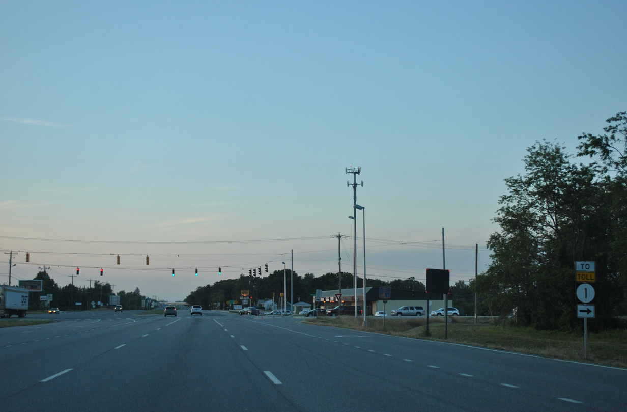
| Advancing north through the exchange with SR 1, U.S. 13 (Dupont Parkway) intersects Smyrna Landing Road (Road 485) east ahead of the northbound entrance ramp for the toll road. 12/18/22 |
|
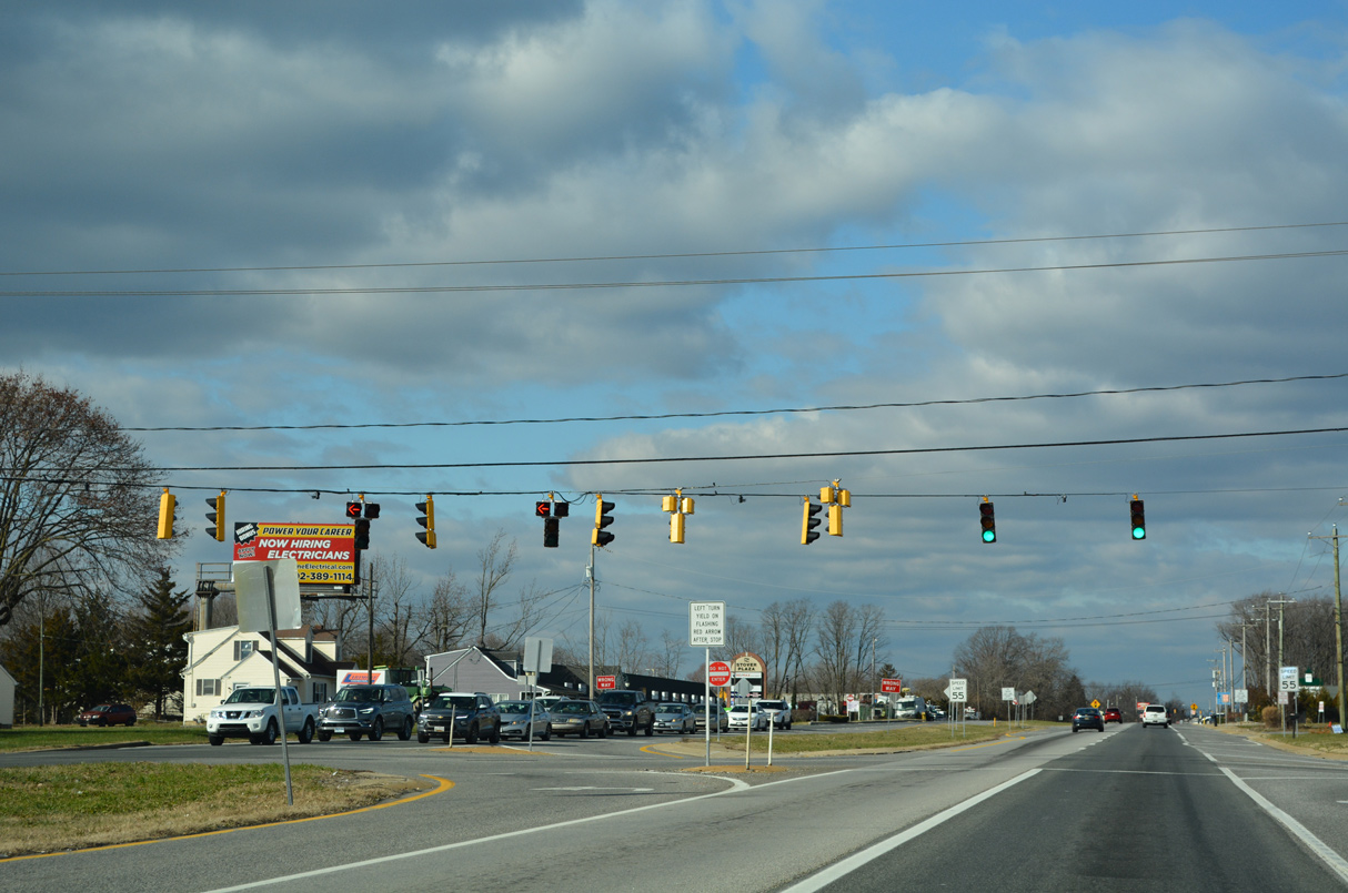
| Traffic lights were added along U.S. 13 at the northbound entrance ramp for SR 1 north at Exit 119 in 2016. 12/18/22 |
|
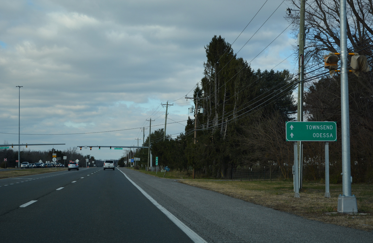
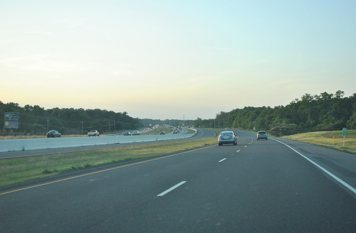
| U.S. 13 and SR 1 parallel one another north past Townsend to Odessa without direct access. 12/18/22 |
|
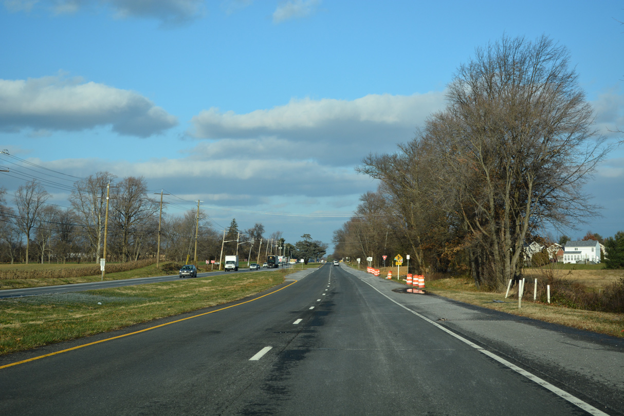
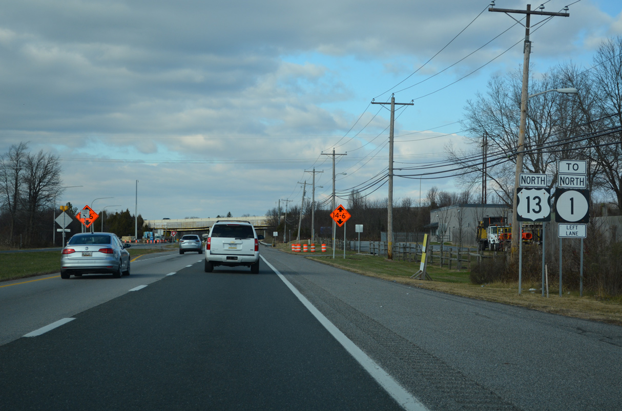
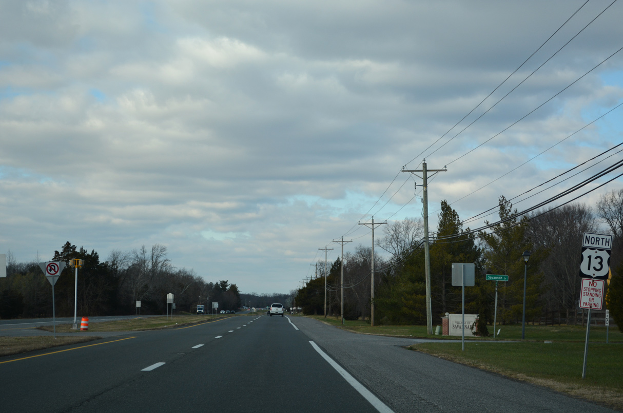
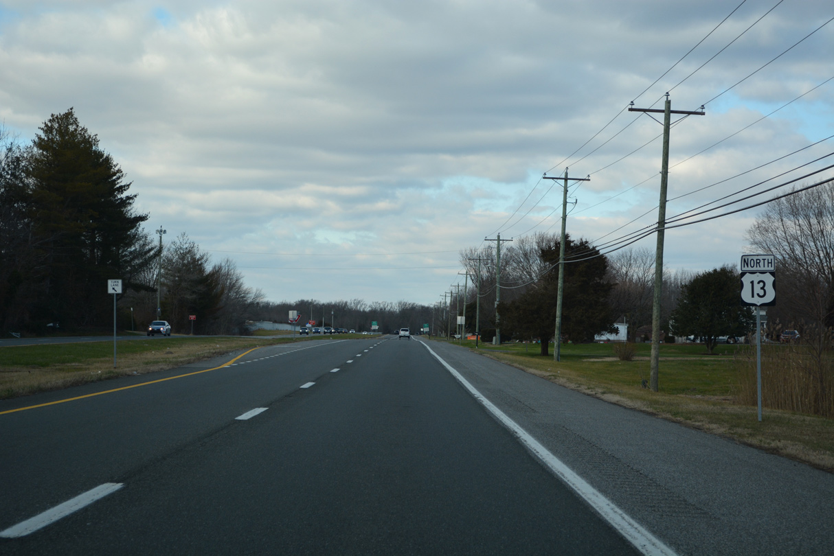
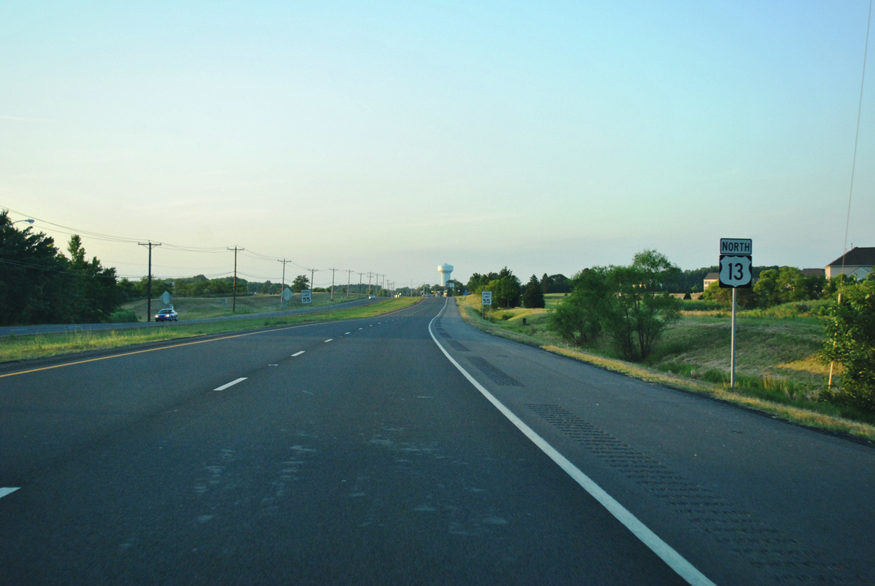
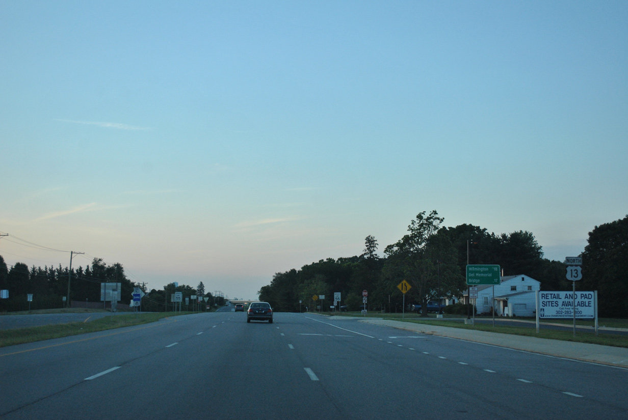
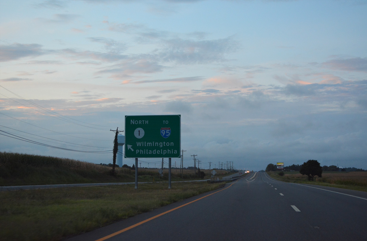
| U.S. 13 remains away from the suburban expansion through southern New Castle County north until Fieldsboro Road (Road 452). Two reassurance markers are posted beyond the ramps with SR 1 north. 12/18/22 |
|
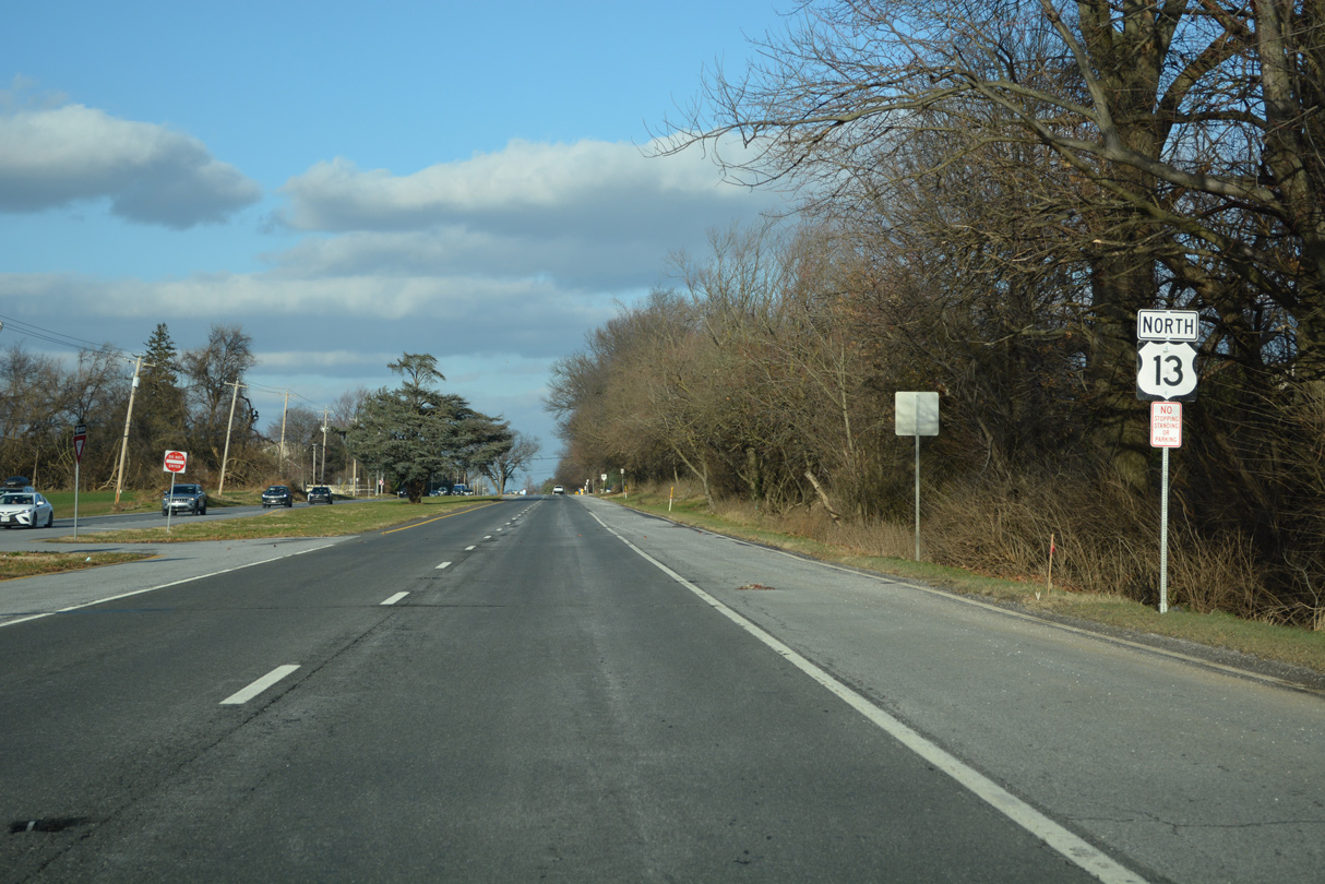
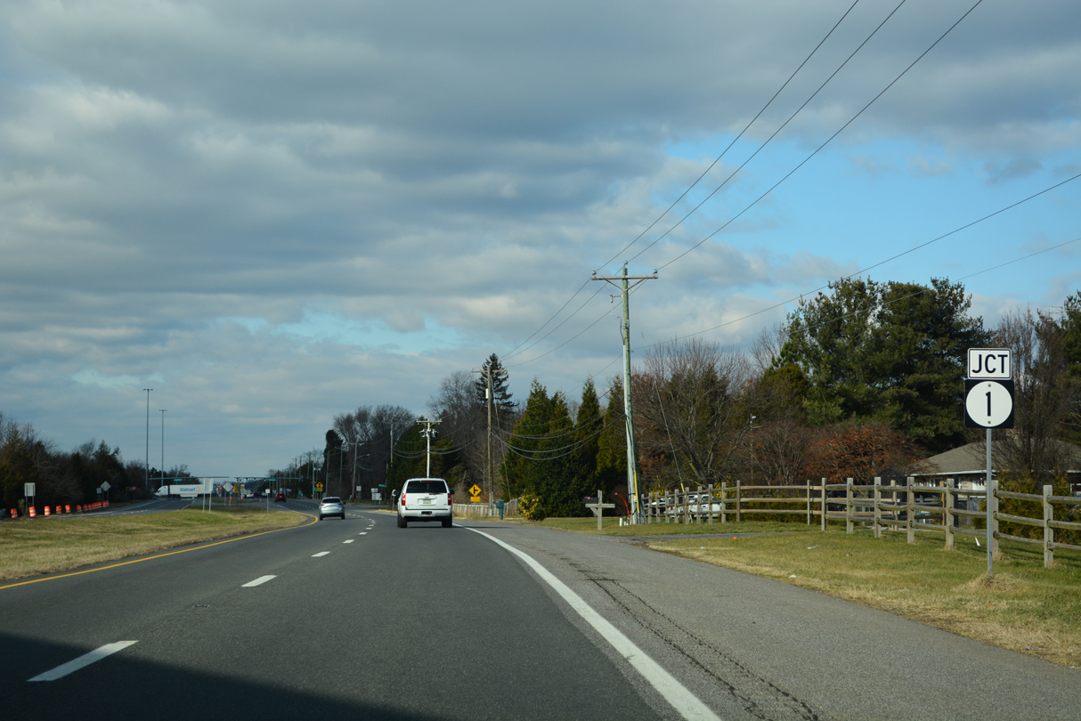
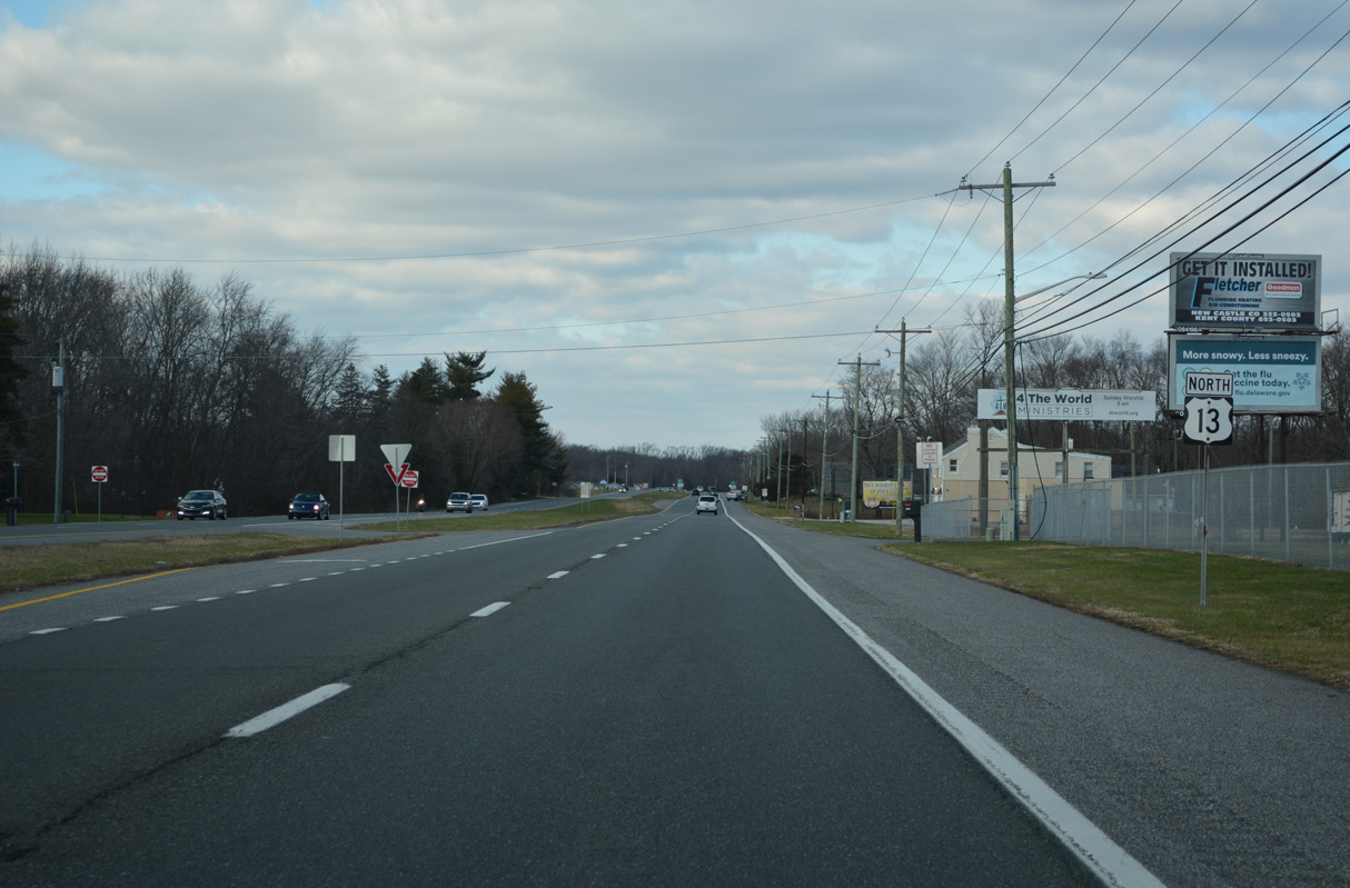
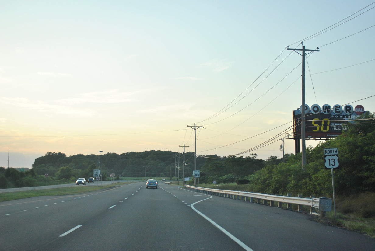
| Black Diamond Road (Road 469) angles 2.17 miles northwest from Walker to intersect U.S. 13 just beyond this shield assembly. 12/18/22 |
|
| This U.S. 13 northbound reassurance shield precedes Alisha Drive. 12/18/22 |
|
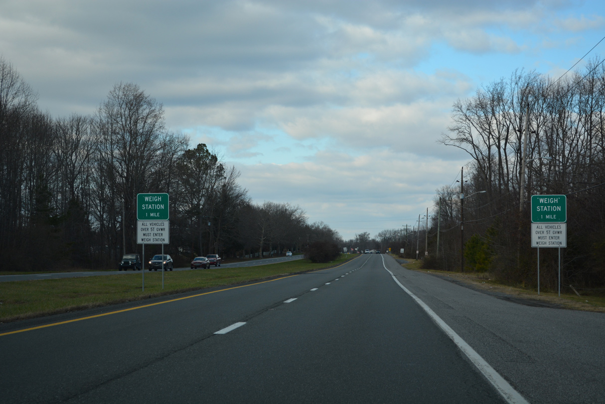
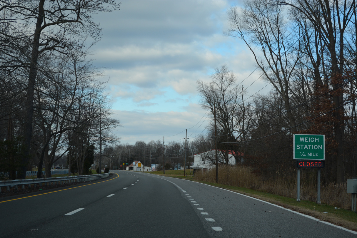
| A north side weigh station operates along U.S. 13 beyond Anchor Inn Road (Road 495). 12/18/22 |
|
| Comprising a 0.47 mile long loop along the east side of U.S. 13, Anchor Inn Road (Road 495) is a former alignment of the US highway. 12/18/22 |
|
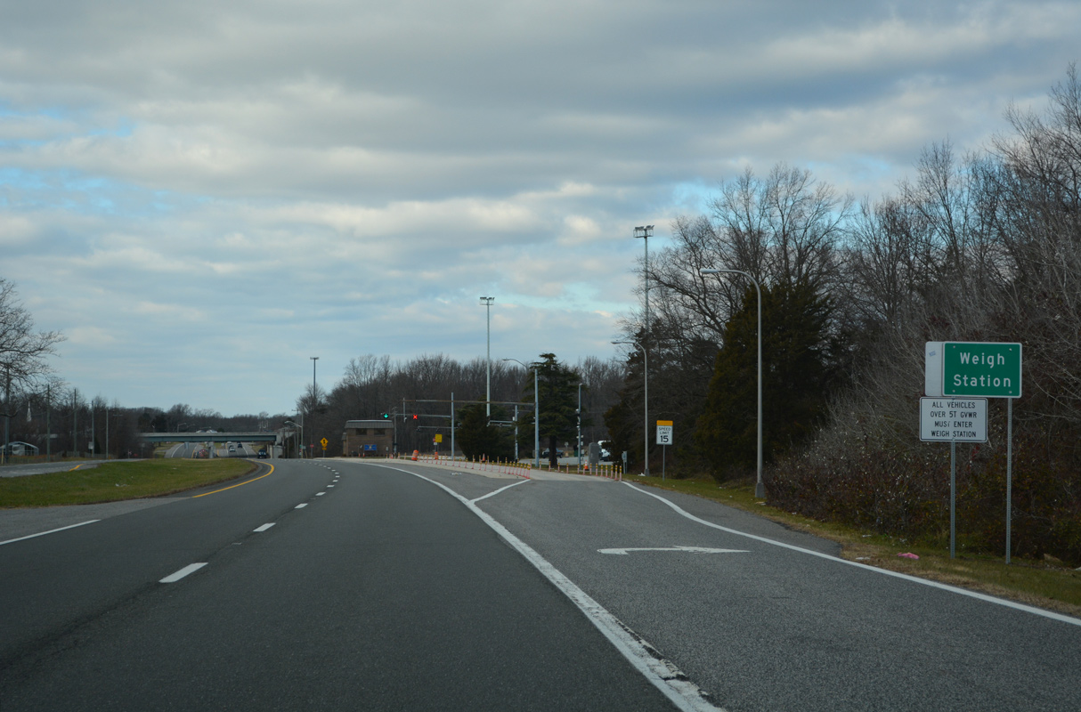
| The weigh station precedes a cross over of the SR 1 toll road by Eagles Nest Landing Road (Road 465). 12/18/22 |
|
| U.S. 13 crosses over Sandom Branch adjacent to SR 1 and the community of Blackbird. 12/18/22 |
|
| Blackbird Forest Road (Road 471) angles 5.64 miles southwest from U.S. 13 at Blackbird to Blackbird State Forest and Holletts Corner Road in Kent County. 12/18/22 |
|
| U.S. 13 (Dupont Parkway) north lowers to span Blackbird Creek. 12/18/22 |
|
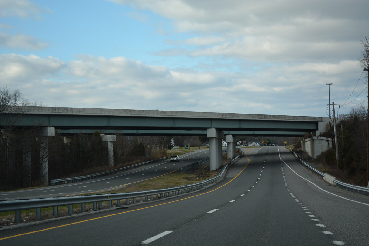
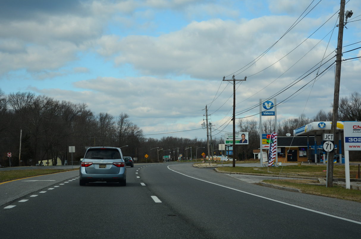
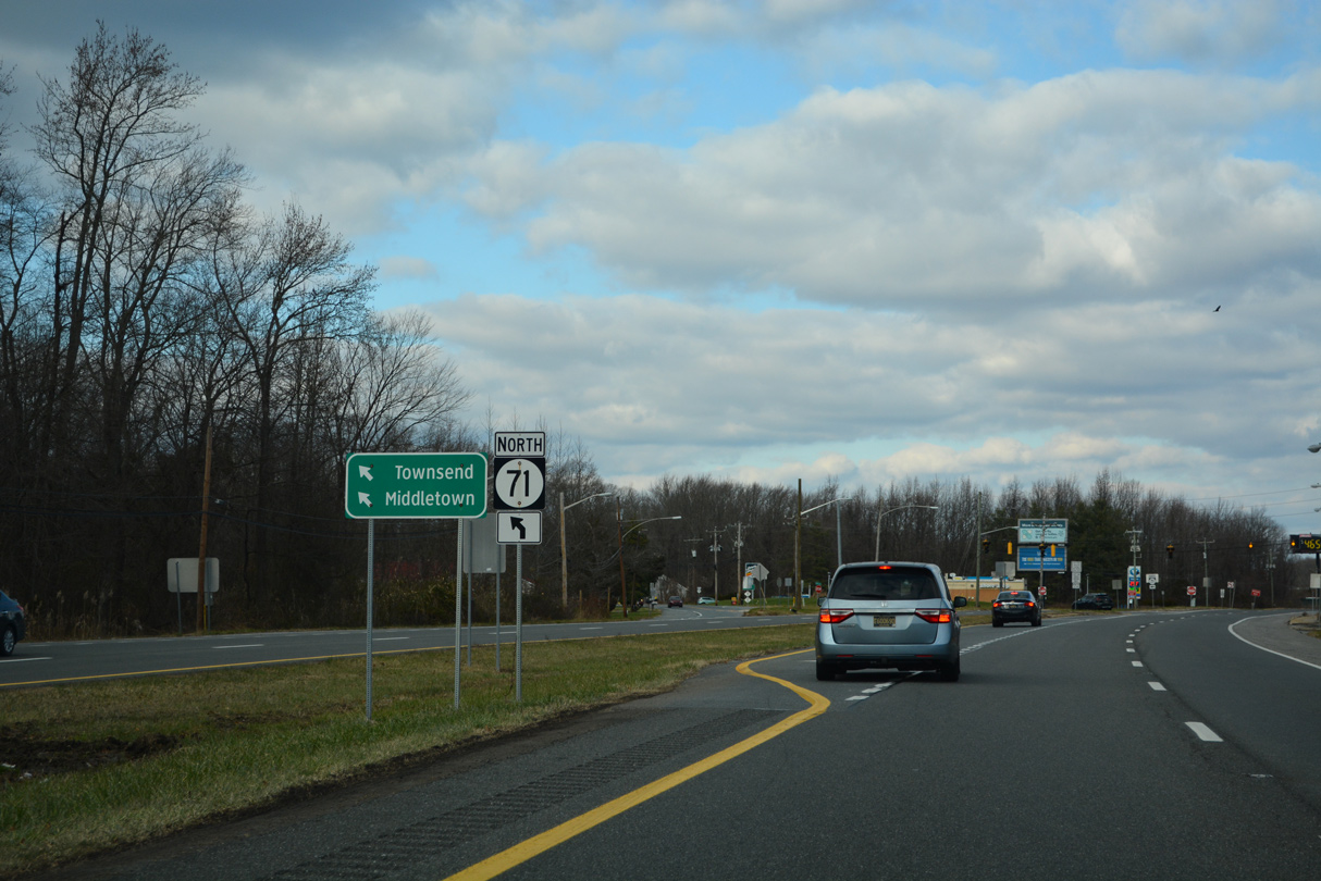
| Curving west of SR 1 through Blackbird, U.S. 13 spans the Barlow Branch of Blackbird Creek ahead of SR 71 (Summit Bridge Road). 12/18/22 |
|
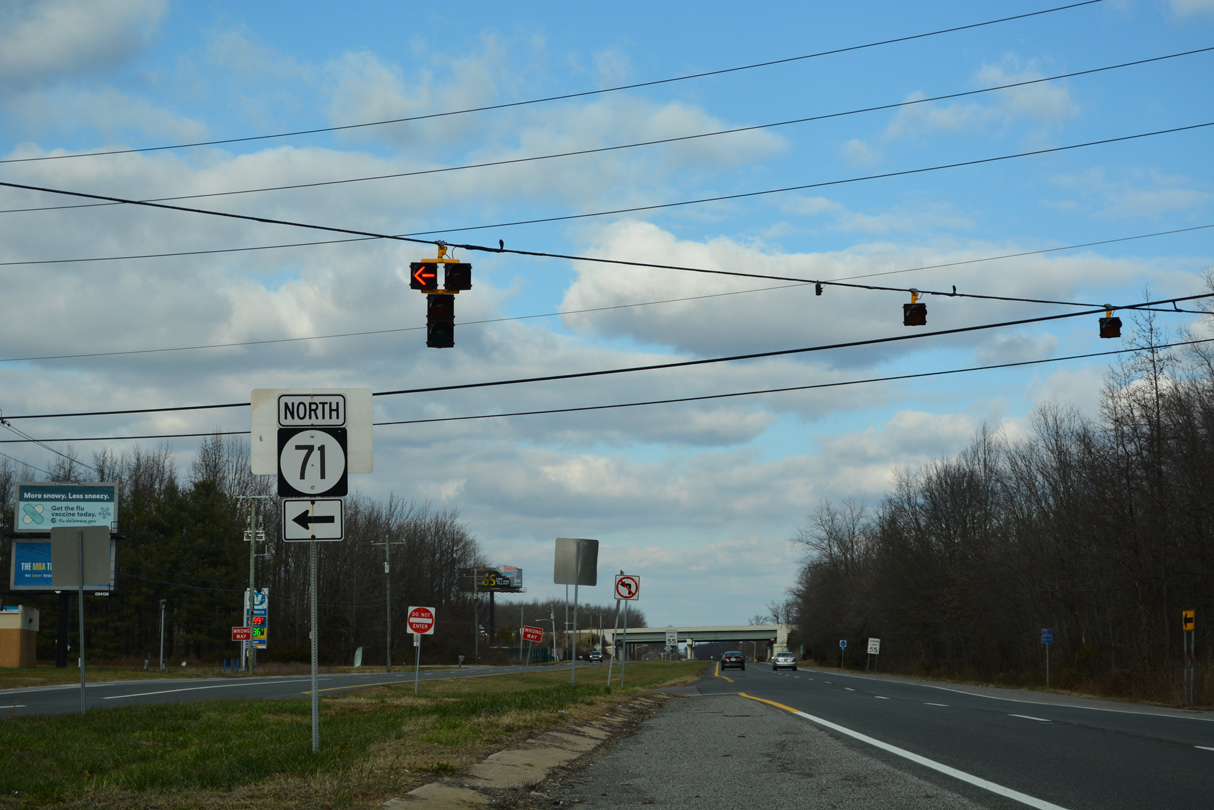
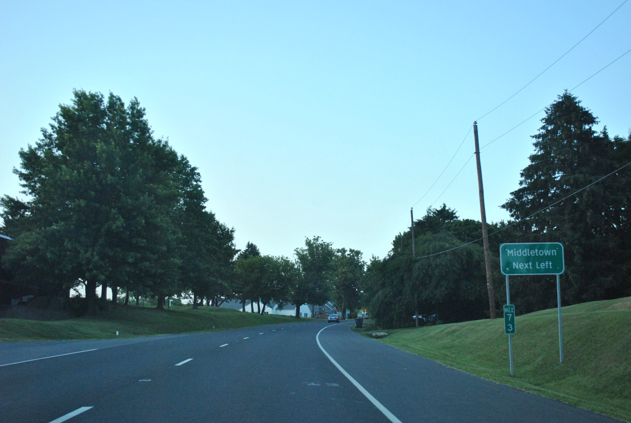
| SR 71 angles northwest toward the town of Townsend. Staying to the east of the rural community, SR 71 continues north to become Broad Street through Downtown Middletown. 12/18/22 |
|
| SR 71 runs for 22 miles in a loop west from U.S. 13 through Middletown and across the Summit Bridge before returning to U.S. 13 via Kirkwood at Tybouts Corner. 12/18/22 |
|
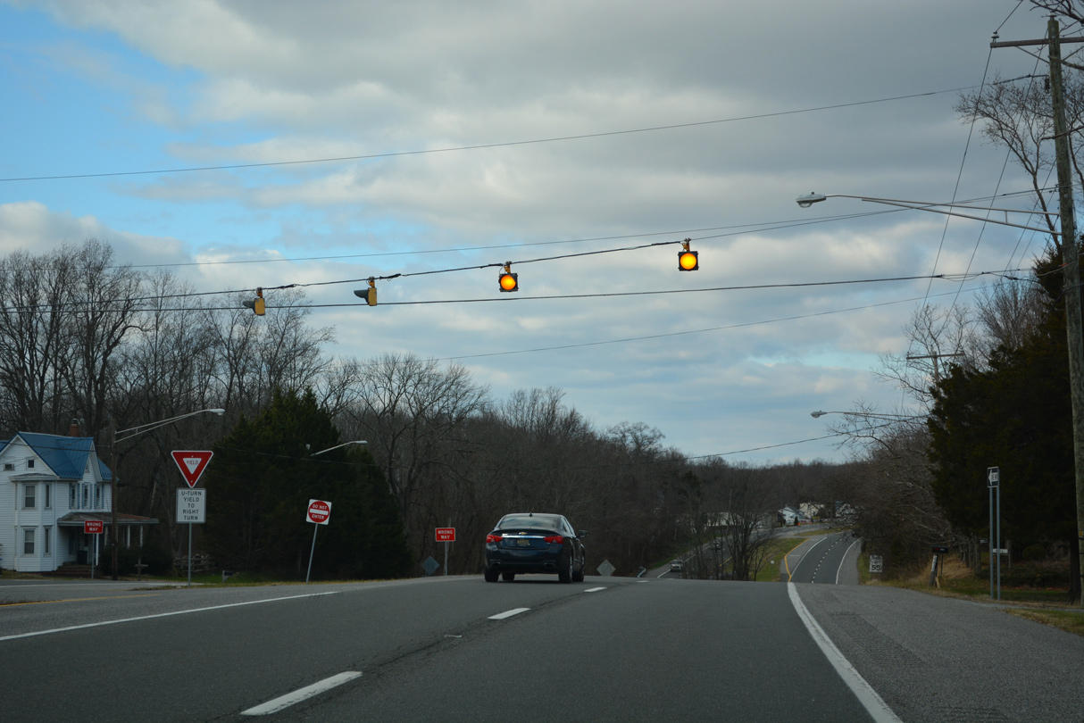
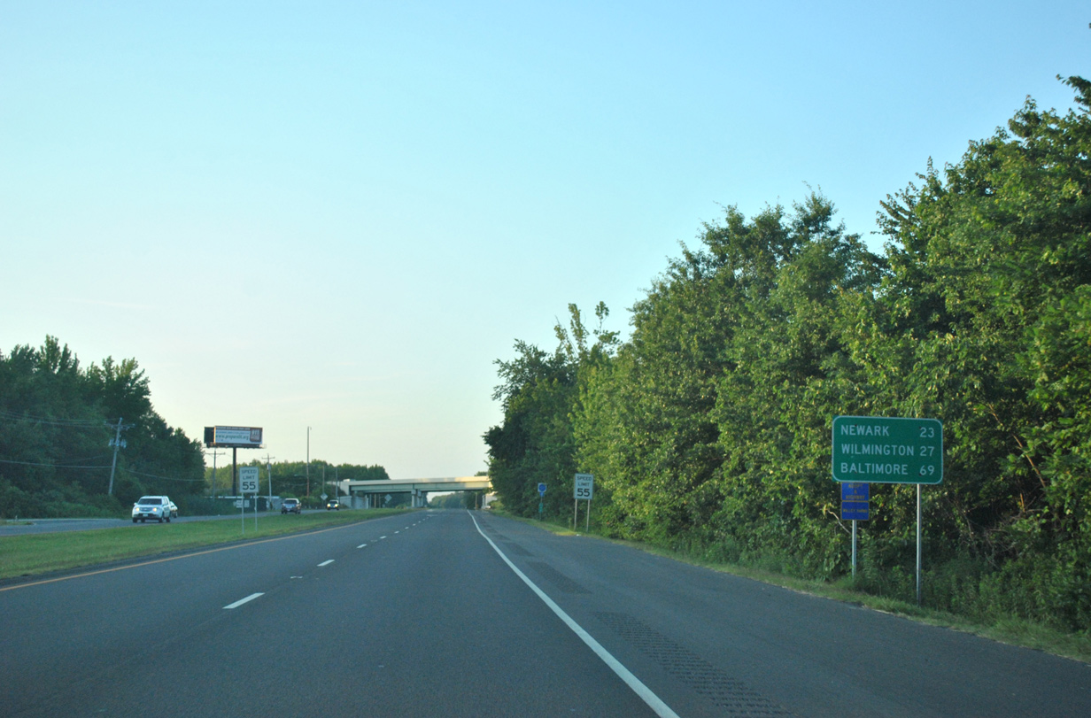
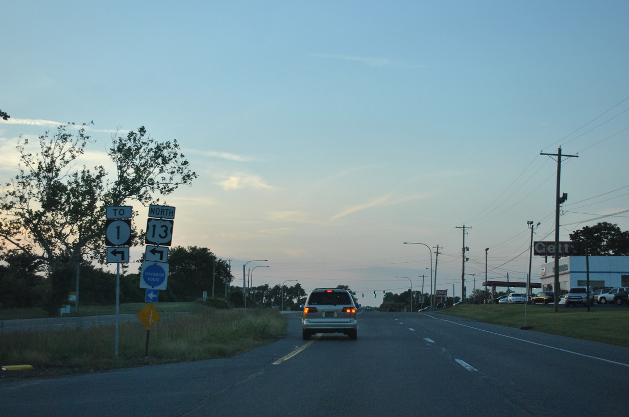
| U.S. 13 and SR 1 again switch sides as Dupont Parkway leaves SR 71 and H & H Corner. A distance sign posted here references connections with SR 72 and U.S. 40 for Baltimore and Newark respectively. 06/17/12 |
|
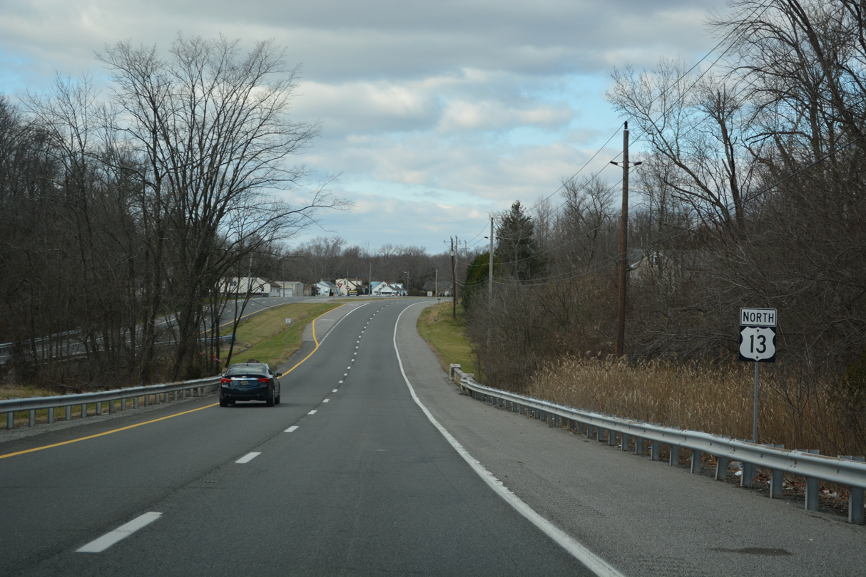
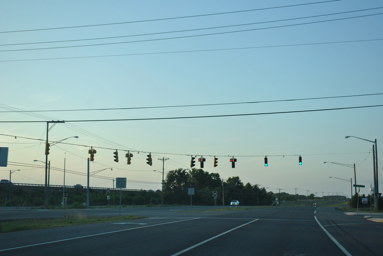
| U.S. 13 north intersects Blackbird Landing Road west and Pine Tree Road east at Pine Tree Corners. Pine Tree Road leads west to Townsend while Blackbird Landing Road extends the road southeast to Naylors Corner. 06/17/12 |
|
| North from Pine Tree Corners, U.S. 13 (Dupont Parkway) becomes more suburban with numerous subdivisions built to the east. 06/17/12 |
|
| U.S. 13 (DuPont Highway) shifted east of its original alignment at Fieldsboro to accommodate the alignment of the SR 1 toll road. The two highways parallel each other closely within the vicinity of the Old State Road intersection. 06/17/12 |
|
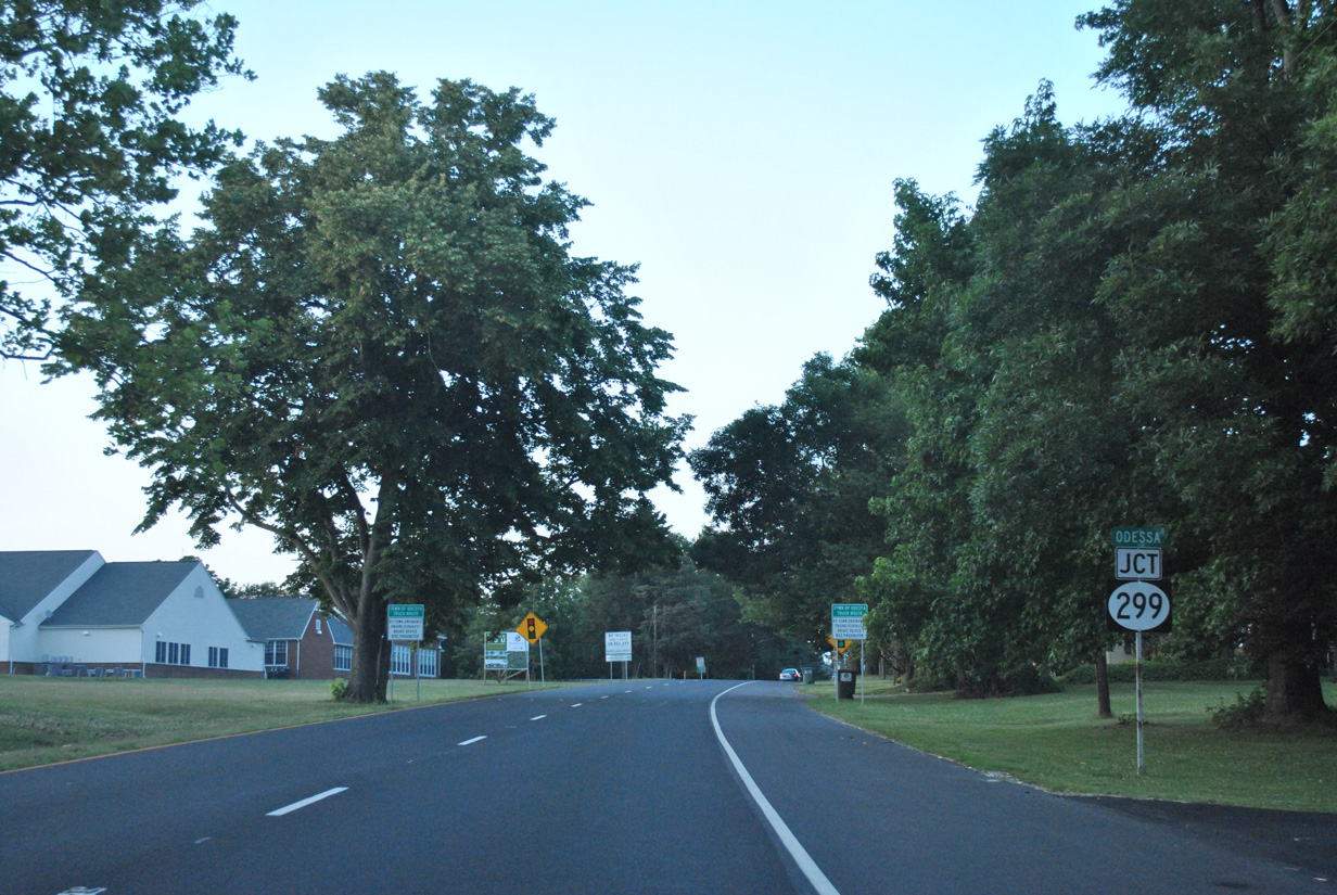
| SR 1 peels away from U.S. 13 to bypass Odessa to the west while Dupont Parkway curves northeast toward the town center. 06/17/12 |
|
| Just north of the Appoquinimink River, U.S. 13 separates into a couplet to SR 299 (Main Street). The forthcoming state route joins Odessa with Downtown Middletown along a suburban boulevard. 06/17/12 |
|
| SR 299 travels 3.7 miles west to combine with U.S. 301 south in Middletown. The state route formerly connected with MD 299 at Warwick, before Maryland renumbered that route to MD 282. 06/17/12 |
|
| SR 299 (Main Street) links Odessa with SR 1 (Exit 136) just beyond the town line to the west. SR 299 east ends in 1.7 miles at SR 9 and Mathews Corner. 06/17/12 |
|
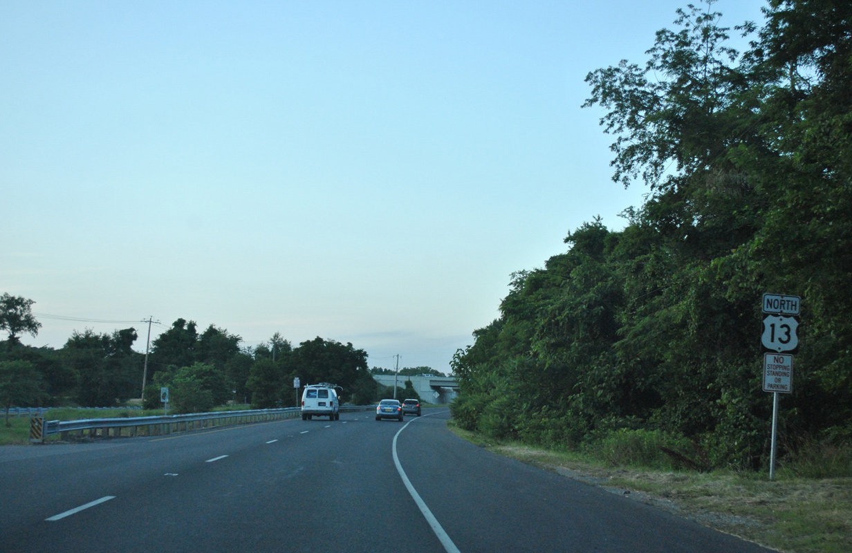
| The separate roadways (5th Street north / 6th Street south) of U.S. 13 recombine as Dupont Highway leaves Odessa and again passes below the SR 1 toll road. 06/17/12 |
|
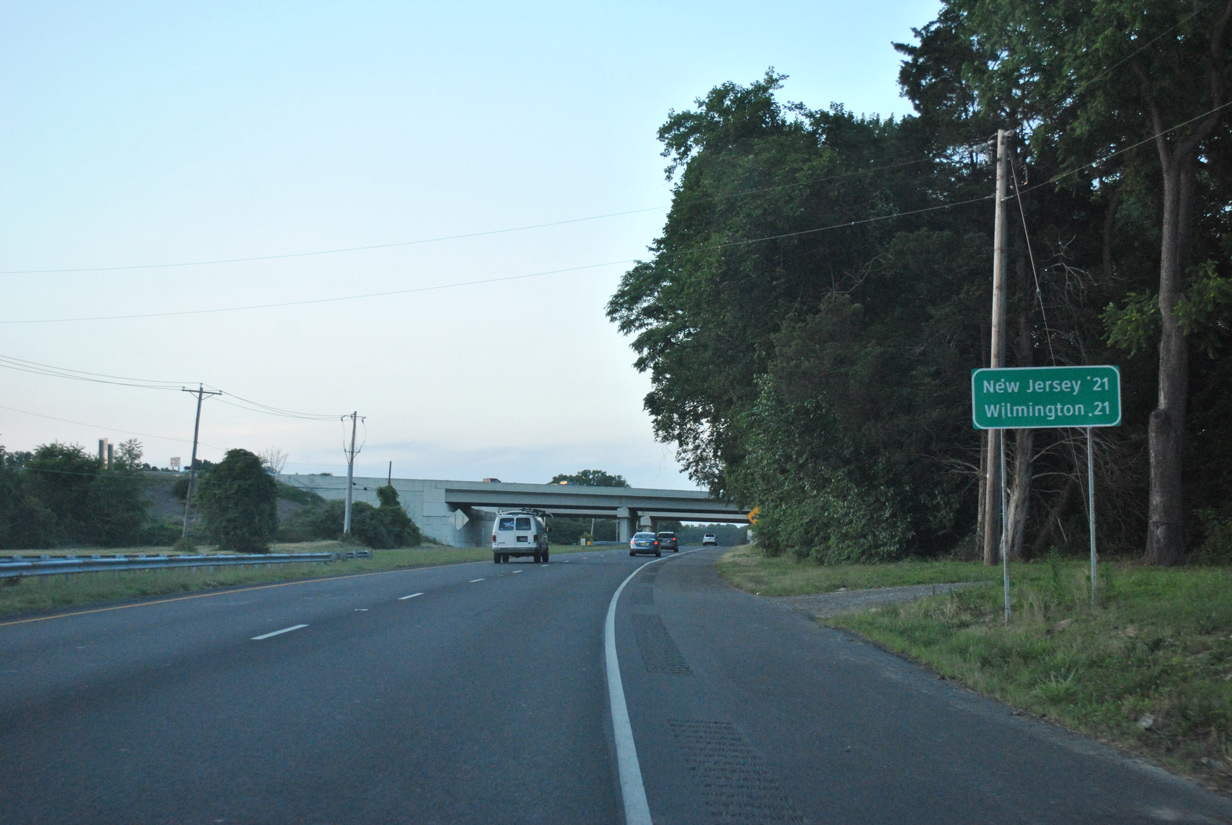
| New Jersey, referenced via the Delaware Memorial Bridge, and Wilmington are equidistant from U.S. 13 and SR 1 north from Odessa. 06/17/12 |
|
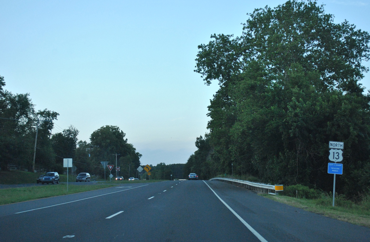
| Mechanic Street west originally became Marl Pit Road west from Odessa. Construction of SR 1 severed the road, with Marl Pit Road realigned to tie into U.S. 13 just north of the toll road overpasses. 06/17/12 |
|
| Bayview Road west and Greylag Road east come together at U.S. 13 (DuPont Highway) south of Boyds Corner. Bayview Road travels east by a number of suburban developments to SR 9 (Silver Run Road) at Augustine State Wildlife Management Area. Vance Neck Road ties into Bayview Road just east of the turnpike as well. The local road was realigned by the construction of SR 1, and like Bayview Road, is equally suburbanized. 05/15/05 |
|
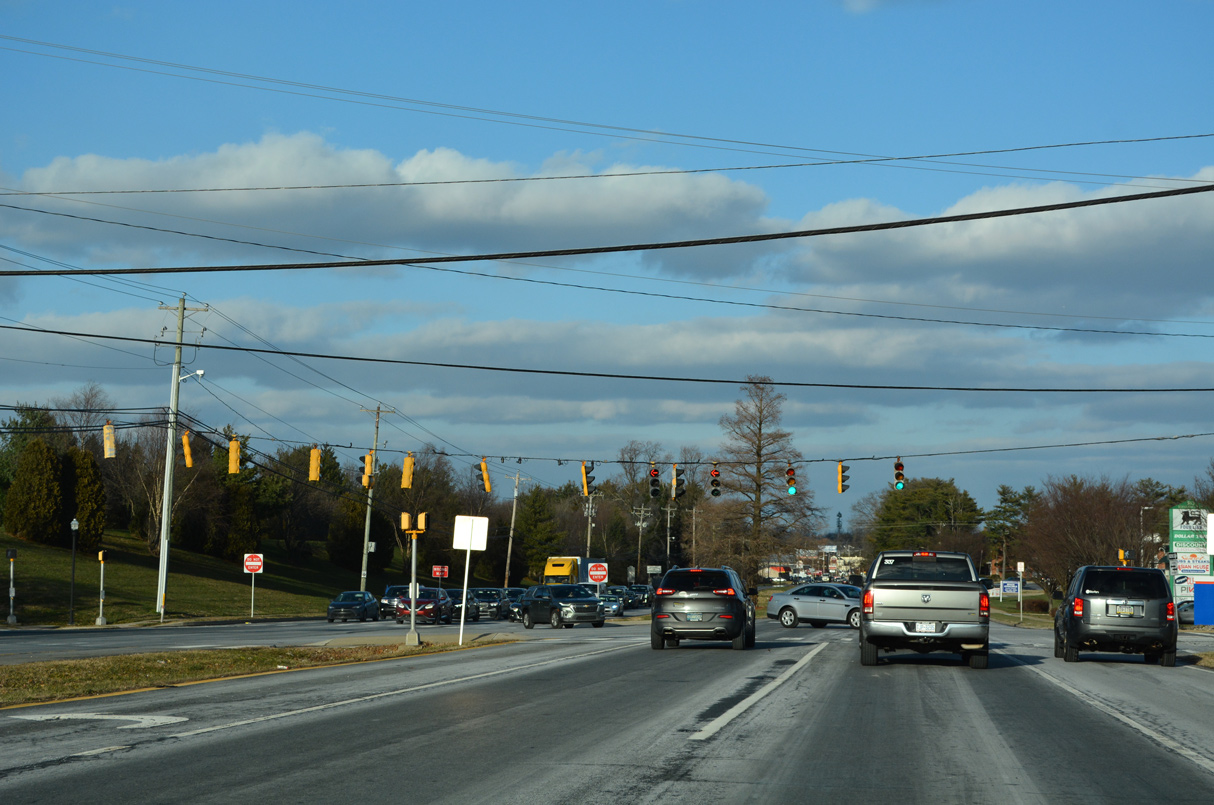
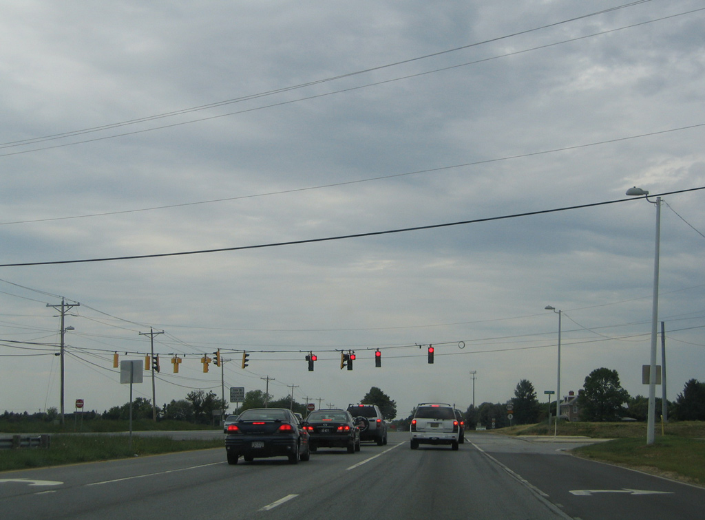
| U.S. 13 (Dupont Parkway) north next approaches the busy intersection with SR 896 (Boyds Corner Road) north and Pole Bridge Road east at Boyds Corner. 06/17/12 |
|
| SR 896 travels west to Mount Pleasant, where it combines with SR 71 north to Summit Bridge. The alignment along Boyds Corner Road was a part of U.S. 301 until 1993. 06/17/12 |
|
| Pole Bridge Road continues Boyds Corner Road east to Port Penn Road, with Port Penn Road overtaking the road east to Thorntown and SR 9 at Port Penn. SR 896 north forms a multi state route with PA 896 stretching north from Glasgow and Newark to Lancaster. 06/17/12 |
|
| A diamond interchange (Exit 142) joins Pole Bridge Road with the adjacent SR 1 toll road east of U.S. 13. The short segment between the two routes is not a part of SR 896. 06/17/12 |
|
| Prior to 1993, U.S. 13/301 overlapped north from Boyds Corner to Interstate 295 at Farnhurst. 06/17/12 |
|
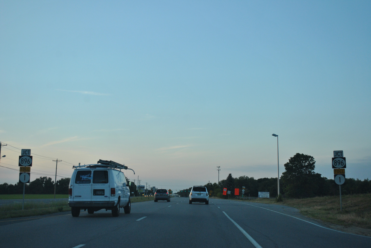
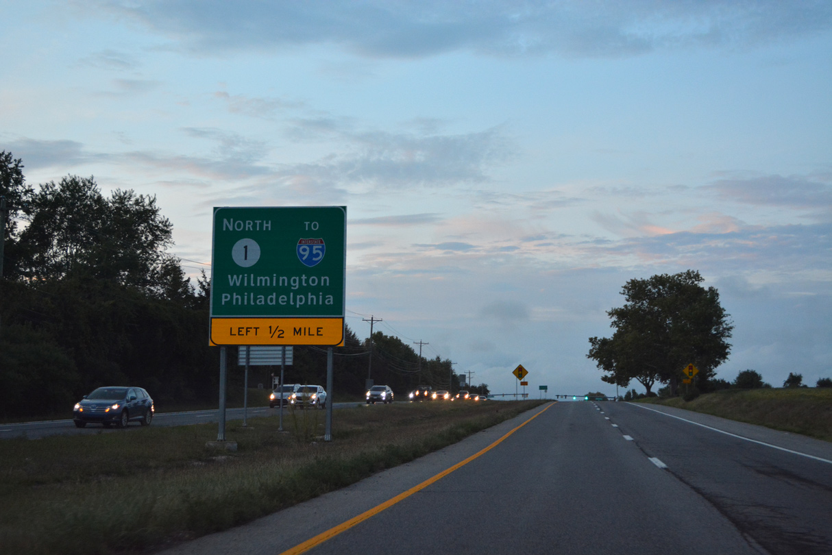
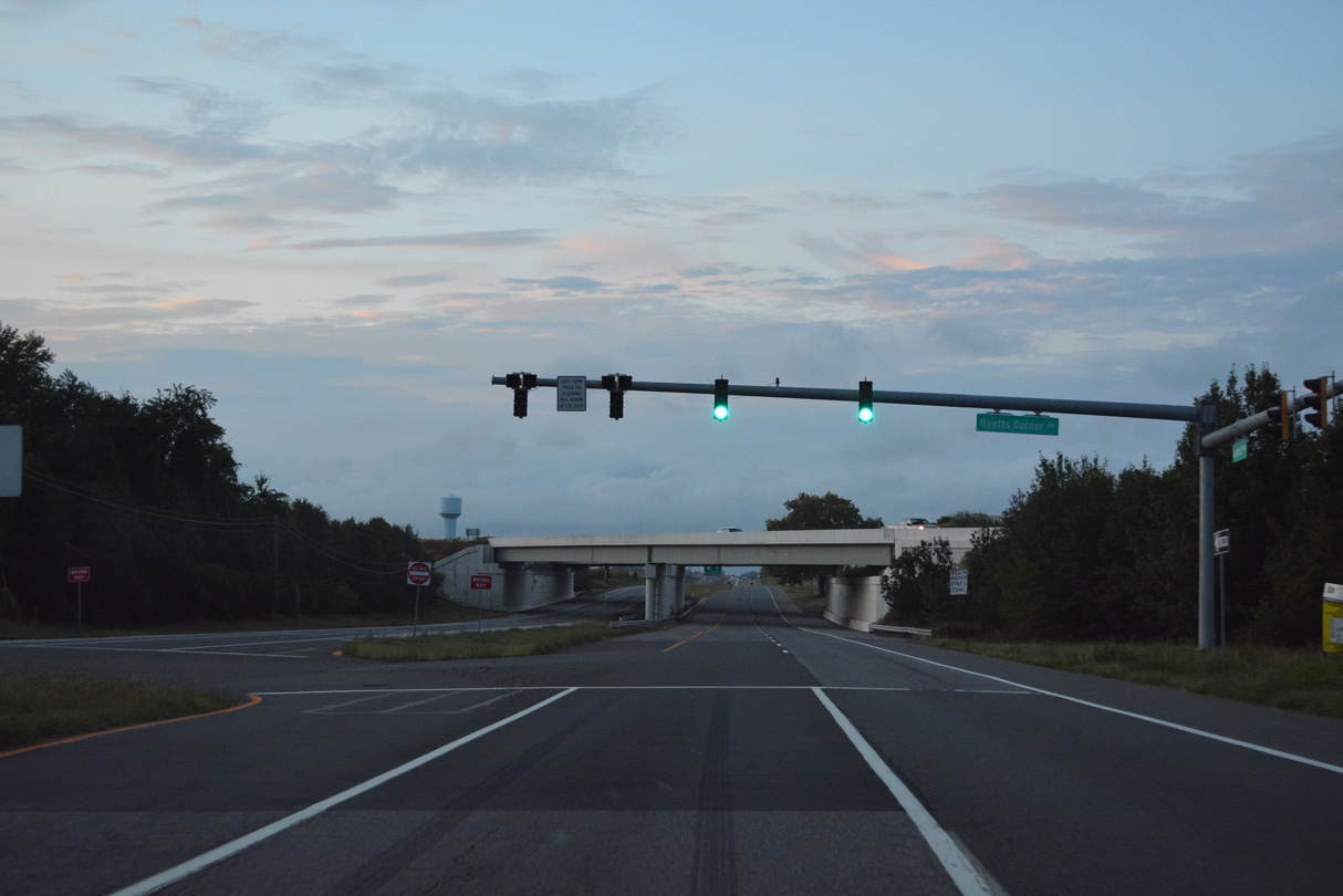
| Previously located at South St. Georges, the entrance ramp connecting U.S. 13 with SR 1 north across the William V. Roth, Jr. Bridge follows Hyetts Corner Road at Biddles Corner. 08/17/21 |
|
| Hyetts Corner Road (Road 413) 2.15 miles arcs northwest by several subdivisions to a roundabout with Jamison Corner Road (Road 371) just north of the exchange with U.S. 301 (First Responders Memorial Highway). 08/17/21 |
|
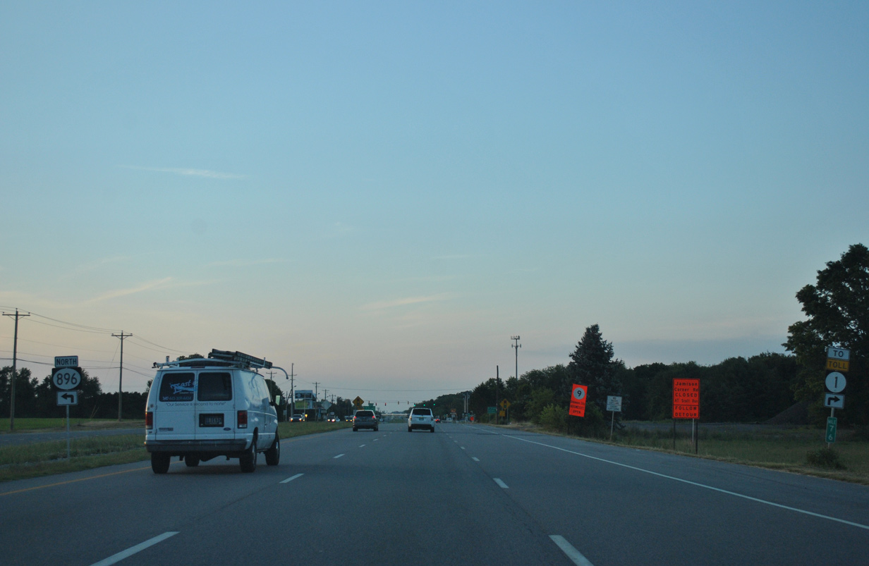
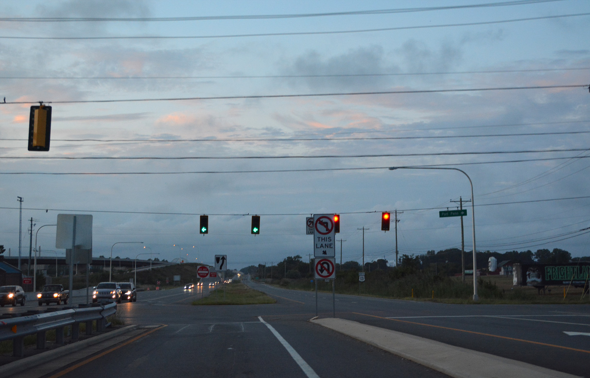
| A 0.72 mile long turn lane separates from U.S. 13 north for the entrance ramp at Port Penn Road to SR 1 north for Bear, Christiana and Wilmington. This connection allows the cable-stayed bridge across the C & D Canal to remain toll free as mandated by the U.S. Army Corps of Engineers. 08/17/21 |
|
| The entrance ramp for SR 1 north was relocated during construction of the First Responders Memorial Highway toll road for U.S. 301, which merges with SR 1 nearby. 08/17/21 |
|
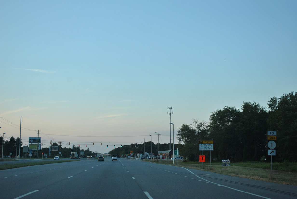
| Ramps from U.S. 301 north and U.S. 13 at Port Penn Road converge adjacent to Dupont Highway at Scott Run. U.S. 13 overlapped with SR 1 across the Chesapeake and Delaware Canal between 1995 and 1998. It was relocated back across the St. Georges Bridge once it was determined to keep the arch bridge in service. 12/15/17 |
|
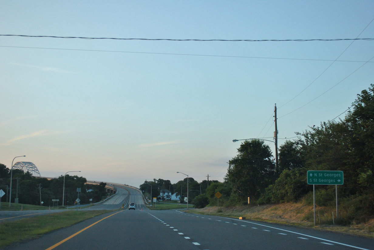
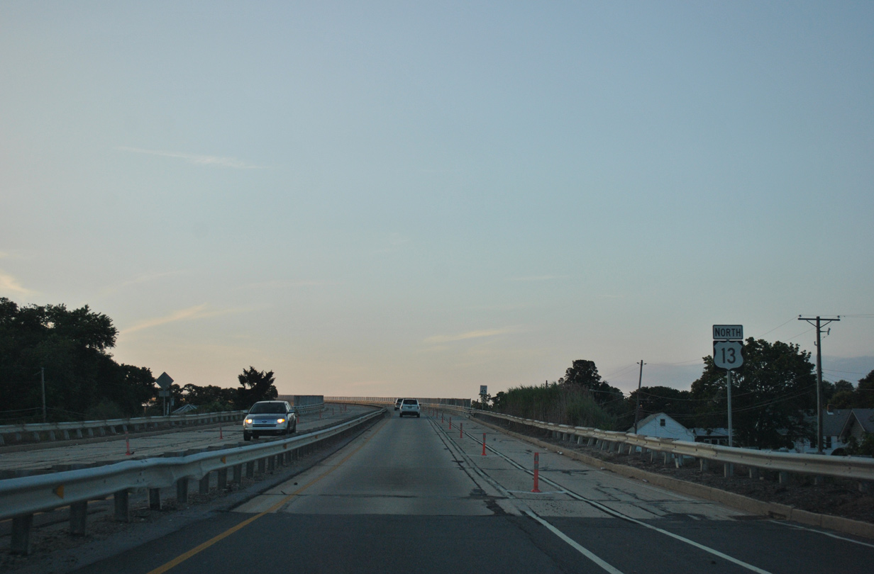
| U.S. 13 progress north to the St. Georges Bridge. An off-ramp at the bridge approach connects Dupont Parkway with S Main Street into unincorporated South St. Georges. 06/17/12 |
|
| U.S. 13 quickly rises onto the St. Georges Bridge beyond the S Main Street and Lorewood Grove Road ramps. What was previously a four lane span was restriped to accommodate a north and south bike lane. 06/17/12 |
|
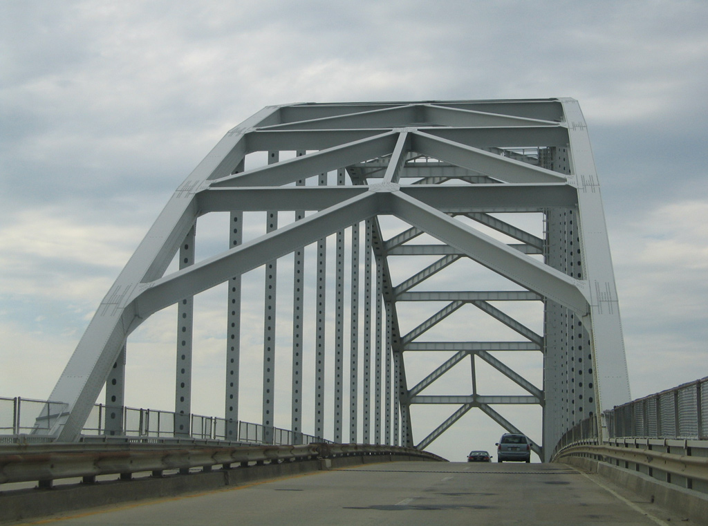
| A tied arch span built in 1942, the St. Georges Bridge underwent a repainting and redecking in 2001. Discussion in 1997 and 1998 involved permanently closing and eventually dismantling the bridge, with all U.S. 13 traffic shifted to the adjacent SR 1 bridge. efforts from area residents of North and South St. Georges helped keep the bridge in service. 06/17/12 |
|
| Passing under the steel arch of the St. Georges Bridge on U.S. 13 north. The span crests at 136 feet above the Chesapeake and Delaware Canal with a 50 foot wide deck.1 05/15/05 |
|
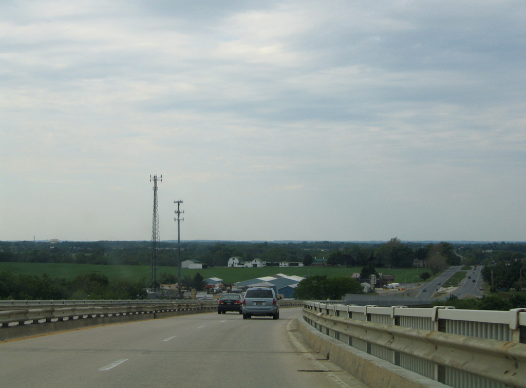
| Lowering toward North St. Georges on U.S. 13 north. St. Georges Bridge totals 4,209 feet in length.1 05/15/05 |
|
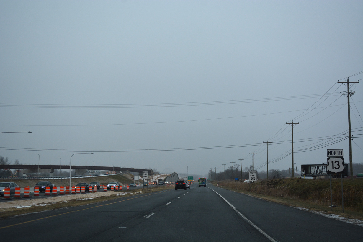
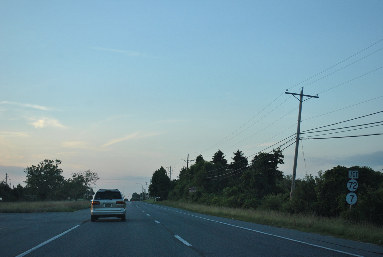
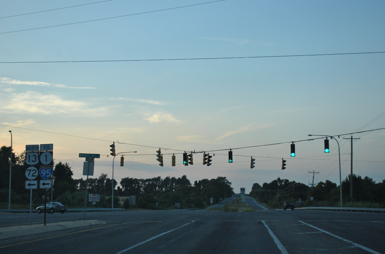
| Continuing beyond North St. Georges, U.S. 13 (Dupont Parkway) crosses Dragon Creek and approaches Wrangle Hill, SR 7 north and SR 72. 06/17/12 |
|
| Until 1995 U.S. 13 remained along Dupont Parkway northward to Tybouts Corner. Construction of SR 1 however overtook a portion of the original roadway, leading to shared alignment with U.S. 13 across Red Lion Creek. A segment of old Dupont Parkway was renumbered as a southward extension of SR 7. 06/17/12 |
|
| SR 72 (Wrangle Hill Road) originates 1.5 miles to the east at SR 9 by the Delaware City oil refineries. The state route arcs northwest nine miles to the city of Newark.
SR 7 commences a 16.87 mile route from Wrangle Hill north to the Pennsylvania state line near Hockessin. 06/17/12 |
|
| U.S. 13 north joins SR 72 (Wrangle Hill Road) for 0.22 miles to make the connection with SR 1 north. 12/20/16 |
|
| U.S. 13 north combines with SR 1 north for 2.19 miles to Tybouts Corner and the resumption of Dupont Highway north. The exchange between SR 72 and SR 1 was converted into a diverging diamond interchange (DDI) by November 2016. 12/30/16 |
|
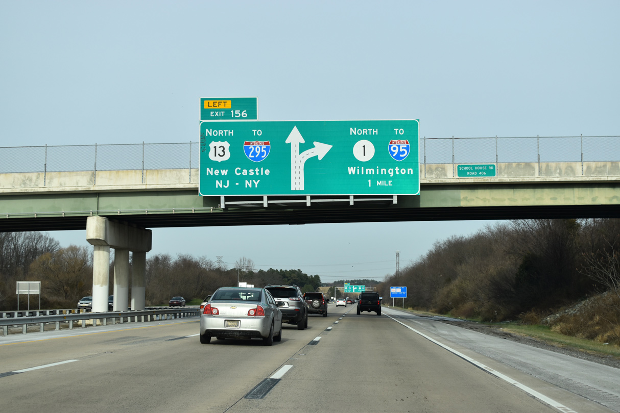
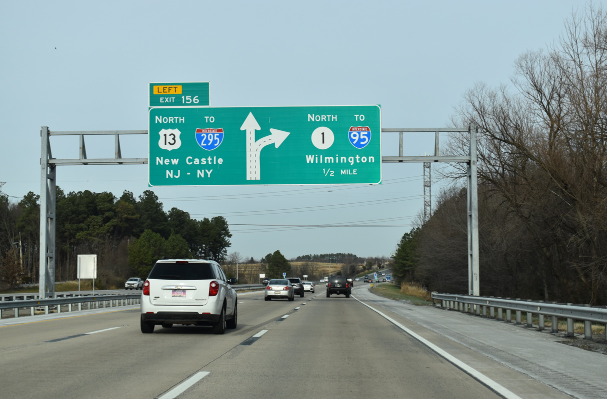
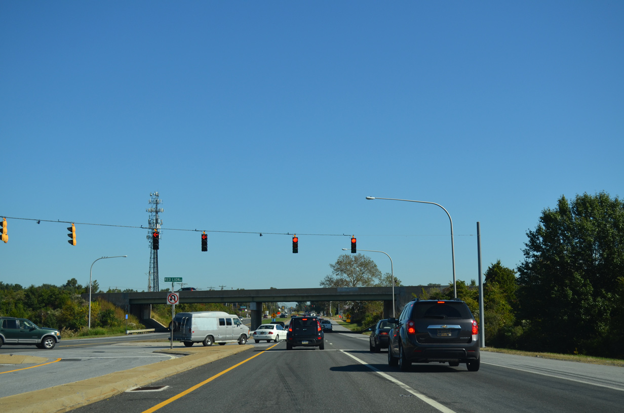
| U.S. 13/SR 1 advance north past Red Lion along a six lane freeway to Left Exit 156. 12/19/20 |
|
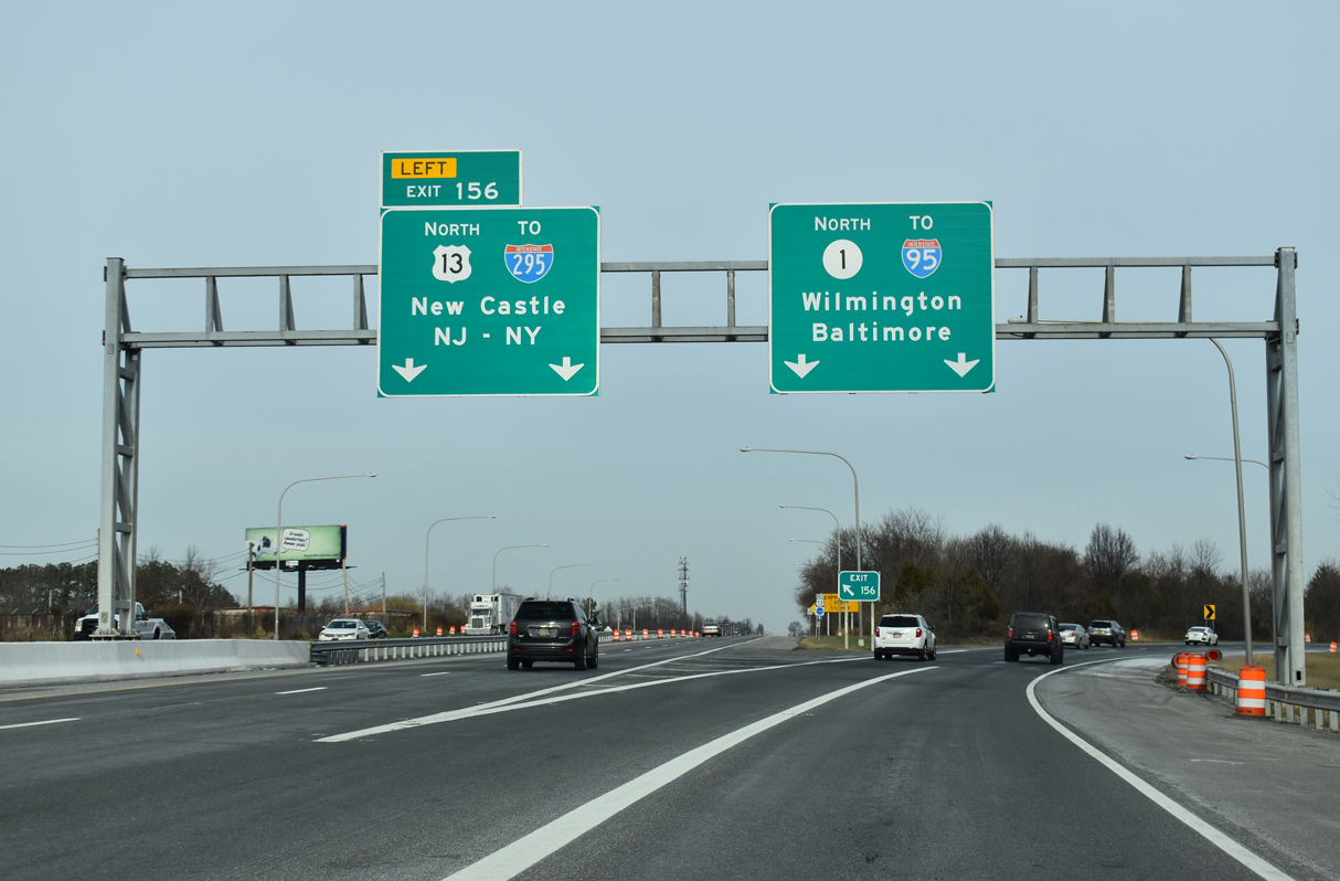
| Two sections of old Dupont Highway parallel U.S. 13/SR 1 to the west. The two routes cross Red Lion Creek ahead of the split at Left Exit 156. 12/19/20 |
|
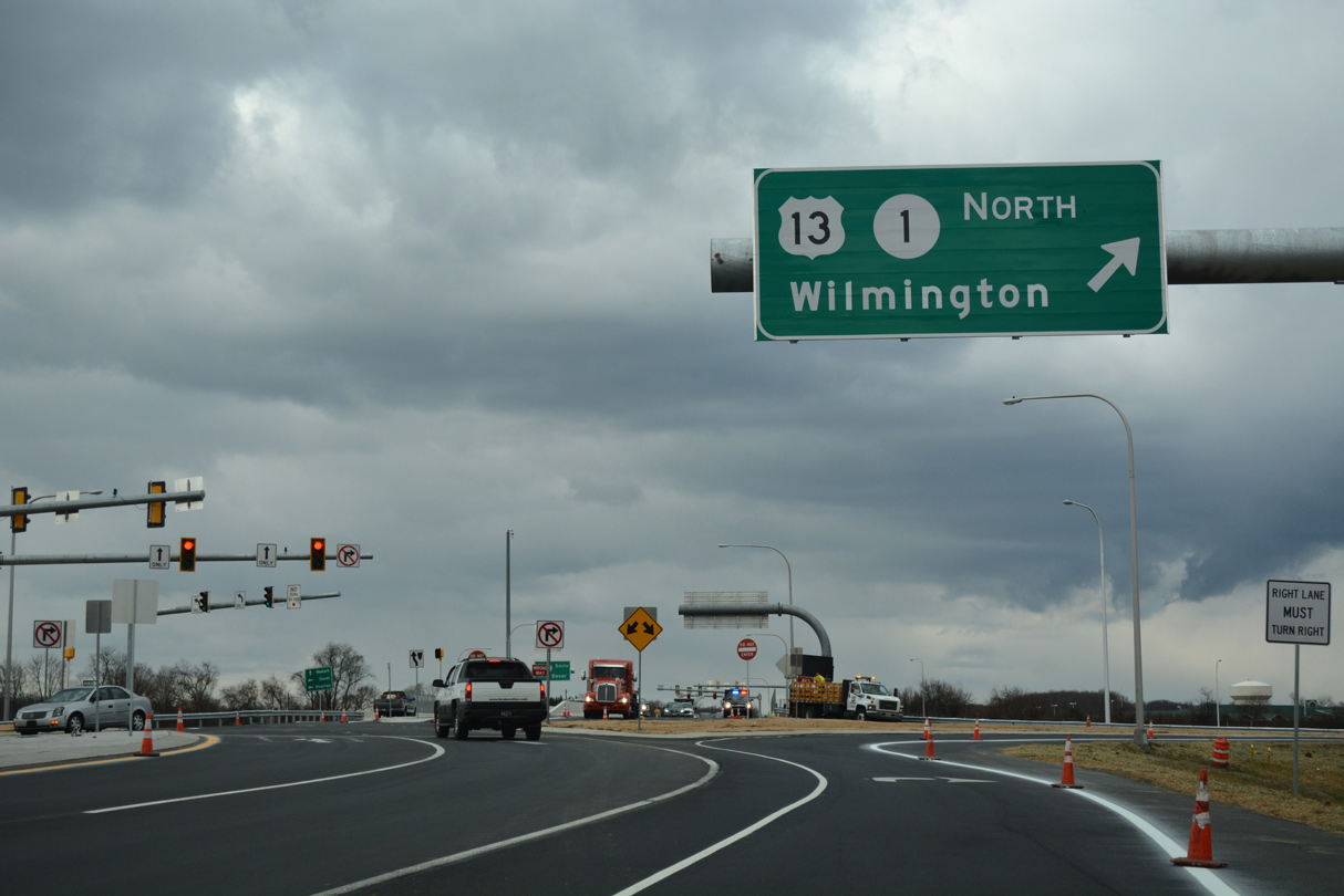
| SR 1 extends 5.88 miles north from U.S. 13 (Dupont Highway) at Tybouts Corner to Bear, Christiana and SR 7/58 at Churchmans Crossing. 12/19/20 |
|
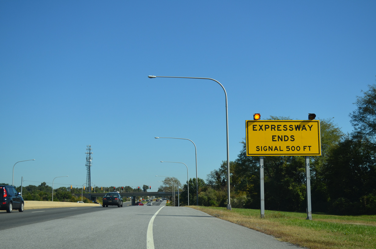
| U.S. 13 (Dupont Parkway) transitions back into an at-grade roadway within the wide trumpet interchange at SR 1. A traffic light operates within the exchange at the north end of unmarked SR 71 (Red Lion Road). 09/27/14 |
|
| SR 71 concludes a 22 mile route that originated at U.S. 13 south of Townsend at Tybouts Corner. The state route leads southwest by Bear to Red Lion and Kirkwood as the historic route of U.S. 301 South. 09/27/14 |
|
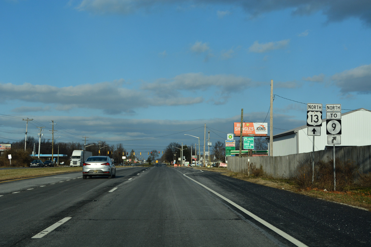
| Bear Road east and Hamburg Road (Road 381) west come together at a traffic light just north of the SR 1 overpasses. Hamburg Road links U.S. 13 with SR 9 (River Road) in 0.65 miles as the route leads northeast to New Castle. 12/23/22 |
|
| Bear Road (Road 381) west links U.S. 13 (Dupont Parkway) with a northbound entrance ramp for SR 1 while providing a local route with Bear Tybouts Road west to SR 7 at Bear. 12/23/22 |
|
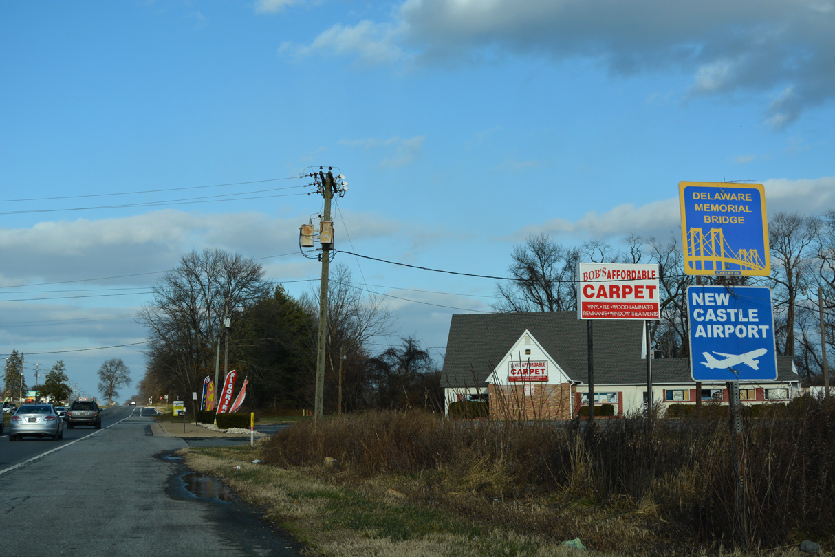
| U.S. 13 (DuPont Parkway) advances 6.21 miles northeast from Tybouts Corner to Interstate 295 west of the Delaware Memorial Bridge. 12/23/22 |
|
| Federal School Lane (Road 380) stems 0.79 miles east from U.S. 13 to SR 9 (River Road). 12/23/22 |
|
| U.S. 13 continues north from Federal School Lane between the Buena Vista Estate and the Chaddwyck subdivision. 12/23/22 |
|
| Mallard Road and Saienni Boulevard joins U.S. 13 (Dupont Parkway) with adjacent subdivisions, apartment complexes and Beaver Brook Plaza shopping center. 12/23/22 |
|
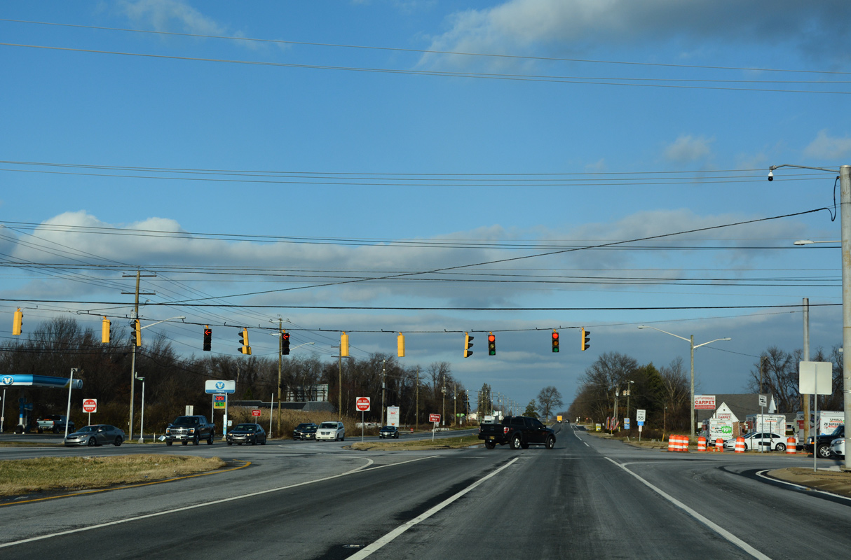
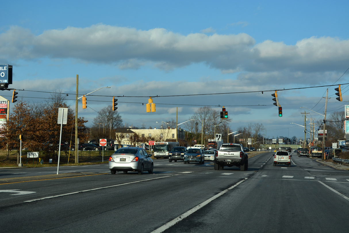
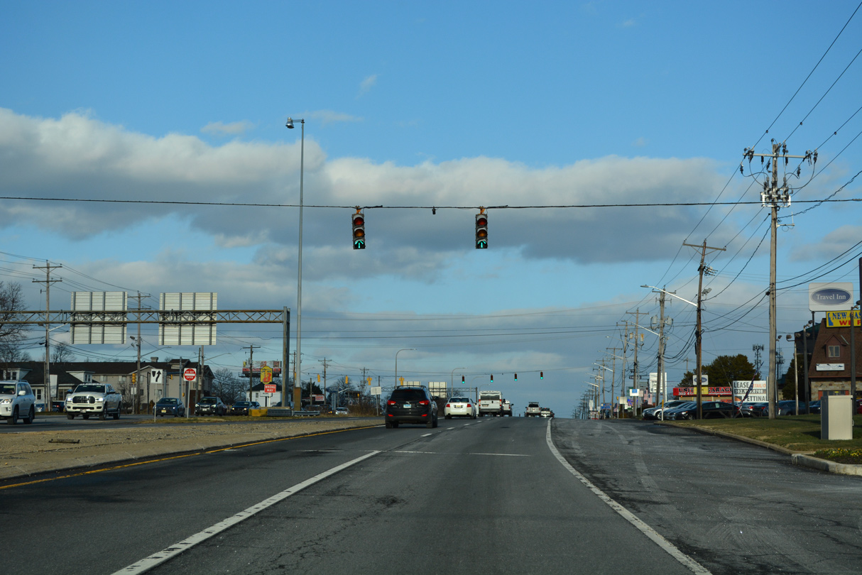
| Llangollen Boulevard travels west from SR 9 (River Road) to adjacent Old State Road across U.S. 13 (Dupont Parkway). This set of signals was replaced by 2012 and a new shopping center added at the northwest corner. 12/23/22 |
|
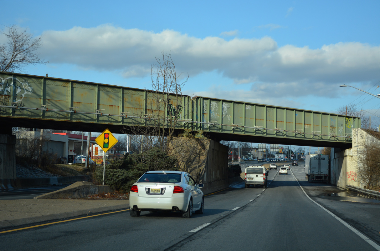
| U.S. 13 (DuPont Highway) converges with U.S. 40 (Pulaski Highway) east at State Road just beyond a Norfolk Southern Railroad bridge. 12/23/22 |
|
| U.S. 13/40 overlap 3.56 miles northeast to the Farnhurst Interchange with Interstate 295. 12/23/22 |
Page Updated 12-30-2022.


 North
North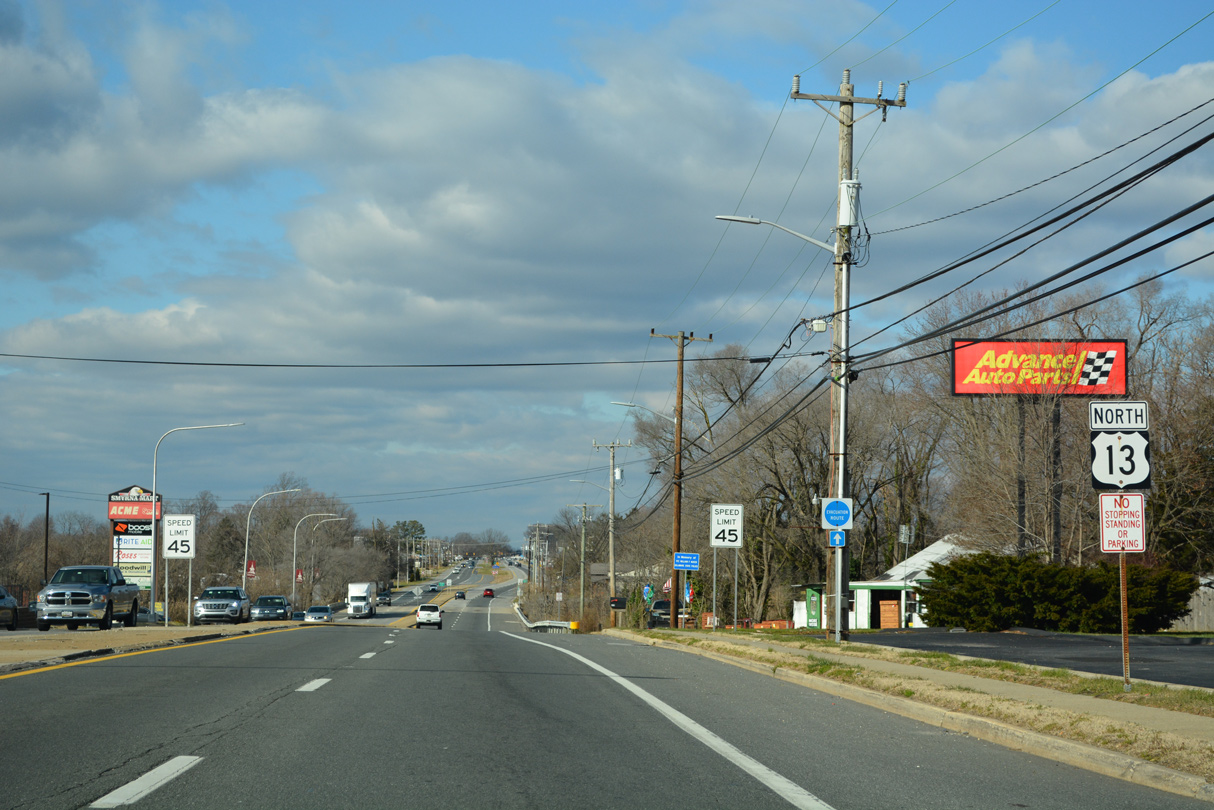


 North
North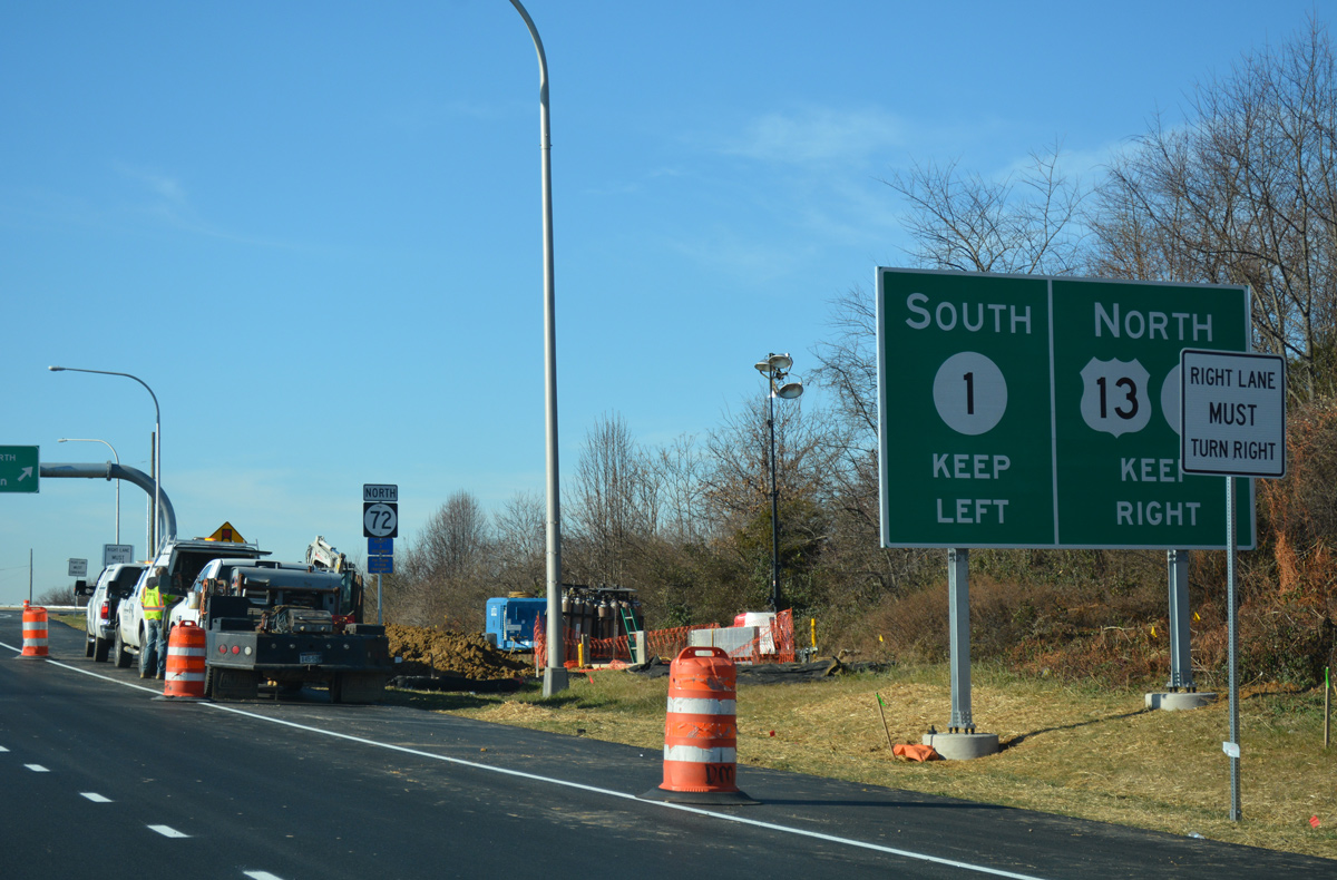
 North
North