U.S. 27 through Kentucky travels 191 miles from the Tennessee state line at Isham to the Taylor Southgate Bridge across the Ohio River into Cincinnati. The US highway winds through Daniel Boone National Forest to Whitley City and southern Pulaski County. Several segments of old U.S. 27 parallel the route nearby, including KY 759 to Strunk and KY 1651 to Stearns.
Approaching the Cumberland River, U.S. 27 leaves the forested hills for agricultural and industrial areas through Tatesville and Burnside on the outskirts of Somerset. Expanding into a divided arterial, U.S. 27 crosses Lake Cumberland to an interchange with KY 1247, which forms an at-grade bypass alongside KY 914 north around Somerset. The US highway stays to the west along a commercialized route through the Pulaski County seat.
Cumberland Parkway, the long touted future I-66 corridor, ties into U.S. 27 north of Somerset and south Science Hill. Prior to 2015, the limited access road transitioned into Kentucky 80 (Hal Rogers Parkway) an at-grade roadway across the city of Somerset. Continuing north, U.S. 27 travels to Stanford, Lancaster and Bryantsville where it expands into a four-lane divided highway.
Through Nicholasville, U.S. 27 splits with U.S. 27 Business (Main Street) for an expressway bypass along the west side of the growing bedroom community. The expressway ends as U.S. 27 transitions into a five-lane arterial to the southern suburbs of Lexington. Within Lexington, U.S. 27 follows South Limestone north to the University of Kentucky, where a couplet along with Bolivar Street brings the route north to U.S. 68 (Broadway) for an overlap through Downtown. The U.S. 27 northbound turns at Euclid Avenue north, Upper Street west and Bolivar Street north are unmarked.
U.S. 27 & 68 share a 18.6 mile concurrency from Lexington northeast to Paris. The two partition on a bypass of the Bourbon County seat, with U.S. 27 turning north to Cynthiana, Falmouth and Alexandria. Alexandria Pike carries the route northward to the Northern Kentucky urban area, where U.S. 27 meets the south end of Interstate 471.
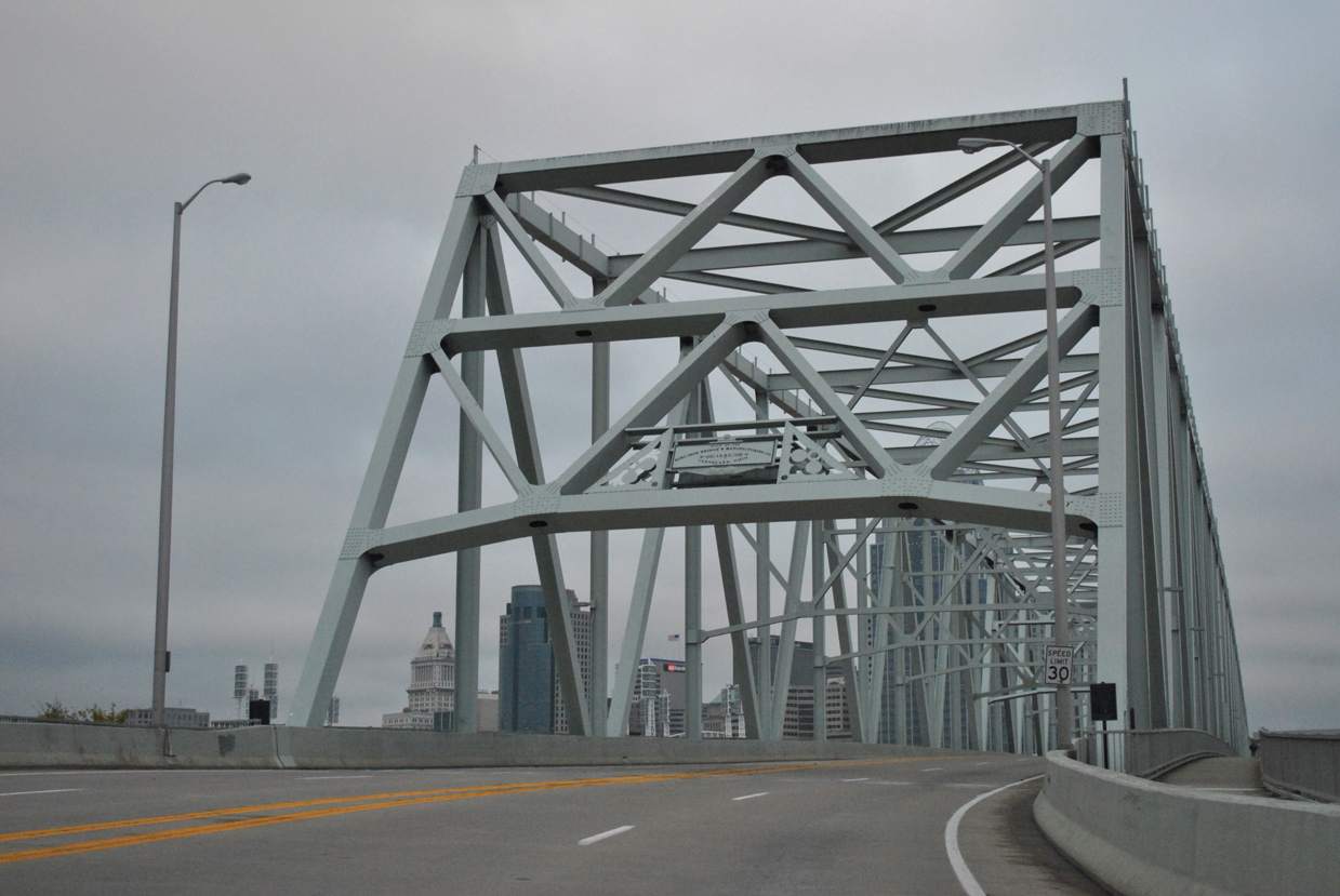
Through traffic follows I-471 north to Newport and Bellevue while U.S. 27 winds through the cities of Fort Thomas and Southgate. Navigating through the Newport street grid, U.S. 27 partitions into a couplet of Monmouth and 3rd Streets for northbound and York and 11th Streets for southbound. The split route converges at the Taylor Southgate Bridge by Newport on the Levee on the Ohio Riverfront. The continuous truss bridge across the Ohio River opened to traffic in 1995 with four overall lanes and pedestrian walkways on each side. The span replaced the Central Bridge, a cantilever bridge demolished in 1992.
Alexandria Pike
Licking Pike north from U.S. 27 (Alexandria Pike) and west of Campbell County Line, to Claryville and Main Street at Scaffold Creek, was incorporated into the US highway in 1928.2 Main Street (KY 10) east to Washington Street north through Alexandria represented the continuation of U.S. 27 north, with the current alignment directly overlaying the old route north to Low Gap Road. Low Gap Road turned the route northeast to Alexandria Pike (KY 2925) for the route into Cold Spring.
A hazardous location along this route, south of Dodsworth Lane in Cold Spring, was regarded as "Devil's Elbow" due to the grade and a series of sharp curves. This section was eventually bypassed by a new terrain alignment to the west along the ridge line between Alexandria and Cold Spring. Work to build the new straighter alignment started in 1939 and ran through the early 1940s. It coincided with work to improve or realign U.S. 27 northward from Cythiana to Newport. The corridor was rededicated on September 14, 1949.2
|
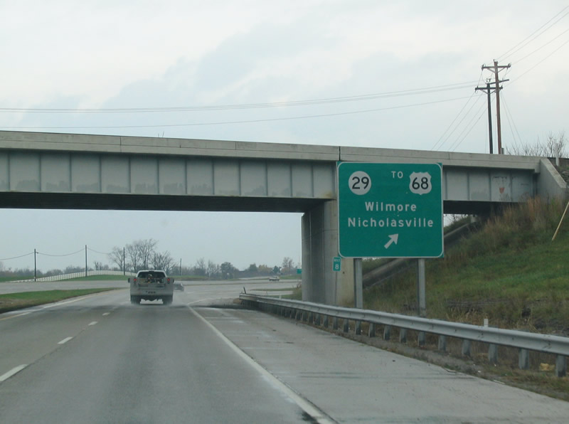
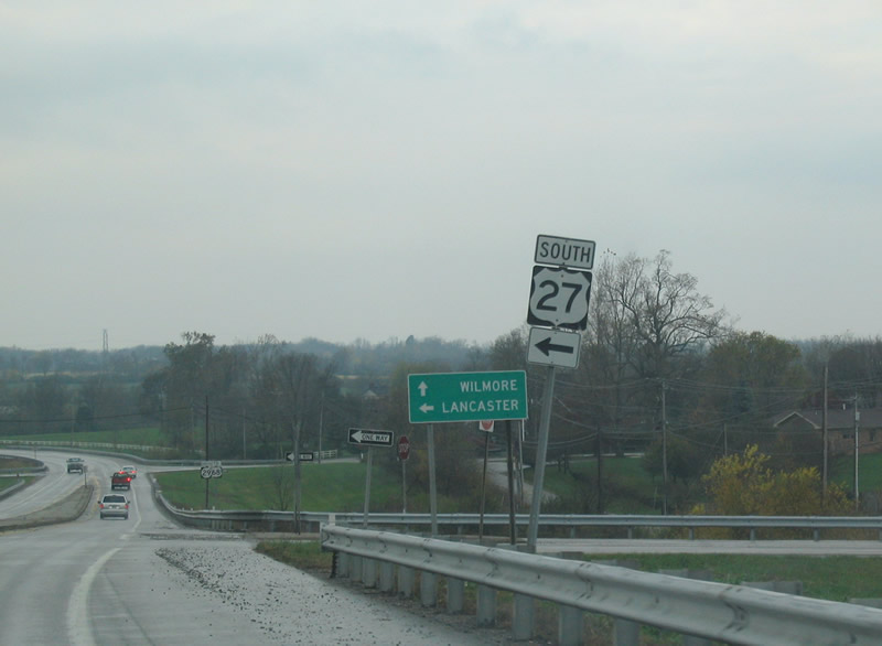
| U.S. 27 travels an expressway bypass around the Jessamine County seat of Nicholasville and meets KY 29 (Wilmore Road) at a diamond interchange. 10/30/04 |
|
| Shield assembly posted at the end of the northbound U.S. 27 ramp to KY 29 (Wilmore Road). KY 29 heads west from its beginning in Nicholasville to U.S. 68 northeast of Wilmore. 10/30/04 |
|
| U.S. 27 (Monmouth Street) lowers below a subway carrying a CSX Railroad line between 12th and 11th Streets in Newport. 11/04/11 |
|
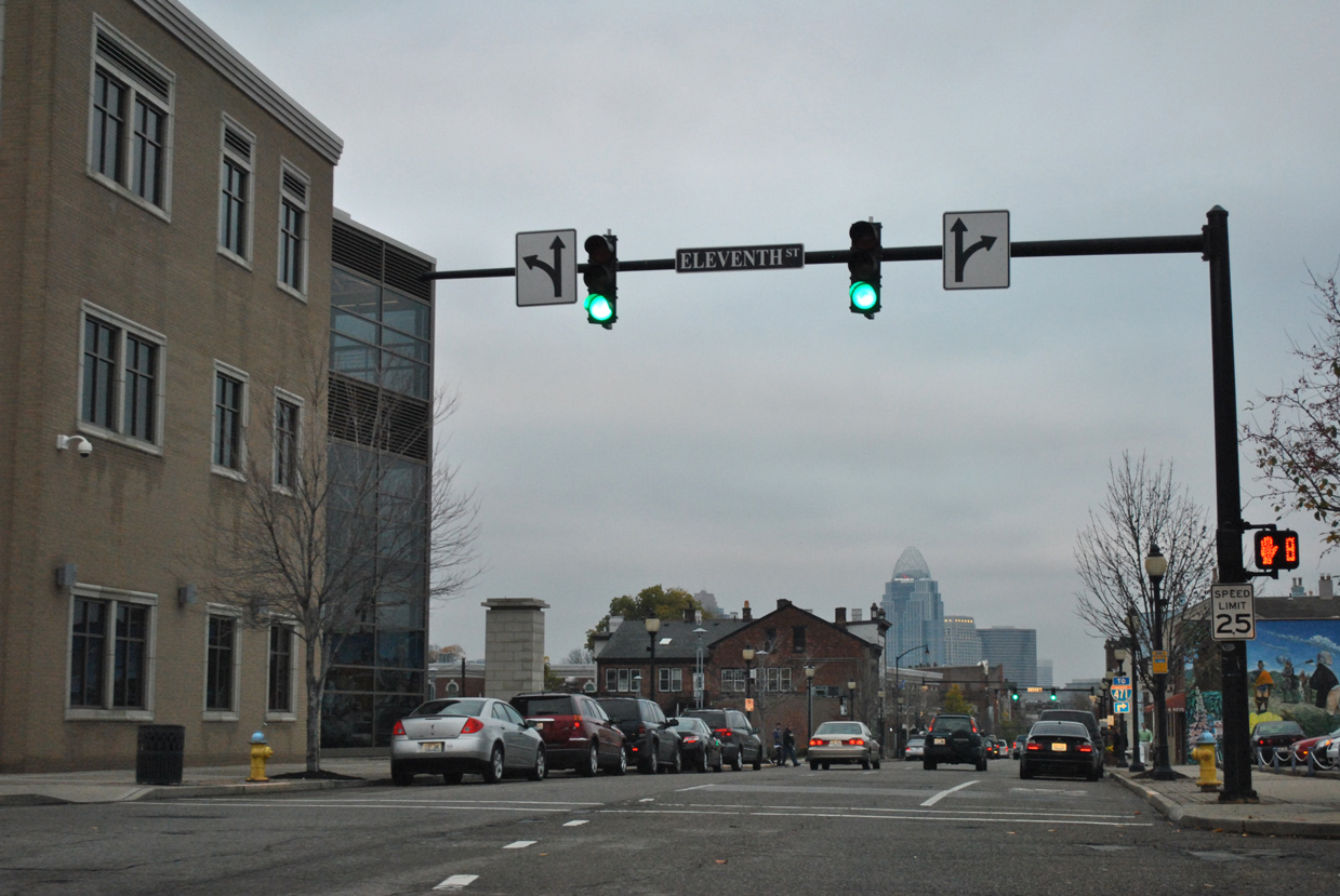
| Monmouth Street becomes a one way street northbound after 11th Street. 11th Street carries U.S. 27 south from York Street. 11/04/11 |
|
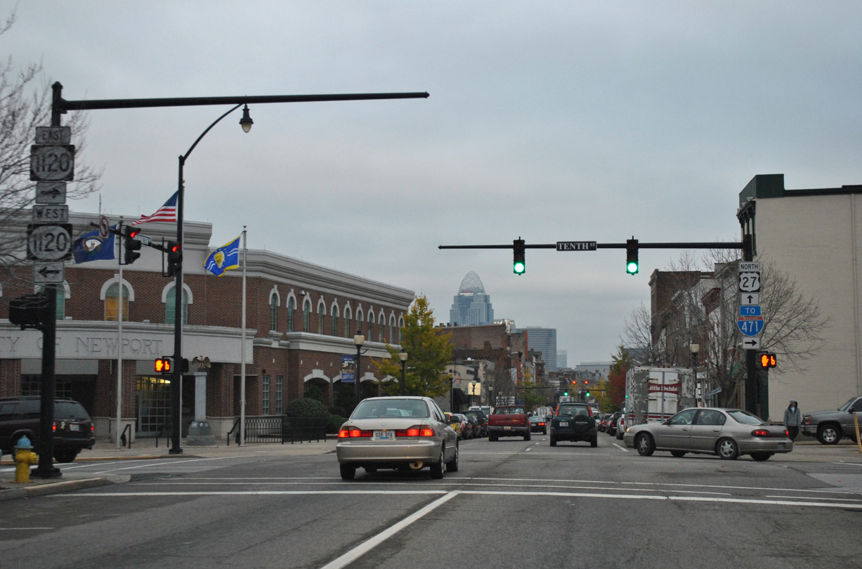
| An Interstate 471 trailblazer directs motorists onto 10th Street (KY 1120) east for the Memorial Parkway interchange with the freeway. 11/04/11 |
|
| KY 1120 follows 10th Street east to Memorial Parkway through Fort Thomas. The state route west joins U.S. 27 (York Street) south for a one block overlap to 11th Street and the 11th Street Bridge to Covington. 11/04/11 |
|
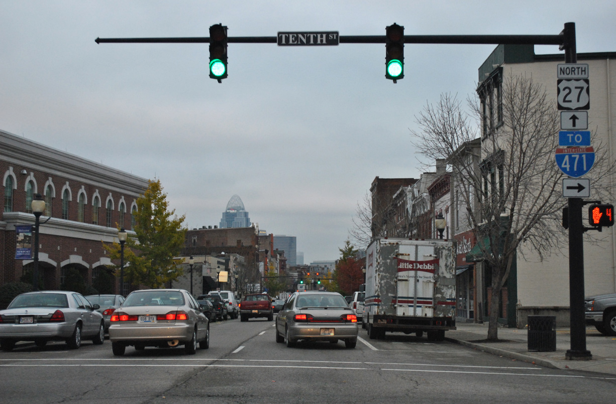
| U.S. 27 (Monmouth Street) north enters the Newport central business district beyond KY 1120 (10th Street). 11/04/11 |
|
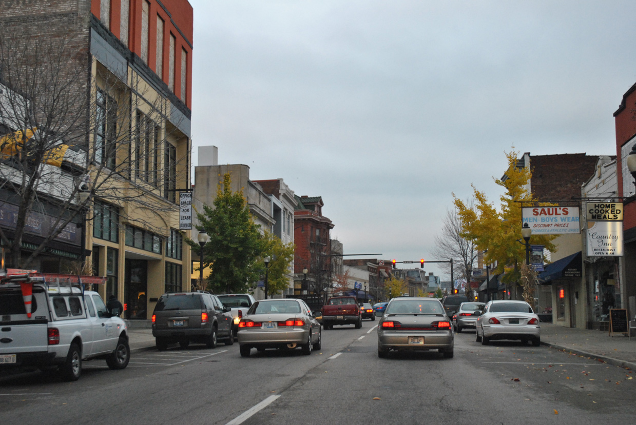
| U.S. 27 (Monmouth Street) north at 9th Street. 11/04/11 |
|
| Shops and residences line both sides of Monmouth Street in this scene ahead of 8th Street. 11/04/11 |
|
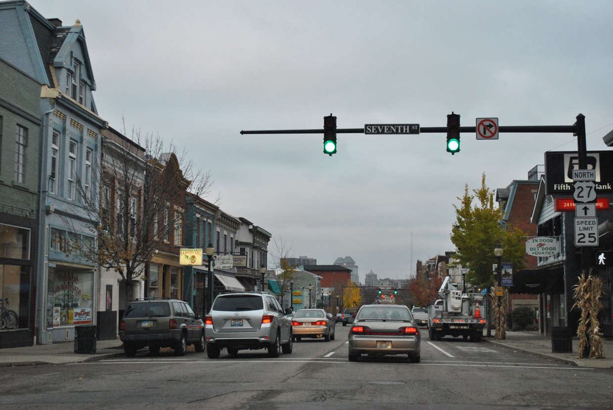
| Another trailblazer appears for U.S. 27 north at 7th Street. 11/04/11 |
|
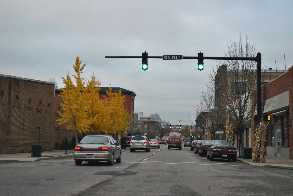
| Two blocks separate U.S. 27 north from southbound between 7th Street and 6th Street. 11/04/11 |
|
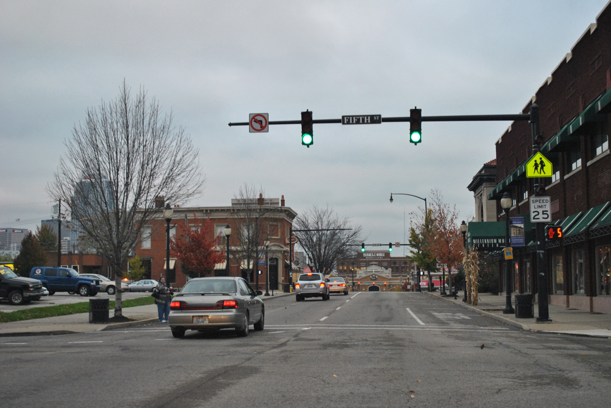
| KY 8 east joins U.S. 27 north from 5th Street. The state route crosses the 4th Street Bridge from Covington to the west. 11/04/11 |
|
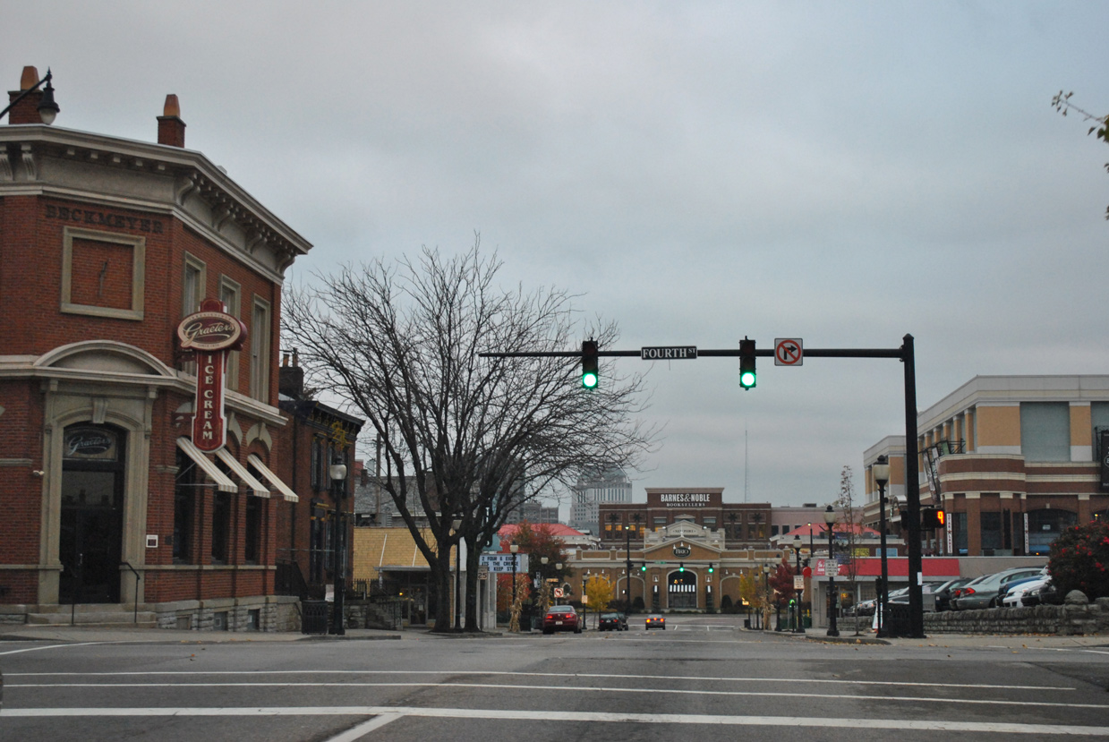
| Newport on the Levee mall lies ahead as U.S. 27 north & KY 8 (Monmouth Street) intersect 4th Street. 4th Street carries KY 8 west from adjacent U.S. 27 (York Street) south. 11/04/11 |
|
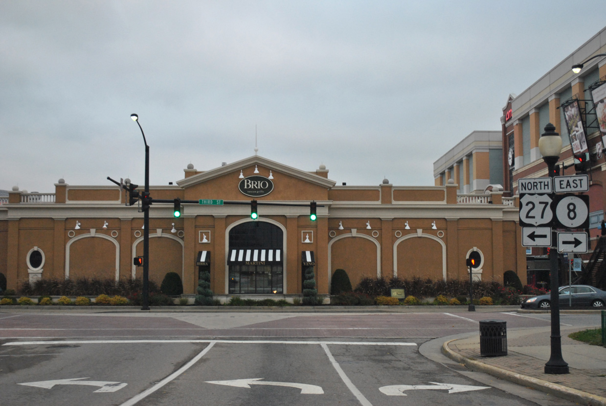
| U.S. 27 and KY 8 partition at 3rd Street. The state route follows 3rd Street east for two blocks before dog legging north onto Dave Cowens Drive to Interstate 471. 11/04/11 |
|
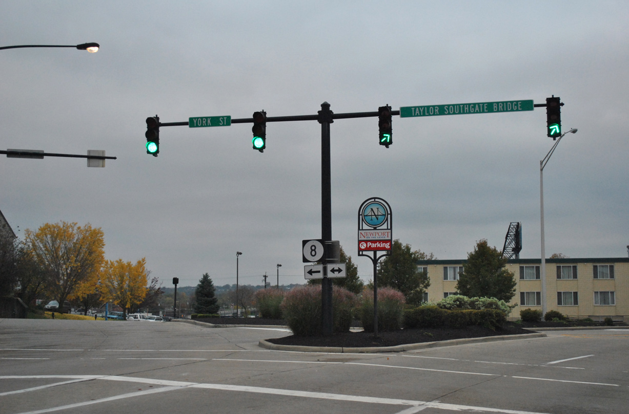
| KY 8 west combines with U.S. 27 north on 3rd Street to York Street (U.S. 27 south) and the Taylor Southgate Bridge. 11/04/11 |
|
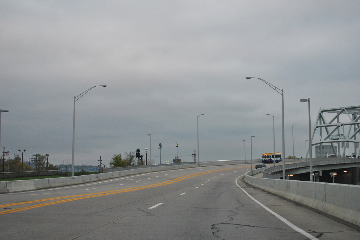
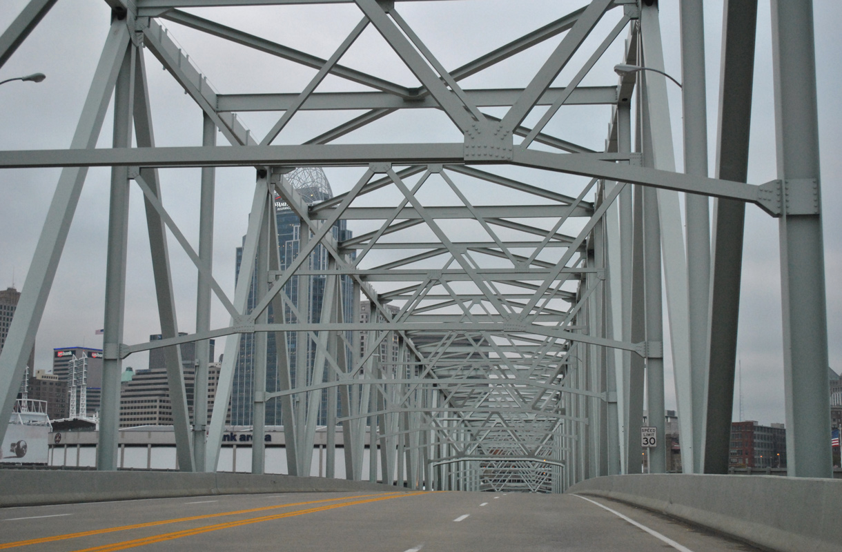
| Traffic angles northwest from 3rd and York Streets onto the four lane Taylor Southgate Bridge across the Ohio River. 11/04/11 |
|
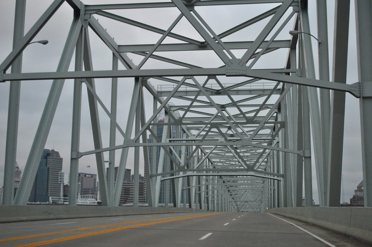
| The Taylor Southgate Bridge was built at the location of the old Central Bridge. Bridge plaques and portions of the decorative bracing were incorporated from the 1890-built span on its 1995 replacement.1 11/04/11 |
|
| A continuous truss bridge, the Taylor Southgate Bridge is 2,298 feet long with a 60 foot wide deck.1 11/04/11 |
|
| Speed limits are set at 30 miles per hour as U.S. 27 crosses the Ohio state line. 11/04/11 |
|
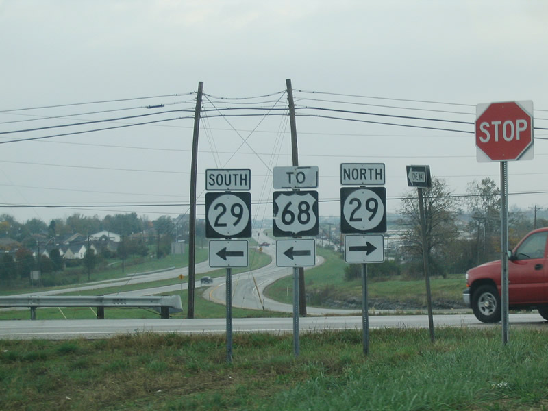
| KY 29 (Wilmore Road) south at the diamond interchange with the U.S. 27 bypass of Nicholasville. U.S. 27 continues south with four lanes to Camp Nelson. 10/30/04 |
|
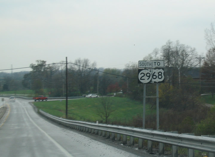
| 2.3 miles separate U.S. 27 from U.S. 68 via KY 29 (Wilmore Road) west. 10/30/04 |
Photo Credits:10/30/04 by Carter Buchanan. 11/04/11 by AARoads.
Connect with:
Interstate 64
Interstate 71
Interstate 471
Route 4 - New Circle Road
Page Updated 09-23-2016.

 North
North