
 North
North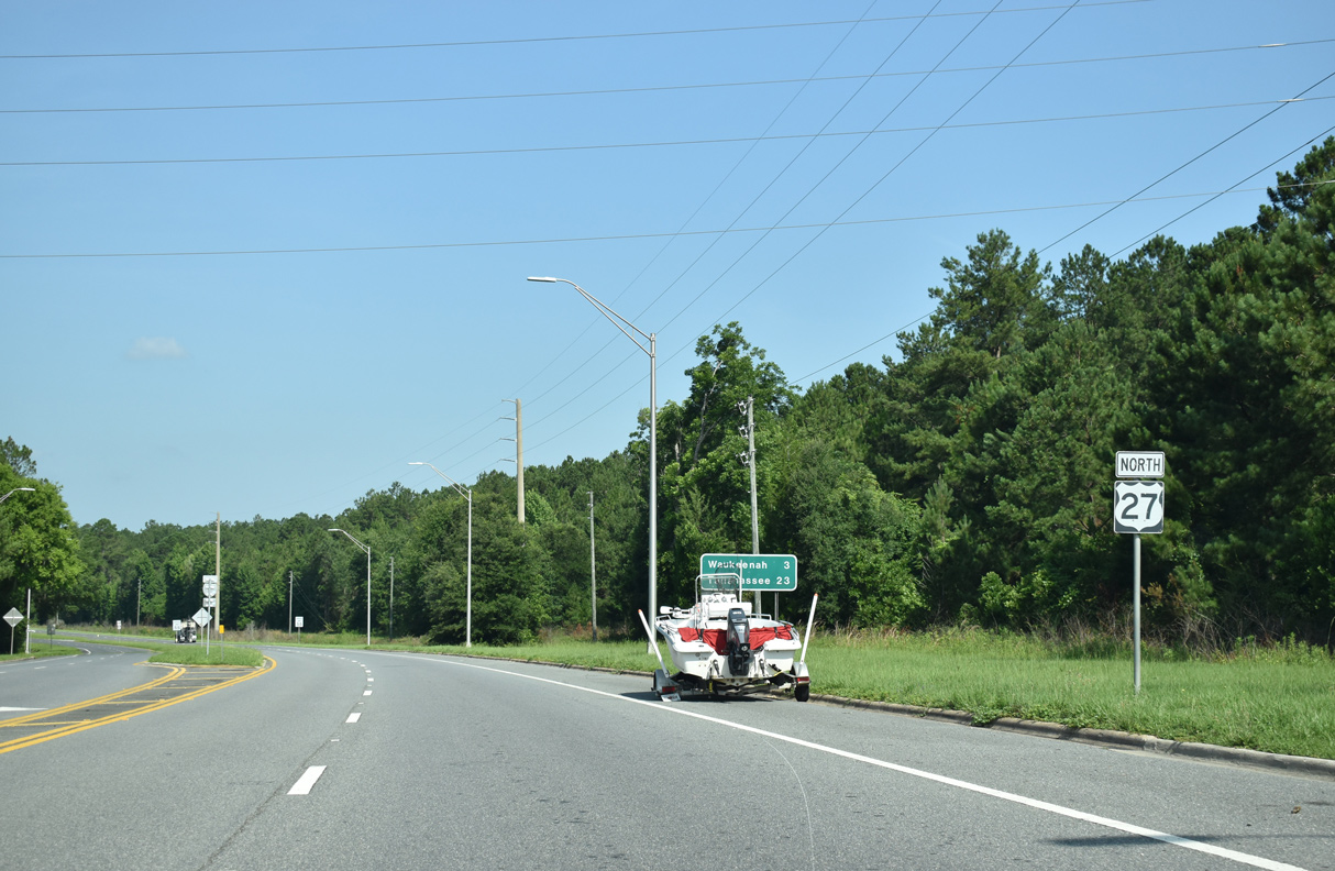
06/16/22
06/16/22
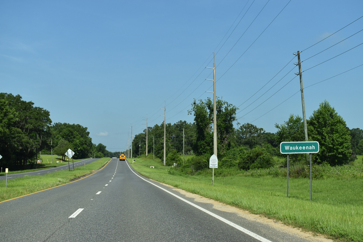
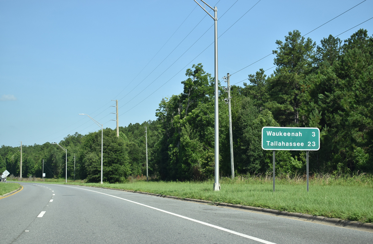
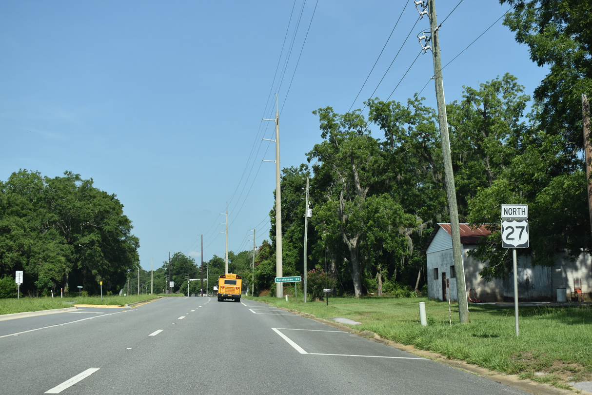
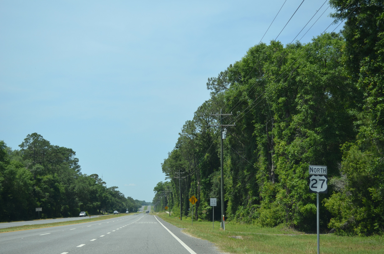
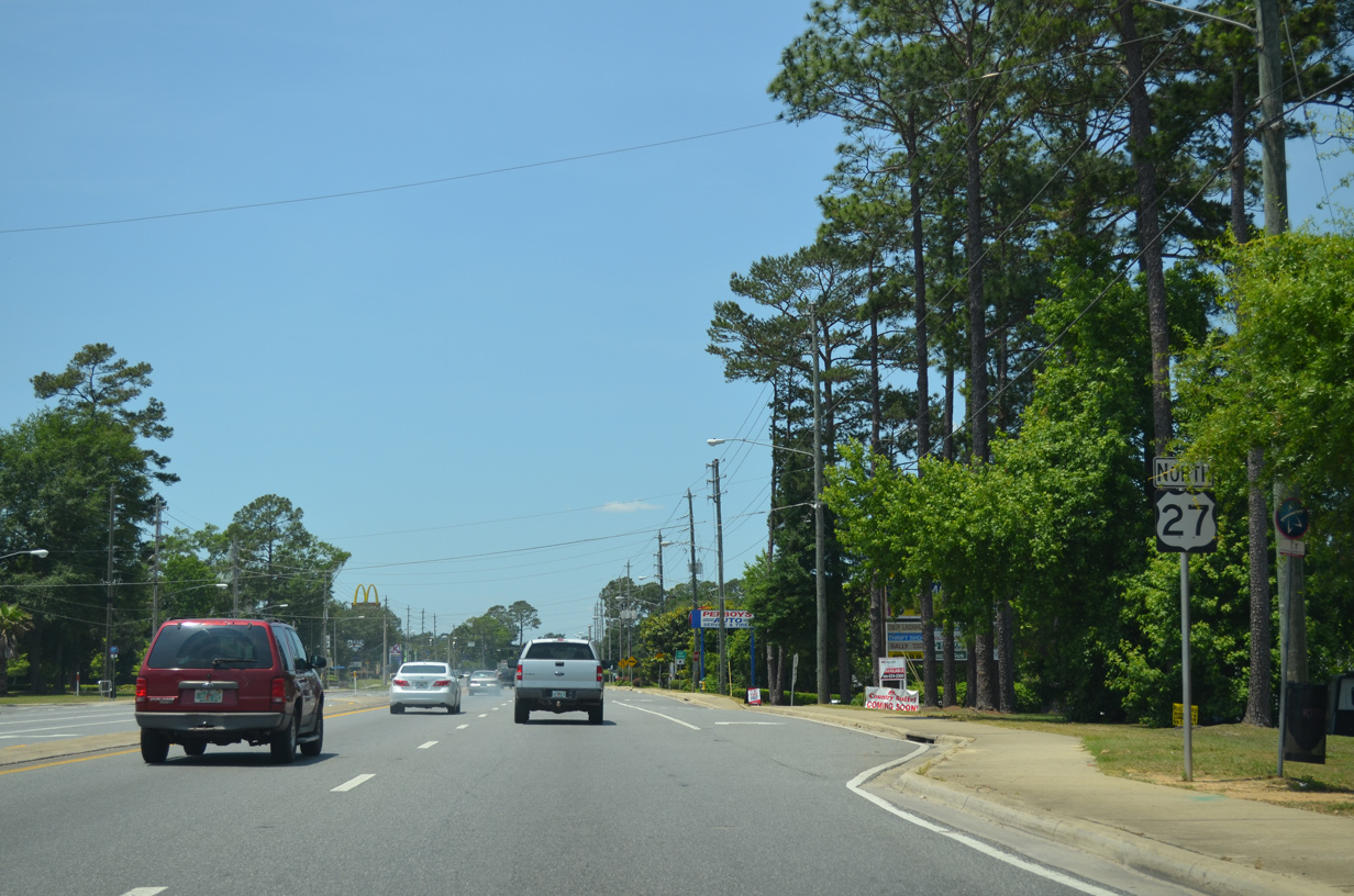
The rural community of Waukeenah is next along U.S. 27 west from Capps.
06/16/22
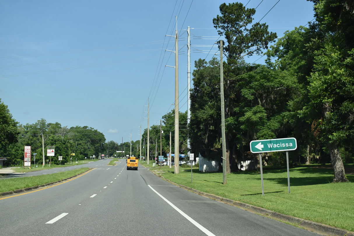
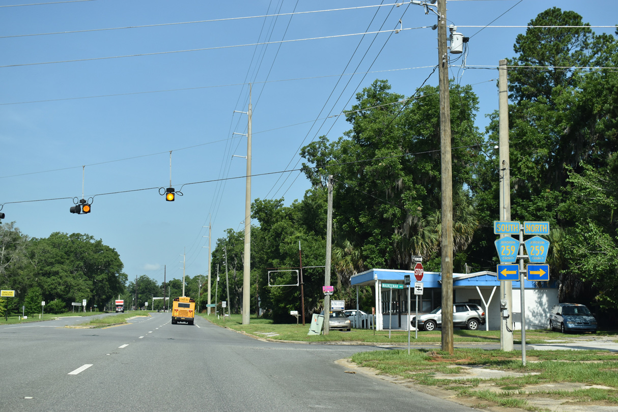
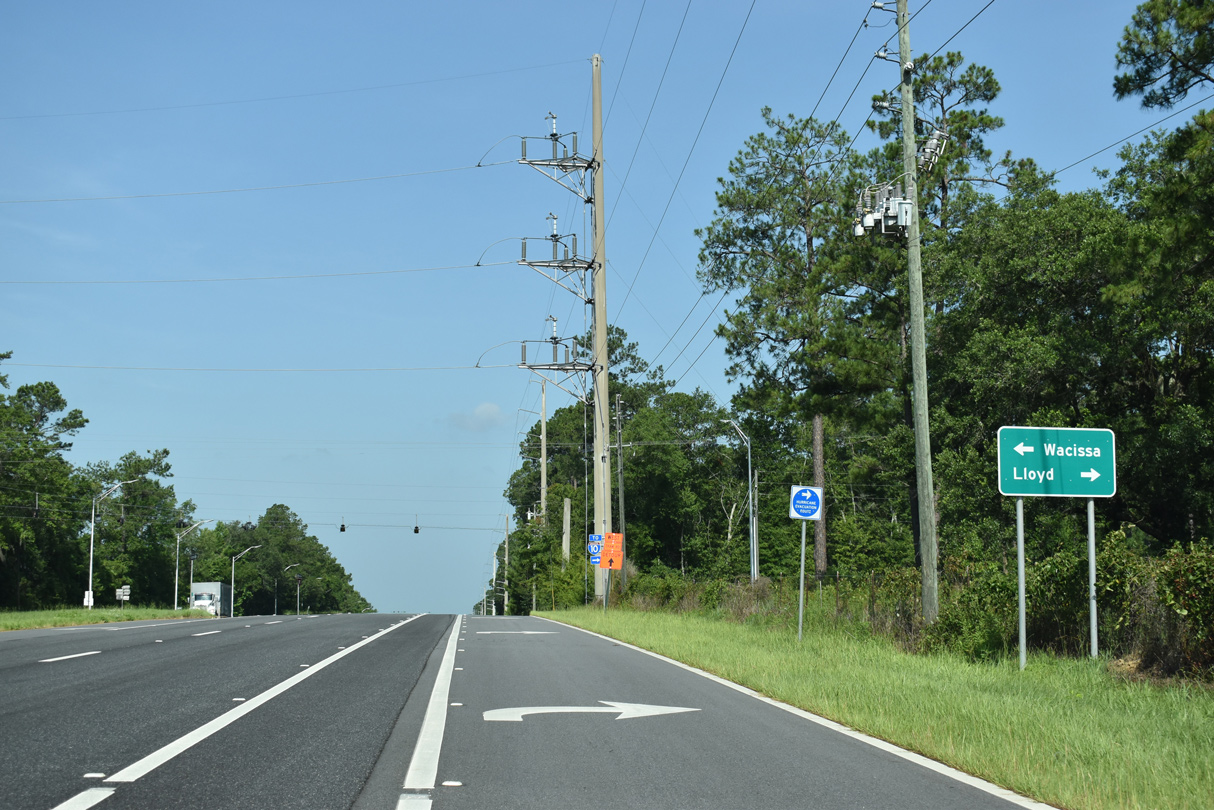
CR 259 crosses paths with U.S. 27 at Wakeenah, five miles northeast of Wacissa.
06/16/22
32.67 miles in length, the southern leg of CR 259 runs south from U.S. 19 at Monticello to Wacissa and west along Tram Road to SR 363 (Monroe Street) in Tallahassee.
06/16/22
06/16/22
06/16/22
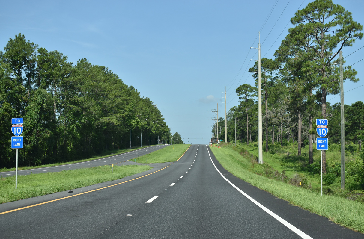
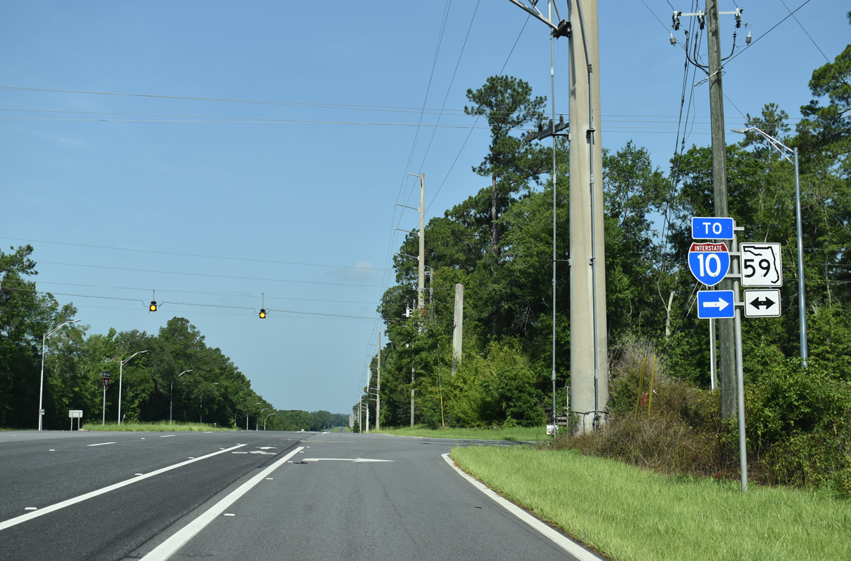
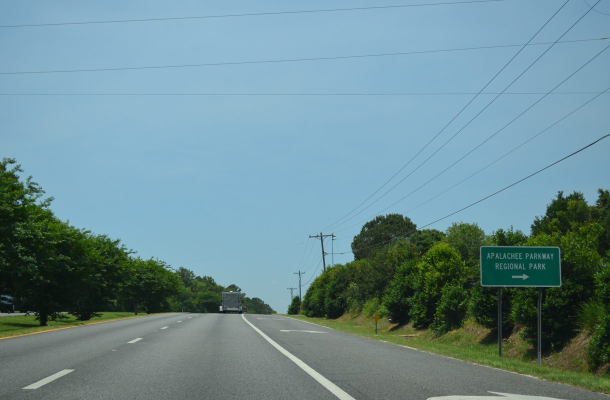
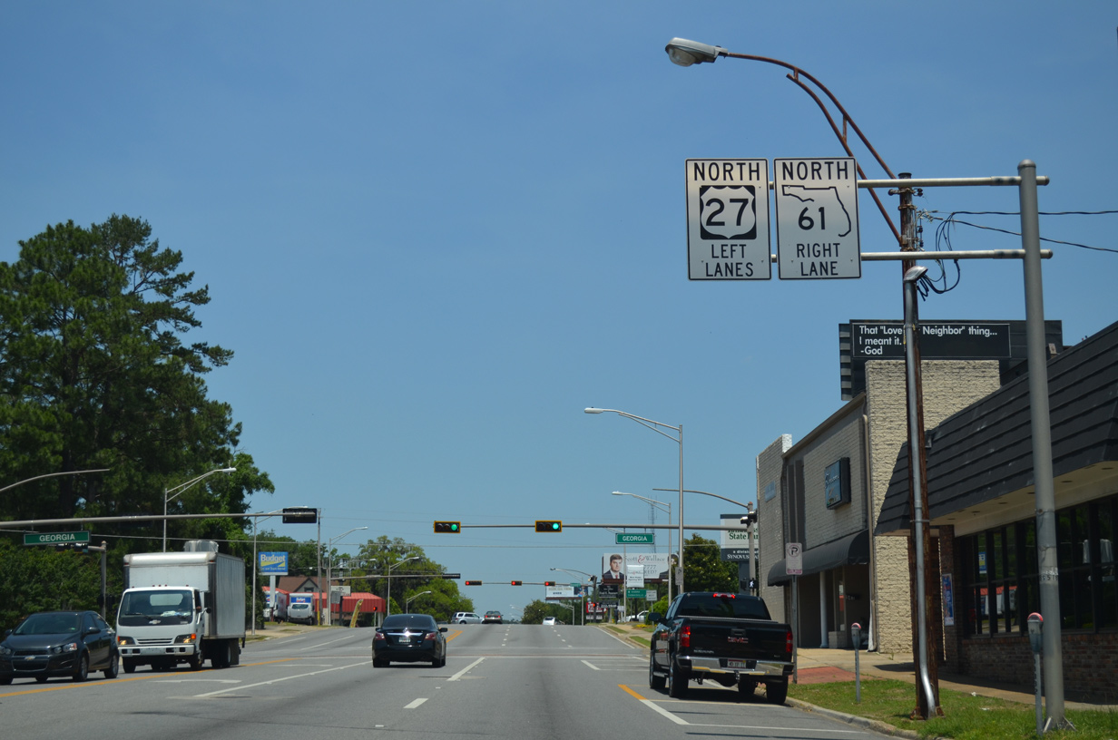
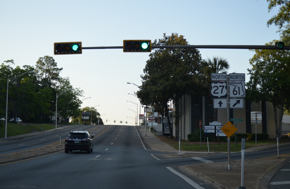
Forthcoming SR 59 represents the next connection between U.S. 27 north and Interstate 10.
06/16/22
SR 59 heads 3.8 miles north from CR 259 (Tram Road) at Wacissa to U.S. 27.
06/16/22
The unincorporated community of Lloyd lies five miles north along SR 59 at CR 158 (Old Lloyd Road).
06/16/22
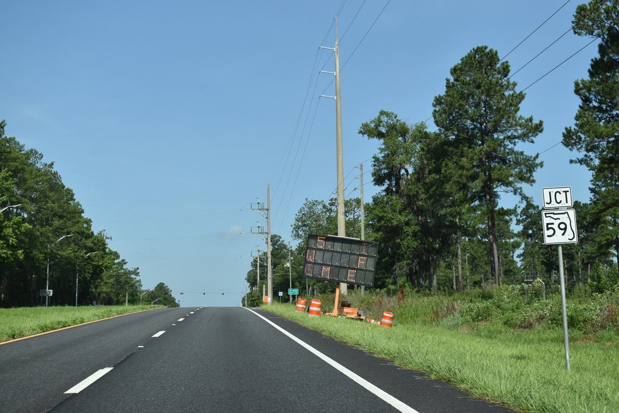
SR 59 travels 25.91 miles overall south to U.S. 98 at Flint Rock Wildlife Management Area and north to U.S. 90 at CR 142 in eastern Leon County.
06/16/22

Williams Road south from U.S. 27 is CR 2197.
05/07/15
Confirming marker posted west of CR 1543 (Chaires Cross Road) north and CR 2195 (W.W. Kelly Road) south.
05/07/15
05/07/15
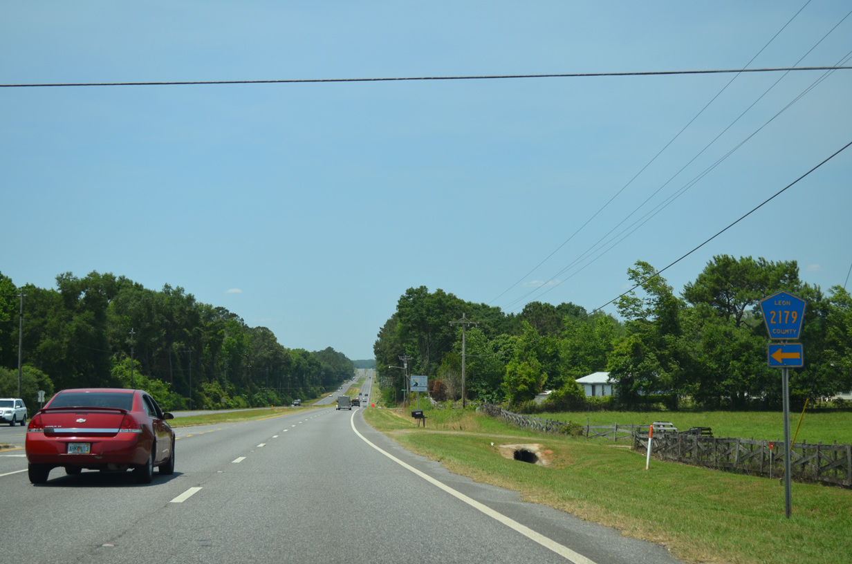
CR 2197 comprises a 4.72 mile long loop to CR 2195 (W.W. Kelly Road) near CR 259 (Tram Road).
05/07/15
Conner Boulevard is an arterial looping 2.18 miles north from U.S. 27 to U.S. 319 (Capital Circle SE) at Park Avenue.
05/07/15
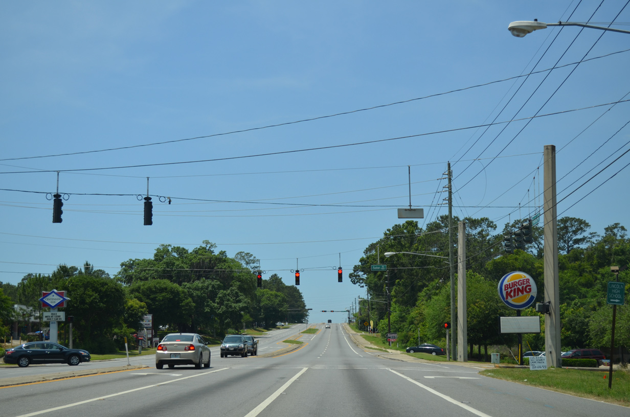
Sutor Road stems north from U.S. 27 (Apalachee Parkway) to Trojan Trail at Lincoln High School.
05/07/15
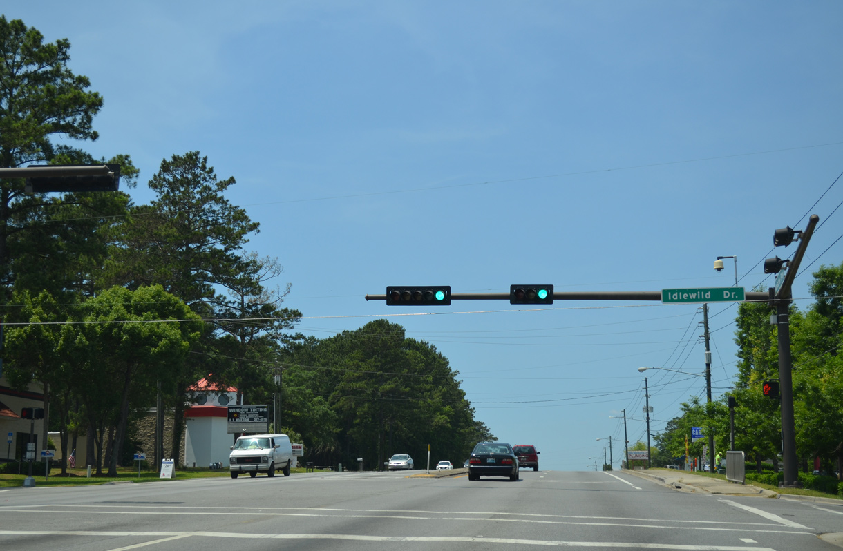
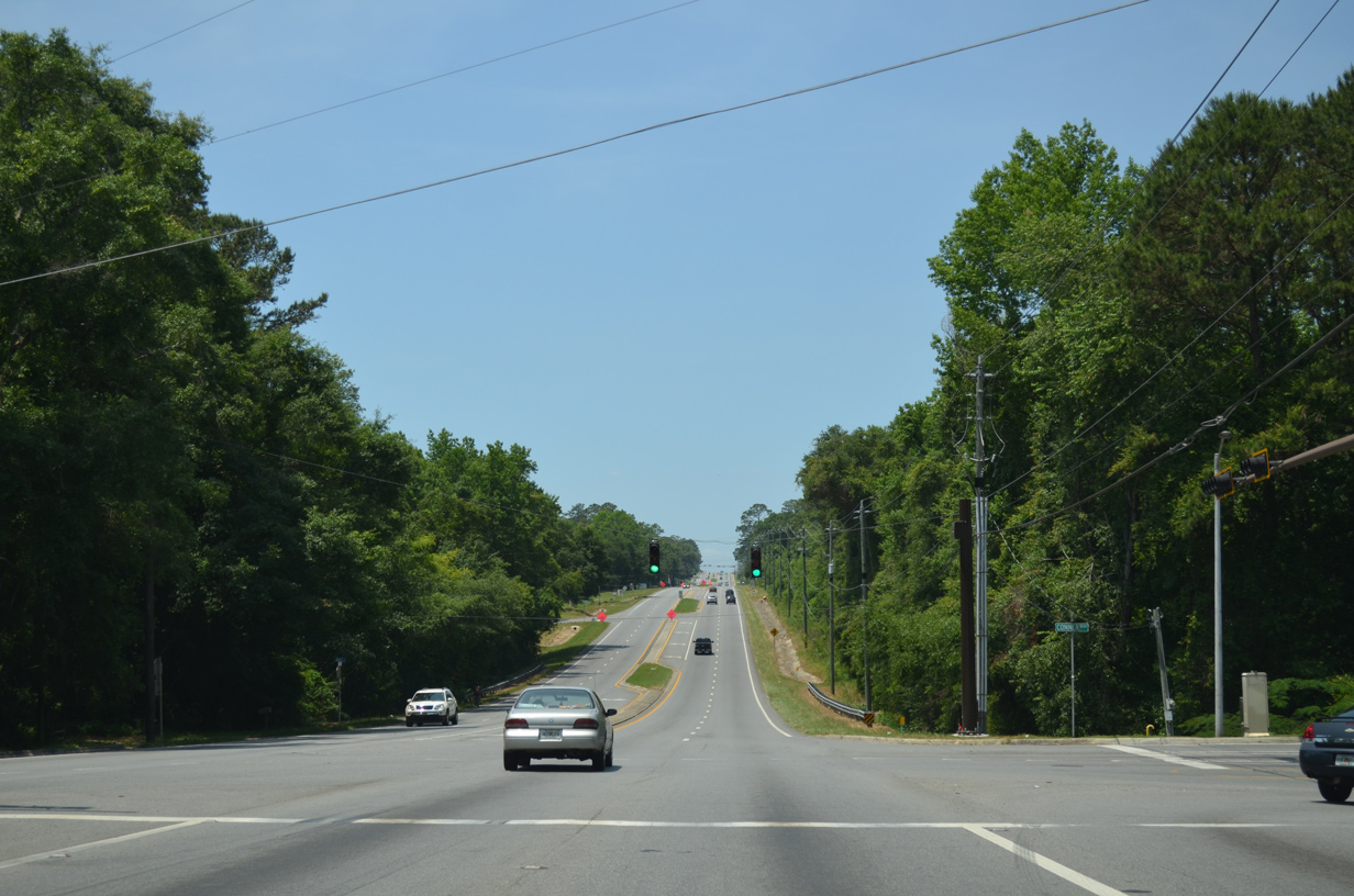
The succeeding traffic light on U.S. 27 (Apalachee Parkway) northbound is at Idlewild Drive in Tallahassee.
05/07/15
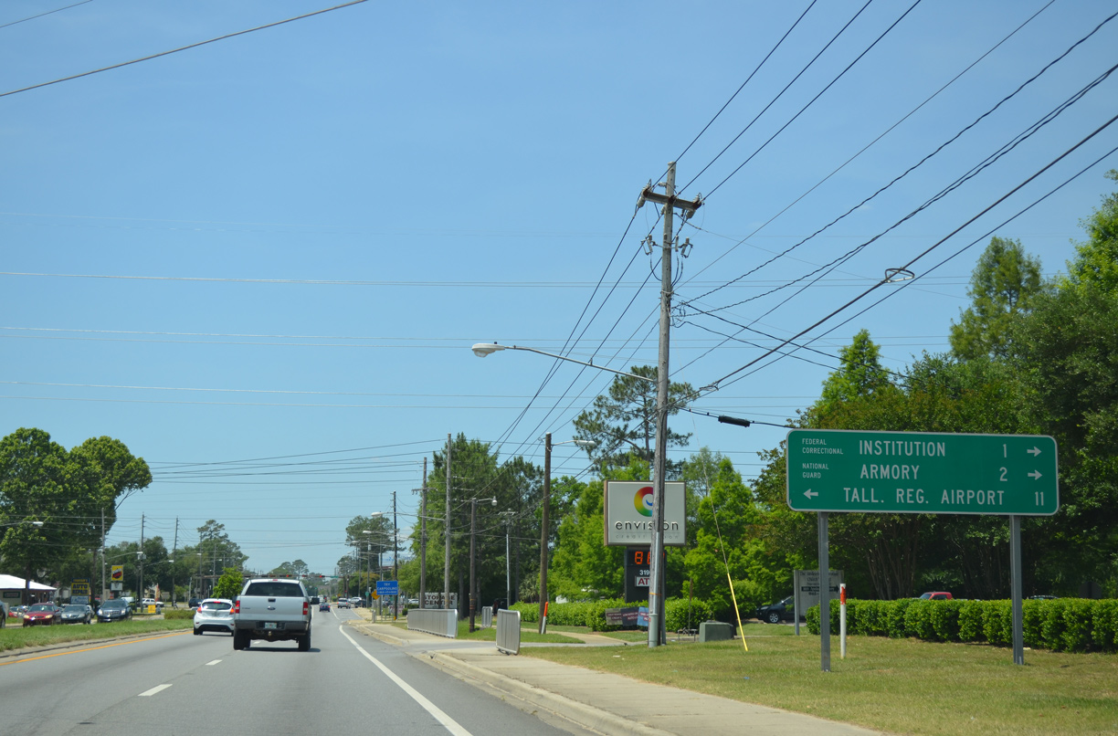
This guide sign for U.S. 319 (Capital Circle SE) was replaced by 2019 to show the renaming of Tallahassee Regional Airport to Tallahassee International Airport (TLH). It was replaced again by 2022 and no longer shows distances.
05/07/15
Forthcoming U.S. 319 follows the eastern half of Capital Circle, an arterial beltway encircling central Tallahassee. This assembly was replaced with an erroneous SR 319 shield by 2022.
05/07/15
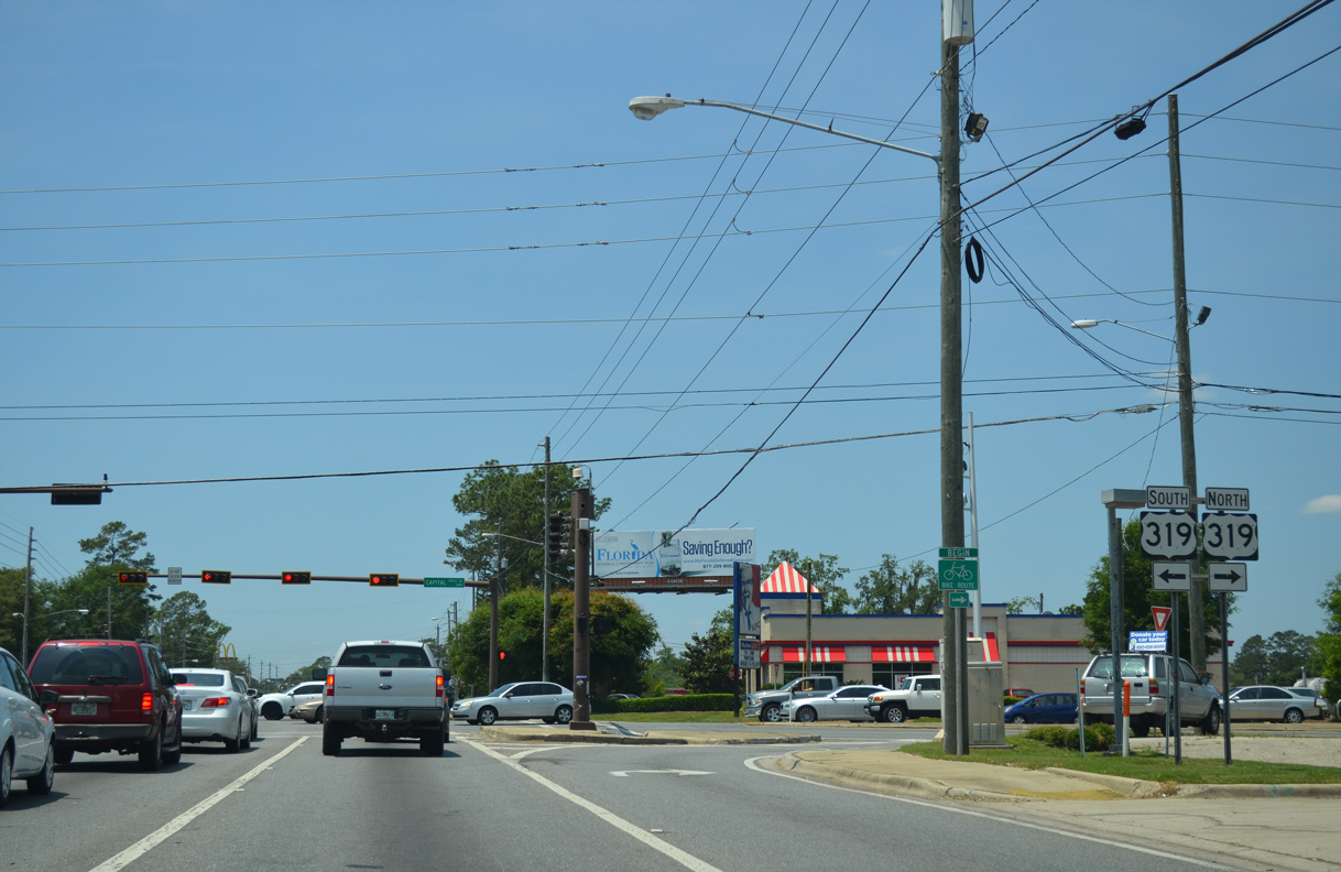
U.S. 319 travels south to Crawfordville, Sopchoppy and Eastpoint along Apalachicola Bay. Northeast from Tallahassee, U.S. 319 continues to Thomasville, Moultrie and Tifton in South Georgia.
05/07/15
05/07/15
05/07/15
Apalachee Parkway west at Executive Center Drive south.
05/07/15

05/07/15
05/07/15
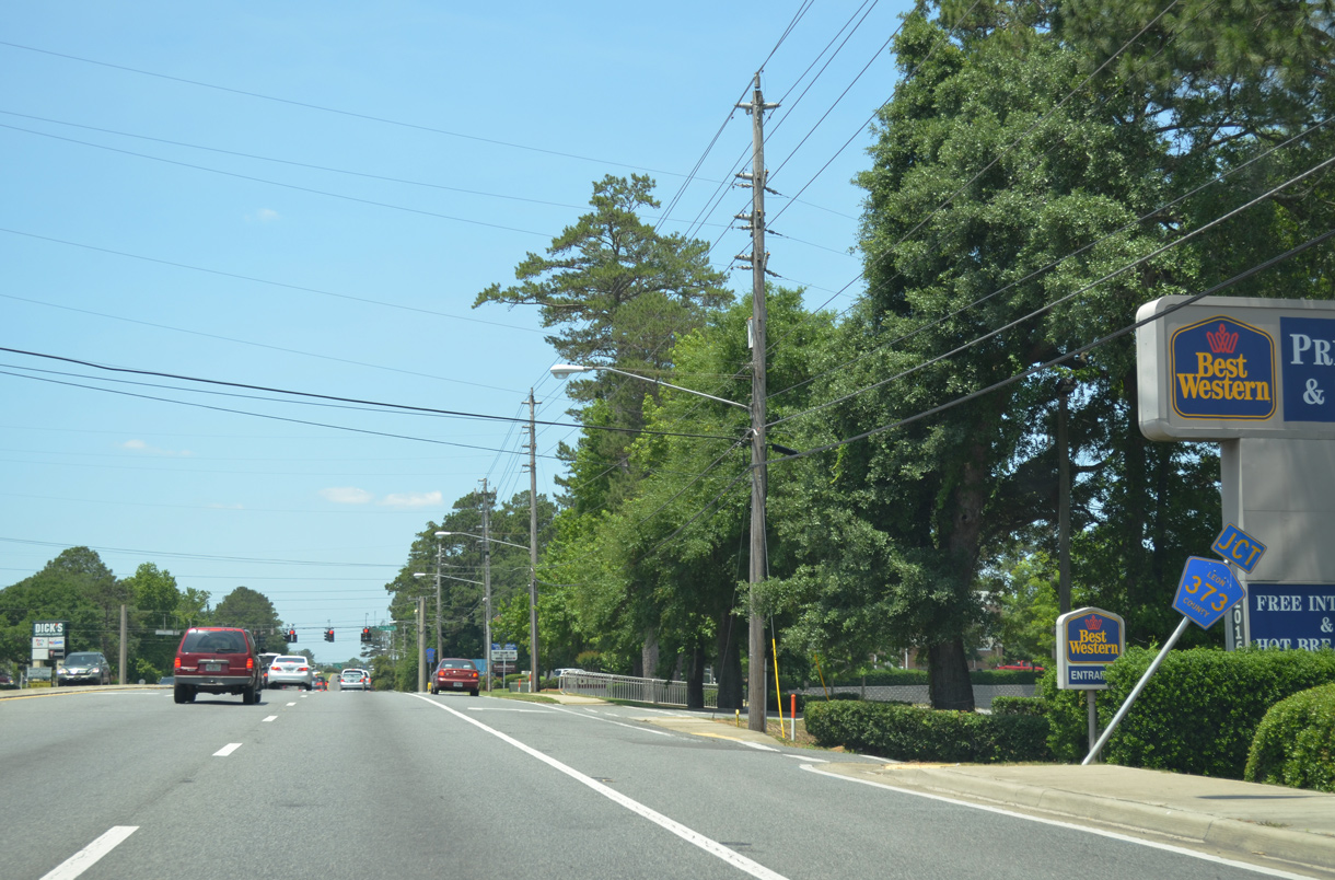
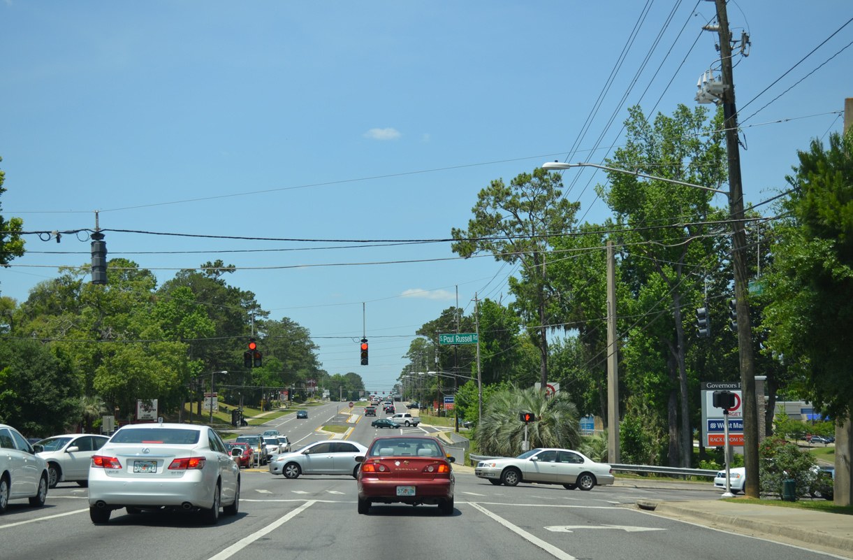
Blair Stone Road 1.34 miles south from U.S. 27 (Apalachee Parkway) to E Orange Avenue is part of CR 373. This shield was removed by July 2015.
05/07/15
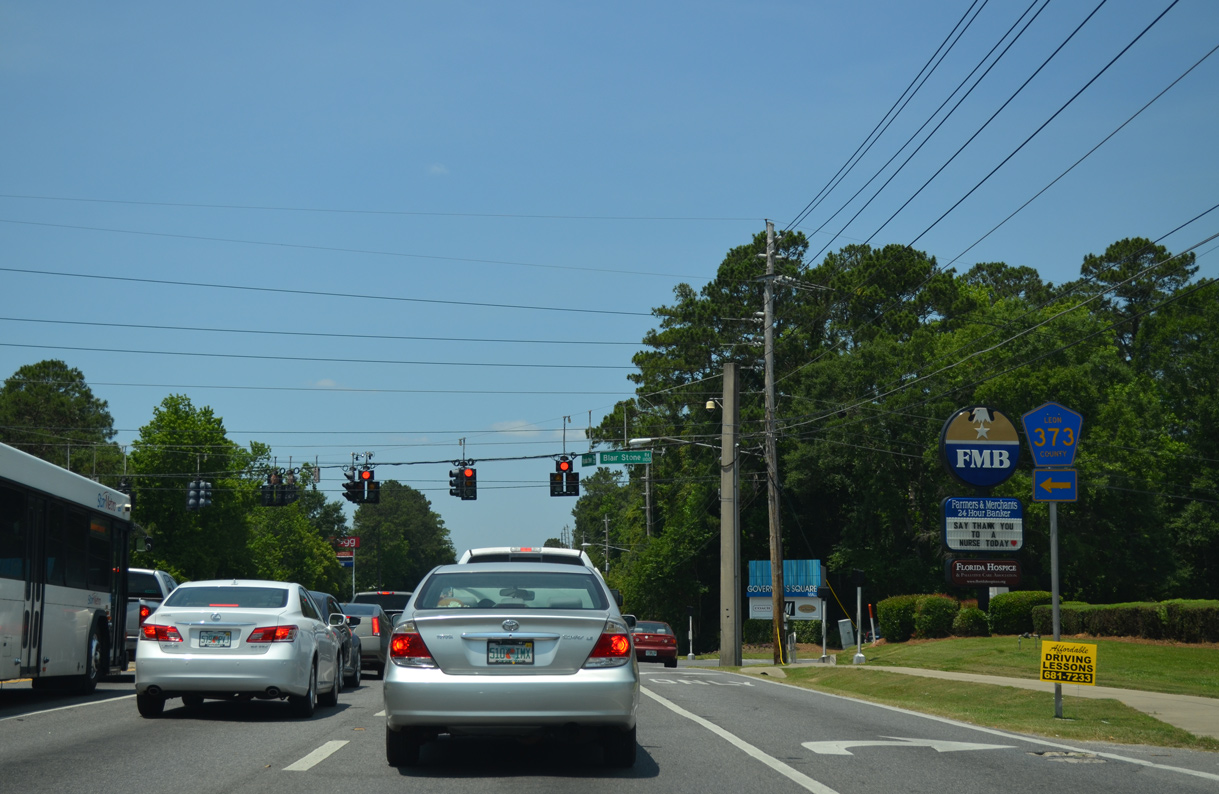
CR 373 turns west onto Orange Avenue from Blair Stone Road 1.76 miles to SR 61 (Monroe Street). SR 373 leads west from there 1.71 miles to SR 371 (Lake Bradford Road).
05/07/15
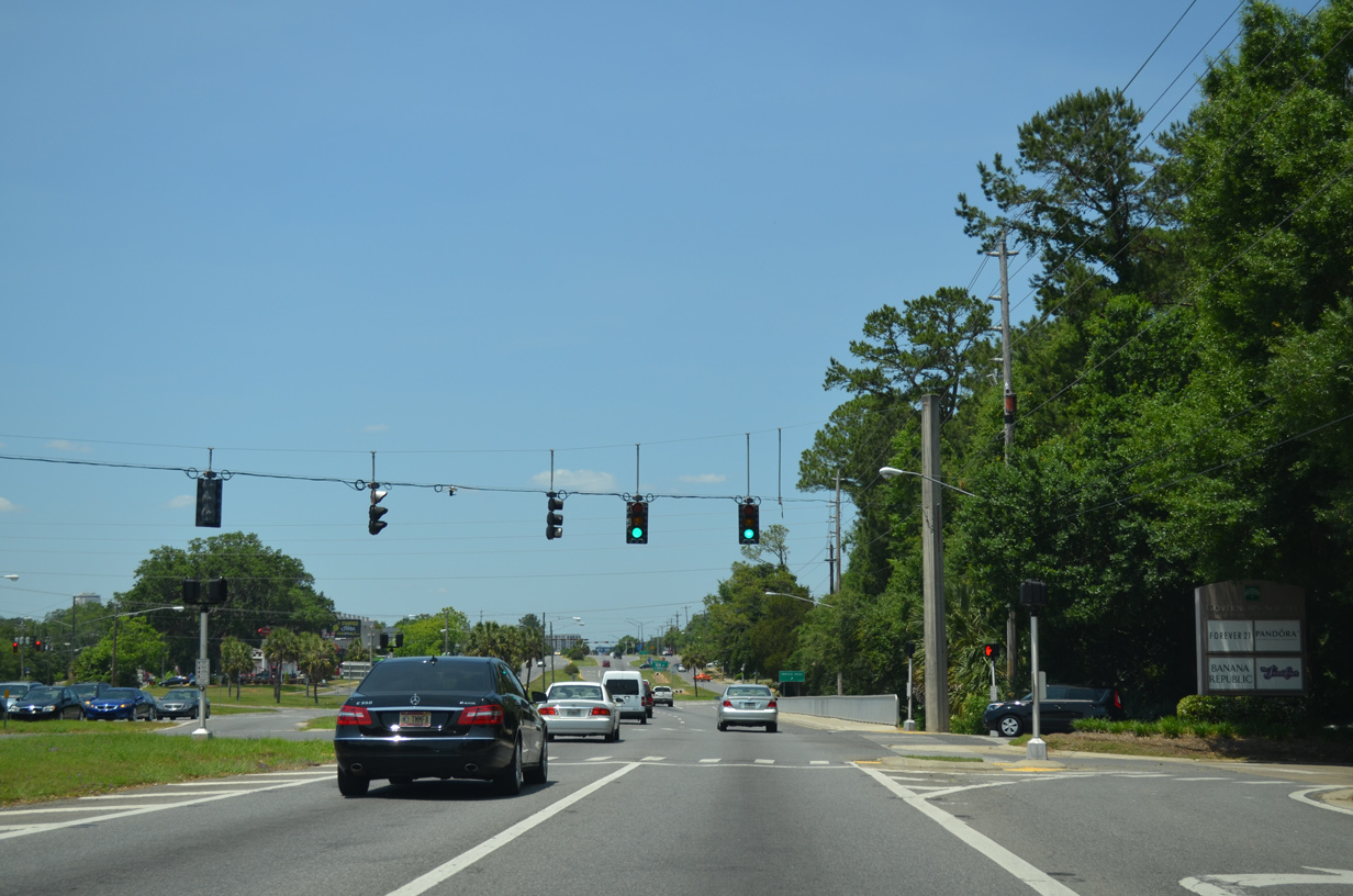
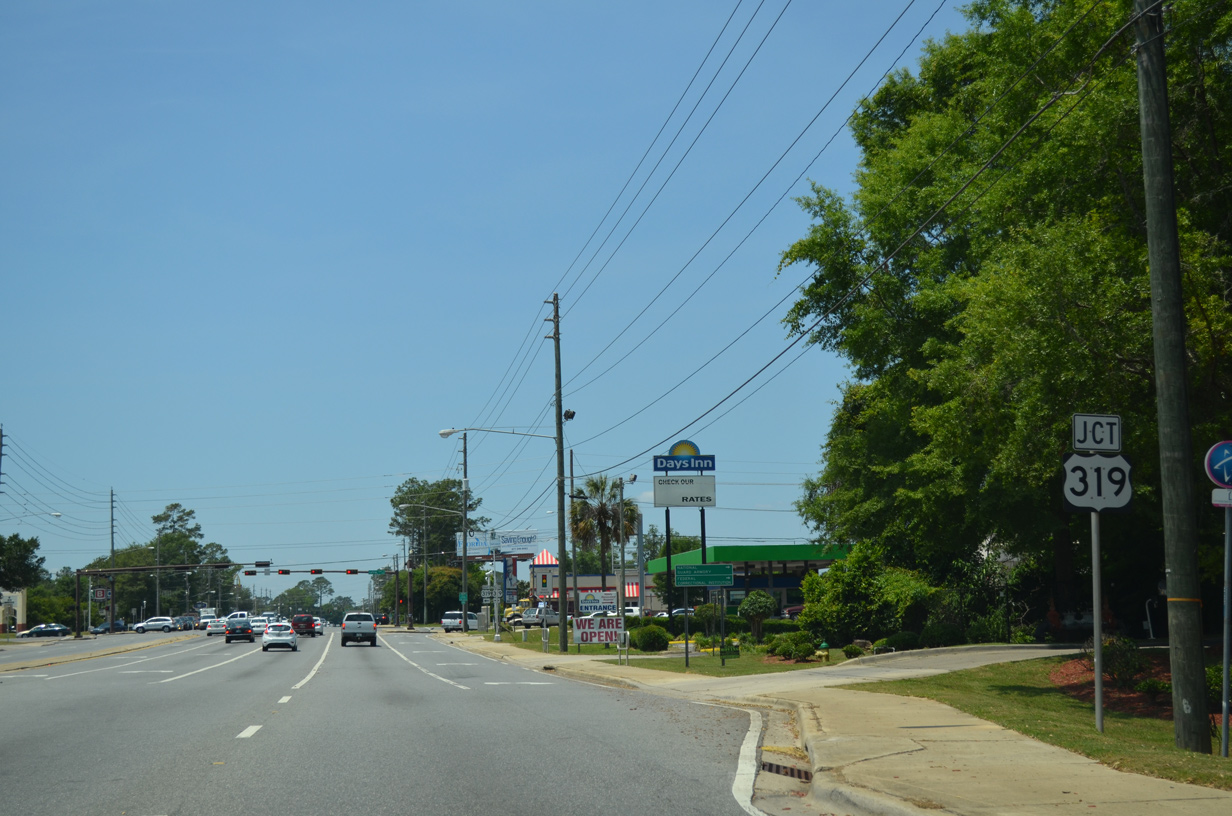
The signalized entrance to Governor's Square mall lies ties into U.S. 27 across from parallel Lafayette Street.
05/07/15
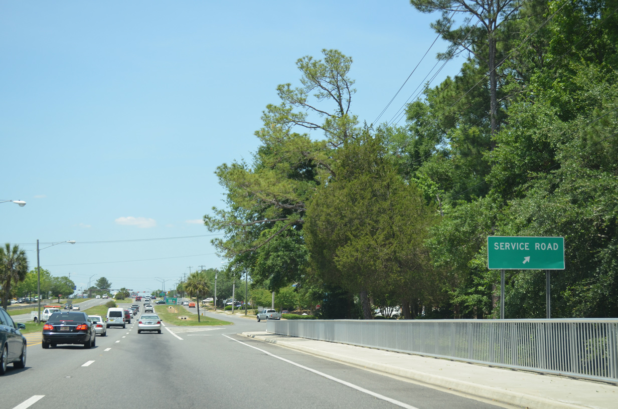
Service roads accompany Apalachee Parkway west ahead of and beyond SR 265 (Magnolia Drive).
05/07/15
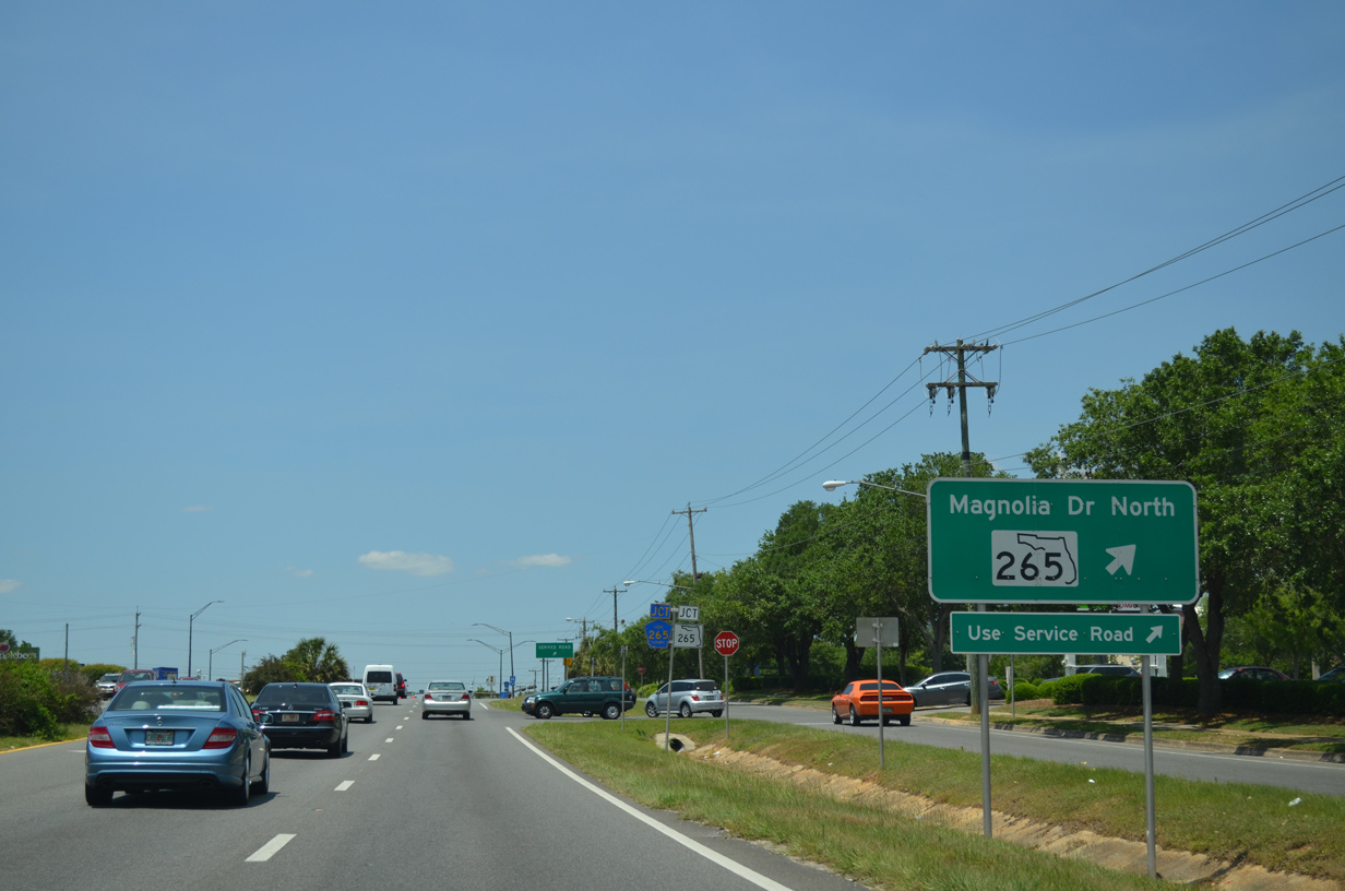
Prior to 2019, the connection from U.S. 27 northbound to SR 265 north along Magnolia Drive utilized the adjacent service road. A right turn lane was added at that time.
05/07/15
SR 265 lines Magnolia Drive north 1.42 miles to E 7th Avenue at Tallahassee Memorial Hospital.
05/07/15
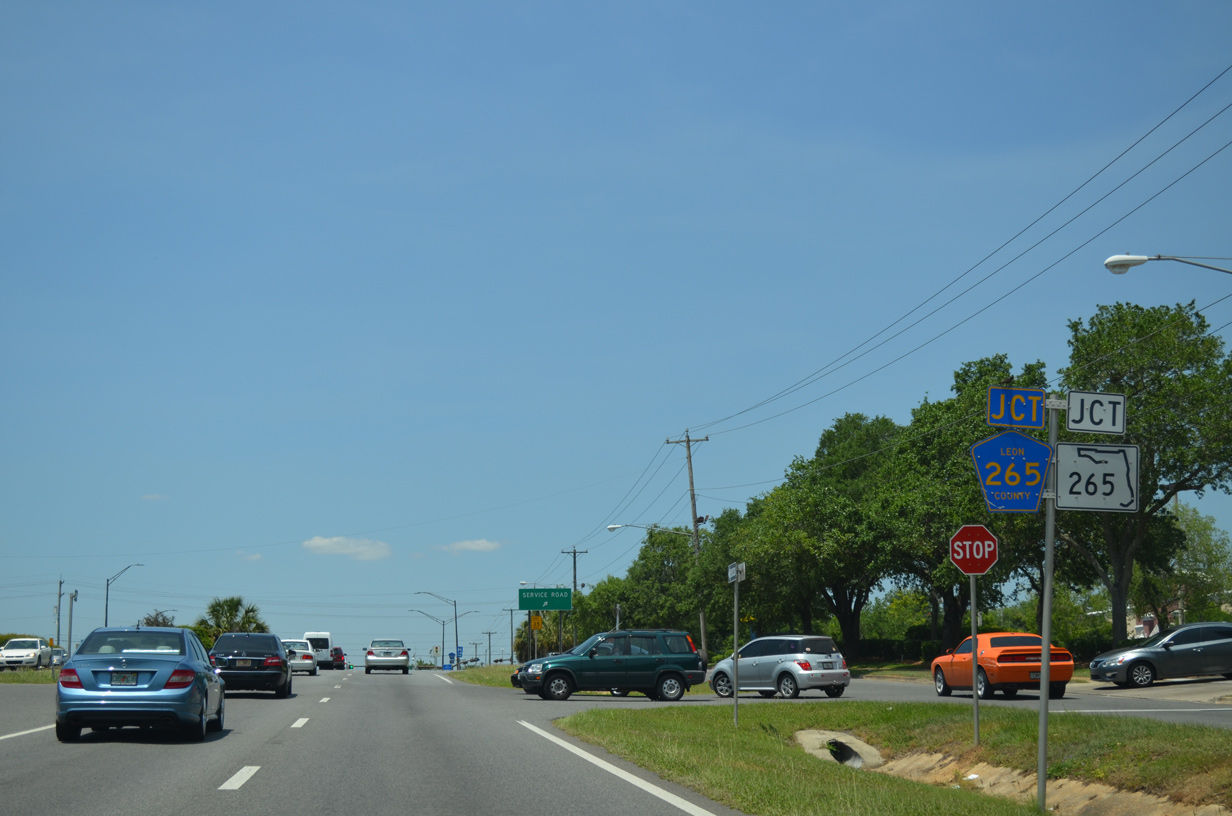
Magnolia Drive southwest 2.15 miles to Capital City Country Club and SR 61 (Monroe Street) is County Road 265.
05/07/15
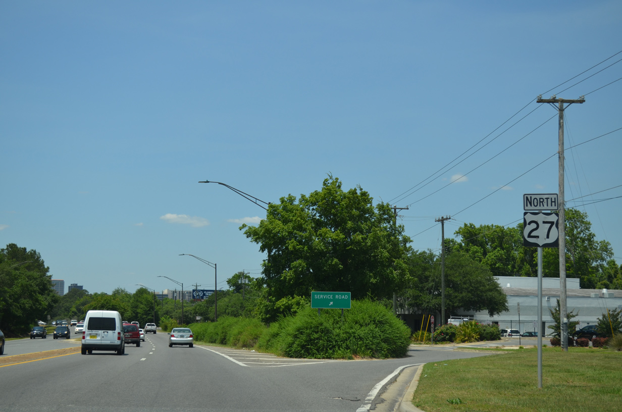
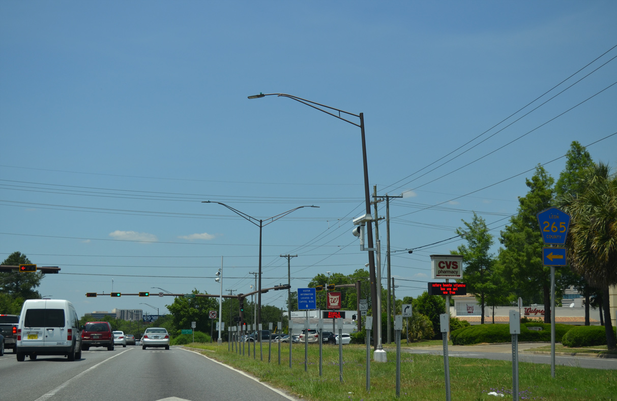
The Apalachee Parkway service road system resumes west from Magnolia Drive to Broward Street.
05/07/15
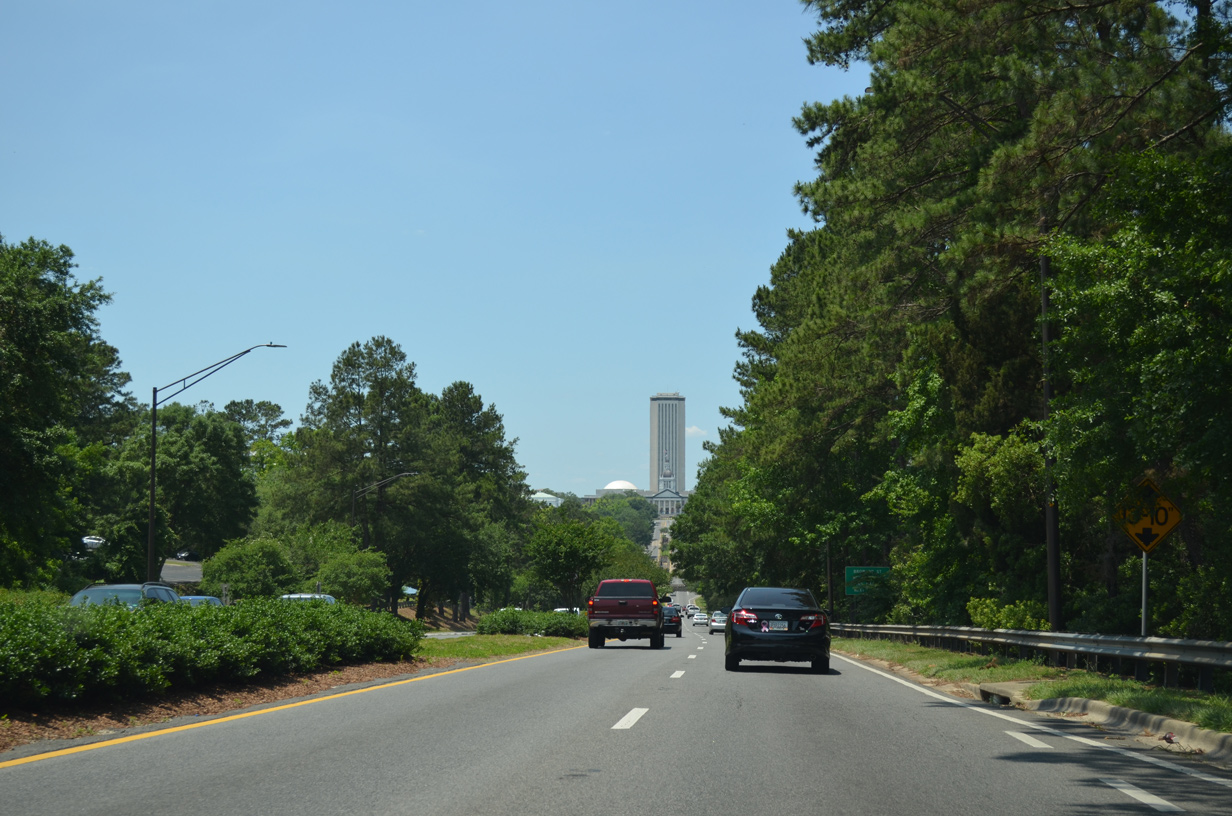
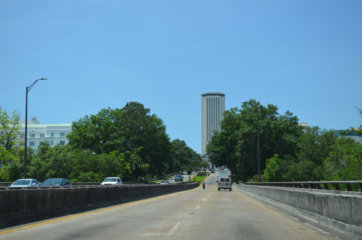
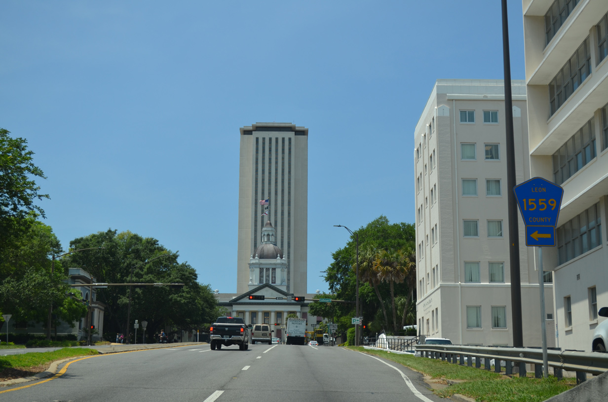
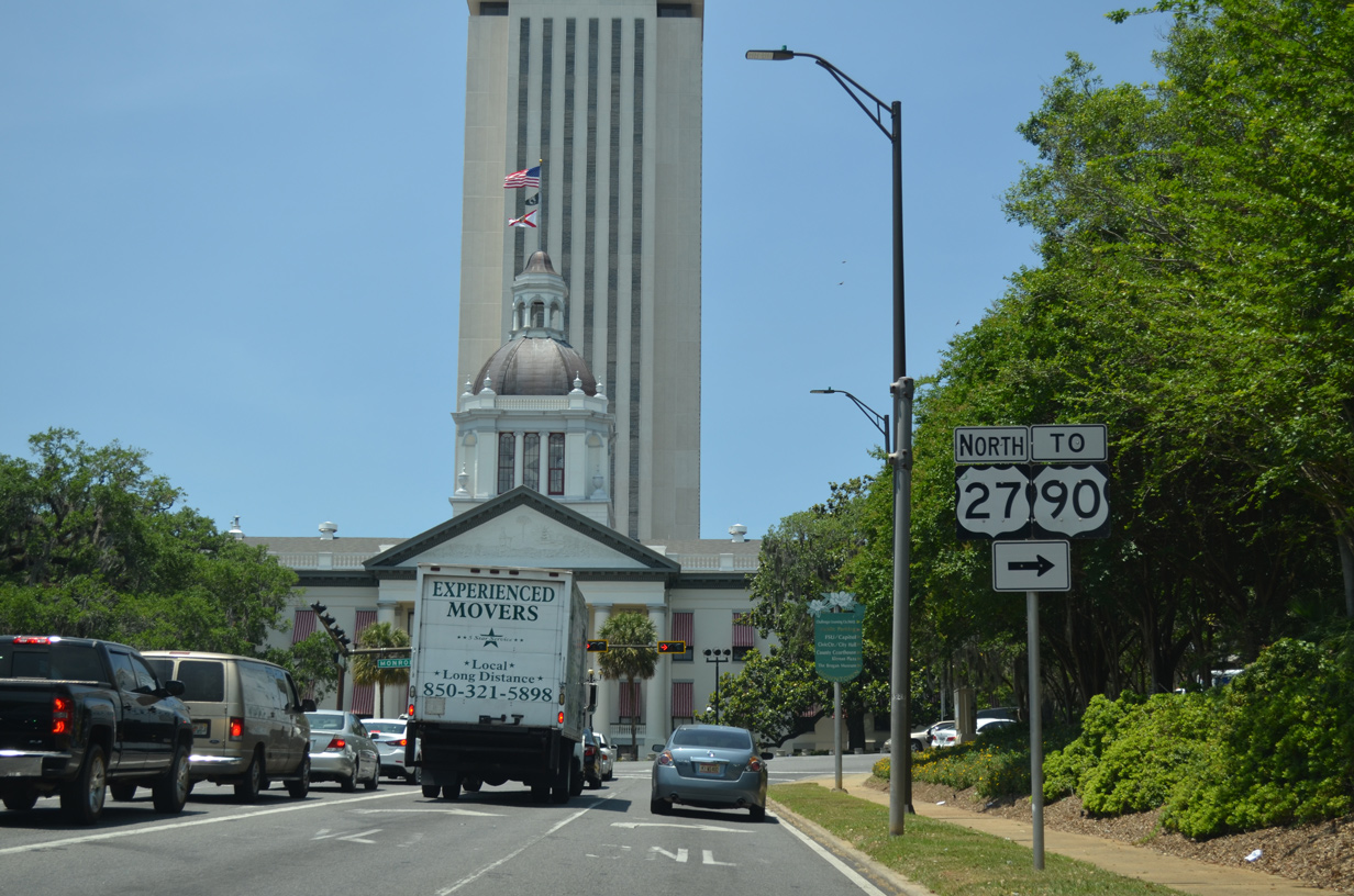
The Florida State Capitol appears at the west end of Apalachee Parkway.
05/07/15
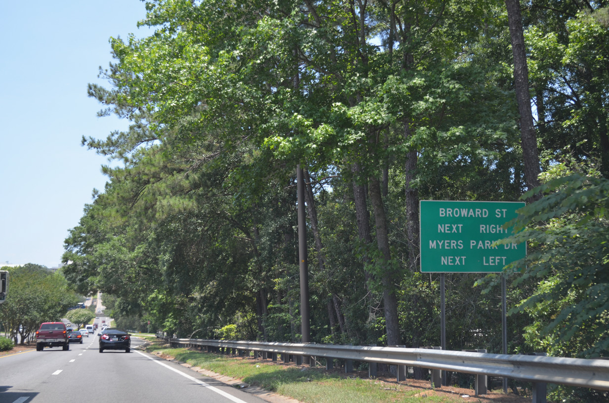
Broward Street south and Myers Park Drive north come together at the succeeding intersection with U.S. 27 northbound.
05/07/15
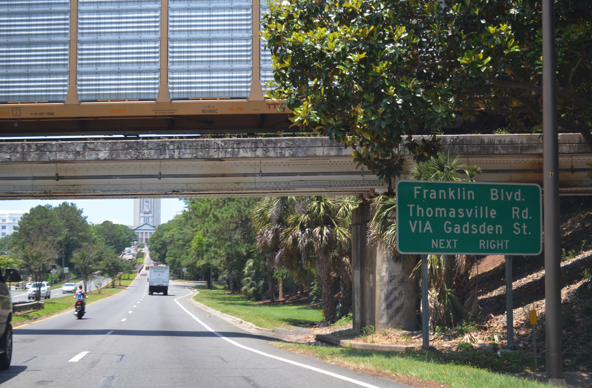
An exit ramp links U.S. 27 northbound with Franklin Boulevard (CR 1555) and Pensacola Street west to Gadsden Street. Gadsden Street (CR 1557) parallels U.S. 27/SR 61 along Monroe Street north to Thomasville Road.
05/07/15
A viaduct takes U.S. 27 (Apalachee Parkway) west across Franklin Boulevard and Meridian Street.
05/07/15
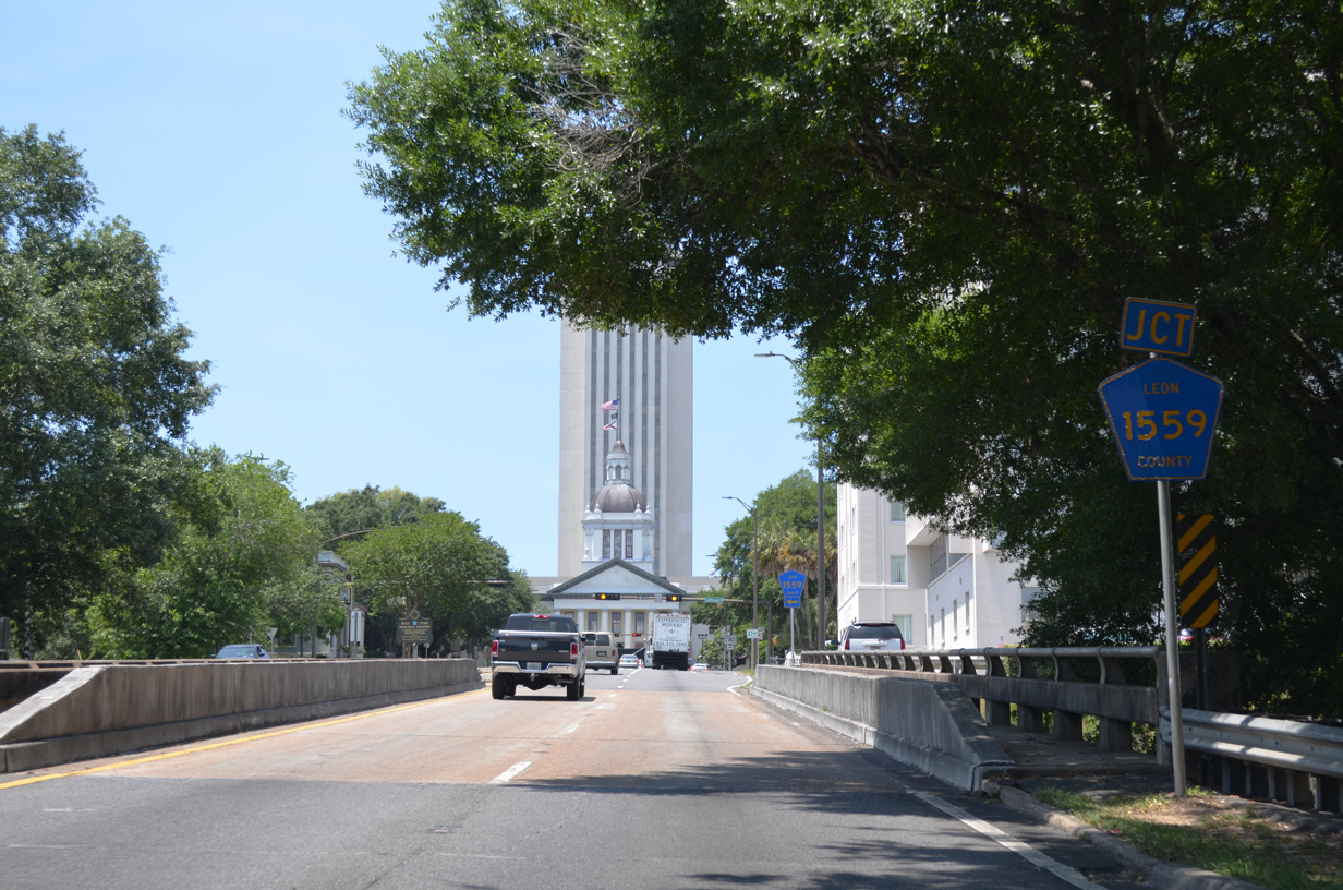
Northbound U.S. 27 spans Gadsden Street (CR 1557) just ahead of CR 1559 (Calhoun Street).
05/07/15
Calhoun Street doubles as CR 1559 north from Gaines Street (CR 1555) 1.10 miles to SR 61 (Thomasville Road). The previous pentagon posted on U.S. 27 references CR 1559 as going north.
05/07/15
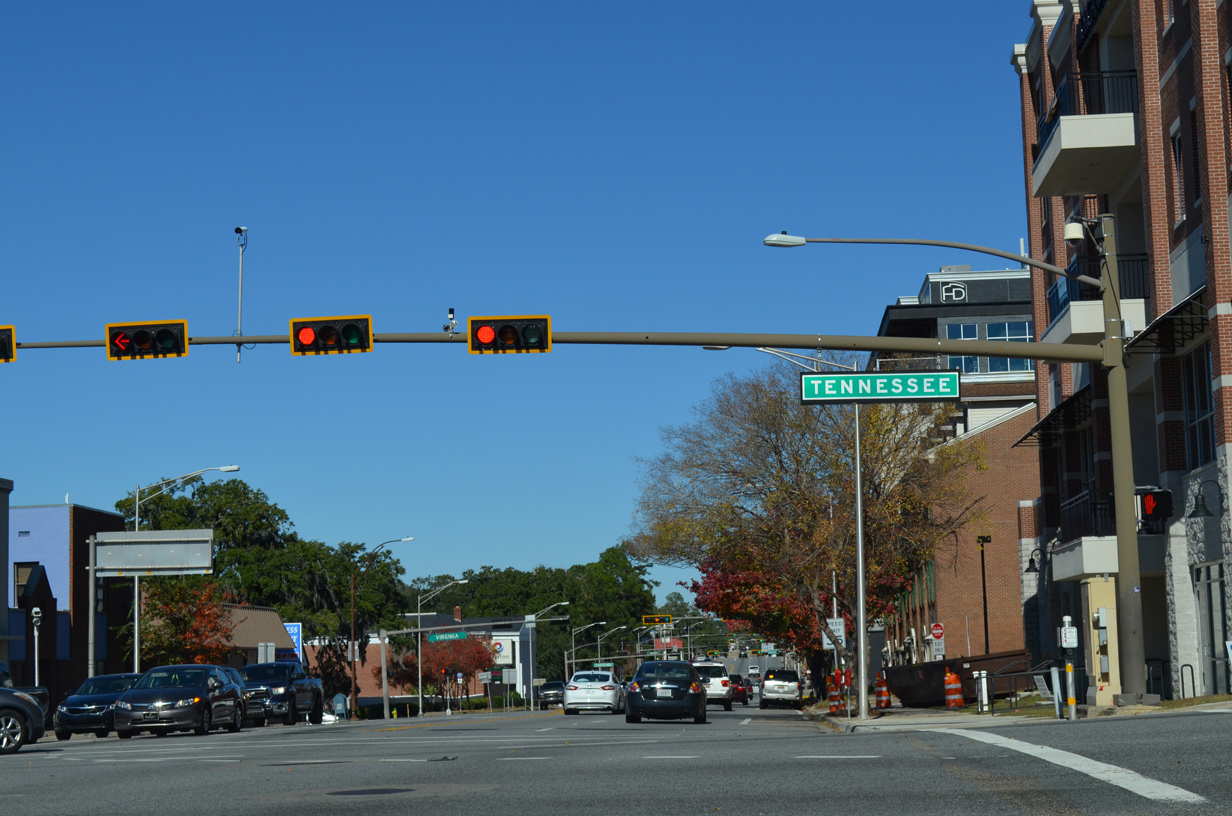
Turning north onto Monroe Street, U.S. 27 combines with SR 61 for 0.45 miles to U.S. 90 (Tennessee Street) and another 0.39 miles to Thomasville Road.
05/07/15
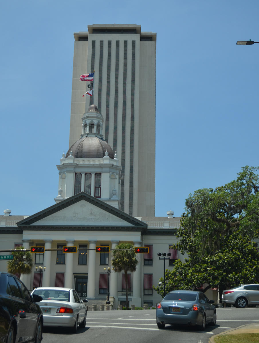
The Florida State Capitol
05/07/15
 North
North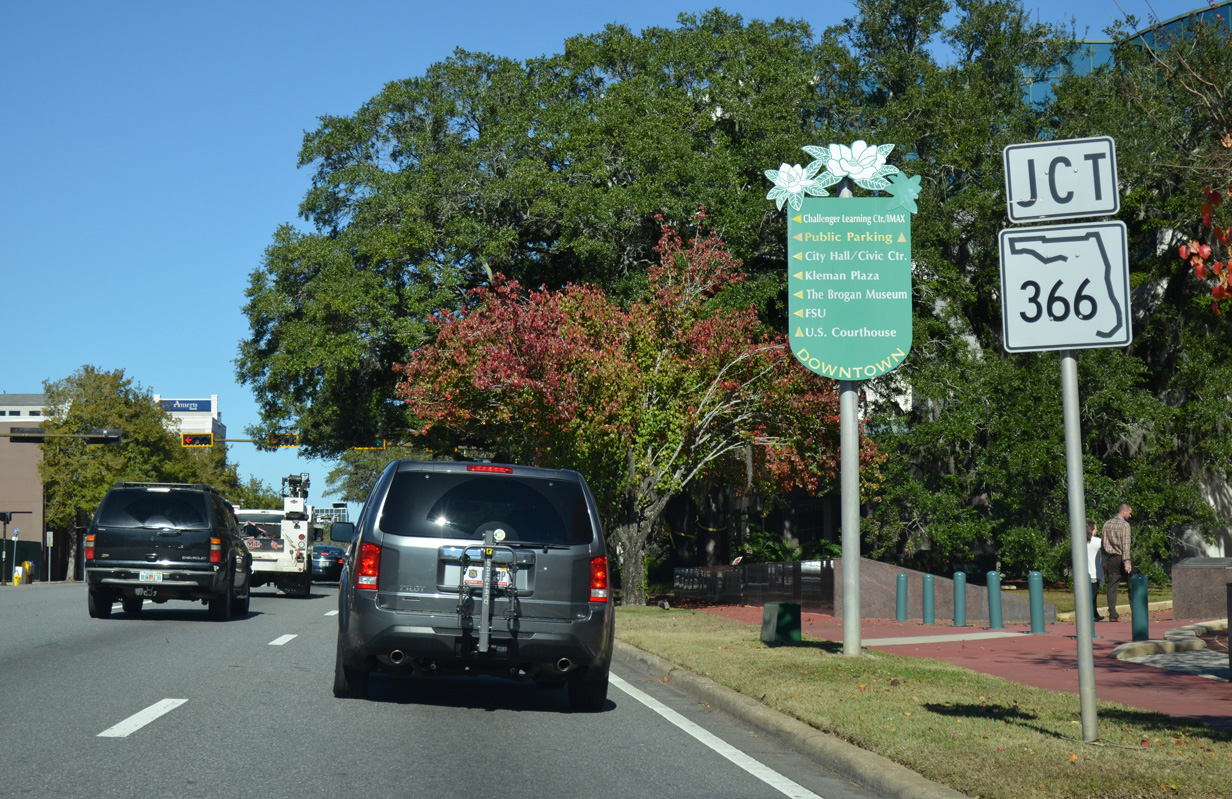
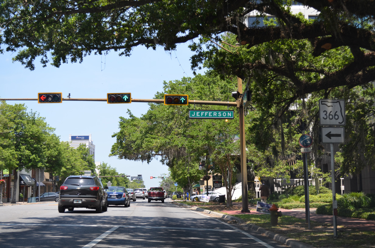
Removed by July 2015, an SR 366 shield preceded Jefferson Street on U.S. 27/SR 61 (Monroe Street) north. Jefferson Street leads one block west to Tallahassee City Hall, where it separates into Adams Street north and W Pensacola Street. SR 366 formerly followed Pensacola Street until it was removed between Varsity Drive and Stadium Drive as part of a redesign of the FSU street system.
11/26/14
Pensacola Street extends west to the Donald L. Tucker Civic Center and Doak Campbell Stadium (home of FSU Seminoles football). The street forms a couplet with St. Augustine Street (old SR 366 east) between Varsity Drive and Monroe Street. SR 366 remains designated 3.16 miles west from SR 371 (Lake Bradford Road) to SR 20 (Blountstown Highway).
05/07/15
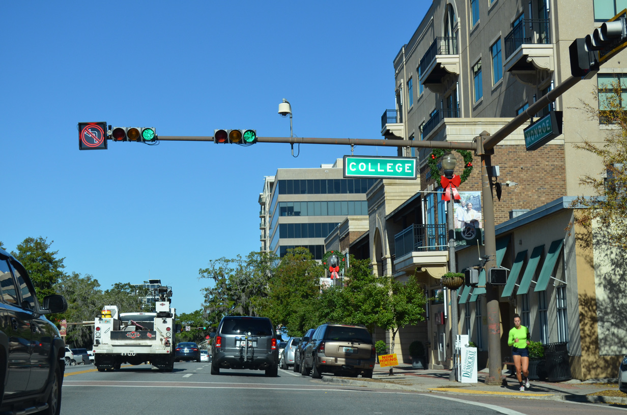
Leaving the capitol complex, U.S. 27/SR 61 (Monroe Street) next intersect College Avenue. College Avenue leads west to the FSU Campus at Copeland Street and east to Crest Street.
11/26/14
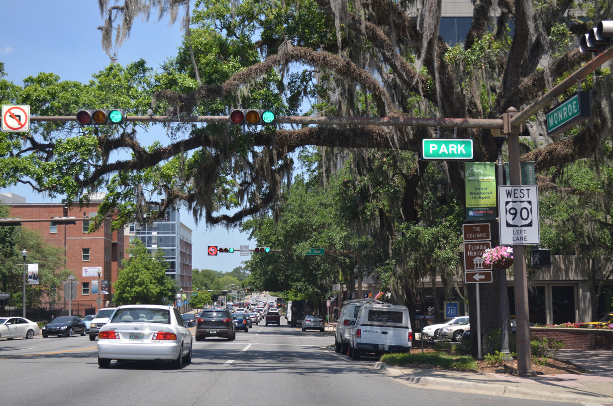
Park Avenue is a landscaped parkway intersecting U.S. 27/SR 61 (Monroe Street) between Ponce de Leon Park and Bloxham Park.
05/07/15
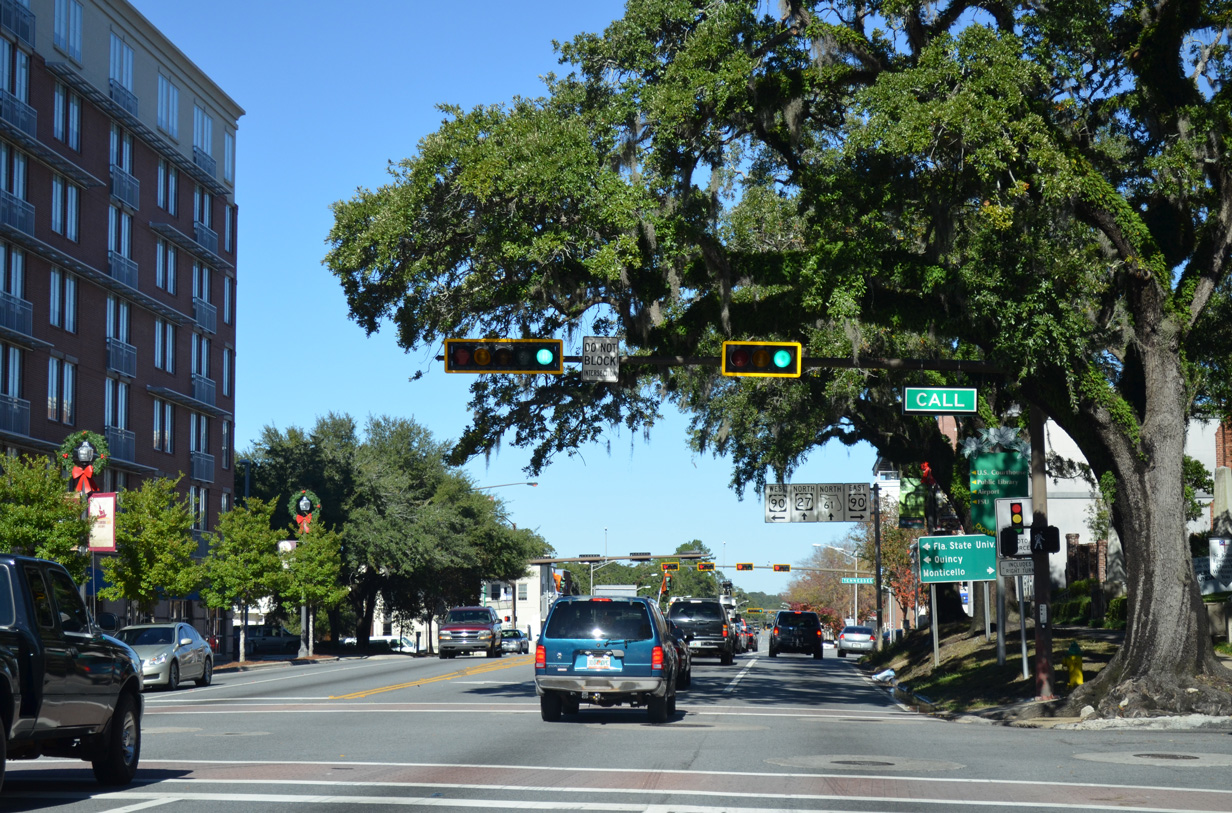
Call Street intersects U.S. 27/SR 61 at the next block. The local street parallels U.S. 90 west to the FSU Campus and east to the Barnette W. Allen Nature Preserve.
11/26/14
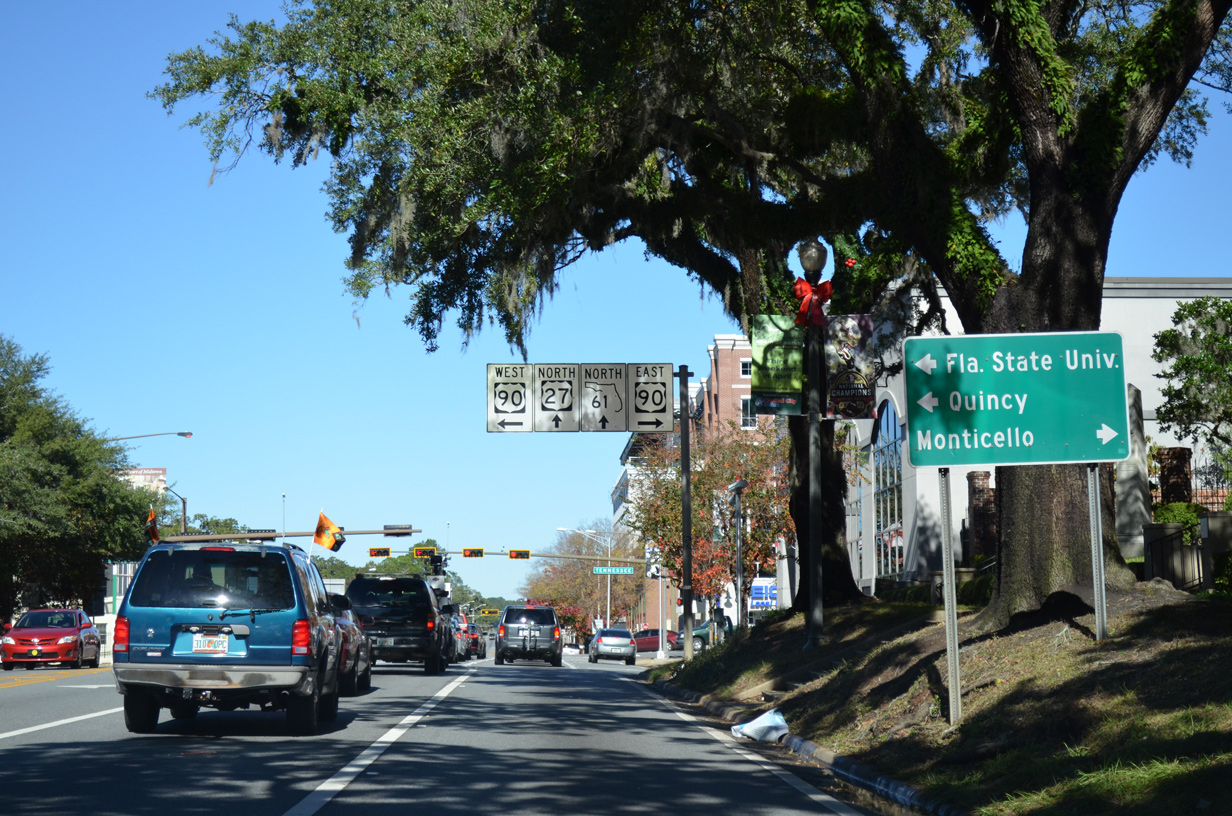
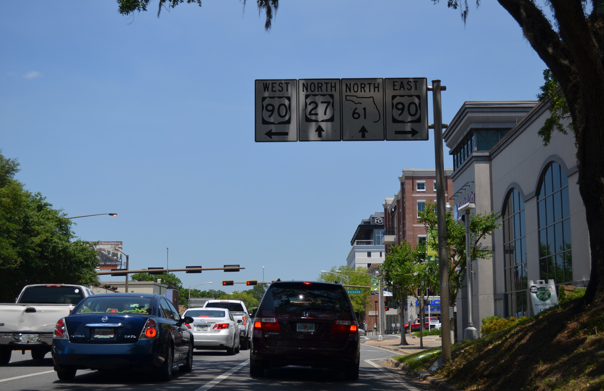
U.S. 90 joins Tallahassee with Quincy in Gadsden County and Monticello in Jefferson County as the local route to Interstate 10 between the two cities.
11/26/14
U.S. 90 (Tennessee Street) takes Mahan Drive from SR 265 (Magnolia Drive) to the eastern suburbs. Tennessee Street winds west across northern reaches of the FSU Campus to leave the city beyond Capital Circle NW (SR 263) en route to Midway.
05/07/15
U.S. 90 constitutes a four lane highway south of Interstate 10 between Exits 192 and 209. The arterial route through Tallahassee moves slowly with numerous traffic lights and retail frontage.
11/26/14
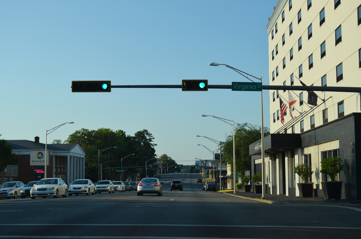
The succeeding traffic light on U.S. 27/SR 61 (Monroe Street) north is at Virginia Street.
05/07/15
05/07/15
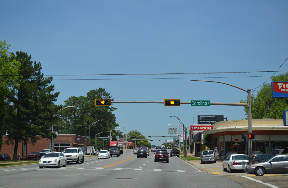
SR 61 branches northeast along Thomasville Road from U.S. 27 (Monroe Street) two blocks beyond Georgia Street.
05/07/15
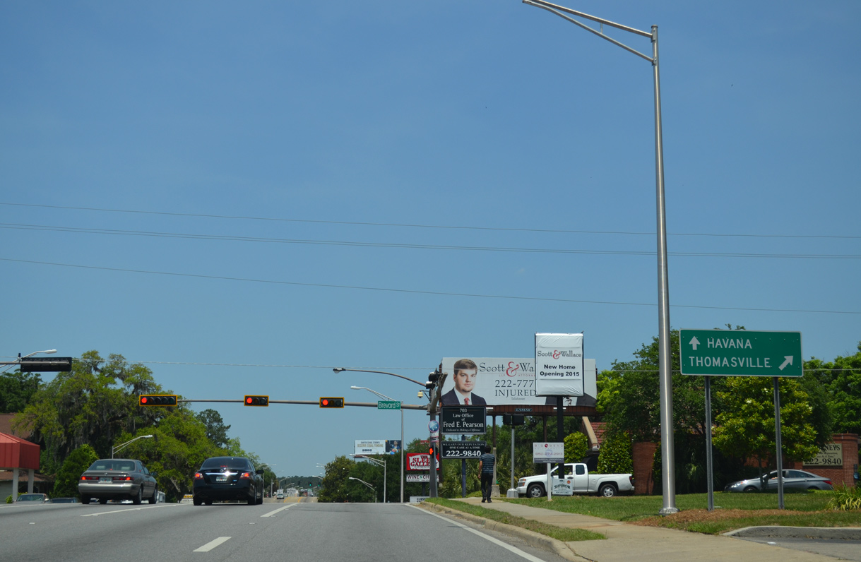
SR 61 (Thomasville Road) continues northeast to Capital Circle NE, where U.S. 319 overtakes the route to Bradfordville, Iamonia and the Georgia state line.
05/07/15
05/07/15
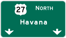
Photo Credits:
11/26/14, 05/07/15, 06/16/22 by AARoads
Connect with:
Interstate 10
U.S. 90
U.S. 319
State Road 61
State Road 366
Page Updated 07-28-2023.