|
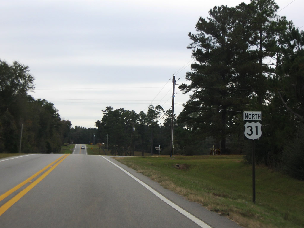
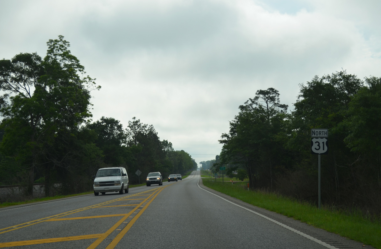
| Paralleling a CSX Railroad line, U.S. 31 advances east from the Baldwin County line to the unincorporated community of Nokomis. 05/12/16 |
|
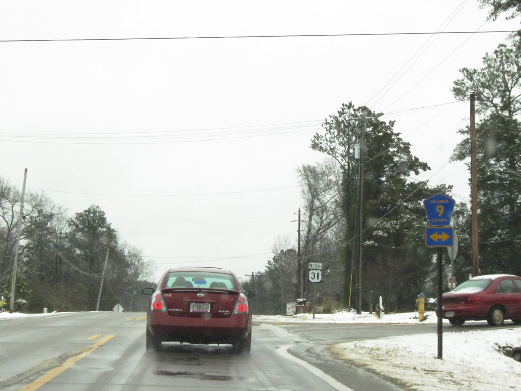
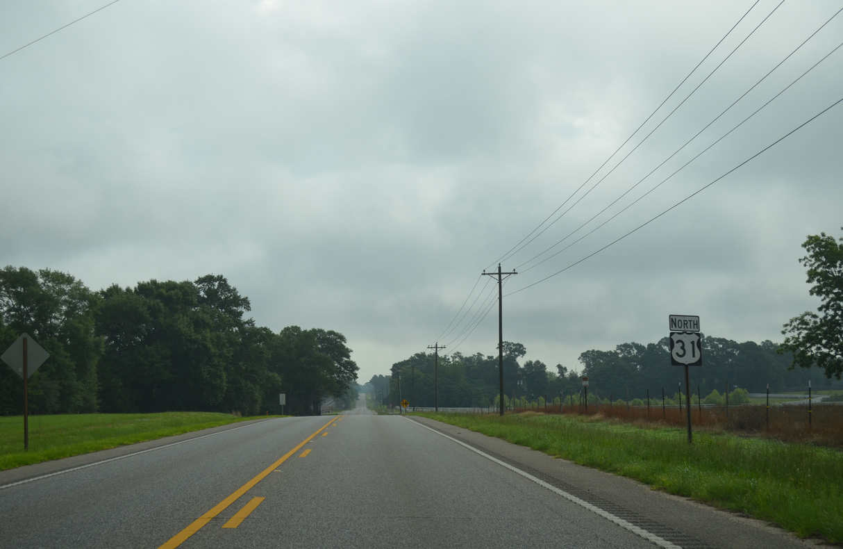
| Pineville Road extends north from Escambia County in extreme northwestern Florida to U.S. 31 ahead of this reassurance marker. 05/12/16 |
|
| U.S. 31 lowers to cross Brushy Creek adjacent to the CSX Railroad. 05/12/16 |
|
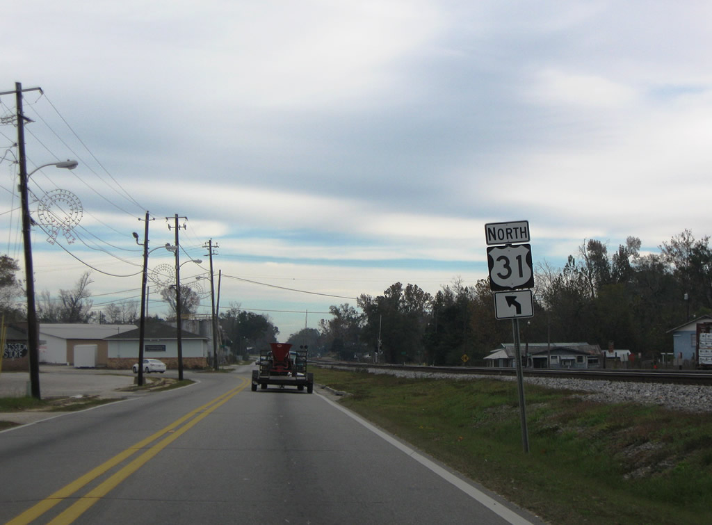
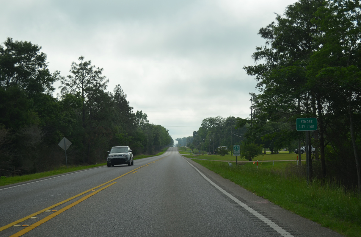
| U.S. 31 runs along the Atmore city line east past Swift Mill Road. 05/12/16 |
|
| Following Nashville Avenue, U.S. 31 northbound wholly enters Atmore east at Cinderbran Drive. 05/12/16 |
|
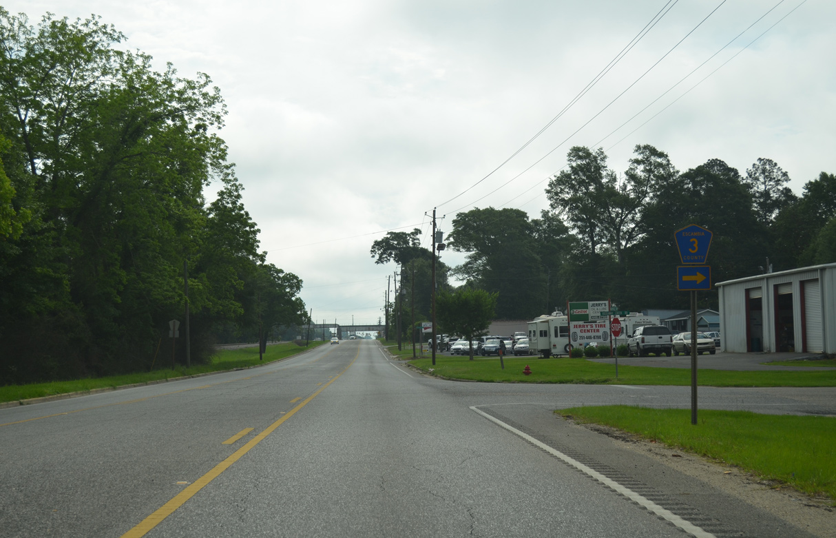
| Rockaway Creek Road is CR 3 south from U.S. 31 (Nashville Avenue) to Cinderbran Drive in Atmore. 05/12/16 |
|
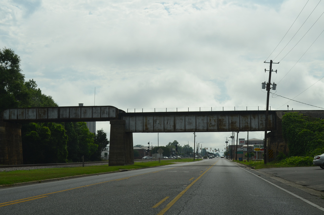
| The Alabama & Gulfcoast Railway spans Nashville Avenue east of Highland Avenue across a bridge built in 1927. 05/12/16 |
|
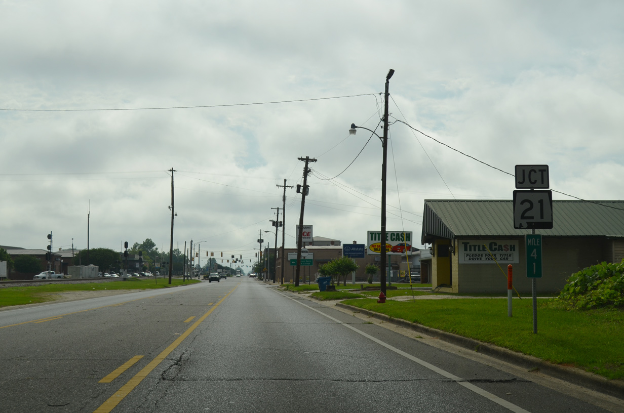
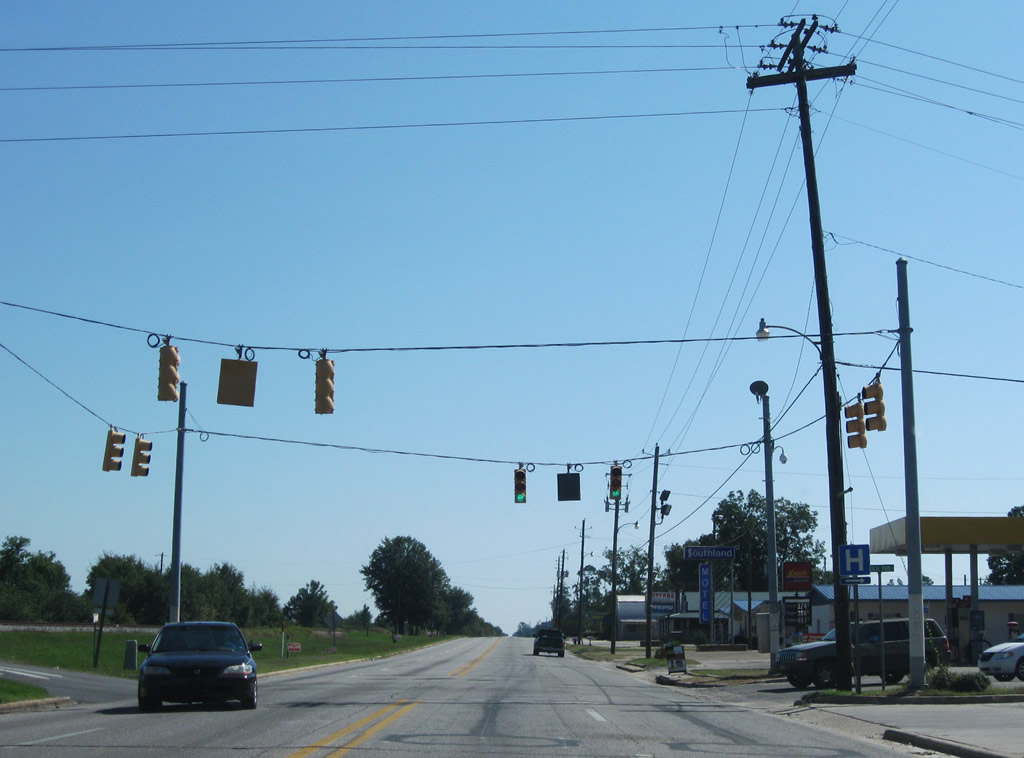
| U.S. 31 proceeds east to SR 21 (Main Street) in Downtown Atmore. 05/12/16 |
|
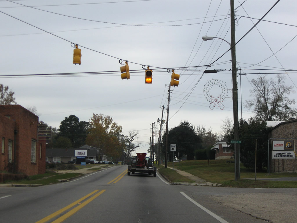
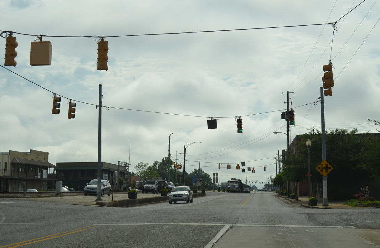
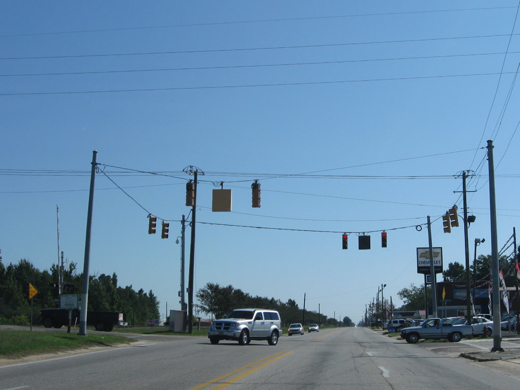
| Trammell Street intersects U.S. 31 at the first of four traffic lights along Nashville Avenue in Atmore. 05/12/16 |
|
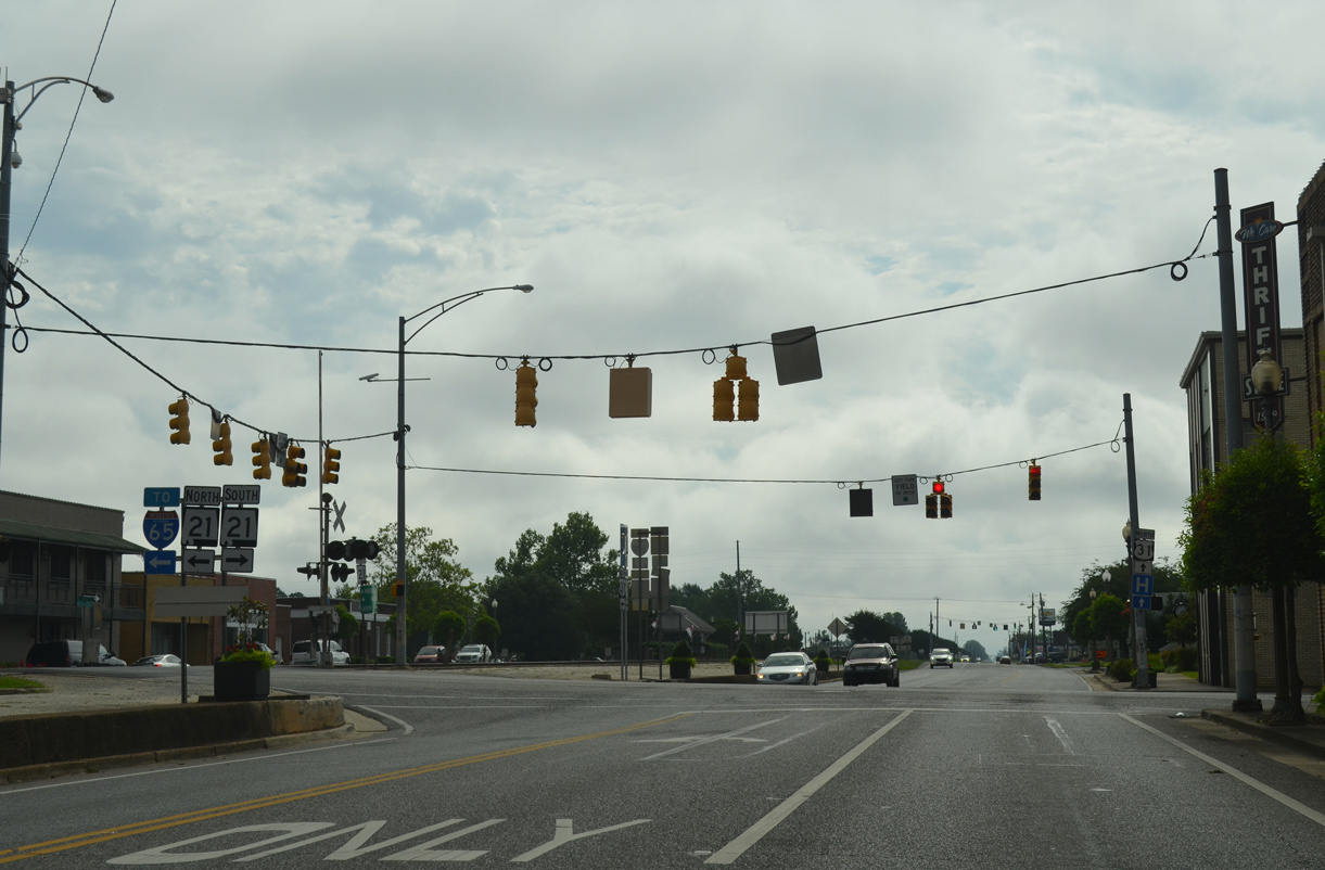
| Along with Florida State 97, SR 21 provides an alternate route between Interstate 65 and Pensacola, in lieu of SR 113 and U.S. 29 through Flomaton to the east. 05/12/16 |
|
| SR 21 (Main Street) heads 1.89 miles south to SR 97 at the Florida line. North beyond the Atmore city line, SR 21 expands into a four lane highway to Interstate 65 in 6.22 miles. 05/12/16 |
|
| Presley Street intersects U.S. 31 (Nashville Avenue) in Atmore two blocks south from Carver Avenue (CR 27) and three blocks north of Horner Street (CR 8). 09/27/08 |
|
| A road diet converted Nashville Avenue into a three lane boulevard east from SR 21 by 2011. Medical Park Drive leads south from U.S. 31 to Atmore Community Hospital and State Line Road. Martin Luther King, Jr. Avenue extends north to CR 27 (Carver Avenue). 09/27/08 |
|
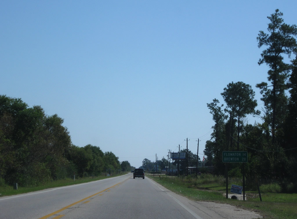
| Continuing beyond the Atmore city line, U.S. 31 reaches Flomaton in 14 miles and the county seat of Brewton in 28 miles. 09/27/08 |
|
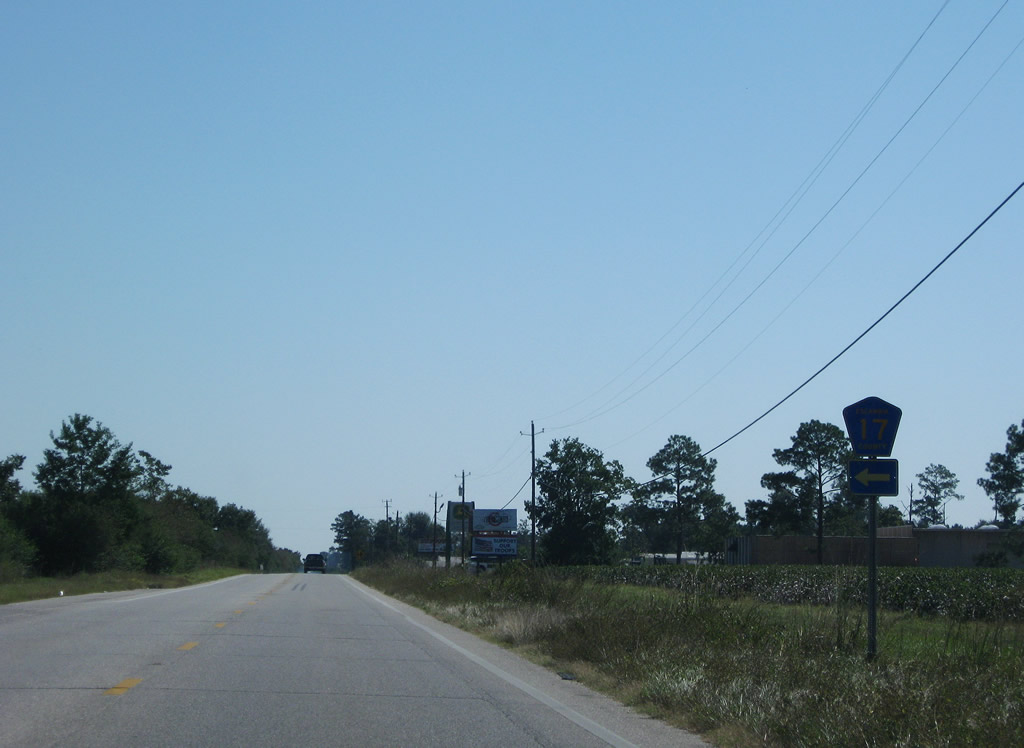
| CR 17 follows 18th Avenue one mile north from U.S. 31 to CR 27 (Carver Avenue). 09/27/08 |
|
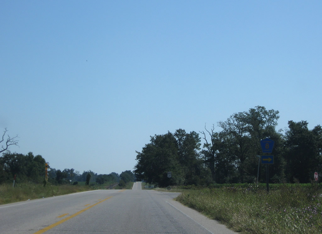
| The eastern leg of CR 8 along Florida Highway stems south from U.S. 31 to the Florida state line. CR 8 becomes CR 99 in the Sunshine State south to Bratt. 09/27/08 |
|
| Advancing east from CR 8 (Florida Highway) alongside the CSX Railroad, U.S. 31 next crosses Canoe Creek. 09/27/08 |
|
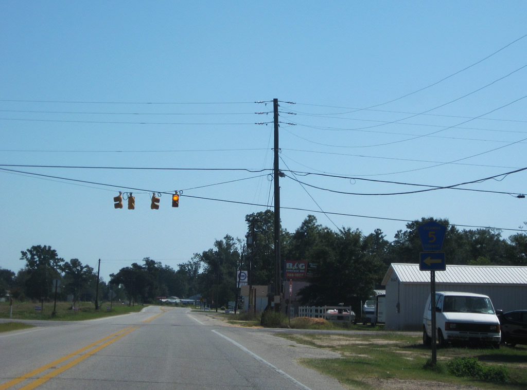
| CR 5 follows Canoe Road north from U.S. 31 to CR 27 (Robinsonville Road) near Robinsonville. Southward from Canoe, CR 5 is unsigned to the Florida state line at Pine Barren Road. 09/27/08 |
|
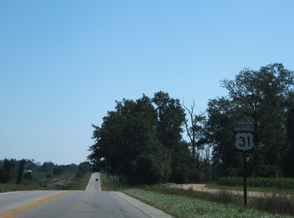
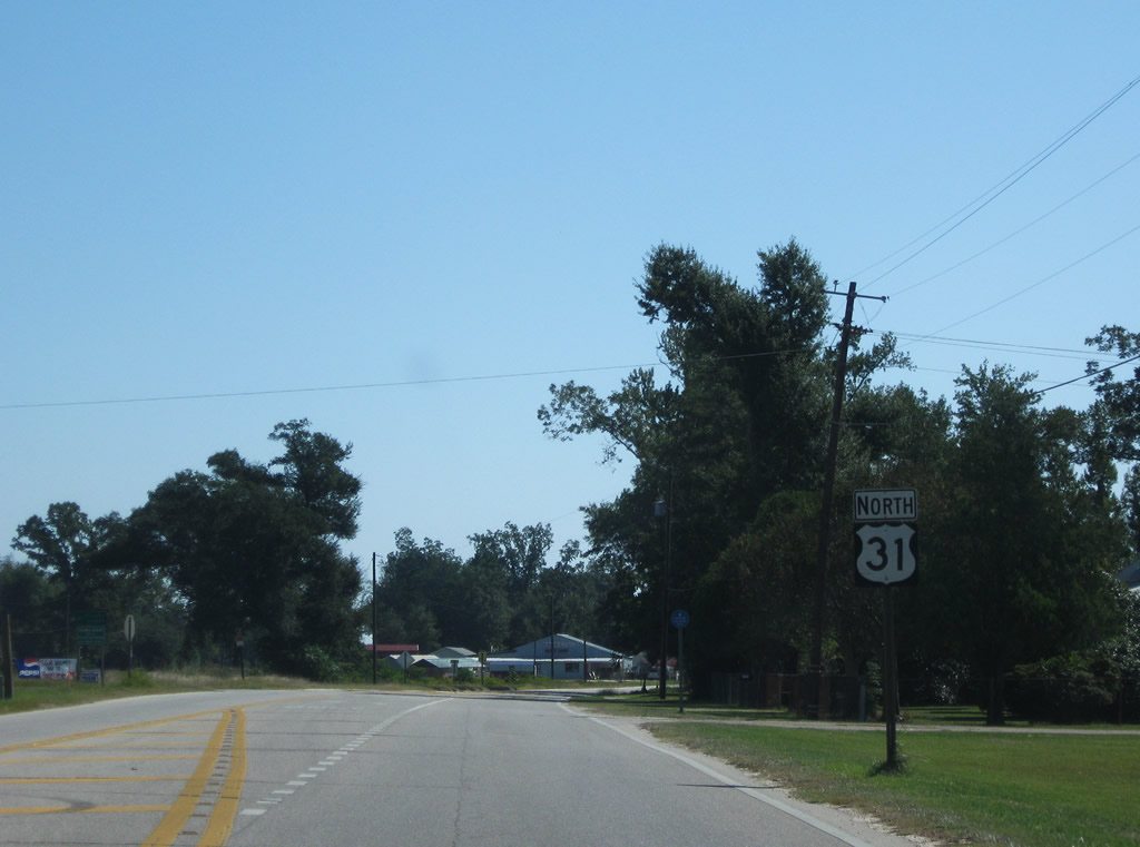
| U.S. 31 shifts northward across the parallel CSX Railroad through an S-curve east of Canoe. 09/27/08 |
|
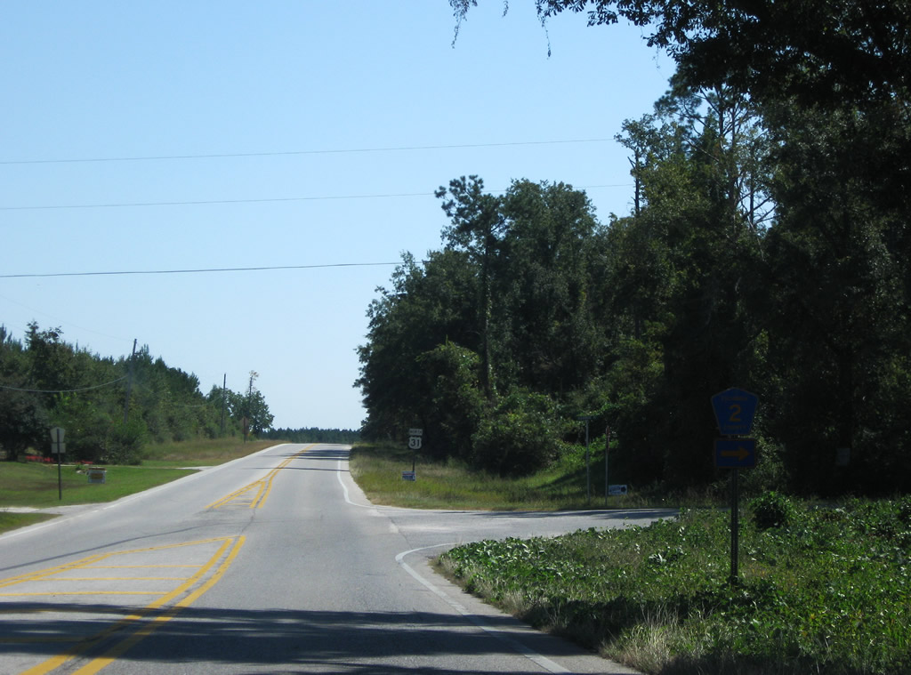
| CR 2 (Old Atmore Road) branches southeast from U.S. 31 beyond Wawbeek to College Street in the town of Flomaton. 09/27/08 |
|
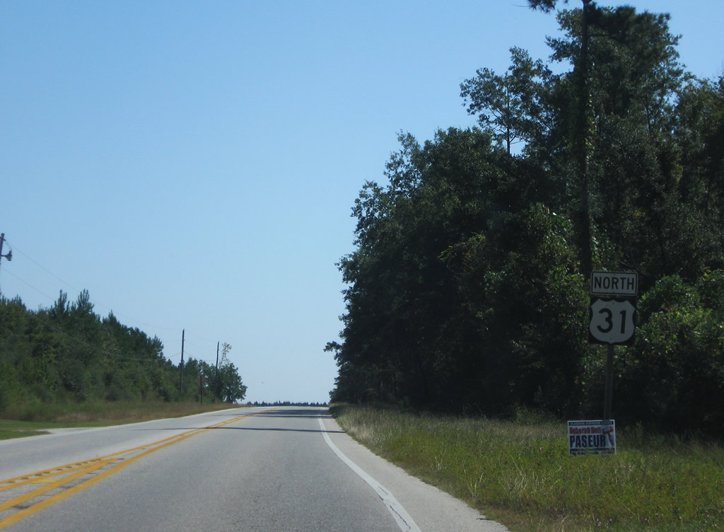
| Straying north from the adjacent CSX Railroad line, U.S. 31 meanders east from CR 2 to Flomaton. 09/27/08 |
|
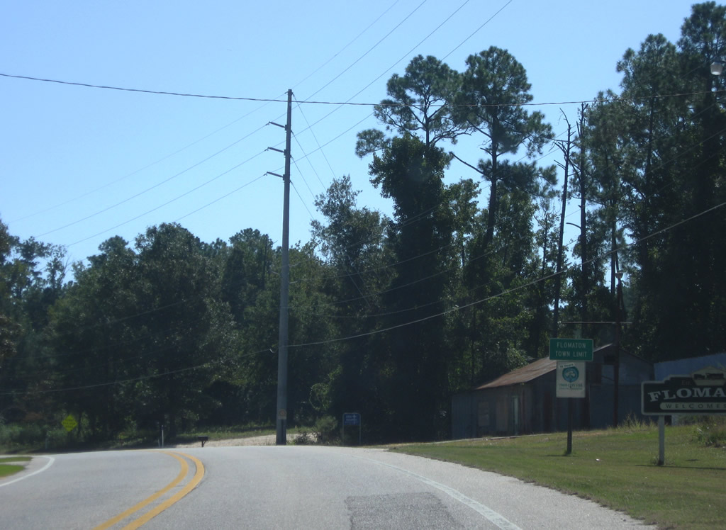
| Entering the town limits of Flomaton along U.S. 31 east. 09/27/08 |
|
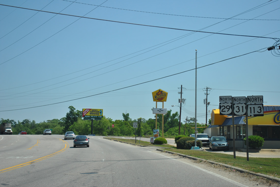
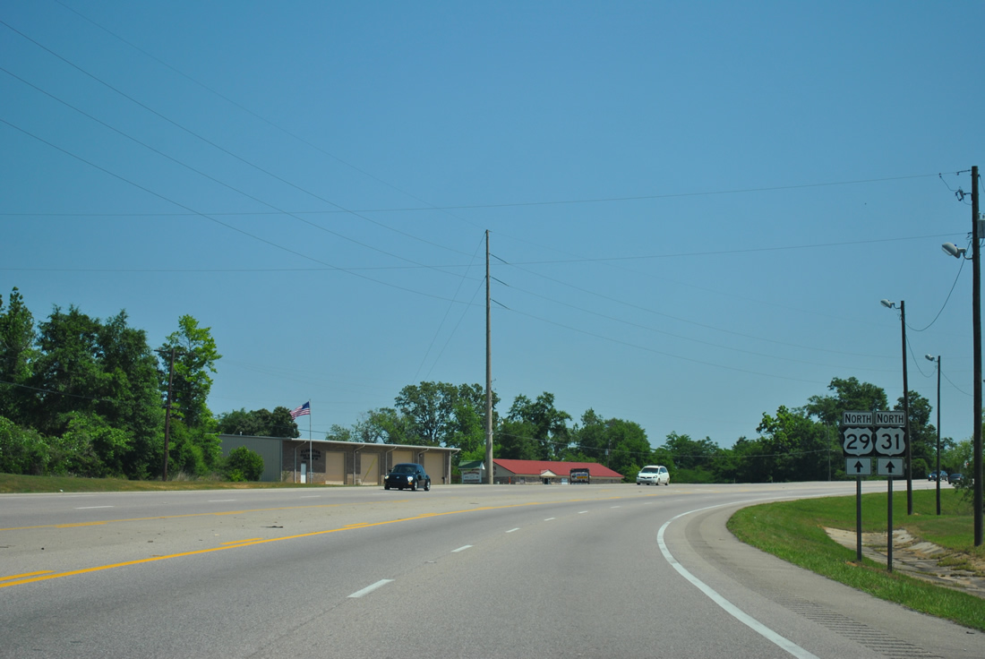
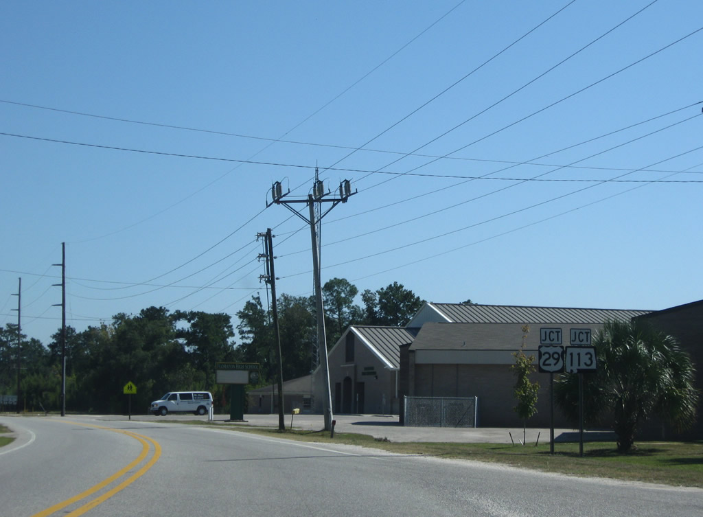
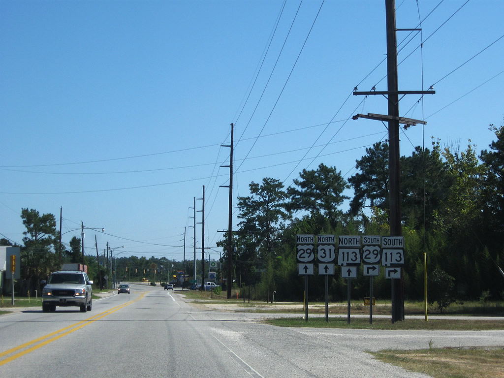
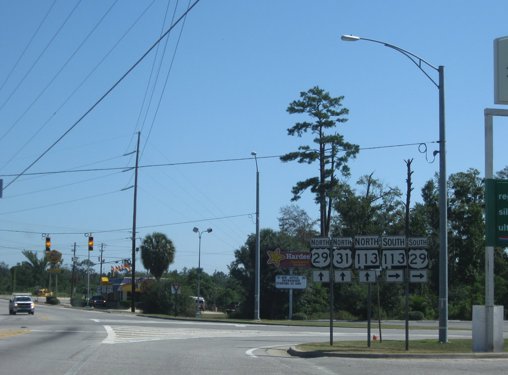
| U.S. 29/SR 113 (Sidney E. Manning Boulevard) converge with U.S. 31, 0.81 miles north from Century, Florida. 09/27/08 |
|
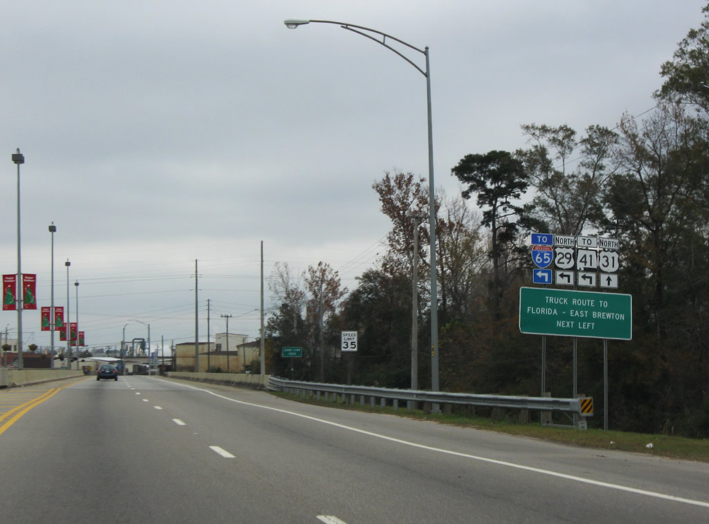
| U.S. 29/31 combine for 12.77 miles east from Flomaton to SR 41 in Flomaton. 09/27/08 |
|
| U.S. 29 travels south into Florida at Century en route to Cantonment, Gonzalez and U.S. 90/98 in Pensacola. SR 113 accompanies U.S. 29 north from the state line 1.95 miles through Flomaton. 09/27/08 |
|
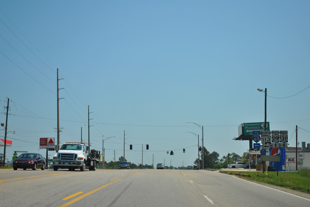
| U.S. 29/31-SR 113 confirming markers posted at Palafox Street. The three way overlap in Flomaton was expanded from two to five lanes in 2002. 04/13/12 |
|
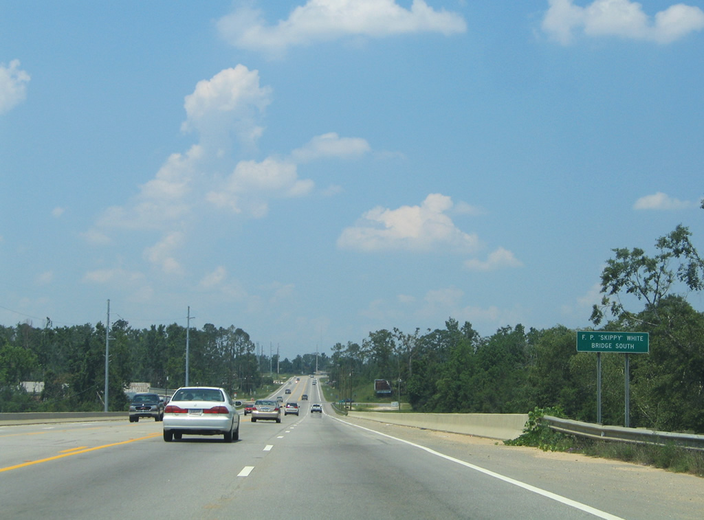
| U.S. 29/31-SR 113 cross Big Escambia Creek over the F.P. "Skippy" White Bridge South. 06/21/05 |
|
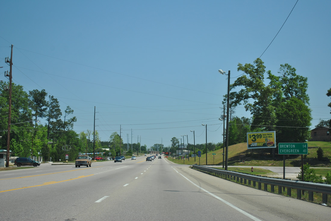
| Northbound distance sign posted 14 miles southwest of the U.S. 29/31 split at Brewton. Evergreen is 41 miles away via U.S. 31. 04/13/12 |
|
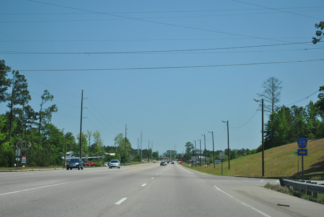
| Escambia County Route 25 stems north from Railroad Street / Van Hoosen Road in Flomaton to CR 17/27 at Stanley Crossroads. 04/13/12 |
|
| U.S. 29/31-SR 113 arc northeast ahead of their separation in north Flomaton. U.S. 29/ 31 continue east toward Pollard and McCall. 04/13/12 |
|
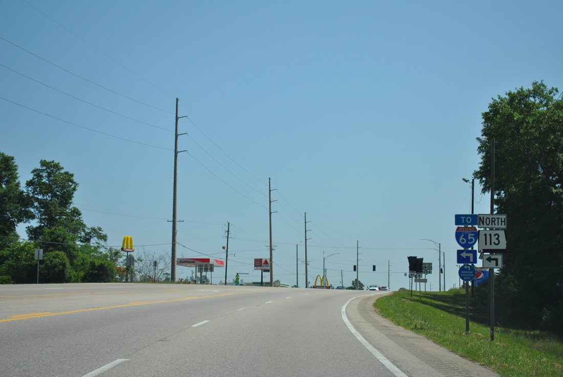
| SR 113 constitutes one of two four lane highways north to Interstate 65 in Escambia County. Construction widening SR 113 north from Flomaton to I-65 at Exit 69 took place between September 11, 2007 and November 12, 2008. 04/13/12 |
|
| SR 113 travels 13.51 miles from U.S. 29/31 at Flomaton to I-65 and CR 17 near Barnett Crossroads. The four lane highway is the northern leg of the main hurricane evacuation route for Pensacola, Florida. 04/13/12 |
|
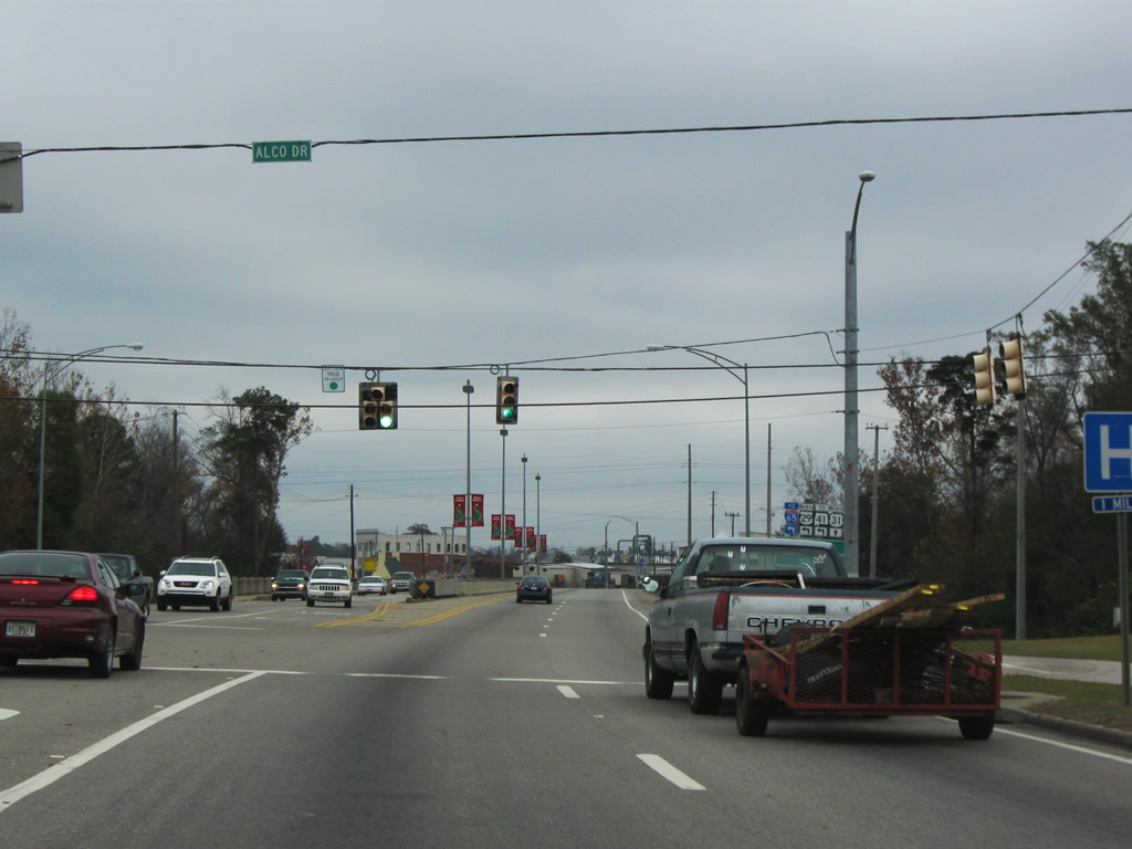
| Alco Drive, the original alignment of U.S. 29/31 through southwest Brewton, ties into U.S. 29/31 (South Boulevard) ahead of Burnt Corn Creek. 12/05/09 |
|
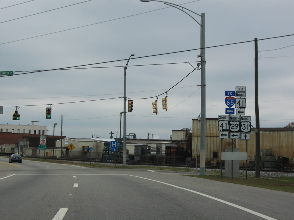
| The CSX Railroad runs along the south side of U.S. 29/31 (South Boulevard) from Burnt Corn Creek to SR 41 (St. Nicholas Avenue). Due to the tight turning radius at Mildred Street, a truck route for U.S. 29 north utilizes parallel Persimmon Street to SR 41 south. 12/05/09 |
|
| Persimmon Street parallels from U.S. 29/31 (South Boulevard) at Ann Avenue to SR 41 (St. Nicholas Avenue), one block north of St. Joseph Avenue. The access road also connects with SR 41 north. 12/05/09 |
|
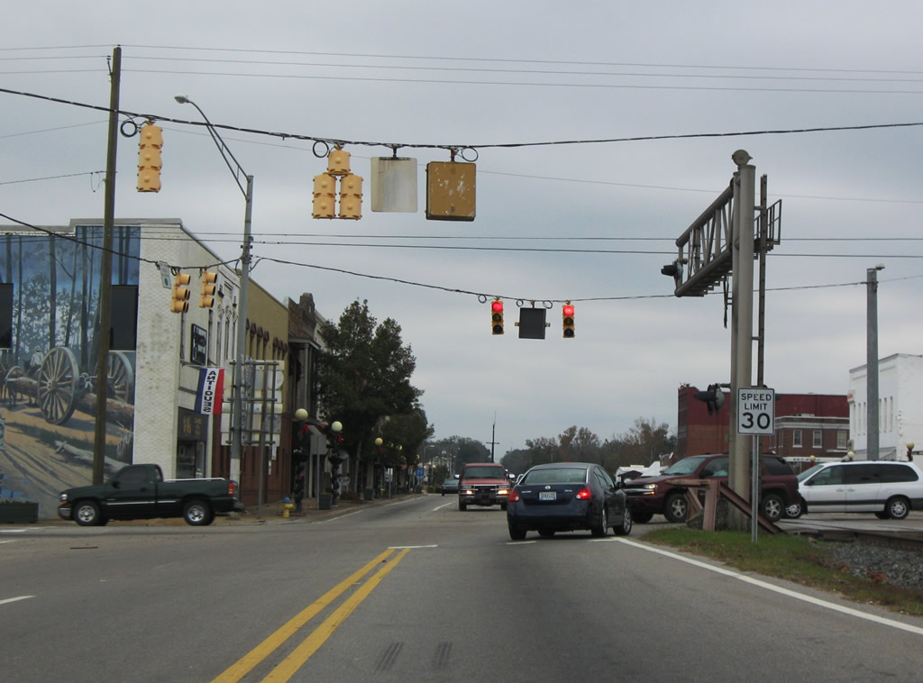
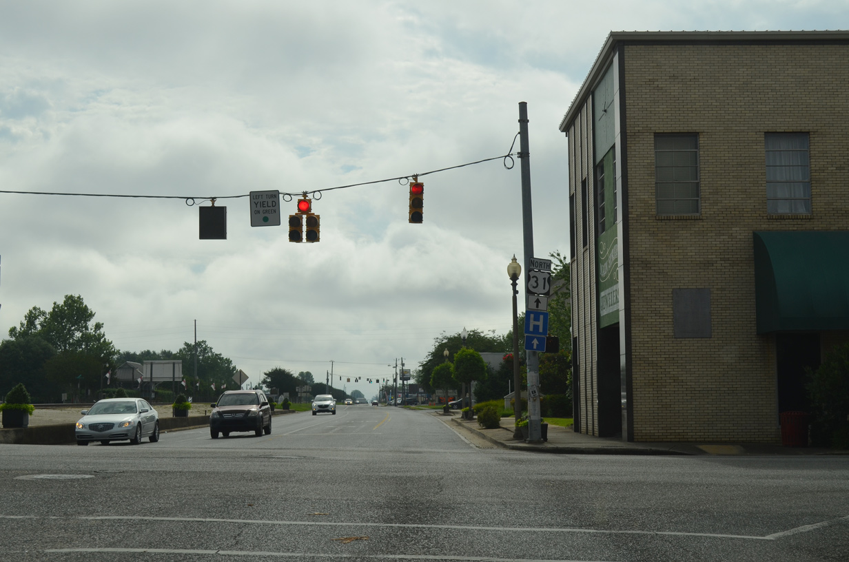
| U.S. 29 turns southward with SR 41 onto Mildred Street from U.S. 31 (St. Joseph Avenue) in Downtown Brewton. U.S. 31 continues en route to the Conecuh County seat of Evergreen and U.S. 84 while SR 41 and U.S. 29 lead southeast 1.25 miles into East Brewton. 12/05/09 |
|
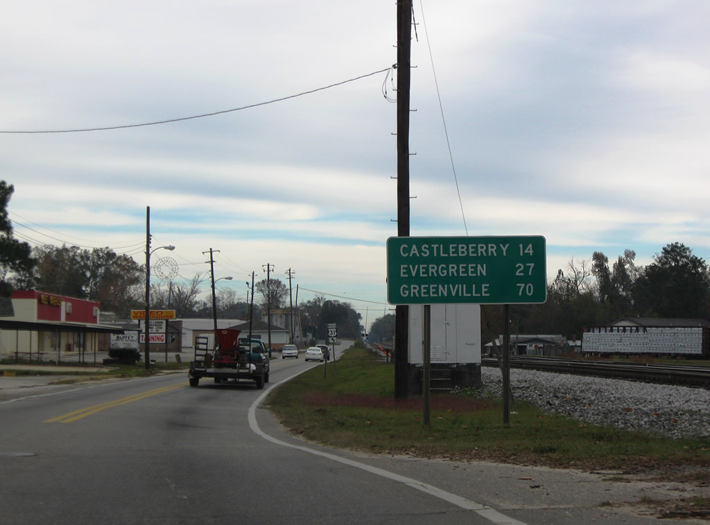
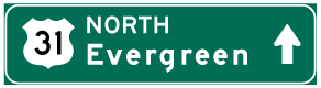
| Leaving SR 41 (St. Nicholas Avenue / Mildred Street) and U.S. 29, U.S. 31 continues alongside a CSX Railroad to Douglas Avenue. Heading north from Brewton, U.S. 31 enters the town of Castleberry in 14 miles and Evergreen with U.S. 84 in 26 miles. 11/28/09 |
|
| U.S. 31 shifts northward onto Douglas Avenue three blocks beyond U.S. 29/SR 41 in Downtown Brewton. 11/28/09 |
|
| Douglas Avenue intersects Blacksher Street after St. Joseph Avenue. 11/28/09 |
|
| CR 9 (Old Castleberry Road) loops west from U.S. 31 (Douglas Avenue) in north Brewton. 11/28/09 |
|
| Construction of the Wal-mart retail complex along the east side of Douglas Avenue in 2009 included a short realignment of CR 9. 02/12/10 |
|
| CR 9 (Old Castleberry Road) returns to U.S. 31 east along the north Brewton city line. 02/12/10 |
|
| Old Castleberry Road loops 2.7 miles east from U.S. 31. The north end of CR 9 ties into U.S. 31 west of Kirkland. 11/28/09 |
|
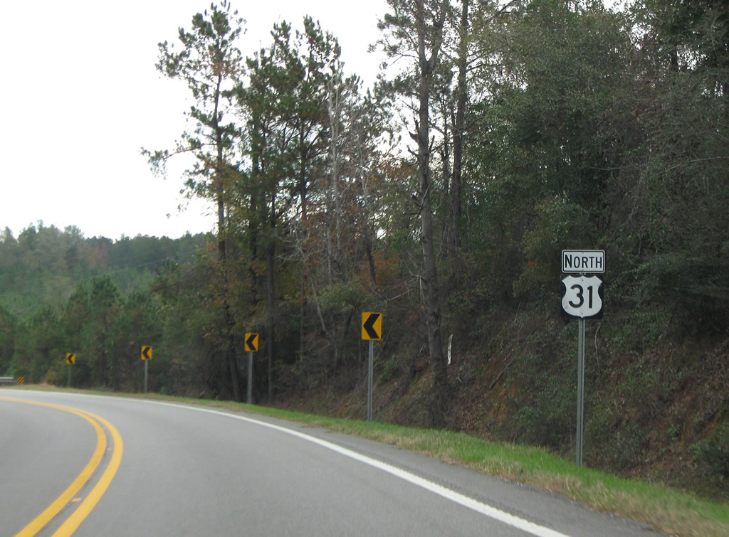
| U.S. 31 follows a lightly traveled route outside Brewton to Camp McMillan and Castleberry. 11/28/09 |
|
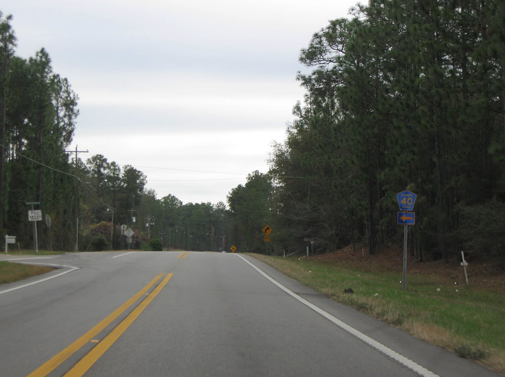
| CR 40 (Mason Mill Pond Road) runs west from U.S. 31 near Camp McMillan to Appleton, Wallace and Barnett Crossroads. 11/28/09 |
|
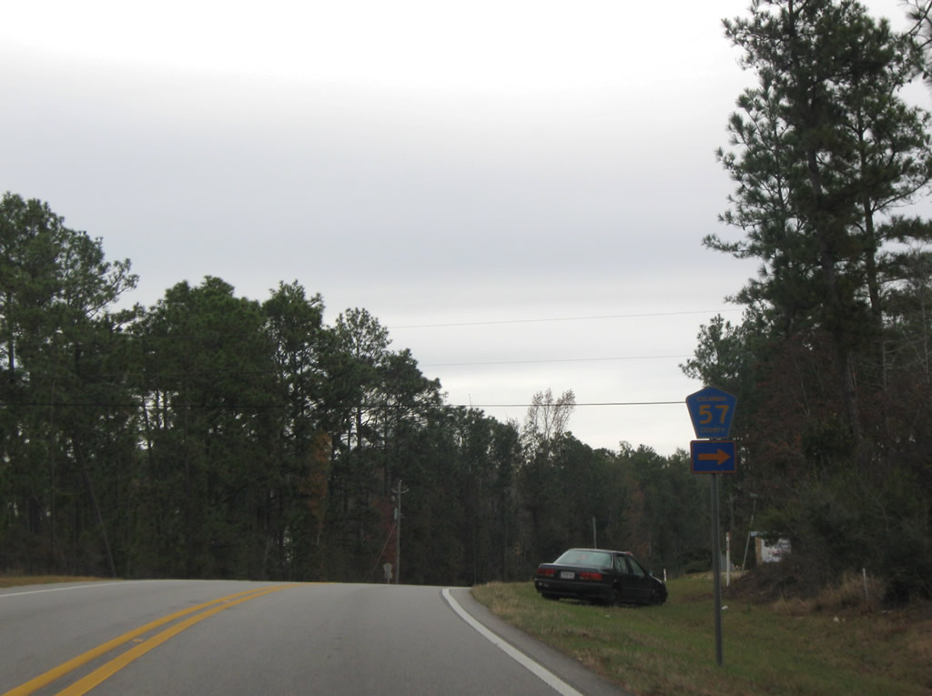
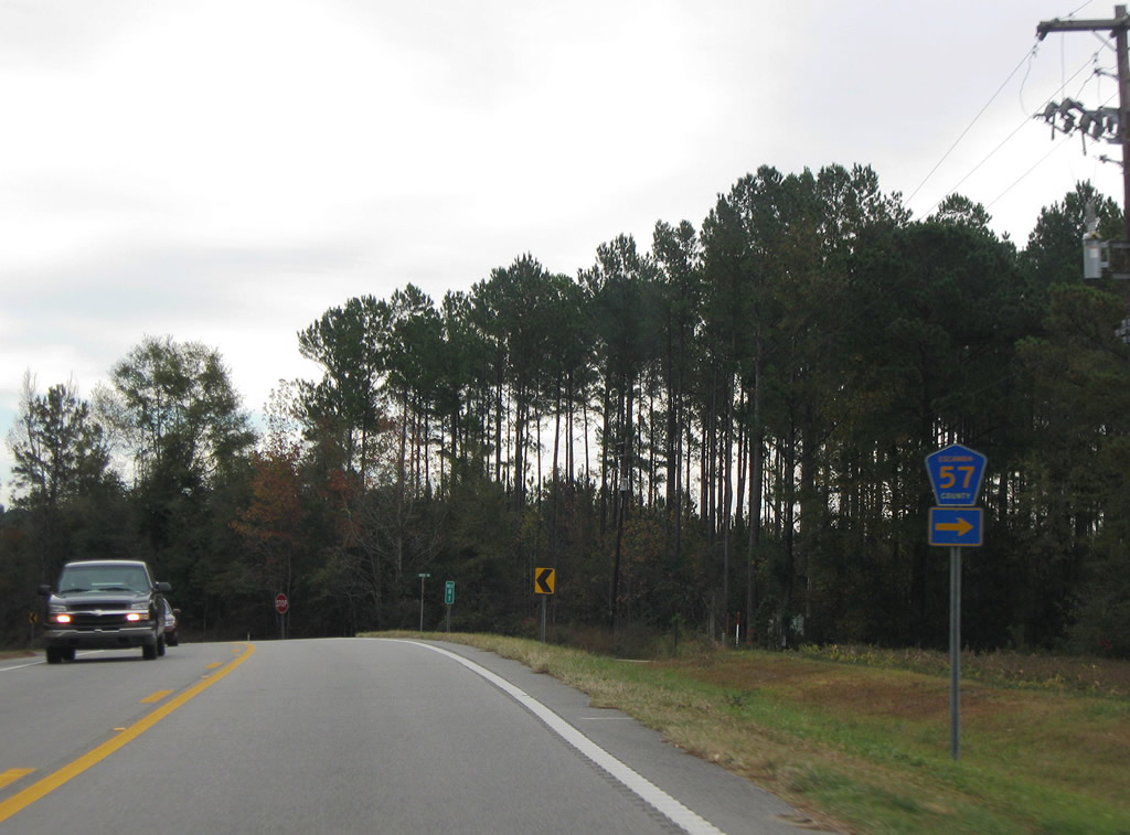
| County Route 57 follows Smith Road east from U.S. 31 and the north back to U.S. 31 along a 3.1 mile long course. 11/28/09 |
|
| CR 57 (Smith Road) returns to U.S. 31 north at mile marker 81 for SR 3. 11/28/09 |
|
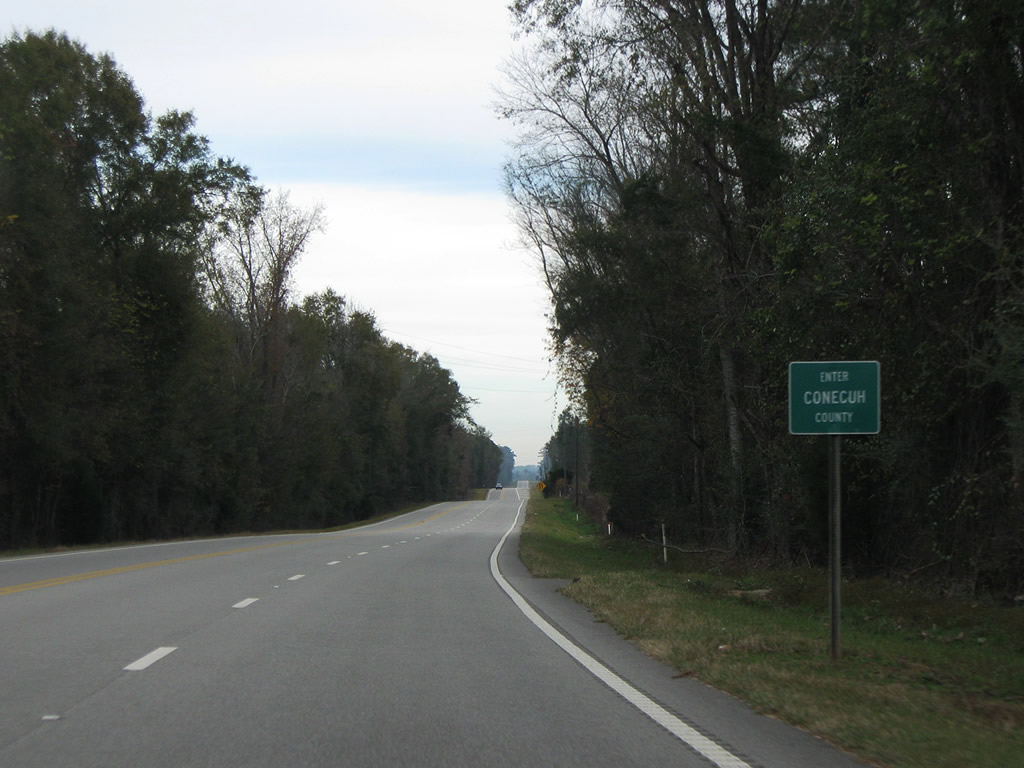
| Turning northeast from CR 57, U.S. 31 lowers 50 feet in elevation before rising again to 220 feet above sea level at the Conecuh County line. 11/28/09 |
|
| U.S. 31 travels 47.49 miles through Escambia County to Conecuh County. 11/28/09 |
Page Updated 08-15-2022.

 North
North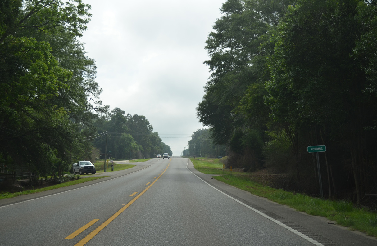


 North
North