Widening of U.S. 41 to a four lane, divided highway north from Connerton Boulevard 2.25 miles to a point south of SR 52 commenced on March 12, 2021. Costing $16.8 million, the project runs through Summer late 2023. A separate project expanding SR 52 to six lanes includes widening one mile of U.S. 41 within the vicinity of their intersection at Gowers Corner. That $49.6 million project started in September 2019 and will be completed in late 2023.
|
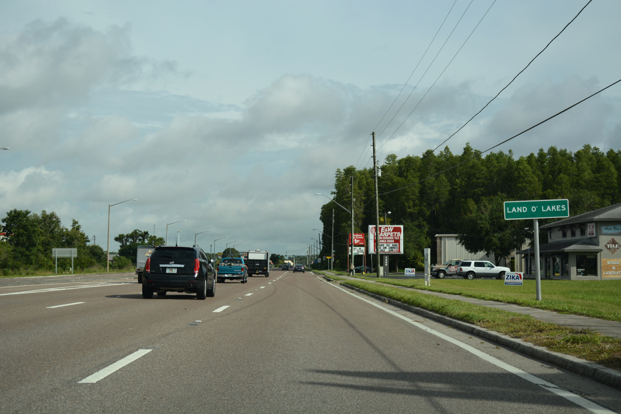
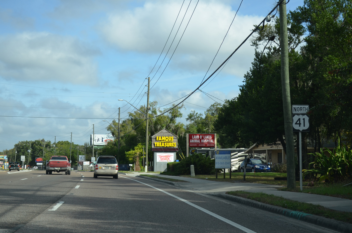
| Upon crossing the county line, U.S. 41 enters Land O' Lakes. The bedroom community spreads both west and east along SR 54 between Odessa and Wesley Chapel. Consisting mostly of suburban development, the census designated place was founded in 1950. 08/13/18 |
|
| Remaining alongside the CSX Railroad, U.S. 41 advances north from Lutz with six overall lanes and a grassy median. 09/26/22 |
|
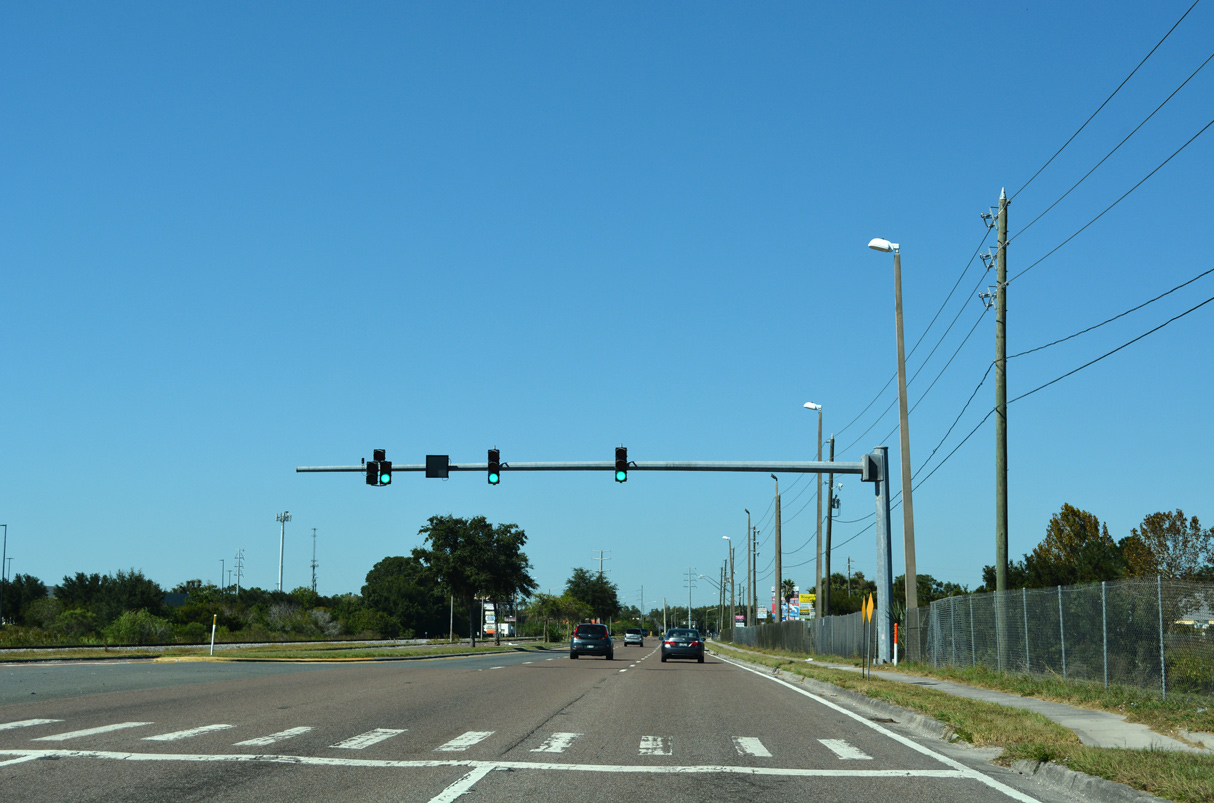
| The succeeding traffic signal is with Walmart Way west to adjacent retail and SR 597 (Dale Mabry Highway). 10/17/21 |
|
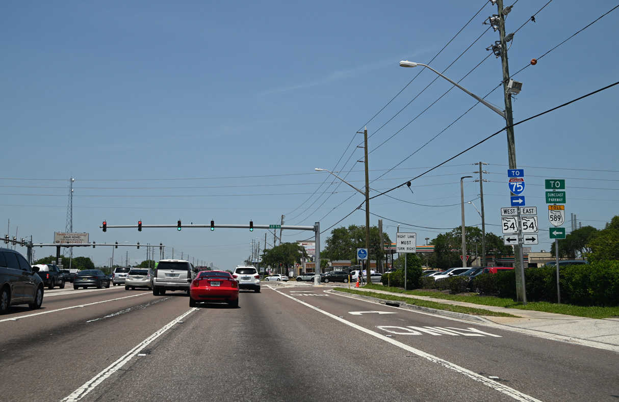
| Dale Mabry Highway (SR 597) north converges with U.S. 41 at a wye intersection just ahead of SR 54. Traffic along U.S. 41 northbound passes through the apex without stopping. 09/26/22 |
|
| The intersection joining U.S. 41 with SR 54 lies at the center of unincorporated Land O' Lakes. An FDOT study evaluated elevating SR 54 above U.S. 41 and the adjacent at-grade crossing with the CSX Railroad. The 2015 study also considered changes along U.S. 41, from just south of SR 597 to Morgan Road north of SR 54. 09/26/22 |
|
| Stretching west to U.S. 19 at Holiday and east to SR 56/CR 54 near I-75 at Exit 275, SR 54 constitutes the main arterial route across southern Pasco County. The western leg of SR 54 connects Seven Springs, Starkey Ranch, Odessa and Wesley Chapel. 05/04/23 |
|
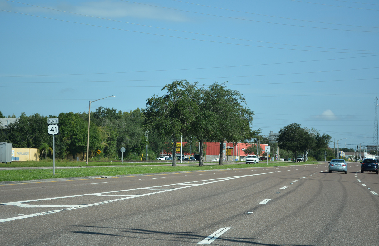
| An erroneous Florida State Road 41 shield was posted in place of U.S. 41 north of SR 54 by April 2022. 09/26/22 |
|
| The corrected shield for U.S. 41 north of SR 52. 05/04/23 |
|
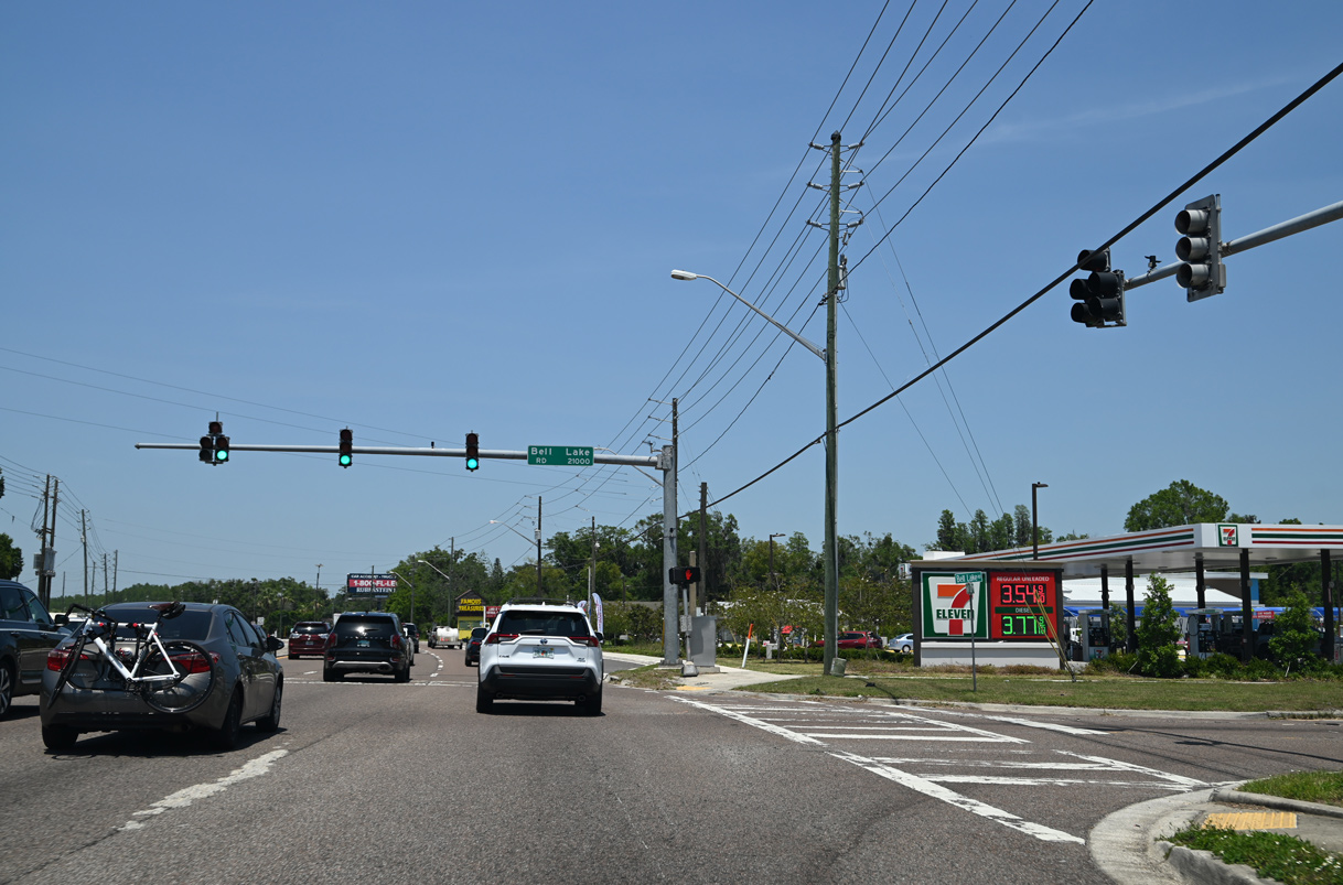
| The succeeding traffic light on U.S. 41 (Land O' Lakes Boulevard) north is at Bell Lake Road. Bell Lake Road angles southeast between Bell Lake and Lake Padgett to a number of subdivisions. The road originally ended at Banjo Lake Road, but was extended east to Collier Parkway in a county project completed in 2010. 05/04/23 |
|
| Reassurance marker for U.S. 41 north posted as Land O' Lakes Boulevard passed just west of Bell Lake. This assembly was removed by December 2021 with the addition of a right turn lane for a newly built car wash. 11/18/15 |
|
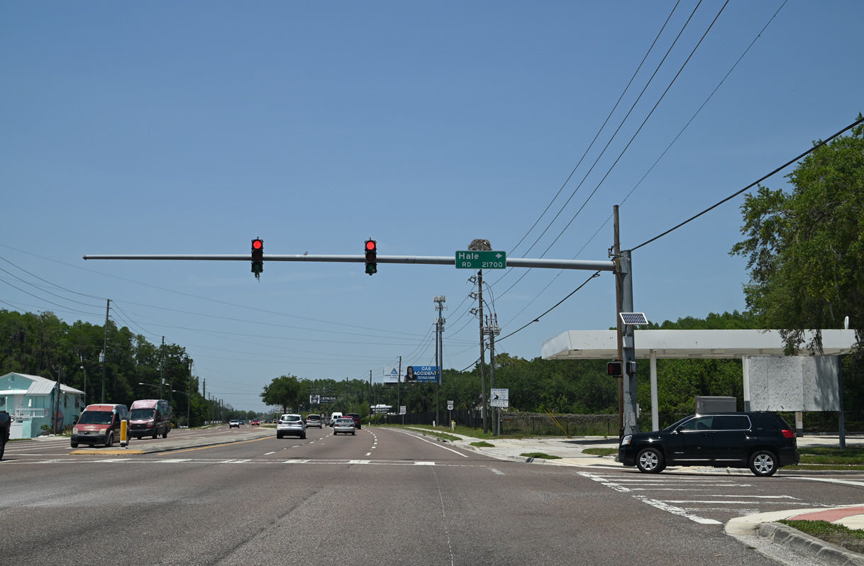
| Hale Road follows at the succeeding signal to link Land O' Lakes Boulevard with Collier Parkway between Bell and King Lakes. 05/04/23 |
|
| U.S. 41 maintains six lanes north from Hale Road to Drexel. 08/13/18 |
|
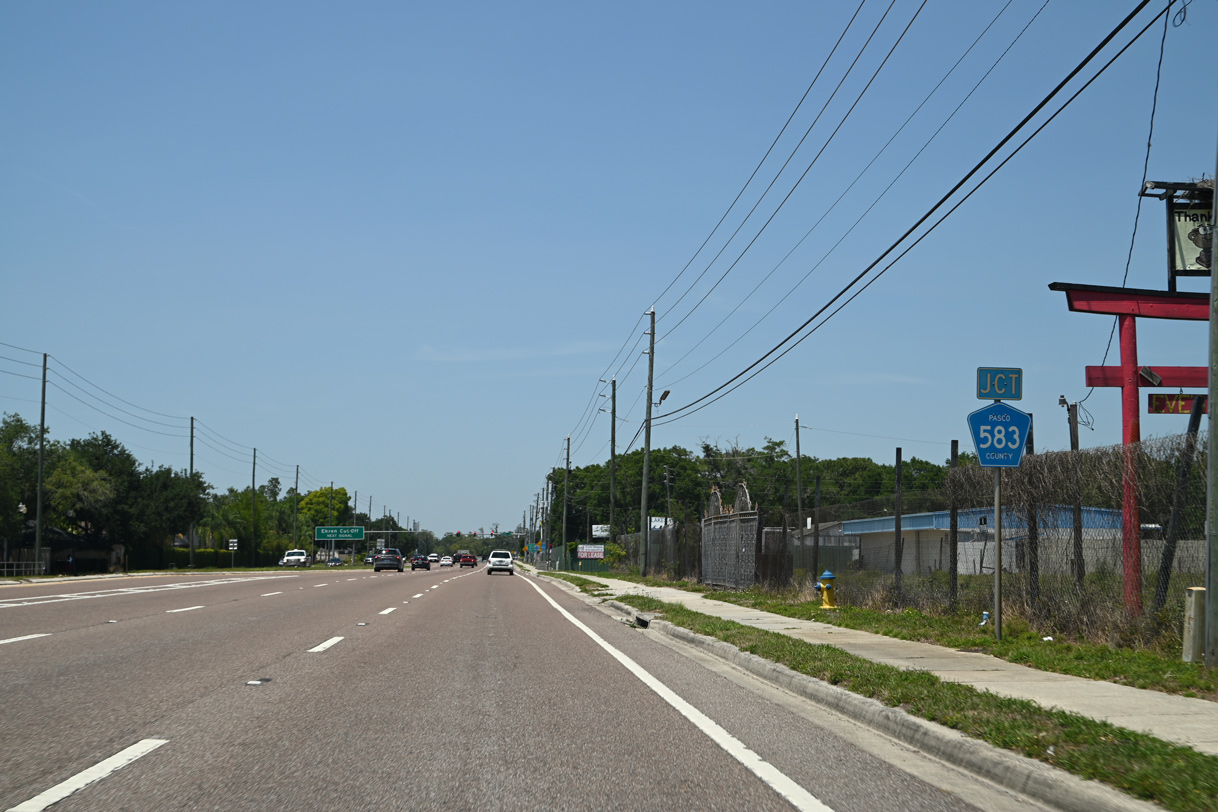
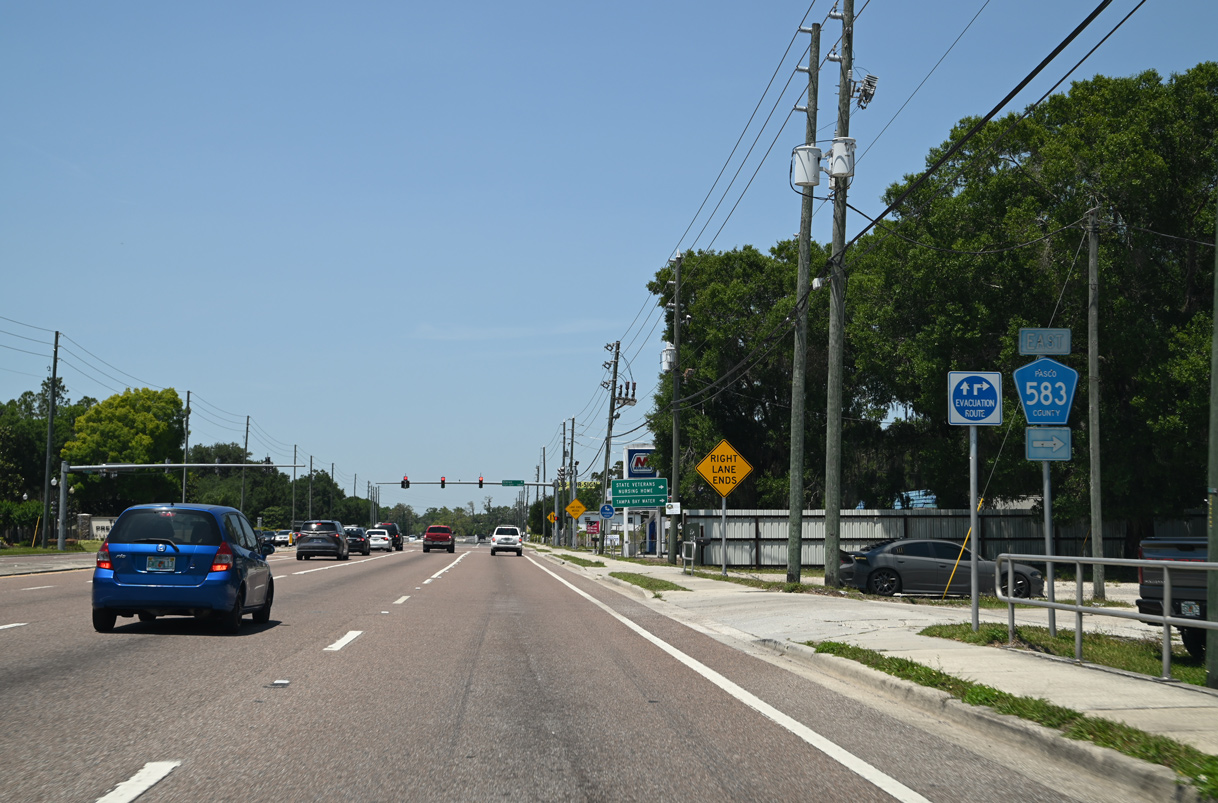
| Pasco County Road 583 (Ehren Cutoff) branches northeast from U.S. 41 at Drexel to Ehren and SR 52 at Fort King Ranch. 05/04/23 |
|
| Traveling 6.7 miles, County Road 583 provides an alternate route from Land O' Lakes to Interstate 75. 05/04/23 |
|
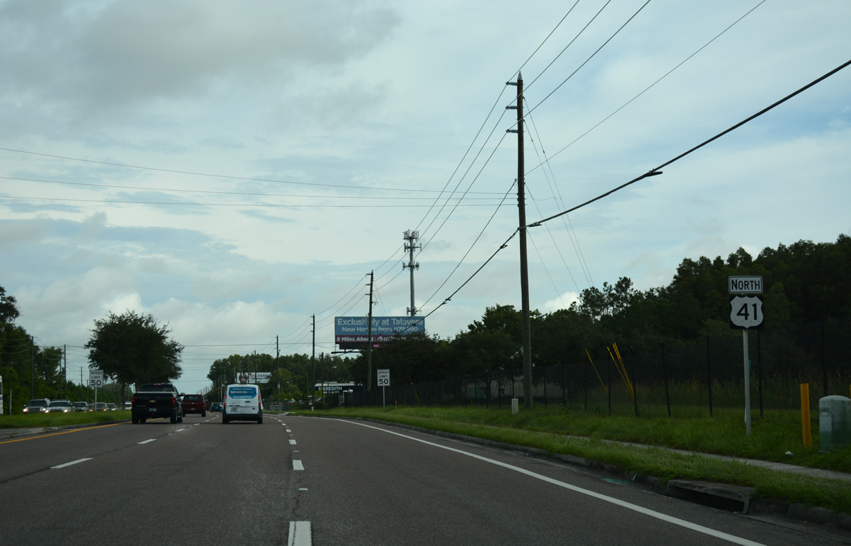
| U.S. 41 turns more westerly from CR 583 and reduces to four overall lanes. 02/29/16 |
|
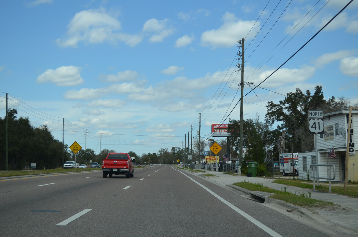
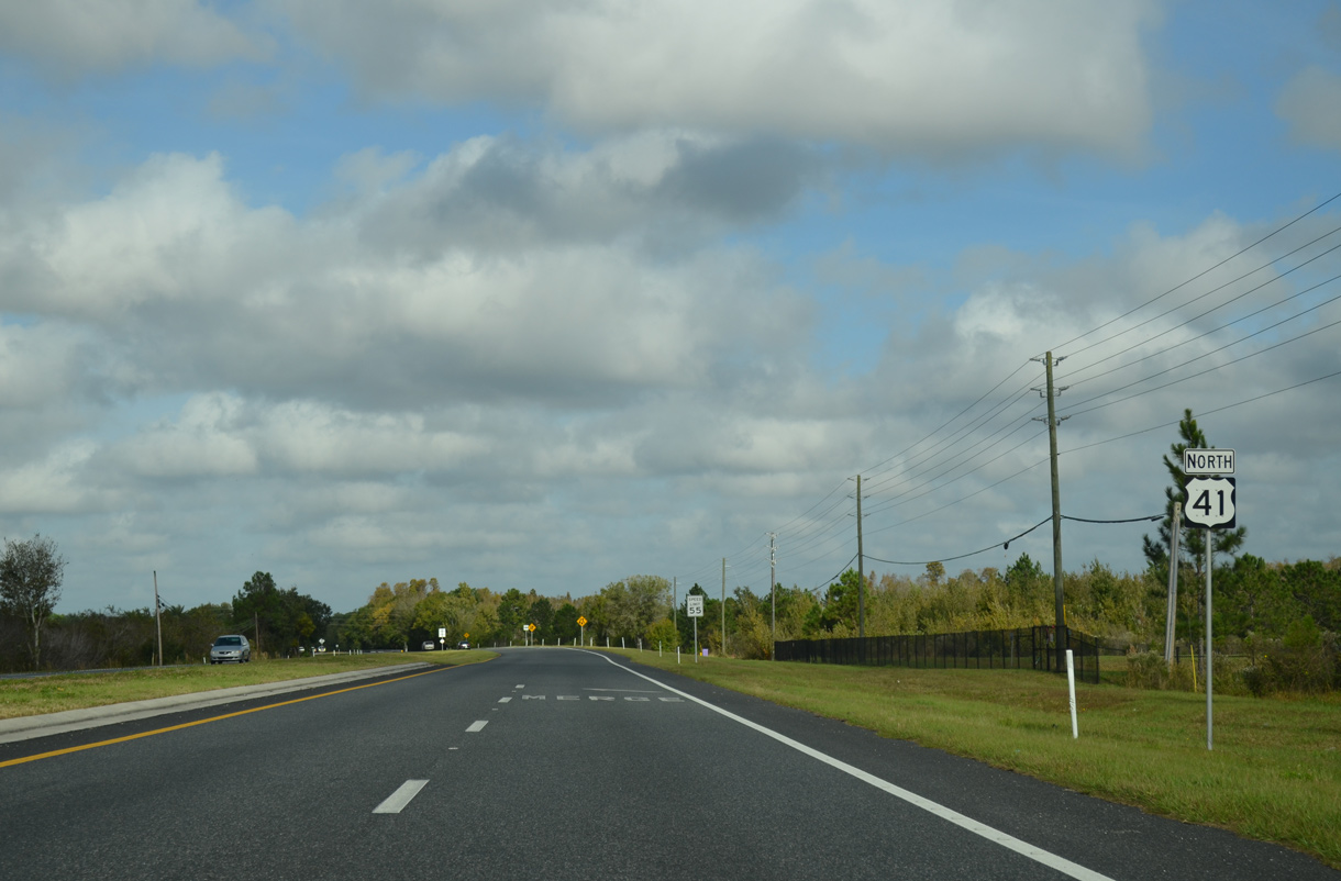
| U.S. 41 becomes less urban in design but with several developments located just off the highway. Beyond SR 52, the remainder of the 15 mile drive to Masaryktown in Hernando County is rural. 08/13/18 |
|
| A traffic signal operates at the intersection of Wilderness Lake Boulevard east to the Wilderness Lake Preserve community and Gator Lane west to Land O' Lakes High School. 08/13/18 |
|
| Pasco County consistently signs routes throughout the county, as a reassurance marker appears north of Wilderness Lake Boulevard. 11/18/15 |
|
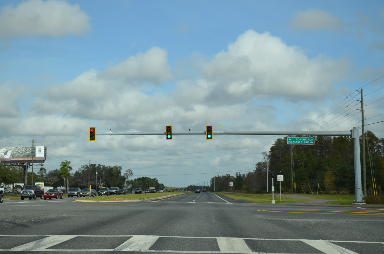
| Pleasant Plains Parkway provides one of two boulevard-style entrances east into Connerton. Connerton is is a census-designated place and large scale housing development started in the 2000s. 11/18/15 |
|
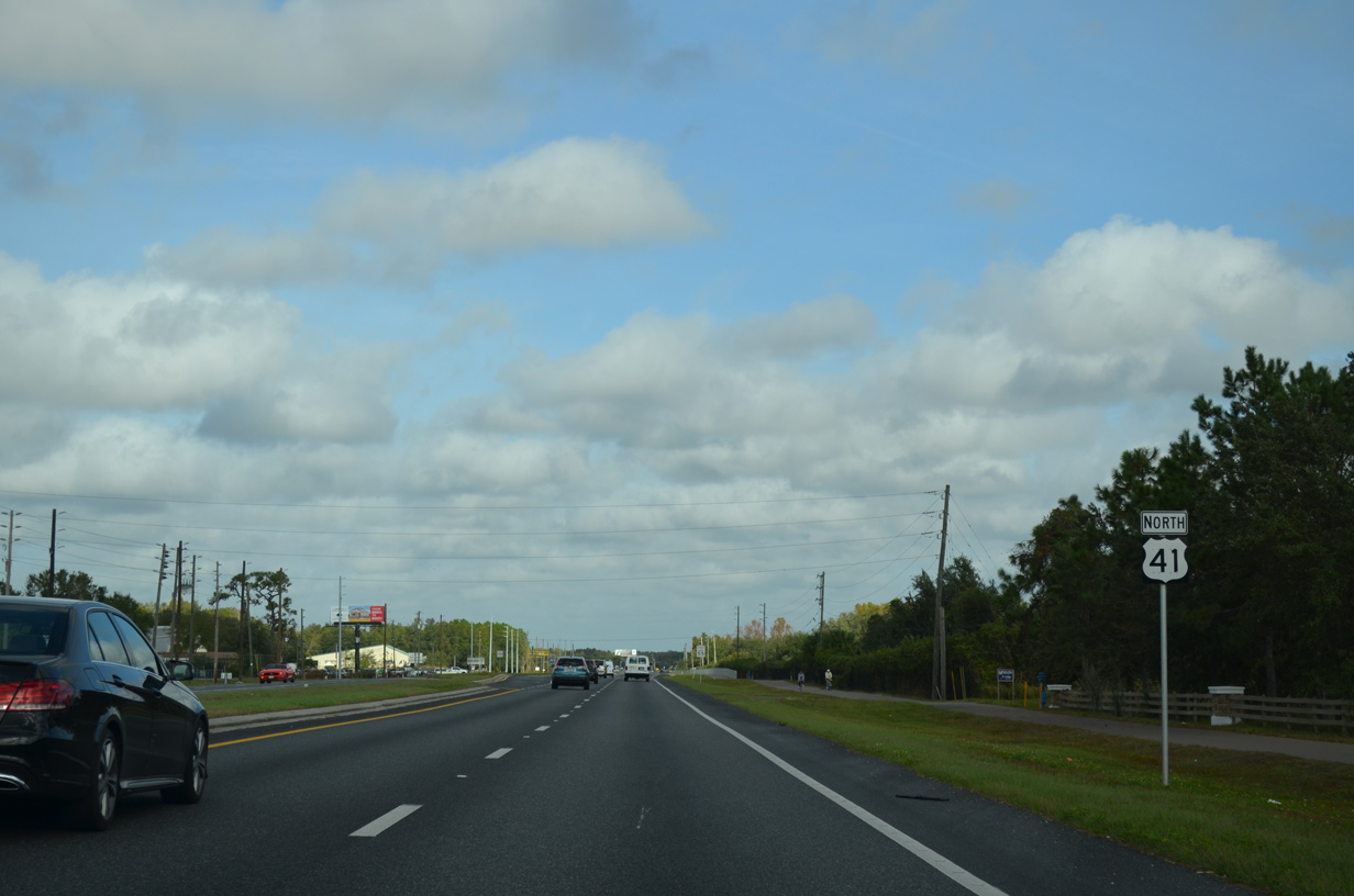
| U.S. 41 reduces to two lanes north of Connerton; widening of the ensuing 2.25 mile long stretch began on March 12, 2021. Several housing developments spread to the west. 11/18/15 |
|
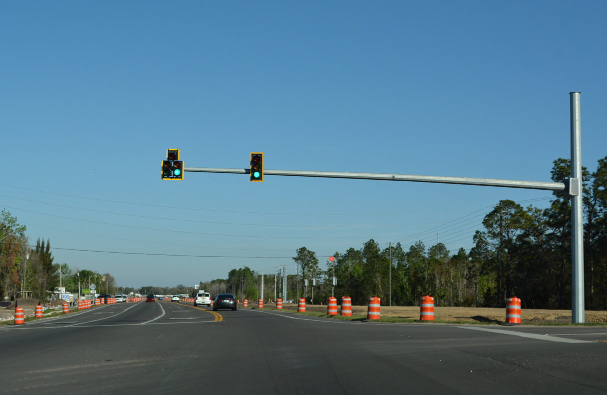
| Traffic lights were added along U.S. 41 at Asbel Road in 2021 as part of the four lane expansion north toward SR 52. 03/02/22 |
|
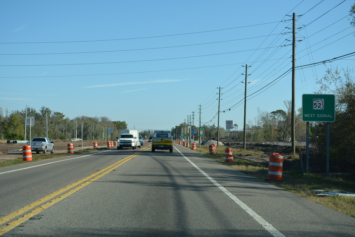
| U.S. 41 curves northeasterly around Green Lake to meet SR 52 at Gowers Corner. Widening of SR 52 through late 2023 includes expansion of U.S. 41 leading to their crossroads. 03/02/22 |
|
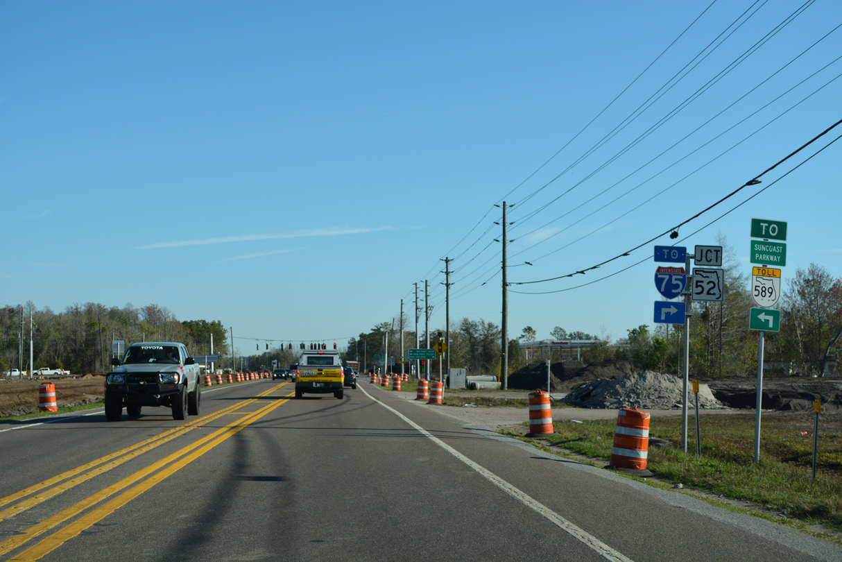
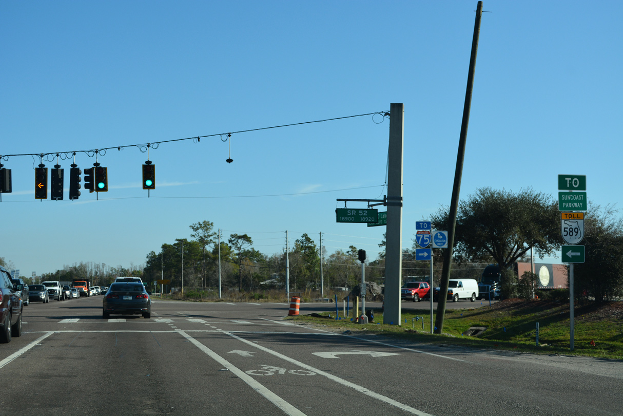
| SR 52 constitutes a mostly rural route west three miles to Suncoast Parkway (SR 589) and 11 miles east to Interstate 75 at Pasco. 03/02/22 |
|
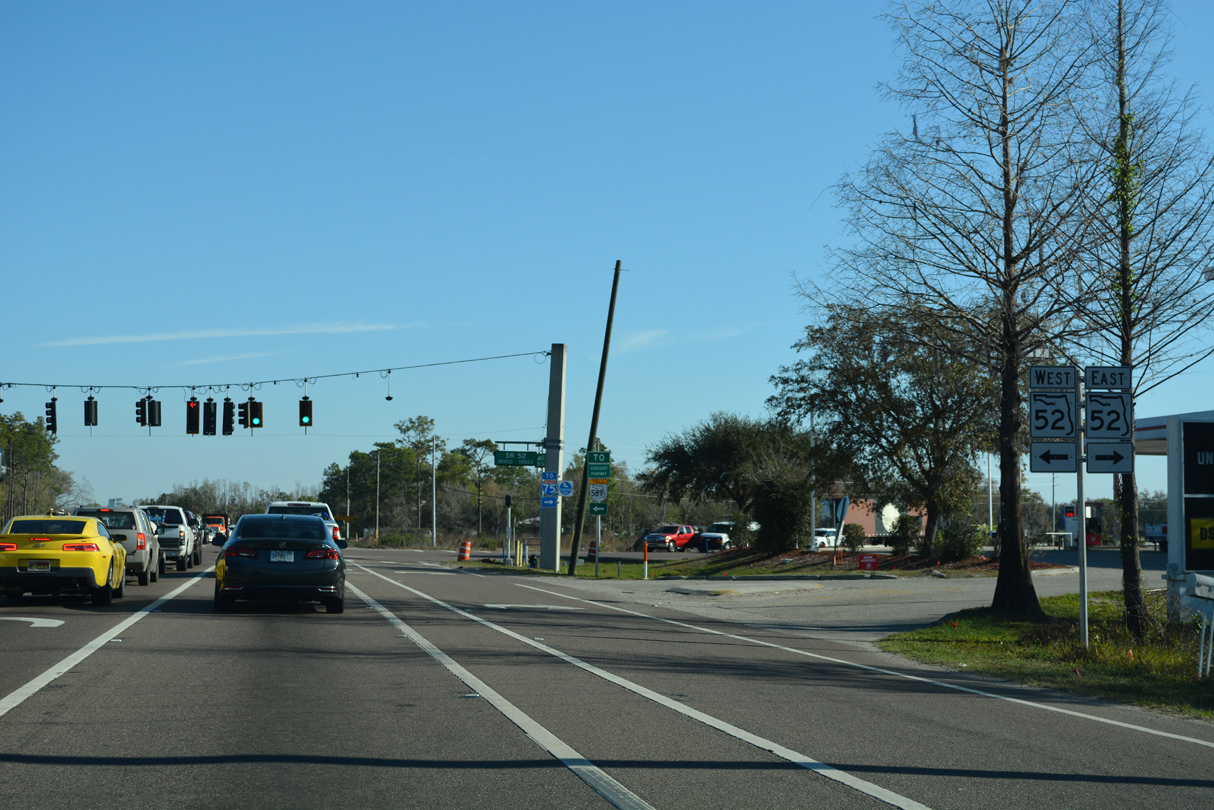
| An intracounty route, State Road 52 travels 33.4 miles overall between U.S. 19 at Bayonet Point and U.S 98/301 in Dade City. 03/02/22 |
|
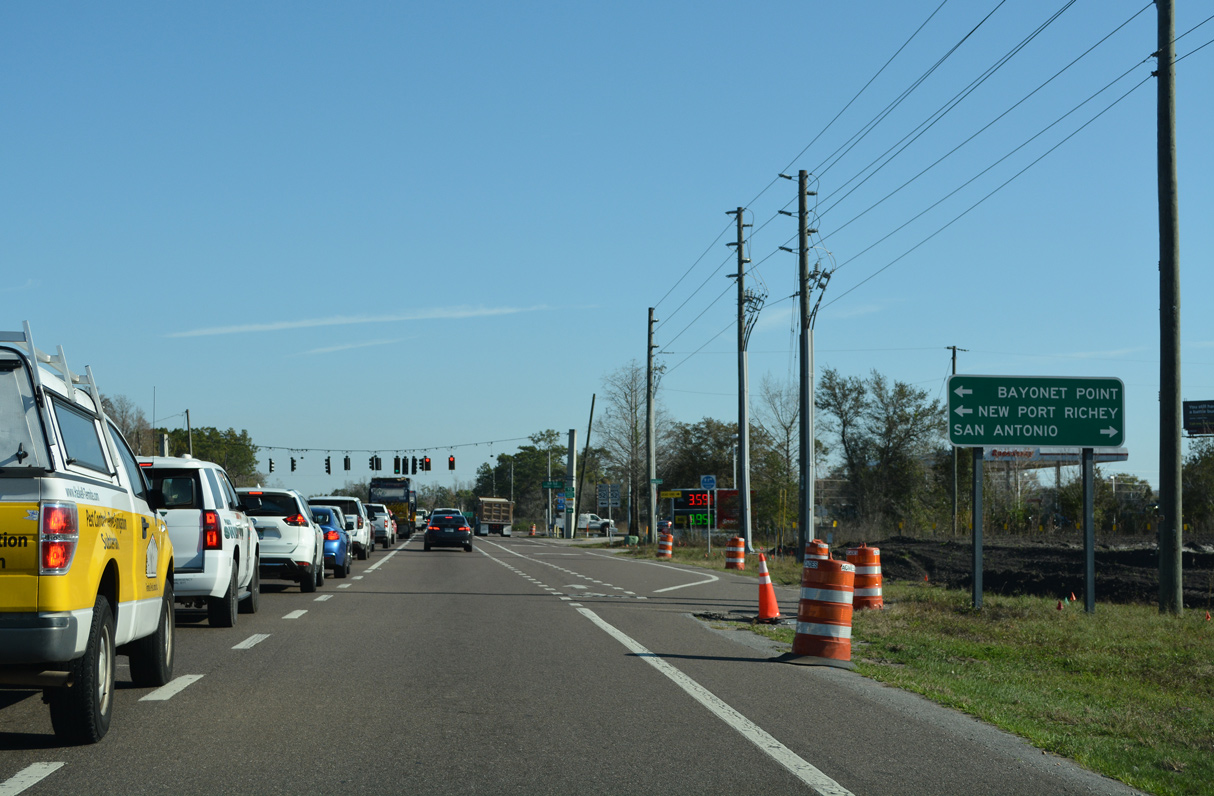
| Entering the intersection with SR 52 along U.S. 41 north. New Port Richey lies 18 miles to the southwest while San Antonio is 14 miles to the east. 03/02/22 |
|
| Construction through late 2023 expands a 3.8 mile long segment of SR 52 west from Gowers Corner to the Suncoast Parkway (SR 589). The $49.7 million project widens the roadway from two to six lanes. Future work to the east will add two lanes to SR 52 between U.S. 41 and CR 581. 04/20/16 |
|
| 2014-15 development along U.S. 41 between Gowers Corner and the Hernando County added the Talavera subdivision to the west side along an otherwise rural two lane stretch. 03/02/22 |
|
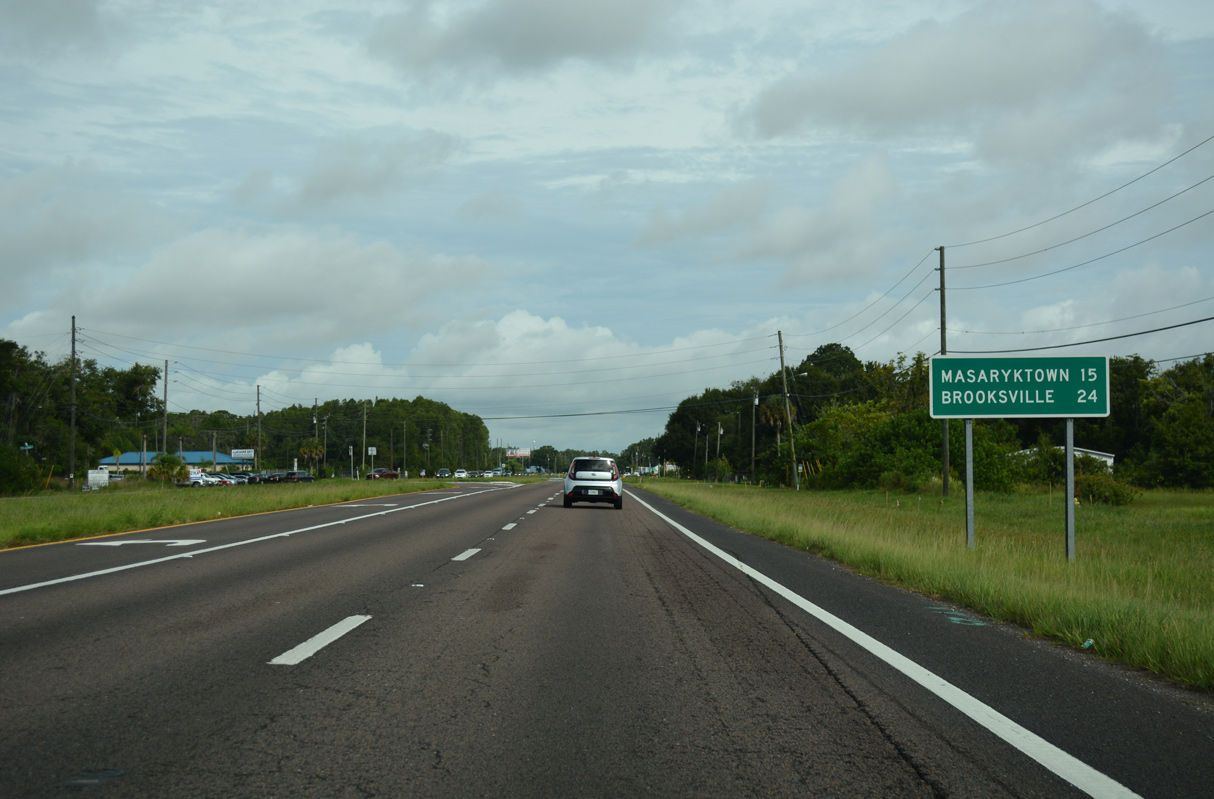
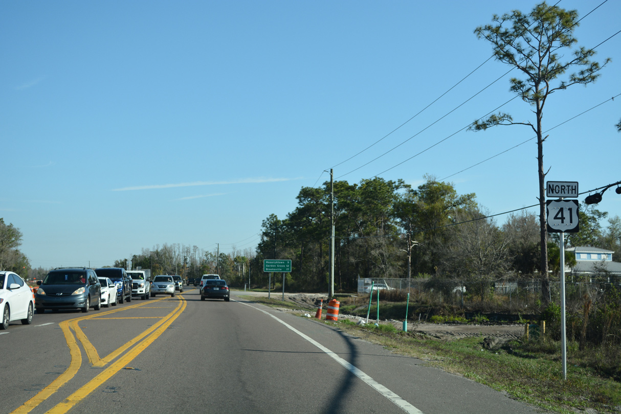
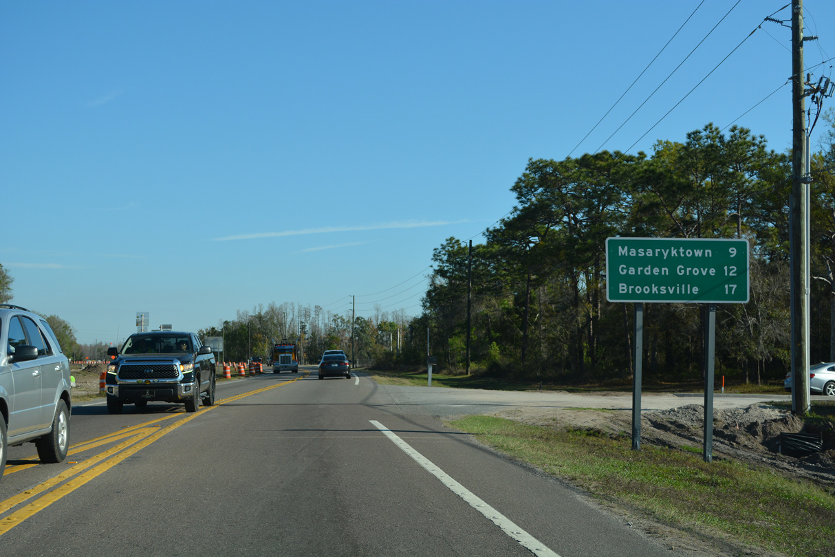
| Masaryktown (pronounced Mazarak-town), lies just north of the county line in nine miles. Garden Grove follows the unincorporated community in 12 miles while the Hernando County seat is another five miles. 03/02/22 |
|
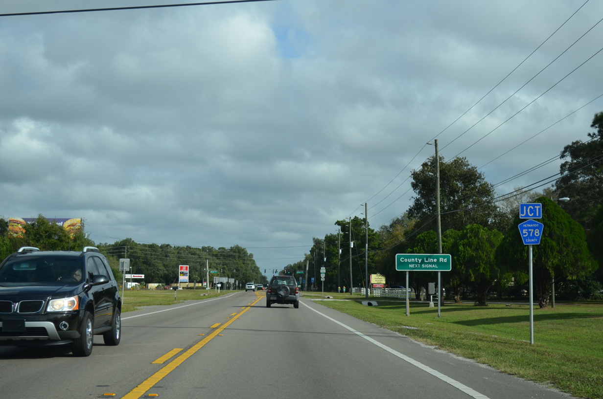
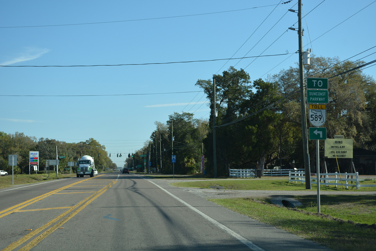
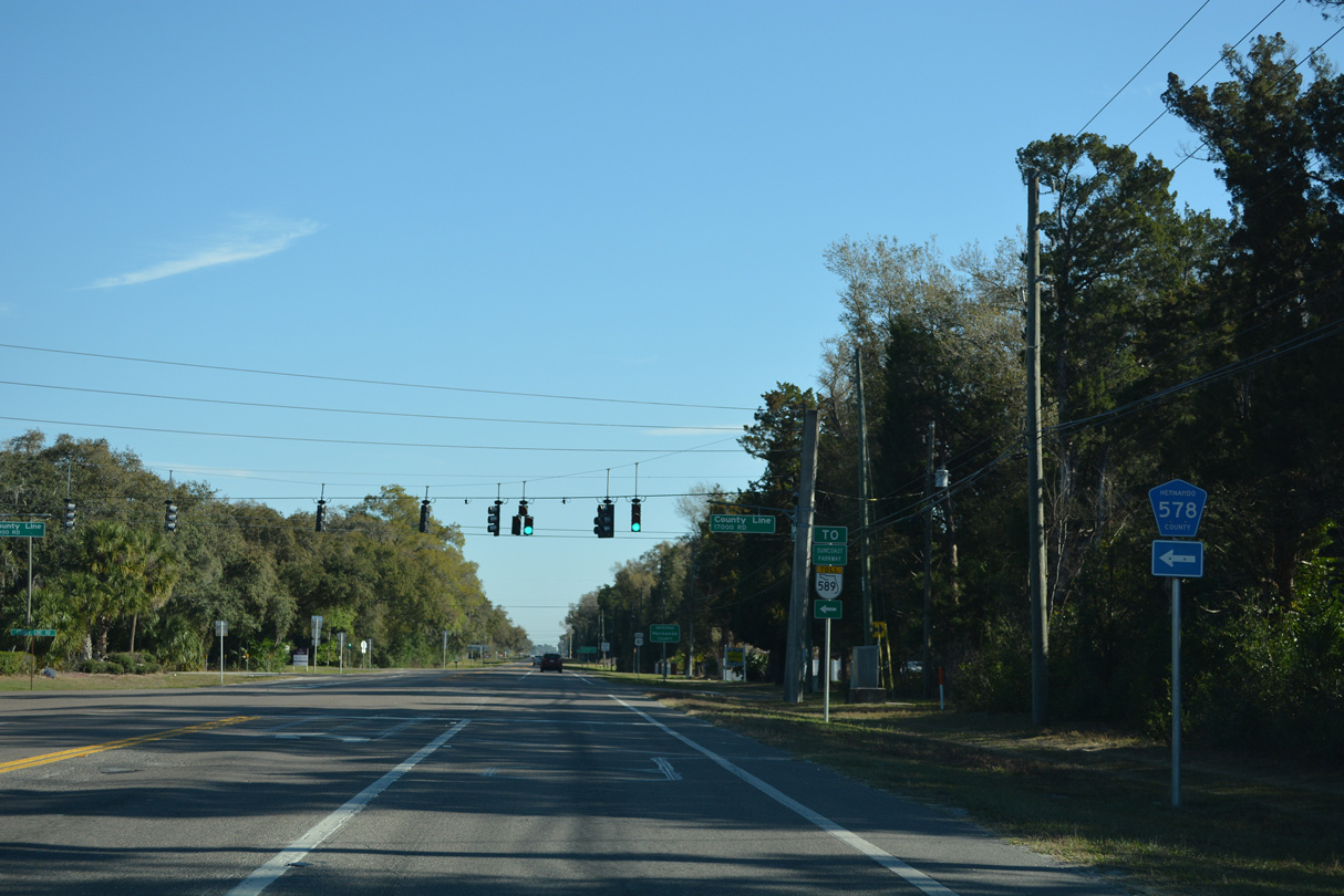
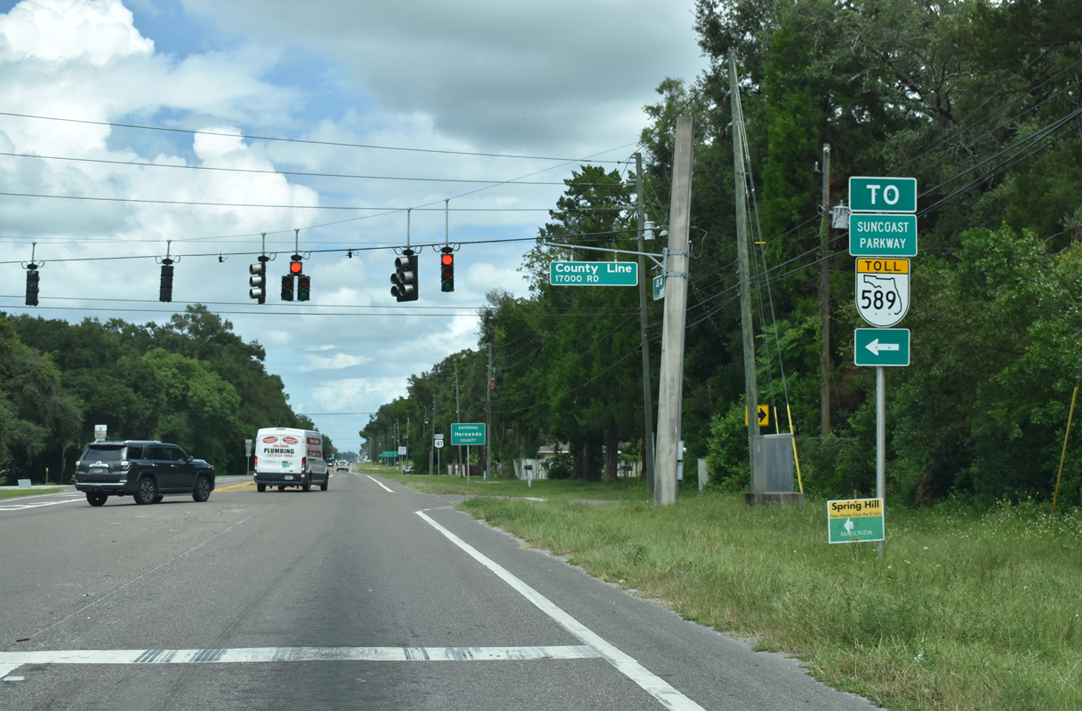
| Passing through South Masaryktown, U.S. 41 approaches the east end of County Road 578 (County Line Road). 11/18/15 |
|
| A diamond interchange joins CR 578 (County Line Road) with Suncoast Parkway (CR 589) 1.4 miles west of U.S. 41 and Masaryktown. 03/02/22 |
|
| CR 578 straddles the county border west 10.8 miles to U.S. 19 near Aripeka. 03/02/22, 09/15/19 |
|
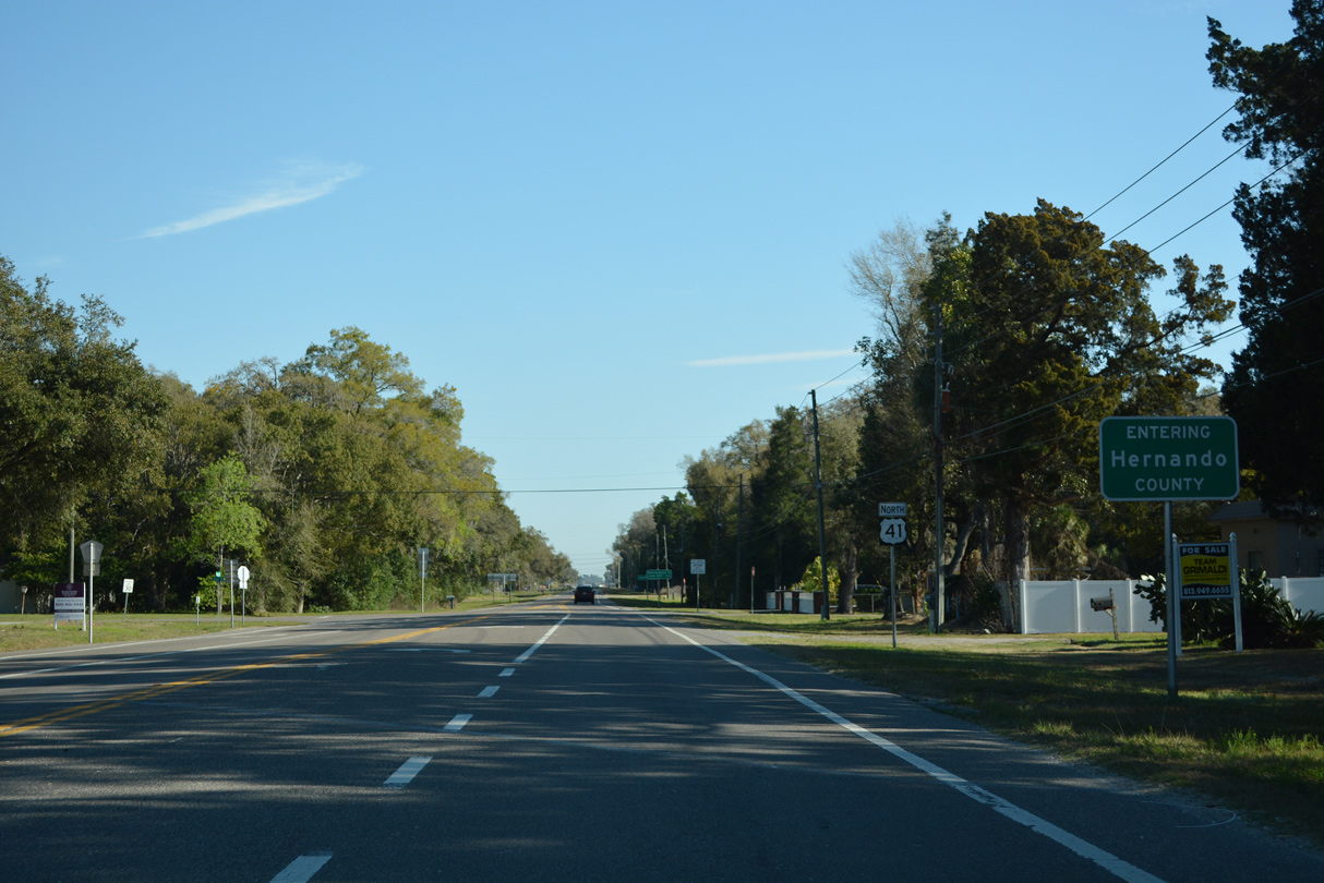
| The 19.81 mile long segment of U.S. 41 through Pasco County concludes at the Hernando County line. 03/02/22 |
11/18/15, 02/29/16, 04/20/16, 08/13/18, 09/15/19, 10/17/21, 03/02/22, 09/26/22, 05/04/23 by AARoads
Page Updated 05-04-2023.