|
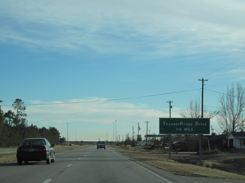
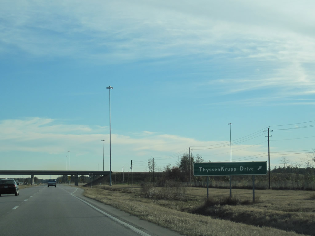
| Completed in 2009, a trumpet interchange joins U.S. 43 with Steel Drive (formerly ThyssenKrupp Drive) east to the AM/NS Calvert plant. The exchange replaced a signalized intersection with Dow Badische Road. 01/02/11 |
|
| The AM/NS Calvert plant was constructed from 2007 to 2009. Steel Drive also connects U.S. 43 with AM/NS Calvert Industrial Park. 01/02/11 |
|
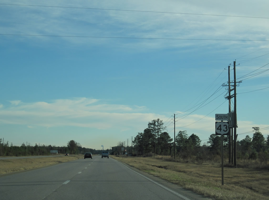
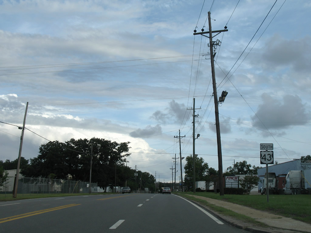
| Continuing south from Steel Drive and Calvert, U.S. 43 advances to the town of Mount Vernon. 01/02/11 |
|
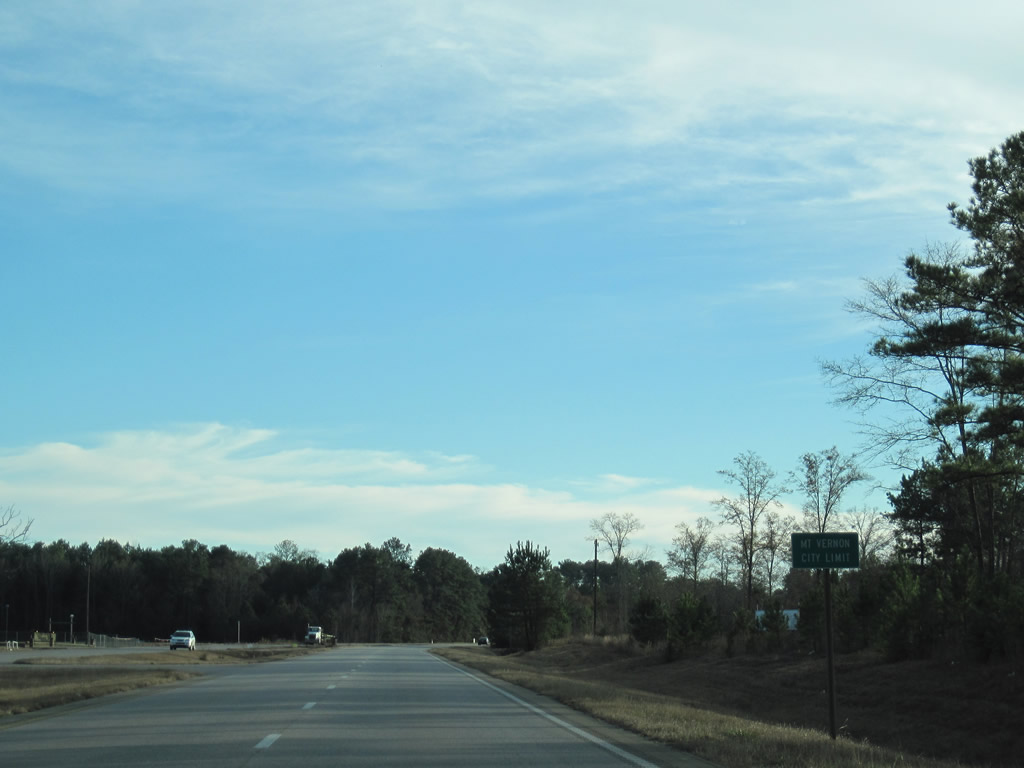
| Shifting to the west, U.S. 43 enters Mt. Vernon just ahead of Old US Highway 43. 01/02/11 |
|
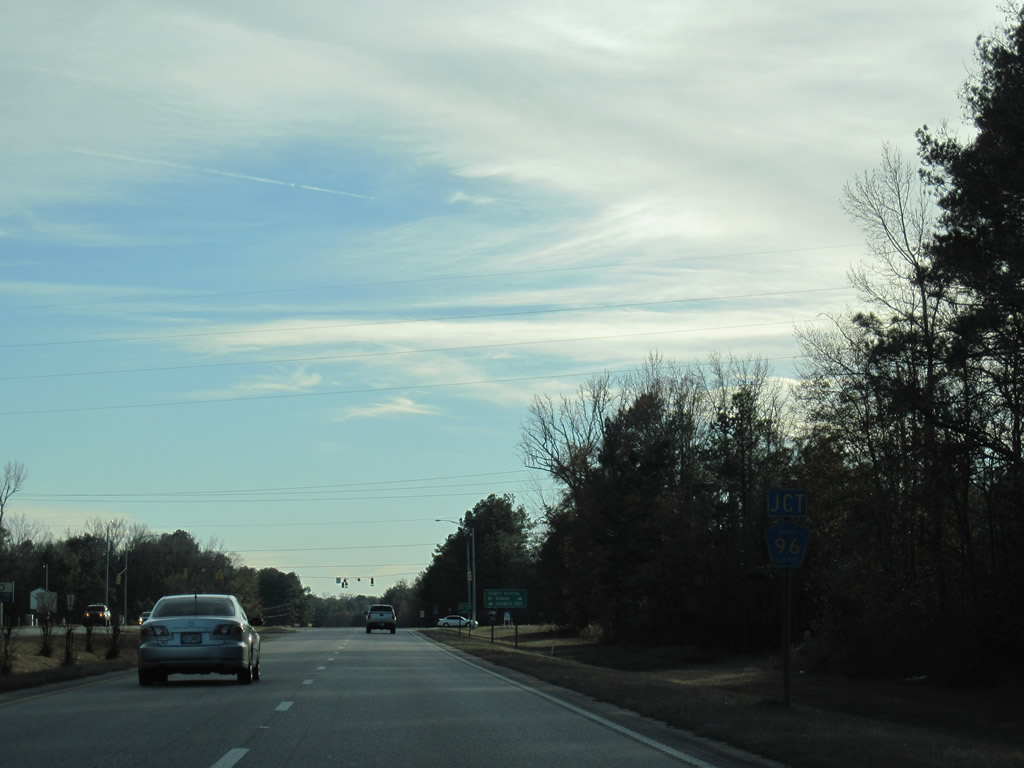
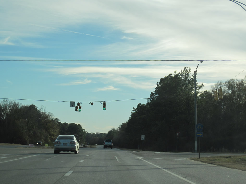
| CR 96 (Coy Smith Highway) leads 14.4 miles west from U.S. 43 at Military Road to Main Street in Citronelle. 01/02/11 |
|
| U.S. 43 passes west of the Mt. Vernon business district at CR 96 (Coy Smith Highway) and Military Road. Military Road east links with Old Fort Stoddard and State Landing Road to the Mobile River. 01/02/11 |
|
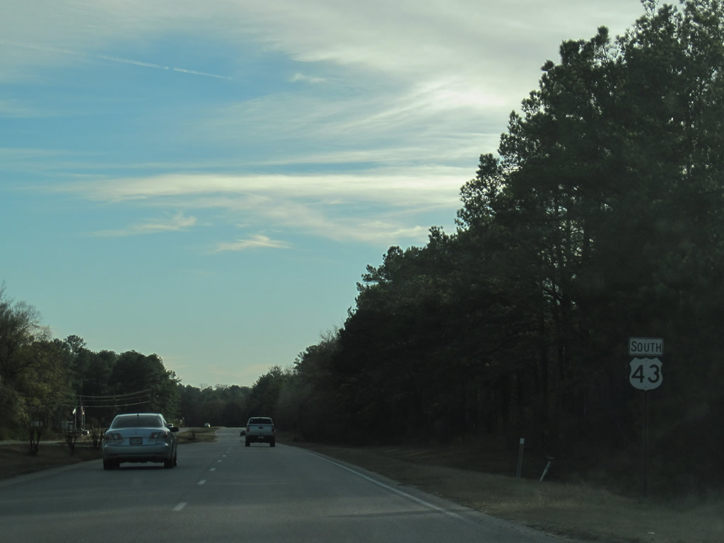
| U.S. 43 advances south from CR 96 with a 55 mph speed limit through Mt. Vernon. 01/02/11 |
|
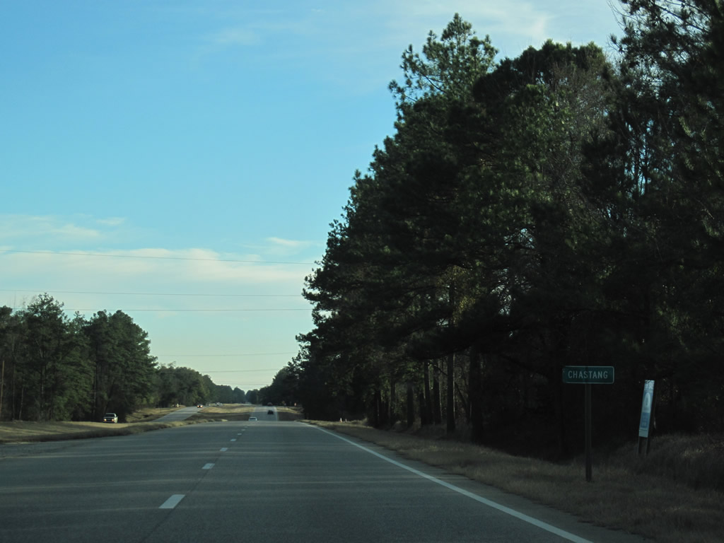
| Heading south from Cedar Creek, U.S. 43 passes through the unincorporated settlements of Movico and Chastang. 01/02/11 |
|
| U.S. 43 travels west of the Barry Electric Generating Plant at Bucks. 01/02/11 |
|
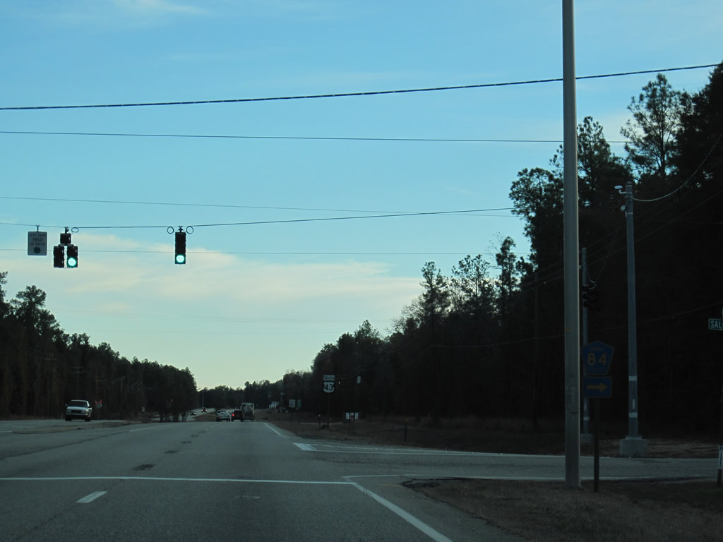
| CR 84 stems west from U.S. 43 at Salco to CR 43 (Celeste Road) near Turnerville. A traffic light at the east end of Salco Road was added in 2010. 01/02/11 |
|
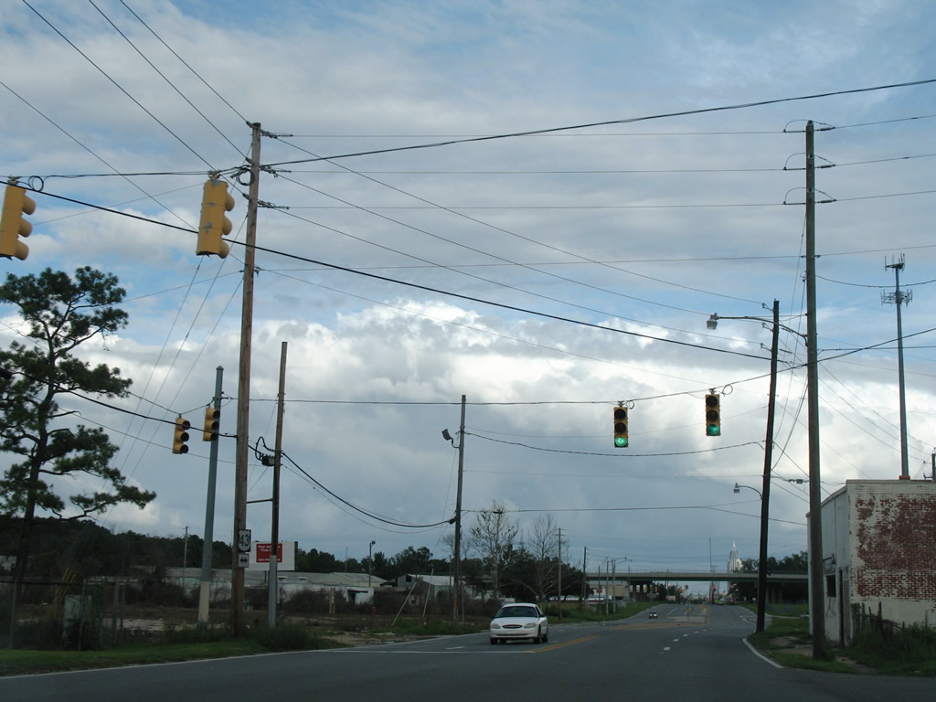
| Leaving the directional cloverleaf interchange (Exit 19) with Interstate 65, U.S. 43 south enters the city of Satsuma at Pennsylvania Avenue. 07/15/05 |
|
| SR 213 (Shelton Beach Road) branches south from U.S. 43 (Saraland Boulevard) at a five point intersection with CR 41 (Celeste Road) north to Citronelle and Ferry Avenue east to Bayou Sara. SR 213 angles 5.75 miles southwest to U.S. 45 at Eight Mile in Prichard. 07/17/07 |
|
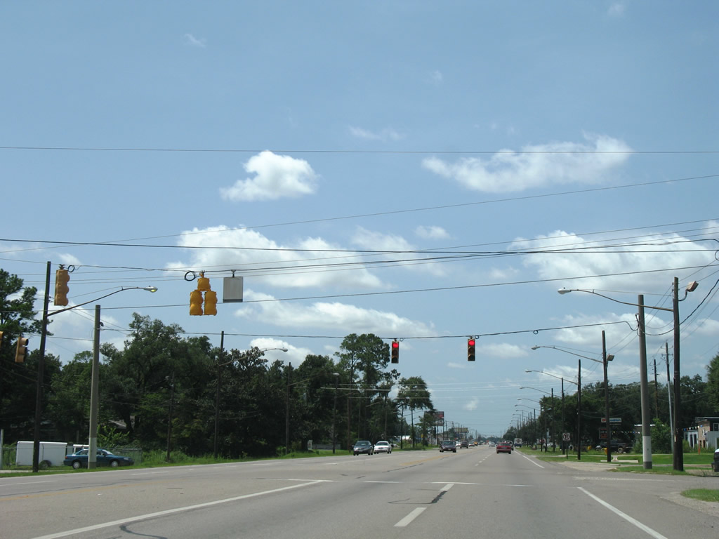
| U.S. 43 constitutes a commercial boulevard south through the city of Saraland. McKeough Avenue stems west from Saraland Boulevard to Cleveland Road. 07/17/07 |
|
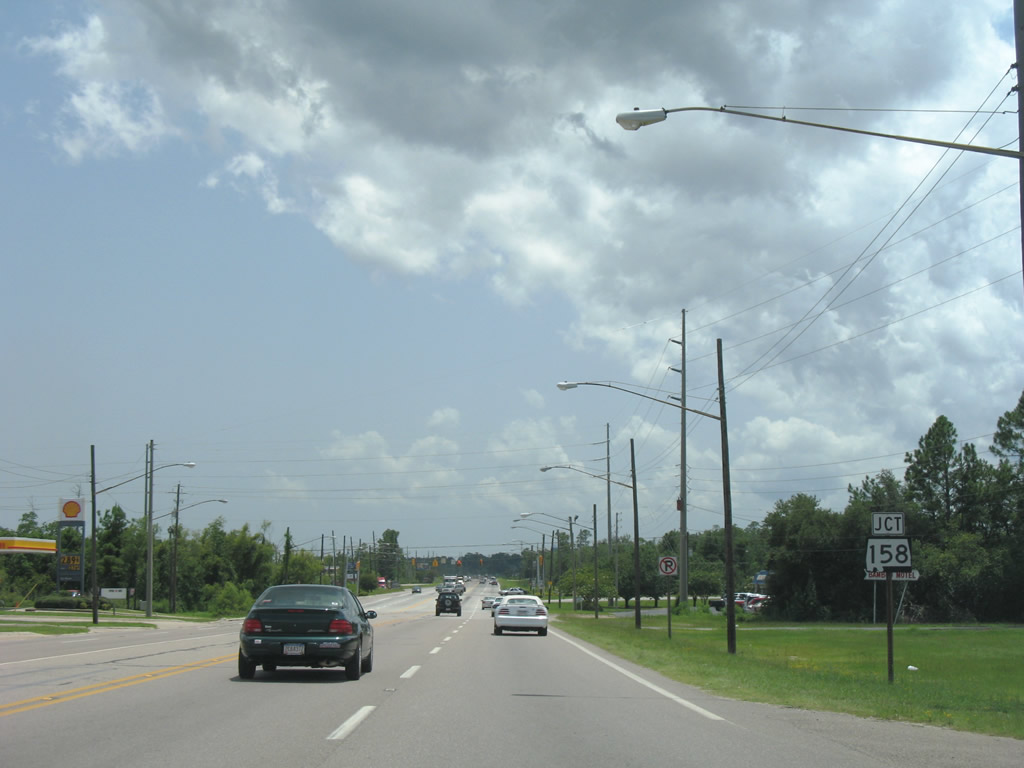
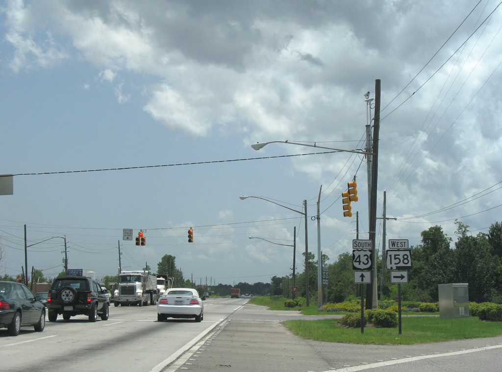
| SR 158 runs west from U.S. 43 at Industrial Parkway west 2.01 miles to a parclo interchange with I-65 at SR 213 (Shelton Beach Road). SR 158 continues west from there along Joe Malone Parkway to Newburn Road near Semmes. 07/17/07 |
|
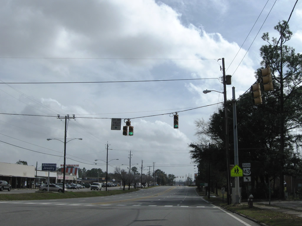
| SR 158 stretches 9.28 miles west from U.S. 43 in Saraland to Newburn Road south. Construction through 2023 extends the expressway west from Newburn Road as part of the planned realignment of U.S. 98 north from Mobile. 07/17/07 |
|
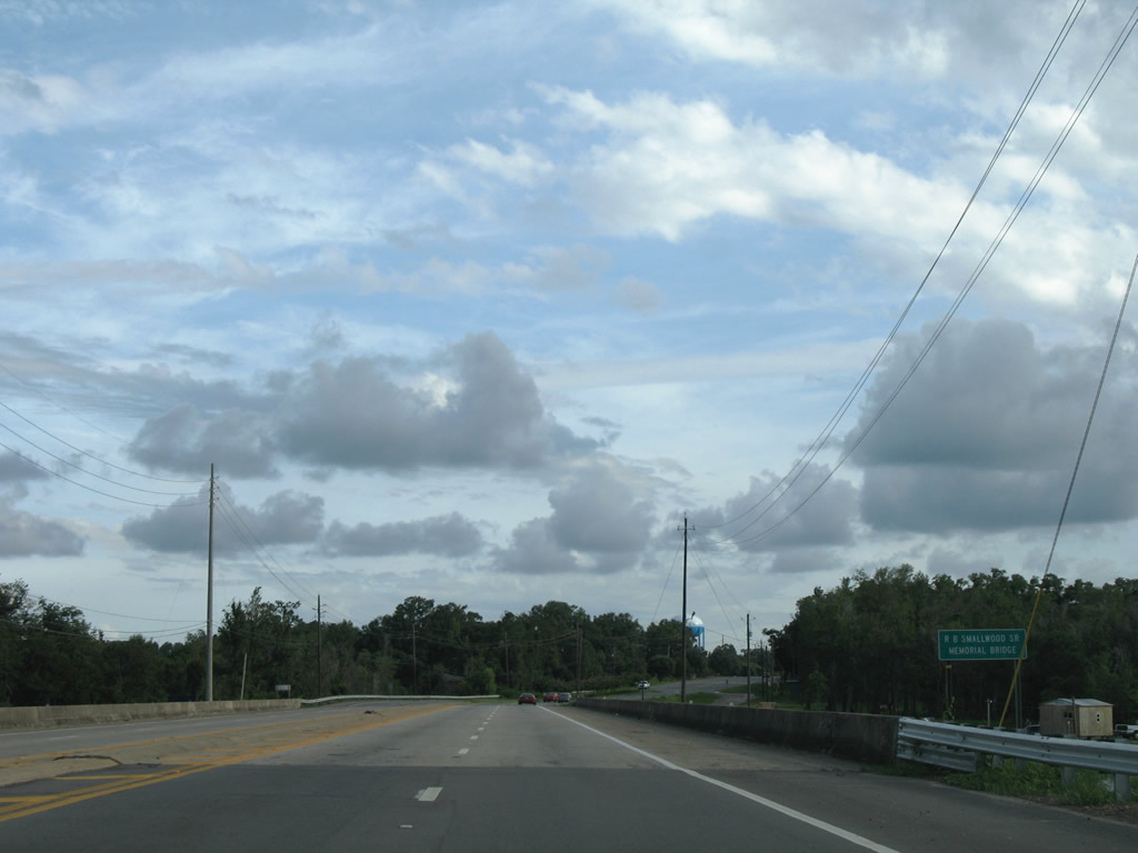
| Straddling the Chickasaw and Saraland city line, U.S. 43 proceeds south to cross Chickasaw Creek on the R.B. Smallwood, Sr. Memorial Bridge. 07/16/07 |
|
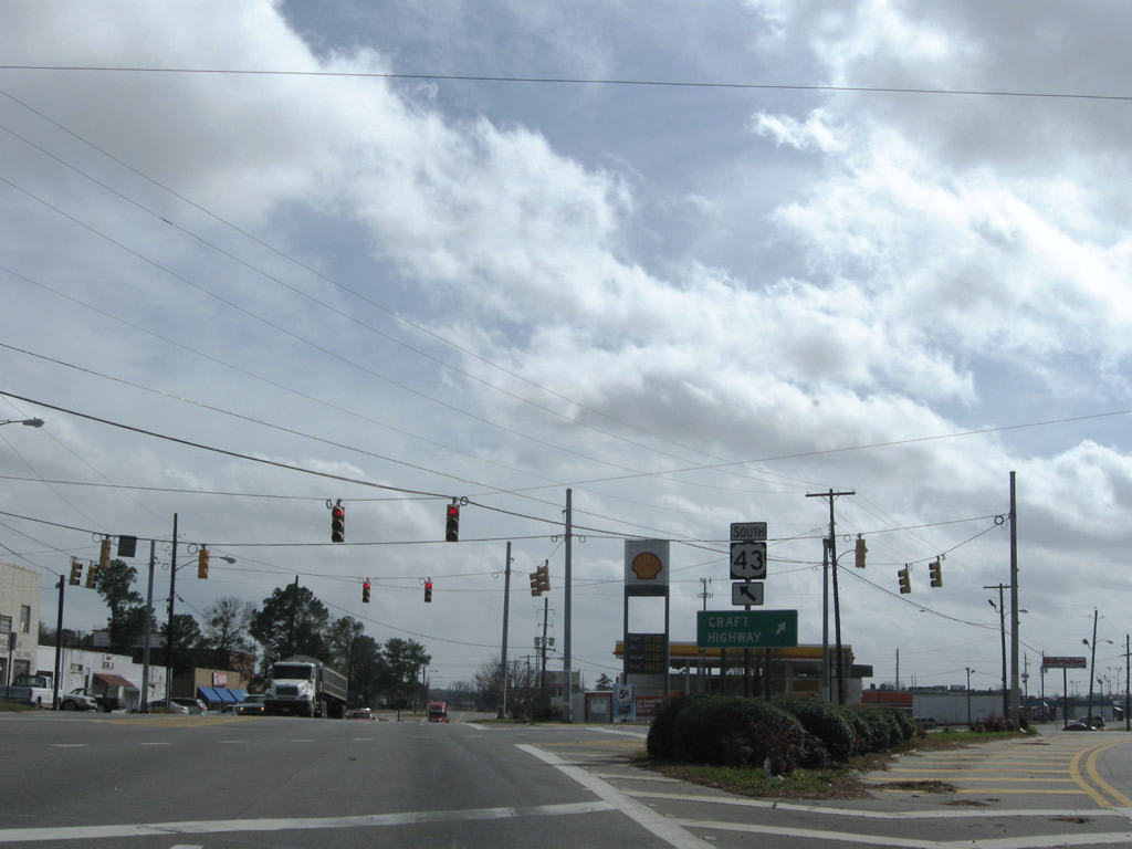
| Viaduct Road leads east from U.S. 43 (Craft Highway) in Chickasaw to the Mobile/Chickasaw Port Facility across the Norfolk Southern Railroad. U.S. 43 separates from Craft Highway for Telegraph Road at the ensuing signal. 02/11/09 |
|
| Craft Highway heads southwest into the city of Prichard as Wilson Avenue to Summerville, Downtown and U.S. 45 (St. Stephens Road) in Mobile. U.S. 43 follows Telegraph Road to the east. 07/16/07 |
|
| Prior to 1981, U.S. 43 followed Craft Highway (SR 193) to U.S. 45 at Toulminville in Mobile. U.S. 43/45 then overlapped south to U.S. 98 at Broad Street. AASHTO approved the relocation of U.S. 43 on October 4, 1981. 02/11/09 |
|
| South from Short Street, U.S. 43 (Telegraph Road) passes through a notch of the Mobile city limits between Chickasaw and the Summerville community in Prichard. 07/17/07 |
|
| Diaz Street runs east from Turner Road and Dr. Martin Luther King, Jr. Drive to meet U.S. 43 across from Woodland Avenue. Woodland Avenue east becomes Paper Mill Road south to an industrial area at Magazine and U.S. 90 at the Africatown Bridge. 02/11/09 |
|
| The final reassurance shield for U.S. 43 south stands along Telegraph Road at Diaz Street. 07/17/07 |
|
| Birmingham Street heads east from Dr. Martin Luther King, Jr. Drive to meet U.S. 43 (Telegraph Road) opposite Edwards Street west from the Plateau community of Mobile. 07/17/07 |
|
| Meaher Avenue ties into U.S. 43 (Telegraph Road) adjacent to Willjohn Street. Meaher Avenue west to Wilson Avenue (former SR 193) was once designated as State Route 194. 07/17/07 |
|
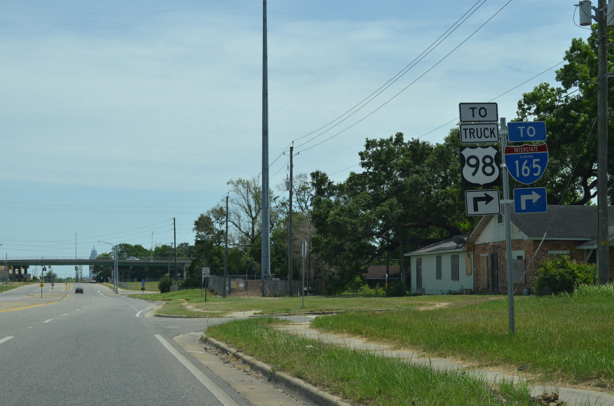
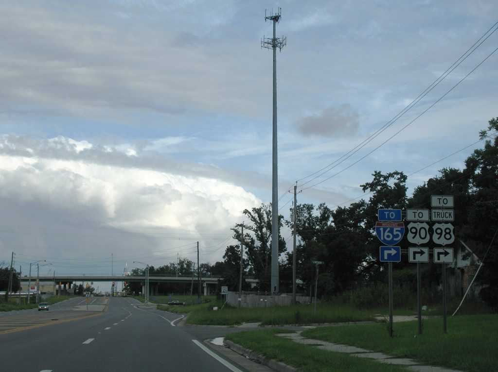
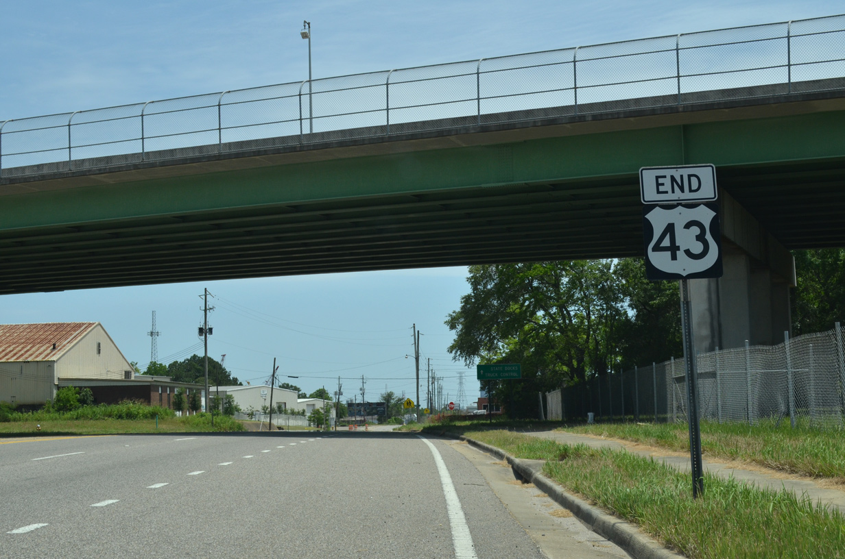
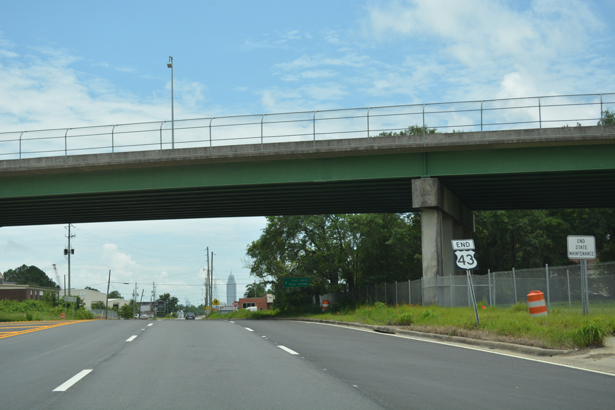
| U.S. 43 south concludes at the grade separation taking U.S. 90/98 Truck (Africatown Boulevard) over Telegraph Road. A multi lane connector links the two routes two blocks south of Cawthon Street. 05/15/16 |
|
| The previous shield assembly posted on U.S. 43 south at Cawthon Street referenced U.S. 90. U.S. 90 was realigned northward from Government Street and the Bankhead Tunnel through Downtown on Bay Bridge Road in 2001. 07/17/07 |
|
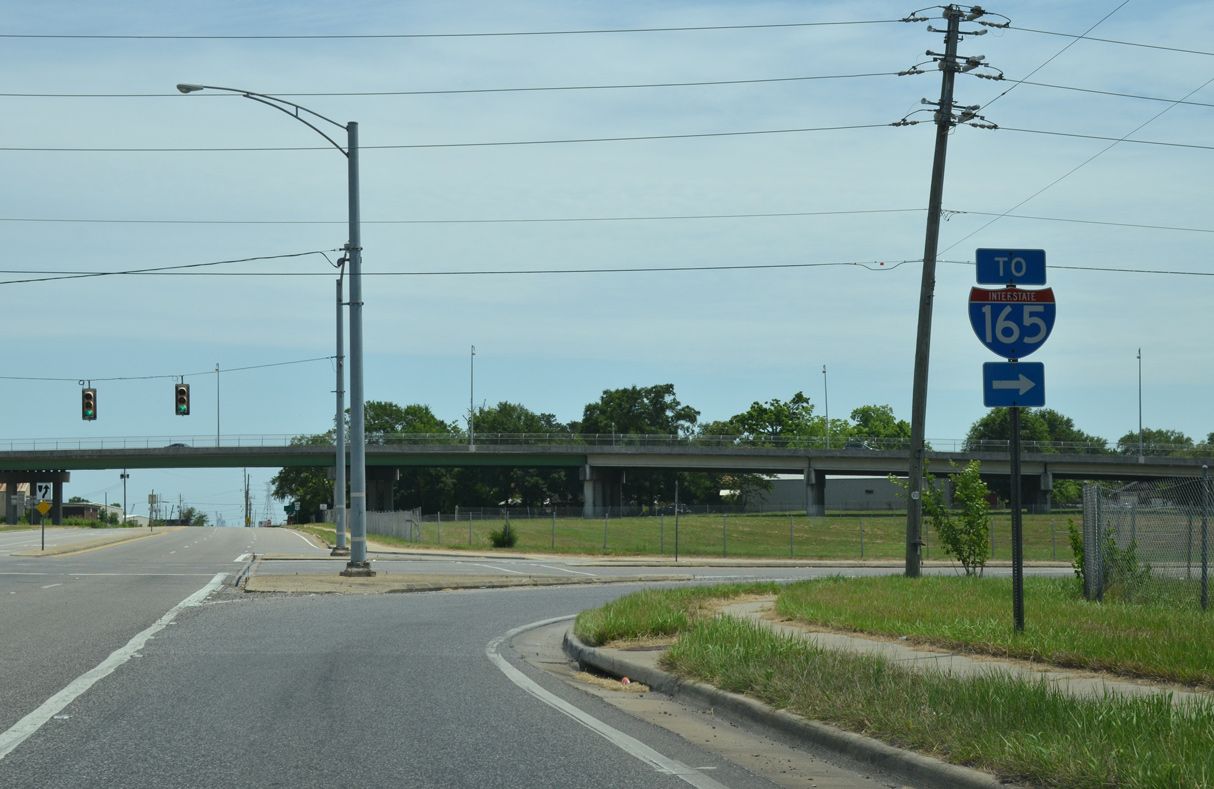
| The lone trailblazer for I-165 at the connector to Africatown Boulevard was removed by 2018. U.S. 90/98 Truck joins I-165 south toward Downtown Mobile in 0.63 miles. 05/15/16 |
|
| The end shield for U.S. 43 stands below the Africatown Boulevard overpass along Telegraph Road. 05/15/16 |
|
| Telegraph Road continues southward as a locally maintained roadway to Bay Bridge Road Cutoff and Three Mile Creek before entering the Alabama State Docks area at Dekle Drive. 06/05/17 |
Page Updated 08-10-2022.

 South
South