|
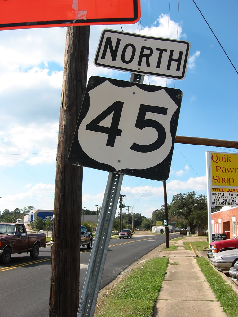
| Replaced in 2004, the previous first northbound shield for U.S. 45 posted on Saint Stephens Road at the five point intersection with U.S. 98 (Spring Hill Avenue) and Ann Street. 10/31/03 |
|
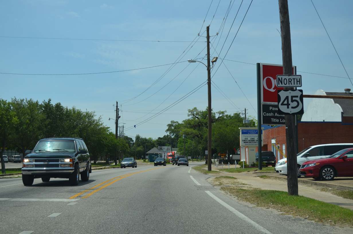
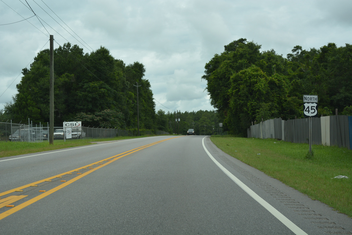
| U.S. 45 (Saint Stephens Road) angles northwest from U.S. 98 through the street grid toward Prichard. U.S. 98 continues west to Midtown Mobile. 05/15/16 |
|
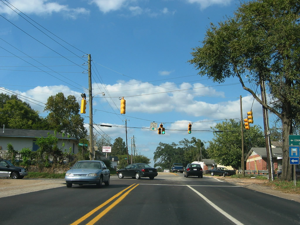
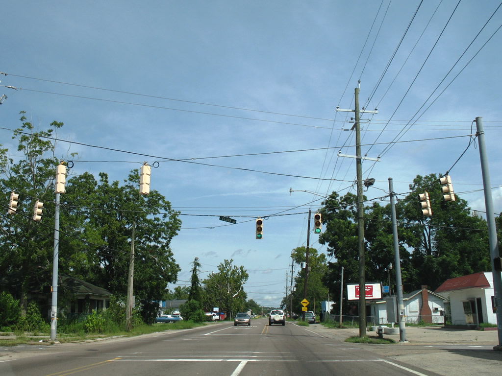
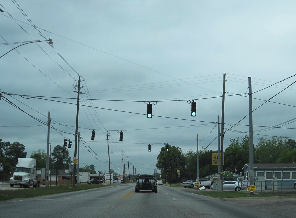
| 30 inch Traffic Signal Corporation lights on U.S. 45 (St. Stephens Road) north at Lafayette Street. These vintage signals were replaced by 2007. 06/01/04 |
|
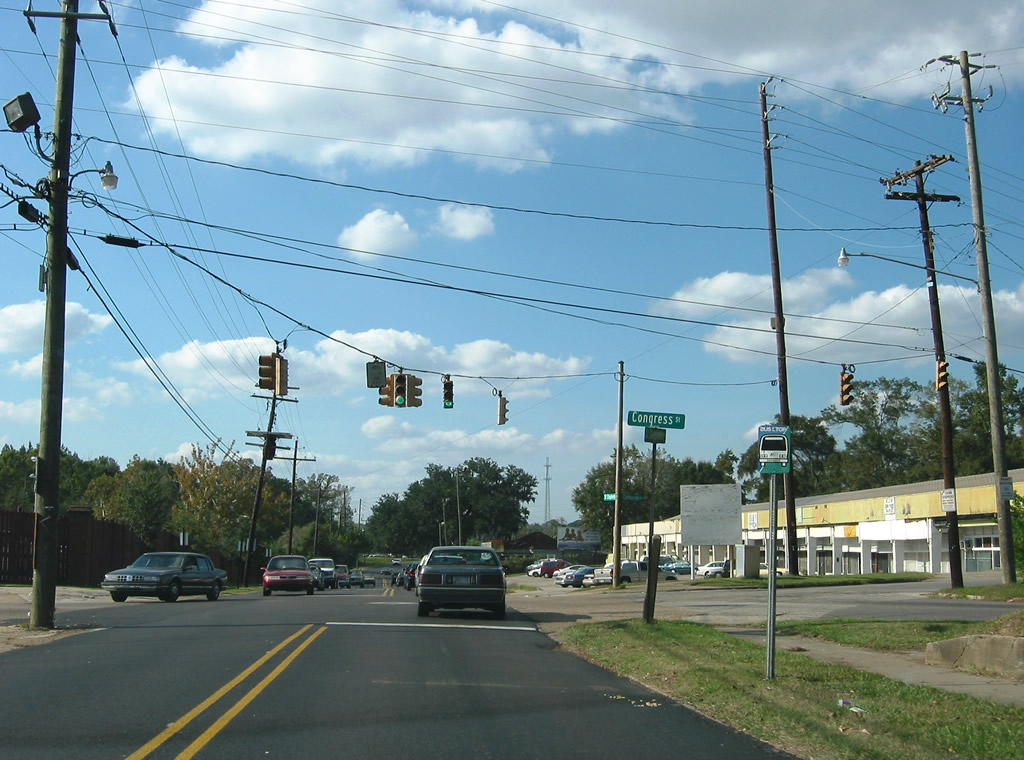
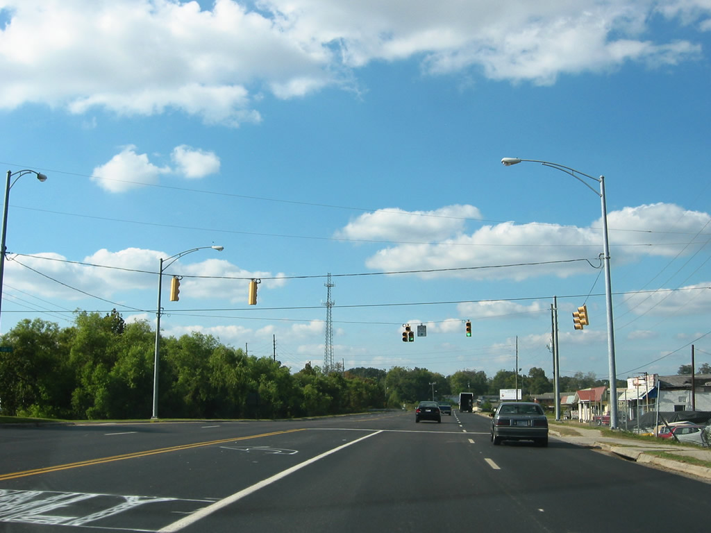
| A set of older Crouse Hinds signals previously operated at the five point intersection of Saint Stephens Road, Catherine Street and Congress Street east. 10/31/03 |
|
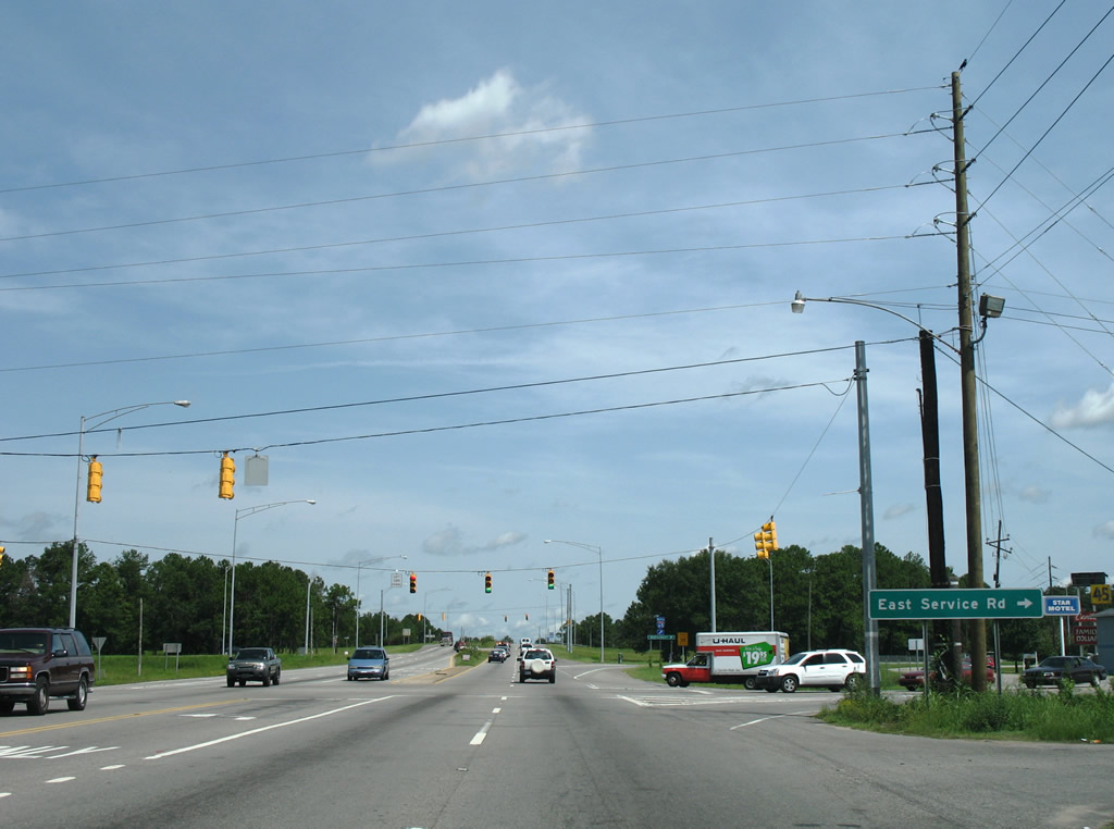
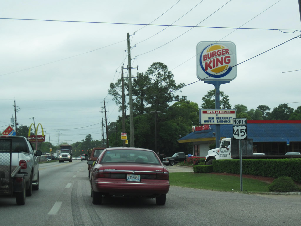
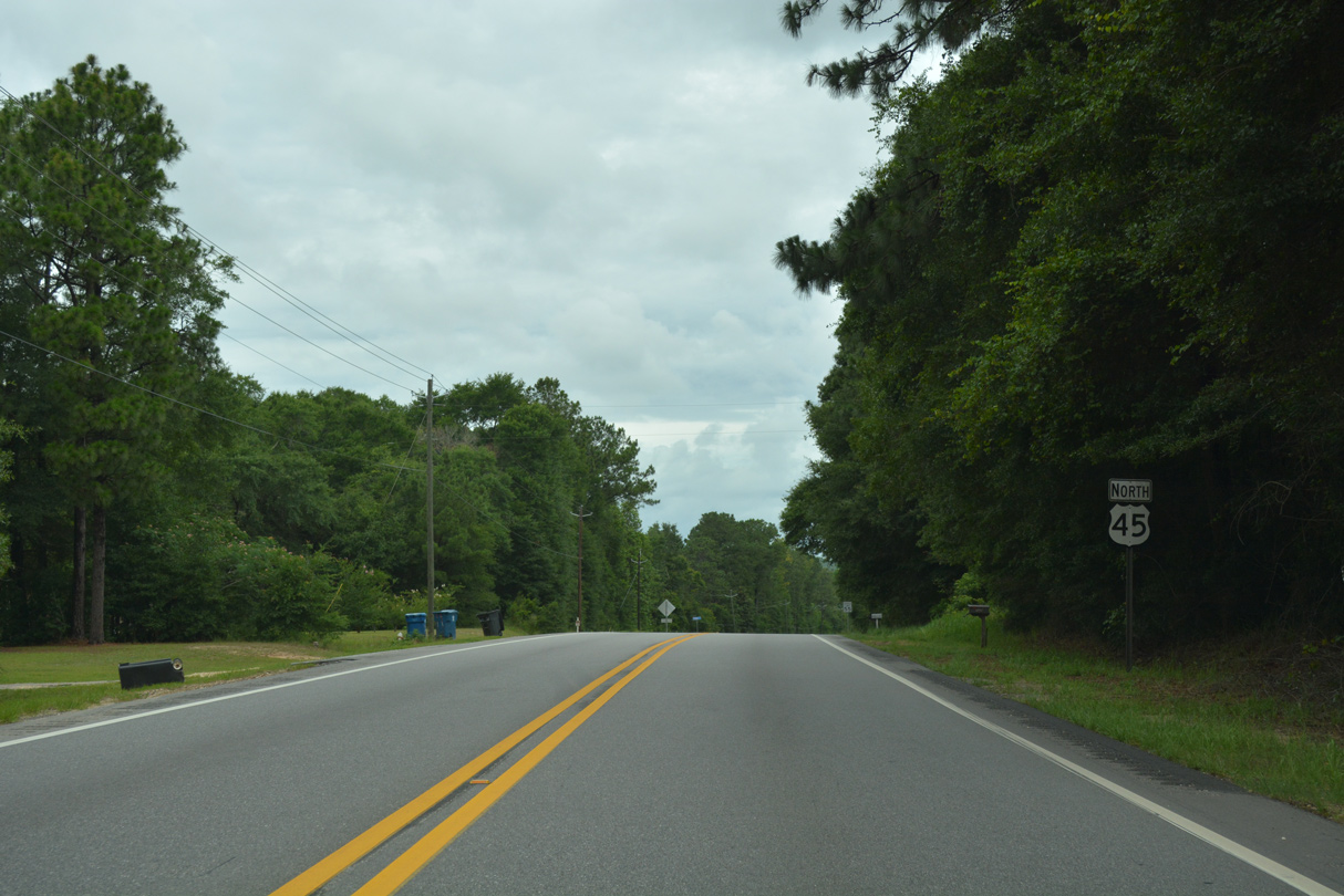
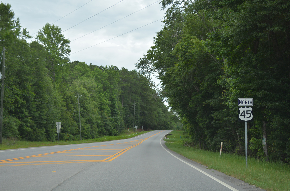
| U.S. 45 northbound reassurance shield, posted just beyond Catherine and Congress Streets. Passing by a small strip mall, U.S. 45 curves northwest at Three Mile Creek en route to Prichard. 10/31/03 |
|
| U.S. 45 widens briefly to four lanes from the intersection of Cox Street westward to Three Mile Creek and the Allenville community. Cox Street is a short connector between Saint Stephens Road and the University of South Alabama medical complex on Center Street. 10/31/03 |
|
| Saint Stephens Road returns to two lanes at the signalized intersection with Pleasant Avenue. Pleasant Ave runs between U.S. 45 and Stanton Road. This street receives a fair amount of traffic. 10/31/03 |
|
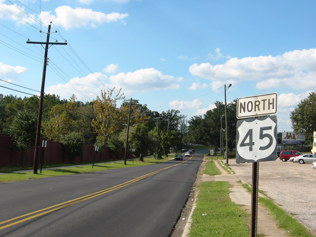
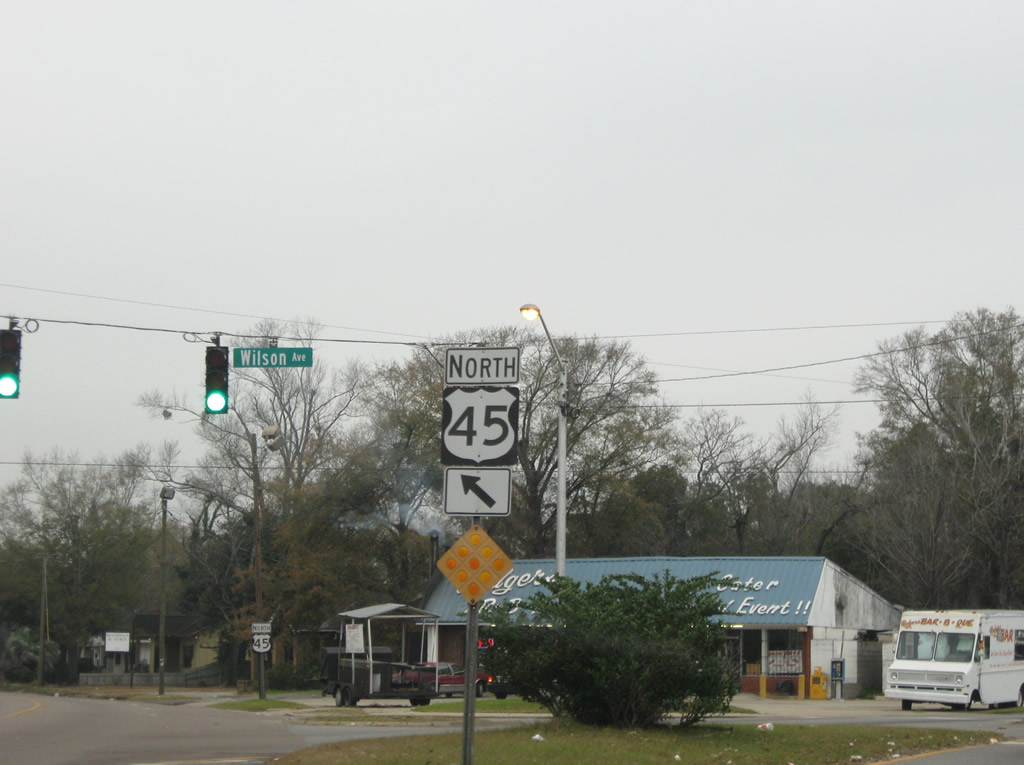
| Northbound U.S. 45 reassurance shield posted near Oak Drive. Saint Stephens Road angles to the northwest between Pleasant Avenue and the five point intersection with Wilson Avenue and Dr. Martin Luther King, Jr. Avenue. 11/12/03 |
|
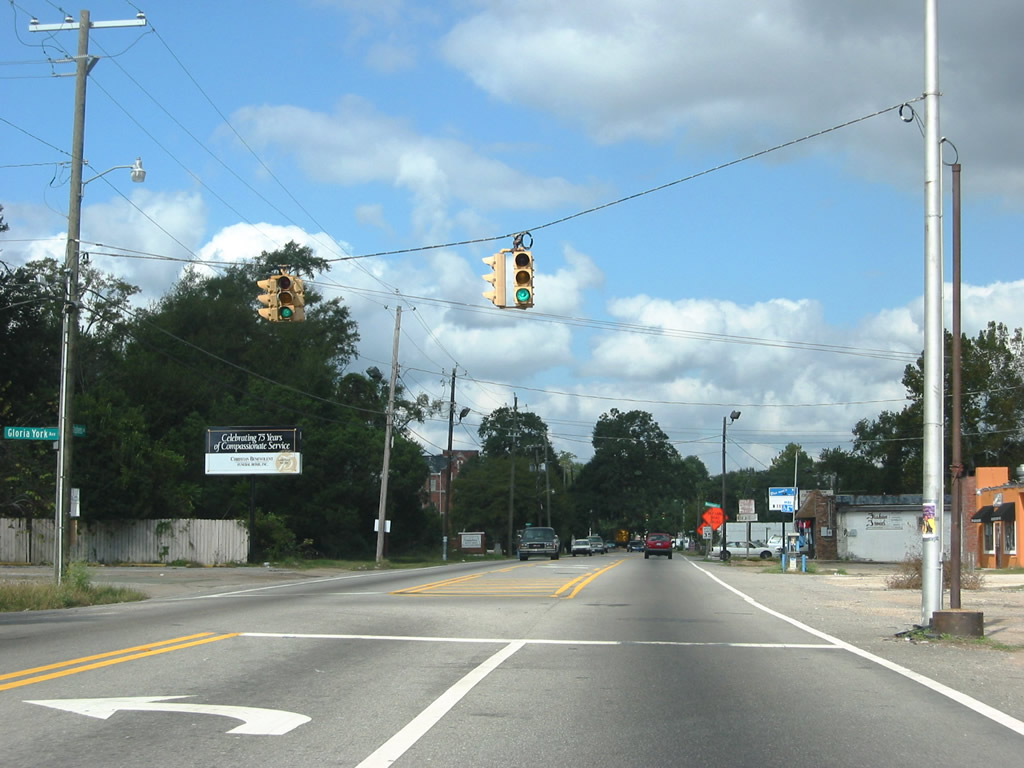
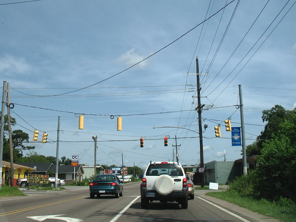
| 30 inch Crouse Hinds and Traffic Signal Corporation signals previously operated at U.S. 45 and Gloria York Avenue west. This local street was originally named Finch Avenue. 11/12/03 |
|
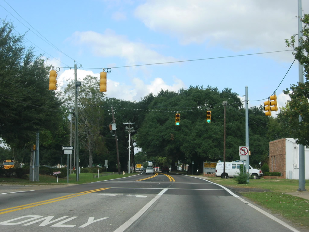
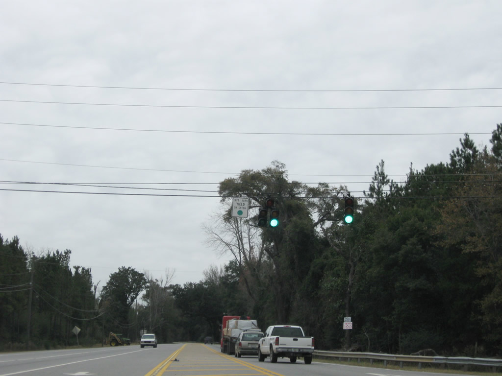
| U.S. 45 northbound at Allison Street. The signal serves LeFlore High School and Michael A. Figures Community Center. 11/12/03 |
|
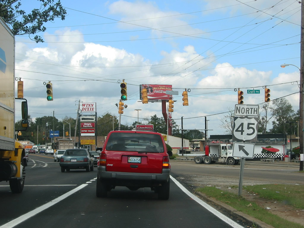
| U.S. 45 converges with Dr. Martin Luther King, Jr. Avenue at Craft Highway, an arterial that eventually becomes U.S. 43 to the north en route to Chickasaw. U.S. 43 originally followed Craft Highway south to U.S. 45. 11/12/03 |
|
| U.S. 45 advances one block north from the five point intersection with Craft Highway and Dr. Martin Luther King, Jr. Avenue to Seale Street. 11/12/03 |
|
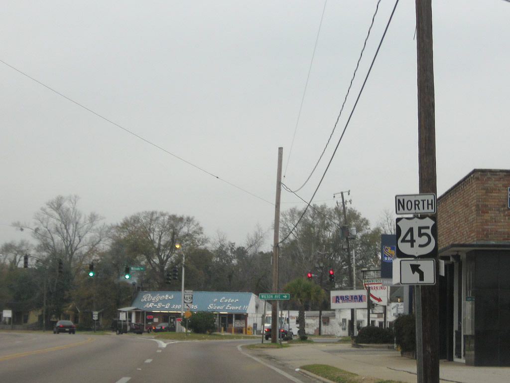
| Wilson Avenue branches northeast from U.S. 45 (St. Stephens Road) to central Prichard and Interstate 165. The urban boulevard represents the former route of U.S. 43 Alternate and SR 193. 01/25/09 |
|
| Wilson Avenue parallels Craft Highway / Dr. Martin Luther King, Jr. Drive (former U.S. 43) northward before the two converge ahead of the Chickasaw city limits. Wilson Avenue originally split into Lovejoy Loop East and West through Downtown Prichard. 01/25/09 |
|
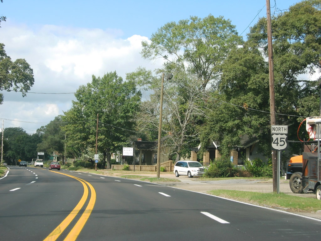
| North of Wilson Avenue, U.S. 45 narrows to two travel lanes with a center turn lane through a residential area. 11/12/03 |
|
| Prichard Avenue runs along the Prichard city limits between Summerville Street and College Street. These signals on U.S. 45 at Prichard were replaced by 2007, and left turn movements are no longer protected. 11/12/03 |
|
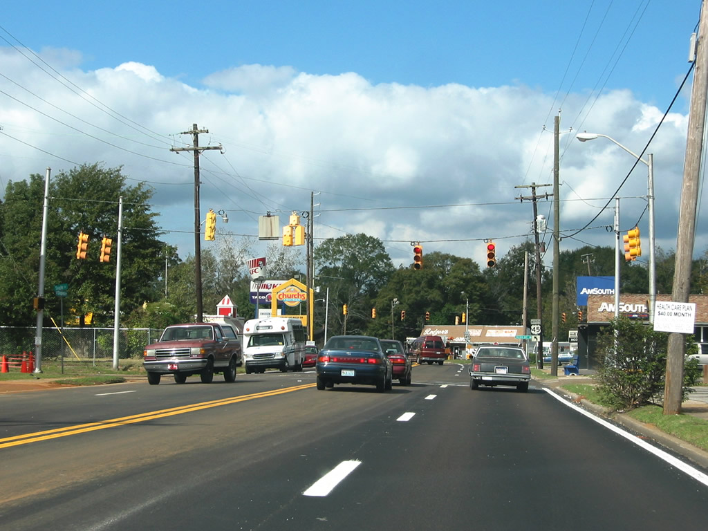
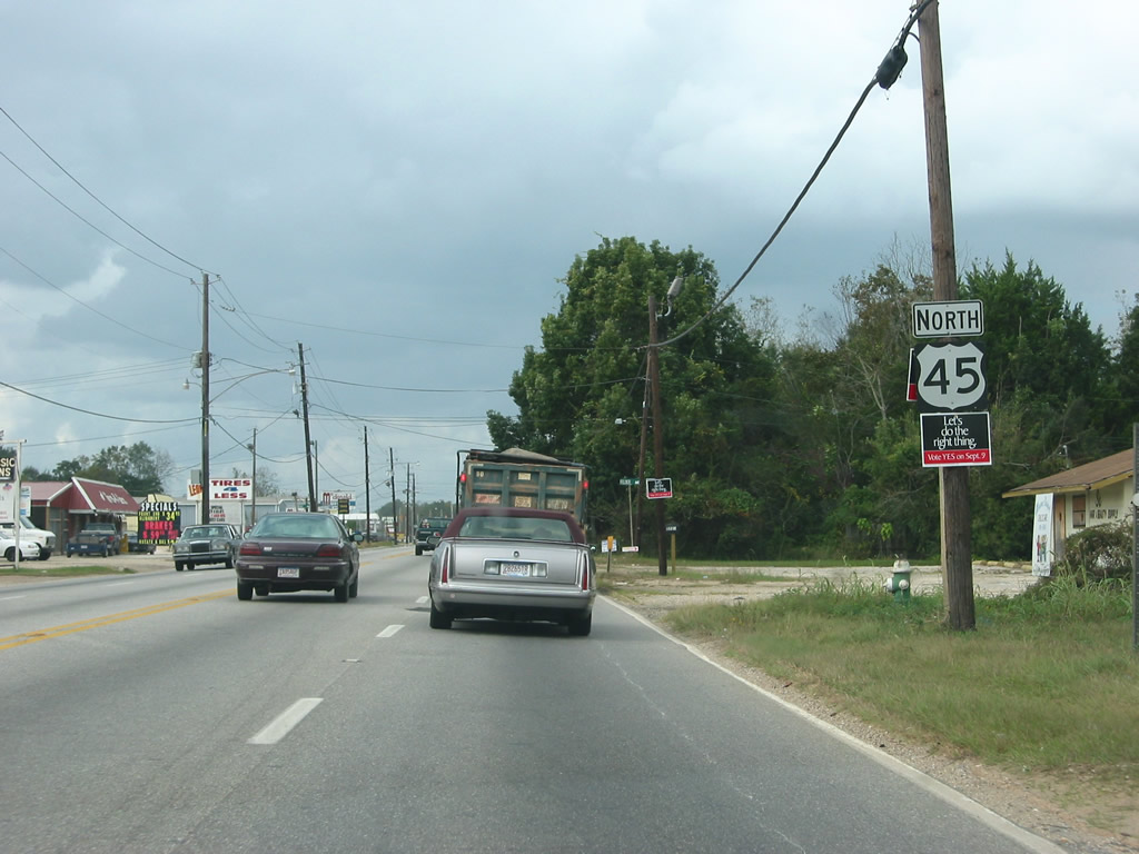
| U.S. 45 progresses northward through the city of Prichard. 10/31/03 |
|
| Clark Avenue comprises a through street between U.S. 45 (St. Stephens Road) and Lovejoy Loop East at Downtown Prichard. 07/17/07 |
|
| First Avenue serves residential areas to the east and west of Saint Stephens Road. 07/17/07 |
|
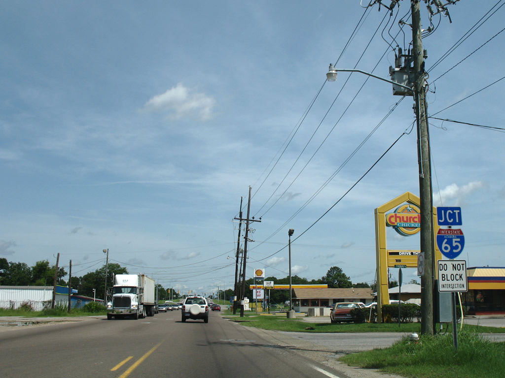
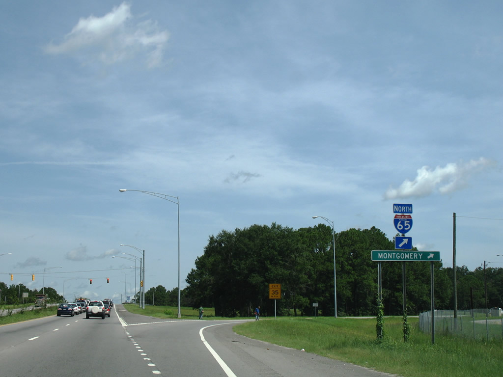
| U.S. 45 expands to four lanes leading into the six-ramp parclo interchange (Exit 8) with Interstate 65. 07/17/07 |
|
| Originally a full cloverleaf interchange, modifications completed in 2005 at the exchange removed the loops ramps from I-65 to U.S. 45. Interstate 65 leads northeast to I-165, Chickasaw, Saraland, and Satsuma before crossing into Baldwin County. 07/17/07 |
|
| Berkley Avenue west and Hinson Avenue link U.S. 45 with E I-65 Service Road south into Mobile and Bessemer Avenue north alongside Interstate 65 to Main Street. 07/17/07 |
|
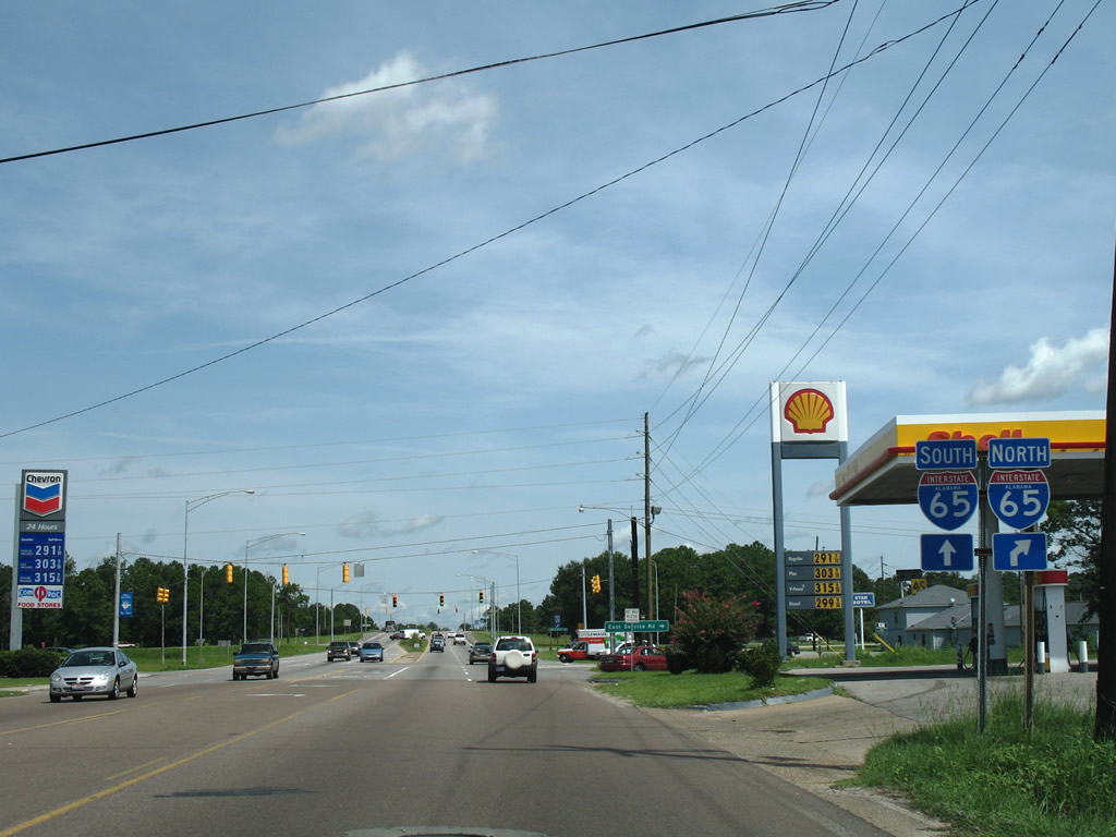
| Interstate 65 north joins the Mobile area with Montgomery and Birmingham. 07/17/07 |
|
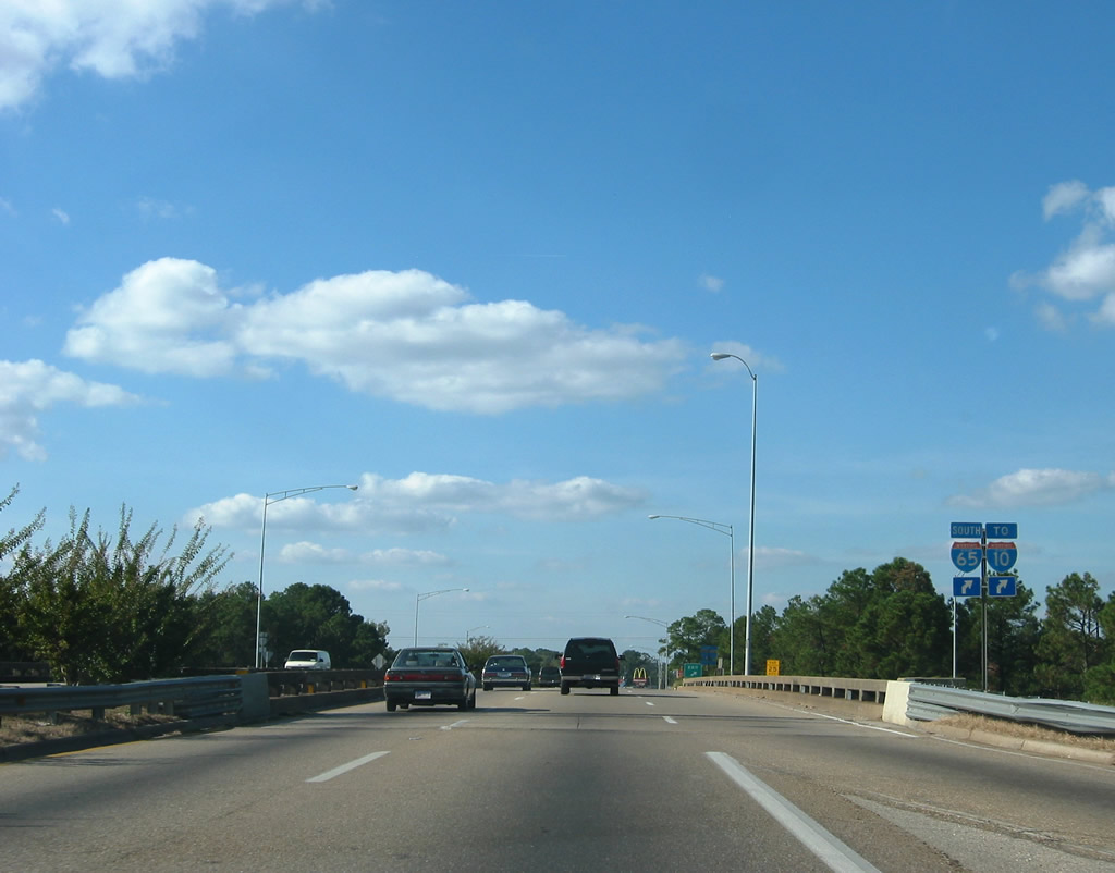
| I-65 concludes eight miles to the south of U.S. 45 (St. Stephens Road) at Interstate 10 in Mobile. 10/31/03 |
|
| Leeds Avenue ties into U.S. 45 at the north end of W I-65 Service Road. The frontage road system of Interstate 65 extends south into the city of Mobile. 04/30/10 |
|
| Several fast food restaurants and other roadside businesses line U.S. 45 leading away from Interstate 65. 04/30/10 |
|
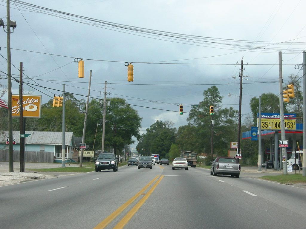
| Continuing through north Prichard, U.S. 45 intersects Hand Avenue west and Wasson Avenue east. U.S. 45 maintains four lanes between Interstate 65 and SR 217 (Lott Road). 11/04/03 |
|
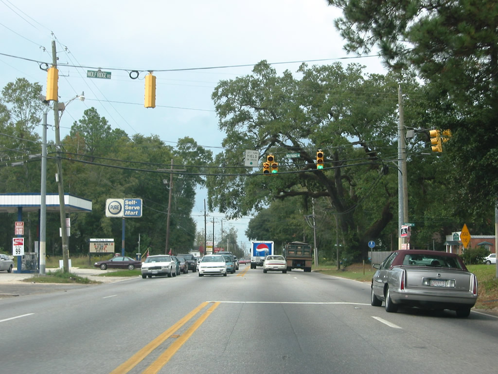
| Wolf Ridge Road connects U.S. 45 (St. Stephens Road) with U.S. 98 (Moffett Road) and northwest Mobile. 11/04/03 |
|
| Reassurance marker preceding Bear Fork Road, a collector running west between Mobile and Prichard, roughly along the city line. 11/04/03 |
|
| Bear Fork Road and Boaz Avenue meet U.S. 45 (St. Stephens Road) at adjacent traffic signals. Boaz Avenue is a local road connecting St. Stephens Road with Main Street. Bear Fork Road provides a direct route to U.S. 98 (Moffett Road) west of the Prichard city limits. 04/30/10 |
|
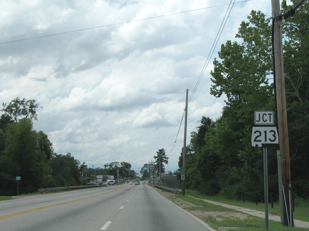
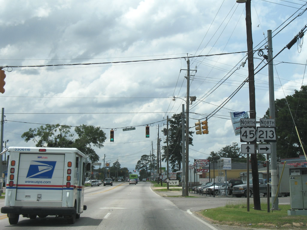
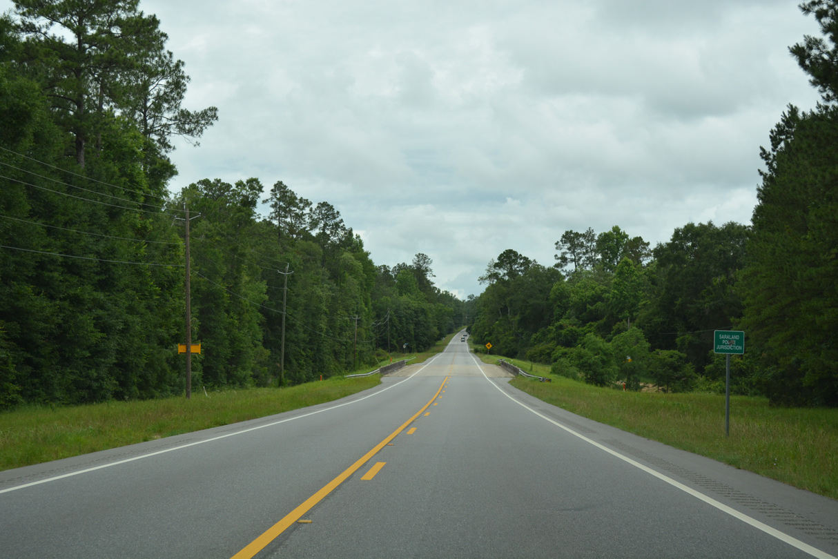
| Entering the community of Eight Mile in northwest Prichard, U.S. 45 (St. Stephens Road) meets SR 213 (Shelton Beach Road). 07/17/07 |
|
| SR 213 heads 5.75 miles northeast from U.S. 45 along Shelton Beach Road to Saraland. Shelton Beach Road continues south of St. Stephens Road as a local road to Bear Fork Road and U.S. 98 (Moffett Road) near Forest Hill in Mobile. 07/17/07 |
|
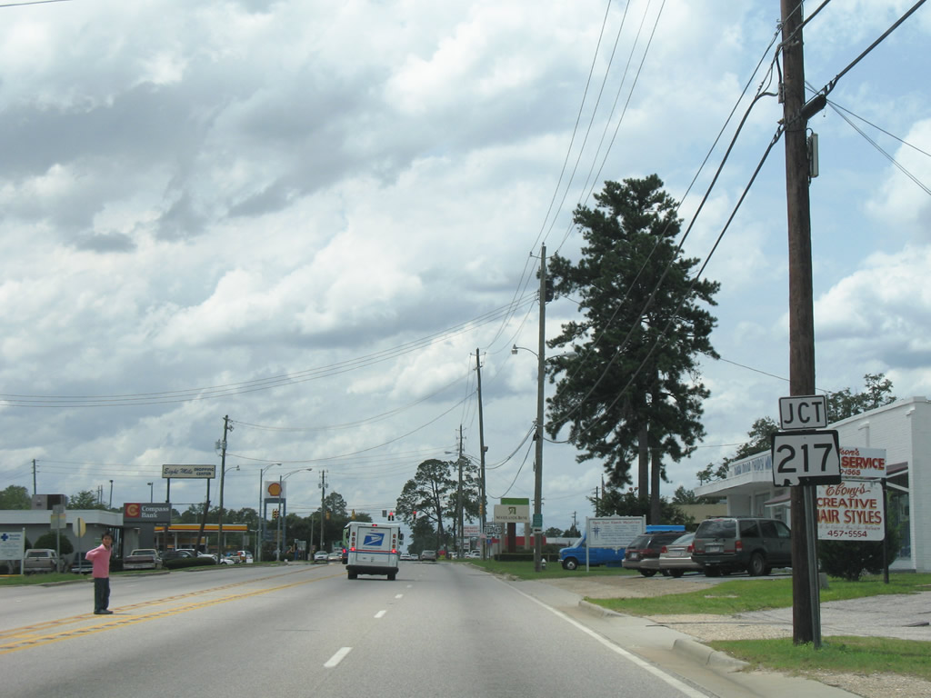
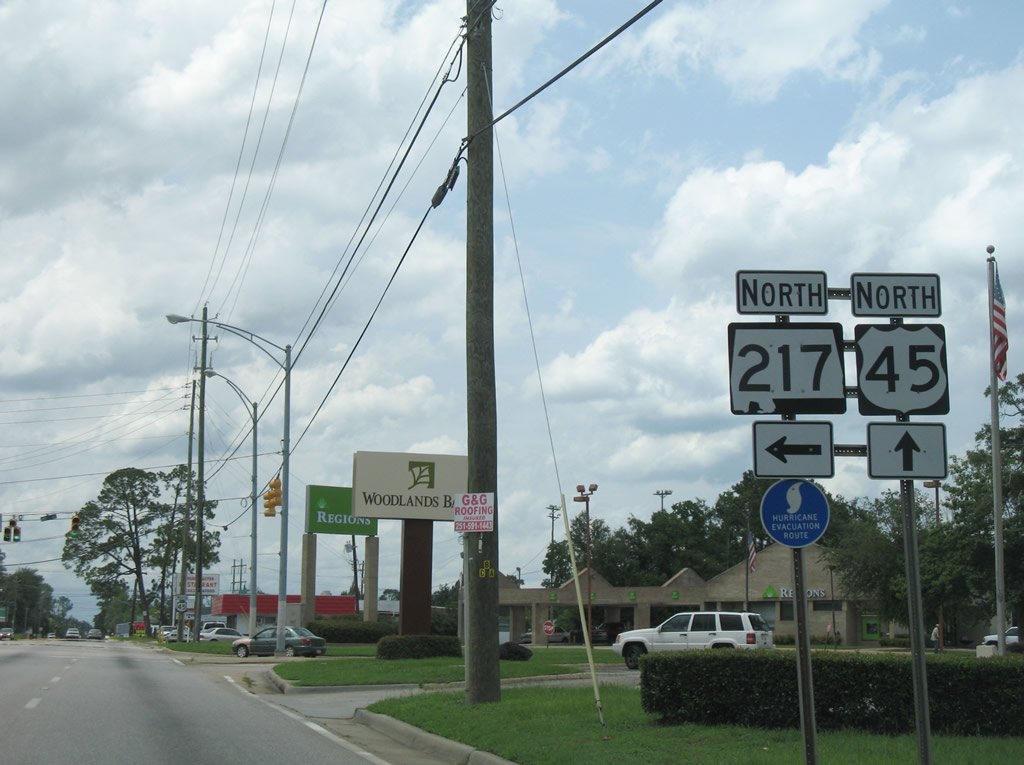
| The south end of SR 217 (Lott Road) is located 0.18 miles beyond SR 213 (Shelton Beach Road) on U.S. 45. 07/17/07 |
|
| A 26.12 mile long highway, SR 217 (Lott Road) spurs west from Eight Mile through the rural communities of Millertown and Lott before turning north to a sparsely populated area of Mobile County southwest of Citronelle. Originally Lott Road was designated as part of CR 31. 07/17/07 |
|
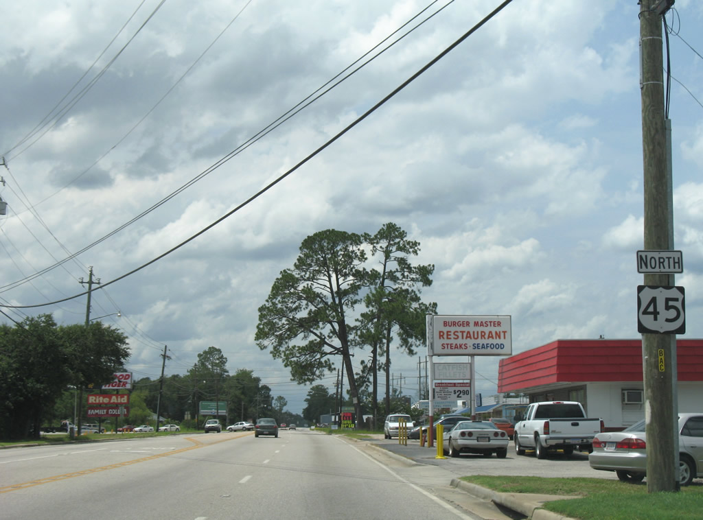
| U.S. 45 (St. Stephens Road) initially narrows into at three lane boulevard beyond SR 217 in Eight Mile and two lanes ahead of Old Citronelle Highway. 07/17/07 |
|
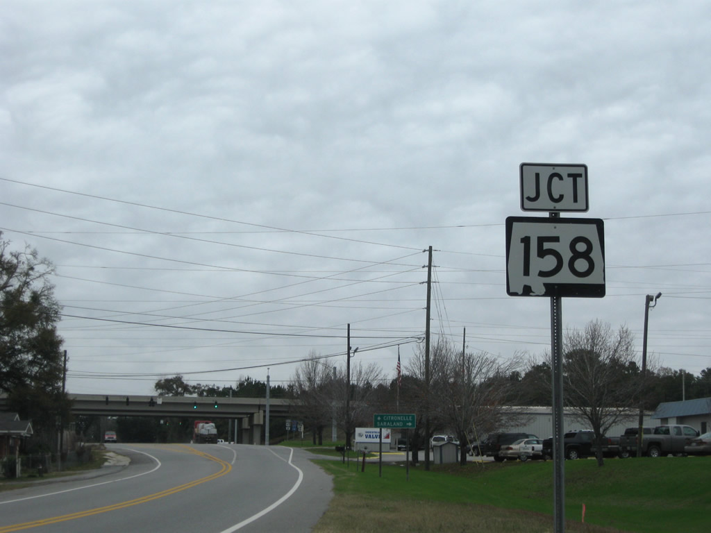
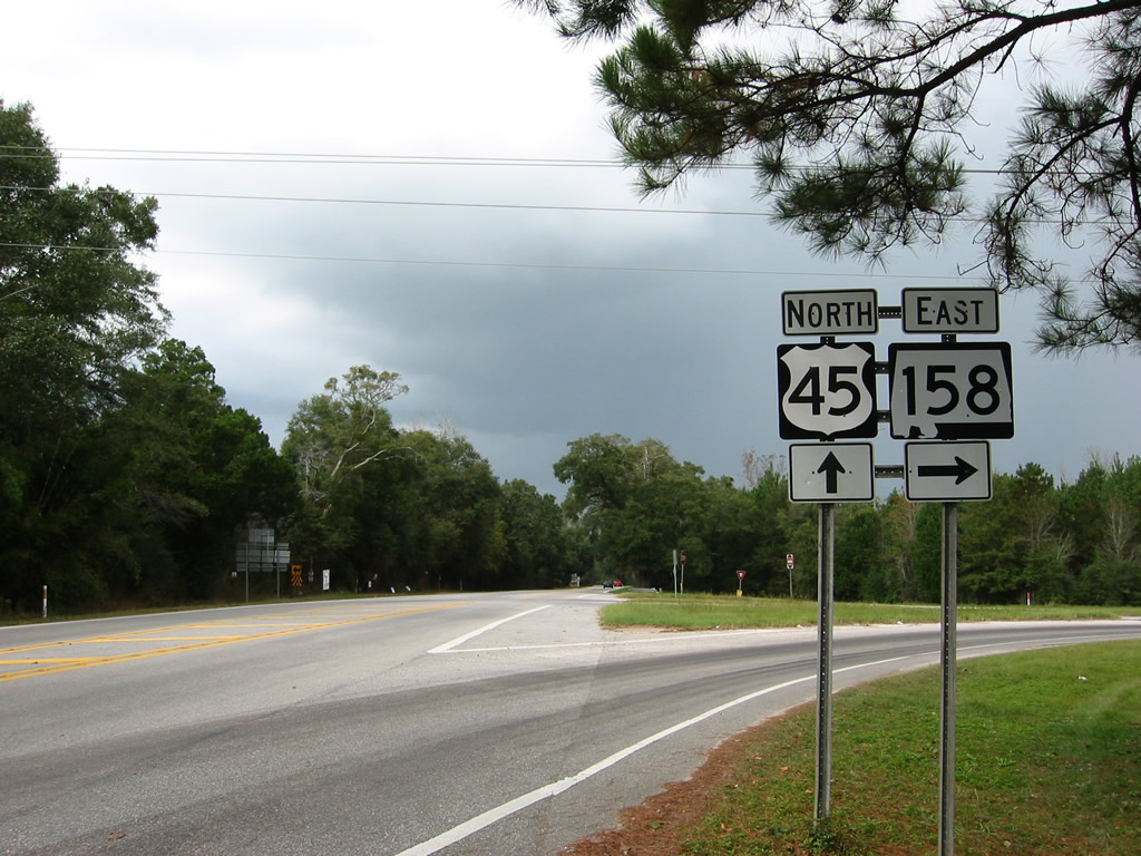
| SR 158 meets U.S. 45 at a diamond interchange in northwest Prichard. Part of the future realignment of U.S. 98, SR 158 is a controlled access arterial west to CR 31 (Schillinger Road) and east to Interstate 65 in Saraland. 12/17/09 |
|
| SR 158 was extended west from U.S. 45 to Schillinger Road in January 2008. The corridor is slated to become part of U.S. 98 once the Semmes and Wilmer Bypasses are completed in 2023. SR 158 east was upgraded from two to four lanes by 2007. 07/16/07 |
|
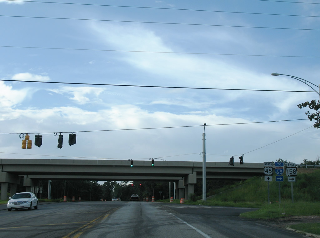
| Passing under SR 158, U.S. 45 reaches the unmarked entrance ramp for the expressway west toward Semmes. 12/17/09 |
|
| The previous west end of SR 158 (Industrial Parkway) from U.S. 45 north. SR 158 follows Karl Malone (Industrial) Parkway east 4.76 miles to SR 213 and U.S. 43 in Saraland. 11/04/03 |
|
| North from SR 158, U.S. 45 parallels Chickasaw Creek to the west through the rural communities of Kushla in Prichard and Mauville in Mobile County. 12/17/09 |
|
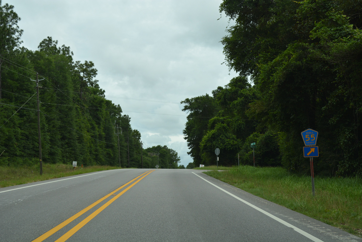
| U.S. 45 northwest between CR 78 (Spice Pond Road) west and CR 55 (Kali-Oka Road) south at Mauvilla. 06/06/17 |
|
| CR 55 angles northeast to Oak Grove before turning back southeast to northern reaches of Saraland. Kali-Oka Road eventually meets SR 158 near the University of Mobile campus in north Prichard. 06/06/17 |
|
| U.S. 45 becomes more rural leading toward Smithtown across Williams Creek. 06/06/17 |
|
| U.S. 45 (St. Stephens Road) north at Silver Creek. 06/06/17 |
|
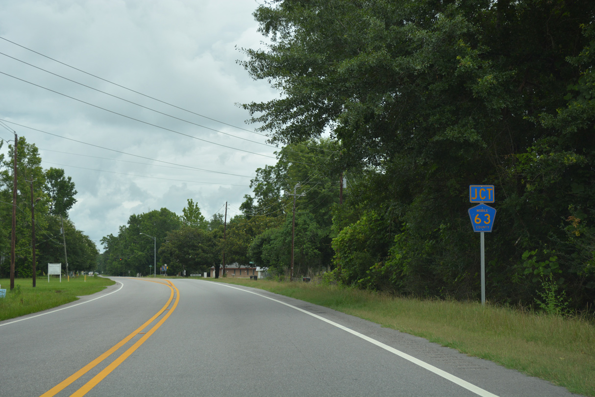
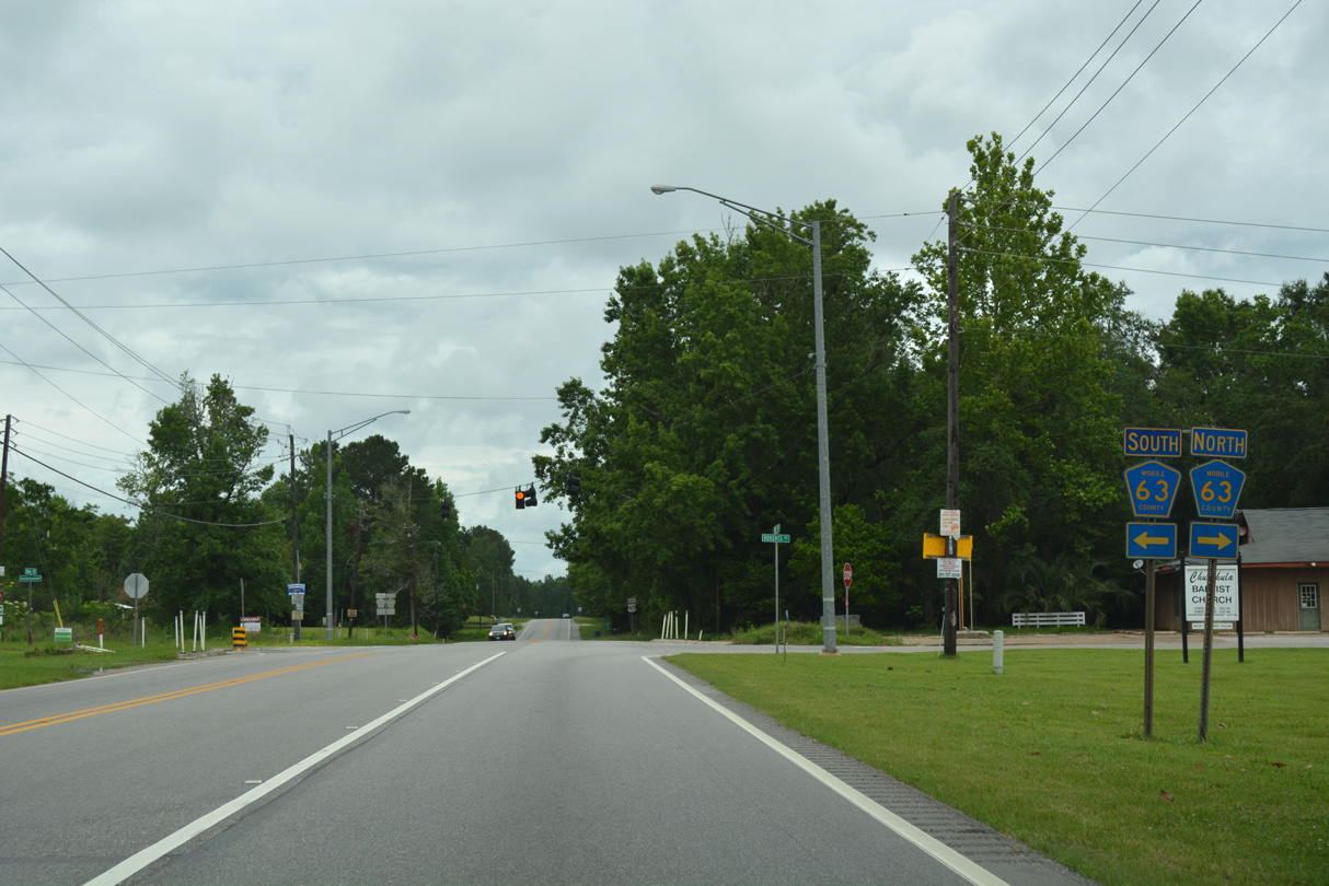
| The two lane road expands with passing lanes in both directions between CR 55 and CR 63 at Chunchula. 06/01/10 |
|
| CR 63 runs 7.3 miles northeast from U.S. 45 along Roberts Road to CR 41 (Celeste Road) at Turnerville. 06/06/17 |
|
| West from Chunchula, CR 63 (Chunchula Georgetown Road) continues 5.0 miles to SR 217 (Lott Road) at Georgetown. 06/06/17 |
|
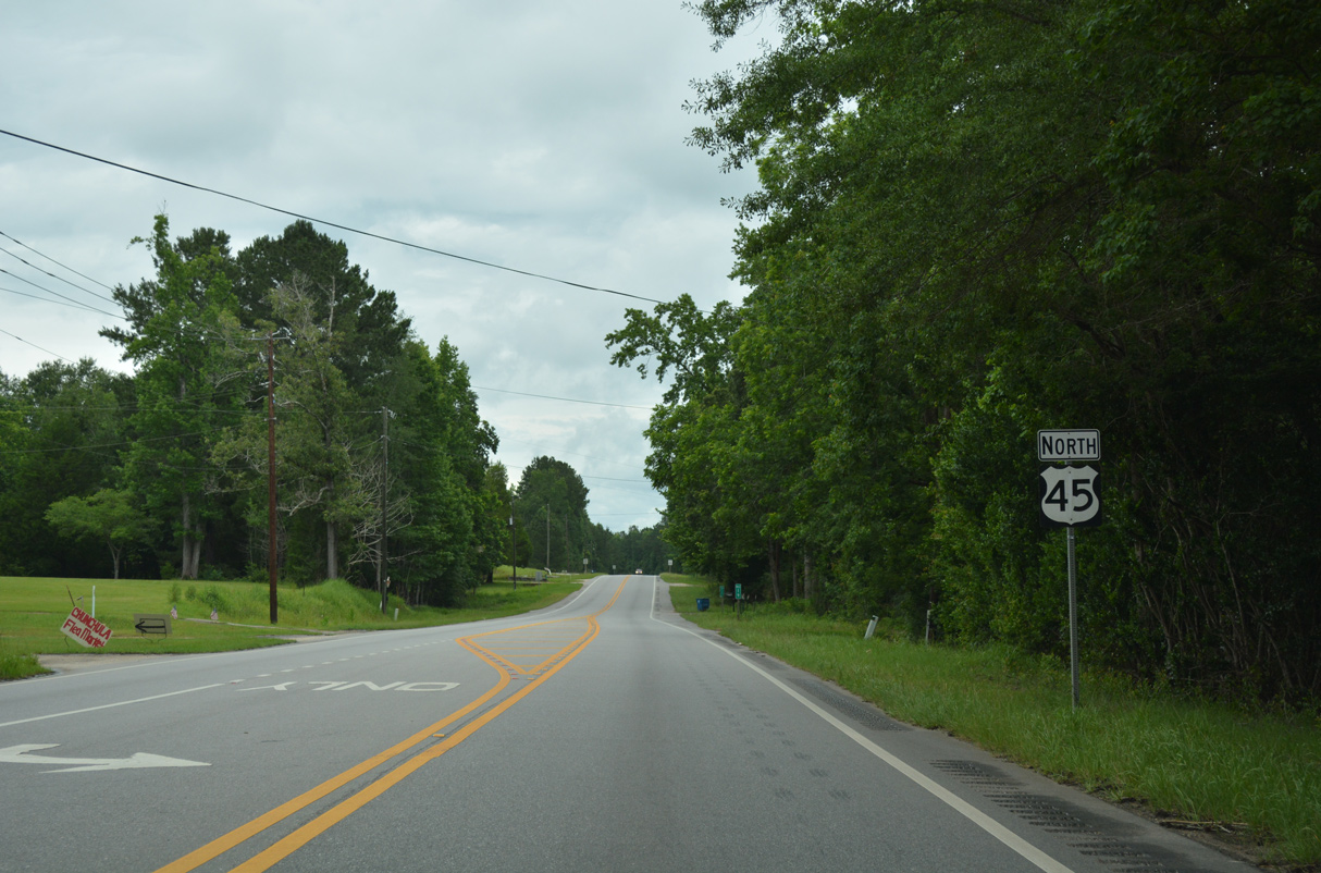
| U.S. 45 parallels Chickasaw Creek and a former Illinois Central Gulf railroad line north from Chunchula. 06/06/17 |
|
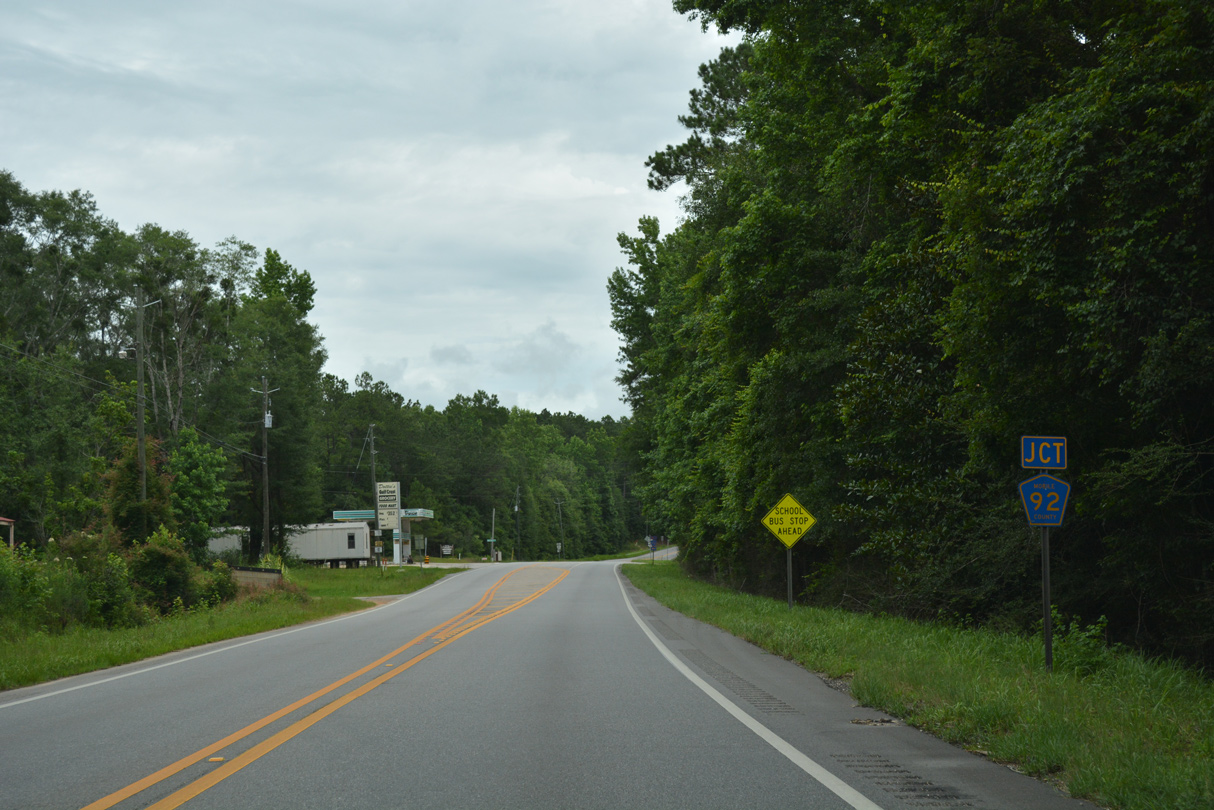
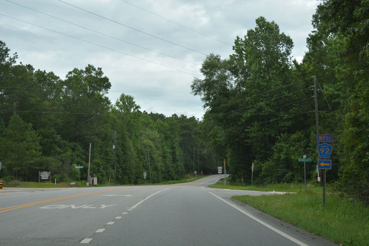
| CR 92 (Gulfcrest Road) ends at U.S. 45 across from Old Gulfcrest Road at Gulf Crest. 06/06/17 |
|
| Northward U.S. 45 climbs from 148 feet above sea level at Gulf Crest to 300 feet in elevation at Citronelle. 06/06/17 |
|
| Gulfcrest Road west connects U.S. 45 with SR 217 (Lott Road) at Boothtown Road in 5.5 miles. 06/06/17 |
10/31/03, 11/04/03, 11/12/03, 06/01/04, 07/16/07, 07/17/07, 01/25/09, 12/17/09, 04/30/10, 06/01/10, 05/15/16, 06/06/17 by AARoads
Page Updated 08-09-2022.


 North
North