|
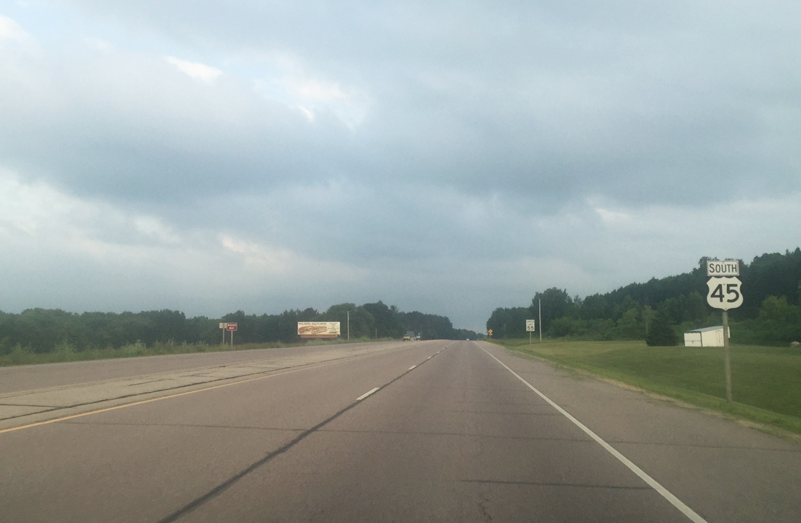
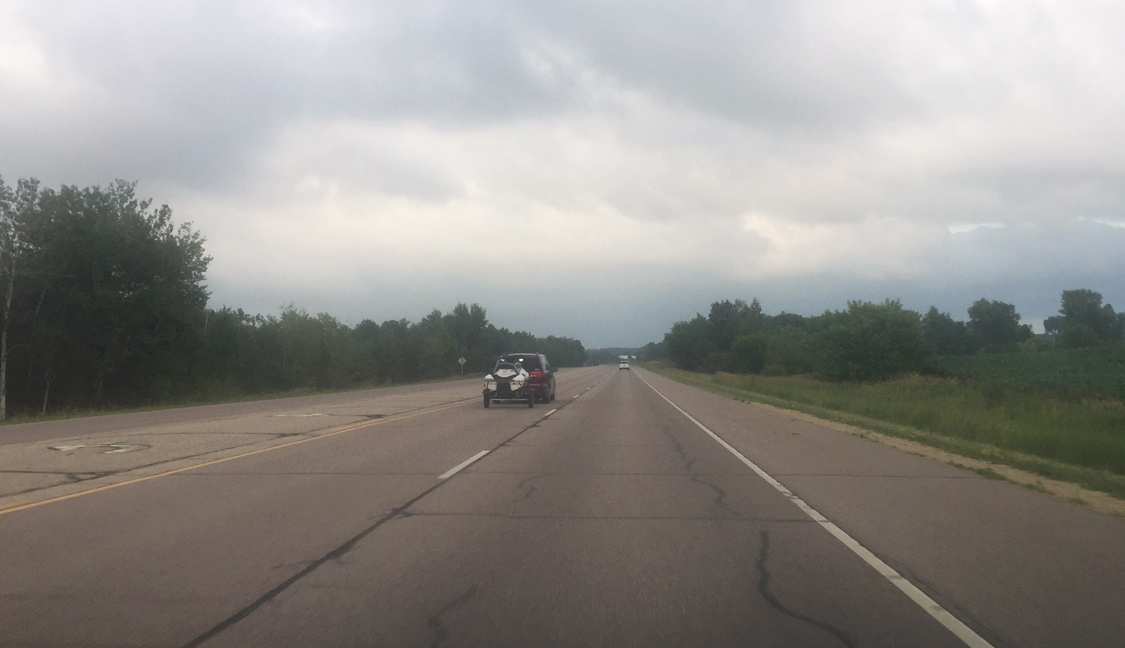
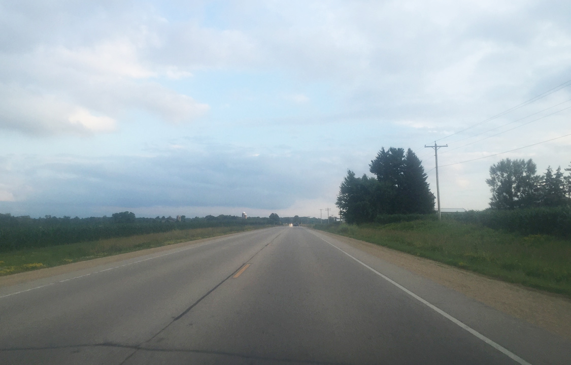
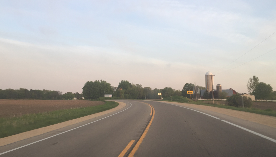
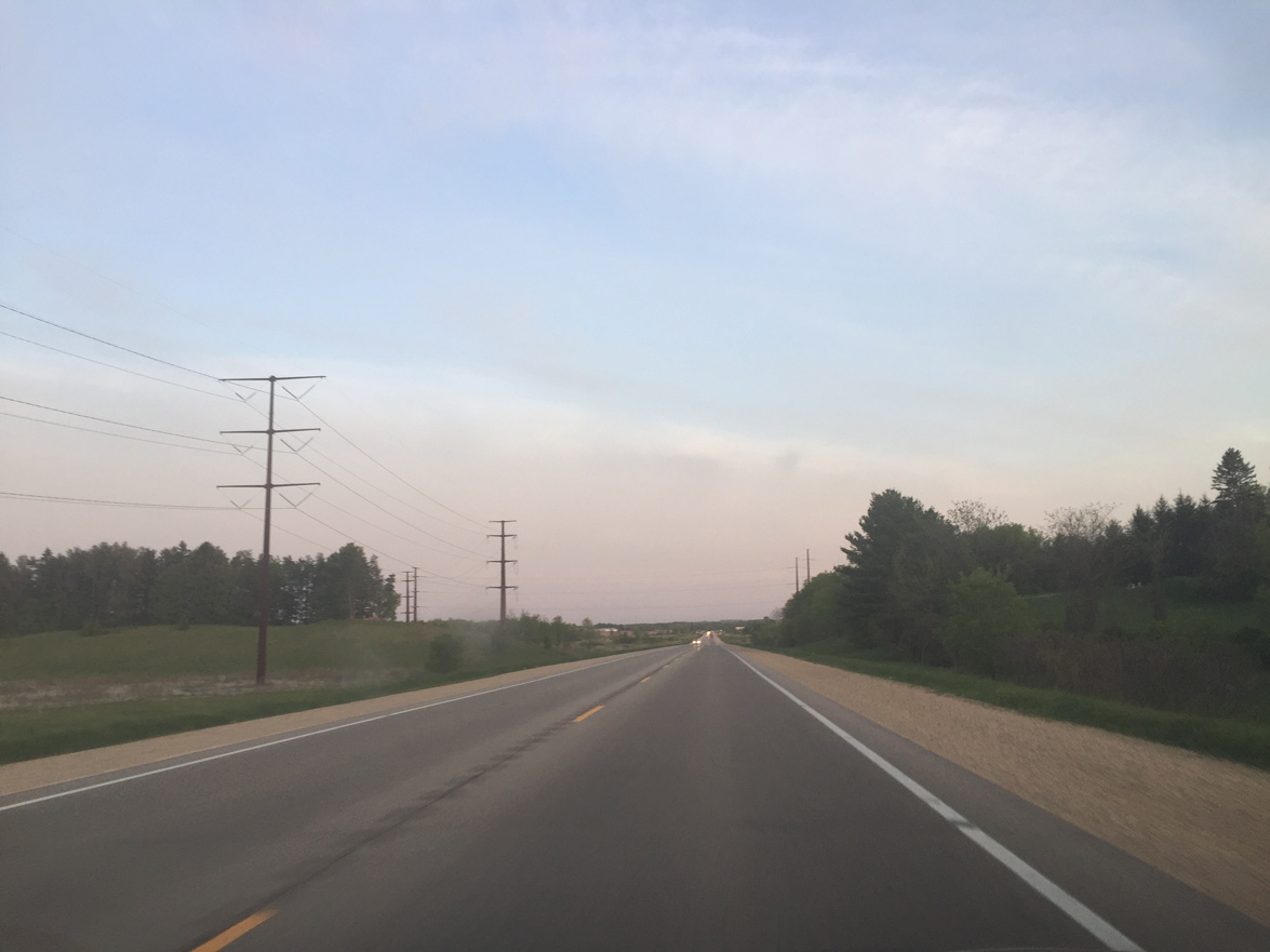
| U.S. 45 leaves the Marion area beyond Waupaca County S (Ramsdell Street). The highway continues as a five lane undivided rural arterial to Clintonville. When U.S. 45 was widened the southbound lanes were built within an abandoned Chicago and Northwestern railroad right-of-way. 07/07/16 |
|
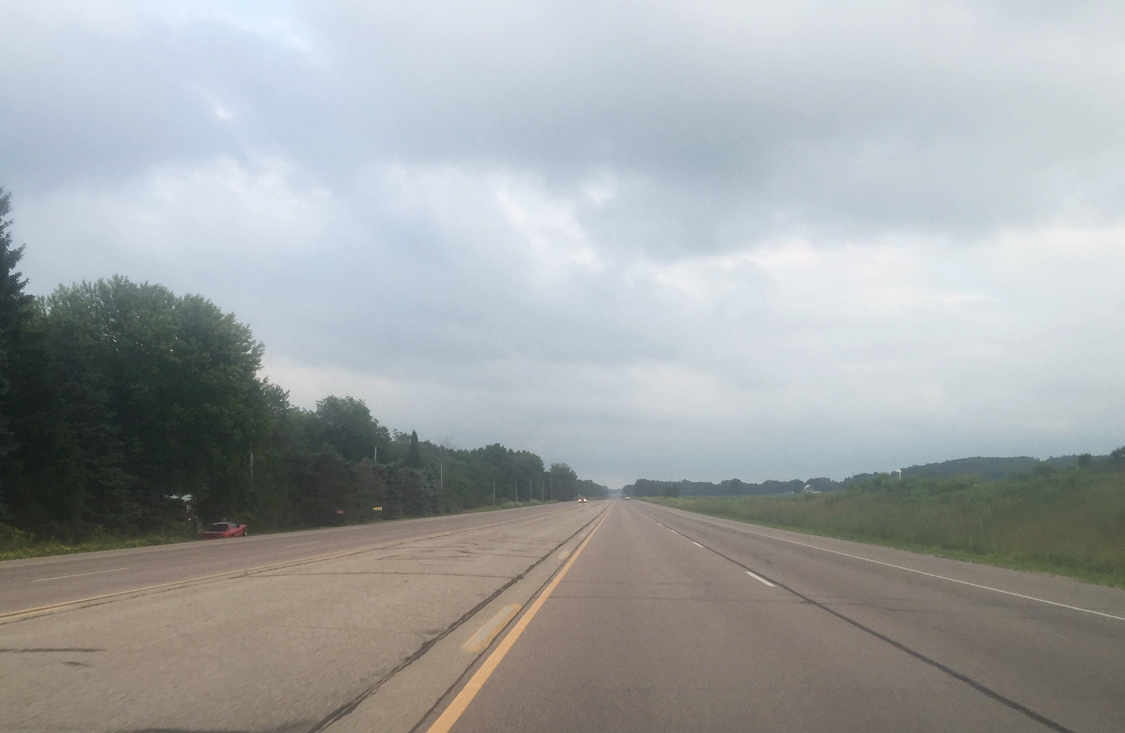
| Drivers continue southeast along U.S. 45 toward Clintonville. U.S. 45 maintains a 55 mph speed limit along this stretch. 07/07/16 |
|
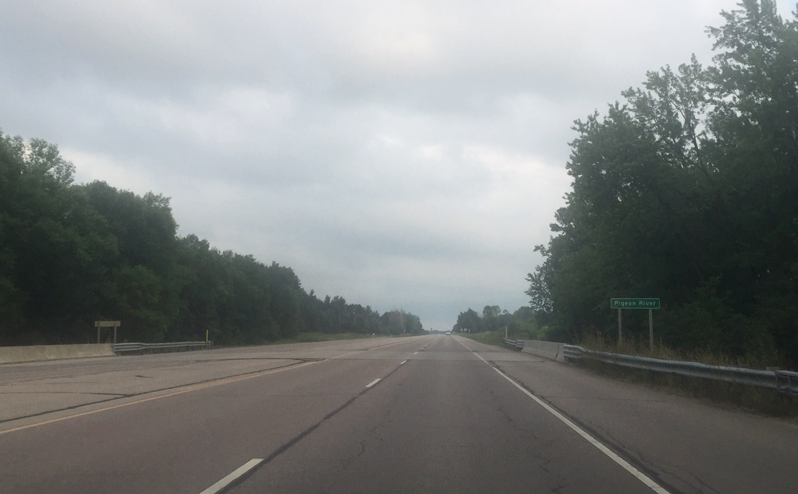
| U.S. 45 spans the south branch of the Pigeon River beyond Knitt Road. 07/07/16 |
|
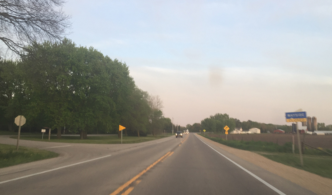
| Lakeshore Road represents the former alignment of U.S. 45 into Clintonville. A partial bypass was built on the abandoned railroad alignment by 1990 to carry U.S. 45 south of the city center. 07/07/16 |
|
| U.S. 45 generally parallels Lakeshore Road and Pigeon Lake en route to south Clintonville and its merge with Wis 22. 07/07/16 |
|
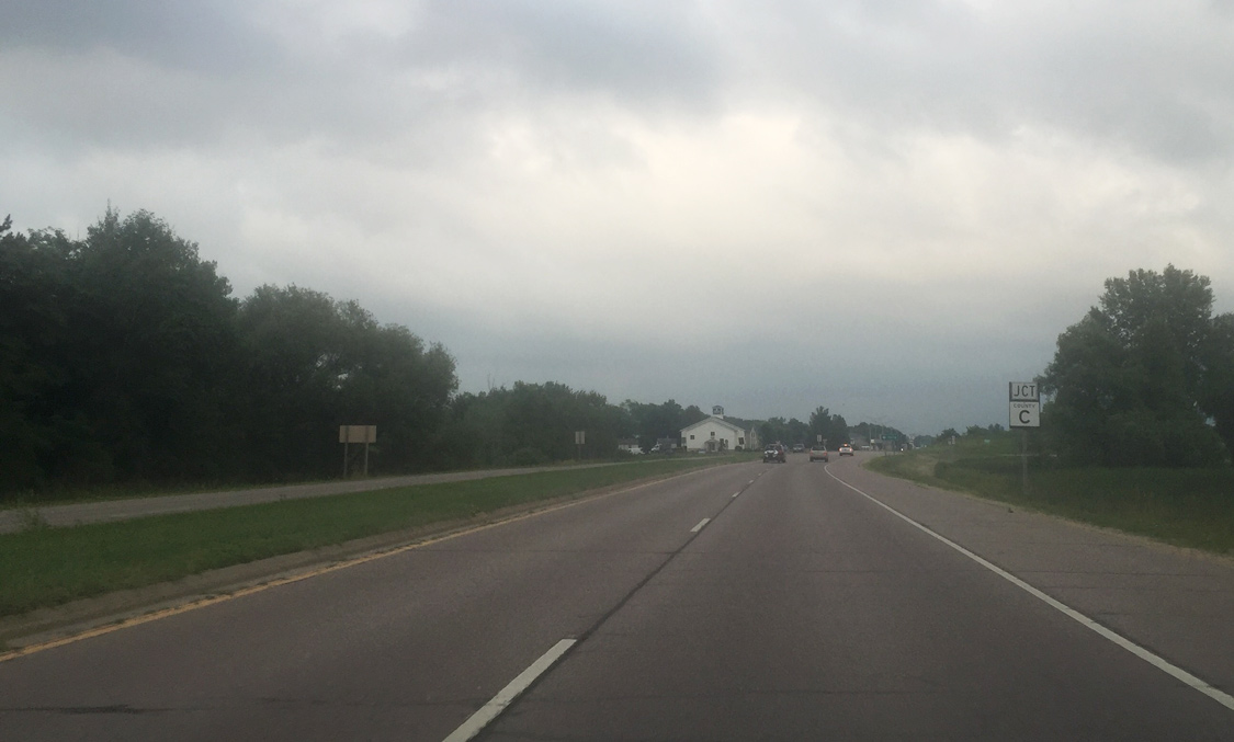
| A divided median returns along U.S. 45 south near Waupaca County C on the final approach to Clintonville. 07/07/16 |
|
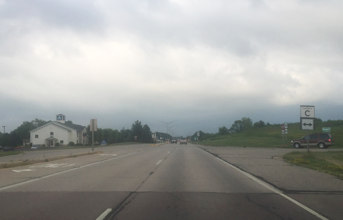
| County C east follows Waupaca Street into the center of Clintonville, while to the west, the county trunk highway stretches across the width of Waupaca County to an end at Wis 49. En route, CTH-C passes through Big Falls, the smallest village in Wisconsin, with a population of 61. 07/07/16 |
|
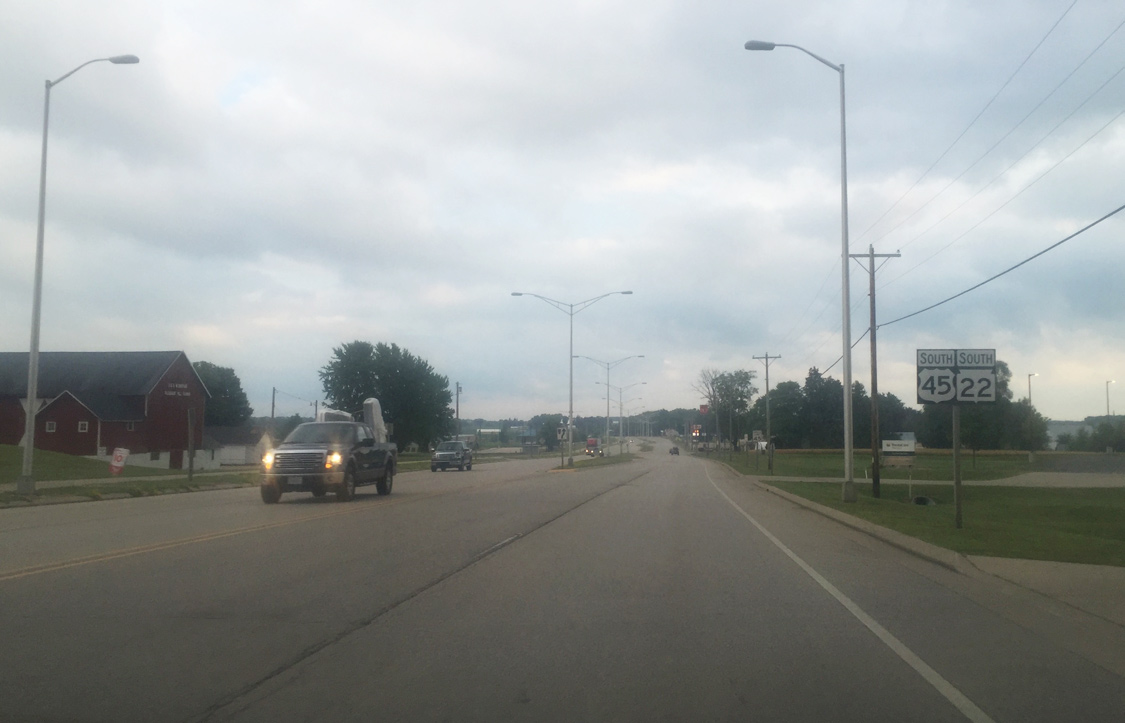
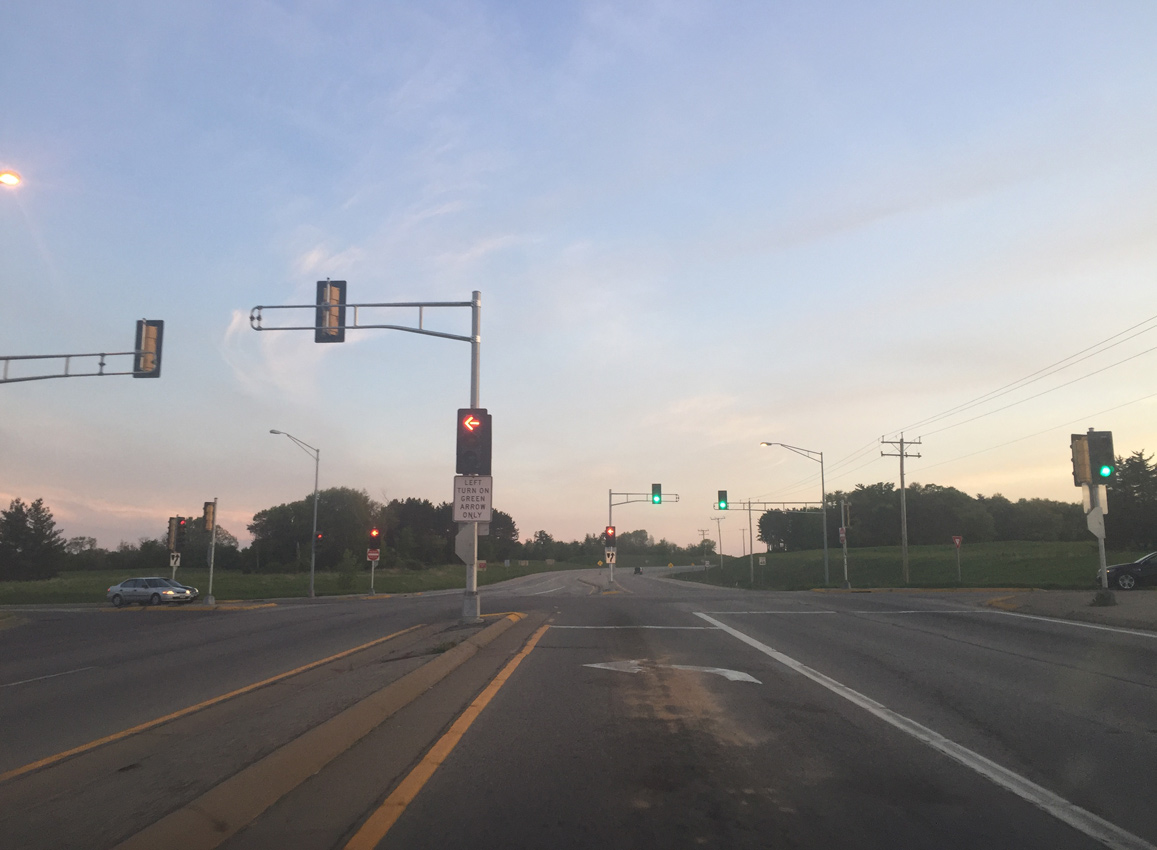
| U.S. 45 formally enters Clintonville beyond the intersection with County C (Waupaca Street). The U.S. highway follows Madison Street a short distance to Wis 22 before turning south with the trunk highway. In March 2012, a rare micro-sized earthquake event occurred, rattling the city with a series of microquakes with a maximum magnitude of 1.5.1 07/07/16 |
|
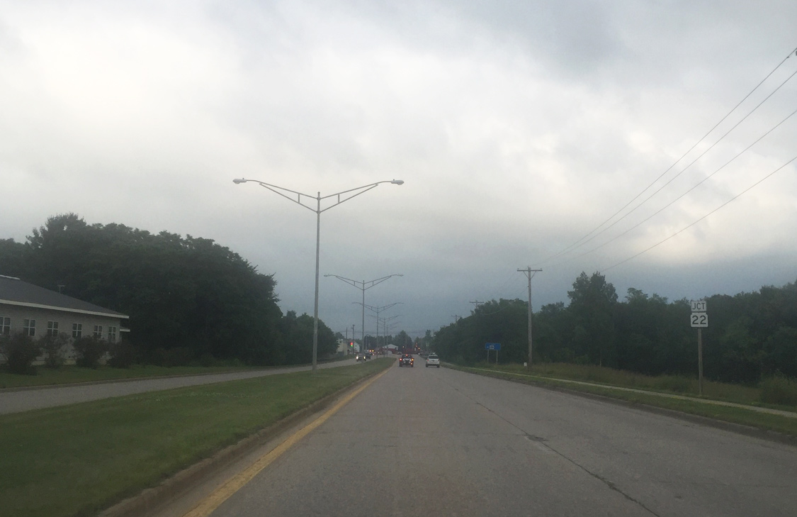
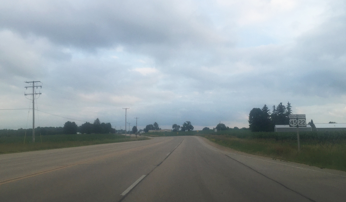
| Beyond West Street, U.S. 45 (Madison Street) south approaches Wis 22. The state trunk highway totals 172.1 miles through the Beaver state, connecting U.S. 45 and Clintonville with Shawano, Oconto Falls and Oconto to the north and with Waupaca, Wautoma and Montello to the south. 07/07/16 |
|
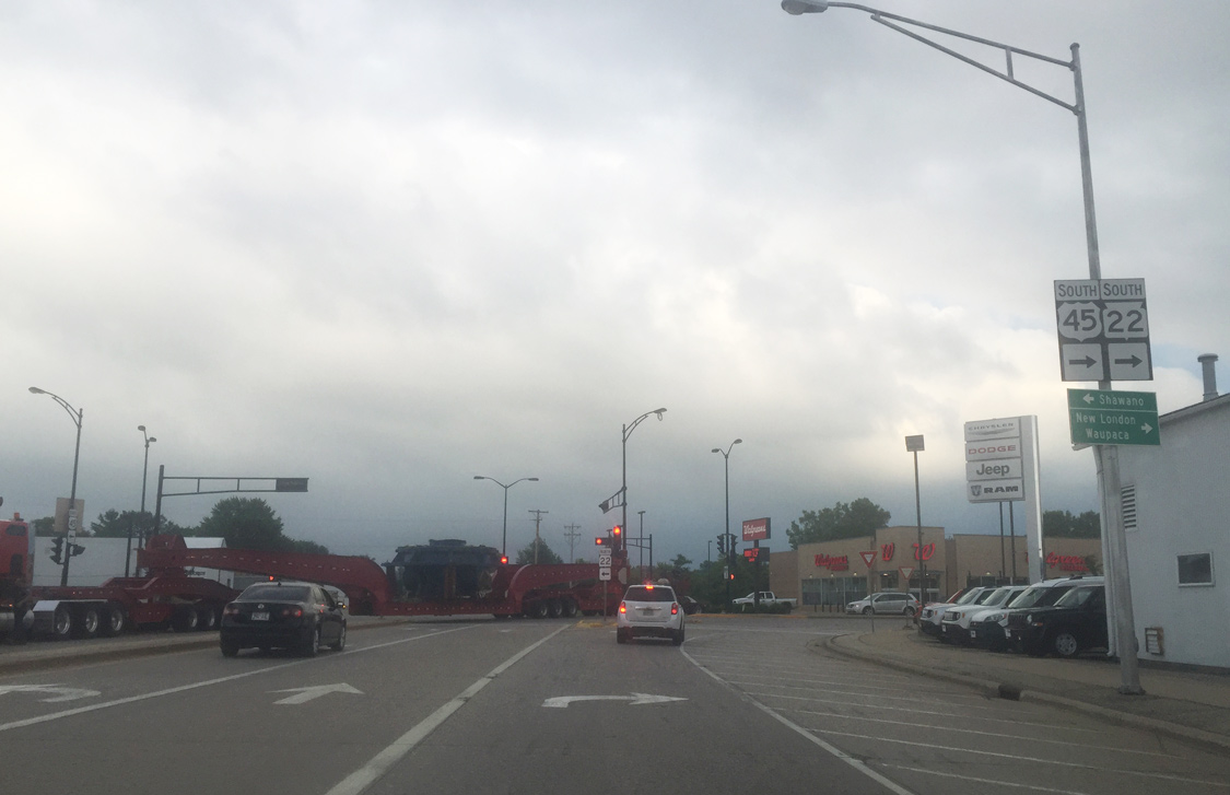
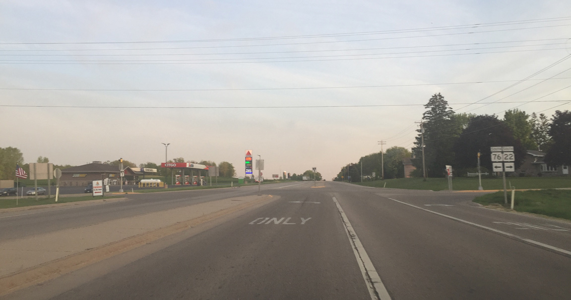
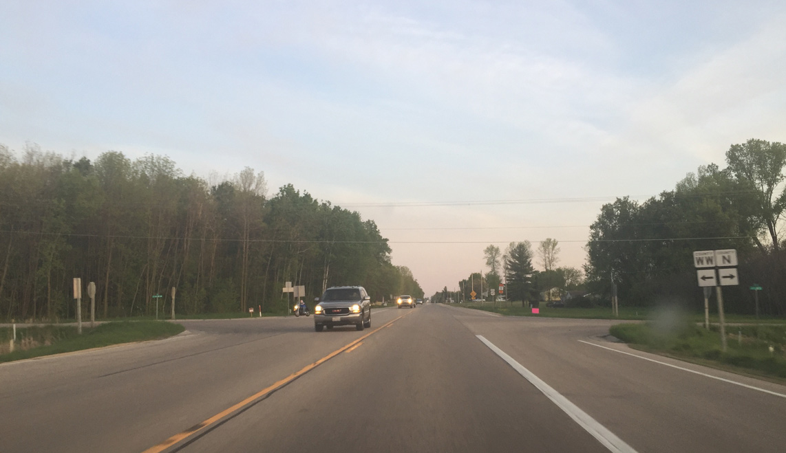
| While Wis 22 north follows Main Street through the heart of Clintonville toward Shawano, U.S. 45 turns along Wis 22 south toward New London. The two highways will split in five miles at Wis 76 to Bear Creek. The abandonded railroad right-of-way continues along Madison Street curving southeast as it exits the city. 07/07/16 |
|
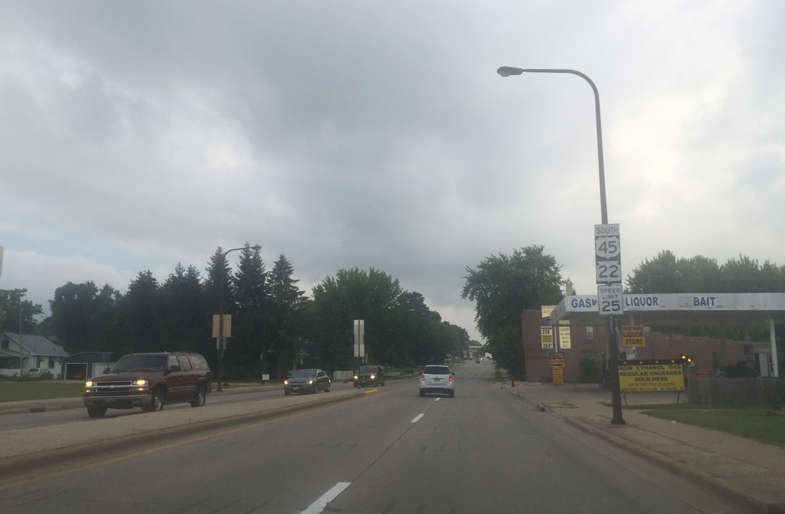
| U.S. 45 and Wis 22 south maintain a 25 mph speed limit along Main Street to 1st Avenue. 07/07/16 |
|
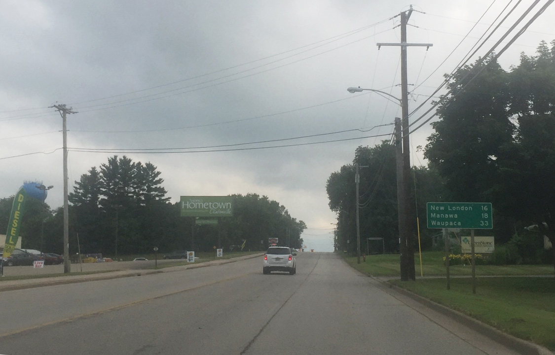
| New London is 16 miles to the south along U.S. 45 while both Manawa (18 miles) and Waupaca (33 miles) lie along the Wis 22 corridor. 07/07/16 |
|
| CTH-I stems east from U.S. 45/STH-22 into rural Waupaca County. 07/07/16 |
|
| South of County I, Main Street briefly widens to a divided highway to Reinke Road. 07/07/16 |
|
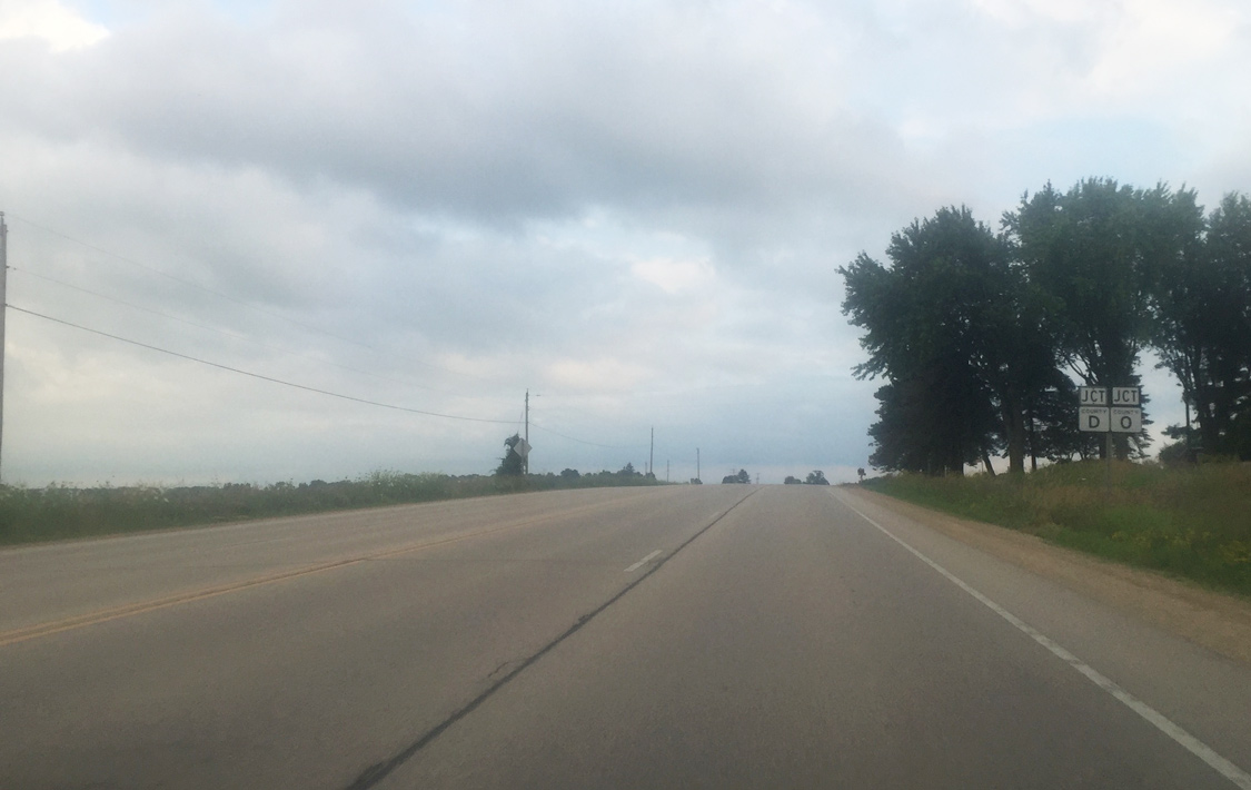
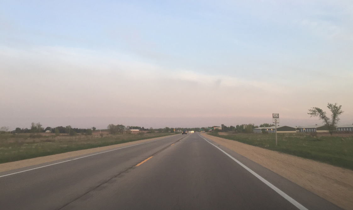
| South of Clintonville city limits and Reinke Road, U.S. 45 and Wis 22 continues as an undivided rural highway and will meet County D and O at the next intersection. CTH-D heads east 2.3 miles before turning south for Wis 76 and Bear Creek. CTH-O otherwise stair-steps west and south for a return to Wis 22 northeast of Symco. 07/07/16 |
|
| U.S. 45/STH-22 angle southeast beyond the intersection with Waupaca County D/O. 07/07/16 |
|
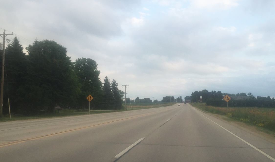
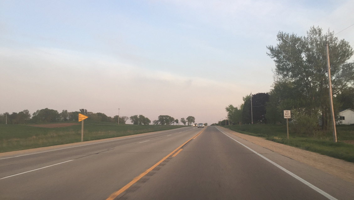
| The four lane undivided section reduces south of Willow Road. 07/07/16 |
|
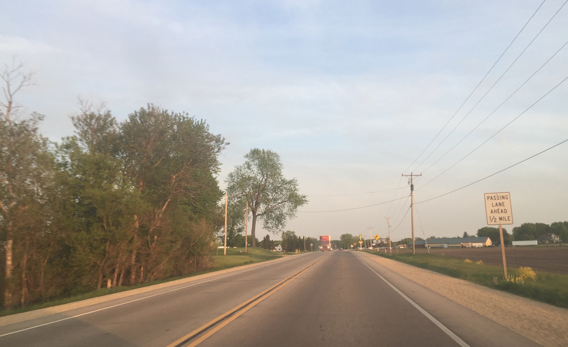
| U.S. 45 maintains two overall lanes with the occasional passing lane from this point to New London. 07/07/16 |
|
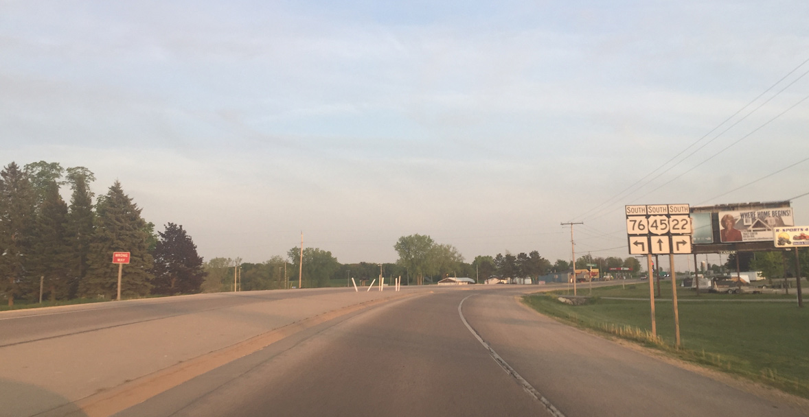
| U.S. 45/Wis 22 kink southeast along a ridge west of Bear Creek ahead of their split at Wis 76. Motorists continuing south along U.S. 45 gain a passing lane in one half mile. 05/20/16 |
|
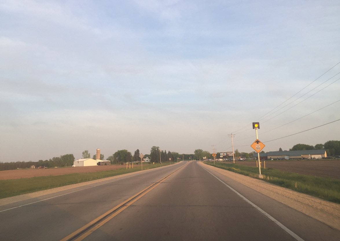
| Speed limits reduces to 50 miles per hour on U.S. 45 south for the impending intersection with Wis 76 and split with Wis 22 south. 05/20/16 |
|
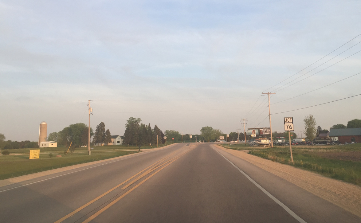
| Wis 76 begins a 43.4 mile long course to U.S. 45 at Oshkosh ahead. Wis 76 took over the pre-2003 alignment of U.S. 45 between Greenville and Oshkosh.
U.S. 45 provides the more direct route south, while Wis 76 serves more local traffic between Bear Creek and Oshkosh. 05/20/16 |
|
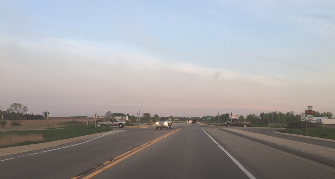
| Wis 22 splits from U.S. 45 ahead to run west to Symco, south with Wis 110 to Manawa and west along Wis 54 towards Waupaca. 05/20/16 |
|
| Turn lanes were added to ease congestion of turning vehicles and improve safety at the junction of U.S. 45, STH-22 and STH-76. 05/20/16 |
|
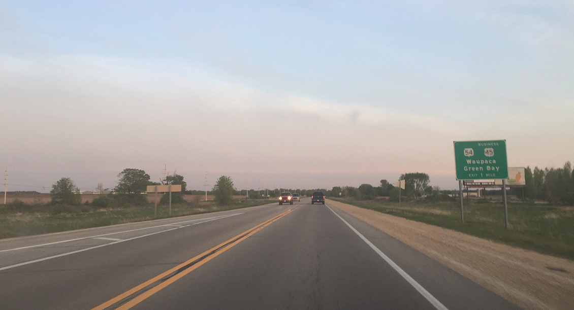
| Motorists pass by this confirming marker for U.S. 45 as the route travels solo south toward New London. 05/20/16 |
|
| The beginning of the southbound passing lane along U.S. 45 beyond Wis 22 and 76. 05/20/16 |
|
| Farmland spreads east and west as the passing lane section takes U.S. 45 across Blueberry Road. 05/20/16 |
|
| U.S. 45 shifts a quarter mile closer to the parallel Outagamie County line at Davis Road. The curve sees a 50 mph advisory. 05/20/16 |
|
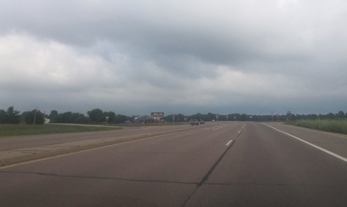
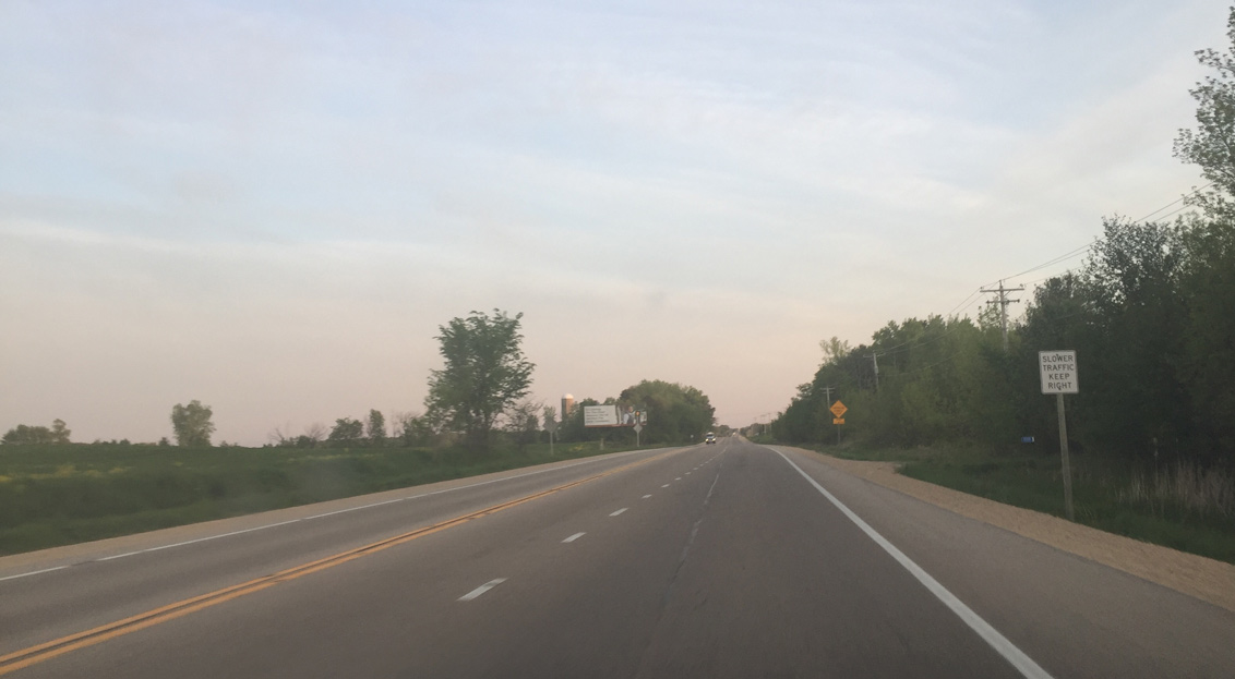
| A closed wayside park is located just south of Davis Road along U.S. 45. Seasonal roadside waysides have been closing in recent years due to budget cuts. They are normally open by May, but may not by then due to unseasonably cold weather. 05/20/16 |
|
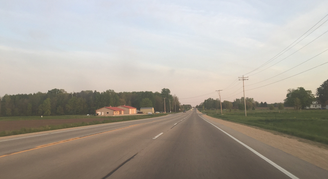
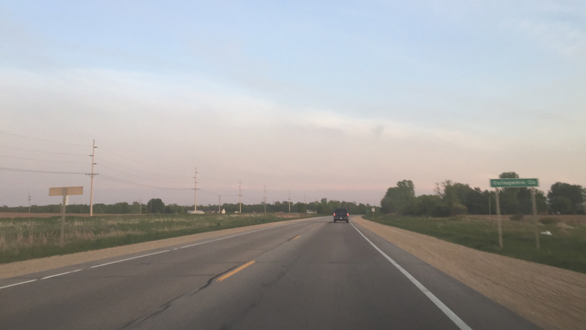
| Waupaca County N follows a stair stepped route east from the village of Manawa to Fitzgerald Corner and U.S. 45 opposite CTH-WW. County WW links the US route with nearby Sugar Bush and County D. An eastern branch of the route connects CTH-D with STH-76 ahead of Shiocton as well. 05/20/16 |
|
| A Michigan style no passing zone/do not pass sign combination appears along the northbound passing lane. The extra sign is placed to provide added emphasis for the no passing zone due to having two oncoming lanes. 05/20/16 |
|
| U.S. 45 trends east from the intersection with Church Road to the New London Bypass. The former alignment (Old Highway 45) remains in place just to the west to serve local traffic. New transmission lines were constructed near U.S. 45 on this stretch as a part of American Transmission Company's Bay Lake Project. 05/20/16 |
|
| U.S. 45 bee lines southward to County D. County D runs south parallel to the Waupaca County line through Bear Creek and the northern outskirts of New London. The trunk highway veers west to intersect U.S. 45 opposite Old Highway 45. 05/20/16 |
|
| County D south overtakes U.S. 45's pre-1994 alignment leading south through New London. Large commercial growth has occurred along County D in New London between this intersection and Wis 54. 05/20/16 |
|
| U.S. 45 upgrades to a controlled access route to the parclo interchange with U.S. 45 Business south & Wis 54 (Fairview Drive) in one mile. U.S. 45 Business was established along Wis 54 west and County D (Shawano Street) south to encourage motorists to use the forthcoming interchange instead of the previous at grade intersection with County D. 05/20/16 |
|
| U.S. 45 south reaches the Outagamie County line just ahead of Spur Road. The US route straddles the border for approximately three quarters of a mile before fully entering the county. 05/20/16 |
|
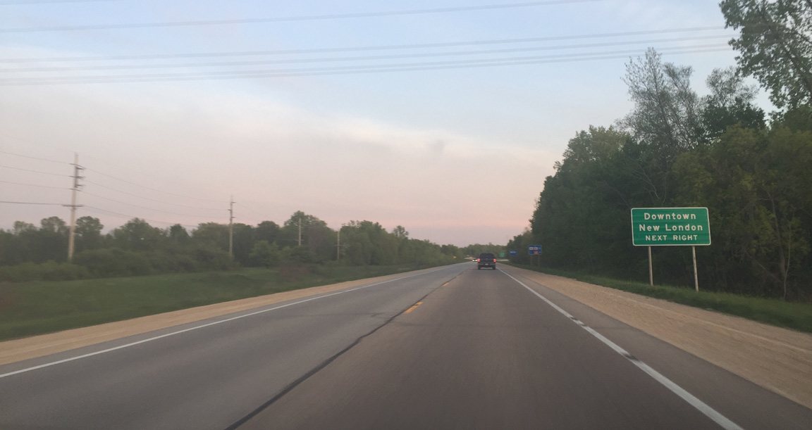
| Downtown New London traffic is encouraged to follow U.S. 45 Business south. The business route is locally maintained along both County D and T through the city. 05/20/16 |
|
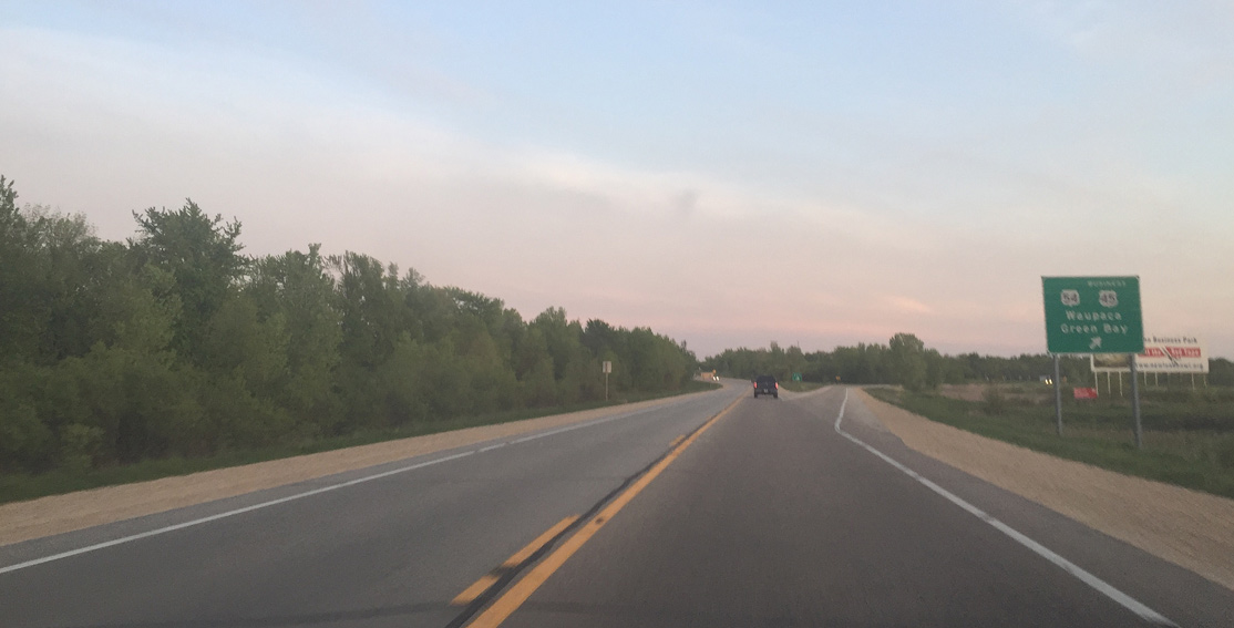
| Traffic departs from U.S. 45 south for Wis 54. A 243 mile cross-state route, Wis 54 travels west to Waupaca, Plover and Wisconsin Rapids and east to Green Bay and Algoma on Lake Michigan. 05/20/16 |
|
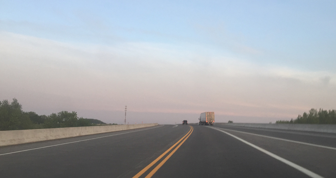
| Crossing both the Embarrass River and Wis 54, U.S. 45 transitions into a Super Two freeway. 05/20/16 |
|
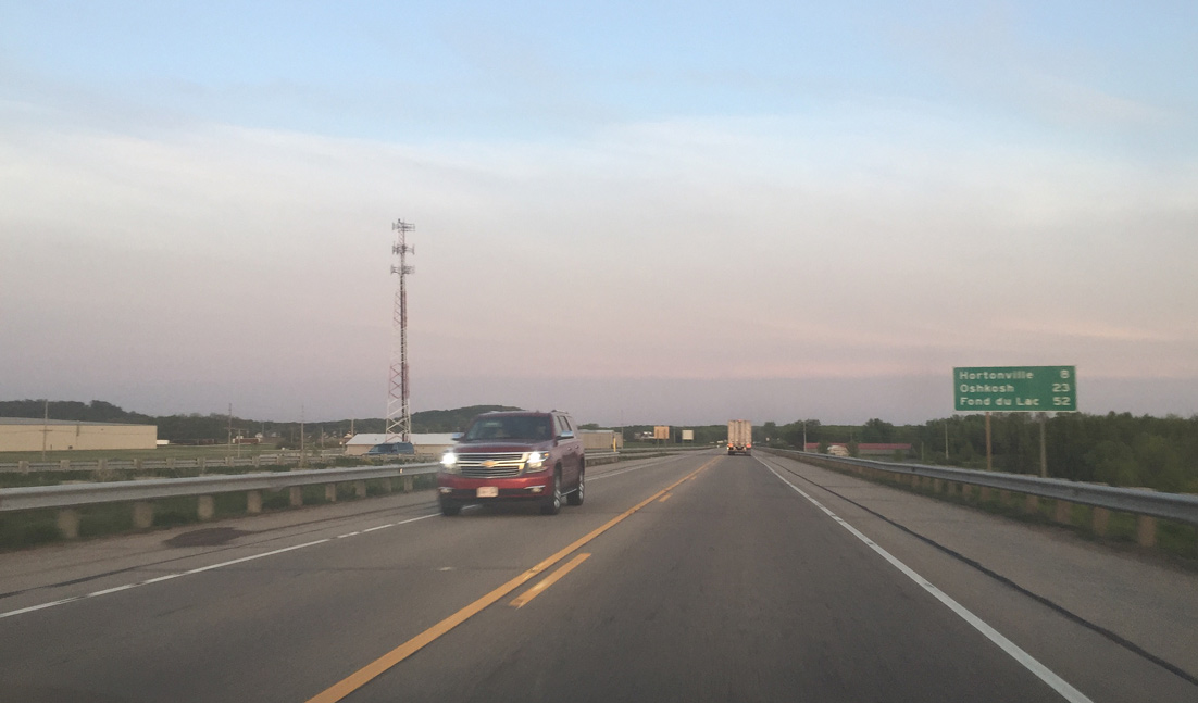
| Hortonville is eight miles away via Wis 15 and Oshkosh is 23 miles ahead along U.S. 45 directly. 05/20/16 |
|
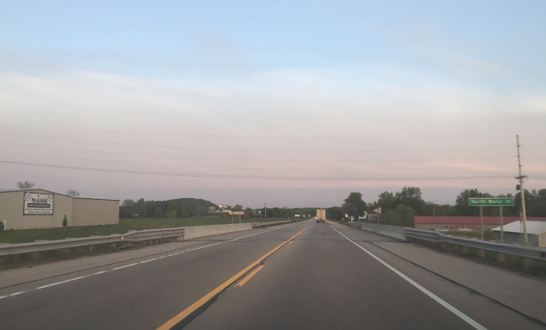
| North Water Street passes under U.S. 45 without direct access between the north New London business district and parallel County S. The street was a part of CTH-S before the New London Bypass was built. 05/20/16 |
|
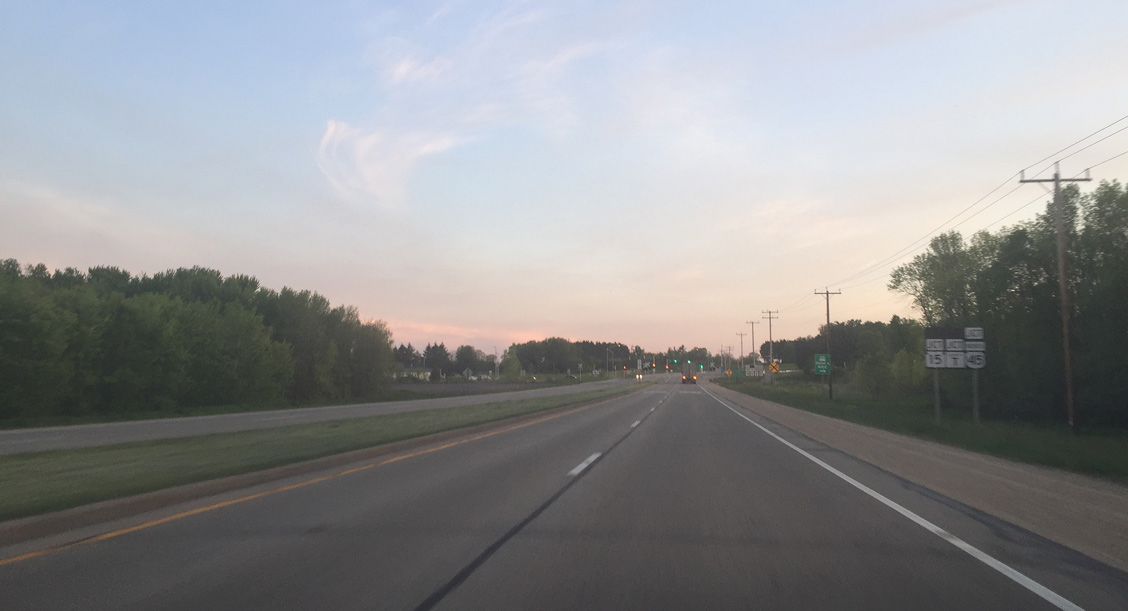
| U.S. 45 briefly divides through the approaching intersection with U.S. 45 Business north, Wis 15 south and County T north. 05/20/16 |
|
| County T is the companion route for U.S. 45 Business along Mill Street and Wolf River Avenue back toward Downtown New London. 05/20/16 |
|
| Wis 15 overlays the pre-2003 alignment of U.S. 45 leading southeast to Hortonville and Greenville. The state trunk highway totals 14.8 miles from New London to Interstate 41 outside Appleton. 05/20/16 |
Page Updated 07-31-2016.


 South
South