|
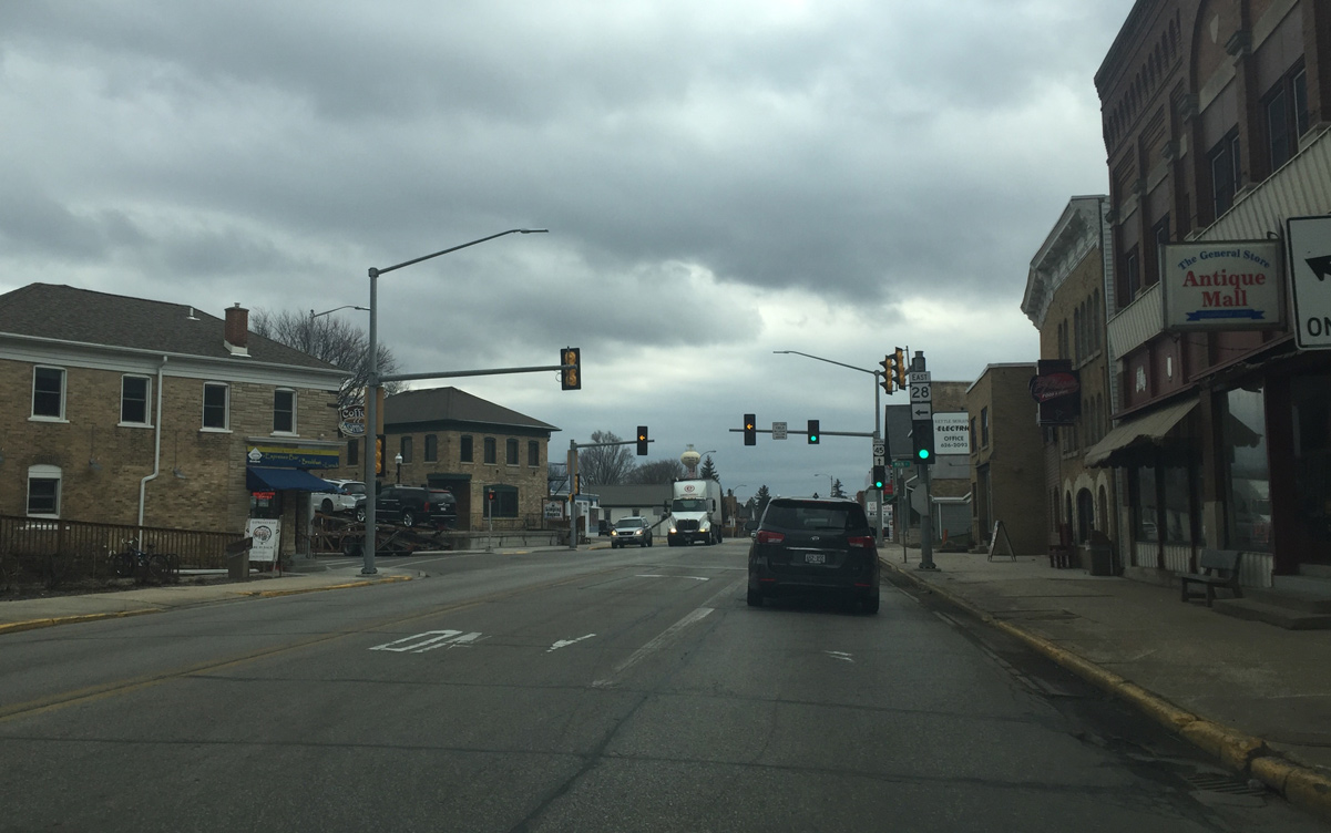
| U.S. 45 south & Wis 28 conclude a 0.6 mile overlap at Downtown Kewaskum. Wis 28 travels another six miles east through St. Michaels to joining Wis 144 north near Boltonville. 02/29/16 |
|
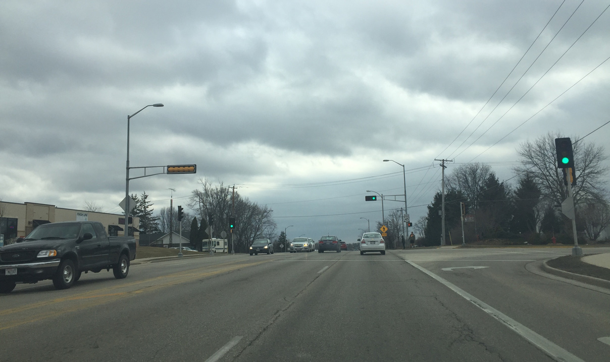
| Washington County H (Mohawk Road) heads west from U.S. 45 (Fond Du Lac Avenue) and the village of Kewaskum to outlying suburban areas and the community of Wayne. 02/29/16 |
|
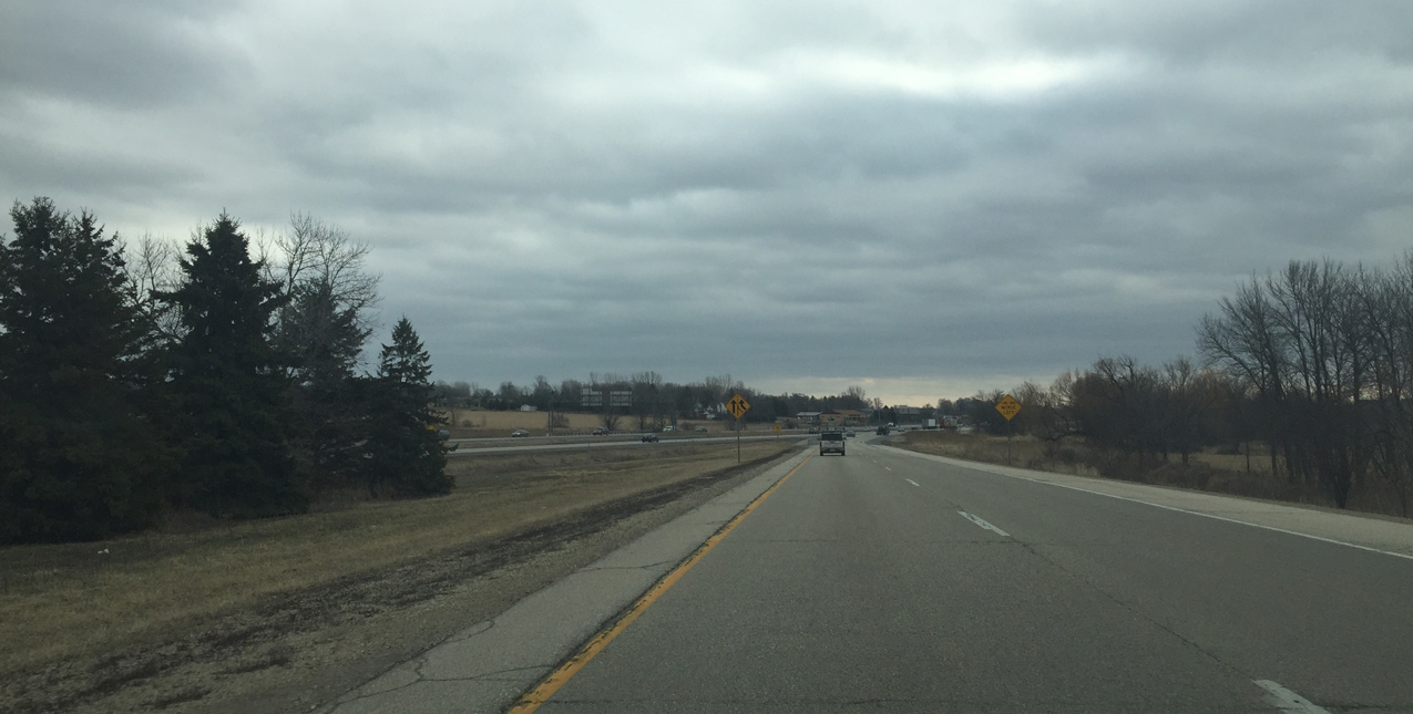
| U.S. 45 expands into a four lane arterial south from County H west. 02/29/16 |
|
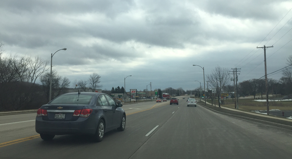
| Further expansion of U.S. 45 occurs south of Prospect Drive as the route widens into a divided highway. 02/29/16 |
|
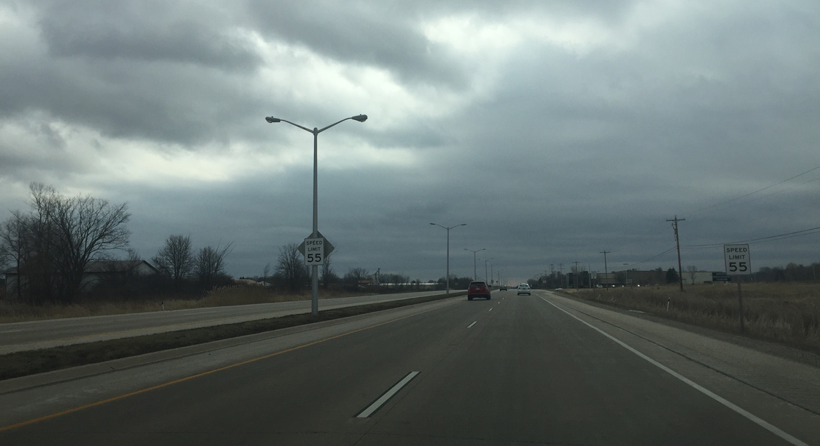
| Speed limits increase as U.S. 45 leaves the village of Kewaskum. 02/29/16 |
|
| The eastern branch of County H traverses areas of nearby Kettle Moraine State Forest from U.S. 45 to STH-144 en route to Fillmore and Waubeka. 02/29/16 |
|
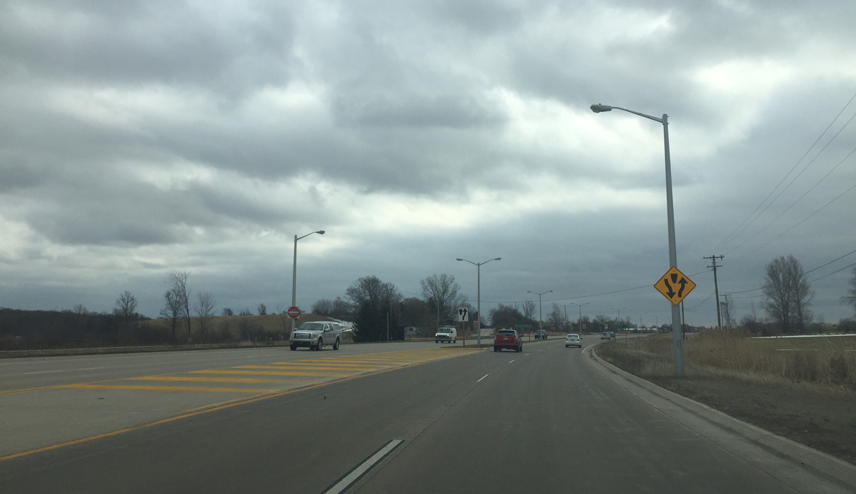
| Street lights disappear as U.S. 45 transitions into a rural area. The Eisenbahn State Trail parallels the east side along an old Chicago and North Western Railroad line to the northern outskirts of West Bend. 02/29/16 |
|
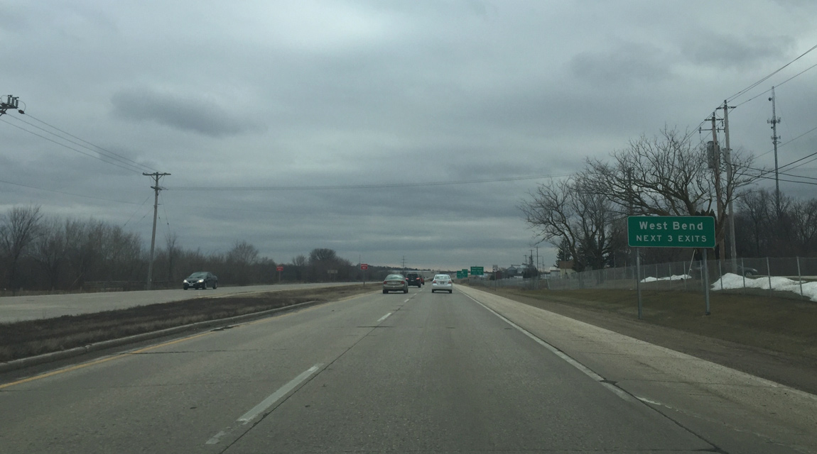
| U.S. 45 upgrades to a freeway south of the intersection with Sandy Ridge Road. Three exits follow through the city of West Bend. 02/29/16 |
|
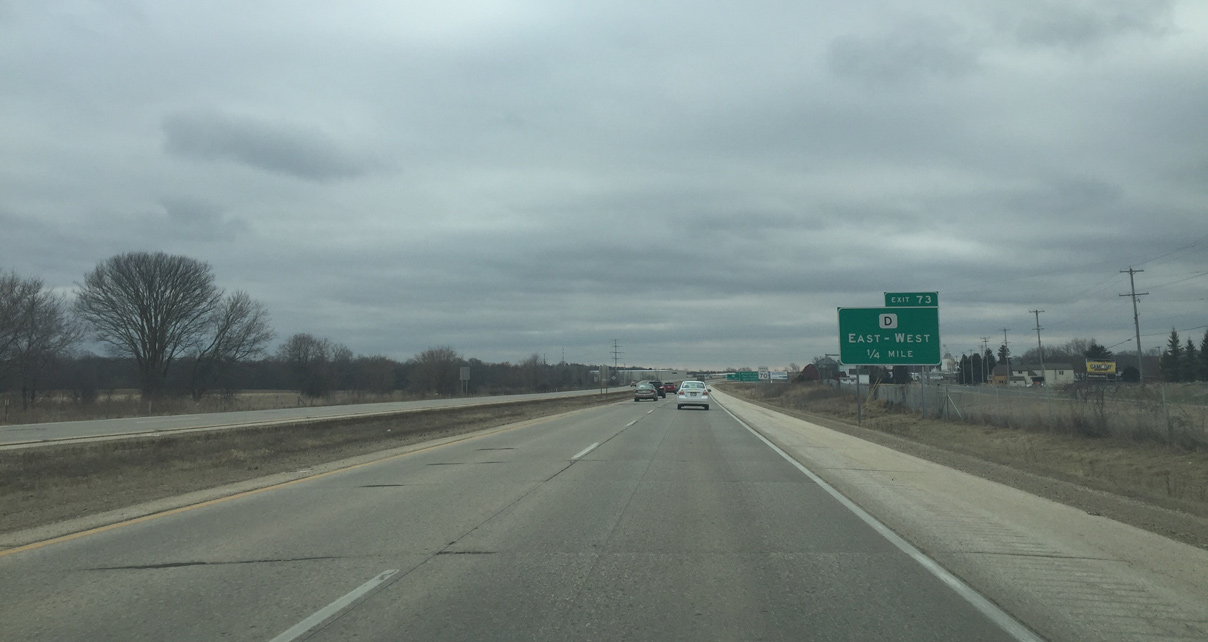
| CTH-D travels east from Kohlville to cross paths with U.S. 45 at Exit 73 in one mile. County D east follows old US 45 (Main Street) into West Bend. 02/29/16 |
|
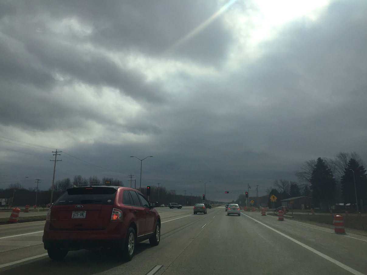
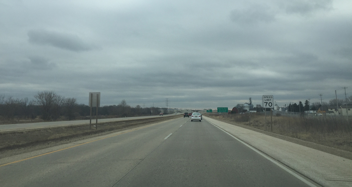
| Speed limits increase to 70 MPH as U.S. 45 becomes a freeway. The freeway leads south to Interstate 41 at Germantown. 02/29/16 |
|
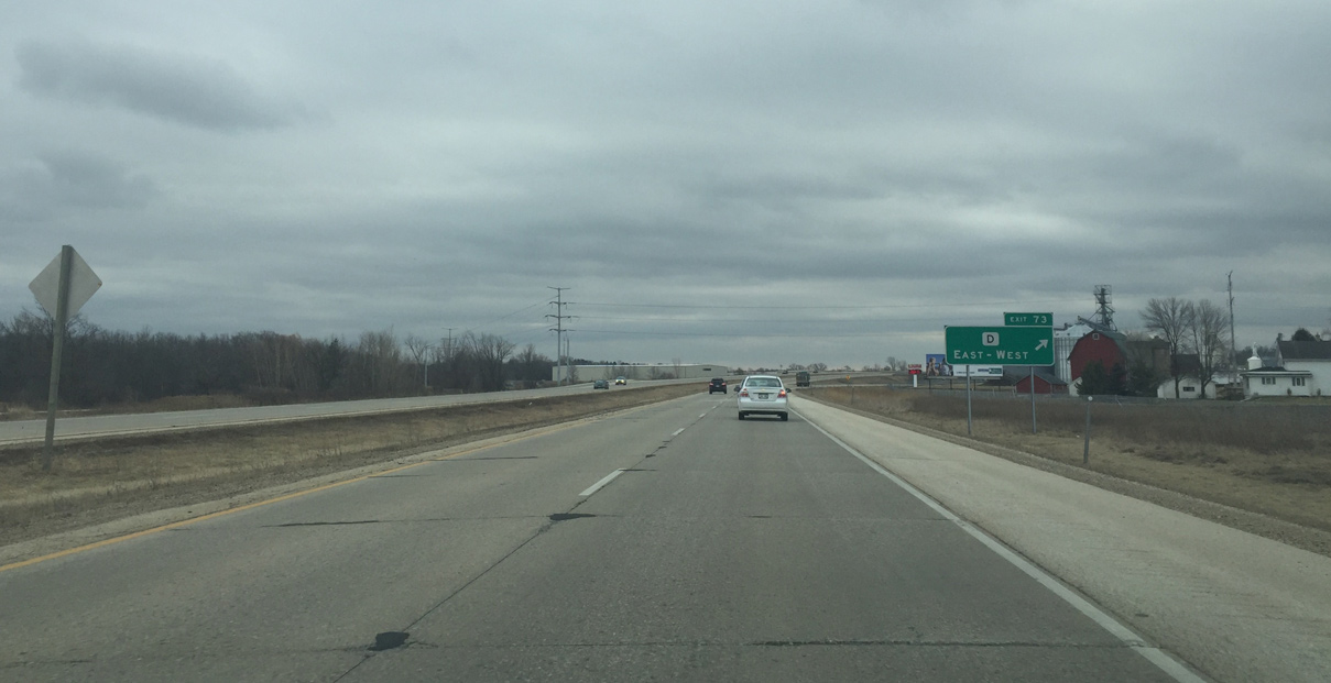
| Entering the diamond interchange (Exit 73) with County D (Kettle Moraine Scenic Drive) on U.S. 45 south. A number of industrial parks are located nearby as North Main Street curves southeast along the Milwaukee River toward Downtown West Bend. 02/29/16 |
|
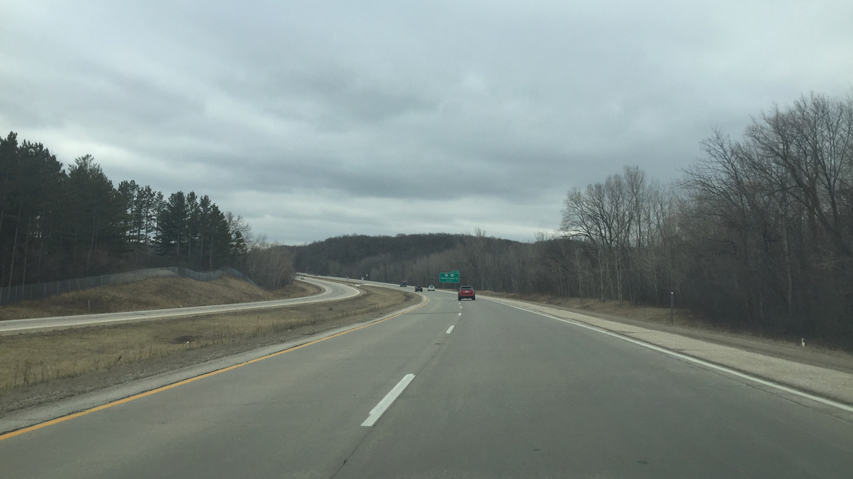
| U.S. 45 travels across rolling hills on the west side of West Bend. The city maintained Glacial Blue Hills Recreation Area spreads along the freeway on this stretch. 02/29/16 |
|
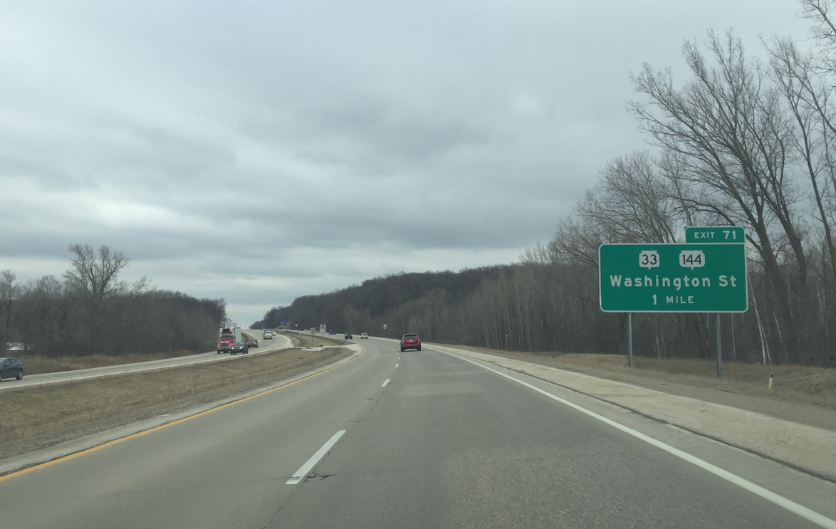
| STH-33 & 144 (Washington Street) joins U.S. 45 with the West Bend city center, 1.5 miles to the east of upcoming Exit 71. Wis 33 traverses the entire state from Port Washington to La Crosse. Wis 144 is a short highway that runs from Slinger to Random Lake. 02/29/16 |
|
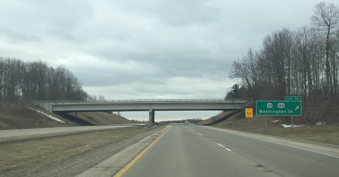
| Park Avenue spans U.S. 45 south between two subdivisions as the freeway reaches the diamond interchange (Exit 71) with STH-33 & 144 (Washington Street). The two trunk highways overlap for 3.8 miles from Downtown west to near Gilbert Lake. Wis 33 joins West Bend with Beaver Dam to the west while Wis 144 south runs along Big Cedar Lake to I-41. 02/29/16 |
|
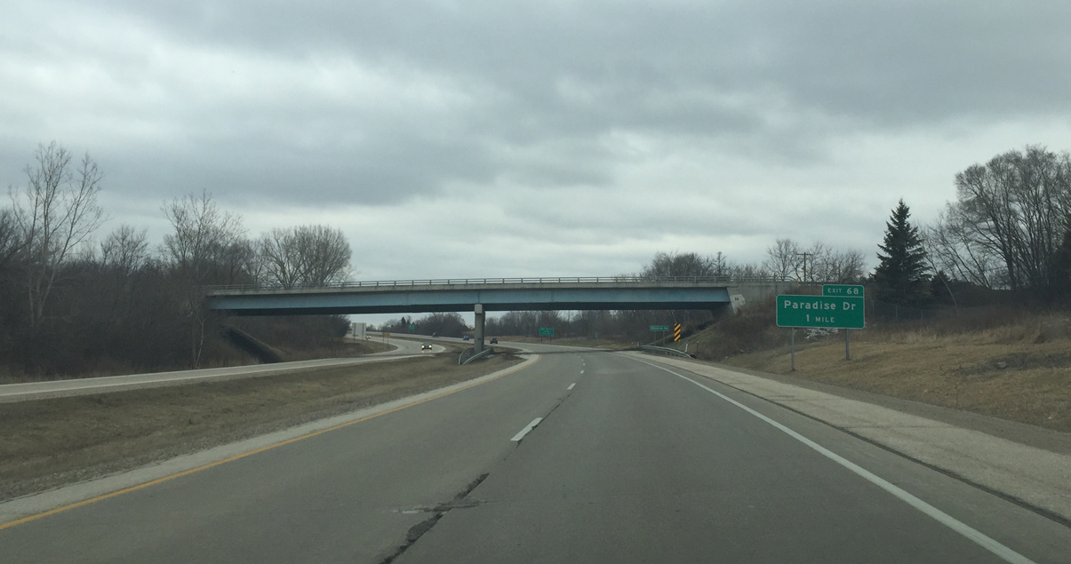
| The U.S. 45 freeway curves southeast by Bicentennial Park and below Decorah Road on the one mile approach to Exit 66 with Paradise Drive. Paradise Drive is the main commercial exit for West Bend. 02/29/16 |
|
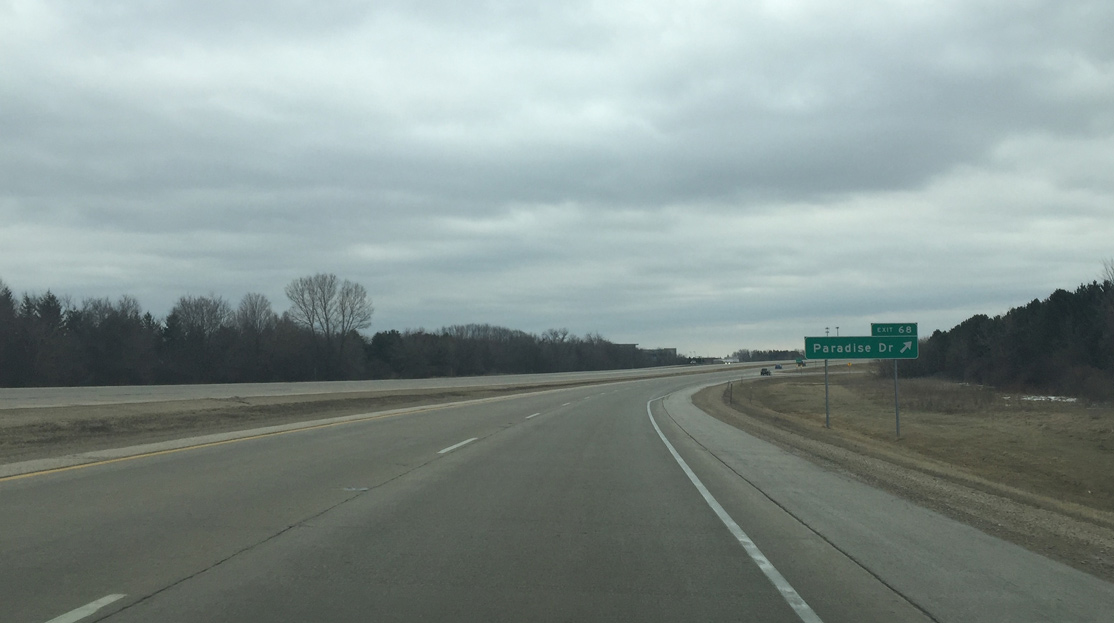
| Exit 68 departs U.S. 45 south for Paradise Drive. Paradise Drive comprises a commercial arterial west to 18th Avenue and east to South Main Street (old U.S. 45). The local road meanders west to Silver Lake and Big Cedar Lake and east through the south suburbs of West Bend. 02/29/16 |
|
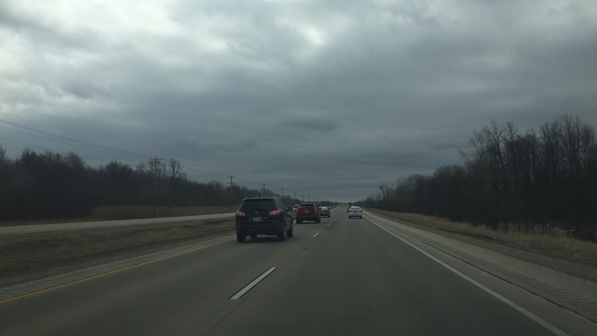
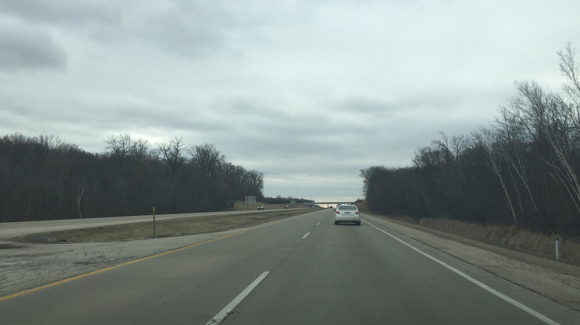
| Leaving the West Bend area, U.S. 45 resumes as a rural four lane freeway. County NN spans the route in the distance. 02/29/16 |
|
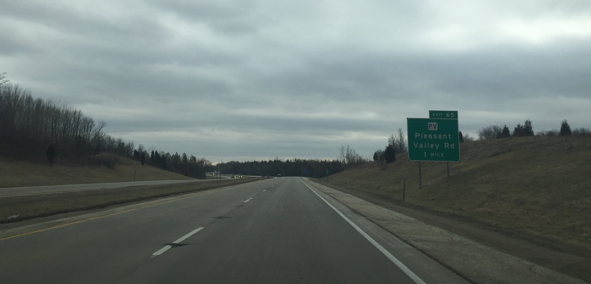
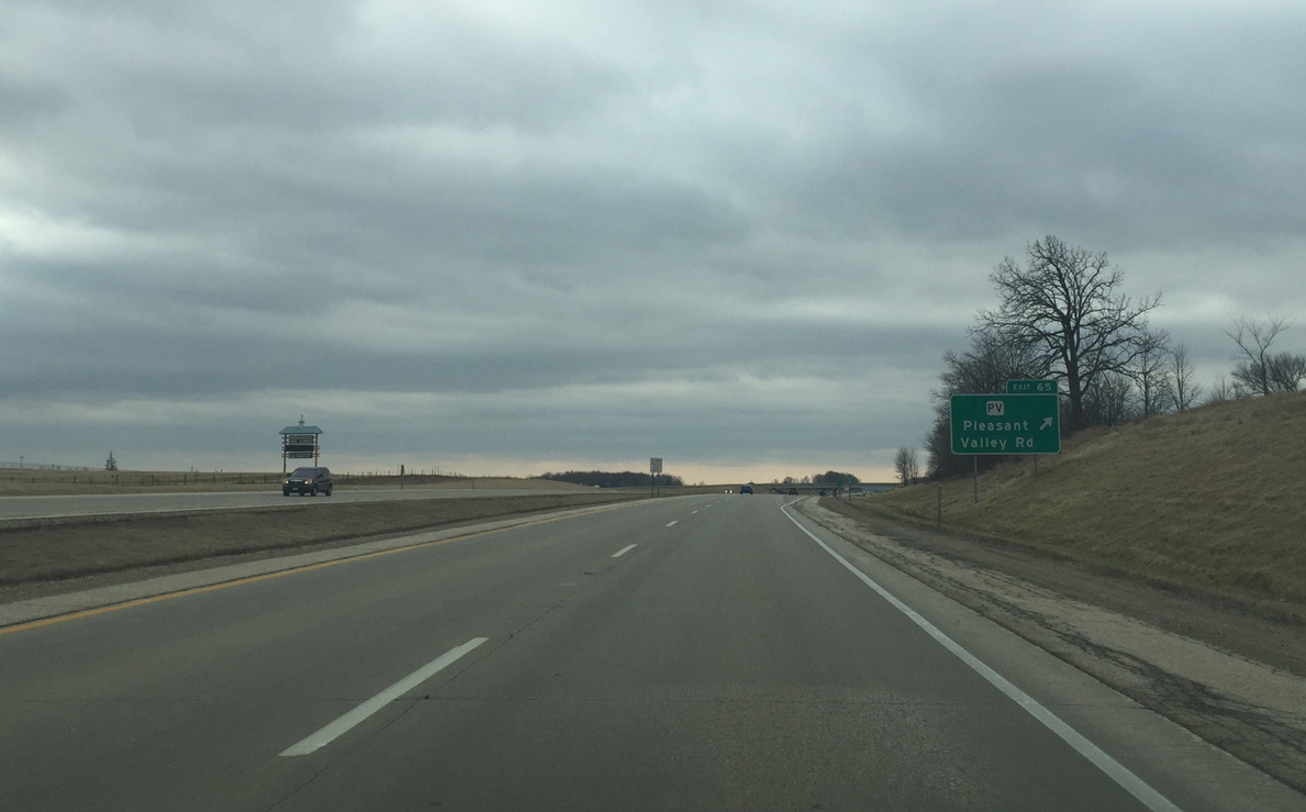
| A diamond interchange (Exit 65) connects U.S. 45 with Pleasant Valley Road in one mile. County PV serves as an exit for local traffic along with the Washington County Fairgrounds and a new hospital. 02/29/16 |
|
| CTH-PV totals just one half mile as a link between Exit 65 and parallel CTH-P (Old US Highway 45). Pleasant Valley Road west travels a rural route to CTH-Z, north of Cedar Creek, and to Diefenbach Corners. 02/29/16 |
|
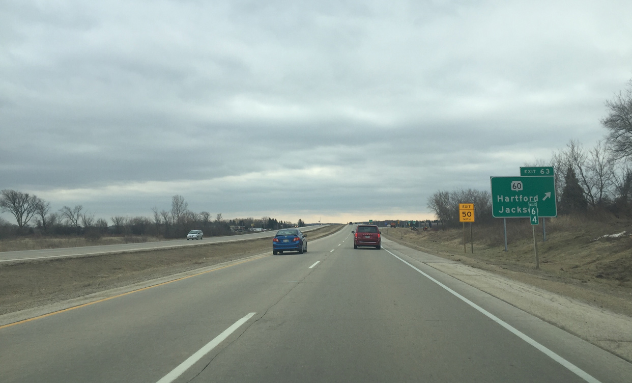
| Motorists along U.S. 45 south next meet Wis 60 at Exit 63 in one mile. Wis 60 crosses the entire state from Grafton to Prairie Du Chien. 02/29/16 |
|
| A dumbbell interchange serves the village of Jackson via Wis 60 east. Wis 60 west travels four miles to I-41 and nine miles to the city of Hartford. 02/29/16 |
|
| Continuing south from Wis 60 and Jackson on U.S. 45 at the Sherman Road underpass. 02/29/16 |
|
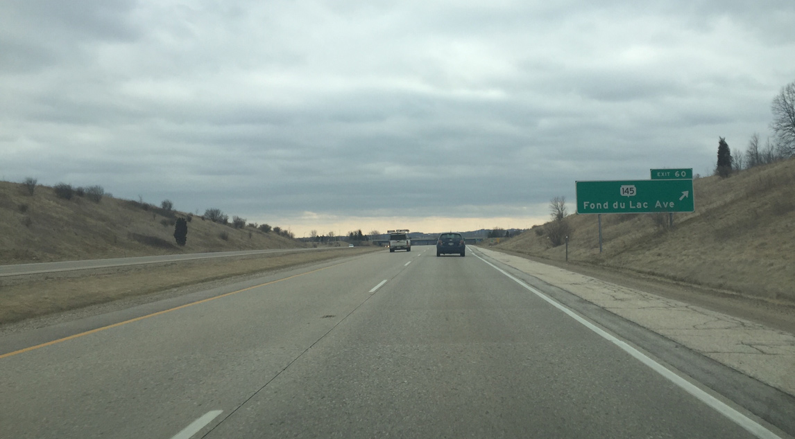
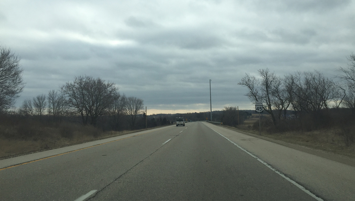
| Parallel County P(Old US Highway 45) ends at forthcoming Wis 145 just east of Exit 60. Wis 145 extends southeast along former U.S. 45 initially as a rural road. 02/29/16 |
|
| STH-145 north and CTH-FD east end at the dumbbell interchange (Exit 60) with U.S. 45. County FD connects the freeway with adjacent Interstate 41 at Pioneer Road. Wis 145 southeast parallels I-41 & U.S. 45 southeast through Germantown to eventually become a six lane freeway and an urban roadway into Downtown Milwaukee. 02/29/16 |
|
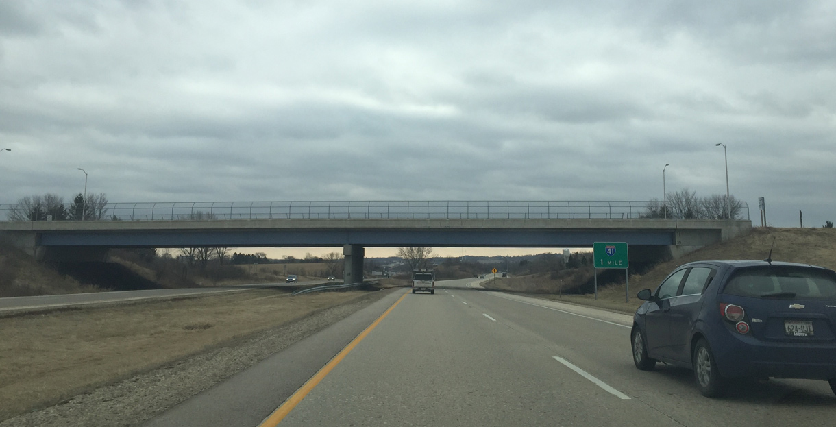
| U.S. 45 south merges with Interstate 41 south in one mile. 02/29/16 |
|
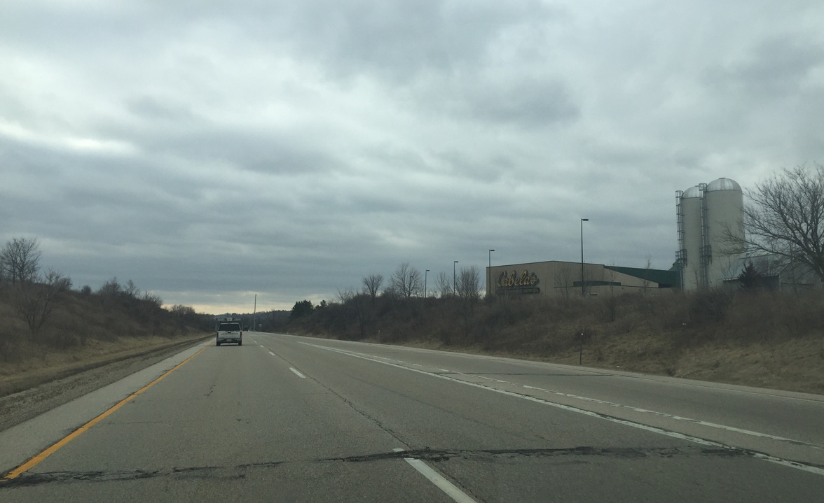
| A Cabellas store is one of the many new developments in Richfield. The store lies just south of CTH-FD from the third of five roundabouts along the east-west stretch. 02/29/16 |
|
| The last U.S. 45 reassurance sign before the merge with I-41. 02/29/16 |
|
| A wye interchange joins the ending U.S. 45 freeway with Interstate 41 within the northeast corner of Richfield. 02/29/16 |
Page Updated 04-25-2016.

 South
South