|
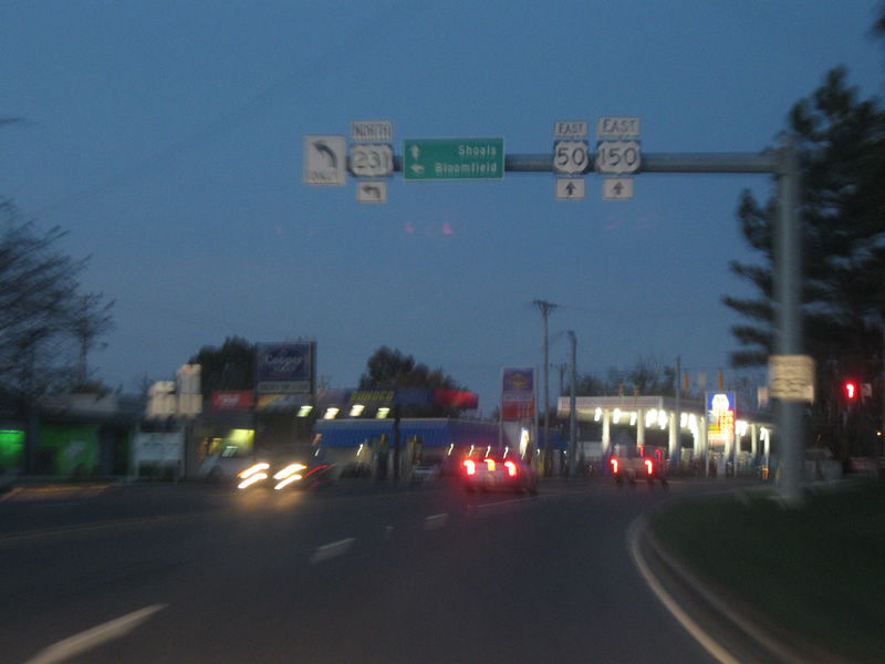
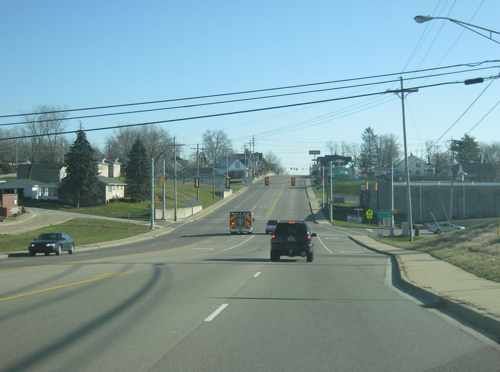
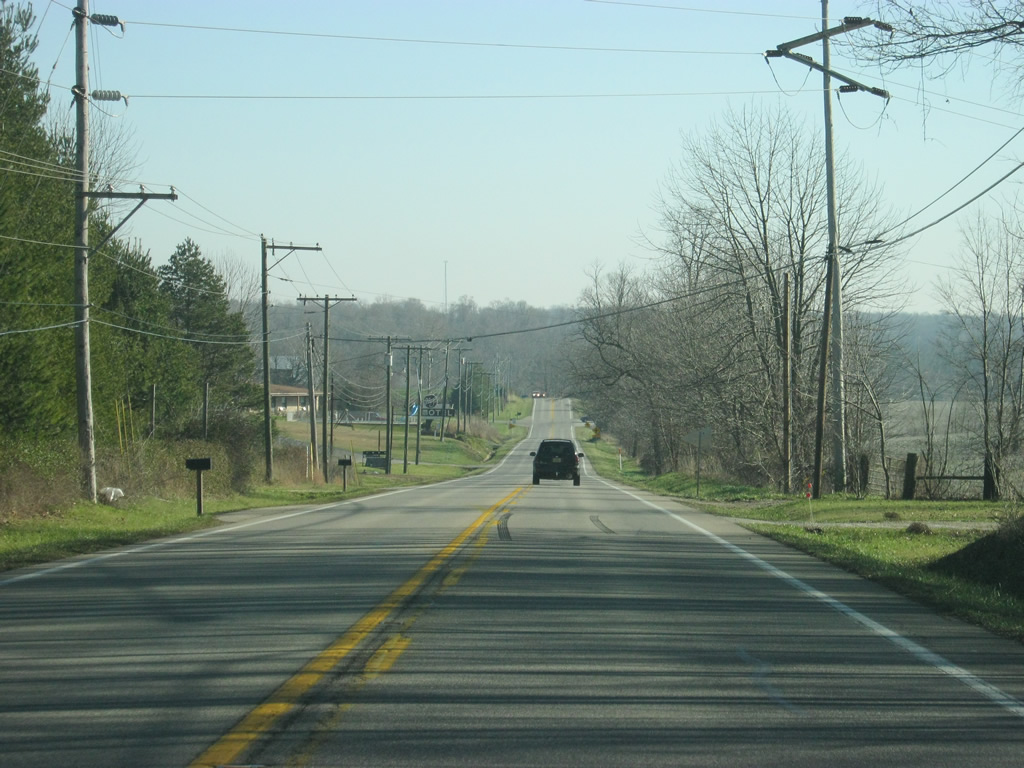
| Now in Martin County (population 10,334), the least populous among Indiana counties. The first town U.S. 50/150 enters is Loogootee (population 2,751), the largest community in the county. U.S. 231 comes together with the pair from Jasper to the south. In this scene, U.S. 231 breaks off toward the north in the direction of the Crane Naval Warfare Center, the new Interstate 69 and Bloomfield. U.S. 50/150 continue eastward toward Shoals. 10/10/09 |
|
| East of the U.S. 231 north split, U.S. 50/150 approach the other segment of SR 550, which goes for 9 miles between Loogootee and U.S. 150 to the southeast of Shoals. 11/13/10 |
|
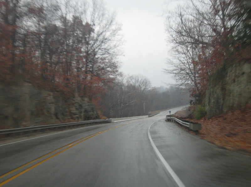
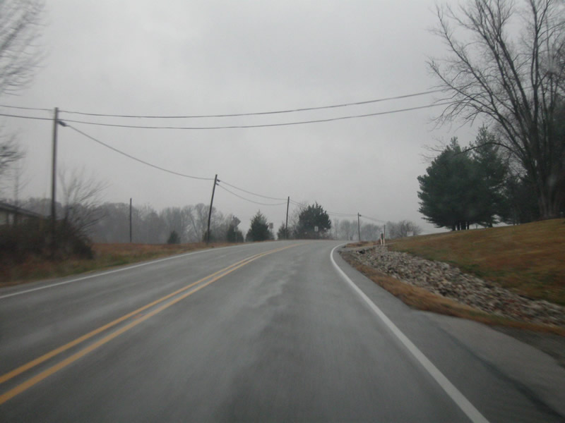
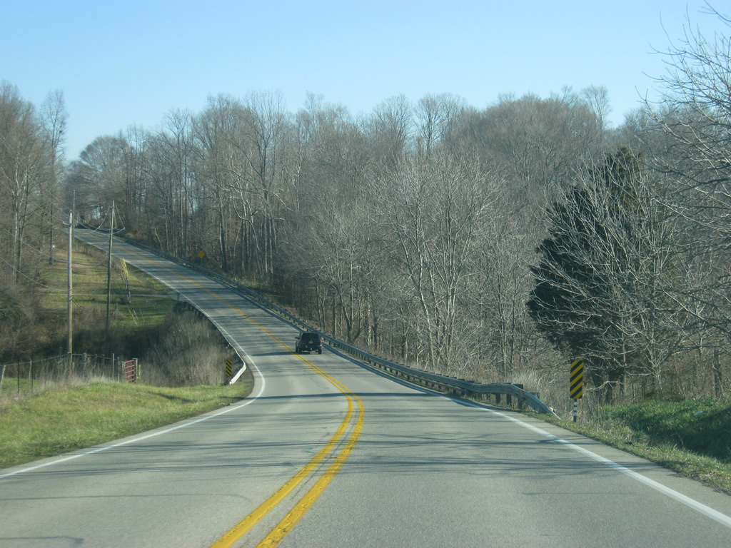
| East of Loogootee, the scenery along U.S. 50/150 changes from the flat fields of Knox and Daviess Counties to the hills of Martin County. Rock cuts abut the highway as it winds in between Loogootee and Shoals. 11/13/10 |
|
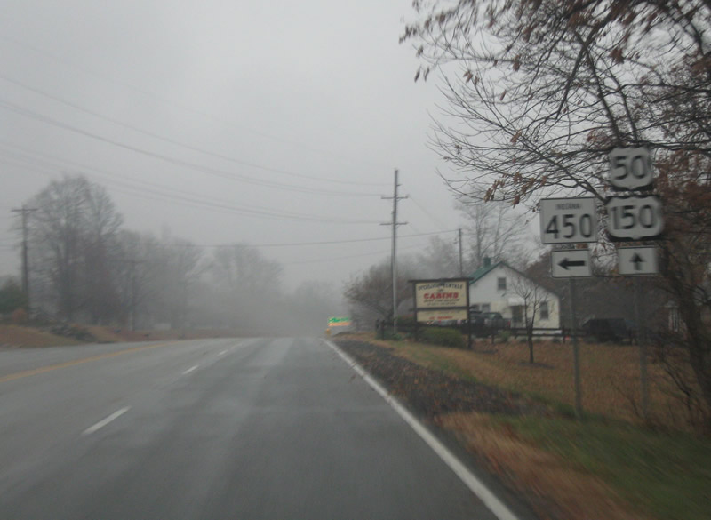
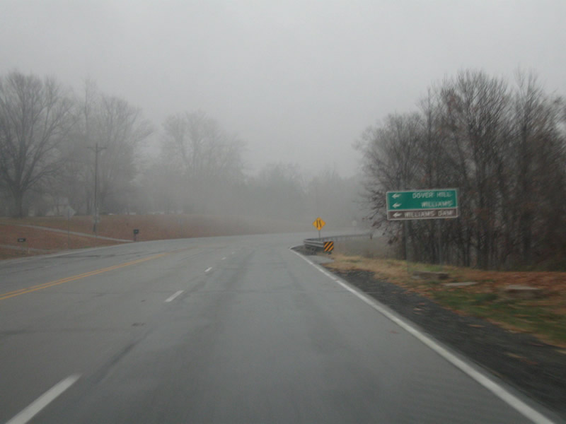
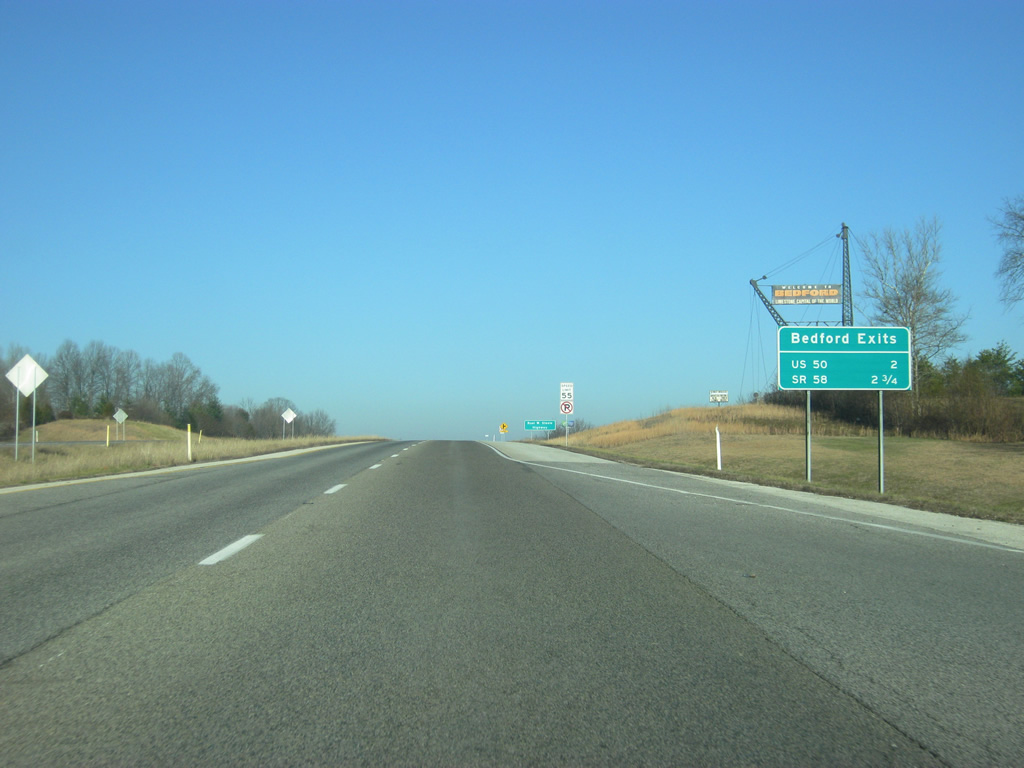
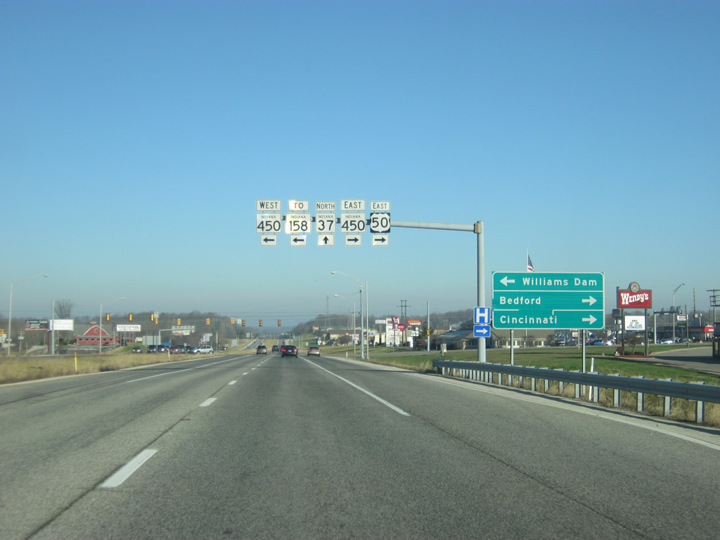
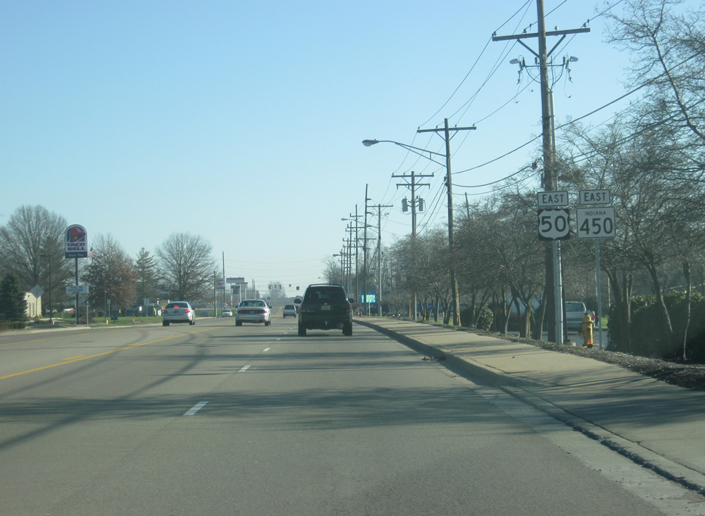
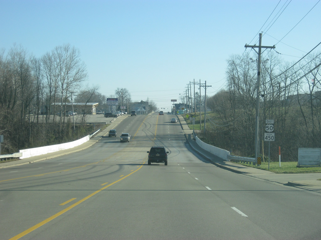
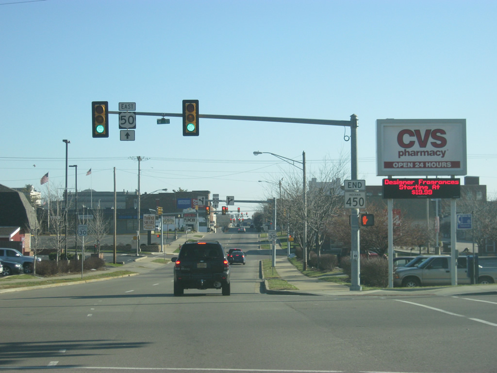
| Now at the intersection with SR 450 to the west of Shoals. SR 450 has both its western and eastern terminus with U.S. 50. From here, the highway winds its way for 26 miles from outside of Shoals to Bedford. 11/13/10 |
|
| The small towns of Dover and Williams, and Williams Dam are located north along SR 450. 11/13/10 |
|
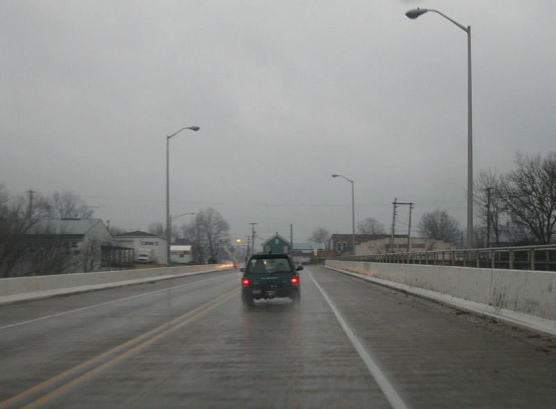
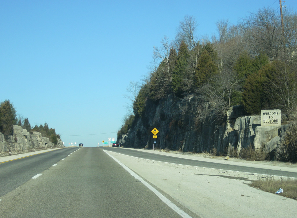
| U.S. 50/150 now enter the Martin County seat of Shoals (population 756). Shoals, located along the East Fork of the White River, is best known for the Jug Rock formation, the only free-standing table rock formation east of the Mississippi River. 11/13/10 |
|
| Views of U.S. 50/150 through the western half of Shoals. The community is divided in half by the East Fork of the White River. The original Martin County Courthouse is located in the western half while the newer one is in the eastern half within the downtown section of Shoals. 11/13/10 |
|
| Crossing the third bridge of U.S. 50/150 across the East Fork of the White River. U.S. 50 will cross the East Fork of the White River two more times on its eastern journey across Indiana. 11/13/10 |
|
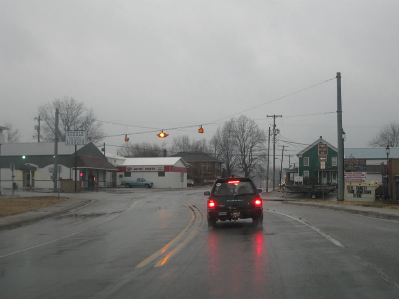
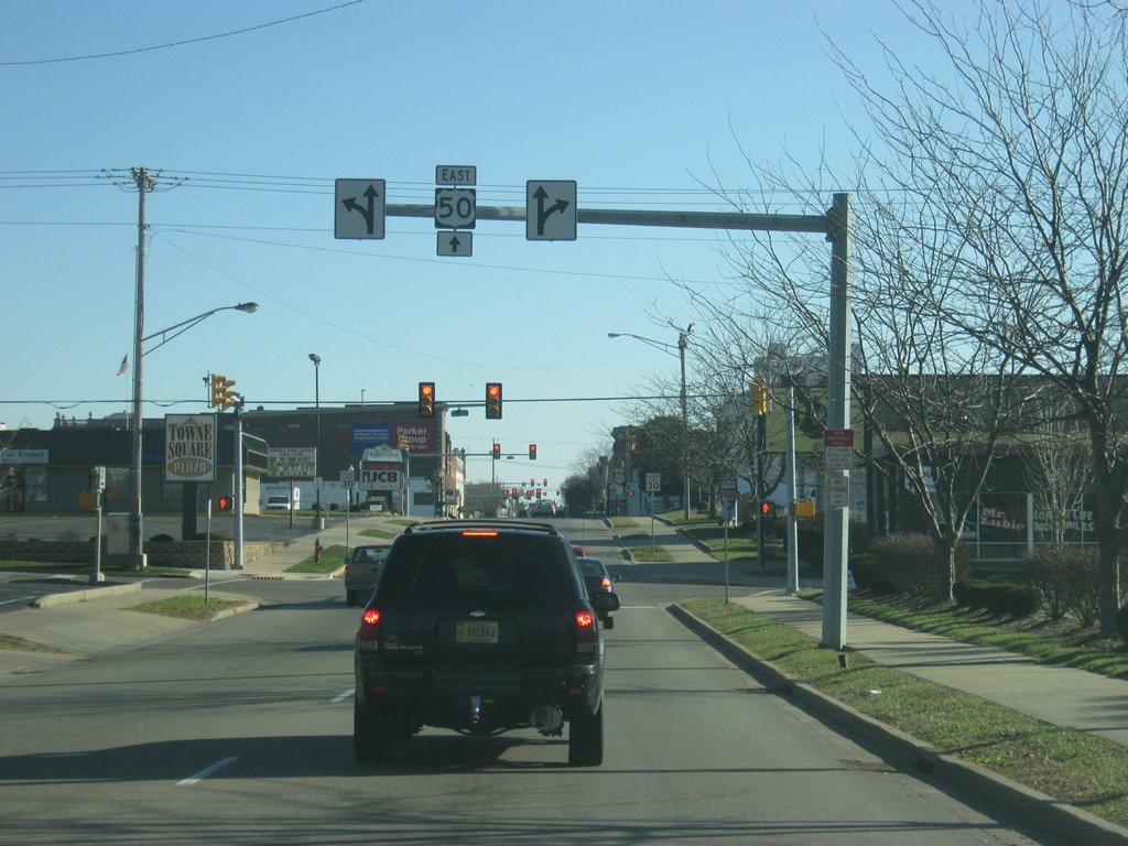
| U.S. 50/150 intersect Main Street just east of the river crossing. Main Street leads to the small downtown for Shoals and originally carried U.S. 50 on a different alignment that stayed to the south of the river on its way toward Loogootee. Despite being the county seat, Shoals is much smaller than Loogootee to the west. 11/13/10 |
|
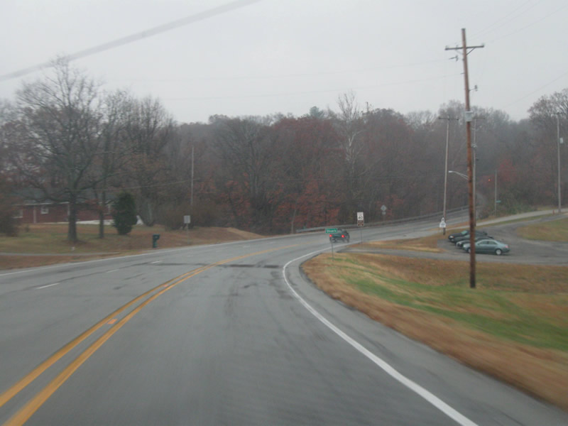
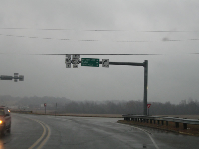
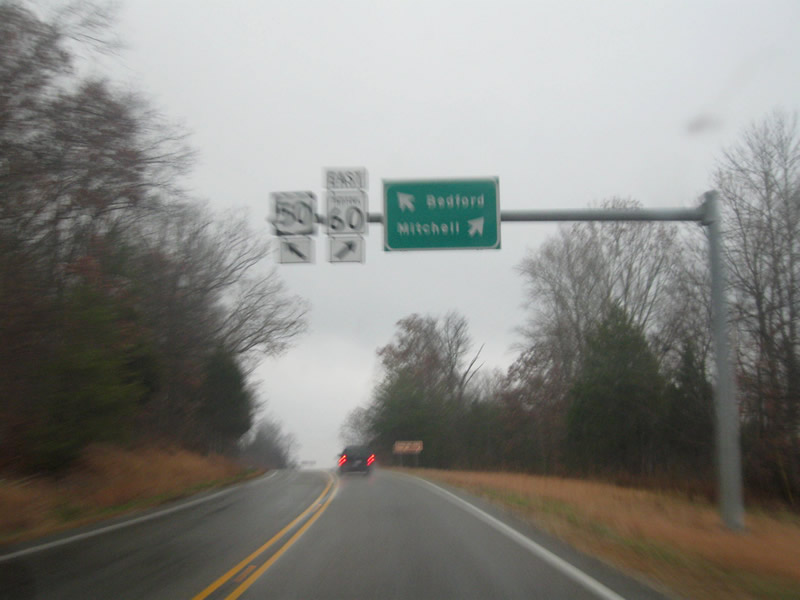
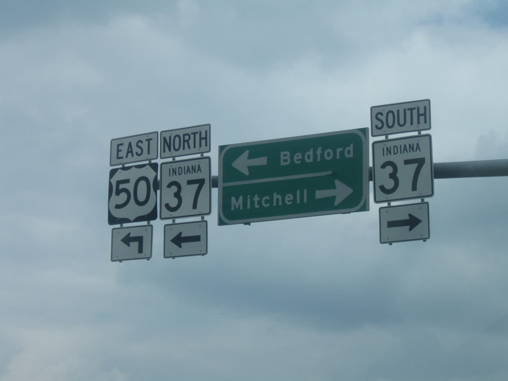
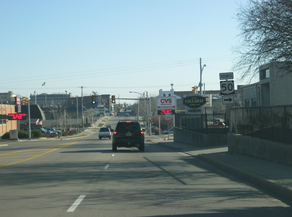
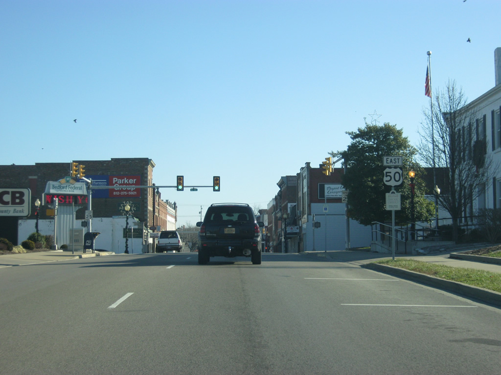
| Here, just outside of Shoals, U.S. 150 splits from U.S. 50 east. To the southeast, U.S. 150 continues on its journey toward French Lick, Paoli, and Louisville along its 571 mile route from Moline, Illinois to Mount Vernon, Kentucky. U.S. 50 heads off toward the northeast from the split.
U.S. 150 follows both U.S. 50 and U.S. 41 for considerable distances across the state with only two sections of alignment to itself, the first is northwest of Terre Haute and the second goes from Shoals to the Louisville, Kentucky area. 11/13/10 |
|
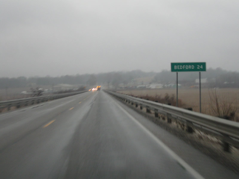
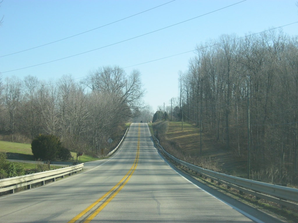
| East of the split with U.S. 150, U.S. 50 is now 24 miles from Bedford, its next major community. 11/13/10 |
|
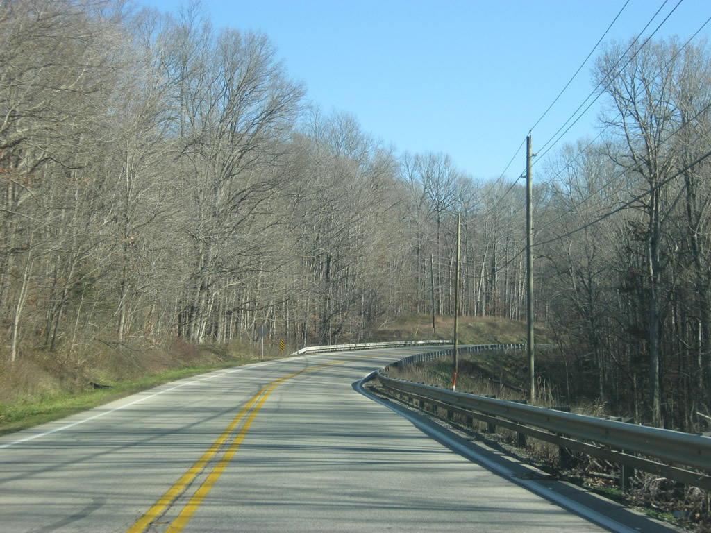
| Scenes of U.S. 50 across eastern Martin County. The road winds past the Martin State Forest as it makes its way toward Bedford. 11/13/10 |
|
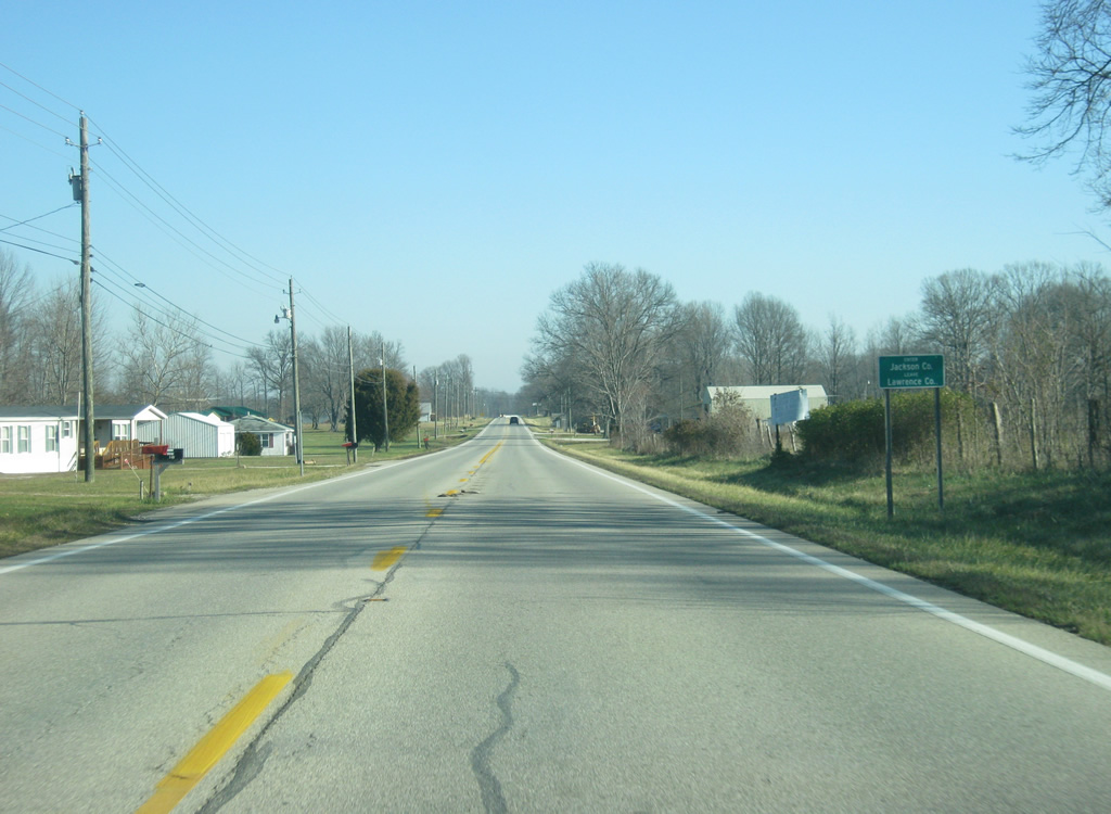
| U.S. 50 crosses into Lawrence County (population 46,134) near the small town of Huron. 2.4 miles east of Huron, SR 60 breaks off from U.S. 50 as it begins its 62 mile journey southeast toward Mitchell, Salem, and Sellersburg, off of Interstate 65. 11/13/10 |
|
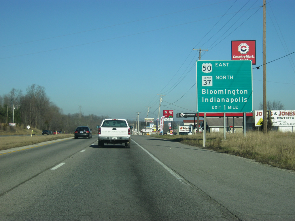
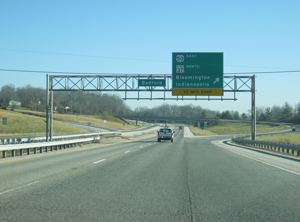
| U.S. 50 comes up to the four lane SR 37 expressway to the southwest of Bedford. SR 37 goes for 214 miles from Tell City along the Ohio River, northward through Paoli, Mitchell, Bedford, Bloomington, Martinsville, Indianapolis, Noblesville, Elwood and finally Marion. U.S. 50 multiplexes with SR 37 for 3.9 miles toward the west side of Bedford. 06/13/09 |
|
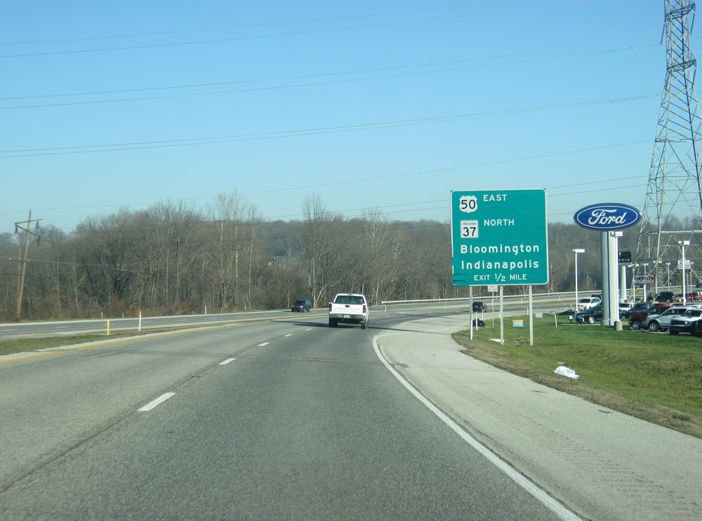
| One mile out from the interchange with U.S. 50 Business (Mitchell Road) to central Bedford along U.S. 50 east/SR 37 north. 12/18/11 |
|
| U.S. 50/SR 37 arc northeast to cross over the east fork of the White River ahead of the exchange with Mitchell Road (U.S. 50 Business). 12/18/11 |
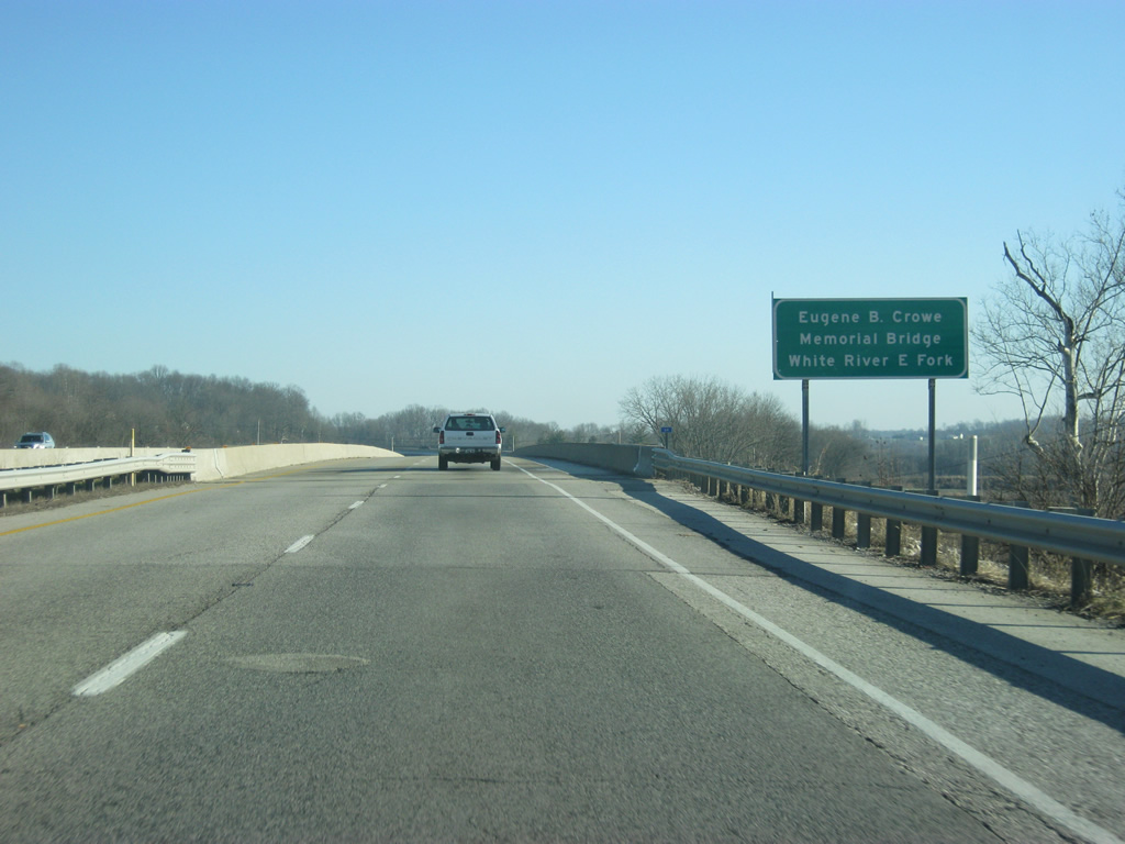
|
| U.S. 50/SR 37 crosses the East Fork of the White River via the Eugene B. Crowe Memorial Bridge. This fork of the White River meanders 200 miles between Columbus and Petersburg, where it joins the west fork. 12/18/11 |
|
| The continuation of U.S. 50 east/SR 37 north follows a two lane ramp as U.S. 50 Business begins along Mitchell Road to Downtown Bedford. Mitchell Road represents the former alignment of U.S. 50. 12/18/11 |
|
| A ramp from southbound Mitchell Road (U.S. 50 Business) joins U.S. 50 east/SR 37 north as the four lane highway rises from the White River valley. 12/18/11 |
|
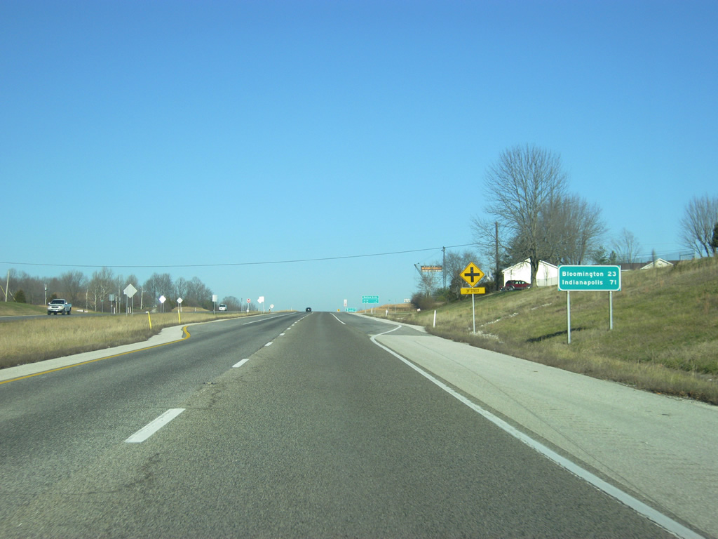
| The first distance sign referencing Indianapolis (71 miles) along SR 37 north is posted ahead of 39th Street. 12/18/11 |
|
| U.S. 50 and SR 58 both serve the city of Bedford at the next two major at-grade signalized intersections along SR 37 north. 12/18/11 |
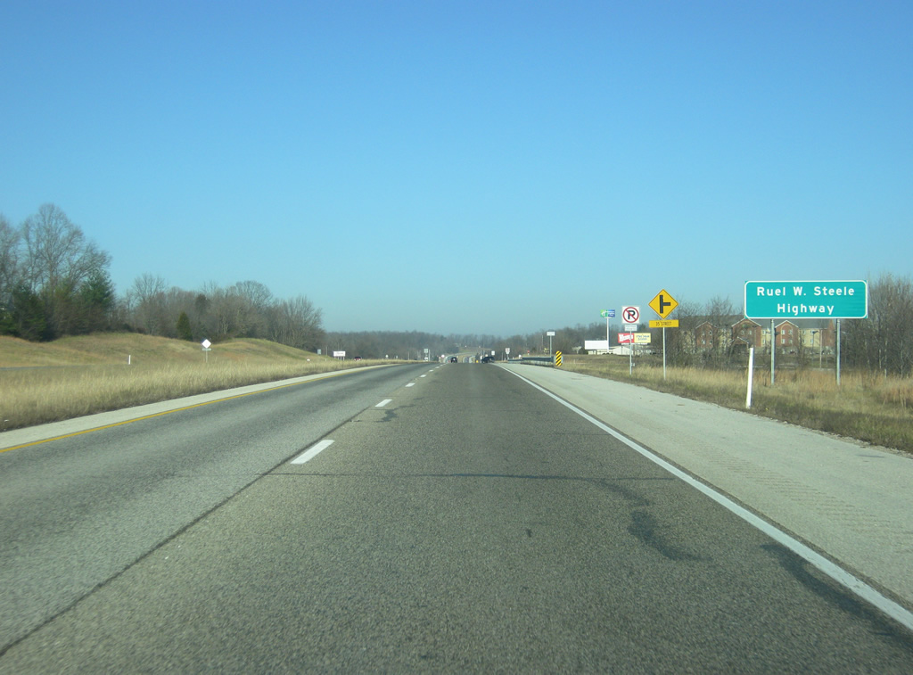
|
| The stretch of SR 37 between Bedford and Indianapolis is designated as the Ruel W. Steele Highway, named after the politician who was instrumental in the widening of the state road through this part of Indiana. 12/18/11 |
|
| U.S. 50 east/SR 37 north meets 29th Street and crosses over Spider Creek on the ensuing stretch. 12/18/11 |
|
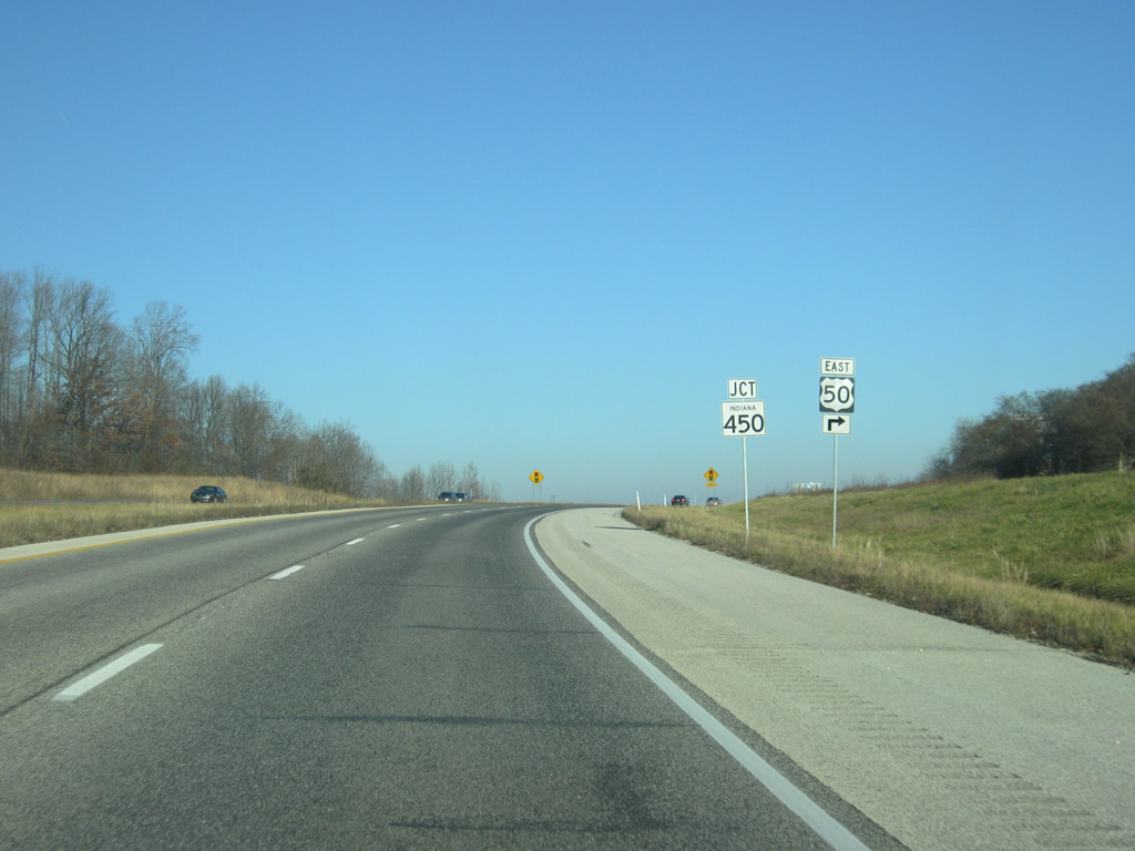
| U.S. 50 east parts ways with SR 37 ahead at a signalized intersection with SR 450 (16th Street). SR 450 winds southwest along a 9.3 mile course to Williams and 27 miles to Shoals. 12/18/11 |
|
| U.S. 50 east turns east onto 16th Street from SR 37 north. Prior to its realignment, U.S. 50 followed Mitchell Road southwest from downtown while SR 450 extended west along 16th Street to SR 37. Cincinnati, Ohio lies 129 miles to the east of Bedford along U.S. 50 while SR 158 begins 0.2 miles to the west to the Crane Naval Surface Warfare Center. 12/18/11 |
|
| A confirming marker for U.S. 50 is posted along 16th Street beyond Plaza Drive. SR 450 previously followed U.S. 50 into downtown Bedford. 12/18/11 |
|
| Commercial retail lines the ensuing stretch of U.S. 50 (16th Street) toward the central business district. 12/18/11 |
|
| U.S. 50 Business overlays M Street and Mitchell Road as it leads southwest from downtown to a return to U.S. 50/SR 37 ahead of the White River East Fork. 12/18/11 |
|
| Prior to its relocated end at SR 37, SR 450 ended at M Street. U.S. 50 Business proceeds south along M Street as U.S. 50 continues east on 16th Street. 12/18/11 |
|
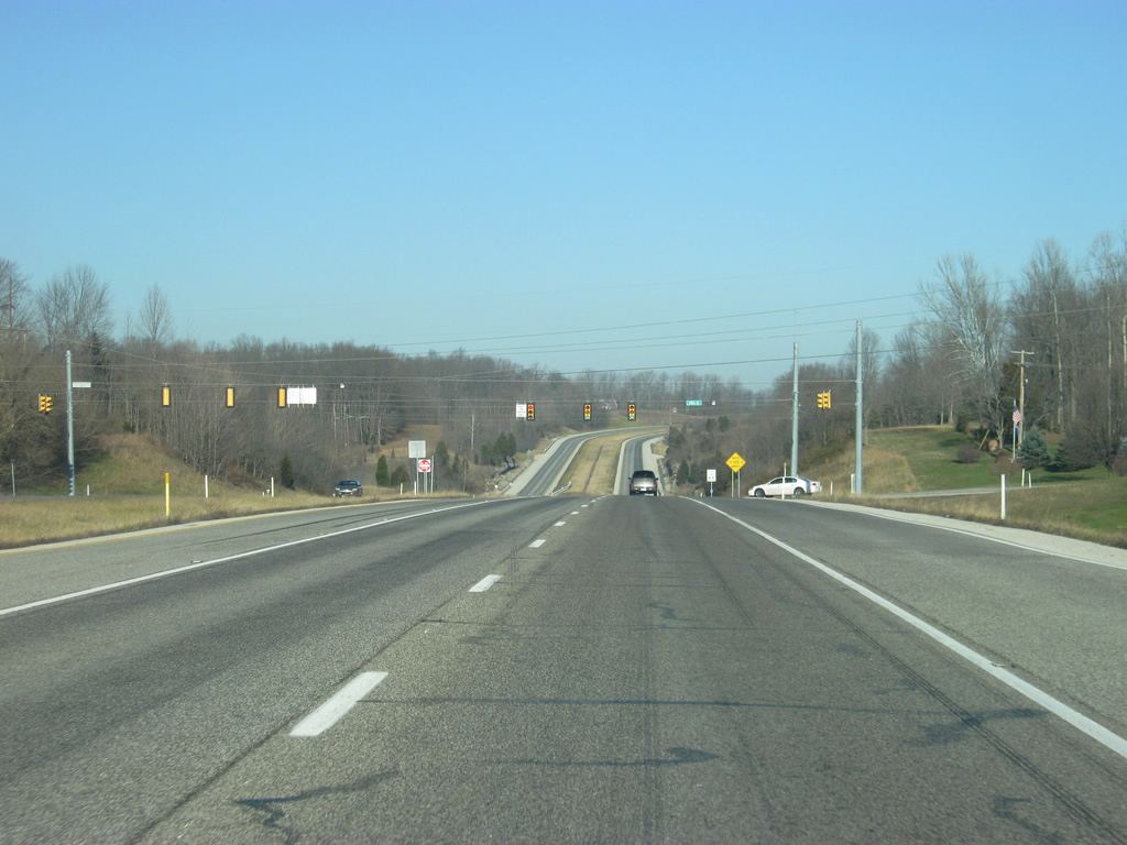
| For the next few blocks, 16th Street carries U.S. 50 eastbound while 15th Street, one block to the north, carries U.S. 50 westbound. The one way couplet contains the Lawrence County Courthouse between J and I Streets. 12/18/11 |
|
| U.S. 50 recombines with U.S. 50 west at the intersection of 16th and H Streets. 16th Street carries two-way traffic from this point eastward. 12/18/11 |
|
| East of H street, U.S. 50 (16th Street) reduces to two lanes. 12/18/11 |
|
| U.S. 50 (16th Street) sinks toward D Street in this scene across the east side of Bedford. 12/18/11 |
|
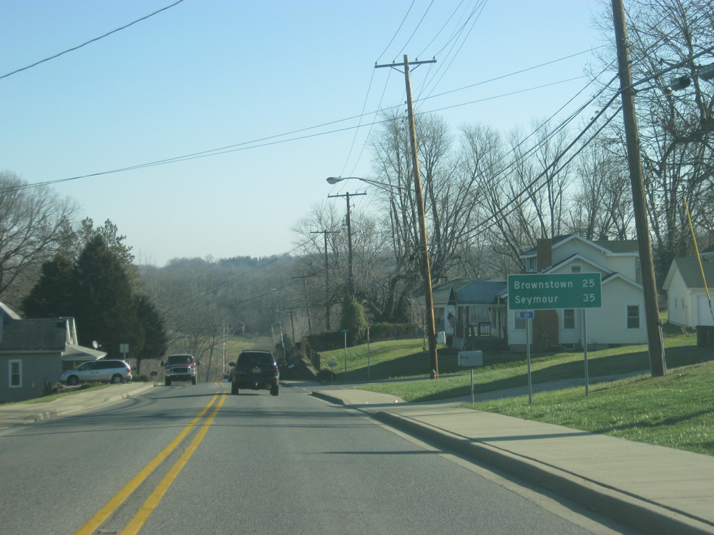
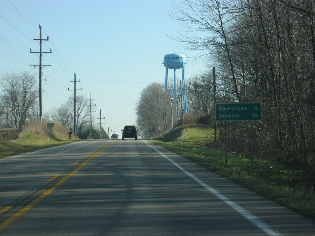
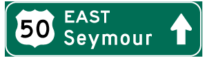
| East from Beford, the U.S. 50 distances to the next two communities, both in Jackson County, are given. Brownstown is 25 miles away and Seymour, located at Interstate 65, is 35 miles away. 12/18/11 |
|
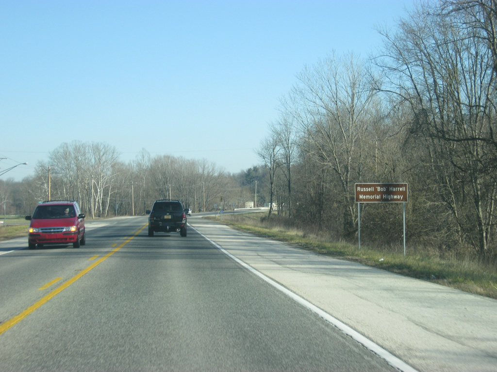
| The stretch of U.S. 50 between Bedford and Brownstown is named for Russell "Bob" Harrell. Bob Harrell worked for many years with the Indiana Department of Transportation and is one of the central figures in the development of the state's interstate system. He was also the project engineer for this stretch of U.S. 50. 12/18/11 |
|
| U.S. 50 east at the intersection with Stars Boulevard outside of Bedford. The Bedford-North Lawrence High School complex lies along along Stars Boulevard to the north. The boulevard also provides a shortcut to SR 58. 12/18/11 |
|
| A view of U.S. 50 east of Stars Boulevard. 12/18/11 |
|
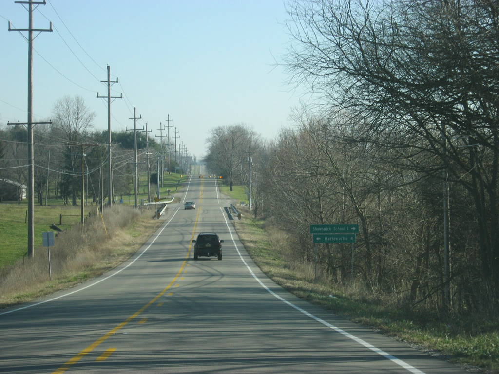
| A flasher light is located at the intersection of U.S. 50 and Maple Leaf and Shawswick School Roads. The town of Heltonville is located four miles to the north along Maple Leaf Road and SR 58, whereas Shawswick Elementary School is one mile to the south along Shawswick School Road. 12/18/11 |
|
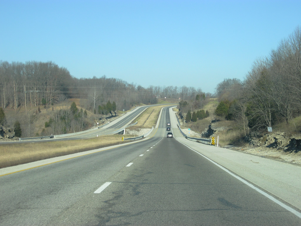
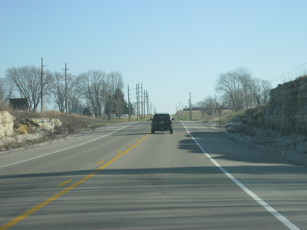
| Limestone rock cuts abut U.S. 50 as the highway traverses the eastern part of Lawrence County. 12/18/11 |
|
| U.S. 50 approaches the junction with SR 446 north. SR 446 is a 23.5 mile highway that travels between U.S. 50 and SR 46 in Bloomington. 12/18/11 |
|
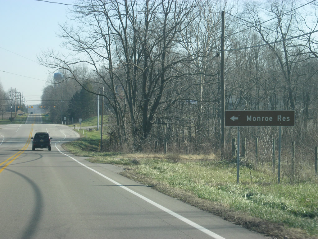
| Monroe Reservoir, the largest lake in Indiana, can be reached via SR 446, along with numerous recreation areas and Hoosier National Forest. SR 446 is marked as an east-west highway even though it goes north-south. A flasher light facilitates the intersection between U.S. 50 and SR 446. 12/18/11 |
|
| East of SR 446, U.S. 50 is 16 miles from Brownstown and 26 miles from Seymour. 12/18/11 |
|
| East of SR 446, U.S. 50 gets into some more hilly terrain as it approaches the county boundary between Lawrence and Jackson Counties. 12/18/11 |
|
| U.S. 50 at the intersection with Leesville Road, which leads to the communities of Leesville and Fort Ritner. 12/18/11 |
|
| U.S. 50 crosses into Jackson County (population 42,376). 12/18/11 |
Page Updated 05-07-2013.


 East
East  North
North