|
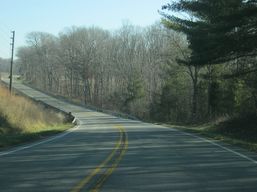
| U.S. 50 goes through some of its most scenic terrain in western Jackson County as it passes through the Norman Upland of Southern Indiana. The Norman Upland consists of a series of hills that begins in Brown County and stretches to the south toward the Ohio River. 12/18/11 |
|
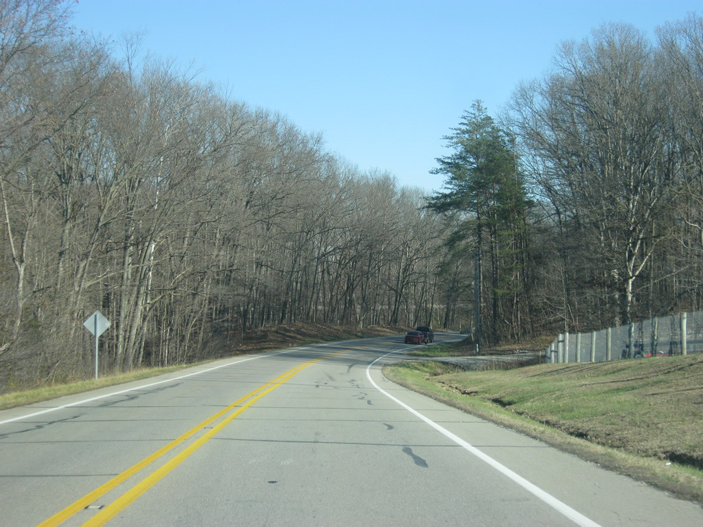
| U.S. 50 winds its way through the Norman Upland as it remains a well-traveled highway connecting Bedford with Brownstown and Seymour. The two lane route peaks at 864 feet above sea level along this stretch. 12/18/11 |
|
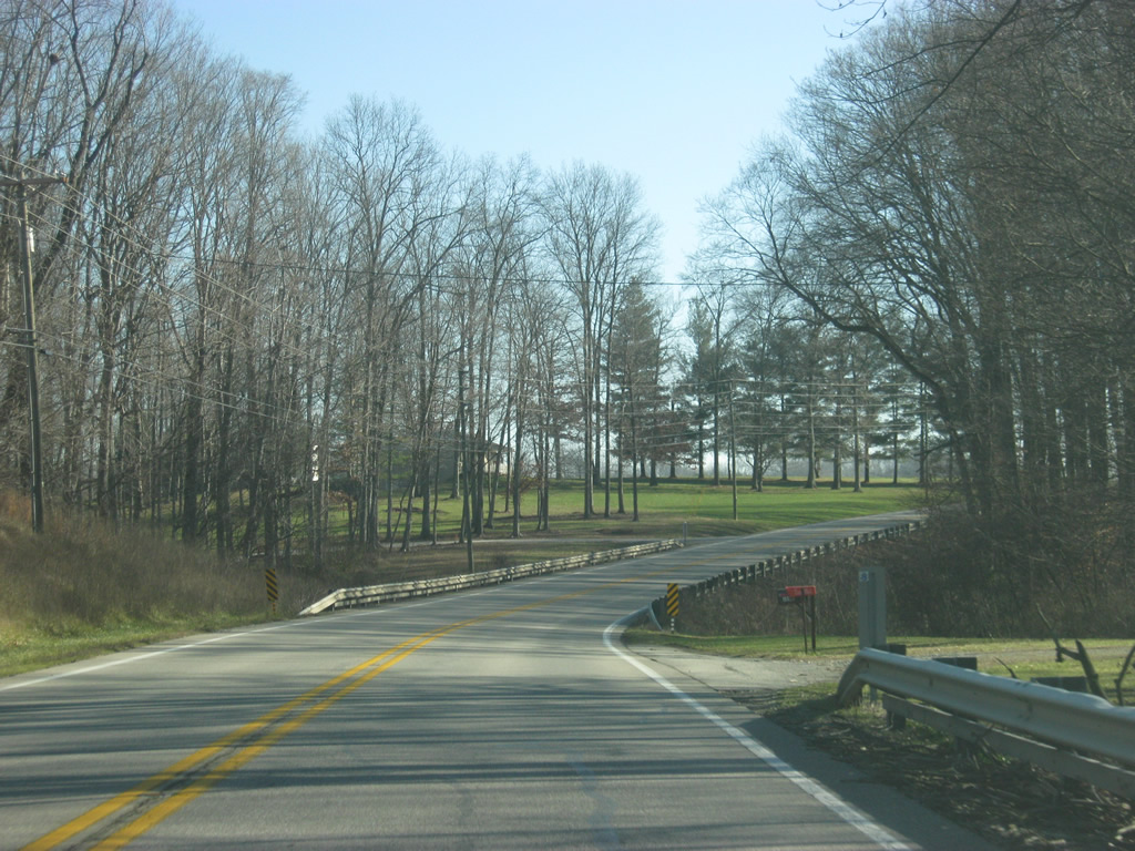
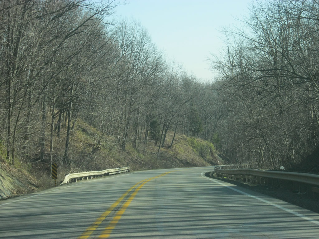
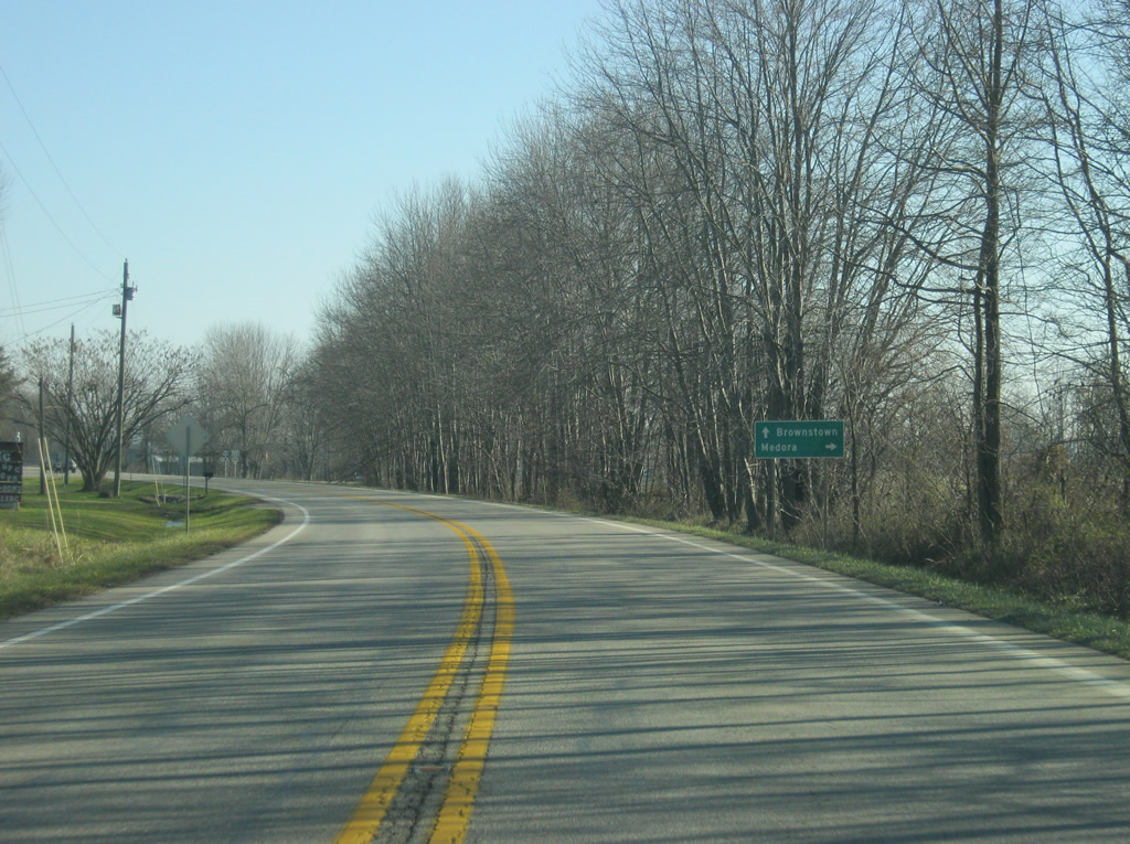
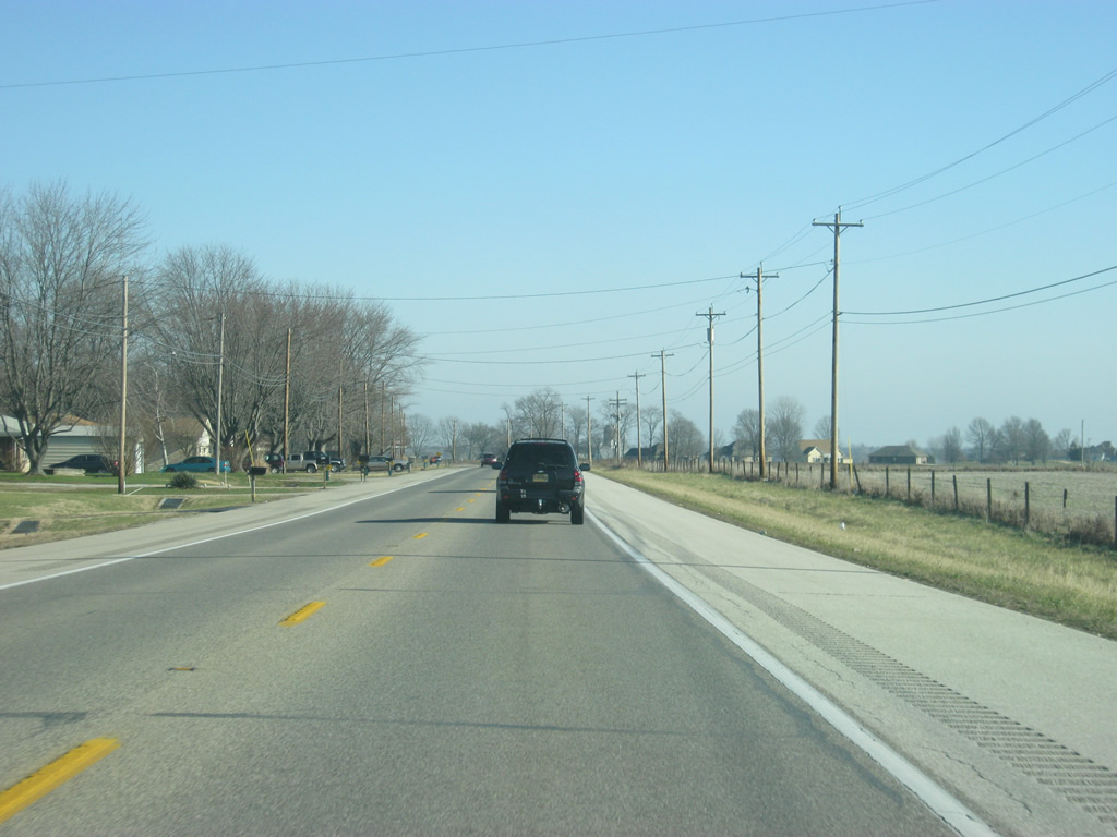
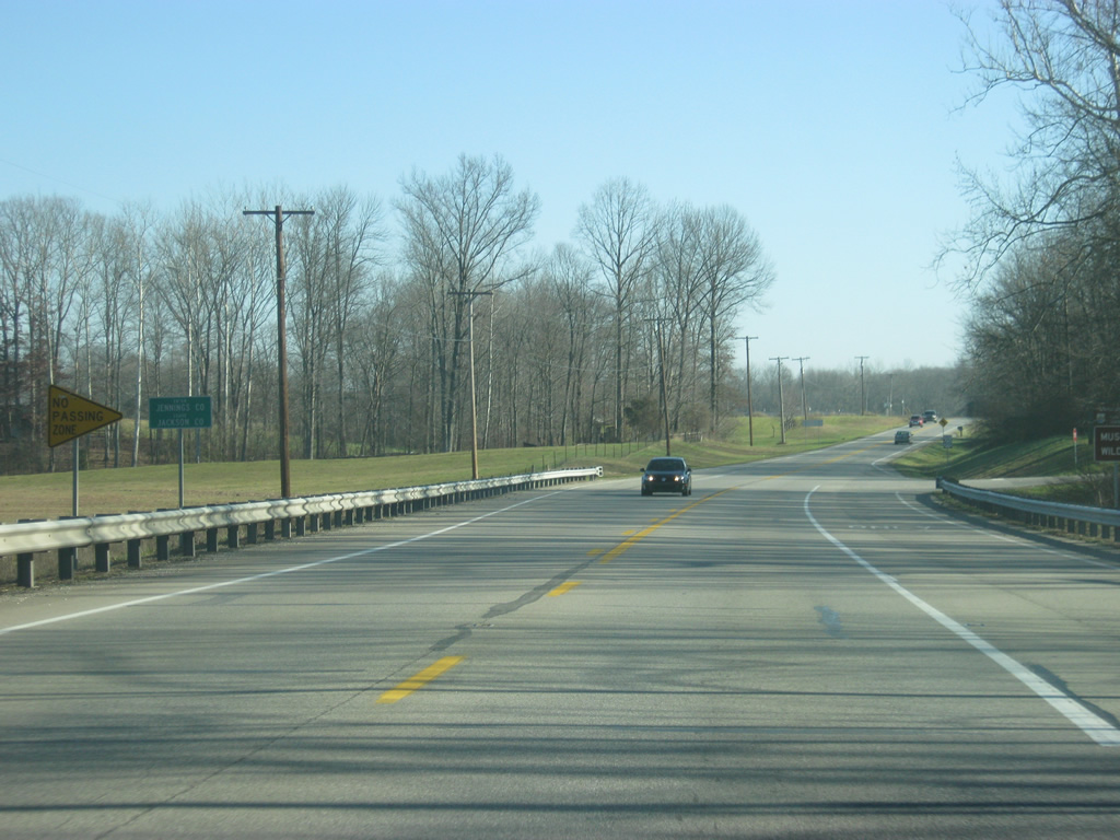
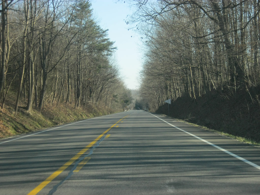
| At the eastern edge of the Norman Upland, U.S. 50 descends three hundred feet into the large plain of the East Fork of the White River. SR 235 approaches ahead. 12/18/11 |
|
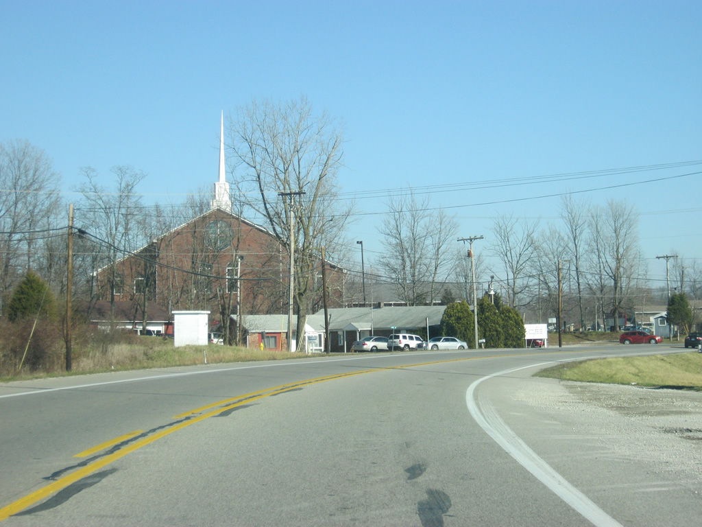
| The town of Medora can be reached from SR 235. Located about three miles to the south, Medora is best known for its covered bridge, the longest in the United States. 12/18/11 |
|
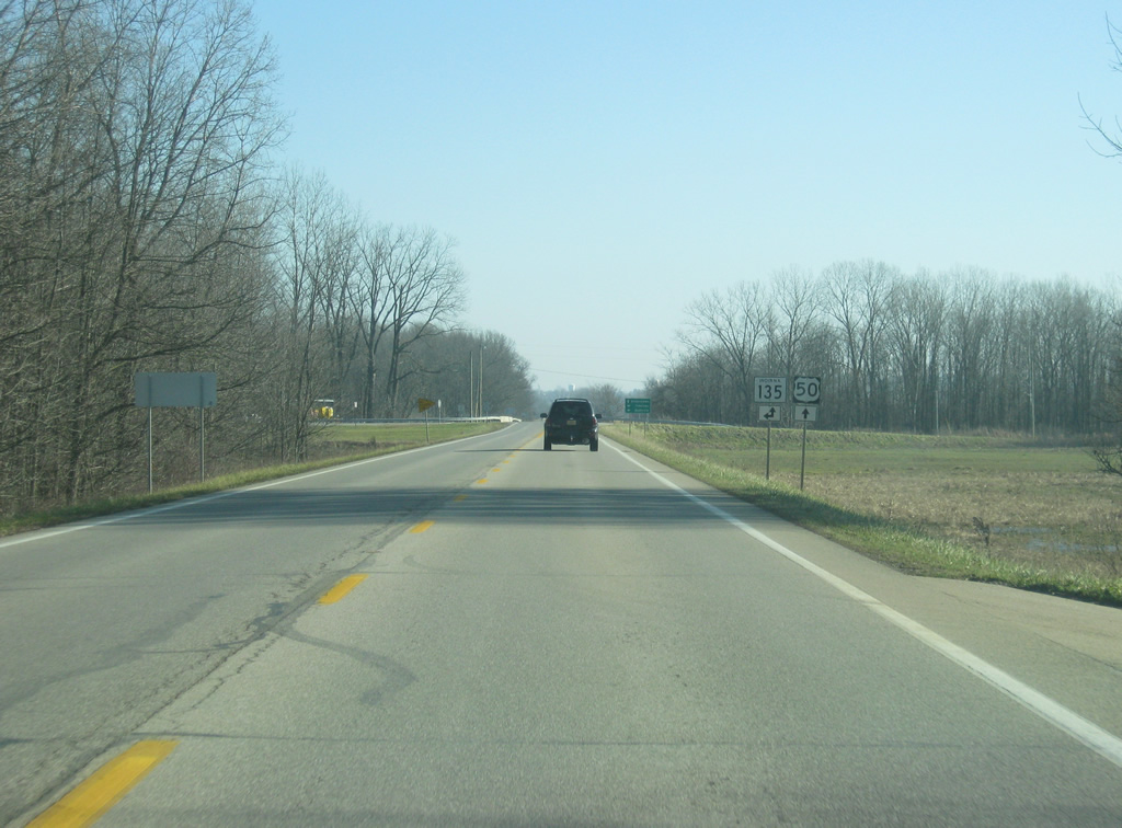
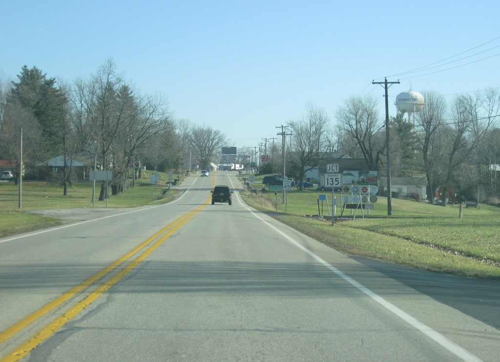
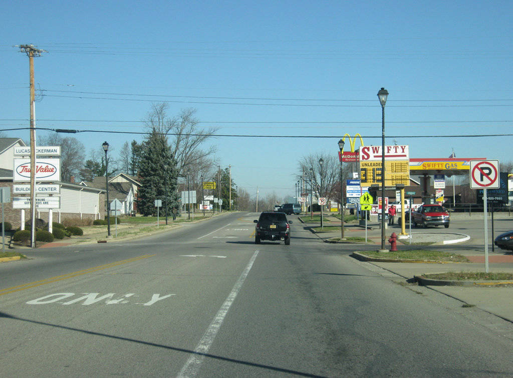
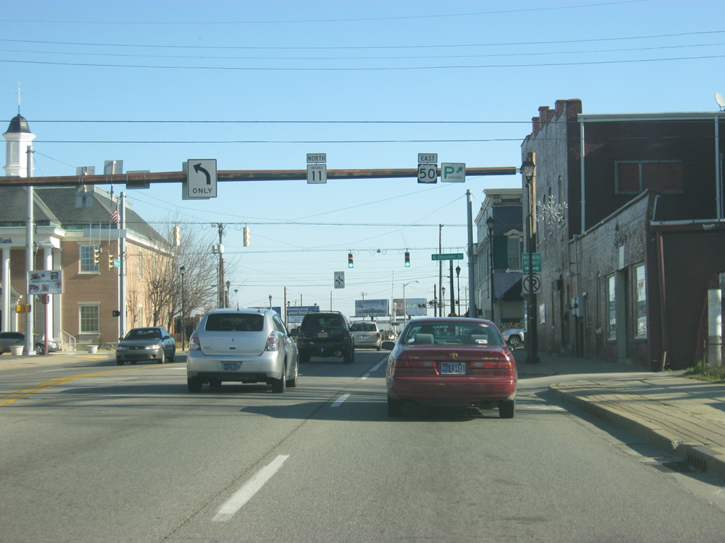
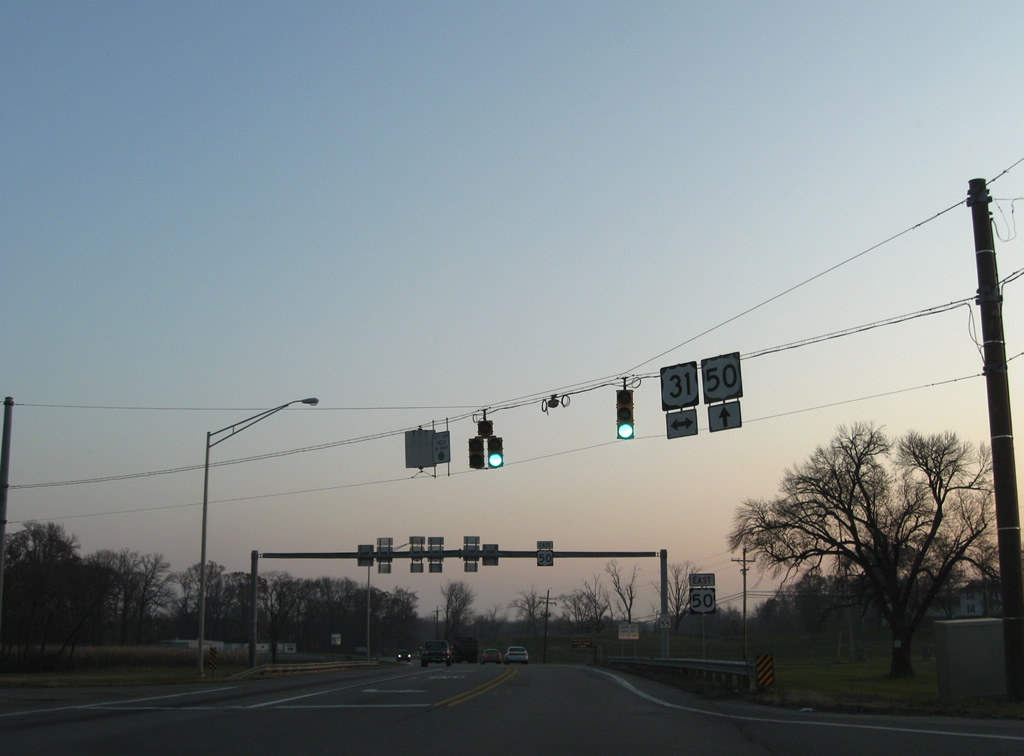
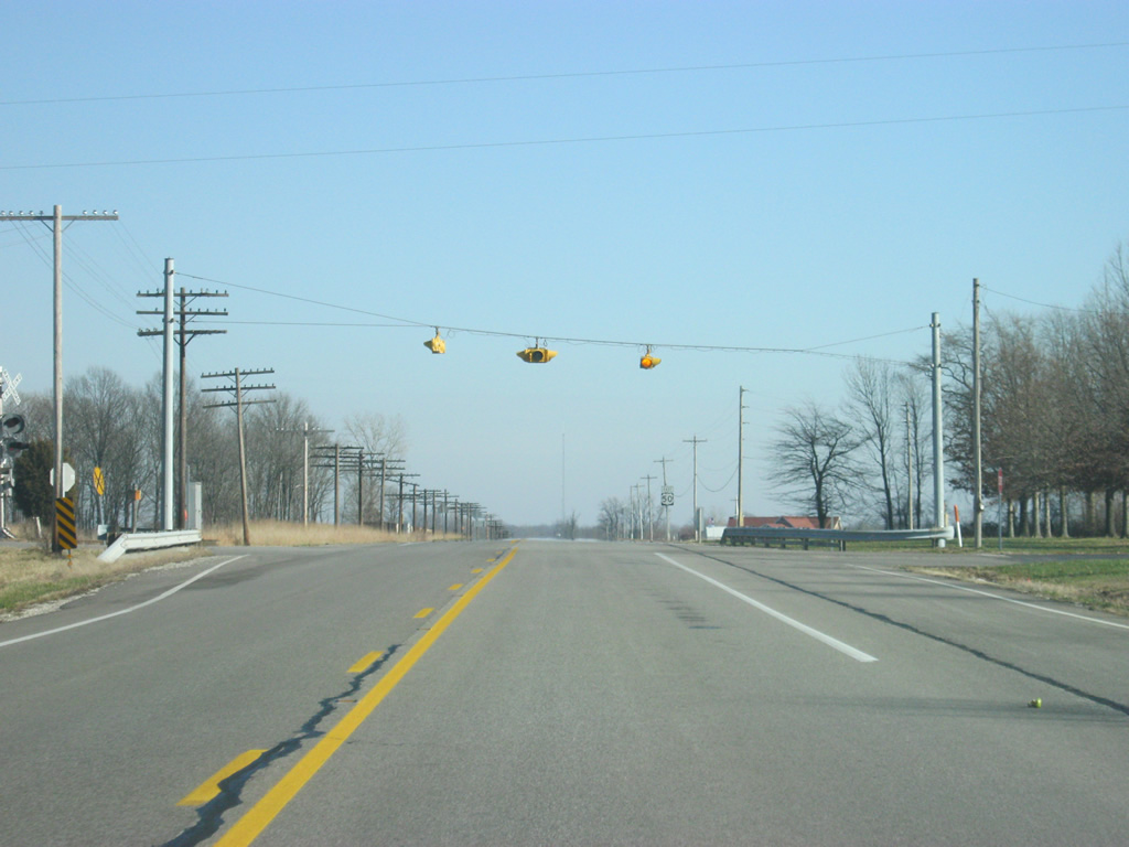
| Now at the junction of U.S. 50 with SR 235. SR 235 goes for only 7.5 miles from U.S. 50 southeast to SR 135 east of Medora. 12/18/11 |
|
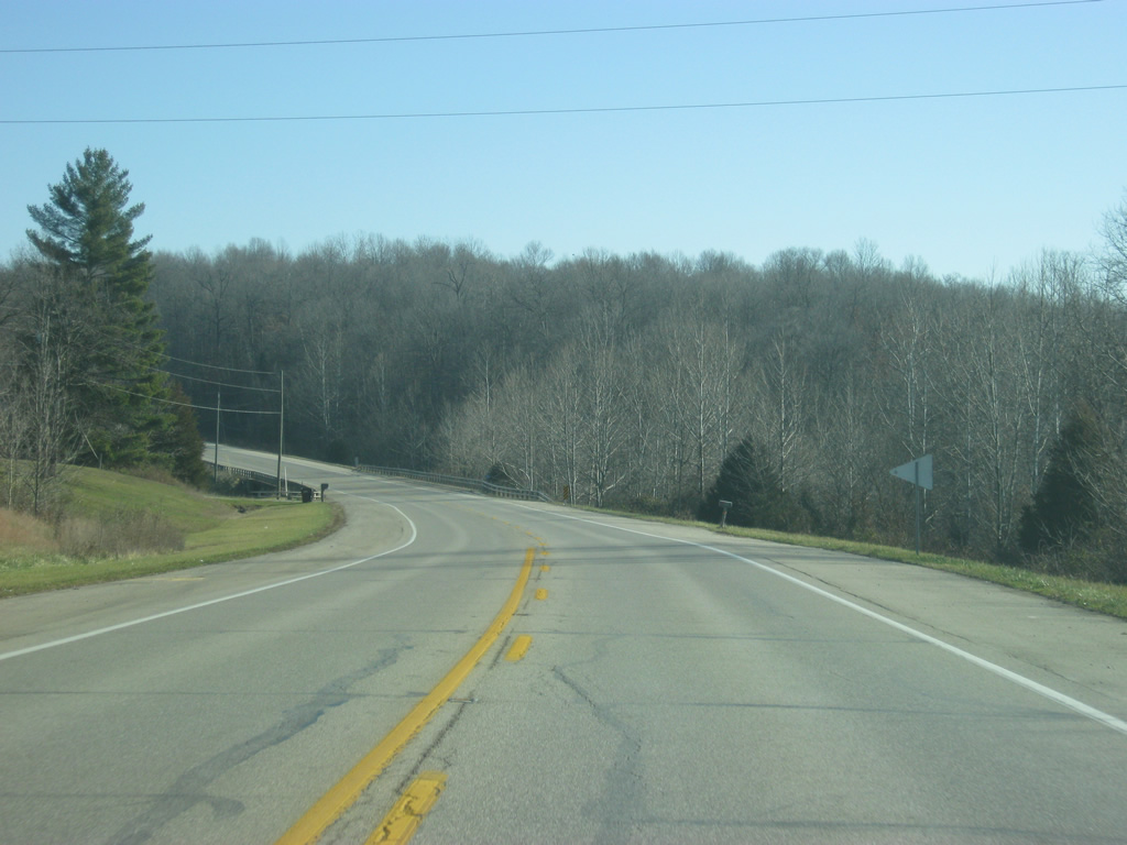
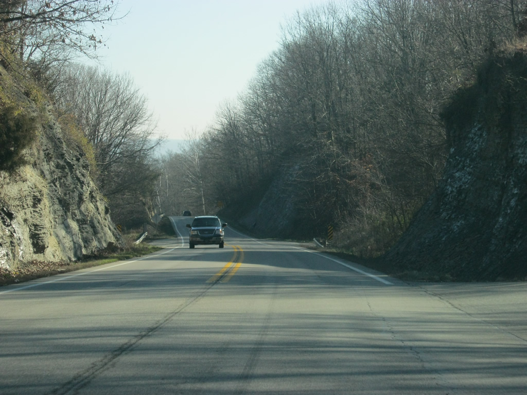
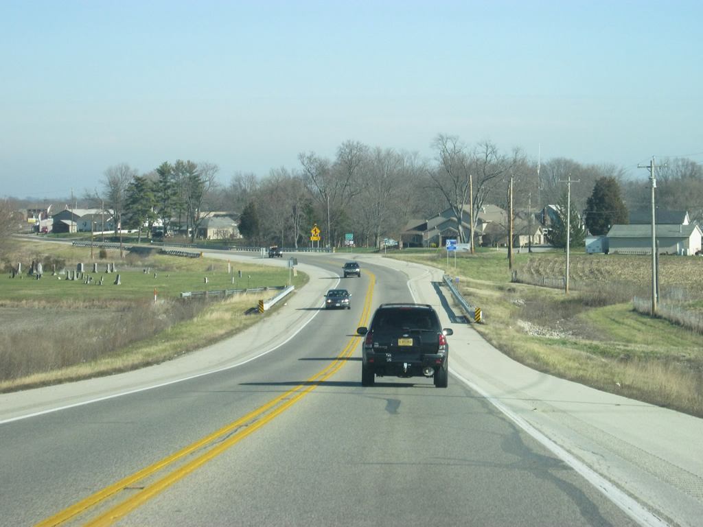
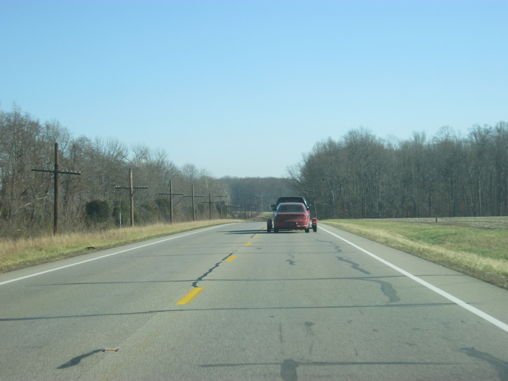
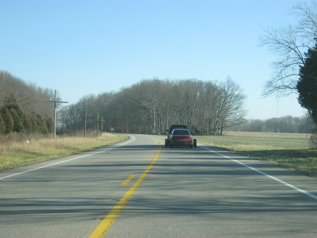
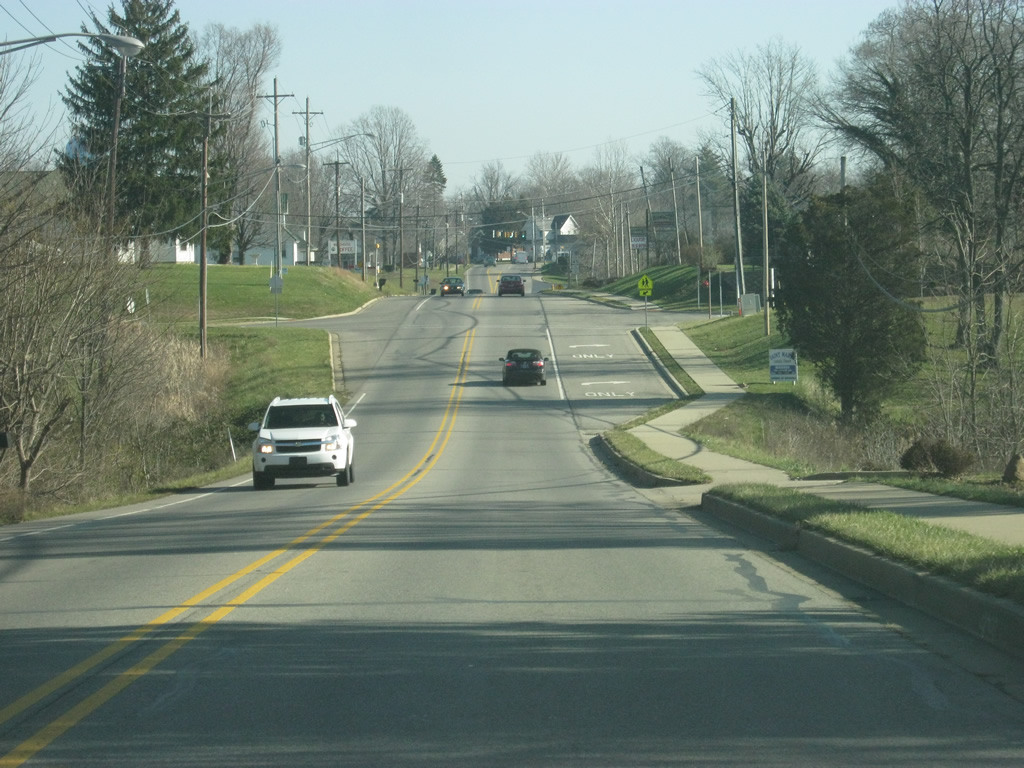
| East of SR 235, Brownstown is now seven miles ahead with Seymour at 17 miles. The terrain that U.S. 50 crosses in the central part of Jackson County is much different from the western part, being much flatter as it heads across the valley of the East Fork of the White River. 12/18/11 |
|
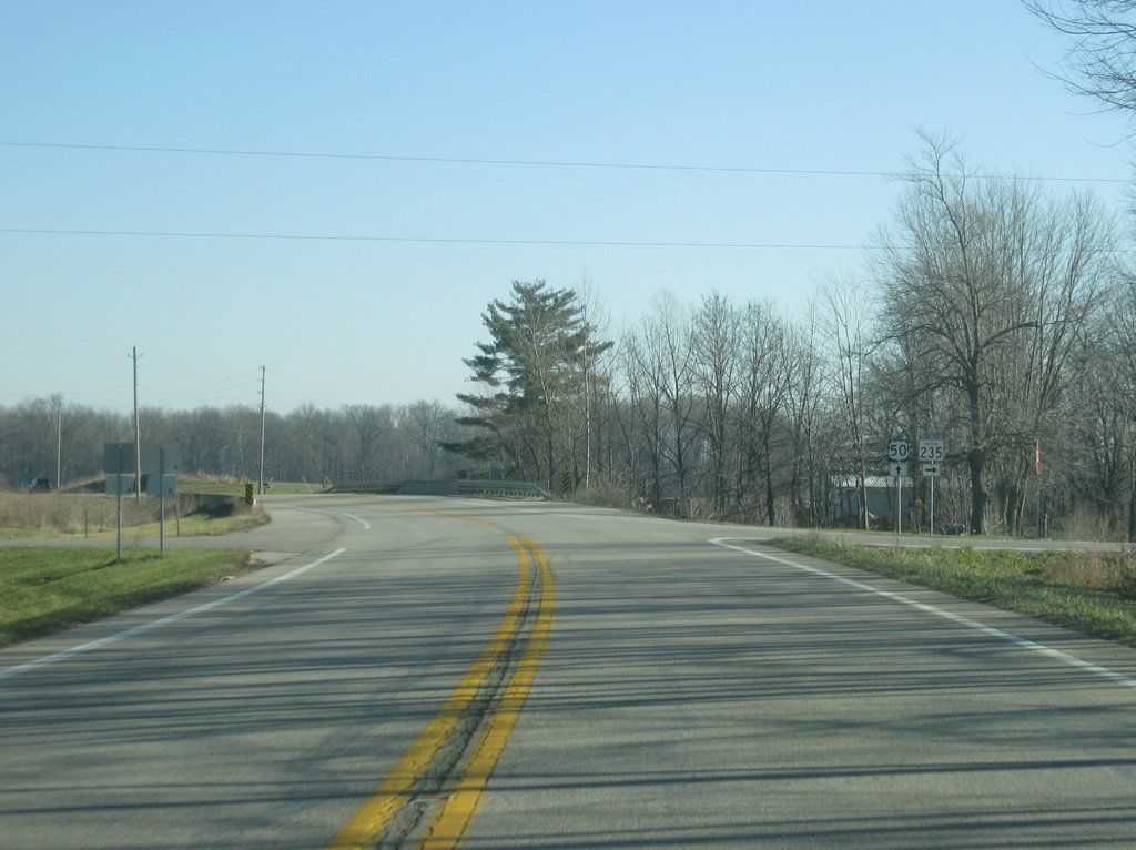
| U.S. 50 now approaches the intersection with SR 135 north. SR 135 is the longest three-digit state highway, going for 138 miles from the south side of Indianapolis to the Ohio River in Harrison County. Originally, the highway was known as SR 35 before U.S. 35 was commissioned in Indiana. 12/18/11 |
|
| Nearing the intersection with SR 135 north. SR 135 will multiplex with U.S. 50 for a few miles into Brownstown. 12/18/11 |
|
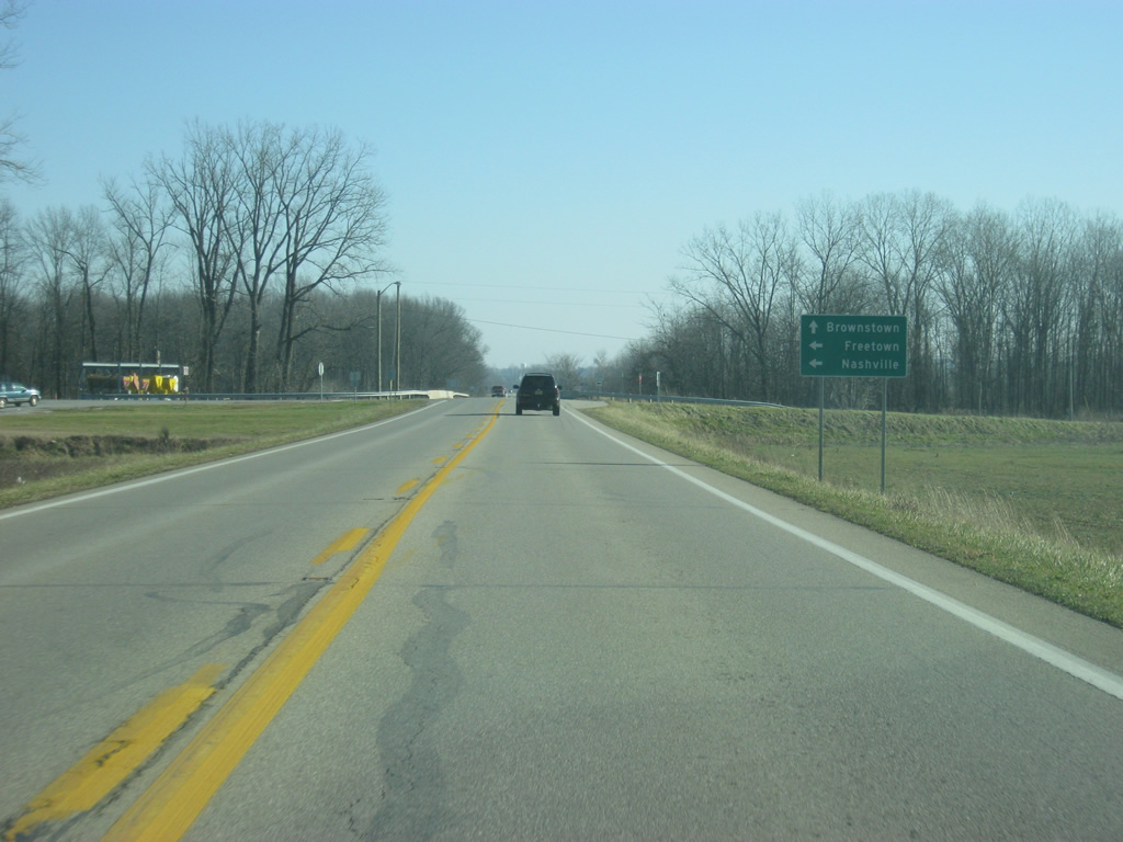
| Freetown and the Brown County seat of Nashville can be reached by taking SR 135 to the north, which goes through the heart of Indiana's hill country across northern Jackson County and Brown County. 12/18/11 |
|
| Reassurance shields for both U.S. 50 and SR 135 south posted east of their merge. 12/18/11 |
|
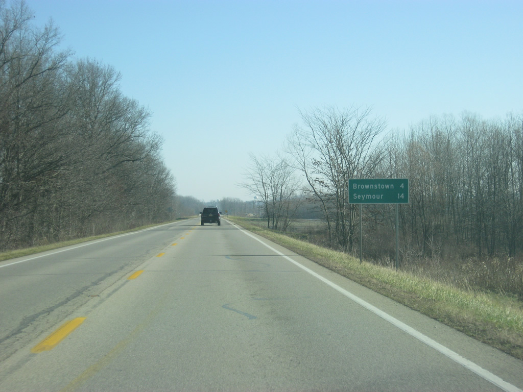
| SR 135 shares less than four miles of pavement with U.S. 50, which is how far Brownstown is. Seymour is 14 miles to the east via U.S. 50. 12/18/11 |
|
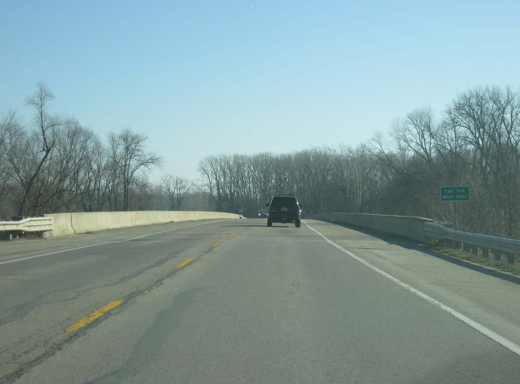
| For the third and final time, U.S. 50 east crosses the East Fork of the White River near Brownstown. 12/18/11 |
|
| Beyond the bridge across the East Fork of the White River, U.S. 50 & SR 135 east enter the town of Brownstown (population 3,000). Brownstown, located in the geographic center of the county, is the county seat for Jackson County. Historically it is the second county seat for Jackson County, which was founded in 1816 prior to Indiana's statehood. Through town, U.S. 50 is known as Commerce Street. 12/18/11 |
|
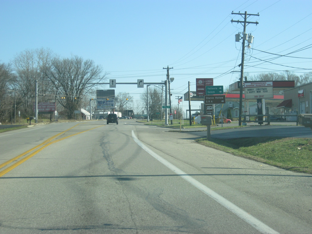
| Nearing the split between U.S. 50 (Commerce Street) and SR 135, both Vallonia and the Washington County seat of Salem can be reached by taking SR 135 to the south. 12/18/11 |
|
| A flasher light marks the intersection between U.S. 50 (Commerce Street) and SR 135 south and Depot Street to the north. 12/18/11 |
|
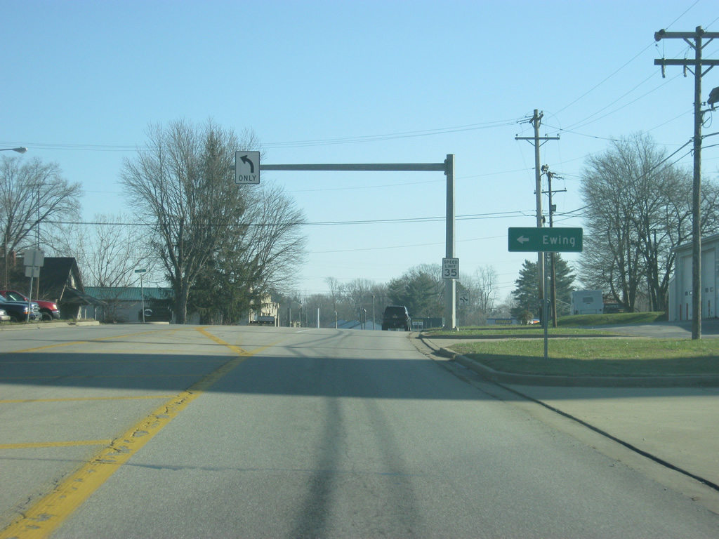
| East of the SR 135 south split, U.S. 50 (Commerce Street) approaches the intersection with Ewing Street, which leads to the small neighborhood of Ewing, located in the northwestern part of Brownstown. 12/18/11 |
|
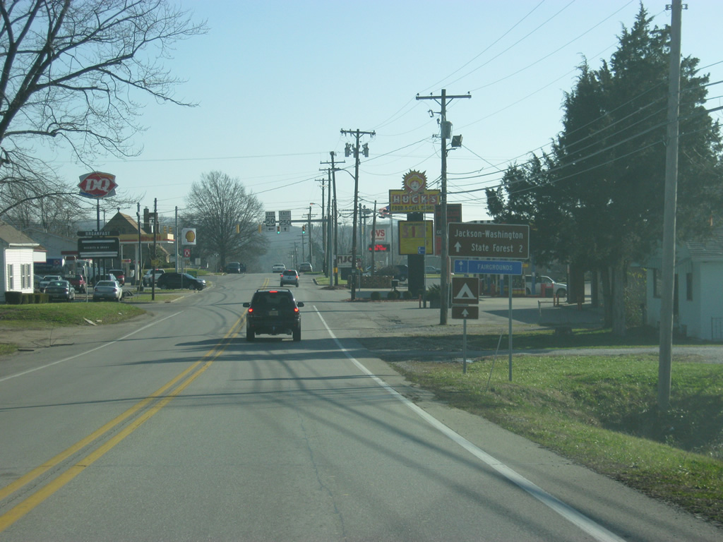
| U.S. 50 (Commerce Street) heads toward the southeast as it follows the street grid of Brownstown to the intersection with SR 250. SR 250 goes for 33 miles from Brownstown to the east to SR 7 in Middlefork. A second segment of the highway goes for another 30 miles from U.S. 421 to Rising Sun on the Ohio River. 12/18/11 |
|
| The Jackson-Washington State Forest is two miles down SR 250 from its junction with U.S. 50. 12/18/11 |
|
| U.S. 50 turns northward from Commerce Street at the SR 250 eastbound beginning for Main Street. SR 250 continues Commerce Street southeast out of town to the County Fairgrounds. 12/18/11 |
|
| U.S. 50 heads north along Main Street through the heart of Downtown Brownstown. The Jackson County courthouse can be seen in the right, along a square that is located to the east of Main Street. 12/18/11 |
|
| Passing through Downtown Brownstown along U.S. 50 (Main Street). The Jackson County courthouse is to the right of the picture. 12/18/11 |
|
| A view of U.S. 50 (Main Street) to the north of Downtown Brownstown at Bridge Street. 12/18/11 |
|
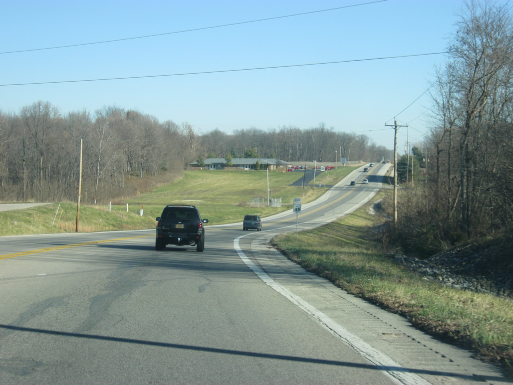
| U.S. 50 leaves Brownstown to the northeast of town. Seymour, the largest community in Jackson County is now ten miles from here. 12/18/11 |
|
| U.S. 50 between Brownstown and Seymour is a busy two lane highway as it connects the largest city in the county with the county seat. 12/18/11 |
|
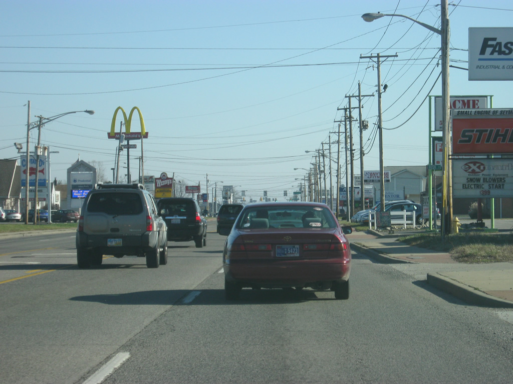
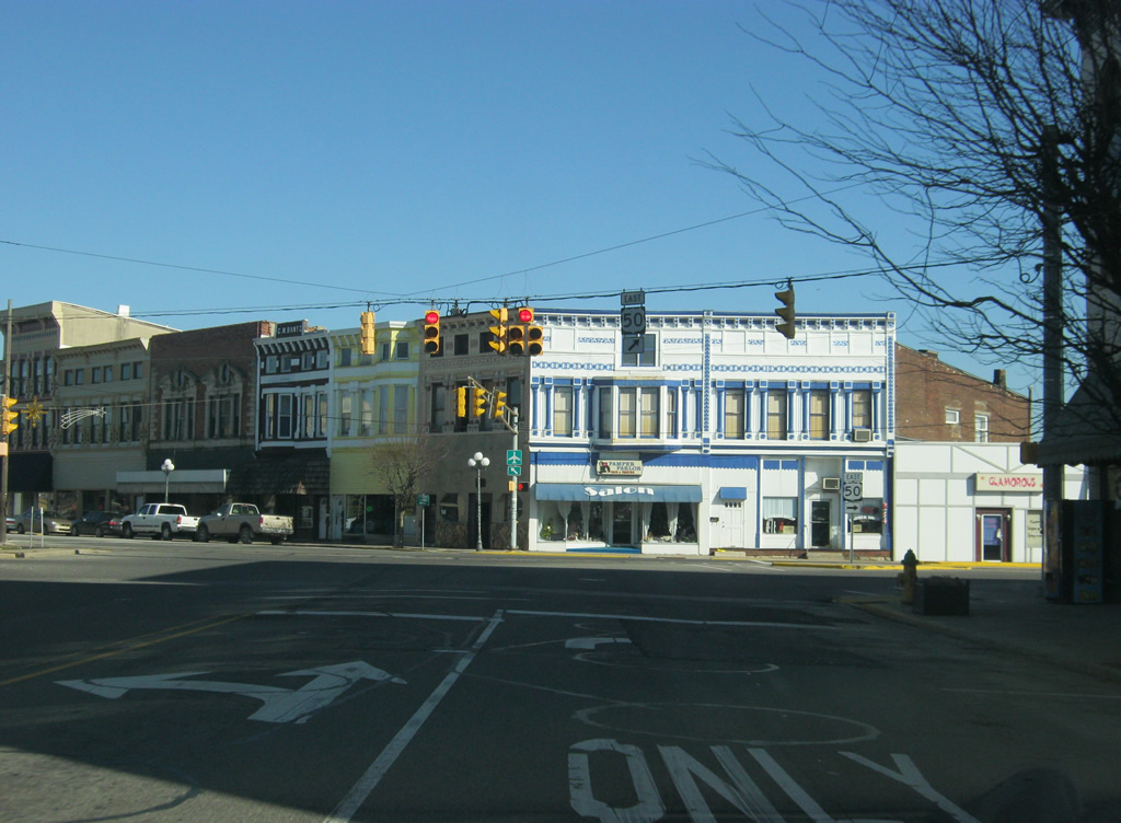
| U.S. 50 enters the city of Seymour (population 17,503). Seymour is the largest community along U.S. 50 between Vincennes and Cincinnati, Ohio and is the regional hub for the surrounding area of Jackson and Jennings Counties. In town, U.S. 50 is known as Tipton Street. 12/18/11 |
|
| U.S. 50 expands to four lanes as it travels across the west side of Seymour. 12/18/11 |
|
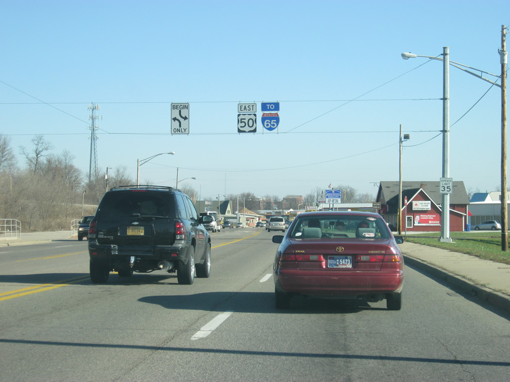
| Just east of the intersection with Community Drive, an Interstate 65 shield directs traffic toward the freeway that can be reached by taking U.S. 50 across Seymour. 12/18/11 |
|
| A view of U.S. 50 (Tipton Street) approaching Downtown Seymour. Throughout town, U.S. 50 (Tipton Street) maintains four lanes of traffic. 12/18/11 |
|
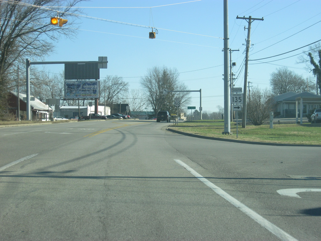
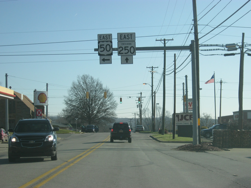
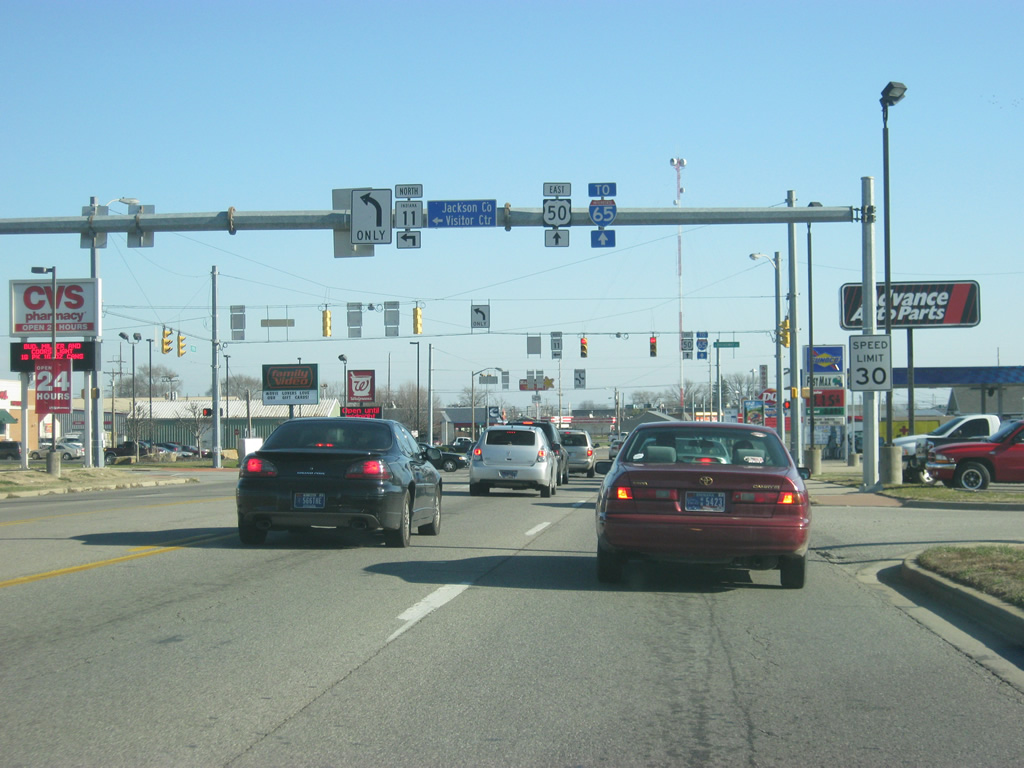
| U.S. 50 (Tipton Street) passes by the Schneck Medical Center as it approaches the junction with SR 11 south. SR 11 exists in two segments, one in Floyd and Harrison Counties and the other in Jackson and Bartholomew Counties. The northern segment goes for 26 miles from SR 46 in Columbus to SR 250 in Dudleytown. 12/18/11 |
|
| U.S. 50 (Tipton Street) approaches the junction with SR 11 south (Walnut Street). SR 11 follows U.S. 50 for about four blocks as it bypasses Downtown Seymour to the north. 12/18/11 |
|
| U.S. 50 east & SR 11 north combine along Tipton Street in this scene ahead of Chestnut Street. Chestnut Street leads north into the heart of Downtown Seymour. 12/18/11 |
|
| U.S. 50 & SR 11 (Tipton Street) crosses the Louisville and Indiana Railroad. The junction between the Louisville and Indiana Railroad and the CSX Railroad (originally the Baltimore and Ohio Railroad) one block to the north made Seymour a crossroads between the two lines, helping to make Seymour into a bustling community, more so than Brownstown to the southwest. 12/18/11 |
|
| U.S. 50 east & SR 11 north (Tipton Street) approaches the intersection with Broadway Street, which will carry SR 11 to the north. Another Interstate 65 shield directs traffic toward the east. 12/18/11 |
|
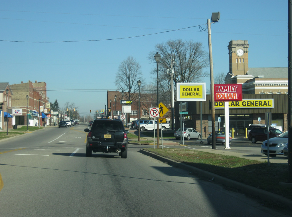
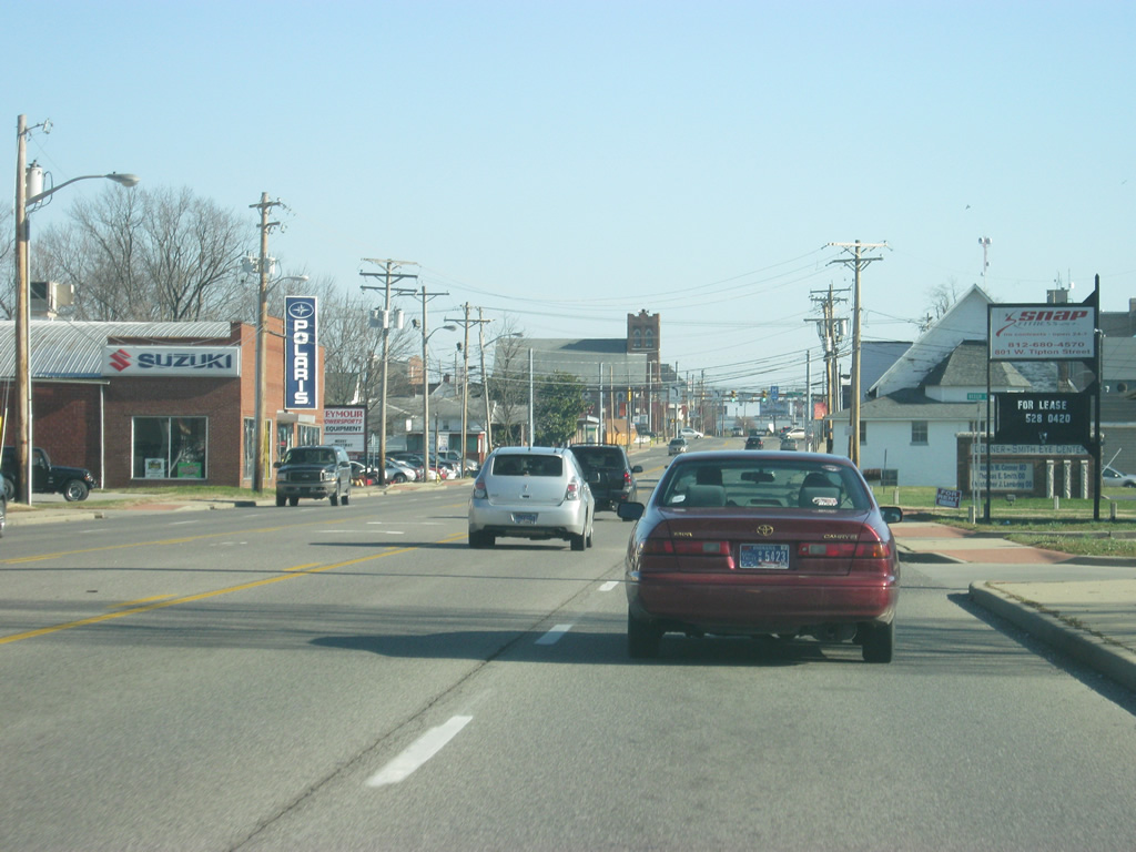
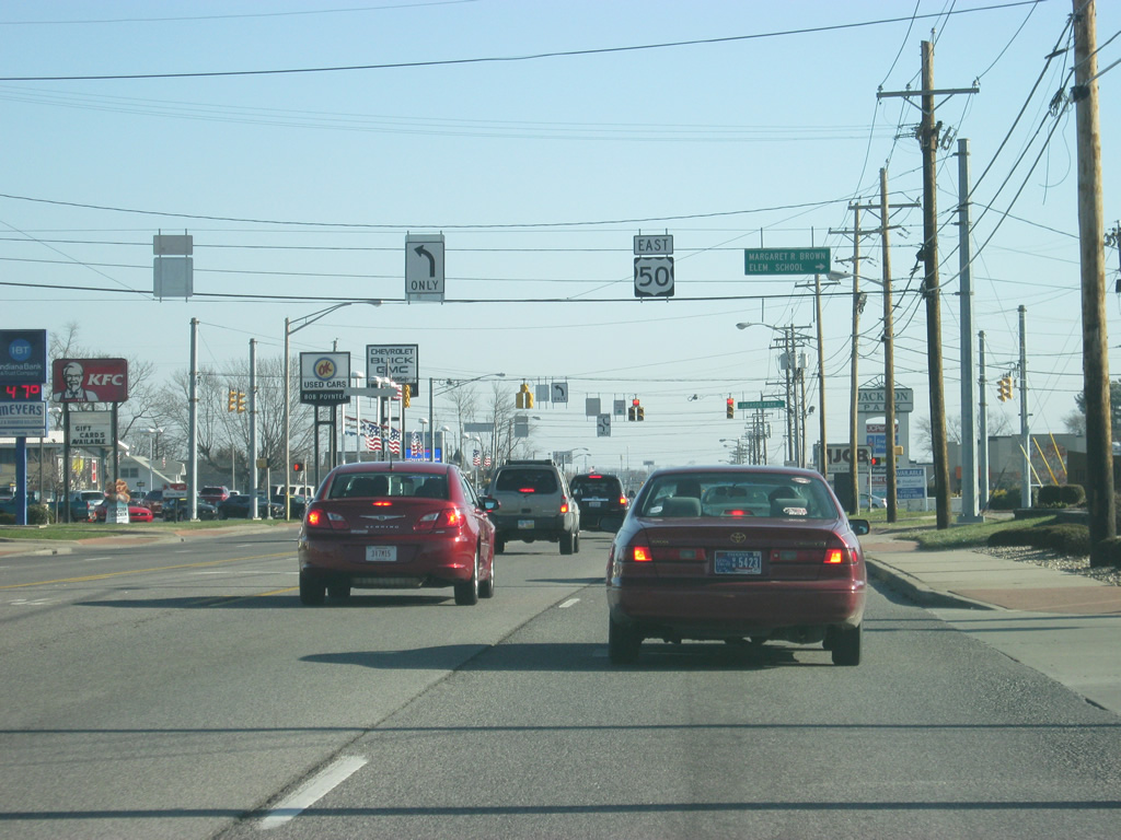
| East of Downtown Seymour, U.S. 50 (Tipton Street) becomes more commercialized as it traverses a long strip of retail from here to the Interstate 65 interchange. 12/18/11 |
|
| Now approaching the intersection with Jackson Park Drive, which leading south to an adjacent residential area and Margaret R. Brown Elementary School. 12/18/11 |
|
| Another reassurance shield for both U.S. 50 and Interstate 65 to the east of Burkhart Boulevard. 12/18/11 |
|
| Continuing east from Meadowbrook Drive, U.S. 50 remains a busy, four lane highway with various shopping centers, restaurants and hotels to serve both the residents of Seymour and travelers along forthcoming Interstate 65. 12/18/11 |
|
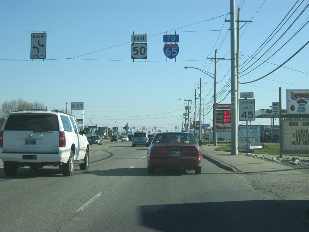
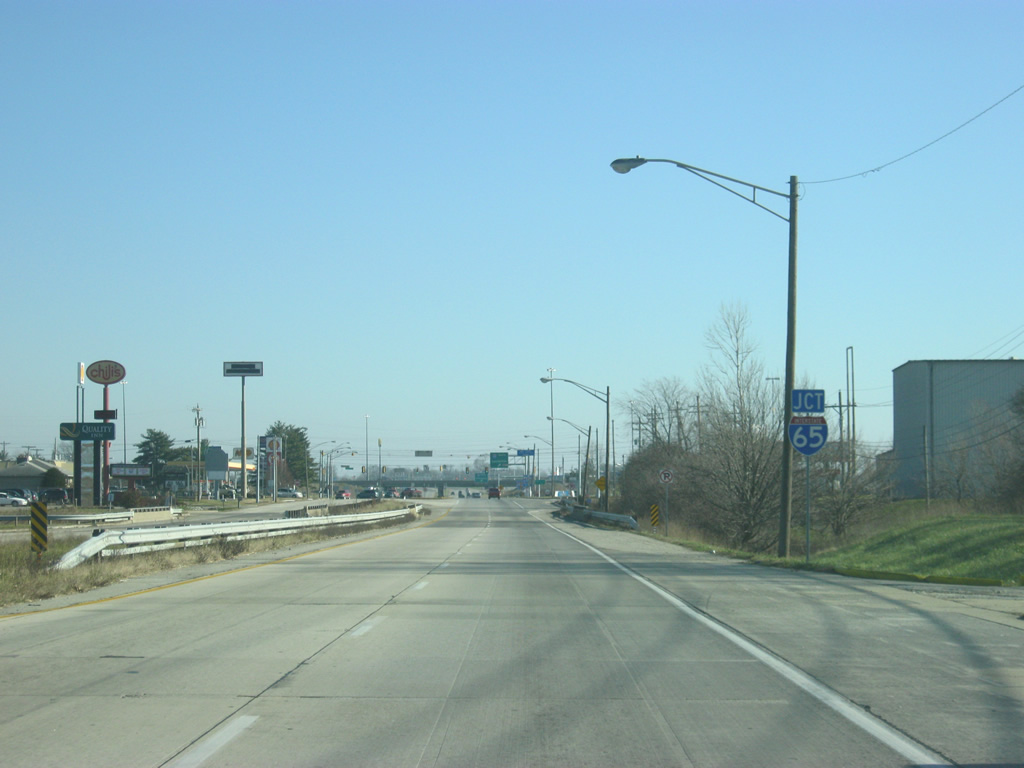
| Now approaching the Interstate 65 freeway. Interstate 65 stays east of Seymour on the 100 mile drive between Interstate 265 at Clarksville and Interstate 465 at Indianapolis. The junction between U.S. 50 (Tipton Street) and Interstate 65 is served by a cloverleaf interchange. 12/18/11 |
|
| Now at the interchange with Interstate 65. The first ramp follows onto Interstate 65 south to the Falls City area of Indiana and adjacent Louisville, Kentucky. 12/18/11 |
|
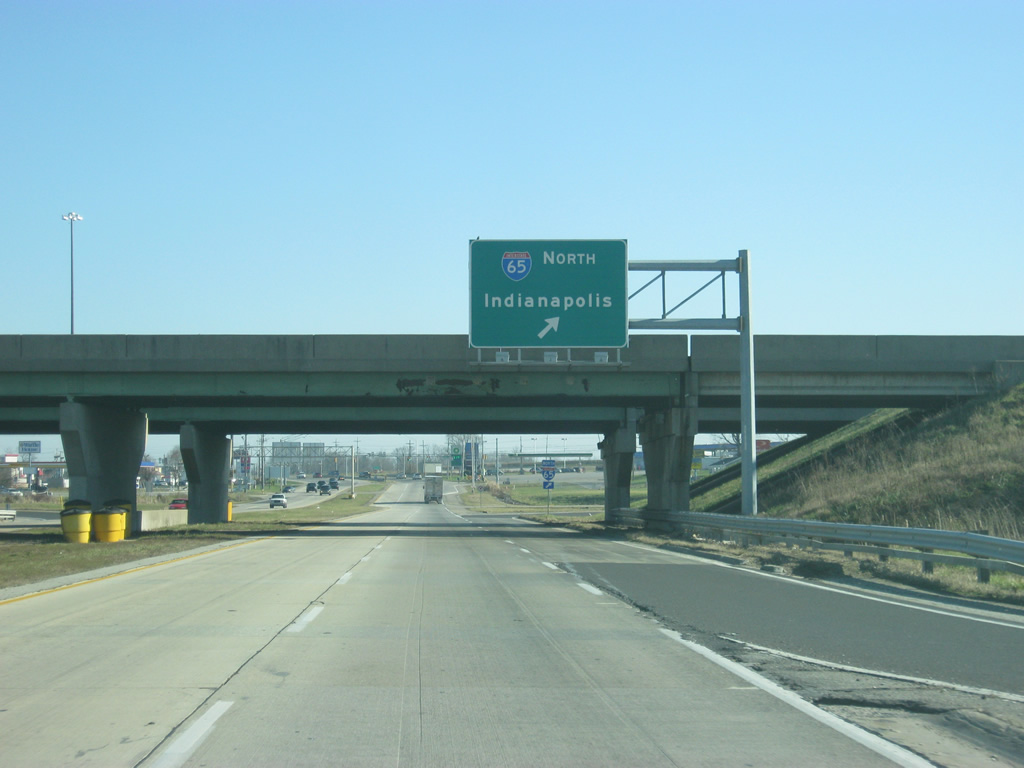
| A loop ramp takes travelers north toward Columbus, Franklin, and Indianapolis along Interstate 65. 12/18/11 |
|
| Just east of the cloverleaf interchange with Interstate 65 is the signalized intersection with Commerce Drive south and Stevens Way north. Commerce Drive comprises a northbound side frontage road to I-65 to County Road 400 North. Stevens Way connects the four lane divided highway with an Outlet center to the north. 11/05/09 |
|
| U.S. 50 curves northward and reduces to two lanes at a somewhat rural intersection with U.S. 31. U.S. 31 generally serves local traffic interests as it parallels Interstate 65 south through Muscatatuck National Wildlife Refuge and north to Reddington. 12/18/11 |
|
| Entering the signalized intersection with U.S. 31 on U.S. 50 east. A 258 mile route, U.S. 31 enters Indiana at Clarksville from Kentucky and exits to Michigan near South Bend. All of the route south of Indianapolis was supplanted by Interstate 65. North of the capital city, the route remains a busy corridor with upgrades underway to South Bend. 11/05/09 |
|
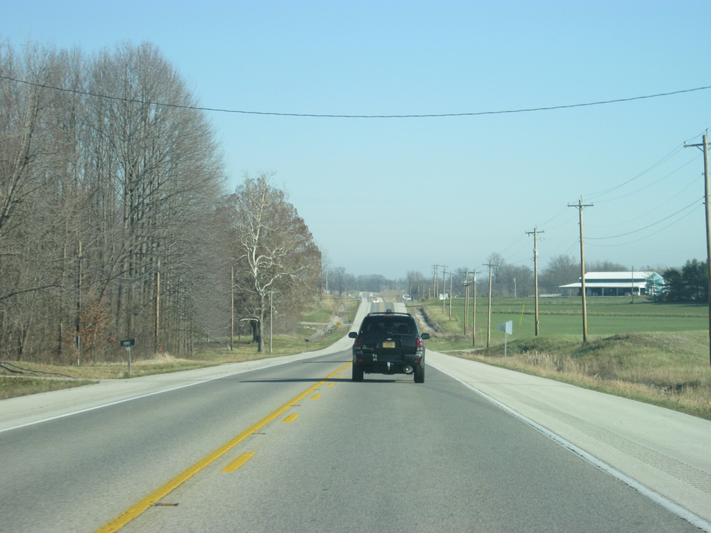
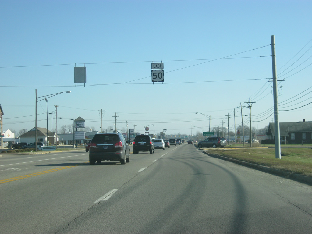
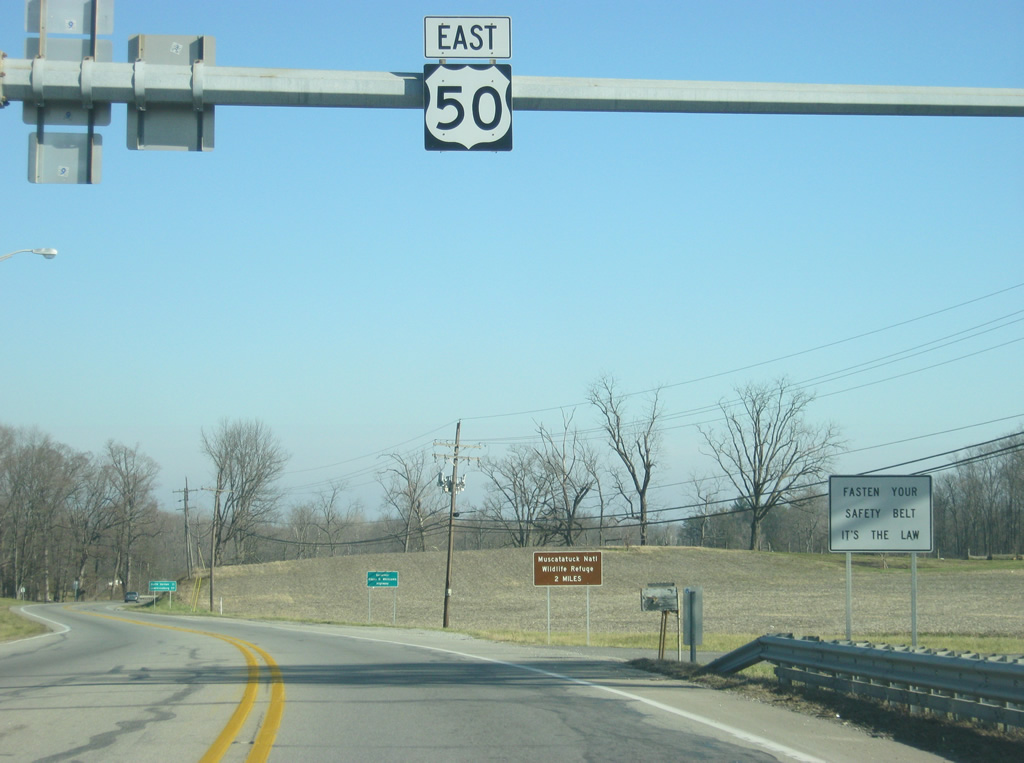
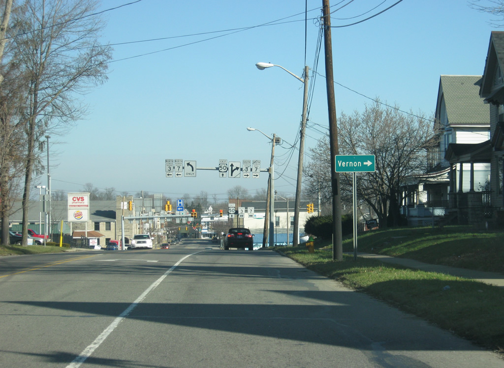
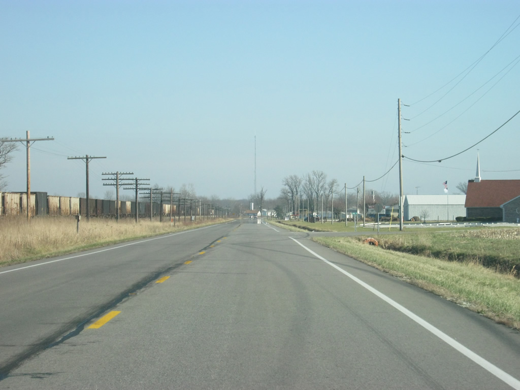
| U.S. 50 continues east from U.S. 31 and skims northern reaches of Muscatatuck National Wildlife Refuge on the 13 mile drive to North Vernon. The stretch of U.S. 50 from Seymour east into Jennings County was named in honor of former governor Edgar D. Whitcomb. 12/18/11 |
|
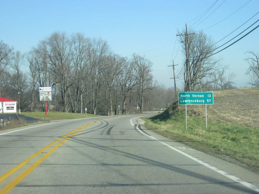
| North Vernon, at the junction with SR 3 and 7, is 13 miles away. Lawrenceburg, a city along the Ohio River served by Interstate 275, is 57 miles to the east. 12/18/11 |
|
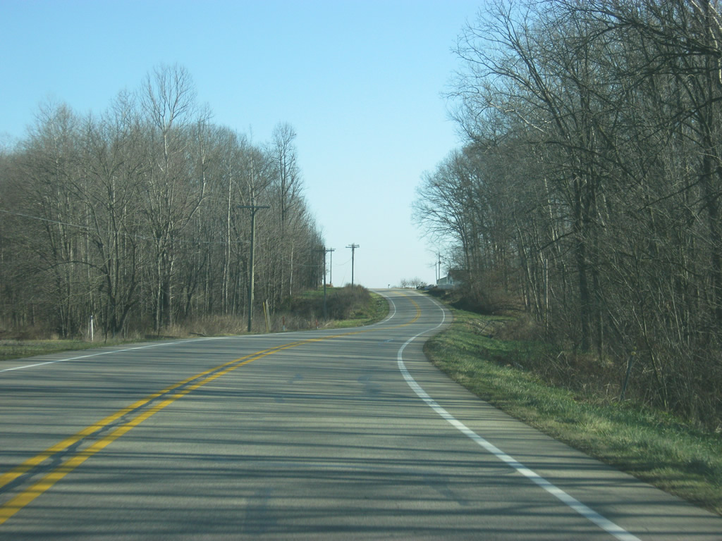
| U.S. 50 follows the northern edge of the Muscatatuck National Wildlife Refuge as it prepares to leave Jackson County. Pictured in this scene is the crossing over Mutton Creek. 12/18/11 |
|
| U.S. 50 enters Jennings County (population 28,525). 12/18/11 |
|
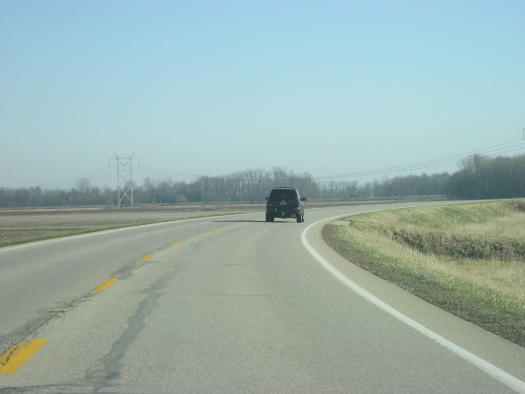
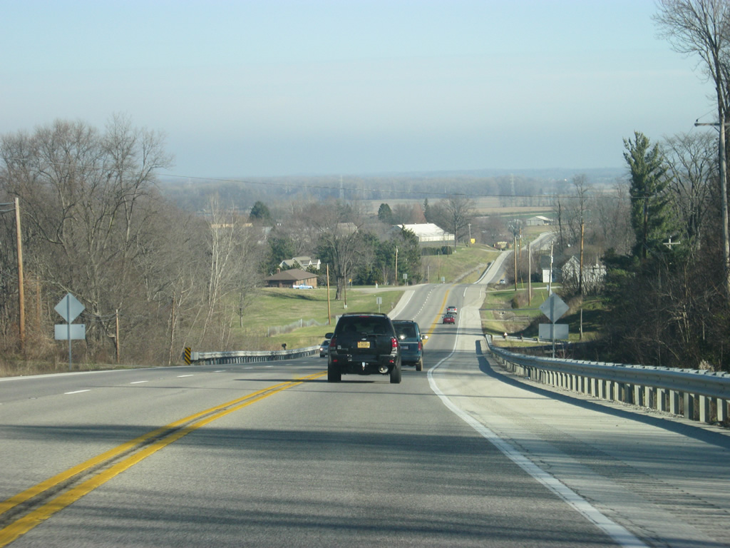
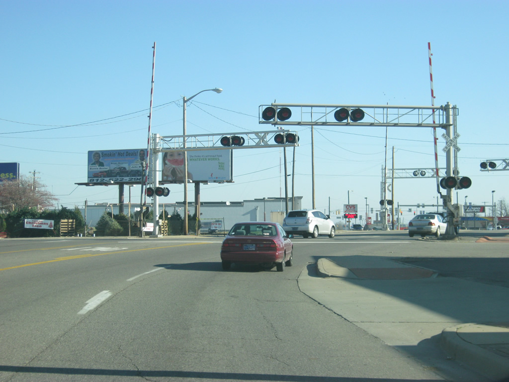
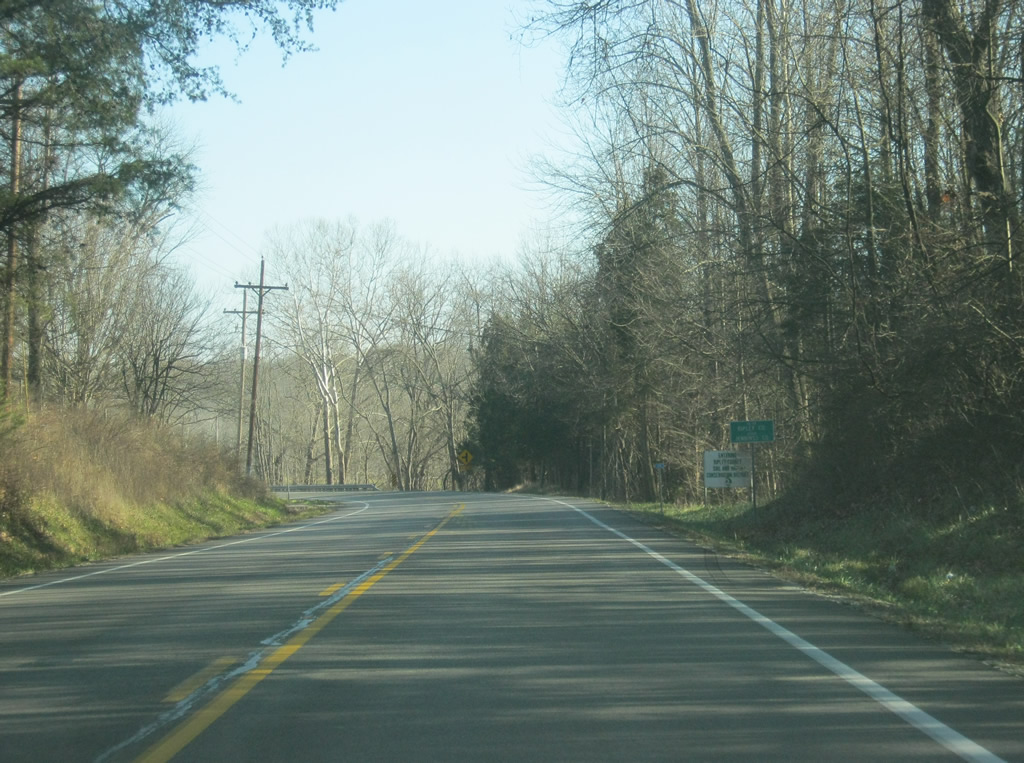
| A view of U.S. 50 east of the Jennings-Jackson County Line. U.S. 50 carries a decent amount of traffic between Seymour and North Vernon. Along with a new proposed bypass of North Vernon by U.S. 50, plans are also in the works to improve some of the intersections along this stretch of highway. 12/18/11 |
|
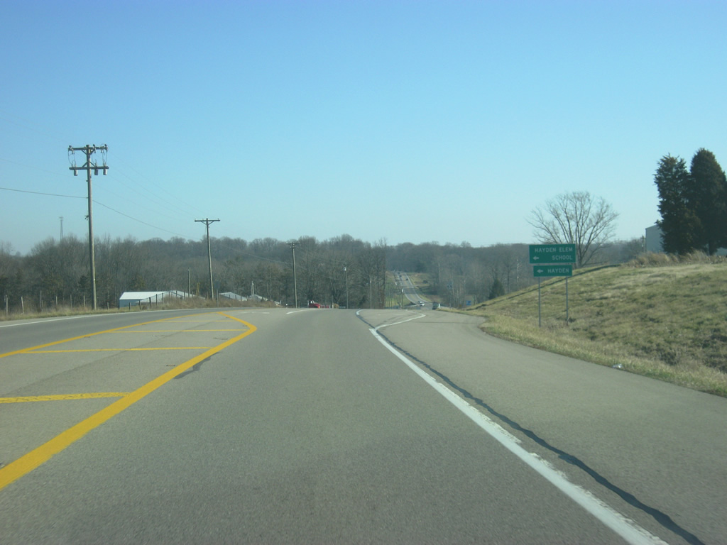
| Now at the intersection with County Road 700 West, serving the town of Hayden to the north of U.S. 50. 12/18/11 |
|
| U.S. 50 passes by a few businesses that serve the community of Hayden to County Road 580 West. 12/18/11 |
|
| U.S. 50 follows the CSX railroad track part of the way from between Hayden and North Vernon. 12/18/11 |
|
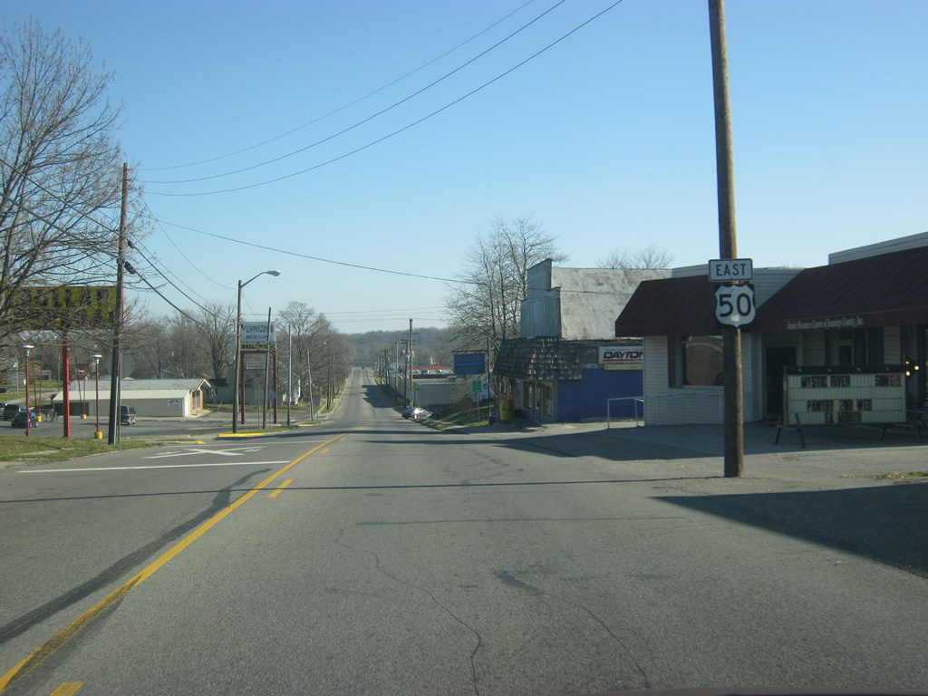
| Just past this curve, the CSX railroad track veers to the northeast while U.S. 50 continues toward the east. It is at this point where the new partial bypass for U.S. 50 will be verging off of the current U.S. 50. The partial bypass will consist of a two lane road that will connect with SR 7 and SR 3 to the north, connecting the commercial centers of the county with U.S. 50 and points west including Seymour and Interstate 65. The first stage of the project is expected to be finished in 2013. Plans to complete the rest of the bypass have not been confirmed, so U.S. 50 will continue to go town for the time being. 12/18/11 |
|
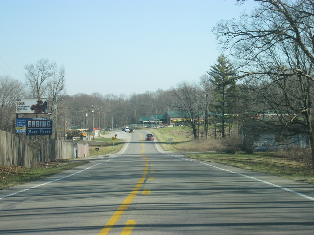
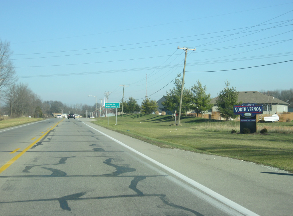
| U.S. 50 curves toward the northeast as it approaches the city of North Vernon. 12/18/11 |
|
| U.S. 50 enters the city of North Vernon (population 6,728). As with both Martin and Jackson Counties, North Vernon is not the county seat but is nevertheless the county's largest population setting. Like Seymour, the intersection of two railroads brought more people into North Vernon as opposed to the town of Vernon, the county seat which lies to the immediate south. 12/18/11 |
|
| U.S. 50 turns eastward as it enters North Vernon. In town, the road carries the name of Walnut Street. 12/18/11 |
|
| Traveling east along Walnut Street toward Norris Avenue through North Vernon. 12/18/11 |
|
| Traffic reduces to 30 miles per hour as U.S. 50 (Walnut Street) makes a turn to the northeast at the intersection with Norris Avenue. The highway follows the city grid which is aligned to the railroads that went town. 12/18/11 |
|
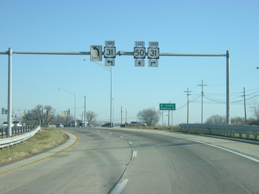
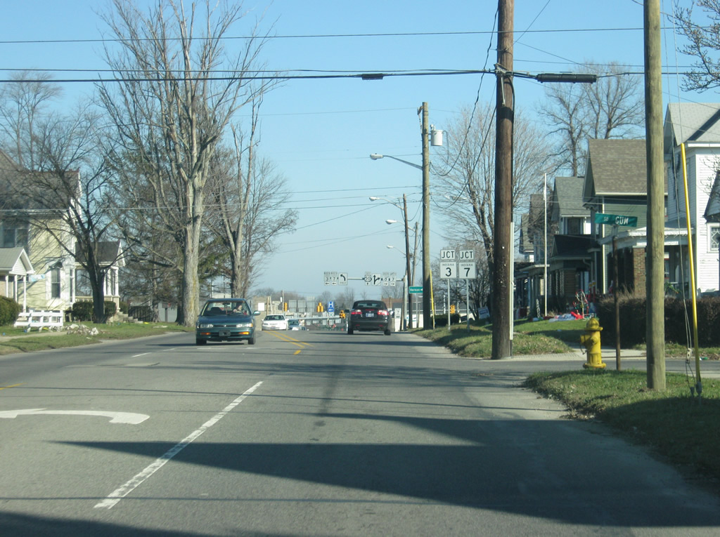
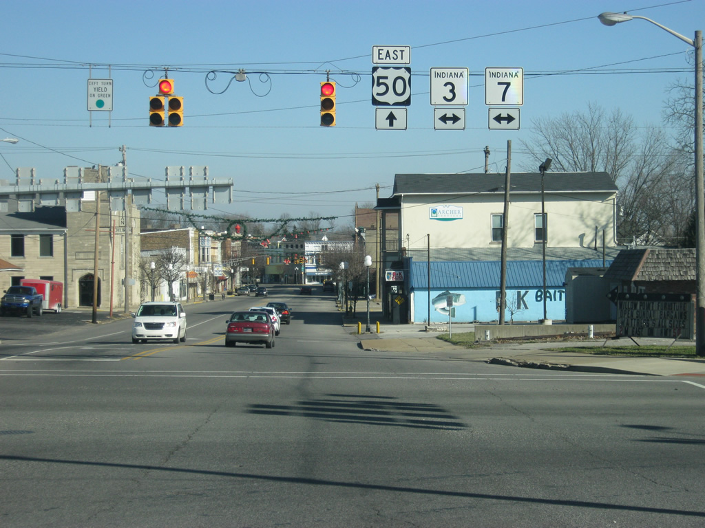
| Going northeast, U.S. 50 (Walnut Street) approaches the intersection with SR 3 & 7 (State Street). SR 3 goes for 223 miles in two segments, from Charlestown to the south and north through North Vernon, Greensburg, Rushville, New Castle, Muncie, Hartford City to an end in Markle. The second segment goes from Fort Wayne north to Brighton where it ends. 12/18/11 |
|
| The town of Vernon can be reached by taking SR 3 & 7 (State Street) south for a couple of miles. SR 7 totals 41 miles from Madison to the south to Columbus to the north. SR 7 multiplexes with SR 3 for about three miles from Vernon to the north side of North Vernon. 12/18/11 |
|
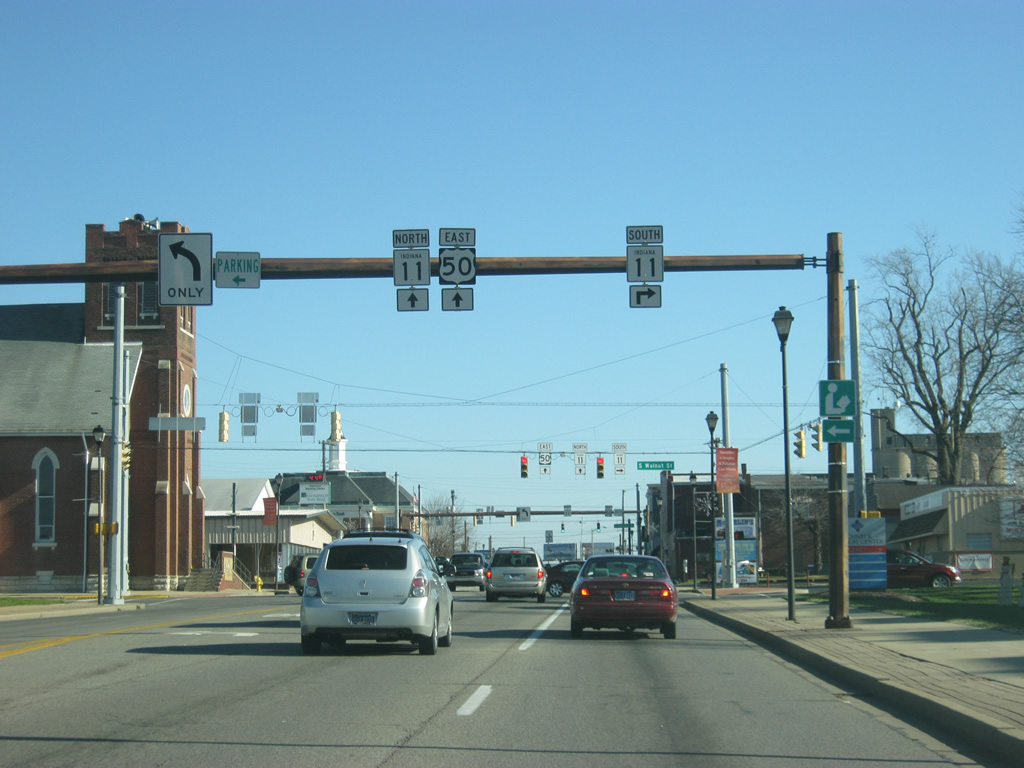
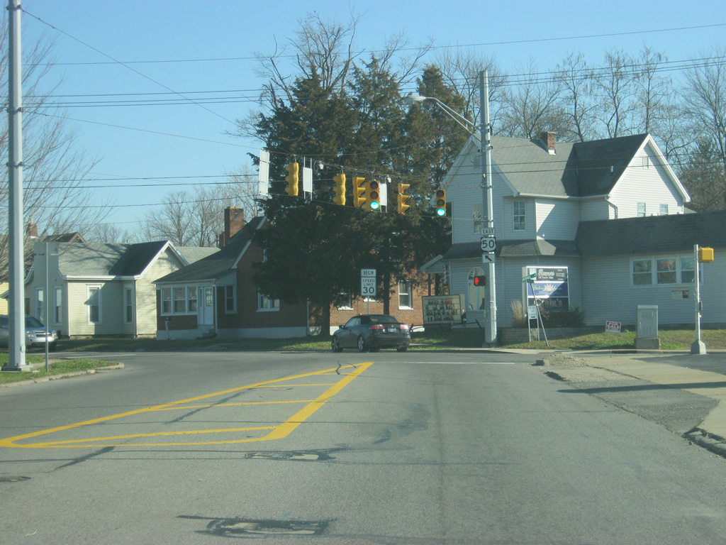
| Now at the intersection of U.S. 50 (Walnut Street) and SR 3 & 7 (State Street). This is the major crossroads for Jennings County and easily the busiest stoplight in town. 12/18/11 |
|
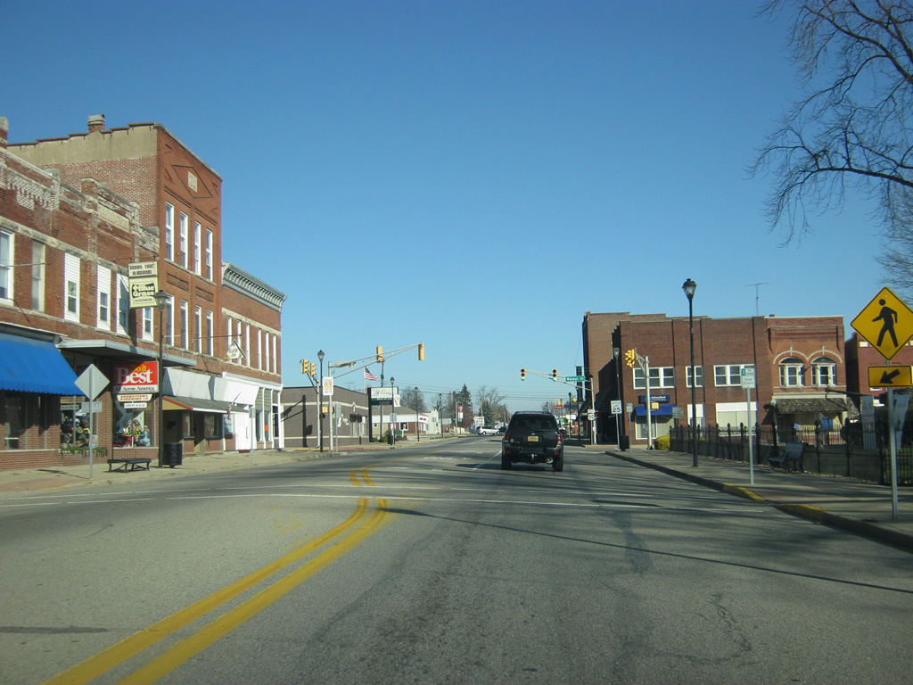
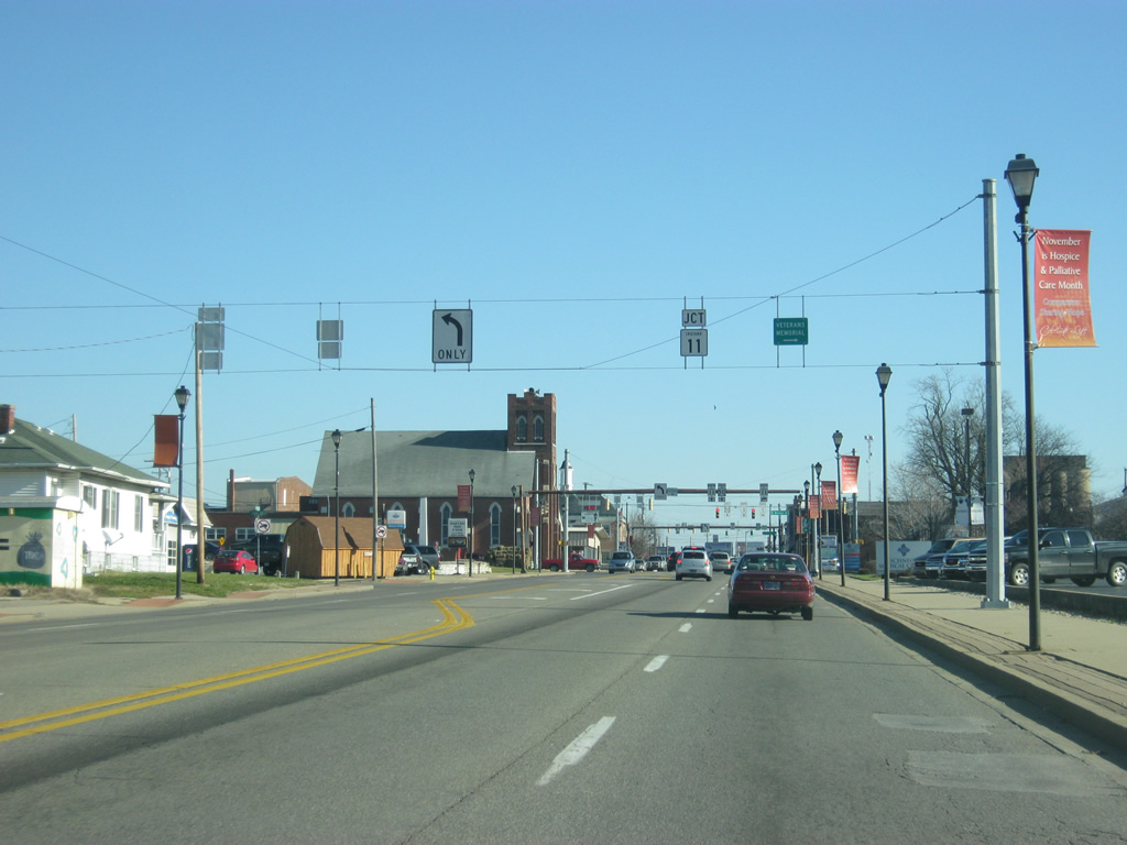
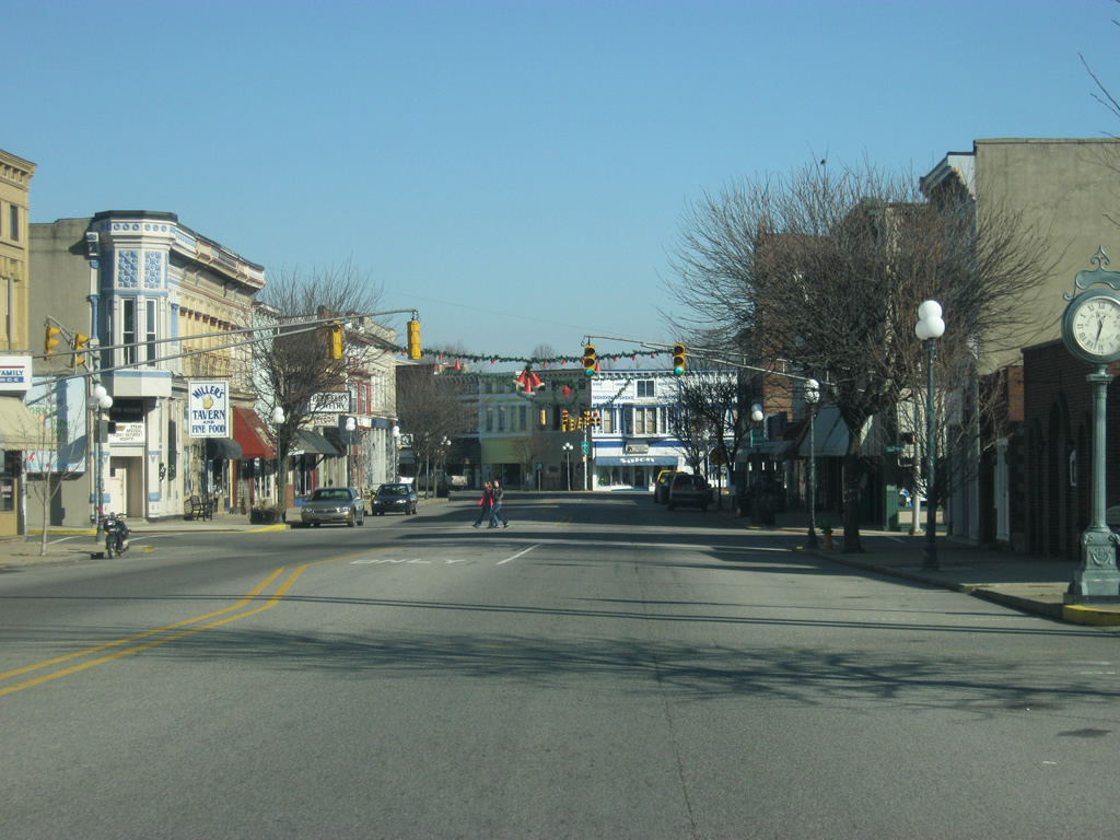
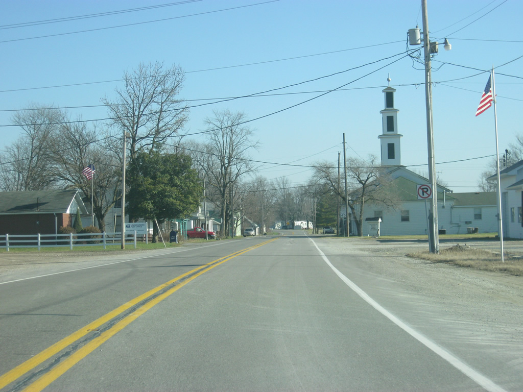
| U.S. 50 bisects the heart of Downtown North Vernon which is well preserved and viable despite further commercial development along SR 3 & 7 (State Street). A signalized intersection with Jackson Street is visible in this scene. 12/18/11 |
|
| U.S. 50 continues through the city center one block from Jackson Street to Madison Avenue, 5th Street and Buckeye Street. 12/18/11 |
|
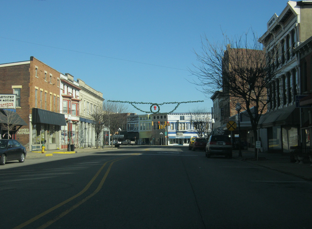
| U.S. 50 at the intersection with 5th, Madison and Short Streets. This is a confusing intersection, but U.S. 50 eastbound traffic has to simply continue to the right where the road combines with Buckeye Street. To add to the mix, the Madison Railroad crosses the intersection at its center. 12/18/11 |
|
| East of Downtown North Vernon, U.S. 50 follows Buckeye Street to the east side of the city. 12/18/11 |
|
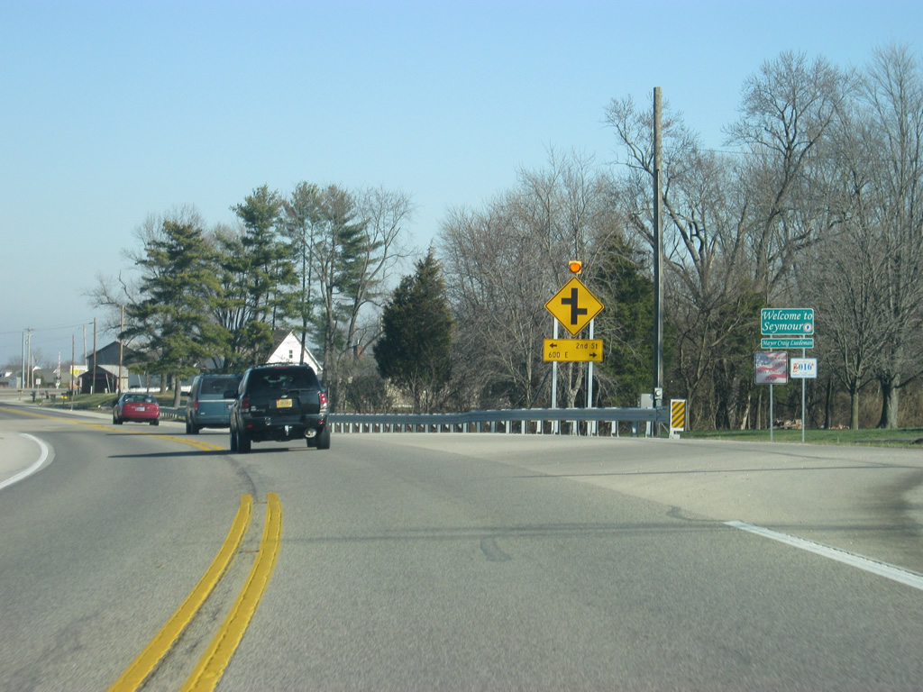
| Now outside of North Vernon, it is 20 miles to the Ripley County seat of Versailles. Cincinnati, Ohio appears for the first time on a distance sign for U.S. 50 in Indiana. From North Vernon, the Queen City is 72 miles away. 12/18/11 |
|
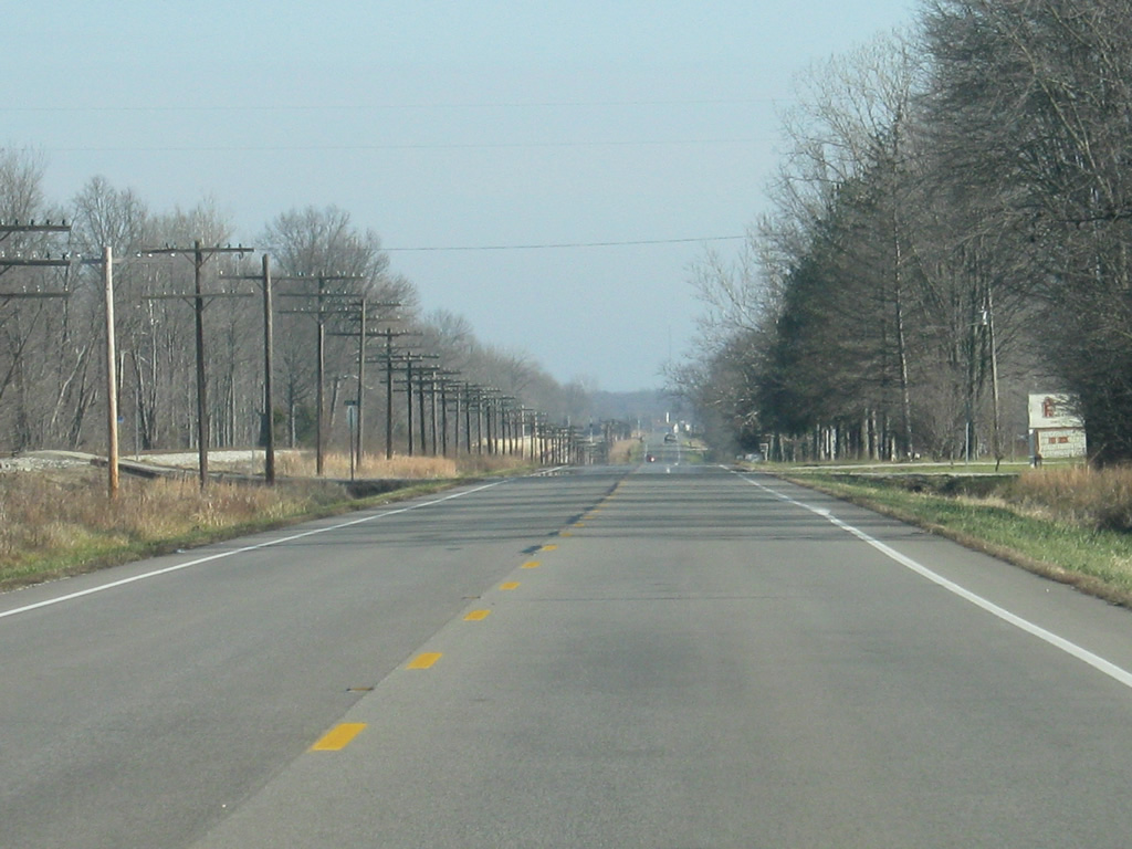
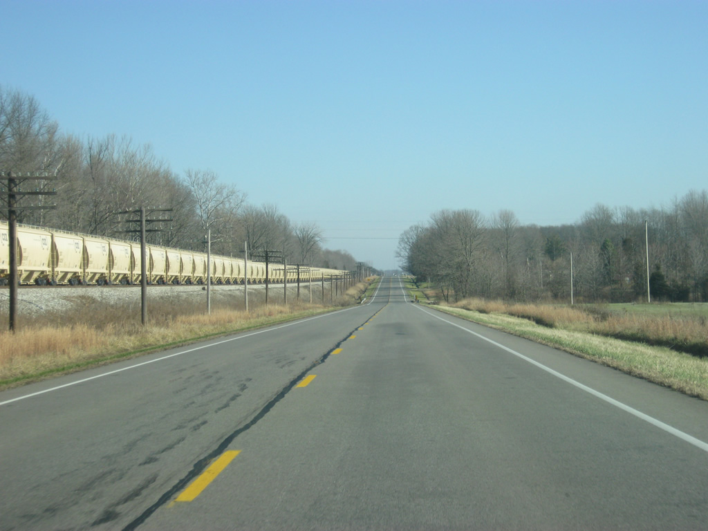
| East of North Vernon, U.S. 50 again follows the CSX tracks to the south. 12/18/11 |
|
| U.S. 50 at the intersection with County Road 425 East. About a mile to the north of this intersection is the Muscatatuck Urban Training Center, a unique urban-looking facility that is used to train civilian first responders and the military for urban warfare. 12/18/11 |
|
| Passing by the intersection with County Road 300 North along U.S. 50 east. 12/18/11 |
|
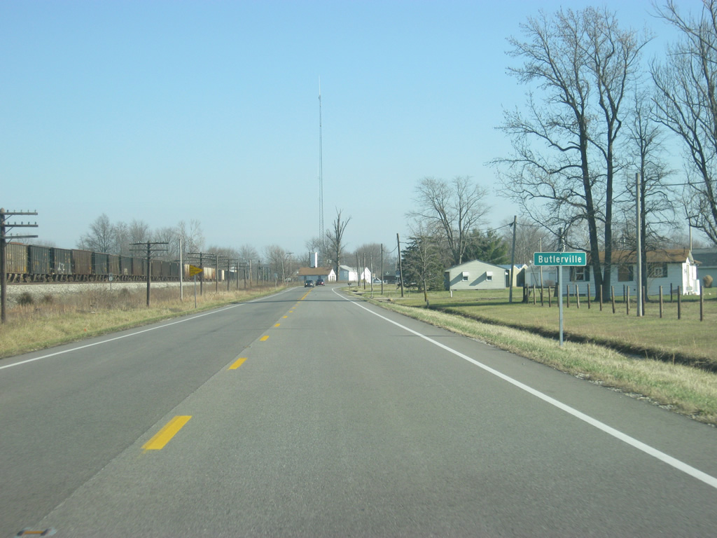
| U.S. 50 enters the small town of Butlerville. 12/18/11 |
|
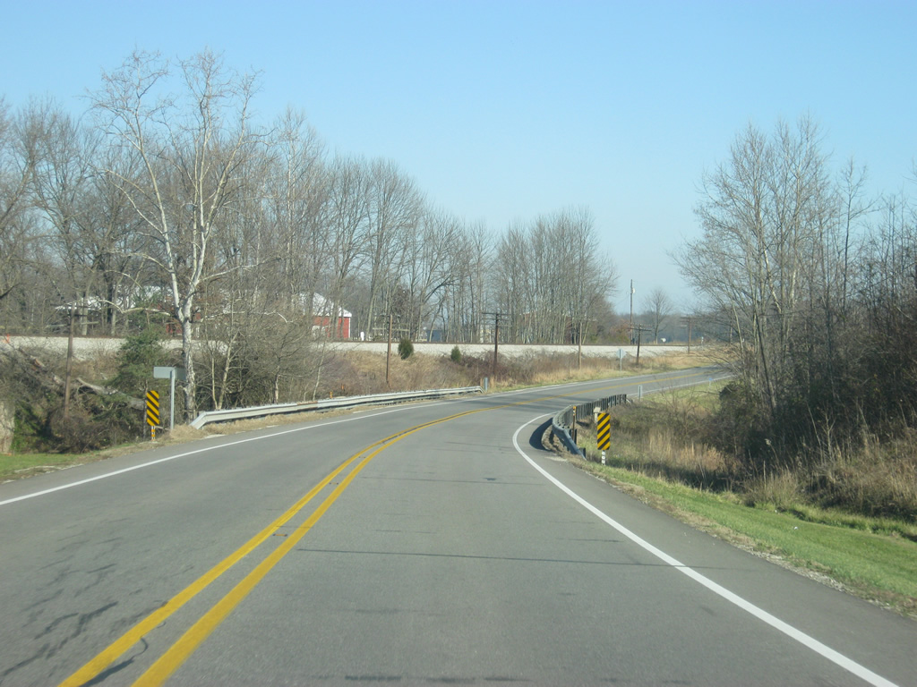
| A view of U.S. 50 as it goes through the town of Butlerville. Despite being a small town, U.S. 50 bypasses the community to the south. 12/18/11 |
|
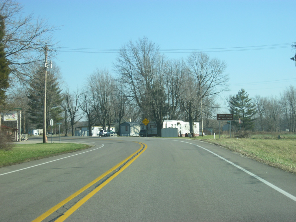
| U.S. 50 at the intersection with Brush Creek Drive, which leads to County Road 550 East and Brush Creek Reservoir. Brush Creek Reservoir is just east of the Muscatatuck Urban Training Center. 12/18/11 |
|
| Now leaving Butlerville, U.S. 50 resumes its course along the path of the CSX Railroad track. 12/18/11 |
|
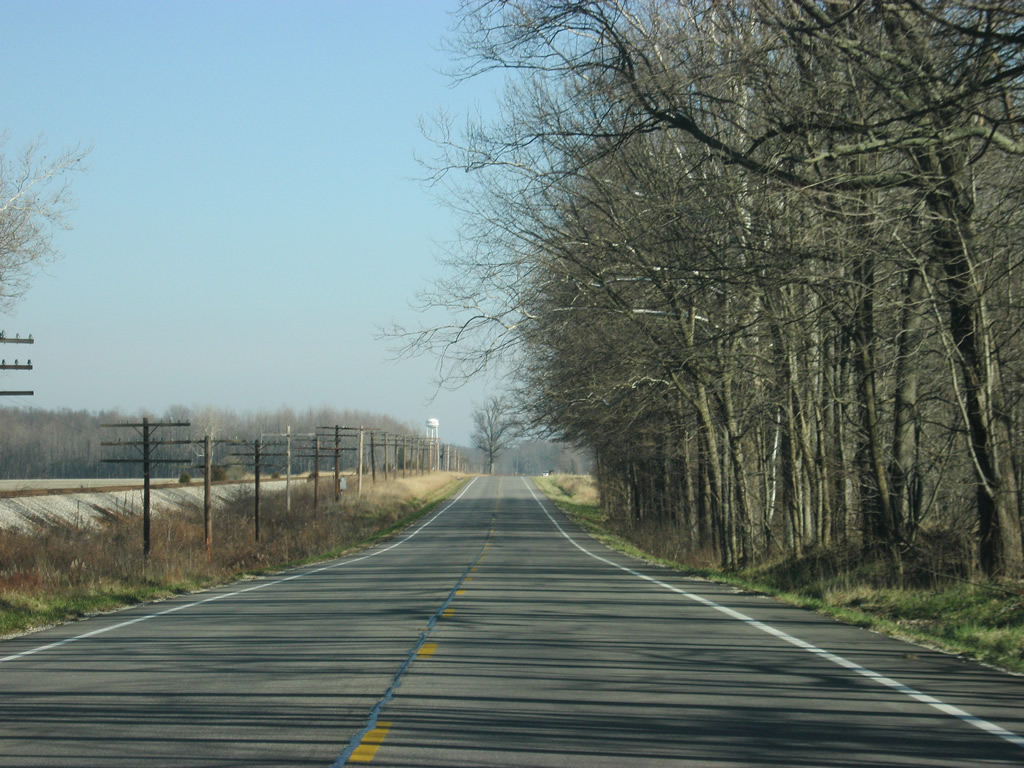
| View of U.S. 50 between the towns of Butlerville and Nebraska. 12/18/11 |
|
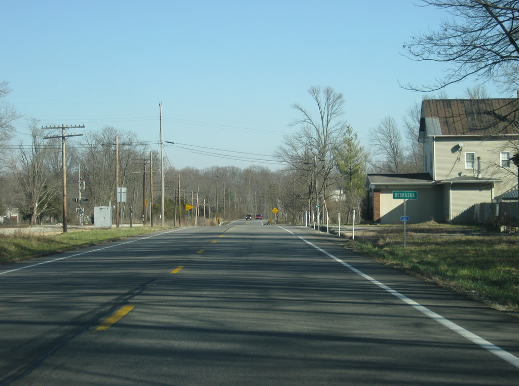
| U.S. 50 enters the small town of Nebraska, in the far eastern tier of Jennings County. 12/18/11 |
|
| East of Nebraska, U.S. 50 ventures through some forested land and approaches the Ripley County line. 12/18/11 |
|
| U.S. 50 enters Ripley County (population 28,818). 12/18/11 |
Page Updated 08-13-2013.

 east
east