|
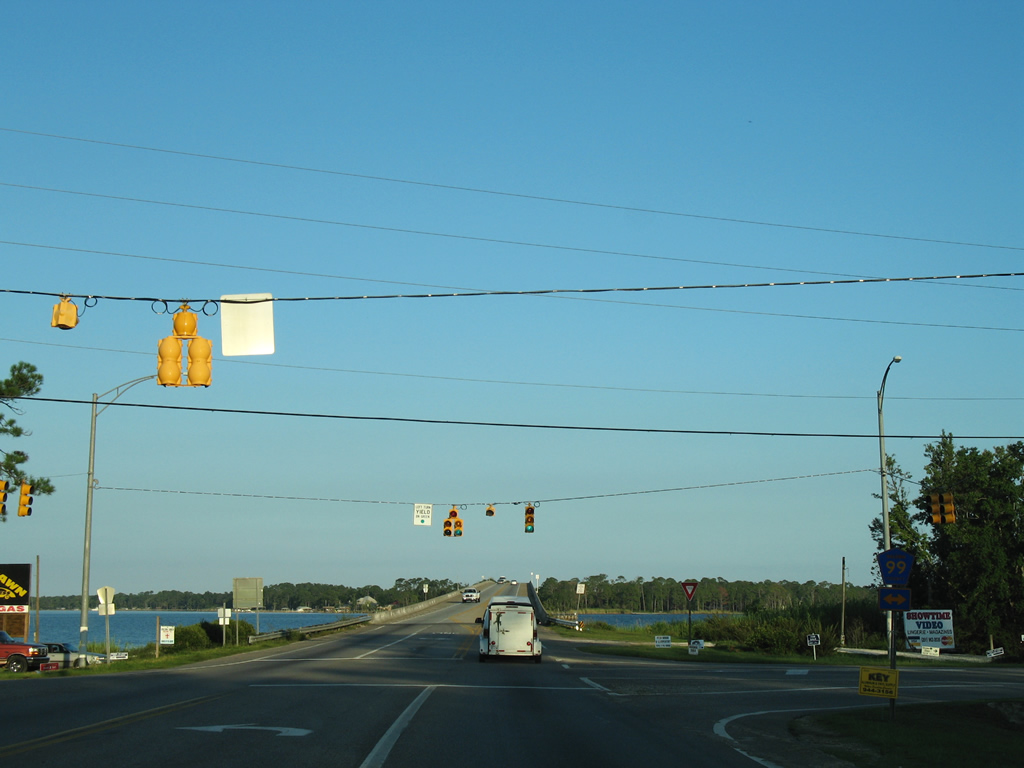
| U.S. 90/98 (Battleship Parkway) span the Tensaw River, which represents the county line south of Polecat Bay. 06/06/06 |
|
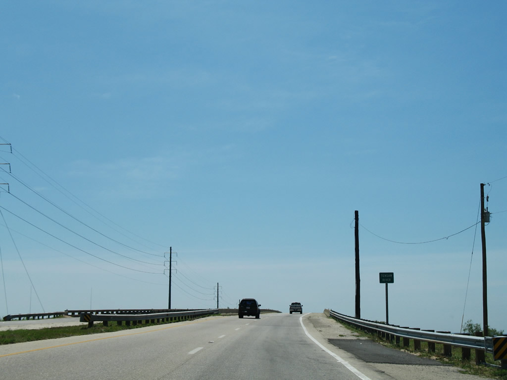
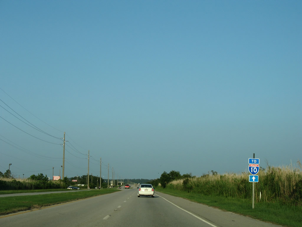
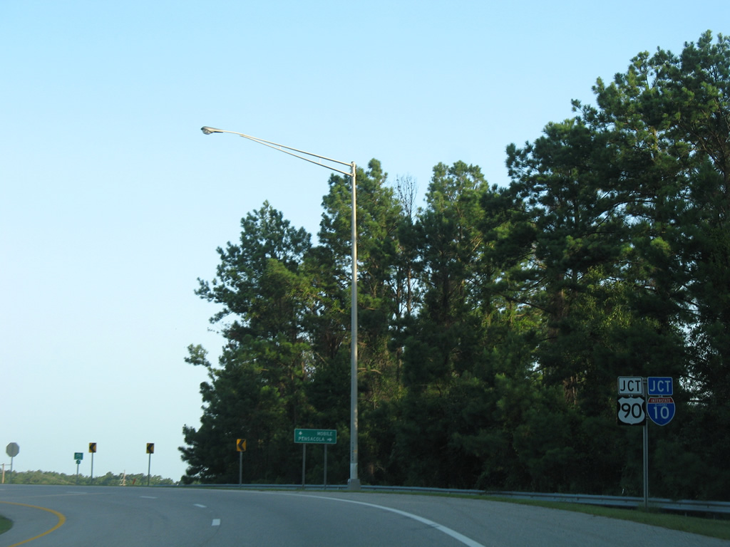
| Traveling just above sea level, U.S. 90/98 east approaches a diamond interchange (Exit 30) with Interstate 10. 09/10/00 |
|
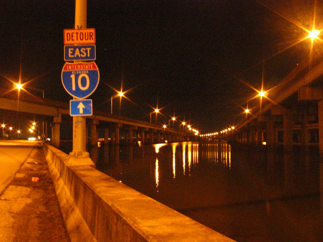
| Storm surge from Hurricane Katrina in 2005 damaged the eastbound entrance ramp for Interstate 10 at Exit 30. Subsequent repair work to replace the toppled bridge slabs lasted a year. 04/09/09 |
|
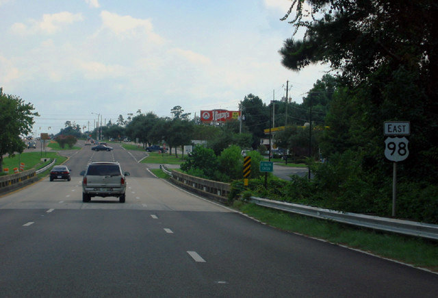
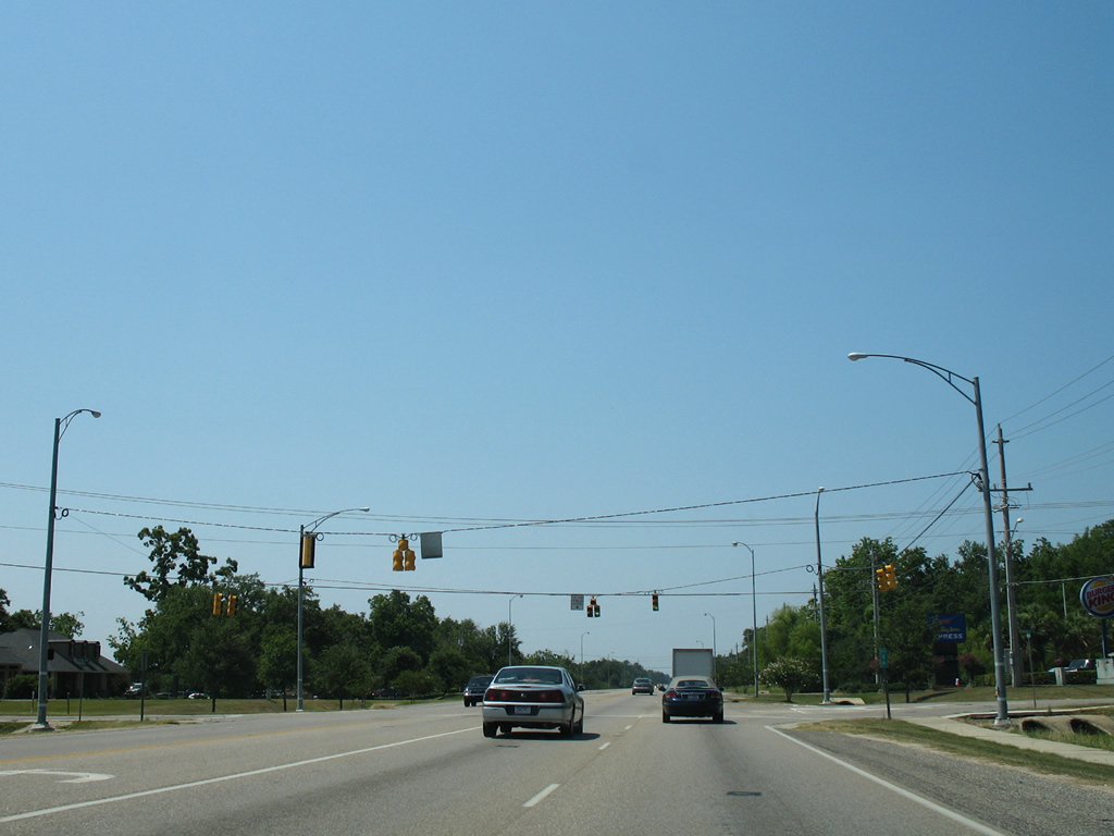
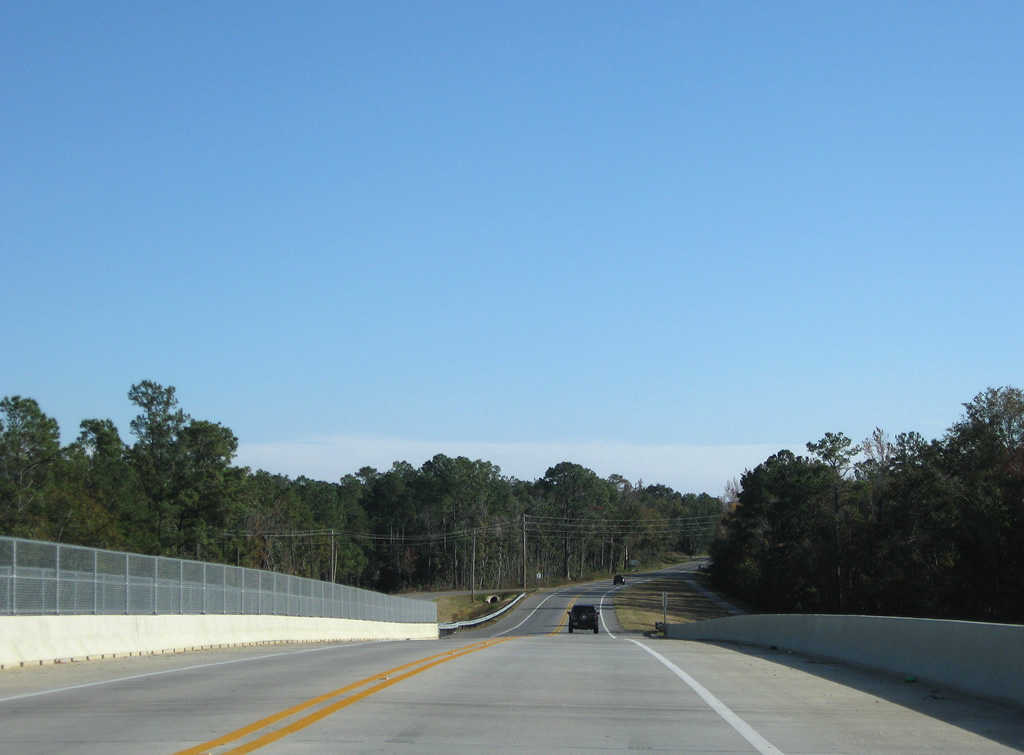
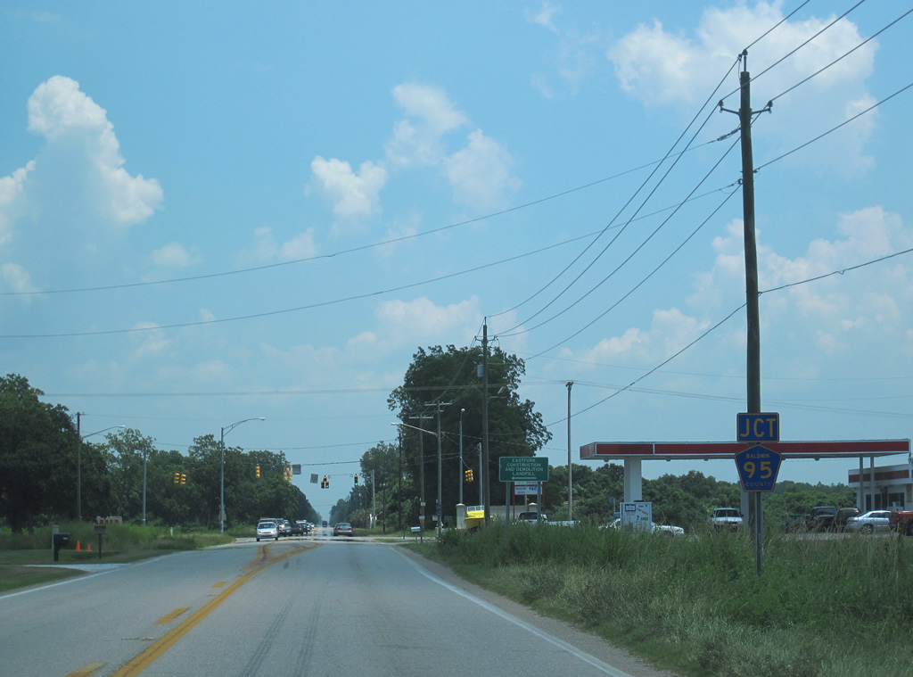
| Interstate 10 and U.S. 90/98 both continue five miles east to Spanish Fort and Daphne. Overhead lighting is used along the eight mile twin viaduct, but not along the causeway. 04/09/09 |
|
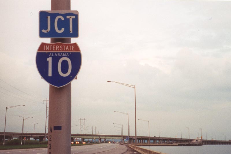
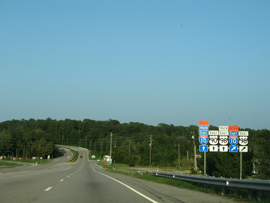
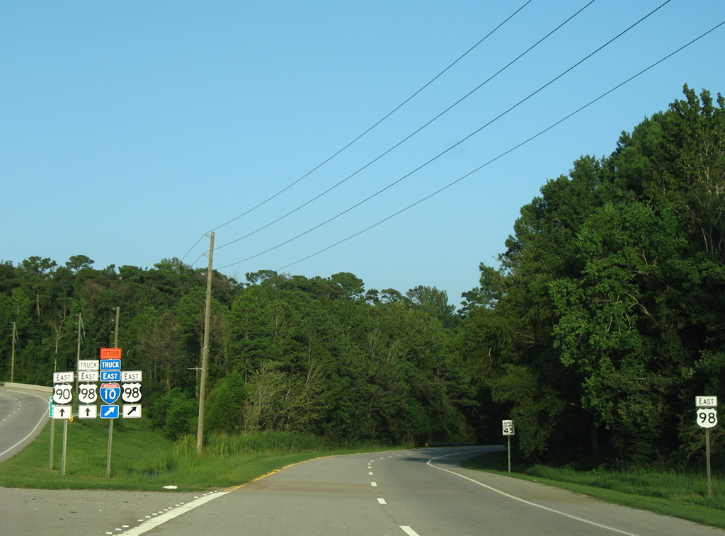
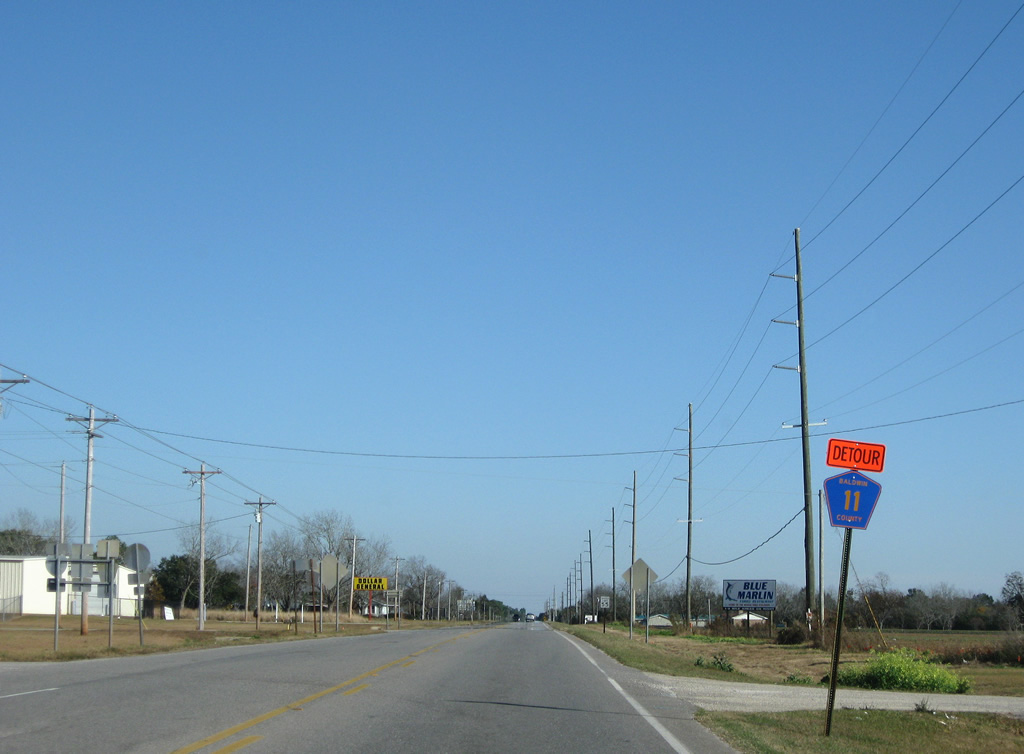
| Detour Interstate 10 shields accompany U.S. 90/98 eastward to Spanish Fort. The detour overlays U.S. 90 east from I-165 across the Cochrane-Africatown Bridge to Exit 35 in Daphne. 08/21/03 |
|
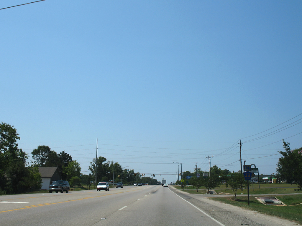
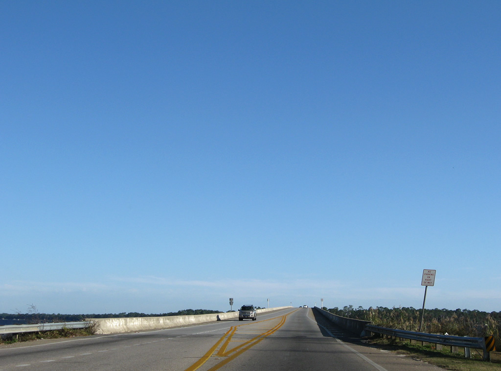
| U.S. 90/98 continue east along the causeway for another five miles before parting briefly along the bluff line in Spanish Fort. U.S. 31 begins in 4.4 miles at the southward turn of U.S. 90 at Bridgehead. 11/05/03, 06/06/06 |
|
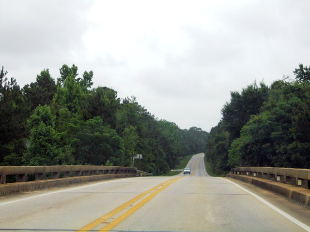
| U.S. 90/98 straddle Mobile Bay to the south and Chacaloochee Bay to the north. Boat launch ramps and parking areas are located along the causeway. 06/06/06 |
|
| Interstate 10 trailblazer posted on the island south of Pass Picada and west of Apalachee River. 07/17/07 |
|
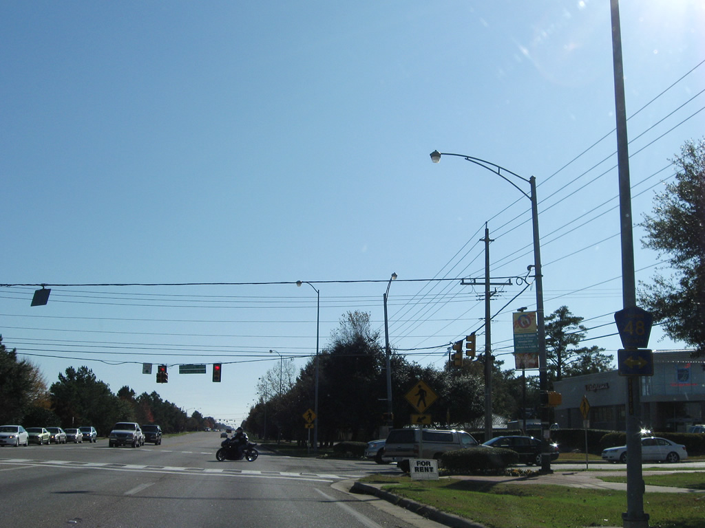
| U.S. 90/98 enter the city limits of Spanish Fort after the Tensaw River and continue to their split beyond the Blakeley River. U.S. 98 shifts onto a short expressway southeast to Daphne. 07/17/07 |
|
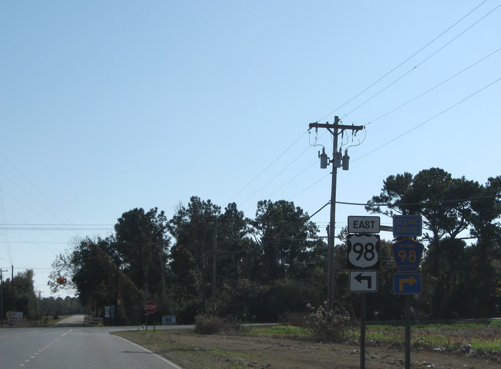
| U.S. 90 (Spanish Fort Boulevard) ascends the bluff line eastward to U.S. 31. U.S. 98 (Battleship Parkway) veers southeast and bypasses Spanish Fort to meet U.S. 90 (Old Spanish Trail) again at the exchange with Interstate 10. 07/17/07 |
|
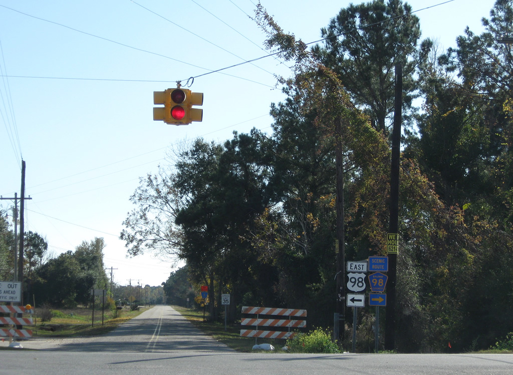
| Reassurance shield for U.S. 98 (Battleship Parkway) at the wye interchange with Spanish Fort Boulevard. 07/17/07 |
|
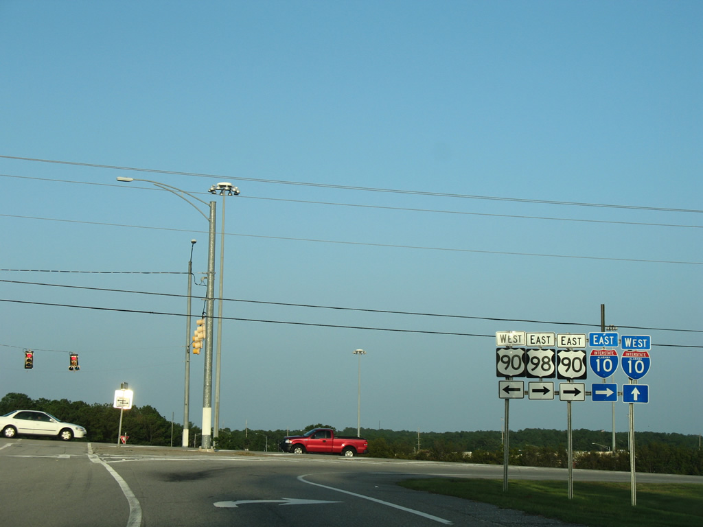
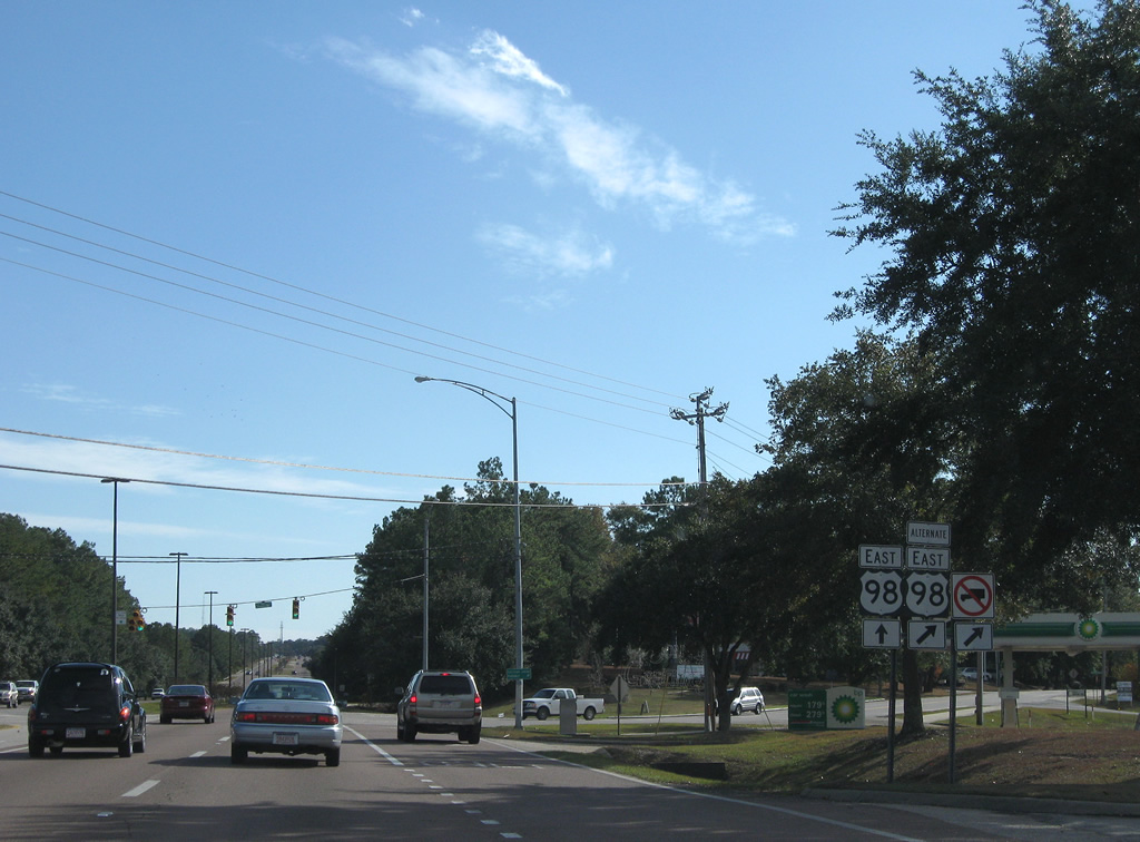
| U.S. 98 rises to rejoin U.S. 90 (Old Spanish Trail) through the parclo interchange (Exit 35) with Interstate 10. 07/17/07 |
|
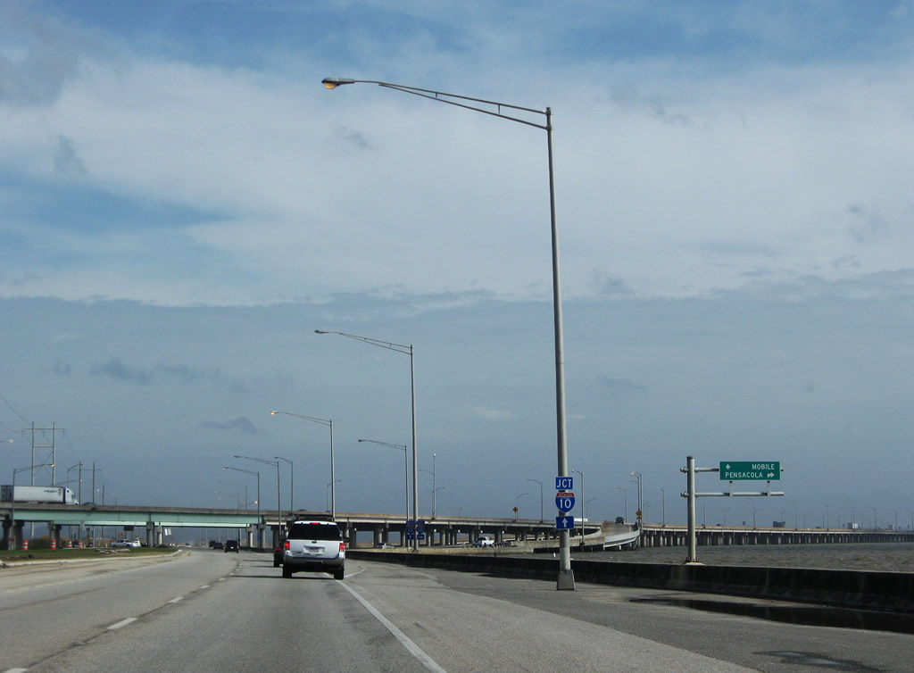
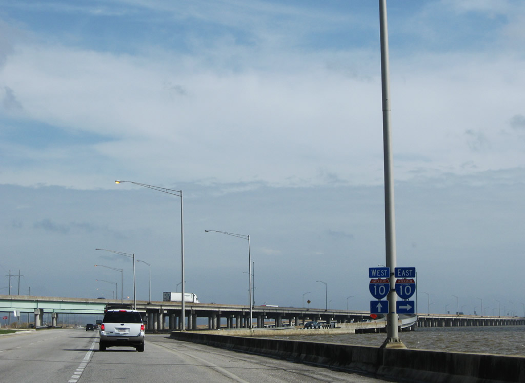
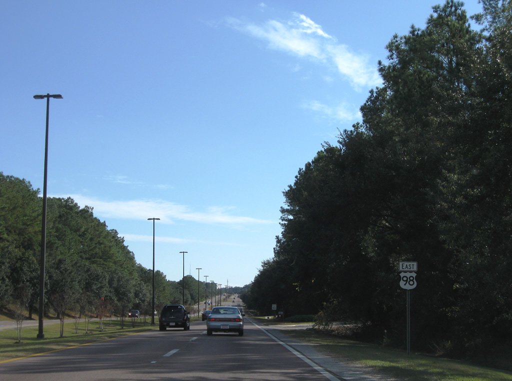
| A loop ramp drops onto Interstate 10 west at the Mobile Bayway. U.S. 90/98 pass over the freeway along a 0.194 mile concurrency. 07/17/07 |
|
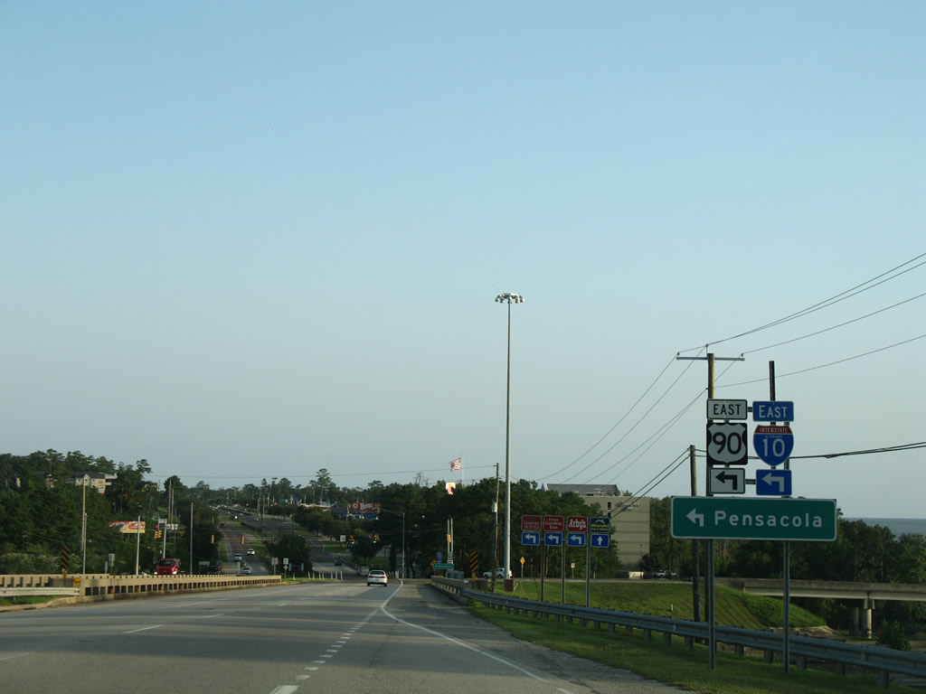
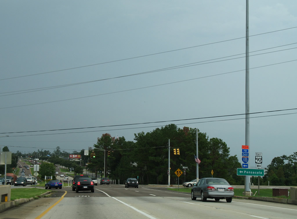
| U.S. 90 and 98 (Old Spanish Trail) separate at the intersection with the I-10 eastbound off-ramp. 07/17/07 |
|
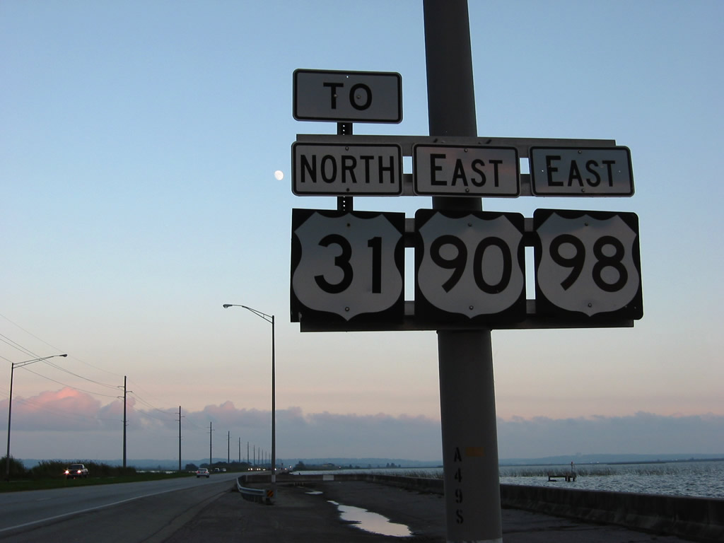
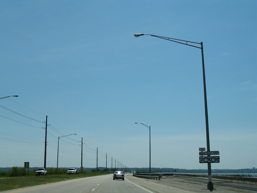
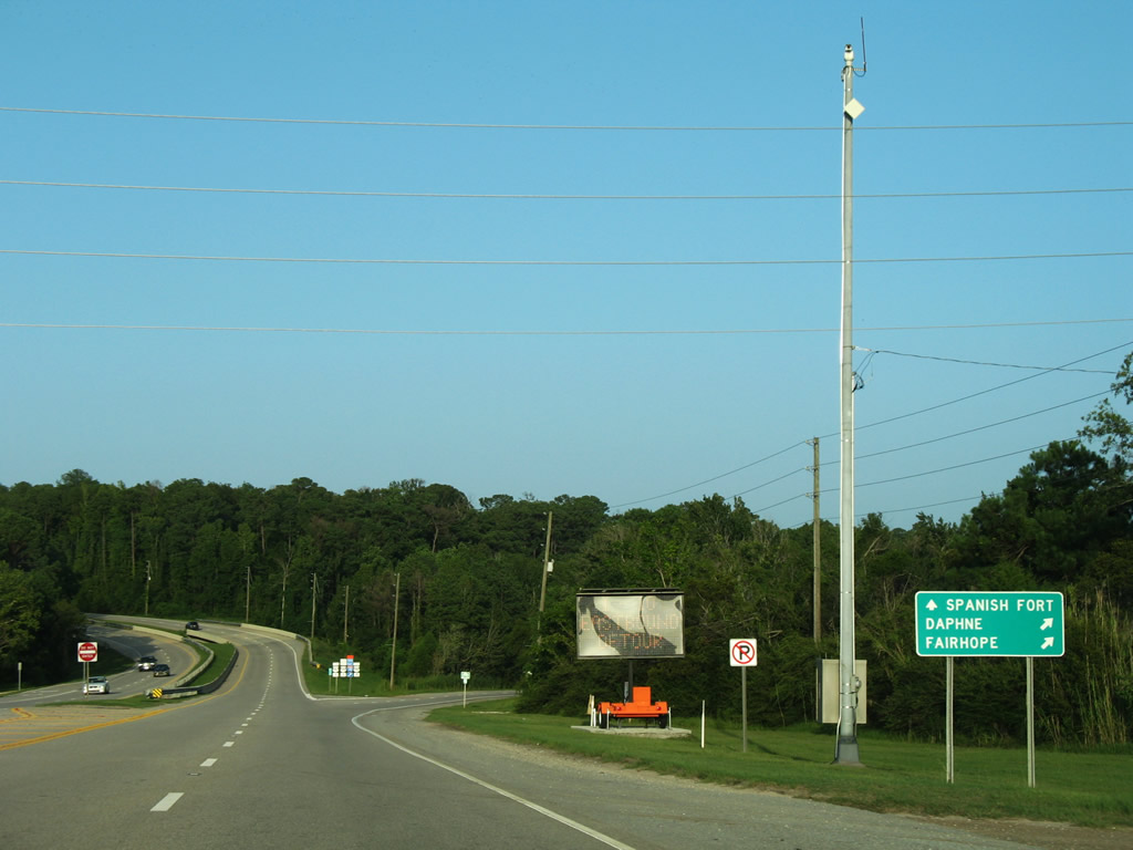
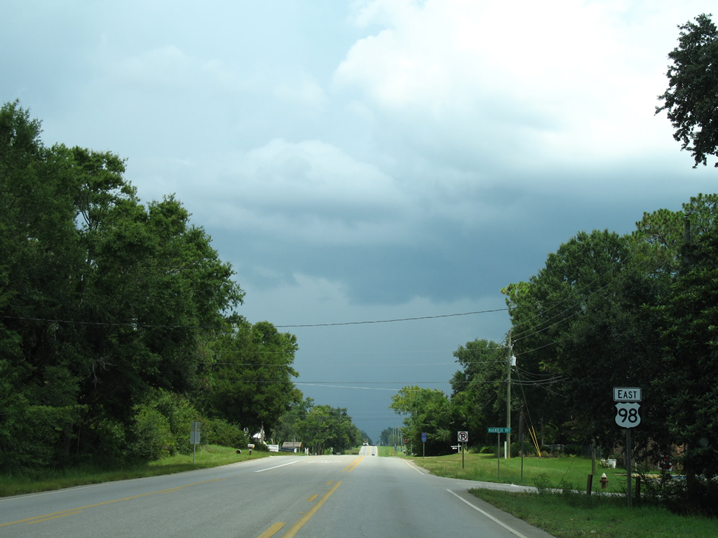
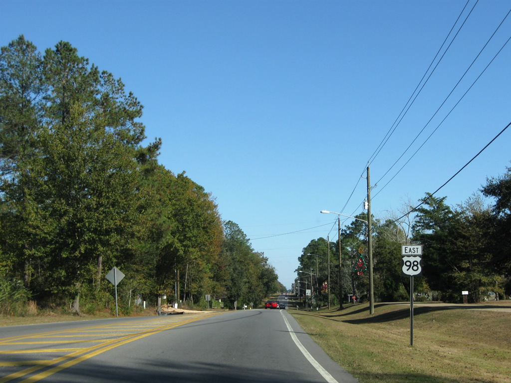
| U.S. 90 resumes an eastward heading to Malbis. U.S. 98 remains south along an arterial route through Daphne and Fairhope. 08/04/06 |
|
| U.S. 98 continues southward from Interstate 10 at Bridgehead across D'Olive Creek. 08/21/03 |
|
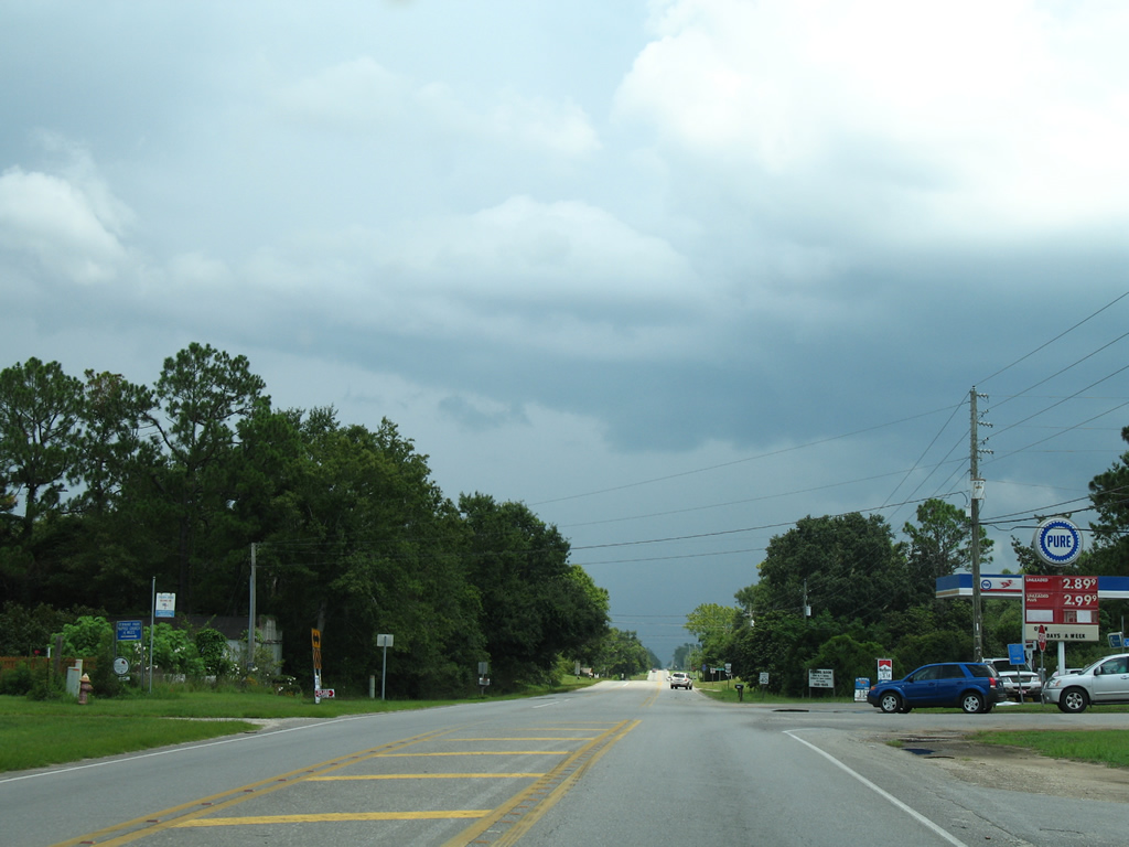
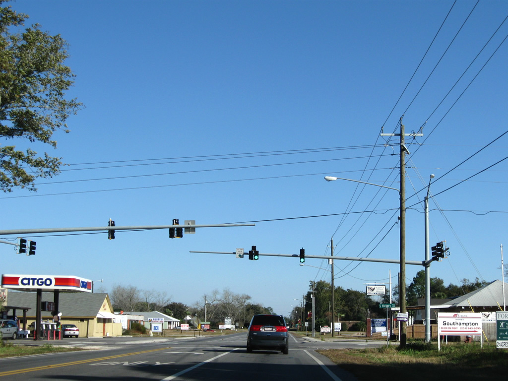
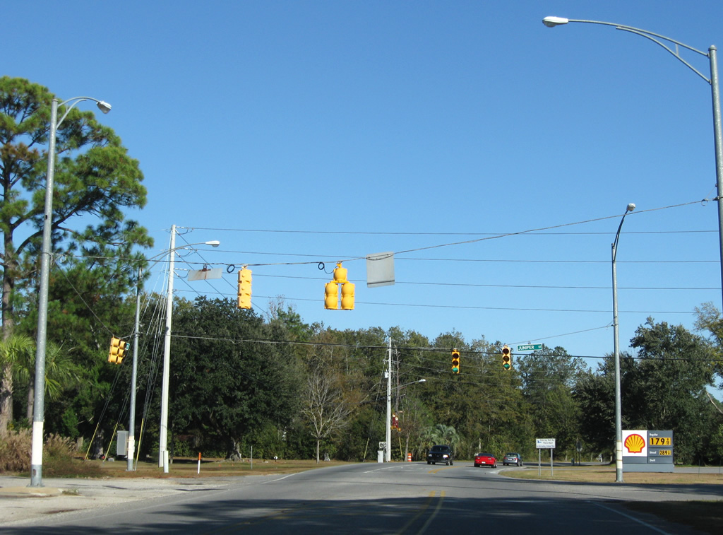
| A frontage road lines the southbound side of U.S. 98 from D'Olive Creek toward Van Buren Street in Daphne. The service road includes an array of traveler services stemming from Exit 35 of Interstate 10. Traffic lights join the parallel road with U.S. 98 in this scene. 06/09/06 |
|
| 1.5 miles further south, U.S. 98 splits with U.S. 98 Alternate / Scenic CR 98 (Main Street). U.S. 98 Alternate (Eastern Shore Parkway) winds southward to downtown Fairhope along a slow moving two lane route. The alignment represents the original U.S. 98 and is mostly signed as County Road 98. 11/30/08 |
|
| U.S. 98 bends southeast from Main Street to Daphne Avenue east of U.S. 98 Alternate. 11/30/08 |
|
| Santa Rosa Avenue connects U.S. 98 with adjacent CR 98 (Main Street) and Old County Road to the west and Old Spanish Trail to the east. 11/30/08 |
|
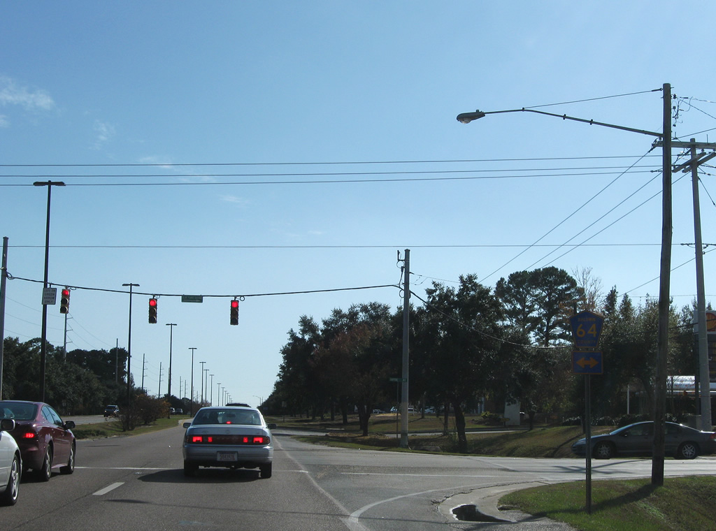
| Approaching County Road 64 (Daphne Avenue) on U.S. 98 east (south). Daphne Avenue heads west to Main Street near city hall and east to Pollard Road. 11/30/08 |
|
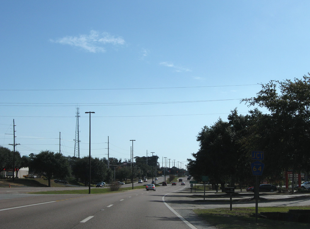
| County Road 64 begins at Main Street (County Road 98) in Daphne and leads east to Loxley, Exit 53 of Interstate 10 and County Road 112 near Gateswood. 11/30/08 |
|
| Rock Creek Parkway provides the only entrance to the Rock Creek Country Club & Golf Course residential area east of U.S. 98 in north Fairhope. 05/16/04 |
|
| Veterans Drive provides a direct route to County Road 98 (Section Street North) from U.S. 98 heading into central Fairhope. 11/30/08 |
|
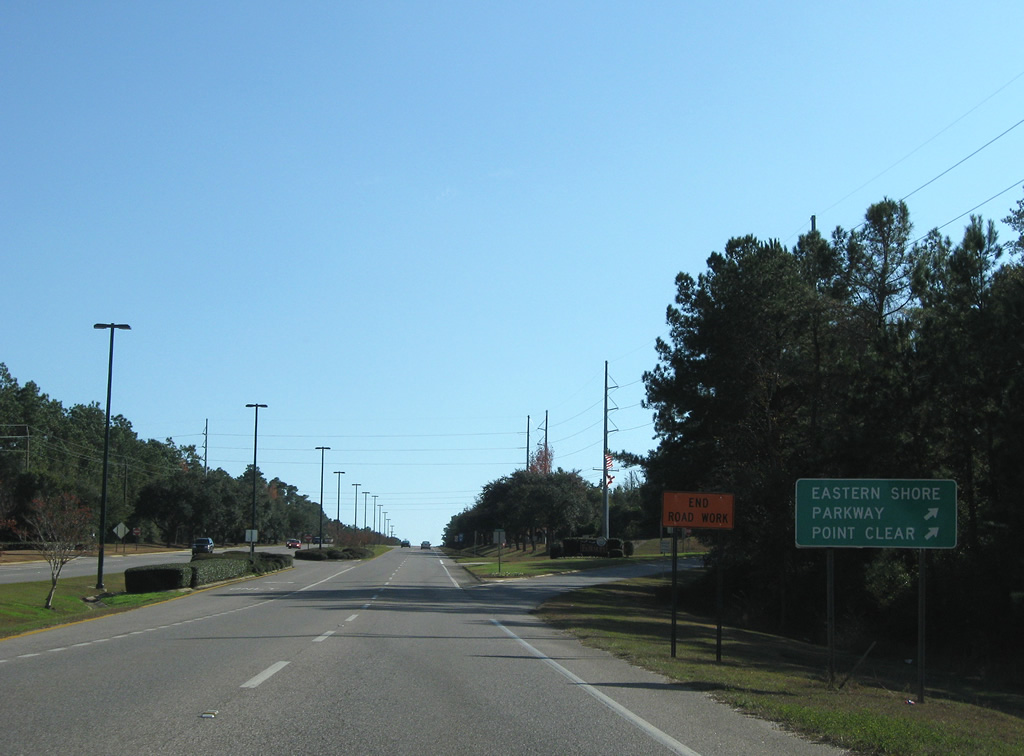
| Eastern Shore Parkway winds west from downtown Fairhope along Mobile Bay to Point Clear. 11/30/08 |
|
| U.S. 98 continues south from Fly Creek and Veterans Drive through a forest area of Fairhope. 11/30/08 |
|
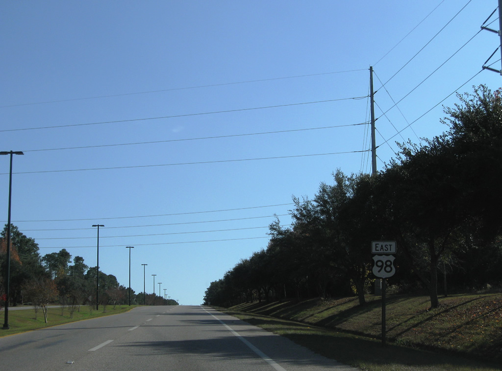
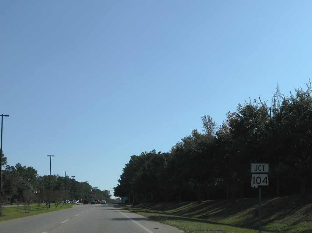
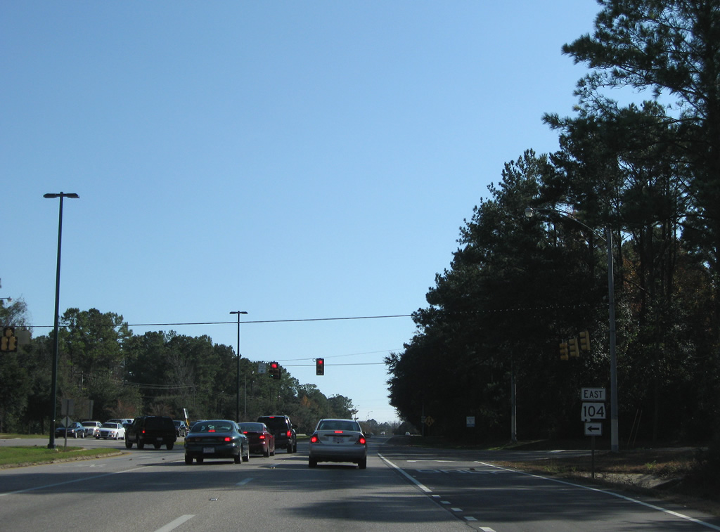
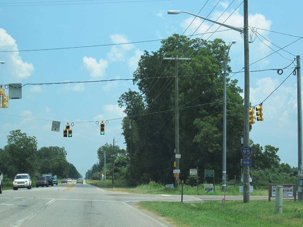
| SR 104 meets U.S. 98 at the next signalized intersection. The state route ventures east to Silverhill and Robertsdale. 11/30/08 |
|
| The road of SR 104 ends west at County Road 98 (Section Street North) near Seacliff, but officially the state route designation concludes at U.S. 98. Eastward, SR 104 serves growing areas of east Fairhope along the SR 181 corridor. 11/30/08 |
|
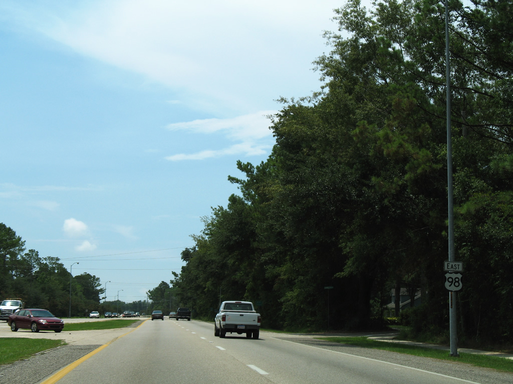
| U.S. 98 continues southeastward and becomes Greeno Road. 08/01/06 |
|
| U.S. 98 gains commercial frontage from County Road 30 (Gayfer Avenue) south to County Road 44 (Twin Beech Road). County Road 48 joins the east-west mix along Fairhope Avenue from downtown eastward to Fish River. 11/30/08 |
|
| The grassy median of U.S. 98 gives way to a center turn lane as Greeno Road passes by assorted retail. 11/30/08 |
|
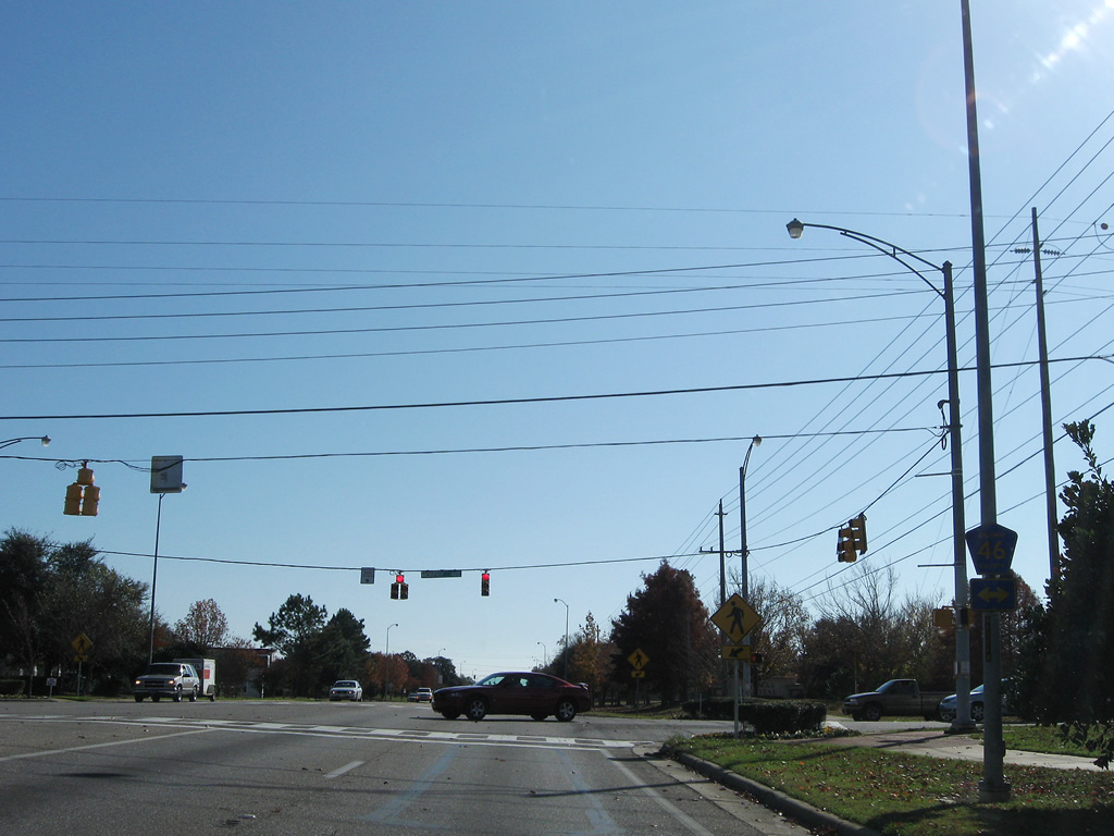
| CR 46 crosses U.S. 98 one quarter mile south at the next traffic light. Morphy Avenue carries the county route west to Section Street South (Scenic County Road 98) and east to Thompson Hall Road. 11/30/08 |
|
| Nichols Avenue heads west to the Fairhope street grid and east to Boothe Road from U.S. 98 (Greeno Road). 11/30/08 |
|
| Another traffic light follows between U.S. 98 (Greeno Road) and Middle Street west and Spring Run Drive east. 06/09/06 |
|
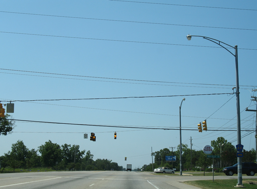
| Next along U.S. 98 eastbound is CR 44 (Twin Beech Road). Twin Beach Road heads two miles east to SR 181. 06/09/06 |
|
| Traveling west, County Road 44 follows Twin Beach Road to Houstonville and Battles Road to County Road 98 (Eastern Shore Parkway) at Battles Wharf. 06/09/06 |
|
| Greeno Road nears Fairhope High School and U.S. 98 again expands to a four lane divided highway. 11/30/08 |
|
| Continuing beyond Fairhope, U.S. 98 runs south to Old Battles Road west and CR 34 east. 11/30/08 |
|
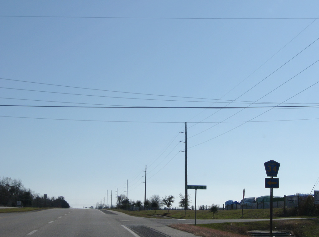
| CR 34 is a two mile long route between U.S. 98 (Greeno Road) and SR 181. Old Battles Road leads west from Greeno Road to CR 44 (Battles Road). 11/30/08 |
|
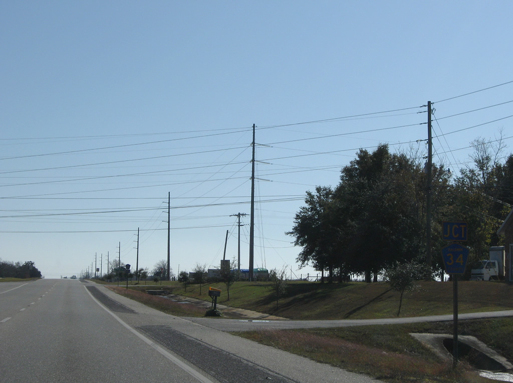
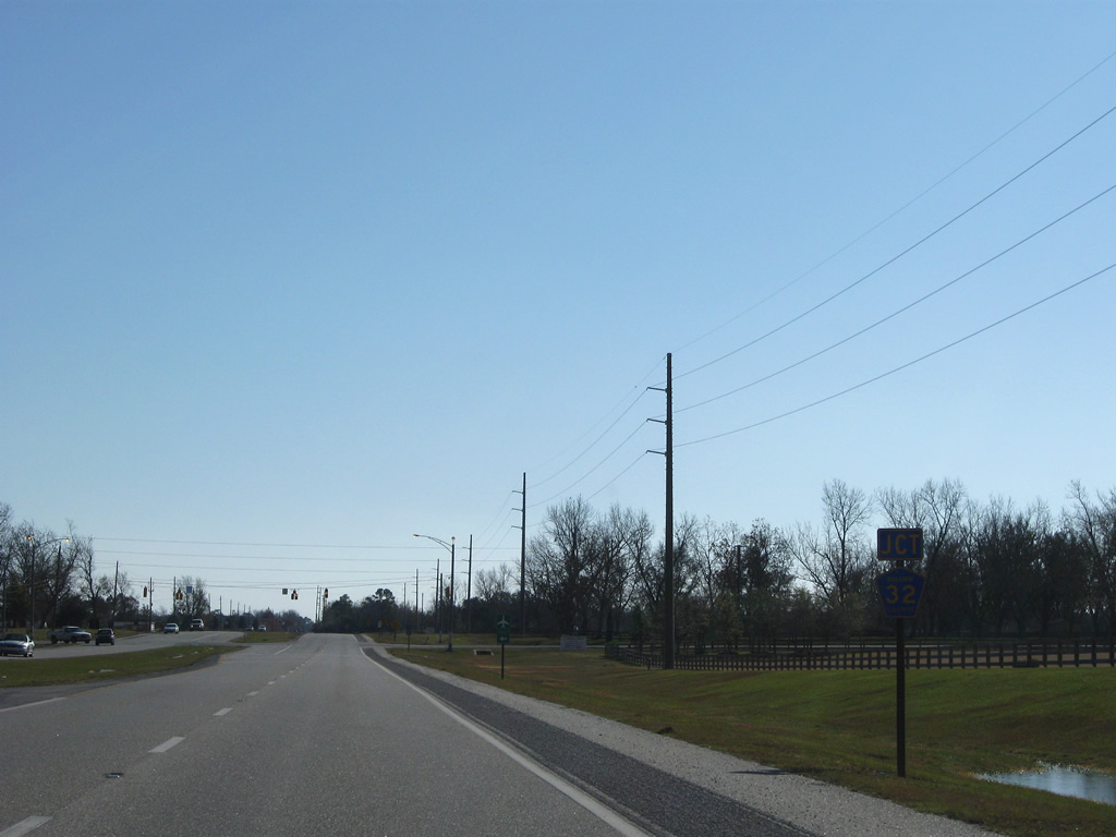
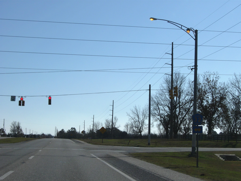
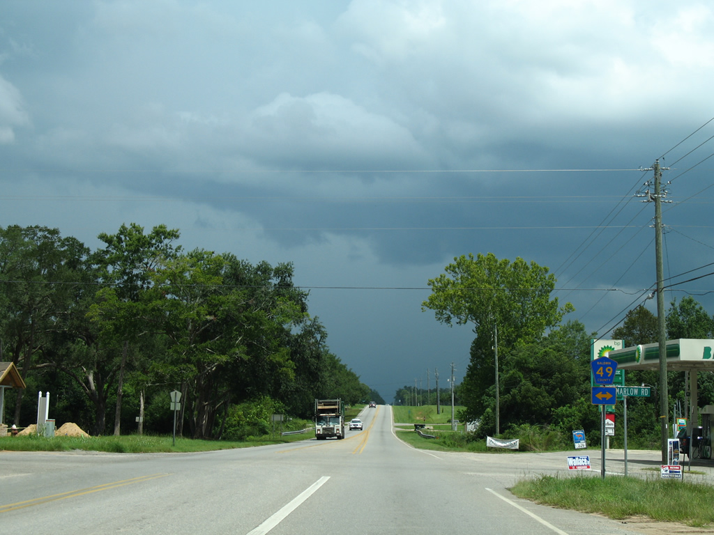
| One mile further south, U.S. 98 meets CR 32 (Marlow Road) by H.L. (Sonny) Callahan Municipal Airport. 11/30/08 |
|
| Marlow Road stems west from U.S. 98 two miles to Eastern Shore Parkway (CR 98) at Point Clear. CR 32 runs east to Fish River near Marlow, Summerdale, and rural northeast Foley en route to CC Road near Helton Bay. 11/30/08 |
|
| U.S. 98 narrows from a four lane divided highway into a two lane roadway after County Road 32. 11/30/08 |
|
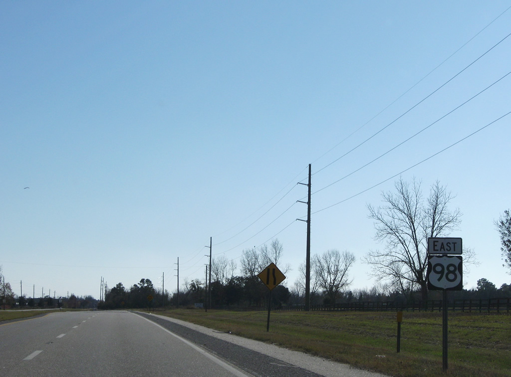
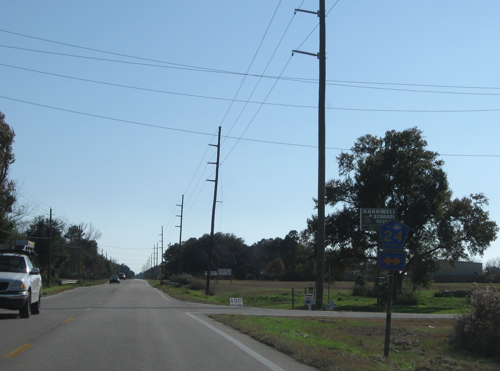
| County Road 24 crosses paths with U.S. 98 by Turkey Branch south of Fairhope. The county highway ends one mile to the west and three miles to the east in otherwise rural areas. 11/30/08 |
|
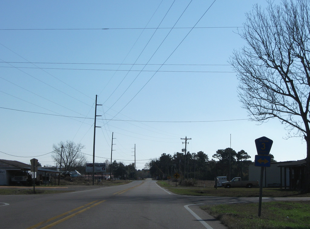
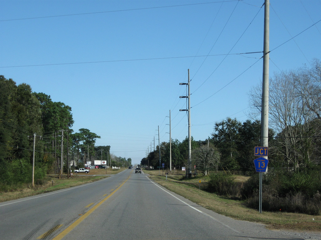
| County Road 3 travels 1.75 miles south and east from County Road 24 to meet U.S. 98 at Barnwell. CR 3 continues east one mile parallel to U.S. 98, ending at County Road 13. 11/30/08 |
|
| U.S. 98 turns eastward at County Road 11 south and County Road 98 (Eastern Shore Parkway) west. 11/30/08 |
|
| CR 98 (U.S. 98 Alternate) concludes at U.S. 98 and CR 11. Eastern Shore Parkway travels 1.3 miles west to CR 1 and Mobile Bay. CR 11 heads south one half mile to an easterly turn paralleling U.S. 98 to CR 27. 11/30/08 |
|
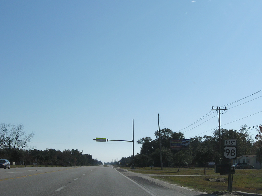
| Heading east, U.S. 98 continues toward Magnolia Springs, Foley and Lillian. No reassurance shield is posted after the turn. The Detour CR 11 shield was posted during a bridge replacement project. 11/30/08 |
|
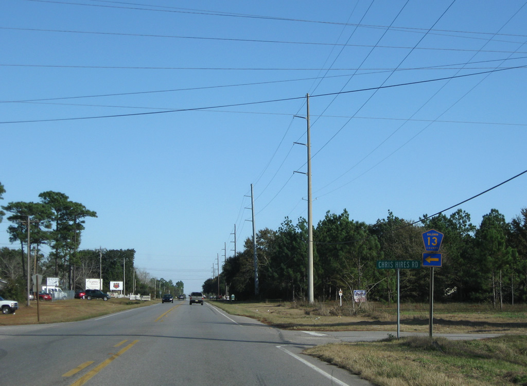
| County Road 13 south and Chris Hires Road north come together at U.S. 98, one mile to the east. 11/30/08 |
|
| Chris Hires Road meanders south to CR 11 near Weeks Branch. CR 13 extends north all the way to U.S. 90. This previously was the southern most segment of CR 13, with projects between 2008 and 2010 connecting the separate sections and forming an alternate route between U.S. 98 and SR 181. 11/30/08 |
|
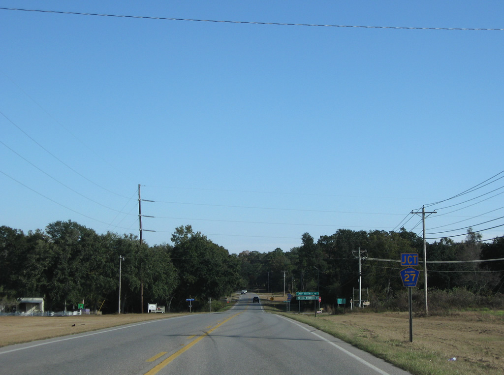
| U.S. 98 kinks southward and meets the southern segment of County Road 27 (Mary Ann Beach Road). County Road 27 leads south to Mary Ann Nelson Park on Bon Secour Bay. 11/30/08 |
|
| CR 27 lines western reaches of Weeks Bay from U.S. 98 to County Road 1. Mary Ann Beach Road Extension ties into the intersection from the north. Future construction of SR 181 will see the state highway overtake the private route. 11/30/08 |
|
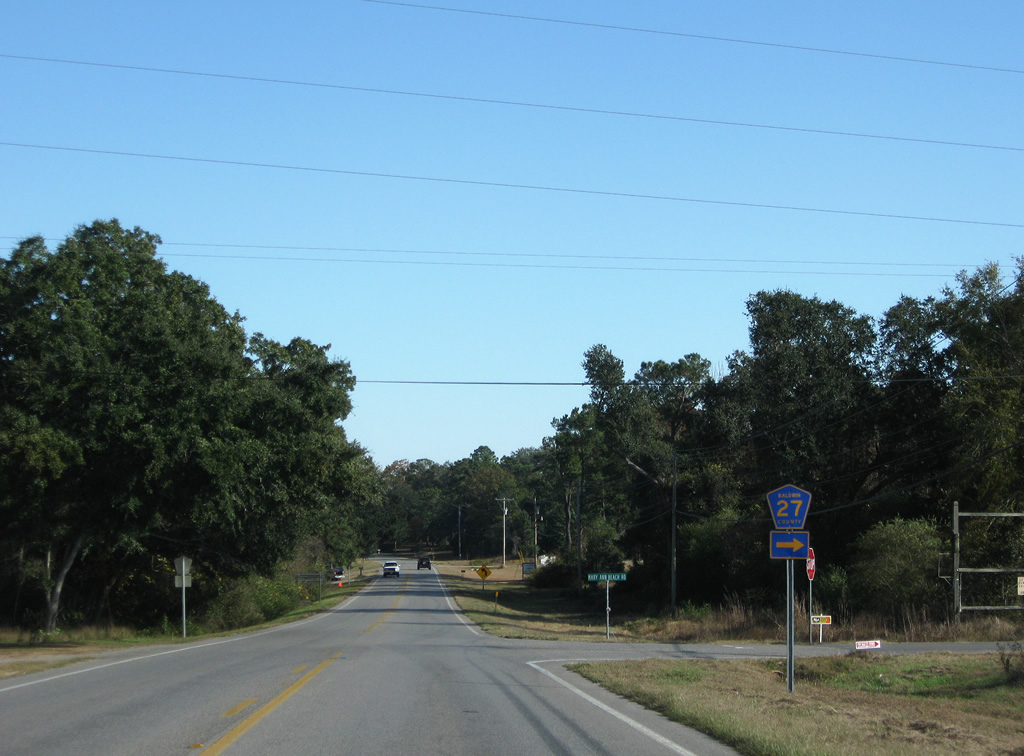
| Rounding the bend east from Mary Ann Beach Road, U.S. 98 meets the northern section of County Road 27 at Turkey Branch. This stretch of road provides the current connection between U.S. 98 and SR 181 north through eastern reaches of Fairhope and Daphne. 08/01/06 |
|
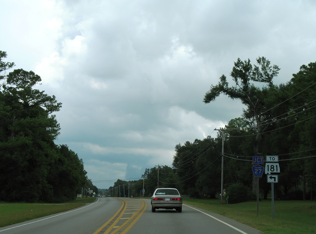
| County Road 27 travels 0.7 miles north and 0.5 miles west to form the beginning of SR 181. SR 181 overtook original County Road 27 from that point north to Malbis in 2004. 11/30/08 |
|
| Eastbound reassurance shield posted as U.S. 98 departs the intersection with CR 27. 11/30/08 |
|
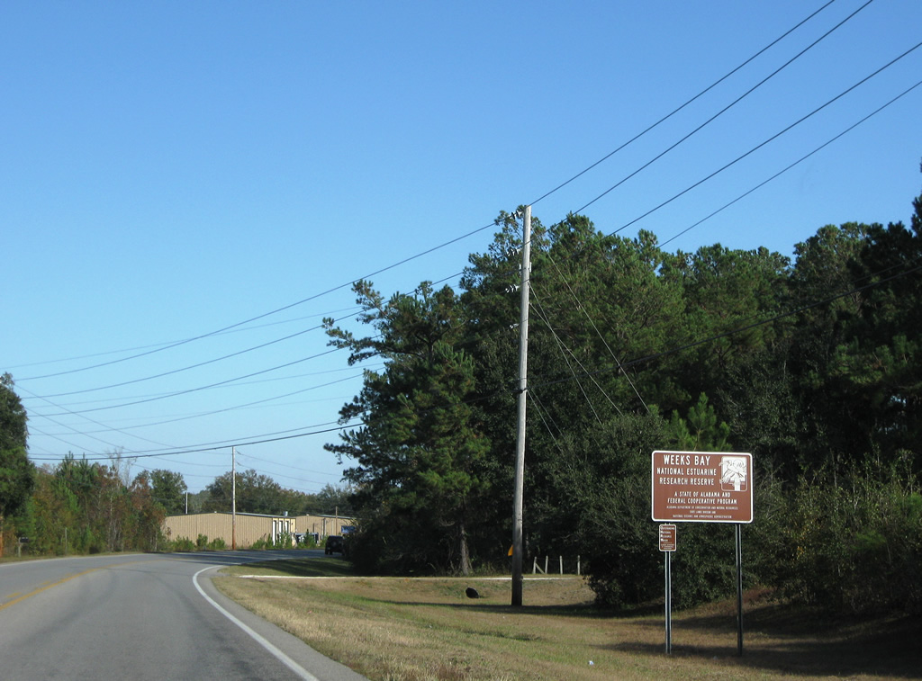
| Weeks Bay Reserve fronts the south side of U.S. 98 to the Fish River Bridge. 11/30/08 |
|
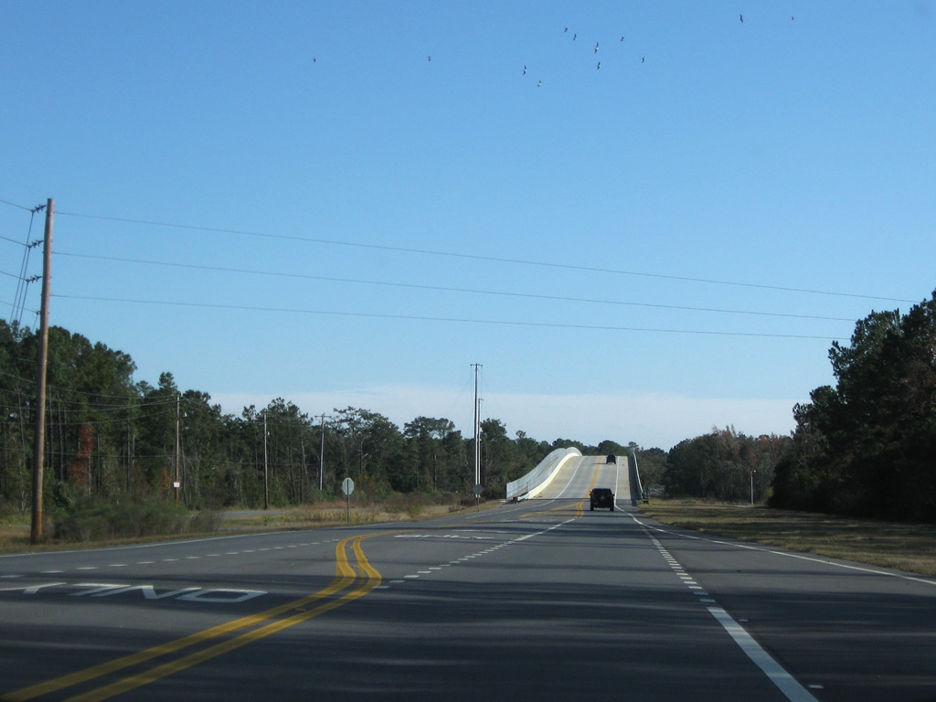
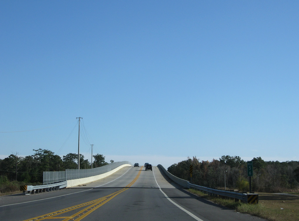
| Turning southeastward, U.S. 98 crosses the Fish River. A bridge replacement project was undertaken in 2006. Weeks Bay lies south of U.S. 98 and north of Bon Secour Bay. 05/16/04, 11/30/08 |
|
| The new Fish River Bridge travels just north of the foot print of the original span. Bay Watch Boat Ramp lies on the south side of the span while Manatee Park fronts the north side along the east banks of Fish River. 11/30/08 |
|
| Upgrades between the old and new Fish River bridge include full shoulders and a bike/pedestrian path along the westbound side of U.S. 98. 05/16/04, 11/30/08 |
|
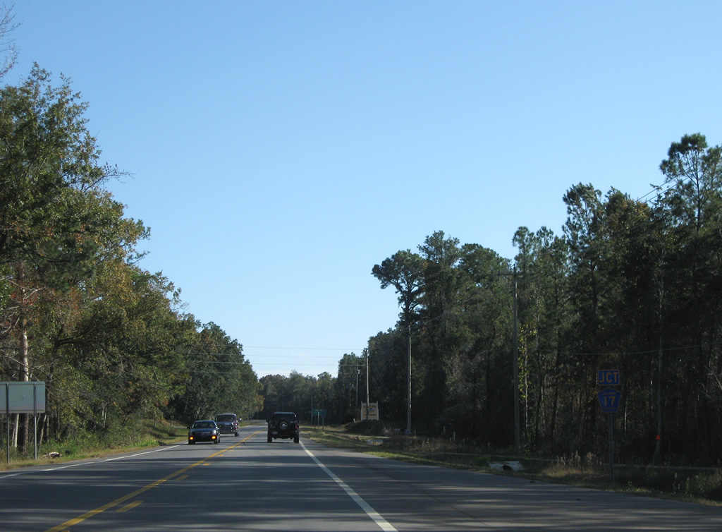
| Just east of Fish River is County Road 17 (Fish River Road) at Yupon. 11/30/08 |
|
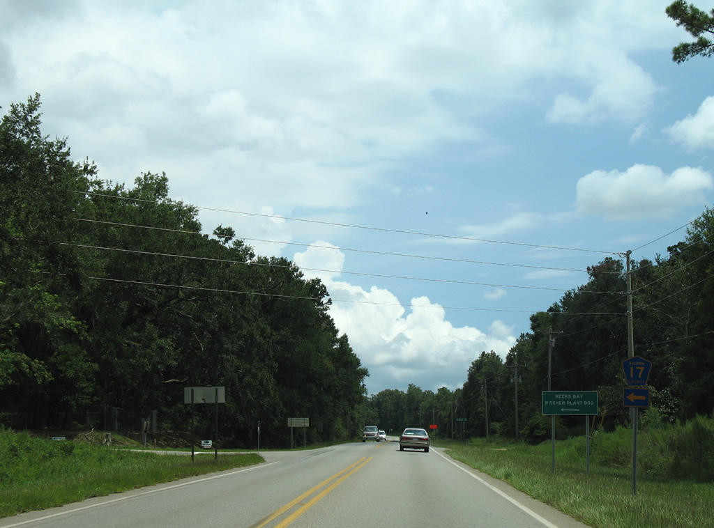
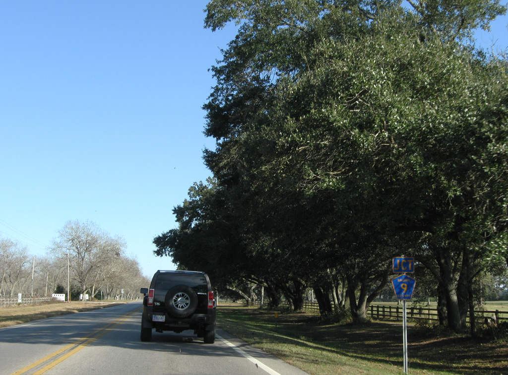
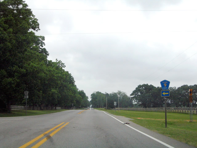
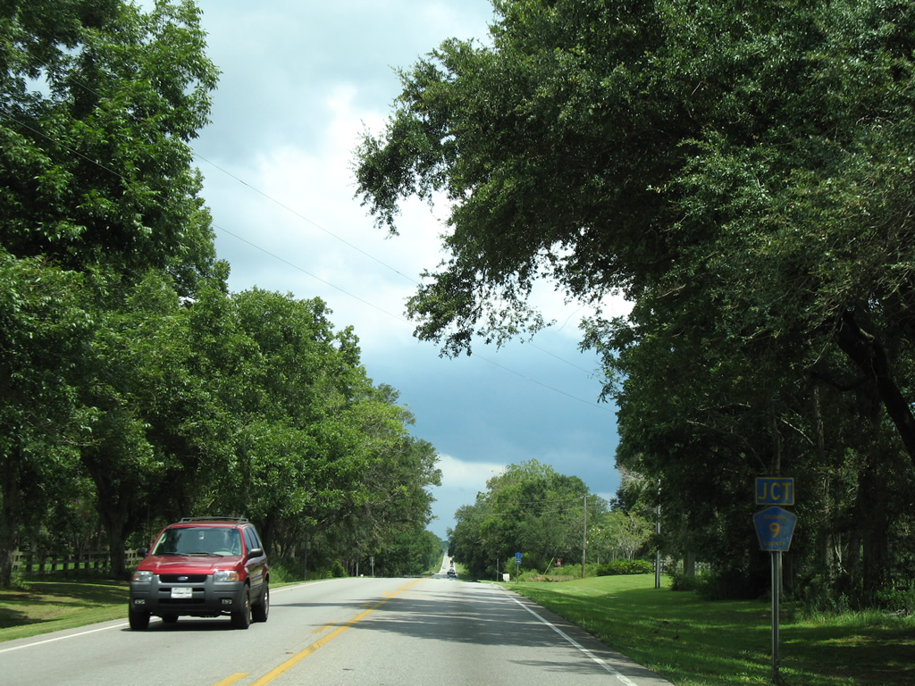
| County Road 17 travels Fish River Road north to the Weeks Bay Pitcher Plant Bog in Weeks Bay Reserve and Mannich Lane east to County Road 9. 08/01/06 |
|
| Curving back to an eastward trajectory, U.S. 98 approaches the first of two intersections with CR 9. 11/30/08 |
|
| Heading north, CR 9 continues to Marlow and County Road 48 parallel to the Fish River. 05/16/04 |
|
| One half mile separates the north and south segments of County Road 9 on U.S. 98. 11/30/08, 08/01/06 |
|
| County Road 9 stems south from U.S. 98 along Yupon Road to a handful of residential roads near the Magnolia River. 08/01/06 |
|
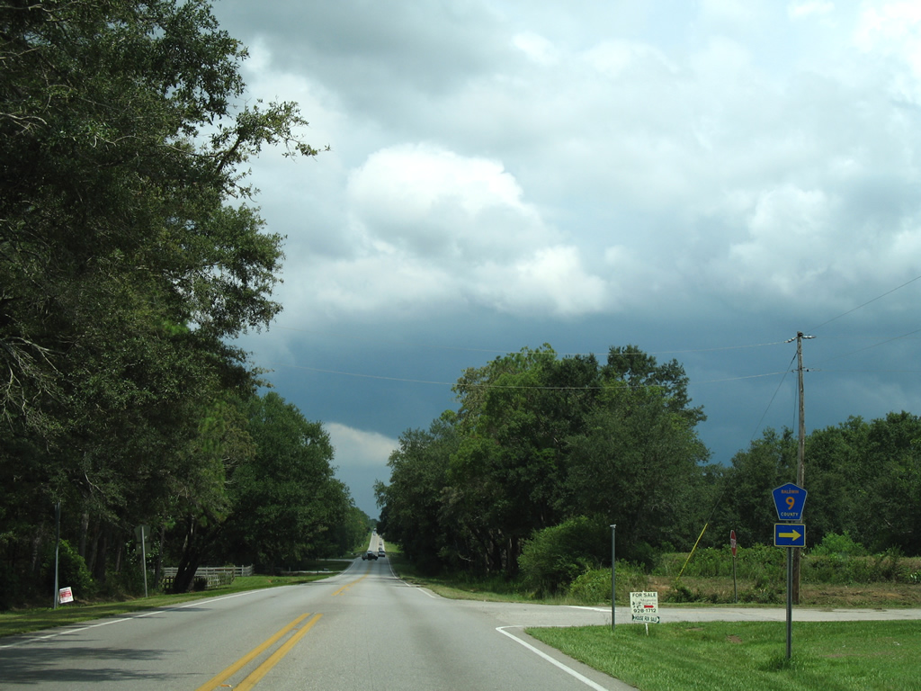
| Entering the town of Magnolia Springs, U.S. 98 meets the south section of CR 49 (Magnolia Springs Highway). Although unsigned here, Magnolia Springs Highway carries the county road south toward Bon Secour Bay. 08/01/06 |
|
| One quarter mile separates the Magnolia Springs Highway segment of County Road 49 with CR 49 north. 08/01/06 |
|
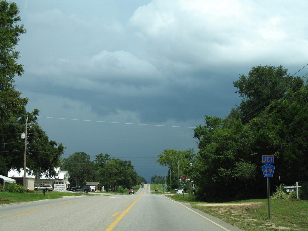
| CR 49 stems north from Old Marlow Road and Magnolia Springs to County Road 28 east of Marlow. Additional sections of County Road 49 exist from the Silverhill area north to Loxley and along old SR 59 north of Interstate 10. 08/01/06 |
|
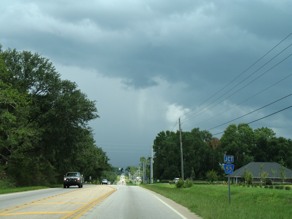
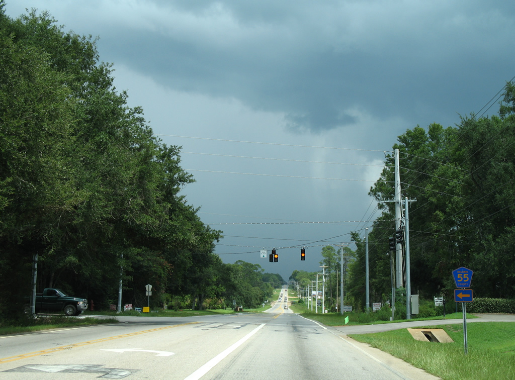
| U.S. 98 travels between subdivisions within out parcels of Foley and meets the south end of CR 55. County Road 55 connects the US route with even more subdivisions northward 1.5 miles. 08/01/06 |
|
| CR 55 travels north 4.5 miles to County Road 32 and 10 miles to the town of Silverhill. The county highway ends at County Road 68 north of Loxley. 08/01/06 |
|
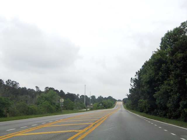
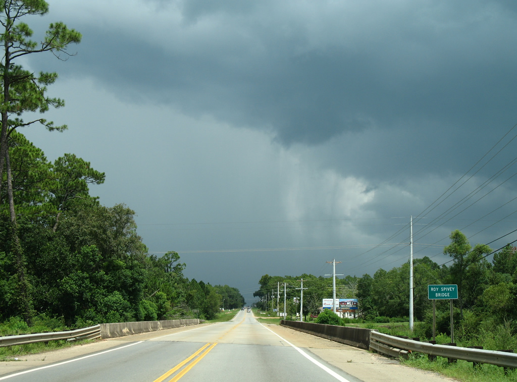
| Continuing east, U.S. 98 crosses the Ron Spivey Bridge across Magnolia River. The nondescript span was built in 1988. 08/01/06 |
|
| County Road 65 crosses paths with U.S. 98 just west of Foley between County Road 28 (Marlow Road) and Bon Secour. 11/30/08 |
|
| U.S. 98 east at CR 65. The north-south road joins western reaches of Foley with southwest Summerdale in an otherwise rural area. County Road 65 exists in two segments with the northern portion leading north from Robertsdale to Loxley and Rosinton. 11/30/08 |
|
| Eastbound shield for U.S. 98 posted between County Road 65 and Foley Soccer Park. 11/30/08 |
|
| Hickory Street ventures north to Fern Avenue near Foley Municipal Airport and southward to County Road 12. A crop of subdivisions replace farm fields along the street, increasing traffic which resulted in a new traffic light added to U.S. 98 by 2008. 11/30/08 |
|
| U.S. 98 follows Laurel Street through the Foley street grid, meeting Cedar Street at this signalized intersection. 11/30/08 |
|
| Two blocks east on U.S. 98 (Laurel Street) at Pine Street in Foley. 11/30/08 |
|
| Entering downtown Foley, U.S. 98 (Laurel Street) intersects Alston Street. 11/30/08 |
|
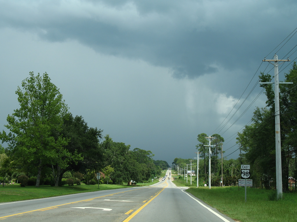
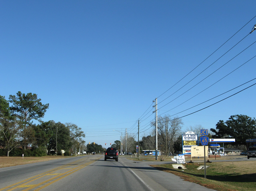
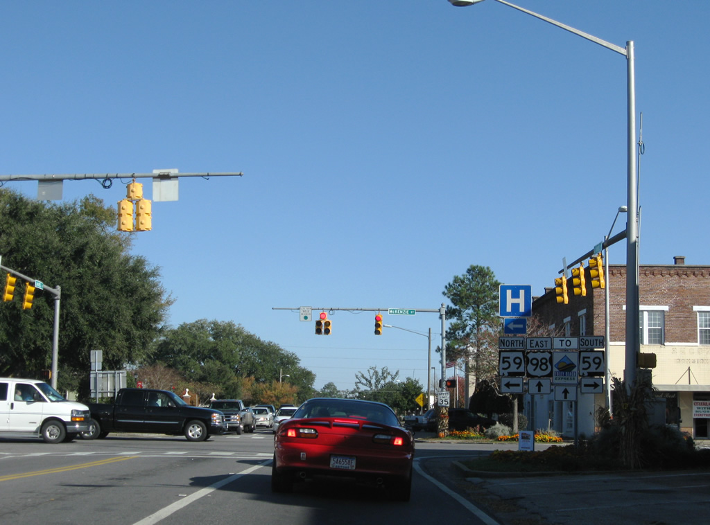
| SR 59 (McKenzie Street) bisects Foley northward to Summerdale and southward to Gulf Shores. The four lane highway provides the main route between the coastal resort area, Interstate 10, and Bay Minette along a 94.1 mile route from the Gulf of Mexico to Uriah. 11/30/08 |
|
| Juniper Street stems south from U.S. 98 (Laurel Avenue) to County Road 26 (Michigan Avenue) and County Road 20 (Miflin Road) by Tanger Outlet Center. 11/30/08 |
|
| U.S. 98 kinks northward and approaches a crossing of Wolf Creek on the eastern exit of Foley. 11/30/08 |
|
| The Foley Beach Express and U.S. 98 come together at the eastern extent of Foley. Opened in 2000, the four lane highway varies from a divided expressway north to Summerdale and south to Orange Beach and a five lane arterial stretch at U.S. 98. A two lane toll bridge concludes the expressway ahead of SR 180 (Canal Road). 11/30/08 |
|
| Connections with SR 182 east to Perdido Key and SR 180 west to Gulf Shores are touted by signage for the Foley Beach Express southbound. The highway totals 13.5 miles from Canal Road to SR 59 through mainly rural areas. Construction extends the road northward as the Baldwin Beach Express to County Road 32 with ultimate work slated to join the road with Interstate 10 at a new interchange. 11/30/08 |
|
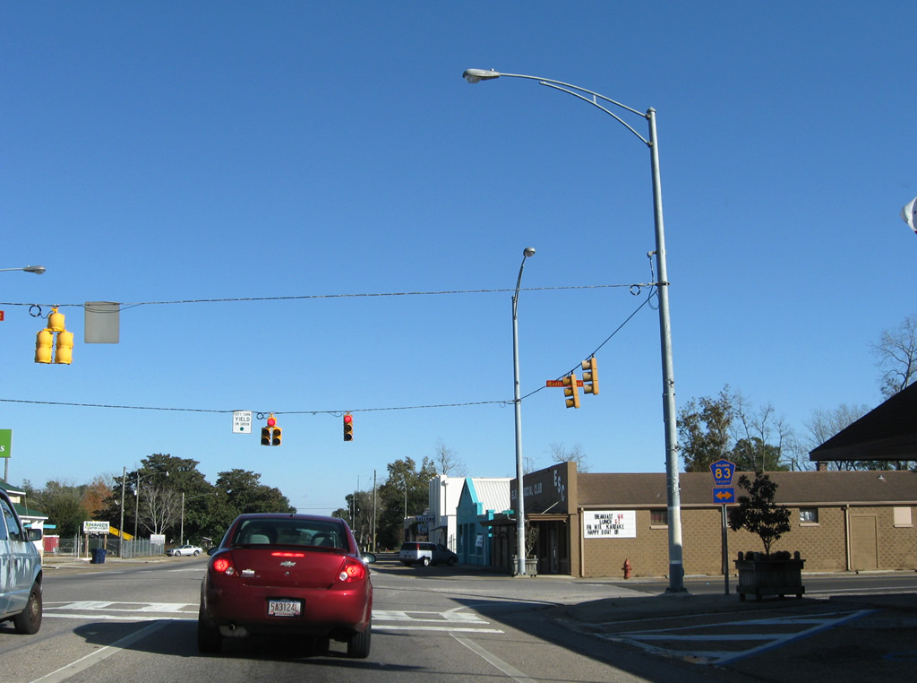
| U.S. 98 enters the town of Elberta and approaches County Road 83 (Main Street). 11/30/08 |
|
| Heading south, County Road 83 joins central Elberta with County Road 20 at Miflin. A four mile drive carries drivers northward to County Road 32. Additional sections of the route lie north of County Road 32, at Summerdale, and from U.S. 90 to County Road 64. The corridor north from Greenwood Road doubles as the future path of the Baldwin Beach Express. 11/30/08 |
|
| State Street continues U.S. 98 east through Elberta. 11/30/08 |
|
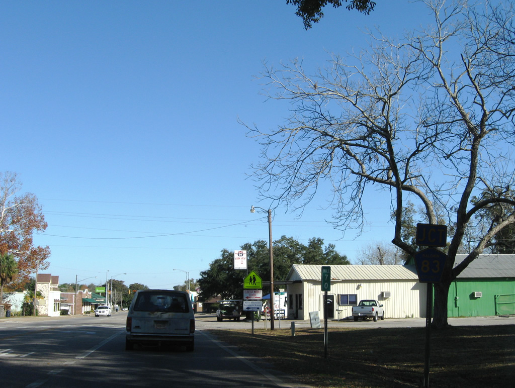
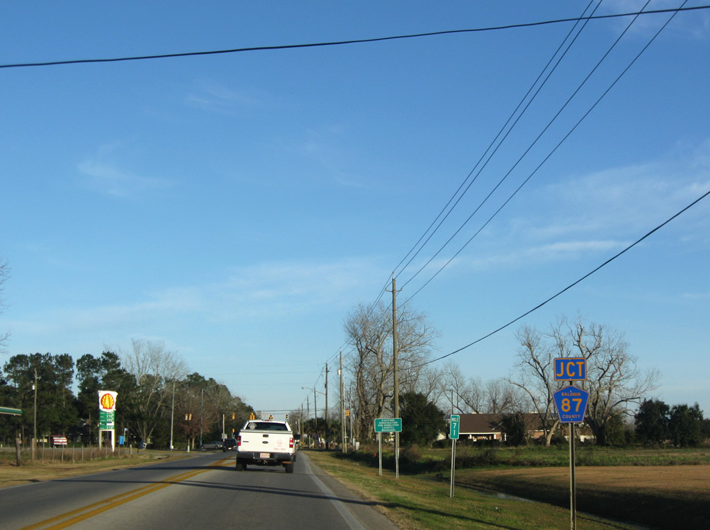
| CR 87 intersects U.S. 98 on the eastern outskirts of Elberta. CR 87 south enters Elberta from Gateswood (County Road 112) and Elsanor (U.S. 90). 01/03/10 |
|
| U.S. 98 east at County Road 87. County Road 87 south forks into two routes in one mile: the western branch spurs to Twin Branch Lane, serving a handful of residences, the eastern segment follows Feely Road east to Stucki Road south, connecting U.S. 98 with County Road 20 near Hammock Creek. 07/31/10 |
|
| Two miles east of CR 87, U.S. 98 approaches County Road 95. 07/31/10 |
|
| County Road 95 ventures south to NAS Whiting OLF Wolf and Arnica Bay; connections with County Road 42 lead east to Josephine and west to Hammock Bay. The county highway concludes three miles north at CR 32. 07/31/10 |
|
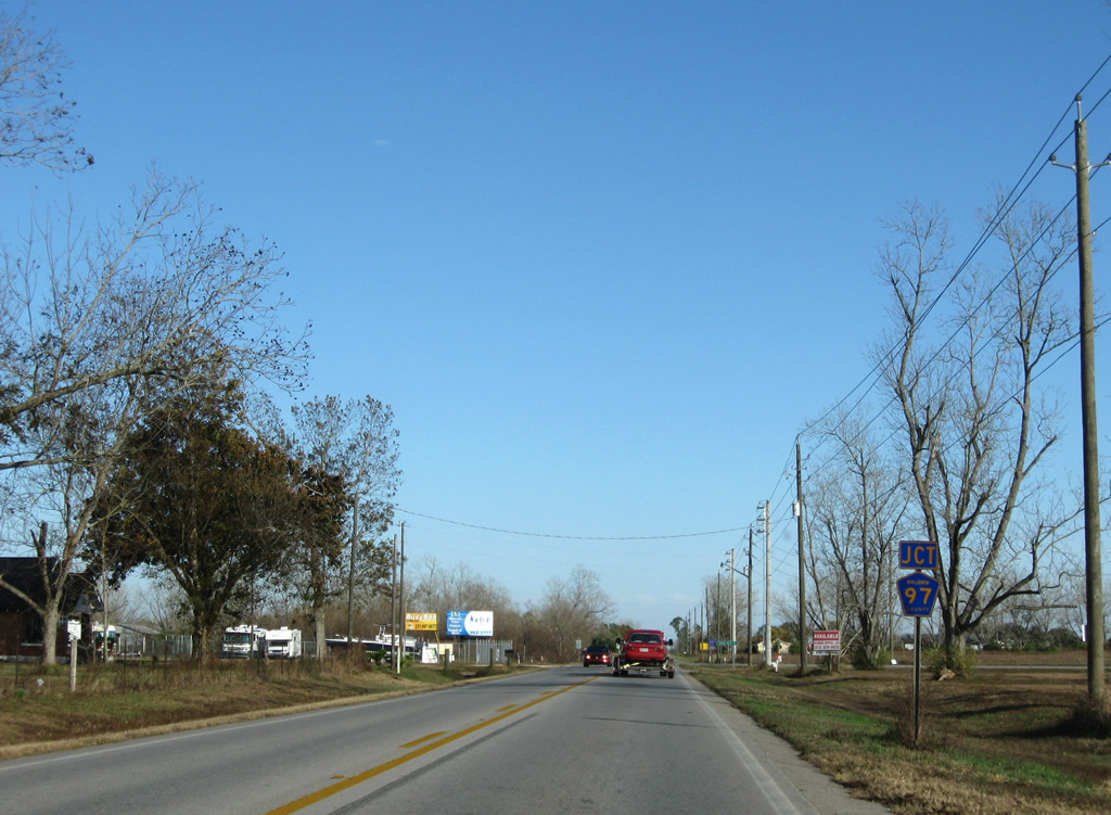
| Another 2.25 miles of rural U.S. 98 bring eastbound motorists to County Road 97 (Perdido Road). 11/30/08 |
|
| CR 97 (Perdido Road) links U.S. 98 with the town of Perdido Beach. Perdido Beach incorporated in June 2009 and lies between Palmetto and Soldier Creek on Perdido Bay. 07/31/10 |
|
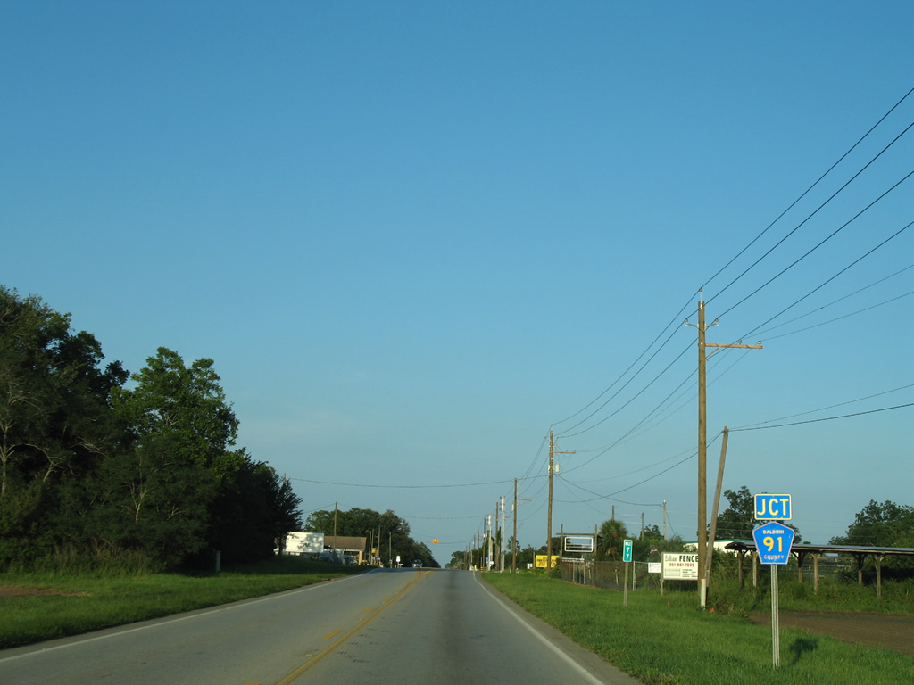
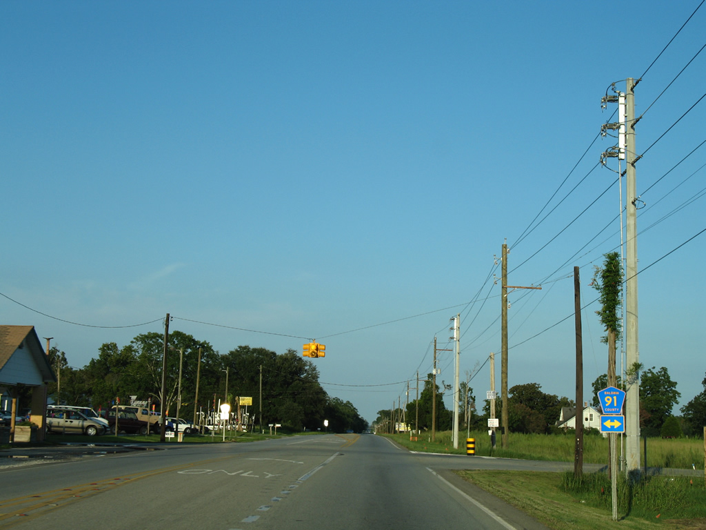
| Next in line for eastbound drivers on U.S. 98 is CR 91. 08/01/06 |
|
| South of U.S. 98, County Road 91 continues to County Road 99 (Randolf Avenue) and an end by Solider Creek and Perdido Bay. Northward the road peters out in 3.5 miles near Helton Bay. Long range talks focus on a new north-south corridor between U.S. 98 and Interstate 10 east following perhaps the County Road 91 corridor. 08/01/06 |
|
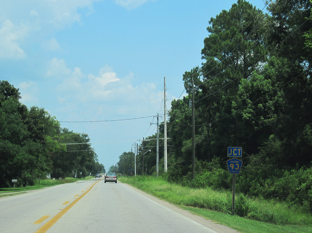
| County Road 93 parallels County Road 91, one mile to the east from U.S. 98 northward. 07/31/10 |
|
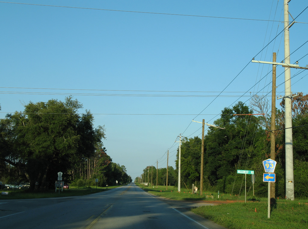
| Hillcrest Road north and County Road 93 south come together at U.S. 98 outside of Lillian. CR 93 travels just 2.5 miles from U.S. 98 to Bishop Trace. During the real estate surge of the mid-2000s, a large development named Blackwater Plantation was touted for a swampy area along the Blackwater River. Had this land been developed, County Road 93 would provide one of the access roads. 08/01/06 |
|
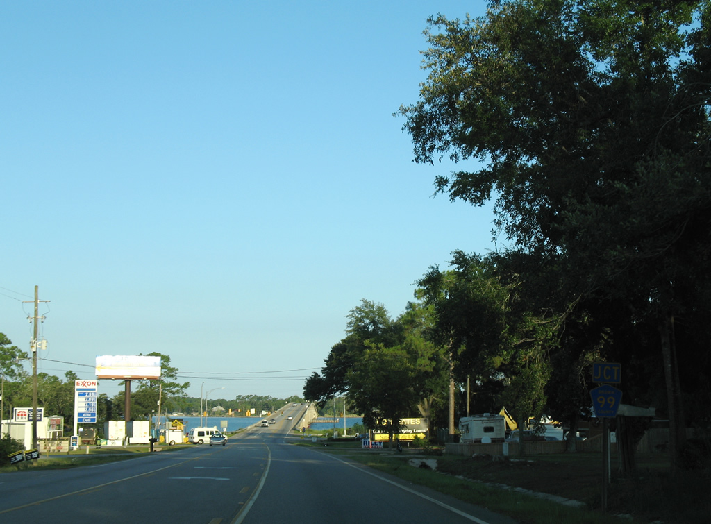
| U.S. 98 shifts southeast from Barclay Avenue in Lillian toward the Perdido Bay bridge. Meeting U.S. 98 last in Alabama is CR 99. 08/01/06 |
|
| CR 99 follows the periphery of Perdido Bay through Lillian. The county highway travels north to Boykin Boulevard east to Lillian Beach and southwest to the Spanish Cove community and Soldier Creek Road west of County Road 91. 08/01/06 |
|
| Rising to cross Perdido Bay from near Chagrin Point in Lillian on U.S. 98 east. This bridge is one of five crossings between Baldwin County, Alabama and Escambia County, Florida. The others are SR 182 / SR 292, U.S. 90, Interstate 10, and CR 112 / Escambia County 184. 11/30/08 |
Page Updated 09-06-2011.


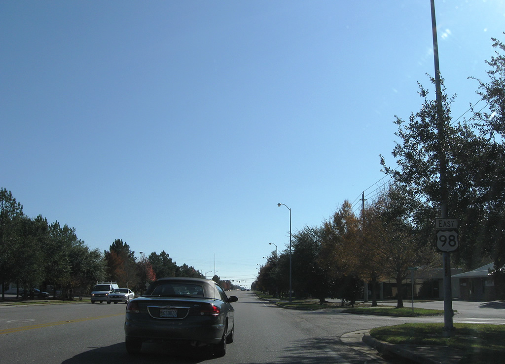
 East
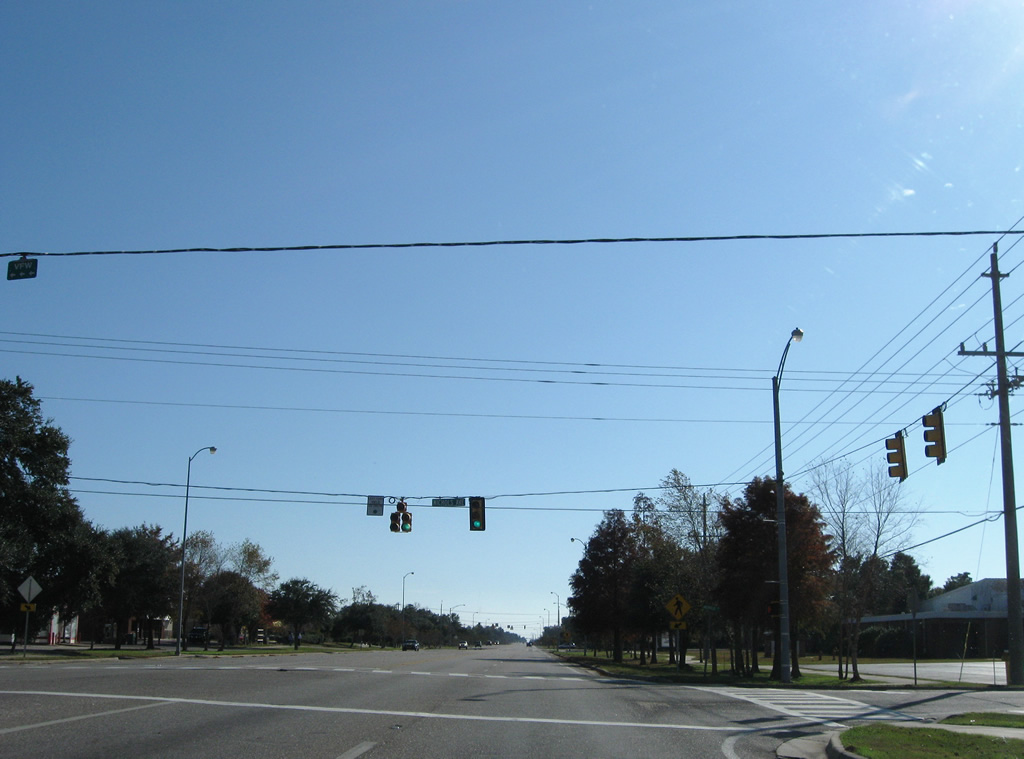
East