|
| Delays from the Bob Sikes Bridge toll plaza on holiday or summer weekends occasionally back up traffic along U.S. 98 eastbound back into Pensacola. Capacity issues across Pensacola Bay will be addressed when the second three-lane span opens to traffic in 2021. 05/15/14 |
|
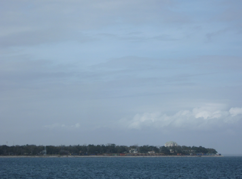
| Northerly view from the Pensacola Bay Bridge at Emanuel Point and western reaches of Escambia Bay. 03/08/09 |
|
| Clear days reveal the Garcon Point Bridge (SR 281) across East Bay, east of the Pensacola Bay Bridge. 10/01/09 |
|
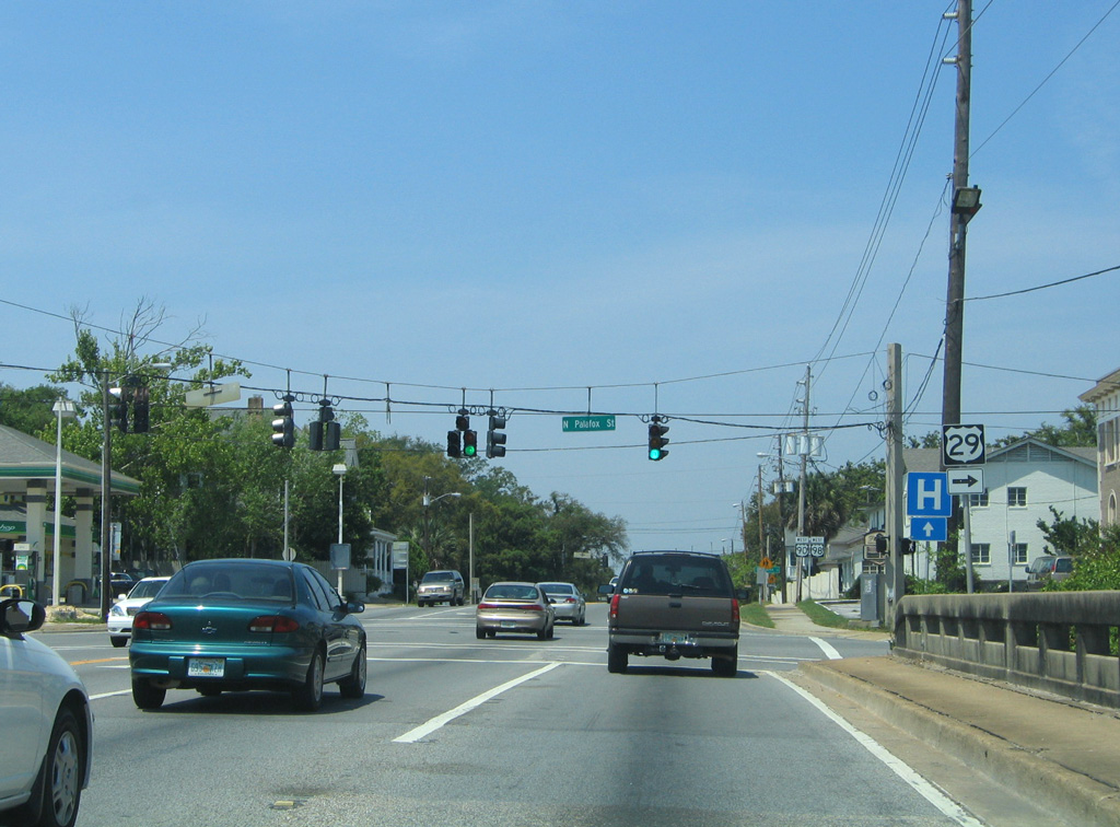
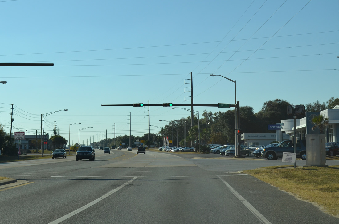
| 17th Avenue intersects U.S. 98 at a signalized intersection beyond the north end of the Pensacola Bay Bridge. FDOT announced on June 8, 2018 that the 17th Avenue Interchange Project will run simultaneously with the new bridge project, with both completed in 2021.1 11/19/15 |
|
| Nearing the north shore of Pensacola Bay, U.S. 98 passes by a fishing pier constructed in place of the old bridge damaged by Hurricane Ivan. The pier opened in 2009. 05/13/16 |
|
| U.S. 98 reaches land at Wayside Park and curves westward to 17th Avenue North and the split with Bayfront Parkway (State Road 196). A flyover will be constructed for westbound traffic over a roundabout joining ramps with U.S. 98 and SR 196 from 17th Avenue. 05/15/14 |
|
| U.S. 98 westbound expands to three lanes with a right turn lane for 17th Avenue north. An Interstate 110 trailblazer directs motorists onto Gregory Street for the freeway.
Upgrades here will add a fourth lane, and a left exit for SR 196 (Bayfront Parkway). 05/15/14 |
|
| 17th Avenue links U.S. 98 with U.S. 90 (Cervantes Street) to the north. Doubling as the pre-1955 alignment of U.S. 98, the two lane street provides a short-cut for motorists bound for Scenic Highway or 12th Avenue. 11/19/15 |
|
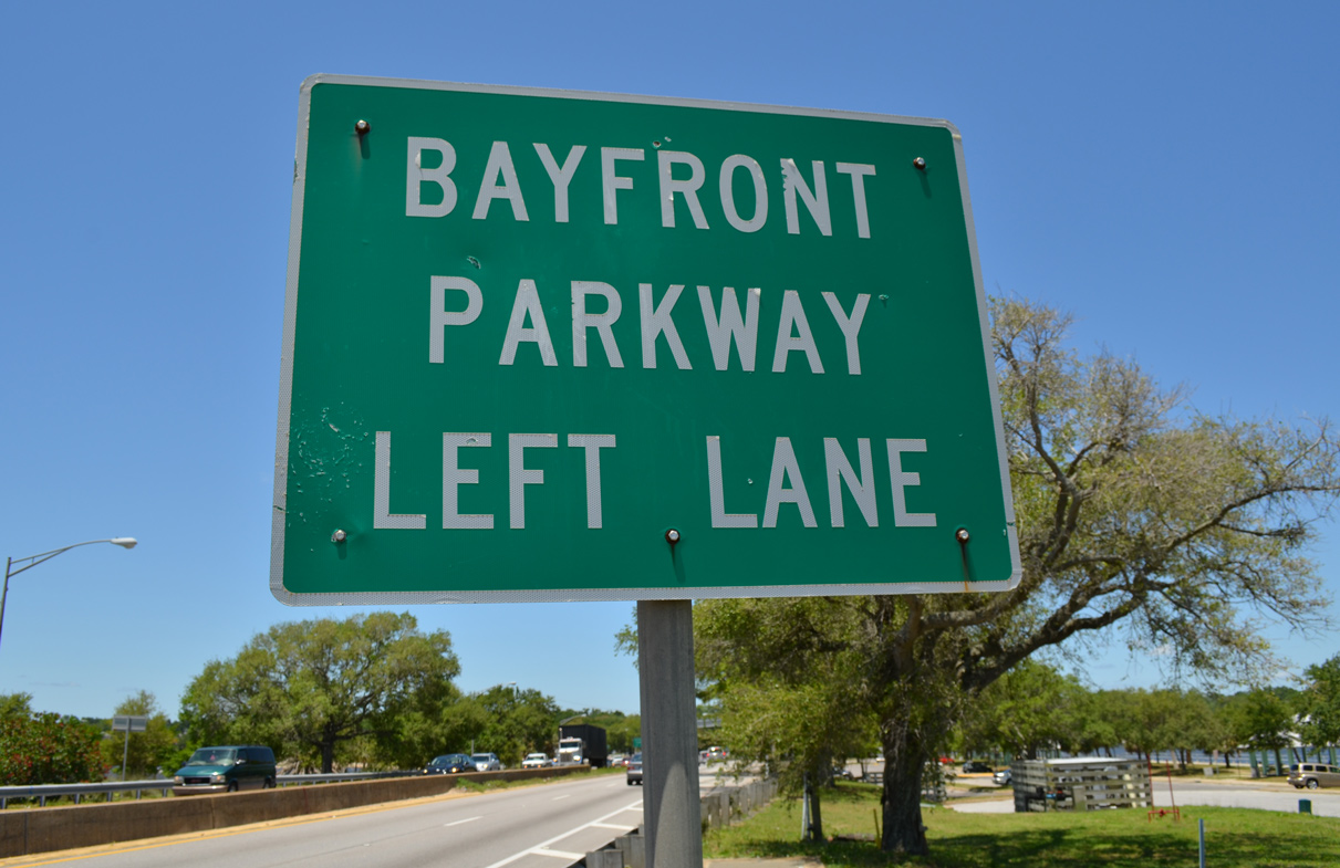
| Bayfront Parkway parts ways with U.S. 98 west from the left and carries SR 196 westward to Tarragona Street and Downtown along Pensacola Bay. 11/19/15 |
|
| U.S. 98 partitions into the one way street couplet along Gregory Street (westbound) and Chase Street (eastbound) between 17th Avenue and Ninth Avenue ahead of I-110. 11/19/15 |
|
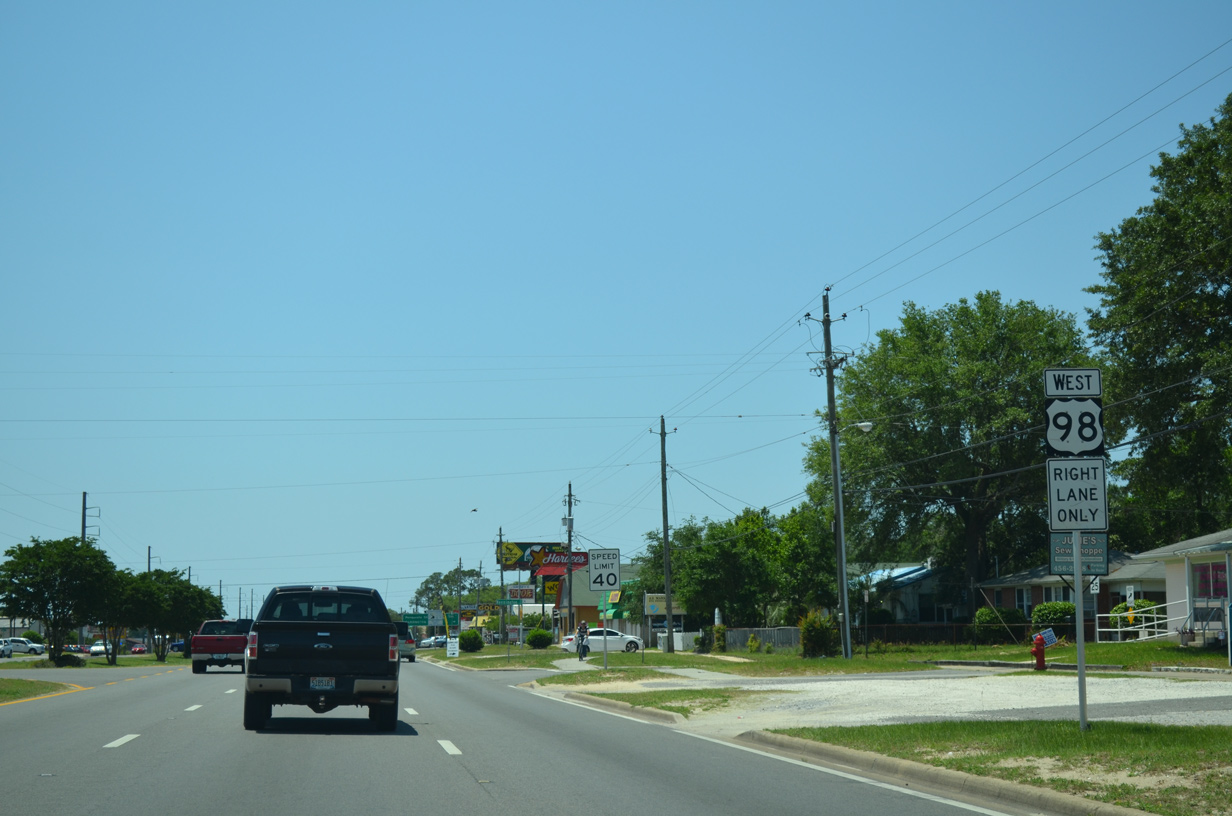
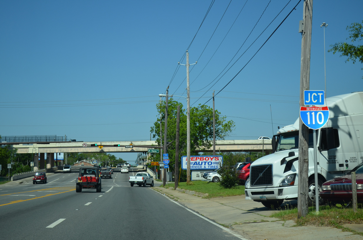
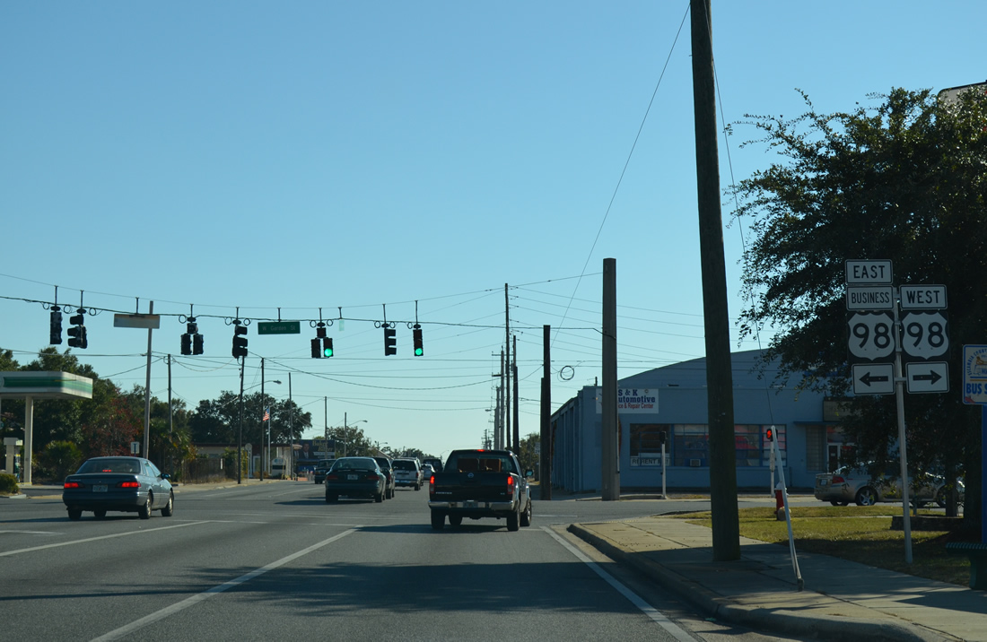
| U.S. 98 splits with U.S. 98 Business ahead of Pensacola Bay Center and turns north along Ninth Avenue (SR 289) to U.S. 90 (Cervantes Street). Gregory Street extends west as U.S. 98 Business to Interstate 110; I-110 heads north to Pensacola International Airport (PNS) and I-10 near Ferry Pass. 11/19/15 |
|
| U.S. 98 Business follows Gregory Street westbound to Alcaniz and Garden Streets en route to Downtown Pensacola. SR 30 overlays the bannered route to U.S. 98 at Pace Boulevard (SR 292). 08/23/09 |
|
| U.S. 98 signage disappears from Gregory Street until the westbound split from Ninth Avenue (SR 289) at U.S. 90 (Cervantes Street). U.S. 90 enters the overlap from Bayou Texar and Scenic Highway to the east. State Road 289 follows all of Ninth northward to Cordova Mall, Pensacola State College, and Olive Road (former SR 290). 08/10/11 |
|
| U.S. 98 combines with U.S. 90 west along Cervantes Street for 2.062 miles. Cervantes Street is a five lane boulevard between SR 289 (Ninth Avenue) and A Street. 05/16/14 |
|
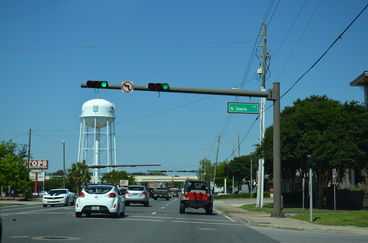
| Westbound U.S. 90/98 (Cervantes Street) at the unmarked intersection with SR 291 (Davis Street) north. 05/16/14 |
|
| SR 291 follows Martin Luther King, Jr. Drive southward from SR 752 (Texar Drive) to Cervantes Street. The state road extends another six blocks along Alcaniz Street to U.S. 98 Business by the Pensacola Bay Center. 05/16/14 |
|
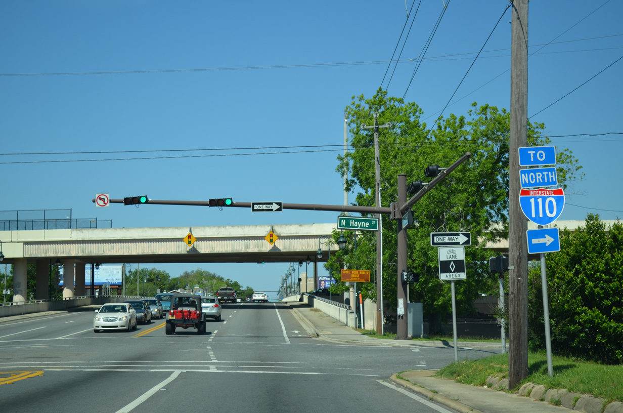
| U.S. 90/98 advance one block west from SR 291 to Hayne Street and a half diamond interchange with Interstate 110. 05/16/14 |
|
| Hayne Street parallels Interstate 110 north from Wright Street to the Maxwell Street on-ramp. 05/16/14 |
|
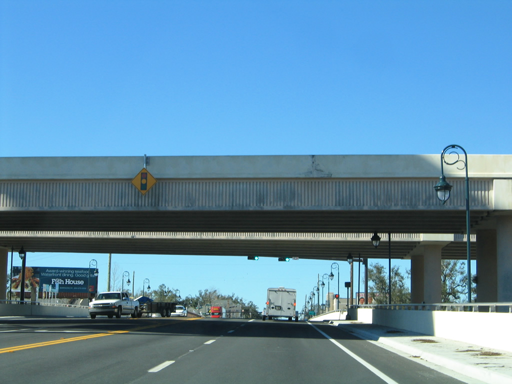
| Cervantes Street elevates on a short viaduct spanning a CSX Railroad line, Tarragona Street and Guillemard Street west from I-110 to U.S. 29 (Palafox Street). 01/31/06 |
|
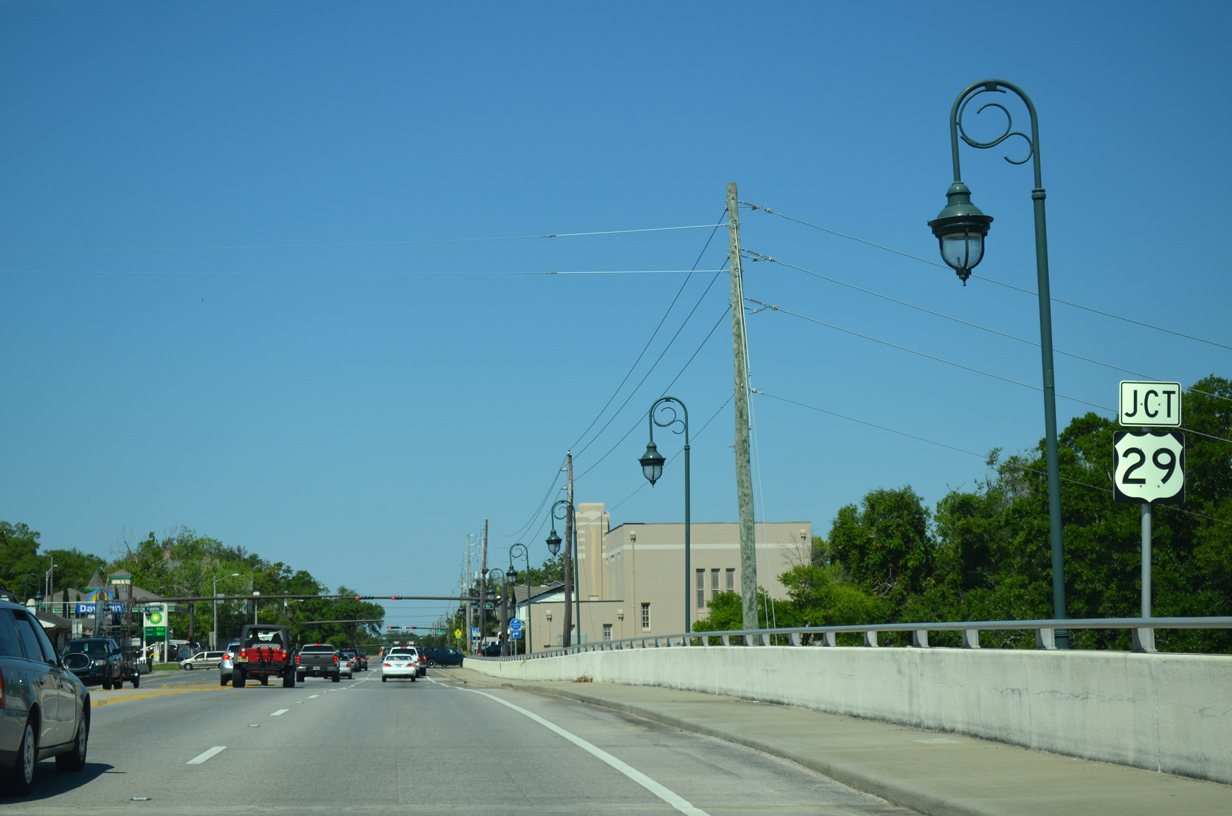
| The Cervantes Street Bridge ties into the south end of U.S. 29 at Palafox Street. 11/17/12 |
|
| This U.S. 29 shield posted along U.S. 90/98 (Cervantes Street) west at Palafox Street was never replaced. Locally Palafox Street north carries four lanes between Cervantes Street and SR 292 (Pace Boulevard). Palafox Street south leads to Historic Downtown Pensacola. 05/08/04 |
|
| Confirming markers for U.S. 90/98 westbound posted after U.S. 29 (Palafox Street) on Cervantes Street. 05/16/14 |
|
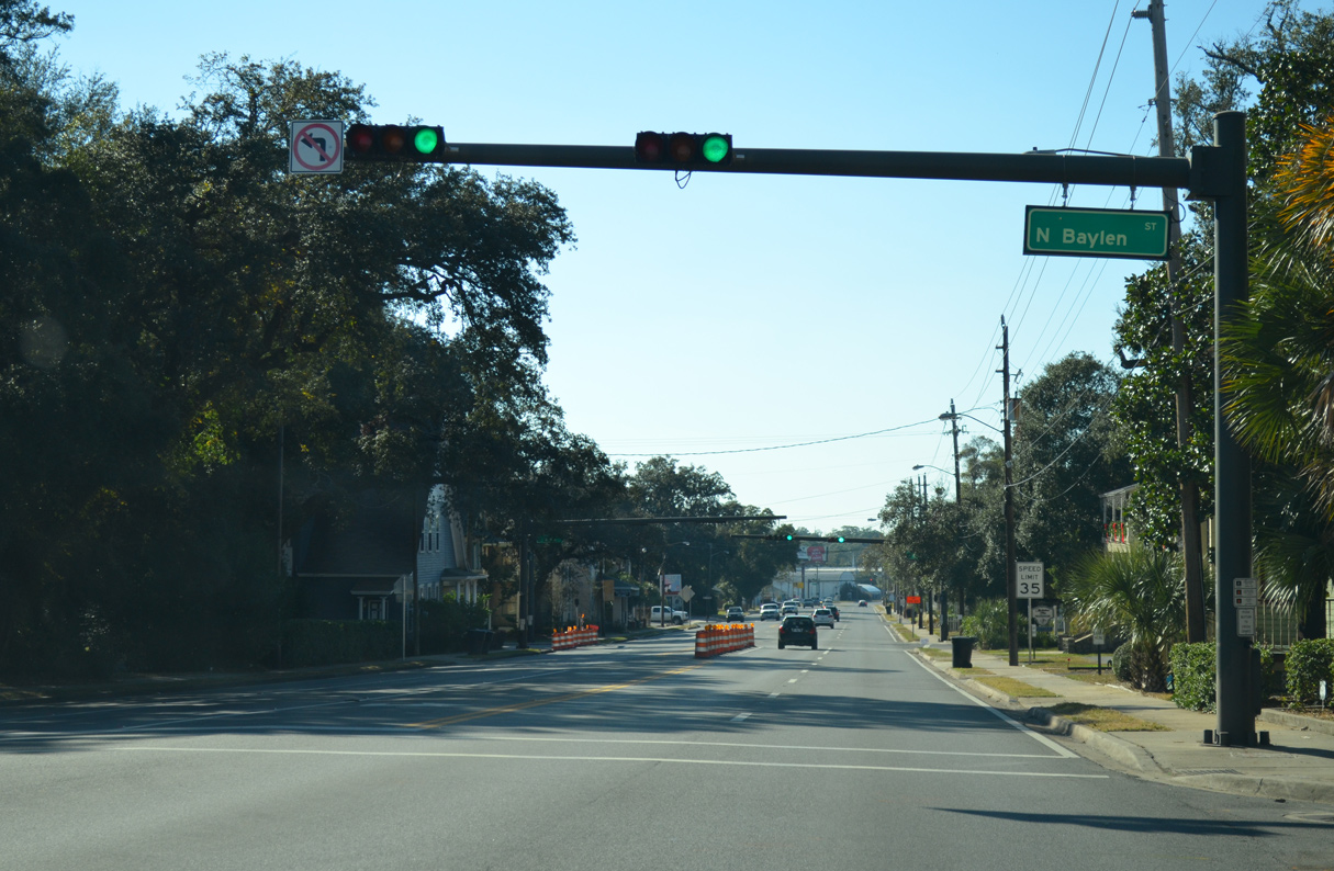
| One block west of U.S. 29 on Cervantes Street at Baylen Street. 11/17/12 |
|
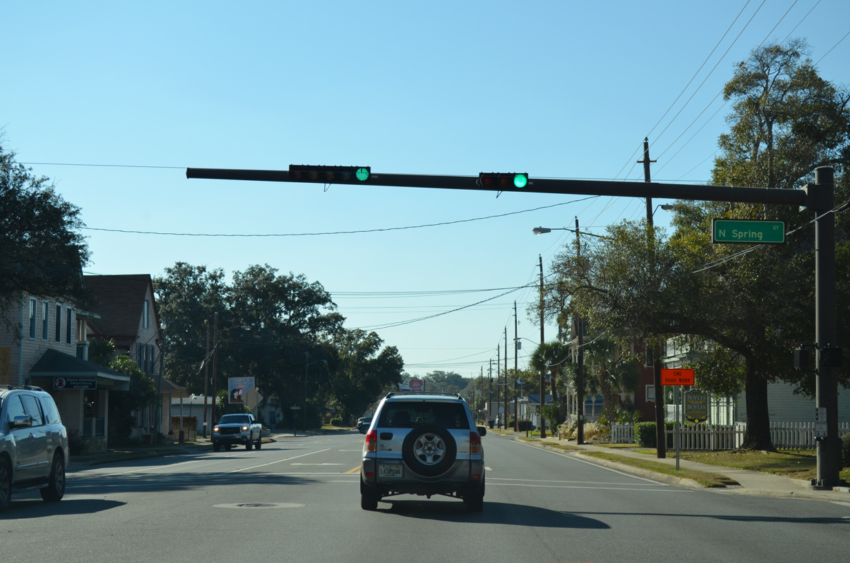
| The succeeding traffic light along U.S. 90/98 westbound is with Spring Street. A November 2012 project restriped the street from southbound only to two-way traffic. 11/17/12 |
|
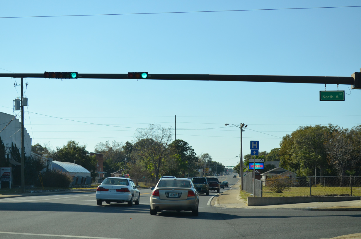
| U.S. 90/98 (Cervantes Street) kink westward at A Street to follow the city street grid of alphabetized streets. 11/17/12 |
|
| U.S. 90/98 westbound reassurance shields posted between A and B Streets on Cervantes Street. 11/17/12 |
|
| Forthcoming E Street was once a part of County Road 453 north to SR 752 (Texar Drive). The route is not marked along the three-lane boulevard. 11/17/12 |
|
| E Street extends south from U.S. 90/98 (Cervantes Street) to Sanders Beach. 11/17/12 |
|
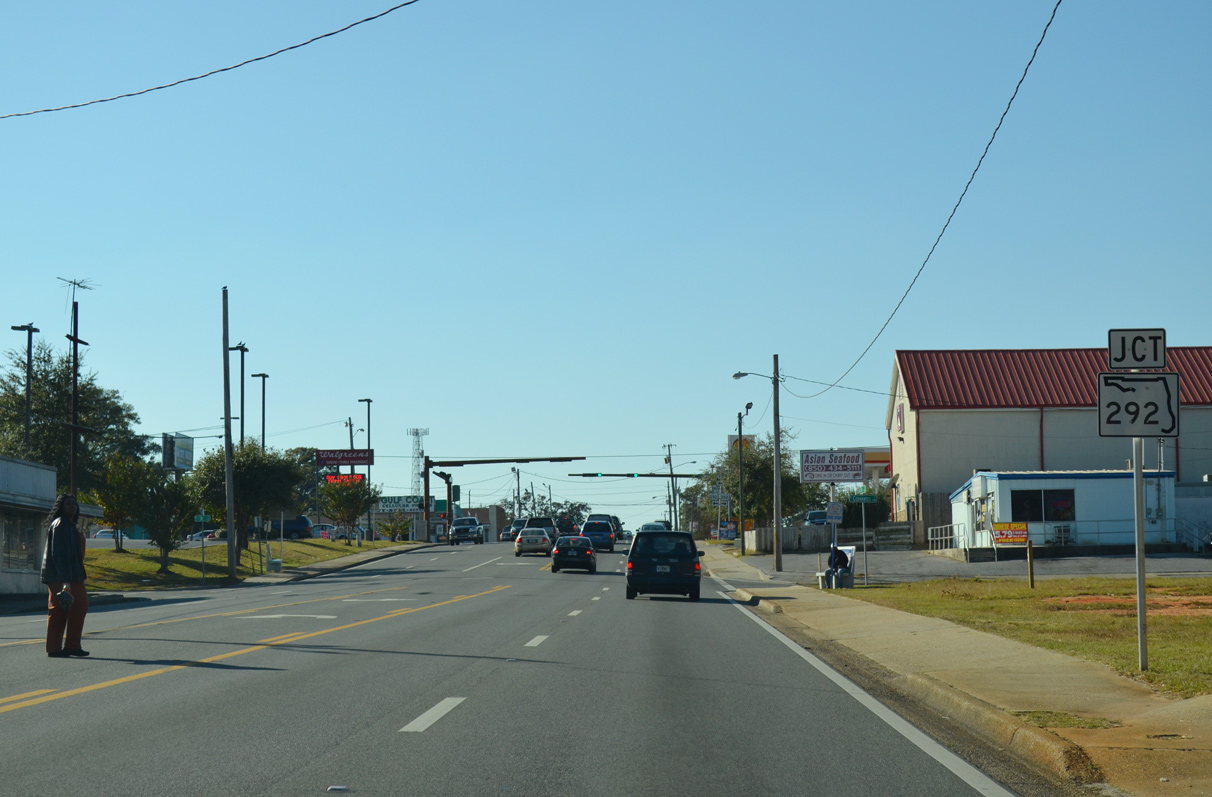
| Approaching the partition of U.S. 90/98 at SR 292 (Pace Boulevard). SR 292 follows Pace Boulevard between U.S. 29 (Palafox Street) and Barrancas Avenue to the south. 11/17/12 |
|
| U.S. 90 continues on Cervantes Street to Brownsville and West Pensacola. 11/17/12 |
|
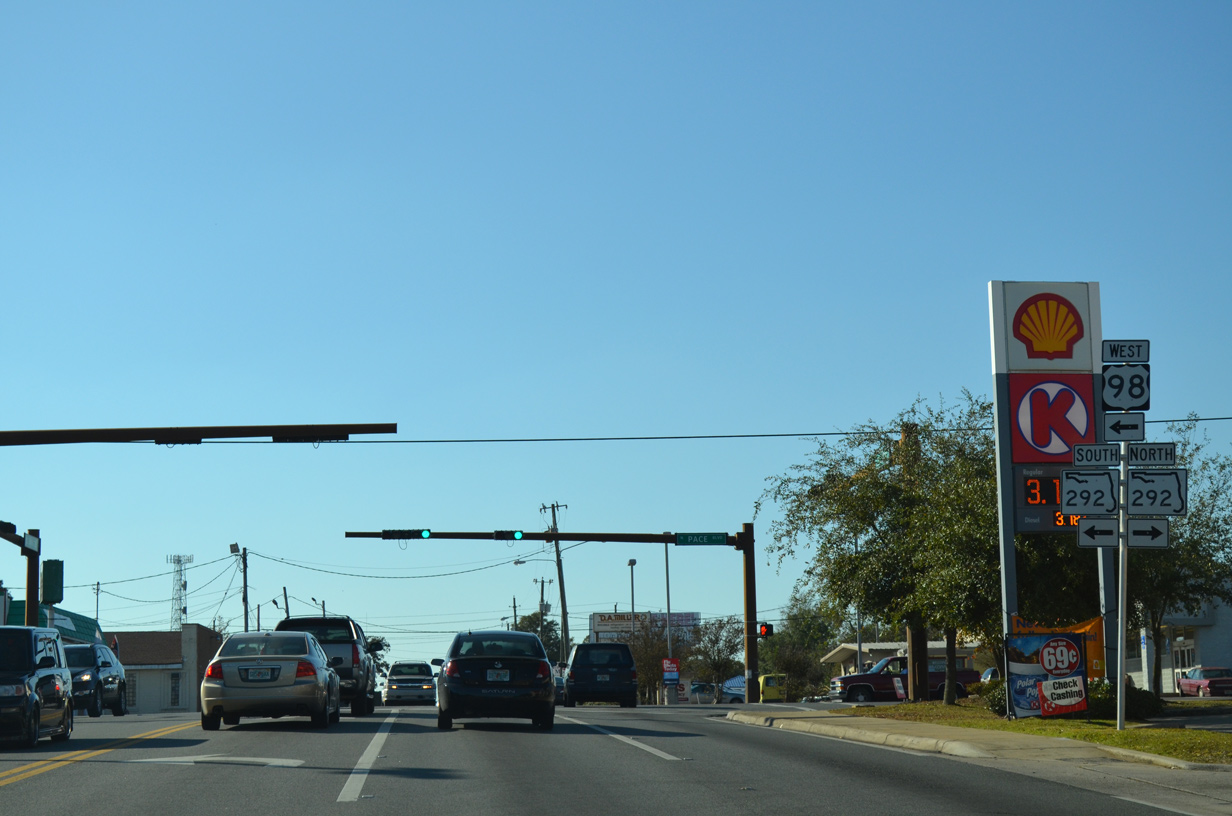
| Reassurance markers posted for U.S. 98 west & SR 292 south of Cerventes Street. The two share eight blocks of Pace Boulevard. 11/17/12 |
|
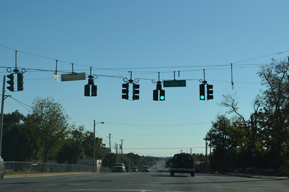
| Jackson Street crosses Pace Boulevard two blocks south of U.S. 90 (Cerventes Street). The road doubles as unsigned County Road 298A west to SR 727 (Fairfield Drive) through Myrtle Grove. 11/17/12 |
|
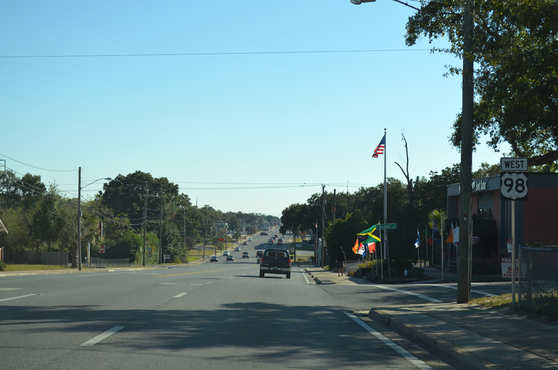
| A shield for U.S. 98 west stands on the block leading to Belmont Street. The marker appears due to the county road status of Jackson Street. 11/17/12 |
|
| U.S. 98 resumes westward from SR 292 (Pace Boulevard) for Navy Boulevard as U.S. 98 Business returns to its parent from Garden Street east. 11/17/12 |
|
| Two blocks west of SR 292 (Pace Boulevard) along U.S. 98 (Navy Boulevard) west at Q Street. There are no shields posted for U.S. 98 west between SR 292 and 295. 11/17/12 |
|
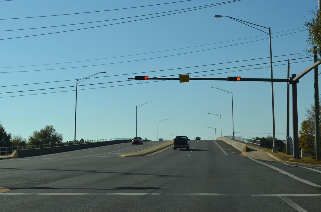
| U.S. 98 (Navy Boulevard) crosses over the Alabama & Gulf Coast Railway spur on a 2002-built bridge. 05/16/14 |
|
| W Street begins and travels north as County Road 453 (unmarked from U.S. 98 west) to Brownsville, Brent and U.S. 29 (Pensacola Boulevard). 11/17/12 |
|
| U.S. 98 shield formerly posted on Navy Boulevard beyond the south end of CR 453 (W Street). U.S. 98 follows a concrete roadway westward 1.7 miles to the merge with SR 295 (New Warrington Road). 05/08/04 |
|
| Spanning Bayou Chico, U.S. 98 (Navy Boulevard) exits the city limits of Pensacola for West Pensacola. 11/17/12 |
|
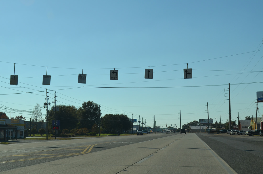
| A series of lane control signs hang on span wires above Navy Boulevard between the Bowling Green and Westerly Heights neighborhoods through West Pensacola. Several antique shops line U.S. 98 along this stretch. 11/17/12 |
|
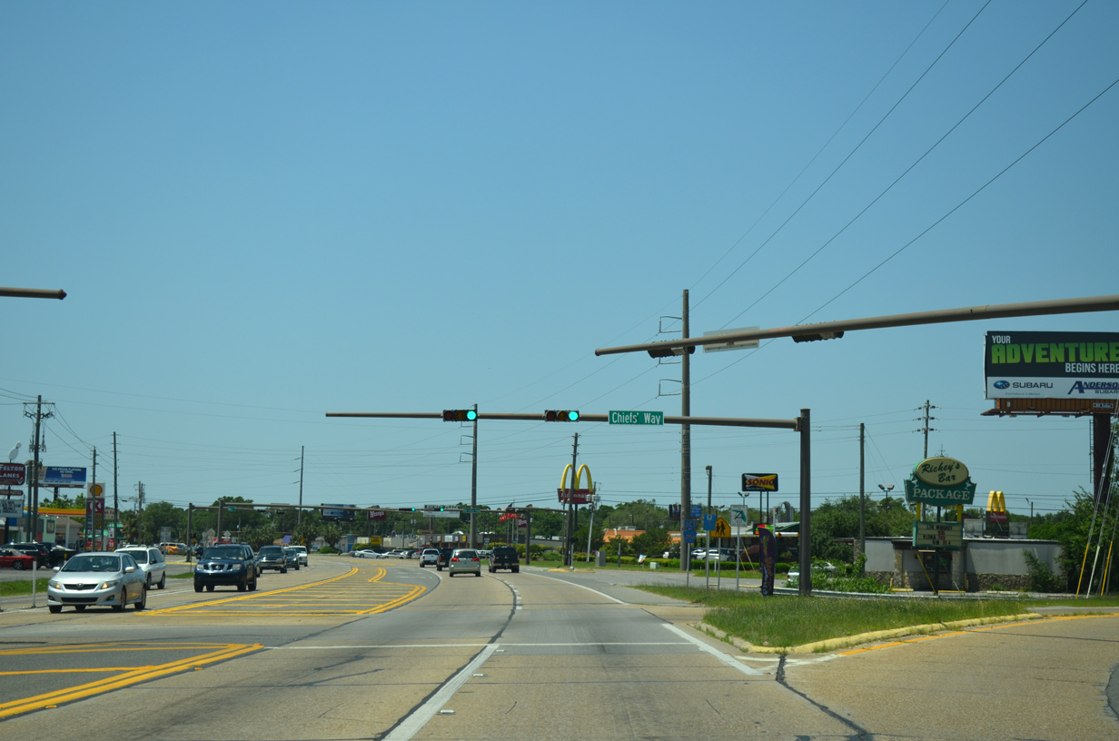
| Navy Boulevard veers southward from Chief's Way (State Road 294). SR 294 is a 0.209 mile connector that was previously a part of the U.S. 98 mainline west to New Warrington Road (SR 295). 05/16/14 |
|
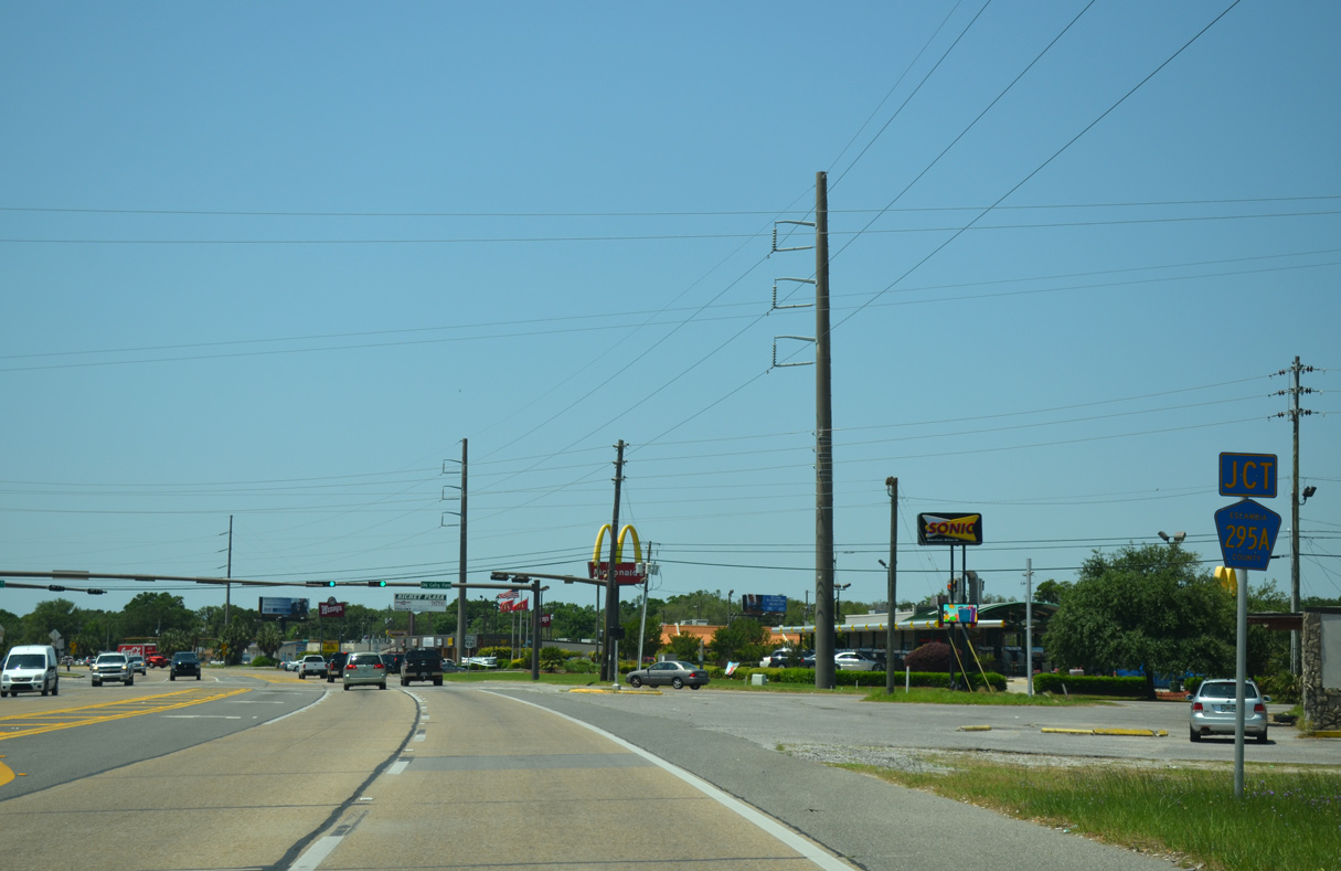
| U.S. 98 west intersects Escambia County Road 295 (Old Corry Station Road) immediately after the split SR 294 (Chief's Way). This north-south road represents the four lane alignment of SR 295 to the east. 05/16/14 |
|
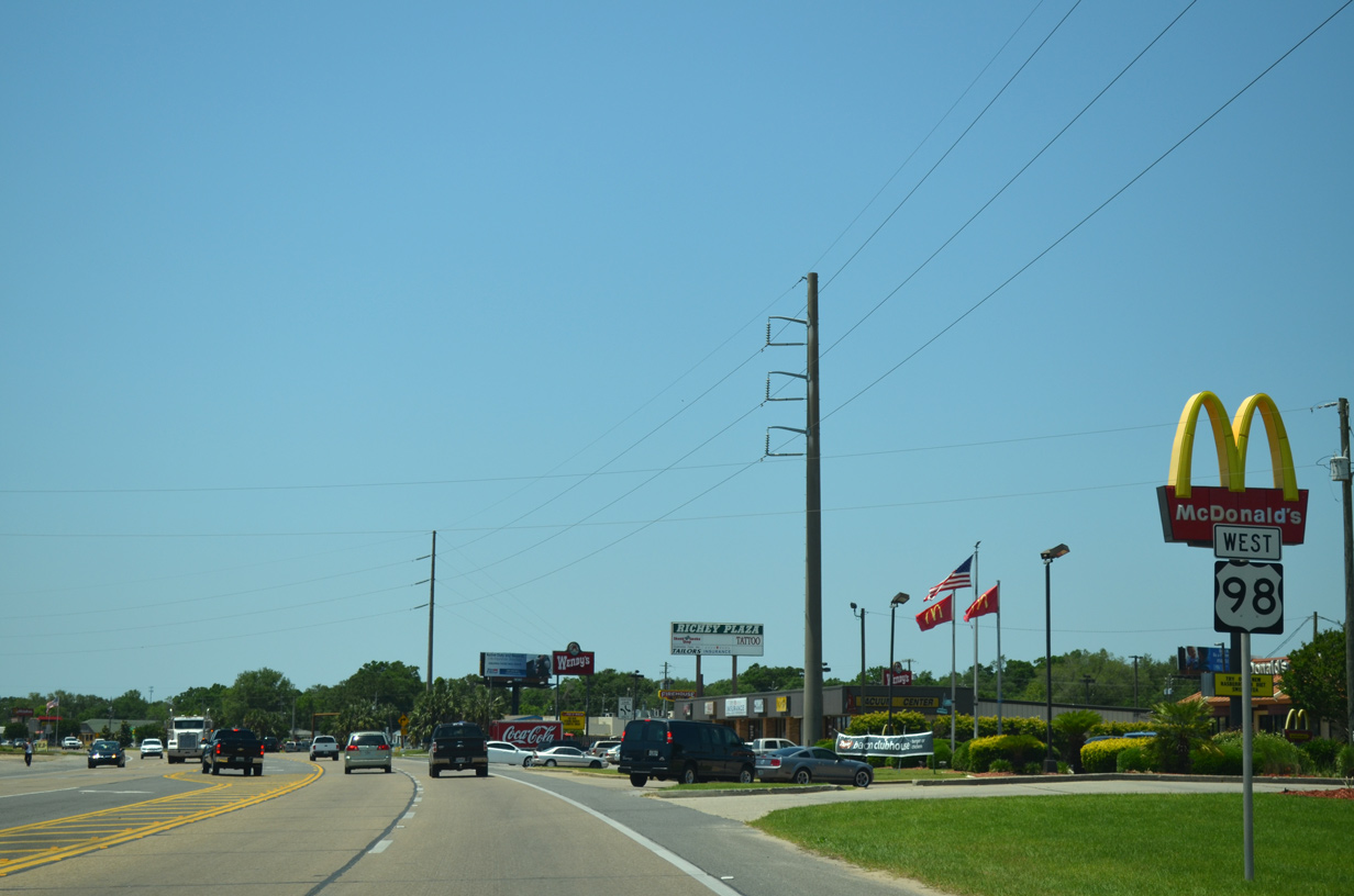
| Several fast food franchises and a strip mall line Navy Boulevard ahead of the U.S. 98 merge with SR 295. This is the first U.S. 98 shield posted west since the split with SR 292 in Pensacola. 05/16/14 |
|
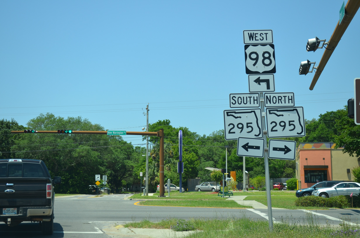
| Westbound U.S. 98 at SR 295 (New Warrington Road). SR 295 ventures north from Navy Boulevard through West Pensacola to Fairfield Drive along an 8.23 mile course. The state road ends at SR 289 in north Pensacola. 05/16/14 |
|
| U.S. 98 west & SR 295 south combine for just 0.3 miles before splitting at Dr. Farin Drive. State Road 295 continues Navy Boulevard south to the main gate of Pensacola Naval Air Station. 05/16/14 |
|
| Approaching the signalized intersection with Dr. Farin Drive on U.S. 98 west & SR 295 (Navy Boulevard) south. 05/16/14 |
|
| Southbound Navy Boulevard at the partition of U.S. 98 west from SR 295 south. SR 295 continues south to Warrington and Bayou Grande. 05/16/14 |
|
| Heading west from SR 295 (Navy Boulevard), U.S. 98 travels south of Naval Training Center Corry Station ad Naval Hospital Pensacola. This stretch of highway was expanded to four lanes in 2001-02. 01/31/06 |
|
| Westbound at the traffic light for the Warrington Campus of Pensacola State College and Navy Exchange Boulevard north to Navy Mall and Corry Station. 01/31/06 |
|
| Reassurance marker for U.S. 98 posted between Navy Exchange Boulevard and Veterans Way north. 01/31/06 |
|
| 61st Avenue spurs north from U.S. 98 to the western gate of Corry Station at Lake Joanne Drive. 01/31/06 |
|
| 72nd Avenue heads north from U.S. 98 to through residential areas of West Jackson Terrace to Jackson Street (unsigned County Road 298A). 01/31/06 |
|
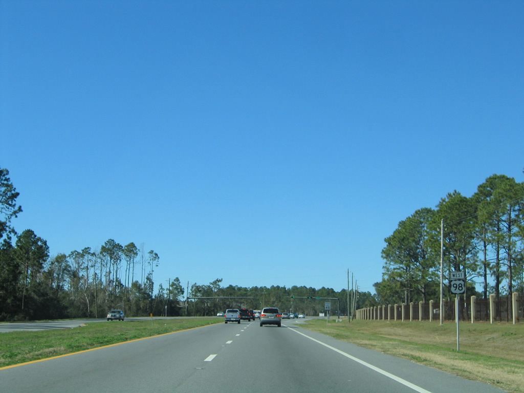
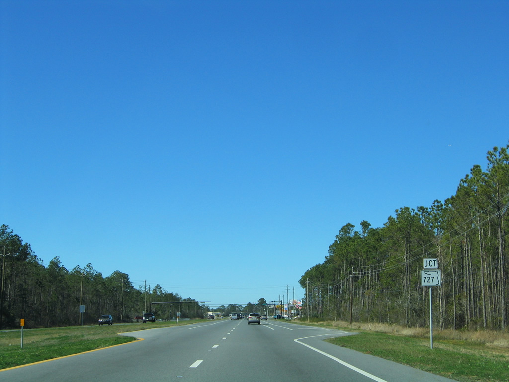
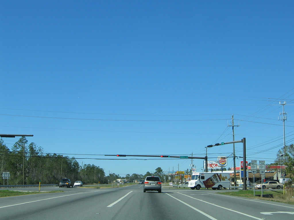
| U.S. 98 crosses paths with SR 727 (Fairfield Drive) at the succeeding traffic light. 01/31/06 |
|
| SR 727 constitutes a 6.83 mile loop around Myrtle Grove from SR 292 (Gulf Beach Highway), near Bayou Grande, to SR 295 near West Pensacola and Brownsville. 01/31/06 |
|
| U.S. 98 bends westward from SR 727 (Fairfield Drive) toward Millview. The south side of the divided highway remains vastly undeveloped while a handful of fast food eateries and other small business line the westbound lanes. 01/31/06 |
|
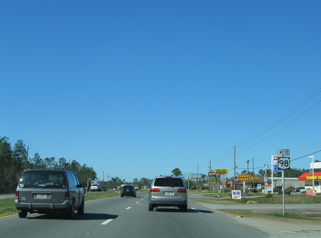
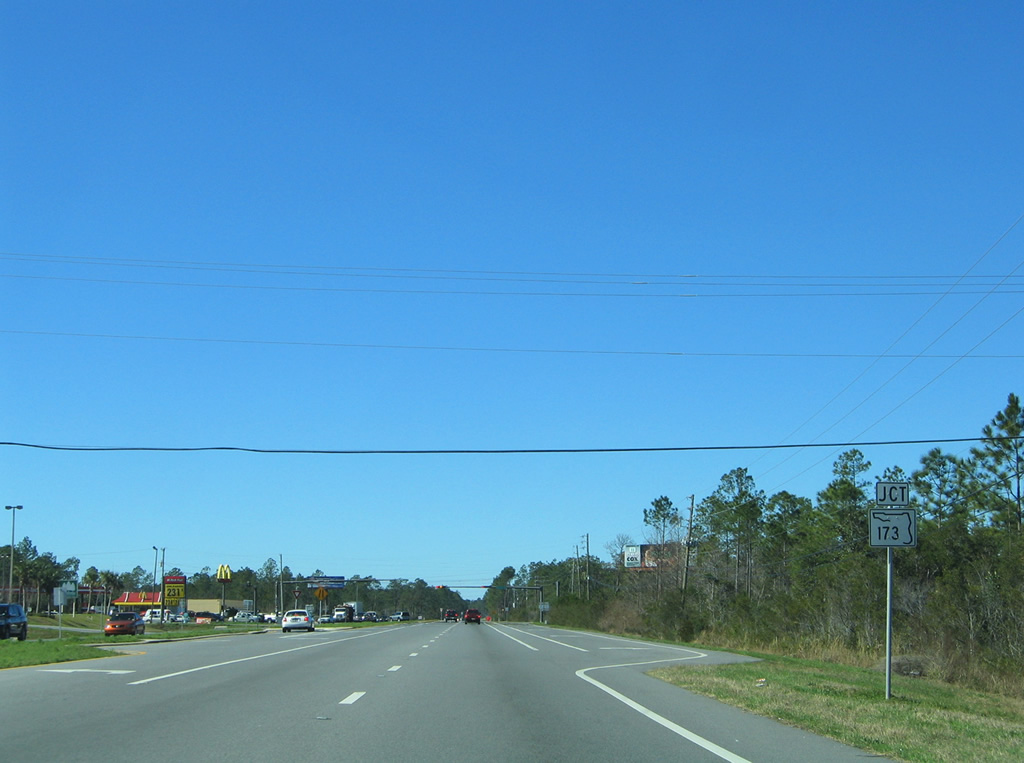
| Approaching SR 173 (Blue Angel Parkway) on U.S. 98 west. SR 173 comprises a 12.71 mile route through western reaches of the Pensacola area. 01/31/06 |
|
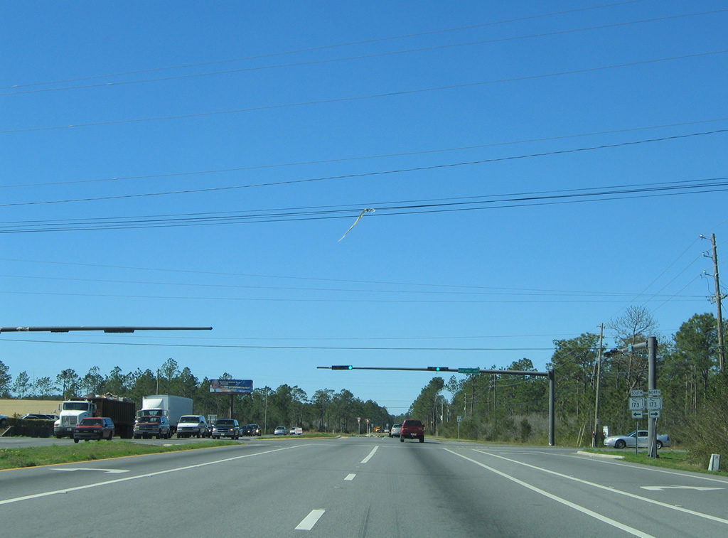
| Heading south, SR 173 curves from Pleasant Grove to the west gate of Pensacola Naval Air Station. Northward, SR 173 ventures to Saufley Field and Bellview, ending at SR 297 (Pine Forest Road). 01/31/06 |
|
| U.S. 98 narrows to two lanes west of Blue Angel Parkway. SR 298 west and Escambia County Road 297 north come together at the US route in Millview. 01/31/06 |
|
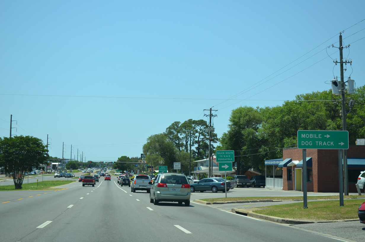
| Escambia County Road 297 follows Dog Track Road southeast 3.262 miles to Pensacola Greyhound Track and SR 292 (Gulf Beach Highway) at Pleasant Grove. 01/31/06 |
|
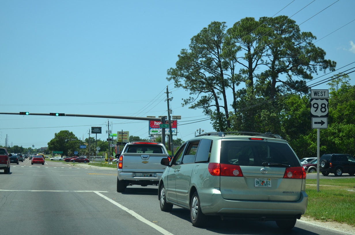
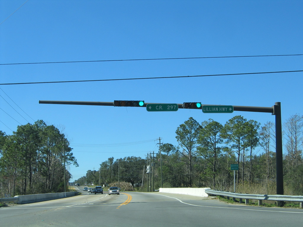
| Entering the signalized intersection with County Road 297 (Dog Track Road) south and SR 298 (Lillian Highway east). State Road 298 continues Lillian Highway east from U.S. 98 to Myrtle Grove and West Pensacola. 01/31/06 |
|
| U.S. 98 overtakes Lillian Highway west from SR 298 and Heron Bayou to Perdido Bay and Lillian, Alabama. SR 298 represents the original alignment of U.S. 98 east toward Pensacola. 01/31/06 |
|
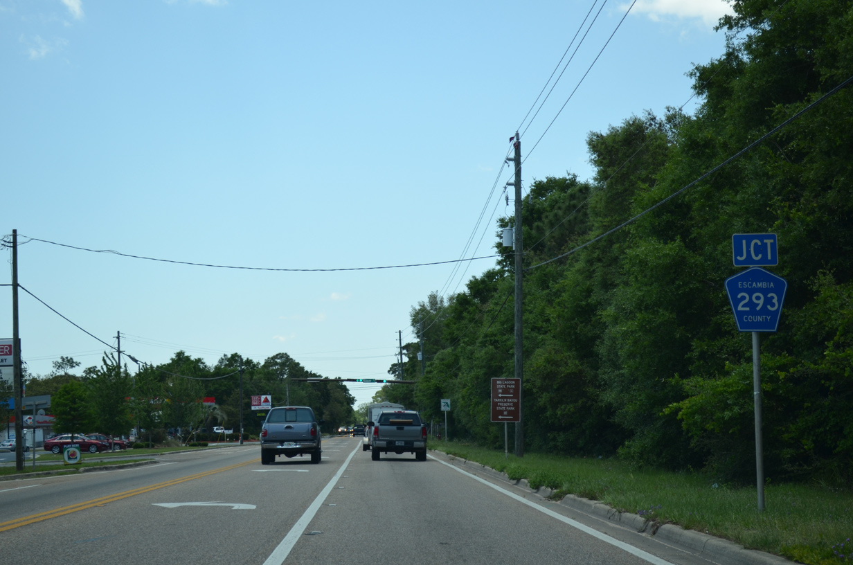
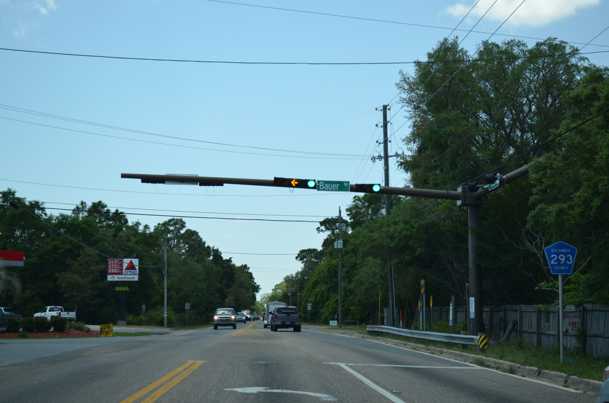
| U.S. 98 meets the north end of CR 293 (Bauer Road) near Paradise Beach and Blue Angel Recreation Park. 05/16/14 |
|
| Bauer Road leads southward from U.S. 98 (Lillian Highway), 3.936 miles through Tarkiln Bayou Preserve State Park to SR 292 (Sorrento Road) near Garcon Swamp. 05/16/14 |
|
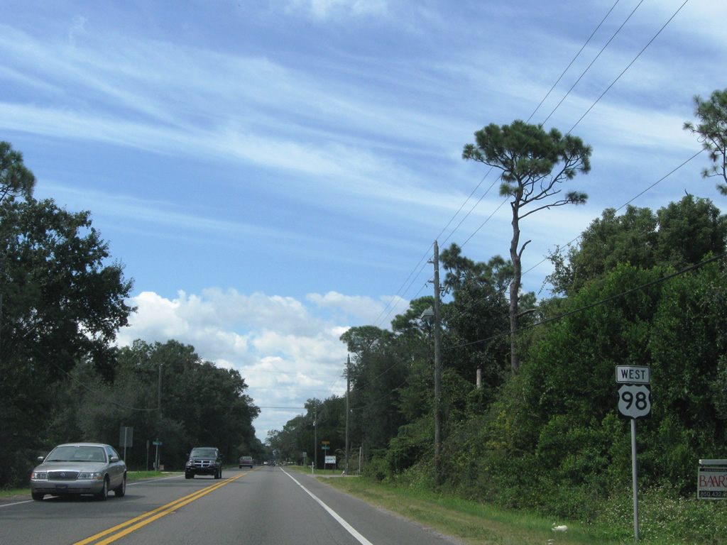
| Advancing west from CR 293, U.S. 98 travels just south of the Perdido Bay front through Paradise Beach. 10/01/09 |
|
| U.S. 98 (Seneca Parkway) westbound spans Perdido Bay across a bridge built in 1981. 01/31/06 |
|
| Crossing into Baldwin County, Alabama on U.S. 98 (Seneca Parkway) westbound over Perdido Bay, westbound motorists lower into Lillian on the 11 mile drive to Foley. 01/31/06 |
05/08/04, 01/31/06, 03/08/09, 08/23/09, 10/01/09, 08/10/11, 11/17/12, 05/15/14, 05/16/14, 11/19/15, 05/13/16 by AARoads
Page Updated 08-28-2018.


 West
West


 North
North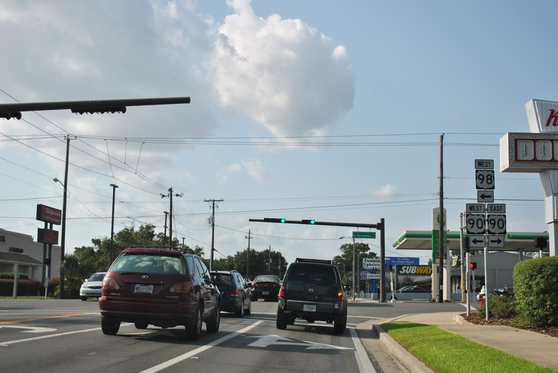


 South
South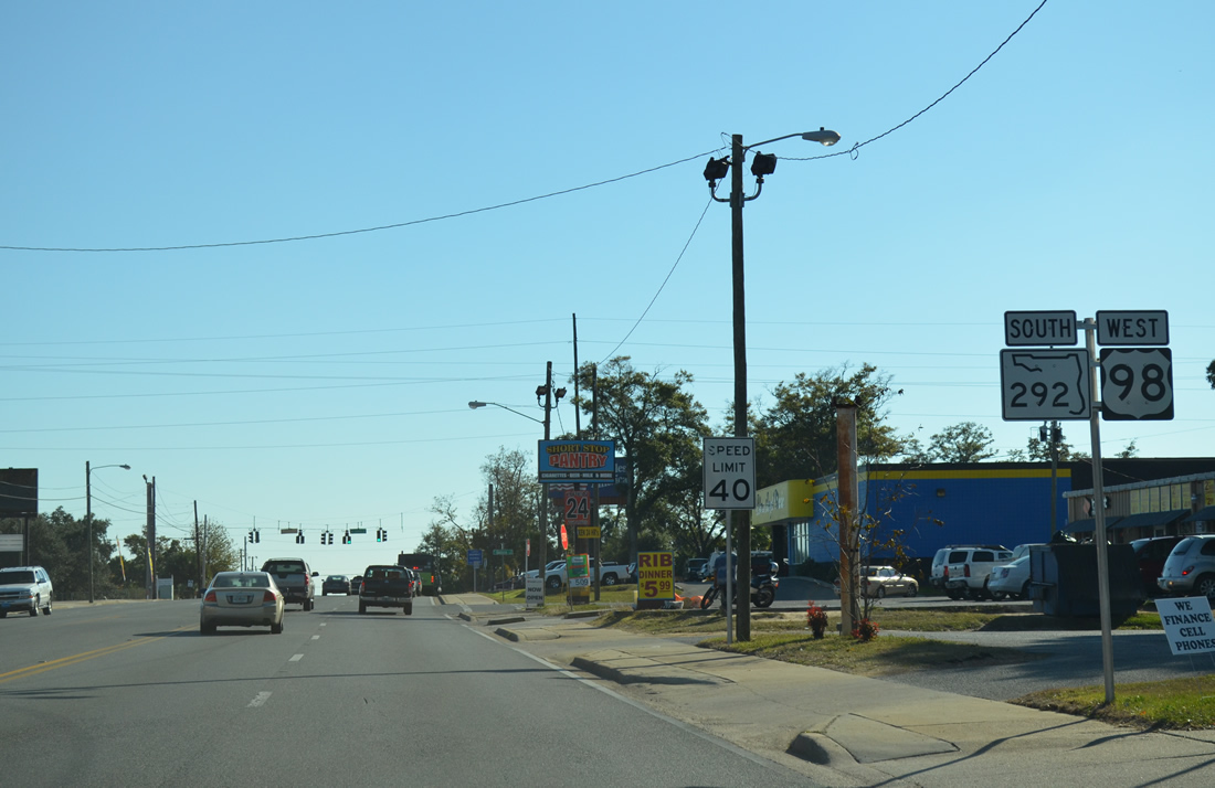
 South
South