|
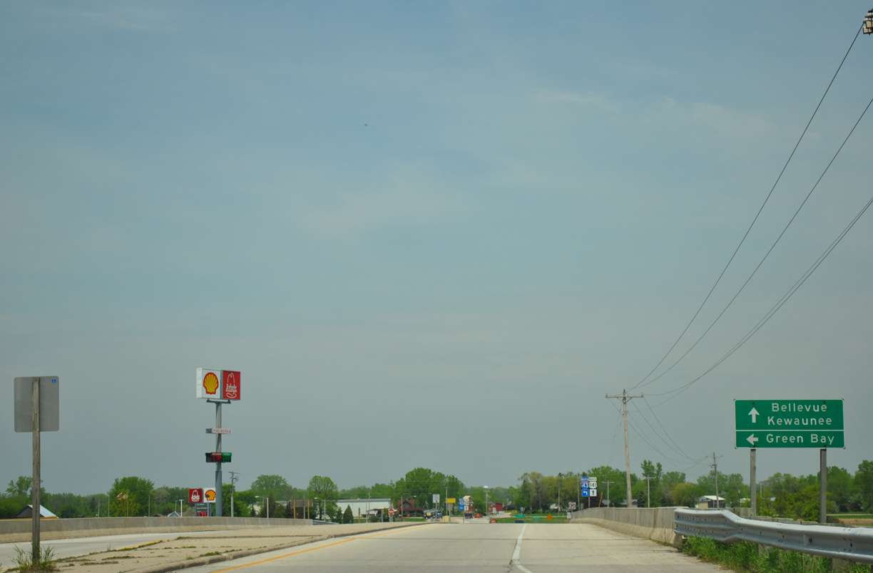
| Brown County MM turns north from Dutchman Road to a diamond interchange with Interstate 43. The trunk highway ends as U.S. 141 north begins. 05/30/11 |
|
| Interstate 43 supplanted U.S. 141 as the main through route north to Green Bay when it was completed by 1981. U.S. 141 parallels the freeway northwest into the village of Bellevue along Main Street. 05/30/11 |
|
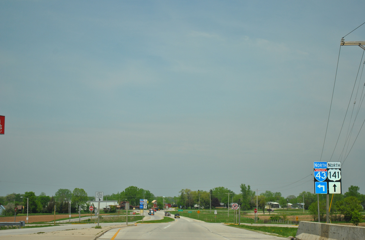
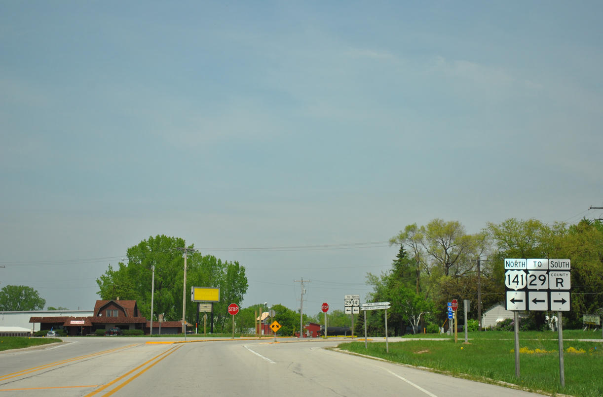
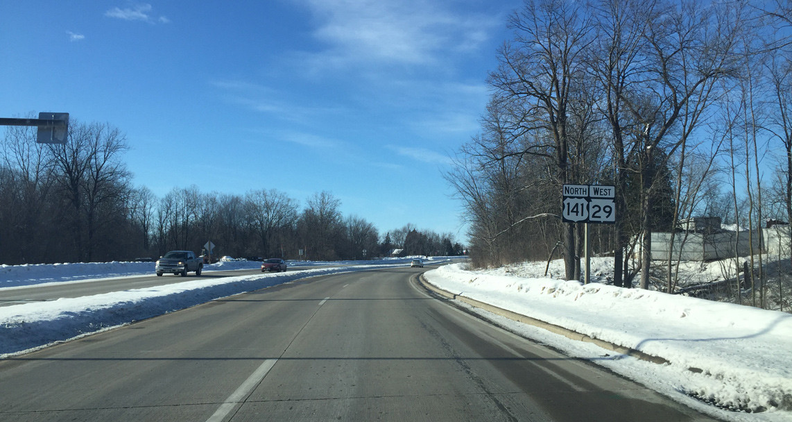
| Motorists bound for I-43 north depart U.S. 141 north. U.S. 141 joins STH-29 in 0.6 miles. 05/30/11 |
|
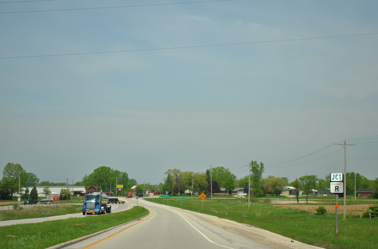
| U.S. 141 advances north 0.3 miles to intersect Brown County R (Main Street) and Wall Street. 05/30/11 |
|
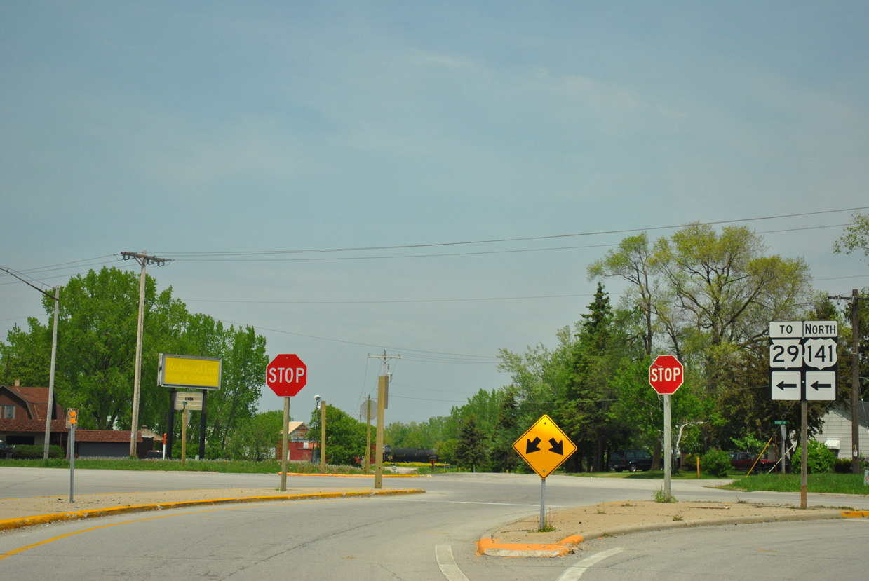
| CTH-R south follows old U.S. 141 to Pine Grove and Langes Corners. 05/30/11 |
|
| U.S. 141 north overtakes Main Street north into the village of Bellevue. 05/30/11 |
|
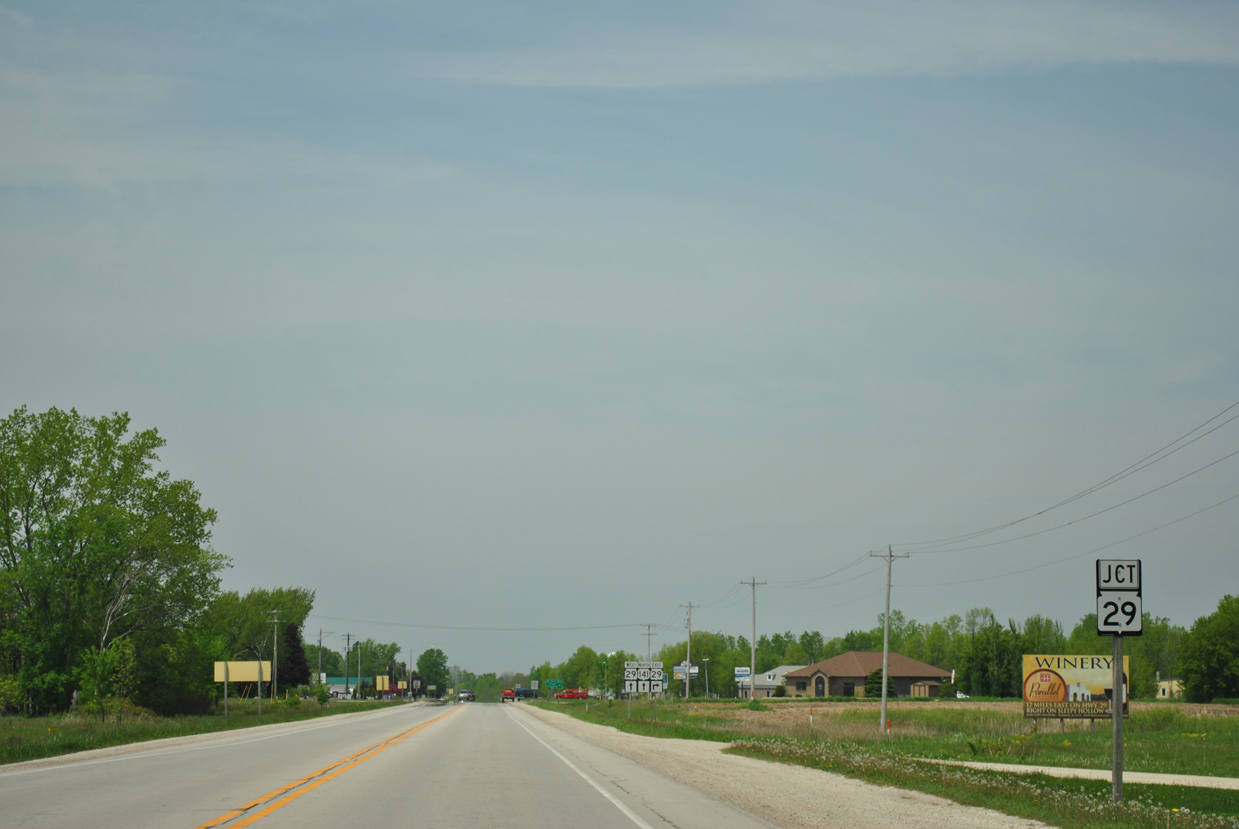
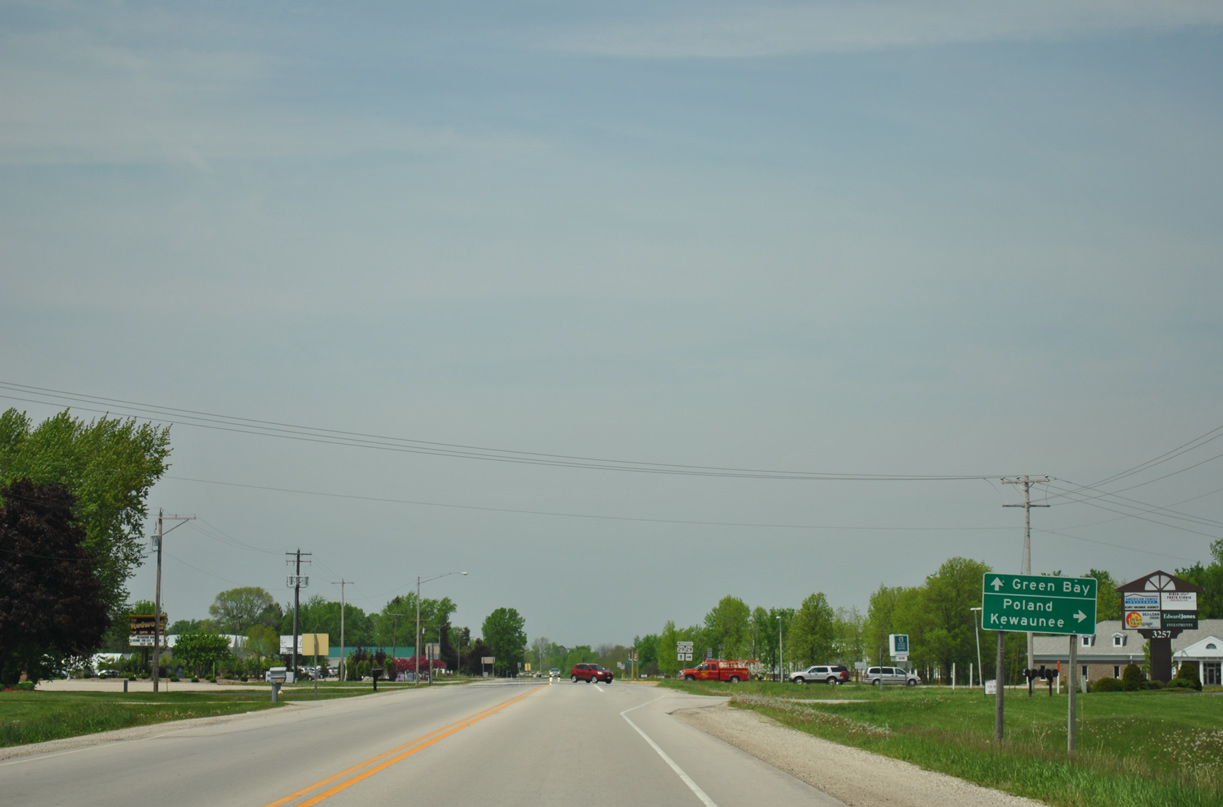
| Wis 29 west combines with U.S. 141 (Main Street) north at the ensuing intersection. 05/30/11 |
|
| STH-29 stretches across the state for 289 miles from Kewaunee to the east to Prescott. 05/30/11 |
|
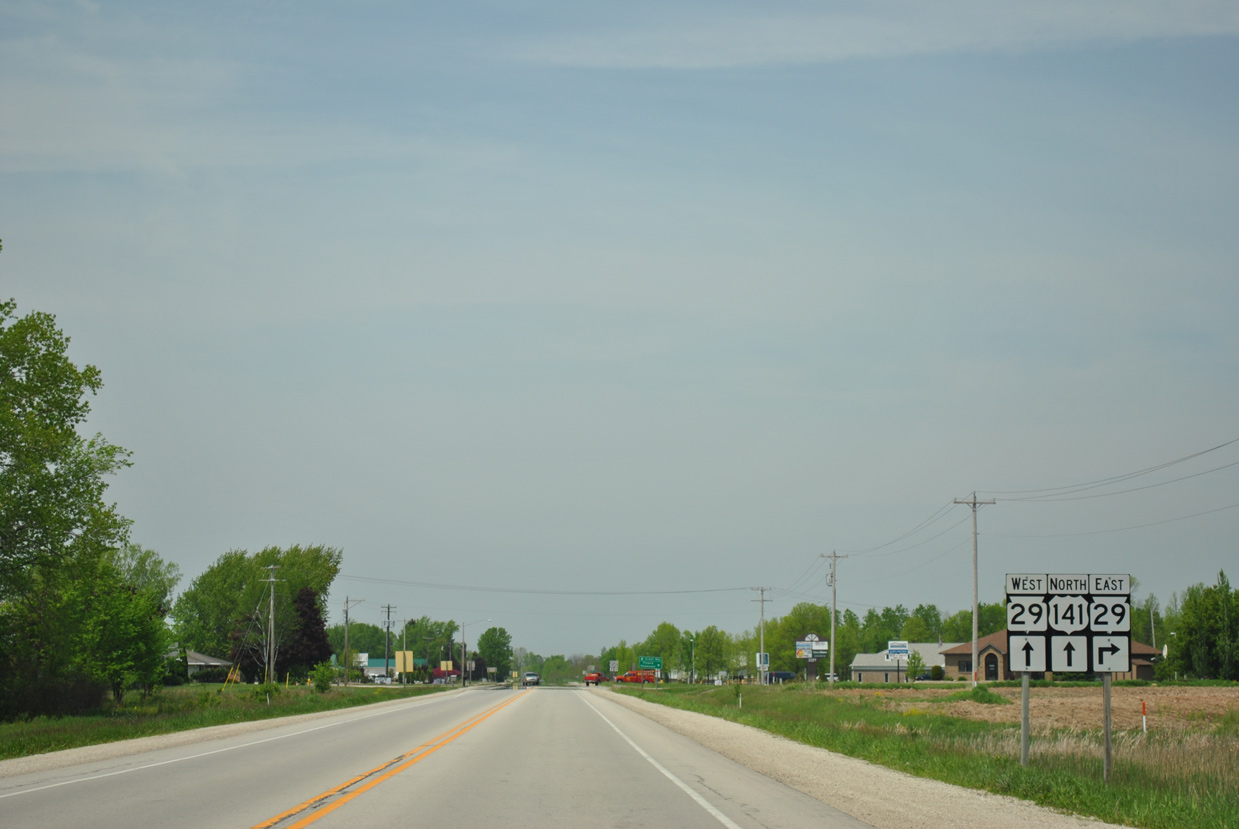
| Locally, STH-29 travels a rural route east from Bellevue to the settlements of Poland and Henrysville in eastern Brown County. 05/30/11 |
|
| The east end of STH-29 lies 21.1 miles away at STH-42 in Downtown Kewaunee. 05/30/11 |
|
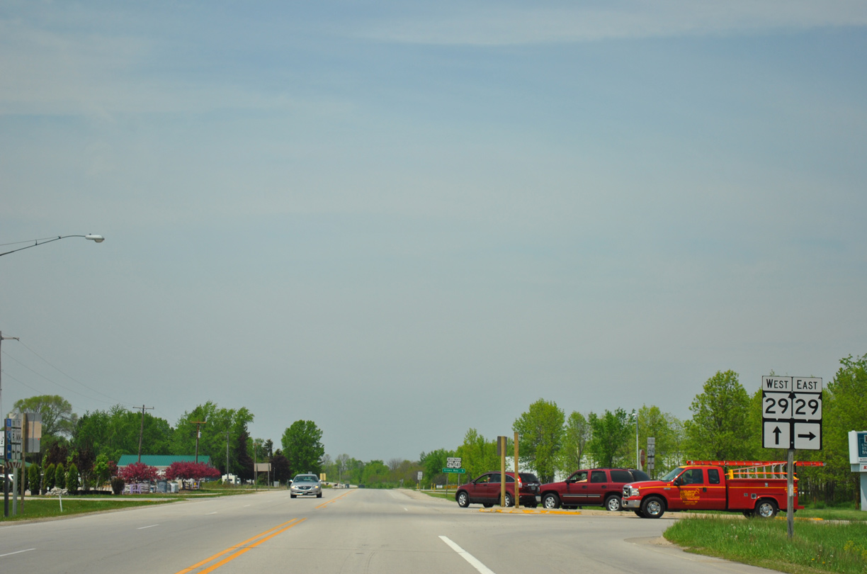
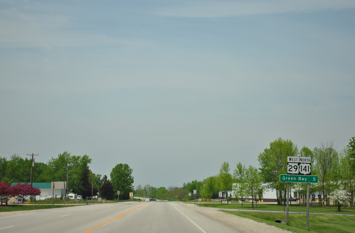
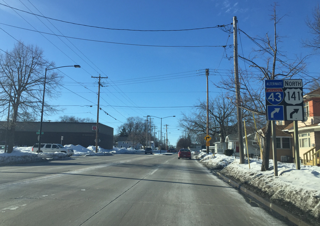
| U.S. 141 north / Wis 29 west overlap for 6.9 miles to Monroe Avenue (Wis 54/57) in Downtown Green Bay. 05/30/11 |
|
| Main Street becomes more suburban as U.S. 141/Wis 29 advance north beyond Klondike Road. Accordingly speed limits reduce. 02/10/16 |
|
| Allouez Avenue heads east to the Bellevue Village Offices at Manitowoc Road and west to the village of Allouez and STH 57 (Riverside Drive). 02/10/16 |
|
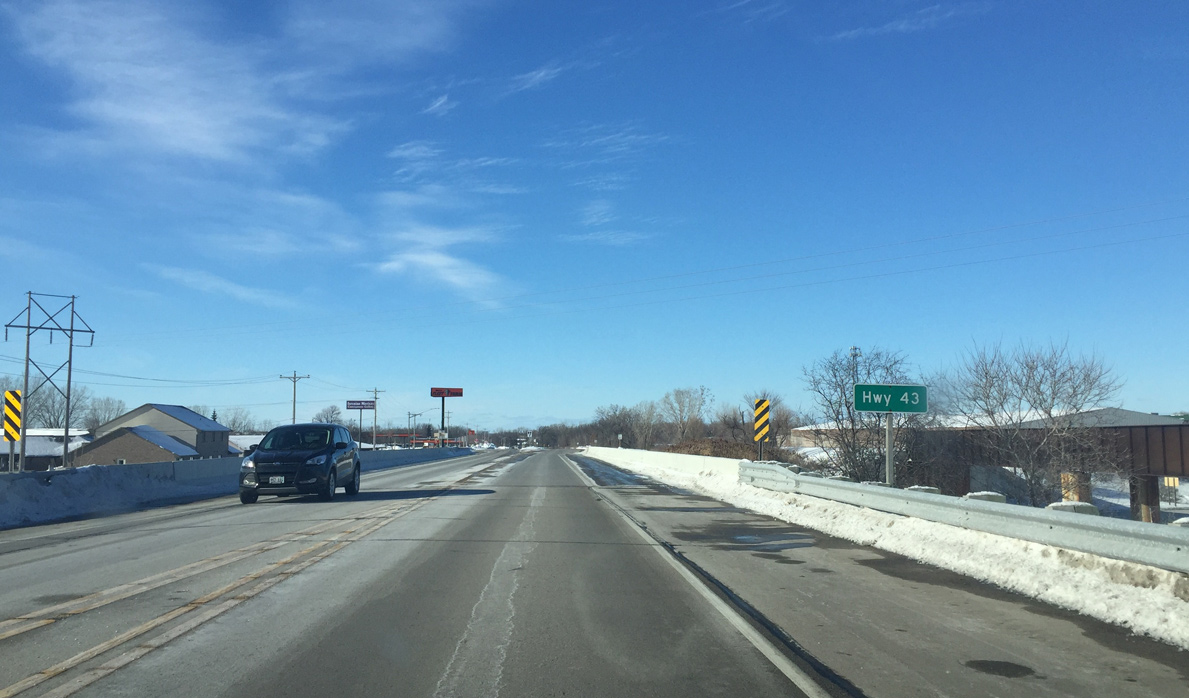
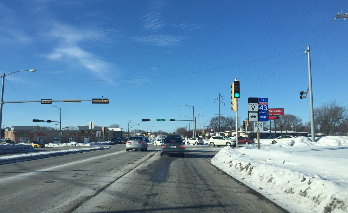
| U.S. 141/Wis 29 (Main Street) pass over Interstate 43 without direct access. A folded diamond interchange otherwise joins Allouez with the freeway nearby at Manitowoc Road (CTH-JJ). 02/10/16 |
|
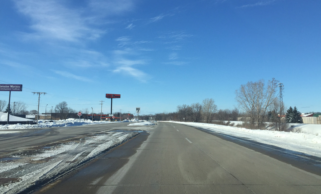
| Main Street expands into a four lane arterial beyond the I-43 under crossing. 02/10/16 |
|
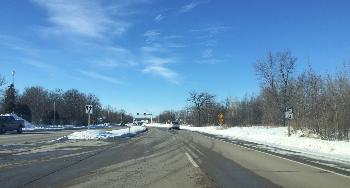
| Brown County JJ overtakes Mantiowoc Road through the interchange with I-43 between Eaton Road and Verlin Road at U.S. 141/Wis 29. Mantiowoc Road comprises a local road north from CTH-JJ. 02/10/16 |
|
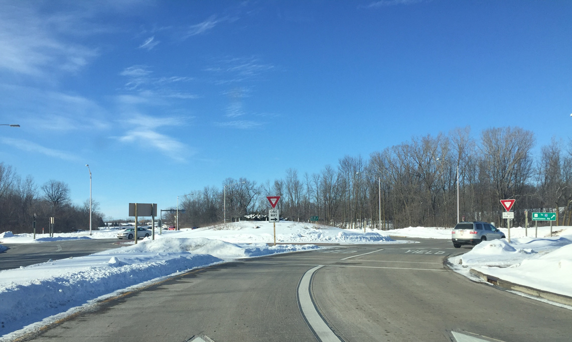
| Entering the multi lane roundabout with CTH-JJ (Verlin Road) on U.S. 141/STH-29 (Main Street) north. CTH-JJ ends just to the west at CTH-V (Lime Kiln Road) while the trunk highway east exits Bellevue for the town of Eaton and CTH-P near Henrysville. 02/10/16 |
|
| Reassurance markers for U.S. 141/Wis 29 posted as Main Street approaches the Green Bay city line. 02/10/16 |
|
| Main Street extends north into the city of Green Bay to Downtown. 02/10/16 |
|
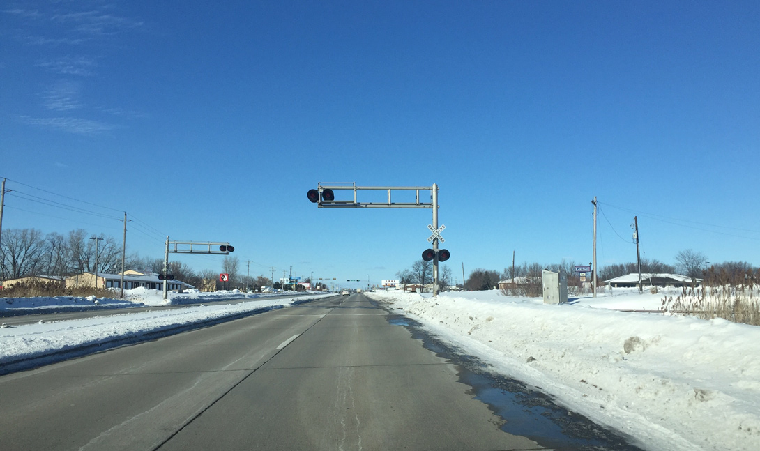
| The CN Railroad veers west to cross U.S. 141/Wis 29 (Main Street) at-grade. The line continues west to industrial areas along the west banks of the Fox River. 02/10/16 |
|
| Pecan Street comprises a local connector east from big box retail along U.S. 141/Wis 29 to Manitowoc Road and the Wilder Park neighborhood. 02/10/16 |
|
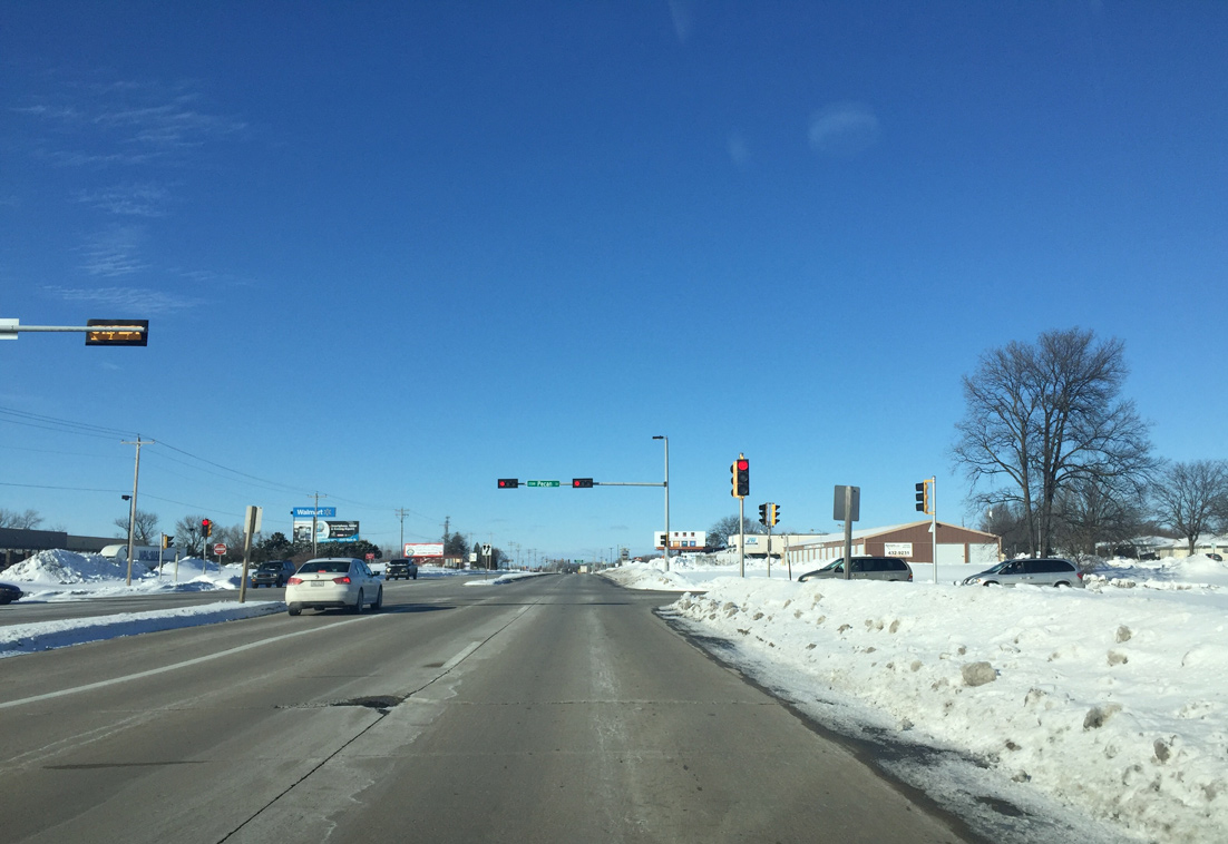
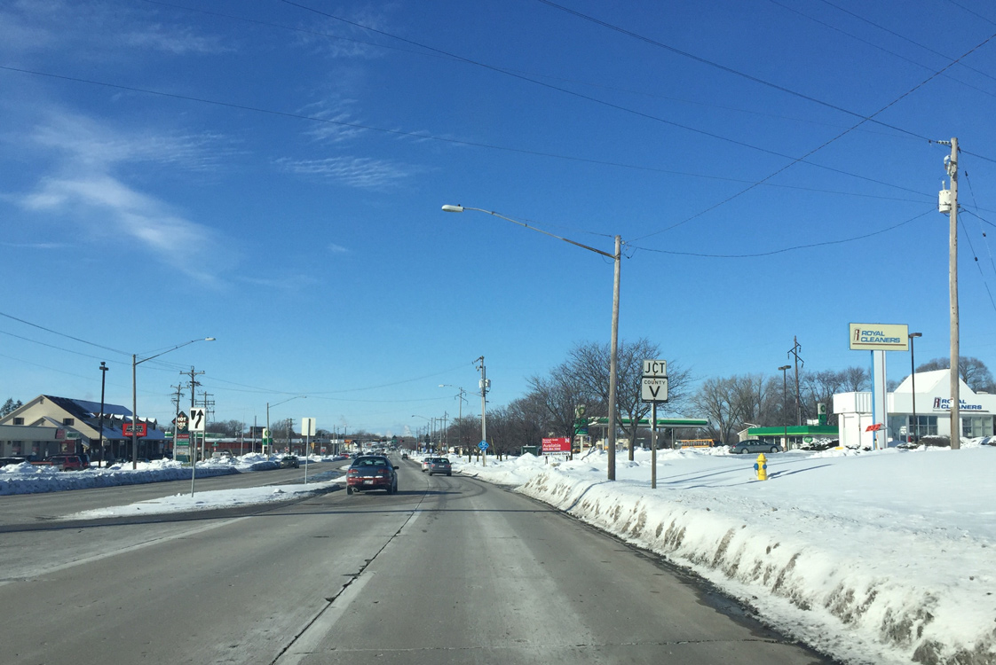
| Frontage roads accompany U.S. 141/Wis 29 (Main Street) along the commercial strip leading north to Mason Street (CTH-V). Mason Street angles northwest across Green Bay to become a freeway across the Fox River as part of STH-54. 02/10/16 |
|
| Mason Street forms a controlled access arterial leading east by adjacent East Town Mall to Interstate 43. CTH-V travels the route to the Humbolt town line, where it reverts to two lanes along rural Finger Road. 02/10/16 |
|
| U.S. 141/STH 29 (Main Street) wind west along the East River through the Three Corners area. Baird Street crosses the adjacent river from the Joannes Park community. 02/10/16 |
|
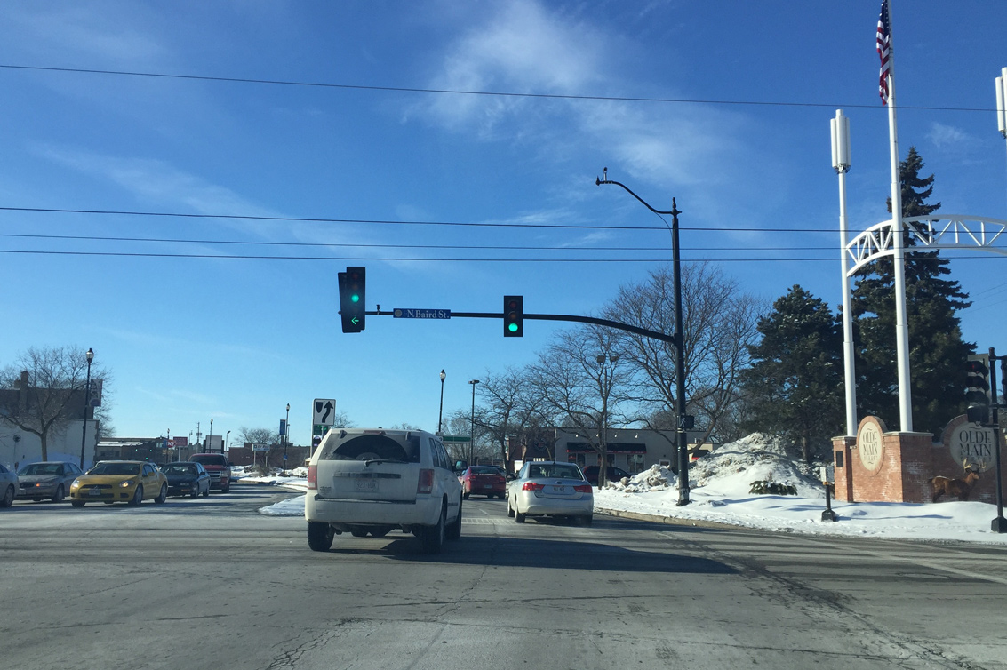
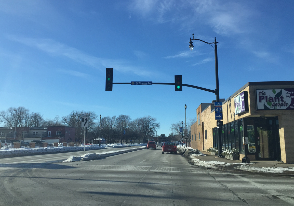
| Crossing the East River, U.S. 141/STH-29 (Main Street) west enter the Whitney Park community and intersect Webster Avenue. Webster Avenue spans the adjacent river en route through Olde North and Interstate 43 at East Shore Drive. 02/10/16 |
|
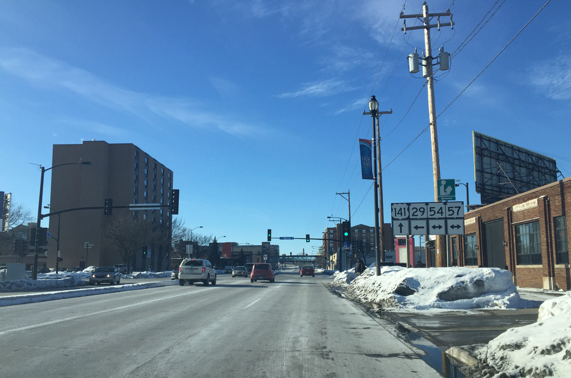
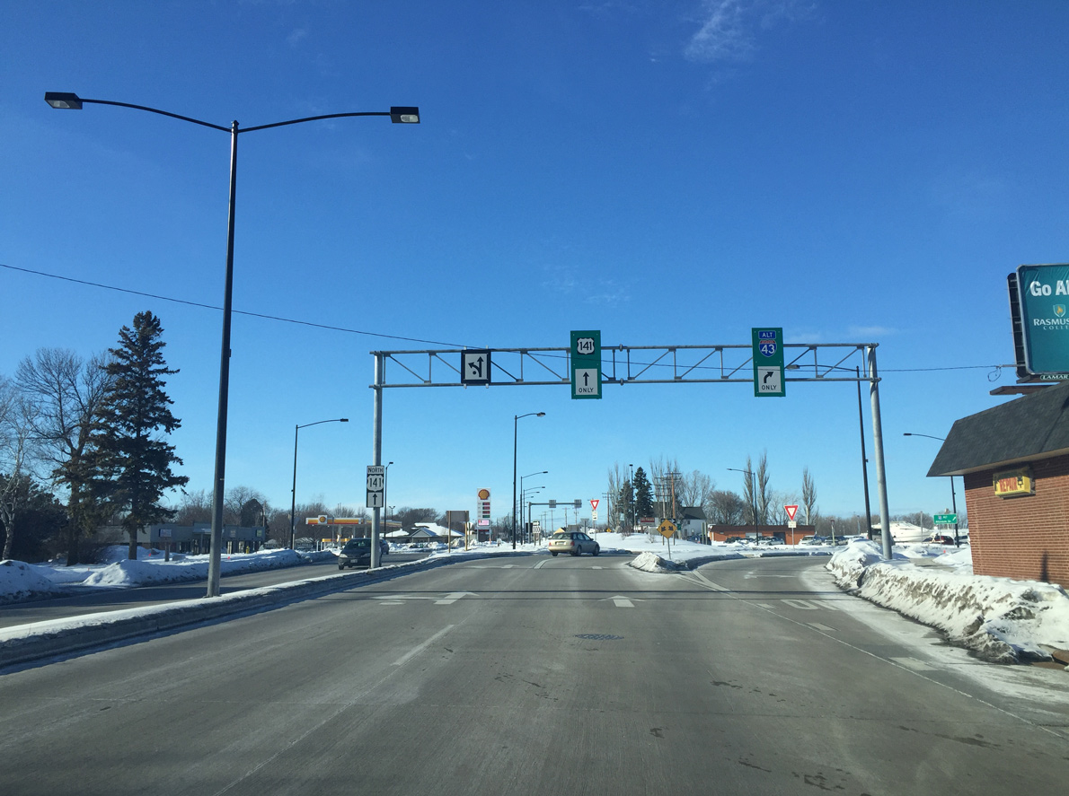
| Wis 29 and U.S. 141 part ways at the Main Street intersection with Monroe Avenue on the east edge of Downtown Green Bay. U.S. 141 proceeds west to Dousman Street to Fort Howard while STH-29 west joins STH-54/57 south for a four block overlap to Walnut Street. 02/10/16 |
|
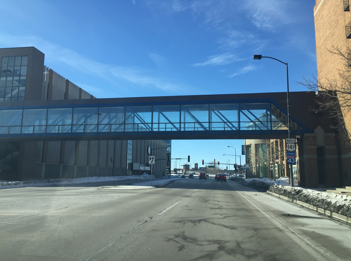
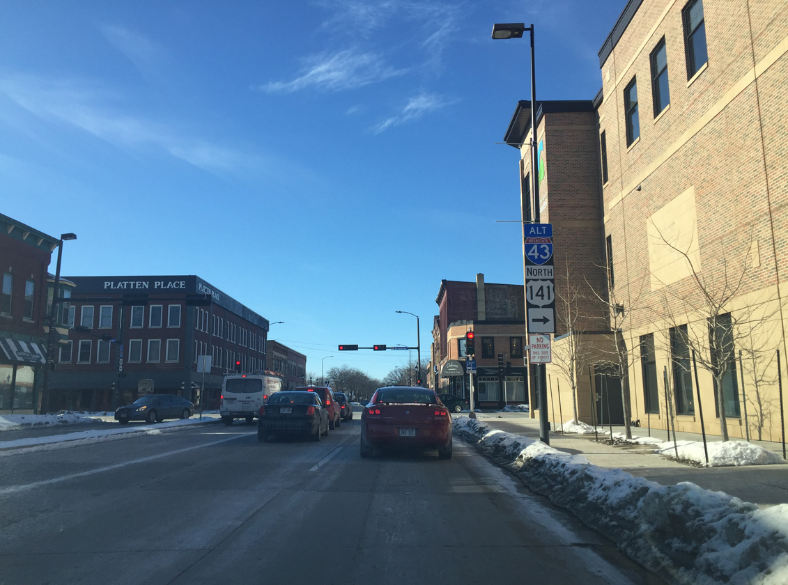
| An enclosed pedestrian bridge joins a public parking garage with KI Convention Center beyond this set of shields for U.S. 141/Alternate I-43 north. Port Plaza Mall / Washington Commons mall was formerly located on the south side of Main Street here. The 1977-opened retail center closed in 2006 with the site razed in 2012. A portion of the parcel was redeveloped as the headquarters of Schreiber Foods. 02/10/16 |
|
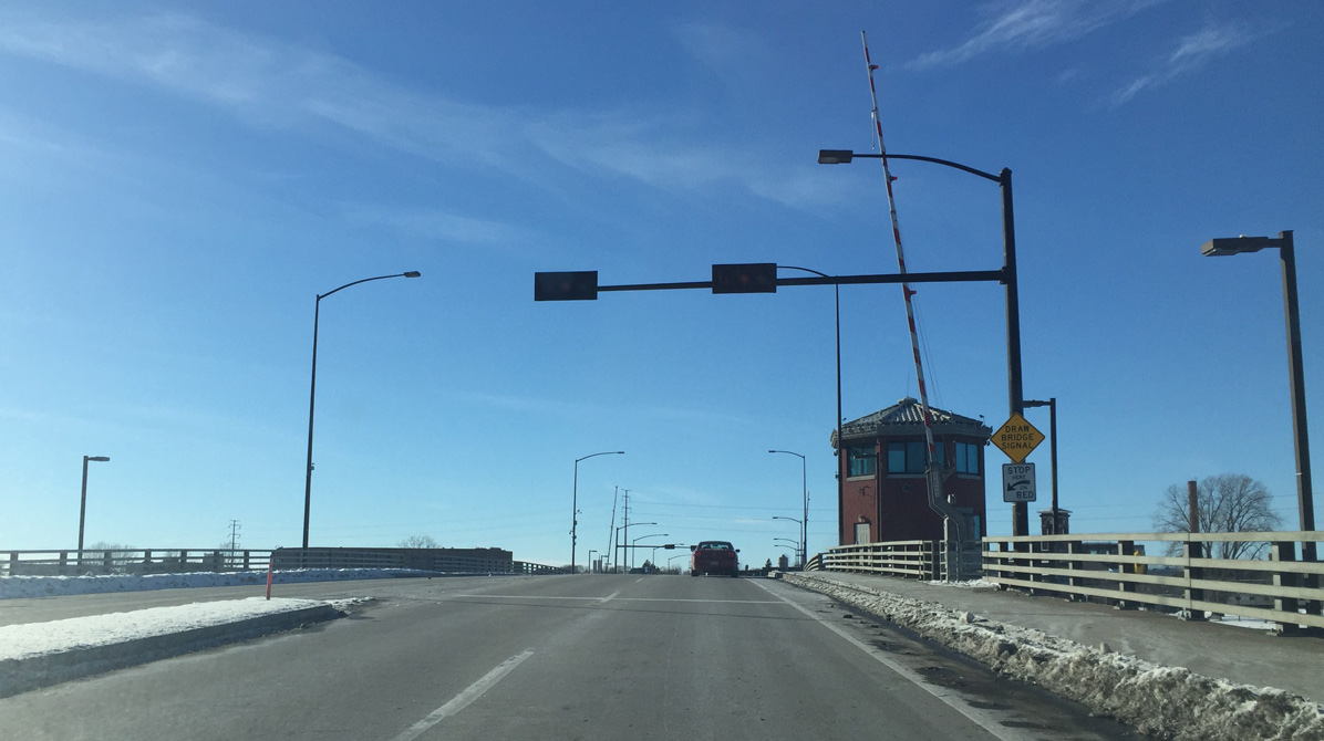
| The Main Street (Ray Nitschke Memorial) Bridge comprises a double-leaf bascule bridge across the Fox River. The movable span was constructed in 1998 to replace the 1923-built Main Street Bridge. 02/10/16 |
|
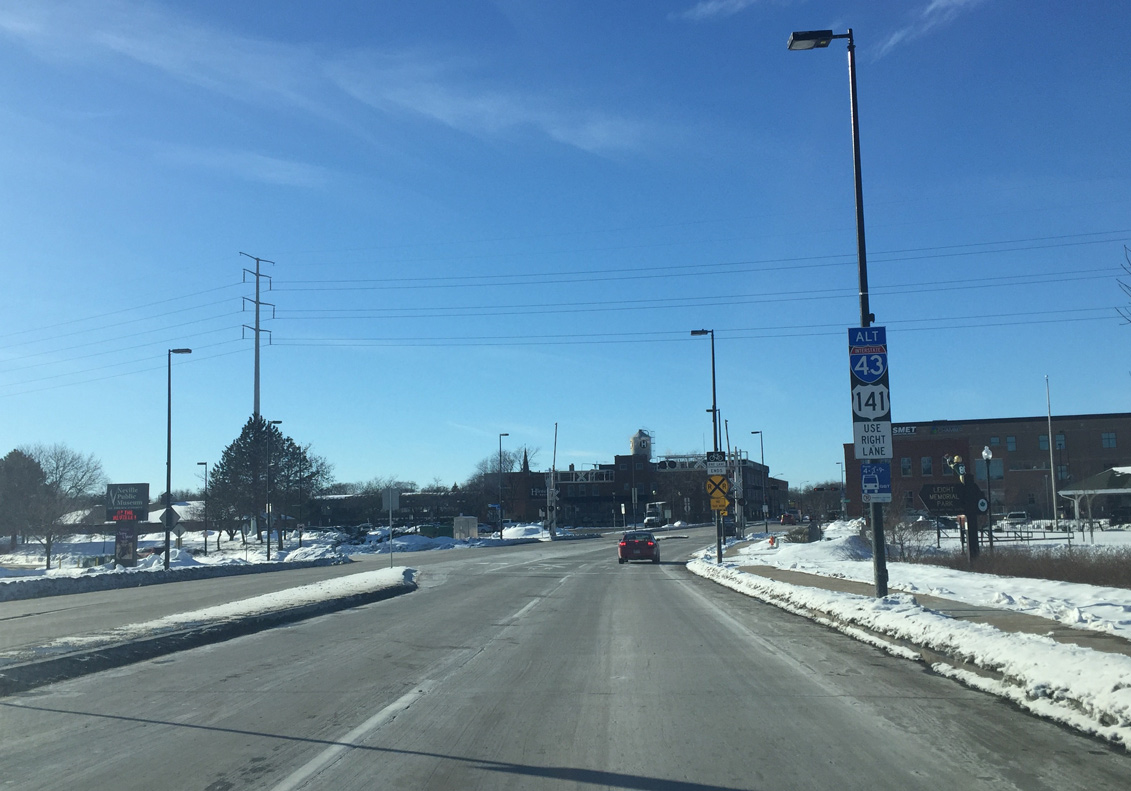
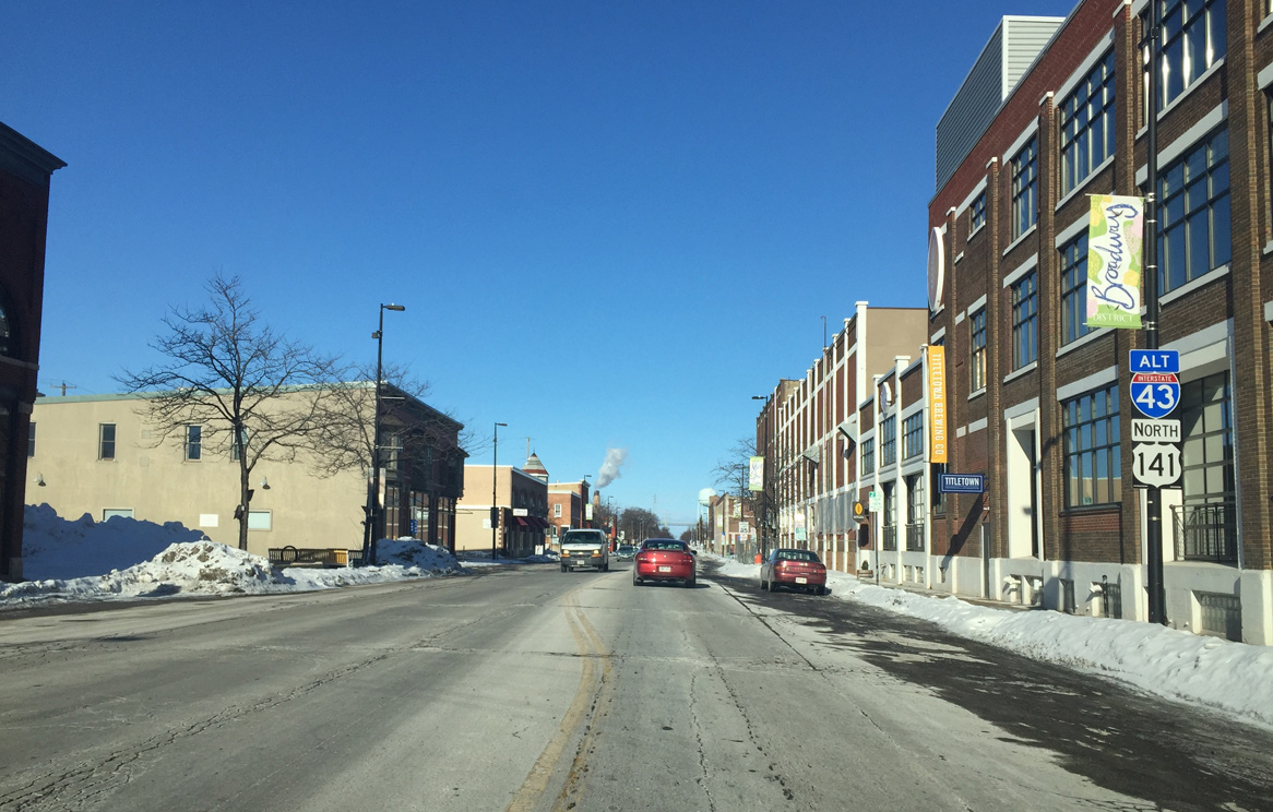
| U.S. 141 (Dousman Street) passes between the Neville Public Museum and Leicht Memorial Park at the west banks of the Fox River. The US route crosses a CN Railroad line ahead of Broadway, where it turns north as part of an alternate route for I-43. 02/10/16 |
|
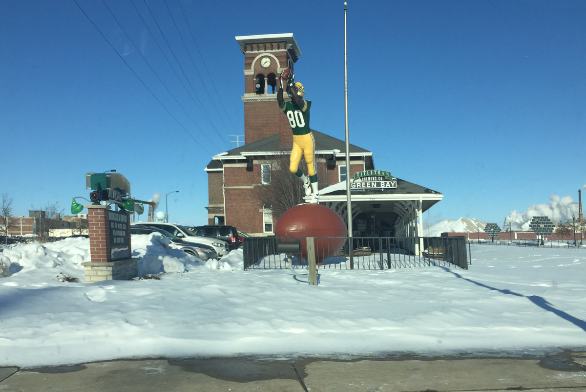
| Titletown Brewing Company lines the CN Railroad tracks on the north side of Dousman Street. The brewery took over the former Chicago & North Western Railroad depot when it opened in 1996.1 A statue here pays tribute to #80 Donald Driver, the 14-year Green Bay Packers wide receiver who retired in February 2013. The monument was previously located in front of the old Packers Hall of Fame. It was moved to Titletown Brewing Company as part of the renaming of Pearl Street north of U.S. 141 as Donald Driver Way on June 15, 2013.2 02/10/16 |
|
| West from U.S. 141 at Broadway, Dousman Street transitions to a two lane street to Hiram Fisk Park and the Maple Arches community. Broadway south meanwhile parallels the Fox River to Seymour Park. 02/10/16 |
|
| Northbound Roadway leads U.S. 141 four blocks from Dousman Street to Mather Street through the Fort Howard community. 02/10/16 |
|
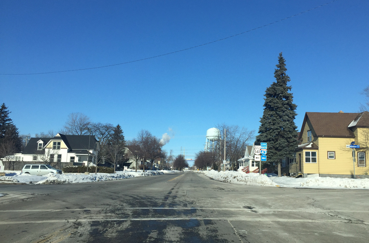
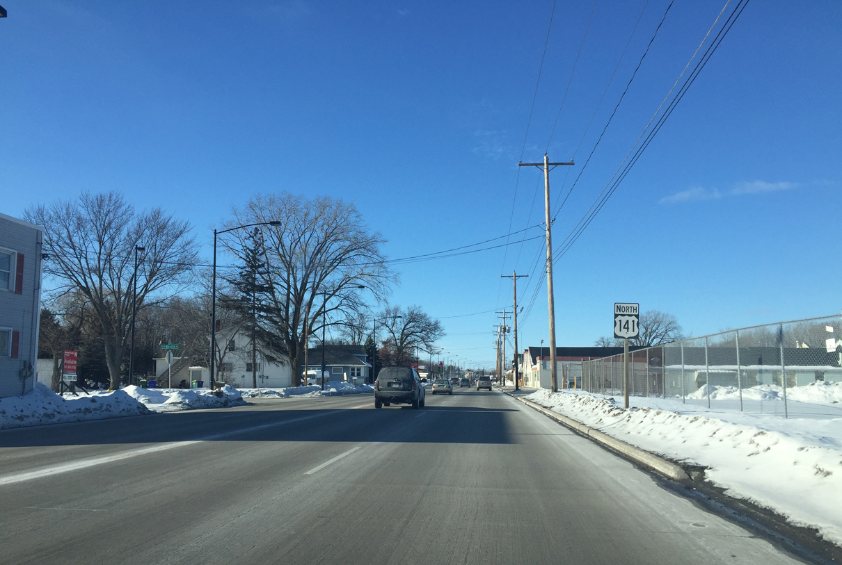
| Mather Street takes U.S. 141 west to Velp Avenue by the Northwest Railway Gardens neighborhood. 02/10/16 |
|
| U.S. 141 northbound reassurance marker posted along the six-block drive along Mather Street. 02/10/16 |
|
| U.S. 141 north splits with Mather Street west for Velp Avenue north. Mather Street continues to the Mather Heights community. 02/10/16 |
|
| Atkinson Drive connects U.S. 141 with parallel Interstate 43 at a parclo interchange just north of a CN Railroad yard. 02/10/16 |
|
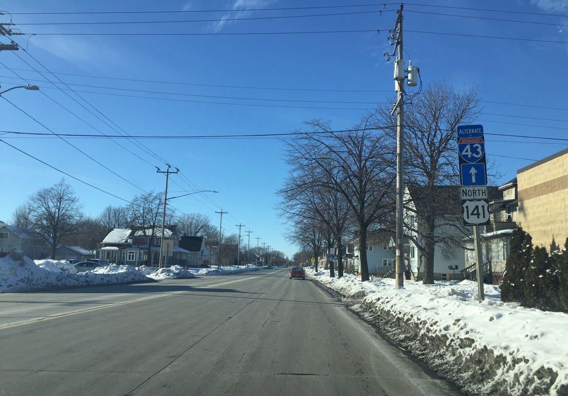
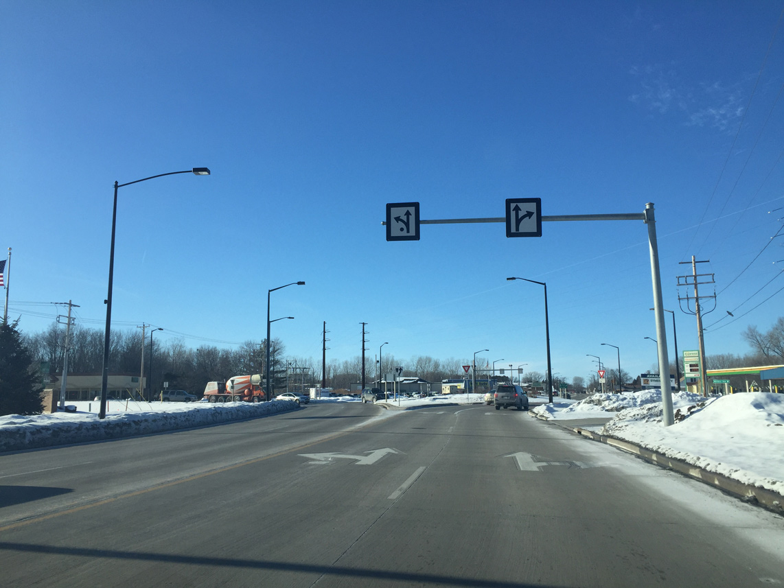
| Velp Avenue expands U.S. 141 into a four lane arterial to the roundabout with Atkinson Drive north. 02/10/16 |
|
| Velp Avenue separates residential areas of Mather Heights to the south with industrial areas along the adjacent CN Railroad to the Perkins Park Area. 02/10/16 |
|
| Military Avenue, the former alignment of U.S. 41, encircles western reaches of Green Bay from the Ken Euers Nature Area south to Lombardi Avenue (CTH-VK) at Lambeau Field. 02/10/16 |
|
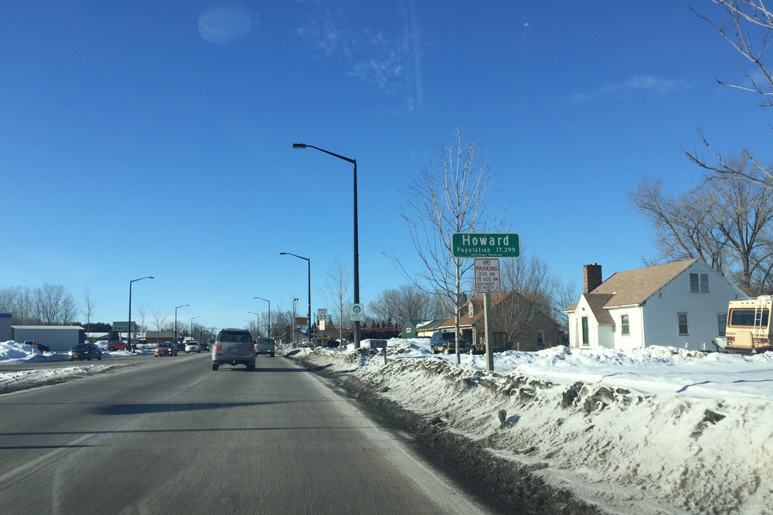
| U.S. 141 (Velp Avenue) crosses into the village of Howard beyond Military Avenue. 02/10/16 |
|
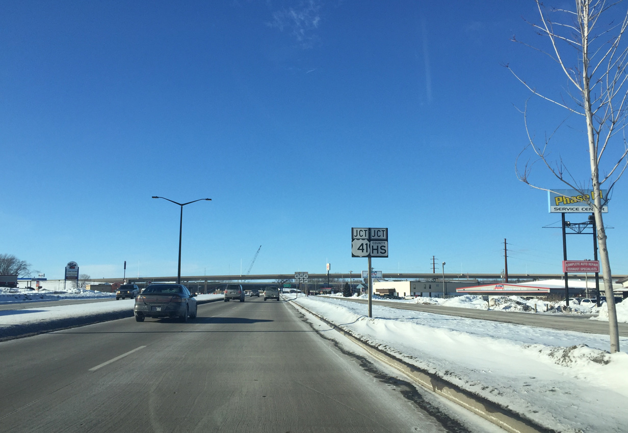
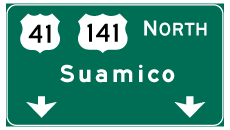
| A short distance west of Green Bay, U.S. 141 partitions with Velp Avenue for Interstate 41 [U.S. 41] north at a diamond interchange. CTH-HS extends Velp Avenue northward.
Note the repurposing of the shield for U.S. 141 to display U.S. 41. 02/10/16 |
|
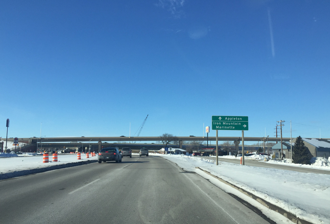
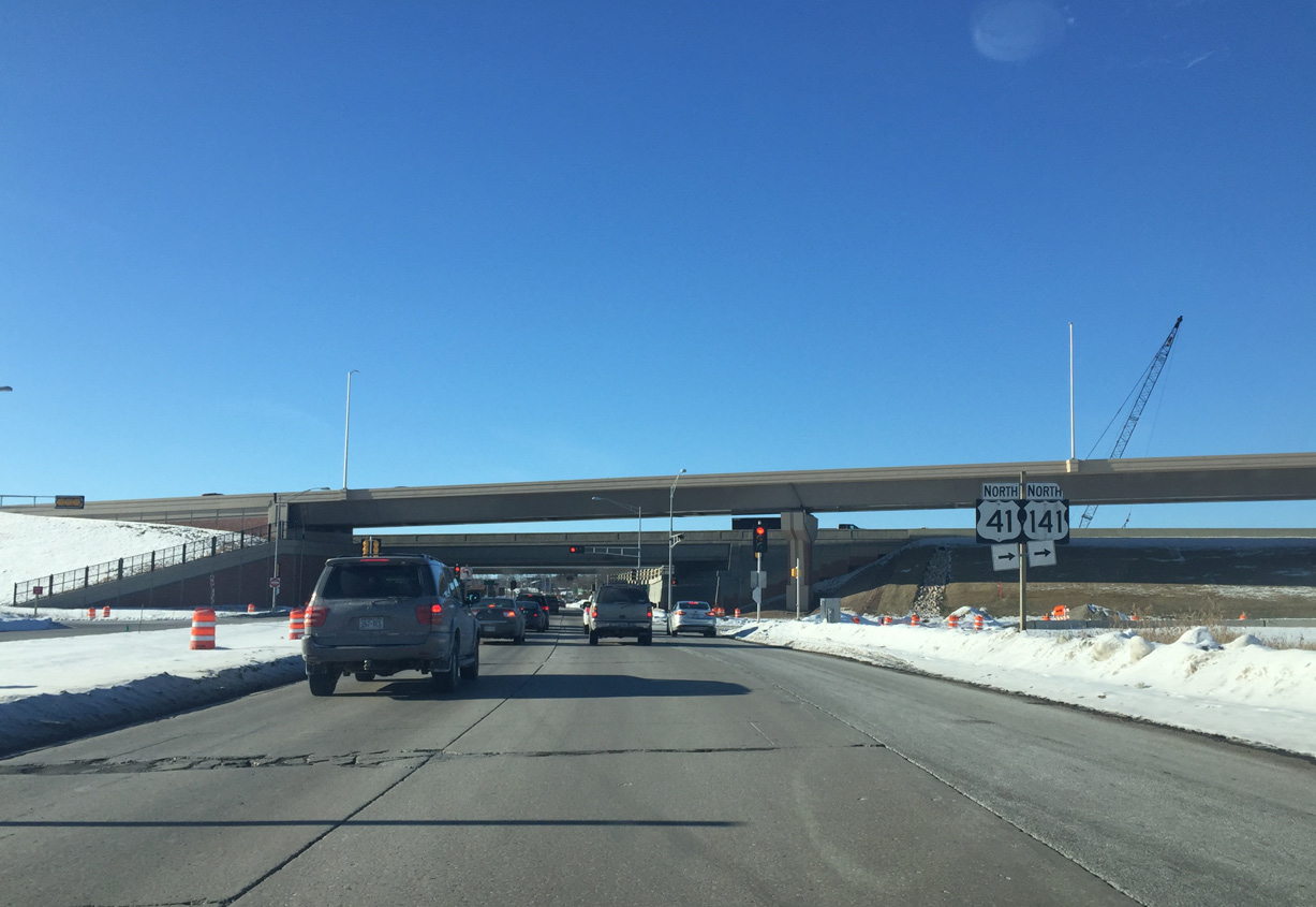
| U.S. 41/141 combine 16.2 miles northward along a freeway to Abrams. U.S. 41 veers northeast from there to Marinette while U.S. 141 remains north to Iron Mountain, Michigan. 02/10/16 |
|
| U.S. 41 north to Lineville Road in Howard was upgraded to Interstate 41 throughout the summer of 2015. Construction underway through 2016 redesigns the adjacent interchange between I-41 and I-43 with high speed flyovers. 02/10/16 |
Page Updated 02-19-2016.