
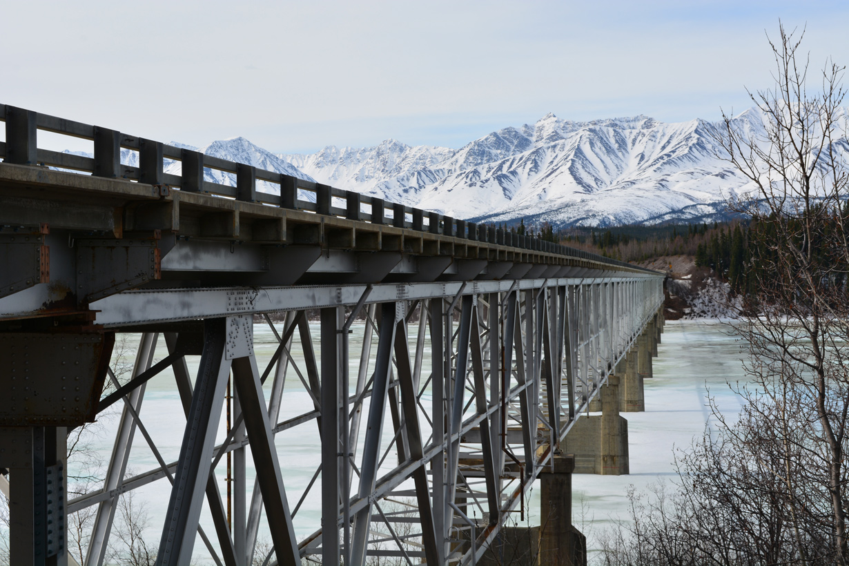
State Route 2 crosses central Alaska from Manley Hot Springs to the Canadian border. SR 2 follows Elliot Highway northeast from New Manley Hot Springs Airport (MLY) along Bean Ridge to Overland Bluff, where the route parallels Eureka Creek to Eureka-Rampart Road. Turning east, Elliot Highway gains 1,400 feet in elevation ahead of Minto Road. SR 2 climbs to over 2,300 feet above sea level on the ensuing stretch before descending below 1,000 feet at Cascaden Ridge. The westernmost section of Elliott Highway runs 77.21 miles to the south end of SR 11 (Dalton Highway) near Livengood.
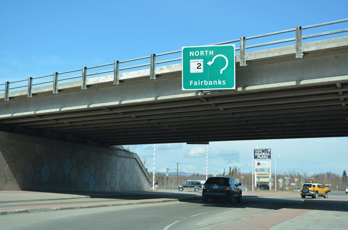
Elliott Highway turns south on the 68.06 miles leading to Fairbanks. SR 2 enters the Fairbanks area at Fox, where Elliott Highway concludes at a shared end point with SR 6 (Steese Highway). SR 2 curves southward to Goldsteam, where Steese Highway upgrades to a controlled access expressway with a dogbone interchange at Chena Hot Springs Road.
Entering urban areas of Fairbanks, SR 2 (Steese Expressway) transitions into a controlled access arterial with commercial frontage at Johansen Expressway. Crossing the Chena River, SR 2 passes east of Downtown Fairbanks south to Airport Way, where Steese Highway ends and Richardson Highway begins. SR 2 follows the southernmost 11.12 miles of Steese Expressway/Highway.
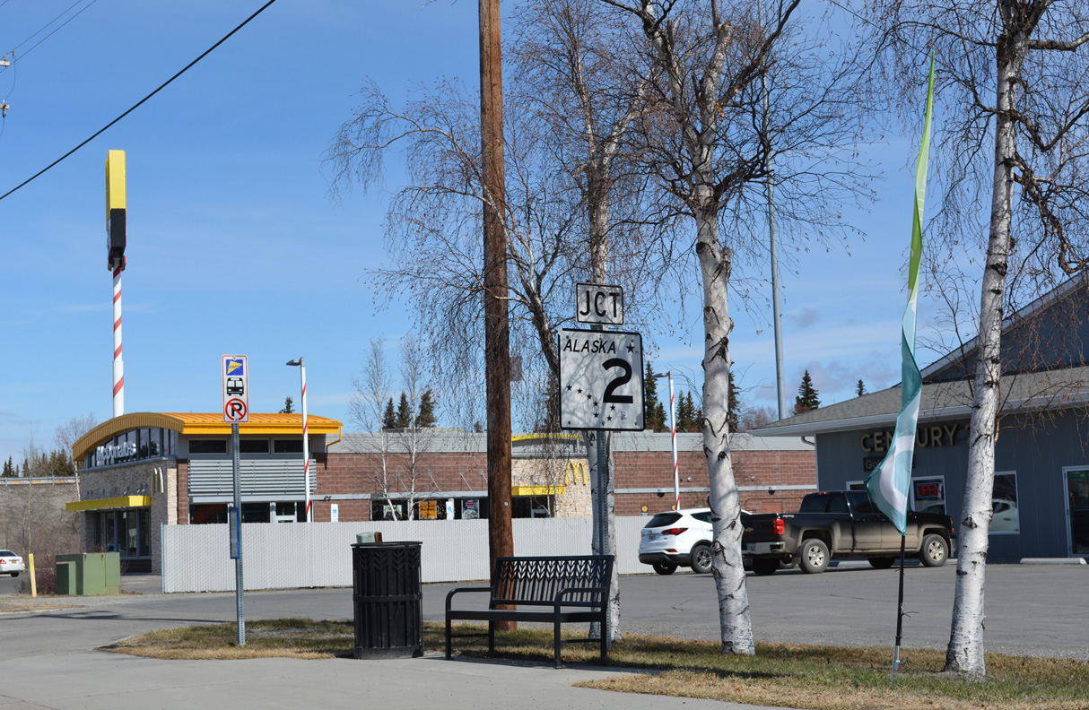
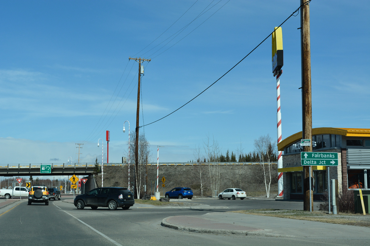
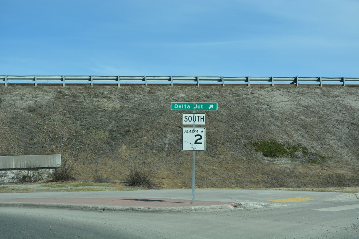
1.20 miles south from Airport Way, SR 2 (Richardson Highway) upgrades to a freeway leading into the exchange with SR 3 (Parks Highway). SR 3 runs west across Fairbanks to Fairbanks International Airport while SR 2 (Richardson Highway) turns east past Fort Wainwright. SR 3 south from Fairbanks to Denali National Park and SR 1 at Palmer is Interstate A4. SR 2 southeast from Fairbanks to SR 1 at Tok is I-A2.
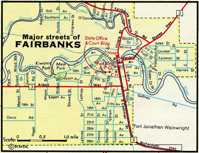
The original alignment of SR 2 followed Cushman Street, 1st Avenue and Wendall Avenue through Downtown Fairbanks
Alaska State Route 2 Guides
North
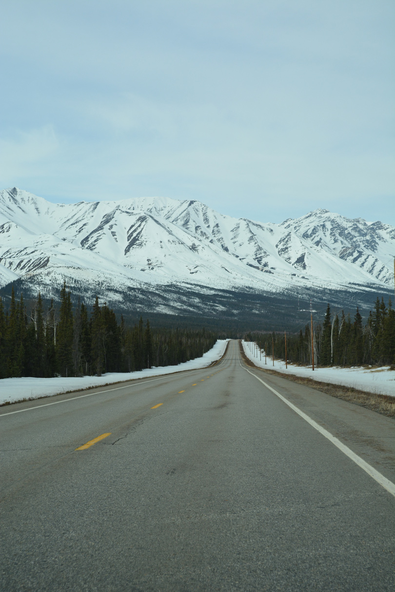
Heading west from Tok and Tanacross, SR 2 (Alaska Highway) runs along the northern fringe of the Alaska Range. 05/08/23
Richardson Highway continues 20.26 miles east from Parks Highway along a controlled access expressway to North Pole and Eielson Air Force Base. SR 2 reduces to two lanes through the military area en route to Salcha along the Tanana River. Generally paralleling the river, Richardson Highway continues by Salcha Bluff to Harding Lake, Harding-Birch Lakes and Big Delta.
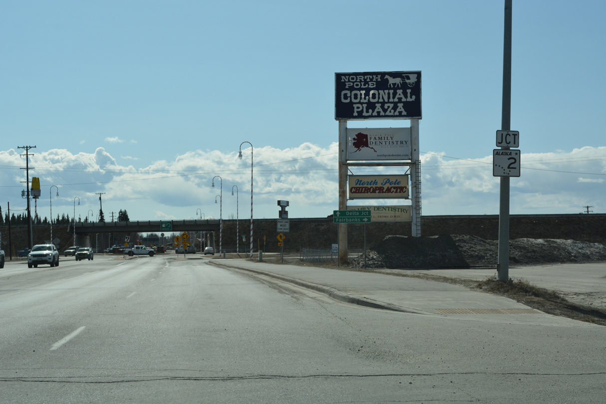
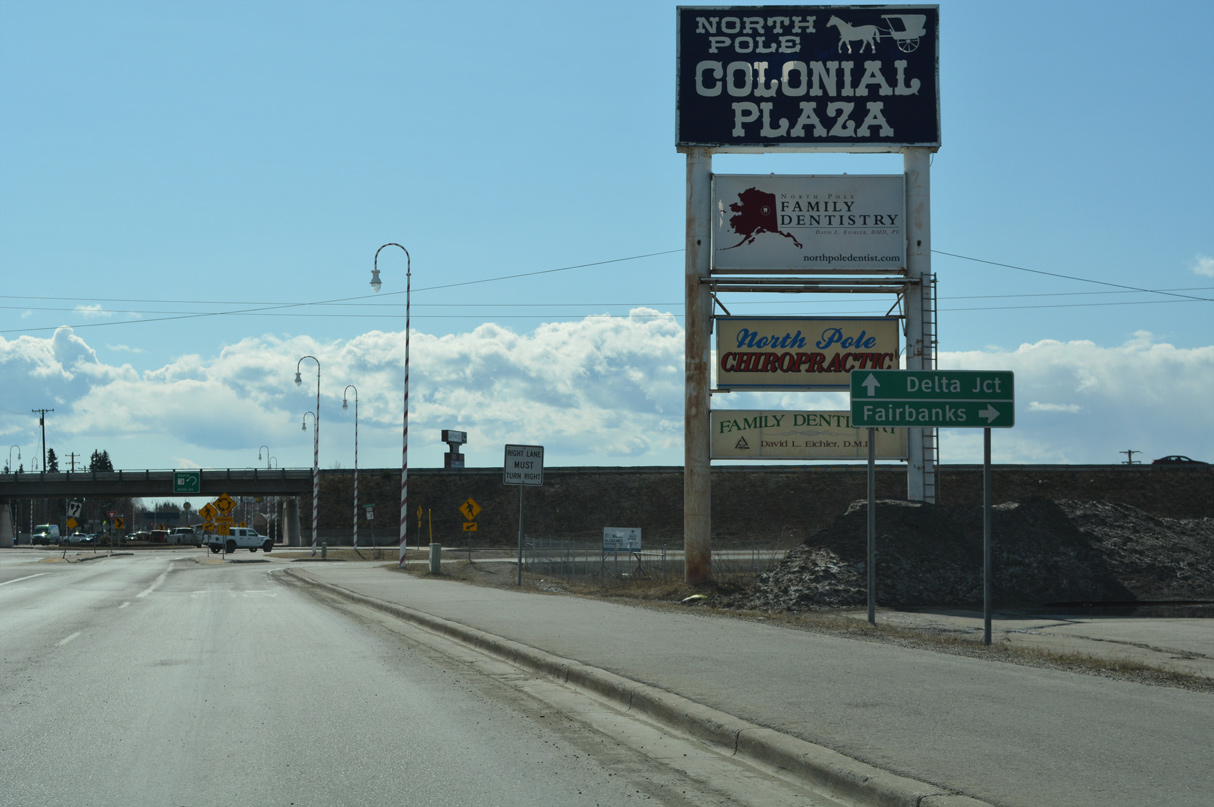
SR 2 shifts east onto Alaska Highway from Richardson Highway 93.29 miles southeast of SR 3 in Fairbanks. SR 4 extends Richardson Highway south from Delta Junction 137.21 miles to SR 1 (Tok Cutoff Highway). The remaining 197.47 miles of SR 2 follow Alaska Highway southeast to Yukon. Following the Tanana River again, SR 2 travels from Fort Greely to Dry Creek, Dot Lake, Tanacross and Cathedral Rapids.
With a population of around 1,200, the community of Tok lies at the junction of SR 2 (Alaska Highway) and SR 1 (Tok Cutoff Highway) south. SR 1 southwest to Anchorage and SR 2 southeast to Alcan Border are both part of Interstate A1. Alaska Highway converges with the Tanana River again ahead of Tetlin Junction, where SR 5 (Taylor Highway) ties in from the north.
SR 2 (Alaska Highway) straddles the bluff line to the north of wetland areas along the Tanana River and Midway Lake. Continuing southeast along the Chisana River, Alaska Highway reaches Northway Junction. Alcan Border is the final census designated place along SR 2 before Alaska Highway enters Canada.
The Alaska Highway Bridge Replacement eliminates load restricted bridges and realigns or rehabilitates portions of SR 2 (Alaska Highway) between Delta Junction and Tok. Anticipated for construction in 2024, the first stage of work replaces Johnson River Bridge #518. The proposed new crossing is an 1,160 foot long, eight-span concrete decked bulb-tee girder bridge.
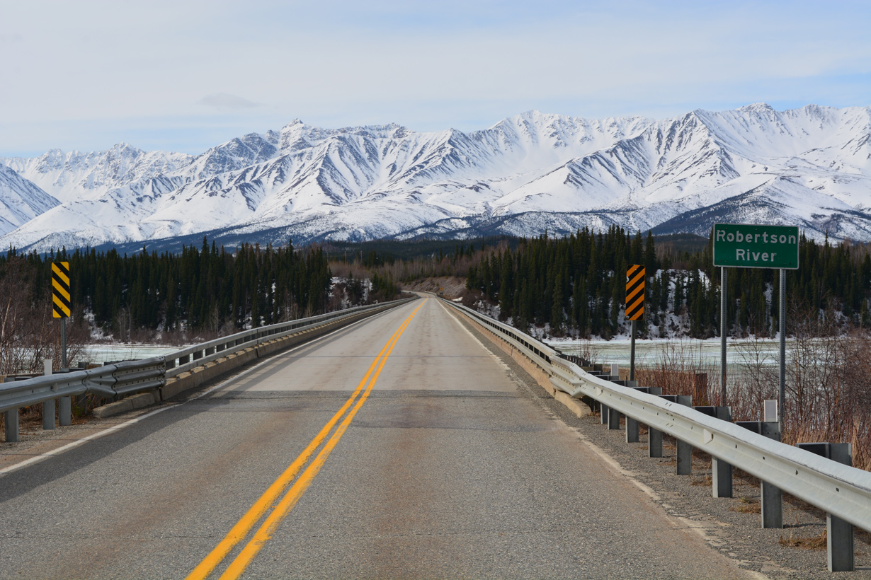
SR 2 (Alaska Highway) crosses the Robertson River north of the Alaska Range between mile markers 1347 and 1348. 05/08/23
Robertson River Bridge #509 along Alaska Highway is a deck truss span built in 1944. 05/08/23
Three years of construction replacing Gerstle River Bridge #520 is expected to begin in 2025 or 2026. The anticipated construction timeline for the replacement of the Robertson River Bridge #509 is 2026 to 2027.1
Then known as the ALCAN, the Alaska Highway was the result of an agreement regarding construction and maintenance between the United States and Canada. The ALCAN was proposed from Dawson Creek, British Columbia and Delta Junction, Alaska. Overseen by the U.S. Army Corps of Engineers, work at seven locations commenced simultaneously in 1942. Construction of the highway coincided with work started on the Canadian Oil (CANOL) Pipeline and the Alaska Military Highway Telephone and Telegraph Line in June 1942. The 1,500 mile long road was completed after just eight months.2
Historically Richardson Highway at Fairbanks traveled through then-Ladd Field reservation east from Cushman Street. The route was realigned southward to bypass the military facility on September 13, 1941.3 Gaffney Road east to 9th Avenue in Fort Wainwright was part of the old Richardson Highway. The two segments of South Gate Road in Fort Wainwright were also part of the original alignment.
The four lane realignment of Richardson Highway bypassing the city of North Pole fully opened to traffic on September 19, 1966.4 The Steese Expressway bypassing the Fairbanks city center was constructed at a cost of $14.7 million. The four lane highway opened 2.79 miles north from the intersection joining Richardson Highway with Airport Way/Gaffney Road to Farmers Loop Road on September 12, 1977.5
 scenes scenes |
 | Santa Claus Lane heads north from a roundabout with St. Nicholas Drive to SR 2 (Richardson Highway) in North Pole. 05/08/23 |
 | A roundabout interchange joins Santa Claus Lane north and Badger Road south with the expressway along SR 2 (Richardson Highway). 05/08/23 |
 | The expressway along Richardson Highway extends southeast from North Pole through Moose Creek. Delta Junction is 81.7 miles away. 05/08/23 |
 | Roundabouts along Santa Claus Lane and Badger Road at the ramps with SR 2 were constructed in 2007.6 05/08/23 |
 | Badger Road heads south from the community of Badger to conclude at SR 2 (Richardson Highway) opposite Santa Claus Lane in North Pole. 05/08/23 |
 | Richardson Highway continues west along an expressway from North Pole and Badger into Fairbanks. 05/08/23 |
 | Light posts in North Pole are designed to resemble candy canes. These are located at the roundabout joining the northbound ramps from SR 2 with Badger Road. 05/08/23 |
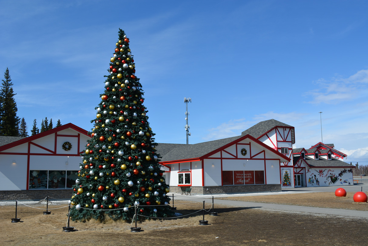 | The Santa Claus House attraction lies just off SR 2 (Richardson Highway) along St. Nicholas Drive, the south side frontage road. 05/08/23 |
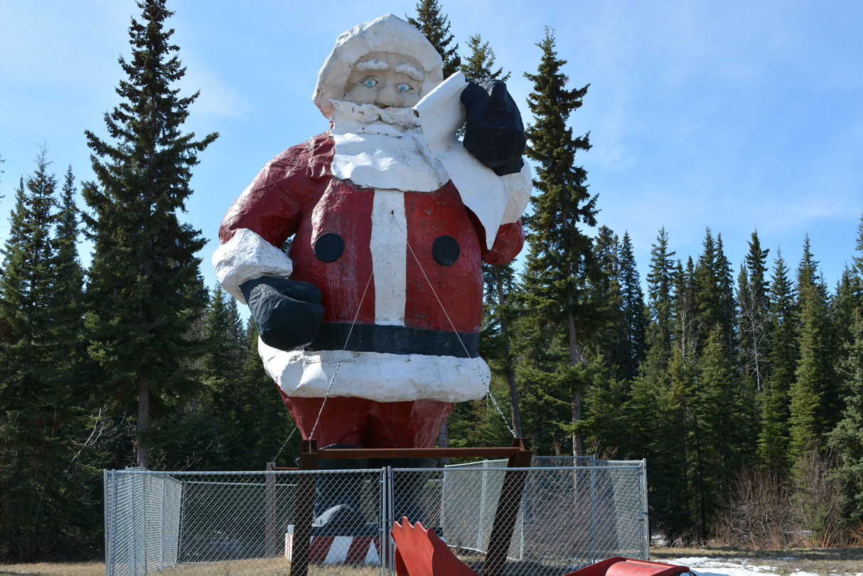 | The 42 foot high statue of Santa Claus at the Santa Claus House in North Pole. 05/08/23 |
- Alaska/Richardson/Steese Highways Corridor Action Plan - Transportation Advisory Committee Work Session - Overview of Bridge Questions asked to date. https://dot.alaska.gov/nreg/ tetlintofortknox/files/05-16-23-slides-p7.pdf Alaska Department of Transportation & Public Facilities, May 16, 2023.
- Online Open House - Johnson River Bridge Replacement. Alaska Department of Transportation and Public Facilities.
- "New Richardson Highway Loop Open to Traffic." Fairbanks Daily News-Miner, September 13, 1941.
- "Richardson Route Hurts Business Merchants Say." Fairbanks Daily News-Miner, September 16, 1966.
- "Steese bypass opens Monday." Fairbanks Daily News-Miner, September 10, 1977.
- "Project means Santa will have to learn to navigate a roundabout." Alaska Journal of Commerce (Anchorage, AK), January 20, 2007.
Photo Credits:
05/08/23 by AARoads
Connect with:
State Route 1 - Sterling Hwy / Seward Hwy / Glenn Hwy
State Route 3 - Parks Highway
State Route 5 - Taylor Highway
State Route 6 - Steese Highway
State Route 11 - Dalton Highway
Airport Way - Fairbanks
Johansen Expressway - Fairbanks
Page Updated 06-15-2023.