
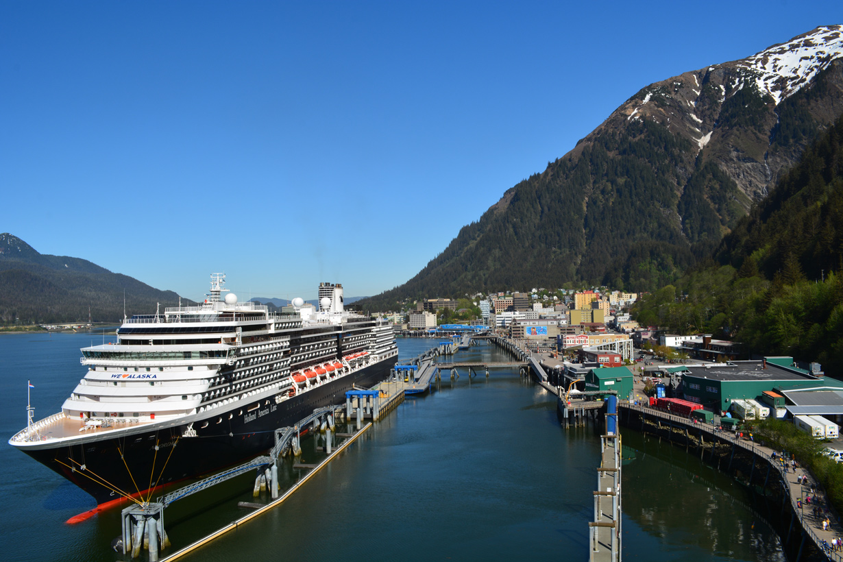
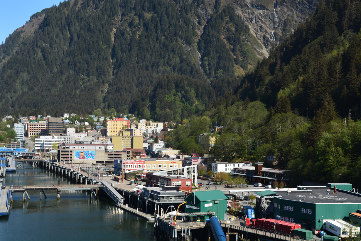
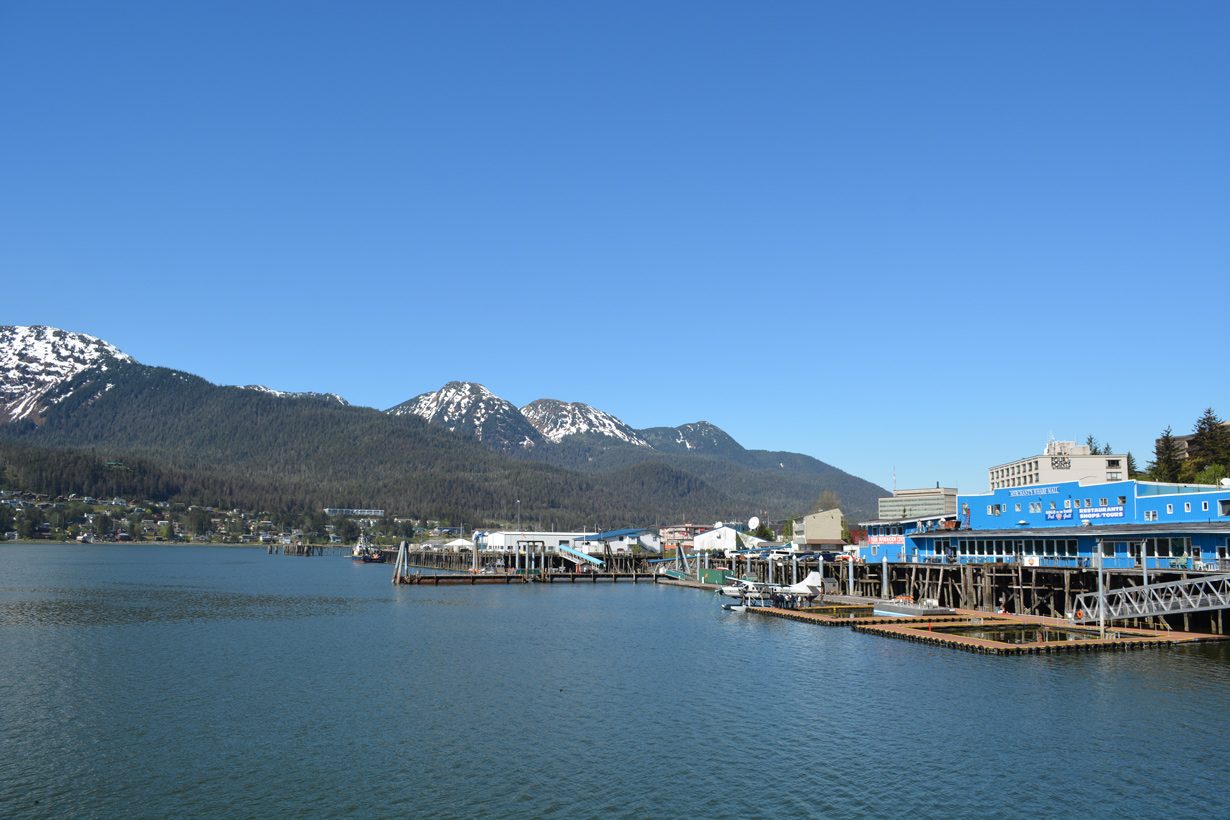
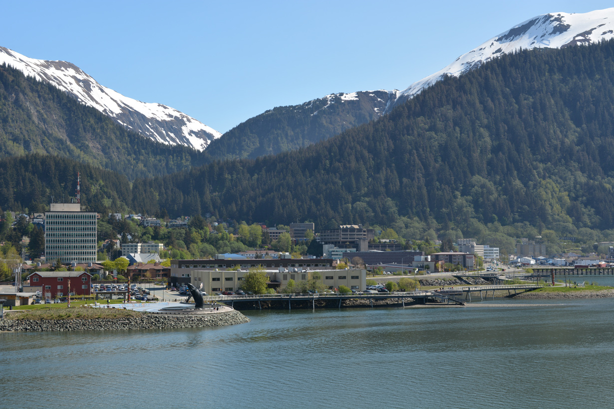
A commercial strip lines Franklin Street north to Marine Way and Downtown, Juneau while the Juneau waterfront spreads west along Gastineau Channel and Egan Drive (SR 7). The Douglas Bridge connects Juneau with Douglas Island to the west while Mount Juneau rises to the east. 05/17/23
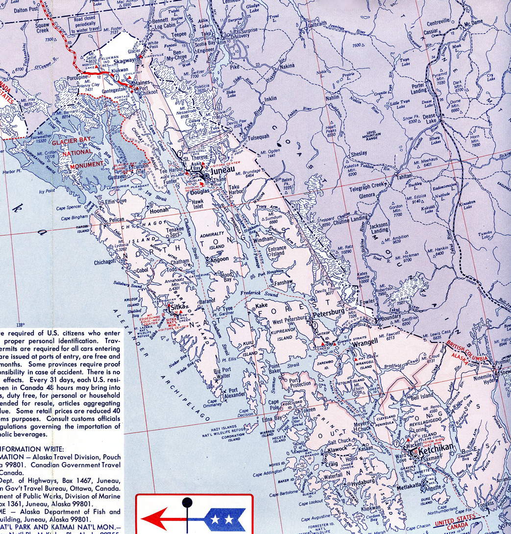
Partitioned into four separate sections, State Route 7 connects areas within Alaska's Alexander Archipelago including the capital city.
Alaska State Route 7 Guides
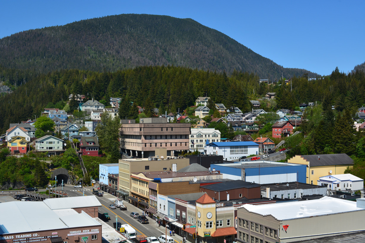
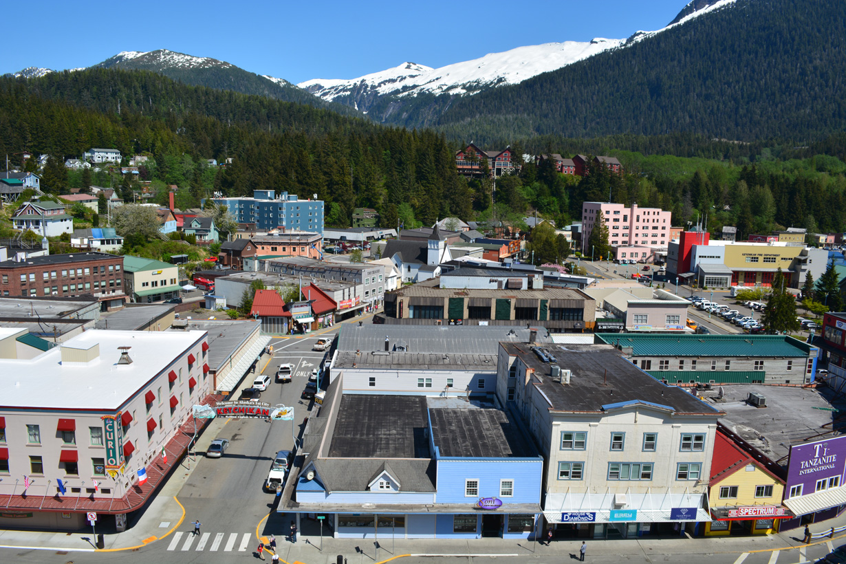
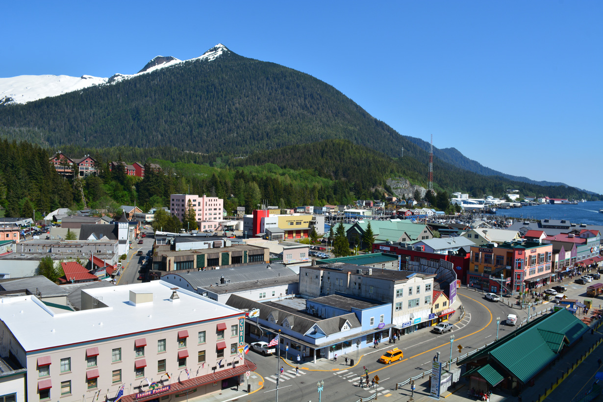
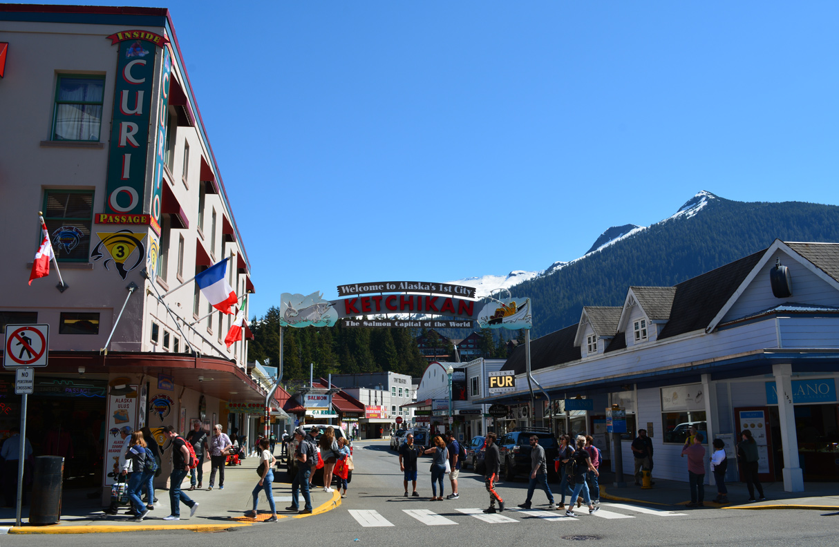
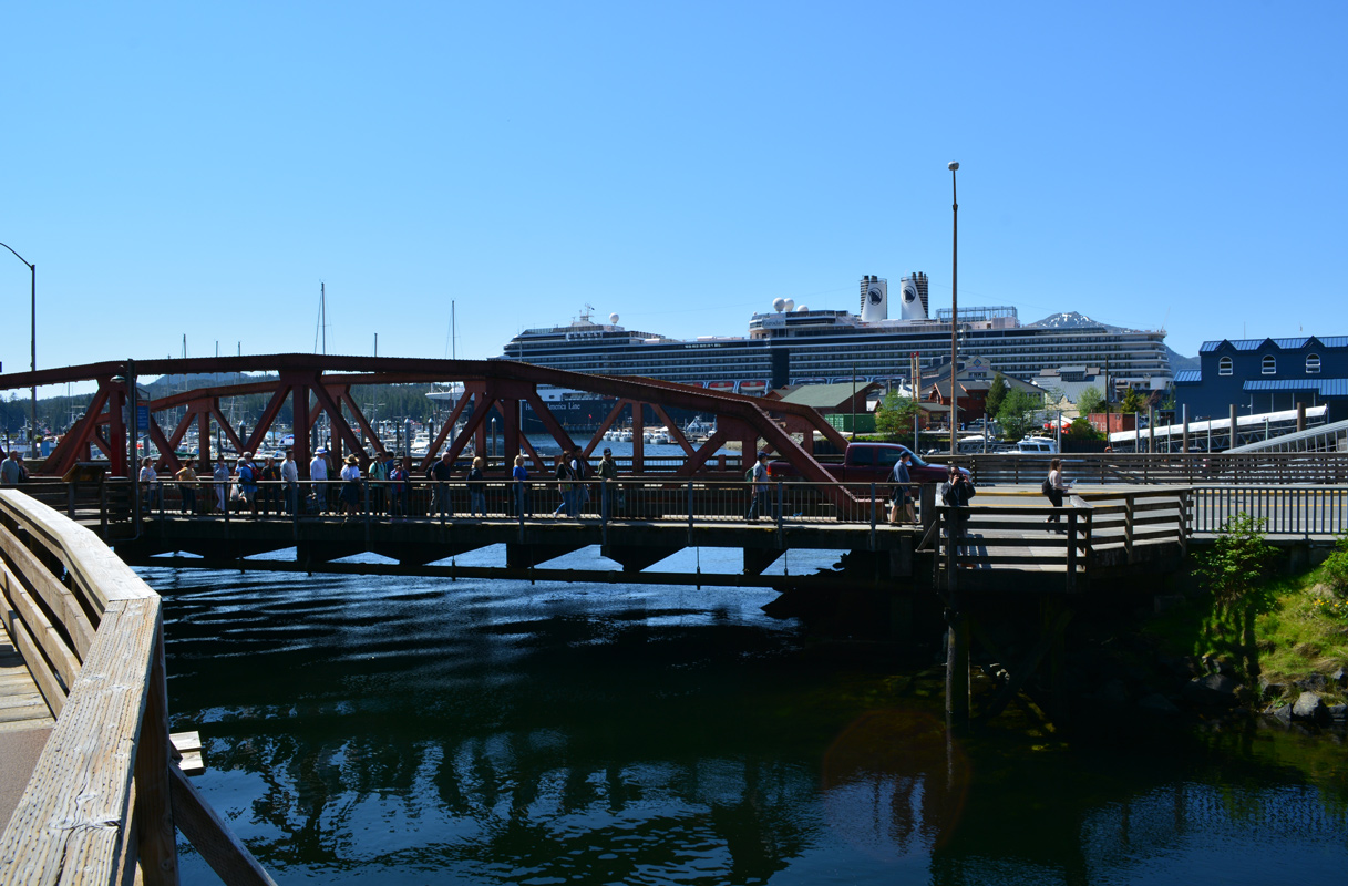
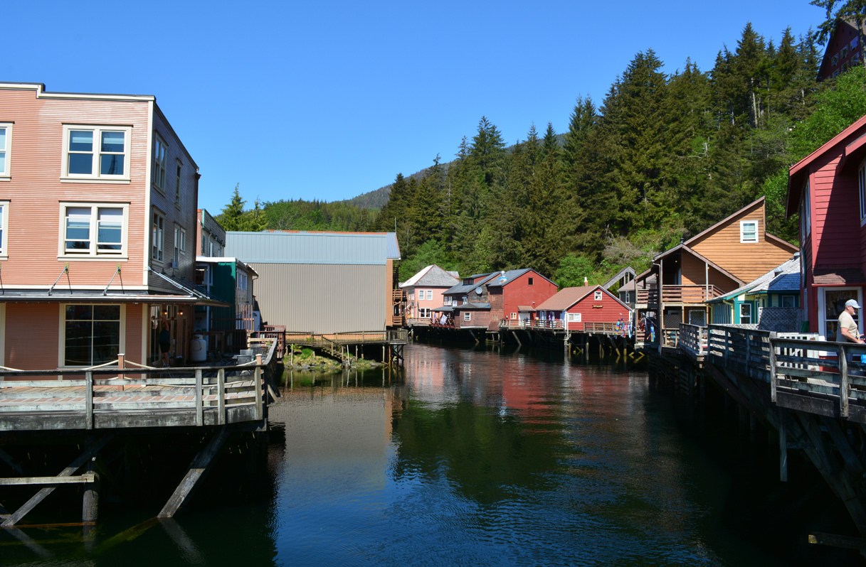
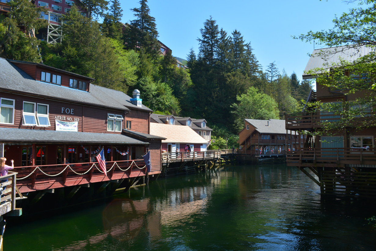
SR 7 (Front Street) leads north through Downtown Ketchikan to the Water Street Tunnel and south onto Mill Street and the historic Stedman Street Bridge. SR 7 spans Ketchikan Creek at the Historic Creek Street district. 05/18/23
Ketchikan
Serving the city of Ketchikan, the southernmost segment of SR 7 straddles the coastline of Revillagigedo Island along a 26.87 mile long course. Following Tongass Highway, SR 7 originates at Beaver Falls east of Twin Peaks. Heading southwest along George Inlet, Tongass Highway runs east of Achillie Mountain to Herring Bay and south around Fawn Mountain via Mountain Point.
Turning northwest along the East Channel of Tongass Narrows, SR 7 (Tongass Highway) continues into the town of Saxman and then the city of Ketchikan along Stedman Street. SR 7 dog legs west along Mill Street onto Front Street. Front Street becomes Water Street at Grant Street, where SR 7 splits with northbound utilizing a short tunnel and southbound passing nearby to the west. SR 7 shifts onto Tongass Avenue from Water Street beyond Ketchikan Harbor.
The remainder of SR 7 through Ketchikan lines Tongass Avenue, a three lane commercial boulevard. Beyond the city limits, SR 7 resumes along Tongass Highway to Peninsula Point west of Signal Mountain. The highway turns northward around Ward Cove en route to Clover Pass. The northernmost extent of SR 7 on Revillagigedo Island follows the waters of Clover Passage to Settlers Cove State Recreation Site.
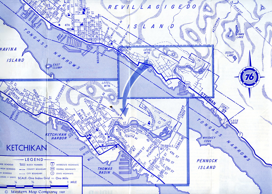
The 1969 Western Map Company map of Ketchikan labeled Alaska State Route 7 also as U.S. 95.
Petersburg / Mitkof Island
Alaska State Route 7 on Mitkof Island measures 34.23 miles in length from a dead end north of Blaquiere Point and east of Favor Peak to the north end of the island at Petersburg. Following Mitkof Highway, SR 7 straddles the south shore along Sumner Strait before turning north along Blind Slough. Mitkoff Highway continues northward beside Wrangell Narrows into the census designated place of Petersburg.
Mitkof Highway ends where SR 7 becomes Nordic Drive at Petersburg Ferry Terminal Road. The northernmost 1.96 miles of SR 7 follow Nordic Drive through the Petersburg business district to Sandy Beach Road at the northern tip of Mitkof Highway by Frederick Sound.
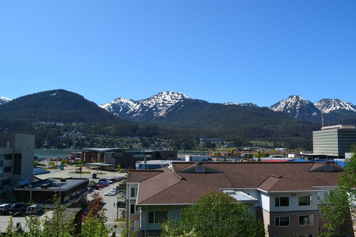
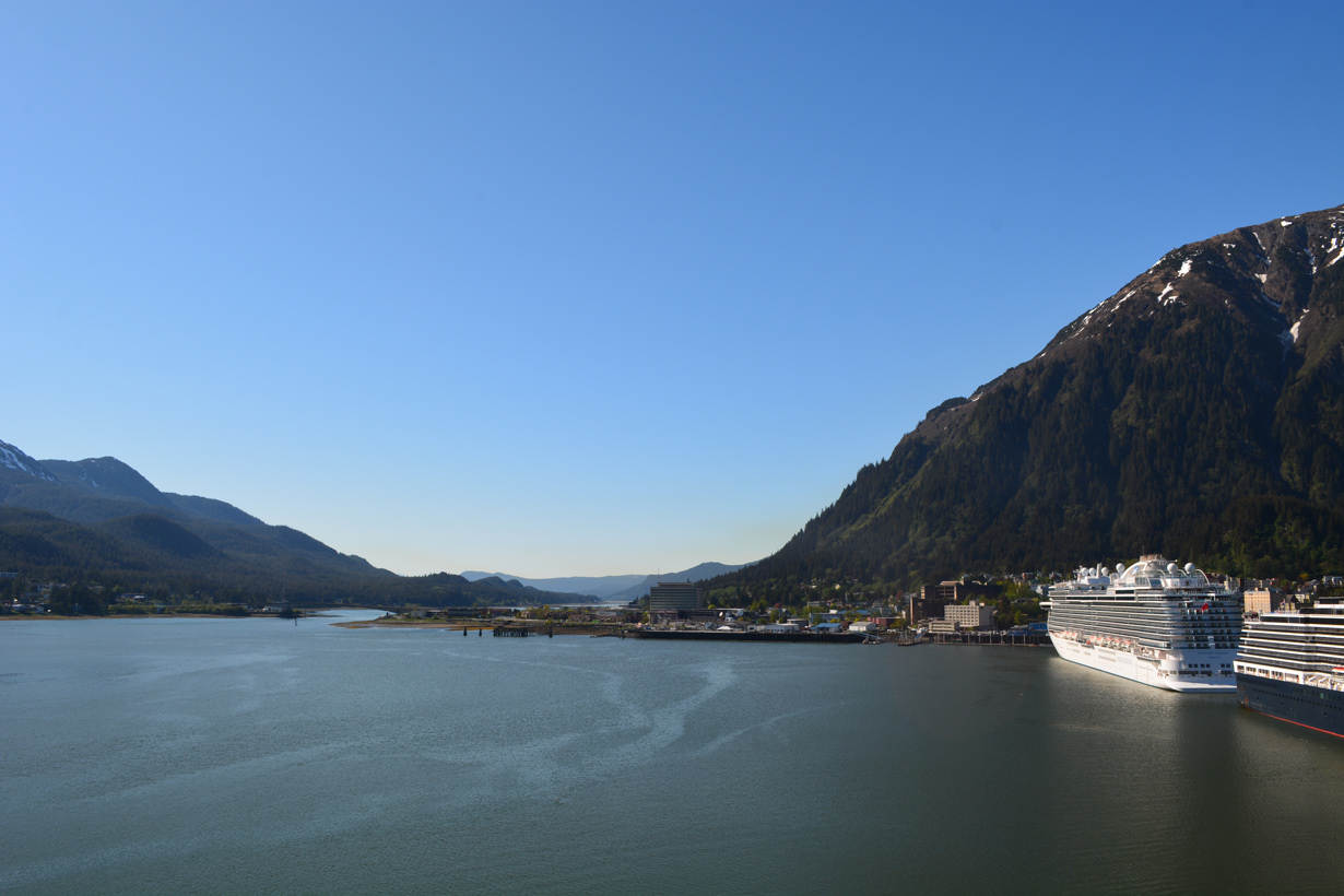
Juneau
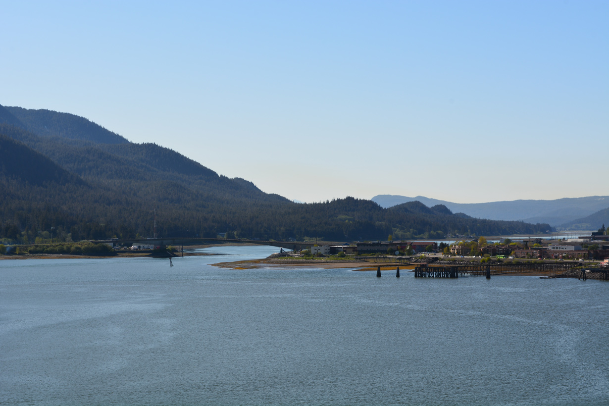
SR 7 through the city and borough of Juneau constitutes a 41.77 mile long route from Downtown Juneau to the north end of Glacier Highway at Berners Bay. Originating at the intersection of Main Street and Marine Way, SR 7 lines Egan Drive, a four lane boulevard encircling the Juneau street grid. Egan Drive connects with the Juneau Douglas Bridge spanning Gastineau Channel at W 10th Street.
Heading northwest, Egan Drive expands into a controlled access expressway at Norway Point. SR 7 bypasses a commercial area along Glacier Highway south of Thunder Mountain, with a diamond interchange and access road linking the two roads. The eight mile long expressway continues past Juneau International Airport (JNU) to Vintage Boulevard, where SR 7 transitions from Egan Drive onto Glacier Highway.
Glacier Highway leads SR 7 west across the Mendenhall River to Pederson Hill on Mendenhall Peninsula. The state route navigates through a series of S-curves between Auke Lake and Auke Bay to the University of Alaska Southeast. Glacier Highway runs west along Auke Bay by Auke Mountain toward Point Lena. Turning north ahead of Tee Harbor, SR 7 parallels Favorite Channel north to St. Terese. The route turns east ahead of Echo Cove and north to a dead end.
SR 7 at Haines, Juneau, Petersburg and Ketchikan in 1969
Haines
The northernmost branch of Alaska State Route 7 extends 39.62 miles south from British Columbia to the intersection of Main Street and 2nd Avenue/Lutak Road in the census designated place of Haines. Main Street west becomes Haines Highway at Union Street beyond the Haines street grid. Continuing past Haines Airport, SR 7 follows the Chilkat River adjacent to the Takshanuk Mountains.
Beyond Klukwan, SR 7 turns west across the Chilkat River at Wells. The remainder of Haines Highway parallels the Klehini River to Moose Valley and the south slopes of Mount Cheetdeekahyu to the Canadian border. Haines Highway extends north to Haines Junction, Yukon.
Page Updated 05-26-2023.