
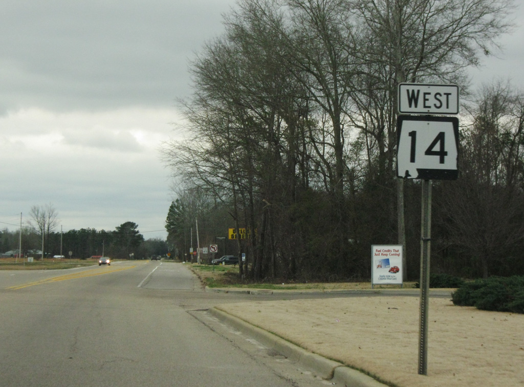
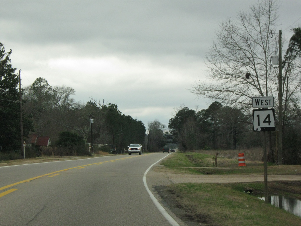
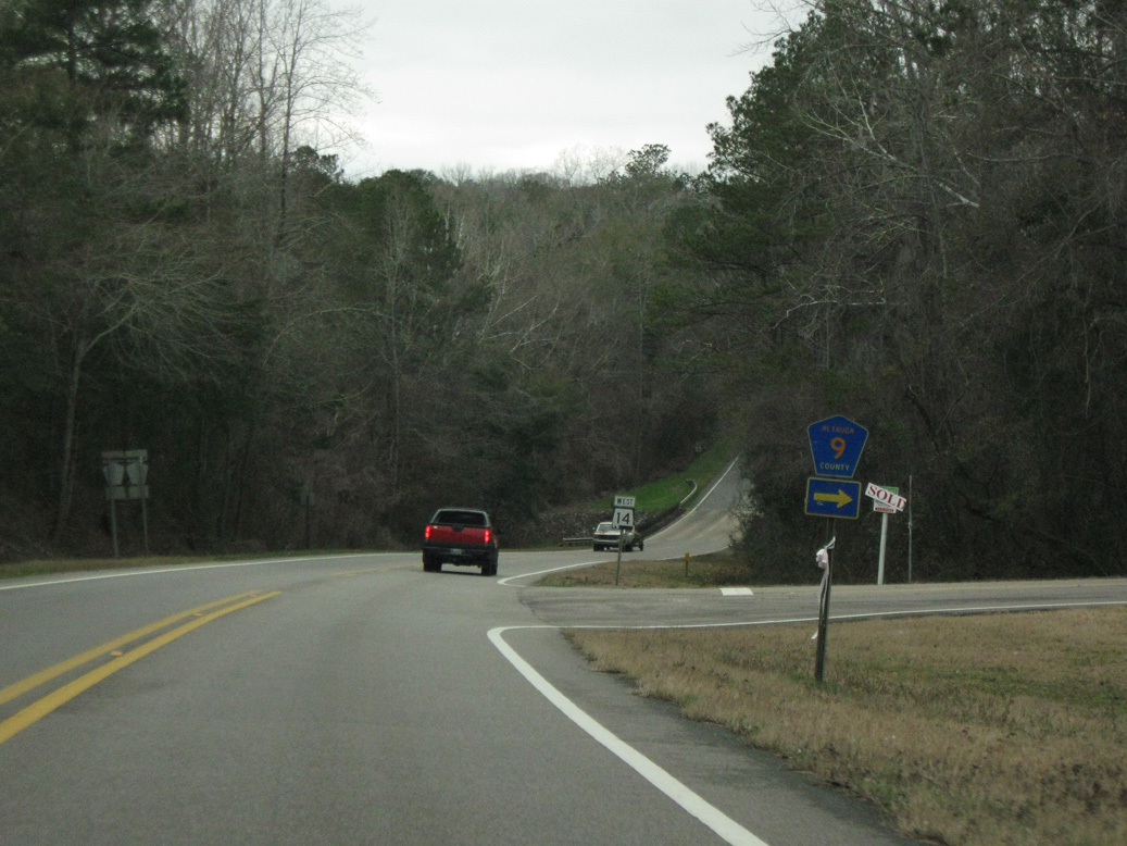
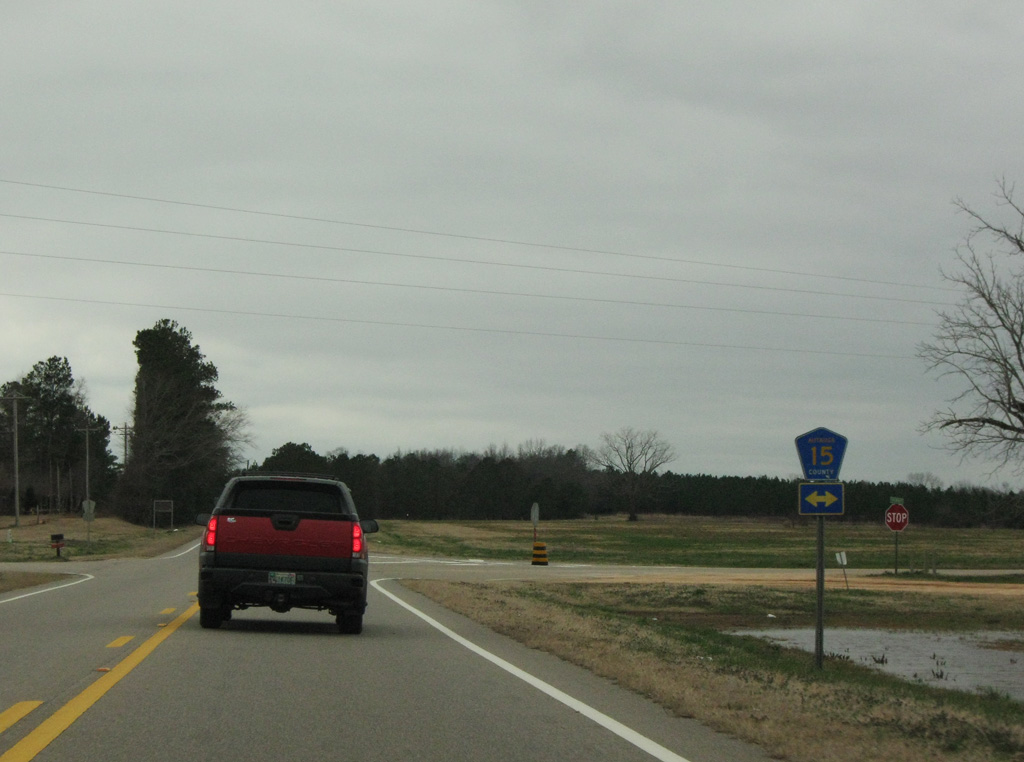
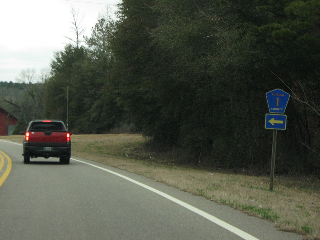
Alabama State Route 14 travels nearly the width of the state, from the Mississippi state line north of Pickensville, to Auburn in Lee County. Measuring 218.29 miles in length, SR 14 joins a number of county seats including Eutaw, Greensboro, Marion in western Alabama and Selma with Prattville to the north of Montgomery. Eastern reaches of the highway join Wetumpka, Tallassee and Notasulga. SR 14 formerly extended east to Opelika, but was truncated to SR 147 with the removal of all state routes through the city of Auburn.
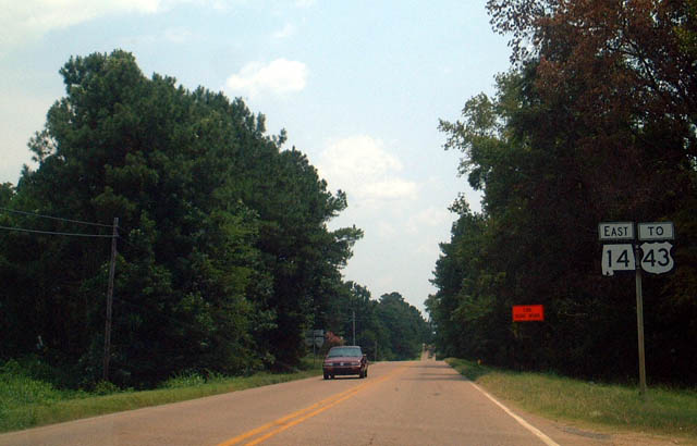
Leaving the exchange with I-59/20, SR 14 travels three miles east to the city of Eutaw where it meets U.S. 43.
08/10/02
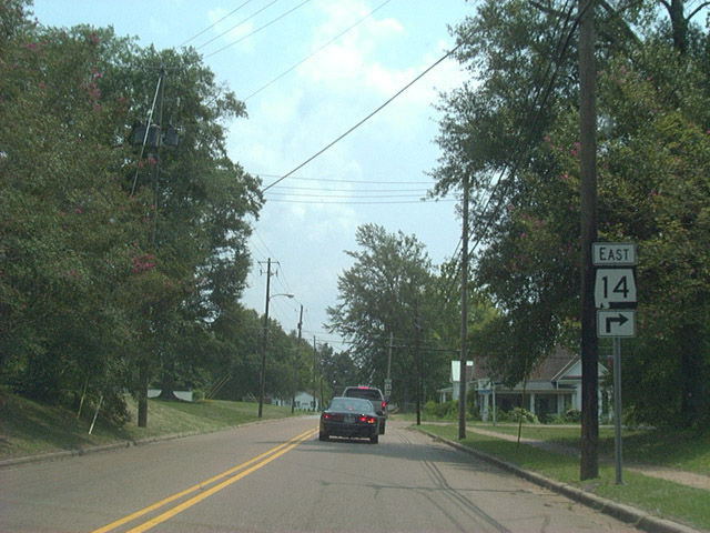
Entering Eutaw, SR 14 navigates along Mesoptamia Street, Eutaw Avenue and Main Street through residential areas northwest of Downtown.
08/10/02
Main Street leads SR 14 east to U.S. 11 and U.S. 43 at the Green County Courthouse.
12/19/09
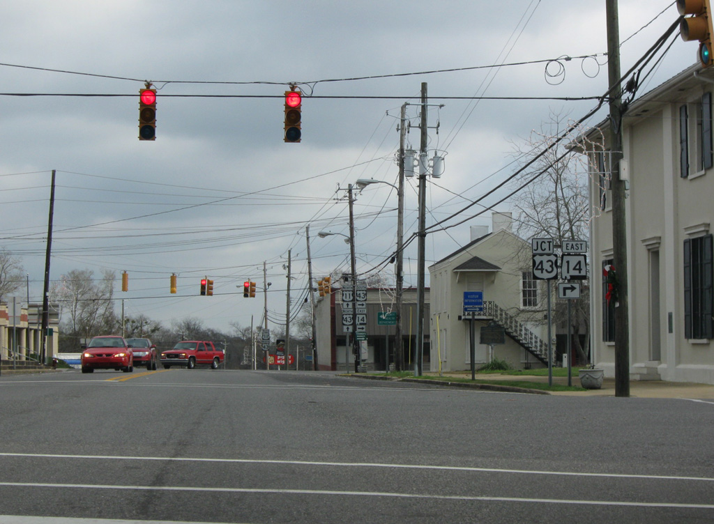
Prairie Avenue connects SR 14 east with U.S. 11 along Boligee Street one block to the south.
12/19/09
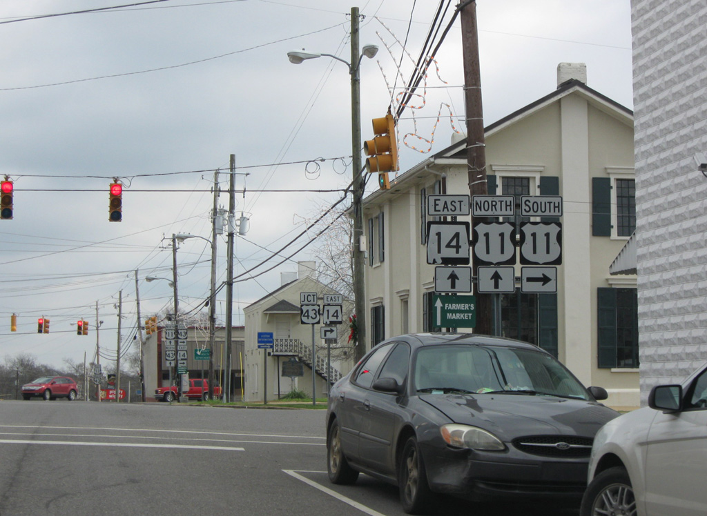
SR 14 (Tuscaloosa Street) advances one block east to U.S. 11/43 at Morrow Avenue.
12/19/09
SR 14 combines with U.S. 43 along Morrow one block south to Boligee Street east. U.S. 11/43 north overlap from Eutaw to Tuscaloosa.
08/10/02
 South
South  East
East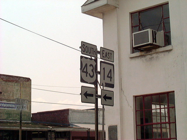
U.S. 43/SR 14 pass the east side of the Greene County Courthouse along Morrow Avenue south to Boligee Street in Downtown Eutaw.
08/10/02
U.S. 43/SR 14 overlap for 0.52 miles southeast along Boligee and Greensboro Streets from Morrow Avenue and Courthouse Square in Eutaw.
08/10/02

U.S. 43 turns southward from SR 14 and Eutaw to Forkland and the city of Demopolis.
08/10/02
East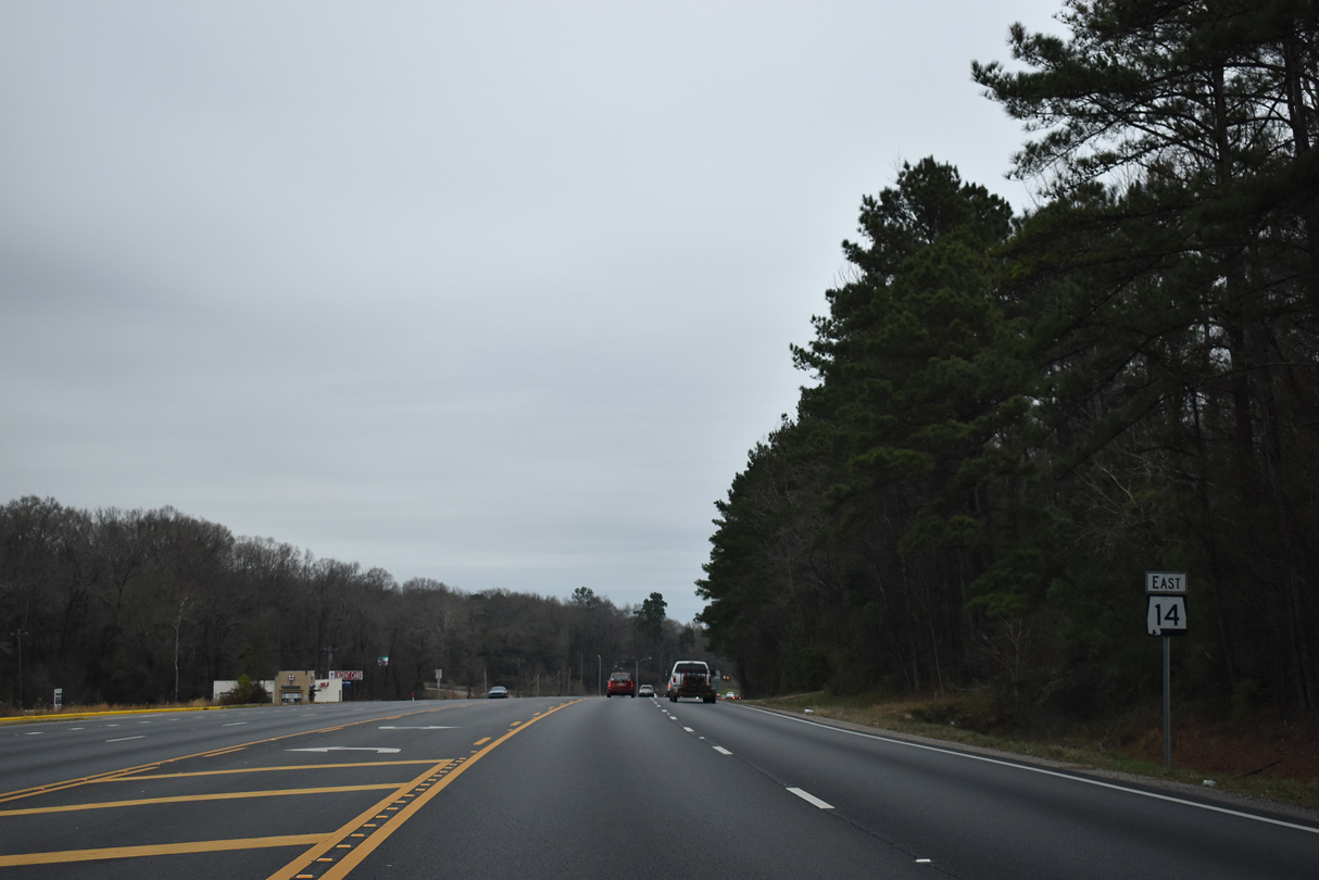
Confirming marker posted east of the separation with Interstate 65 north outside Prattville.
01/12/19

SR 14 was relocated to bypass Prattville along I-65 south and U.S. 82 west on May 1, 2015.
01/12/19

SR 14 previously followed Fairview Avenue west to U.S. 31 in Prattville, then Main Street west to Washington Street, where SR 206 used to end, south.
02/06/10
Selma Highway (old SR 14) heads south from Washington Street and Downtown Prattville to U.S. 82/SR 14.
02/06/10
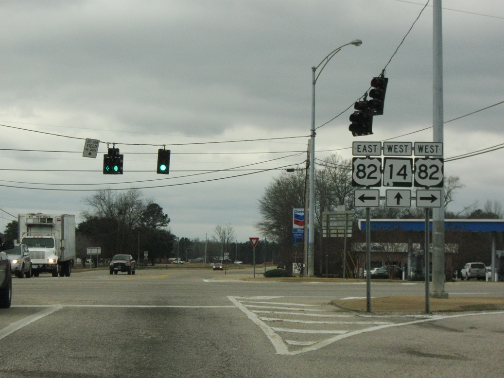
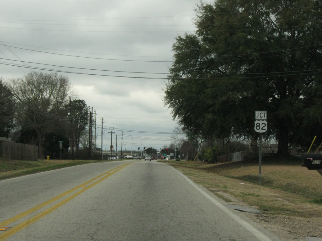
U.S. 82 bypasses Prattville to the west en route to Centreville. SR 14 combines with U.S. 82 east to circumvent Prattville to Interstate 65.
02/06/10
SR 14 joins Selma Highway southwest from U.S. 82.
02/06/10

02/06/10
02/06/10
02/06/10
02/06/10
02/06/10
02/06/10
02/06/10
02/06/10
02/06/10
02/06/10
02/06/10
02/06/10
02/06/10
02/06/10
02/06/10
02/06/10
02/06/10
02/06/10
02/06/10
02/06/10
02/06/10
02/06/10
02/06/10
02/06/10
02/06/10
02/06/10
02/06/10

02/06/10
02/06/10
02/06/10
02/06/10
02/06/10
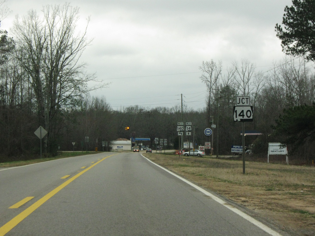
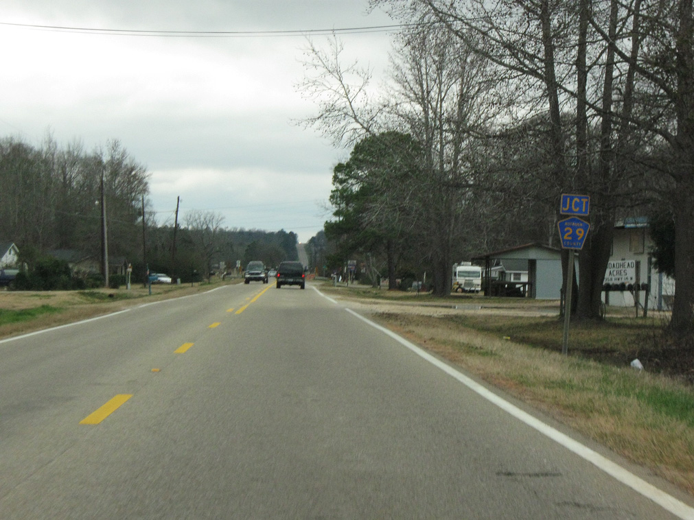
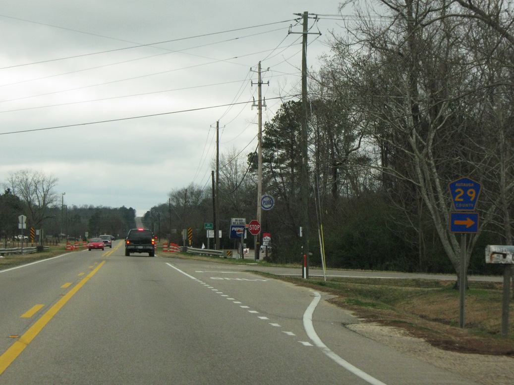
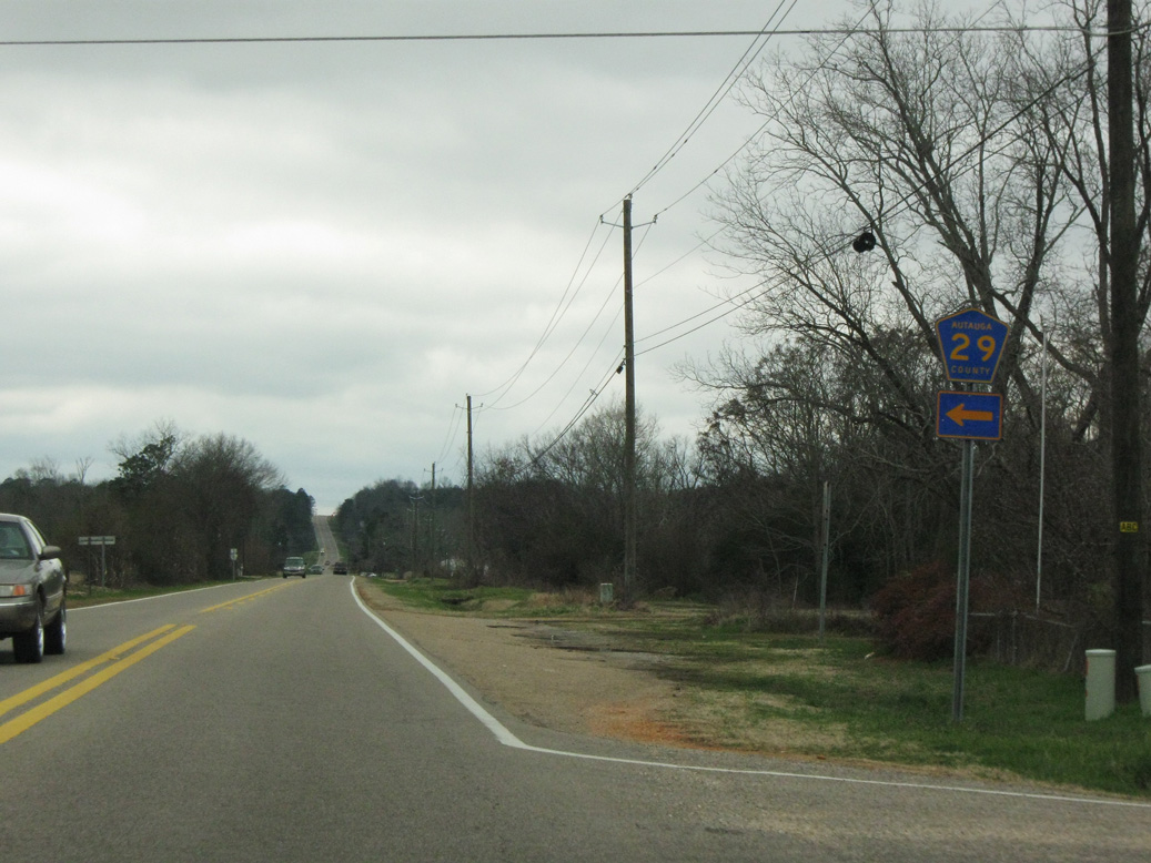
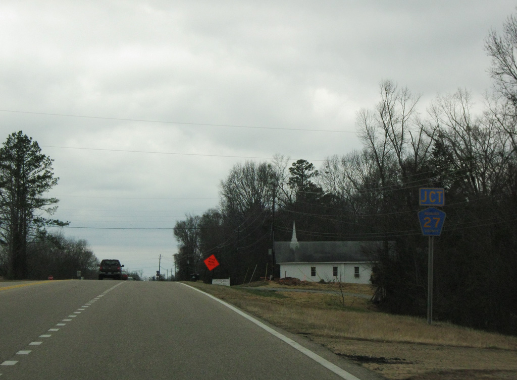
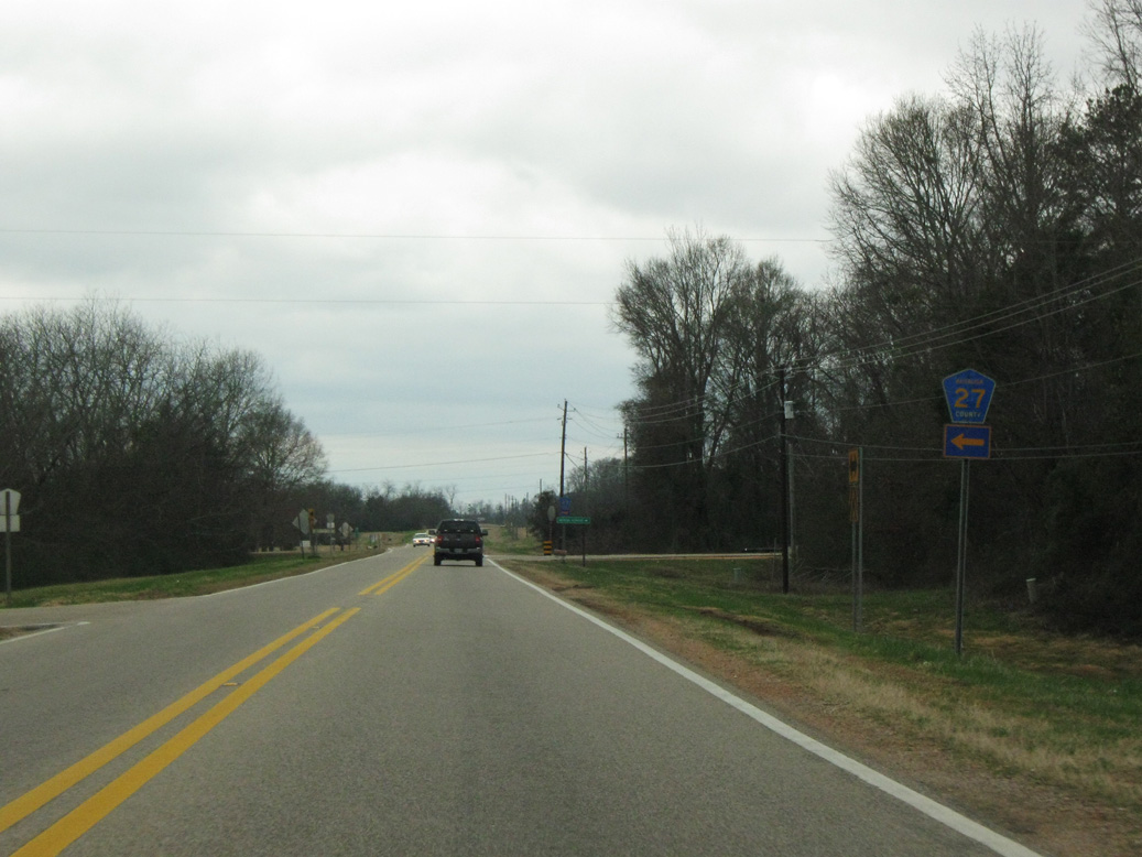
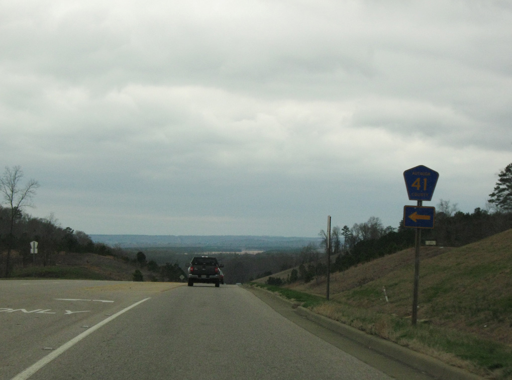
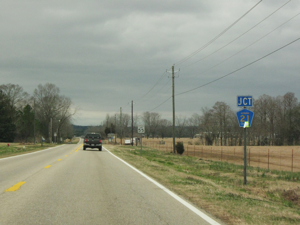
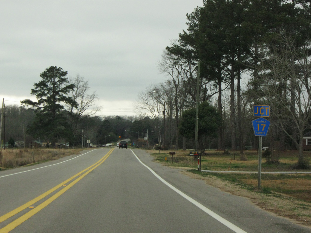
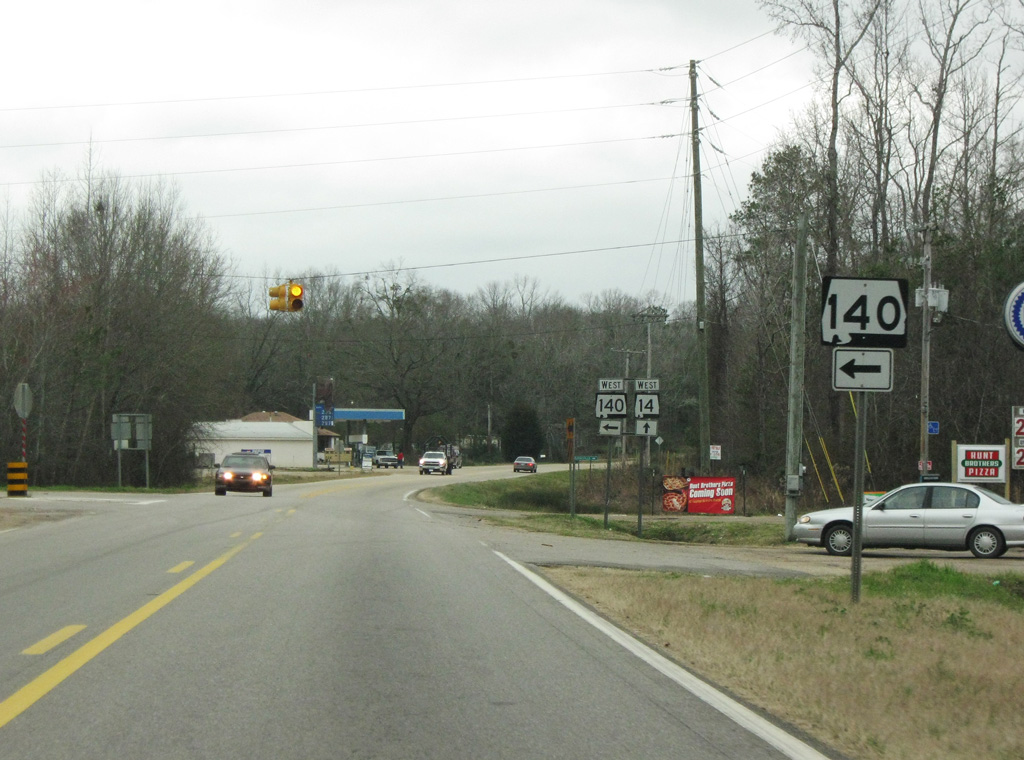
SR 14 west intersects the east end of SR 140 just inside Dallas County.
02/06/10
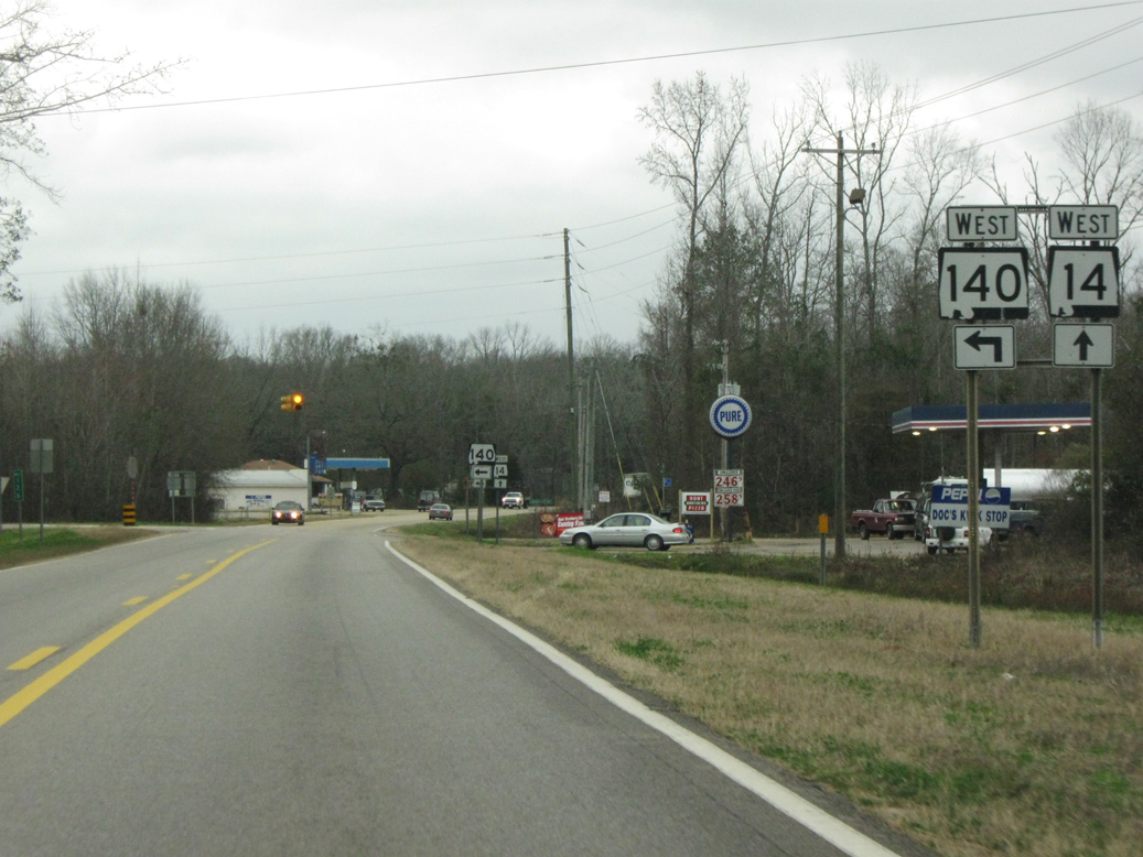
SR 140 constitutes a 12.48 mile long loop south toward the Alabama River and west to U.S. 80/SR 41 just outside Selma.
02/06/10
02/06/10

02/06/10
02/06/10

02/06/10
02/06/10
02/06/10
02/06/10
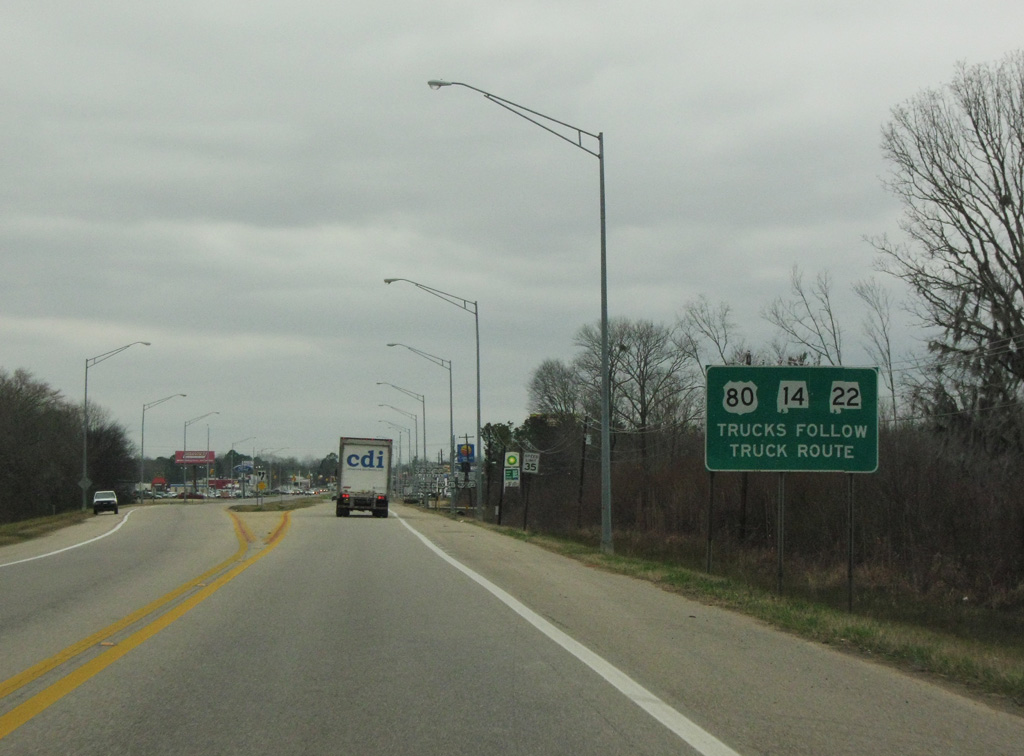
SR 14 converges with U.S. 80/SR 41 just beyond Beech Creek Swamp in north Selma. Doubling as a truck route, U.S. 80 bypasses Downtown Selma to the east and north.
02/06/10
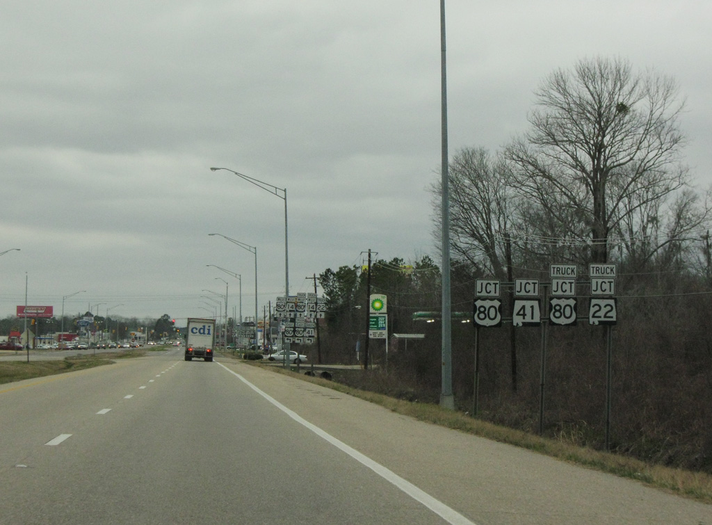
SR 14 combines with U.S. 80 (Highland Avenue) west for 2.96 miles along a commercial boulevard. U.S. 80 east follows a controlled access expressway to Water Avenue.
02/06/10
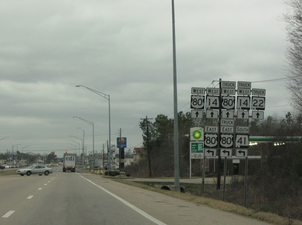
SR 41 commences south alongside U.S. 80 from SR 14. The two routes overlap for 4.75 miles to Selmont and West Selmont.
02/06/10
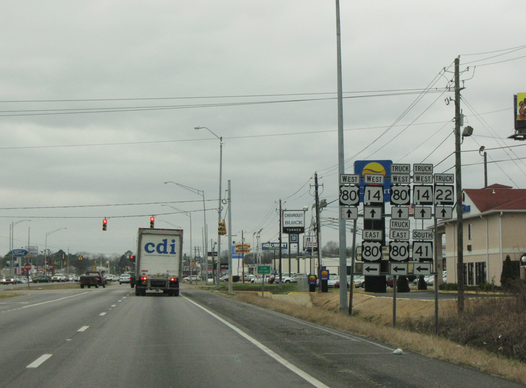
SR 41 joins Selma with Camden and Monroeville to the south. U.S. 80 east leads to White Hall and Montgomery.
02/06/10
02/06/10
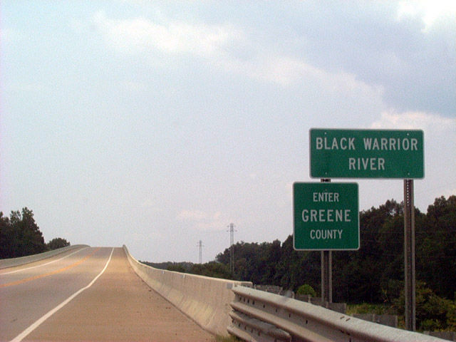
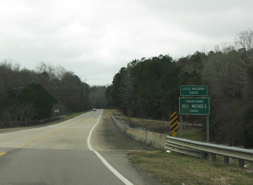
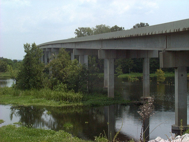
SR 14 spans the Black Warrior River into rural Greene County.
08/10/02
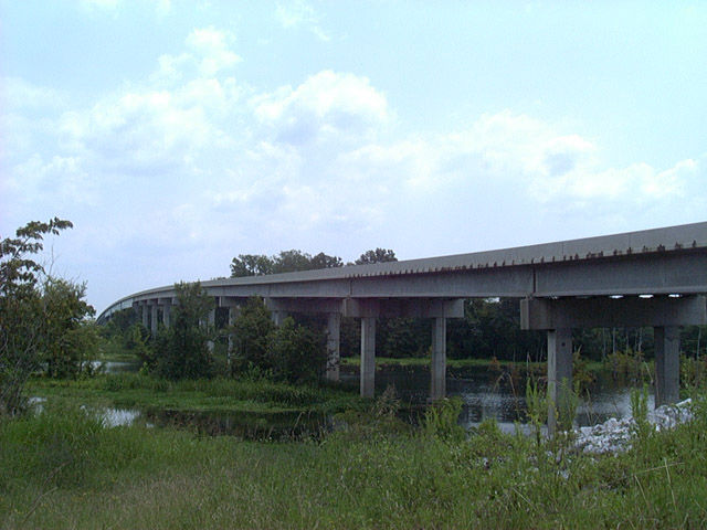
The Black Warrior River originates to the west of Birmingham at Bankhead Lake and flows southward to Lake Demopolis, and ultimately the Tombigbee River. Completed in 1994, the SR 14 span across the river is the lone crossing between I-59/20 at Tuscaloosa and U.S. 43 at Demopolis.
08/10/02
The Black Warrior River originates to the west of Birmingham at Bankhead Lake and flows southward to Lake Demopolis, and ultimately the Tombigbee River. Completed in 1994, the SR 14 span across the river is the lone crossing between I-59/20 at Tuscaloosa and U.S. 43 at Demopolis.
08/10/02
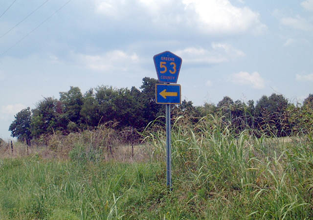
Just inside the city of Eutaw, SR 14 intersects the north end of Greene County Road 53.
08/10/02
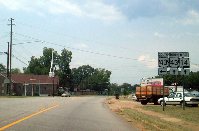
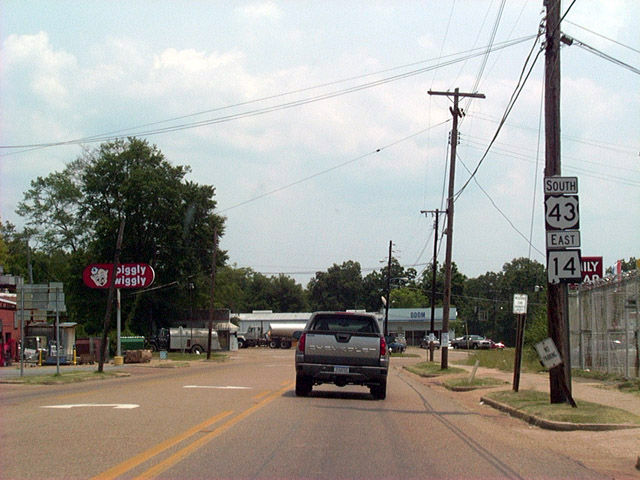
SR 14 (Greensboro Street) combines with U.S. 43 (Demopolis Highway) north in Eutaw. U.S. 43 enters the city from Demopolis, 25 miles to the south.
08/10/02
North 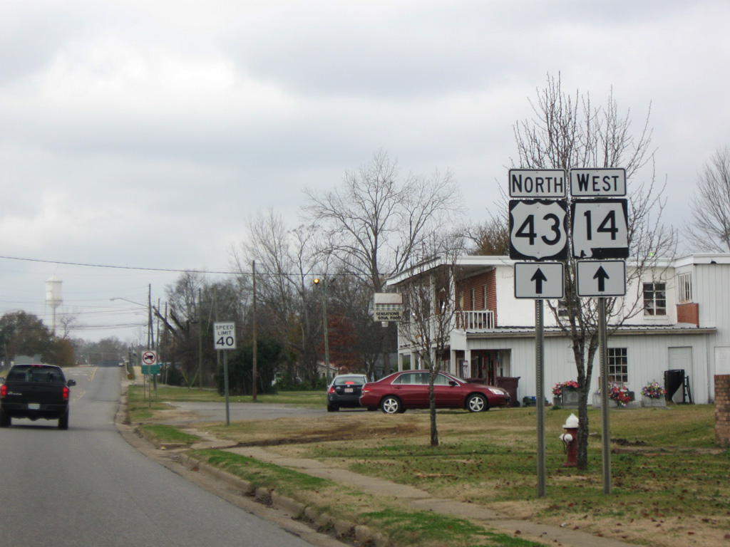
U.S. 43 north and SR 14 west overlap a half mile along Greensboro Street into Downtown Eutaw.
12/19/09

U.S. 43 north and SR 14 west combine with U.S. 11 one block north from Boligee Street to Tusaloosa Street at Greene County Courthouse Square.
12/19/09
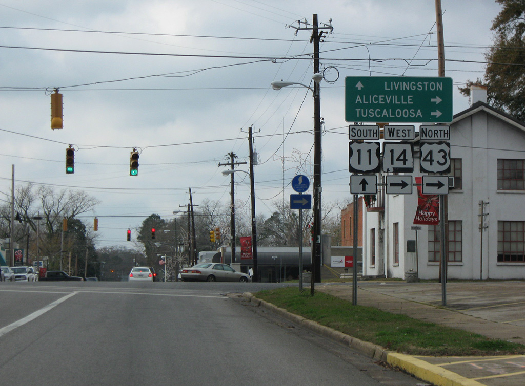
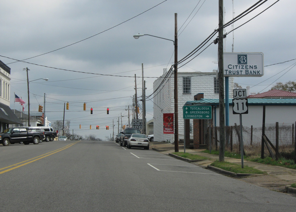
U.S. 11 follows Boligee Street westward from Downtown Eutaw. Continuing southwest, U.S. 11 travels to Boligee, Epes and the Sumter County seat of Livingston.
12/19/09
 North
North 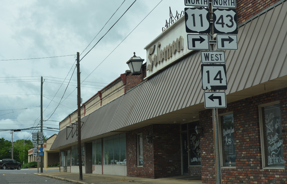
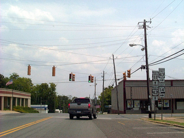
U.S. 11/43 north and SR 14 west combine along Morrow Avenue one block north to Tusaloosa Street.
06/06/17
South 
U.S. 11 follows Springfield Avenue south one block to Boligee Street around Greene County Courthouse Square. SR 14 turns northwest from Eutaw 8.1 miles to the community of Clinton. U.S. 11 leads southwest 10.6 miles to the rural town of Boligee.
08/10/02
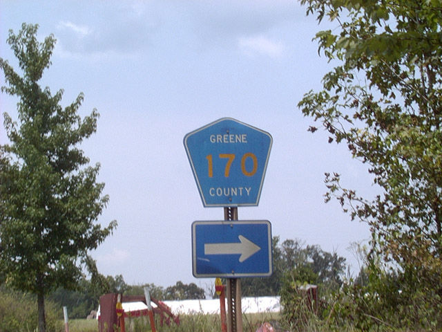
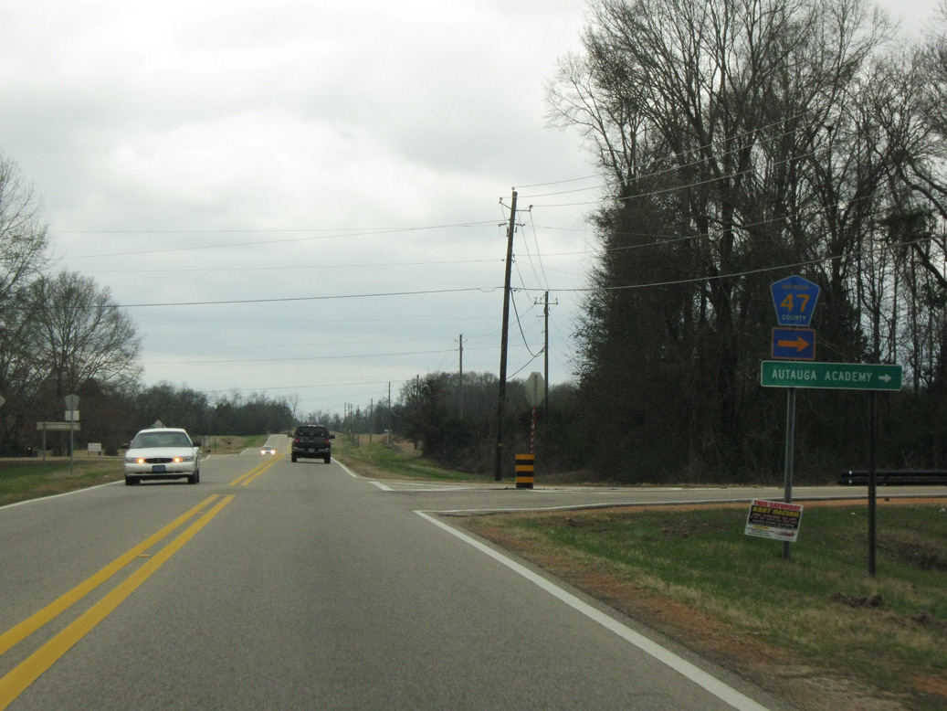
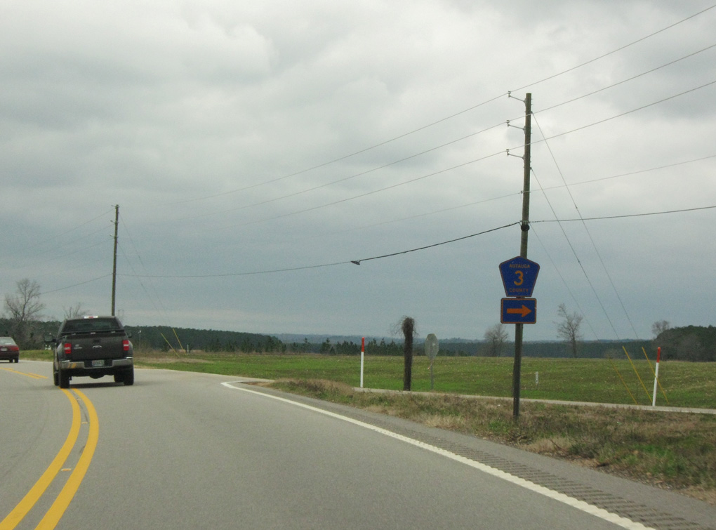
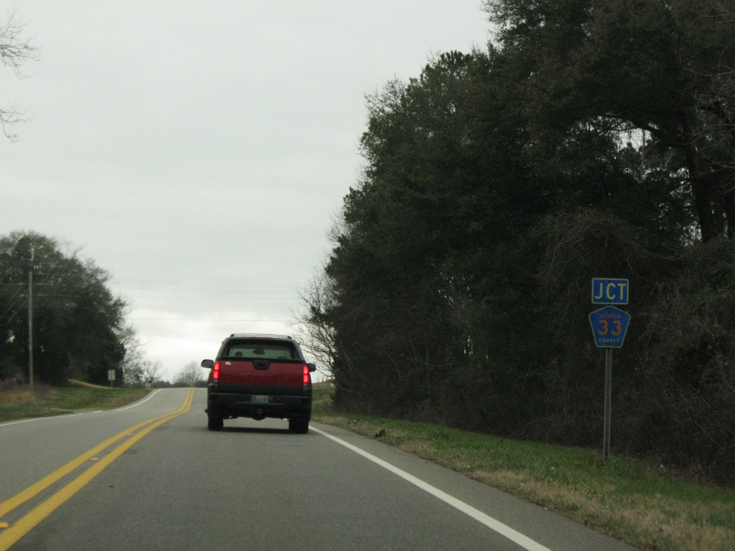
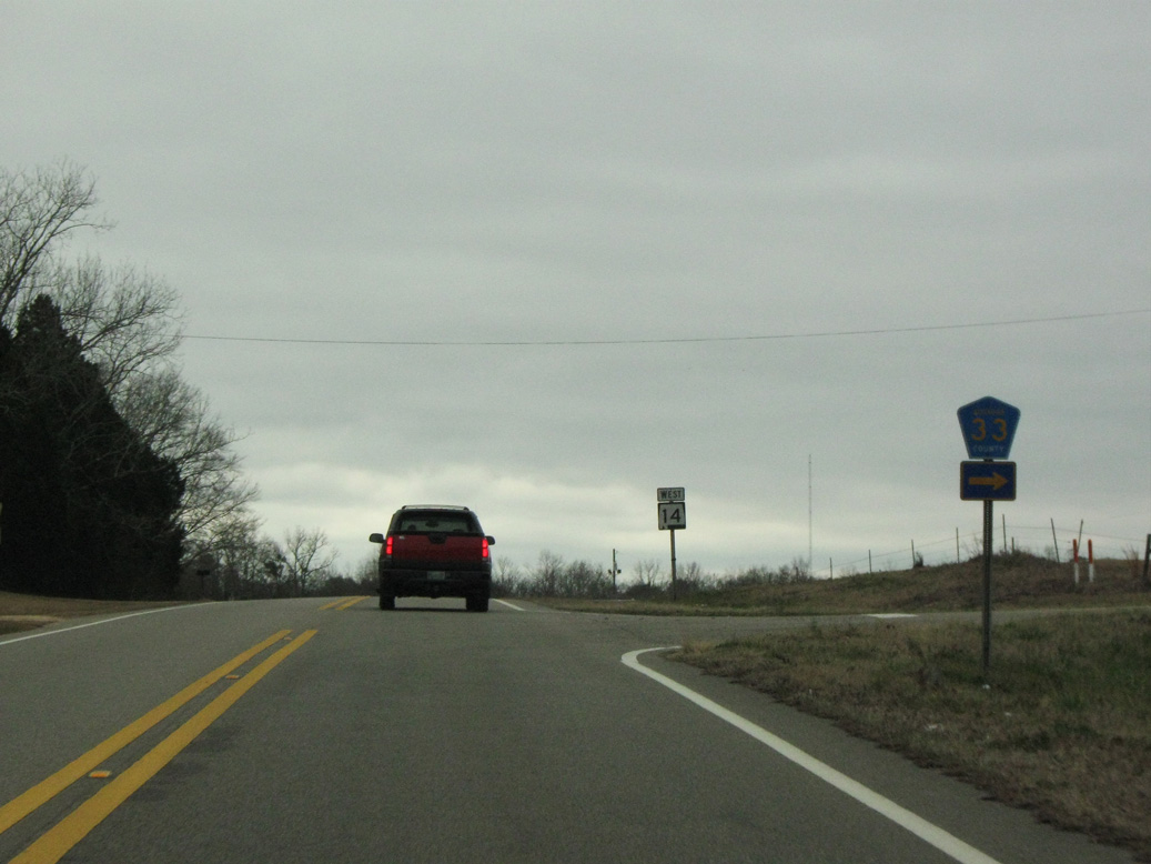
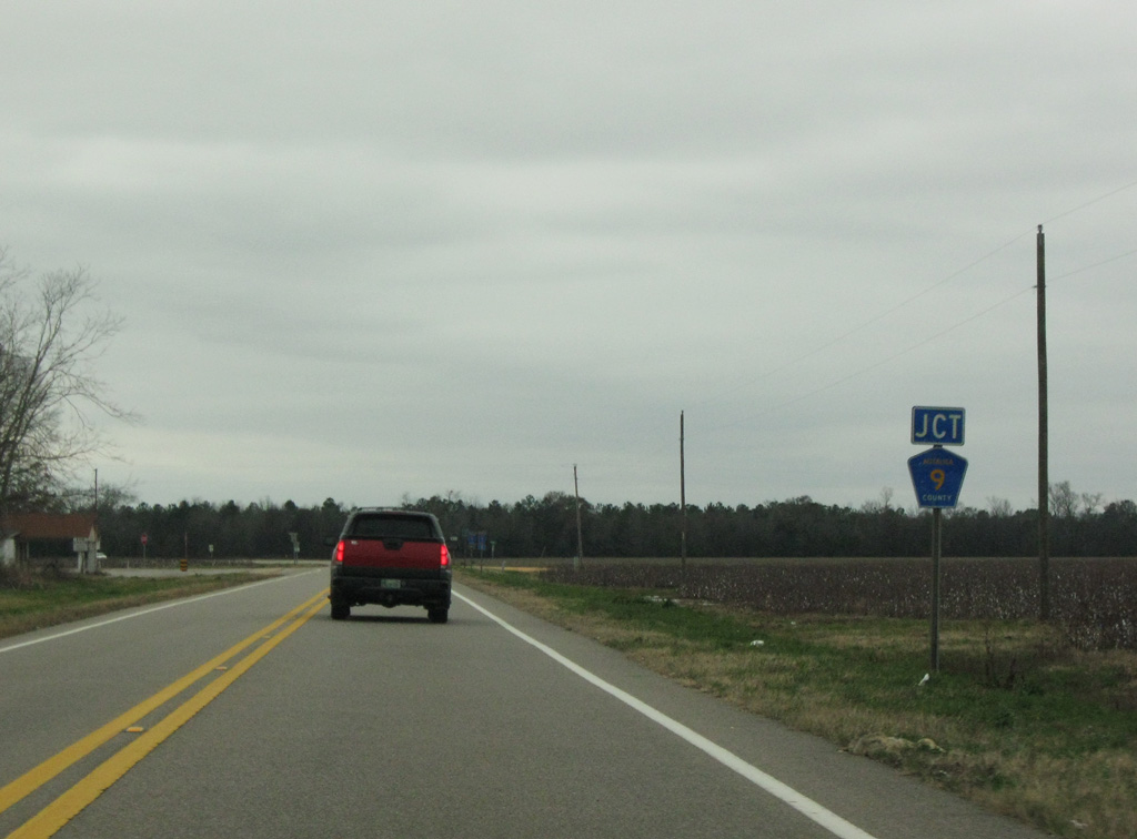
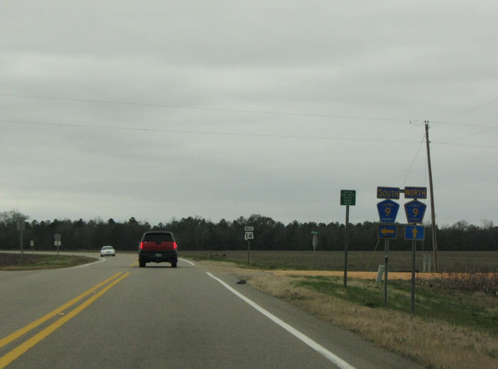
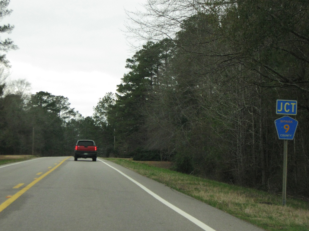
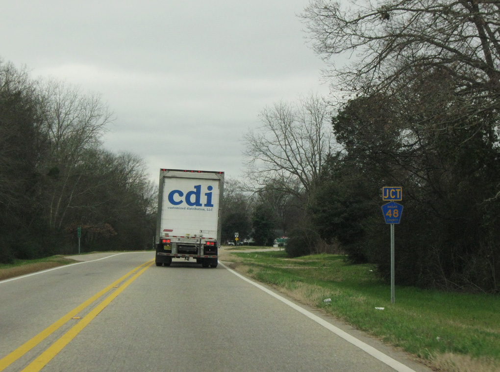
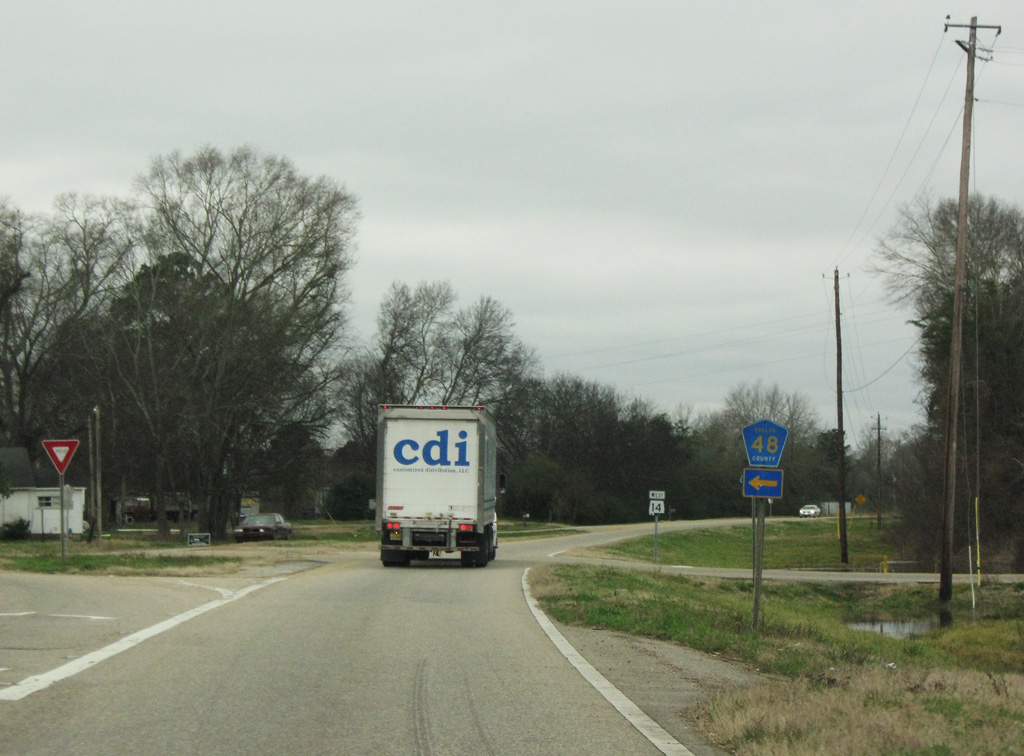
County Road 170 stems 5.9 miles north from SR 14 to CR 208 (Martin Luther King Highway) south of Union.
08/10/02

A diamond interchange joins SR 14 with I-20/59, 2.98 miles northwest of U.S. 11 in Downtown Eutaw.
11/28/09
Photo Credits:
08/10/02, 11/28/09, 12/19/09, 02/06/10, 06/06/17, 01/12/19 by AARoads
Connect with:
Interstate 20
Interstate 59
Interstate 65
U.S. 11
U.S. 43
U.S. 82
Page Updated 08-05-2022.