SR 77 measures 112.33 miles in length from U.S. 431 at Lafayette to Wadley, Ashland, Talladega, Southside and Rainbow City. SR 77 is a four lane highway between Interstate 20 and the city of Talladega.
SR 77 between Talladega and Lincoln doubled as U.S. 231 Alternate until sometime during the 1980s. The alternate route followed SR 21 north from Sylacauga to SR 77, and U.S. 78 west from SR 77 back to U.S. 231 at Pell City.
|
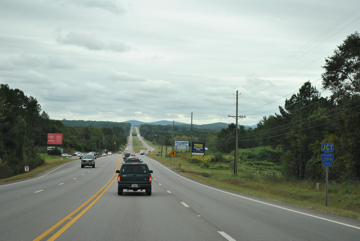
| SR 77 lowers from a ridge south of Interstate 20 ahead of CR 399 (Speedway Boulevard) east to Talladega Superspeedway and the International Motorsports Hall of Fame. 10/07/12 |
|
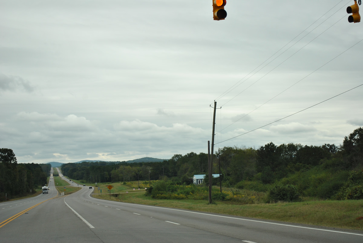
| Speedway Boulevard links SR 77, to the west of Dry Valley, with CR 5 near Old Eastaboga to the east. The four lane boulevard provides the main access route to Talladega Superspeedway. During NASCAR Cup races at the 141,000 seat venue, traffic along CR 399 shifts to inbound only ahead of the event and outbound after the event. 10/07/12 |
|
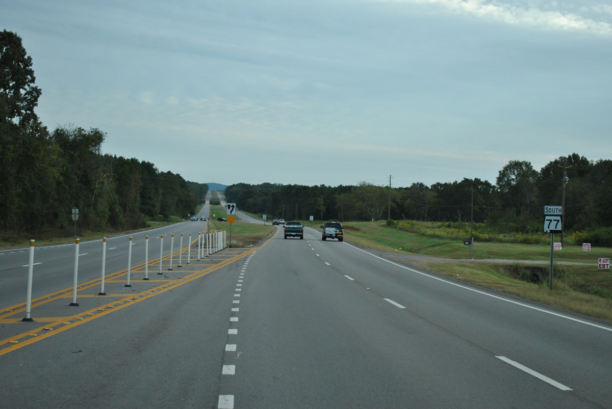
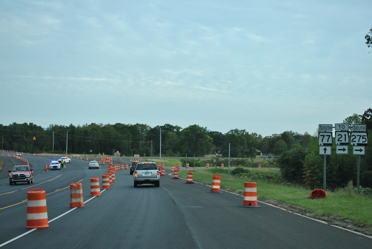
| SR 77 expands into a divided highway south from Speedway Boulevard to the county seat. This photo looks at the scene after the Good Sam Roadside Assistance 500 race at Talladega Superspeedway. Police set up roadblocks at various intersections to prevent northbound traffic from impeding the southbound flow along SR 77 to SR 275. 10/07/12 |
|
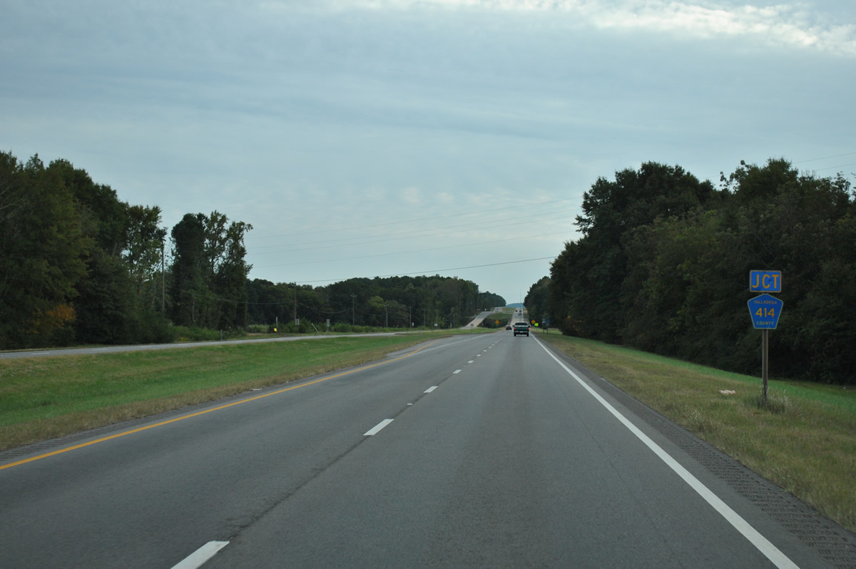
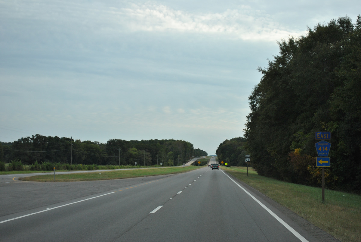
| Advancing to the west end of Talladega County Route 414 along SR 77 south. 10/07/12 |
|
| CR 414 is of an unpaved route leading 2.1 miles east from SR 77 to CR 374 (Tipton Road). 10/07/12 |
|
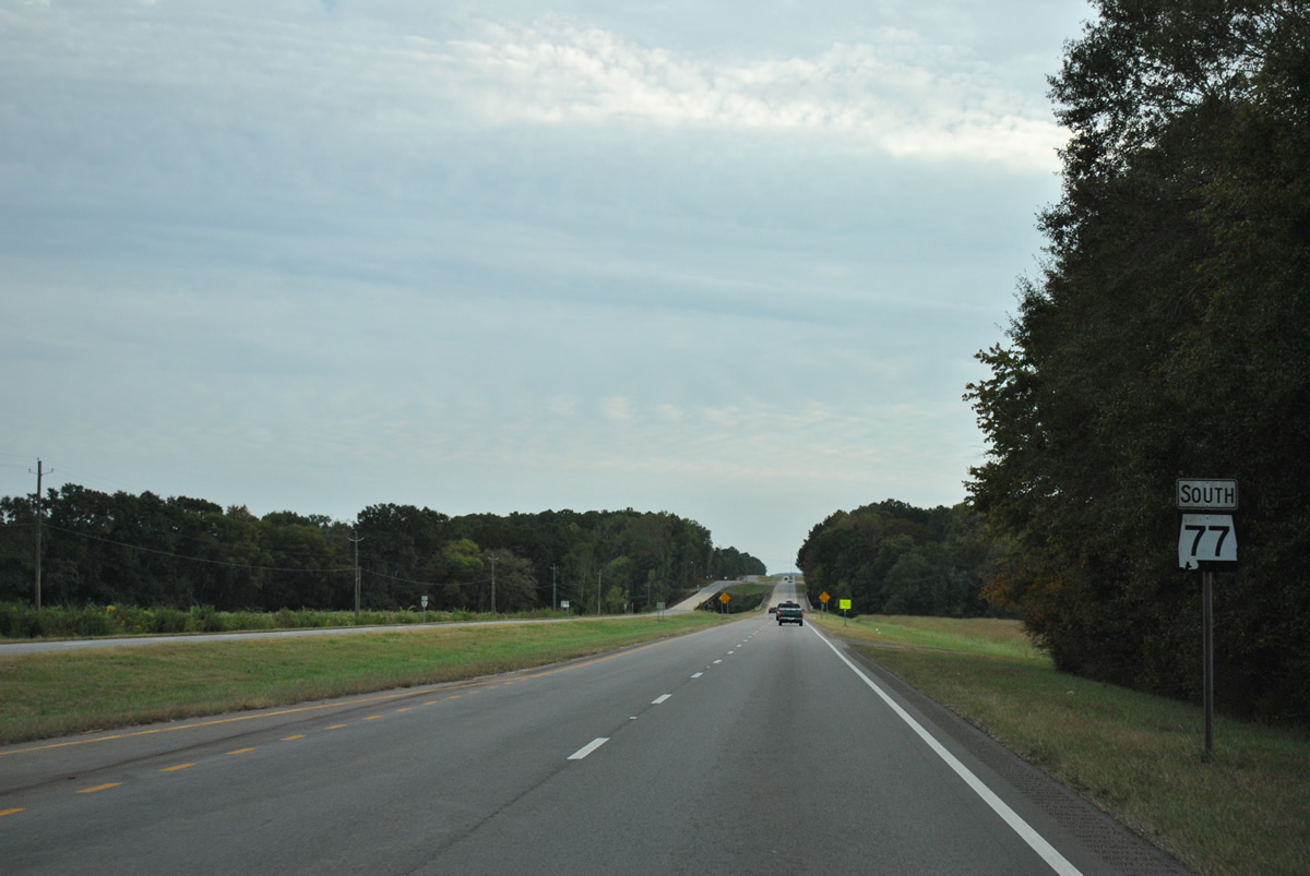
| SR 77 continues south toward Choccolocco Creek at Schmidts Mill. 10/07/12 |
|
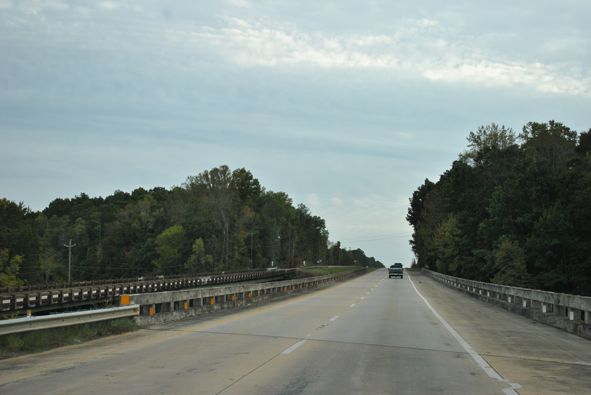
| Spanning Choccolocco Creek, which feeds Logan Martin Lake to the west. The northbound SR 77 span was constructed in 1939; the southbound bridge was added in 1975. 10/07/12 |
|
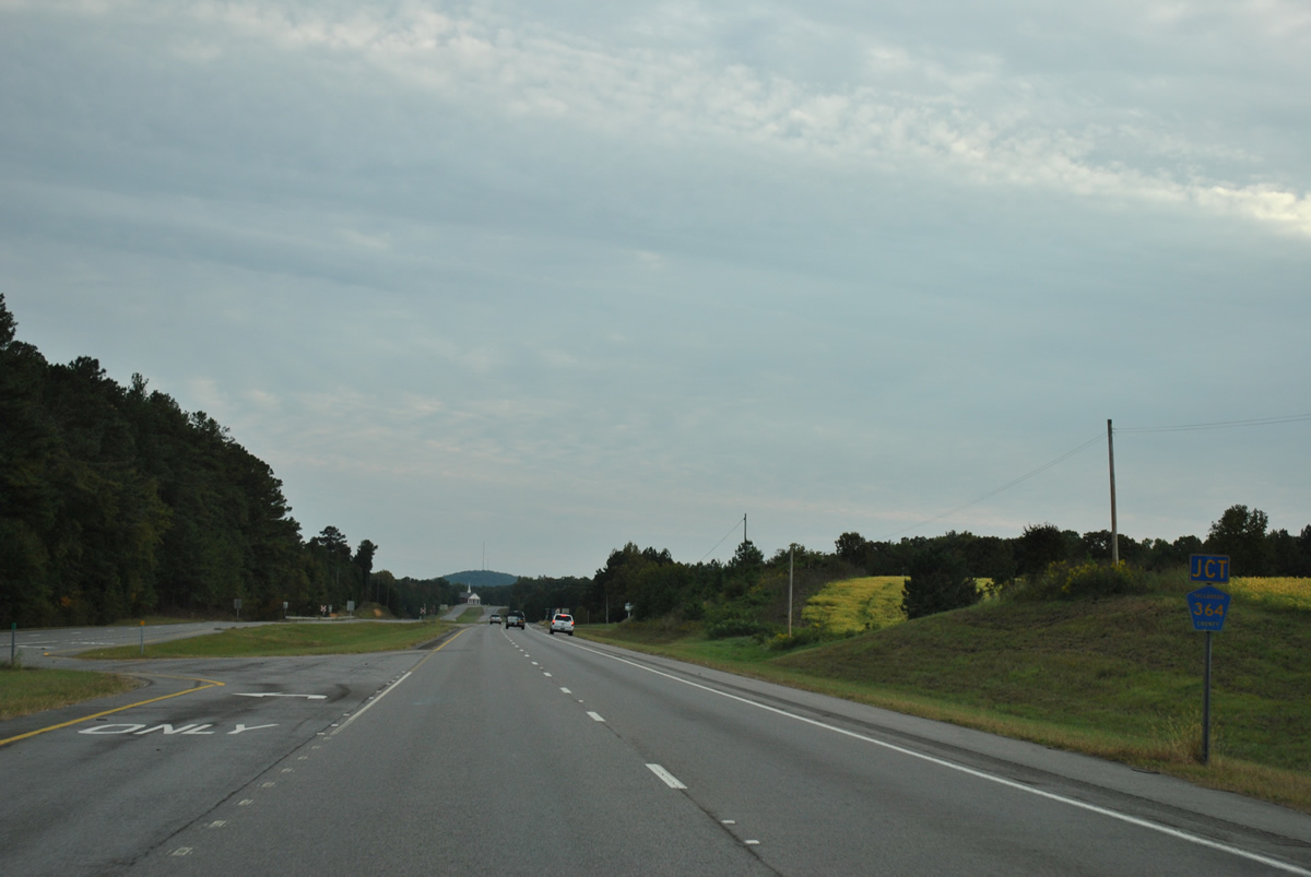
| Old Lincoln Highway branches southwest from SR 77 beyomd Choccolocco Creek. CR 364 (Sycamore Church Road) comprises a 1.1 mile long link between the two roads. 10/07/12 |
|
| CR 364 (Sycamore Church Road) winds northwest from Old Lincoln Highway through southern reaches of the Lincoln city limits to CR 207 near Logan Martin Lake. 10/07/12 |
|
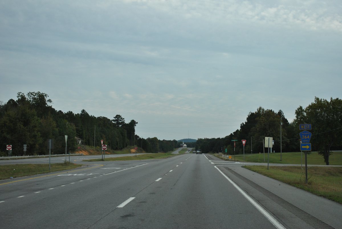
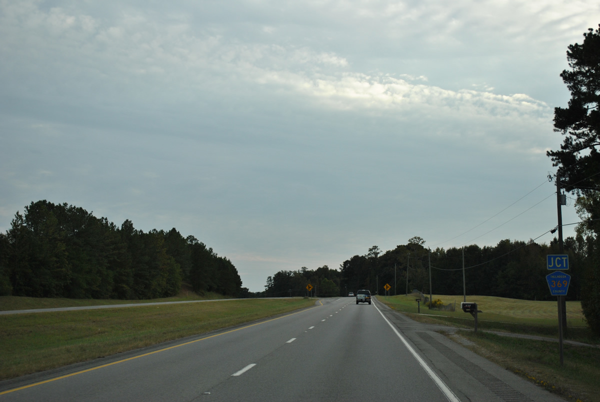
| SR 77 southbound next meets the east end of County Road 369. 10/07/12 |
|
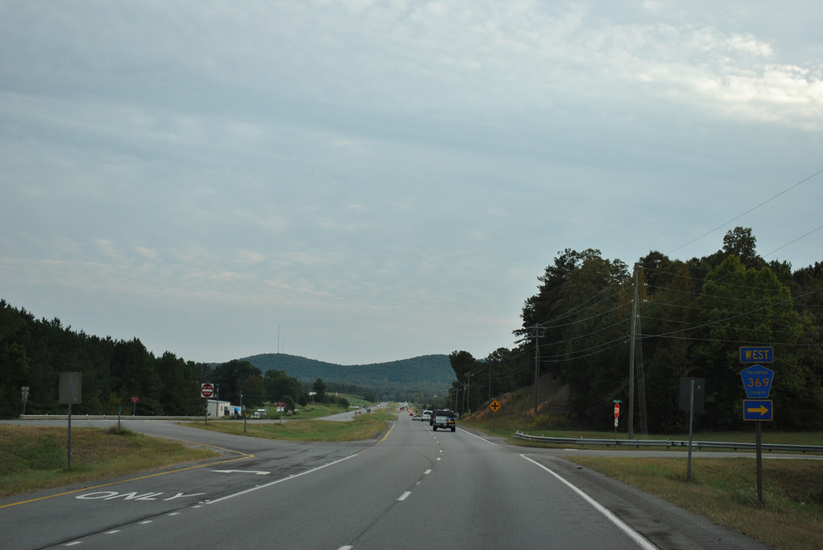
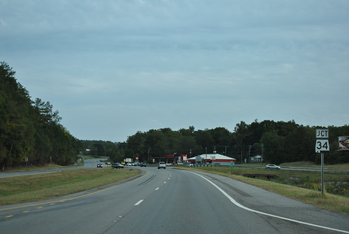
| CR 369 follows Idalia Road one mile and connects SR 77 with SR 34 (Stemley Bridge Road) west to Pell City. 10/07/12 |
|
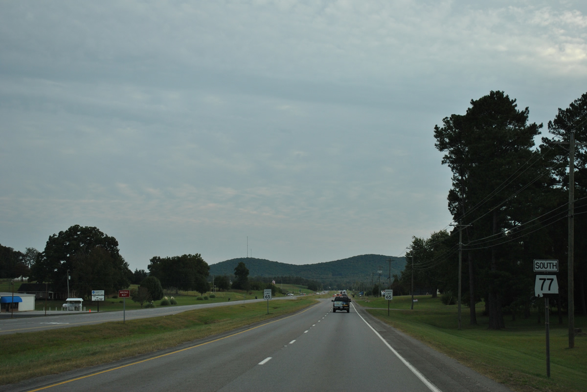
| Lawson Hill in the Sleeping Giants mountains outside Talladega comes into view along SR 77 south of CR 369. 10/07/12 |
|
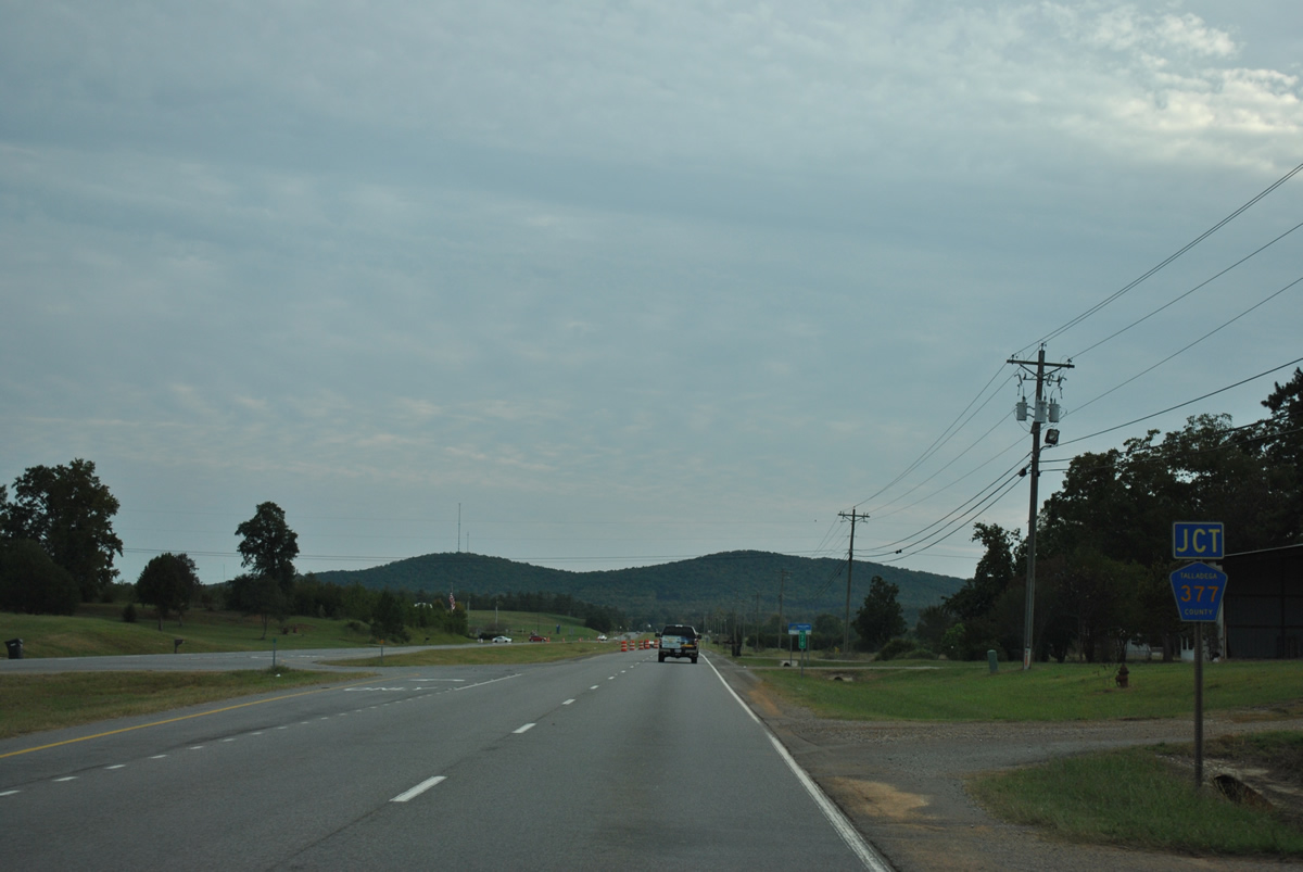
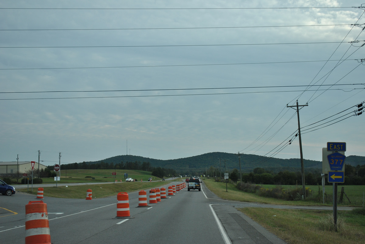
| CR 377 (Providence Road) ties into SR 77 south at Coosa Valley Industrial Park. 10/07/12 |
|
| Providence Road (CR 377) connects SR 77 with both CR 326 (Jackson Trace Road) and CR 005 (Eastaboga Sounty) south from Talladega Superspeedway. 10/07/12 |
|
| SR 77 remains a four lane highway with a 65 mile per hour speed limit from CR 377 to SR 34. 10/07/12 |
|
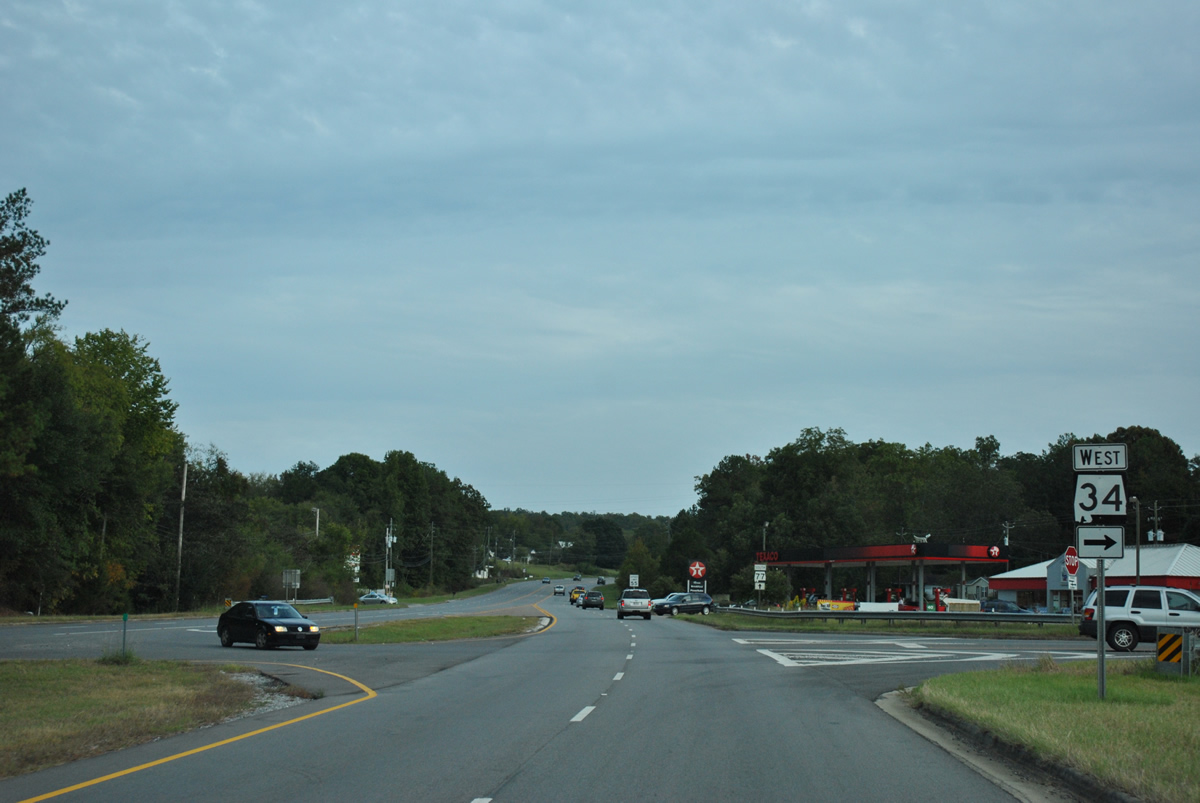
| SR 34 (Stemley Bridge Road) intersects SR 77 just north of Talladega. 10/07/12 |
|
| SR 34 travels 12.97 miles overall between north Talladega and U.S. 231 south of Pell City. 10/07/12 |
|
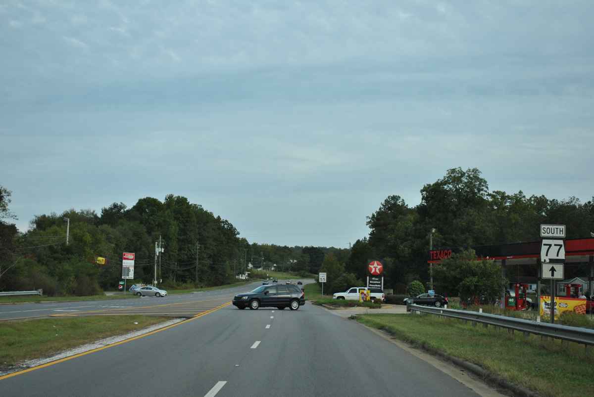
| The speed limit reduces south of SR 34 as SR 77 transitions into a five lane boulevard. 10/07/12 |
|
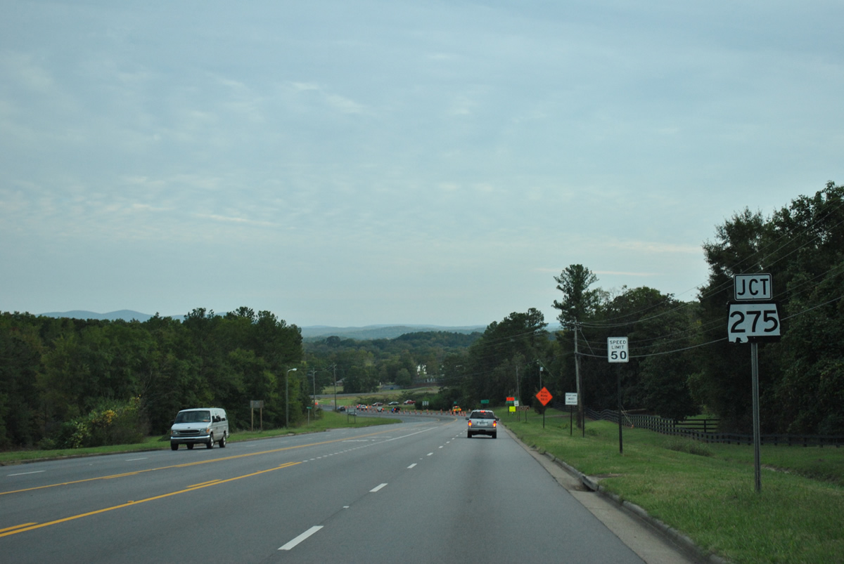
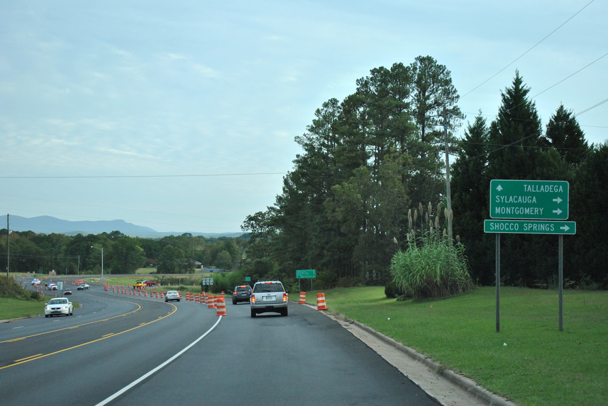
| Lawson Hill rises to the west as SR 77 proceeds to SR 21 in the city of Talladega. Replaced by a realignment of SR 21 in 2019, SR 275 formerly ran 3.50 miles southwest from SR 77 to the previous alignment of SR 21 at Bemiston. 10/07/12 |
|
| SR 275 was a temporary designation along the northern bypass of Talladega for through traffic to Sylacauga and Montgomery via SR 21 and U.S. 231 south. SR 21 also links with Shocco Springs Road west to Shocco Springs. 10/07/12 |
|
| SR 77 formerly continued southeast onto East Street to the Talladega County Courthouse at North and Battle Streets (old SR 21) in Downtown. SR 21 joins Talladega with Curry, Mumford and Oxford to the northeast. 10/07/12 |
|
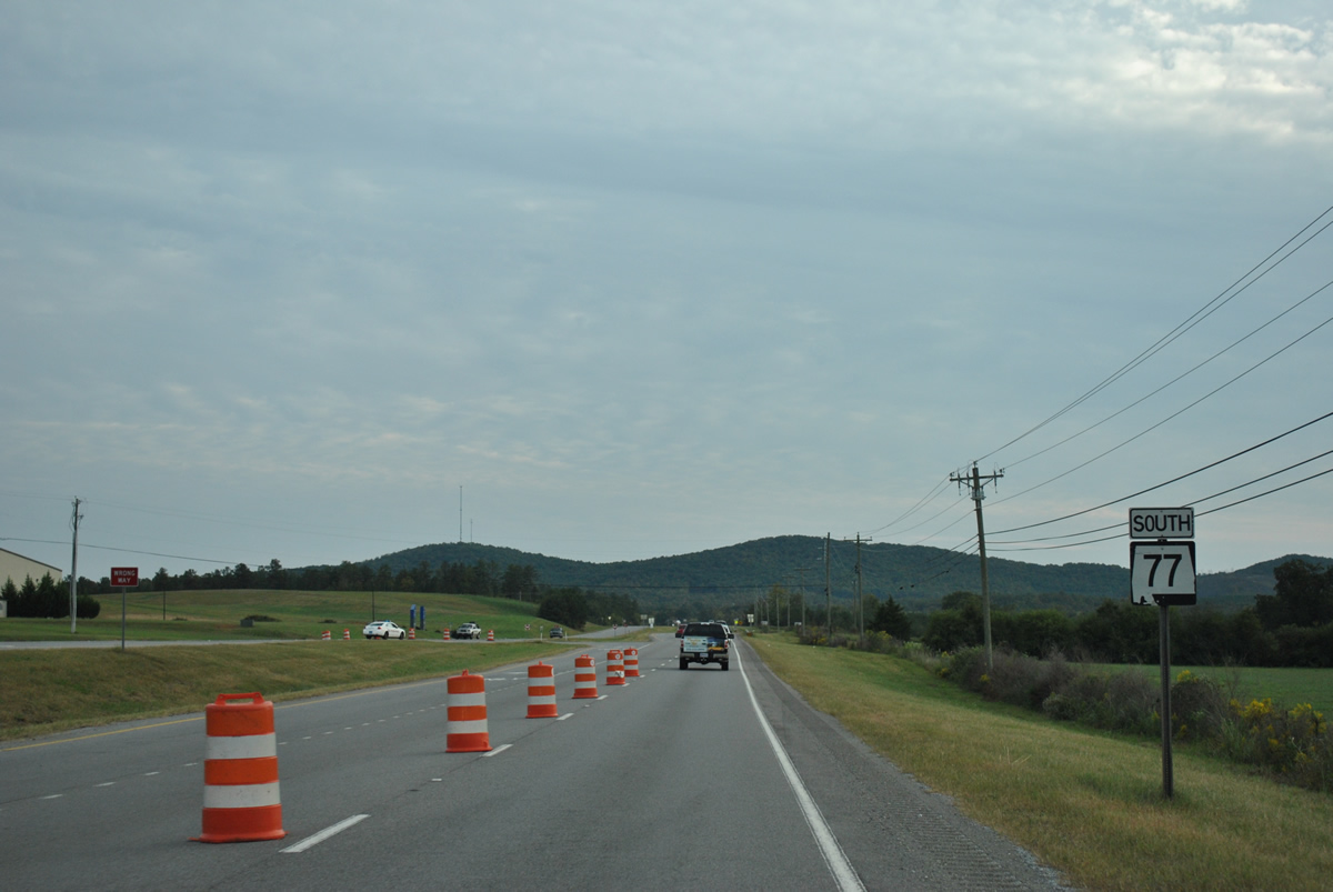
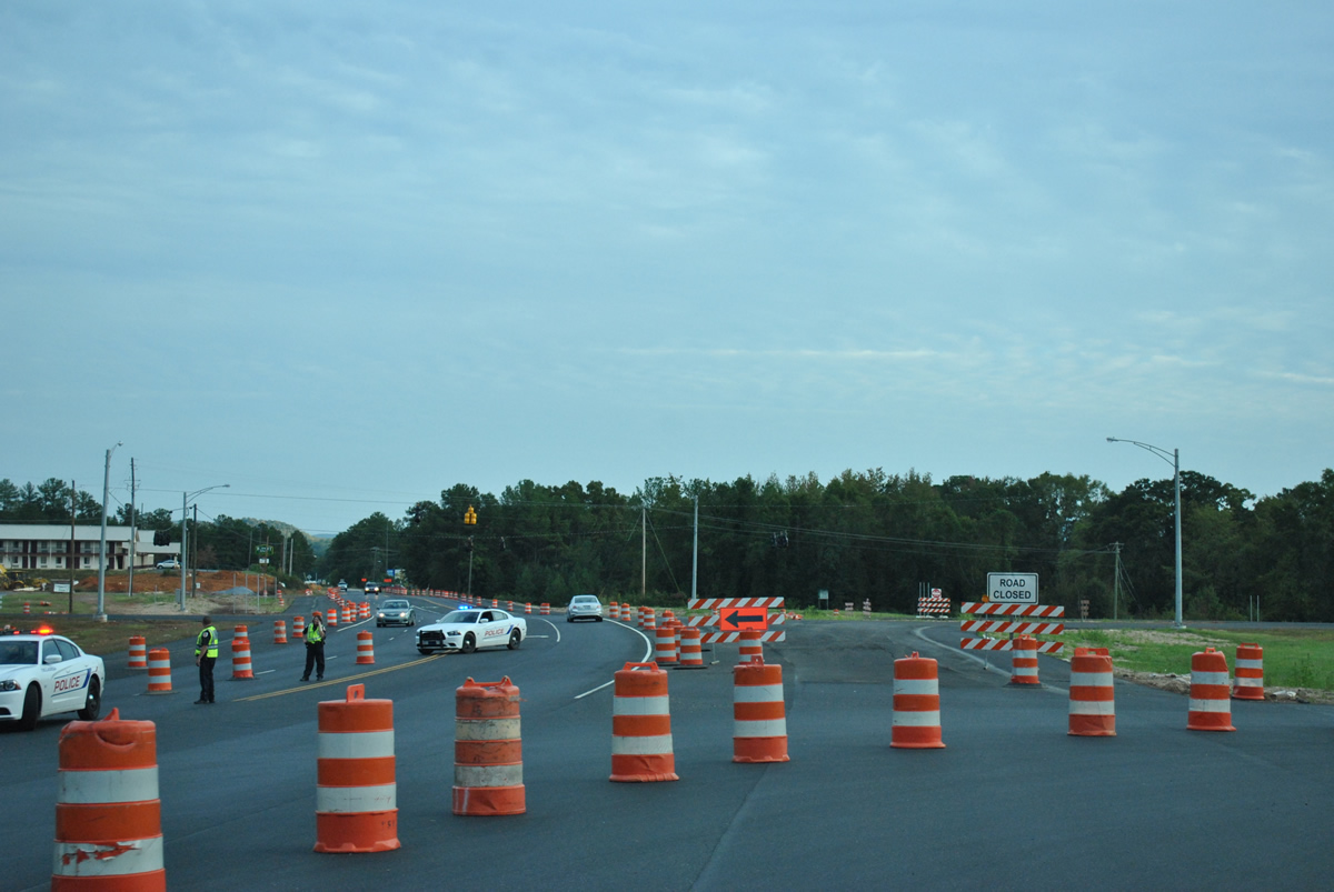
| Traffic cones in place at SR 77 and SR 275 south were used not only for construction of the north Talladega bypass, but also for traffic control after the Good Sam Roadside Assistance 500 at Talladega Superspeedway. Part of realignments for SR 21/77, construction extended the four lane at-grade bypass east to old SR 21 beyond the city limits. Delayed due to funding, the project commenced in May 2006.1 10/07/12 |
|
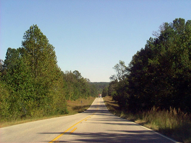
| SR 77 branches east from SR 49 to Cooley Crossroads in southeastern Clay County. SR 77 traverses rolling hills into Randolph County en route to Wadley. 09/29/03 |
|
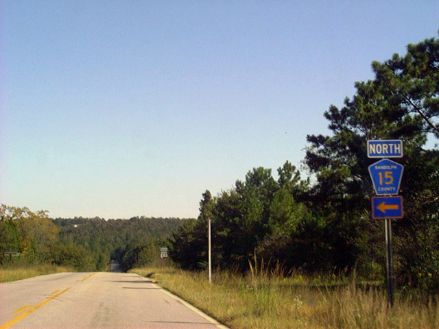
| Randolph County Route 15 stems northeast from SR 77 at Almond. CR 15 connects SR 77 with U.S. 431 in the county seat of Wedowee by way of Malone. 09/29/03 |
|
| Following Highland Avenue, SR 77 navigates through a series of turns into the town of Wadley. This shield assembly appears at Ashland Avenue. 09/29/03 |
|
| SR 77 (Highland Avenue) shifts east at Randolph Street and Wadley High School. 09/29/03 |
|
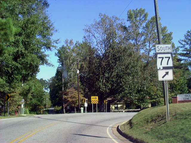
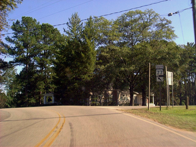
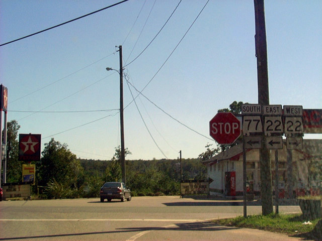
| Turning south from Highland Avenue, SR 77 lines Main Street through the Wadley business district to SR 22 (Lee Street). SR 22 enters Wadley east from New Site and Daviston. 09/29/03 |
|
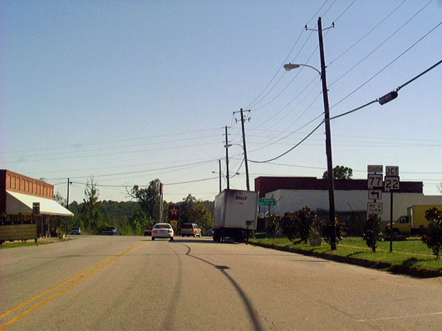
| SR 77 combines with SR 22 east for 1.31 miles. SR 22 continues from the overlap to Roanoke and the state line where it becomes Georgia State Route 34. SR 77 resumes a southerly course 17.66 miles to U.S. 431 at LaFayette. 09/29/03 |
Page Updated 08-04-2022.