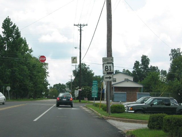
Originating in Downtown Tuskegee, Alabama State Route 81 travels north from U.S. 29/80 in the Macon County seat. Paralleling a CSX Railroad beyond Interstate 85, SR 81 extends north to SR 14 in the town of Notasulga. Overall SR 81 is 10.43 miles in length. Traffic counts recorded by the Alabama Department of Transportation (ALDOT) along SR 81 in 2021 range from 6,271 vehicles per day (vpd) along Macon Street in Tuskegee to 1,658 vpd south of Notasulga.
Within Tuskegee, SR 81 formerly had a signed truck route following Chappie James Drive southeast from Notasulga Road to U.S. 29/80. The bannered route overlapped with U.S. 29/80 (Martin Luther King Highway) southwest to SR 81 at Eastside and Westside Streets.
|
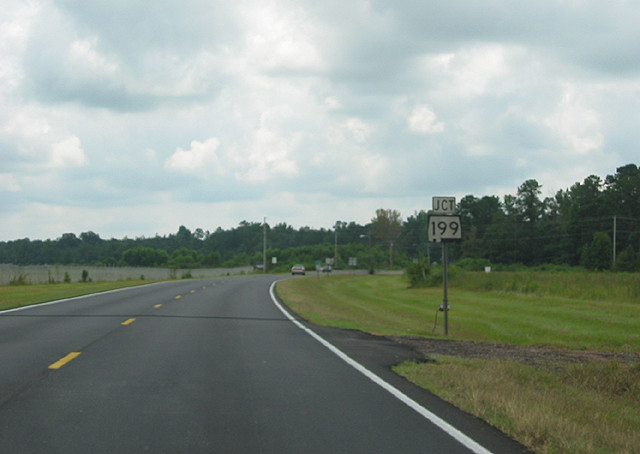
| SR 81 heads 0.64 miles south from a diamond interchange with Interstate 85 to SR 199. SR 199 travels 10.22 miles miles northwest from SR 81 to SR 14 near Golddust. 08/22/03 |
|
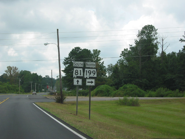
| SR 81 and SR 199 both connect Tuskegee with northern reaches of Macon County and SR 14 between Tallasee and Auburn. 08/22/03 |
|
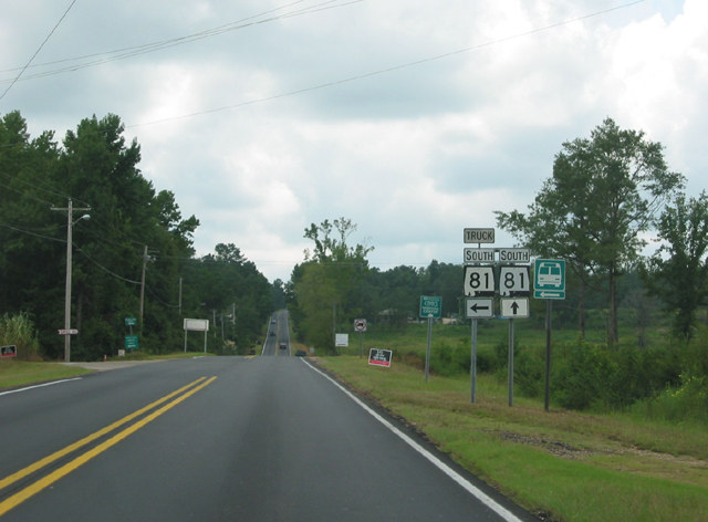
| Chappie James Drive south from SR 81 to U.S. 29/80 was formerly designated SR 81 Truck. 08/22/03 |
|
| SR 81 Truck returned to SR 81 at the south end in the Tuskegee city center via U.S. 29/80 (Martin Luther King Highway) southwest. 08/22/03 |
|
| SR 81 south makes a series of turns through northern Tuskegee. The first takes the route west from Crawford Street onto Wright Street. 08/22/03 |
|
| Within Downtown Tuskegee, SR 81 navigates through a square along Northside and Westside Street to U.S. 29/80 (Martin Luther King Highway). 08/22/03 |
|
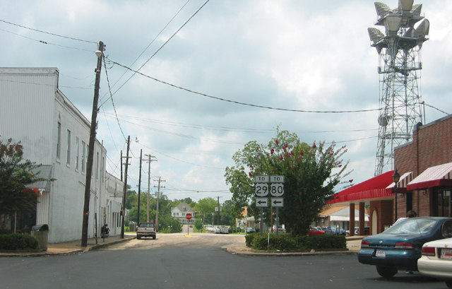
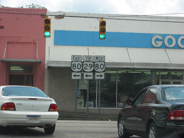
| SR 81 (Westside Street) ends at U.S. 80 a half block west of U.S. 29. U.S. 29/80 overlap 7.4 miles east from Tuskegee to a rural interchange with SR 186. 08/22/03 |
Page Updated 08-04-2022.