Following Lott Road, Alabama State Route 217 spurs northwest from U.S. 45 at Eight Mile in Prichard to north Mobile County. The southern 15 miles of the 26.12 mile long route navigates through older rural residential areas and newer subdivisions west from the city of Prichard to Lott and Millertown. Heading north from Georgetown, SR 217 gains elevation and traverses pine forest to Mobile County Road 21 in a remote area southwest of Citronelle. Lott Road extends northward across the Escatawpa River to County Road 96, which in turn connects with Mississippi Highway 594 west to Leakesville.
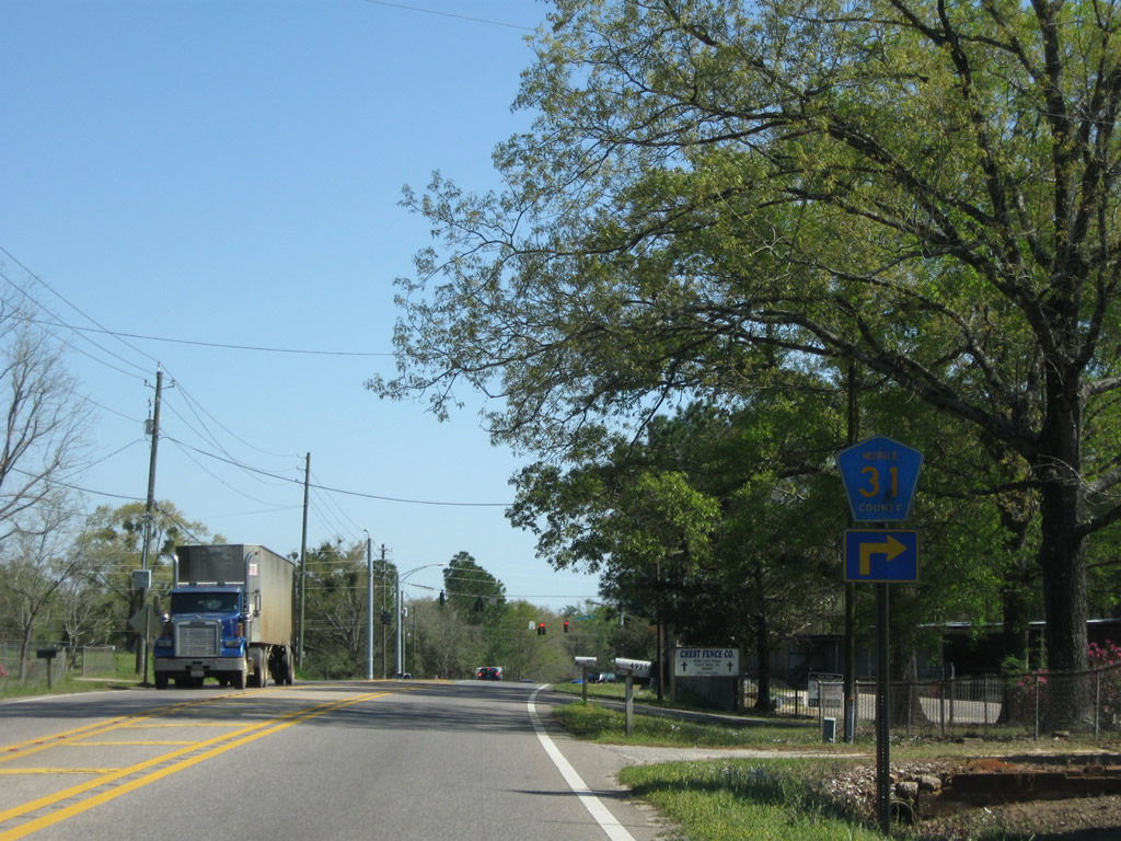
Alabama State Route 217 was originally designated as Mobile County Road 31. Mobile County opened bids for paving of the 2.6 mile dirt road section of Lott Road north from SR 217 and CR 21 (Prine Road) to Brown-Blankinchip Road in September 2011. The successful bidder for the $1.2 million project was John G. Walton Construction, Inc.1
|
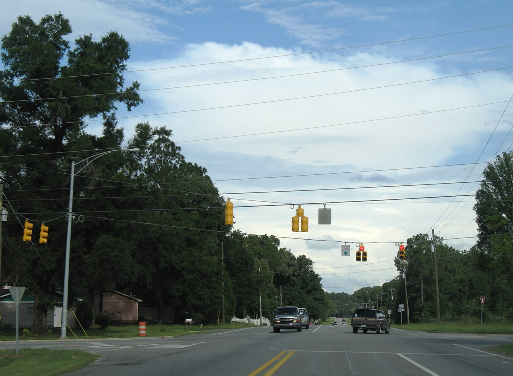
| SR 217 (Lott Road) stems west from U.S. 45 at Eight Mile in Prichard. The ensuing 6.6 miles to Schillinger Road (CR 31) winds b y a series of residential streets, a landfill and several quarries. 11/04/03 |
|
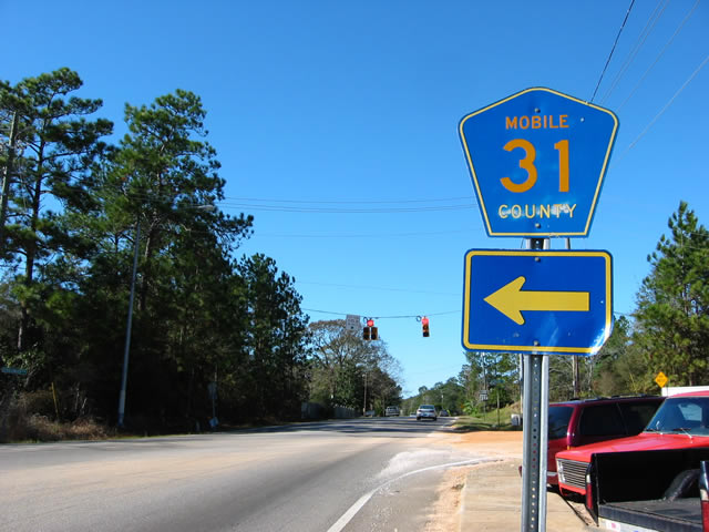
| Mobile County Road 31 shield previously posted on SR 217 (Lott Road) west at Schillinger Road. Schillinger Road was extended north along a five lane boulevard to SR 158 in January 2008. 11/19/03 |
|
| Advancing northwest from Schillinger Road (Mobile County Road 31), SR 217 (Lott Road) reaches the communities of Lott and Millertown in the next three miles. 11/19/03 |
|
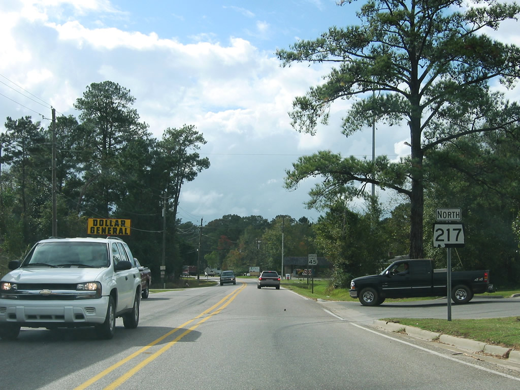
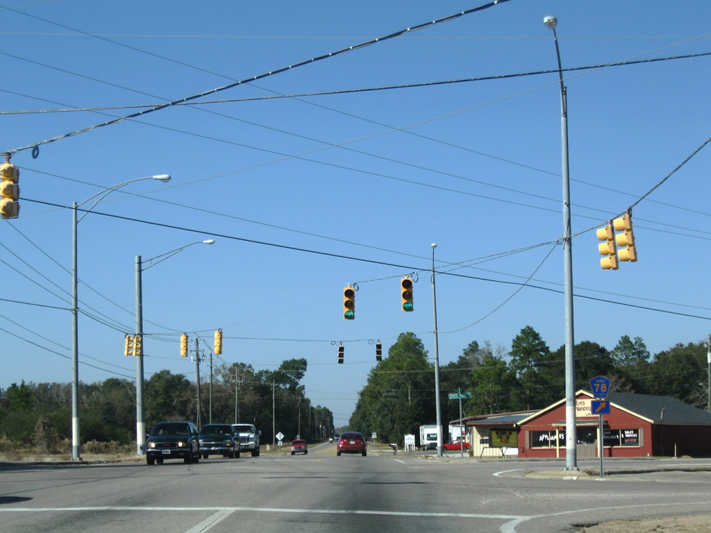
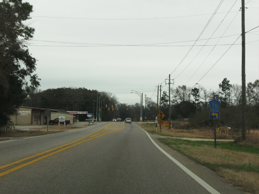
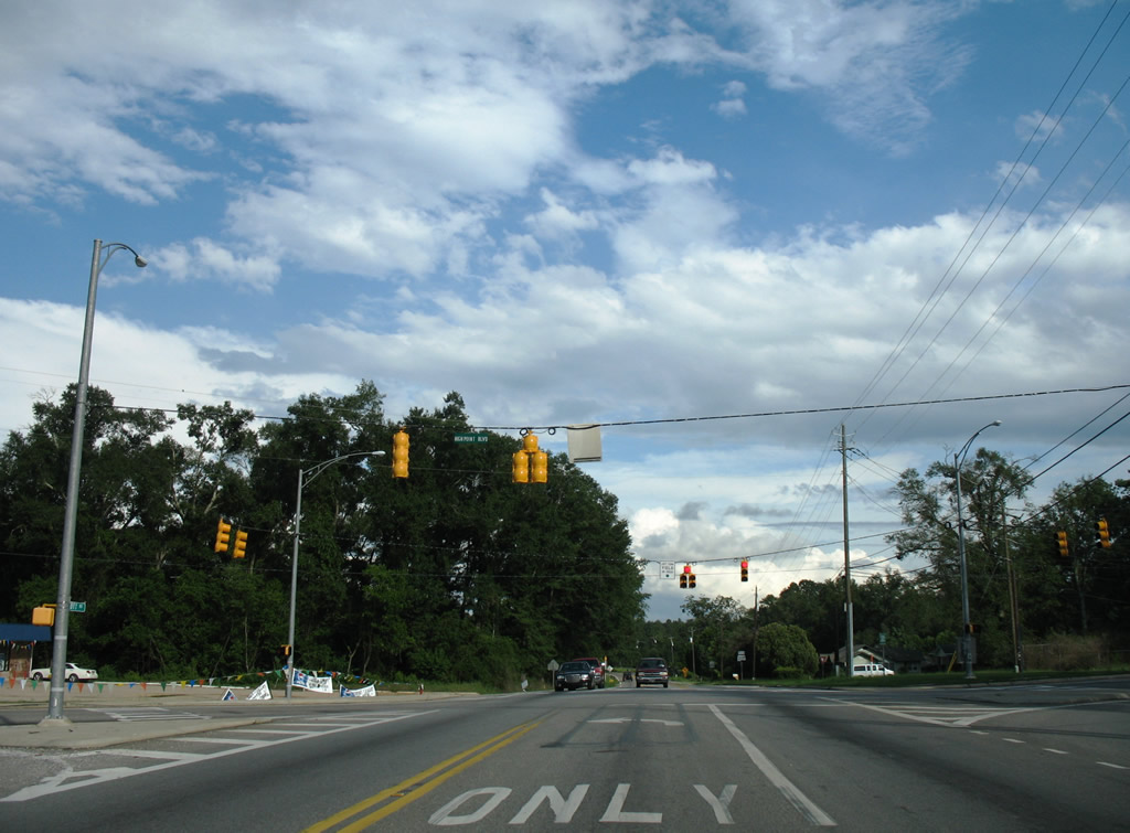
| Approaching the five point intersection with CR 78 (Spice Pond Road), Spice Pond Road Extension, and Sims Road along SR 217 (Lott Road) west near Millertown. 11/22/08 |
|
| Mobile County Road 78 arcs northeastward along Spice Pond Road, linking SR 217 with U.S. 45 at the community of Kushla. Spice Pond Road Extension continues the road west to CR 27 (McCrary Road). 11/22/08 |
|
| SR 217 gradually turns northwest then north from Lott to intersect CR 21 (McCray Road) at Millertown. 11/19/03 |
|
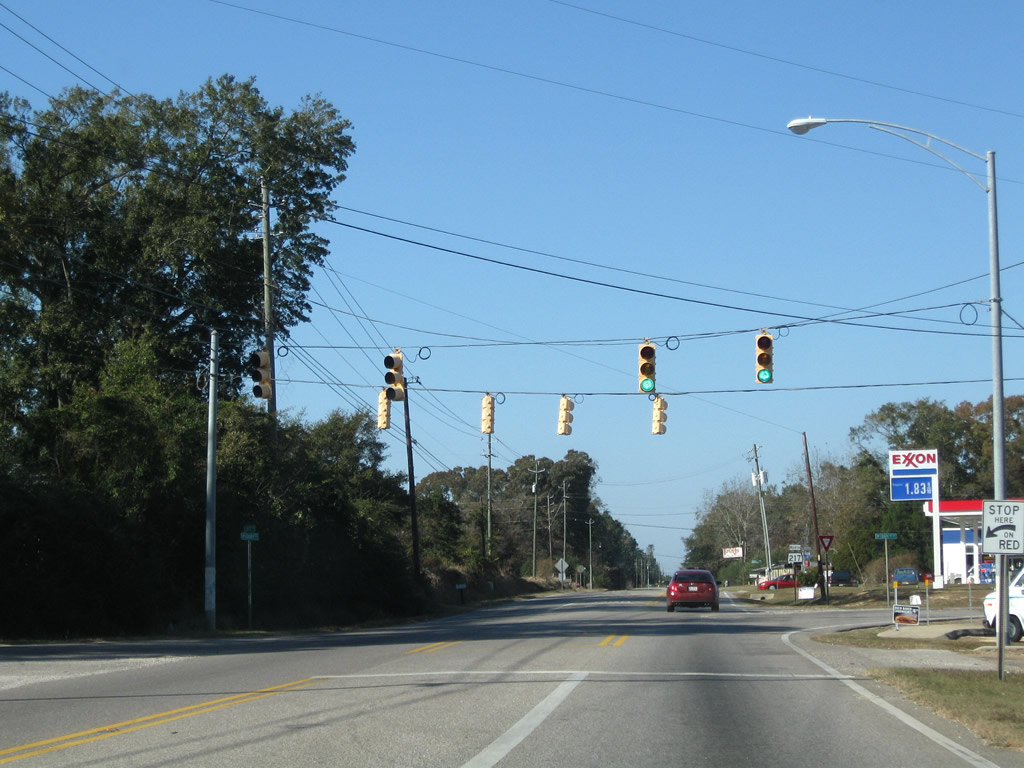
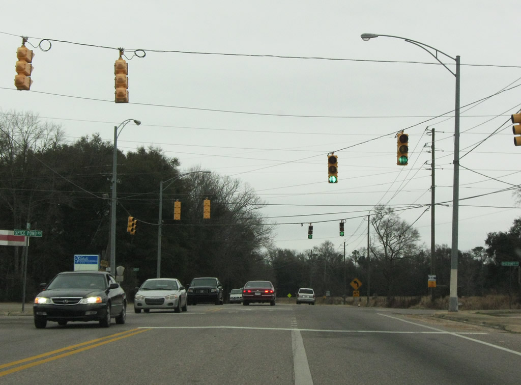
| The last traffic light along SR 217 north operates at Mobile County Road 27. The state route extends another 16.7 miles northward. 11/22/08 |
|
| Progressing northwest from Millertown and Mobile County Road 27 (McCrary Road) on SR 217 (Lott Road). 05/09/09 |
|
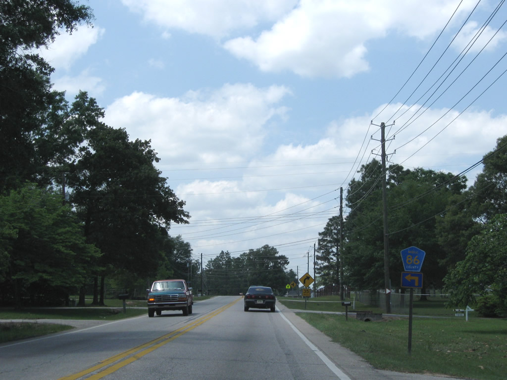
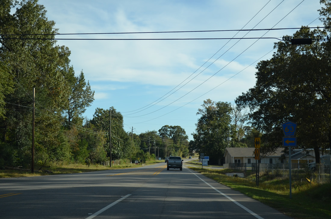
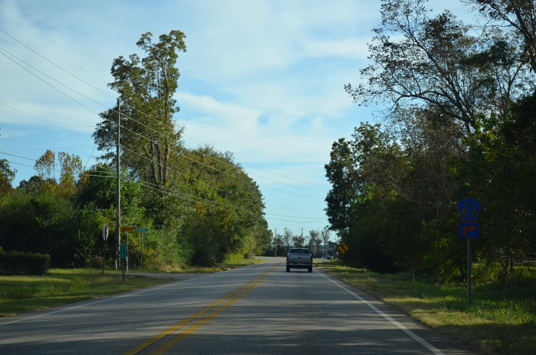
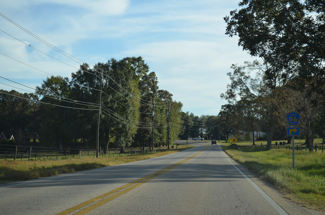
| Mobile County Road 86 (Jack Williams Road) constitutes a 2.4 mile long connector between SR 217 (Lott Road) and CR 63 (Wilmer Georgetown Road). 05/09/09 |
|
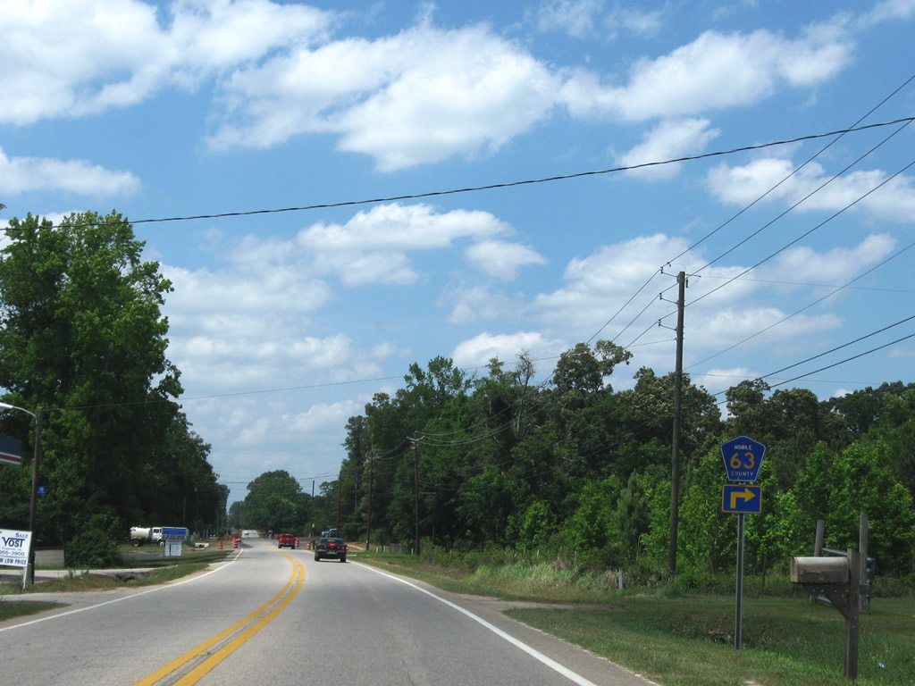
| Mobile County Road 63 follows Wilmer Georgetown Road) north from U.S. 98 (Moffett Road) at Wilmer to SR 217. The two share an implied overlap 0.8 miles northward to Georgetown, where CR 63 follows Chunchula Georgetown Road east 5.1 miles to U.S. 45 at Chunchula. 05/09/09 |
|
| SR 217 continues north from Georgetown through thick pine forests to Mobile County Road 92 (Gulfcrest Road). Gulfcrest Road carries CR 92 east 5.5 miles to U.S. 45 near Gulfcrest. 05/09/09 |
|
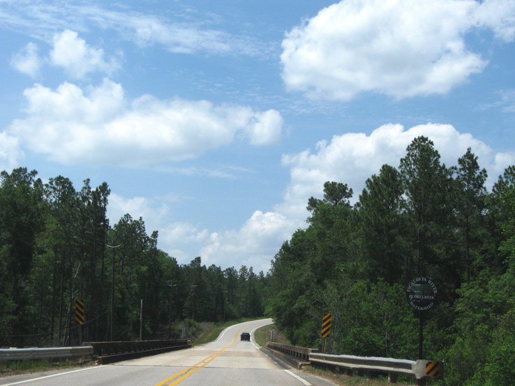
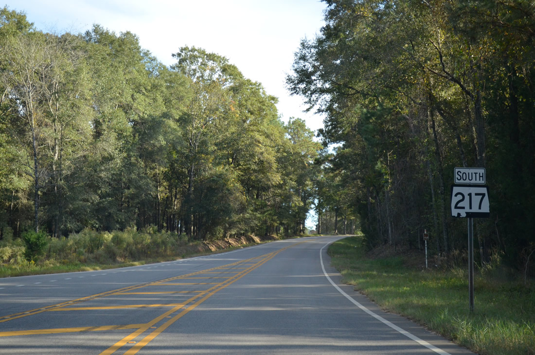
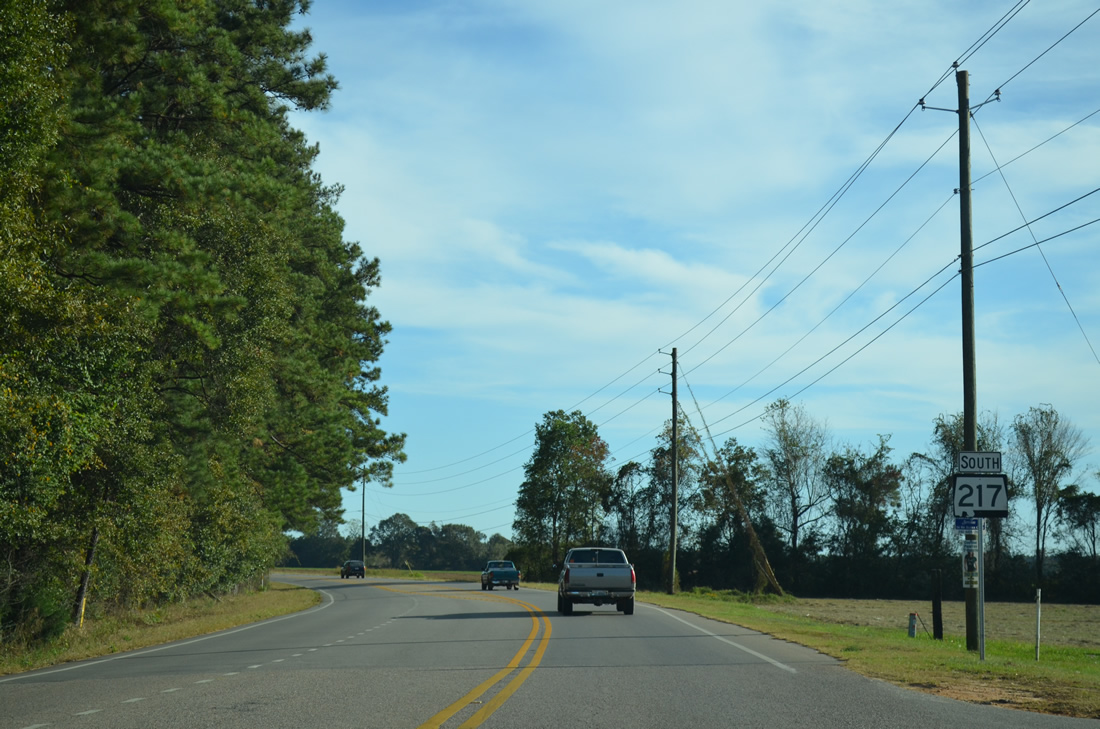
| Crossing Puppy Creek along SR 217 northbound, one mile south of the state route end at CR 21 (Prine Road) 05/09/09 |
|
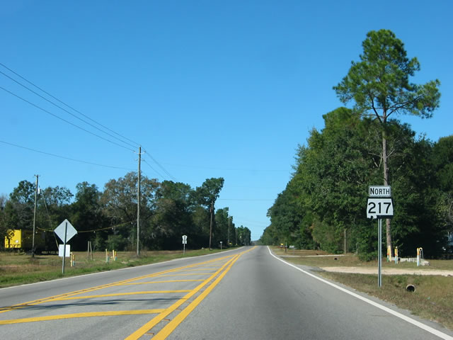
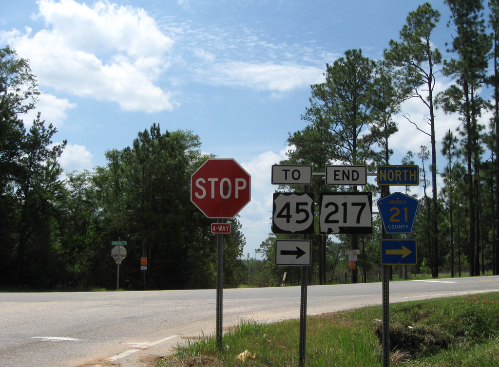
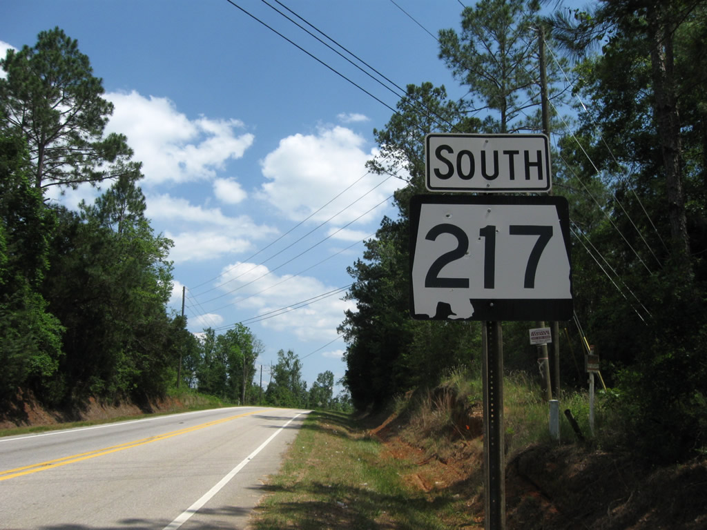
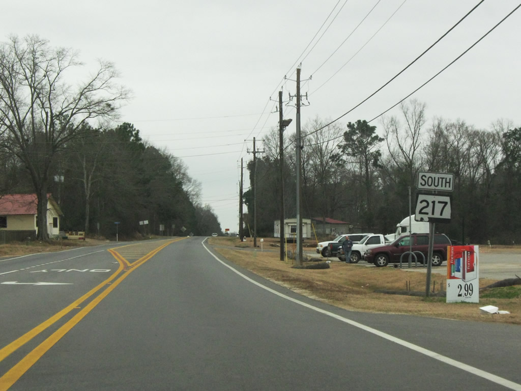
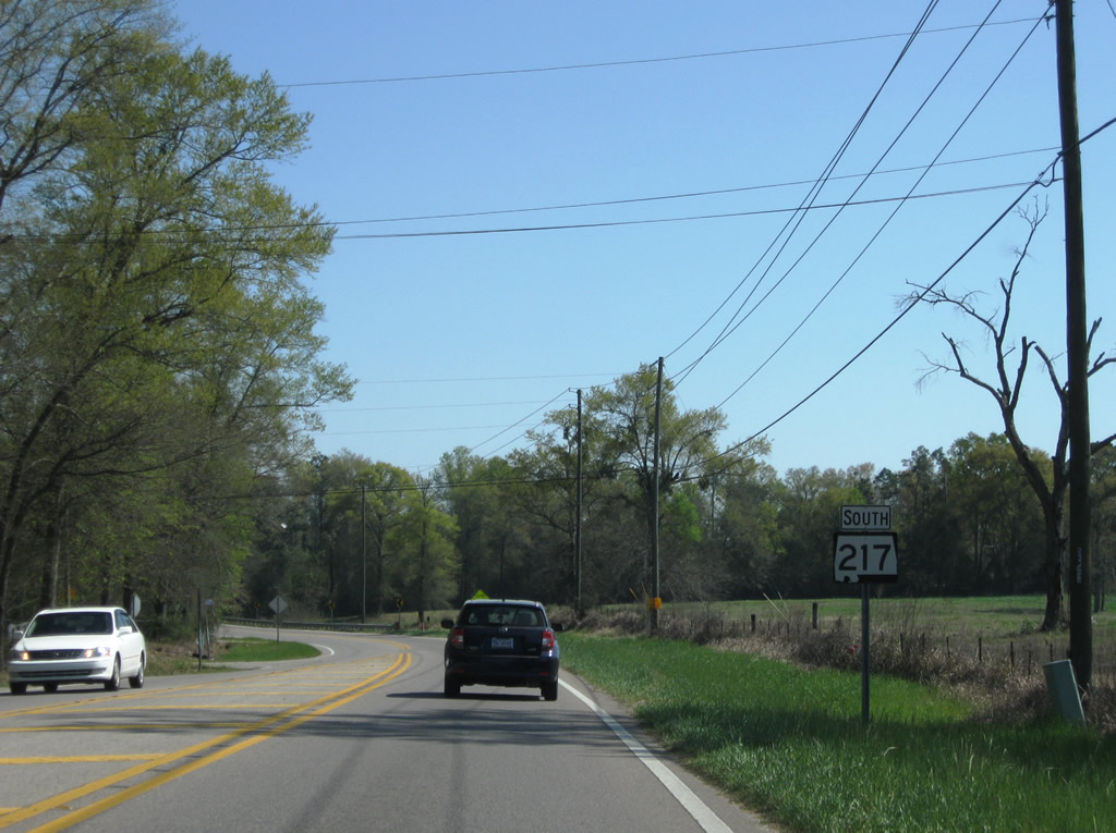
| SR 217 ends at the intersection with Earlville Road south and Mobile County Road 21 (Prine Road) north. Lott Road extends northwest 4.9 miles to Mobile County Road 96 (Beverly Jeffries Highway), 3.1 miles east of its transition into MS 594. 05/09/09 |
|
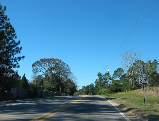
| The first confirming marker for SR 217 stands just south of Mobile County Road 21 (Prine Road) north and Earlville Road south. 05/09/09 |
|
| Reassurance marker posted for SR 217 south of the intersection with Mobile County Road 92 (Gulfcrest Road) east and Boothetown Road south. 10/21/12 |
|
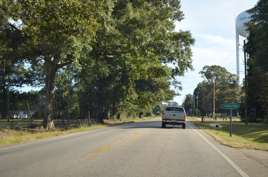
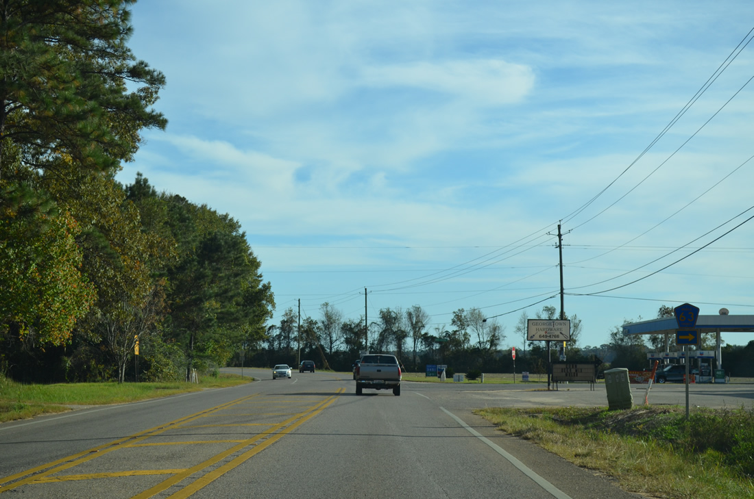
| Alabama State Route 217 enters the community of Georgetown, which includes the northernmost extent of the Mobile area subdivisions. 10/21/12 |
|
| Mobile County Road 63 (Chunchula Georgetown Road) ties into SR 217 south from the east at Georgetown. 10/21/12 |
|
| County Road 63 winds east five miles from SR 217 (Lott Road) to U.S. 45 at Chunchula and from there 7.3 miles northeast along Roberts Road to Mobile County Road 41 (Celeste Road) at Turnerville. 10/21/12 |
|
| SR 217 (Lott Road) continues south from the eastern branch of CR 63 through Georgetown. 10/21/12 |
|
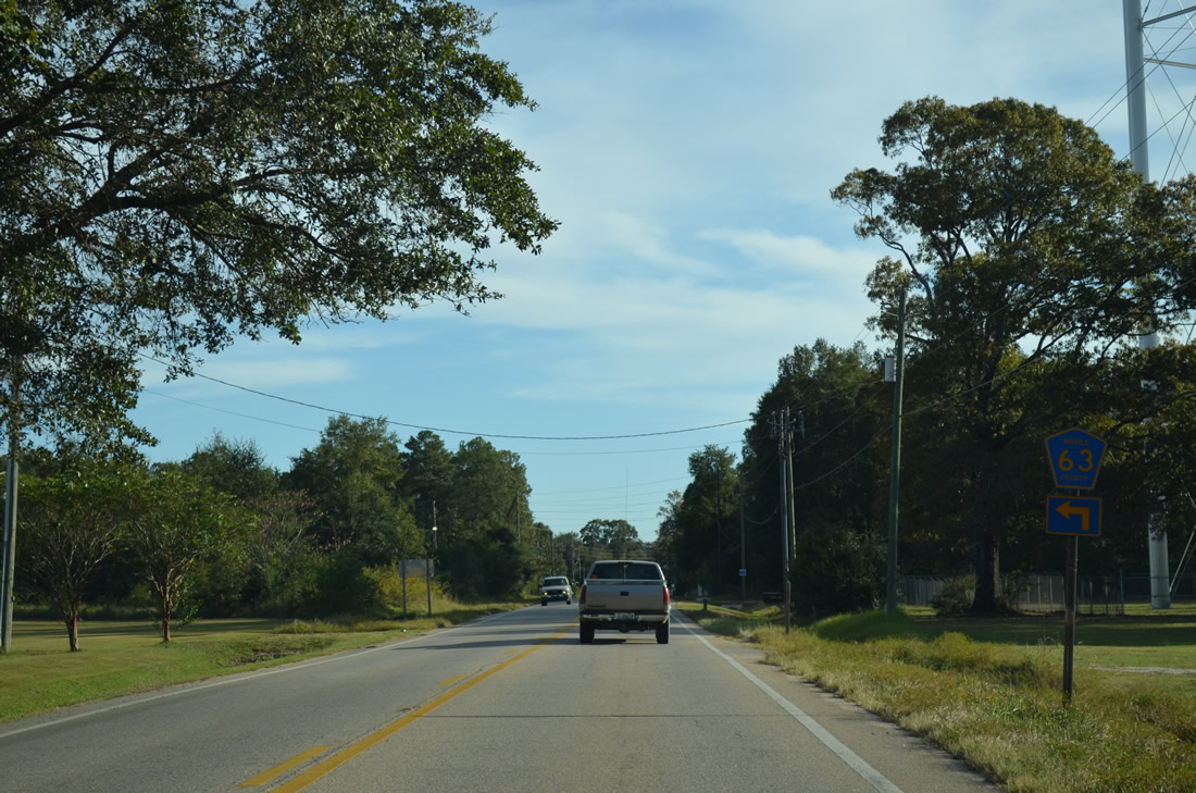
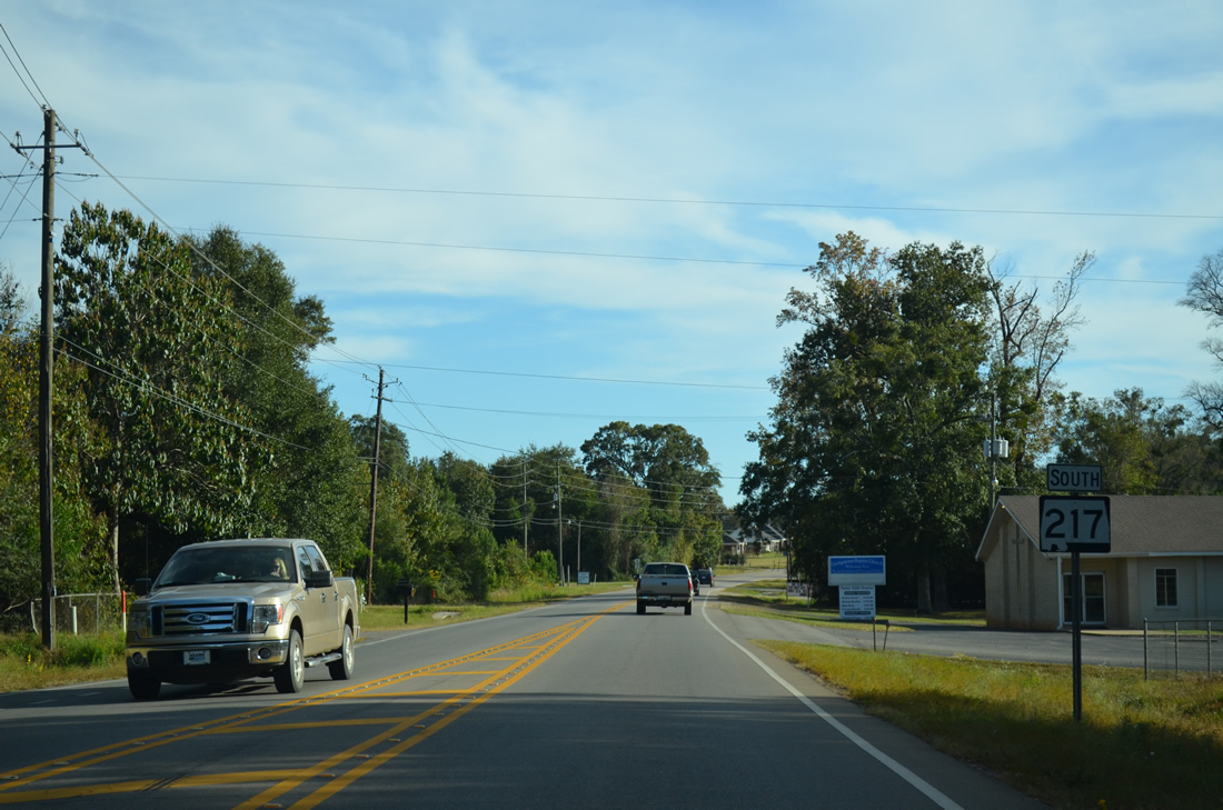
| SR 217 (Lott Road) meets the western branch of CR 63 (Georgetown Wilmer Road), 0.8 mile south of CR 63 east. 10/21/12 |
|
| County Road 63 (Wilmer Georgetown Road) angles southwest 8.1 miles to U.S. 98 at 6th Street in Wilmer. 10/21/12 |
|
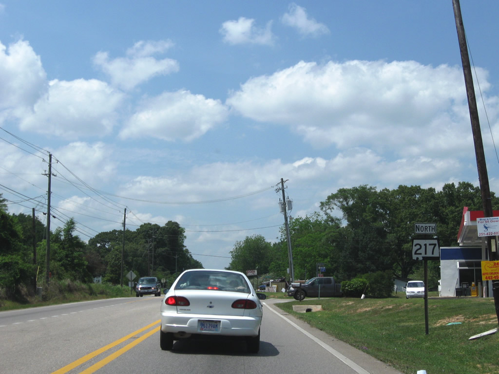
| Leaving Georgetown, SR 217 (Lott Road) pushes southward. 2010 traffic counts increased from 1,980 vehicles per day (vpd) north of Georgetown to 4,690 vpd south of CR 63 west. 10/21/12 |
|
| Mobile County Road 86 (Jack Williams Road) ends at Alabama State Route 217 from the northwest. 10/21/12 |
|
| Jack Williams Road leads northwest 2.4 miles to Mobile County Road 63 (Georgetown Wilmer Road) through rural residential areas. 10/21/12 |
|
| A flasher was added to the intersection with Coleman Dairy Road by 2012. The road adds traffic from area residences onto SR 217, with 2010 traffic counts reflecting an increase to 12,280 vpd south of this intersection. 10/21/12 |
|
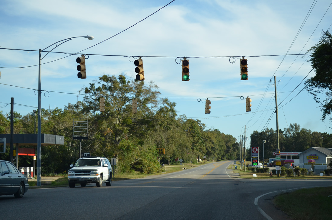
| Louvered signals are used at the intersection of SR 217 (Lott Road) and McCrary Road (CR 27) at the community of Millertown due to the acute angle at which the two roads intersect. CR 27 leads south to the city of Semmes while McCrary Road Extension spurs north to a number of local residential roads. 10/21/12 |
|
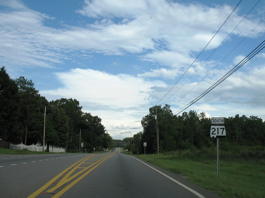
| SR 217 south reassurance marker posted between McCrary Road and Lott. 01/29/10 |
|
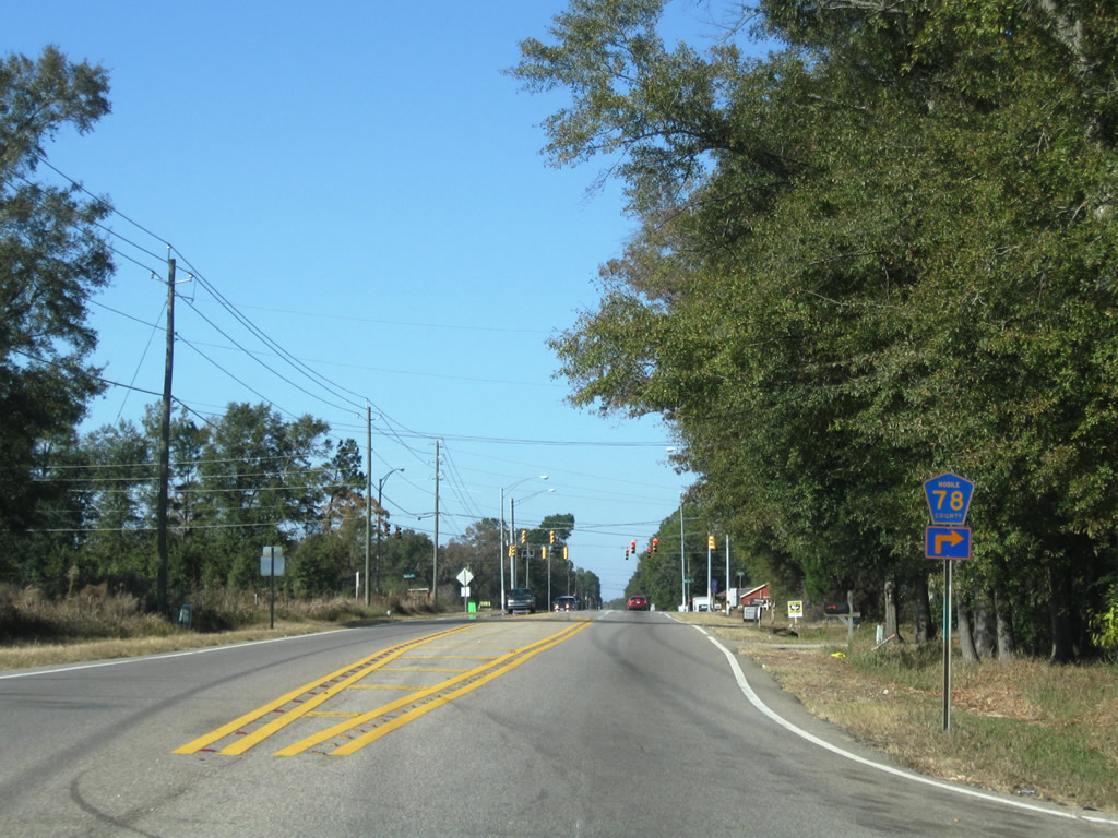
| Mobile County Road 78 arcs eastward along Spice Pond Road from SR 217 (Lott Road) to U.S. 45 near Mauvilla. 01/29/10 |
|
| Spice Pond Road Extension joins SR 217 (Lott Road) and CR 78 (Spice Pond Road) with CR 27 (McCrary Road) one half mile to the west. Sims Road, a residential street, ties in from the east. 01/29/10 |
|
| Bending southeast along SR 217 (Lott Road) after the five-point intersection with CR 78 (Spice Pond Road) east, Spice Pond Road Extension west, and Sims Road east. The new corridor for U.S. 98 crosses Lott Road just south of this location. 03/20/09 |
|
| Approaching Schillinger Road (CR 31) on SR 217 (Lott Road) south. CR 31 follows Schillinger Road south to CR 30 (Theodore Dawes Road). Construction finished in January 2008 replaced Newburn Road with a five lane extension of Schillinger Road north to SR 158. 03/20/09 |
|
| SR 217 southbound shield posted after the signalized intersection with Mobile County Road 31 (Schillinger Road). The speed limit on Lott Road varies between 40 and 50 miles per hour to Eight Mile in Prichard. 11/19/03 |
|
| SR217 (Lott Road) enters the city limits of Prichard at the intersection with Glow Ann Drive north and Jarrett Road south. Jarrett Road provides a through road south to Bear Fork Road along the Mobile city line. 07/16/07 |
|
| A SR 217 reassurance marker stands along Lott Road east of Jarrett Road. 07/16/07 |
|
| Belcase Road opened as a northerly extension of Highpoint Boulevard between SR 217 (Lott Road) and U.S. 45 by 2007. Highpoint Boulevard leads south to Bear Fork Road at University Boulevard on the Mobile city line. 07/16/07 |
|
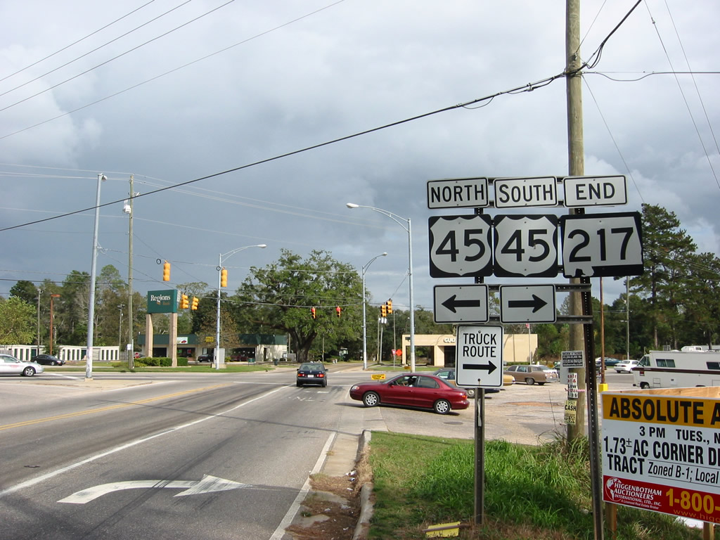
| SR 217 concludes at U.S. 45 at Eight Mile in Prichard. Lott Road continues less than a quarter mile east to SR 213 (Shelton Beach Road). SR 213, a short route from Prichard to Saraland, ends at U.S. 45 nearby. 11/04/03 |
Sources:
- "Mobile County Finishes $25 Million in Road Projects." Mobile County, Alabama news release. September 26, 2011.
11/04/03, 11/19/03, 07/16/07, 11/22/08, 03/20/09, 05/09/09, 01/29/10, 10/21/12 by AARoads
Connect with:
U.S. 45
Page Updated 09-28-2019.