Arizona 71 was established in 1936 between Congress and Aguila. The state road has not changed since it was established.
|
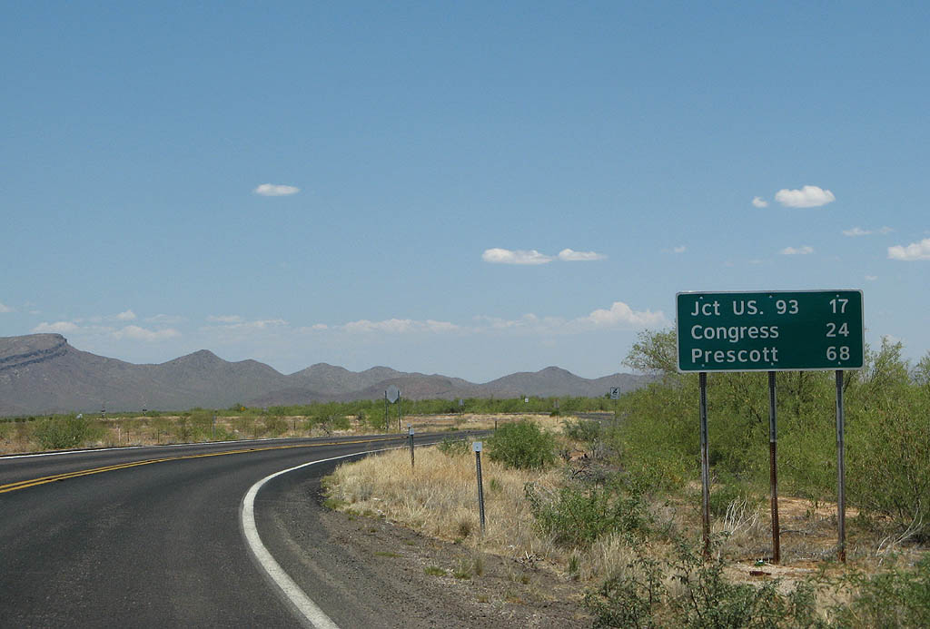
| Distance sign to U.S. 93 (17 miles), Congress
(24 miles) and Prescott (68 miles). This is the
first road sign along SR 71. 06/28/08 |
|
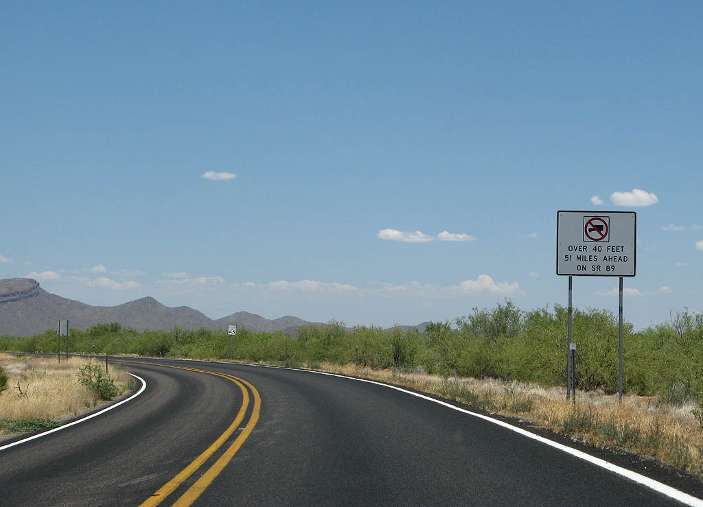
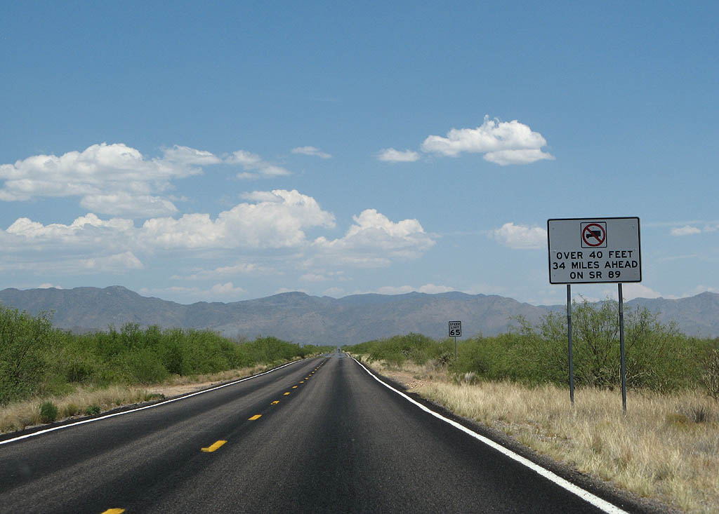
| Trucks over 40 feet are prohibited along Arizona
89 past Congress, due to the curves and grades going
into Prescott. 06/28/08 |
|
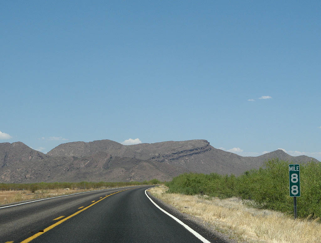
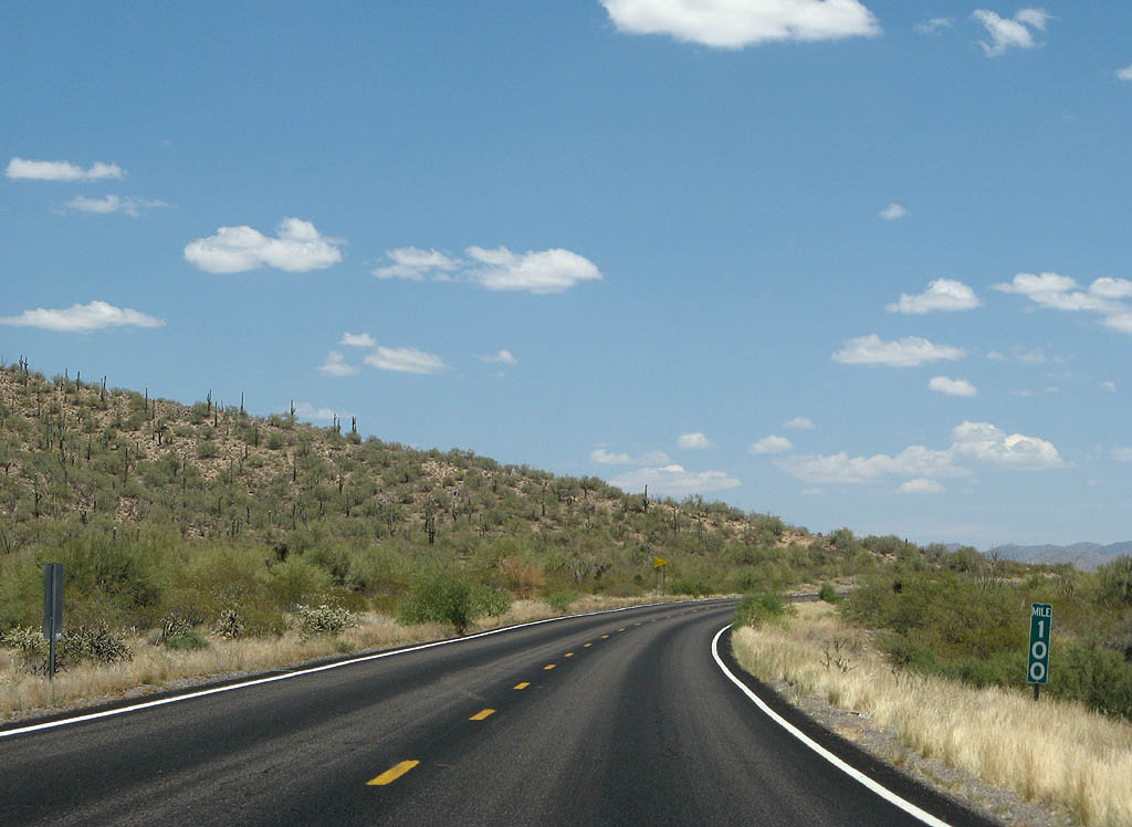
| Merritt Mountain can be seen in the distance. 06/28/08 |
|
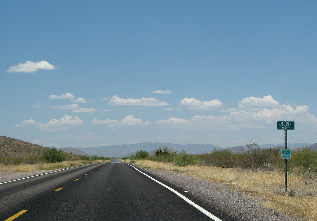
| SR 71 enters Yavapai County here. 06/28/08 |
|
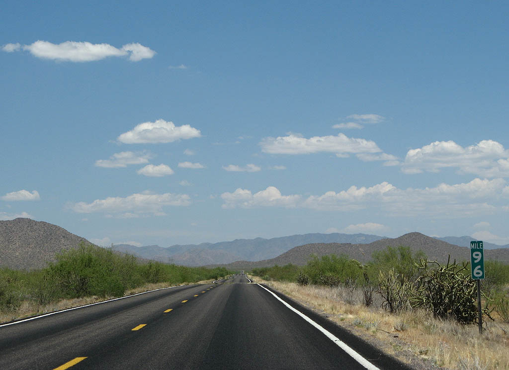
| View from Mile 96 of SR 71. 06/28/08 |
|
| SR 71 passes through Merritt Pass before
reaching U.S. 93. 06/28/08 |
|
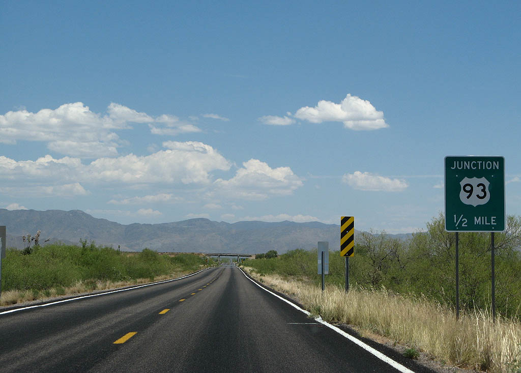
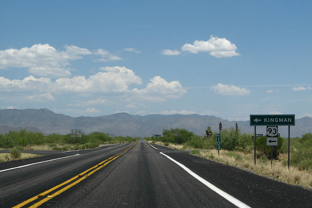
| Advance signage for U.S. 93, 1/2 mile. 06/28/08 |
|
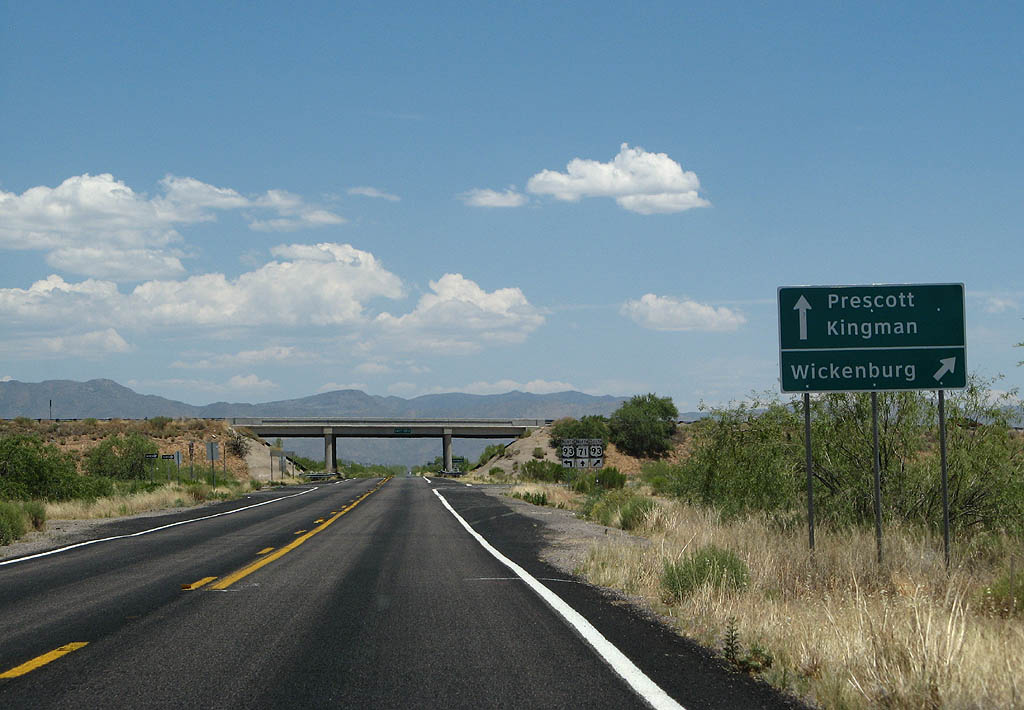
| Continue ahead on SR 71 to Prescott and Kingman,
or exit to U.S. 93 southbound to Wickenburg. 06/28/08 |
|
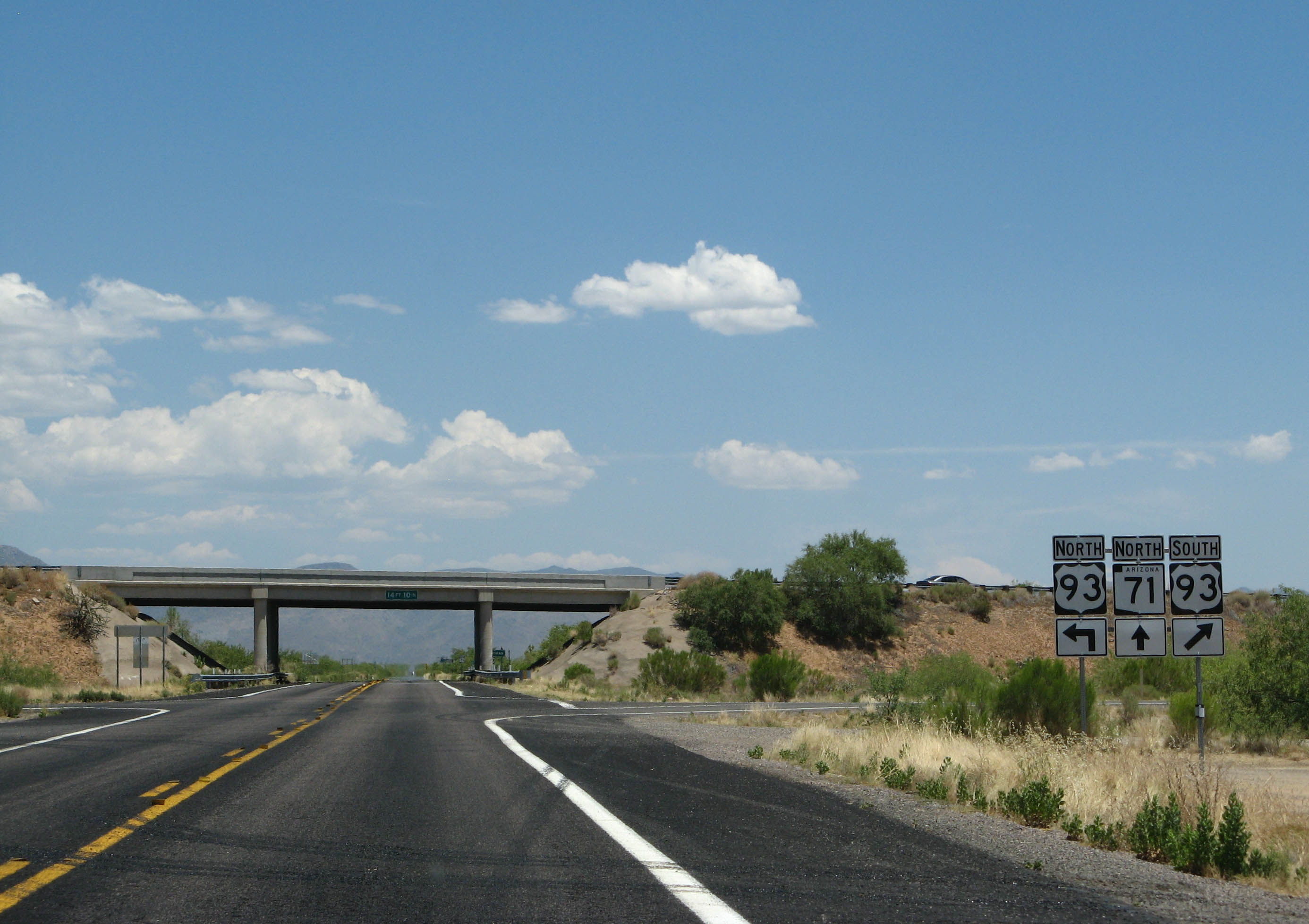
| The U.S. 93 and SR 71 interchange is grade-separated.
Exit for U.S. 93 southbound, or pass under the interchange
for U.S. 93 northbound. 06/28/08 |
|
| Turn left for U.S. 93 northbound to Kingman. 06/28/08 |
|
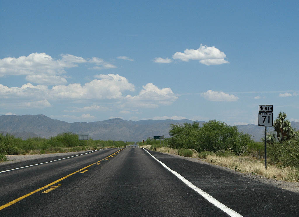
| Reassurance marker for SR 71 northbound. 06/28/08 |
|
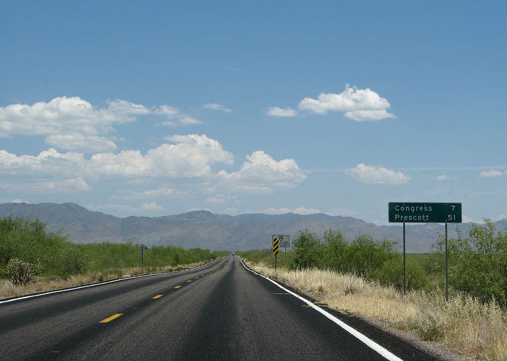
| Distance sign to Congress (7 miles) and Prescott
(51 miles). 06/28/08 |
|
| This sign reminds motorists that vehicles longer
than 40 feet are not allowed on SR 89. 06/28/08 |
|
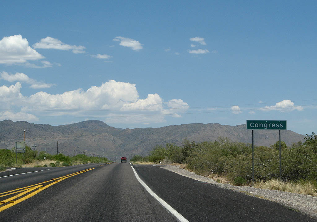
| SR 71 enters the town of Congress here. 06/28/08 |
|
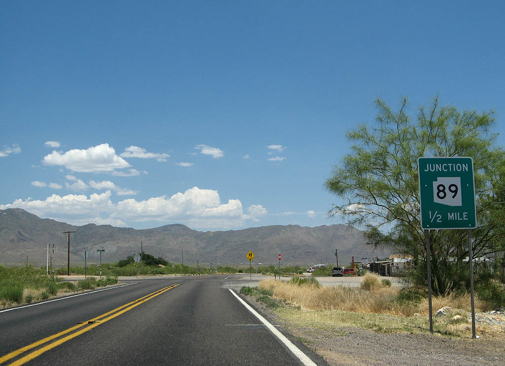
| Advance signage for SR 89, 1/2 mile. 06/28/08 |
|
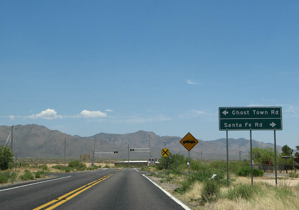
| Turn left for Ghost Town Road, or turn right for
Santa Fe Road. 06/28/08 |
|
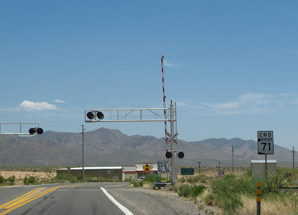
| SR 71 ends at SR 89. 06/28/08 |
|
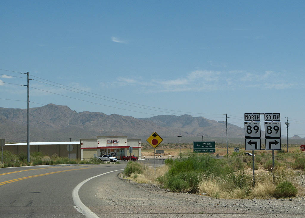
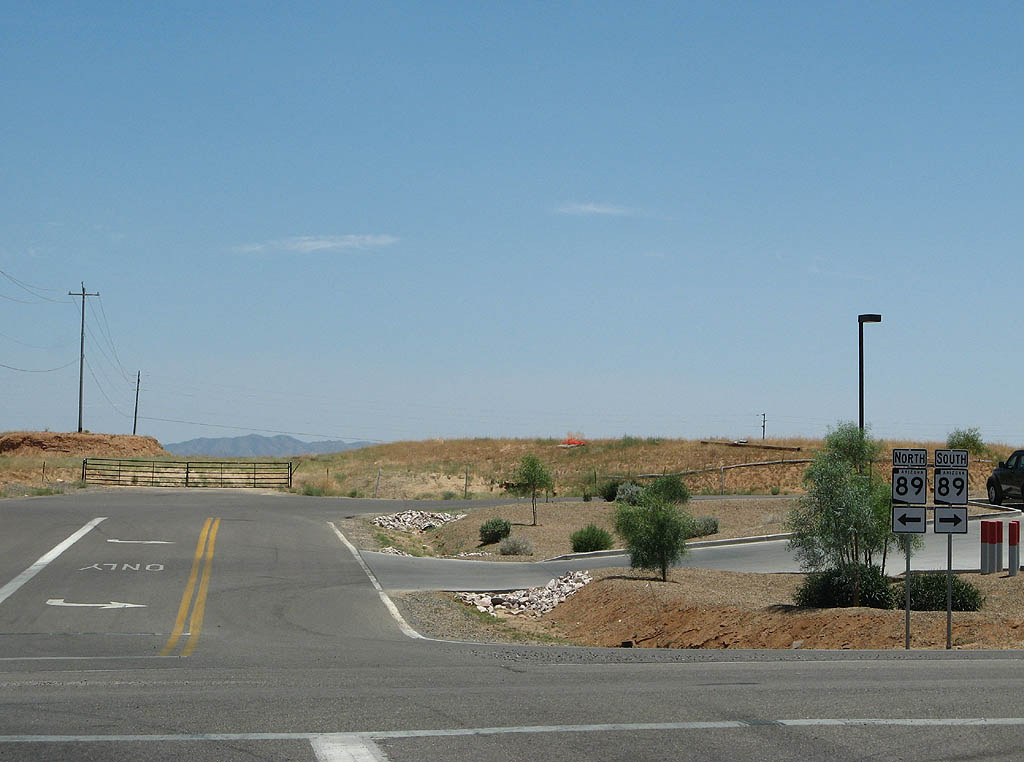
| Turn left for SR 89 northbound to Prescott, or turn right for SR 89 southbound to U.S. 93 and Wickenburg. 03/03/07 |
|
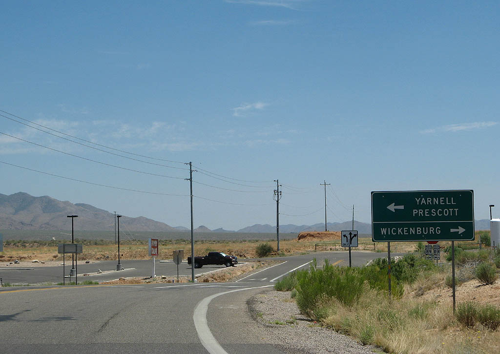
| Turn left for Prescott and Yarnell, or turn right for Wickenburg. 06/28/08 |
Page Updated 02-19-2009.