Arizona State Route 74 travels between Interstate 17 and U.S. 60, passing Lake Pleasant and New Waddell Dam between the two. It is the primary access route to Lake Pleasant, a reservoir for Phoenix, as well as a quick access between the two arterials.
SR 74 was added to the state highway system in 1964, but not completed until 1975. Until the late 1990s, the eastern section was considered temporary, but has since been made permanent.
Originally, the route number (74) was assigned to U.S. 60 between Ehrenberg (the Colorado River) and Wickenburg. This route was designated as SR 74 between 1927 and 1931, when it was merged into the realigned U.S. 60.
|
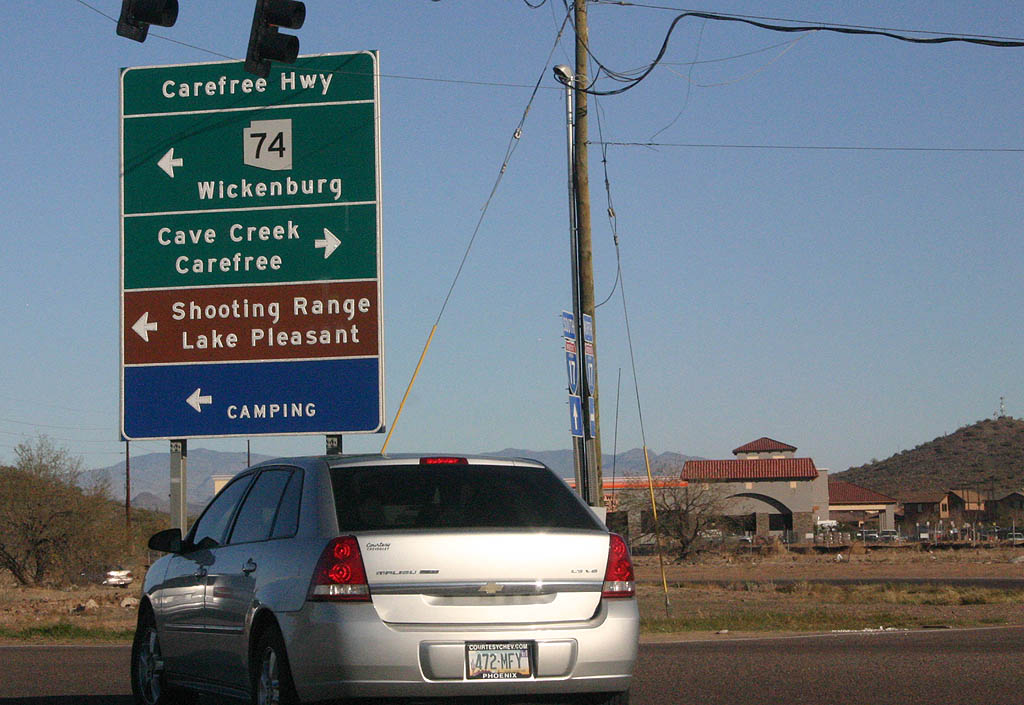
| SR 74 west begins along Carefree Highway from a six-ramp parclo interchange with Interstate 17 in north Phoenix. 03/03/07 |
|
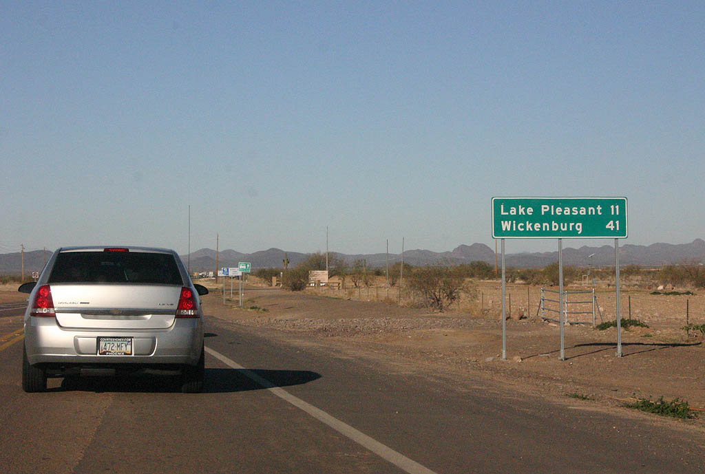
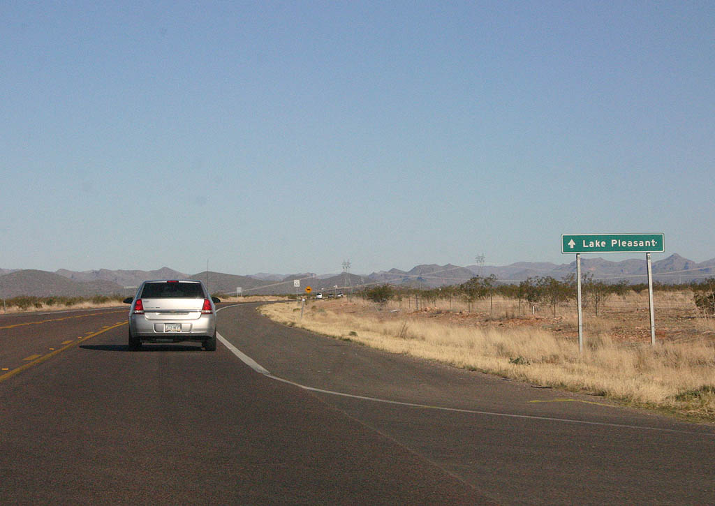
| Distance sign to Lake Pleasant and Wickenburg. 03/03/07 |
|
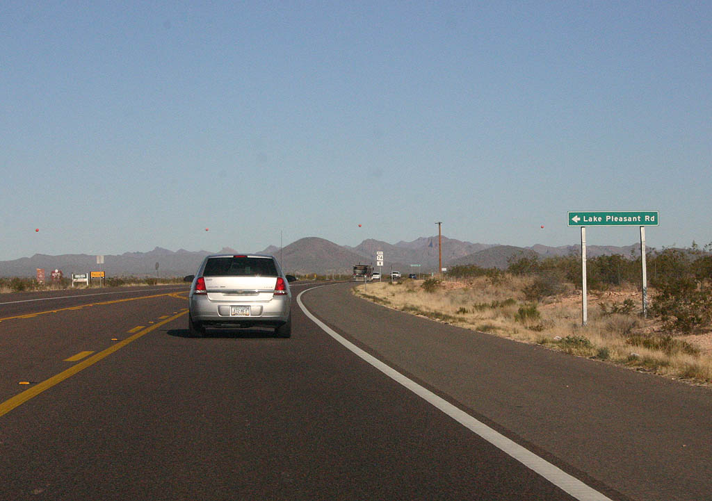
| SR 74 meets Lake Pleasant Road here. This road
does not go to Lake Pleasant, but rather heads south to
Phoenix. 03/03/07 |
|
| This SR 74 shield is a legacy of the original routing
of SR 74. Before 1998, thru traffic on SR 74
had to turn right to continue on the road. 03/03/07 |
|
| The original T-intersection was reconstructed to add
a turn in the road so through traffic did not have to
stop and turn This sign advises traffic to continue on
SR 74 to reach Lake Pleasant. 03/03/07 |
|
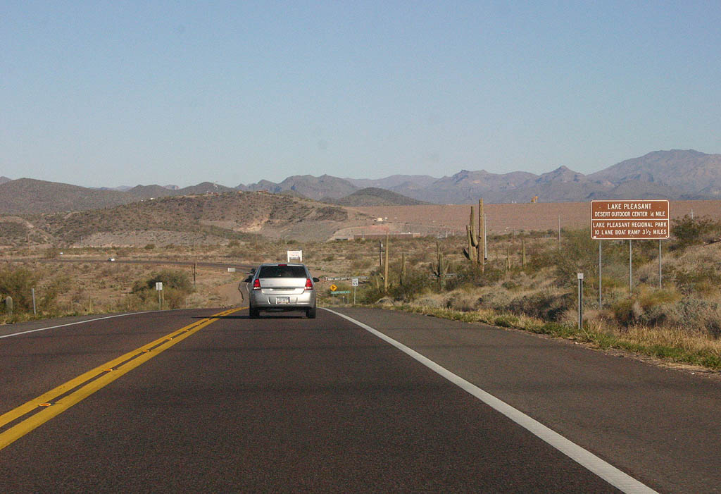
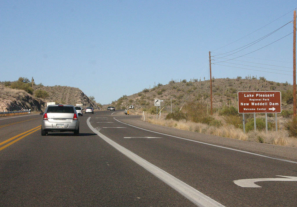
| Distance sign to the Lake Pleasant Outdoor Center and
boat ramp. In the background on the right side of the
picture is New Waddell Dam, which was constructed in 1992
to increase storage capacity on the lake. 03/03/07 |
|
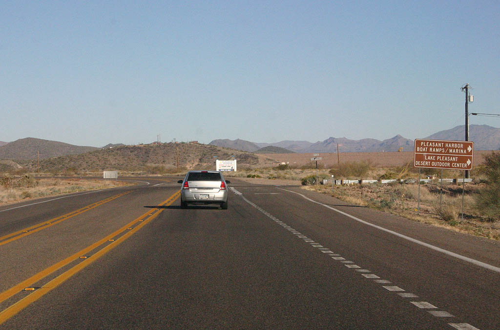
| Turn right to reach Pleasant Harbor and the Lake Pleasant
Outdoor Center. 03/03/07 |
|
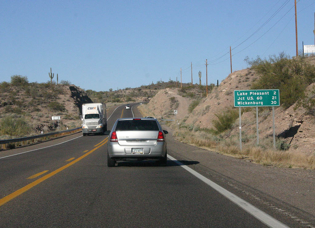
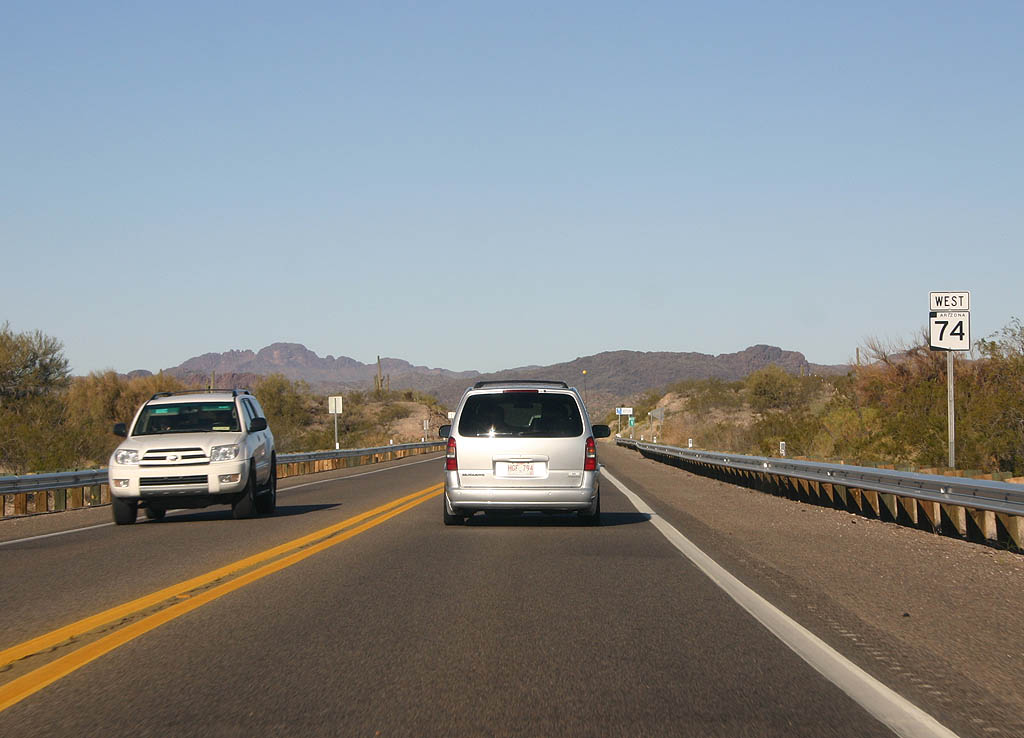
| Distance sign to Lake Pleasant, U.S. 60 and Wickenburg. 03/03/07 |
|
| Lake Pleasant was originally constructed in the 1920s,
and named after Carl Pleasant who was the chief engineer
on the project. 03/03/07 |
|
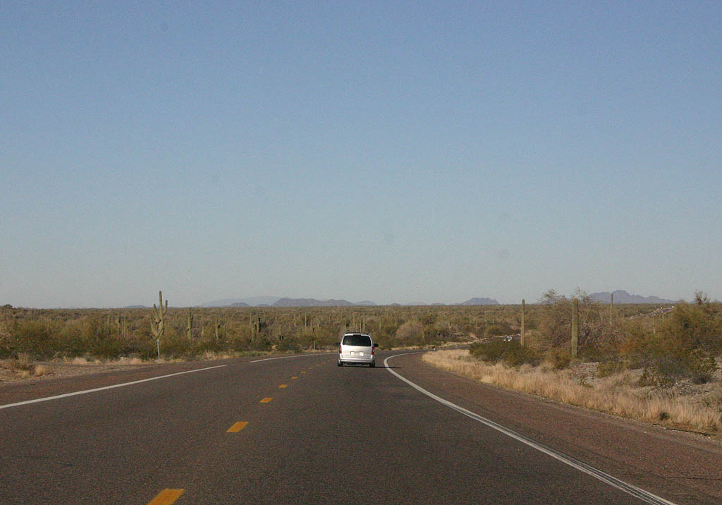
| SR 74 travels through gaps in the Hieroglyphic
Mountains after passing Lake Pleasant. 03/03/07 |
|
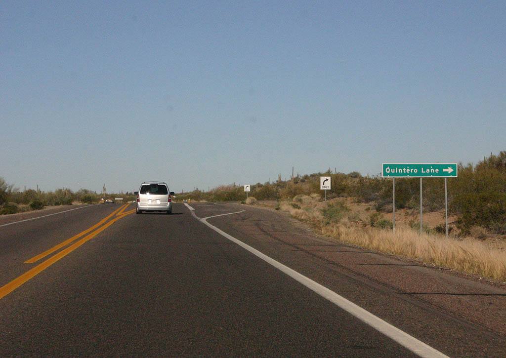
| Turn right to reach Quintero Lane. 03/03/07 |
|
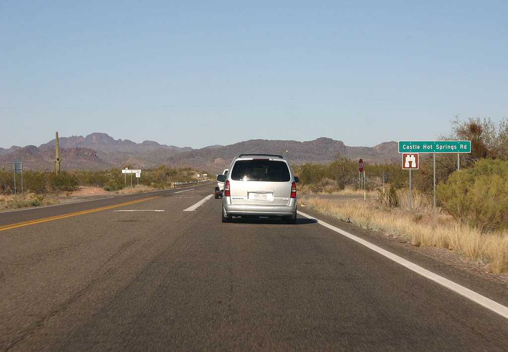
| SR 74 meets Castle Hot Springs Road here. Castle
Hot Springs, located north along the road, is the site
of the first resort in Arizona, dating back to 1896. The
resort burned down in 1976 and remains closed. 03/03/07 |
|
| This reassurance marker is the last reassurance marker
westbound on SR 74. 03/03/07 |
|
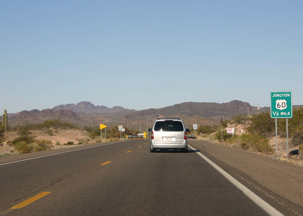
| Advance signage for U.S. 60, 1/2 mile. The upcoming
T-junction marks the end of SR 74. 03/03/07 |
|
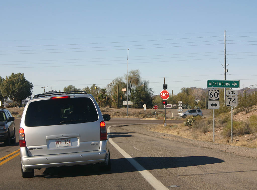
| SR 74 ends at U.S. 60. U.S. 60 travels west to Wickenburg and east to Surprise. 03/03/07 |
Photo Credits:03/03/07 by Kevin Trinkle
Connect with:
Interstate 17
U.S. 60
Page Updated 07-14-2007.

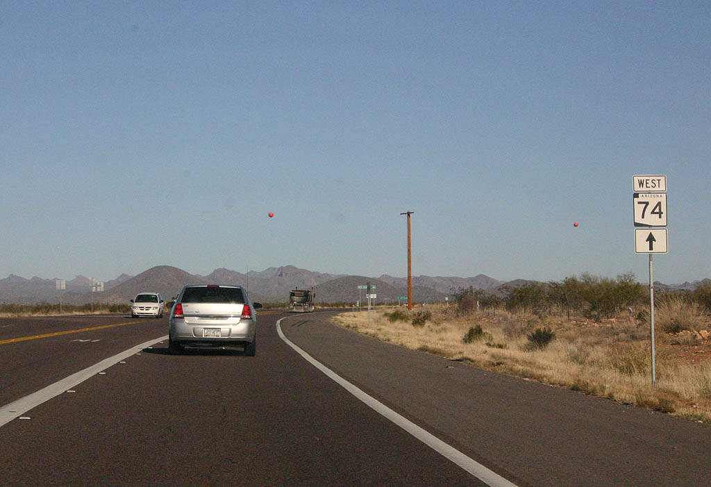
 West
West