|
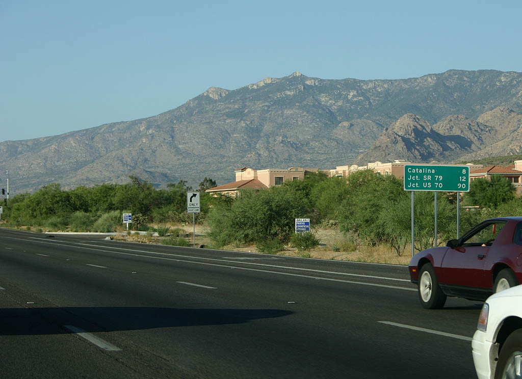
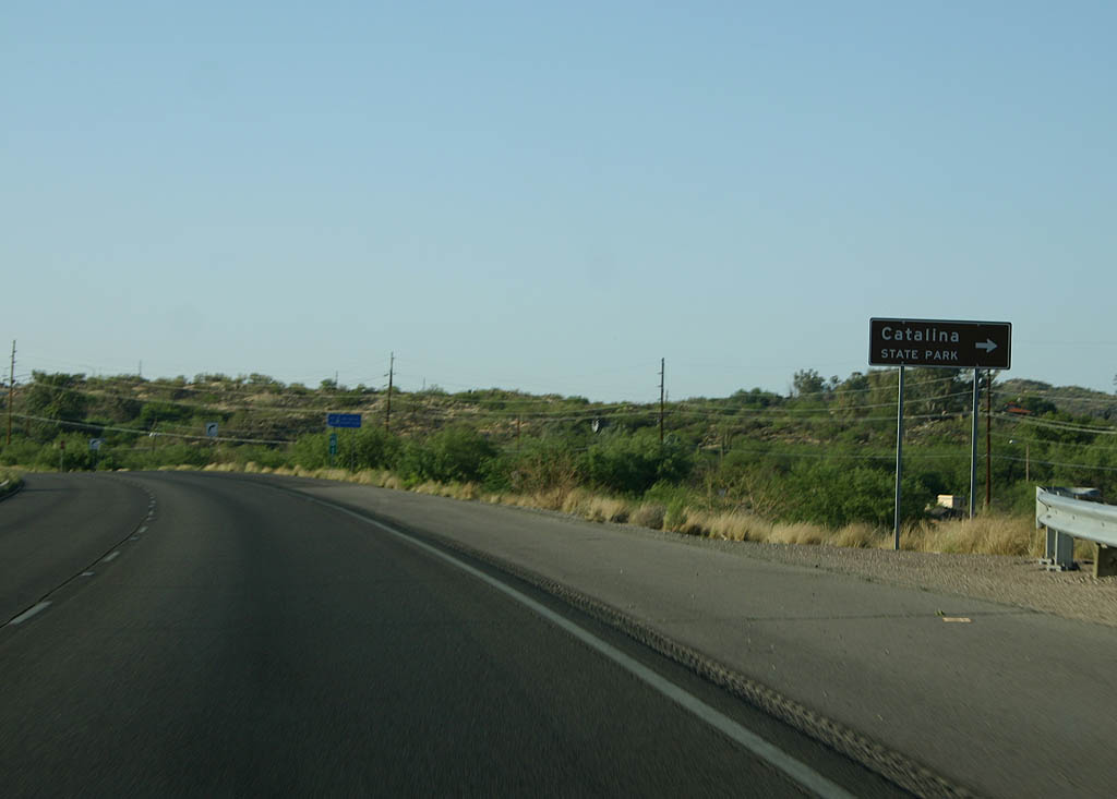
| Distance sign to Catalina, SR 79 and U.S. 70, on
the north side of Tucson. 06/17/07 |
|
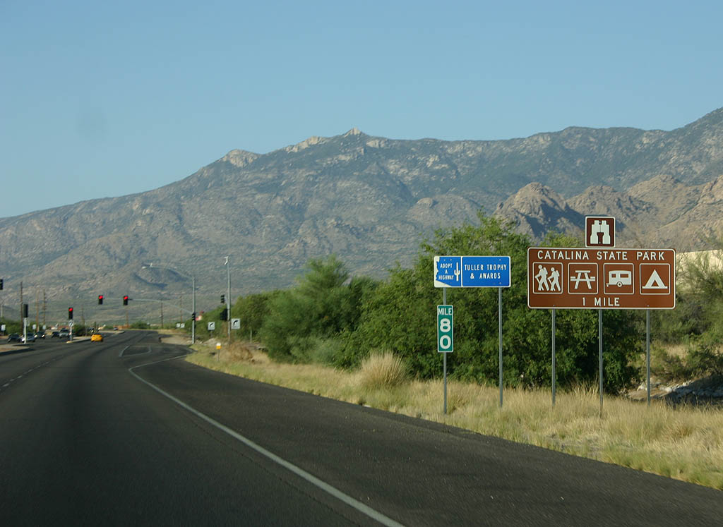
| Advance signage for Catalina State Park, one mile. 06/17/07 |
|
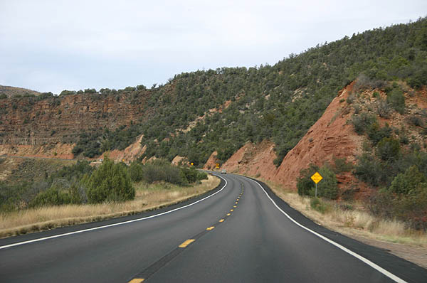
| Turn right for Catalina State Park. The park offers
hiking trails and other outdoor activities in the Catalina
Mountains, which form the northwest boundary of the Tucson
metropolitan area. 06/17/07 |
|
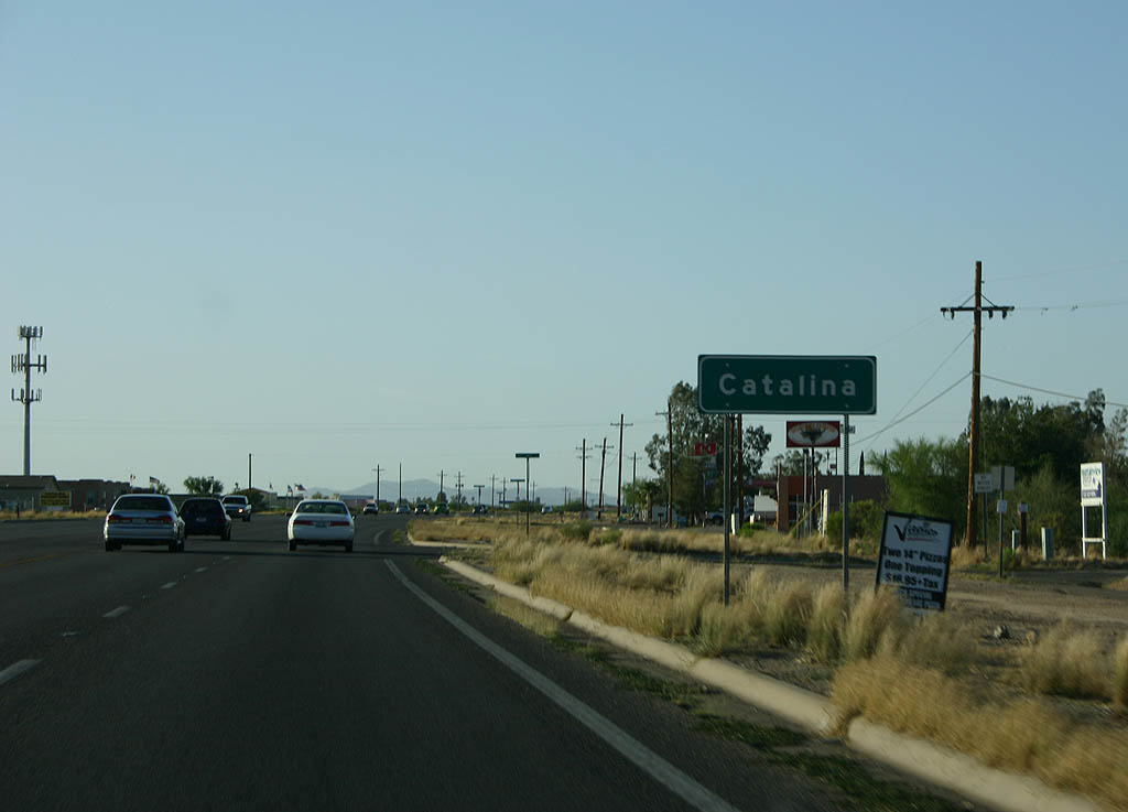
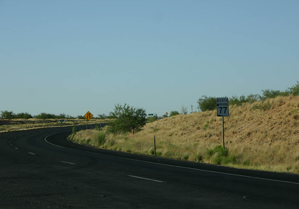
| SR 77 enters the town of Catalina. Catalina is
named after the nearby mountains, and functions as a bedroom
community for Tucson today. 06/17/07 |
|
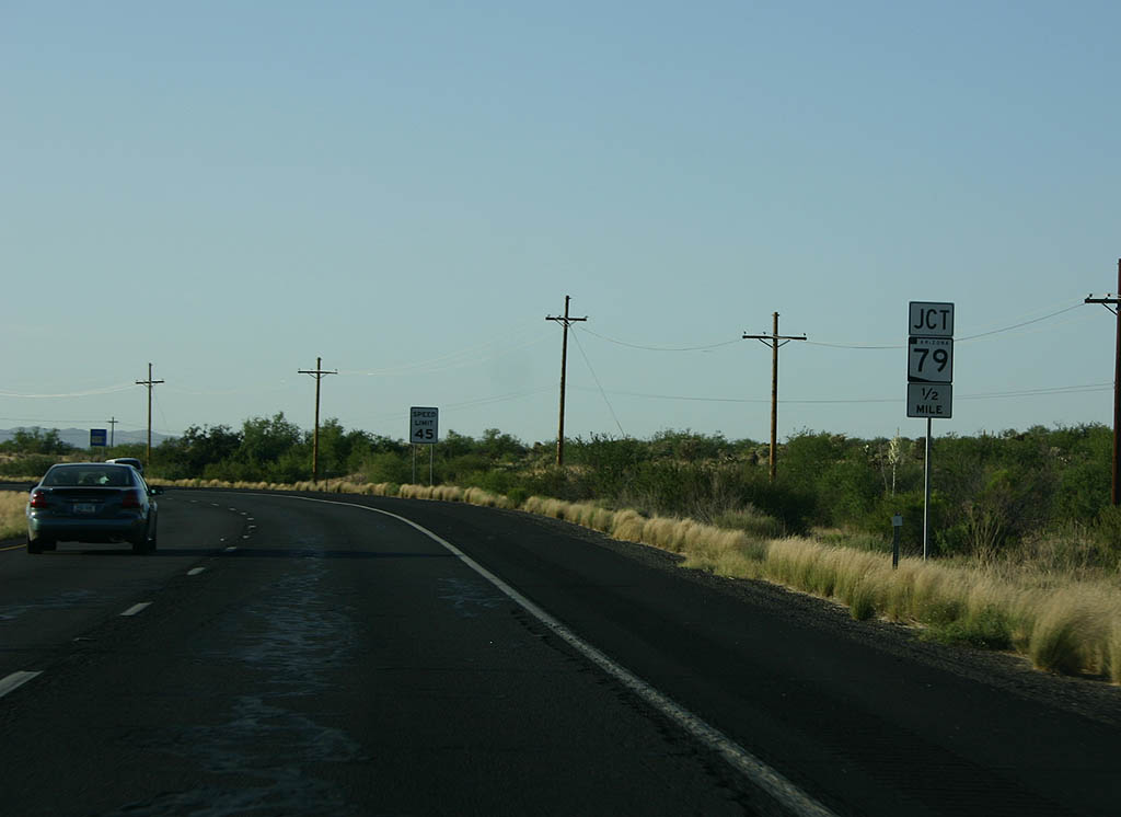
| Advance signage for SR 79, 1/2 mile. 06/17/07 |
|
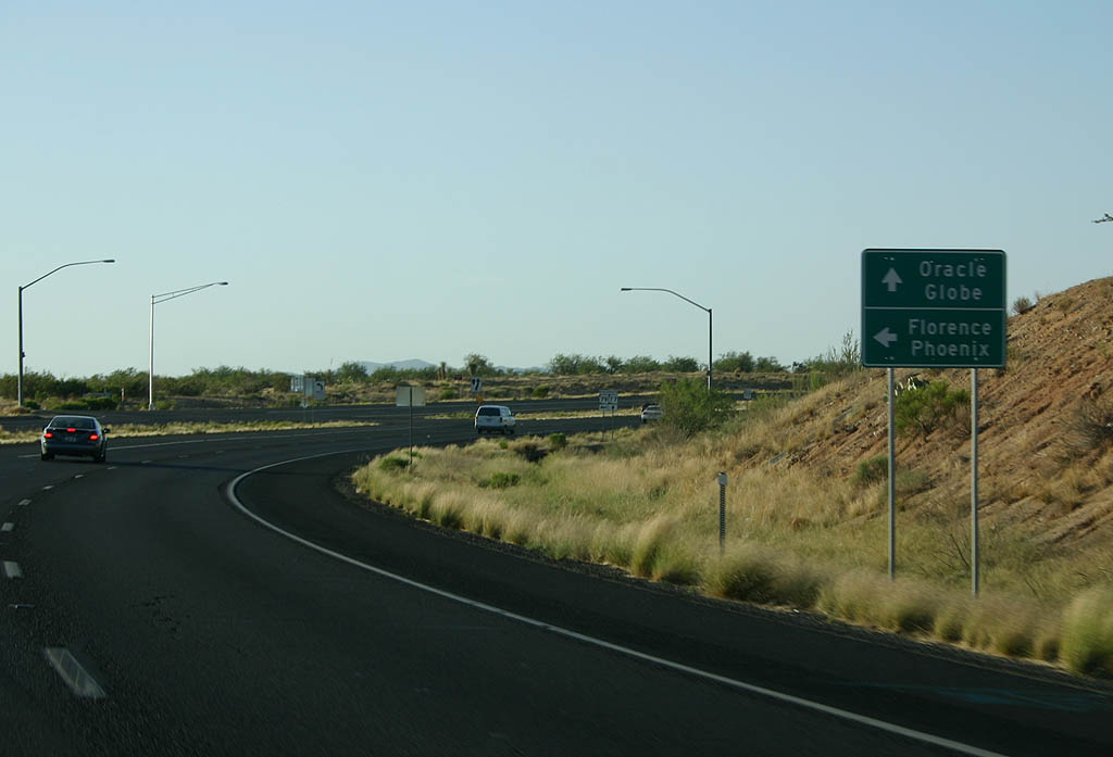
| Turn left on SR 79 to reach Florence and Coolidge, or continue north on SR 77 to reach Oracle. This intersection used to be a T-intersection, and SR 79 (old U.S. 80) was the through route. 06/17/07 |
|
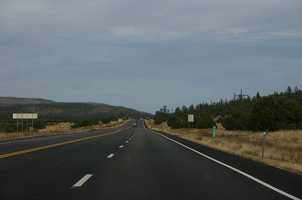
| SR 79 travels over open terrain between Oracle
Junction and Florence. 06/17/07 |
|
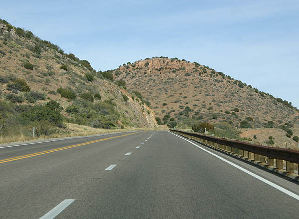
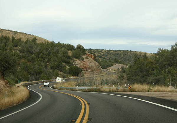
| Now north of Globe, US 60 and SR 77 climb away from the city quite rapidly. 11/11/06 |
|
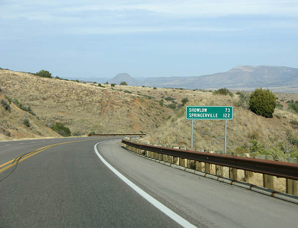
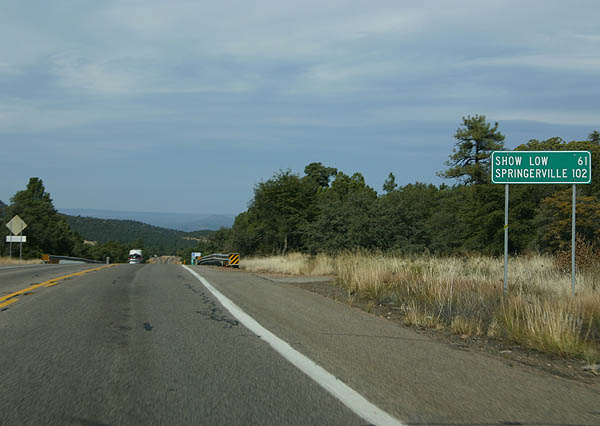
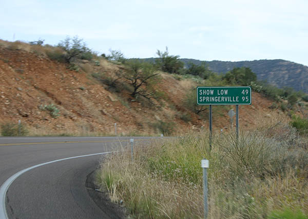
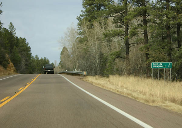
| Distance sign to Show Low and Springerville. US 60 will cross some rugged terrain between Globe and Springerville. 11/11/06 |
|
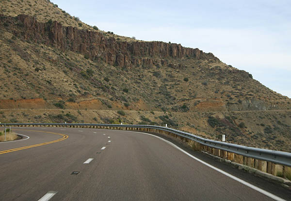
| North of Globe, US 60 passes through additional road cuts as it climbs in elevation. 11/11/06 |
|
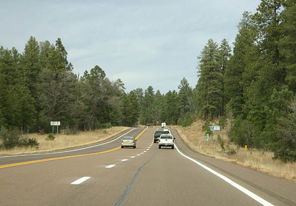
| US 60 north of Globe is much less heavily trafficked then it was between Phoenix and Globe. 11/11/06 |
|
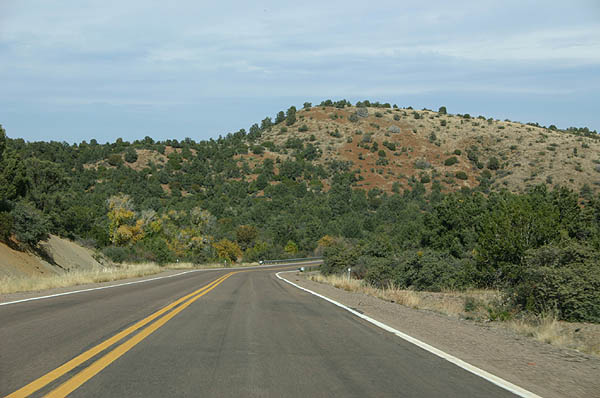
| Scrubby hills are common around Globe. This type of brush cover is common in the high desert mountains. 11/11/06 |
|
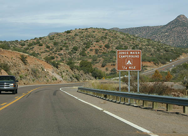
| Advance signage for Jones Water Campground. Jones Water Campground is part of the Tonto National Forest, and is a small, primitive campground (no water available). 11/11/06 |
|
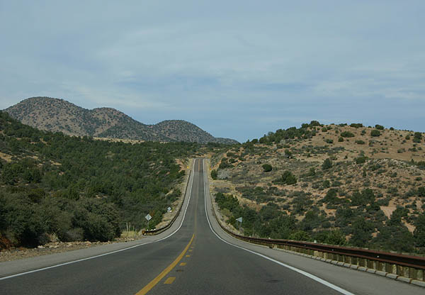
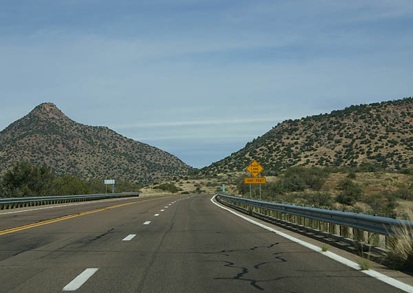
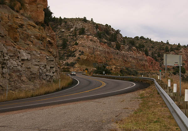
| US 60 has various stretches of passing lanes through the mountains. 11/11/06 |
|
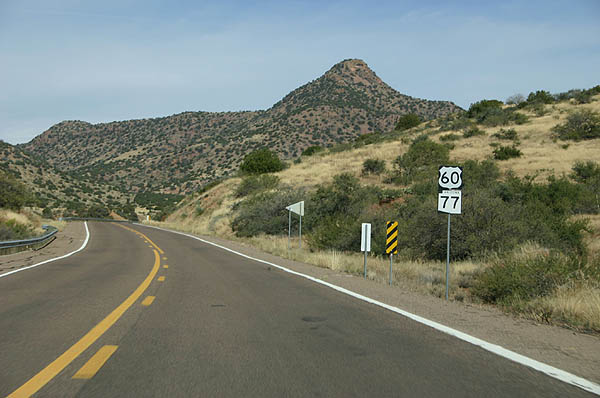
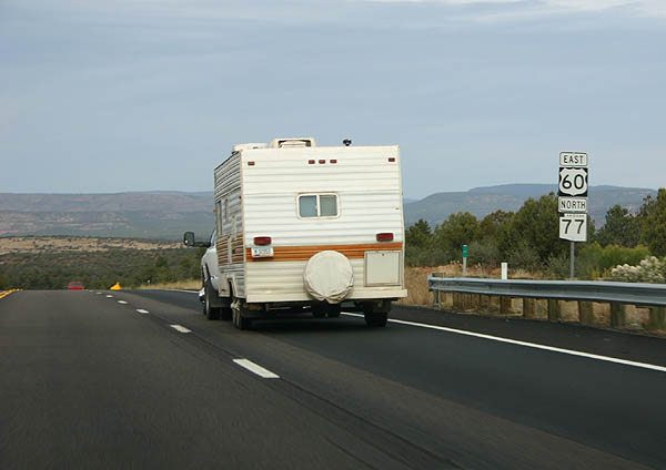
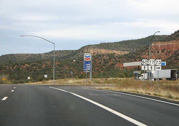
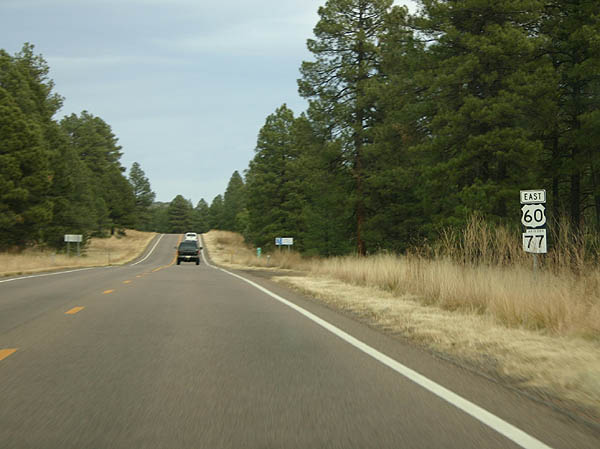
| US 60 and SR 77 remain co-signed north of Globe, as seen on this sign assembly. 11/11/06 |
|
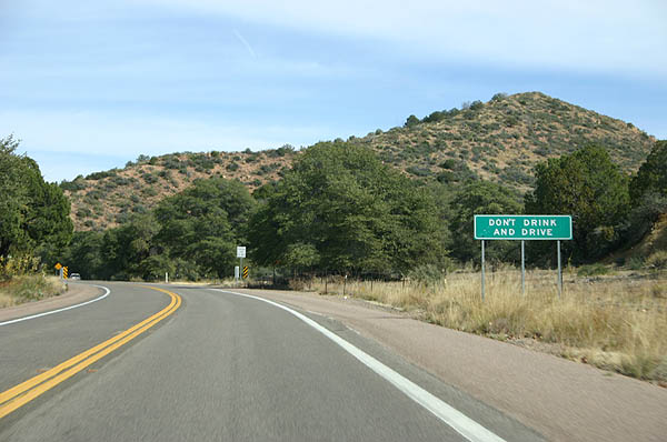
| "Don't Drink and Drive" signs are commonly placed on rural highways in Arizona. 11/11/06 |
|
| Distance sign to Show Low and Springerville. 11/11/06 |
|
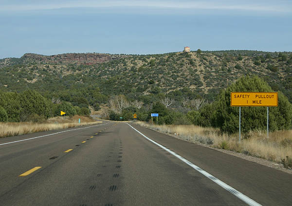
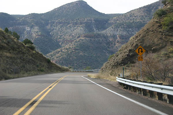
| Advance signage for a Safety Pullout. Arizona places Safety Pullouts before long downhill grades. 11/11/06 |
|
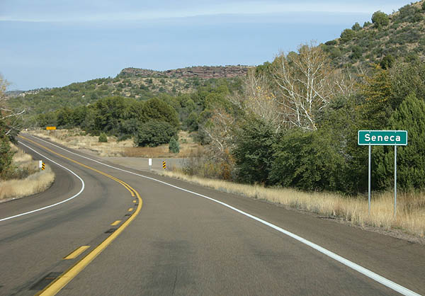
| US 60 meets the ghost town of Seneca here. Seneca was a town established to support the nearby mines, but it has all but been abandoned. 11/11/06 |
|
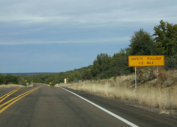
| Distance sign to the aforementioned safety pullout, 1/2 mile. 11/11/06 |
|
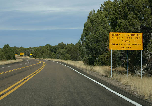
| This advisory sign advises trucks and vehicles pulling trailers to check their brakes before heading down into the Salt River Canyon. 11/11/06 |
|
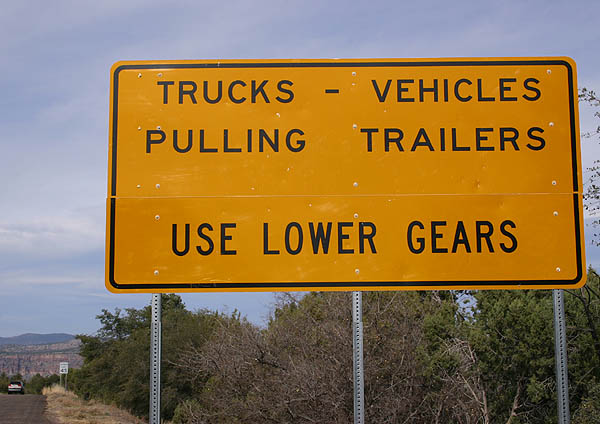
| After the pullout, this sign advises motorists to use lower gears if they are a truck or pulling a trailer. It's a wild ride ahead, and a long way down to the bottom. 11/11/06 |
|
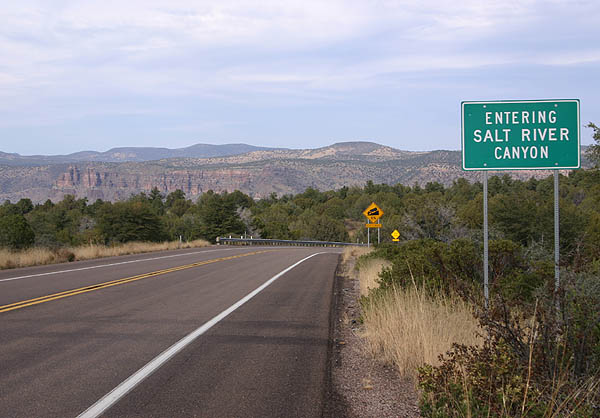
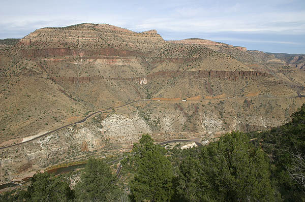
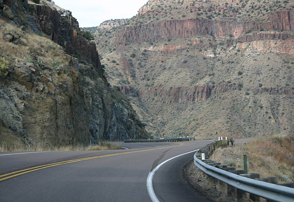
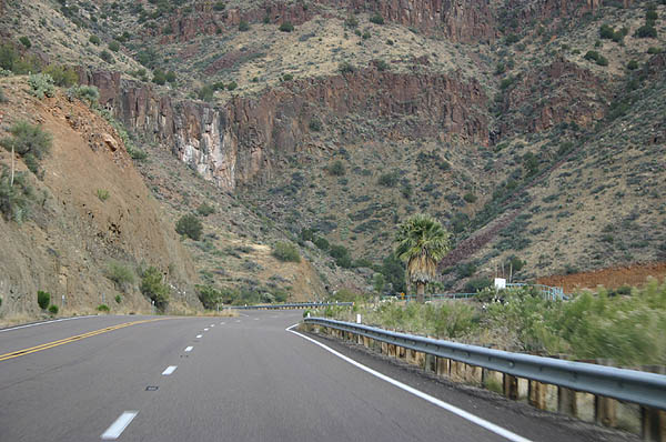
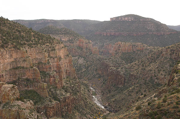
| US 60 enters the Salt River Canyon here. 11/11/06 |
|
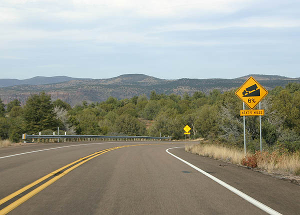
| This photo is rather deceptive, as US 60 will have a 6% grade for the next five miles. However, all motorists see right now are mountains on the horizon, not knowing about the canyon between here and the other side. 11/11/06 |
|
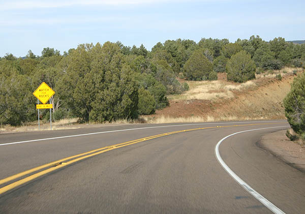
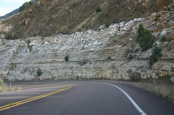
| US 60 travels through a number of roadcuts ahead, as warned by this sign (advising to watch for rocks). 11/11/06 |
|
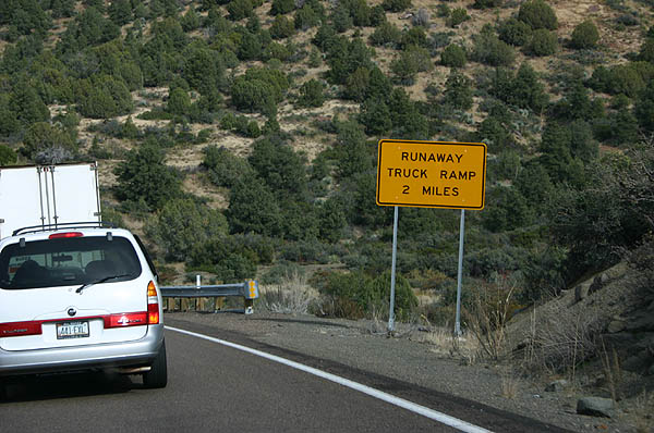
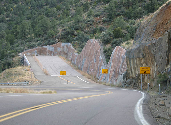
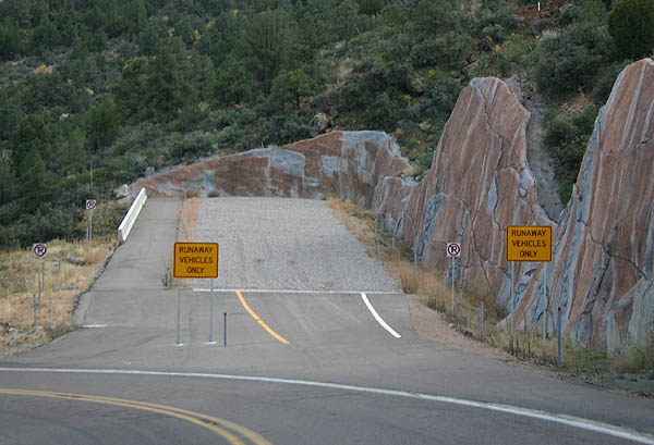
| In the 1990s, a runaway truck ramp was added. This sign advises motorists of the runaway truck ramp ahead. 11/11/06 |
|
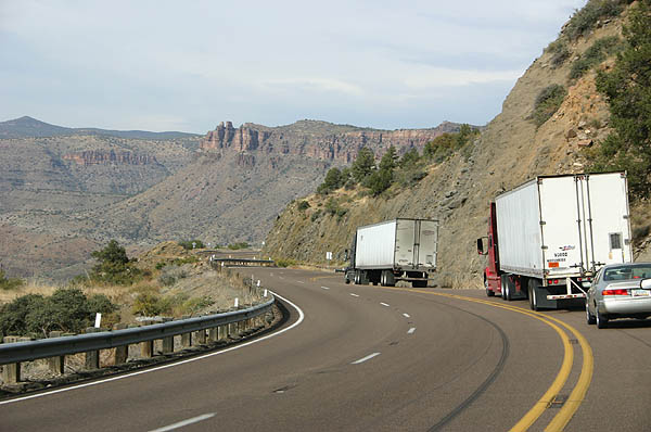
| Unfortunately, if stuck behind a truck, it will make your ride a lot longer to the canyon bottom. The two trucks seen here were traveling approximately 20 MPH. 11/11/06 |
|
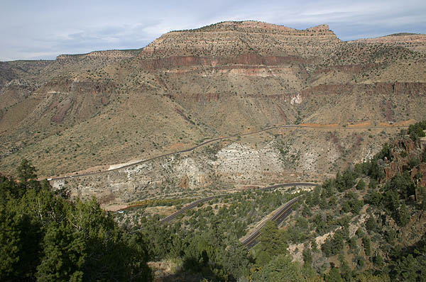
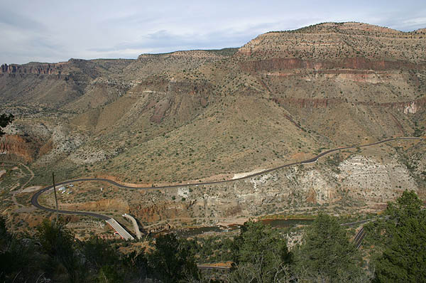
| These photos were taken from an abandoned rest area on an old alignment of US 60, and have an excellent view of the grade and the twin Salt River bridges at the bottom of the canyon. 11/11/06 |
|
| These photos were taken of the runaway truck ramp, as approaching it northbound. 11/11/06 |
|
| The descent into the Salt River Canyon is a wild ride, and photos do not do it justice. 11/11/06 |
|
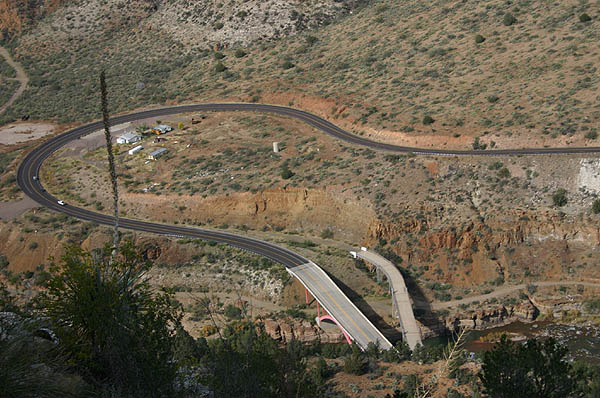
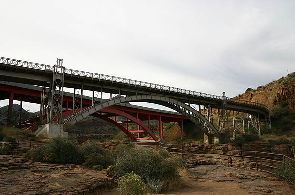
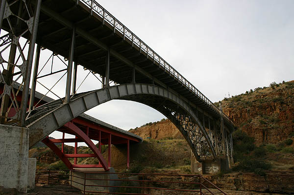
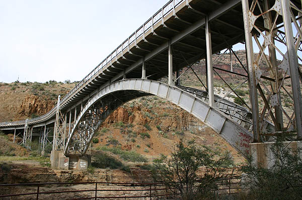
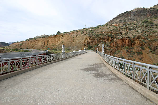
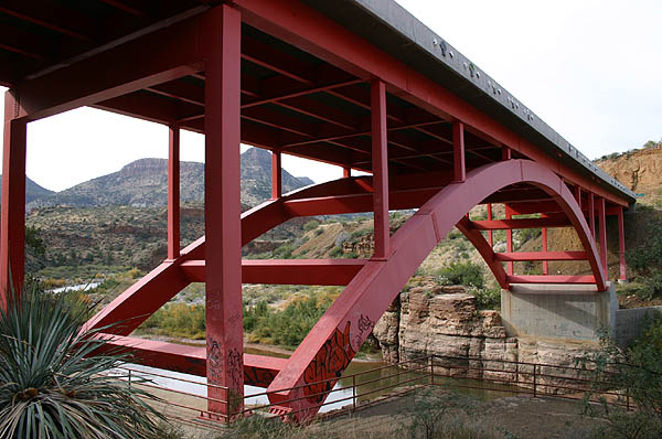
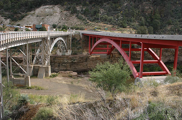
| The Salt River Bridge was built in 1933-34, with the parallel replacement bridge (red) built in 1994. These photos were taken from the rest area at the bottom of the canyon. 11/11/06 |
|
| After crossing the new bridge, US 60 turns to follow the base of a small (relatively speaking) cliff. The old gas station and mini-mart located here is now closed. 11/11/06 |
|
| Distance sign to Show Low and Springerville, the next two cities along US 60. 11/11/06 |
|
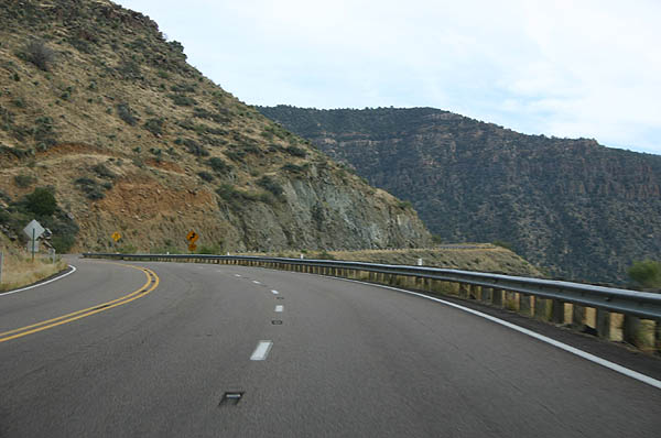
| US 60 gains a climbing lane as it climbs along the north side of the Salt River Canyon. 11/11/06 |
|
| US 60 climbs quickly along the north canyon wall, as seen here. 11/11/06 |
|
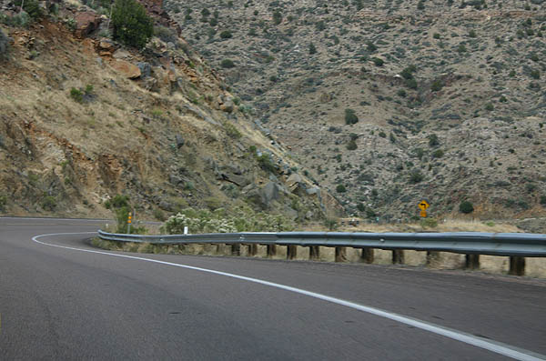
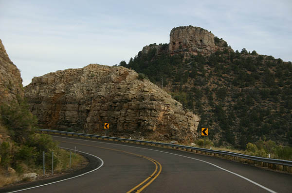
| Climbing up toward Becker Lookout, the road pulls back and passes through some road cuts, similar to this one. 11/11/06 |
|
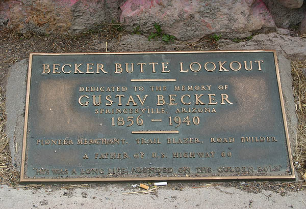
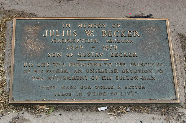
| Becker Lookout was named for Walter Becker, described as the father of US 60. Becker was one of the pioneers who lived in this area in the 1920s, and his work led to the designation of US 60 as a transcontinental highway. His work communicating road surfaces and traffic counts led to the establishment of US 60, and this lookout is dedicated to his memory, along with that of his son. 11/11/06 |
|
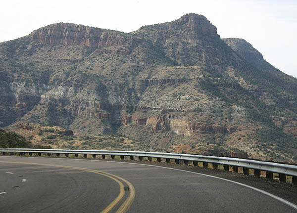
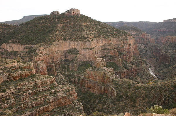
| At the top of the canyon, the scenery changes dramatically. 11/11/06 |
|
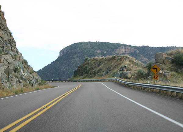
| US 60 continues to twist and turn as it makes the final climb out of the Salt River Canyon, into high mountainous terrain. 11/11/06 |
|
| US 60 remains co-signed with SR 77 as it reaches the top of the Mogollon Rim. 11/11/06 |
|
| Distance sign to Show Low and Springerville. 11/11/06 |
|
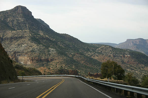
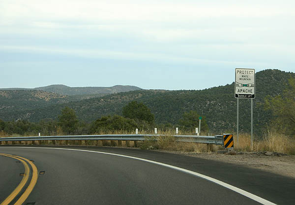
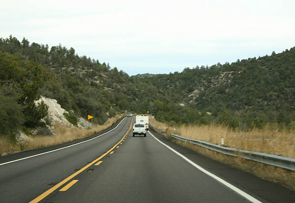
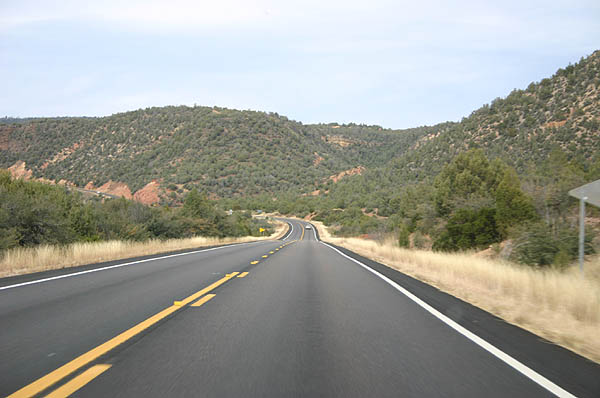
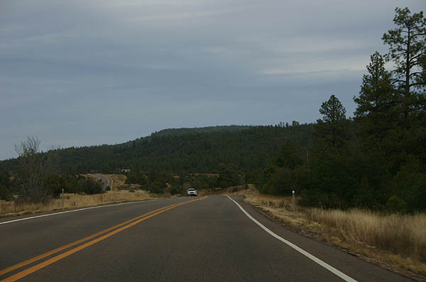
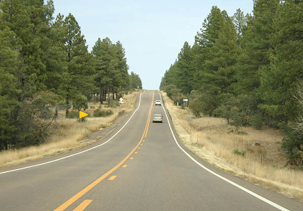
| US 60 continues through the scrub-covered lands of northeastern Arizona. 11/11/06 |
|
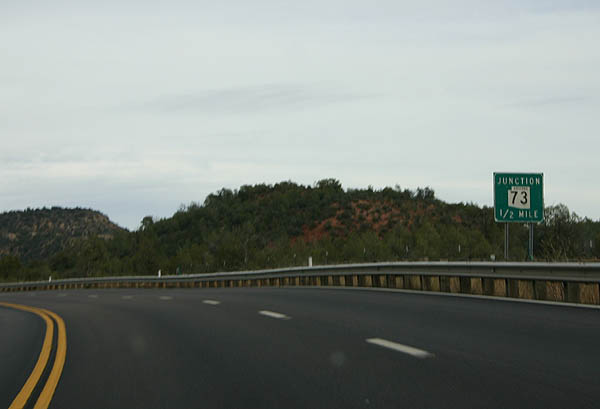
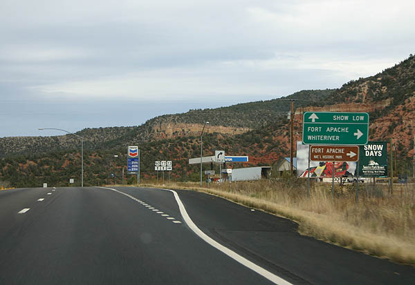
| Advance signage for SR 73. 11/11/06 |
|
| SR 73 is the original road up through the Fort Apache Indian Nation, with the majority replaced by US 60. The present-day road begins here and travels through Fort Apache, Hon Dah and White River to SR 260. 11/11/06 |
|
| SR 73 departs here from US 60. SR 77 and US 60 continue north to Show Low from this point. 11/11/06 |
|
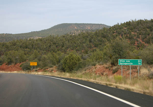
| Distance sign to Show Low and Springerville. 11/11/06 |
|
| US 60 passes through Corduroy Creek canyon on the way up to Show Low. Corduroy creek, according to Barnes, is named because the creek next to the road was "corduroyed" (covered) with logs in 1880.1 11/11/06 |
|
| Corduroy Creek canyon widens out to a wide valley above
the canyon. US 60 passes through the wide valley. 11/11/06 |
|
| As US 60 climbs above the 6000 foot level, tall pine
trees start appearing. 11/11/06 |
|
| US 60 enters Skiddy Canyon, which contains Forestdale
Creek, as it makes the final climb up to Show Low. 11/11/06 |
|
| US 60 and SR 77 continue to be multiplexed all
the way to Show Low. 11/11/06 |
|
| Yet another distance sign to Show Low and Springerville. 11/11/06 |
|
| Sometimes, it is hard to believe that scenes like this
can be found in Arizona. 11/11/06 |
|
| US 60 leaves the Fort Apache Indian Reservation, and
crosses the Mogollon Rim here. At this point, we are 6594
feet above sea level. 11/11/06 |
|
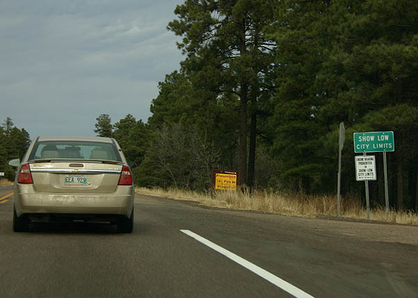
| US 60 enters the city limits of Show Low just after
crossing the Mogollon Rim. Show Low is one of the major
cities of northeastern Arizona, and was named from a game
of Seven-Up. The quote is "If you can show low, you
can win" to which the winner put down the cards and
said "Showlow it is"2. 11/11/06 |
|
| As US 60 descends through Fools Hollow, the road approaches
SR 260. 11/11/06 |
|
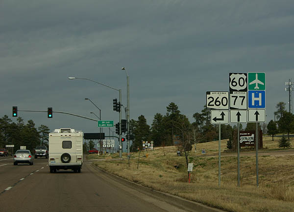
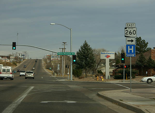
| US 60 is named "Deuce of Clubs Avenue" through
Show Low. At this point, US 60 meets SR 260, which
will be multiplexed with US 60 through Show Low. 11/11/06 |
|
| Deuce of Clubs Avenue is the main street of Show Low,
the commercial center of the White Mountains. 11/11/06 |
|
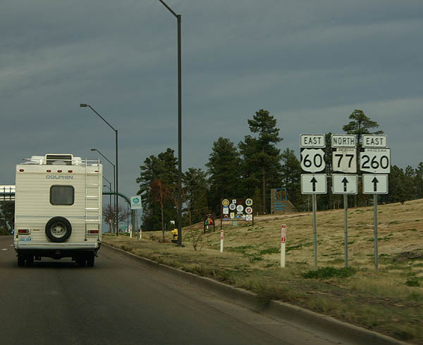
| The multiplex with SR 260 ends fairly quickly,
as SR 260 will split east to follow the Mogollon
Rim to US 191. 11/11/06 |
|
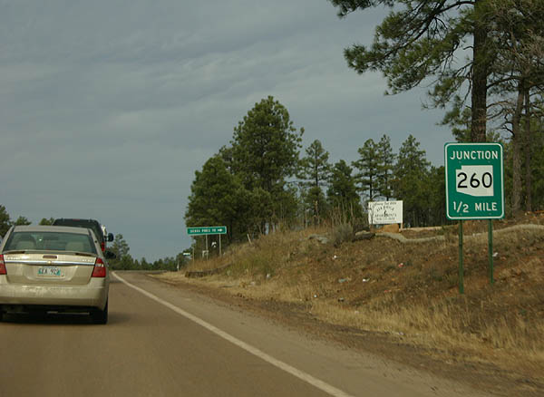
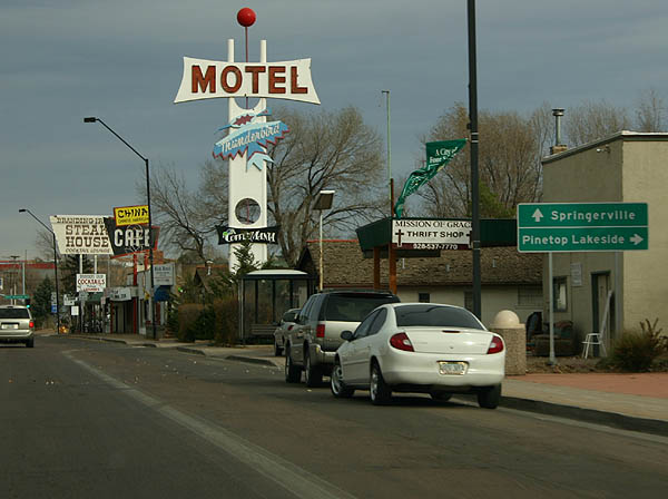
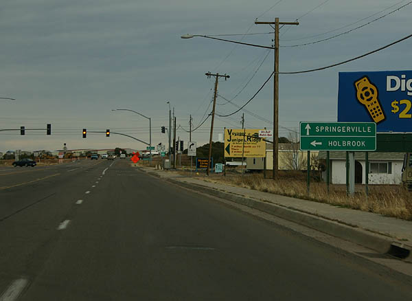
| Continue ahead on US 60 to Springerville, or turn right
on SR 260 to Pinetop and Lakeside, at the upcoming
intersection with SR 260. 11/11/06 |
|
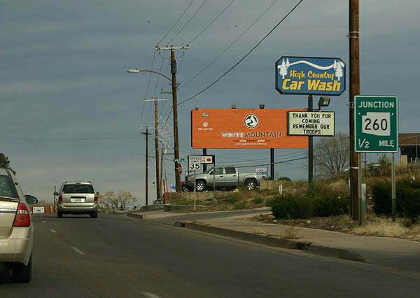
| SR 260 departs here, to head south to Pinetop,
Lakeside, and Hon Dah. 11/11/06 |
|
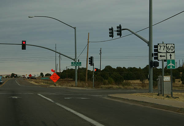
| SR 77 parts ways with U.S. 60 east next for Holbrook while U.S. 60 continues east to Springerville. 11/11/06 |
|
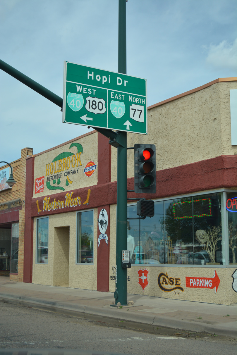
| Following the long overlap from Globe, SR 77 separates from U.S. 60 and travels north to U.S. 180 and Business Loop I-40 in Holbrook. 11/11/06 |
|
| U.S. 180 west combines with SR 77 (Navajo Boulevard) north 0.74 miles to Business Loop I-40/Historic U.S. 66 (Hopi Drive) in Downtown Holbrook. 04/27/17 |
Page Updated 04-01-2022.

 East
East  North
North