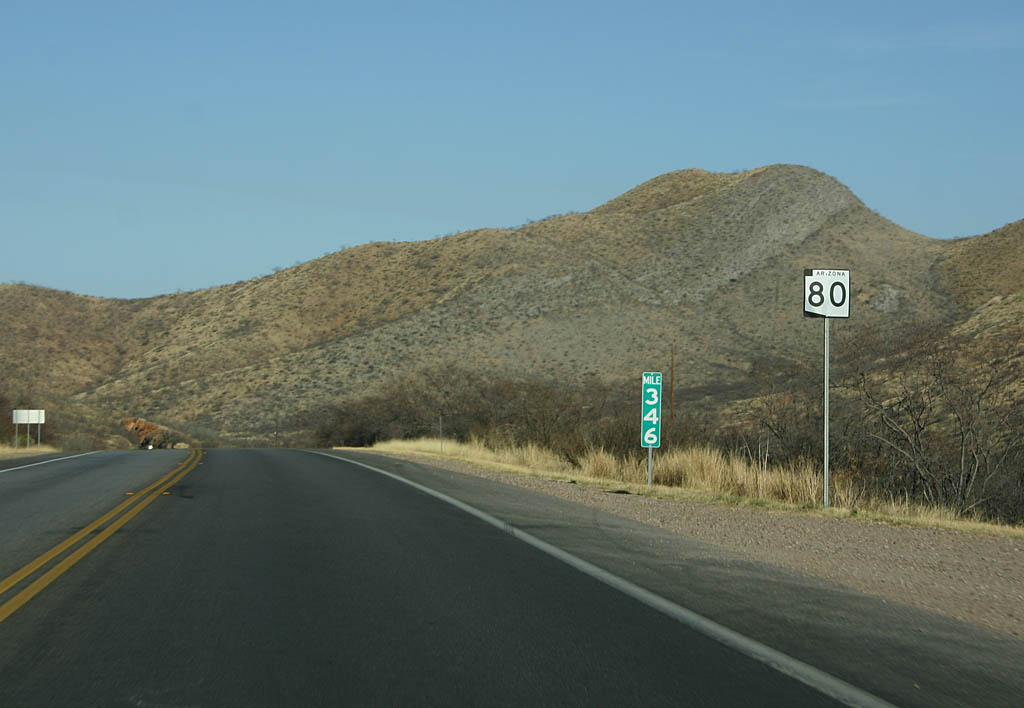
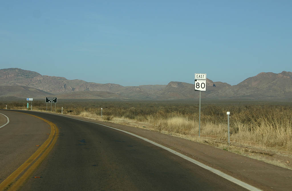
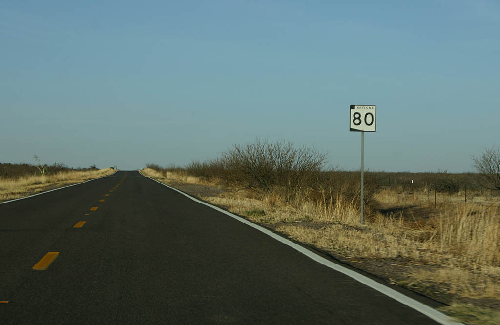
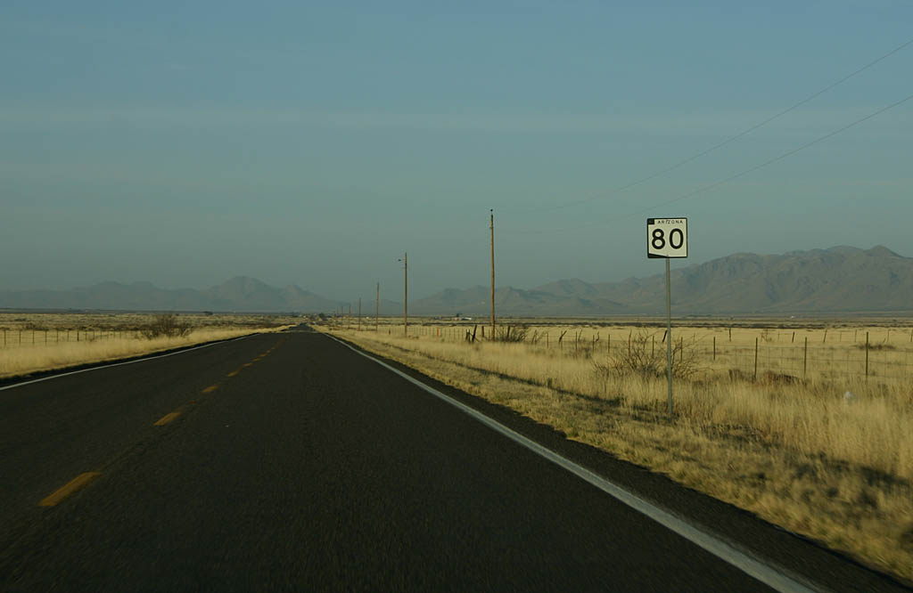
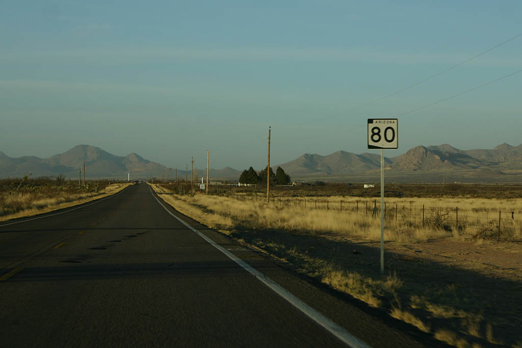
Arizona 80 replaced U.S. 80 between Benson and the Arizona-New Mexico State Line near Rodeo, New Mexico, via Tombstone, Bisbee, and Douglas. This historical route is rife with tradition and folklore, including the haunted hotels at Tombstone and the Lavender Pit at Bisbee.
Arizona 80 was commissioned in 1989, with the removal of U.S. 80 west of El Paso. The section of road between Douglas and Rodeo, New Mexico is one of the least trafficked sections of road in Arizona. Much of this section is still on the same alignment as it was in 1928.
|
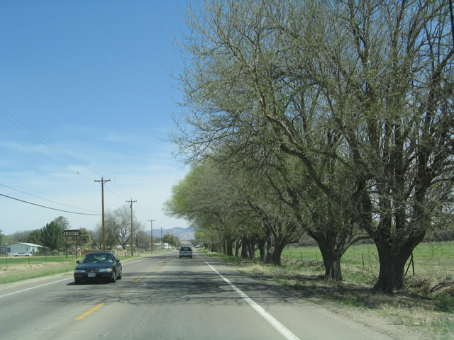
| View of eastbound SR 80 as it passes through the town of St. David, which is located just south of Benson along old U.S. 80. 03/26/04 |
|
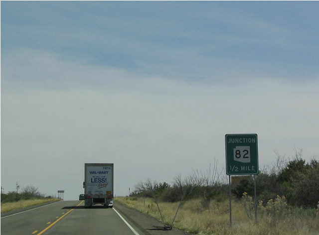
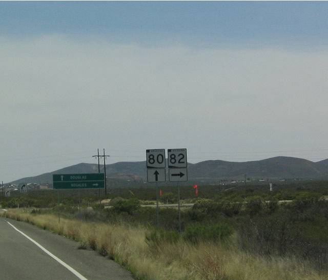
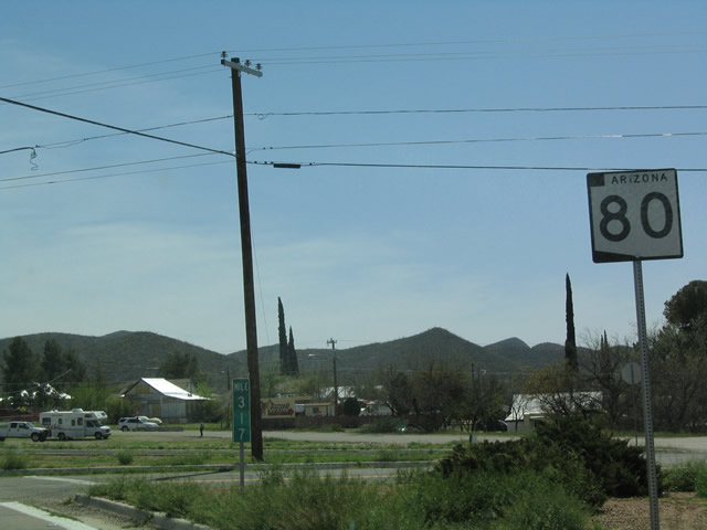
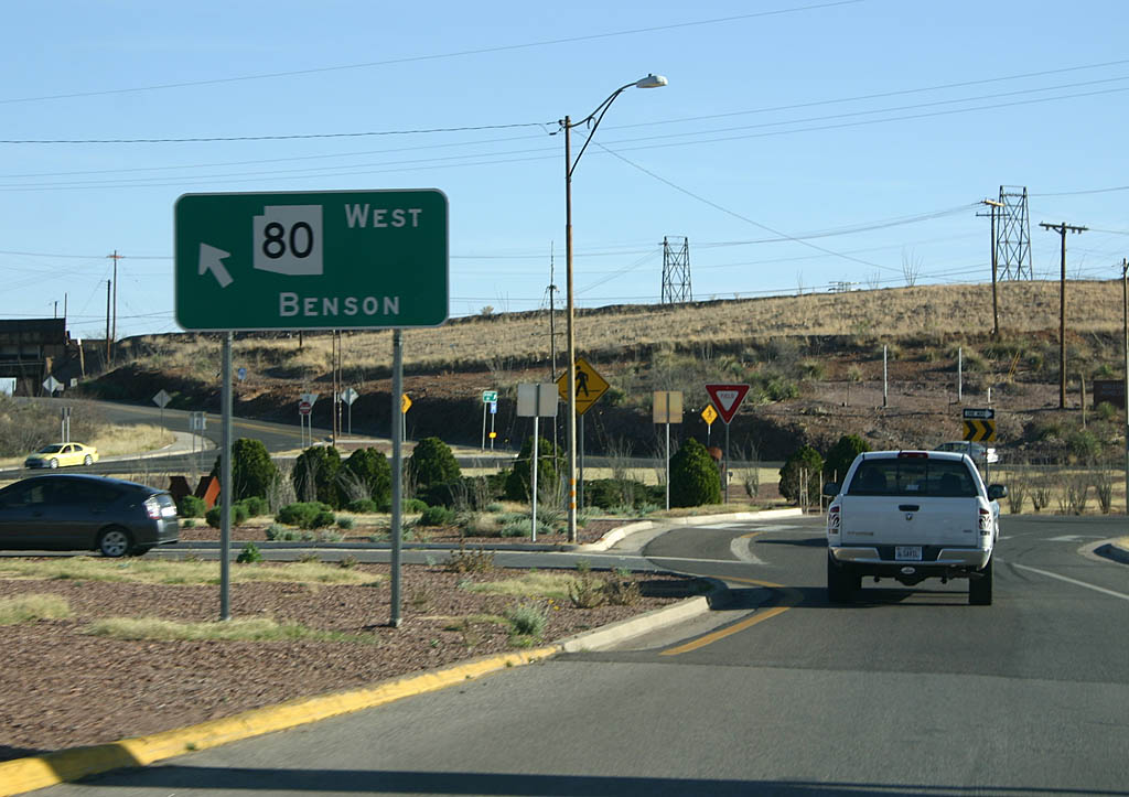
| The next major intersection along eastbound is for SR 82, an east-west highway that heads southwest toward Nogales via the Coronado National Forest. 03/26/04 |
|
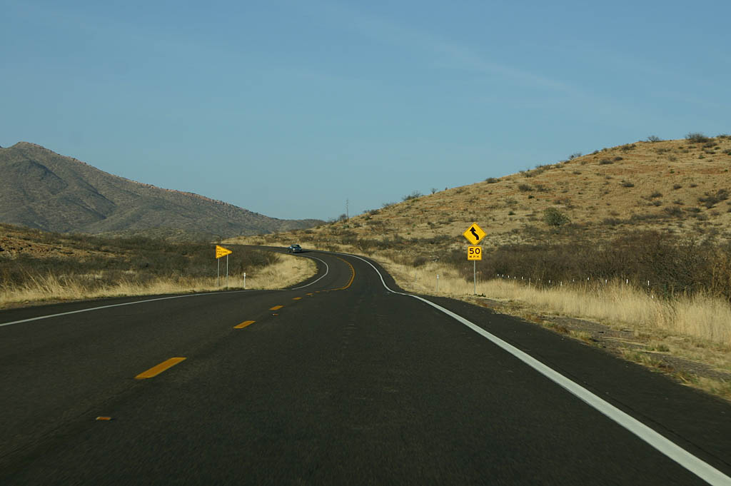
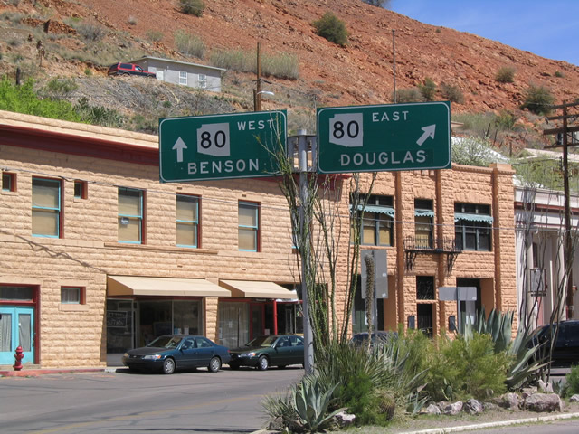
| SR 82 heads west to Sonoita, Patagonia, and Nogales, while SR 80 continues southeast toward Tombstone, Bisbee, Naco, and Douglas. 03/26/04 |
|
| This reassurance shield is located on eastbound SR 80 after it passes by the SR 82 intersection. 03/26/04 |
|
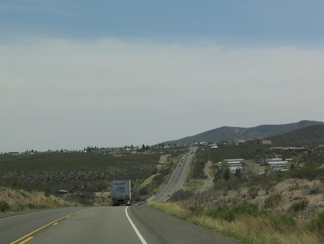
| View of eastbound SR 80 as it approaches the city of Tombstone. 03/26/04 |
|
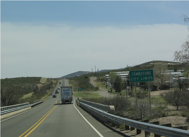
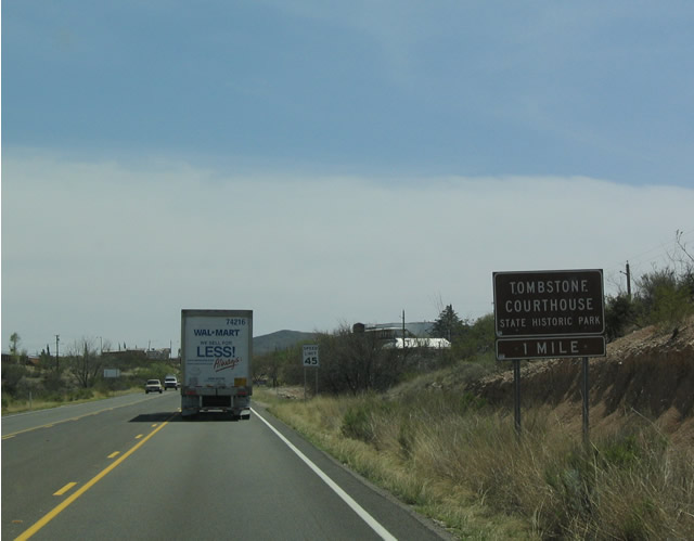
| SR 80 next enters the city of Tombstone. The highway ascends to Boot Hill as it enters Tombstone. 03/26/04 |
|
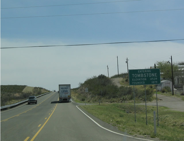
| The city of Tombstone was founded in 1879, and it is perhaps the best known of the historic mining towns of Southeast Arizona. Once called home by the brothers Morgan, Virgil, and Wyatt Earp, the town also featured Doc Holliday. 03/26/04 |
|
| Tombstone is home to the Tombstone Courthouse State Historic Park as well as a variety of historic shops and museums along Allen Street. Everything in Tombstone is walk able except for Boot Hill, which is a bit northwest of town. 03/26/04 |
|
| This SR 80 shield is located on the 90-degree turn along SR 80 found as soon as motorists enter Tombstone. 03/26/04 |
|
| The historic district of Tombstone is located on Allen Street, which is one block south of SR 80. There are currently three locations within the historic district that are performing reenactments of the gunfight at OK Corral. 03/26/04 |
|
| Having left Tombstone, eastbound SR 80 passes a junction with Arizona
90, goes through the Mule Pass Tunnel, and bypasses Old Bisbee. On the other
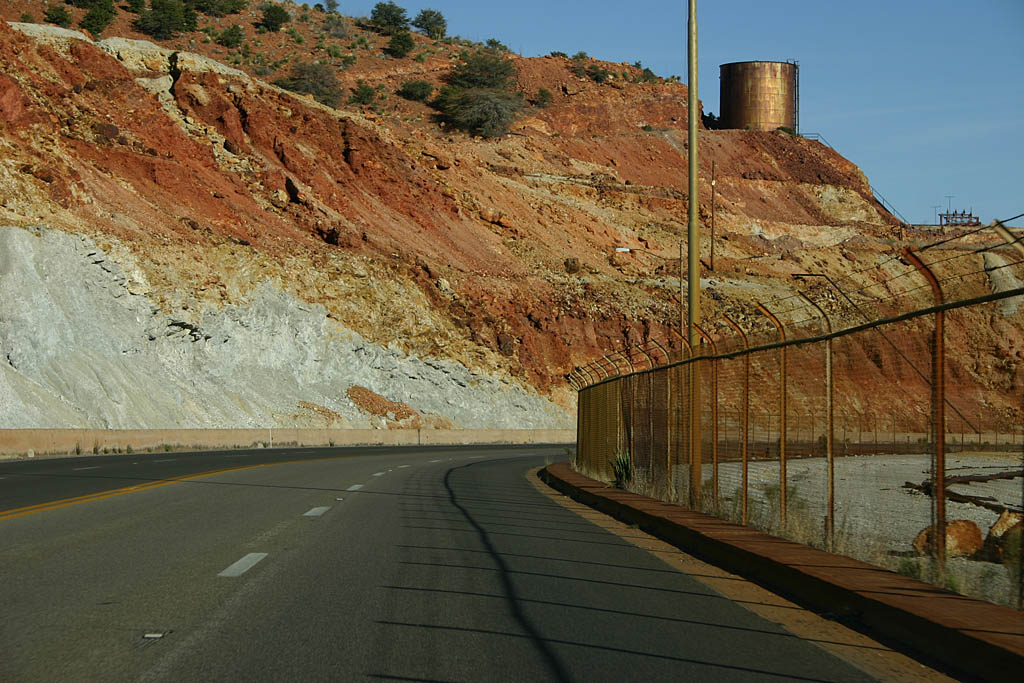
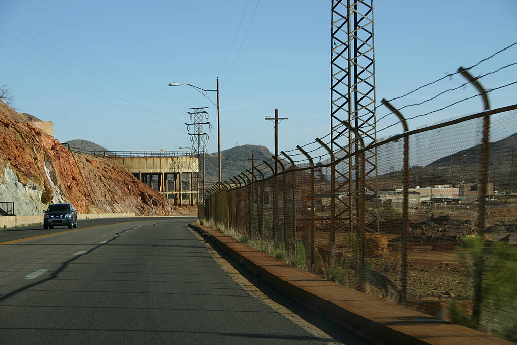
side of Bisbee, SR 80 approaching the Lavender Pit in Bisbee. A parking
area is situated to the right (west) of the main highway. 02/28/09 |
|
| SR 80 passes around the Lavender Pit site, with mining remains built
up to both sides of the highway. Notice the stained fences. This section
of SR 80 through the Lavender Pit was realigned in 1961 to allow additional
mining. 02/28/09 |
|
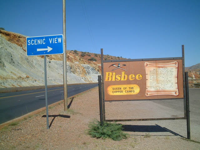
| The red soil of Bisbee further bolsters its claim to be the "Queen of the Copper Camps." In addition to the sprawling Lavender Pit, many relics from the mining area remain, including old mining facilities, power lines, and utility connections. 05/24/03 |
|
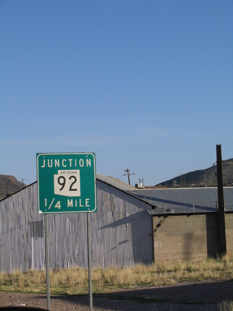
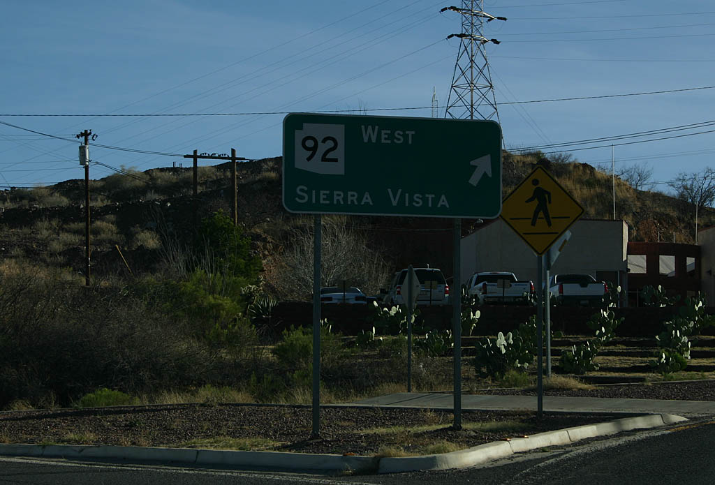
| Eastbound SR 80 approaching SR 92 west. SR 92 heads west to Sierra Vista via Palominas, where it meets SR 90. Use SR 92 west to reach the Coronado National Monument. 02/28/09, 03/27/04 |
|
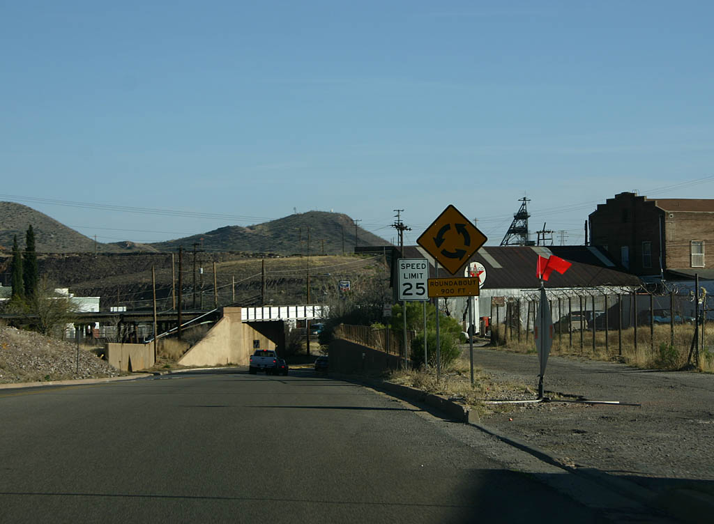
| The SR 80/SR 92 intersection was reconstructed in 2001 into a traffic
circle. ADOT has been steadily adding traffic circles to intersections throughout
Arizona as a traffic safety measure, but the move has not been without controversy. 02/28/09 |
|
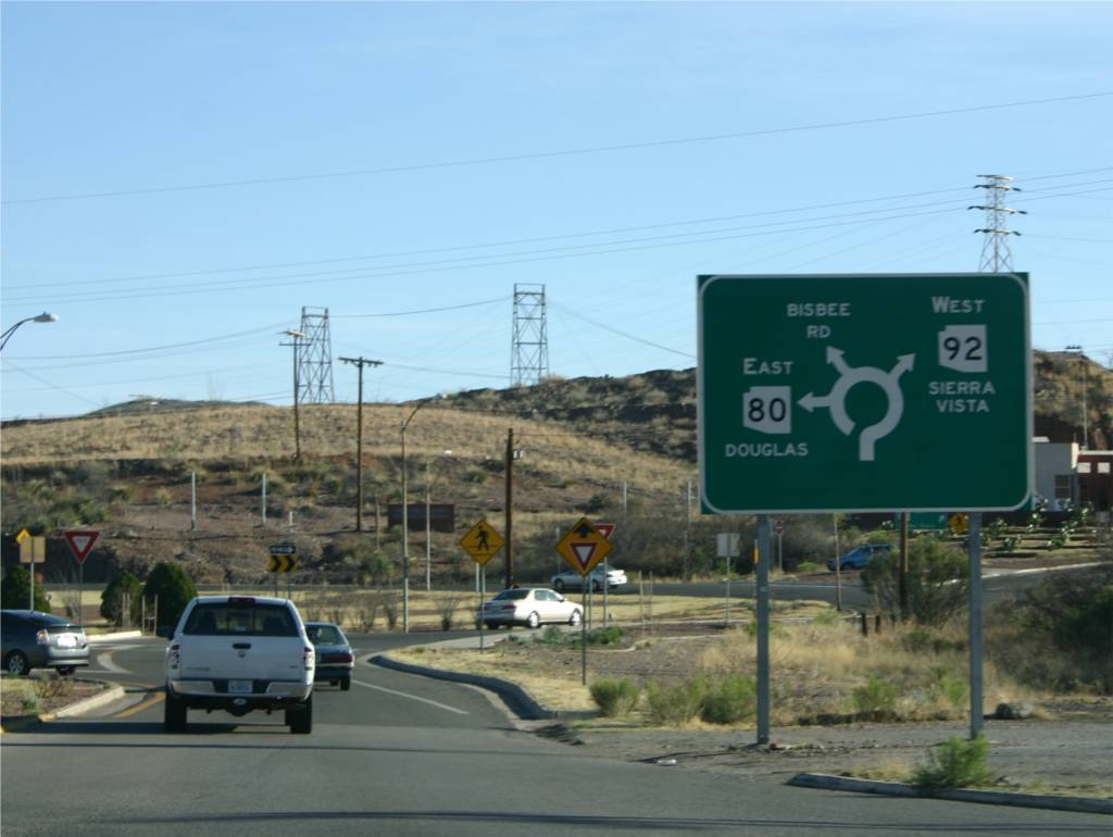
| This sign, located at the traffic circle interchange between SR 80,
SR 92, and Bisbee Road, shows the location of each road in relationship
to each other. 02/28/09 |
|
| Traffic continuing on SR 80 westbound at the traffic circle needs
to remain in the circle. 02/28/09 |
|
| After passing the Lavender Pit, SR 80 meets SR 92 at a traffic
circle south of Bisbee. SR 92 leads southwest to Warren, then heads west
to meet
SR 90 near Sierra Vista. 02/28/09 |
|
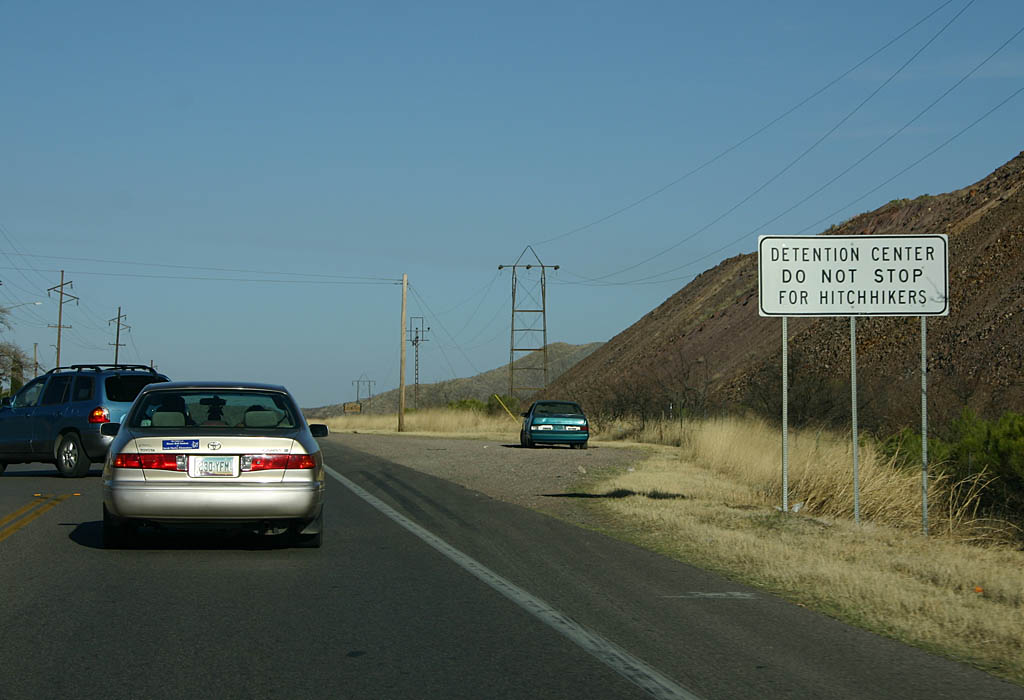
| Just east of SR 92 is a correctional facility. 02/28/09 |
|
| Distance sign to Douglas (21 miles) and Lordsburg (115 miles). 02/28/09 |
|
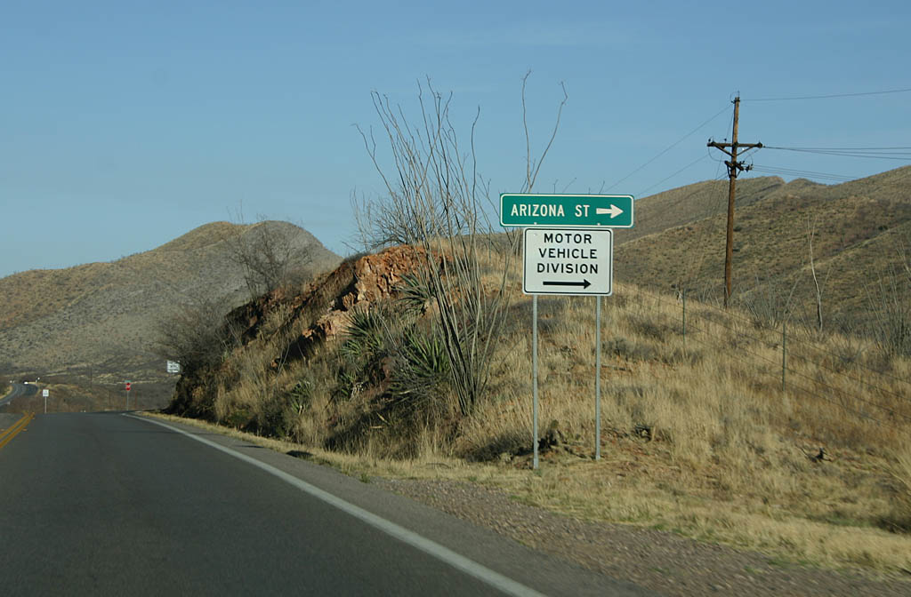
| Turn right for Arizona Street and the Arizona MVD office. 02/28/09 |
|
| Reassurance marker for SR 80. We are east of Bisbee, passing through
Mule Gulch. 02/28/09 |
|
| SR 80 passes through Mule Gulch on the way to Douglas. 02/28/09 |
|
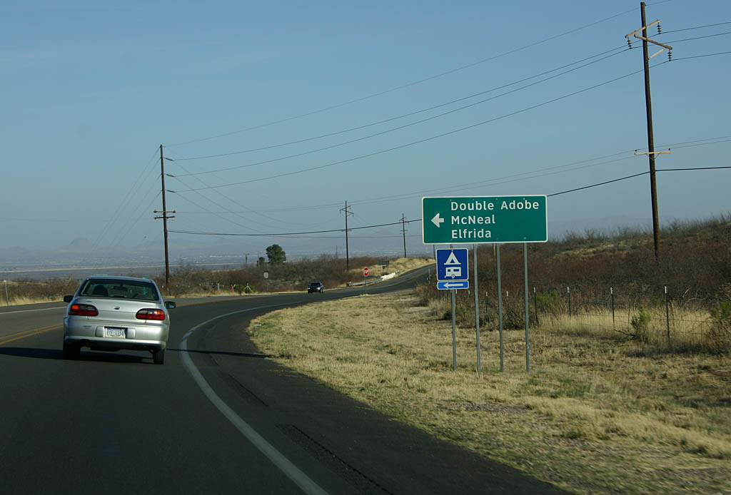
| Turn left for Double Adobe, McNeal, and Elfrida. 02/28/09 |
|
| Leaving Mule Gulch, SR 80 enters the wide Sulphur Springs Valley.
Douglas sits in the middle of this valley. 02/28/09 |
|
| SR 80 becomes a divided highway after leaving the gulch, and will
remain a divided highway until reaching Douglas. 02/28/09 |
|
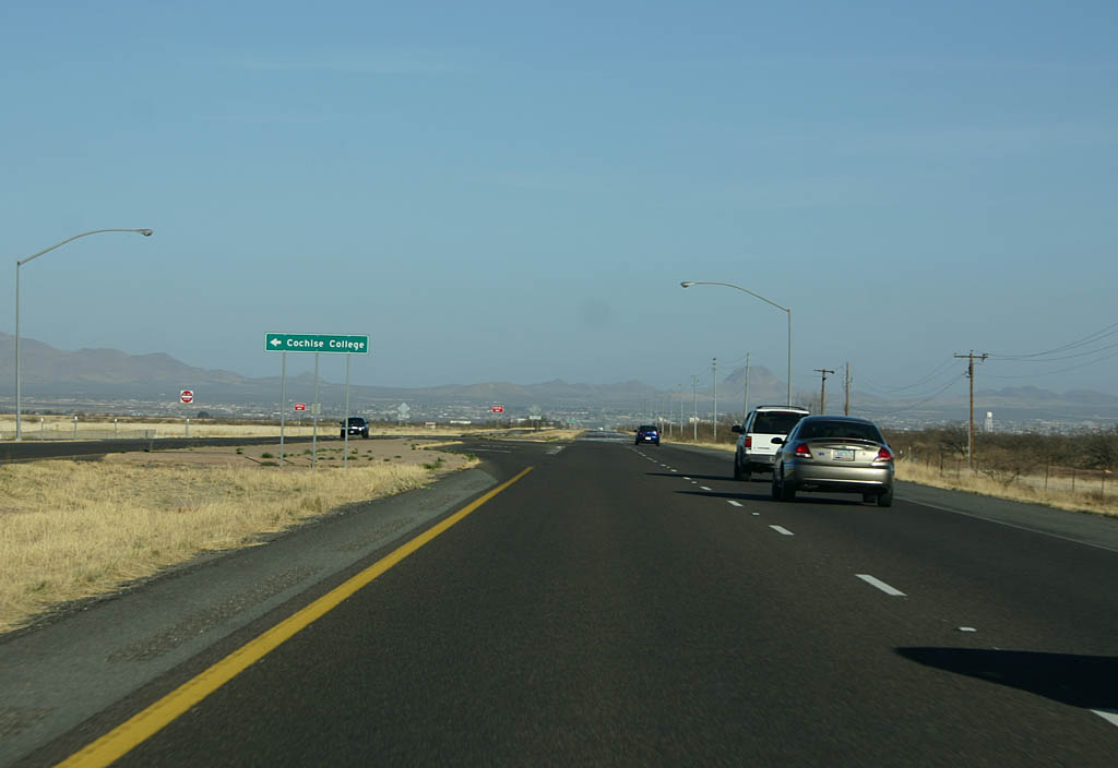
| Turn left for Cochise College. Cochise College is a community college serving
the Bisbee/Douglas area. 02/28/09 |
|
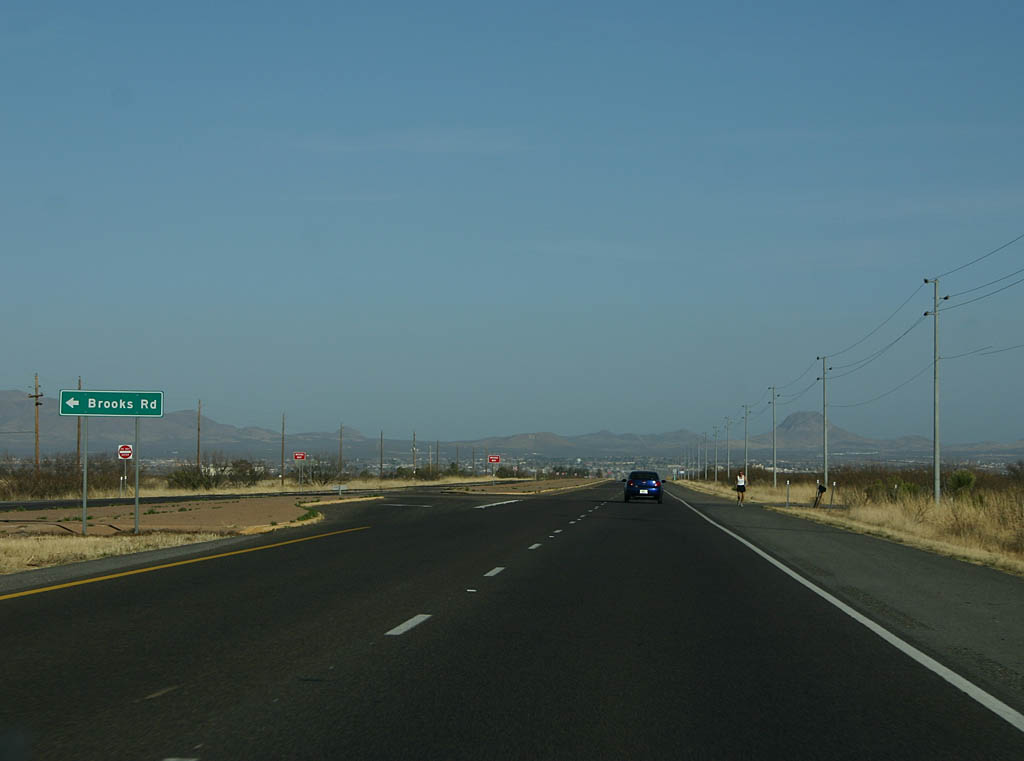
| Turn left for Brooks Road. The lack of right hand turns indicate Arizona
80's proximity to the border - the Mexican Border is less than a mile south
of the road. 02/28/09 |
|
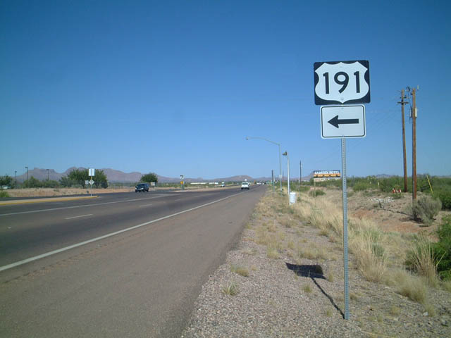
| Advance signage for U.S. 191 northbound, 1/2 mile. 02/28/09 |
|
| Turn left for Willcox via U.S. 191, or continue ahead on SR 80 to
Douglas. 02/28/09 |
|
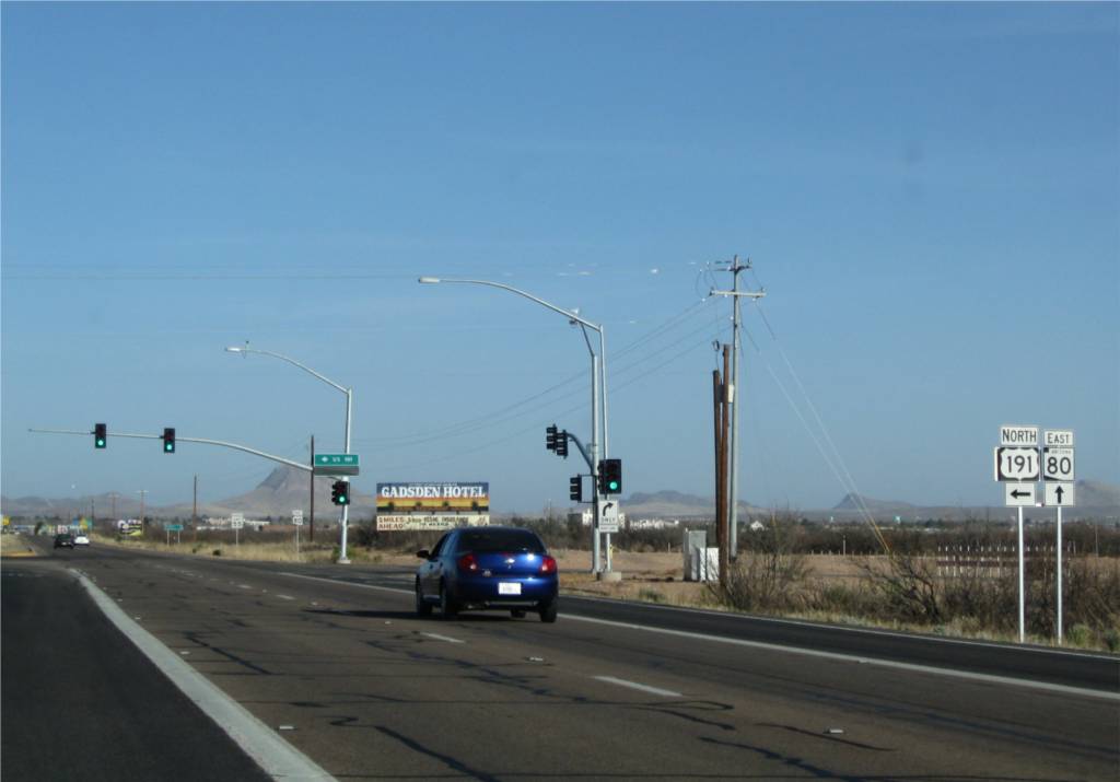
| Eastbound SR 80 approaching Junction Northbound U.S. 191. This is the southern terminus of transcontinental U.S. 191. However, between 1962 and 1972, U.S. 191 continued east on SR 80 to Douglas, and followed Pan American Boulevard (now Business U.S. 191) to the Mexican Border. First photo taken February 28, 2009. 05/24/03 |
|
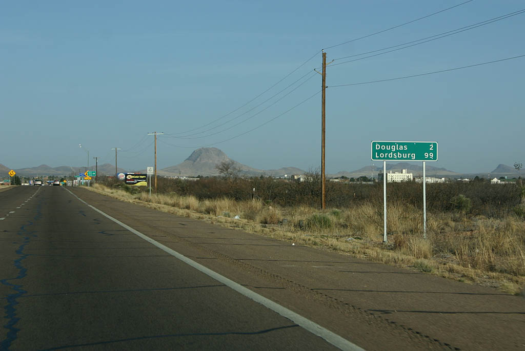
| Distance sign to Douglas (2 miles) and Lordsburg (99 miles). 02/28/09 |
|
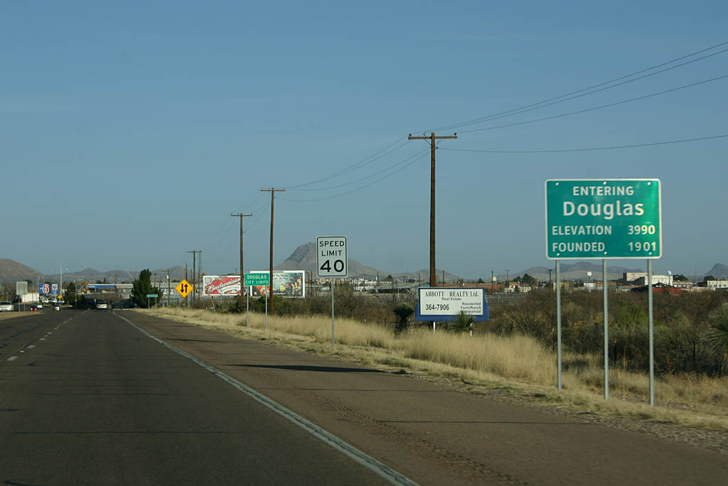
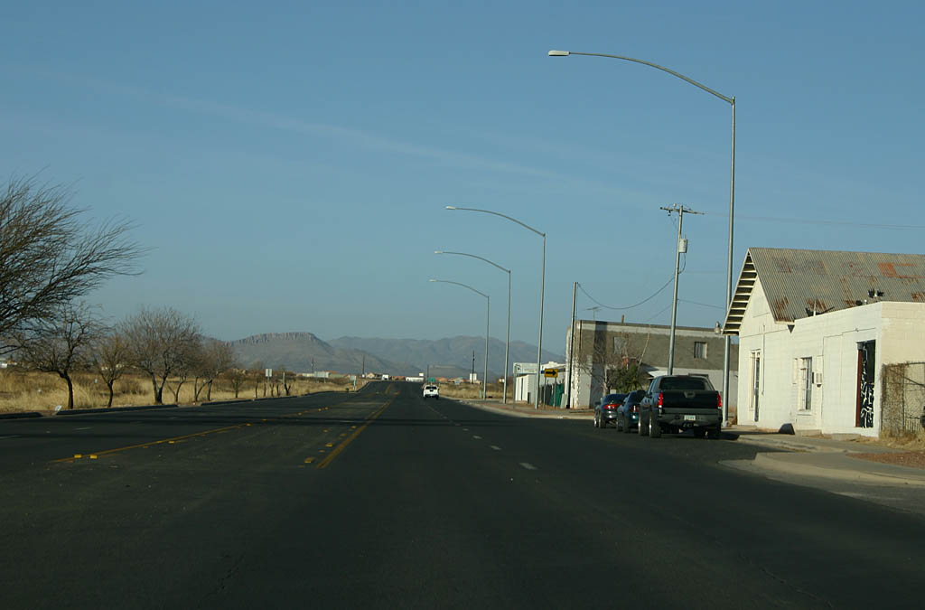
| SR 80 enters Douglas here. Douglas is a border town, named for a former
president of Phelps Dodge Mining Company. Two smelters were located here at
one time, both serving Bisbee, but the last one closed in 1987 and was demolished
in 1991. 02/28/09 |
|
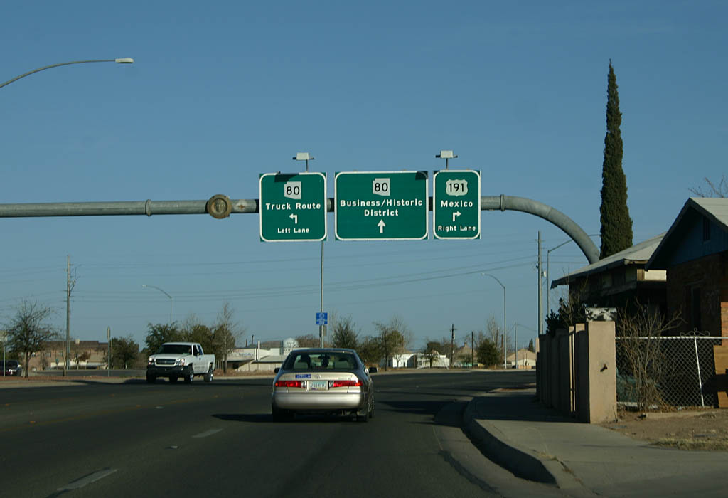
| Advance signage for SR 80 and Business 191. This section of road used
to pass under the railroad tracks, but was rebuilt in 2000. The road continuing
ahead is former SR 80, decommissioned in 2002. 02/28/09 |
|
| This is a typical view northbound on Pan American Avenue. Pan American Avenue
bypasses downtown Douglas and continues along the railroad tracks. 02/28/09 |
|
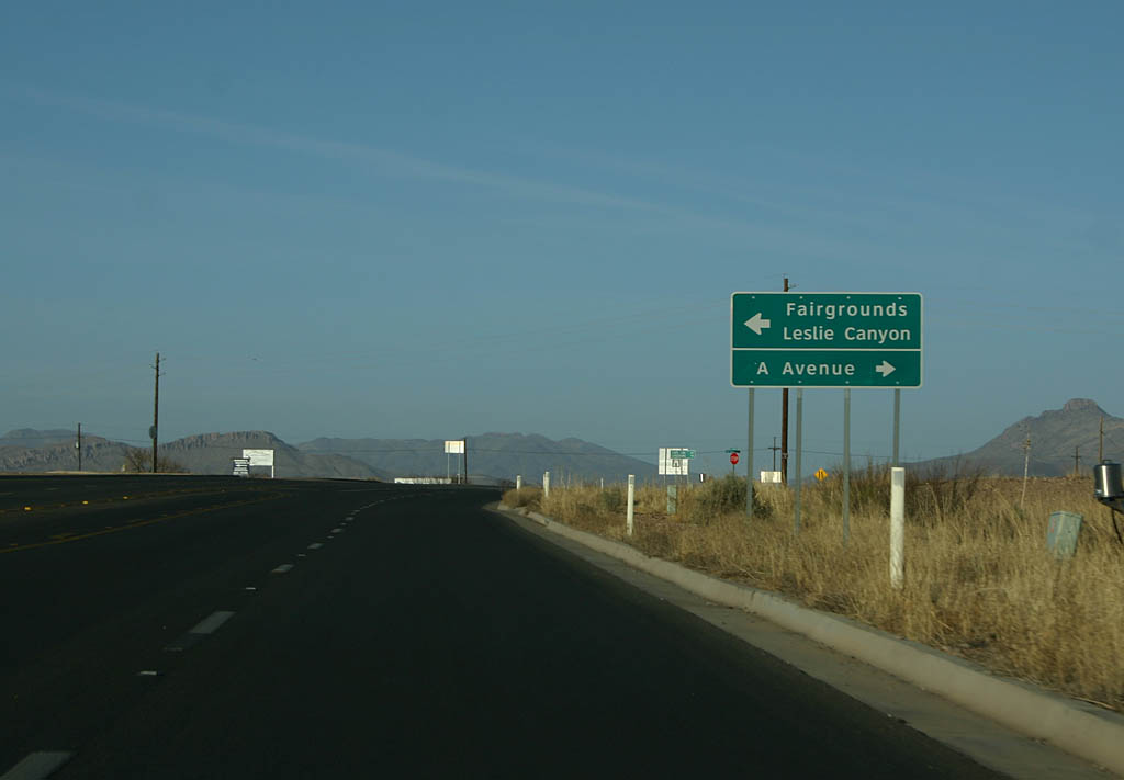
| Turn left for the Cochise County Fairgrounds, or turn right for A Avenue.
A Avenue is the northern extension of former SR 80 through downtown Douglas. 02/28/09 |
|
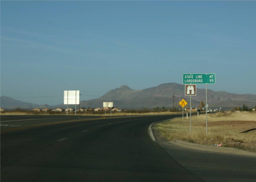
| Distance sign to the Arizona State Line (47 miles) and Lordsburg (95 miles).
There are no other towns of significance along SR 80 between Douglas and
Lordsburg. 02/28/09 |
|
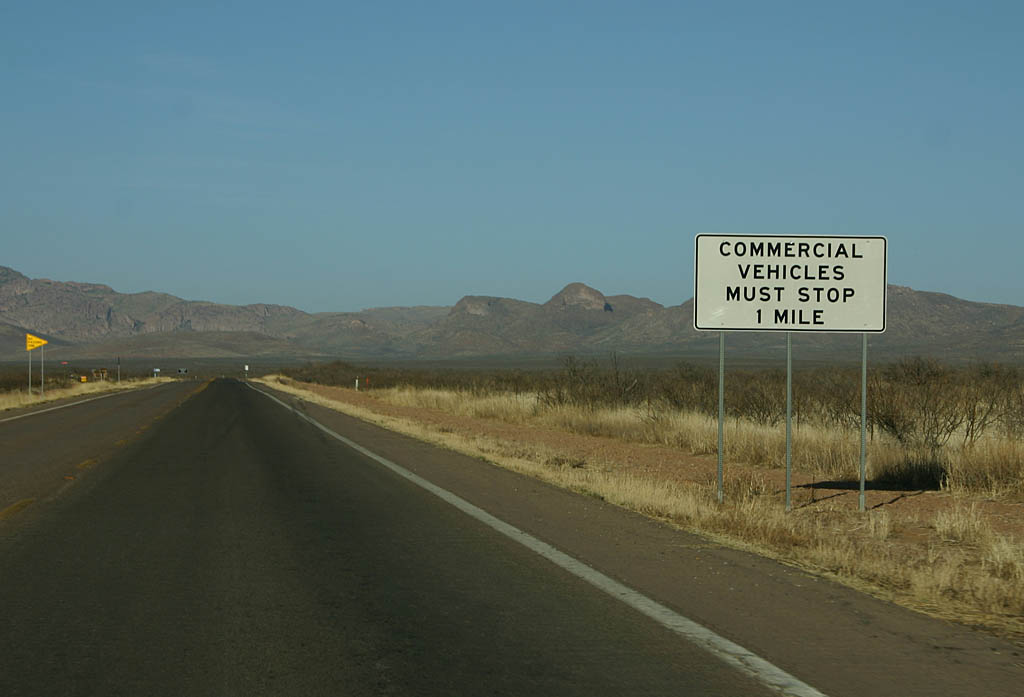
| Commercial vehicles must stop at the inspection station ahead, one mile. 02/28/09 |
|
| Reassurance marker for SR 80. 02/28/09 |
|
| This is the Arizona Port of Entry along SR 80. Traffic volumes do not
justify a large port of entry - this is similar to the one along U.S. 70 in
Duncan. 02/28/09 |
|
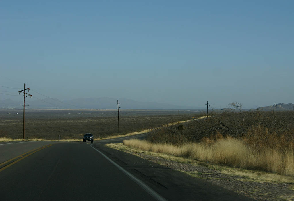
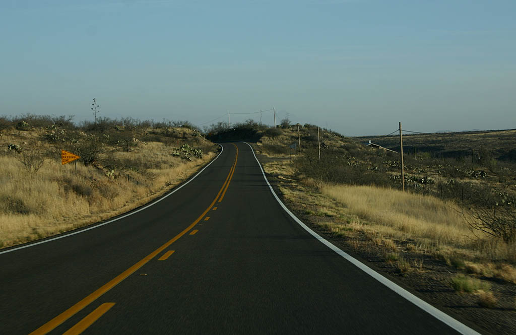
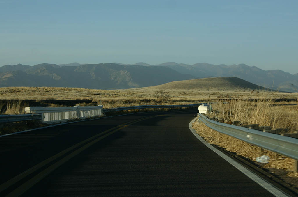
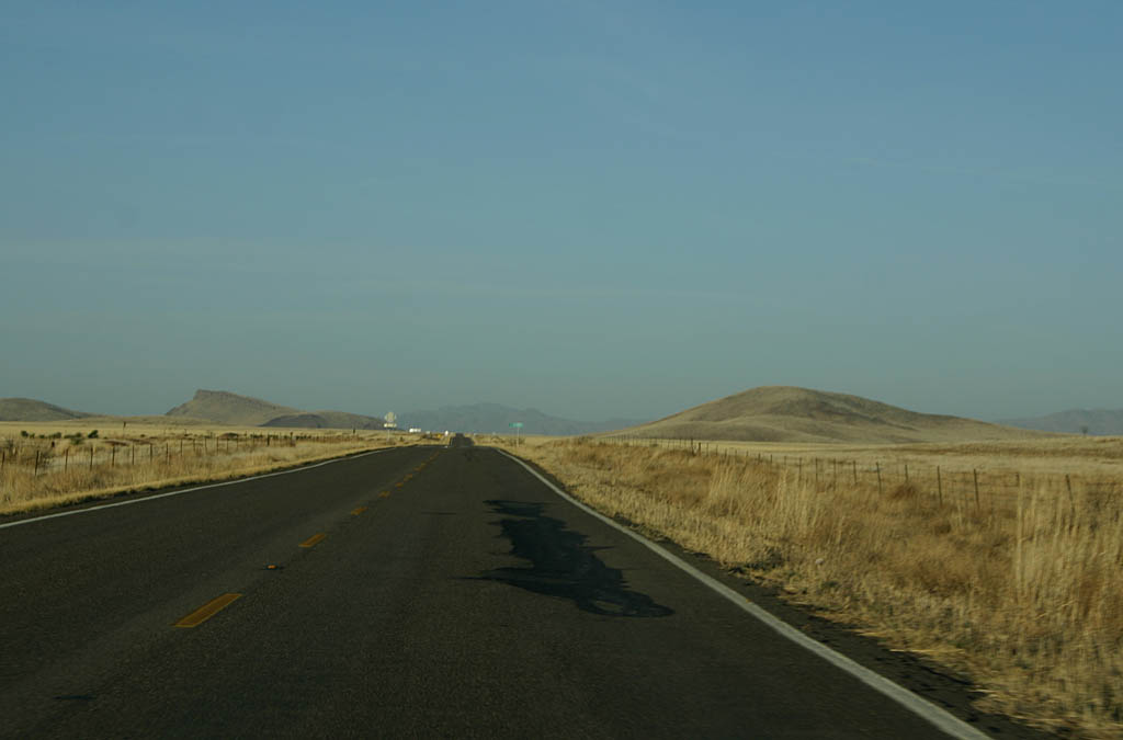
| SR 80 passes through lonely country between Douglas and Lordsburg. 02/28/09 |
|
| Distance sign to the Arizona State Line (37 miles) and Lordsburg (85 miles).
SR 80 is winding around College Peak to the right of the road. 02/28/09 |
|
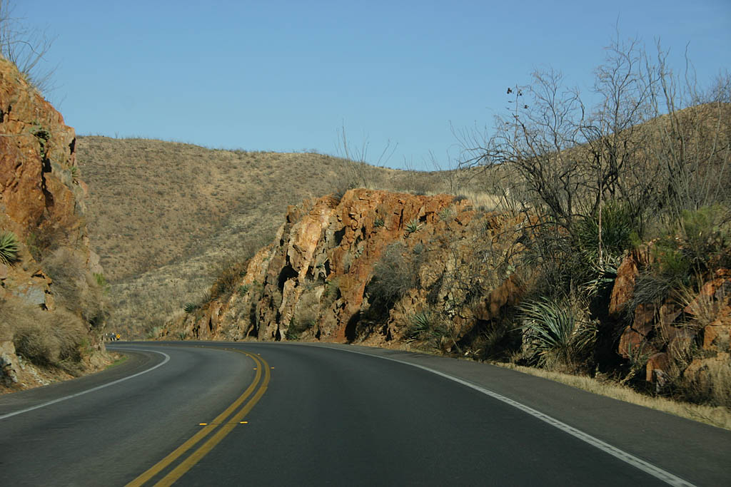
| SR 80 continues to traverse between mountains, following an old railroad
grade (now abandoned). This road is effectively the same as it was in 1928,
with pavement improvements. 02/28/09 |
|
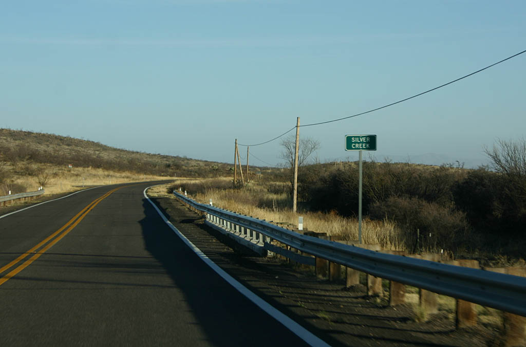
| SR 80 crosses Silver Creek on a 1930-vintage concrete bridge. Silver
Creek marks the boundary between the Perilla and Pedrigosa Mountain ranges.
SR 80 passes through the low gap between these two ranges, carved partially
by Silver Creek. 02/28/09 |
|
| SR 80 now enters the San Bernadino Valley. This is ranching country,
and is very sparsely populated. 02/28/09 |
|
| Reassurance marker for SR 80. Notice the lack of cardinal direction. 02/28/09 |
|
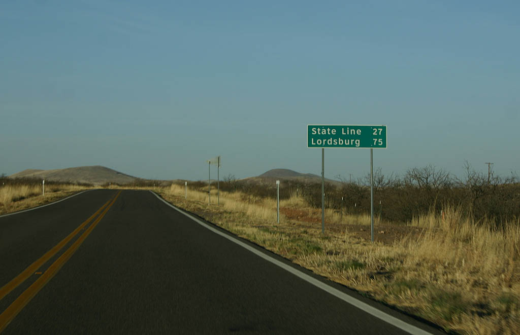
| Distance sign to the State Line (27 miles) and Lordsburg (75 miles). 02/28/09 |
|
| Continuing east, SR 80 continues across the San Bernadino Valley. 02/28/09 |
|
| This bridge over a dry wash is of unknown vintage, but probably dates back
to the original construction between 1928 and 1930. 02/28/09 |
|
| Reassurance marker for SR 80 northbound. The northbound direction has
more reassurance markers than the southbound direction. 02/28/09 |
|
| SR 80 now enters the San Simon Valley. This valley goes all the
way north to Interstate 10 and San Simon. 02/28/09 |
|
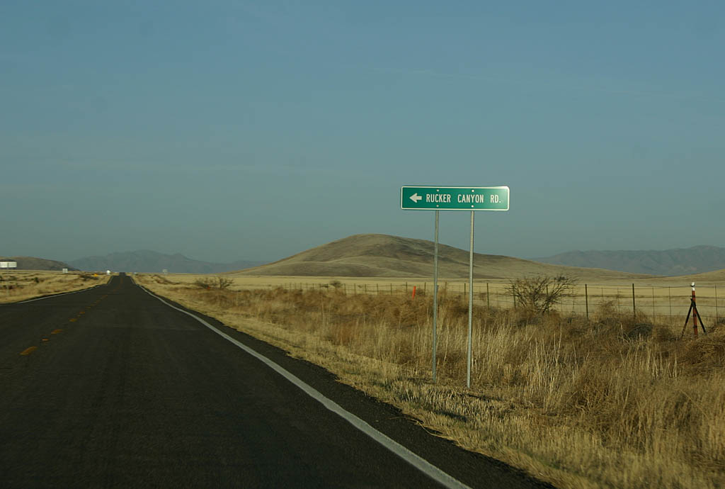
| SR 80 meets Rucker Canyon Road here. 02/28/09 |
|
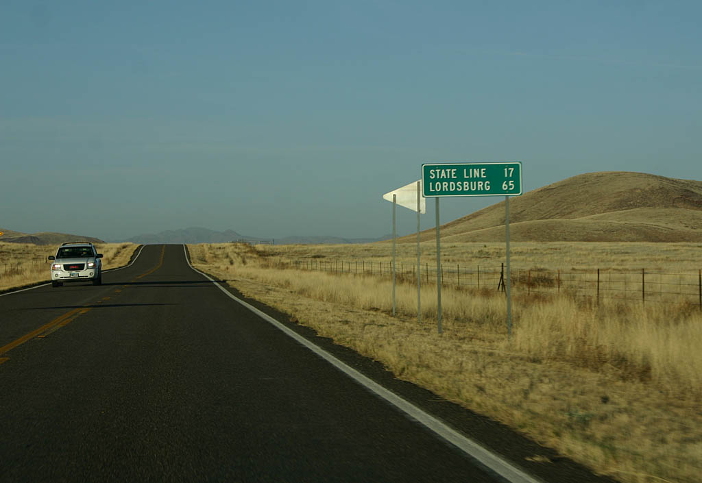
| Distance sign to the State Line (17 miles) and Lordsburg (65 miles). 02/28/09 |
|
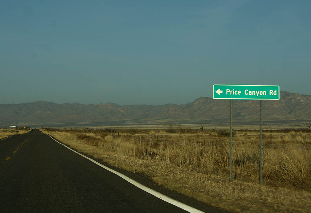
| SR 80 meets Price Canyon Road here. 02/28/09 |
|
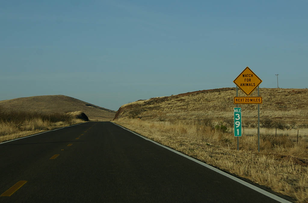
| All of the bridges along this section of SR 80 between Silver Creek
and New Mexico are still the original bridges from the construction of this
highway. 02/28/09 |
|
| Reassurance marker for SR 80. This marker has no cardinal direction
attached to it. 02/28/09 |
|
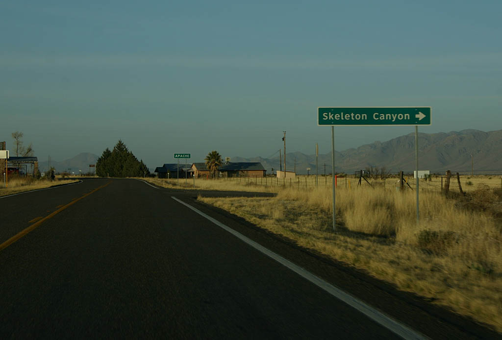
| Turn right for Skeleton Canyon. Skeleton Canyon is named because of a battle
between settlers and Mexcian Smugglers. The bodies were left to lie for many
years where they fell, leading to the name of the canyon. 02/28/09 |
|
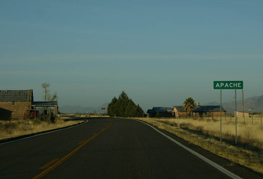
| SR 80 enters the town of Apache here. The town was named to remember
the Apache Indians who lived in this area. 02/28/09 |
|
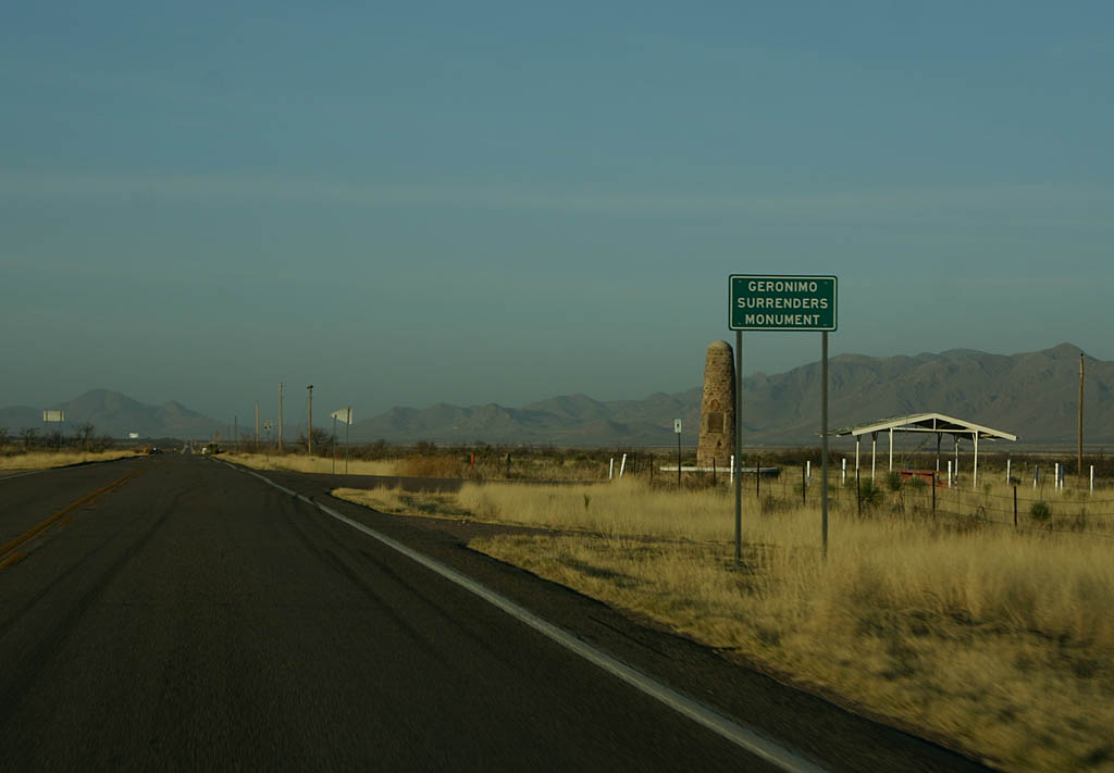
| The Geronimo Monument was dedicated on April 29, 1934, and commemorates
the nearby surrender of Geronimo (in Skeleton Canyon) in 1886. 02/28/09 |
|
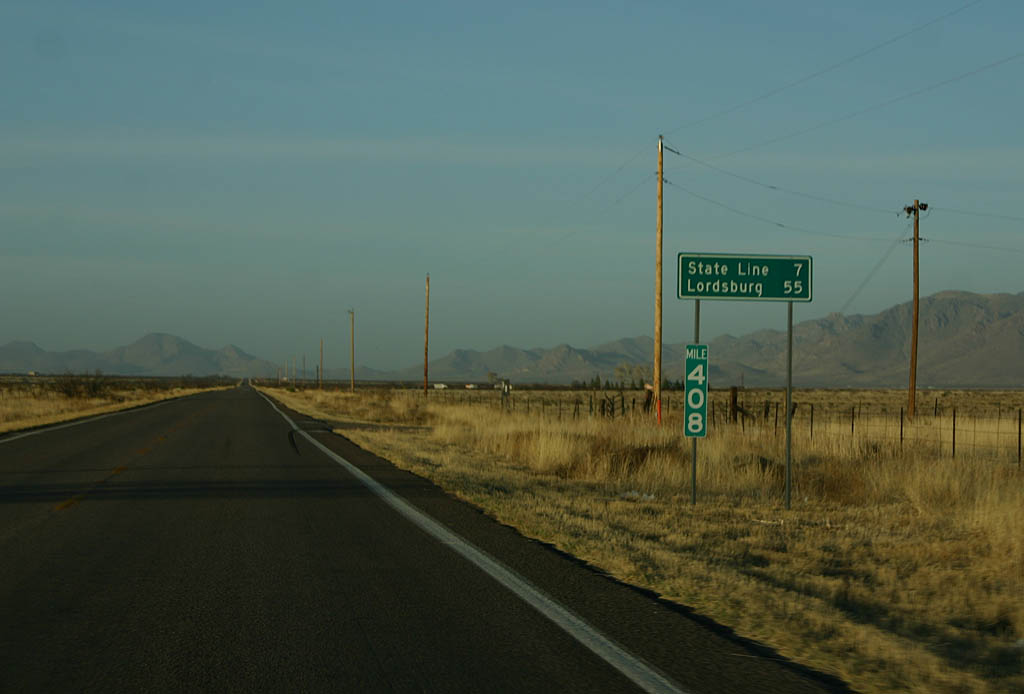
| Distance sign to the Arizona State Line (7 miles) and Lordsburg (55 miles). 02/28/09 |
|
| This is the last reassurance marker along SR 80 eastbound before entering
New Mexico. 02/28/09 |
|
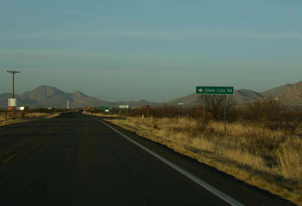
| Turn left for the aptly named State Line Road. 02/28/09 |
|
| SR 80 crosses into New Mexico here. It is another 21 miles to Interstate
10 from this point (to Road Forks, NM). 02/28/09 |
|
| View of historical eastbound U.S. 80 over Bisbee Pass. Modern Arizona
80 passes through the Bisbee Tunnel, several hundred feet below this point. 05/24/03 |
|
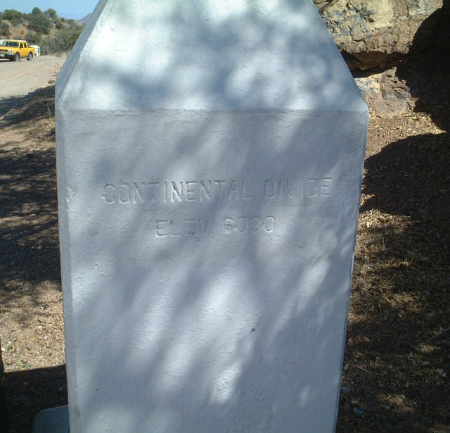
| This marker, located on the west side of old U.S. 80 at the apex of its
climb over Bisbee Pass, shows the elevation (6,080 feet) and considers
this to be a "continental divide." It is not, however, the main Continental
Divide that separates the Atlantic and Pacific watersheds. 05/24/03 |
|
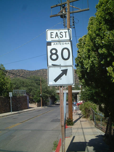
| View of eastbound SR 80 shield as seen from old U.S. 80 in Bisbee. 05/24/03 |
|
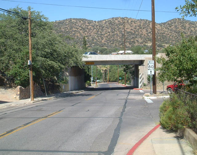
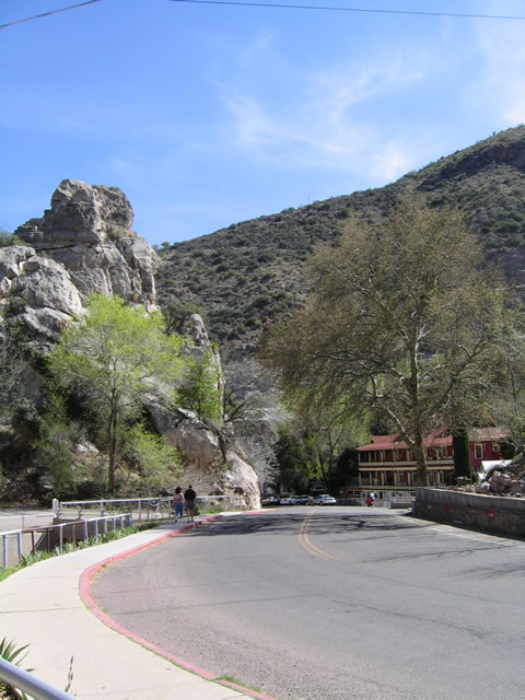
| Old U.S. 80 meets modern SR 80 at this tight interchange at the
base of the grade from Bisbee Pass. The ramp to the right leads to eastbound,
while the next turn after the bridge leads to westbound SR 80. 05/24/03 |
|
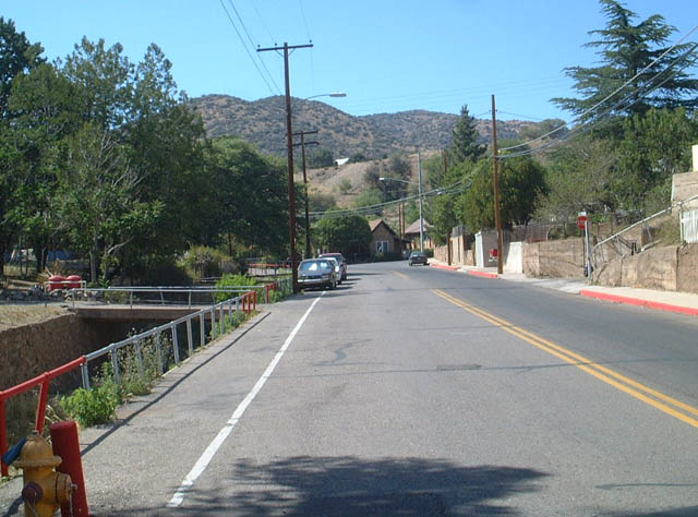
| Old U.S. 80 avoids the modern highway as it meanders through old-town
Bisbee. A canal carries water in cases of flash floods and other rain events
in this narrow canyon. 05/24/03 |
|
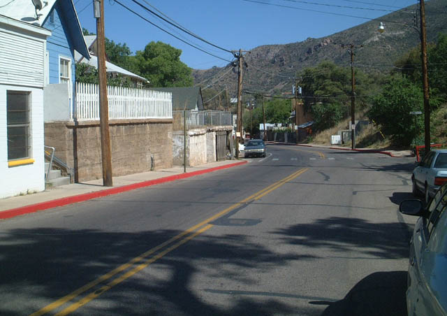
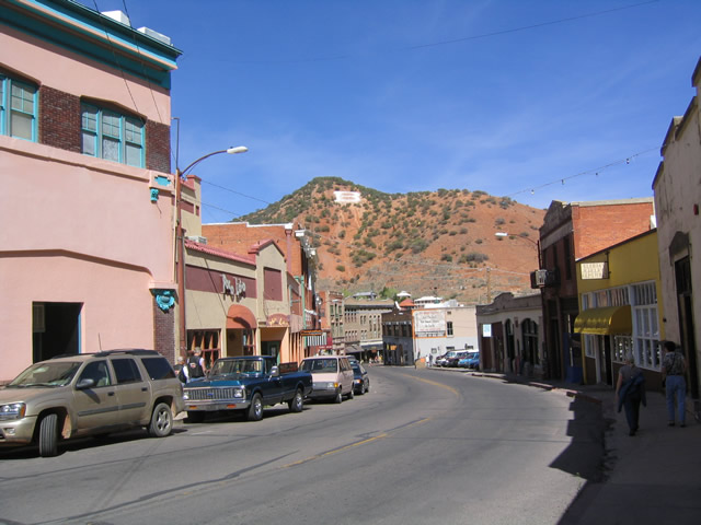
| Eastbound Old U.S. 80 passes by several houses as it passes through Bisbee.
Notably, there are not many chain establishments (restaurants, fuel stations,
etc.) in this part of town; much of the town is purposefully kept older. 05/24/03 |
|
| Most of the old route descends as it heads east through the old town
of Bisbee. 03/26/04 |
|
| In several locations, street signs are painted onto the buildings due
to the lack of space. An example is this one way sign painted onto the
side of a building. 03/26/04 |
|
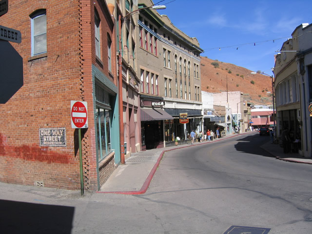
| Shops, such as antique stores, furniture stores, art galleries, coffee
shops, and more are closely spaced along the old road as it passes through
the downtown section of Bisbee. 03/26/04 |
|
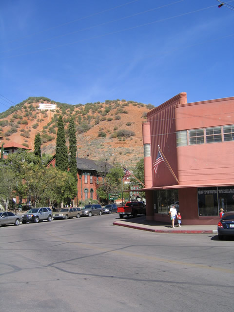
| View of the giant "B" located on the side of the hill as seen from the
old route. Note the pink, art deco building located here; the highway runs
around it in a jog. 03/26/04 |
|
| The old road reaches SR 80 after passing by the Copper Queen Hotel
and mining museum (which is a branch of the Smithsonian). 03/26/04 |
Page Updated 08-23-2009.