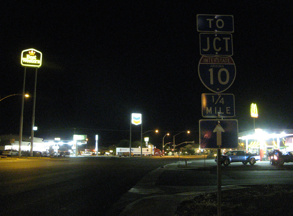
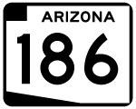
Arizona State Route 186 begins at I-10/U.S. 191 along Rex Allen Drive in Willcox. Following a 0.71 mile long overlap with Business Loop I-10 (Haskell Avenue) into Downtown, SR 186 turns southeast along Maley Street.
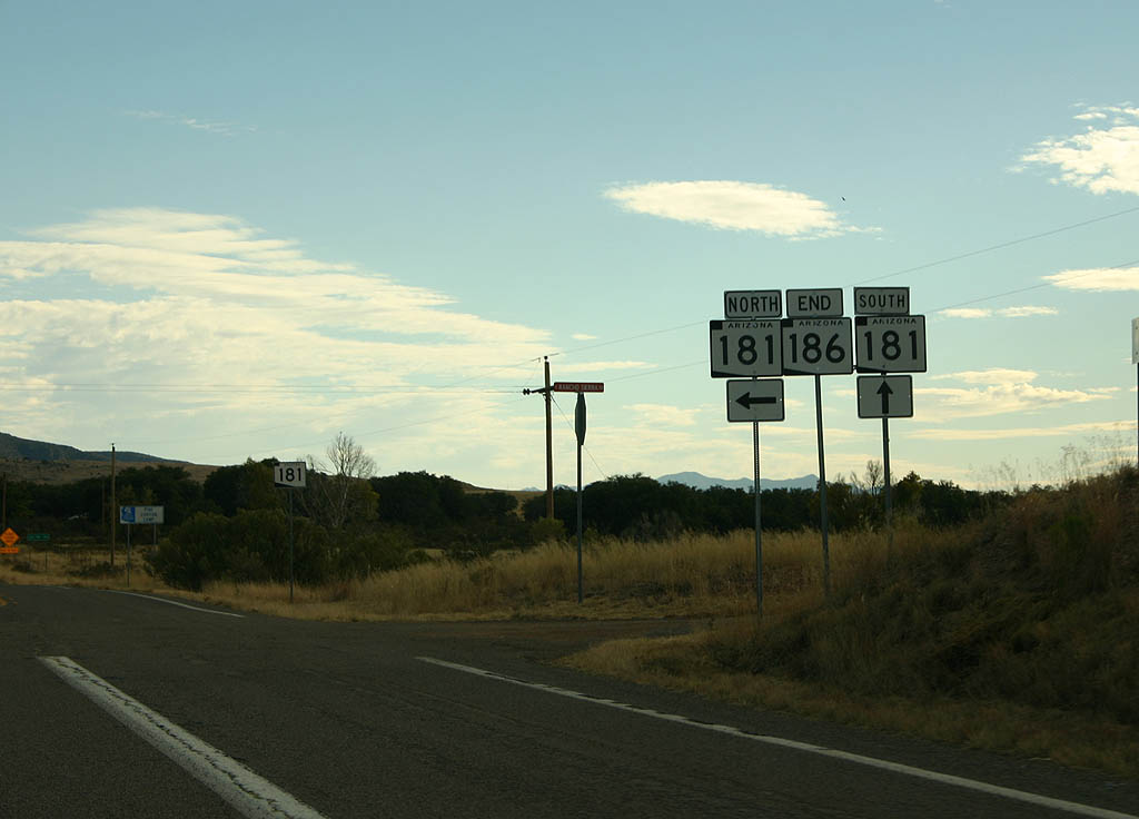
Traversing open desert across Sulphur Springs Valley, SR 186 travels southeast to Dos Cabezas. The state route concludes at SR 181 west of Chiricahua National Monument and the Chiricahua Mountains. SR 186 was added to the state highway system in 1956.
|
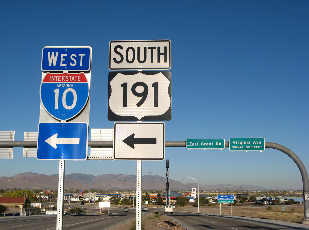
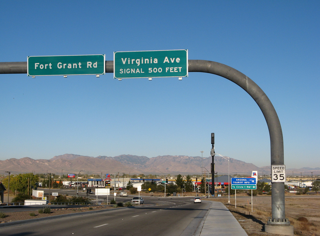
| Fort Grant Road heads east into the city of Willcox just ahead of Virginia Avenue and the diamond interchange joining SR 186 with I-10/U.S. 191. 11/11/07 |
|
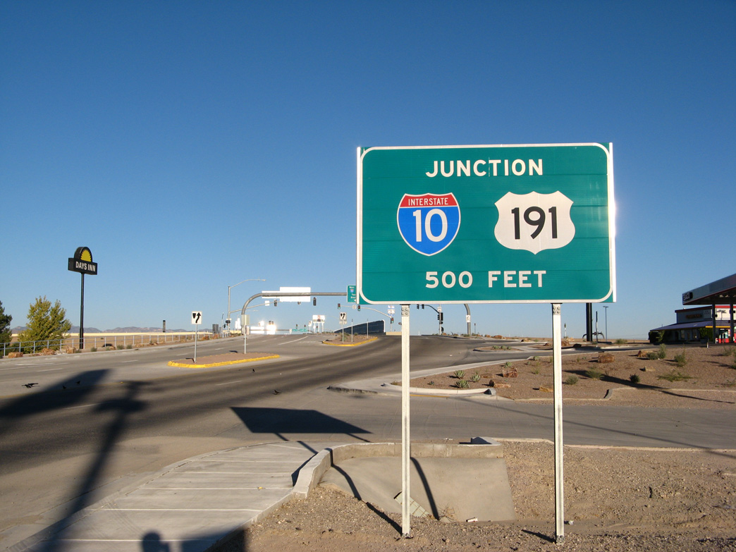
| Originating at Douglas, U.S. 191 travels north through the Sulphur Springs Valley to combine with Interstate 10 east through Willcox. 11/11/07 |
|
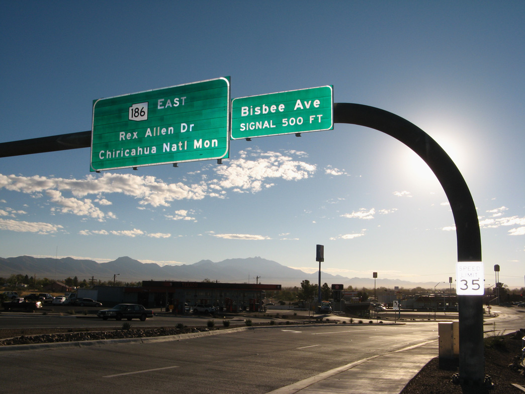
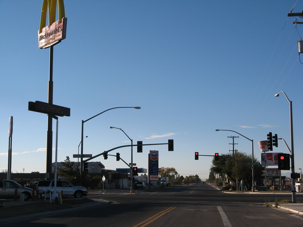
| SR 186 commences along Rex Allen Drive east into a commercial strip at Bisbee Avenue. 11/11/07 |
|
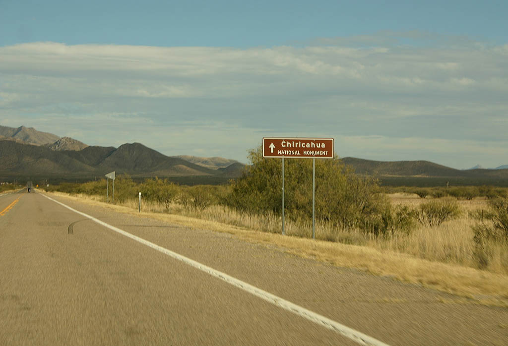
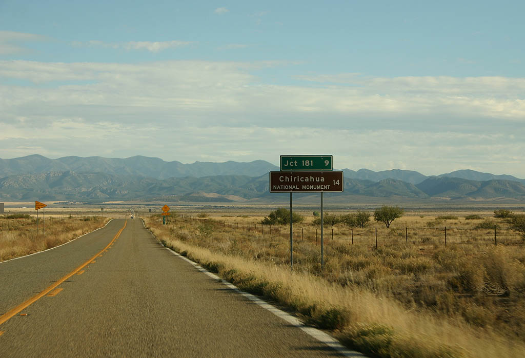
| Leaving the city of Willcox, SR 186 travels 14 miles to Dos Cabezas and 30.5 miles to SR 181 east for Chiricahua National Monument. 11/10/07 |
|
| SR 186 turns east at Kansas Settlement Road. The primary destination of SR 186 remains Chiricahua National Monument. 11/10/07 |
|
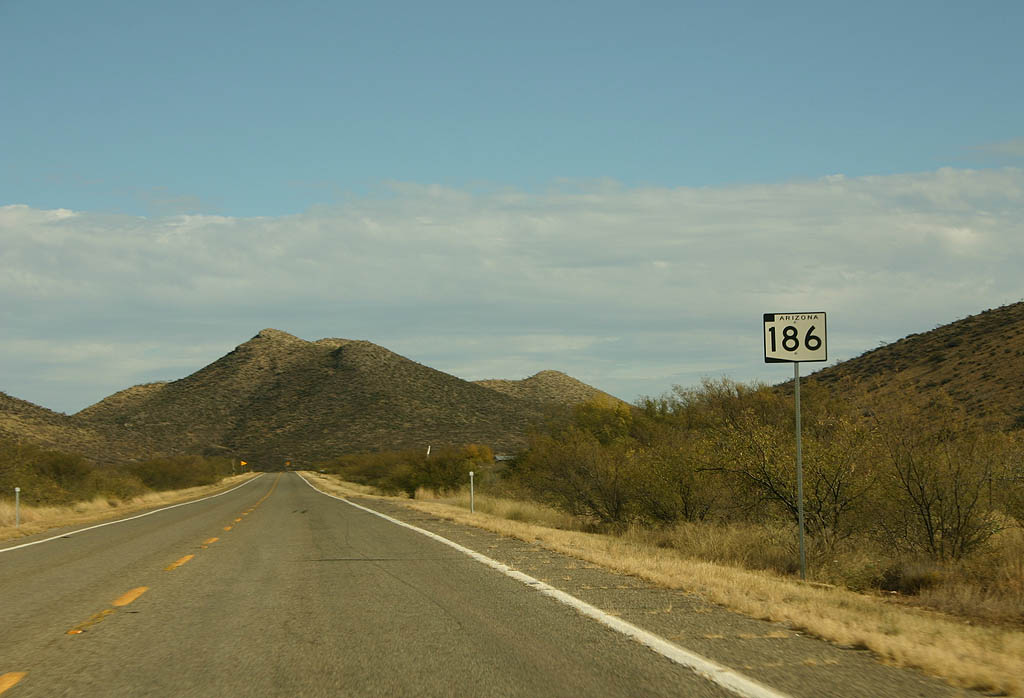
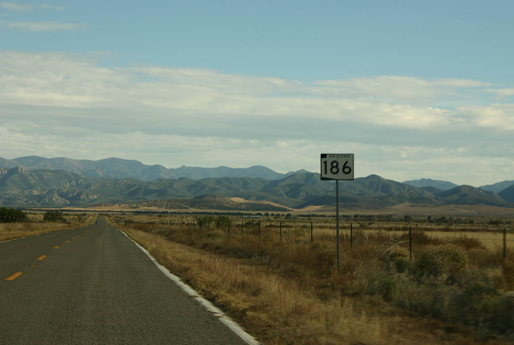
| Reassurance marker for SR 186 posted near milepost 339. 11/10/07 |
|
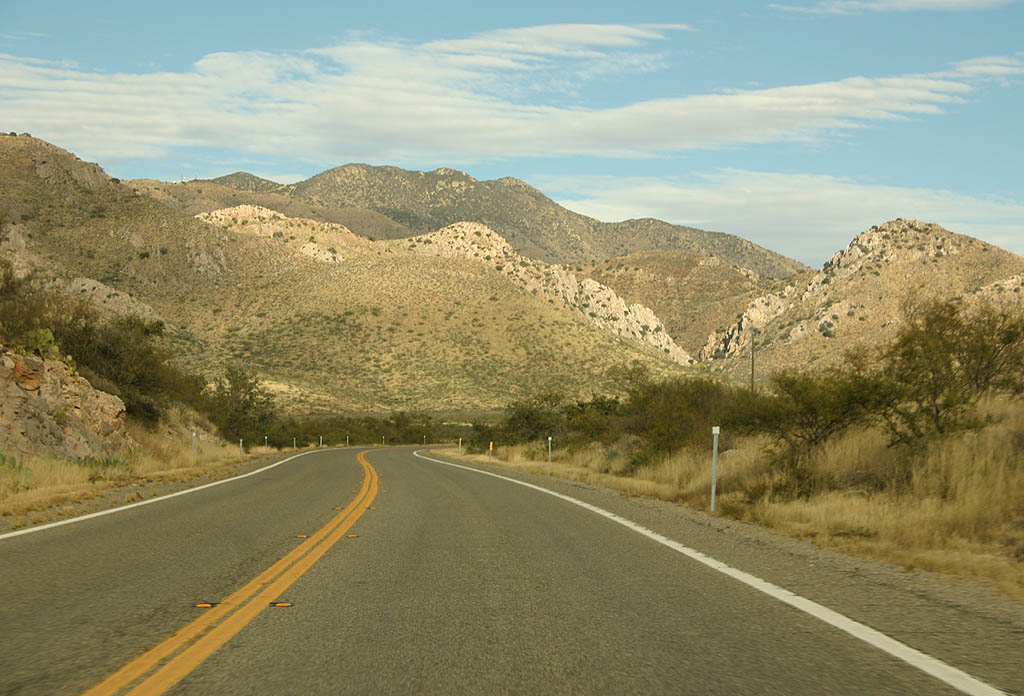
| SR 186 gains 1,000 feet in elevation southeast from Willcox into western reaches of the Dos Cabezas Mountains. 11/10/07 |
|
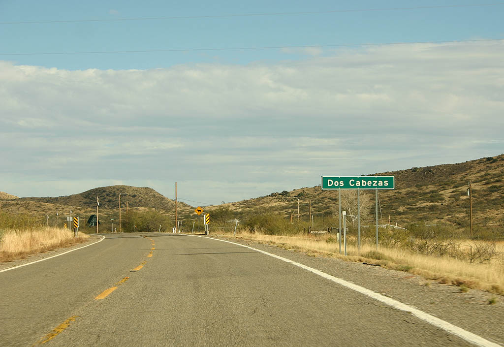
| SR 186 passes through the rural community of Dos Cabezas. 11/10/07 |
|
| SR 186 turns more southerly from Dos Cabezas toward Chiricahua National Monument. 11/10/07 |
|
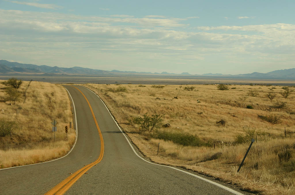
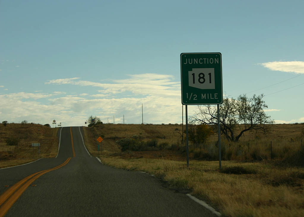
| SR 186 progresses across grasslands, Ideal Draw, Mogul Draw and Cienega Draw to SR 181. 11/10/07 |
|
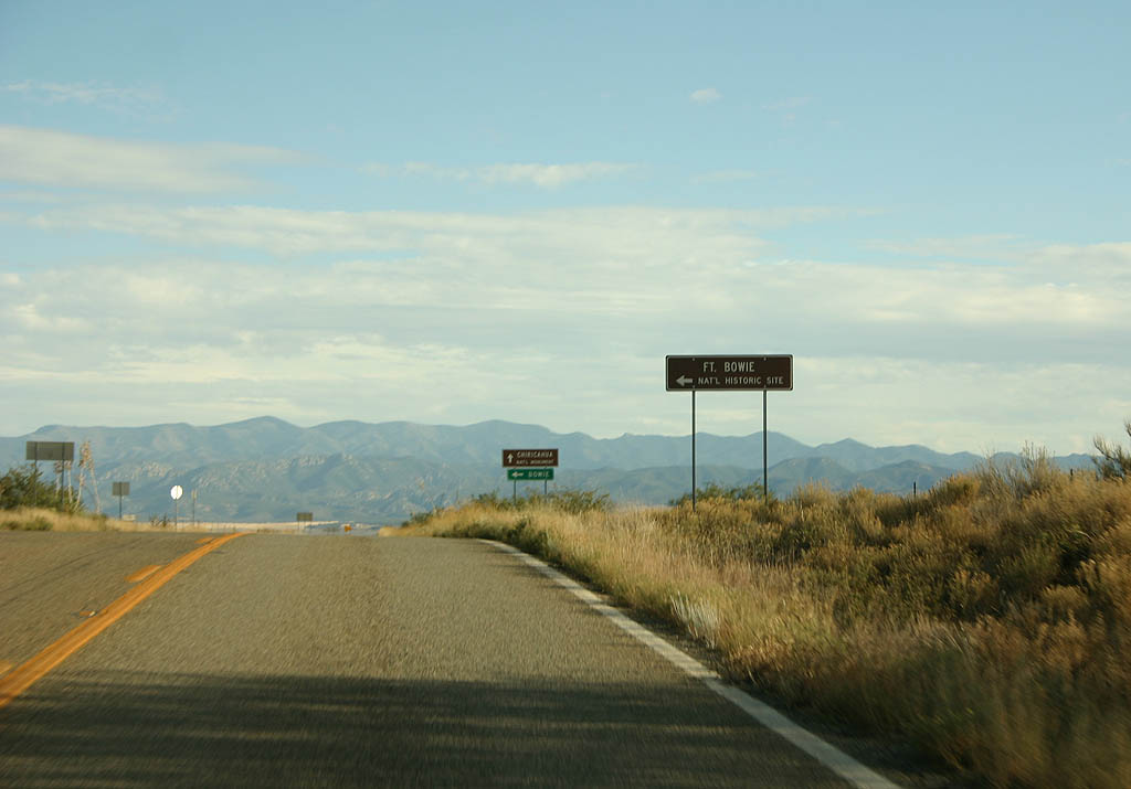
| Apache Pass Road runs 6.04 miles northeast to Fort Bowie National Historic Site. Fort Bowie preserves the remains of a mid-19th century Army fort. 11/10/07 |
|
| Apache Pass Road is unpaved until passing Fort Bowie National Historic Site. The road extends 21.03 miles northeast to Business Loop I-10 in Bowie. 11/10/07 |
|
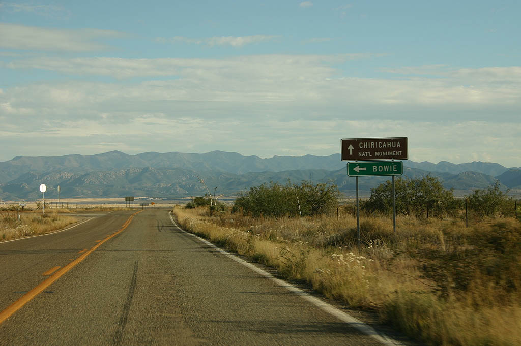
| SR 186 continues nine miles from Apache Pass Road to SR 181. 11/10/07 |
|
| The final reassurance marker along SR 186 eastbound. 11/10/07 |
|
| SR 186 meets SR 181 in a half mile beyond Pinery Creek. 11/10/07 |
|
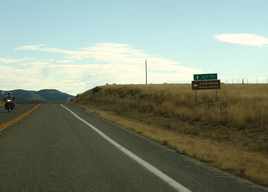
| Northbound SR 181 spurs 2.99 miles east to Chiricahua National Monument. SR 181 runs 22.79 miles southwest from SR 186 to U.S. 191. 11/10/07 |
|
| SR 186 east concludes with an end shield at SR 181. 11/10/07 |
|
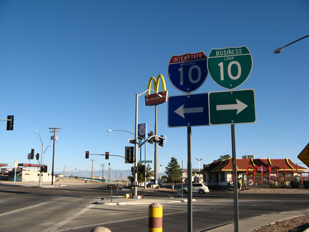
| SR 186 enters Willcox along Maley Street from the southeast. The state route combines with Business Loop I-10 (Haskell Avenue) north for 0.71 miles. 11/10/07 |
|
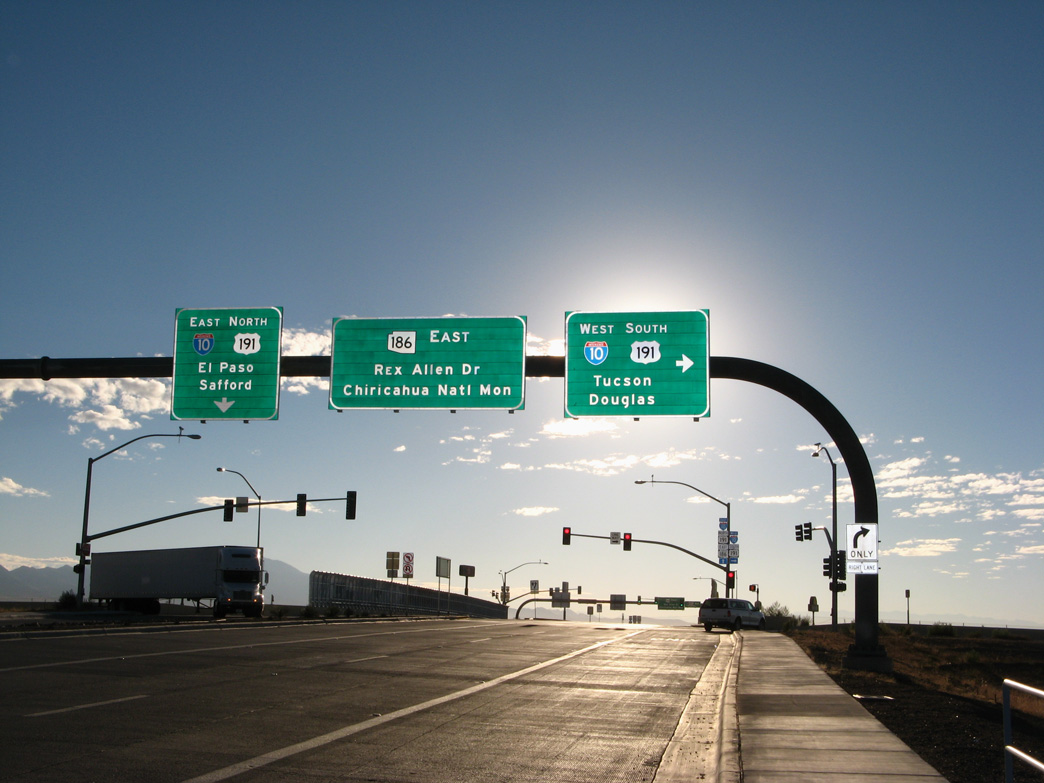
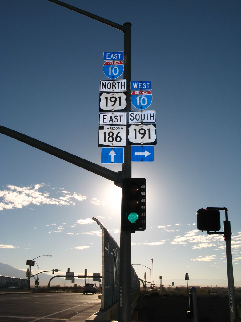
| SR 186 lines Rex Allen Drive west from Business Loop I-10 to a diamond interchange with I-10/U.S. 191 a quarter mile beyond Cochise Avenue. 11/10/07 |
|
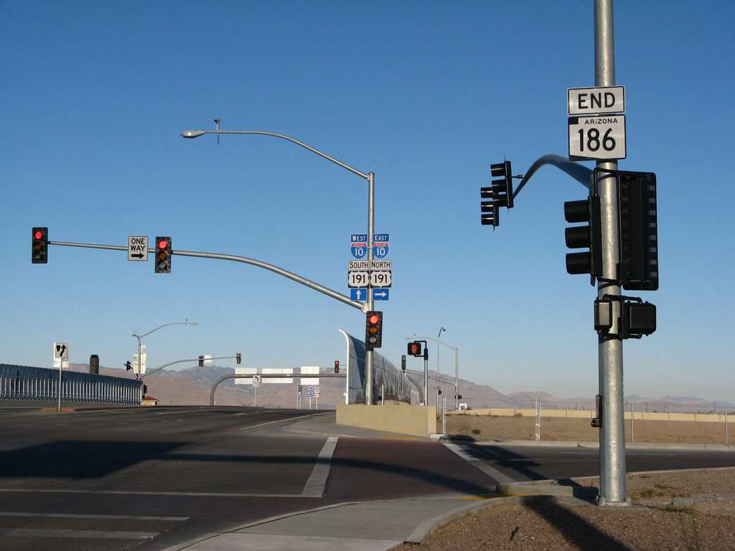
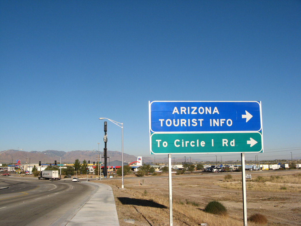
| The exchange joining SR 186 with I-10/U.S. 191 was rebuilt in 2007. 11/11/07 |
|
| Interstate 10 passes north of the Dos Cabezas Mountains east to Bowie in the San Simon Valley. 11/11/07 |
|
| An end shield for SR 186 appears at the eastbound entrance ramp for I-10/U.S. 191. 11/11/07 |
|
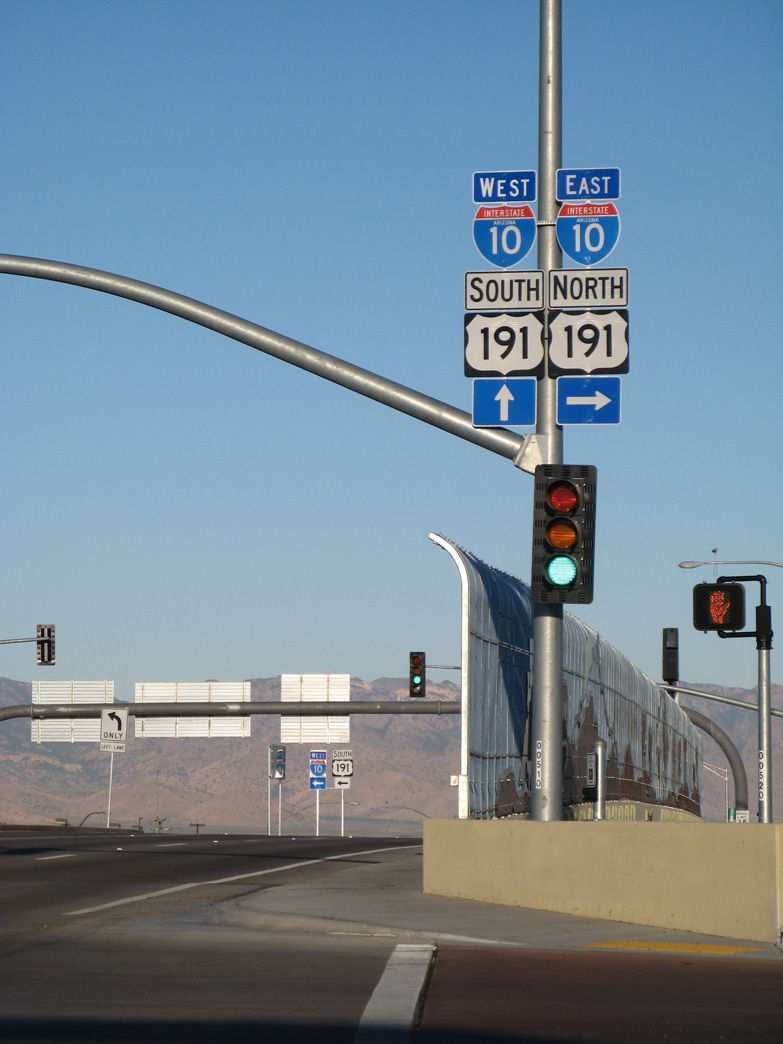
| U.S. 191 splits with I-10 east in 11.8 miles for Safford and Springerville. 11/11/07 |
|
| I-10/U.S. 191 overlap 8.9 miles southwest from SR 186 to Exit 331 near Willcox Playa. 11/11/07 |
|
| Fort Grant Road extends from SR 186 along a stair stepped alignment north to SR 266 (Bonita Aravaipa Road) at Bonita. 11/11/07 |
|
| Virginia Avenue intersects Fort Grant Road just beyond the end of SR 186. 11/11/07 |
|
| Bisbee Avenue south at SR 186 (Rex Allen Drive) in Willcox. 11/11/07 |
|
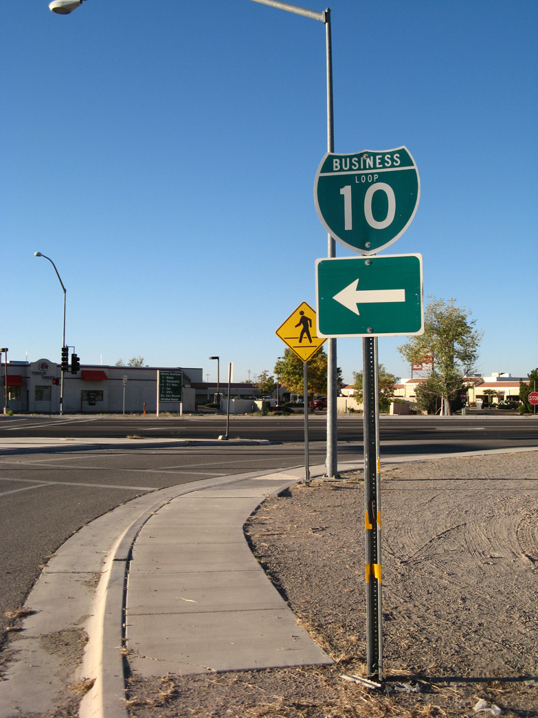
| SR 186 east combines with Business Loop I-10 along Haskell Avenue east of Bisbee Avenue en route to Downtown Willcox. 11/11/07 |
|
| Bisbee Avenue north at SR 186 (Rex Allen Drive). 11/11/07 |
Page Updated 04-07-2022.

 East
East