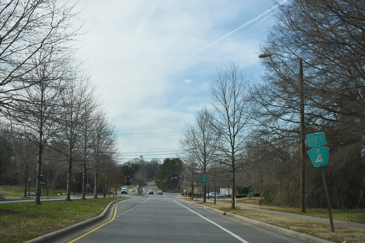
Charlotte Route 4 is a 18.7 mile long belt route within the city of Charlotte. Following a combination of Sugar Creek Road, Eastway Drive, Wendover Road, Runnymeade Lane, Woodlawn Road and Billy Graham Parkway, Route 4 forms a loop to the south of Interstate 85. I-85 in between Billy Graham Parkway and Sugar Creek Road is the implied northern quadrant of the loop.
Route 4 arose from an idea in the 1960 Charlotte-Mecklenburg Master Thoroughfare plan for the city of Charlotte.1 The original route was a collection of two lane streets forming a 28 mile long loop roughly along the Charlotte city limits in the 1960s. Rather than renaming all of the streets forming the belt route, it was designated as Route 4 in the late 1970s.2 The number was selected because it was encircling uptown along a roughly four mile radius.1
Streets along the course of Route 4 were widened or extended to complete the loop. This included the elimination of a five way intersection at Commonwealth Avenue, Eastway Drive and Independence Boulevard.2 A rejected proposal for the loop was to run it through the golf course at Myers Park Country Club.1
|
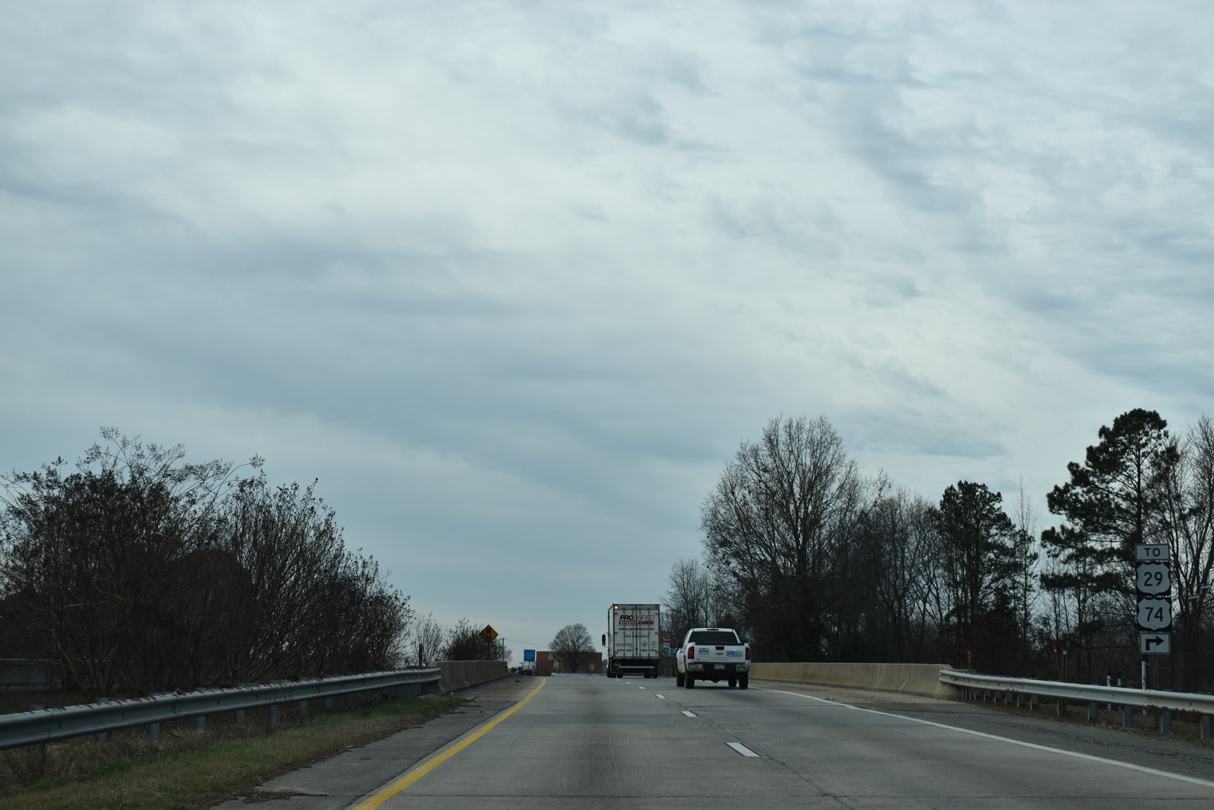
| Billy Graham Parkway (SR 5901) spans U.S. 29/74 (Wilkinson Boulevard) ahead of Boyer Street (SR 1656). Boyer Street links the two arterials. 01/17/19 |
|
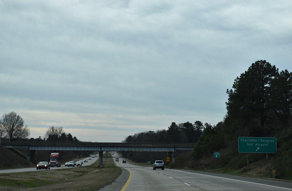
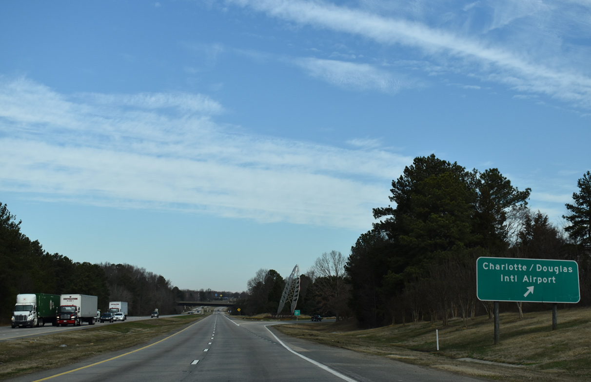
| A trumpet interchange joins Billy Graham Parkway (Charlotte Route 4) with Josh Birmingham Parkway (SR 1490) west to the passenger terminal of Charlotte Douglas International Airport (CLT). 01/17/19 |
|
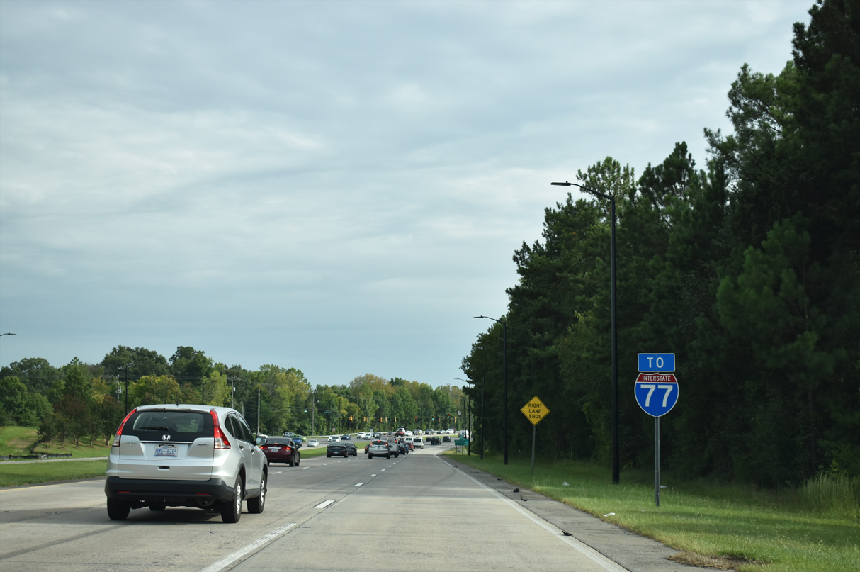
| Billy Graham Parkway connects Charlotte Douglas International Airport (CLT) with Interstate 77 south from Birmingham Parkway. 09/16/21 |
|
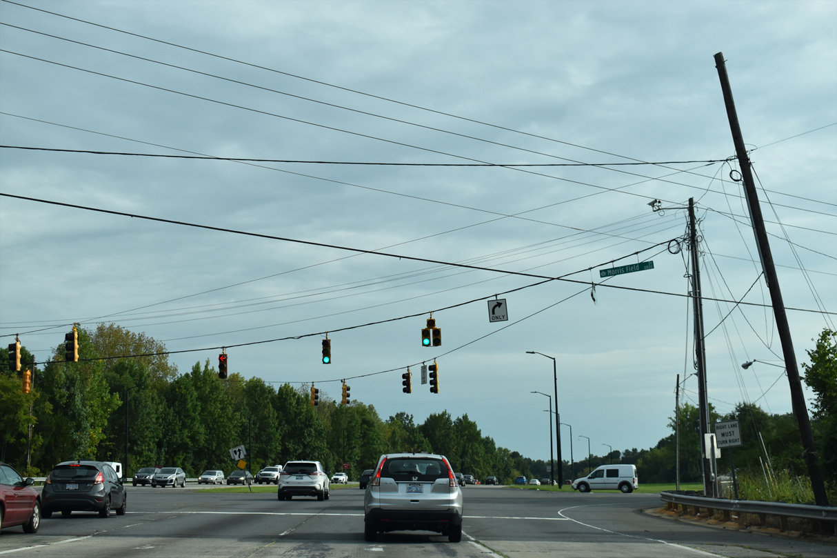
| Morris Field Drive angles northeast from Billy Graham Parkway to U.S. 29/74 (Wilkinson Boulevard) in the Westerly Hills neighborhood of Charlotte. 09/16/21 |
|
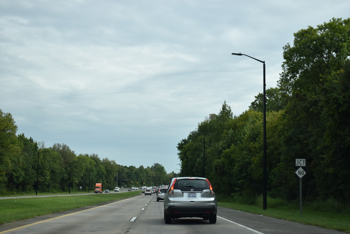
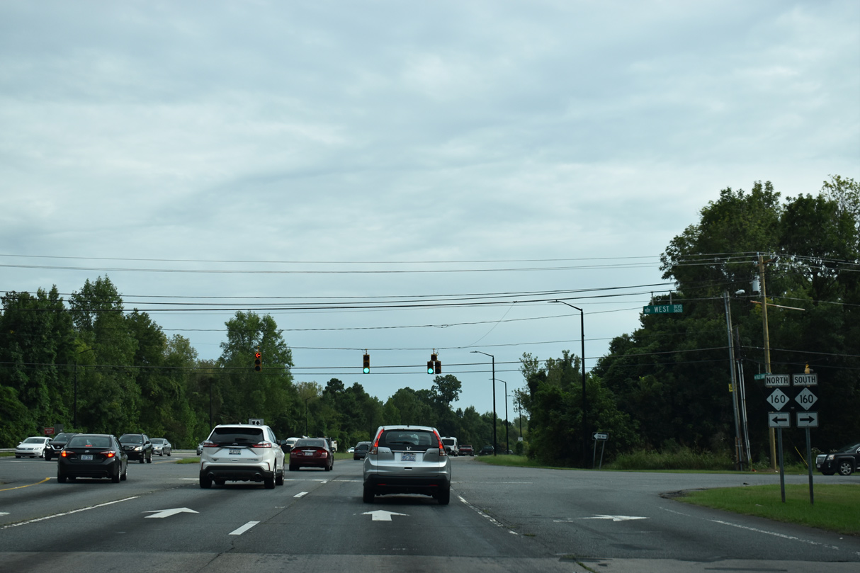
| NC 160 follows West Boulevard from the southwest to meet Billy Graham Parkway (Charlotte Route 4) next. 09/16/21 |
|
| Along with S.C. 160, NC 160 forms a semicircle between U.S. 521 at Indian Land and NC 49 in the South End neighborhood southwest of Uptown Charlotte. 09/16/21 |
|
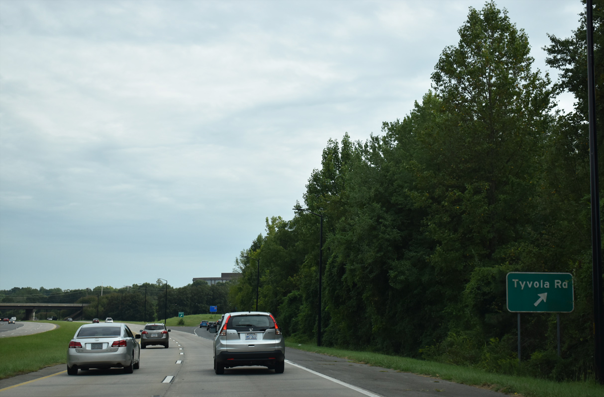
| Billy Graham Parkway advances south from NC 160 to a parclo interchange with Tyvola Road. Tyvola Road forms an L shaped route through western and Charlotte neighborhoods. 09/16/21 |
|
| Westmont Drive connects Billy Graham Parkway with the Billy Graham Library and grave site. 09/16/21 |
|
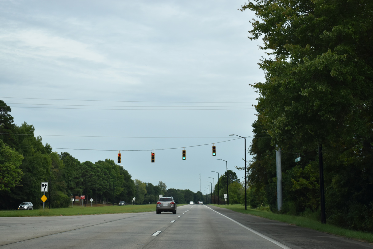
| Billy Graham Parkway rises over a Norfolk Southern railroad line ahead of NC 49 (S Tryon Street) to Interstate 77 north. 09/16/21 |
|
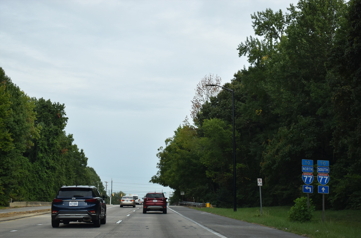
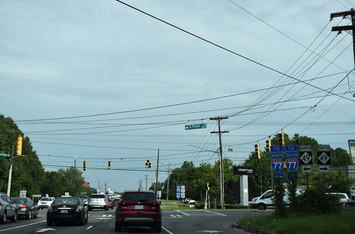
| NC 49 follows S Tryon Street northeast from S.C. 49 at Lake Wylie into Uptown Charlotte, meeting Billy Graham Parkway ahead of I-77. NC 49 north joins Billy Graham Parkway with I-77/U.S. 21 north to central Charlotte and Mooresville. 09/16/21 |
|
| A ramp to I-77/U.S. 21 south immediately follows the intersection with NC 49 (S Tryon Street). 09/16/21 |
|
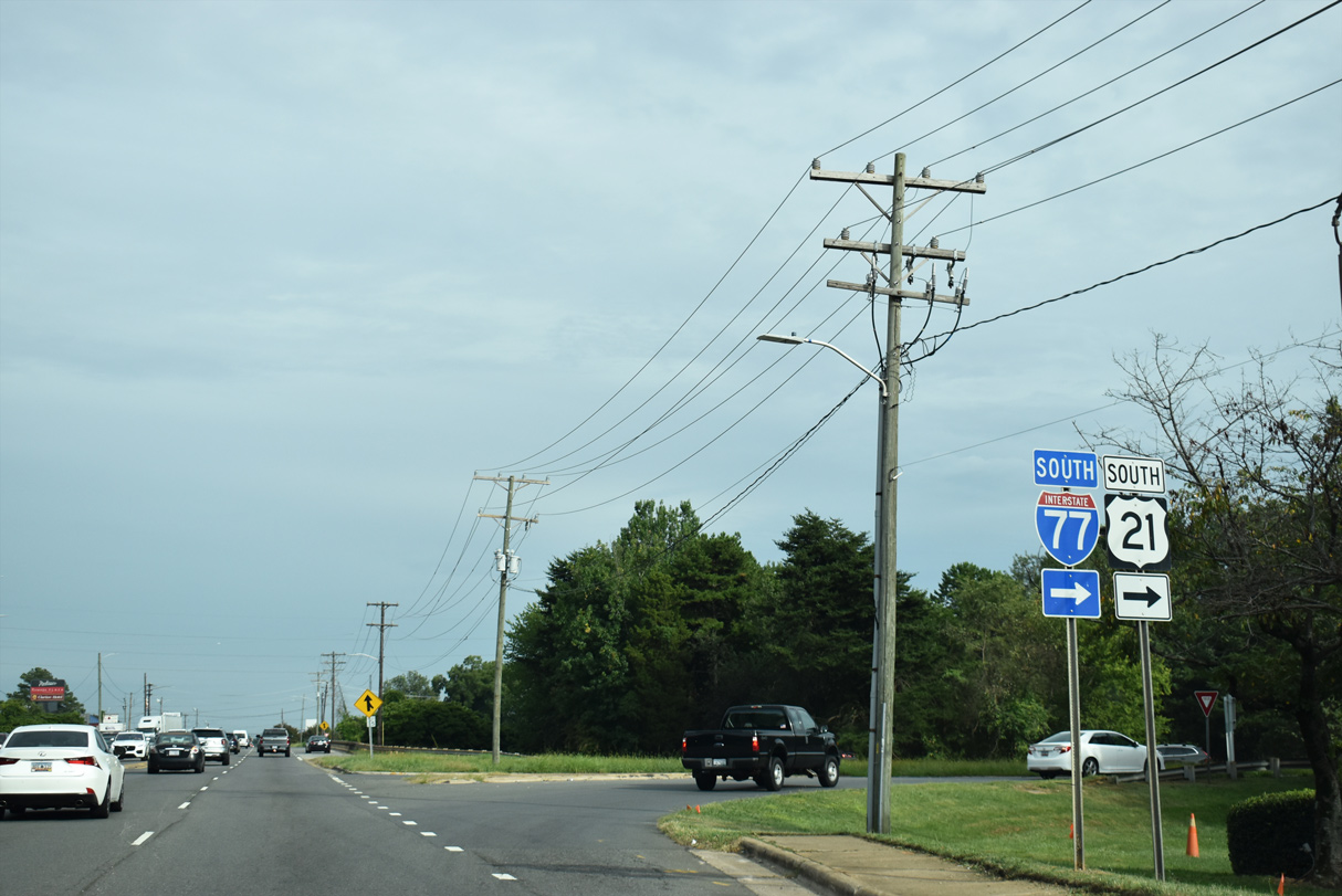
| I-77/U.S. 21 travels south from Charlotte to Rock Hill and Columbia, South Carolina. Billy Graham Parkway concludes as Woodlawn Road continues Charlotte Route 4 east to the Madison Park, Montford, and Barclay Downs neighborhoods. 09/16/21 |
|
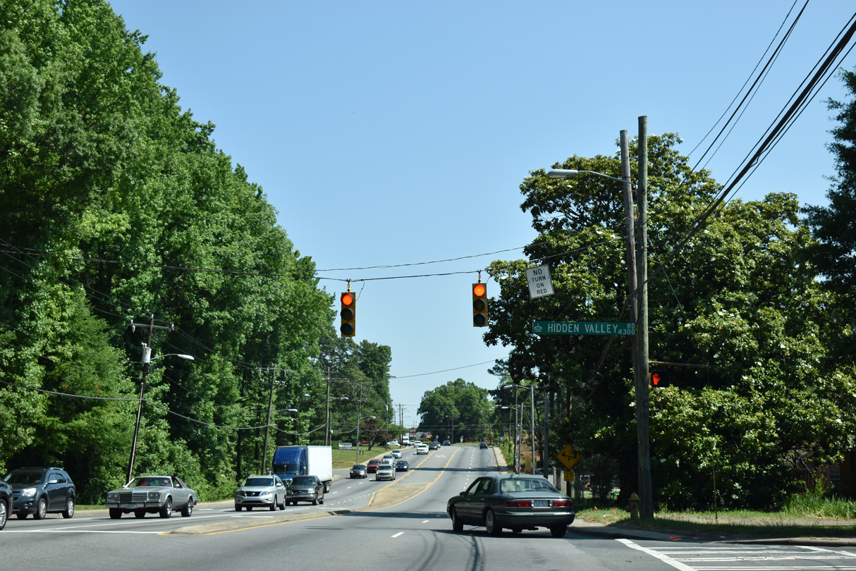
| Charlotte City Route 4 (Sugar Creek Road) north at Hidden Valley Road east. 05/26/19 |
|
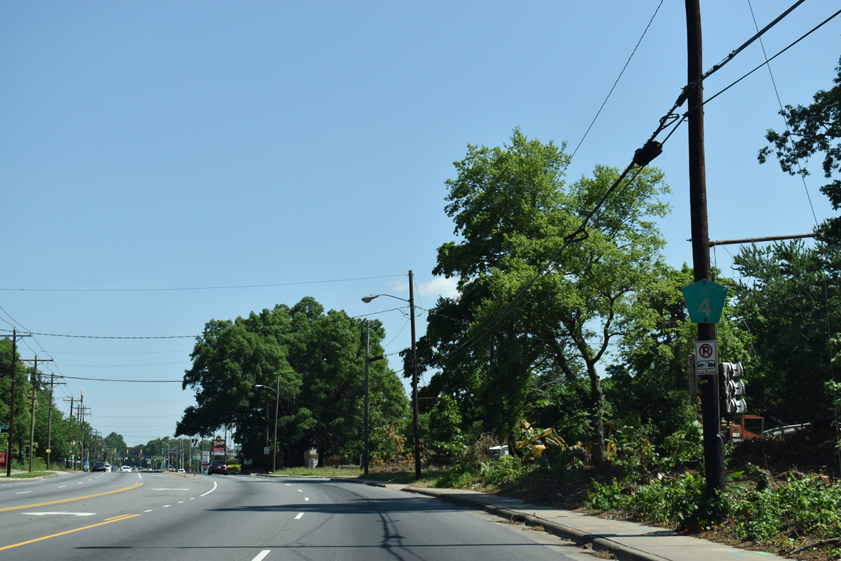
| This shield for Charllote City Route 4 across from Merlane Drive was removed due to development of a 9.8 acre site along the east side of Sugar Creek Road for a $30 million apartment complex.3 05/26/19 |
|
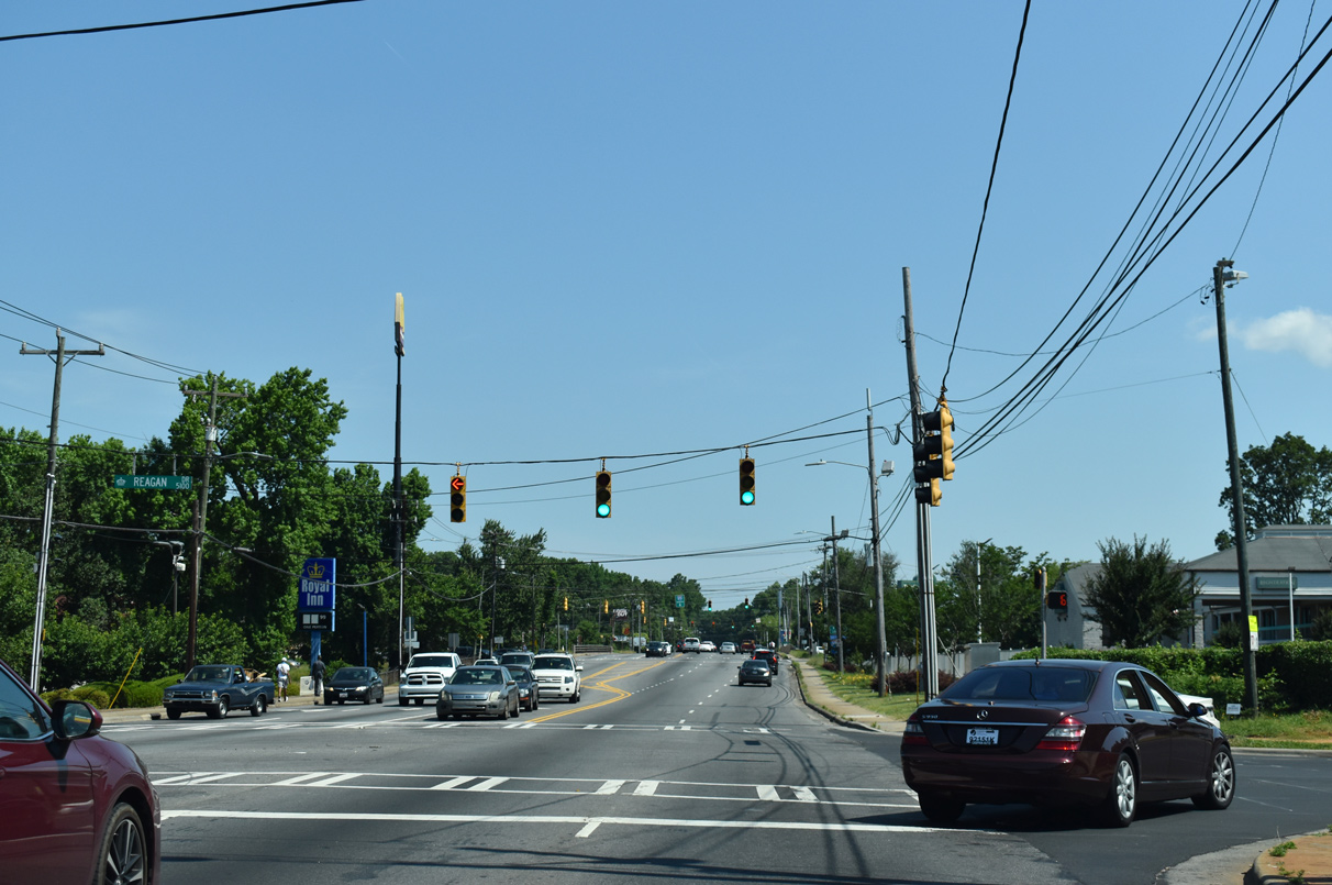
| Reagan Drive (SR 2620) constitutes a service road along the south side of Interstate 85. 05/26/19 |
|
| Charlotte City Route 4 (Sugar Creek Road) concludes at a diamond interchange with Interstate 85. 05/26/19 |
|
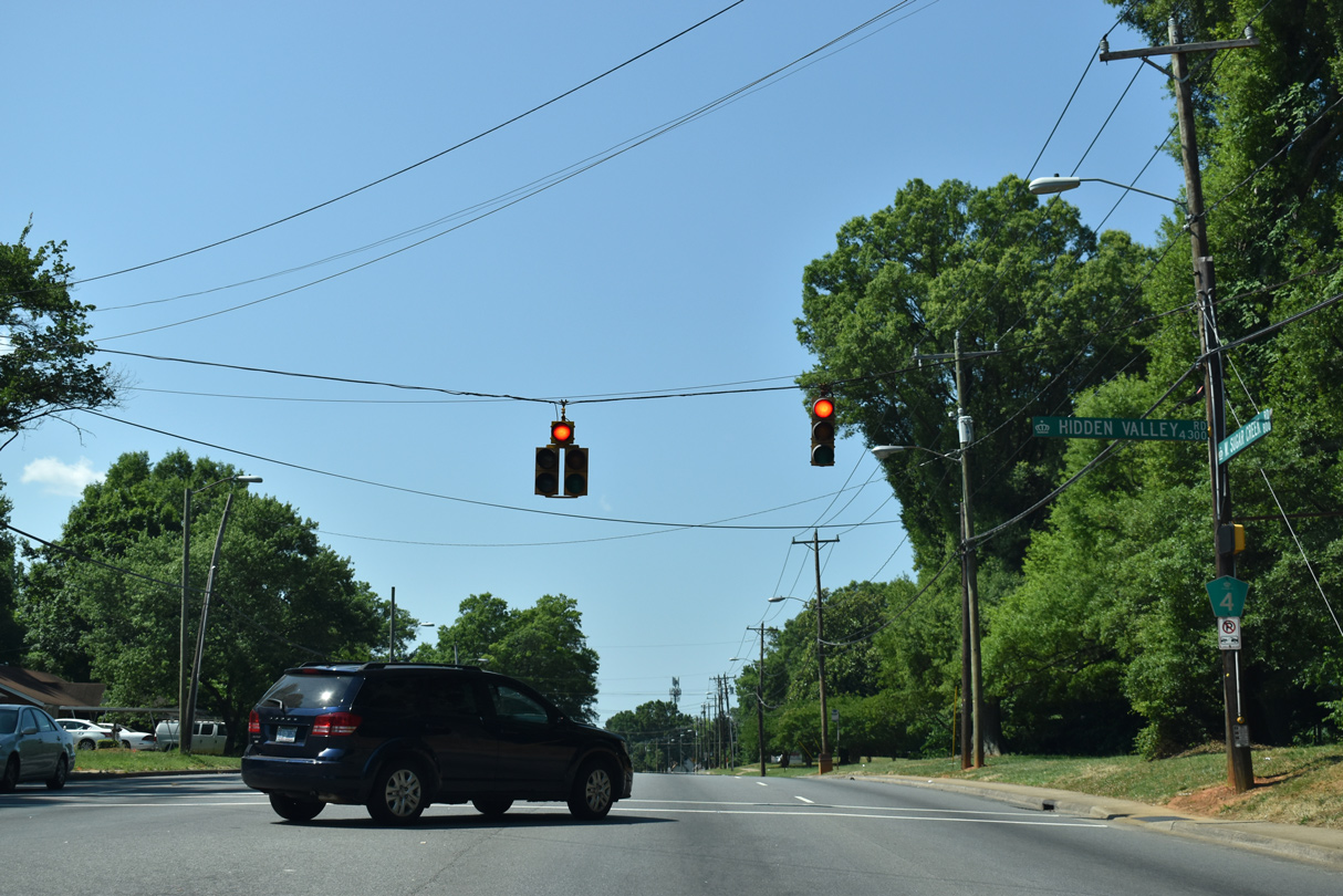
| Charlotte City Route 4 (Sugar Creek Road) south at Hidden Valley Road east into the Hidden Valley neighborhood. 05/26/19 |
|
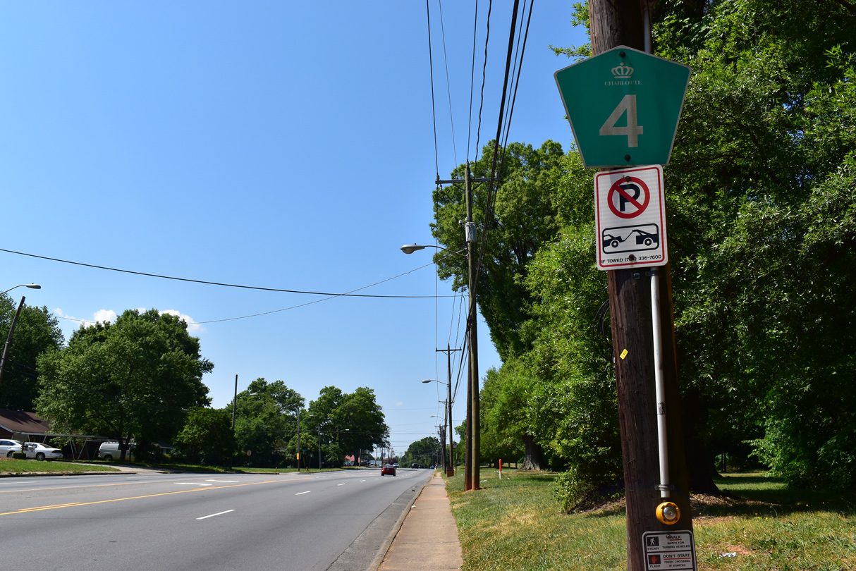
| A reassurance marker for Charlotte City Route 4 is posted at Hidden Valley Road. 05/26/19 |
|
| Morris Field Drive west at the CPCC Harris Campus and Charlotte Route 4 (Billy Graham Parkway. 01/17/19 |
|
| Billy Graham Parkway (SR 5901) proceeds north into a trumpet interchange with Josh Birmingham Parkway (SR 1490) west to Charlotte Douglas International Airport (CLT) from Morris Field Drive. 01/17/19 |
Sources:
- "Wilbur Smith Designed Charlotte's Road Plan." Charlotte Observer, The (NC), July 27, 1990.
- "The Original Outerbelt is Friendly, Useful." Charlotte Observer, The (NC), November 21, 1999.
- "$30M Apartment Project Proposed In Crime-Ridden Sugar Creek Corridor." Bisnow National, February 27, 2018.
01/17/19, 05/26/19, 09/16/21 by AARoads
Connect with:
Interstate 77
Interstate 85
U.S. 29
U.S. 74
Highway 16
Highway 27
Route 49
Page Updated 09-24-2021.