
Liberty County Road 67A constitutes a 2.08 mile long cut off from SR 65 south of Hosford to CR 67 east of Telogia.
Historically two additional branches of CR 67A were established at Bristol. CR 67A followed a 1.4 mile long loop on Freeman Road north from Pea Ridge Road (then-CR 379) to SR 12 around the east side of the city. A 0.9 mile long loop for CR 67A was also formed by Michaux Road west from Pea Ridge Road to Myers Ann Street north to SR 20. CR 67 at that time tied into CR 12 south of Bristol and east of Lake Mystic.
Florida Secondary 67A was also previously designated at Carrabelle. Appearing on the 1972 Franklin County General Highway Map, S-67A comprised a 1.25 mile long loop north from U.S. 98/319 on Ryan Drive and east to S-67 on Three Rivers Road. CR 67A remained on FDOT General Highway Maps until at least 2002.
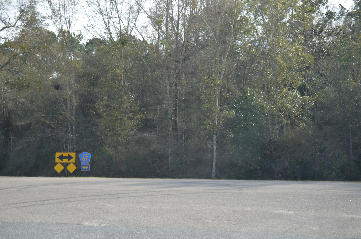 | CR 67A converges with CR 67 north of Stokes Branch. CR 67 travels 39.3 miles south to U.S. 98/319 in Carrabelle. 01/16/16 |
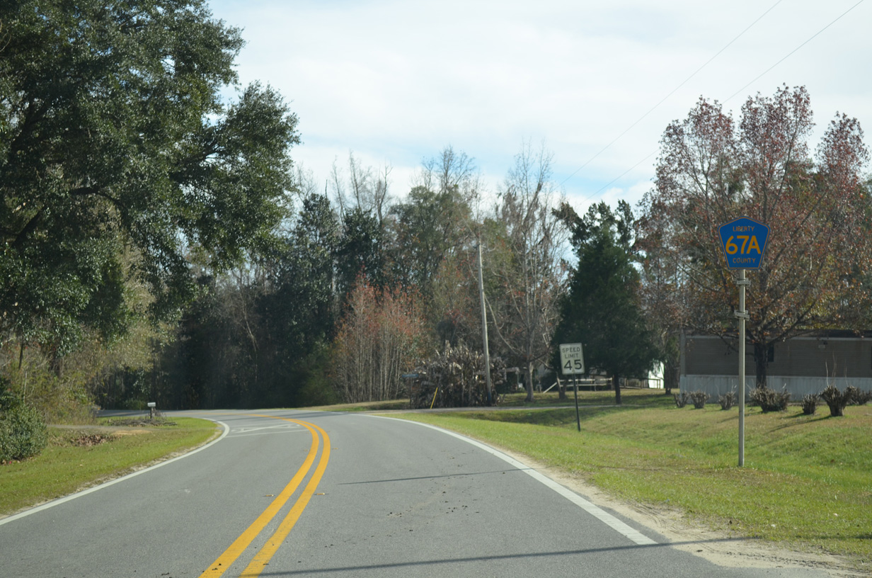 | Leading away from SR 65, CR 67 navigates through an S-curve paralleling Telogia Creek. 01/16/16 |
Photo Credits:
01/16/16 by AARoads
Connect with:
State Road 65
County Road 67
Page Updated 04-24-2020.