Following a rural route through northeast Lake County, County Road 439 travels east of Eustis from Florida 44 to County Road 42. Totaling 7.8 miles, CR 439 intersects CR 44A at Seneca and ends at CR 42 in Ocala National Forest.
Two additional branches of County Road 439 are assigned across the state. A mostly unmarked section in Orange County leads south from SR 50 (Colonial Drive) in Ocoee to Windermere and Sand Lake Road at Dr. Phillips. A segment in Hernando County extends south from CR 39 in Citrus County as well.
|
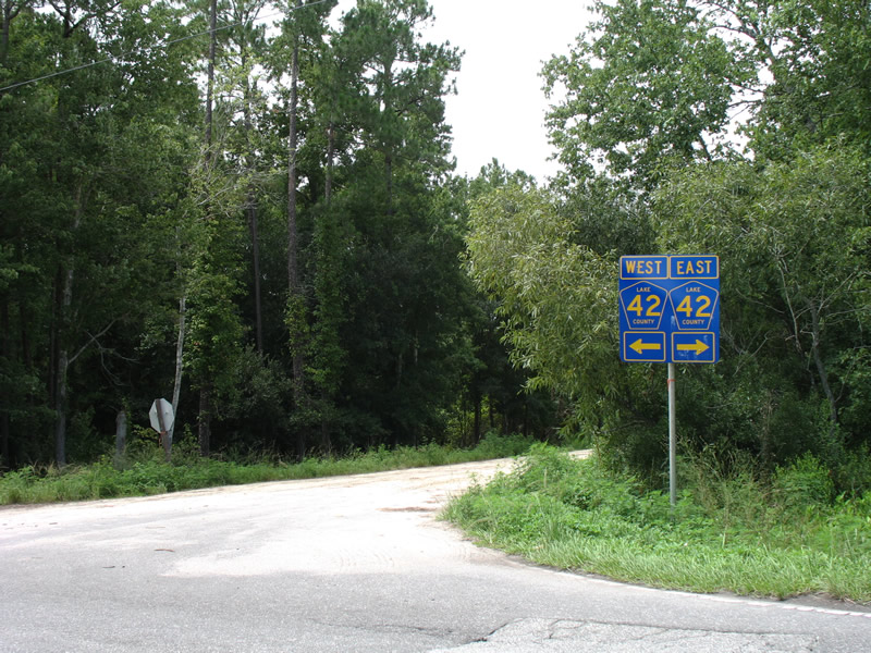
| Lake County Road 439 ends at Lake County Road 42 west of Paisley and east of Altoona. Much of CR 42 is bound by the Ocala National Forest, including land north of this intersection. 07/03/08 |
|
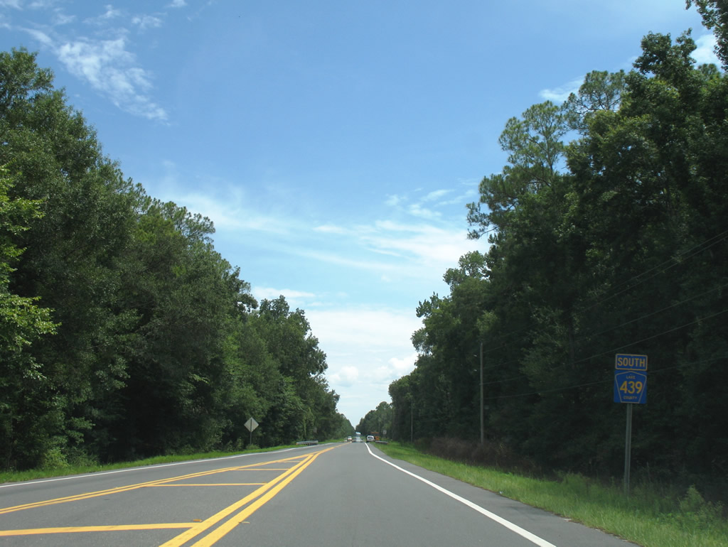
| The southbound beginning of Lake County Road 439 as the highway leaves Lake County Road 42 east of Altoona. 07/03/08 |
|
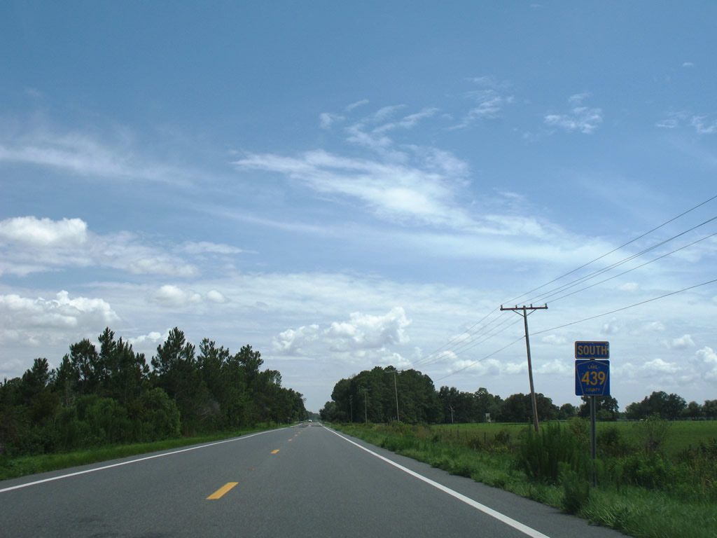
| A second reassurance shield for Lake County Road 439 appears south of Will Murphy Road. 07/03/08 |
|
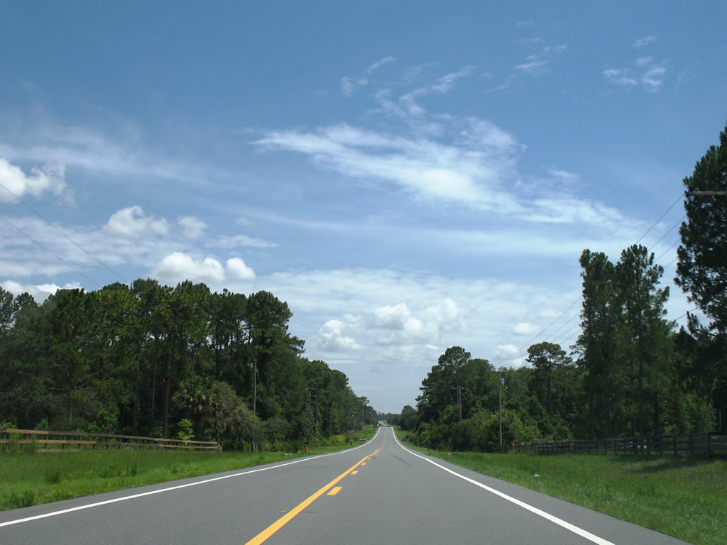
| Typical scene along Lake County Road 439 southbound on the rural outskirts of Eustis. 07/03/08 |
|
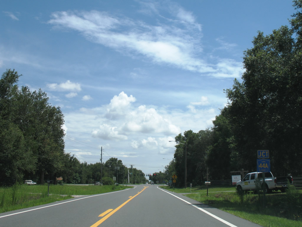
| Lake County Road 439 bends southwest ahead of the intersection with Lake County Road 44A at Seneca. 07/03/08 |
|
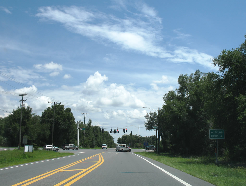
| Traffic lights were added in 2008 to the intersection of CR 439 and SR 44A east of Eustis. CR 44A represents a former alignment of SR 44 leading east from Eustis to SR 44 near Cassia. 07/03/08 |
|
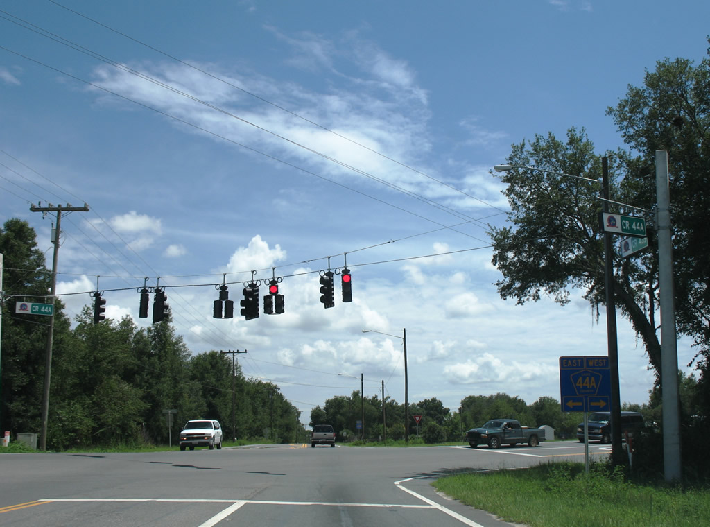
| County Road 44A leads 2.3 miles west to intersect its north-south branch to Lake Dalhousie and Umatilla. County Road 44 overtakes CR 44A in 3.2 miles west en route to SR 19 in north Eustis. 07/03/08 |
|
| Continuing south from CR 44A by Lake Seneca, CR 439 remains rural to SR 44. 07/03/08 |
|
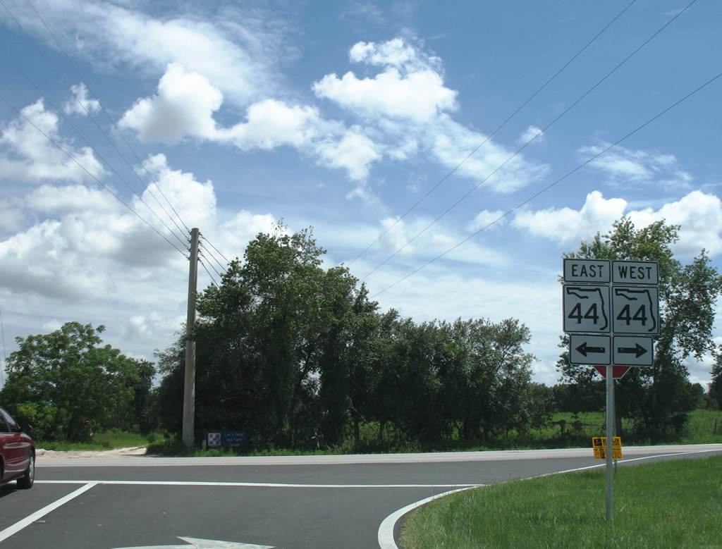
| SR 44 travels east from the south end of Lake County Road 439 to Mt. Dora and Seminole Springs and west to Downtown Eustis. 07/03/08 |
Page Updated 03-19-2018.

 North
North