
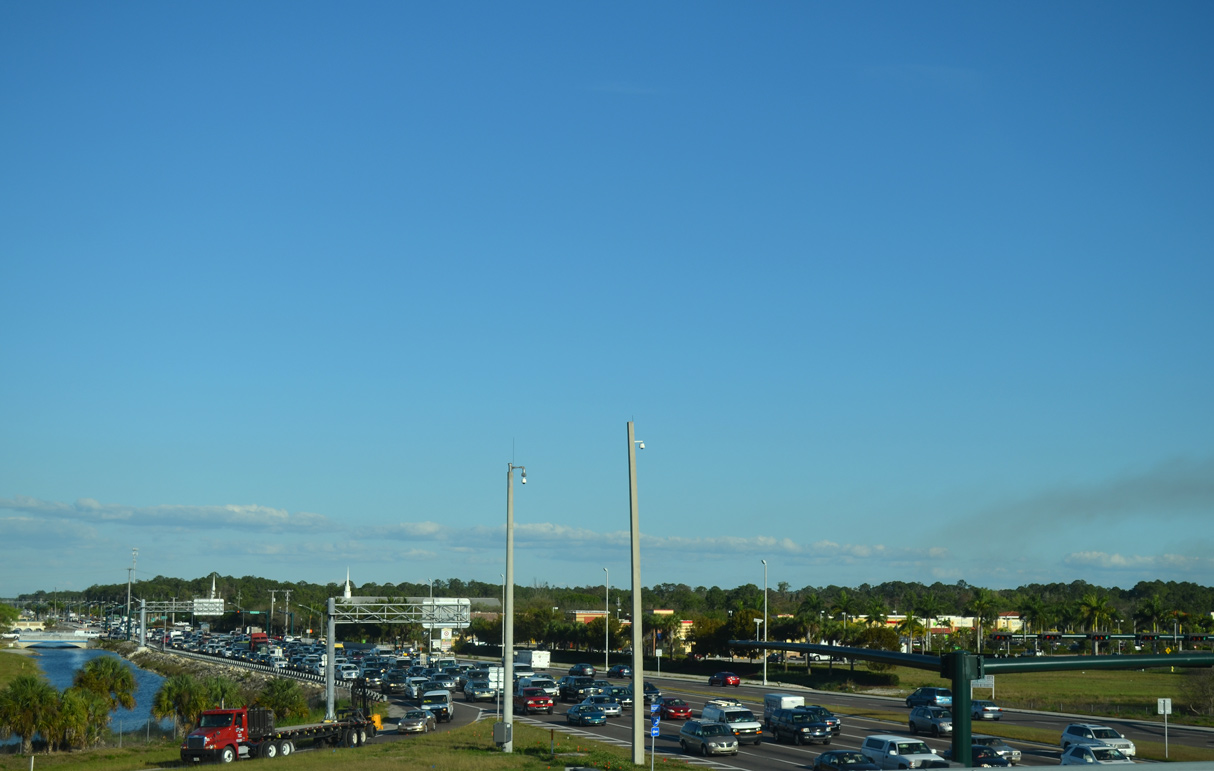
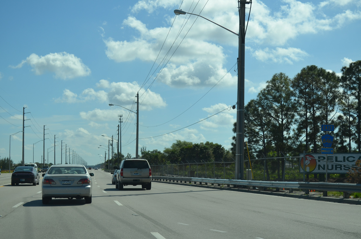
Heavy traffic along CR 846 (Immokalee Road) leading west into the exchange with Interstate 75. 03/04/14
Split into two segments, County Road 846 joins coastal Collier County with Immokalee and Hendry County. The section along Immokalee Road runs 32.92 miles from U.S. 41 (Tamiami Trail) at Naples Park to SR 29 in Immokalee. The western extent lines 111th Avenue N between U.S. 41 and CR 901 (Vanderbilt Drive) and Bluebill Avenue to Gulf Shore Drive and the entrance to Delnor-Wiggins Pass State Park.
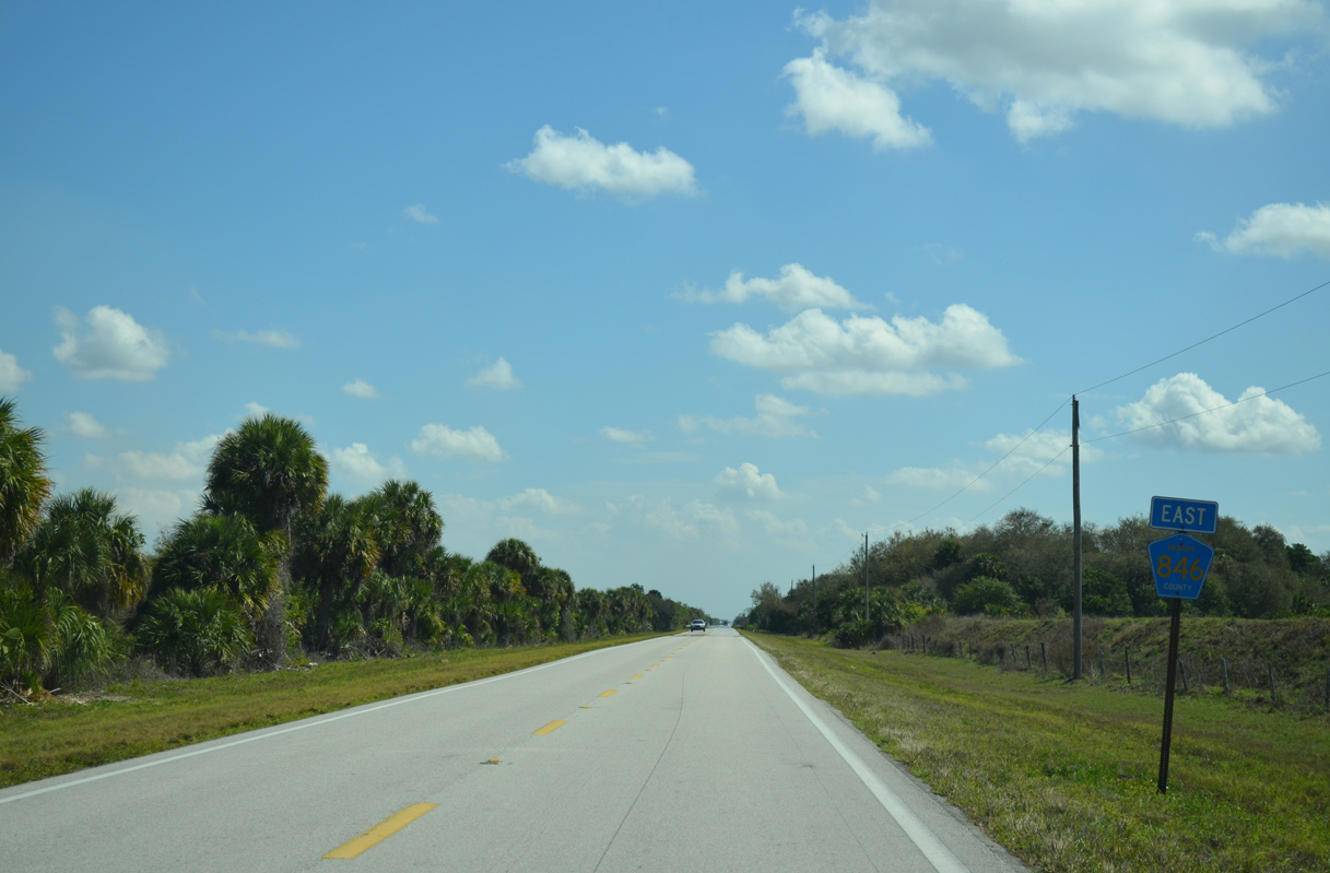
The eastern branch of CR 846 travels 8.58 miles from SR 29 in Immokalee to the Hendry County line, and another 11.21 miles east and north to CR 833 alongside Dinner Island Ranch Wildlife Management Area.
Florida Secondary Road 846 was established by 1955 east from Immokalee into Hendry County and as a spur southwest along Immokalee Road to a point near Oil Well Grade Road. Immokalee Road was extended west to U.S. 41 (Tamiami Trail) as a graded road by 1957. S-846 was a fully paved road by 1959. CR 846 west to Vanderbilt Drive (then S-865A) was in place by 1973.
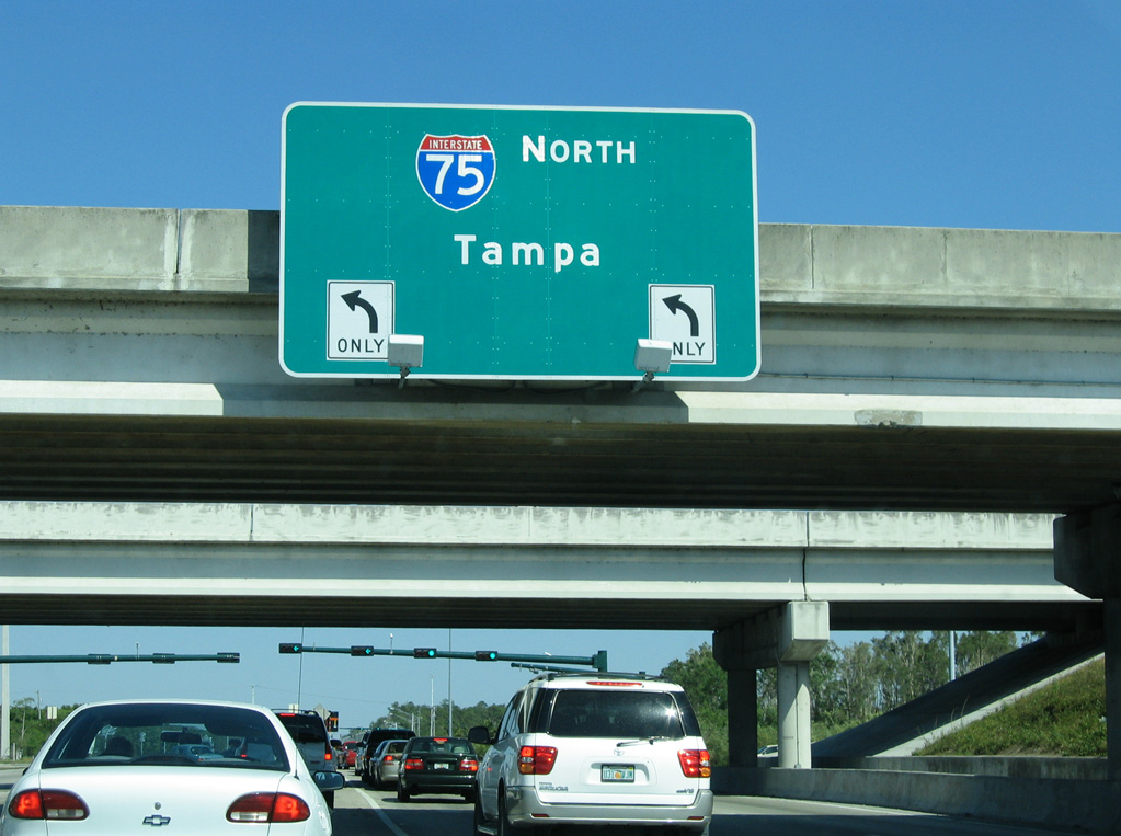
CR 846 (Immokalee Road) east at I-75 during construction to widen the freeway to six lanes. Miami was replaced with Naples on eventual sign replacements.
03/26/06
Interstate 75 heads north from Immokalee Road to Bonita Springs in Lee County en route to Ft. Myers and Sarasota.
03/26/06
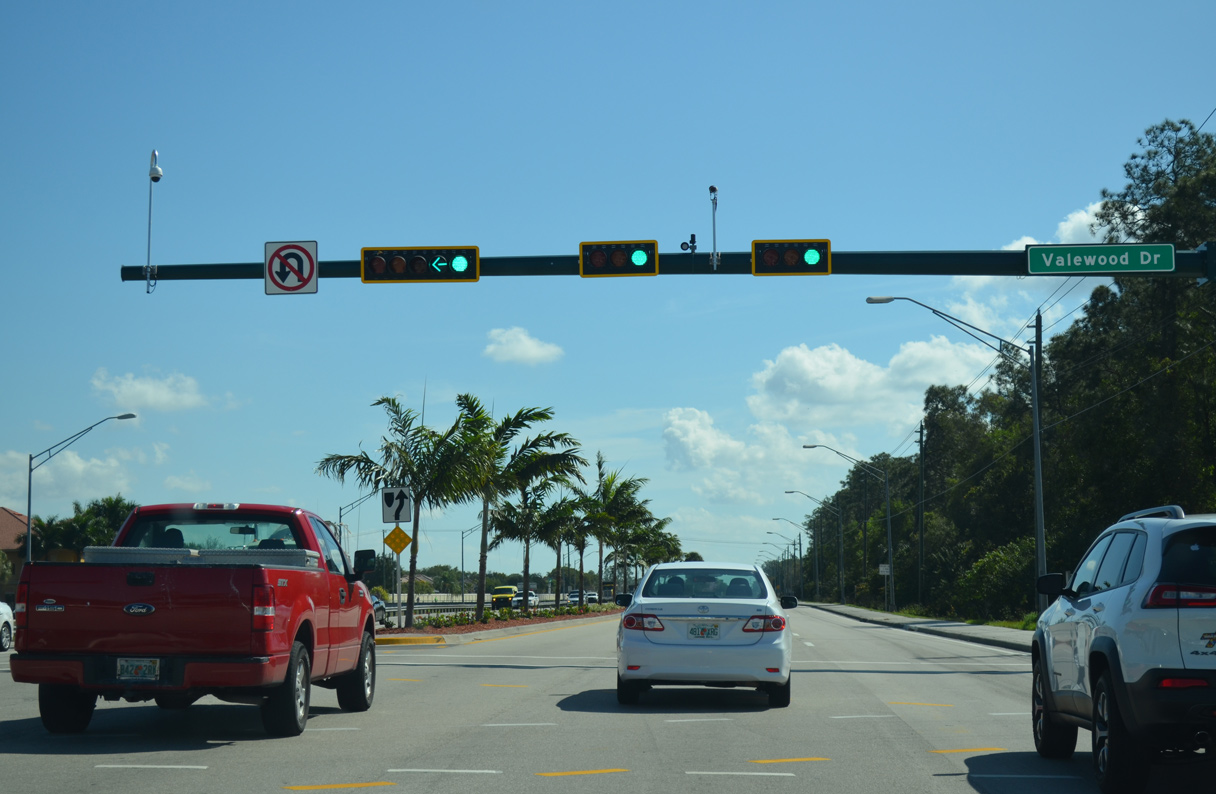
CR 846 (Immokalee Road) continues with six overall lanes east from I-75 to Valewood Drive.
03/04/14

Logan Boulevard is an arterial route heading south to Santa Barbara Boulevard and Golden Gate. Heading north, Logan Boulevard was extended to Bonita Beach Road in Lee County.
03/04/14

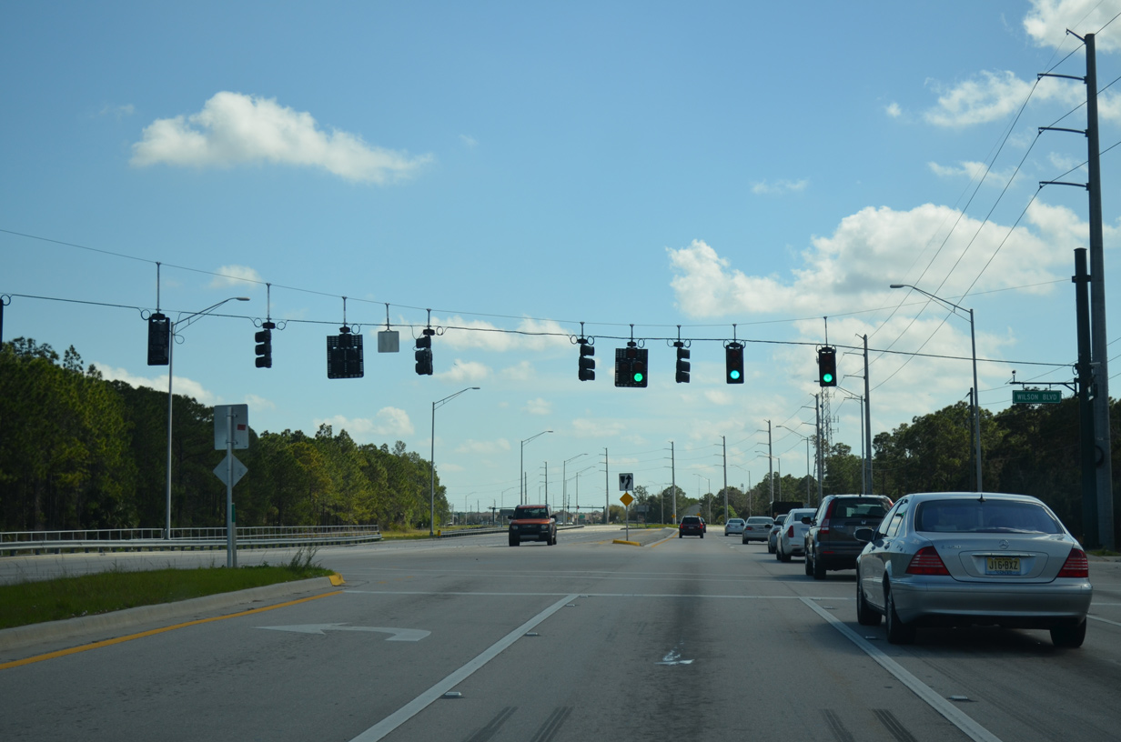
The signal at Preserve Lane serves Laurel Oak Elementary and Gulf Coast High School.
03/04/14
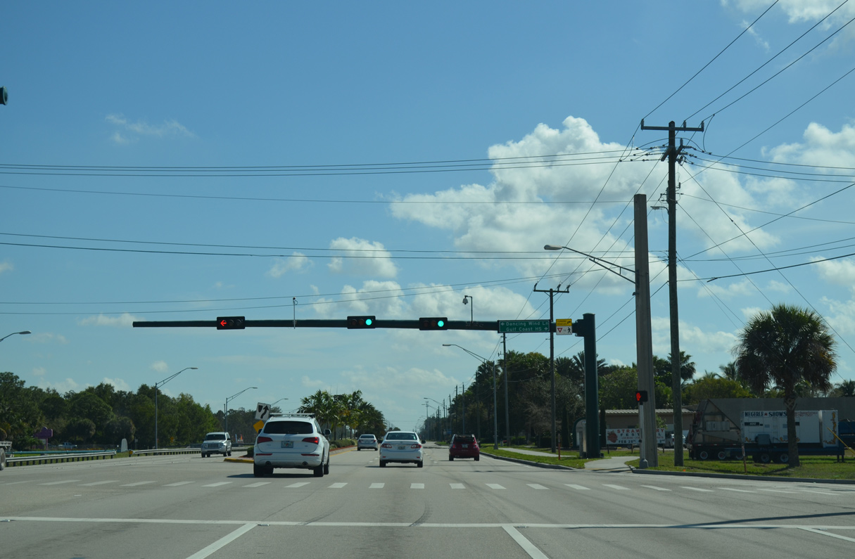
Dancing Wind Lane ties into a signalized intersection across from Gulf Coast High School.
03/04/14
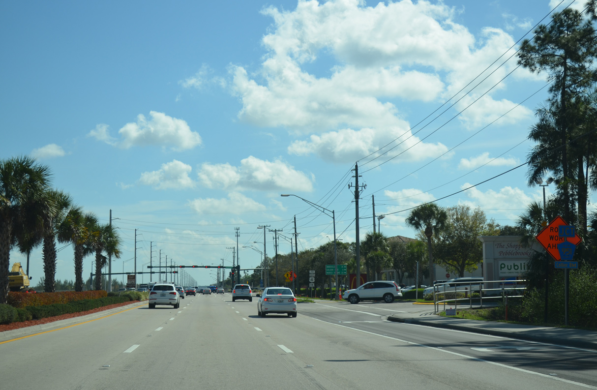
CR 846 advances east to the north end of CR 951 (Collier Boulevard).
03/04/14
Collier Boulevard travels 14.7 miles south to U.S. 41 (Tamiami Trail) en route to Marco Island.
03/04/14
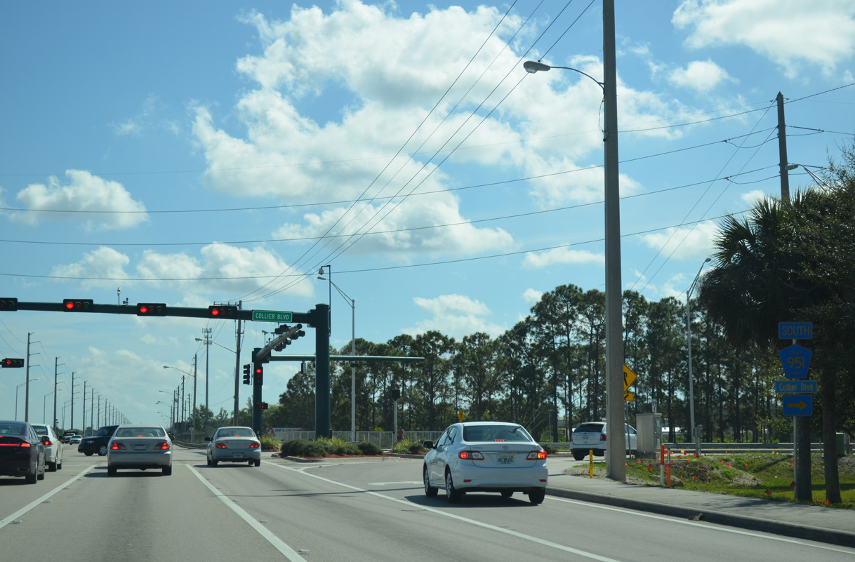
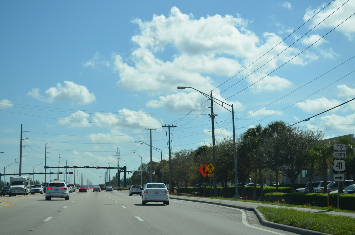
County Road 951 lines Collier Boulevard south to I-75, and again from SR 84 to U.S. 41.
03/04/14
03/04/14
03/04/14
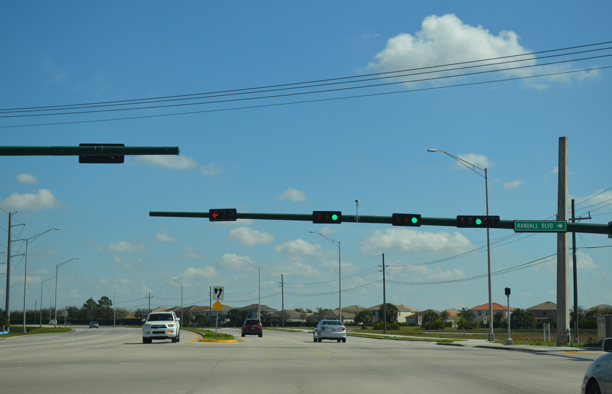
Immokalee Road turns north from Randall Boulevard by the Orangetree community.
03/04/14
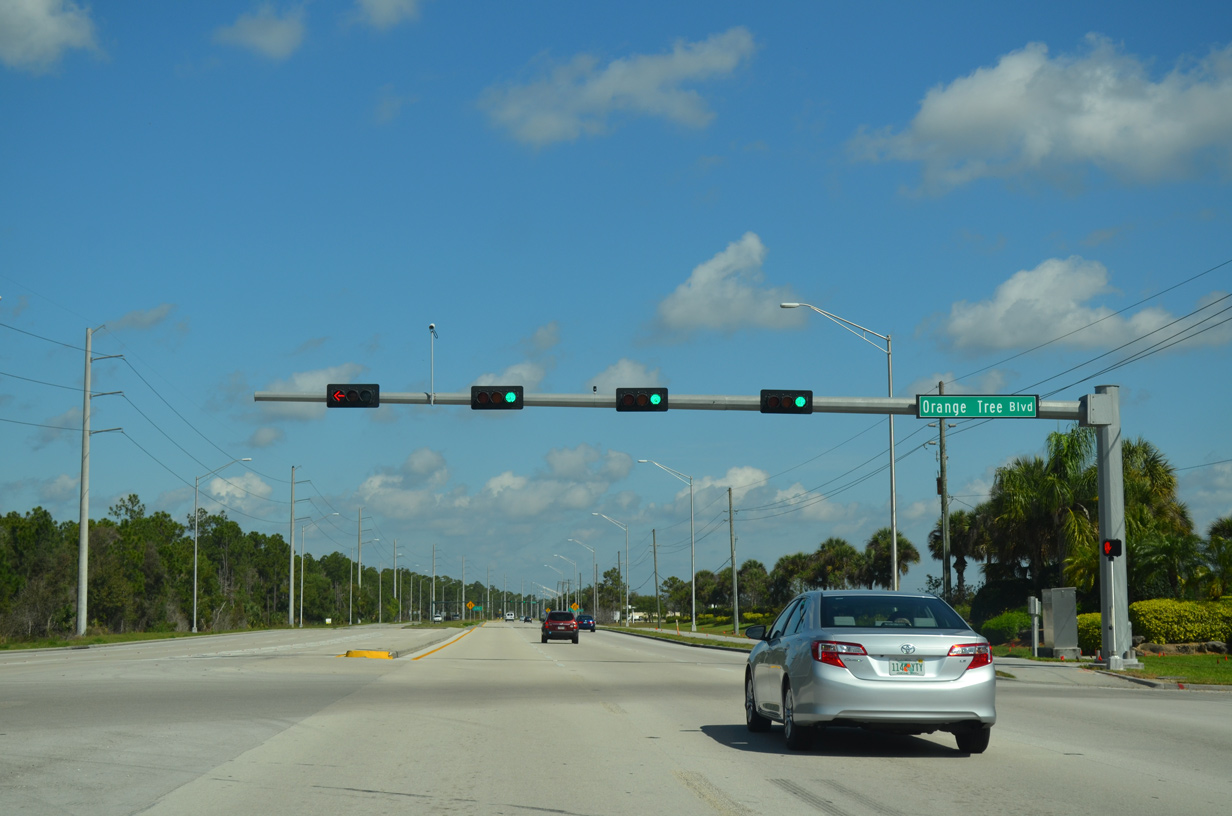
Orange Tree Boulevard comprises one of the main entrances to the Orangetree - Valencia Lakes development.
03/04/14
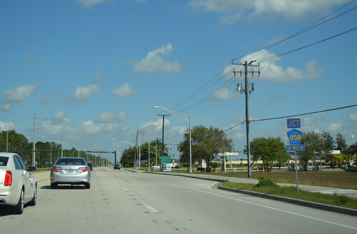
County Road 858 (Oil Well Road) stems east from CR 846 through Orangetree.
03/04/14
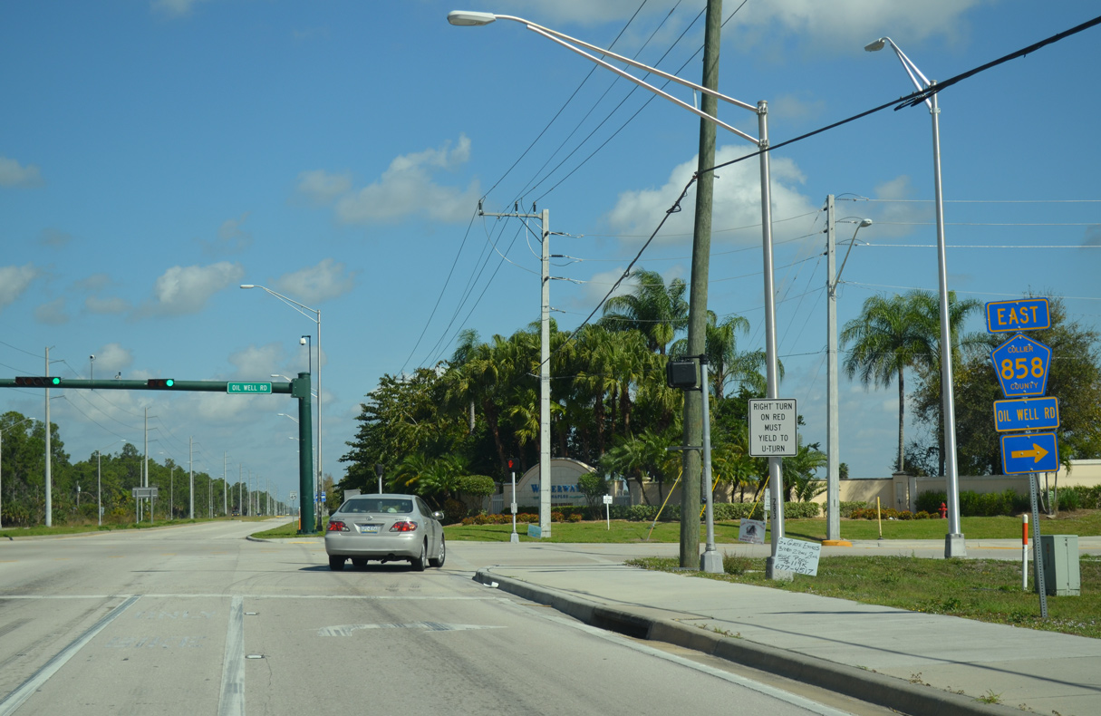
CR 858 (Oil Well Road) travels 15.87 miles from CR 846 (Immokalee Road) to the community of Ave Maria and SR 29.
03/04/14
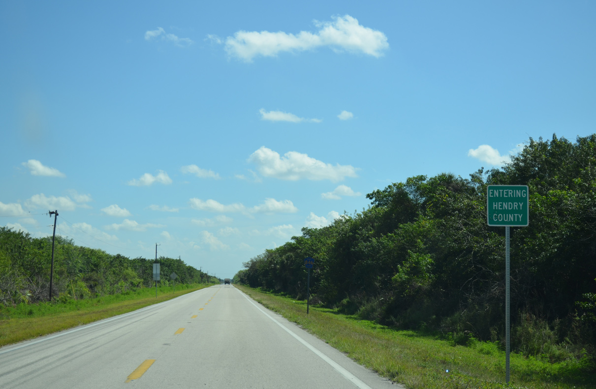
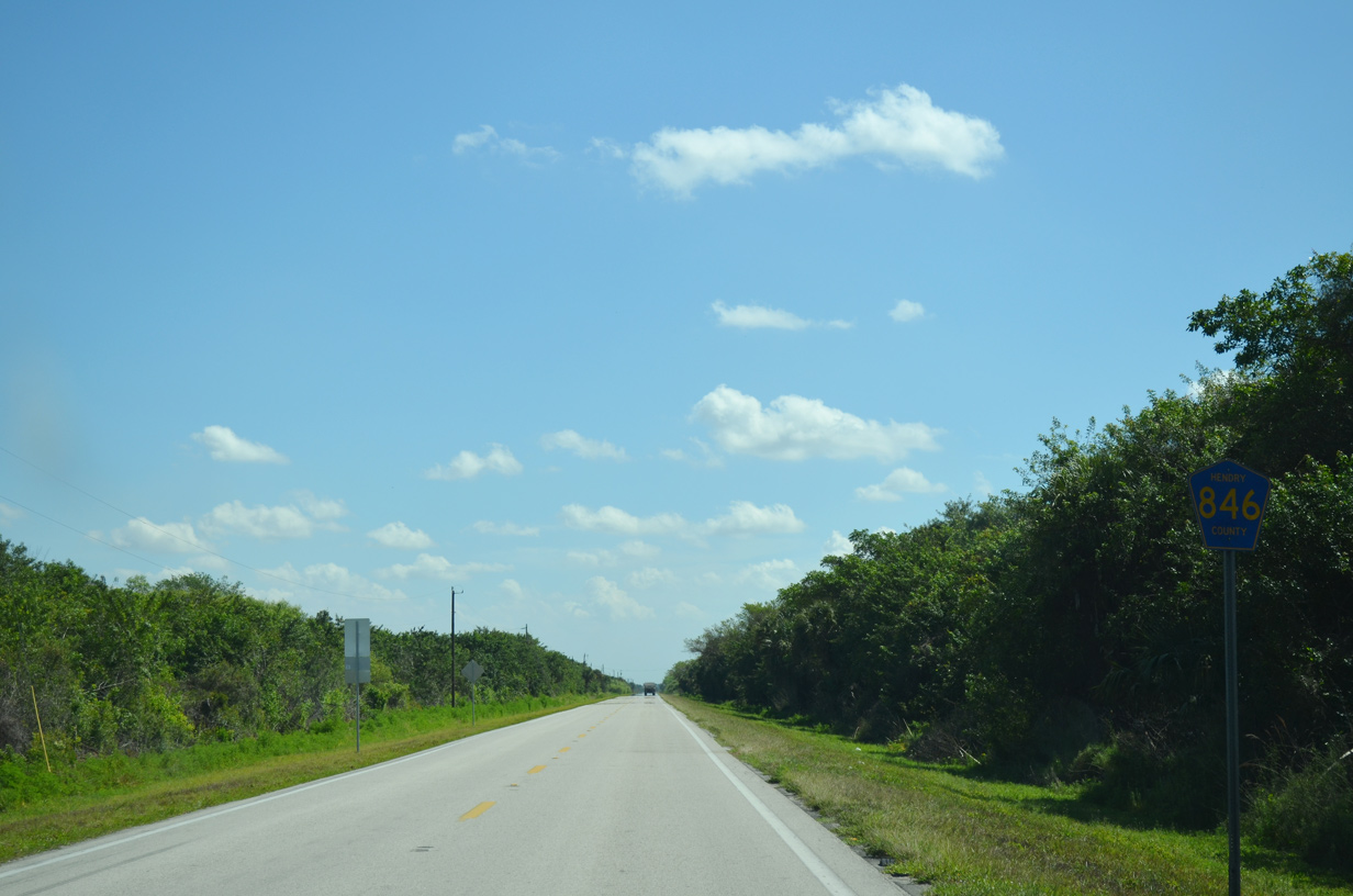
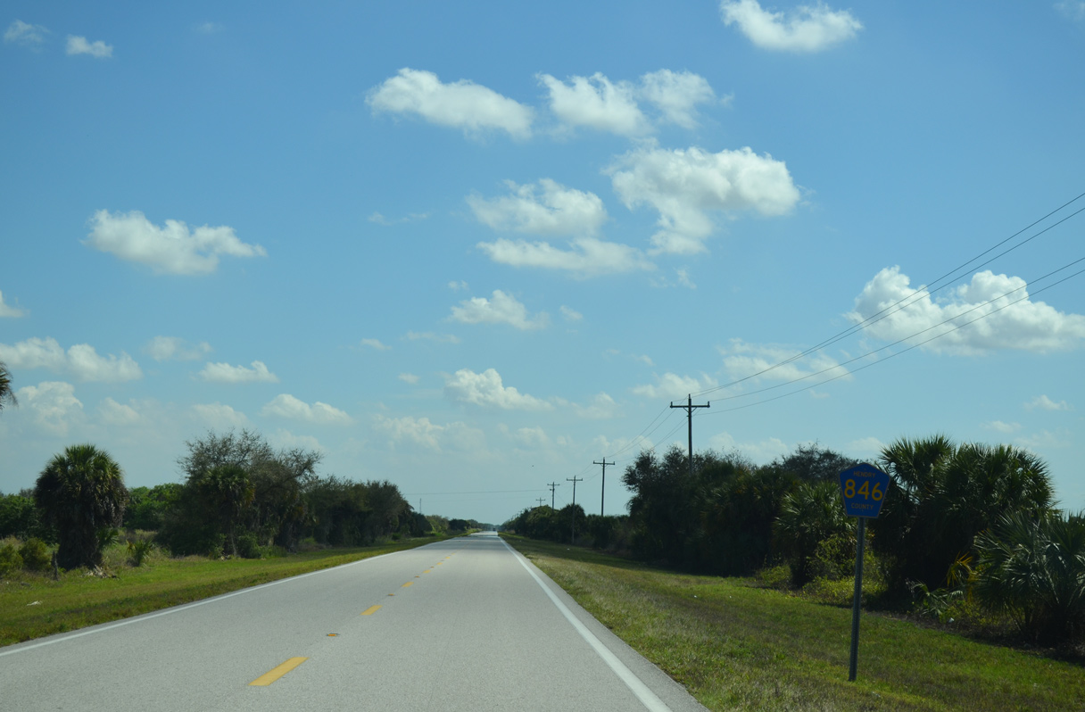
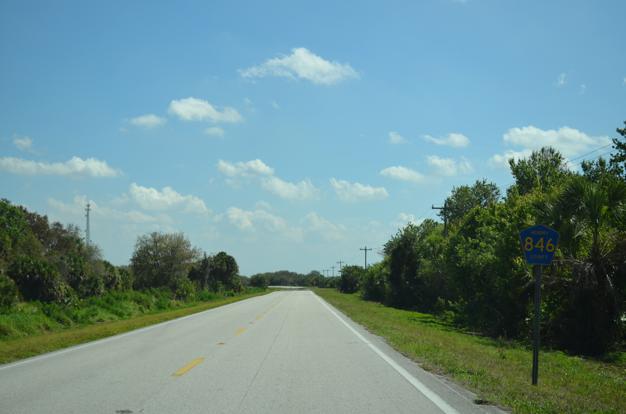
CR 846 enters Hendry County east of the intersection with CR 858.
03/04/14
03/04/14
03/04/14
03/04/14
03/04/14
03/04/14
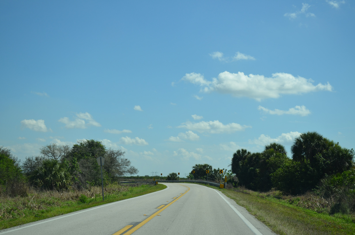
CR 846 makes a 90 degree turn north from near Boggy Slough.
03/04/14
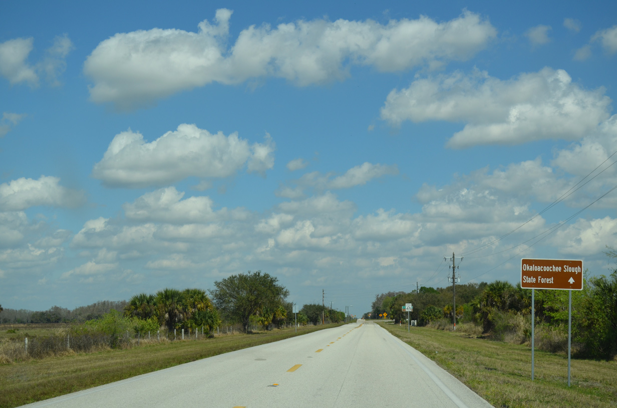
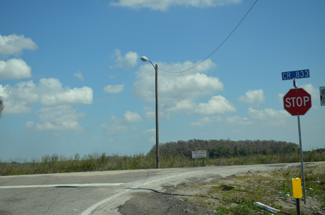
CR 846 concludes at CR 833 southeast of Okaloacoochee Slough State Forest.
03/04/14
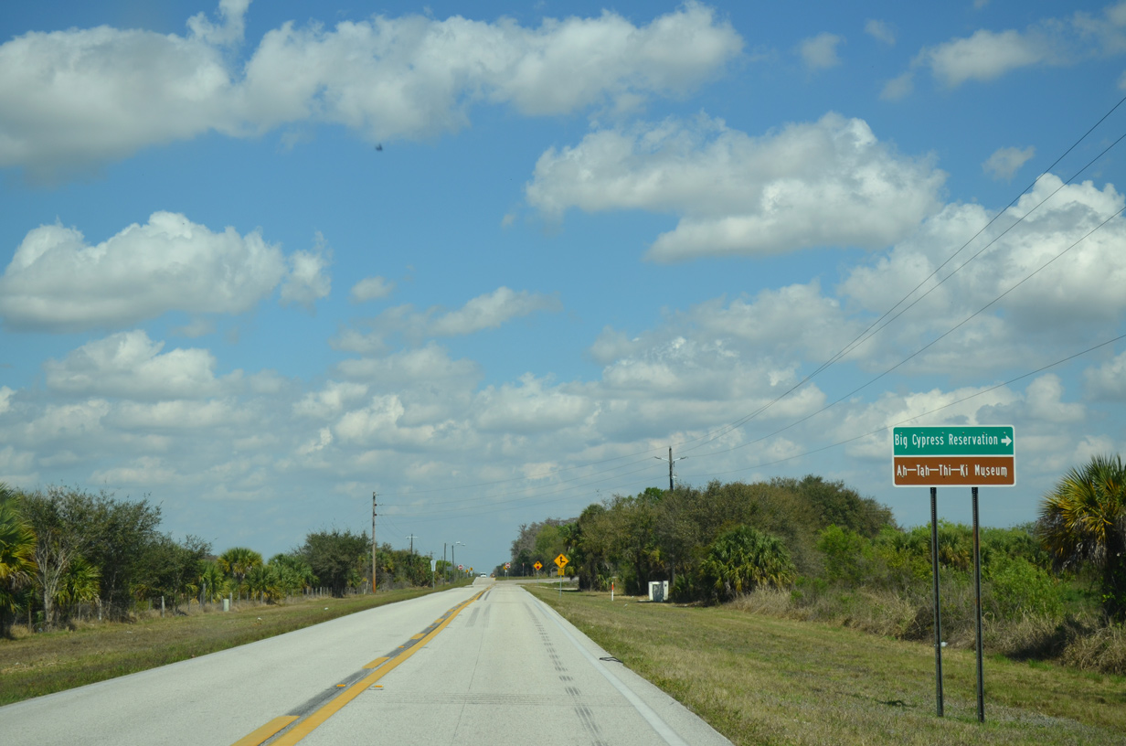
CR 833 travels southeast to Big Cypress Reservation and Snake Road in Broward County.
03/04/14
03/04/14
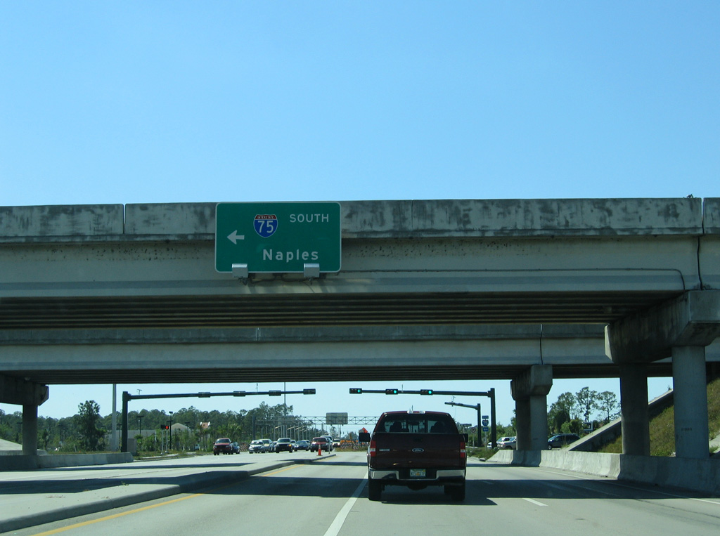
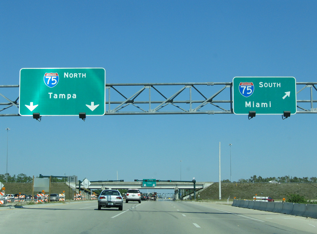
CR 846 (Immokalee Road) west at the diamond interchange (Exit 111) with Interstate 75.
03/26/06
Photo Credits:
- 03/26/06 by AARoads and Justin Cozart. 03/04/14 by AARoads and .
Connect with:
Interstate 75
U.S. 41
State Road 29 / County Road 29
State Road 951 / County Road 951 - Collier Boulevard
County Road 31 - Airport-Pulling Road
County Road 851 - Goodlette-Frank Road
County Road 858
County Road 881 - Livingston Road
County Road 901 - Vanderbilt Drive
Page Updated 10-06-2020.