
Plumas County A-14 follows Graeagle-Johnsville Road west from California 89 in the community of Graeagle to Mohawk and Johnsville. The unincorporated community of Graeagle "The Gift of a Lifetime" had a population of 737 people as of the 2010 Census. CR A-14 is not a through route; it ends in Johnsville (about five miles west of Graeagle). A-14 travels six miles southwest to Johnsville, an unincorporated community with a population of 20 people per the 2010 Census, and Plumas-Eureka State Park, which was established in 1959. In addition to its scenic setting in the Sierra Nevada, the park offers a glimpse into the mining history of the area, including stamp mills and a historic miner residence.
| Plumas County A-14 east |
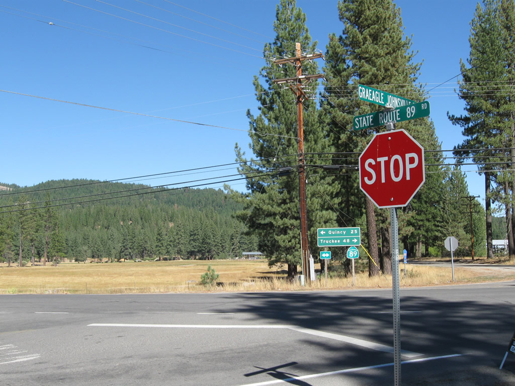 | Plumas County A-14 (Graegle-Johnsonville Road) intersects SR 89 across from Blairsden-Graeagle Road at Graeagle. 09/04/10 |
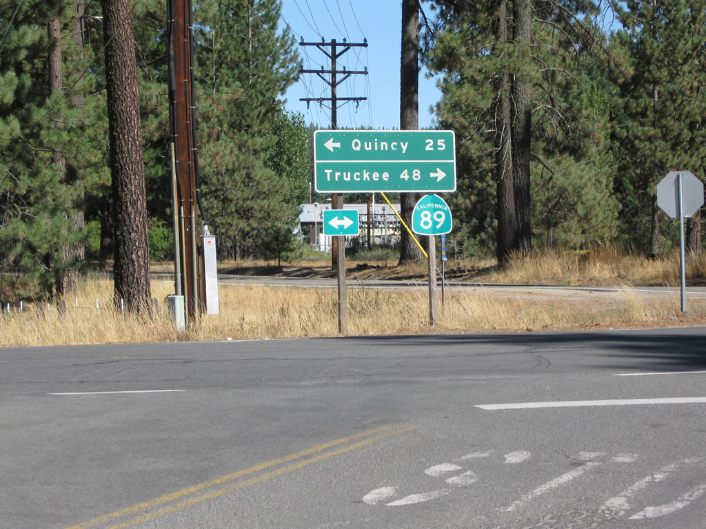 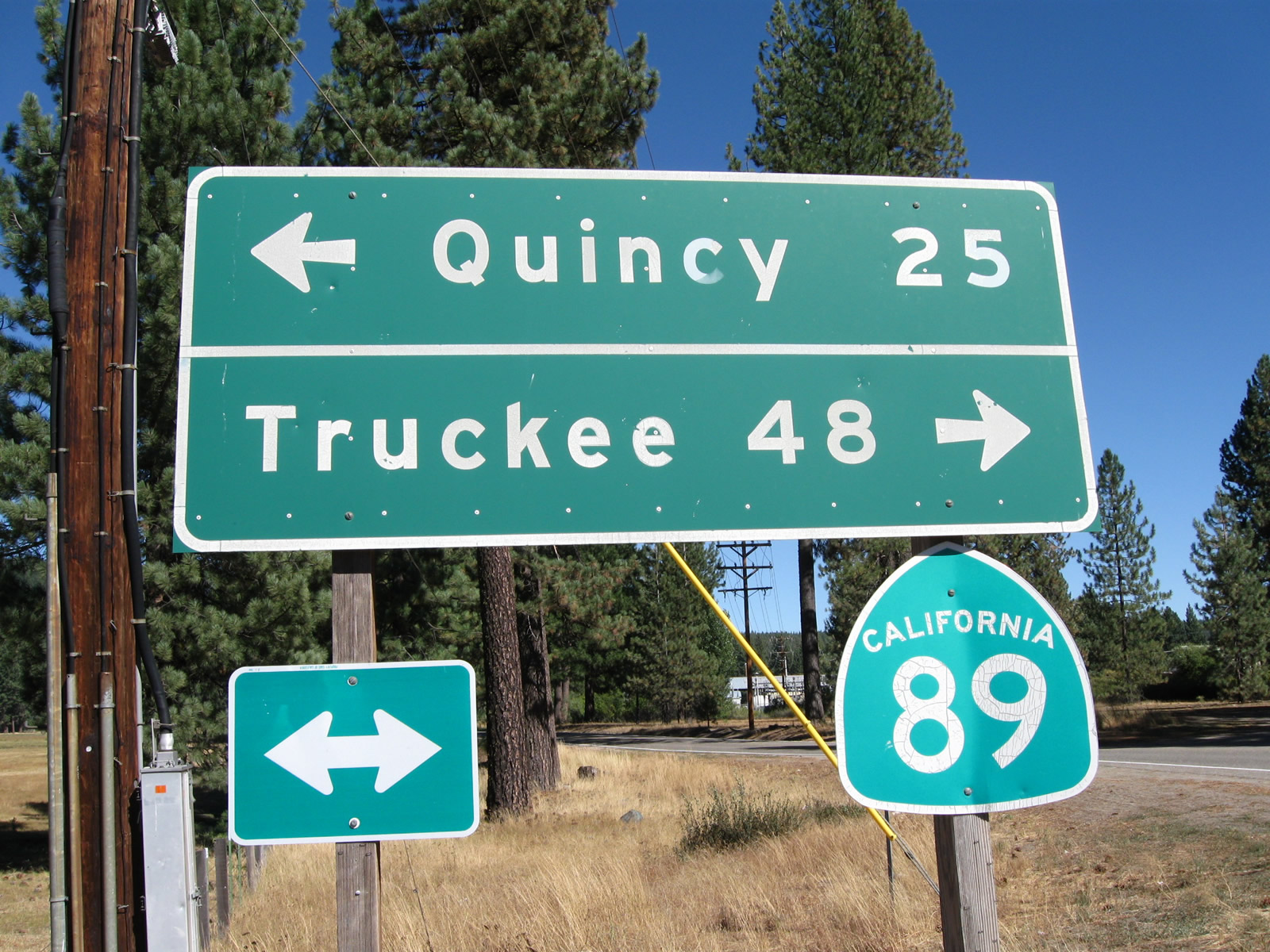 | SR 89 north combines with SR 70 west in 0.9 miles. The two overlap to the Plumas County seat of Quincy. Heading south from CR A-14, SR 89 leaves the Mohawk Valley en route to Truckee. 09/04/10 |
| Plumas County A-14 west |
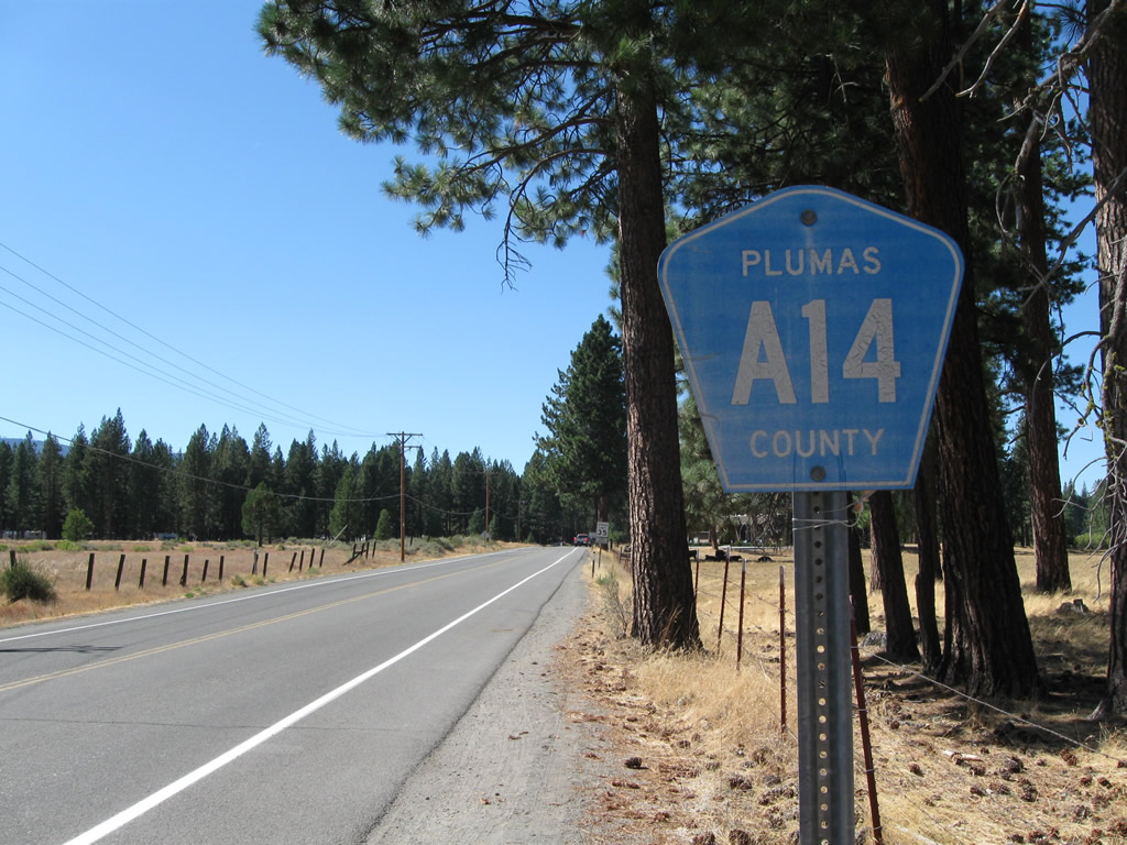 | A confirming marker for County Road A-14 appears along Graegle-Johnsonville Road just west of SR 89. 09/04/10 |
Photo Credits:
09/04/10 by AARoads
Connect with:
Page Updated 08-14-2017.