County Road F55 follows 90th Street along the Eldridge and Davenport city line at Mount Joy and 210th Street east from there to Crombie and the northern boundary of Bettendorf.
|
| A discontinuous section of Brady Street (old U.S. 61) parallels U.S. 61 from CR F55 just to the west of the freeway linking Davenport and Eldridge. 01/01/15 |
|
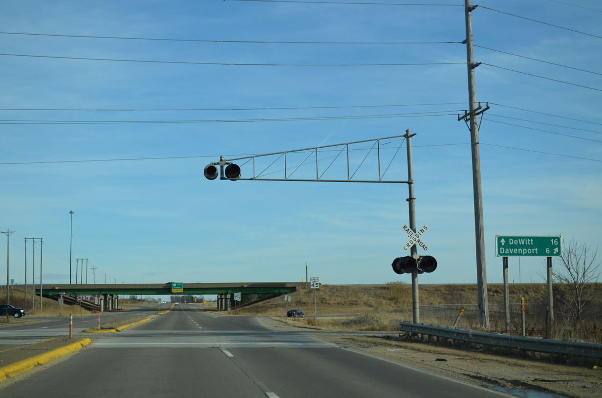
| County Road F55 (90th Street) crosses the DME Railroad line ahead of the southbound on-ramp to U.S. 61. 01/01/15 |
|
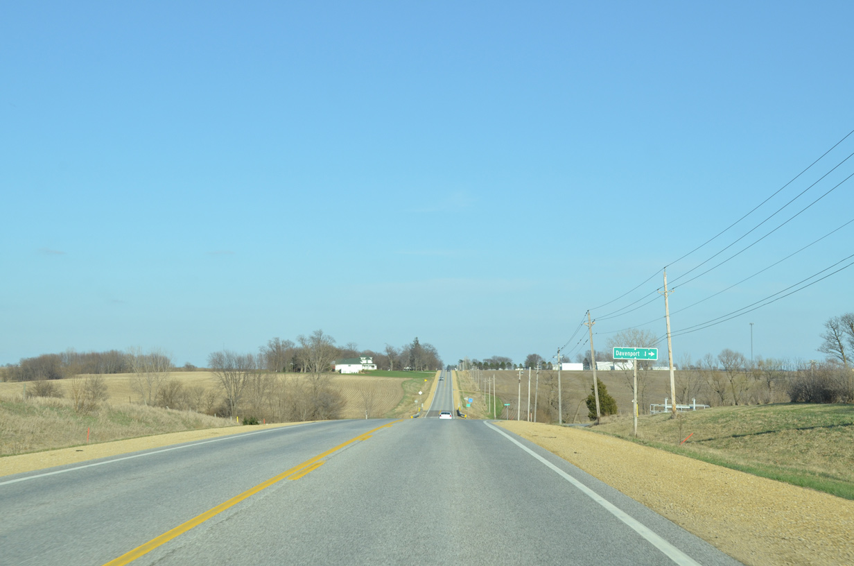
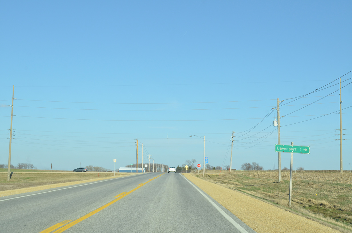
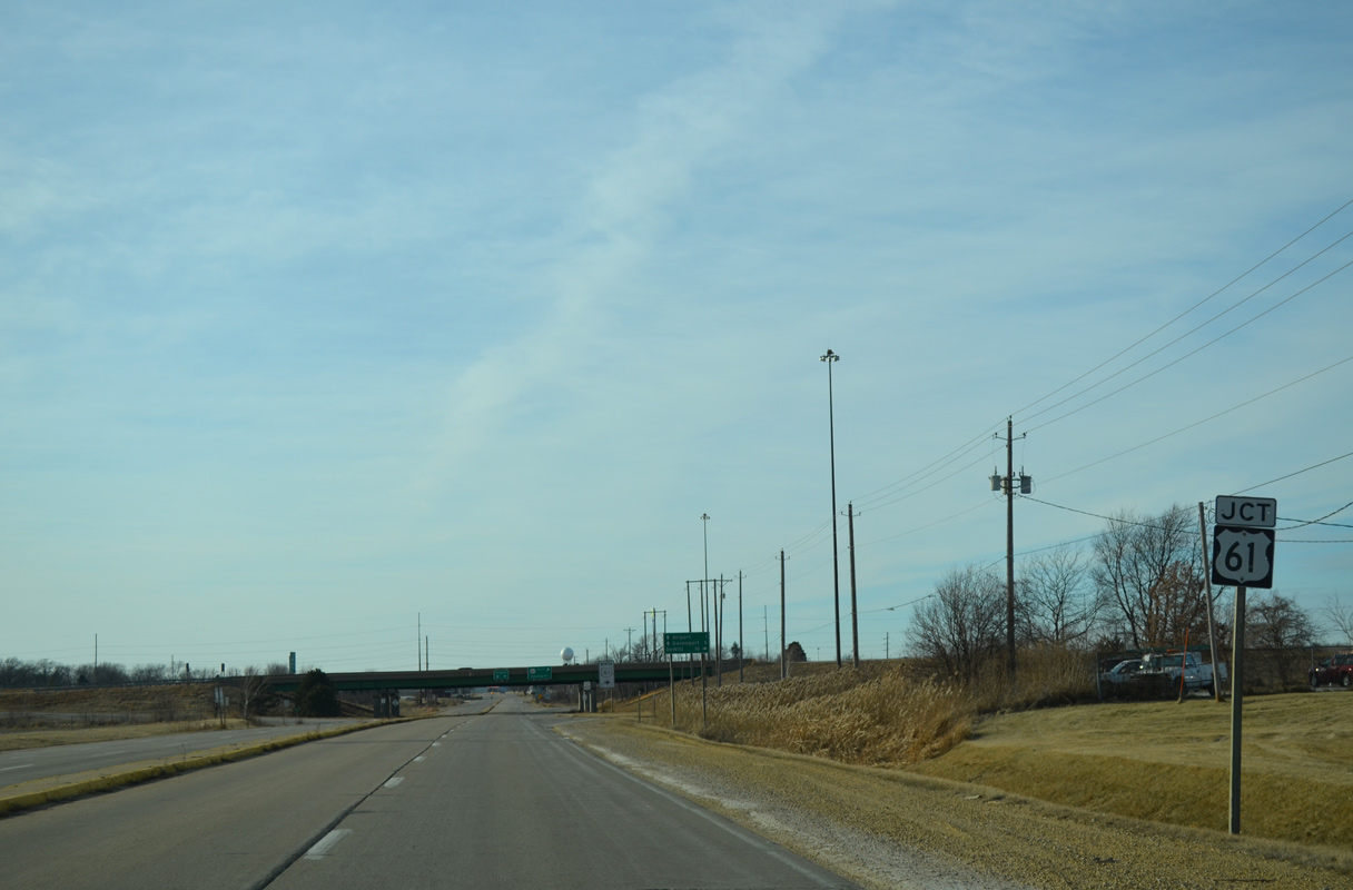
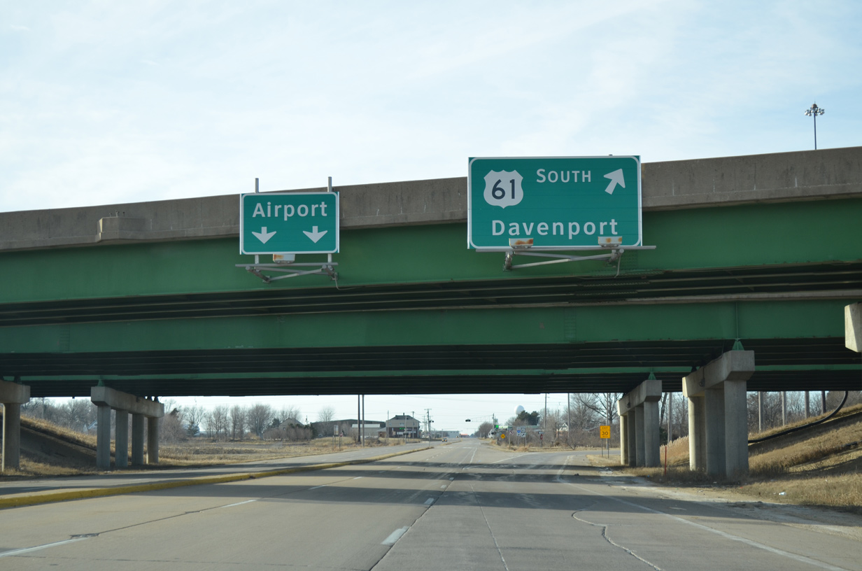
| Downtown Davenport is a six mile drive via U.S. 61 and U.S. 61 Business (Brady Street) south from CR F55 (90th Street). 01/01/15 |
|
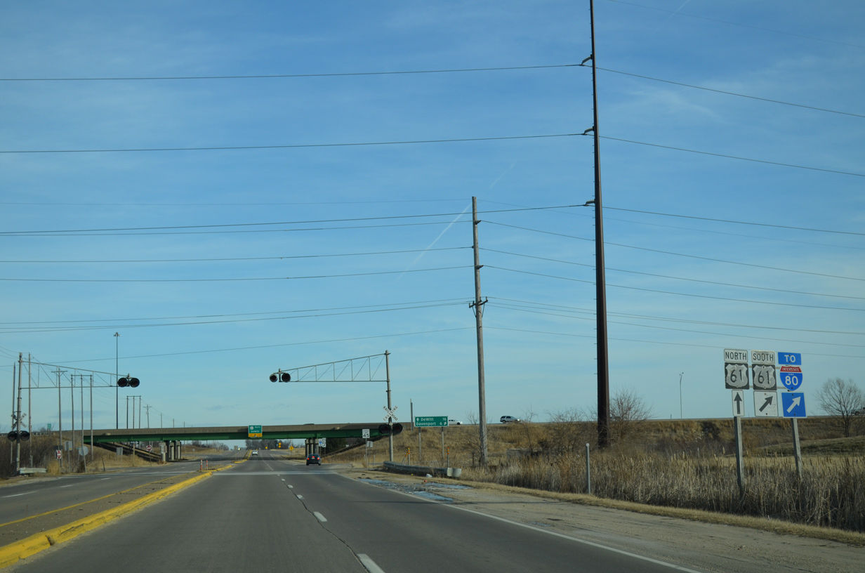
| U.S. 61 south combines with Interstate 80 at a cloverleaf interchange just one mile south of 90th Street here. 01/01/15 |
|
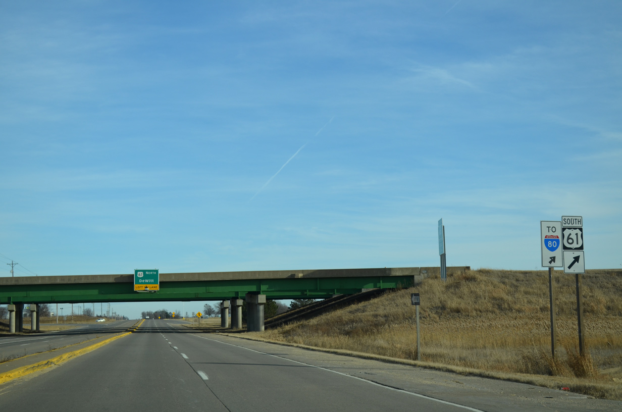
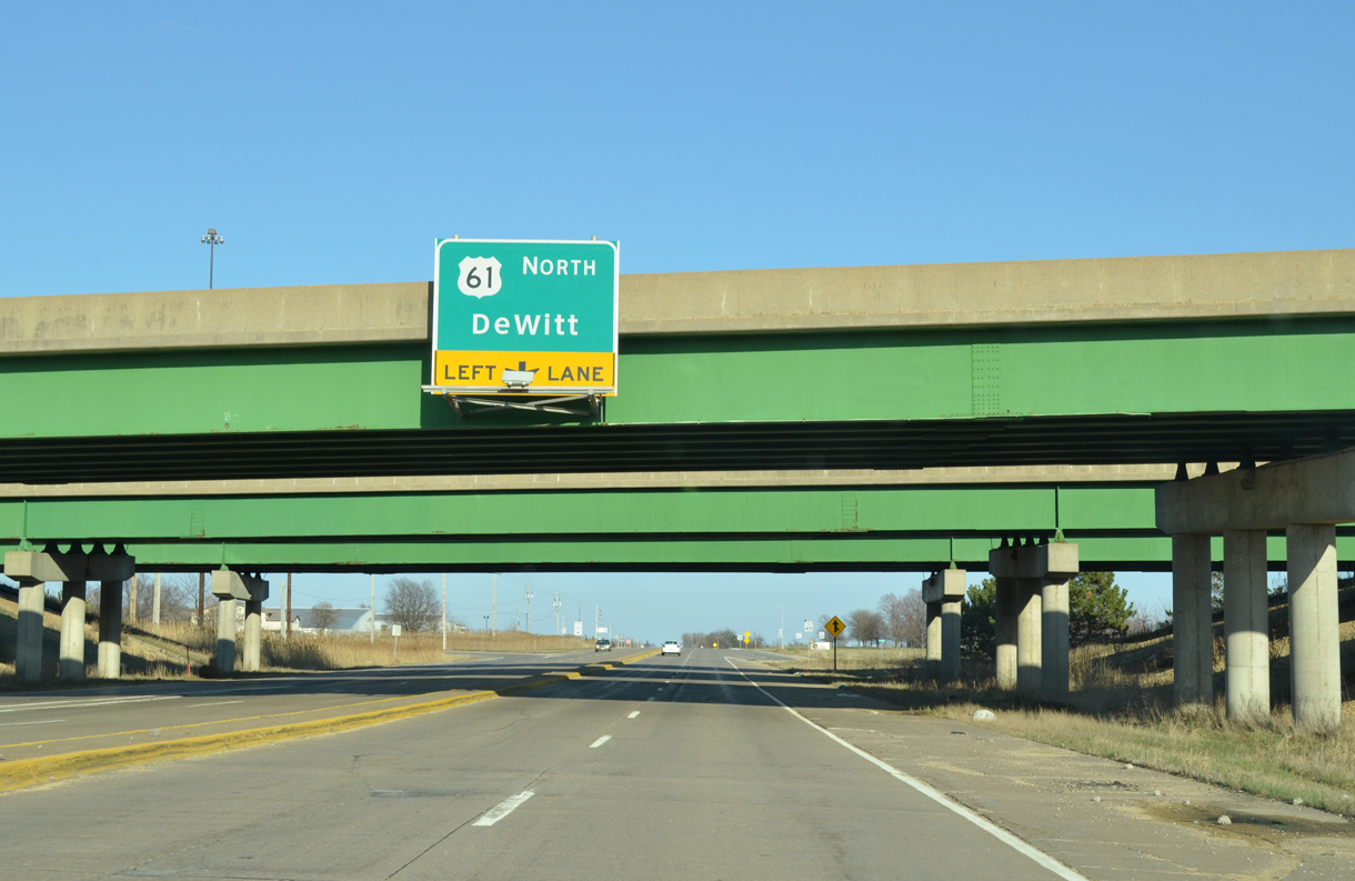
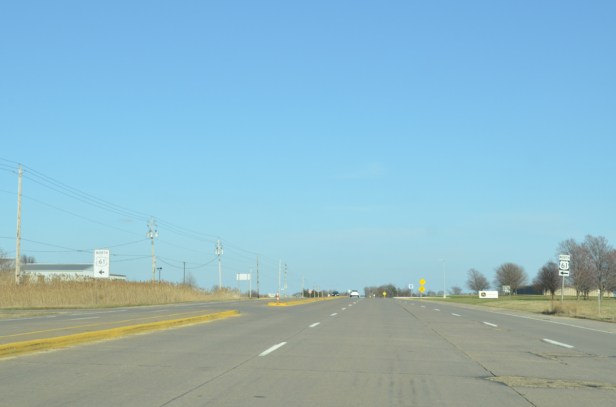
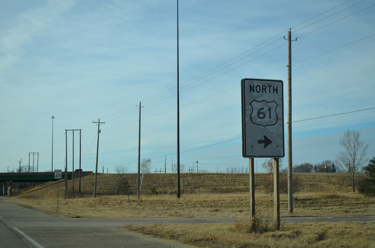
| A left turn takes motorists onto U.S. 61 north to DeWitt, Maquoketa and Dubuque. 03/25/16 |
|
| U.S. 61 extends north as a full freeway 18 miles from County Road F55 to the north side of DeWitt. 03/25/16, 01/01/15 |
|
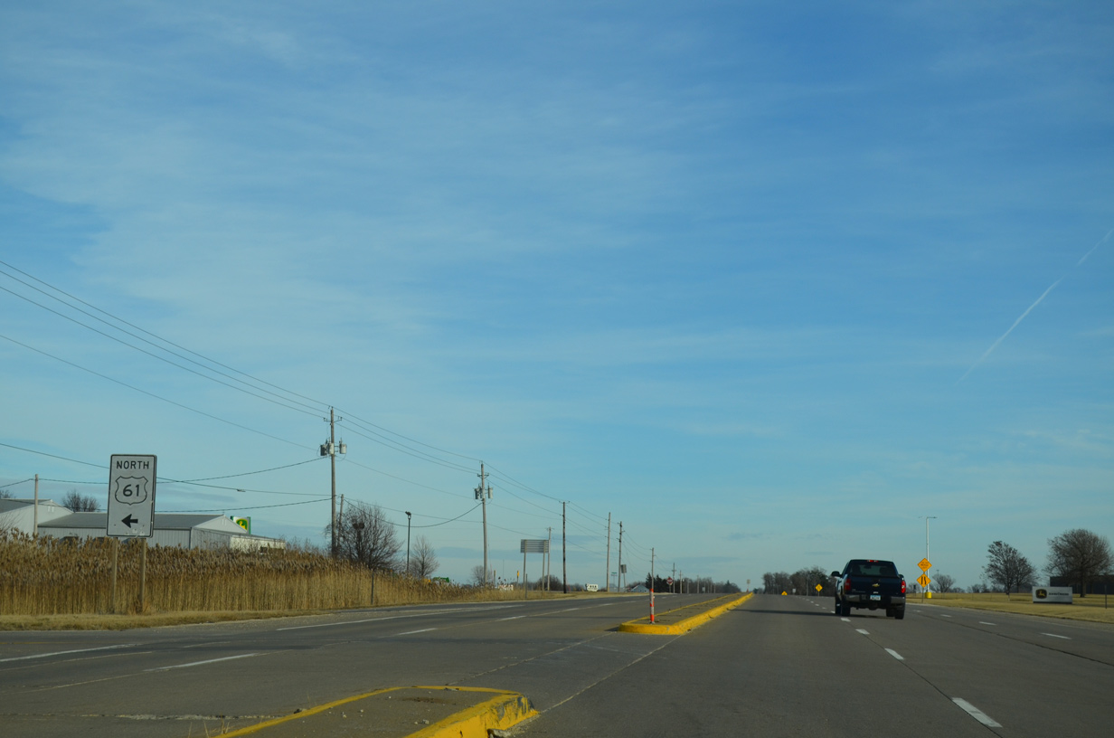
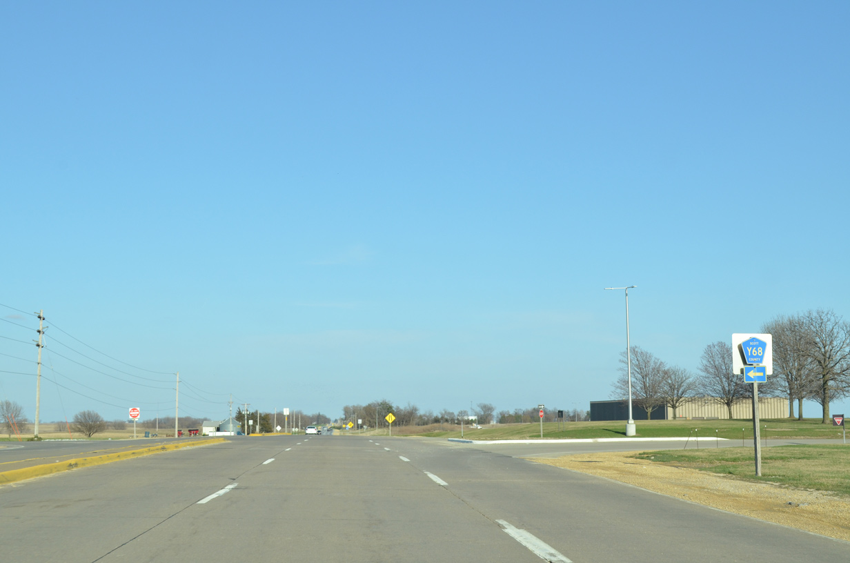
| County Road Y68 heads north from 90th Street along Veterans Way through Eldridge. 03/25/16 |
|
| Veterans Way leading north from CR F55 (90th Street). CR Y68 the follows the pre-freeway alignment of U.S. 61 north to Clinton County. 01/01/15 |
|
| CR Y55 (East 90th Street) runs along the north Davenport city line to Jersey Ridge Road. 03/25/16 |
|
| Jersey Ridge Road stems south from CR Y55 to enter the Davenport city limits in a half mile. 03/25/16 |
|
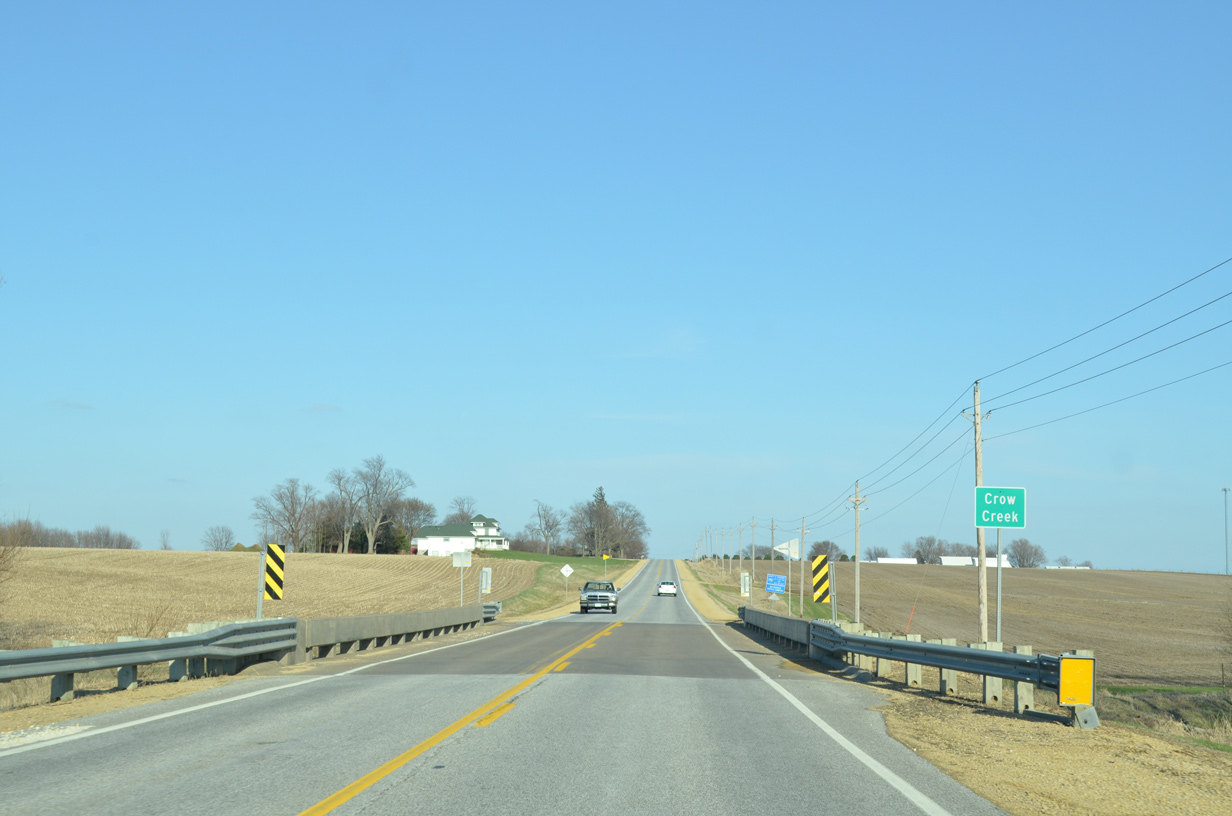
| Crossing Crow Creek just east of Jersey Ridge Road on CR Y55 (210th Street). 03/25/16 |
|
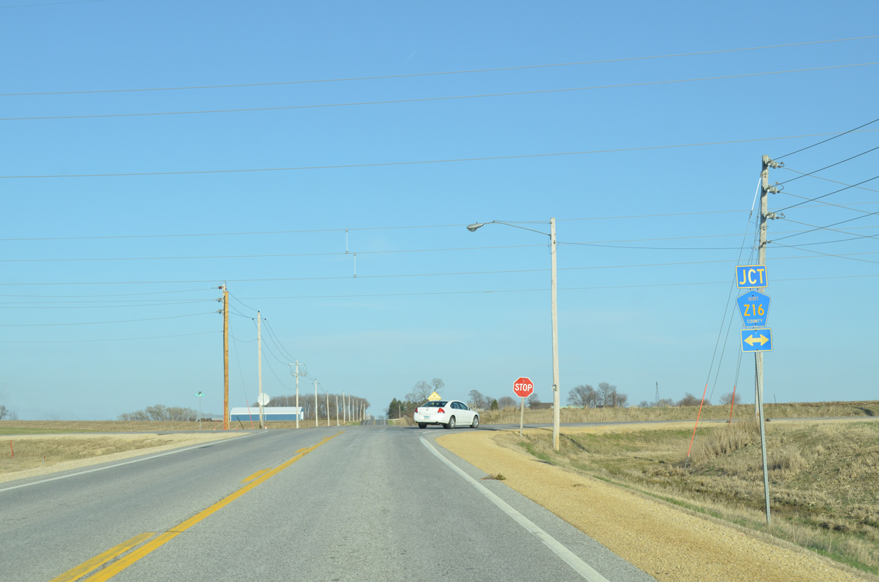
| Approaching County Road Z16 (Utica Ridge Road) on CR Y55 (220nd Street) east. Utica Ridge Road crosses I-80 southward to become a suburban boulevard through northeast Davenport and west Bettendorf. 03/25/16 |
|
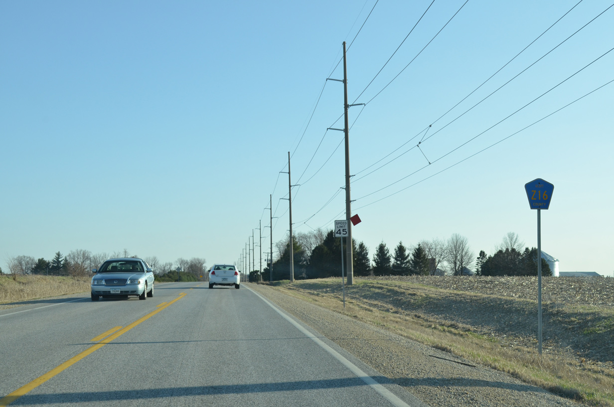
| CR Z16 (Utica Ridge Road) extends north from Davenport to Lost Grove Lake Wildlife Management Area and CR F33 west of McCausland. 03/25/16 |
|
| CR Z16 (Utica Ridge Road) concludes a half mile south of CR Y55 at the Davenport city line. 03/25/16 |
|
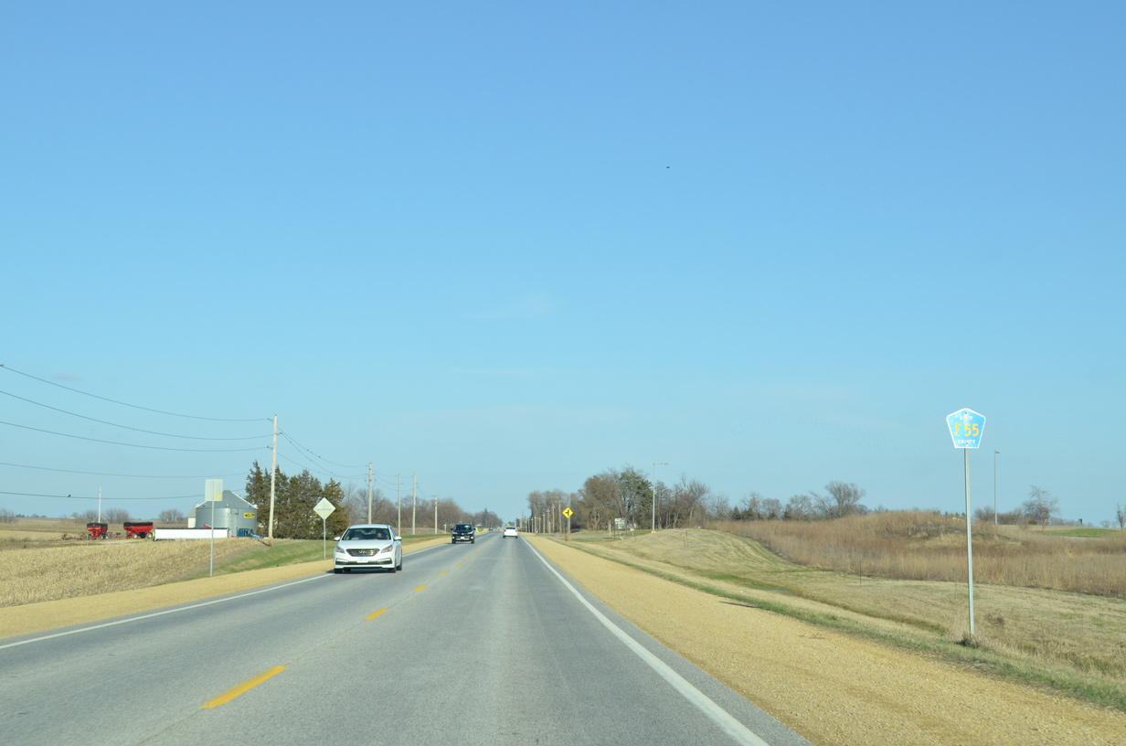
| Approaching the six-ramp parclo interchange with the U.S. 61 freeway along County Road F55 (90th Street) west at Mount Joy. 01/01/15 |
|
| U.S. 61 travels as a full freeway north 16 miles to DeWitt and a varying freeway and expressway from there to Dubuque. 01/01/15 |
|
| Outline signs for U.S. 61 were posted at various on-ramps along the U.S. 61 freeway in eastern Iowa. Few of these remain. 01/01/15 |
|
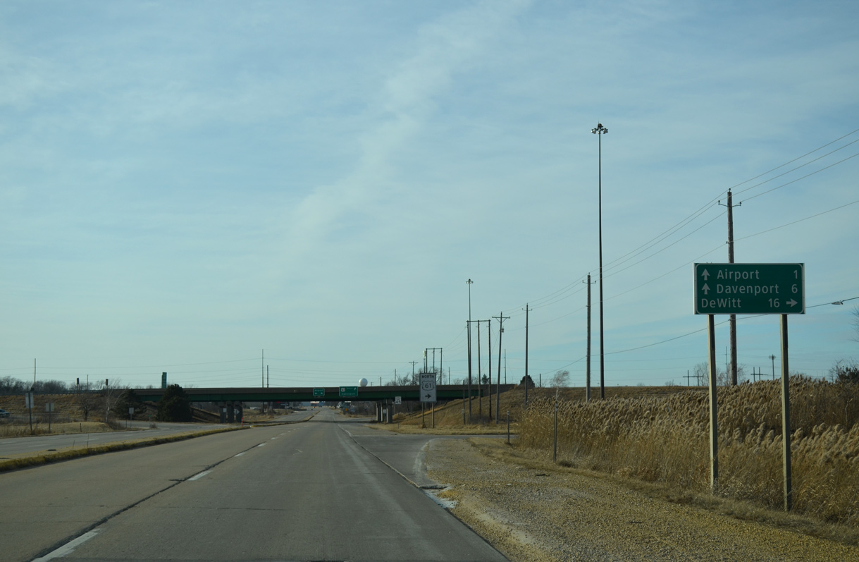
| A loop ramp follows onto U.S. 61 south to Interstate 80 and Brady Street (U.S. 61 Business) leading into Davenport. CR F55 extends a short distance westward to Davenport Municipal Airport (DVN). 01/01/15 |
|
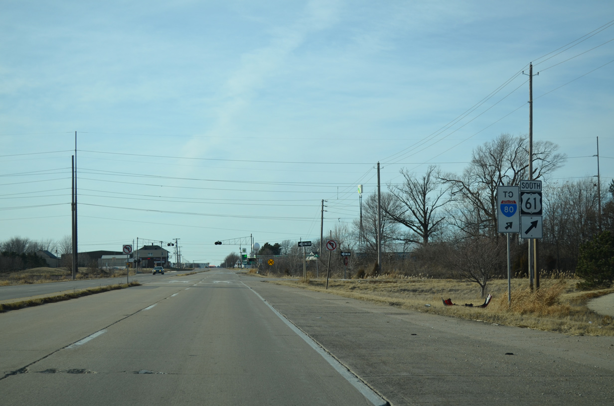
| U.S. 61 south merges onto Interstate 80 west one mile to the south. I-80 runs along northern reaches of Davenport and Bettendorf, primarily serving through traffic. 01/01/15 |
Page Updated 05-10-2018.