|
| San Diego County S-6 begins from the intersection of Border Avenue and Via de la Valle with Camino Del Mar south and Highway 101 north. Via de la Valle leads the county road east along the Solana Beach and Del Mar city limits to Valley Avenue. 09/01/12 |
|
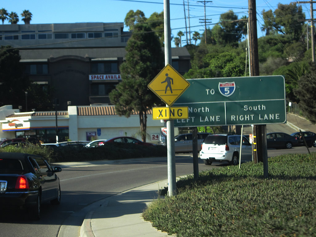
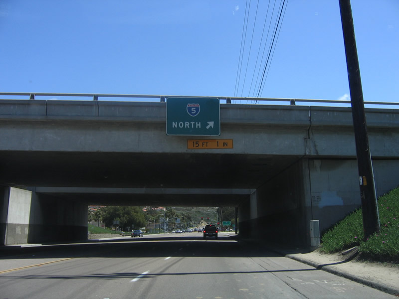
| A guide sign directs traffic from Jimmy Durante Boulevard and the Del Mar Racetrack onto Via de la Valle east into the adjacent parclo B2 interchange with Interstate 5. 08/18/12 |
|
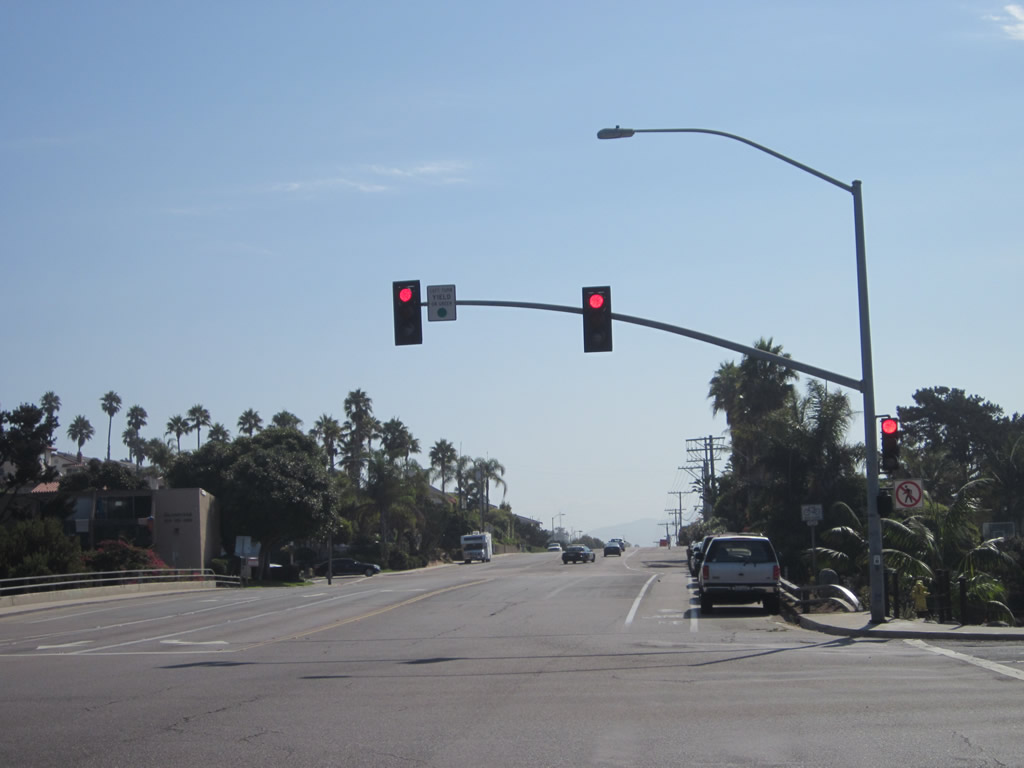
| Interstate 5 crosses the San Dieguito River south from Via de la Valle en route to Downtown San Diego. 08/18/12 |
|
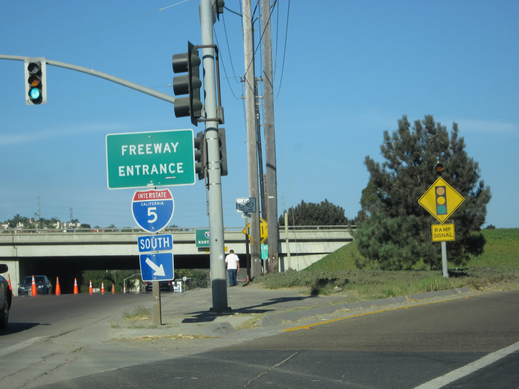
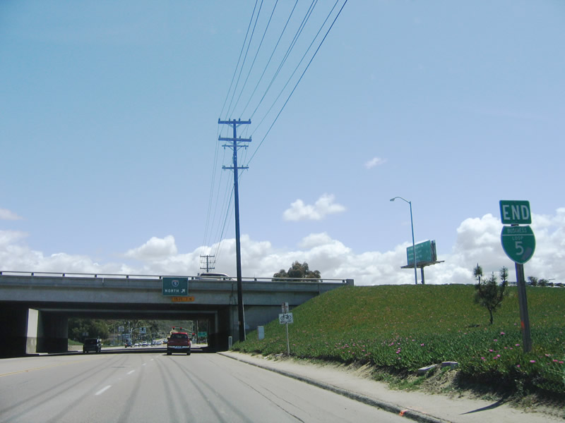
| An extant end Business Loop I-5 shield assembly remains posted along CR S-6 (Via de la Valle) at its exchange with Interstate 5. The business route was largely decommissioned and unsigned by 2000, but this sign was still posted as of December 2016. 04/23/06 |
|
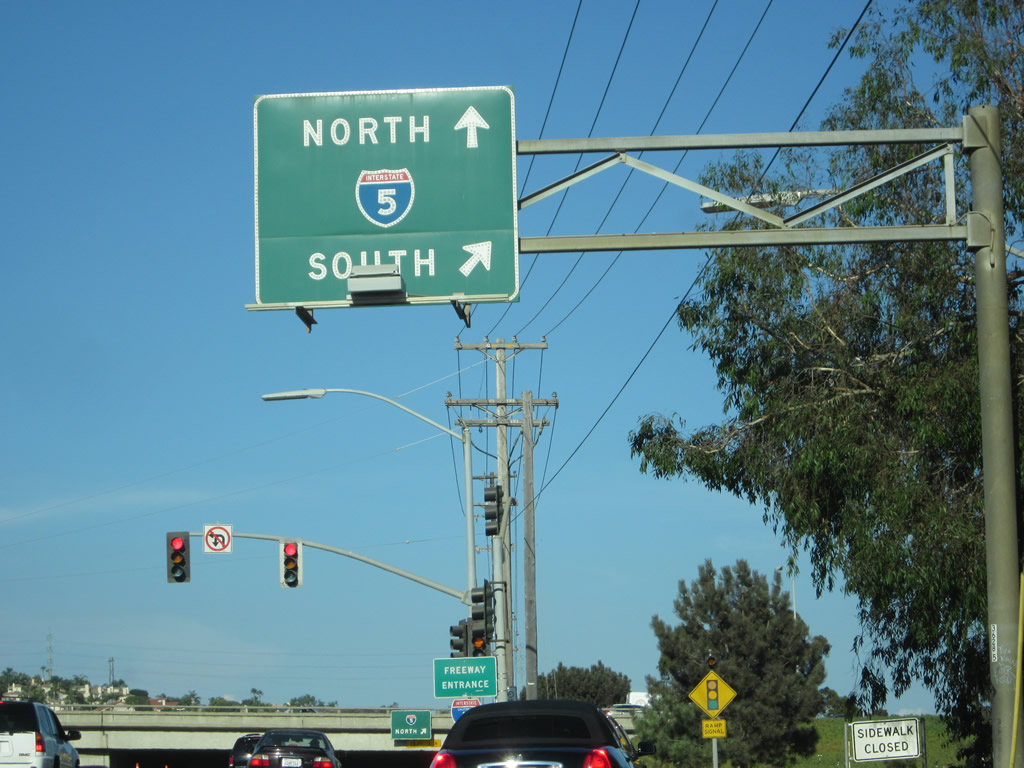
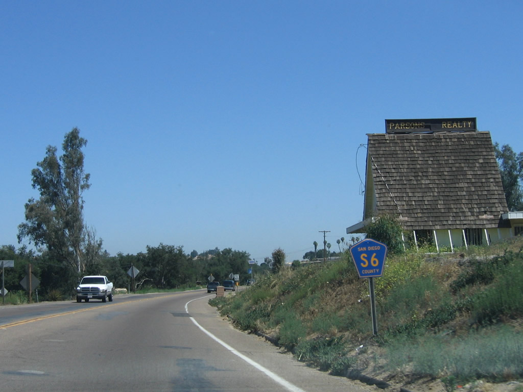
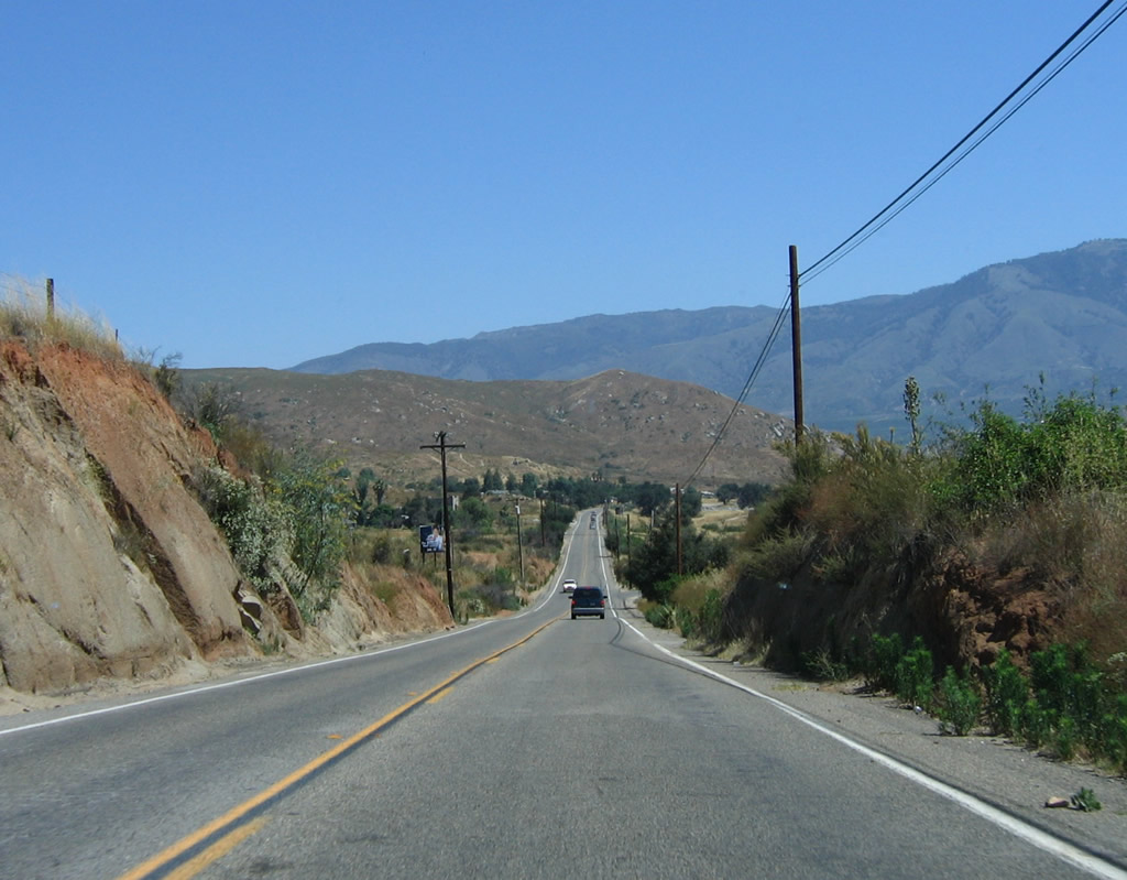
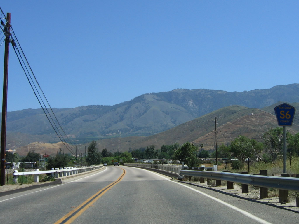
| A loop ramp follows from CR S-6 east onto Interstate 5 north to Oceanside, Santa Ana and Los Angeles. San Diego County S-6 continues east into San Diego, passing by Flower Hill on its way to Rancho Santa Fe and Escondido via Del Dios Highway. 04/23/06 |
|
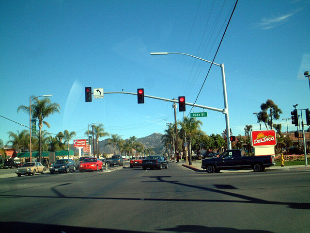
| Valley Parkway leads County Road S-6 east from Downtown Escondido as a four lane commercial arterial. Pictured here is the intersection with Rose Street. 05/20/02 |
|
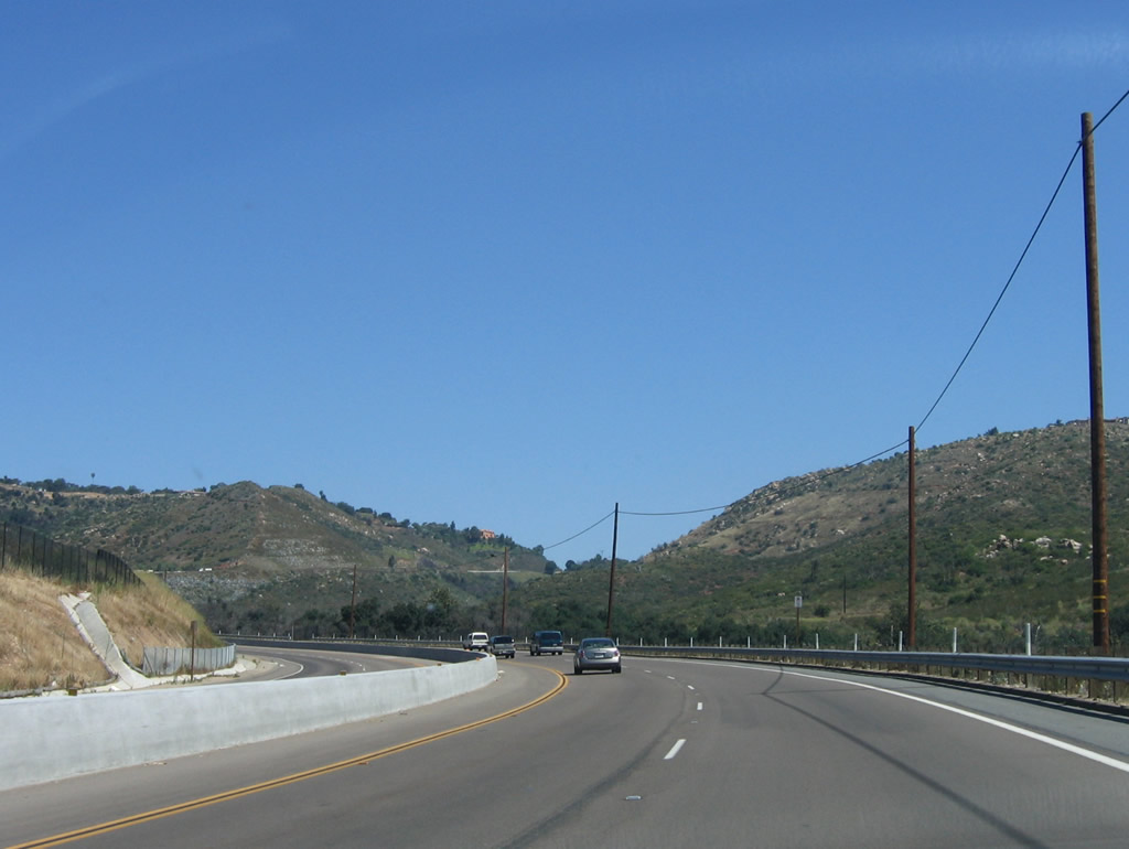
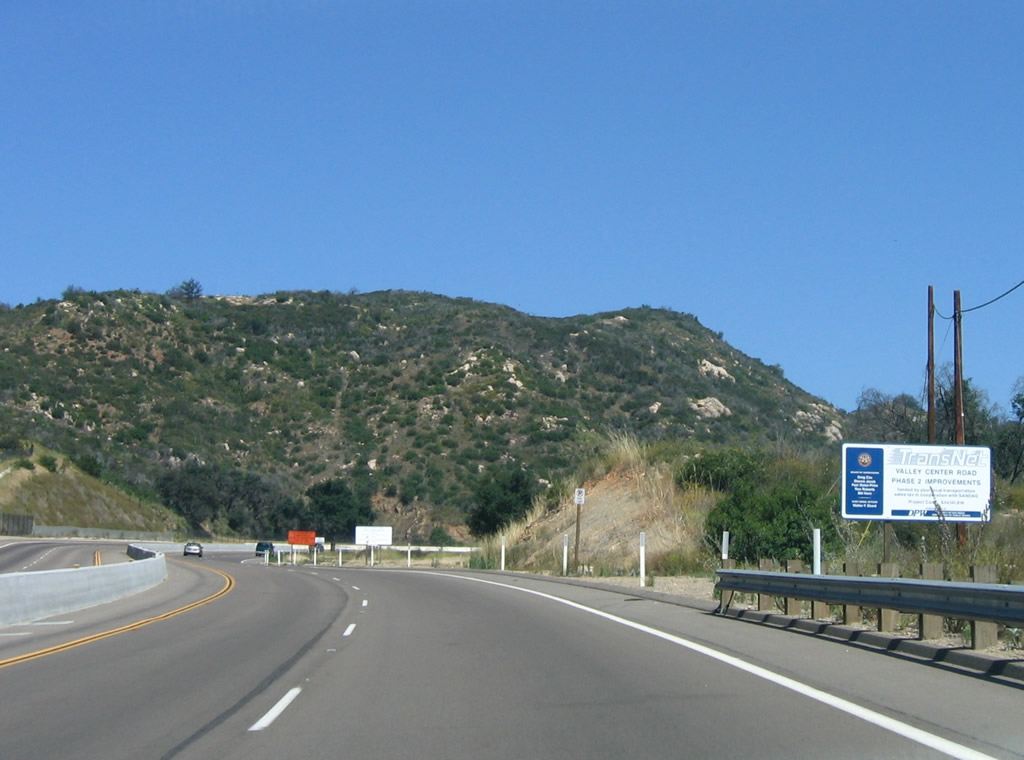
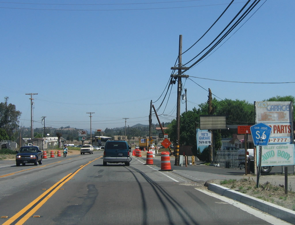
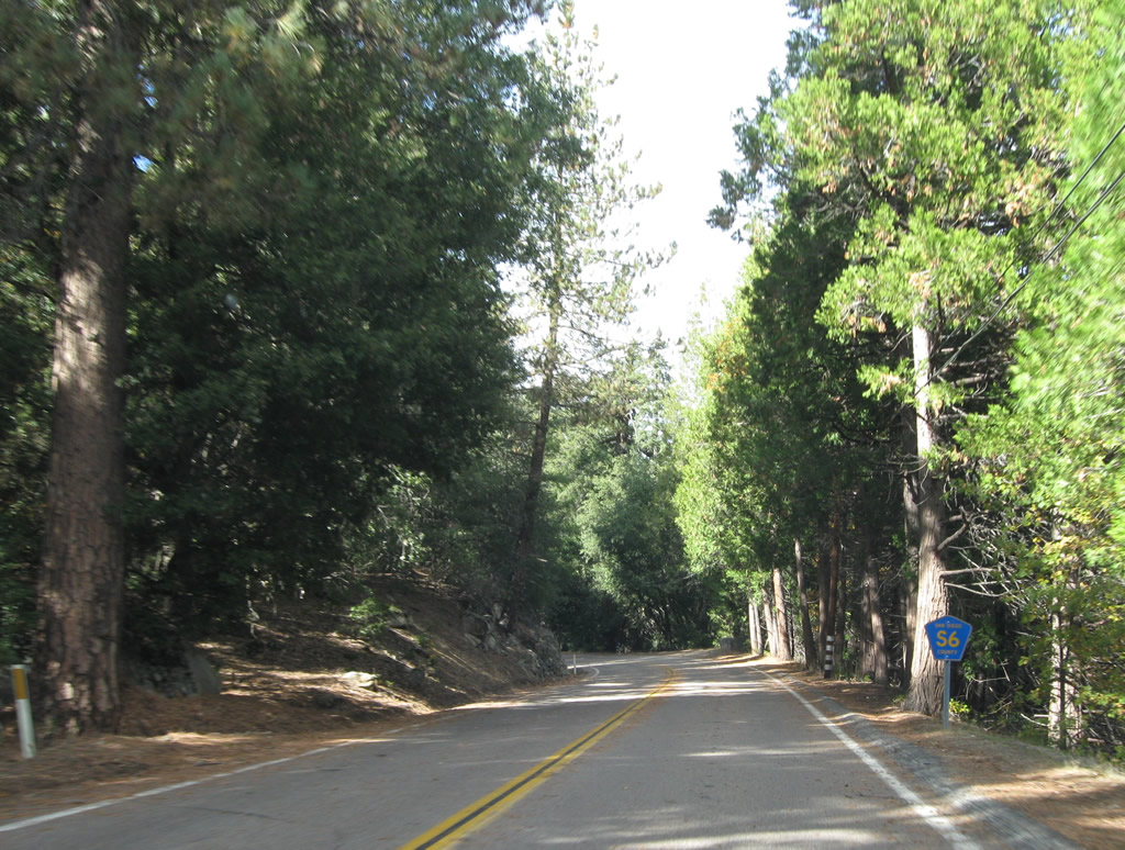
| Portions of CR S-6, which is designated as Valley Center Road, were widened to four lanes northward from the city of Escondido to unincorporated community of Valley Center. Some of the increased volume can be attributed to expanded housing and residential development along the corridor, while gambling associated with Indian casinos further added to traffic counts. 06/16/06 |
|
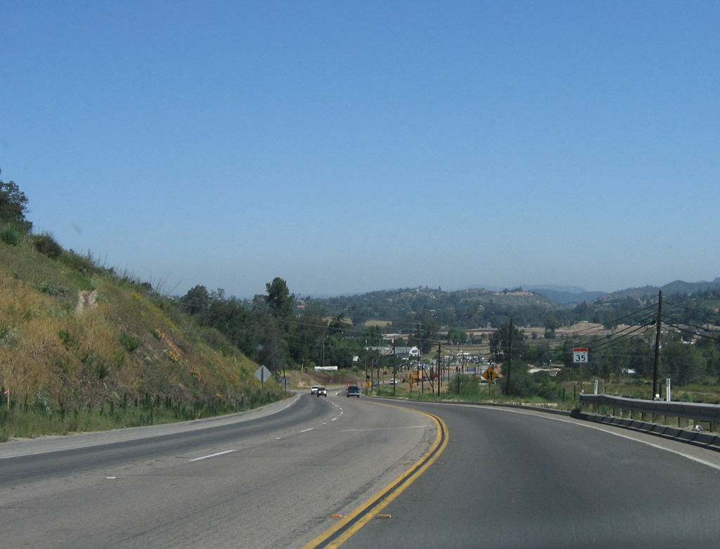
| Advancing north through a valley west of Bear Ridge, County Road S-6 previously narrowed to two lanes into Valley Center. The highway was expanded initially to four lanes from Ridge Ranch Road north to Woods Valley Road. 06/16/06 |
|
| Construction in 2006-07 expanded County Road S-6 9Valley Center Road) into a five lane arterial north from Woods Valley Road. 06/16/06 |
|
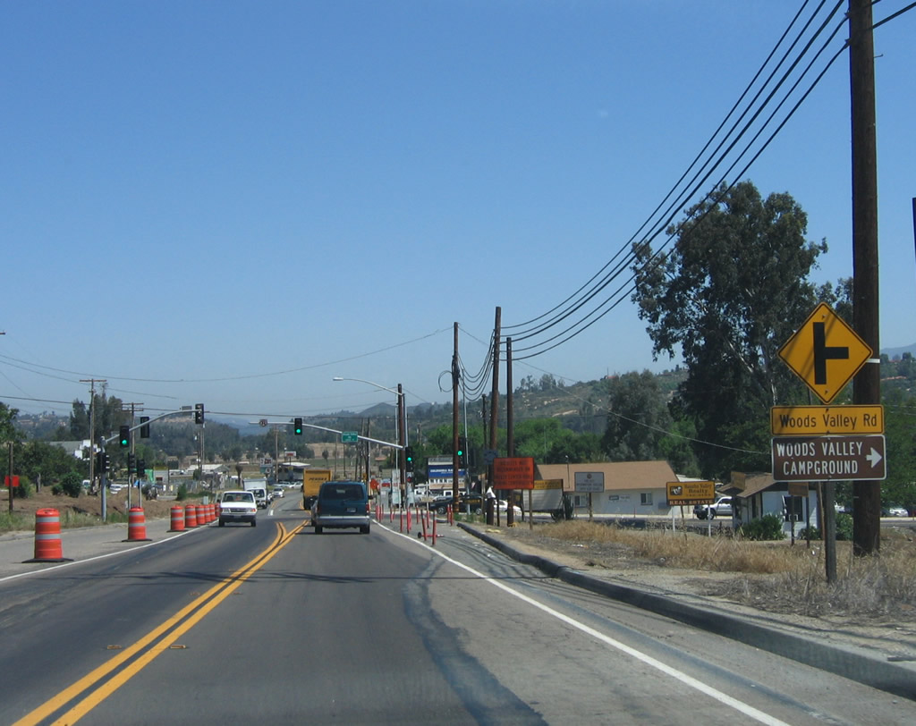
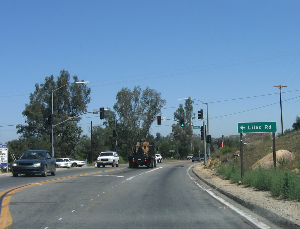
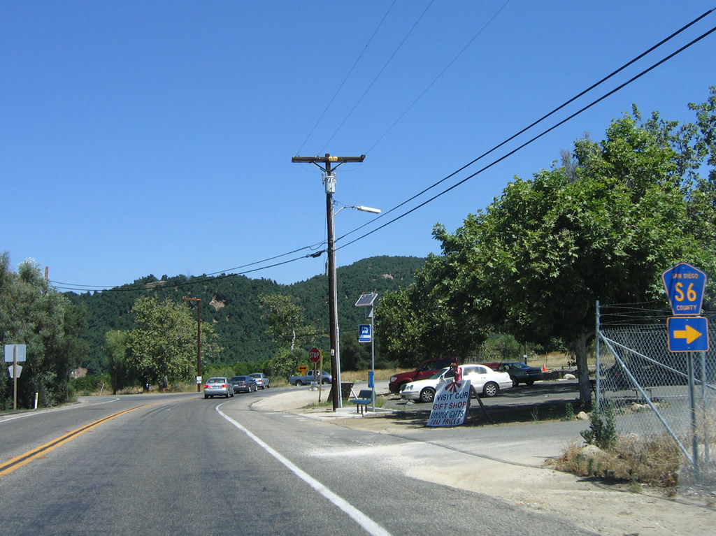
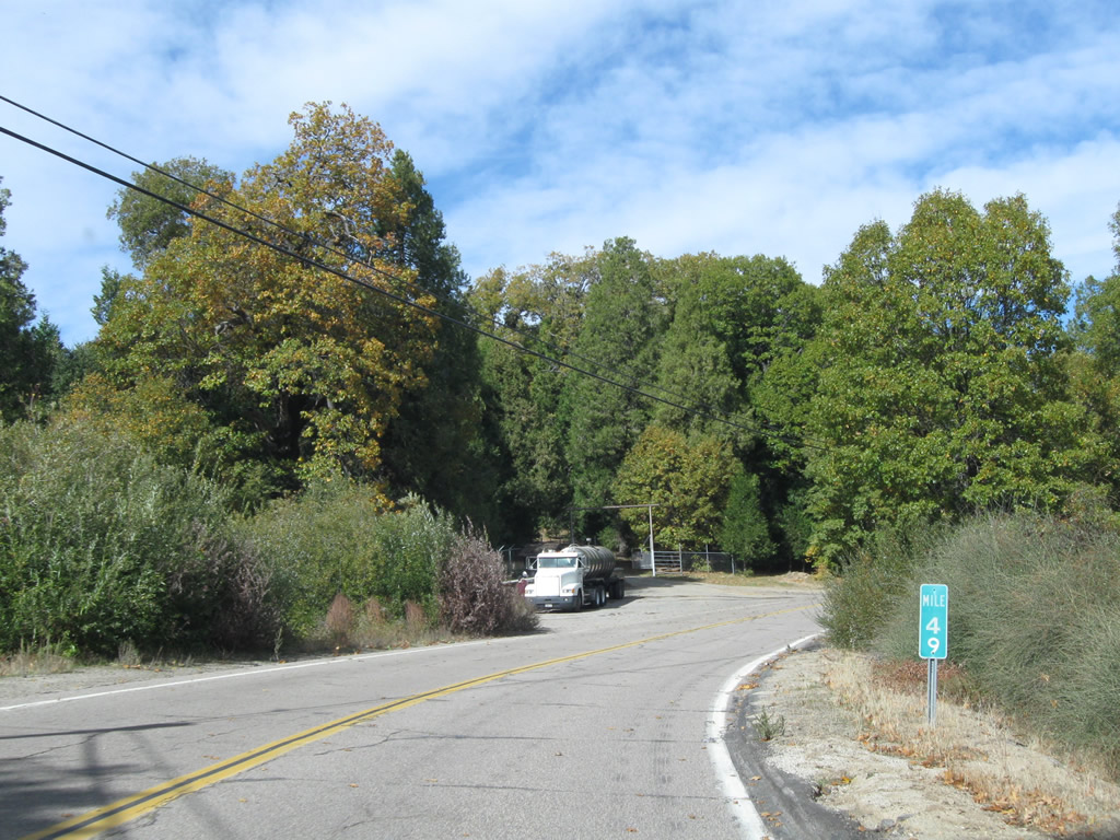
| Lilac Road stems northwest from S-6 toward the community of Lilac and SR 76 at Pala. 06/16/06 |
|
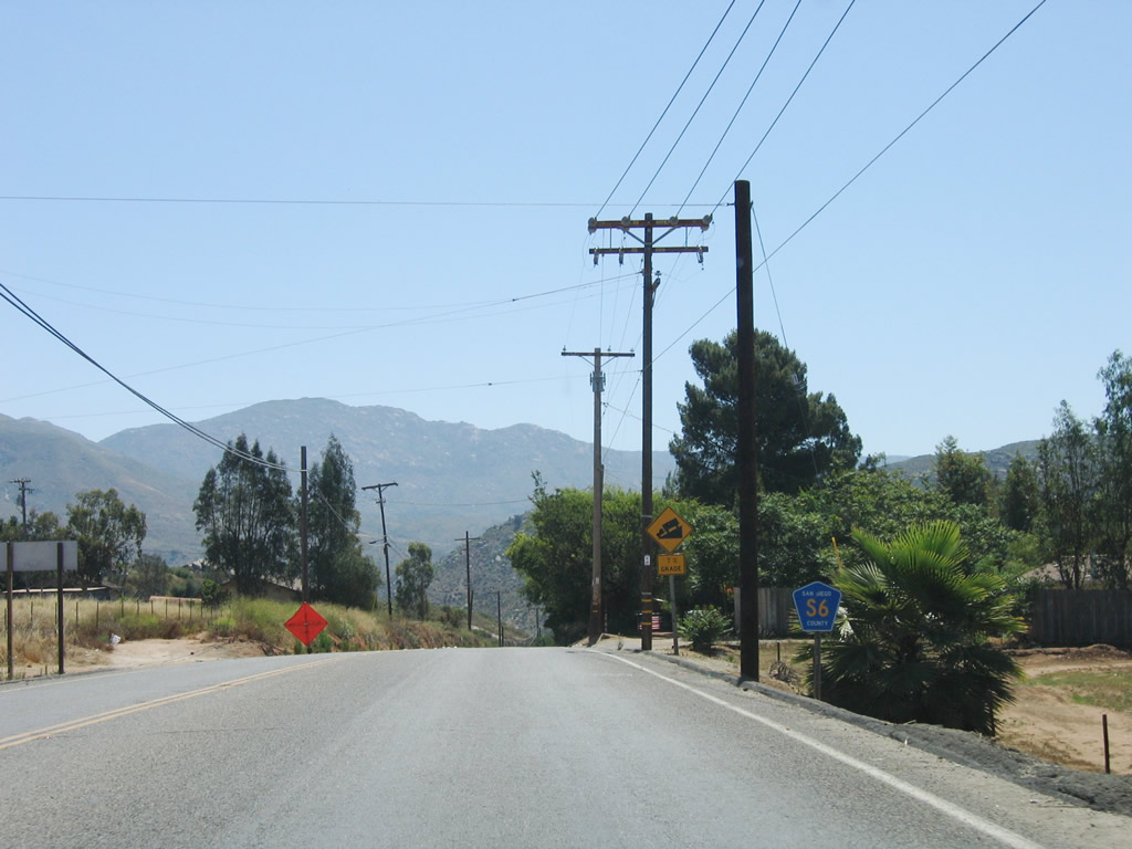
| Reassurance marker posted north of Lilac Road for CR S-6 on Valley Center Road north. Expansion of the county road extended the four lane section to Cole Grade Road. 06/16/06 |
|
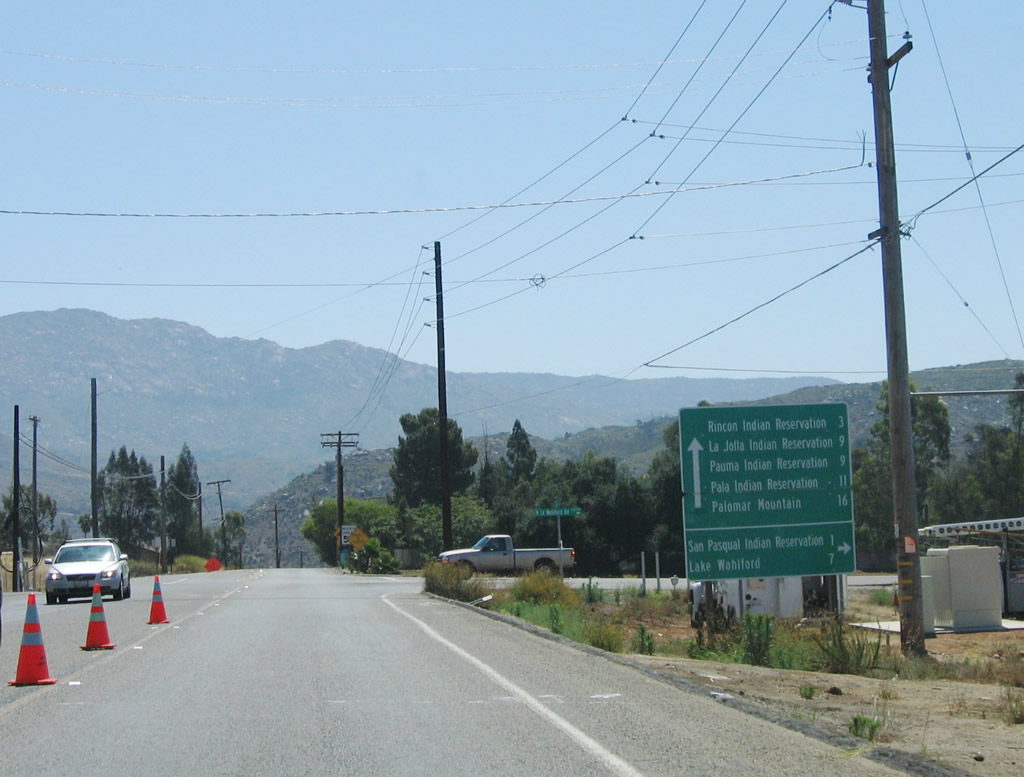
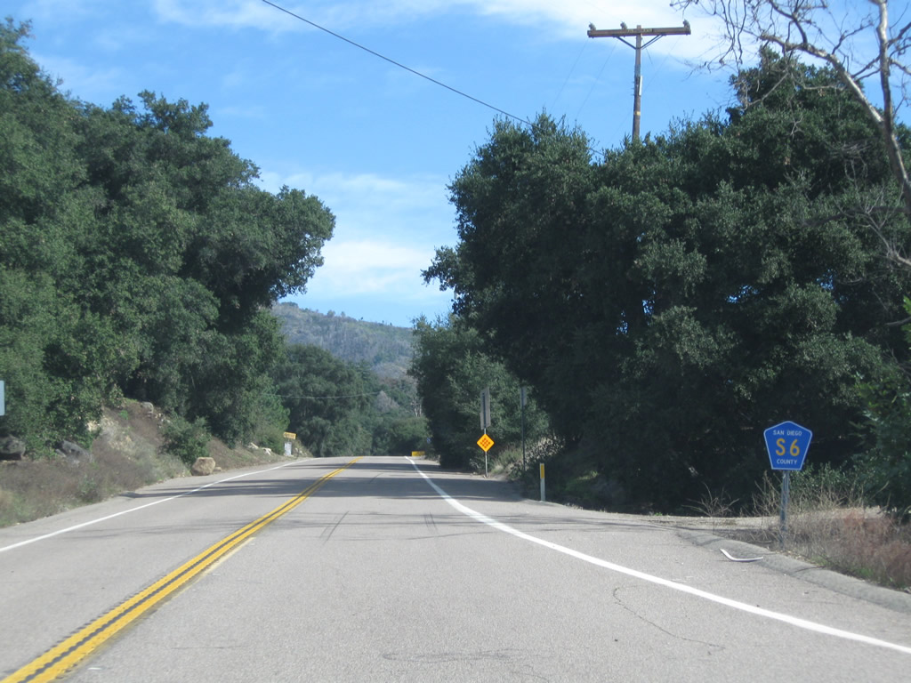
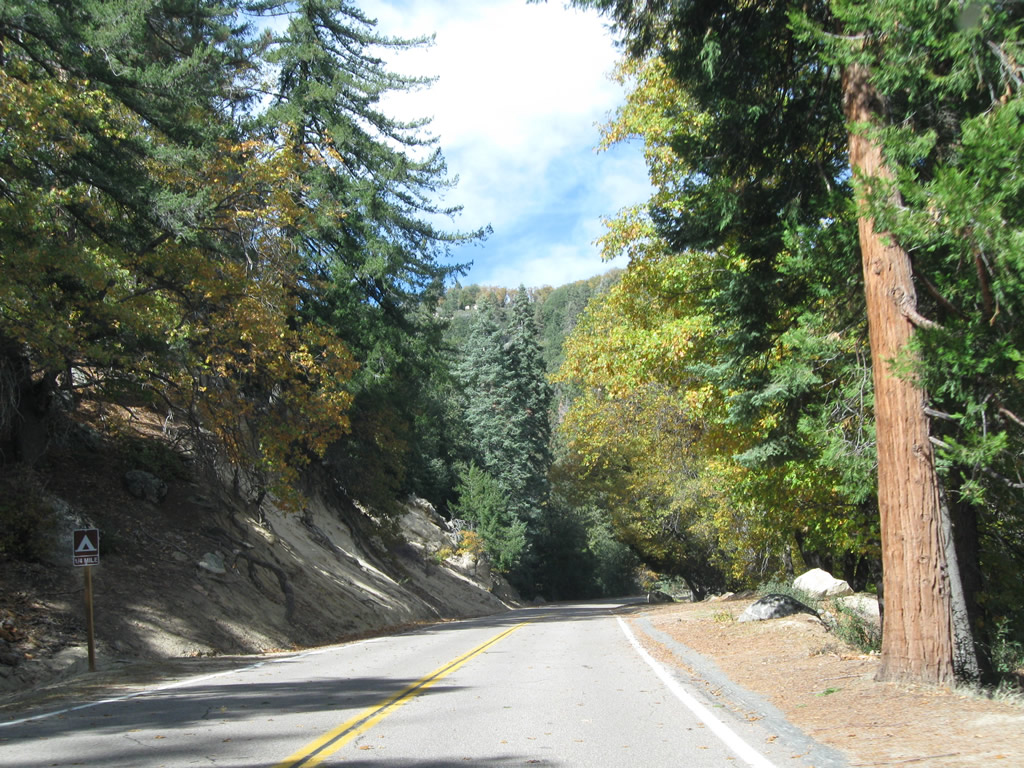
| County Road S-6 (Valley Center Road) straightens out eastward across mostly agricultural land and rural residential areas to Lake Wohlford Road. Lake Wohlford Road heads south to San Pasqual Indian reservation and Valley View Casino and Hotel. 06/16/06 |
|
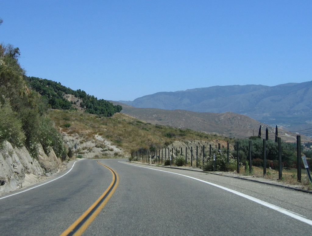
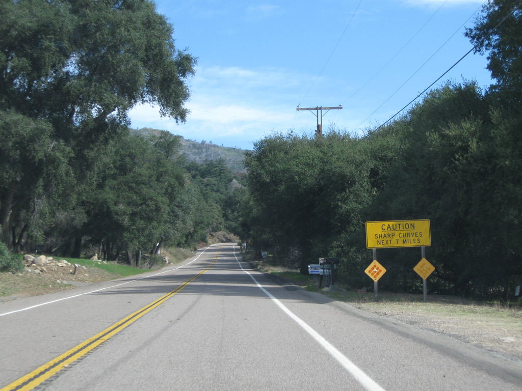
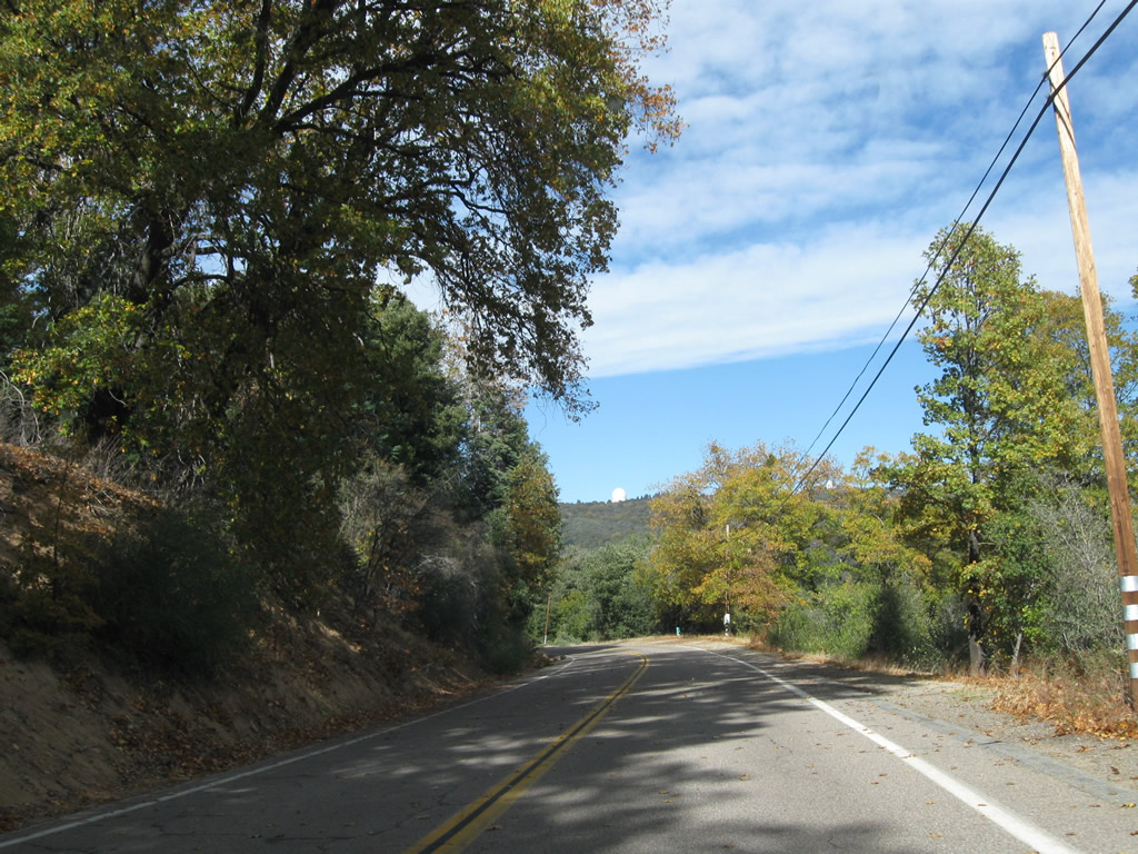
| Continuing east from Lake Wohlford Road along CR S-6. Speed limits are posted along this stretch at 55 miles per hour. 06/16/06 |
|
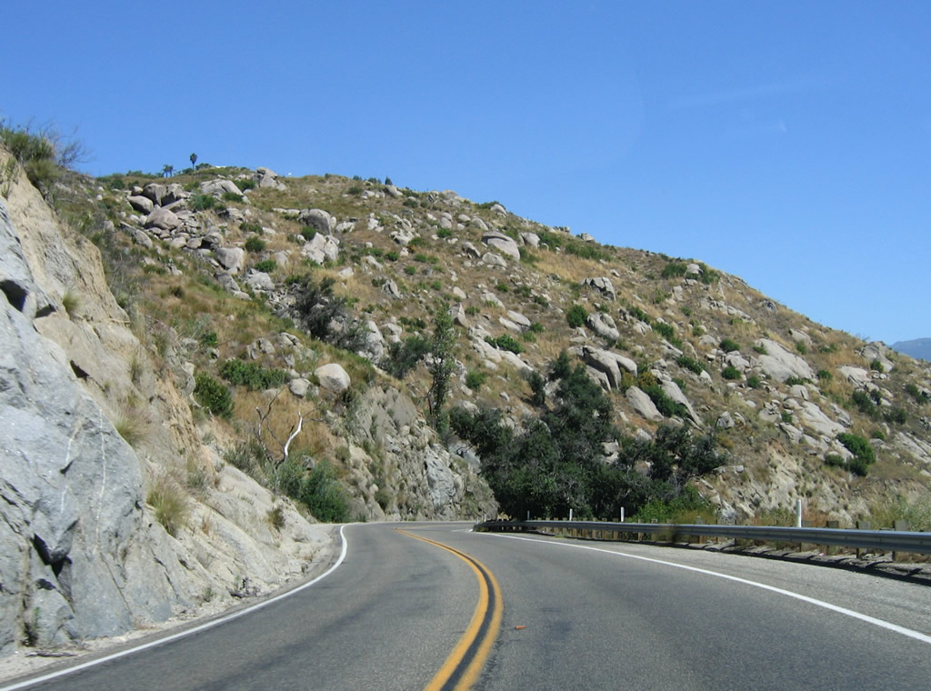
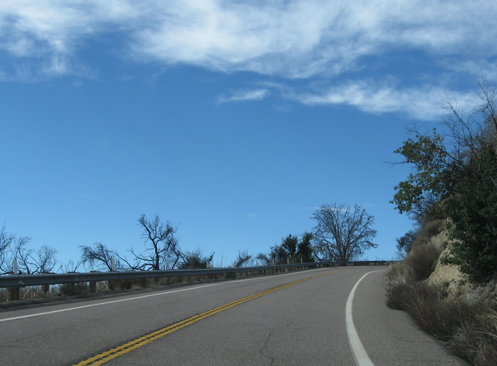
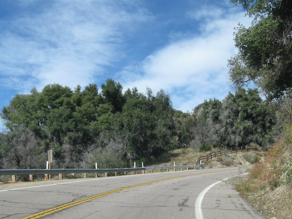
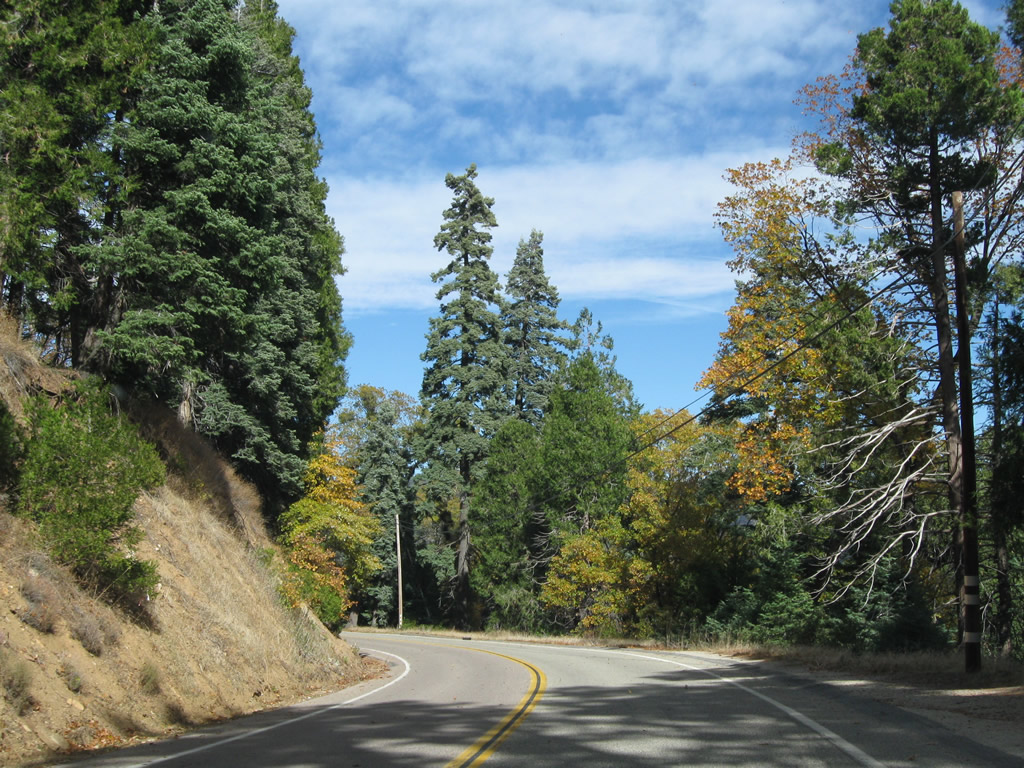
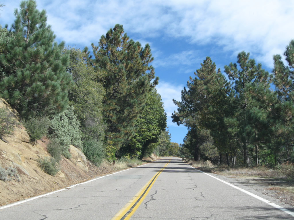
| CR S-6 makes a series of S-curves as it turns north alongside Paradise Creek to Rincon Indian Reservation. 06/16/06 |
|
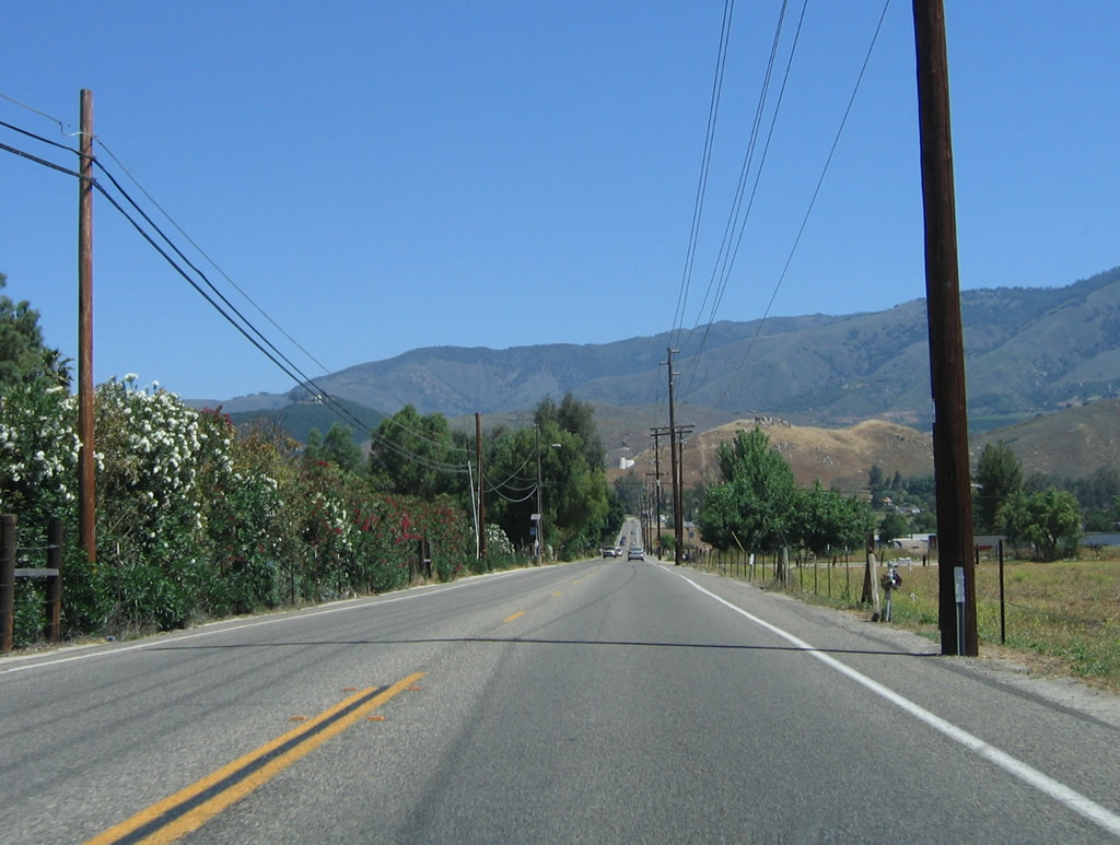
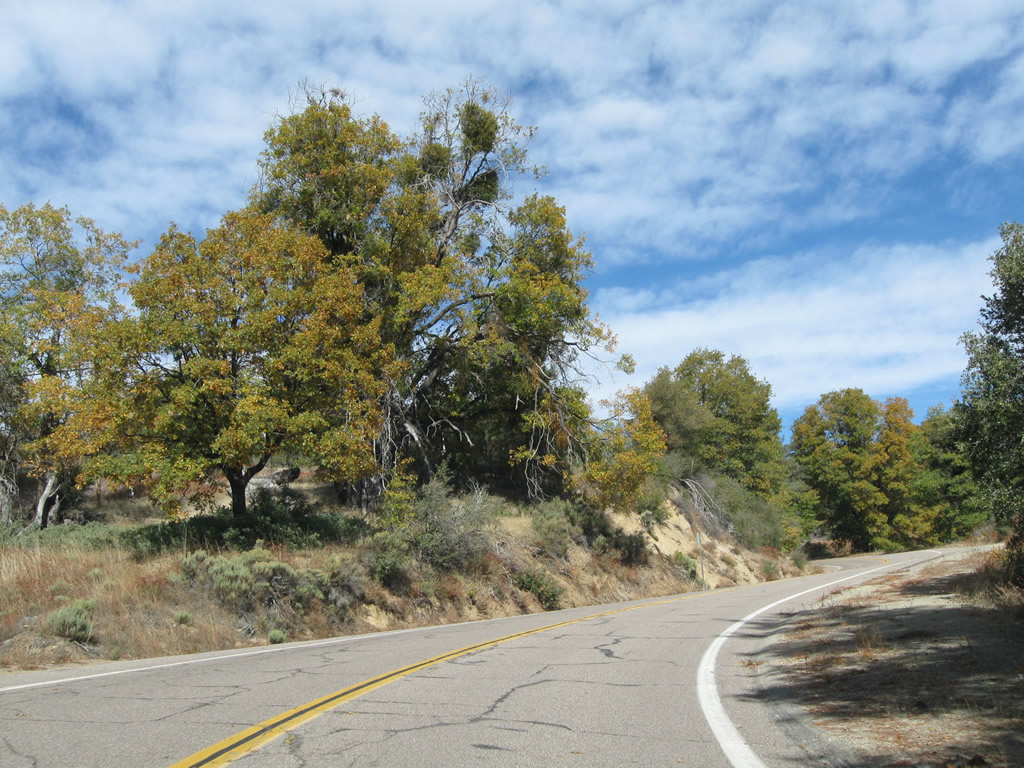
| San Diego County S-6 straddles the edge of Paradise Creek valley as Palomar Mountain comes into view. 06/16/06 |
|
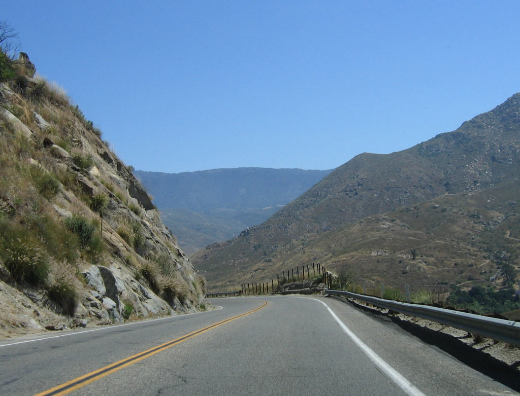
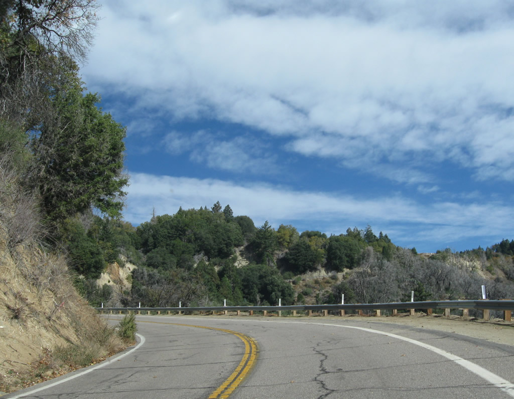
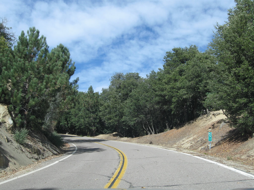
| Northbound motorists along CR S-6 gradually lower into Rincon Indian Reservation. Photos taken 06/16/06. 06/16/06 |
|
| Northbound S-6 (Valley Center Road) spans the San Luis Rey River on a bridge that opened in May 2011. Pictured here was the 1939-built bridge with classic era features such as divoted curbing and white, wooden railing. This span was deficient in terms of lane width with both a lack of shoulders and pedestrian walkways. Additionally bridge foundations were susceptible to scour damage caused by high water flows. 06/16/06 |
|
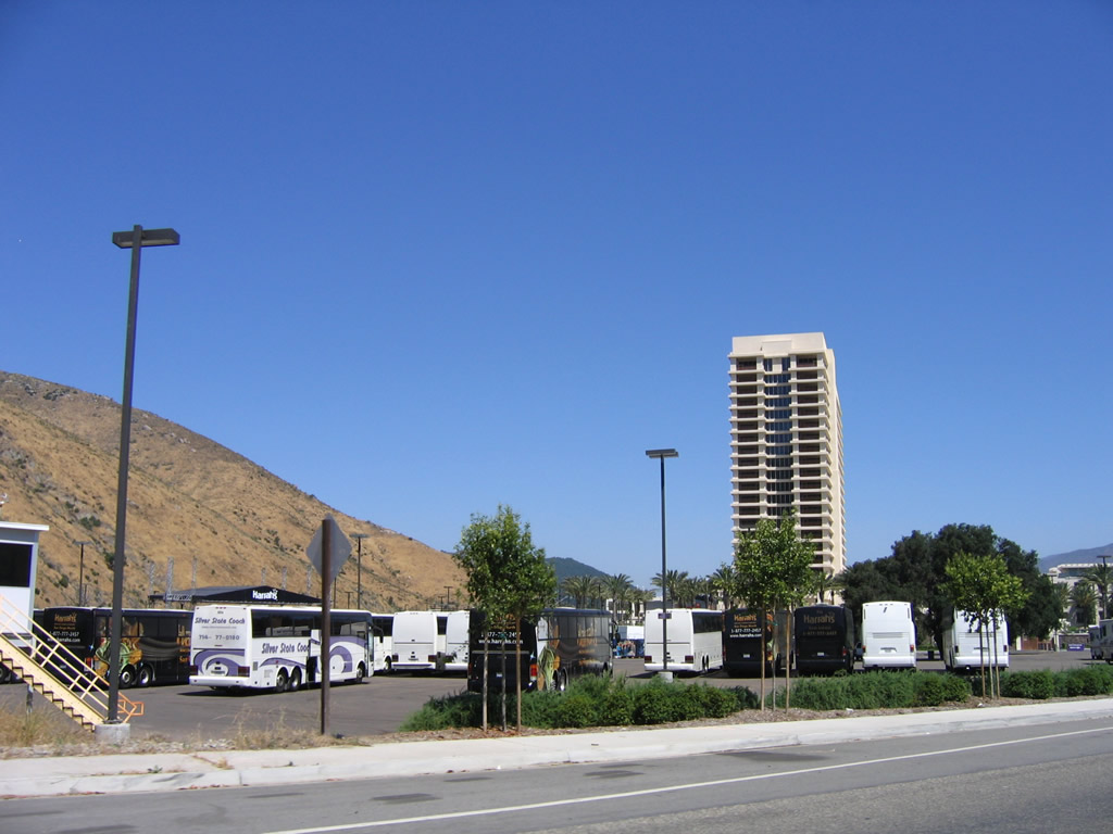
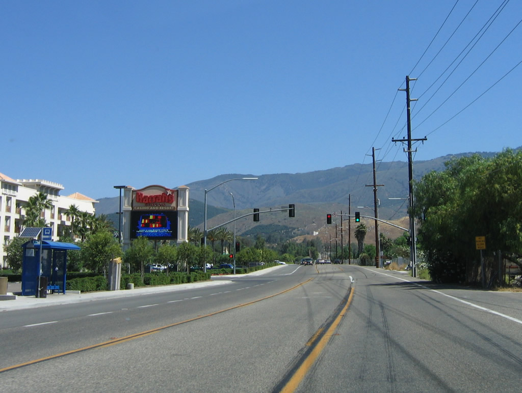
| Once beyond the north banks of the river, CR S-6 passes by Harrah's Rincon Casino and Resort, which includes a high rise hotel. The casino-resort opened in 2002 and has since expanded. 06/16/06 |
|
| CR S-6 continues north through the Rincon Indian Reservation toward a rendezvous with SR 76. 06/16/06 |
|
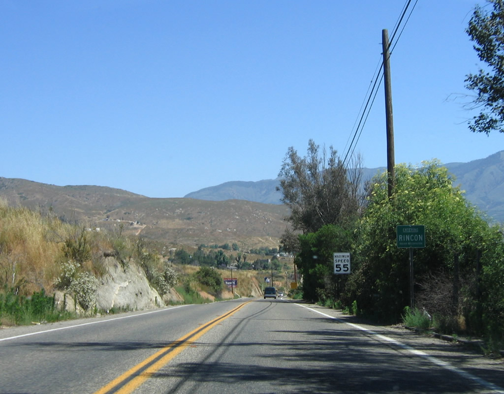
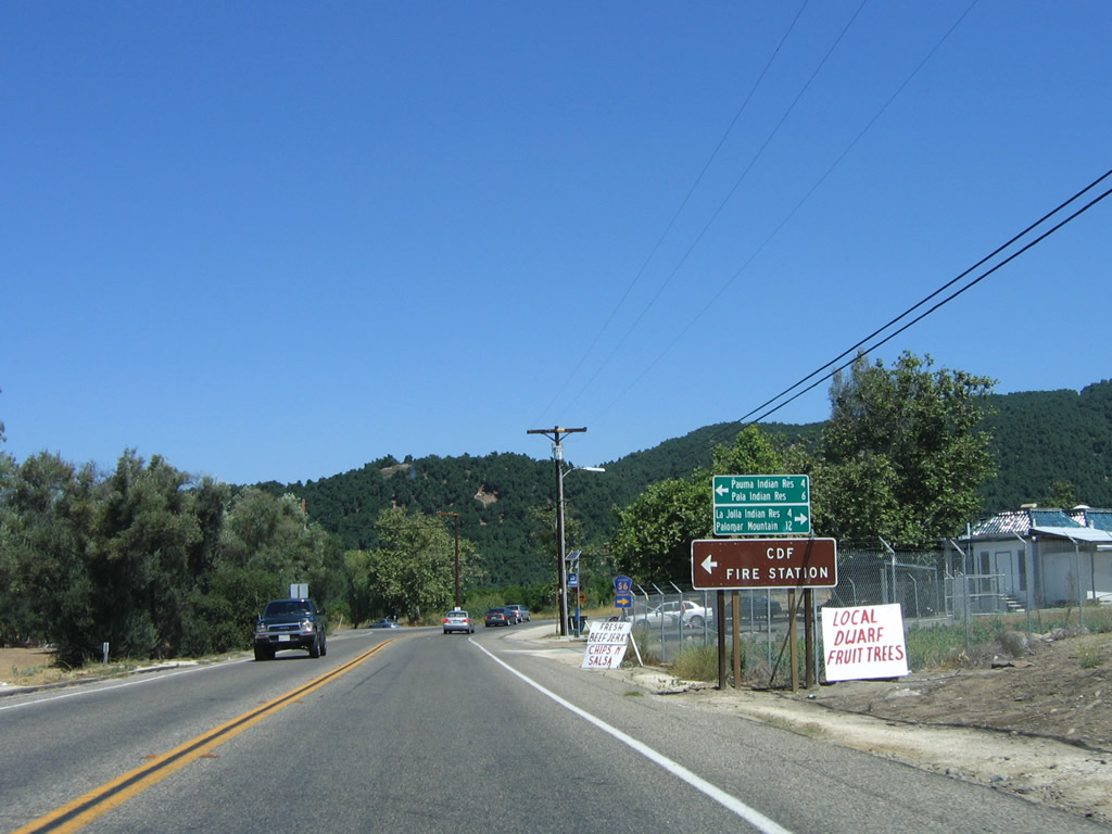
| The county road bends northwest leading to SR 76 at the settlement of Rincon. SR 76 travels west to Pauma and Pala Indian Reservations. 06/16/06 |
|
| SR 76 & CR S-6 overlap for 5.0 miles from Rincon to South Grade Road. SR 76 extends east beyond their concurrency toward Lake Henshaw, Santa Ysabel, Warner Springs and Julian. 06/16/06 |
|
| San Diego County S-6 branches east from SR 76 along South Grade Road ahead of this confirming marker. 11/10/10 |
|
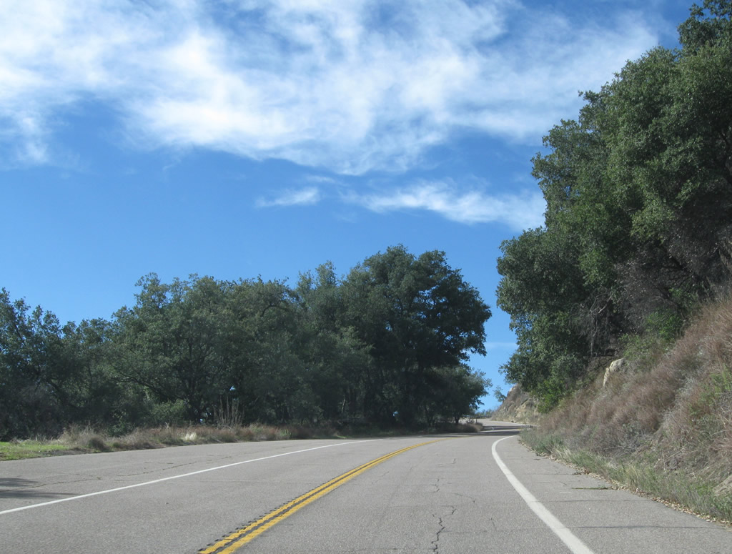
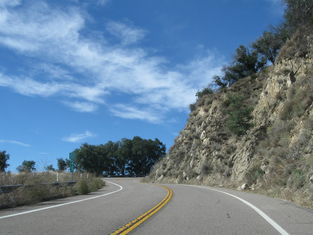
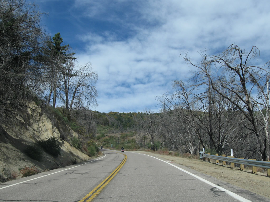
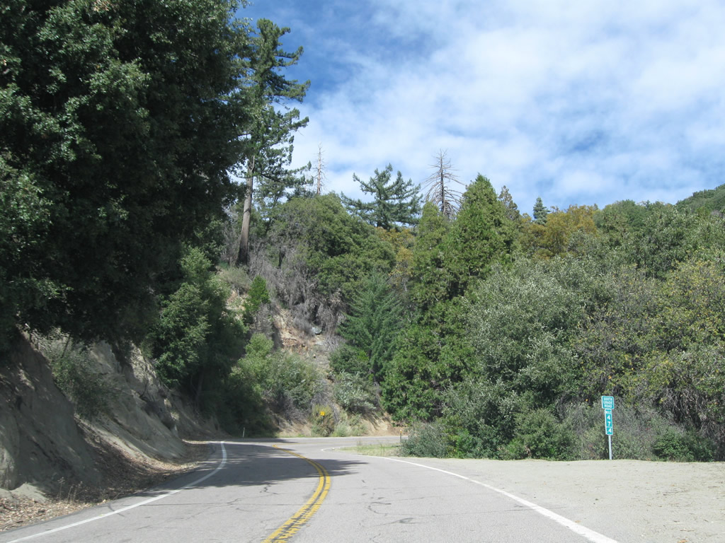
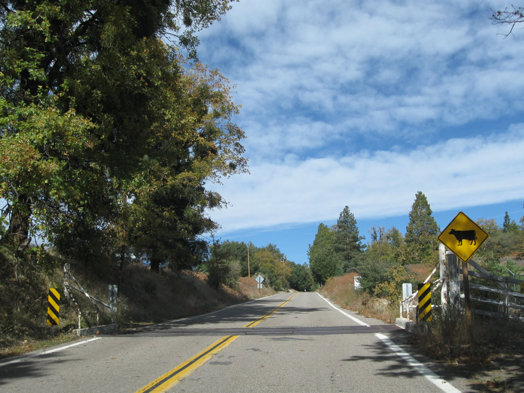
| Similar to SR 76, San Diego County S-6 sees a number of switchbacks and hairpin turns as it ascends Palomar Mountain. In addition to the observatory, several residences are located on the mountain, as well as Palomar Mountain State Park. 11/10/10 |
|
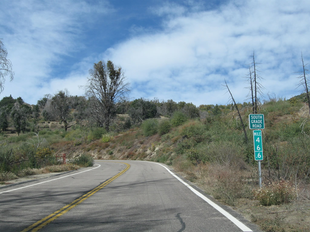
| Unlike Caltrans, San Diego County uses green mileposts on its county-maintained roadways, so occasionally mile markers track mileage from the south end of CR S-6 in Del Mar and Solana Beach. 11/10/10 |
|
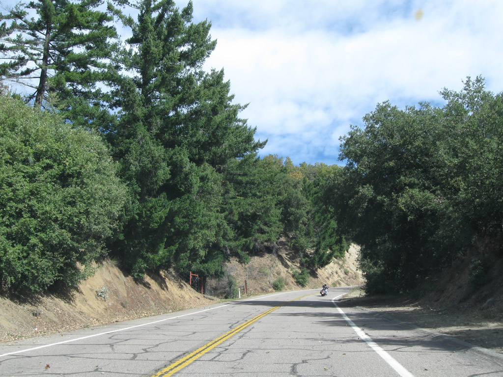
| San Diego County S-6 ascends from Pauma Valley to Palomar Mountain. Motorists taking this stretch encounter sharp turns and slow speeds. Stopped traffic or slow-moving vehicles may be found as well. 11/10/10 |
|
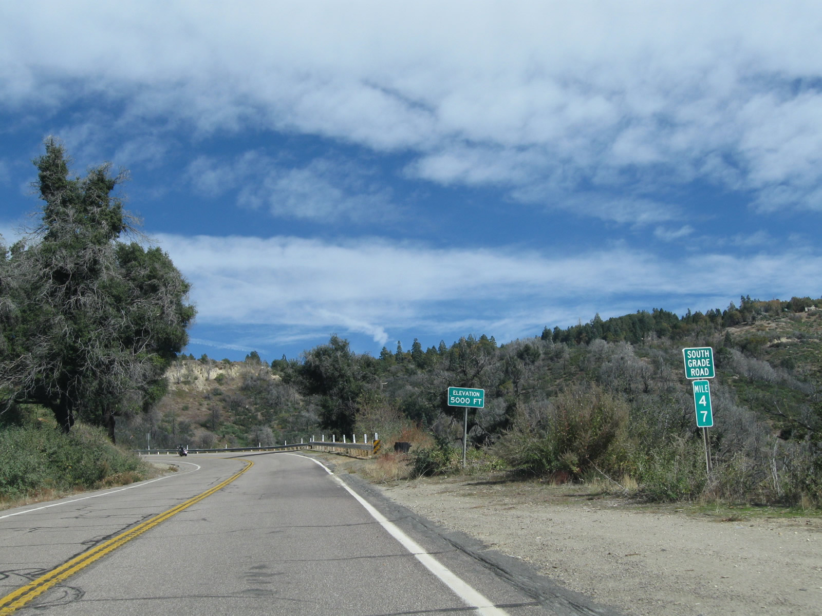
| CR S-6 (South Grade Road) reaches an elevation of 5,000 feet above sea level at milepost 47. 11/10/10 |
|
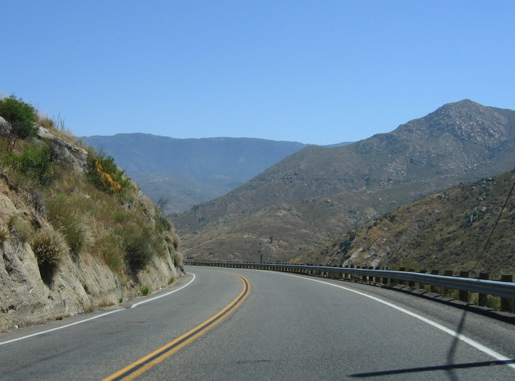
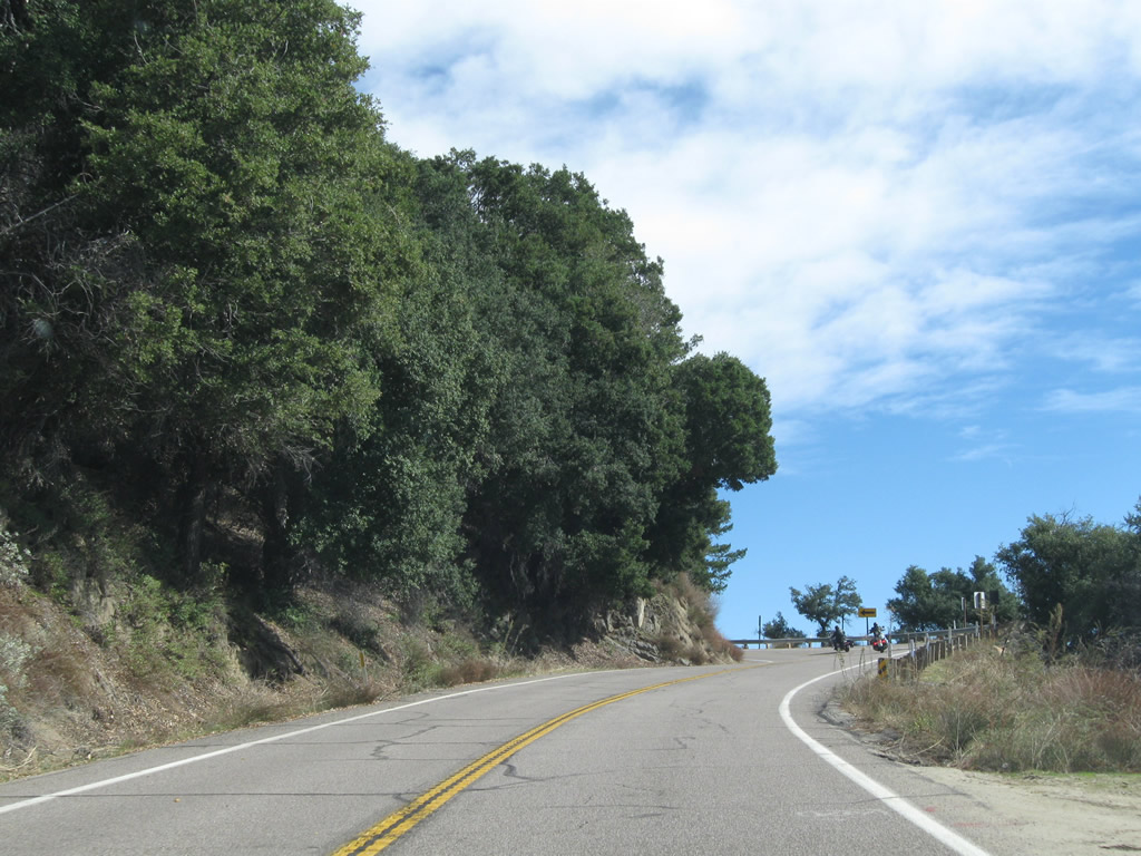
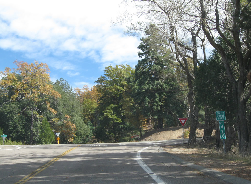
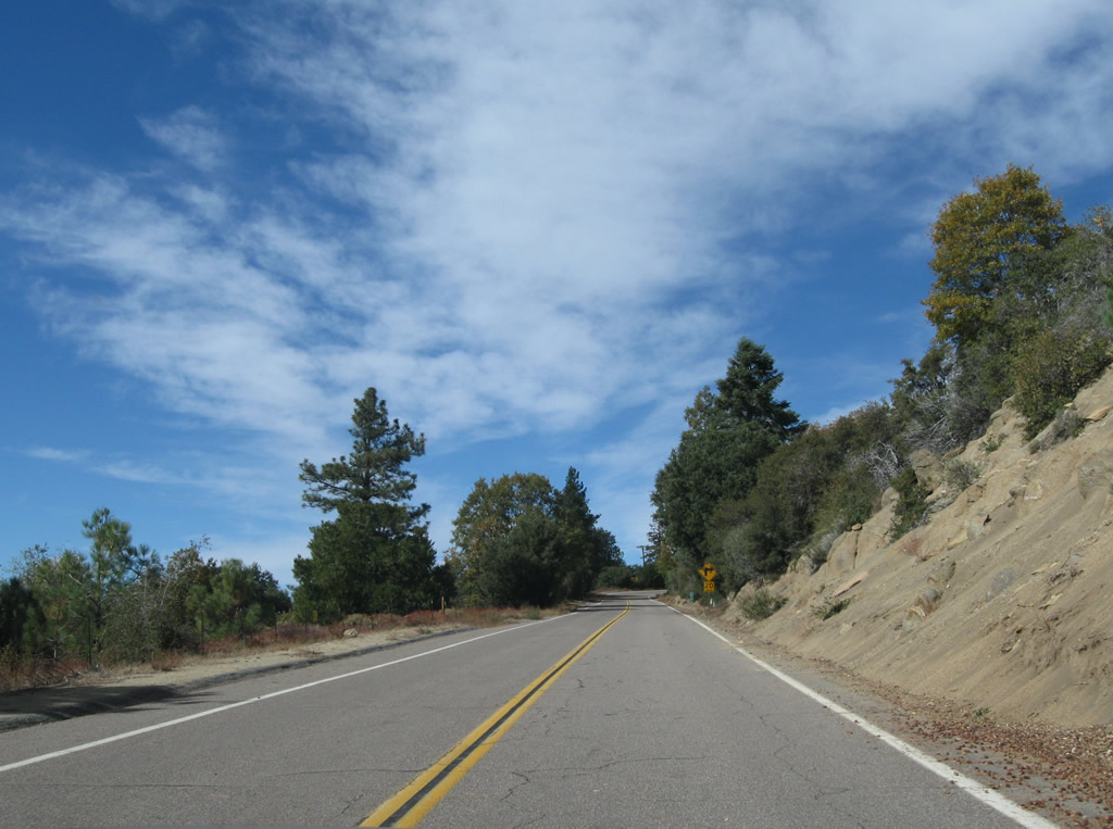
| A number of additional S-curves takes San Diego County S-6 (South Grade Road) north from Frazier Point toward San Diego County S-7 (East Grade Road). 11/10/10 |
|
| San Diego County S-7 (East Grade Road) meanders southeast by Birth Hill to Dyche Valley and Lake Henshaw. 11/10/10 |
|
| County Roads S-6 and S-7 briefly combine north from a wide intersection opposite Summit Circle. 11/10/10 |
|
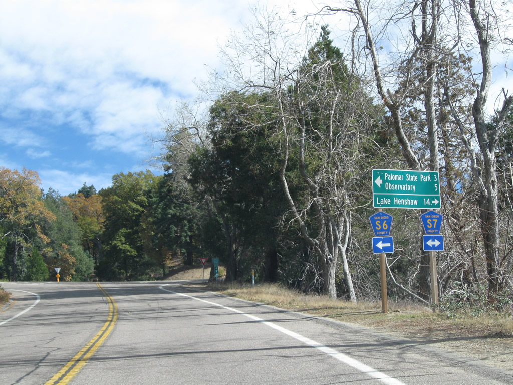
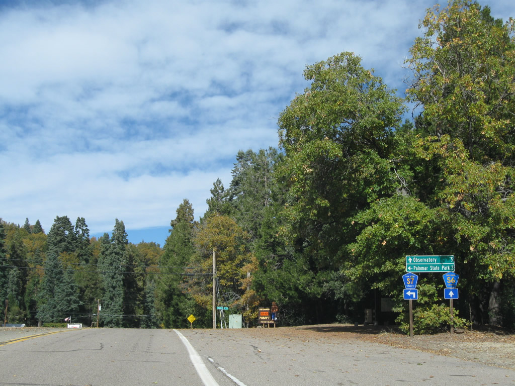
| South Grade Road continues north as CR S-6 toward Palomar Observatory while CR S-7 turns west along State Park Road to Palomar Mountain State Park and Boucher Hill. 11/10/10 |
|
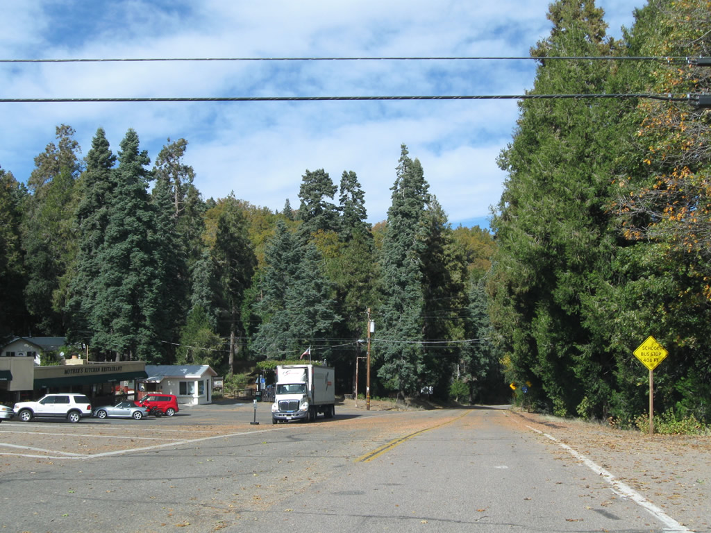
| A small business plaza occupies the northwest corner of South Grade and State Park Road for the unincorporated community of Palomar Mountain. Services include a post office, restaurant and general store. 11/10/10 |
|
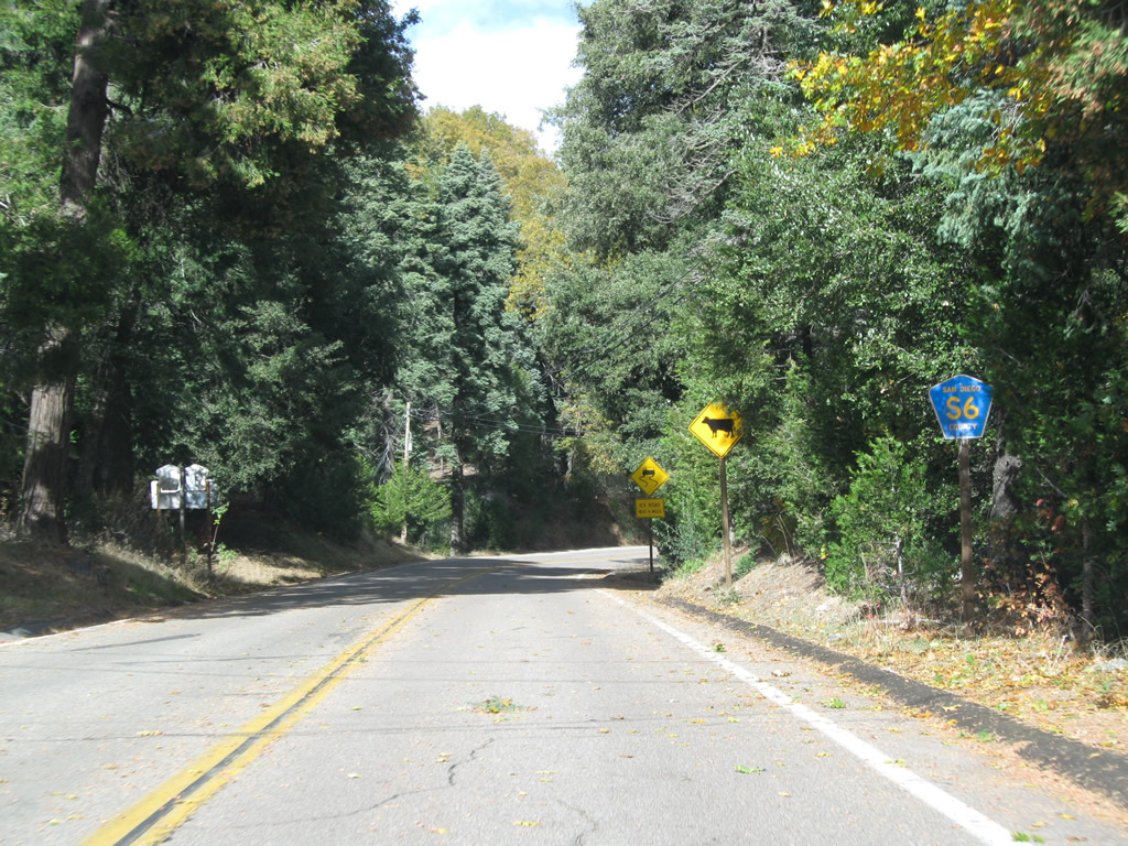
| Confirming marker for County Road S-6 posted by the Palomar Mountain business plaza. 11/10/10 |
|
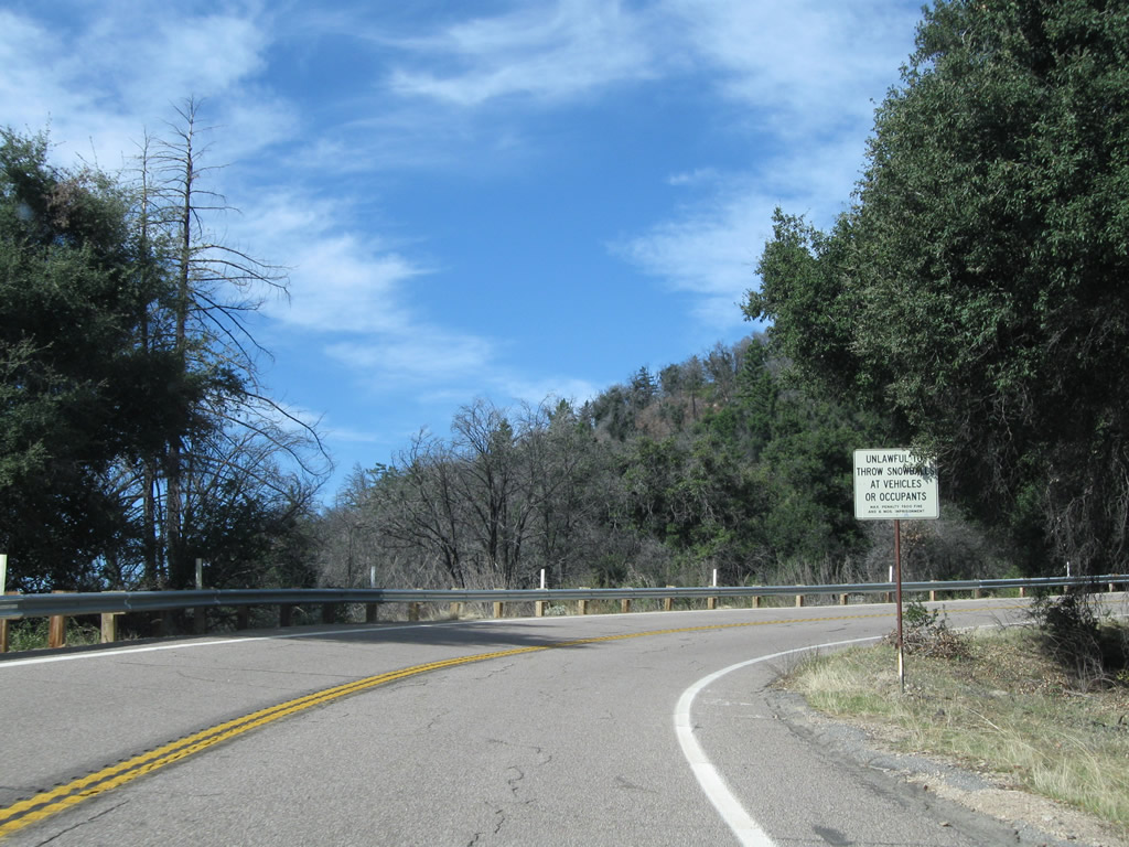
| During winter months, icy conditions can occur along the course of County Road S-6 leading north from the community of Palomar Mountain to Palomar Observatory. South Grade Road emerges briefly from a canopy of trees at milepost 49 and Mendenhall Valley Road. 11/10/10 |
|
| Leading north from Mendenhall Valley Road, a reassurance marker appears for San Diego County S-6. 11/10/10 |
|
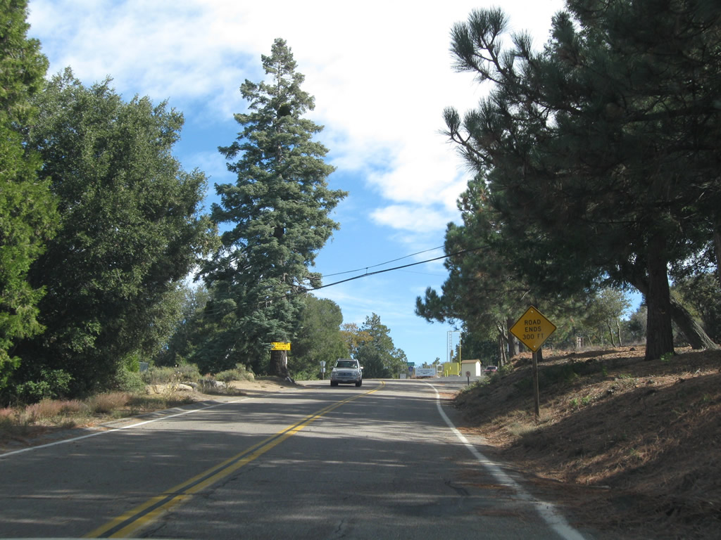
| A few Cleveland National Forest campgrounds and recreational areas are also located along the final segment of CR S-6 heading north from Iron Springs Creek to Upper French Valley and Palomar Observatory. 11/10/10 |
|
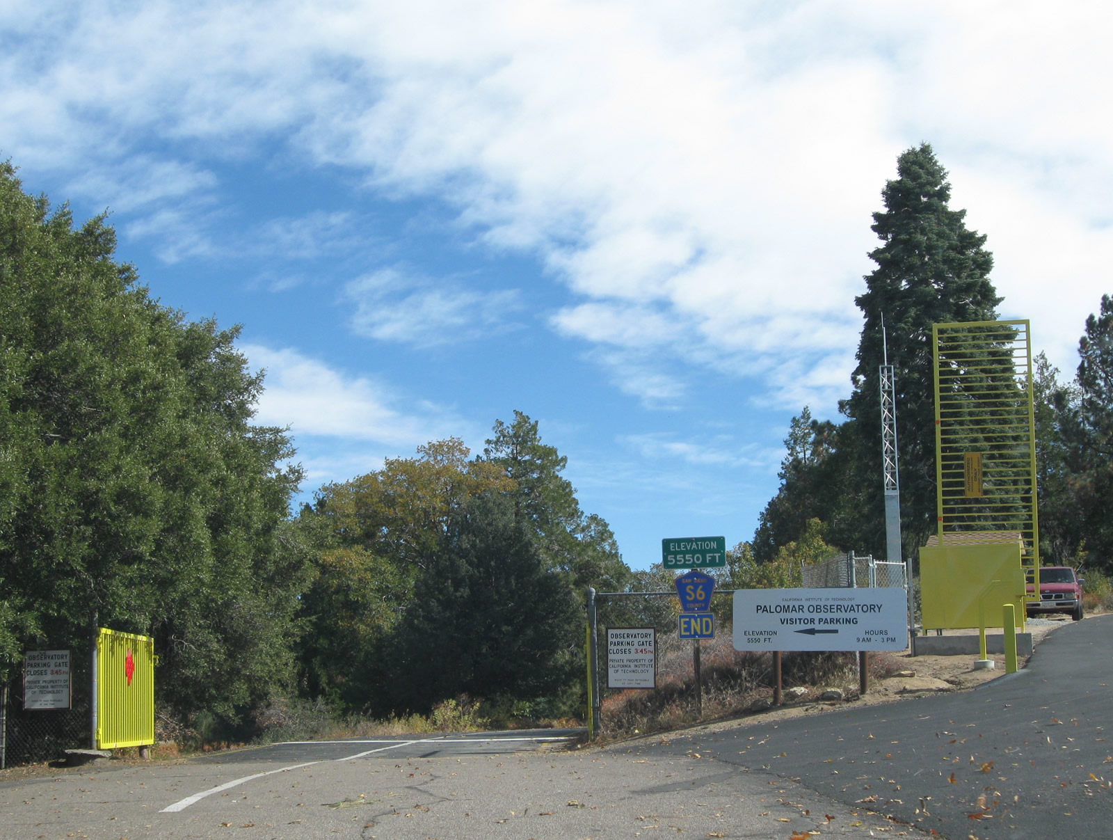
| Approaching the end of San Diego County S-6 and South Grade Road at Palomar Observatory. 11/10/10 |
|
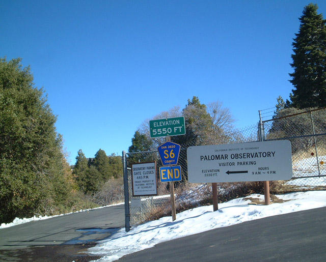
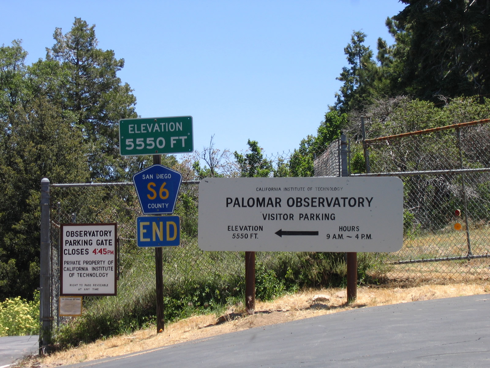
| An end shield formally acknowledges the conclusion of San Diego County S-6 north at the observatory parking gate. The 5,550 feet elevation is the highest point along the county road. 11/10/10, 01/24/02, 06/16/06 |
Page Updated 08-14-2017.