County Route S-16 travels nine miles north from Pala in northern San Diego County to Temecula in Riverside County. The south end ties into California State Route 76 along Pala Mission Road, which acts as an east-west branch of the overall north-south route.
Signs for CR S-16 previously in place in 2001 along SR 79 were most likely removed when routine maintenance of Temecula Parkway shifted from the state to the city of Temecula.
|
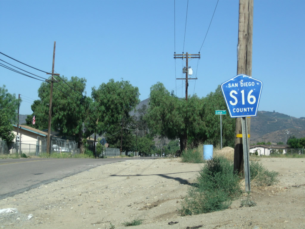
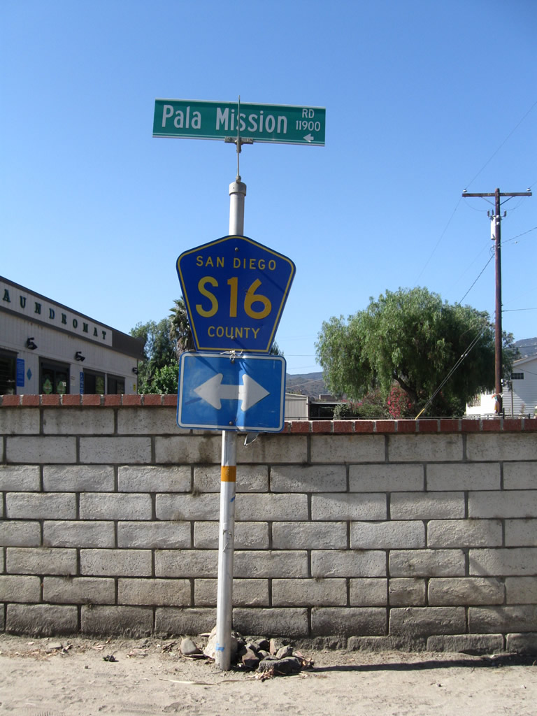
| The first reassurance shield for San Diego County S-16 is posted along westbound Pala Mission Road just after the separation from SR 76 in the unincorporated community of Pala. 06/27/09 |
|
| Alongside the Mission San Antonio de Pala, CR S-16 (Pala Mission Road) approaches Pala Temecula Road. CR S-16 turns north onto Pala Temecula Road while Pala Mission Road continues west back to SR 76. 06/27/09 |
|
| Eastbound Pala Mission Road approaches Pala Temecula Road, where CR S-16 continues north from Pala to the city of Temecula in Riverside County. Pala Mission Road represents a former alignment of SR 76 looping north through Pala. 06/27/09 |
|
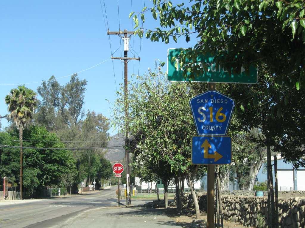
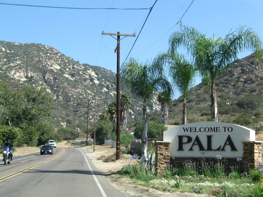
| Leading away from Pala Mission Road, San Diego County S-16 ventures through northern reaches of Pala en route to Temecula. 06/27/09 |
|
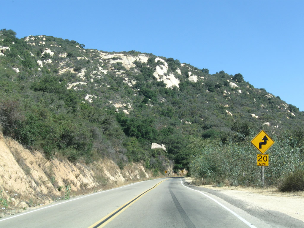
| Leaving the community of Pala, northbound San Diego County S-16 (Pala Temecula Road) winds into a canyon west of Tourmaline Queen Mountain en route toward the San Diego-Riverside County line. Some of the curves are fairly tight and with suggested speeds of around 10 miles per hour. 06/27/09 |
|
| County Road S-16 (Pala Temecula Road) navigates through a horseshoe curve to the east of Mount Olympus. 06/27/09 |
|
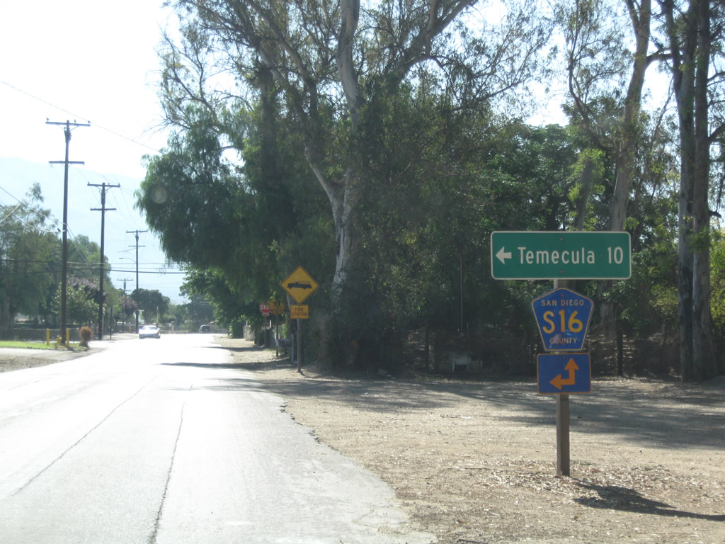
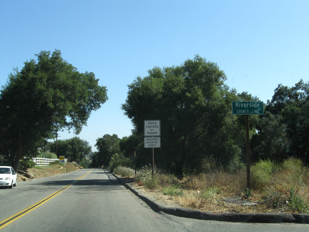
| Nearing the Riverside County line, Pala Temecula Road straights out somewhat as motorists pass by the final San Diego County S-16 shield. 06/27/09 |
|
| Upon crossing the county line, CR S-16 narrows along Pala Road. 06/27/09 |
|
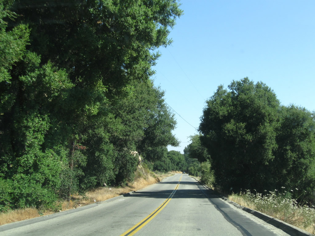
| Riverside County S-16 (Pala Road) lowers from the Mount Olympus foot hills into Wolf Valley. 06/27/09 |
|
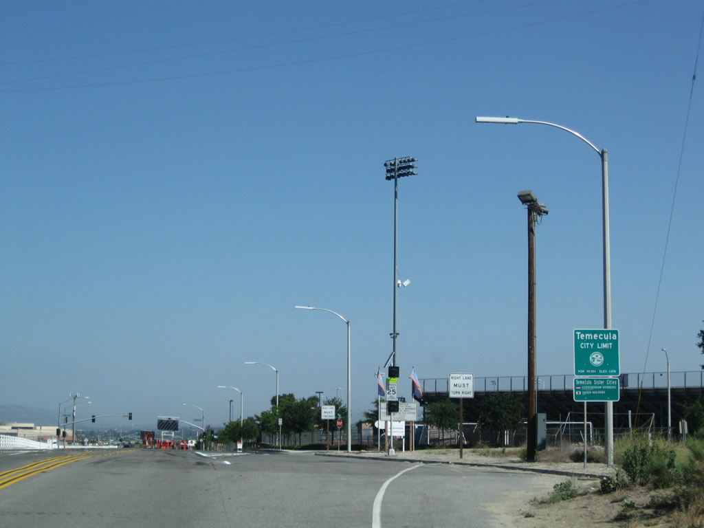
| Entering the city limits with Temecula, CR S-16 changes into Pechanga Parkway. Temecula had a population of 100,097 as of the 2010 Census. The city sites at an elevation of 1,175 feet and was incorporated on December 1, 1989. 06/27/09 |
|
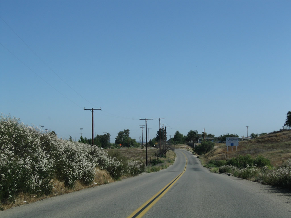
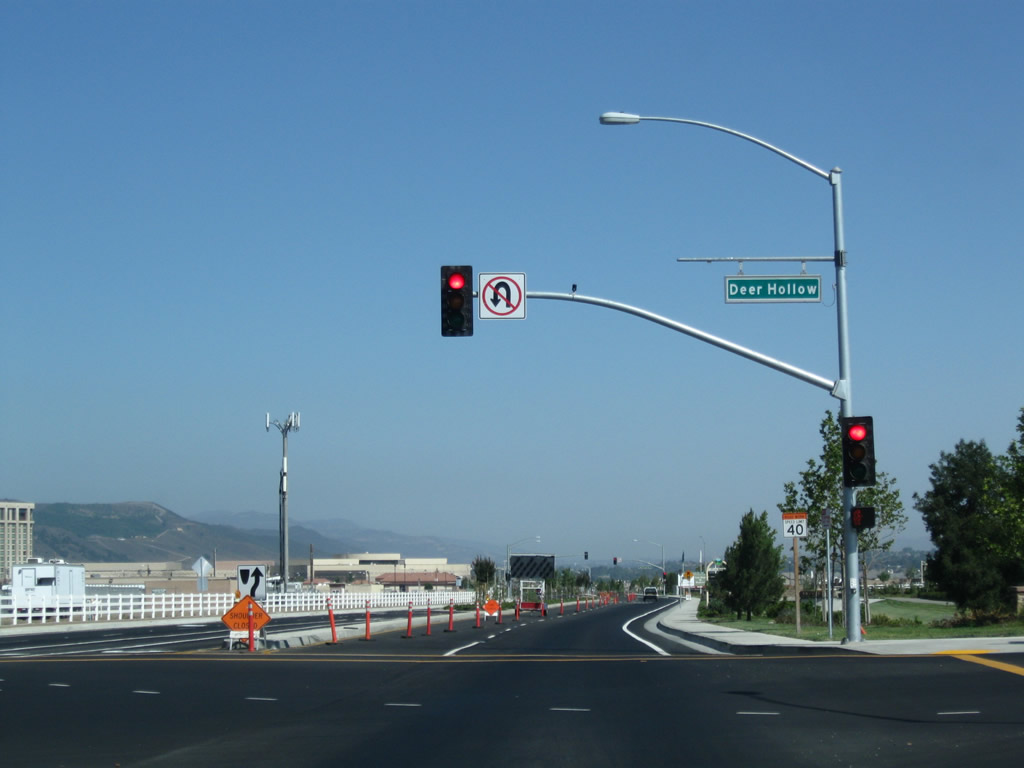
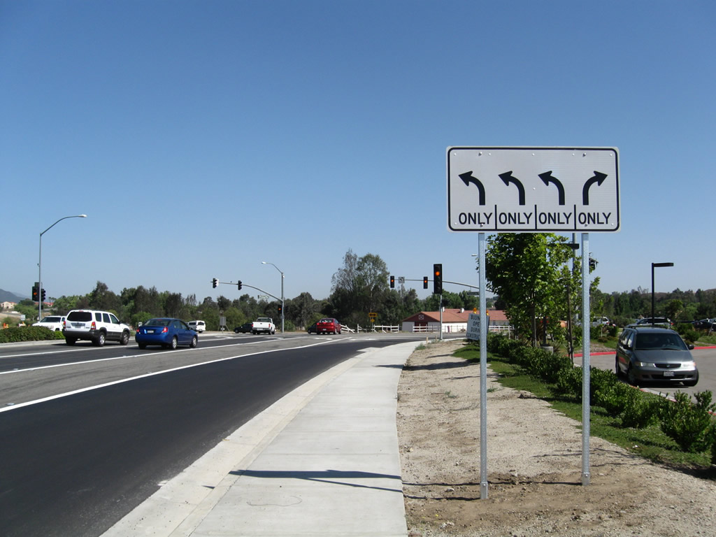
| County Road S-16 is unsigned within Temecula. Pechanga Parkway expands into a four lanes ahead of the traffic light with Deer Hollow Way. Roadway widening and beautification efforts were underway along the suburban arterial in 2009. 06/27/09 |
|
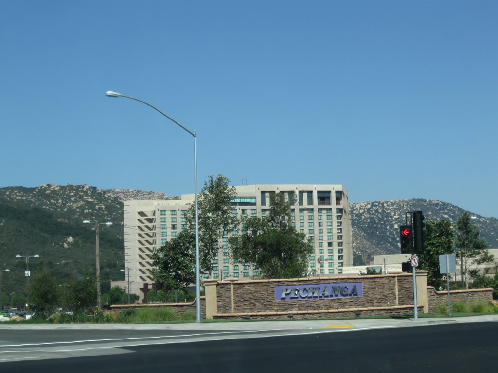
| Temecula is a popular destination for gambling at Pechanga Resort and Casino. Area visitors also partake in wine tasting at Temecula Wine Country and hot air ballooning. 06/27/09 |
|
| Leaving the vicinity of Pechanga Resort and Casino, CR S-16 (Pechanga Parkway) proceeds north between a bevy of subdivisions to its eventual rendezvous with SR 79 (Temecula Parkway). 06/27/09 |
|
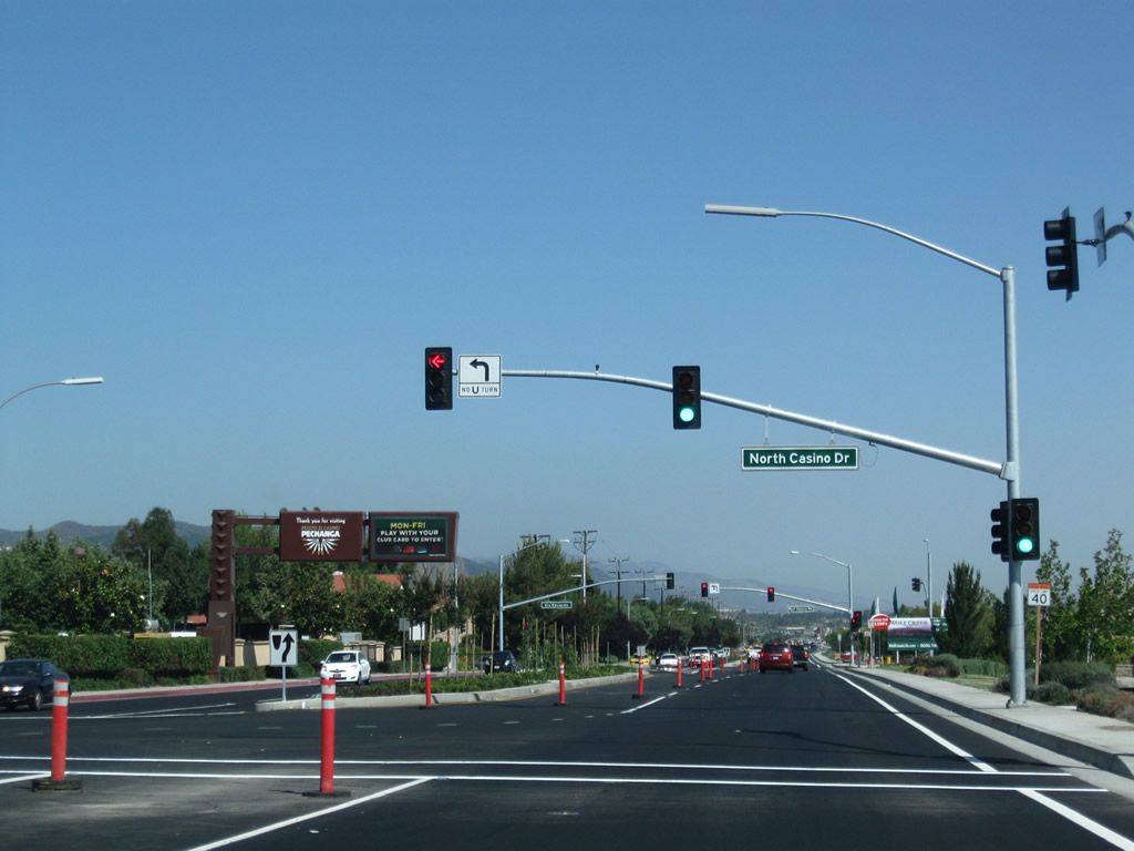
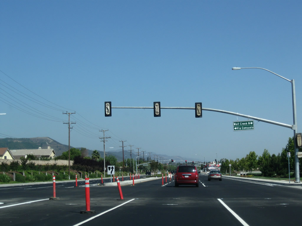
| Via Consuelo north and Wolf Creek Drive North come together Pechanga Parkway and the Wolf Creek community. 06/27/09 |
|
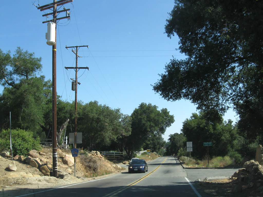
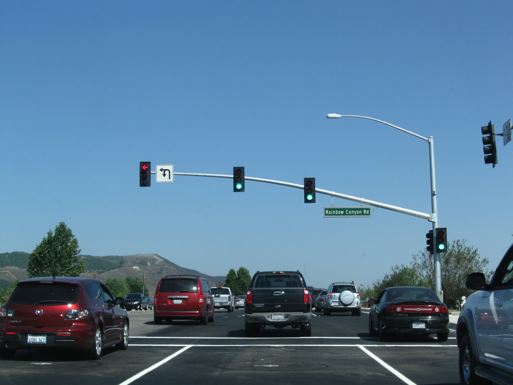
| Historic U.S. 395 joins Pechanga Parkway north from Rainbow Canyon Road. U.S. 395 used to travel south along Rainbow Canyon Road toward San Diego County and the community of Rainbow, and was largely superseded by construction of Interstate 15 to the west. 06/27/09 |
|
| Riverside County S-16 concludes at the unmarked intersection with SR 79 (Temecula Parkway). Historic U.S. 395 accompanies the state route northwest to Old Town Temecula. 06/27/09 |
|
| SR 79 (Temecula Parkway) travels southeast toward Temecula Wine Country, Aguanga (via SR 371), and Warner Springs in San Diego County. 06/27/09 |
|
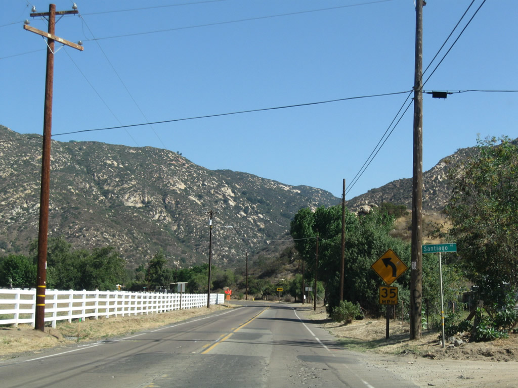
| San Diego County S-16 (Pala Temecula Road) south intersects Pala Mission Road adjacent to the Mission San Antonio de Pala in unincorporated Pala. Separate branches of CR S-16 line Pala Mission Road (Old SR 76) east to Palomar Mountain and Lake Henshaw and west toward Interstate 15, Bonsall and Oceanside. 06/27/09 |
Page Updated 08-16-2017.