County Road Z30 travels 19.2 miles north from Valley Drive (old U.S. 67) at Pleasant Valley to U.S. 30 in southeast Clinton County. The rural route runs along the northeast corner of Bettendorf, connecting the Quad Cities with Lost Grove Lake Wildlife Management Area and the small city of McCausland in northeast Scott County.
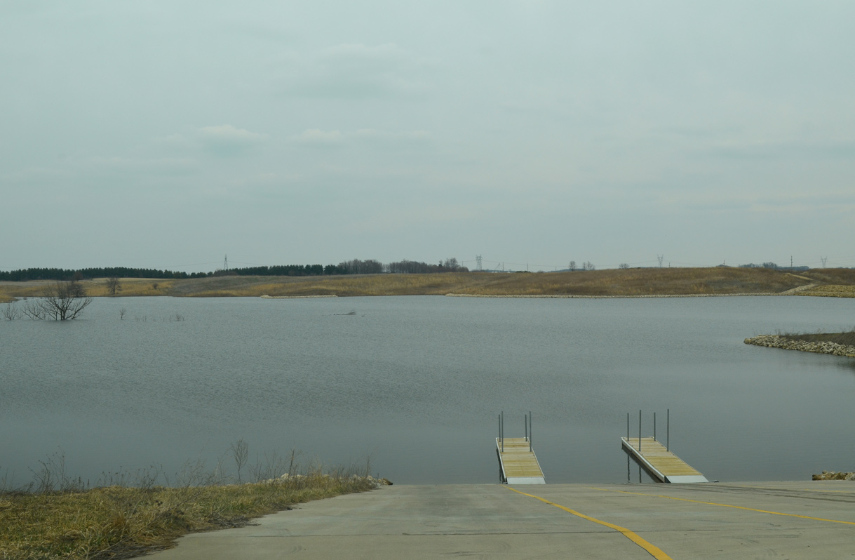
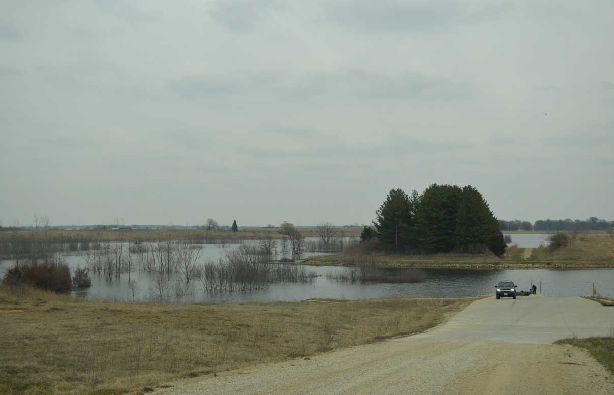
County Road Z30 travels along the east side of Lost Grove Lake Wildlife Management Area in northeast Scott County. The man made lake was created by construction of an earthen dam parallel to 240th Avenue, where CR F45 and Z30 overlap. Planned by the Iowa Department of Natural Resources (DNR) in 1987, over $12 million in public and private investments funded the project.
Land acquisition commenced in 1988, with the last parcel purchased by the DNR in 2003. The DNR stocked the 400 acre lake with bluegill, bass, crappies, redear sunfish, channel catfish, walleye and muskellunge. The lake opened to the public initially in 2014.1
|
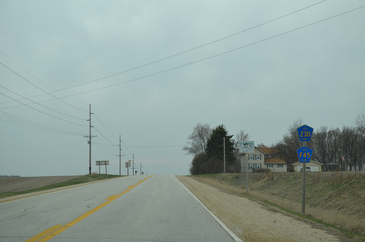
| Four miles south of McCausland, CR Z30 (240th Avenue) combines with CR F45 westbound at 257th Street. 03/26/16 |
|
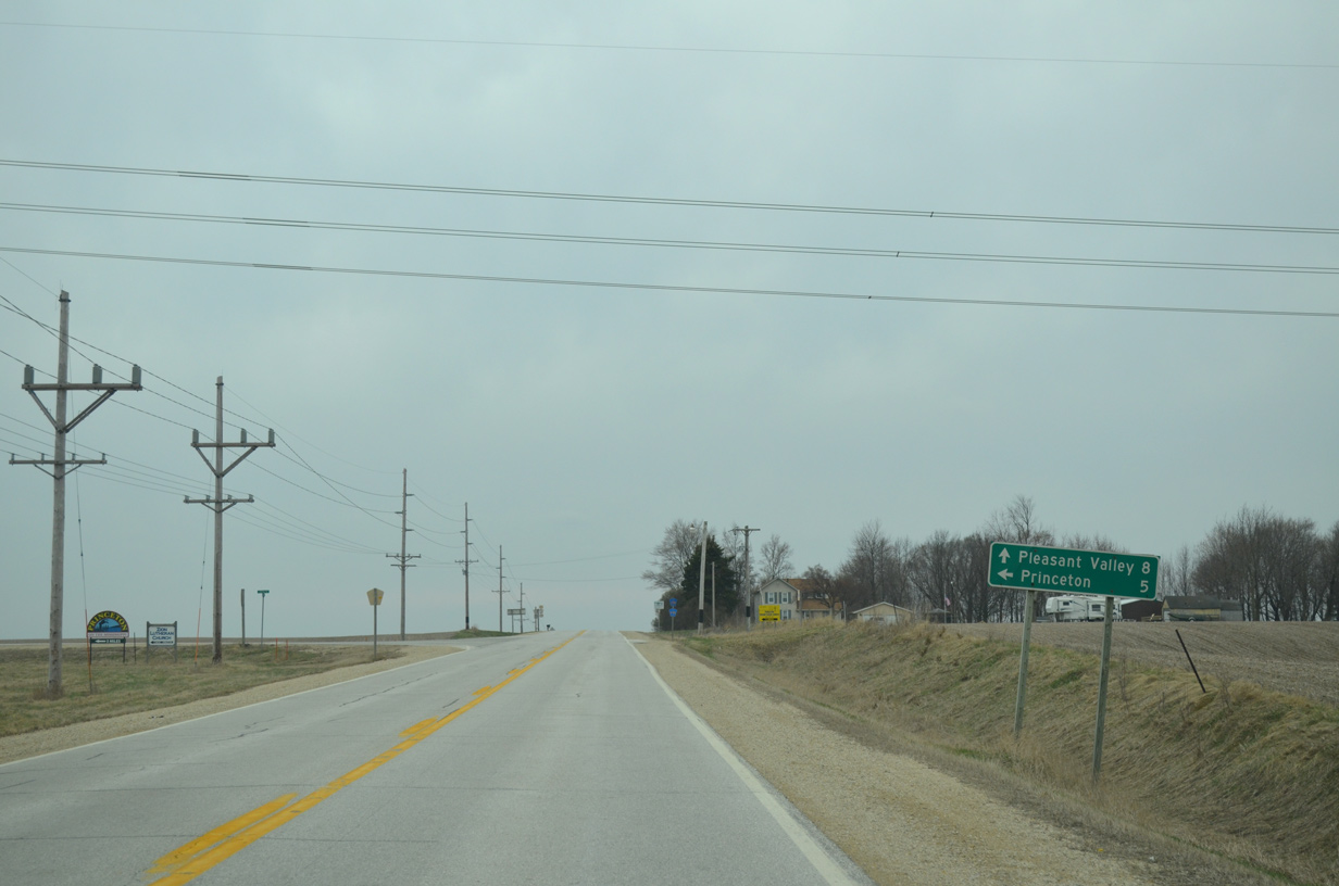
| 257th Street leads County Road F45 east 3.1 miles to 270th Avenue and the Princeton city line. Lost Grove Road extends east from there another 1.8 miles to U.S. 67 at the Princeton business district. 03/26/16 |
|
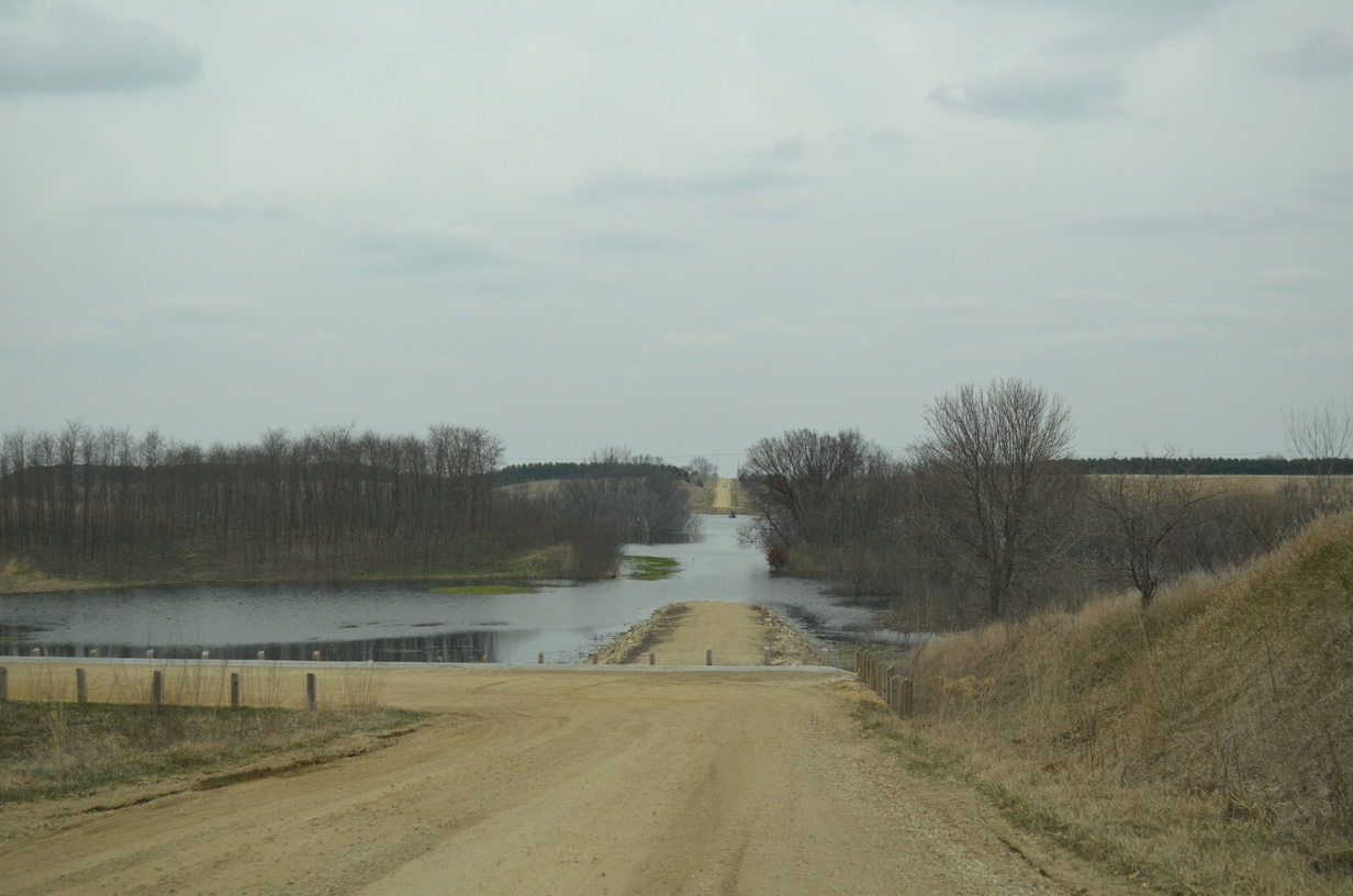
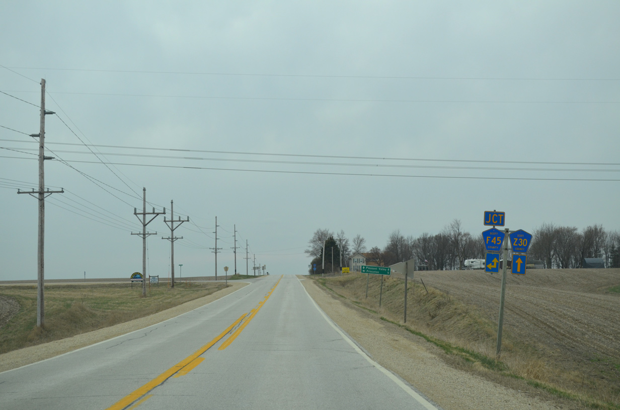
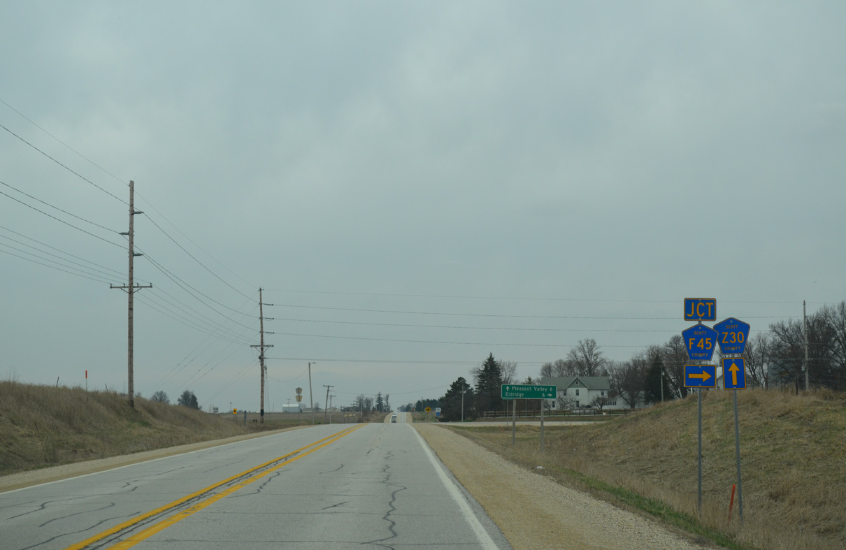
| 240th Avenue continues south as both CR Z30 and CR F45 for three quarters of a mile by Lost Grove Lake Wildlife Management Area. 03/26/16 |
|
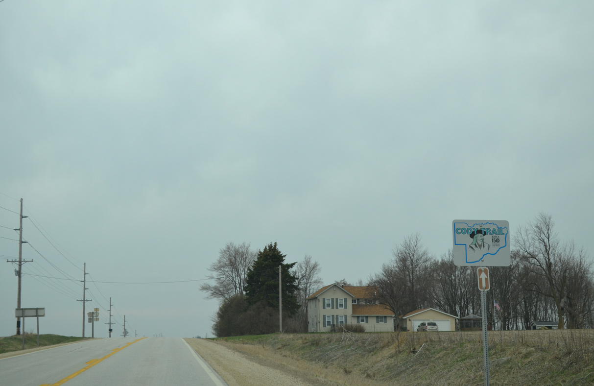
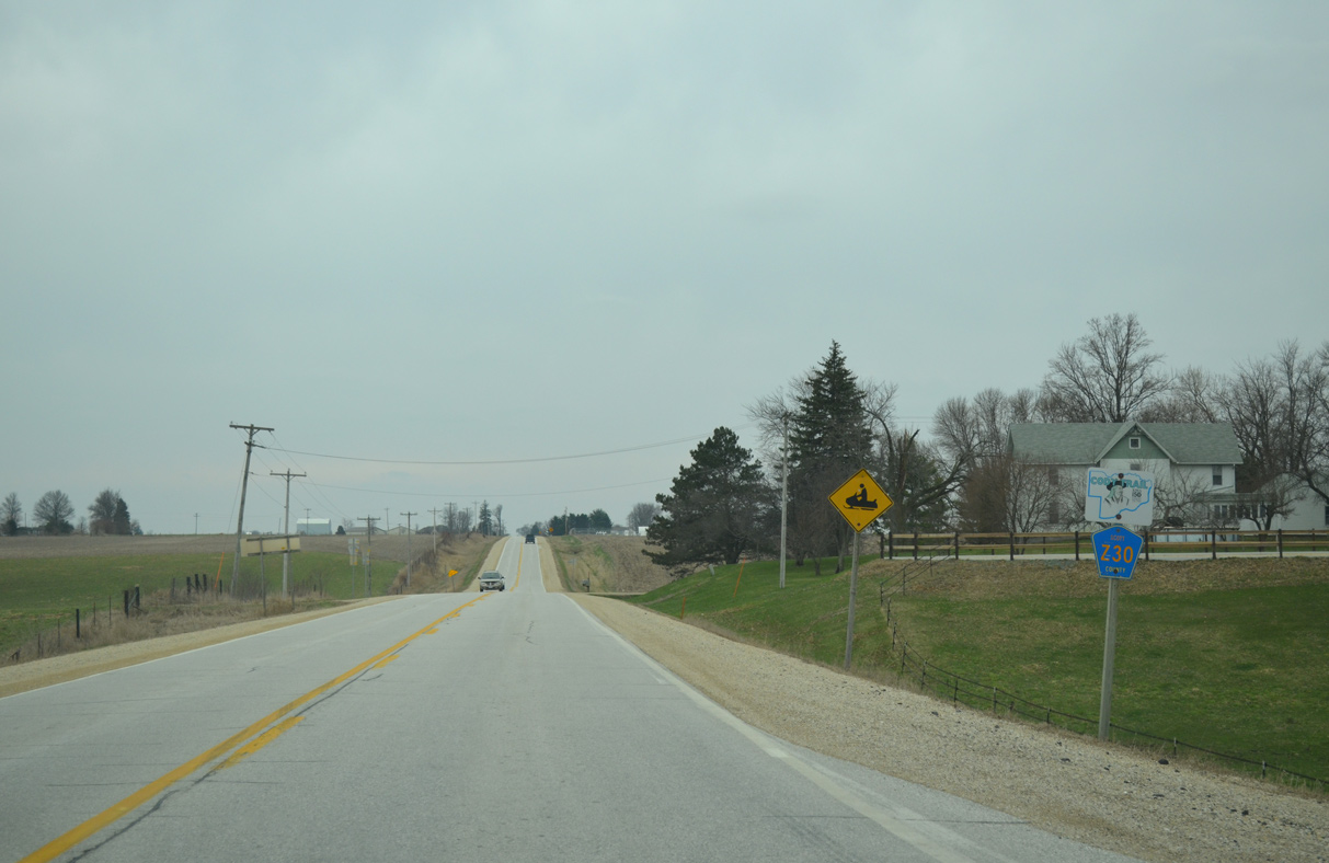
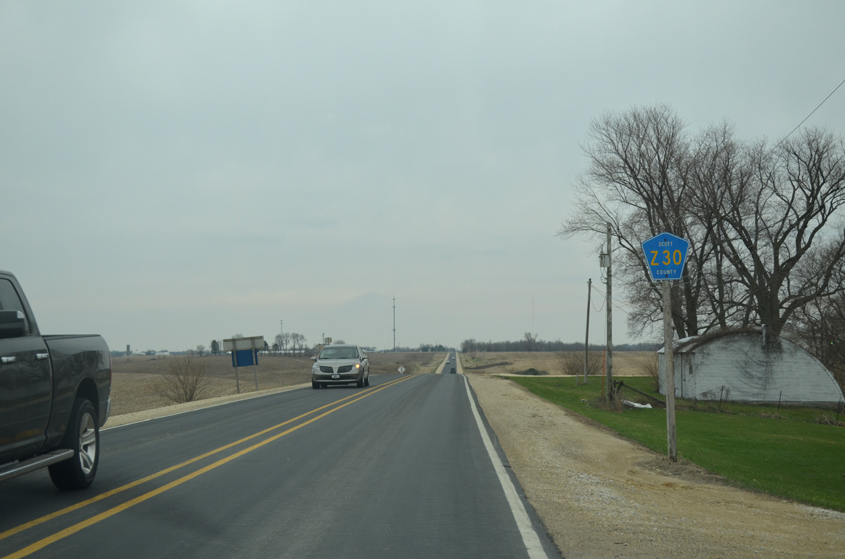
| CR Z30 is a part of Cody Trail, a 25.5 mile long auto tour cobbled from multiple streets and roads across Scott County. 03/26/16 |
|
| Advancing south from Lost Grove Lake, County Road F45 parts ways with County Road Z30 (240th Avenue) for 240th Street west. 03/26/16 |
|
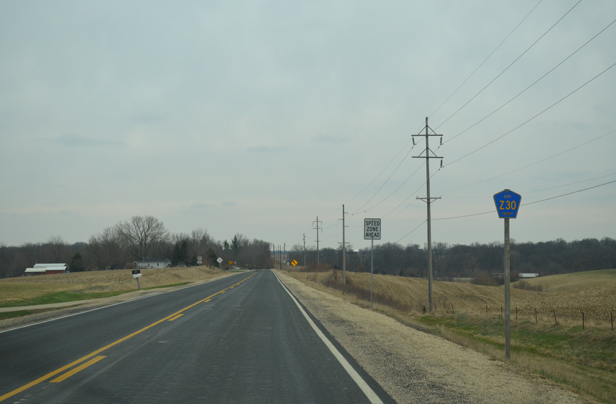
| Confirming marker for CR Z30 posted beyond the split with CR F45 (240th Street). Cody Trail overlays CR Z30 south to Territorial Road east at Argo. 03/26/16 |
|
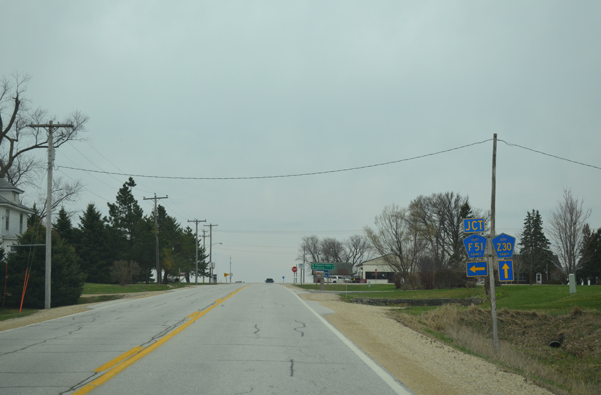
| County Road F51 concludes a six mile route east from 180th Avenue and the Eldridge city line at County Road Z30 (Wells Ferry Road). The sign assembly pictured here is incorrect, referencing Territorial Road east instead of 220th Street west at CR F51. 03/26/16 |
|
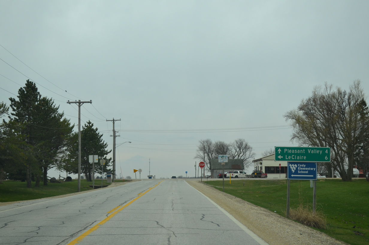
| Territorial Road extends east from CR Z30 and CR F51 as an unnumbered route 4.8 miles to U.S. 67 on the north side of LeClaire. 03/26/16 |
|
| Continuing south from the settlement of Argo on County Road Z30 (Wells Ferry Road). 03/26/16 |
|
| Traveling along the Bettendorf city line, CR Z30 intersects Indiana Avenue west to Middle Road and I-80 and 205th Street east to LeClaire ahead of this shield assembly. 03/26/16 |
|
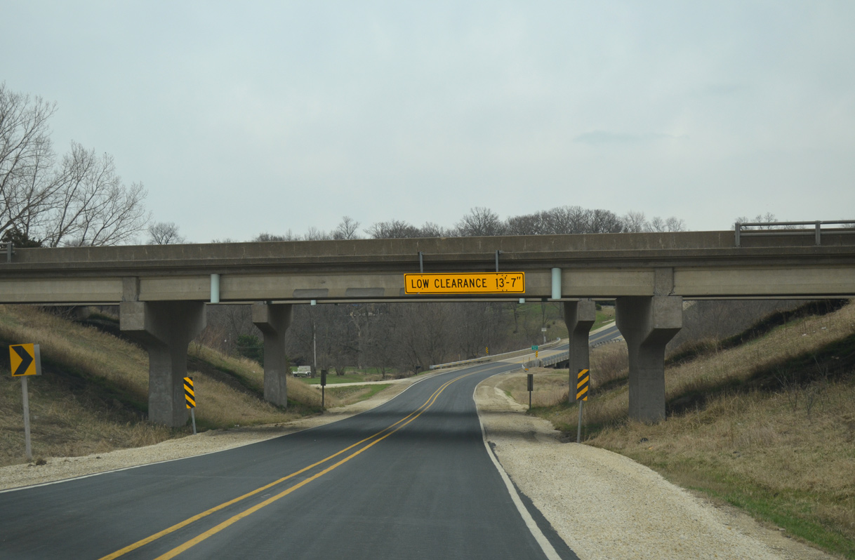
| Wells Ferry Road passes under Interstate 80 as CR Z30 takes a winding route south along the Mississippi River bluffs into Pleasant Valley. 03/26/16 |
|
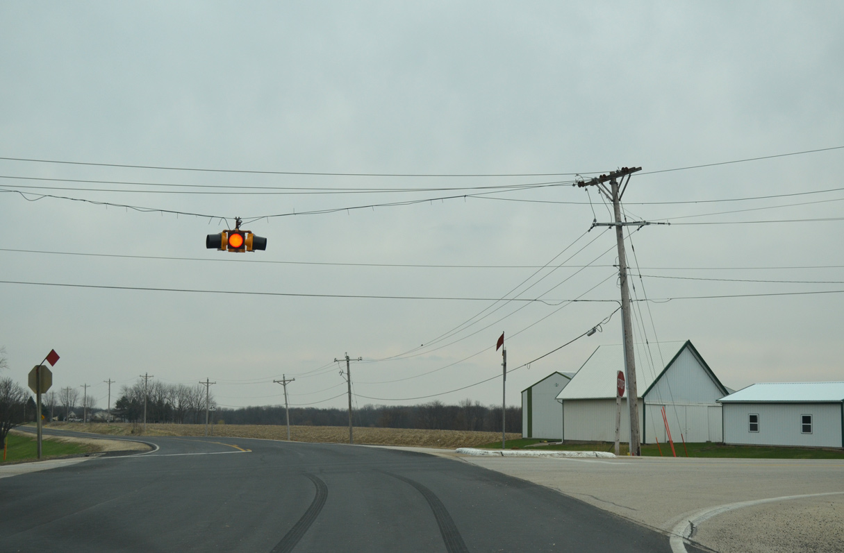
| Forest Grove Road east from Bettendorf and 195th Street west from the Sheridan Heights community come together at this flasher on CR Z30 south. 03/26/16 |
Sources:
- "Outdoor enthusiasts are finding Lost Grove Lake." Muscatine Journal (IA), August 1, 2015.
03/26/16 by AARoads
Connect with:
County Road F45
U.S. 30
Page Updated 05-10-2018.