|
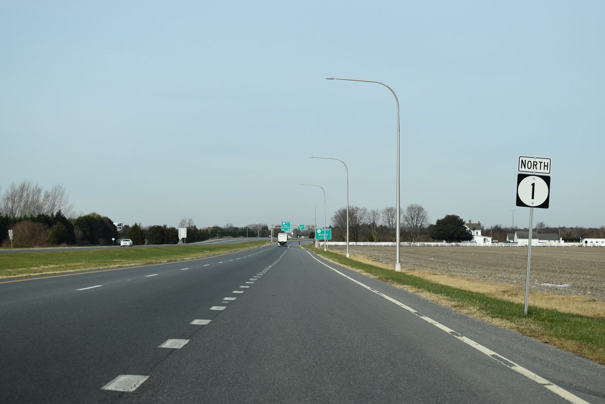
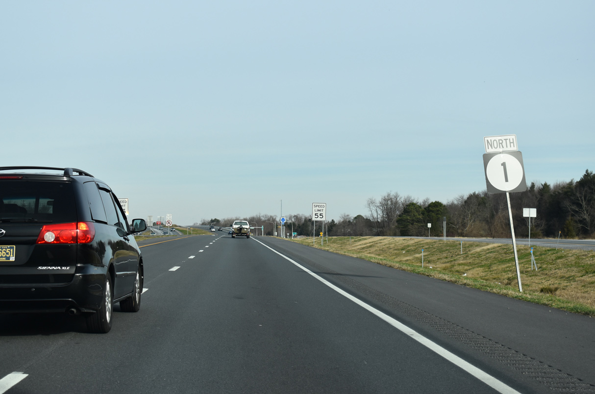
| SR 1 (Coastal Highway) continues north 1.75 miles from the Argos Corner Road (Rd 14E) to the exchange with SR 30. 01/16/17 |
|
| Formerly SR 30 ALT, Johnson Road (Rd 207) stems 0.74 miles west from SR 1 to SR 30 (Cedar Creek Road). 01/16/17 |
|
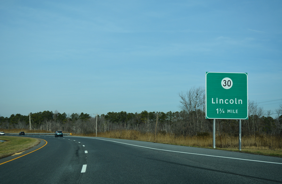
| SR 1 (Coastal Highway) passes by the Saraglen Acres neighborhood ahead of the folded diamond interchange with Wilkins Road west to SR 30 (Cedar Creek Road). 12/19/20 |
|
| Construction between December 2012 and July 2014 along SR 1 replaced an at-grade intersection with Wilkins and Cedar Neck Roads. Paralleling SR 1 to the west along Cedar Creek Road and Rehoboth Boulevard, SR 30 previously ended at SR 1 directly. 12/19/20 |
|
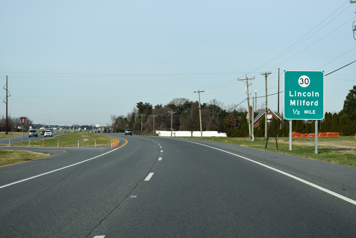
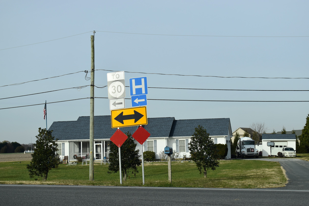
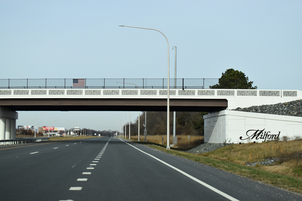
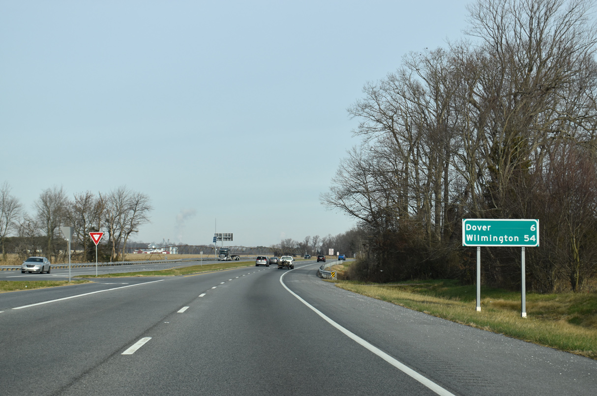
| SR 30 (Cedar Creek Road) leads south from SR 1 Business in Milford to the Bayhealth Hospital Sussex Campus and Millsboro. Wilkins Road (Rd 206) extends west from SR 30 to the unincorporated community of Lincoln. 12/19/20 |
|
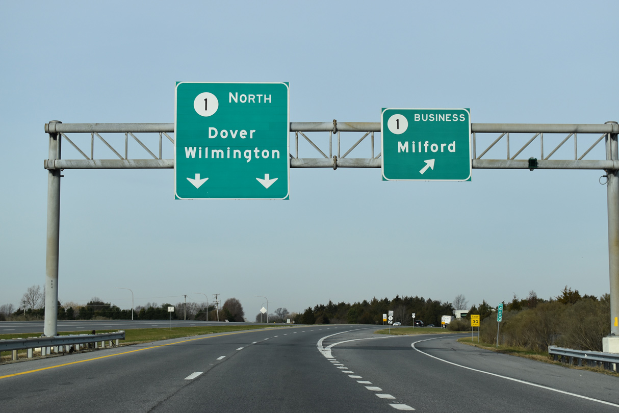
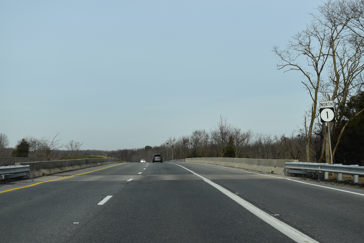
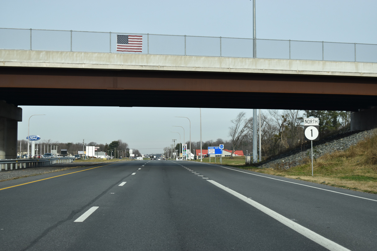
| SR 1 (Coastal Highway) continues north onto the Milford Bypass, a 4.4 mile long controlled access expressway completed in 1972. 12/19/20 |
|
| SR 1 Business (Rehoboth Boulevard) branches west from SR 1 at a wye interchange just beyond the Wilkins Road overpass. 12/19/20 |
|
| SR 1 Business winds through Milford along Rehoboth Boulevard and Walnut Street to U.S. 113 (Dupont Boulevard). The business route also follows the original alignment of SR 14 northward to NE Front Street. 12/19/20 |
|
| SR 1 Business measures 4.26 miles in length to the north end of U.S. 113 in adjacent Kent County. 12/19/20 |
|
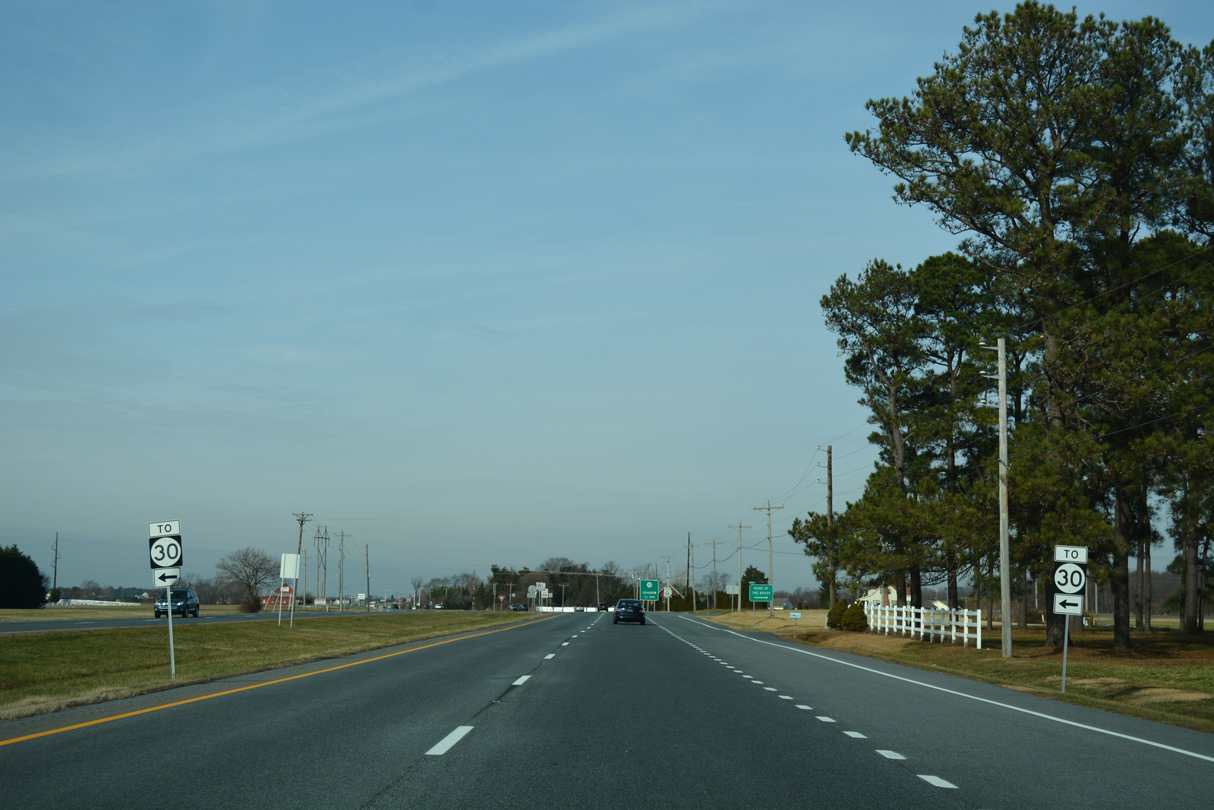
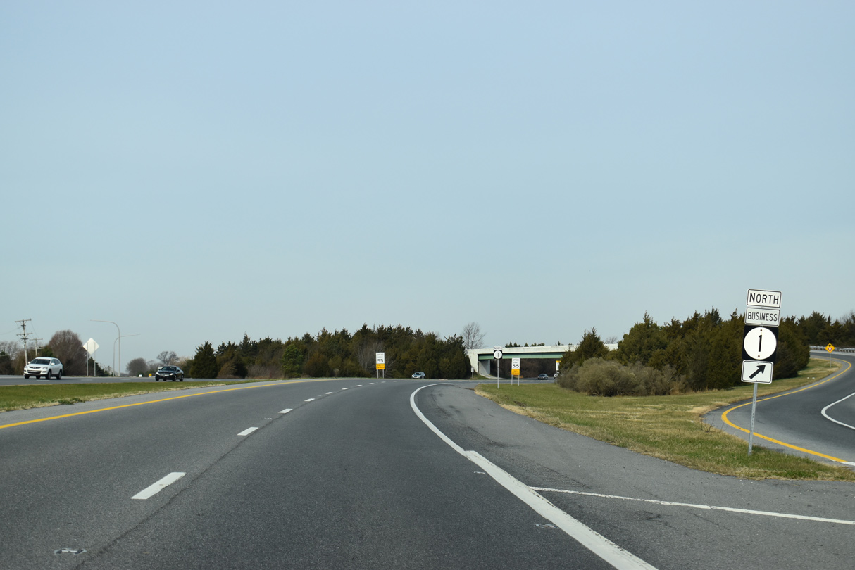
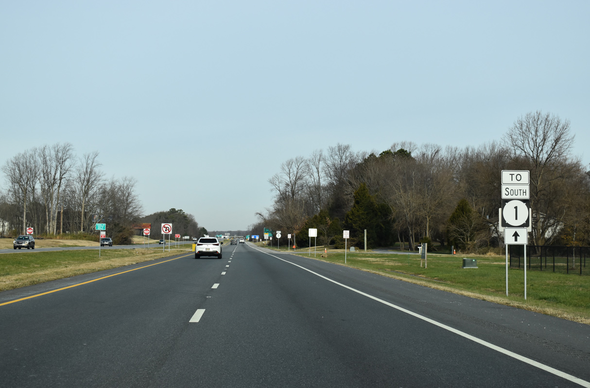
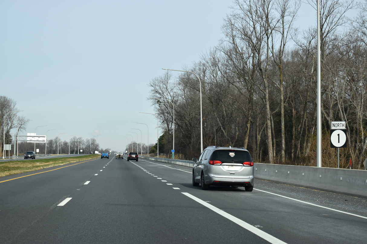
| Diverging with SR 1 Business, SR 1 passes by The Meadows at Shawnee subdivision and the north end of SR 30 on the ensuing stretch. 12/19/20 |
|
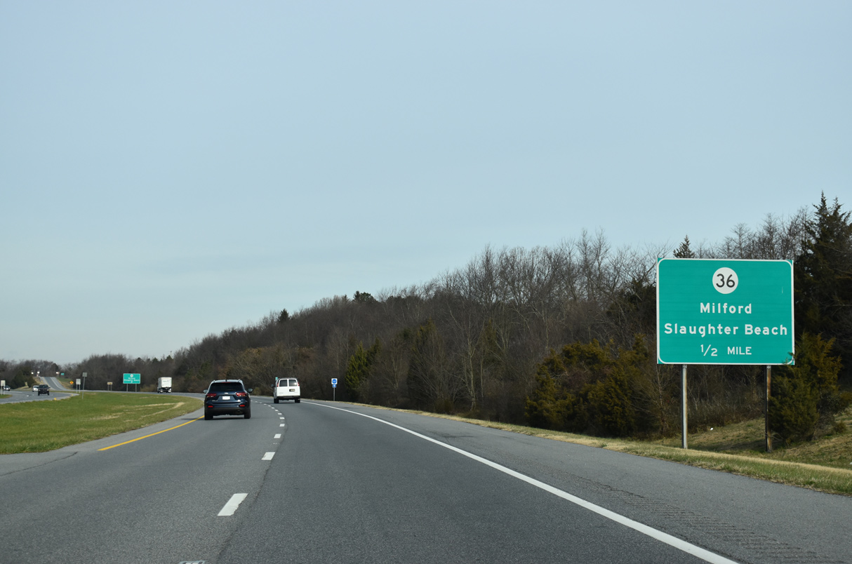
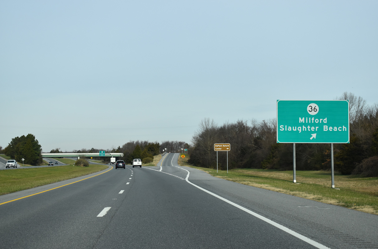
| SR 36 (Cedar Beach Road) extends east from SR 1 Business 1 in Milford to a diamond interchange with SR 1 (Coastal Highway). 12/19/20 |
|
| SR 36 spurs 4.80 miles east from SR 1 to Cedar Beach off Delaware Bay. SR 36 lines SE Front Street west into Downtown Milford. 12/19/20 |
|
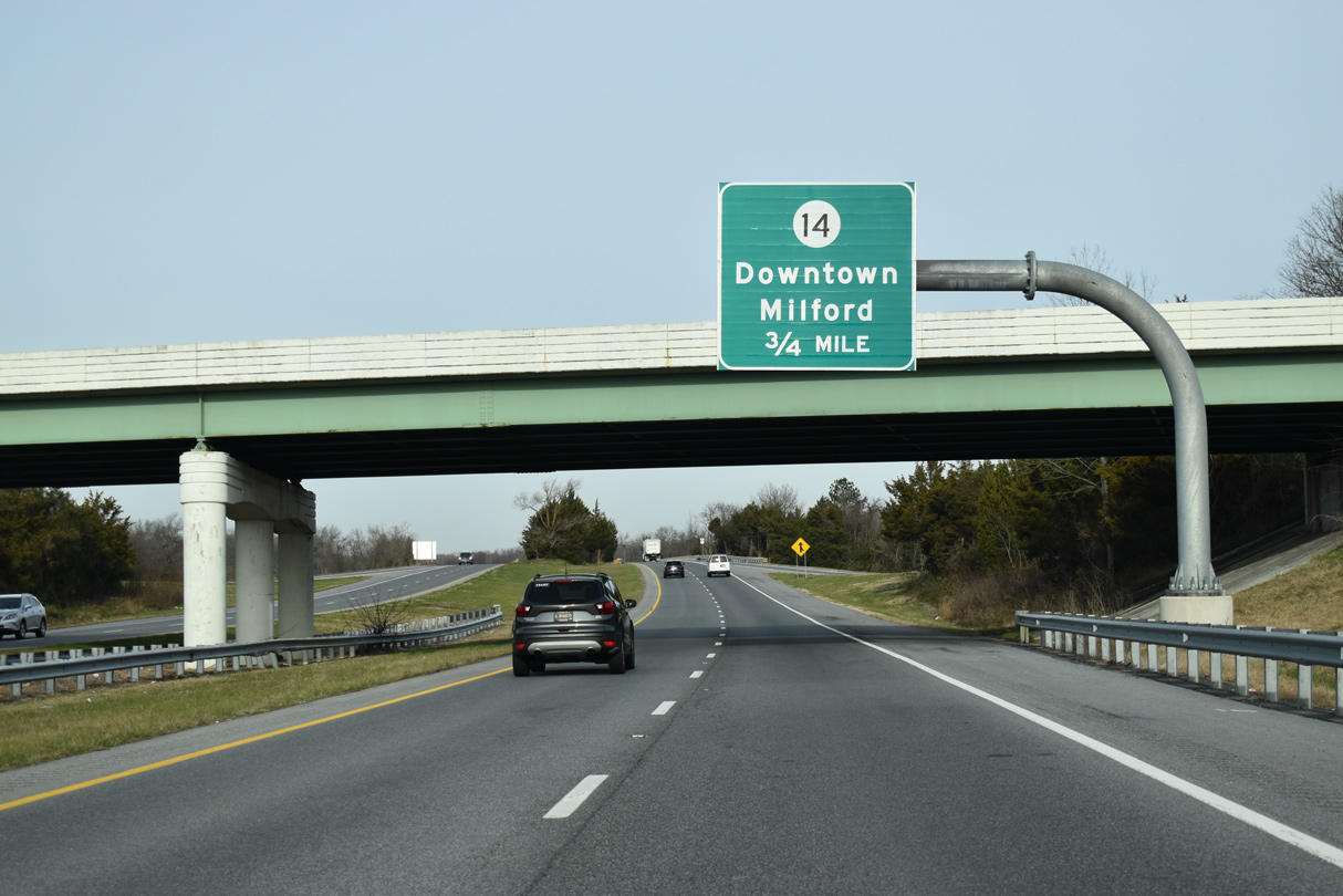
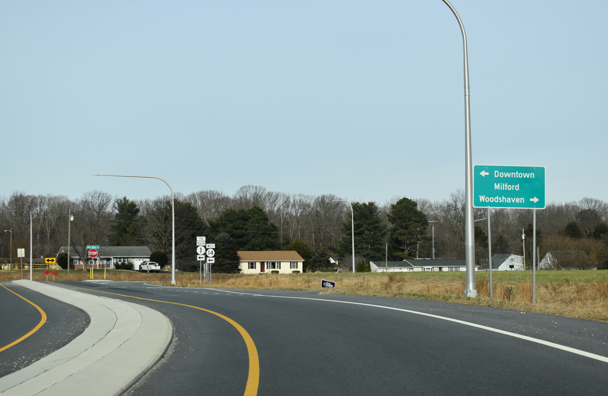
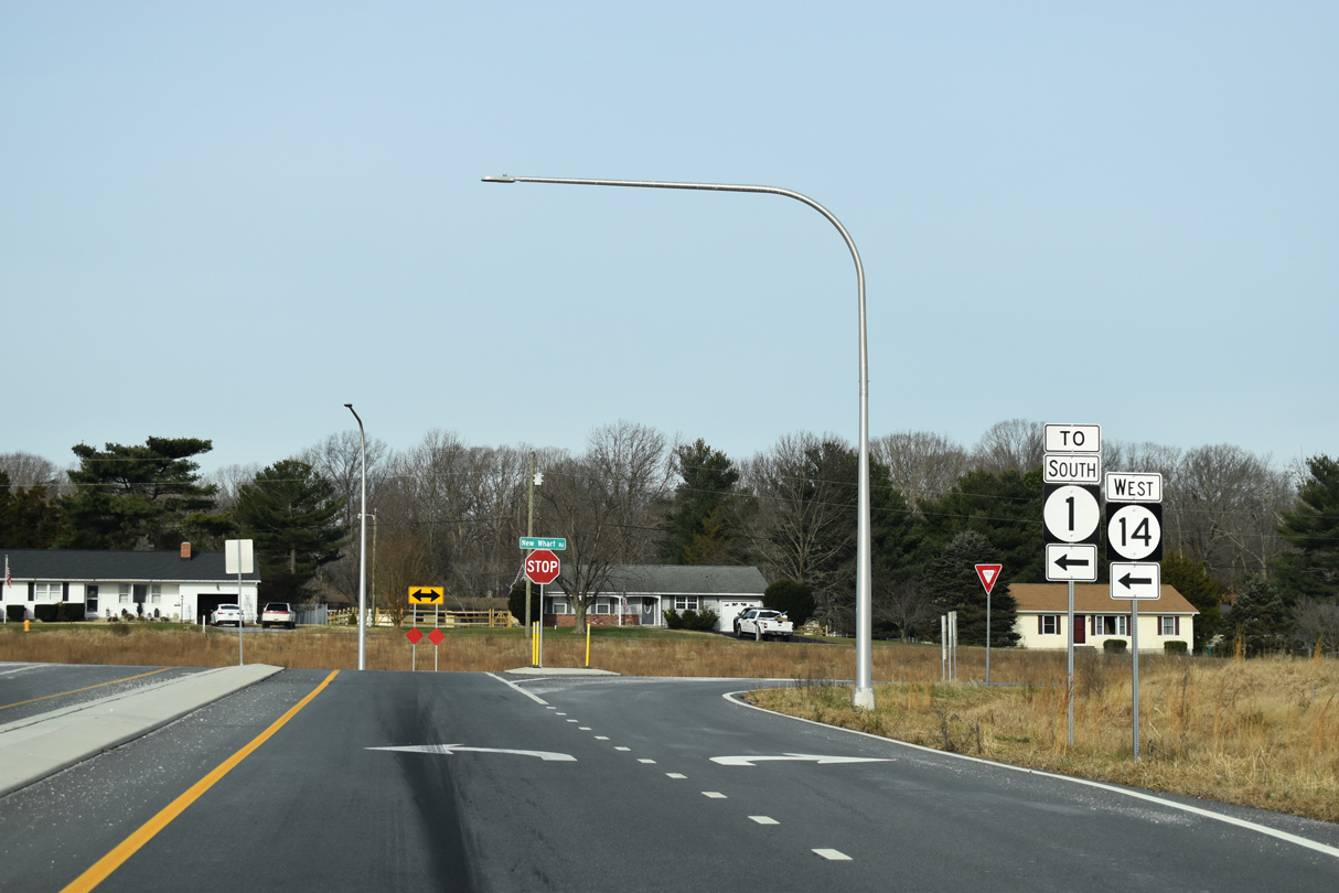
| SR 14 (NE Front Street) angles northeast from Downtown Milford to meet SR 1 at a parclo A2 interchange. Constructed between February 2018 and August 2019, the exchange replaced an at-grade intersection between the two routes. 12/19/20 |
|
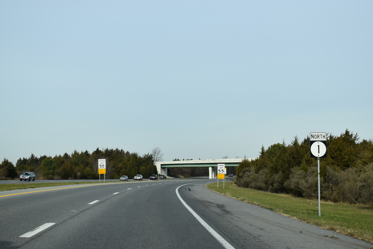
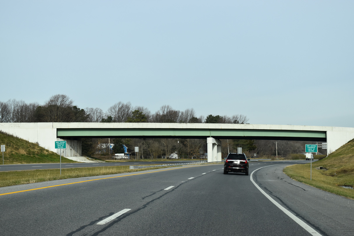
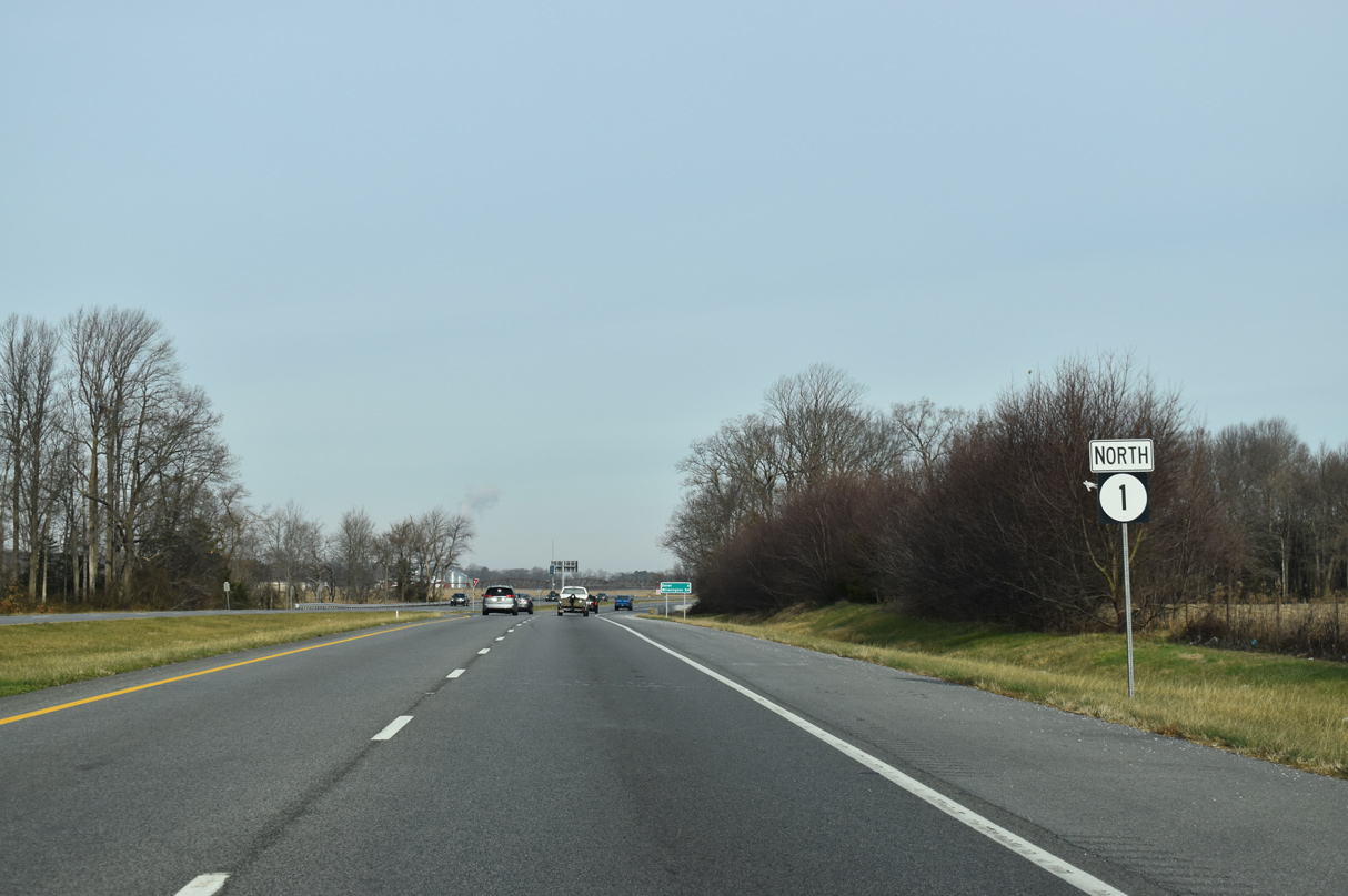
| SR 1 straddles the eastern city limits of Milford from the Mispillion River northward to U.S. 113. 12/19/20 |
|
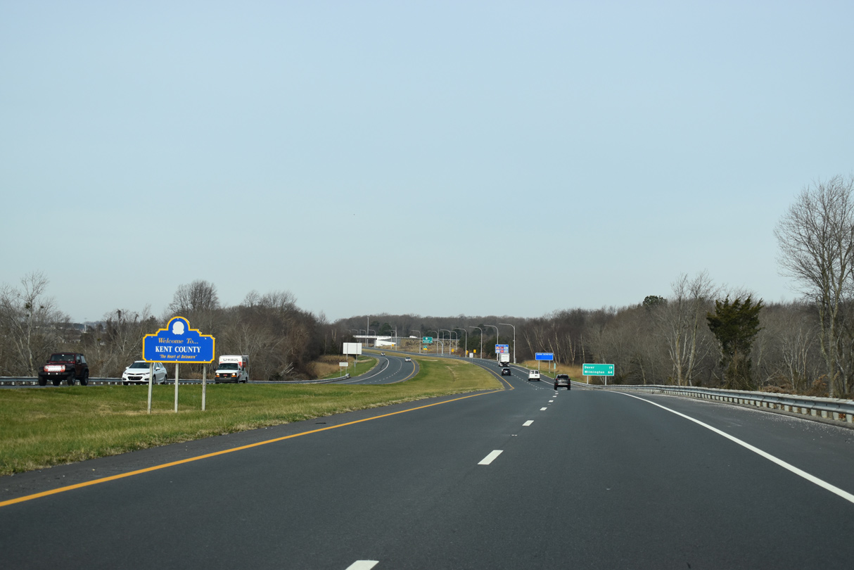
| SR 1 enters Kent County across the Mispillion River. The river doubles as the county line east to Delaware Bay. 12/19/20 |
|
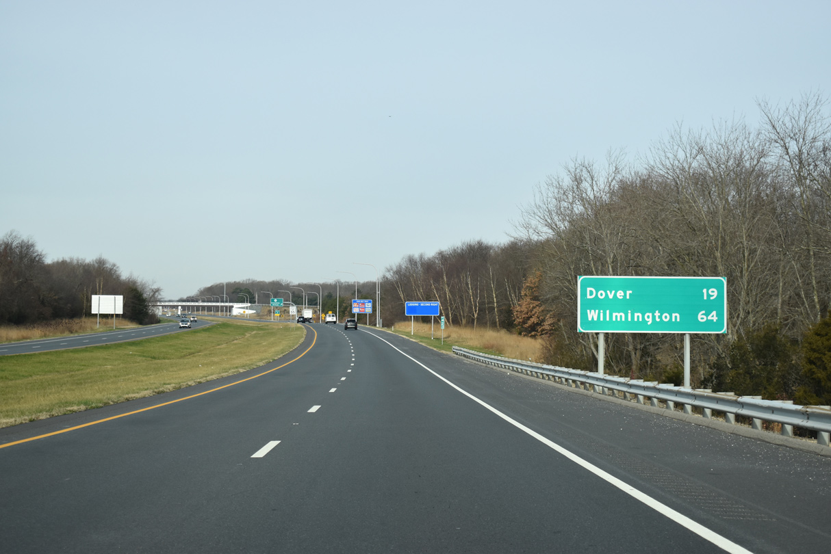
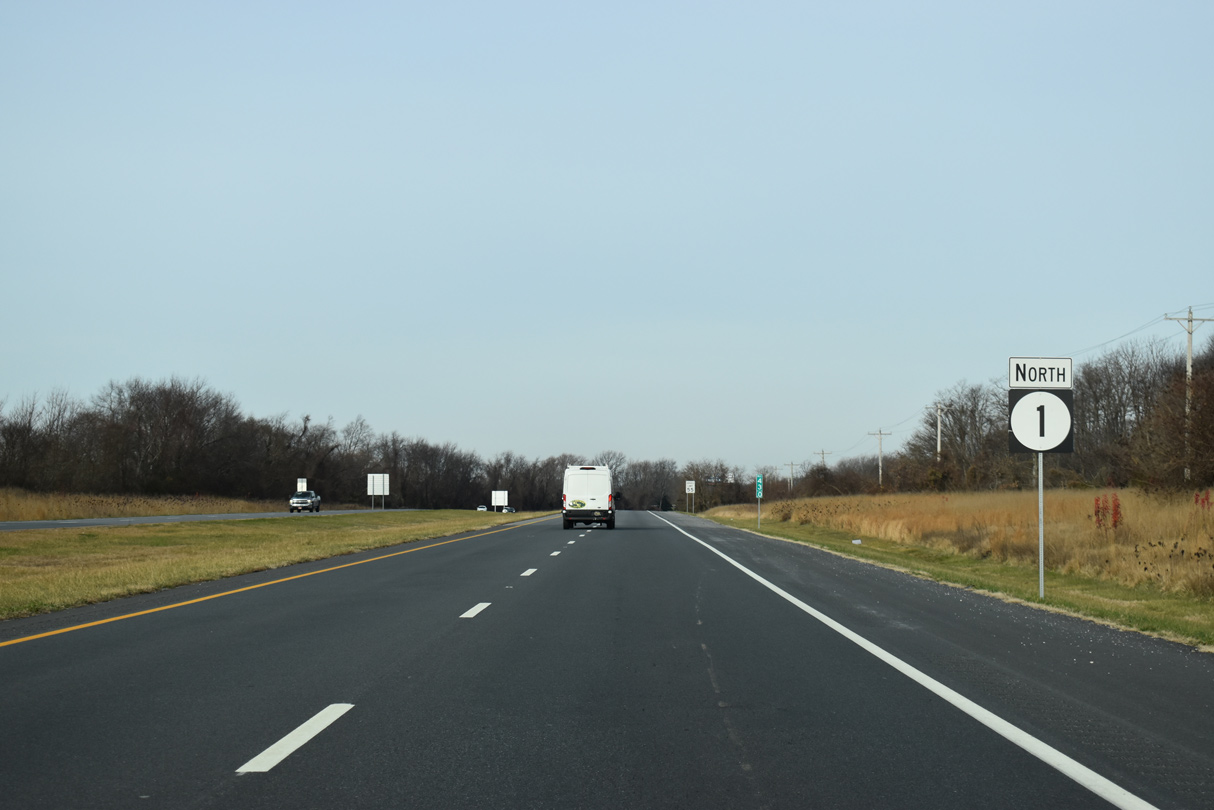
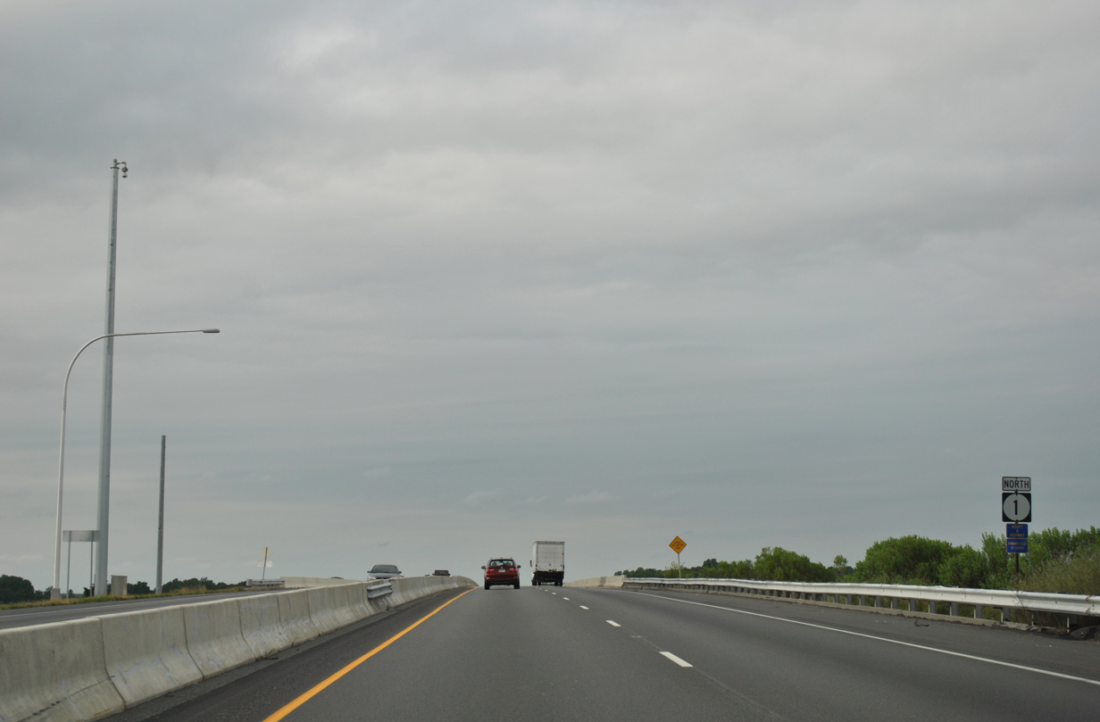
| Dover lies 19 miles to the north via Bay Road while SR 1 (Korean War Veterans War Memorial Highway) leads motorists to Wilmington via U.S. 13 or I-95 in 64 miles. 12/19/20 |
|
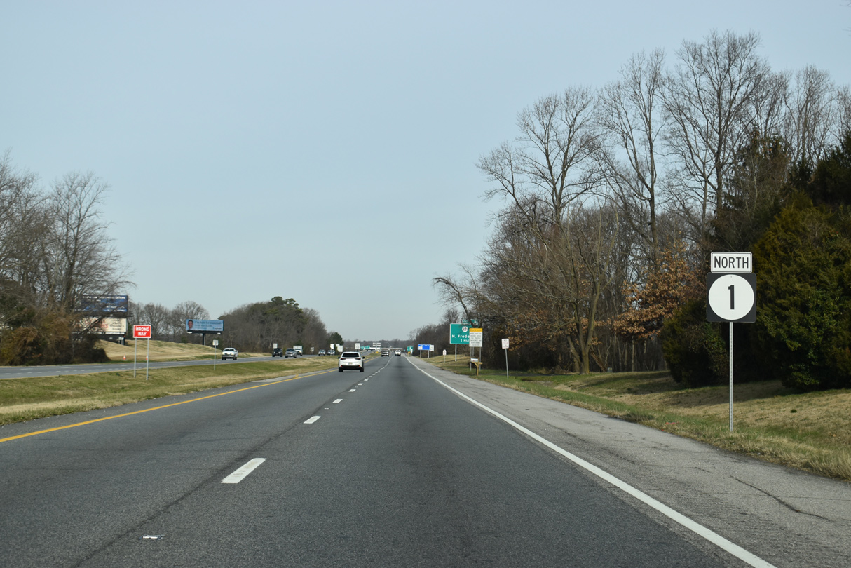
| SR 14 follows NW and NE Front Streets through Milford as part of a 19.12 mile long course west to Harrington and the Maryland state line at Burrsville. 12/19/20 |
|
| New Wharf Road (Rd 409) loops north from SR 1 and SR 14 (NE Front Street) to the Woods Haven neighborhood and New Wharf at Swan Creek, and west to SR 1 (Bay Road) near Lynch Heights. 12/19/20 |
|
| SR 1 replaced SR 14 north from Ocean City, Maryland to Milford when it was designated in 1974. 12/19/20 |
|
| Associated work with the SR 1, NE Front Street Grade Separated Intersection at SR 14 continues to Spring 2021. 12/19/20 |
|
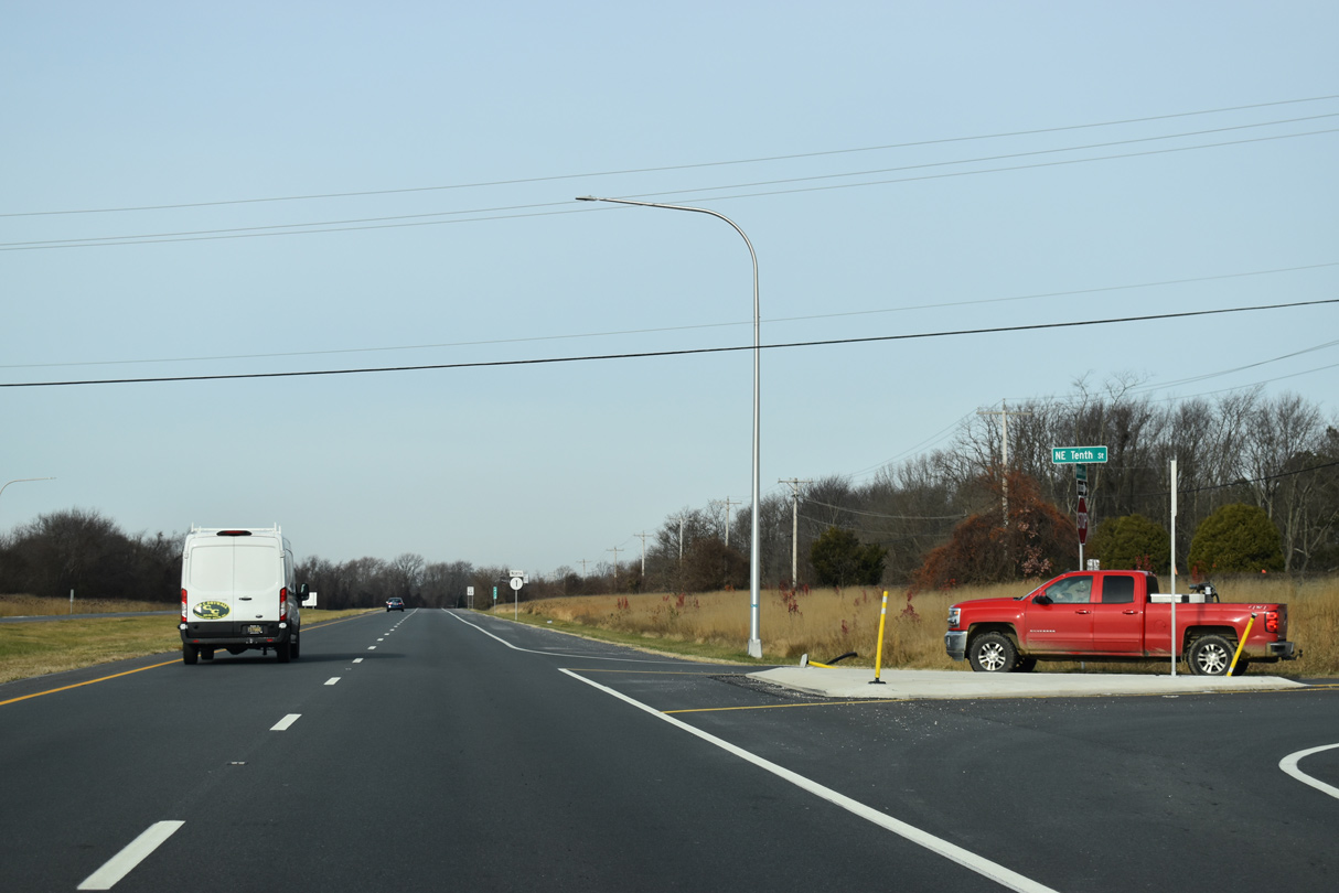
| Construction of the exchange with SR 14 included reconfiguring the at-grade intersection with NE 10th Street (Rd 408) into a right in right out (RIRO) setup. 12/19/20 |
|
| NE 10th Street stems east from SR 1 northbound 0.59 miles through the Woods Haven neighborhood to New Wharf Road. 12/19/20 |
|
| SR 1 overtakes forthcoming U.S. 113 along Bay Road from the Milford Bypass at Tubmill Pond to Dover. 12/19/20 |
|
| A 75 mile long route north from Pocomoke City, Maryland, U.S. 113 ends alongside SR 1 Business at a wye interchange with SR 1. 12/19/20 |
|
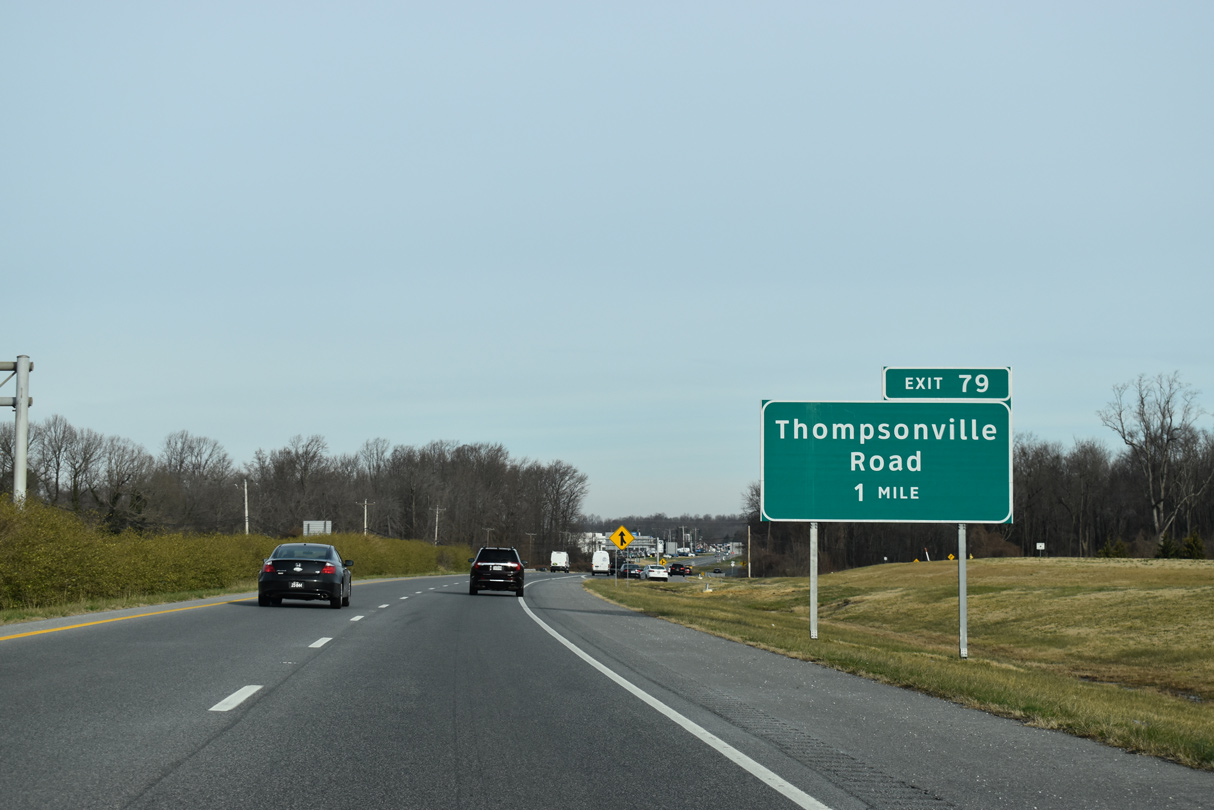
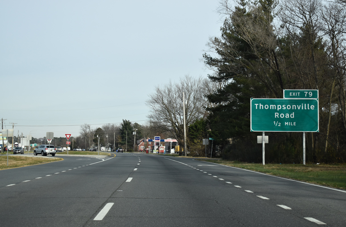
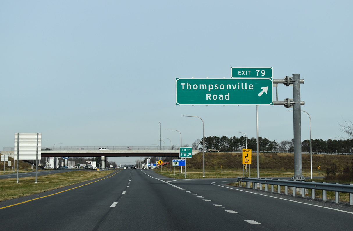
| Construction from February 2015 to early 2017 added a folded diamond interchange (Exit 79) joining SR 1 with Thompsonville Road. The project extended Thompsonville Road (Rd 19) west to Tub Mill Pond Road at Church Hill Road and built Montour Drive, a service road. 12/19/20 |
|
| New Wharf Road (Rd 409) returns to SR 1 just beyond U.S. 113 and Swan Creek. U.S. 113 overlapped with SR 1 north to Dover A.F.B. prior to 2004. 12/19/20 |
|
| A number of car dealerships and homes line SR 1 (Bay Road) north from U.S. 113 to the exchange (Exit 79) with Thompsonville Road. Thompsonville Road angles 3.68 miles northeast from SR 1 to S Bowers Road (Rd 121) at Thompsonville. 12/19/20 |
|
| Exit 79 departs from SR 1 (Bay Road) for Thompsonville Road north toward South Bowers along Delaware Bay and Church Hill Road west to north Milford. The exit opened to traffic in November 2016. 12/19/20 |
|
| SR 1 (Bay Road) continues north from Exit 79 through a mixture of open farmland and clusters of businesses. 12/19/20 |
|
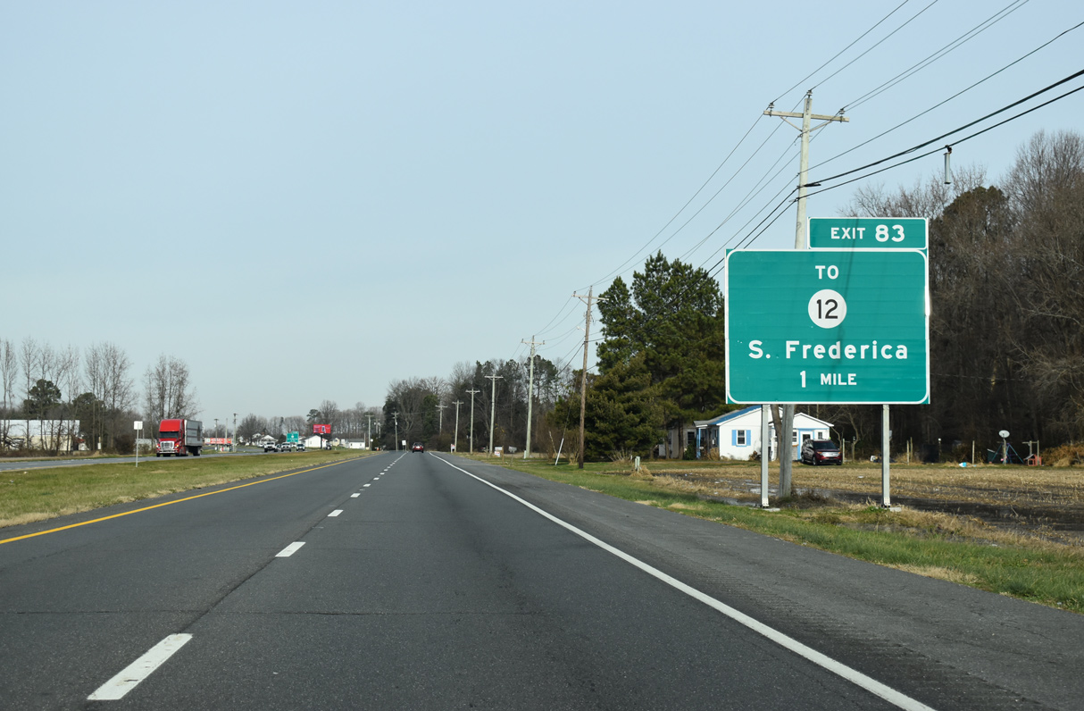
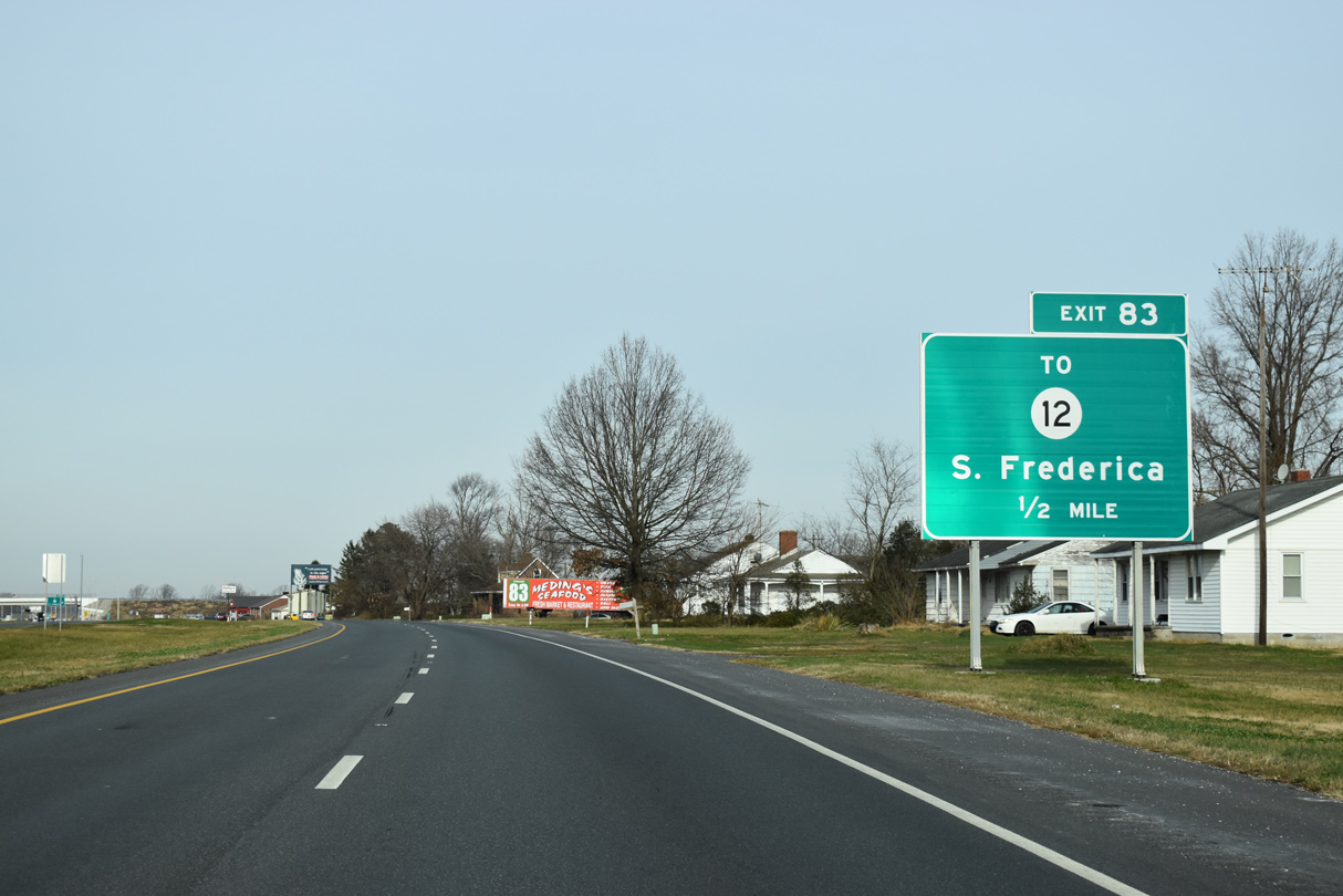
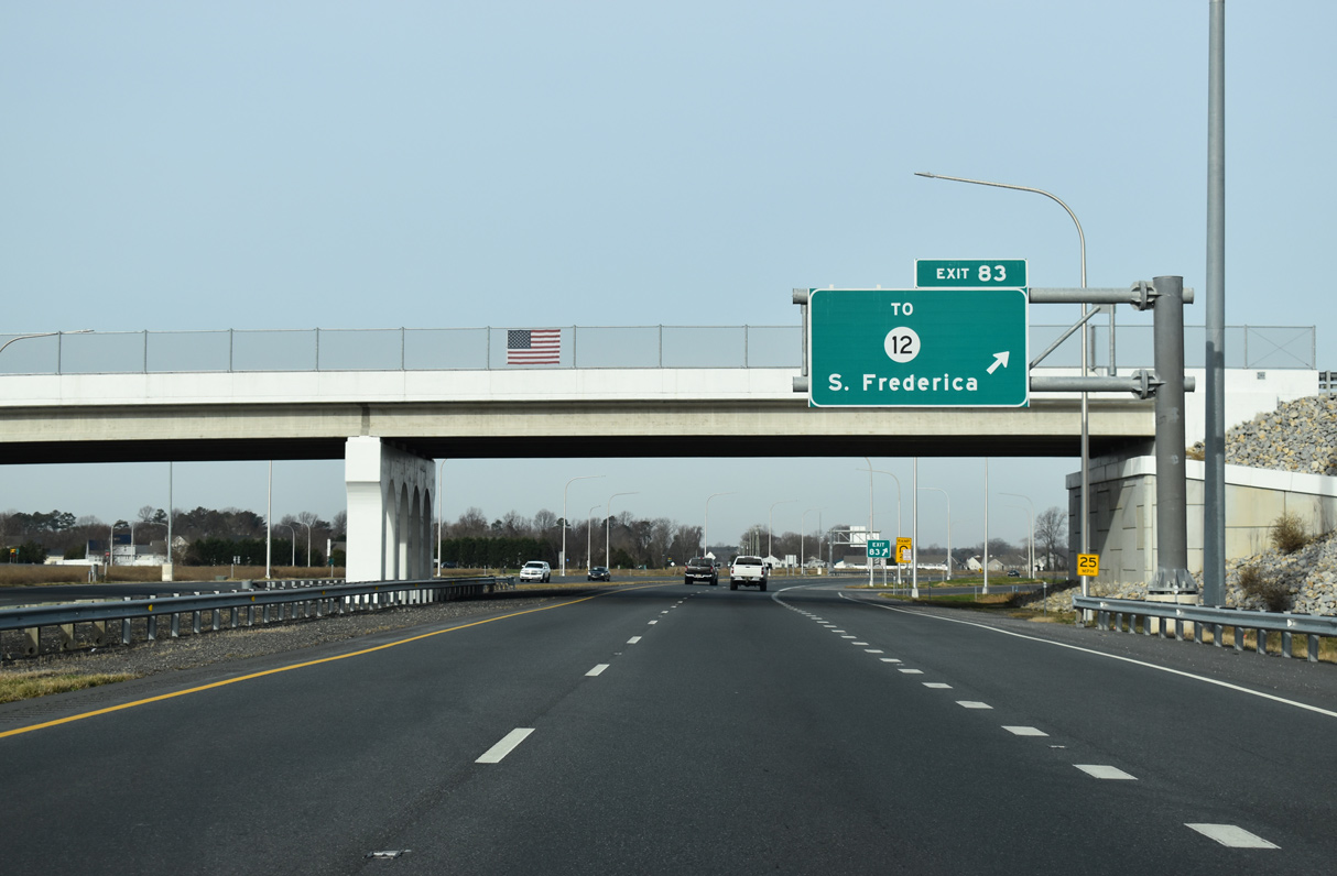
| Providing a direct route to SR 12 west to Felton, Frederica Road (Rd 10) loops west from Exit 83 at Milford Neck Road into the town of Frederica. 12/19/20 |
|
| Road work from March 2016 to Fall 2019 replaced at-grade intersections with Tub Mill Pond Road west, Milford Neck Road east and Frederica Road north with a folded diamond interchange (Exit 83) and new access road. 12/19/20 |
|
| Frederica Road represents the old alignment of U.S. 113 through Frederica. SR 12 ties into Frederica Road in Downtown via the couplet of Front and David Streets. 12/19/20 |
|
| A southbound SR 1 trailblazer appears after the entrance ramp from the DE Turf Sports Complex. 12/19/20 |
|
| Although within the town limits, SR 1 stays east of Frederica along a bluff next to the Murderkill River. 12/19/20 |
|
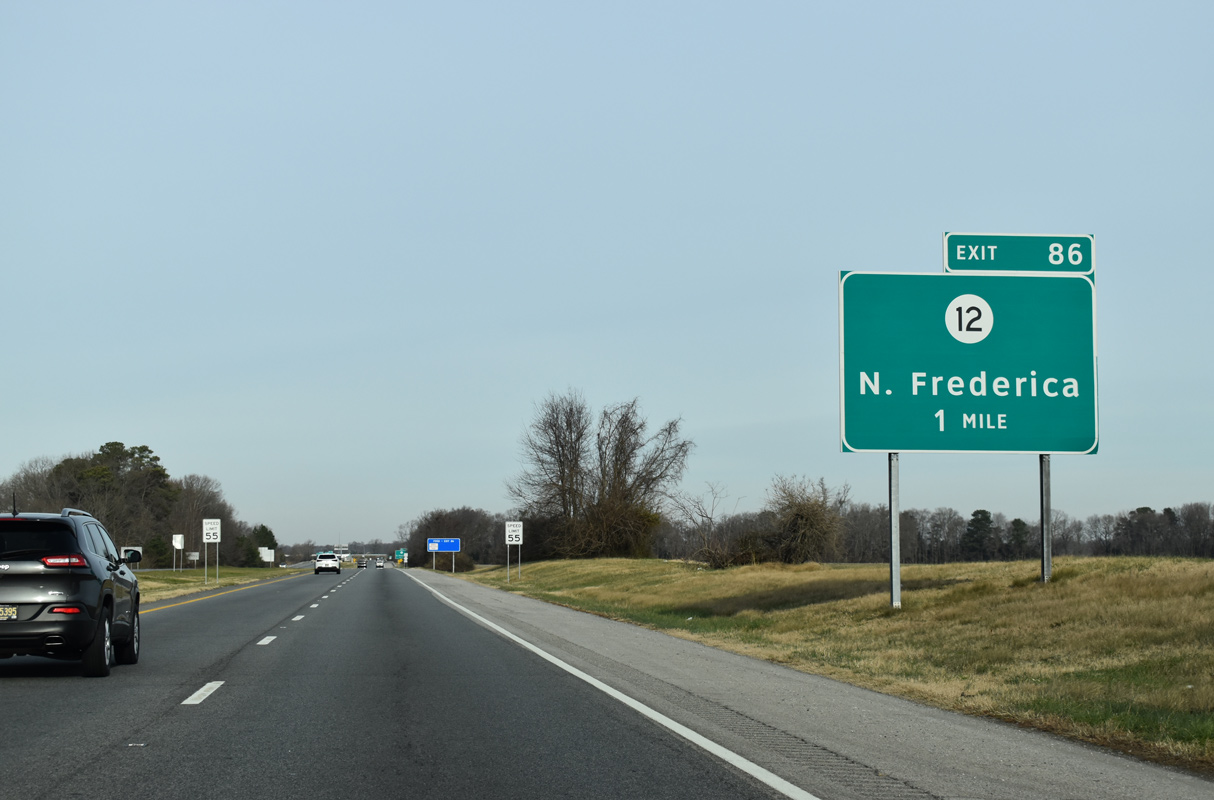
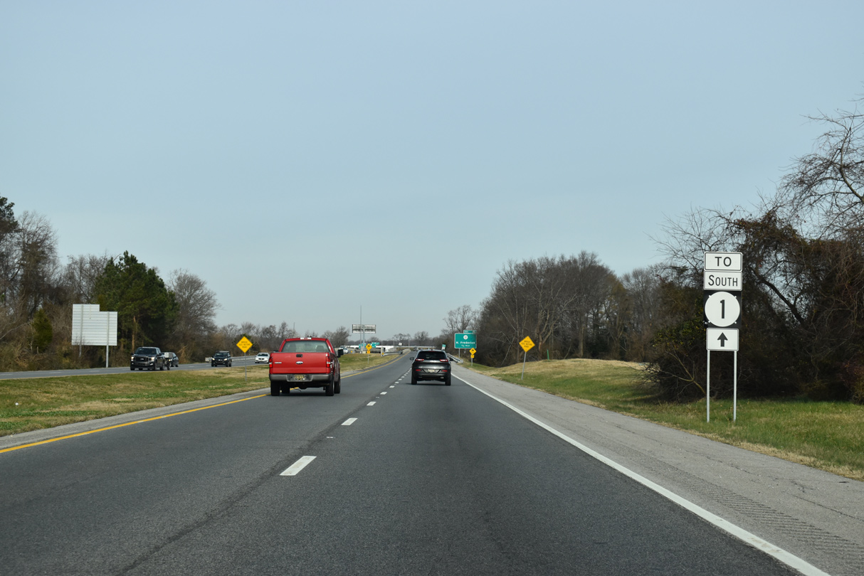
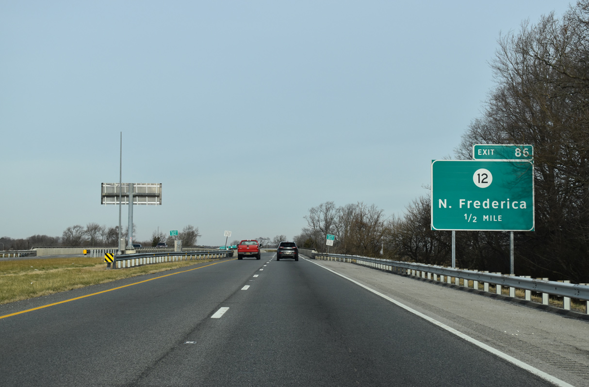
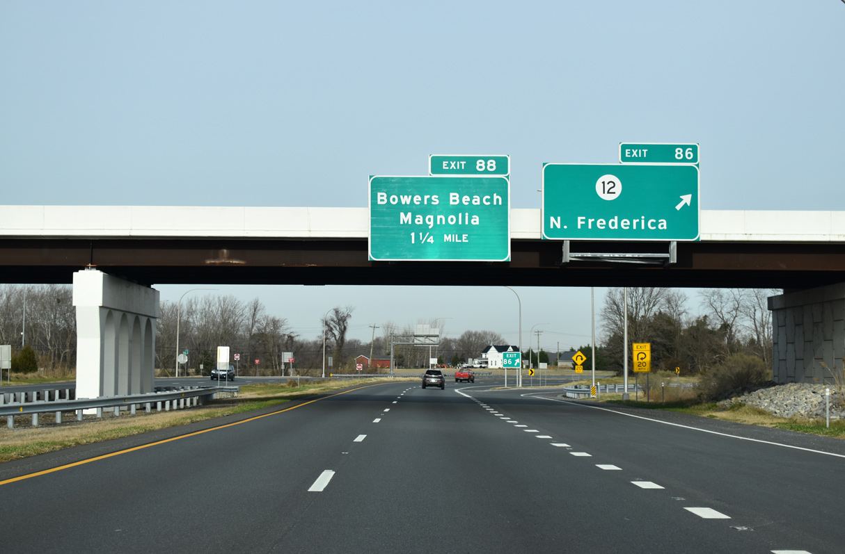
| A folded diamond interchange (Exit 86) connects the east end of SR 12 (Frederica Road) with SR 1 in one mile. 12/19/20 |
|
| SR 1 (Bay Road) crosses the Murderkill River a half mile south of SR 12. SR 12 runs 16.19 miles west to the Maryland state line at Whiteleysburg by way of Felton and Hollandsville. 12/19/20 |
|
| The grade separated intersection at SR 12 fully opened to traffic on June 28, 2011. The southbound exit ramp opened a week prior.1 12/19/20 |
|
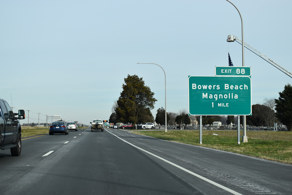
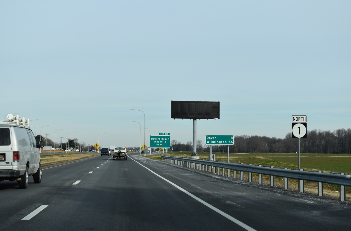
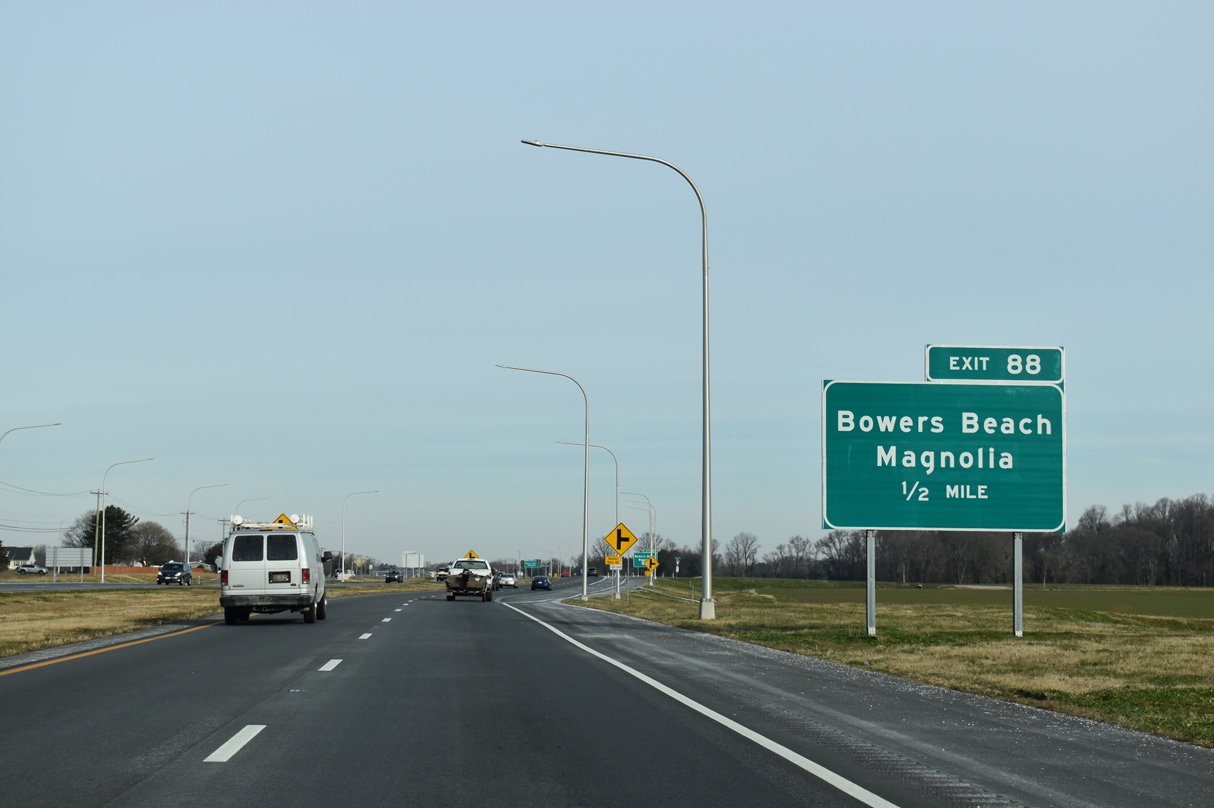
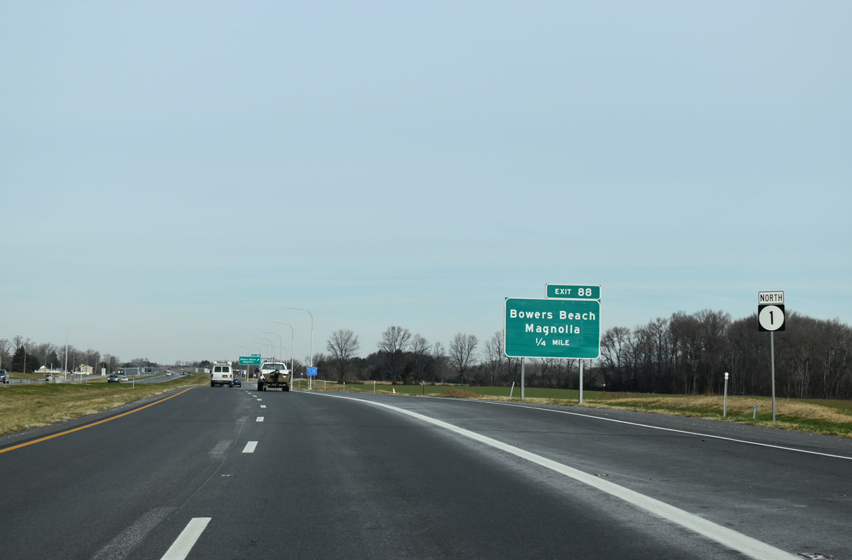
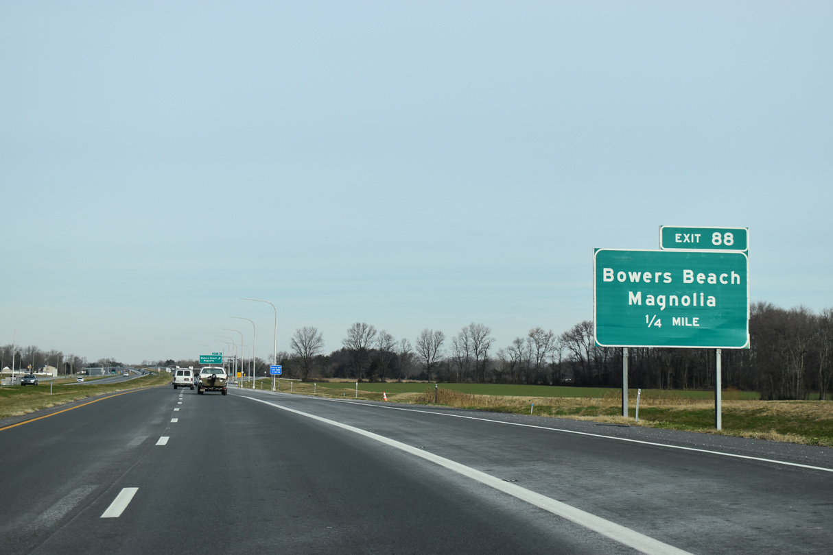
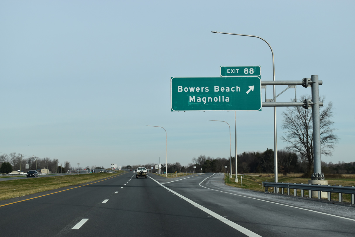
| Exit 88 joins SR 1 with Bowers Beach Road (Rd 18) east and Clapham Road (Rd 27) north one mile beyond Barratts Chapel Cemetery. 12/19/20 |
|
| SR 1 (Bay Road) continues north by tracts of farm land to the rural community of Little Heaven. 12/19/20 |
|
| Bowers Beach Road spurs 3.02 miles from SR 1 (Bay Road) to become Main Street east into Bowers Beach along Delaware Bay. 12/19/20 |
|
| Skeeter Neck Road (Rd 372) forms a 2.51 mile long loop from an intersection with SR 1 northbound preceding this shield assembly to Bowers Beach Road at the community of Little Heaven. 12/19/20 |
|
| Construction from November 2015 to Fall 2019 replaced the traffic signal at Bowers Beach Road with a grade separated intersection (Exit 88). Clapham Road was also realigned to eliminate a succeeding intersection. 12/19/20 |
|
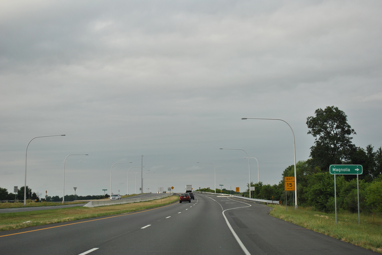
| Heading northwest to Main Street in the town of Magnolia, Clapham Road was formerly a part of U.S. 113 Alternate. Decommissioned in February 2004, U.S. 113 Alternate continued north along State Street from Magnolia to Rising Sun and U.S. 13 (S Dupont Highway) in Dover. 12/19/20 |
|
| Linking Bowers Beach Road with Clapham Road north and Mulberrie Point Road (Rd 373) east, service roads accompany SR 1 (Bay Road) from Exit 88. 12/19/20 |
|
| SR 1 (Bay Road) passes east of Magnolia across agricultural areas and wetlands spreading west from Trunk Ditch. 12/19/20 |
|
| The first of three turnarounds along SR 1 between Little Heaven and the St. Jones River serves a house along the west side of Bay Road. 12/19/20 |
|
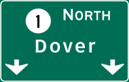
| Downtown Dover lies nine miles to the northwest via SR 1, Bay Road, U.S. 13 (DuPont Highway) and SR 8 (Division Street). 12/19/20 |
|
| A folded diamond interchange joins SR 1 with Trap Shooters Road along the south banks of the St. Jones River. Trap Shooters Road ties in with Barkers Landing Road southwest to the town of Magnolia. 06/18/12 |
|
| SR 1 (Bay Road) spans the St. Jones River and associated marshlands north of Barkers Landing. The St. Jones flows southeast from Dover to Delaware Bay at Bowers Beach. 06/18/12 |
Page Updated 02-26-2021.