|
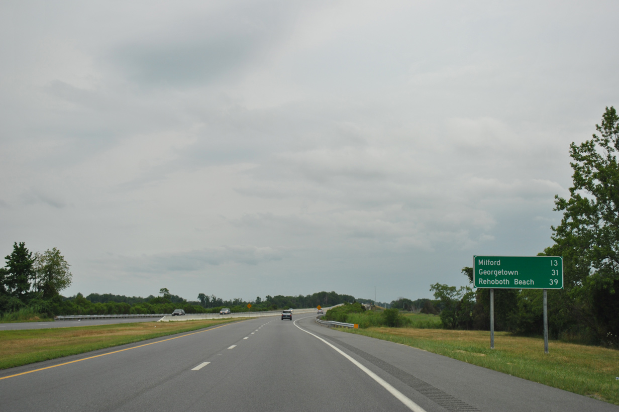
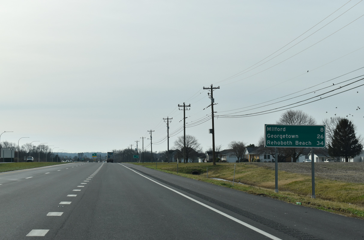
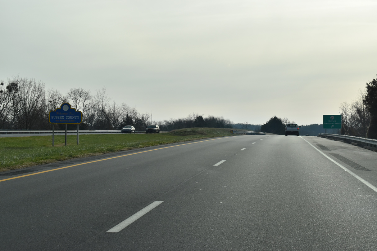
| SR 1 (Bay Road) spans the St. Jones River 13 miles from Milford and 39 miles from Rehoboth Beach. Georgetown, seat of Sussex County, is 31 miles away via U.S. 113 south from Milford. 06/18/12 |
|
| The St. Jones River bridge at Barkers Landing was built in 1984. Passing 24 feet across the river, the span measures 2,208 feet in length.1 08/05/07 |
|
| A folded diamond interchange located on the south side of the St. Jones River joins SR 1 (Bay Road) with Trap Shooters Road west to Barkers Landing Road. Barkers Landing Road angles southwest to the town of Magnolia. 12/27/17 |
|
| SR 1 (Bay Road) continues across farm land west of Trunk Ditch to Little Heaven. Commercial development is minimal between Dover and Milford. 12/27/17 |
|
| Work from November 2015 to Fall 2019 upgraded SR 1 (Bay Road) between Mulberry Point Road and Bowers Beach Road to limited access standards. Included in the project was a grade separation with Bowers Beach Road (Rd 18) and the addition of service roads to accommodate private driveways and link the exit ramps with Clapham Road north. 12/19/20 |
|
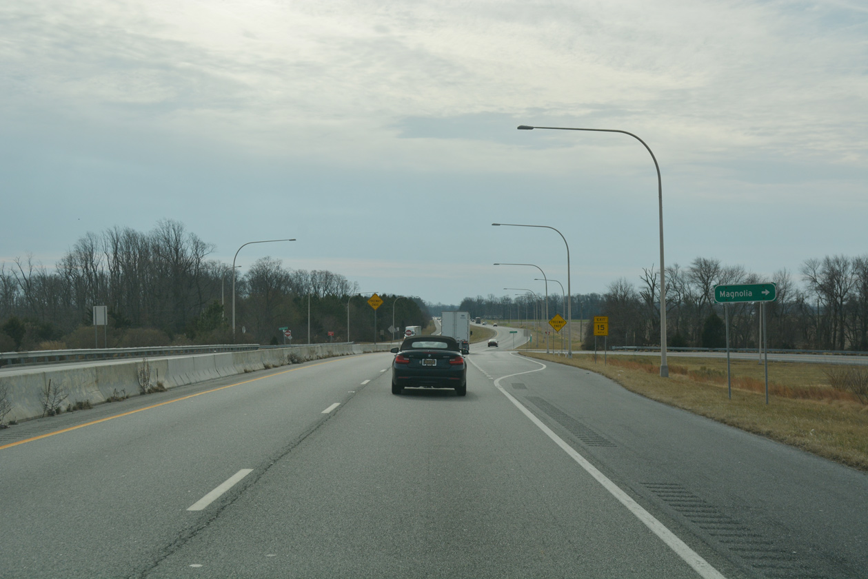
| Clapham Road (Rd 27) runs northwest from Exit 88 to Magnolia. Clapham Road was the original alignment of U.S. 113 prior to construction of Bay Road. It was designated a part of U.S. 113 Alternate north to Dover in 1952. 12/19/20 |
|
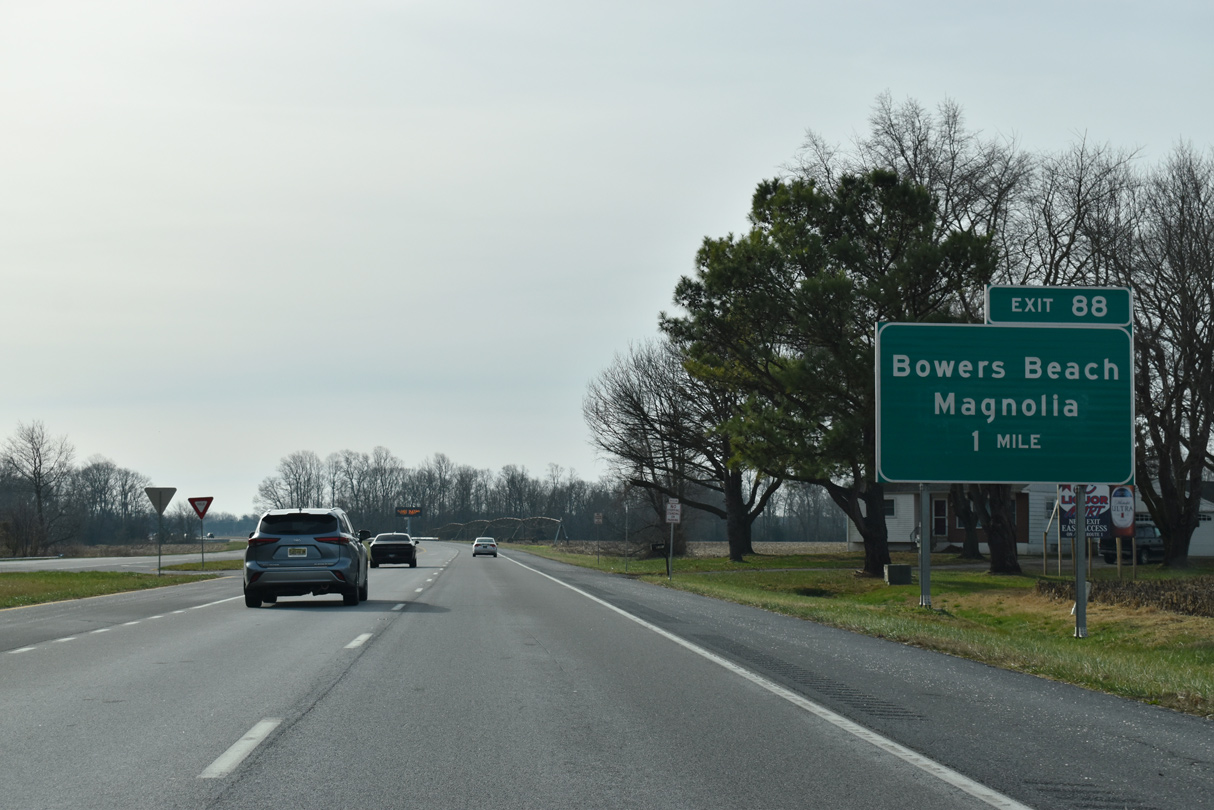
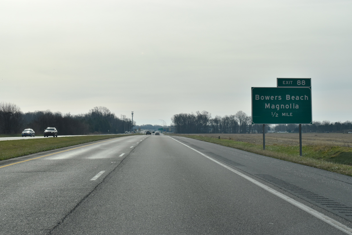
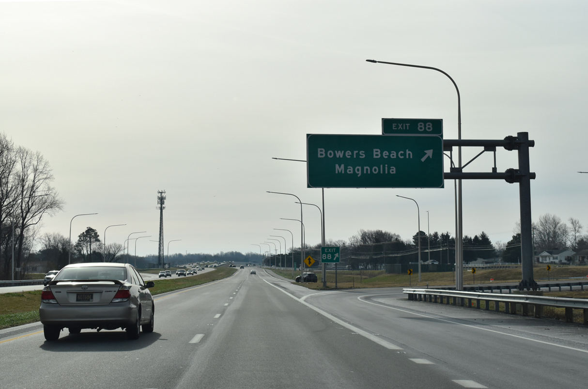
| Exit 88 joins SR 1 south with Clapham Road and the west side frontage road to Bowers Beach Road. Bowers Beach Road spurs 3.41 miles eastward from SR 1 at Little Heaven to Main Street at Bowers Beach along Delaware Bay. 12/19/20 |
|
| Heading south from Little Heaven, SR 1 (Bay Road) next reaches the settlement of Barratts Chapel. 12/19/20 |
|
| Reassurance marker posted along SR 1 (Bay Road) at the Bowers Beach Road under crossing. 12/19/20 |
|
| The entrance ramp from Bowers Beach Road precedes this confirming marker posted near Barrats Chapel. 12/19/20 |
|
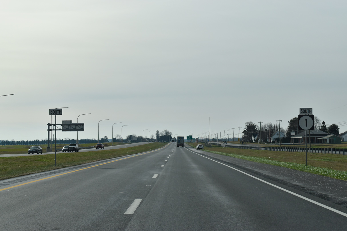
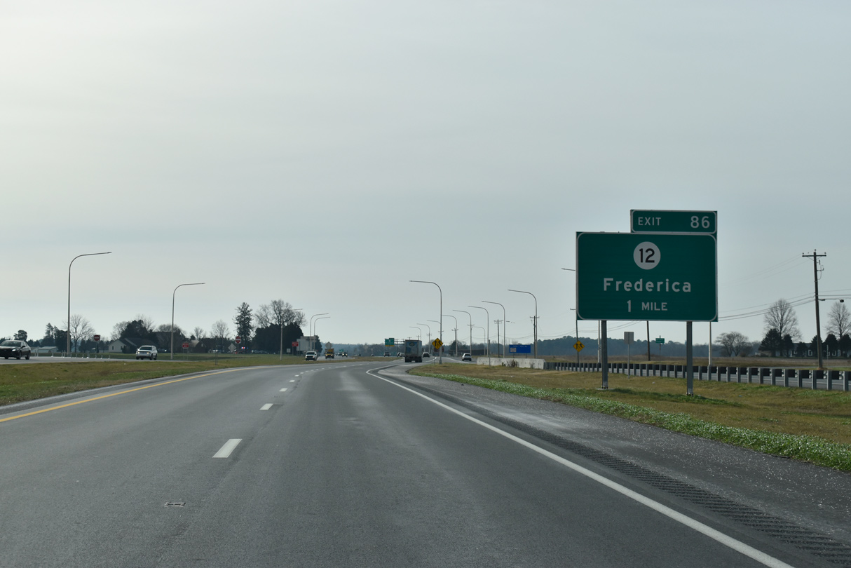
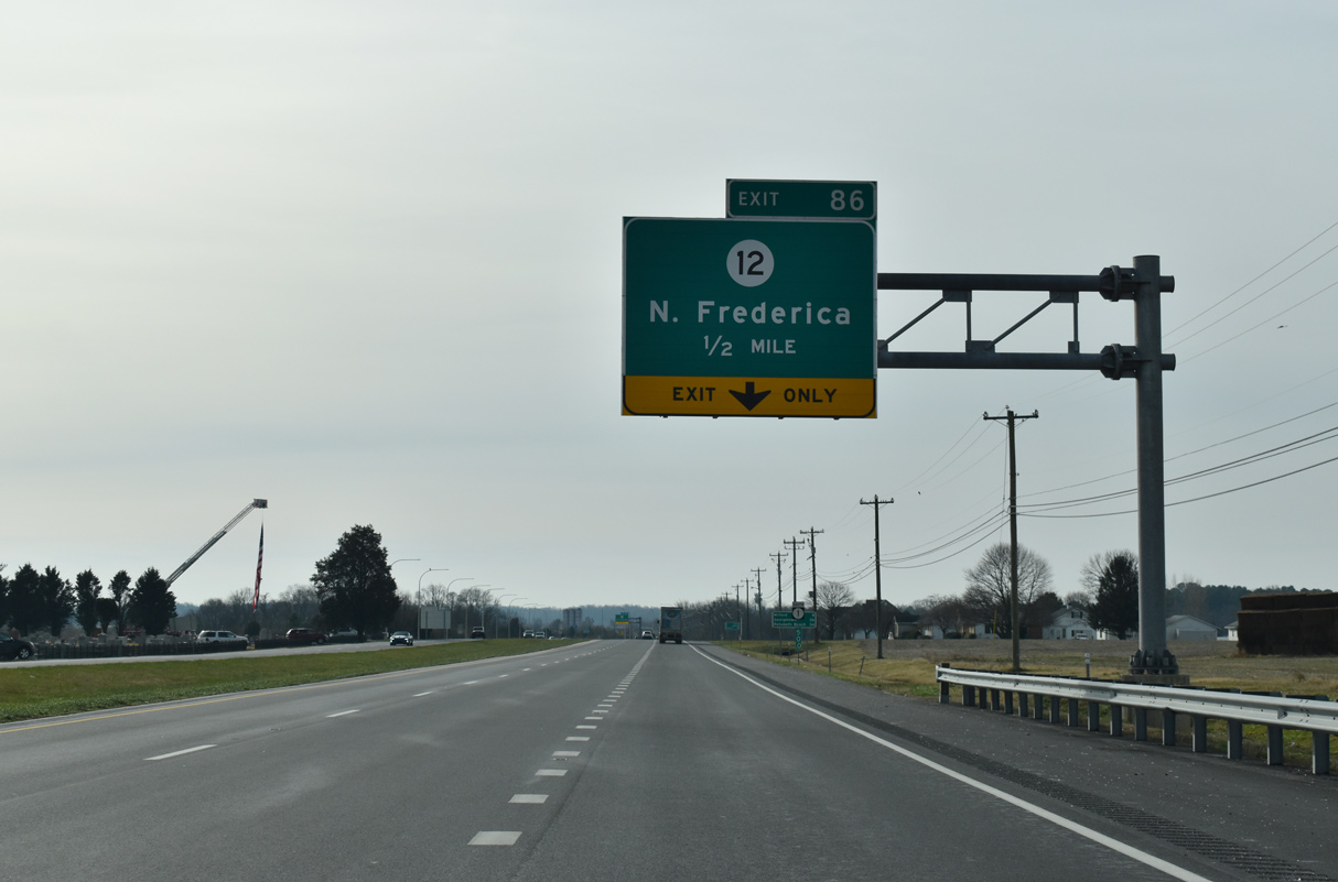
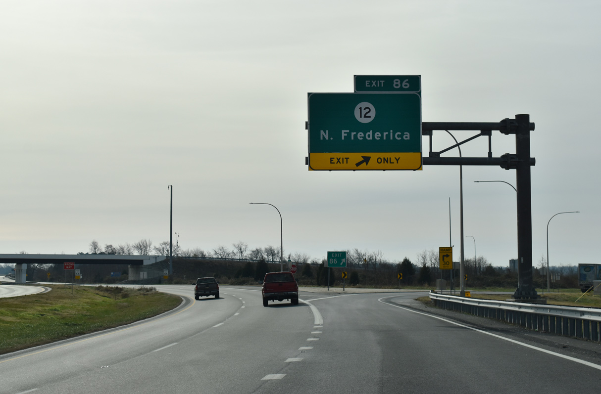
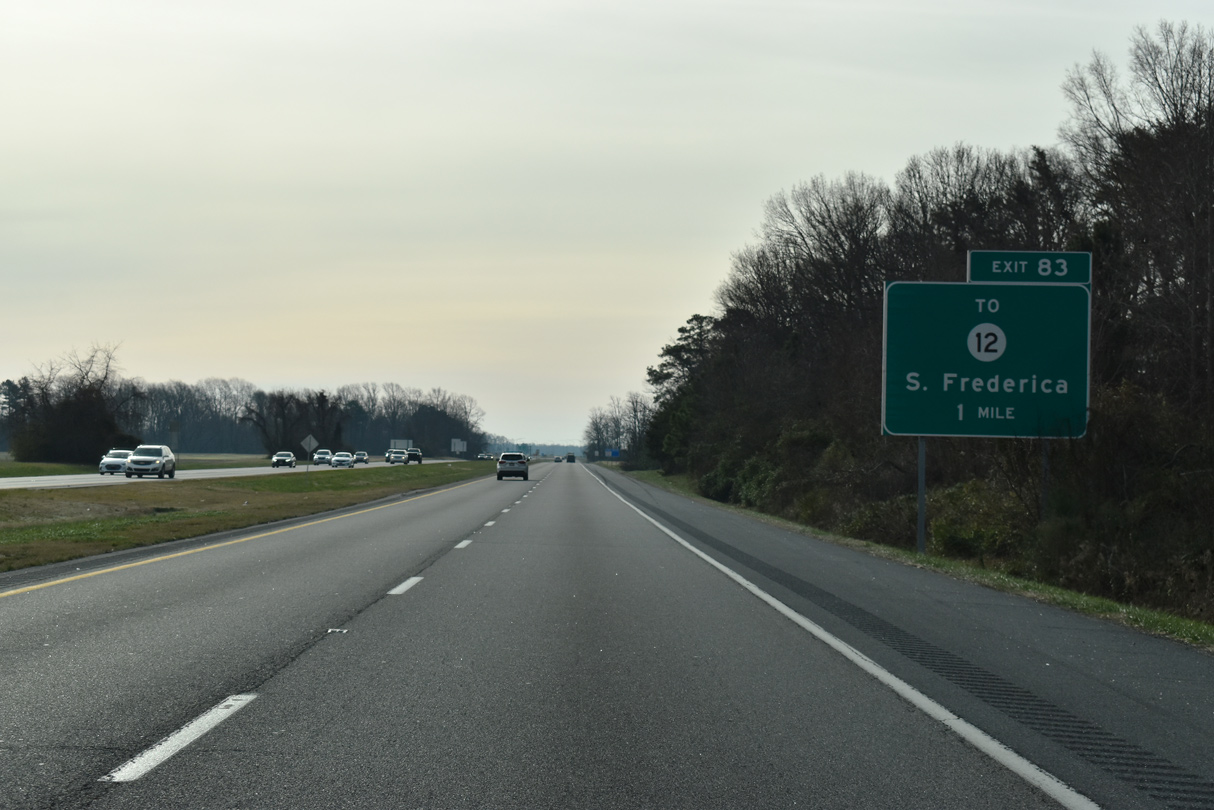
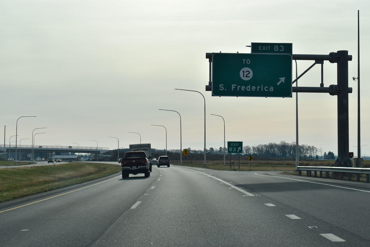
| SR 12, a 16.18 mile long route west to the Maryland state line at Whiteleysburg, meets SR 1 at a folded diamond interchange (Exit 86). 12/19/20 |
|
| The SR1, Grade Separated Intersection Project added a southbound auxiliary lane from Little Heaven to Exit 86 for SR 12 (Frederica Road) west to Frederica. SR 12 serves Killens Pond State Park, located five miles to the southwest. 12/19/20 |
|
| Construction to build the interchange south of mile marker 50 was completed on June 28, 2011. 12/19/20 |
|
| Milford lies eight miles southwest of Barratts Chapel along SR 1. Georgetown is 14 miles further on U.S. 113. 12/19/20 |
|
| Four houses remain along the southbound roadway for SR 1 (Bay Road) ahead of Exit 86 to the town of Frederica. 12/19/20 |
|
| SR 12 (Frederica Road) follows the northern half of old U.S. 113 from Exit 86 to Front Street in Frederica. There the route splits into a short couplet with David Street while en route to U.S. 13 at Felton. 12/19/20 |
|
| SR 1 (Bay Road) bypasses Frederica east across the Murderkill River. 12/19/20 |
|
| Frederica Road (Rd 10) returns to SR 1 at Exit 83, 1.43 miles south of SR 12 (David Street) in Frederica. Tub Mill Pond Road (Rd 119) ties into the exchange from the southwest and Milford Neck Road (Rd 120) from the east. 12/19/20 |
|
| Replacing an at-grade intersection, the folded diamond interchange (Exit 83) with Frederica Road north and Milford Neck Road was constructed from March 2016 to Summer 2018. 12/19/20 |
|
| SR 1 transitions from an expressway into an arterial with houses lining both sides of Bay Road south of the exchange with Milford Neck Road. 12/19/20 |
|
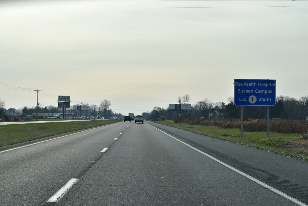
| Opening in February 2019, the Bayhealth Sussex Campus lies south of Milford by the exchange joining SR 1 with SR 30 (Cedar Creek Road). 12/19/20 |
|
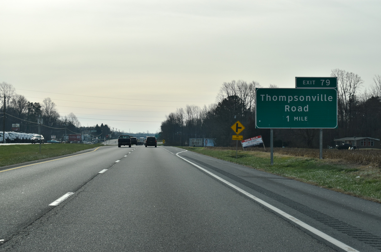
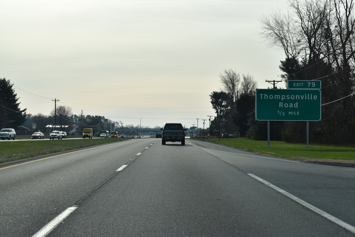
| Thompsonville Road (Rd 19) angles southwest from Thompsonville to meet SR 1 at Exit 79 in one mile. 12/19/20 |
|
| Replacing a signalized intersection with Thompsonville Road north, the folded diamond interchange at Exit 79 opened to traffic in November 2016. 12/19/20 |
|
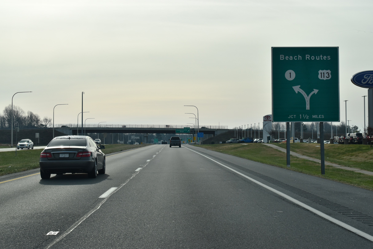
| A diagrammatic sign posted ahead of Exit 79 outlines the upcoming split of SR 1 and U.S. 113 at the Milford Bypass. 12/19/20 |
|
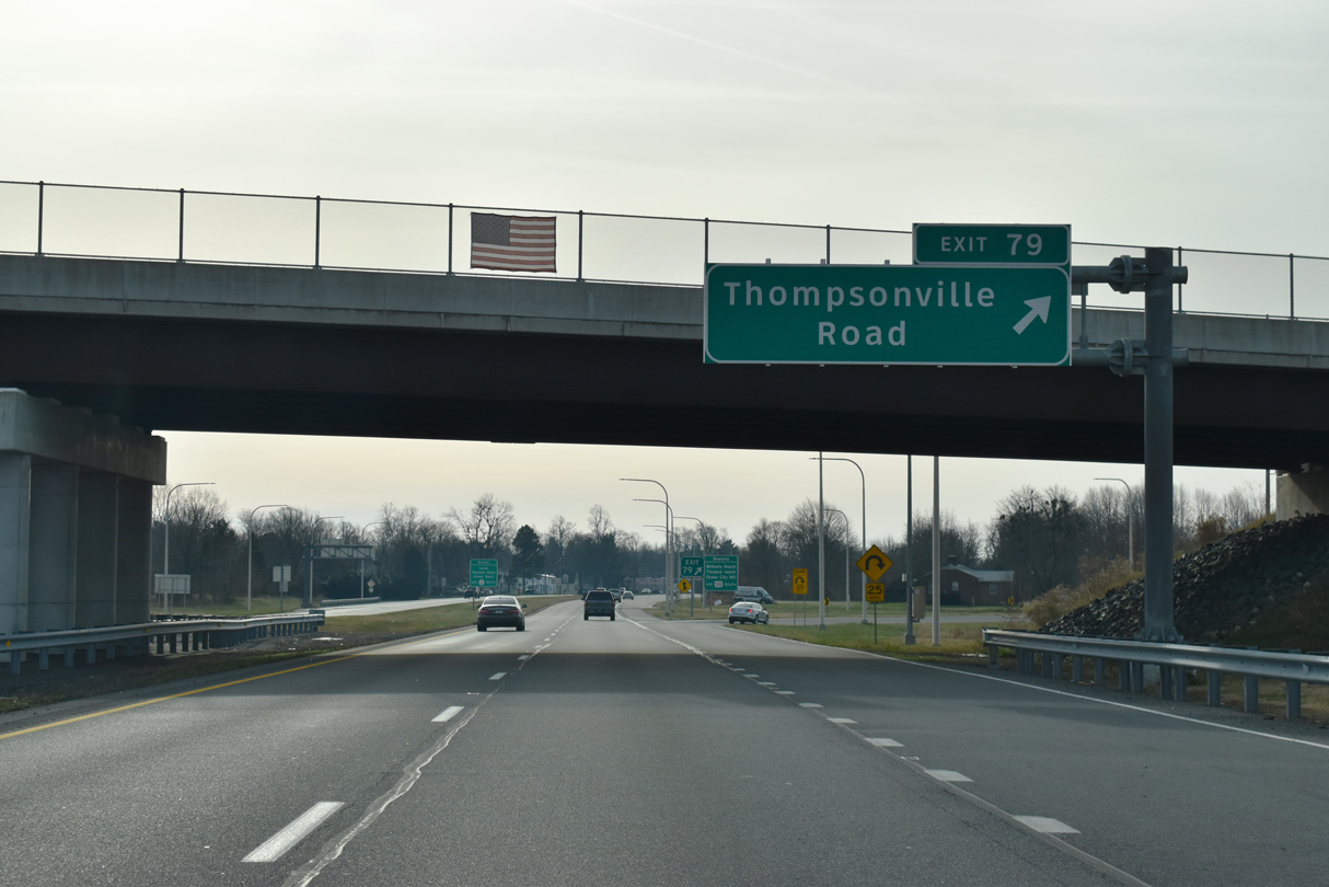
| Exit 79 loops away from SR 1 south to Thompsonville Road. Church Hill Road extends west from Thompsonville Road to SR 15 and the Milford Neck area along Delaware Bay. 12/19/20 |
|
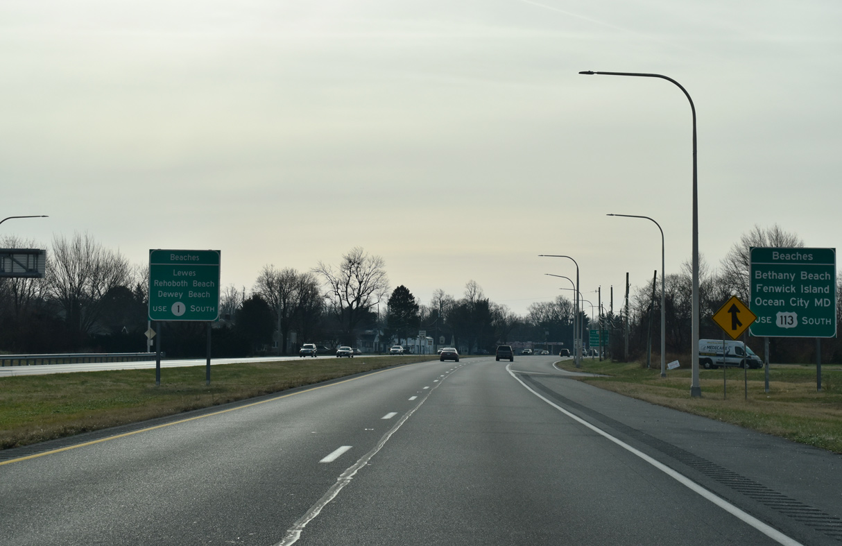
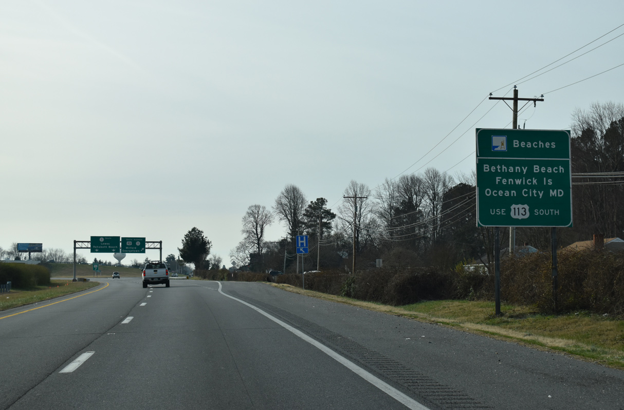
| A series of signs direct motorists bound for coastal destinations such as Bethany Beach and Fenwick Island in Delaware and Ocean City and Assateague Island, Maryland on inland U.S. 113 in lieu of SR 1 between Five Points and Dewey Beach. 12/19/20 |
|
| A frontage road (Montour Road) was added from the Thompsonville Road extension to service adjacent homes and businesses to the immediate south of Exit 79. Driveway access resumes southward on the ensuing stretch. 12/19/20 |
|
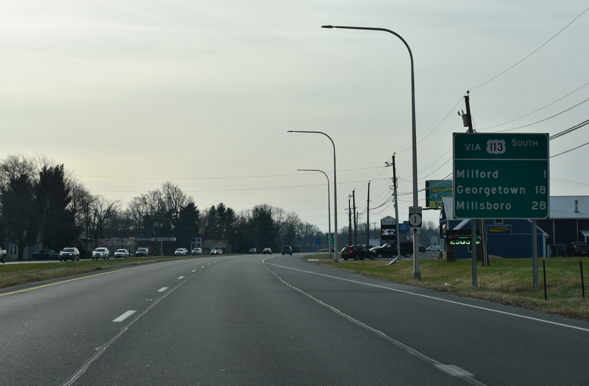
| SR 1 Business branches south from SR 1 via U.S. 113 and Walnut Street to the Milford street grid. U.S. 113 crosses paths with U.S. 9 at Georgetown in 18 miles, midway between Milford and the Maryland state line. 12/19/20 |
|
| Both U.S. 113 (DuPont Boulevard) south and SR 1 (Coastal Highway) serve coastal communities: SR 1 travels directly to Rehoboth and Dewey Beaches; U.S. 113 remains inland but serves Bethany Beach, Fenwick Island and Ocean City, Maryland via connecting routes. 12/19/20 |
|
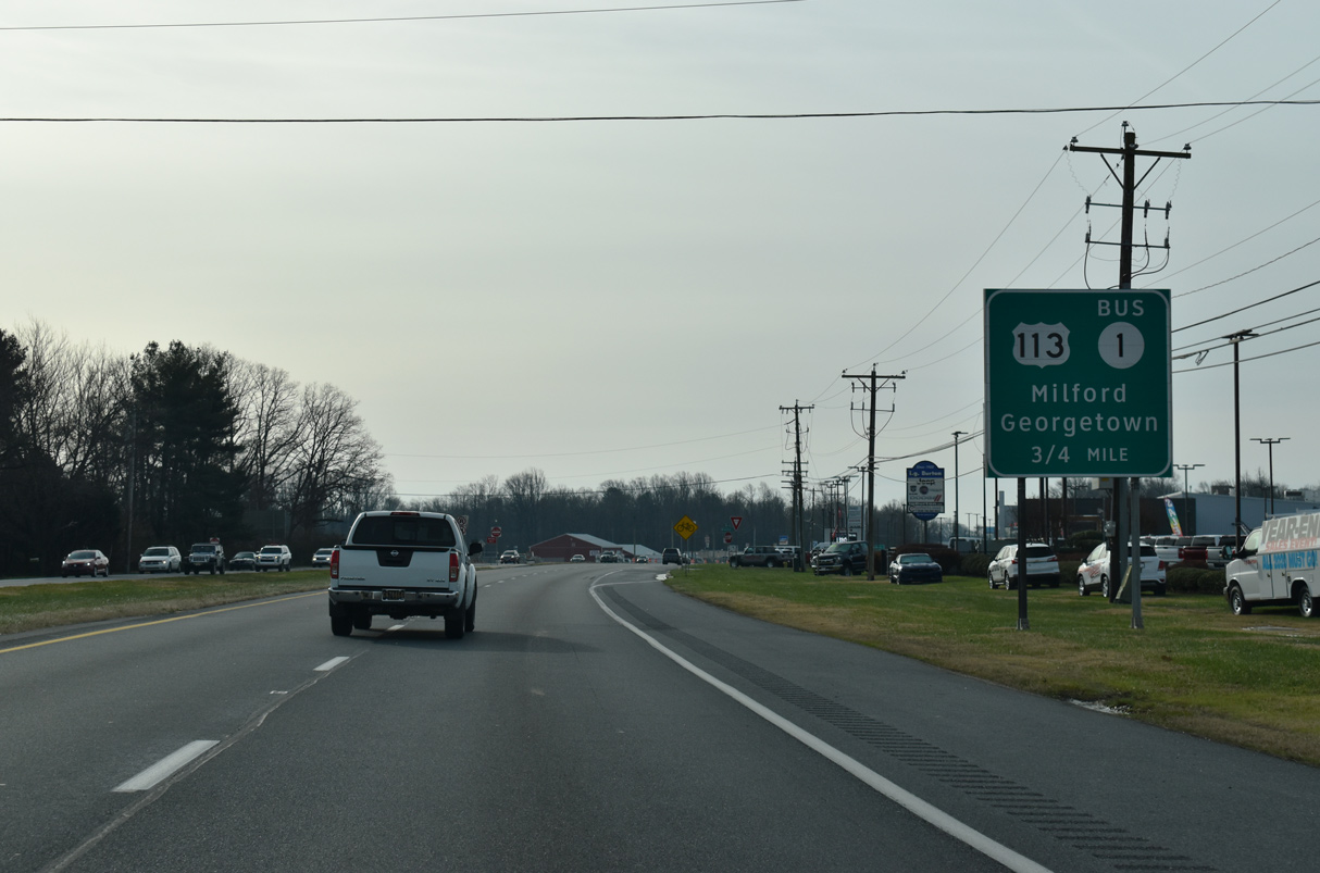
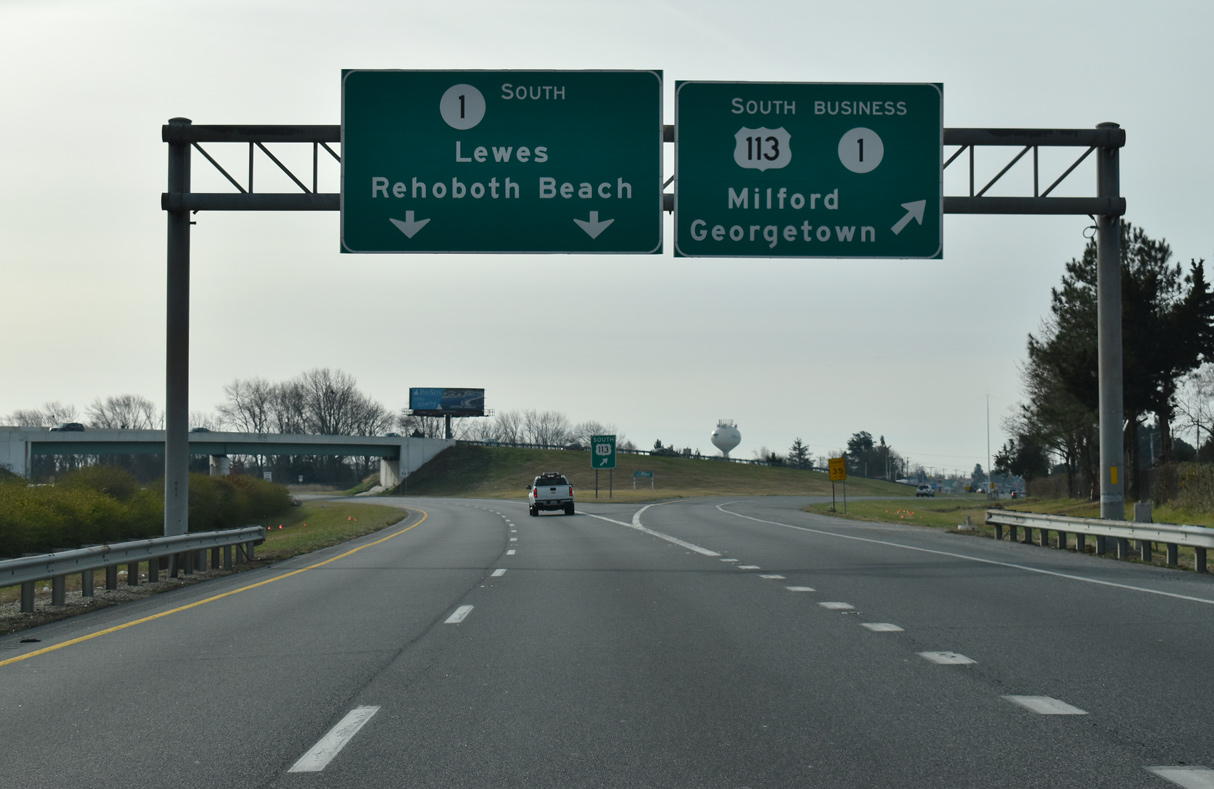
| An older sign bridge for the U.S. 113 and SR 1 southbound split. SR 1 Business runs 3.90 miles through Milford along a combination of Walnut Street and Rehoboth Boulevard. Part of the route is the former SR 14 alignment through Milford. 12/19/20 |
|
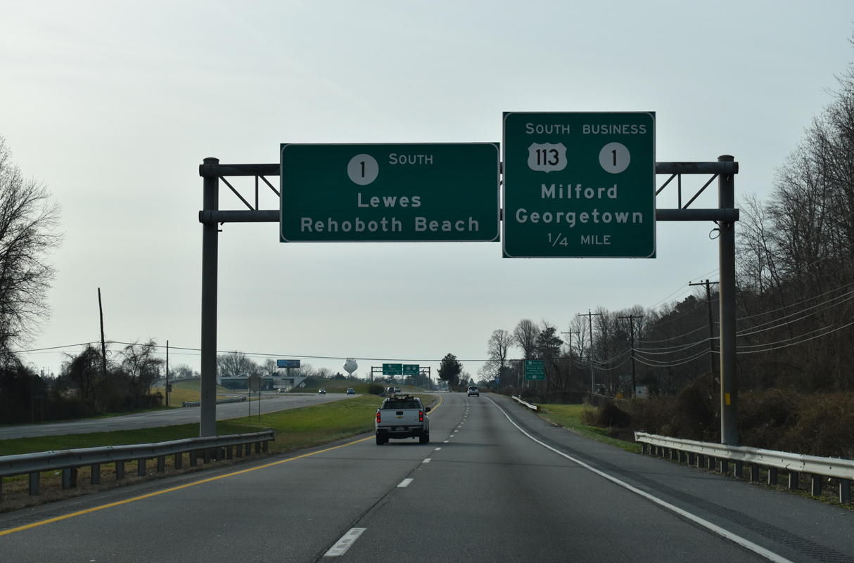
| Traffic for U.S. 113/SR 1 Business (Dupont Boulevard) separates from SR 1 south at a wye interchange. 12/19/20 |
|
| U.S. 113/SR 1 Business part ways with SR 1 south adjacent to Tubmill Pond. The two routes separate at Walnut Street in 0.4 miles. U.S. 113 travels 73 miles overall from Milford to Pocomoke City, Maryland. 12/19/20 |
|
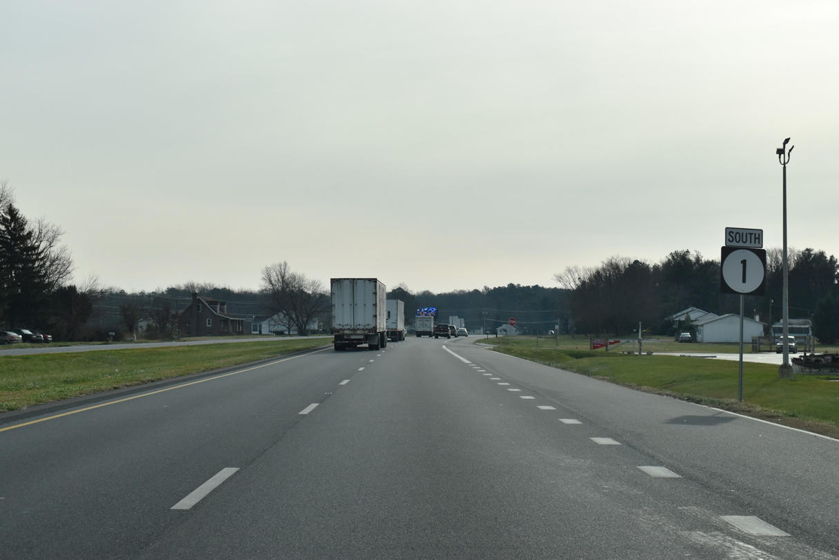
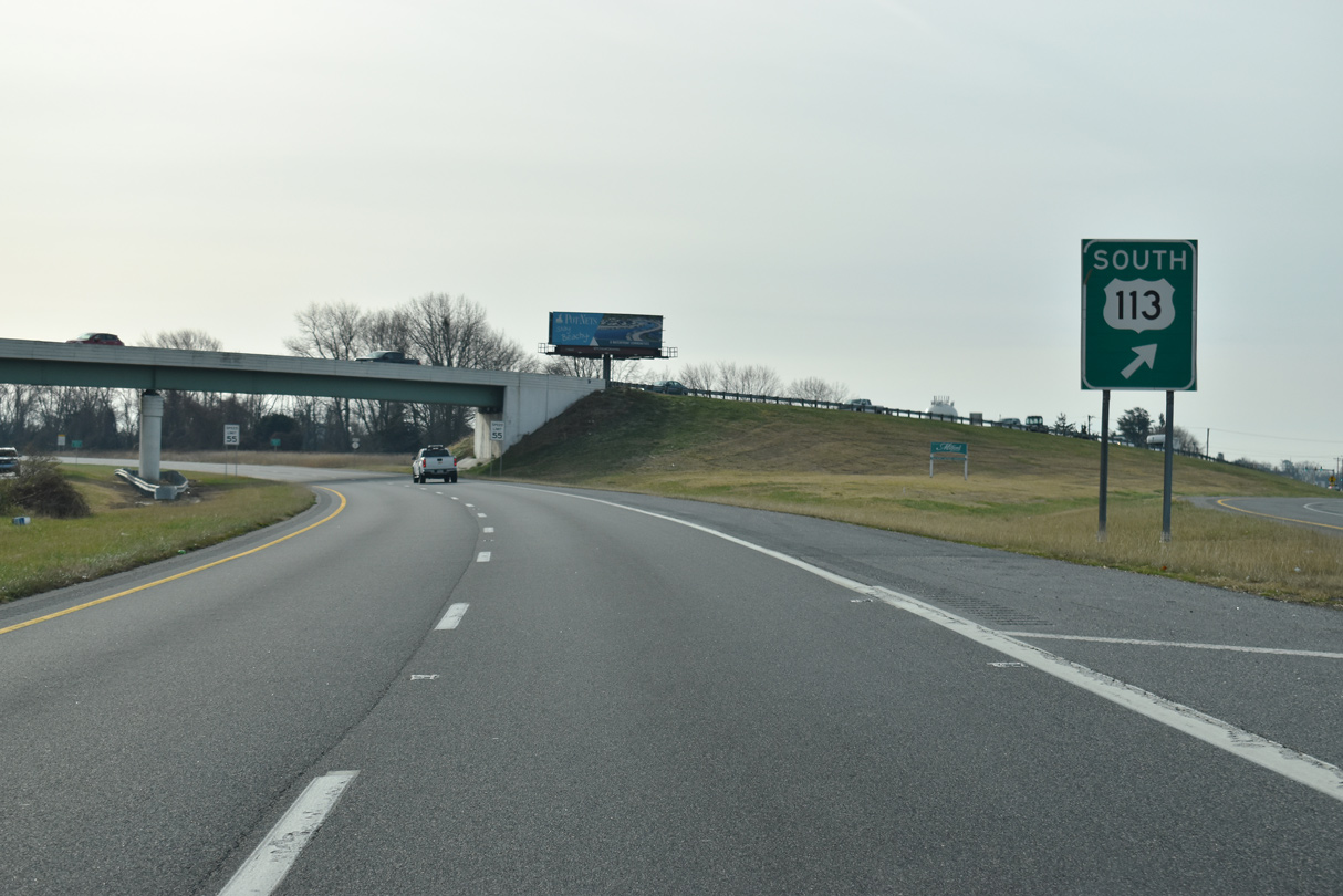
| Branching south from SR 1, U.S. 113 is a principle arterial with four lanes between Milford and the Maryland state line. SR 1 also carries four lanes southward to Ocean City, Maryland. 12/19/20 |
|
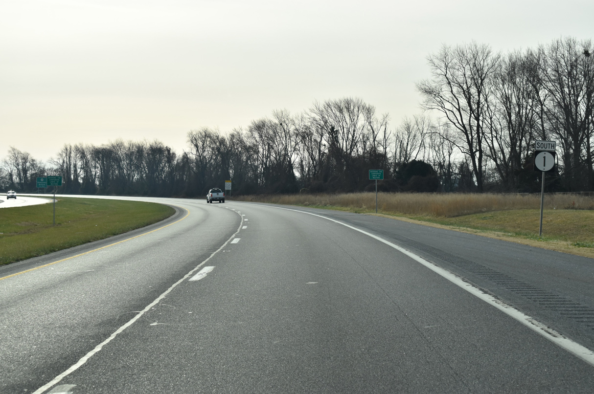
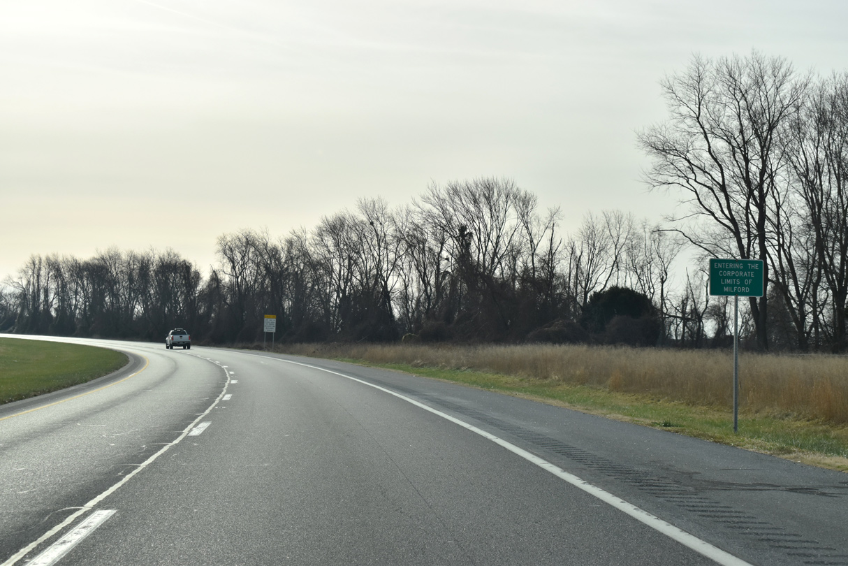
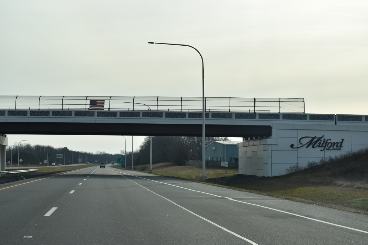
| SR 1 formally enters the Milford city limits just beyond U.S. 113. Milford is the only incorporated city in Delaware to span two counties. 12/19/20 |
|
| Until 1974, SR 1 south from Milford was a part of an extended SR 14. The renumbering left SR 14 on a western alignment from Milford to Harrington and the Maryland state line at Burrsville. 12/19/20 |
|
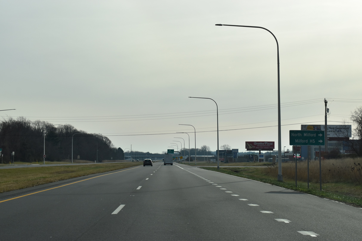
| NE 10th Street stems west from SR 1 (Milford Bypass) to Milford High School. NE 10th Street (Rd 408) east connects with SR 1 northbound at a right in right out (RIRO) connection by the Woods Haven neighborhood. 12/19/20 |
|
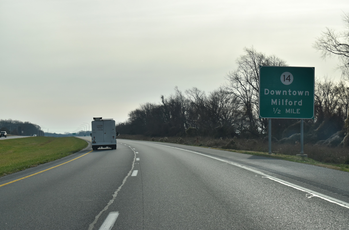
| SR 14 (Front Street) extends southwest from New Wharf Road (Rd 409) and SR 1 (Coastal Highway) to Downtown Milford. New Wharf Road loops east from SR 1/14 to New Wharf along Swan Creek, and northwest back to SR 1 (Bay Road) at Tubmill Pond. 12/19/20 |
|
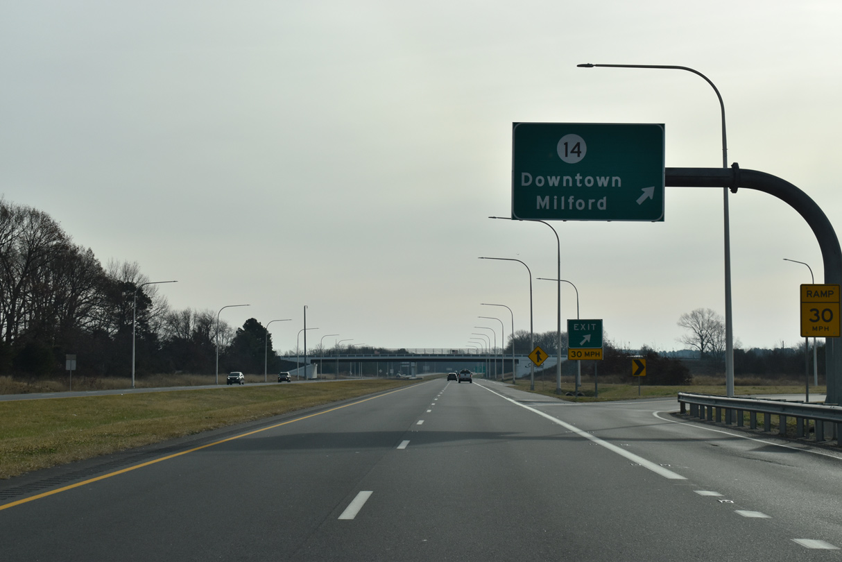
| Replacing an at-grade intersection, Construction underway from February 2018 to August 2019 built a parclo A2 interchange with SR 14 (NE Front Street). Associated work on the project continues to Spring 2021. 12/19/20 |
|
| The Milford Bypass encircles the east side of the city to the Sussex County line. The 4.4 mile long expressway opened after two years of construction in 1972. 12/19/20 |
|
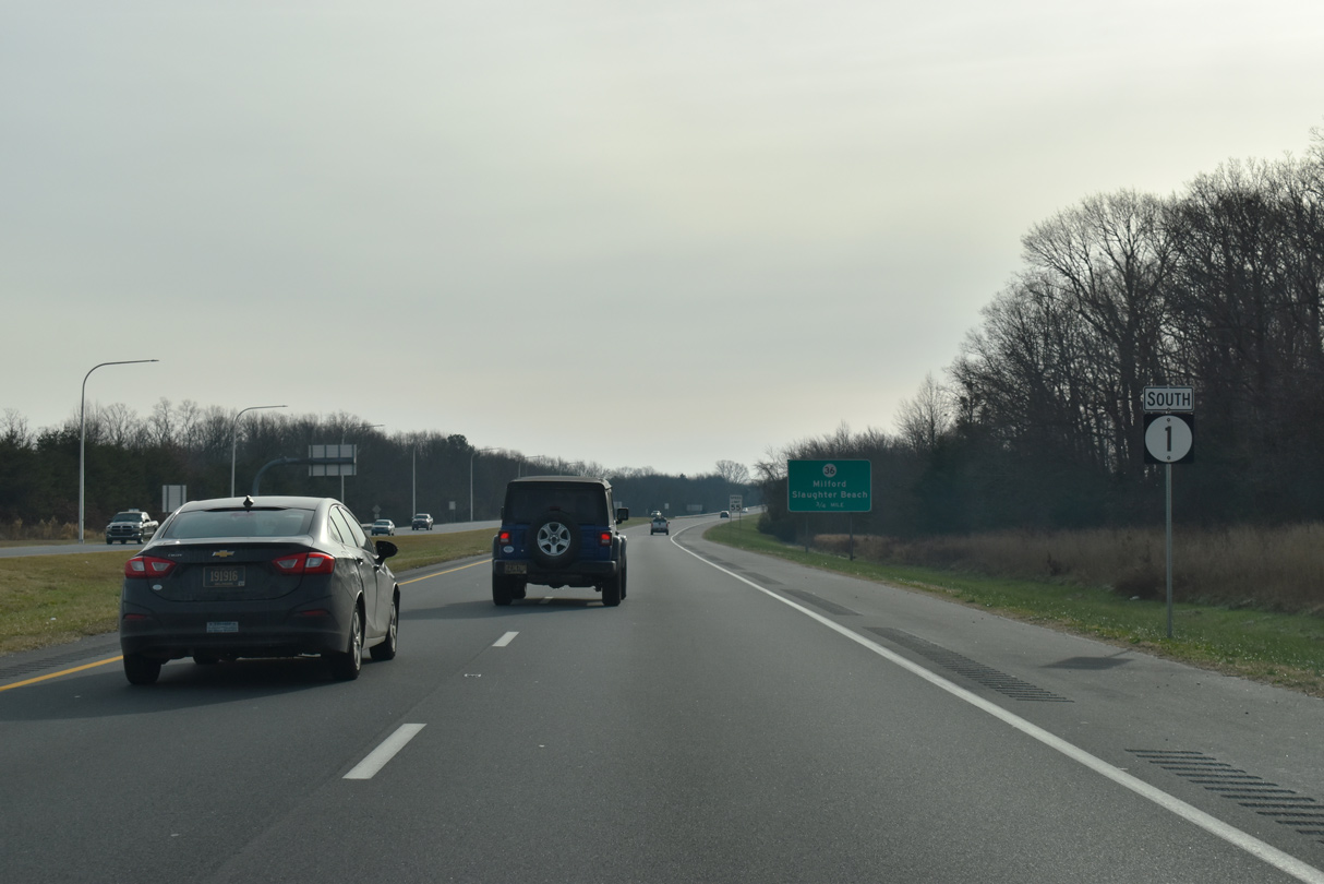
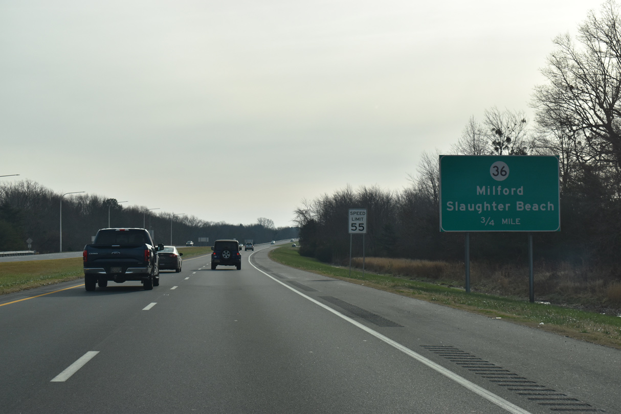
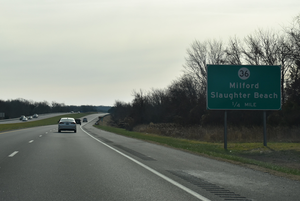
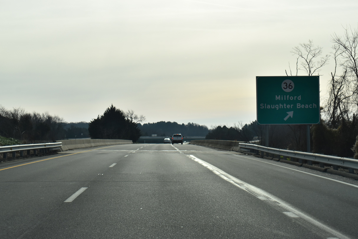
| SR 36 links the city of Milford with Slaughter Beach on Delaware Bay, 4.75 miles to the east and follows SE Front Street through Downtown Milford to the west. 12/19/20 |
|
| The diamond interchange with SR 36 (Cedar Beach Road) lies just south of the Mispillion River on SR 1 (Coastal Highway). 12/19/20 |
|
| The Mispillion River represents the dividing line between Kent and Sussex Counties east from Milford to Delaware Bay. 12/19/20 |
|
| A 23.28 mile long route, SR 36 straddles northern reaches of Sussex County along a mostly rural course west to Greenwood and Scotts Corner. 12/19/20 |
|
| A freeway style distance sign posted after SR 36 is the first to identify Ocean City as a control point for SR 1 south. 12/27/17 |
|
| A folded diamond interchange joins SR 1 (Coastal Highway) with Wilkins Road and SR 30 (Cedar Creek Road). Constructed between December 3, 2012 and early 2014, the exchange replaced an at-grade intersection with Wilkins and Cedar Neck Roads. 12/19/20 |
|
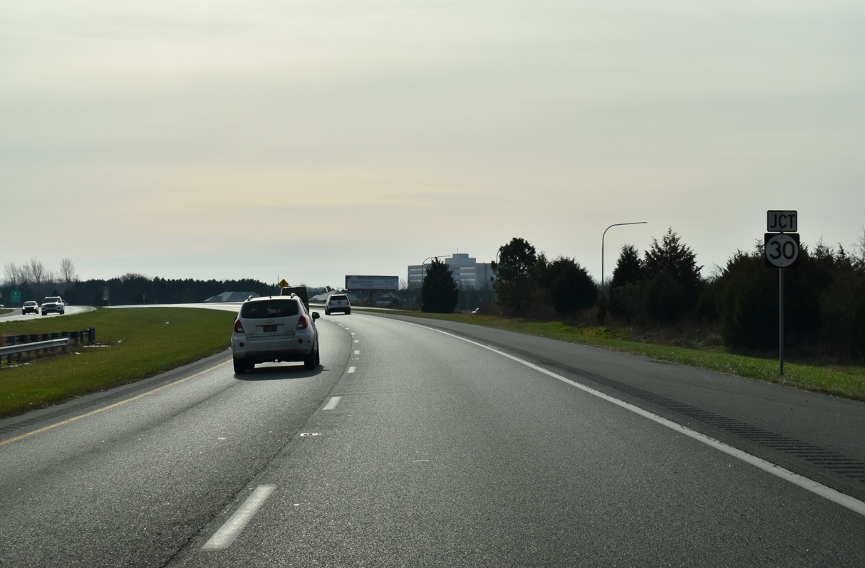
| SR 1 Business returns to SR 1 at a wye interchange with Rehoboth Boulevard. SR 30 extends Rehoboth Boulevard south to Cedar Branch Road. A junction SR 30 shield here alludes to the previous RIRO connection with Wilkins Road west. 12/19/20 |
|
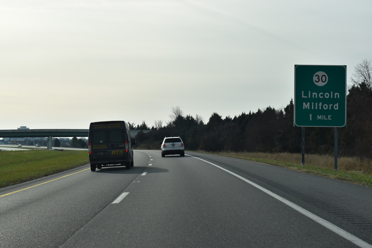
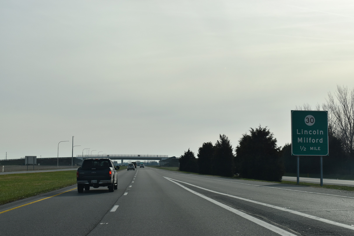
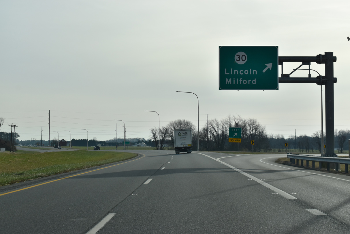
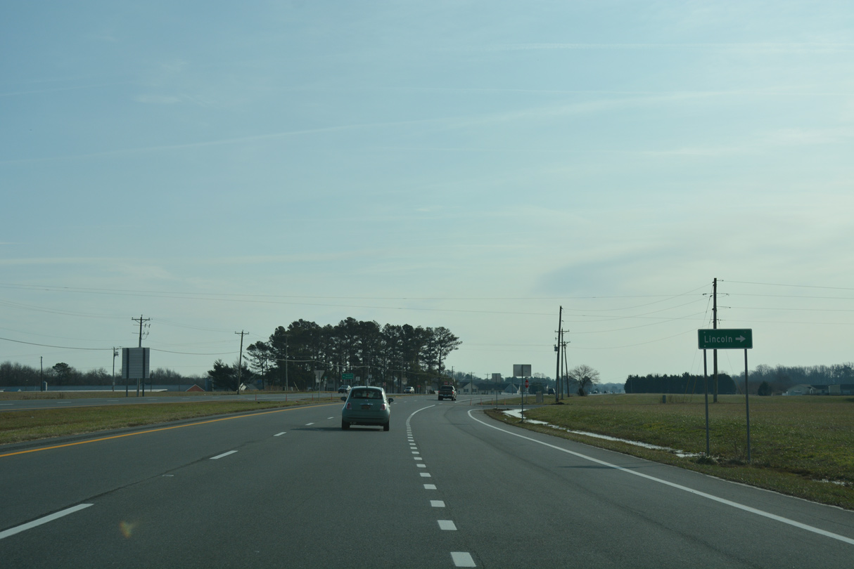
| SR 30 travels 45 miles overall from Milford to Millsboro, Gumboro and Bacons in southwest Sussex County. Wilkins and Johnson Roads both lead west from the parallel state route to the unincorporated town of Lincoln. 12/19/20 |
|
| Approaching the Wilkins Road overpass on SR 1 south. The grade separation project for SR 30 took place between December 2012 and July 2014. 12/19/20 |
|
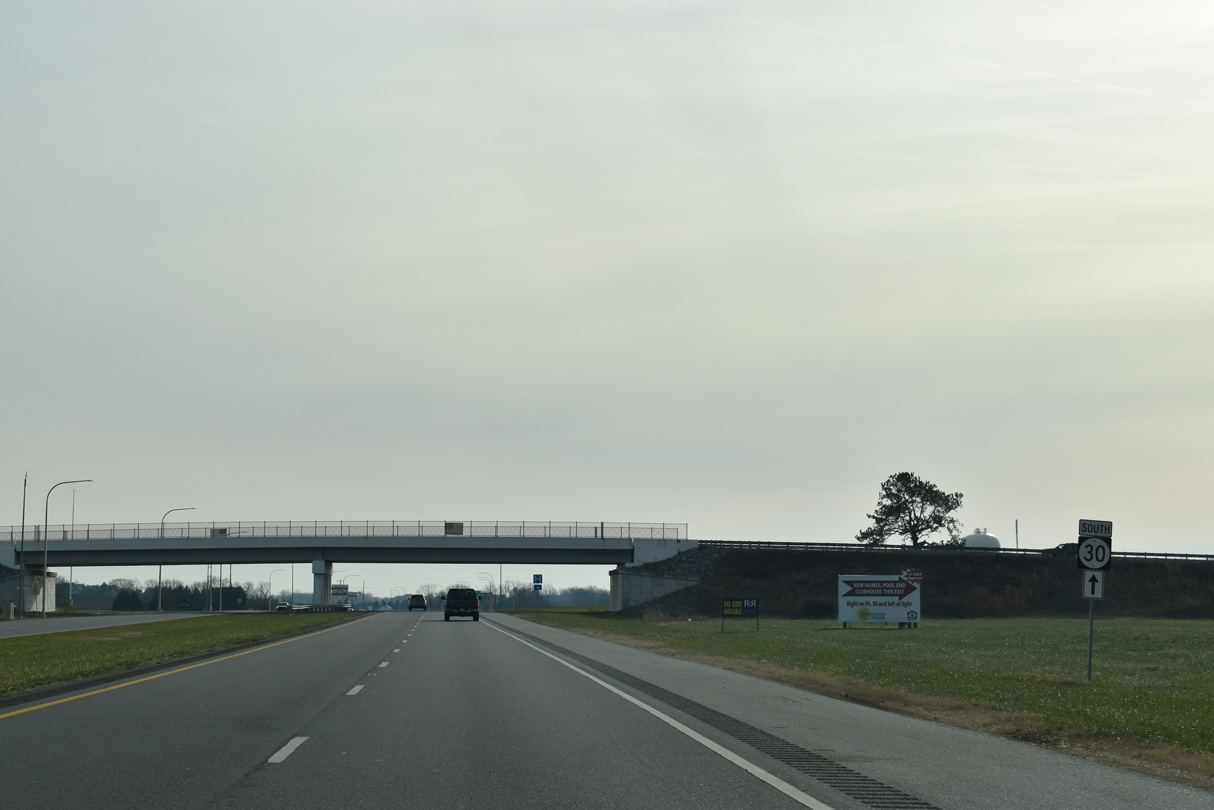
| The exit ramp from SR 1 (Coastal Highway) south to SR 30 (Cedar Creek Road) ties into the intersection with Wellness Way to the Bayhealth Sussex Campus. SR 30 originally ended at SR 1 directly, but was relocated to SR 1 Business by the early 2000s. 12/19/20 |
|
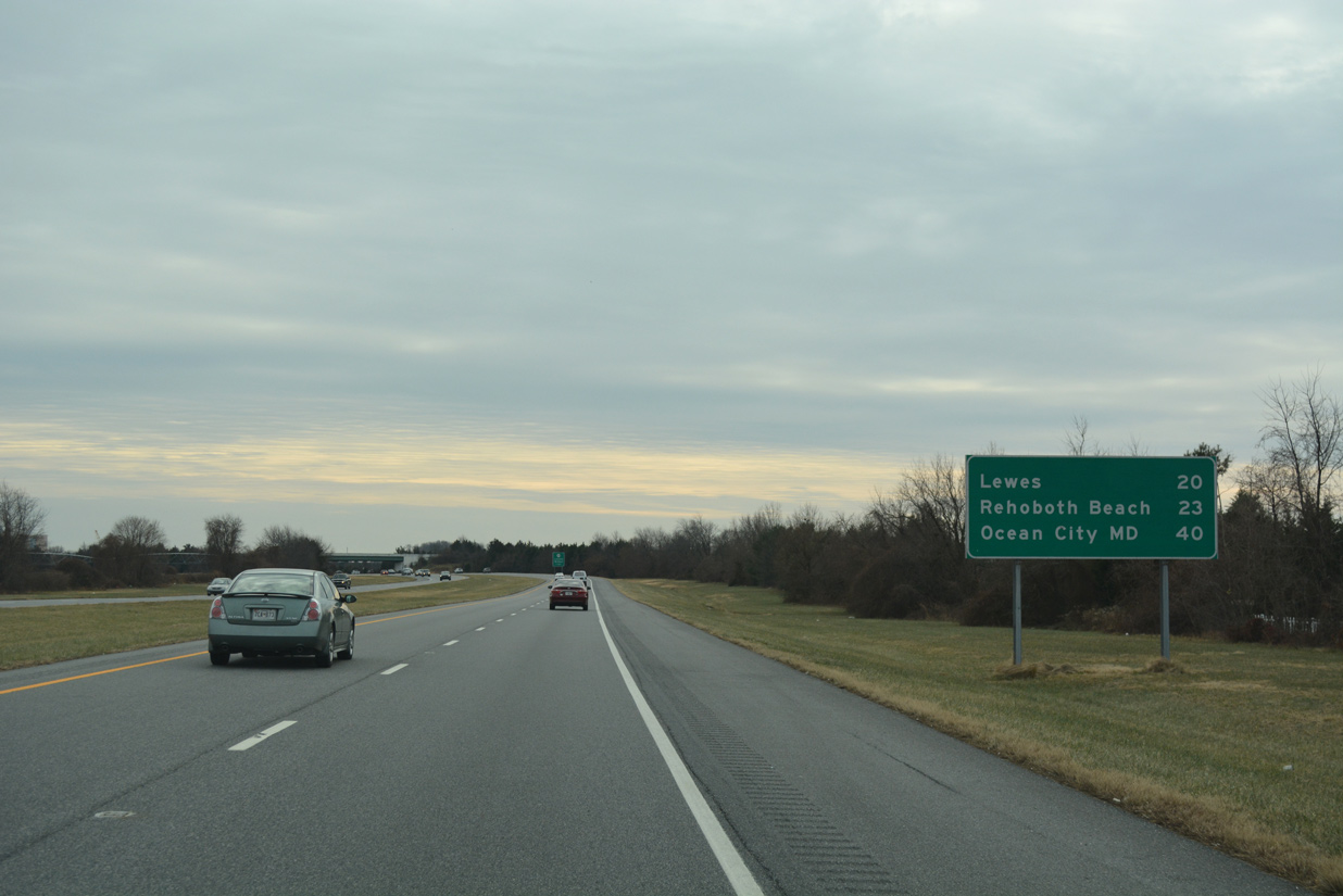
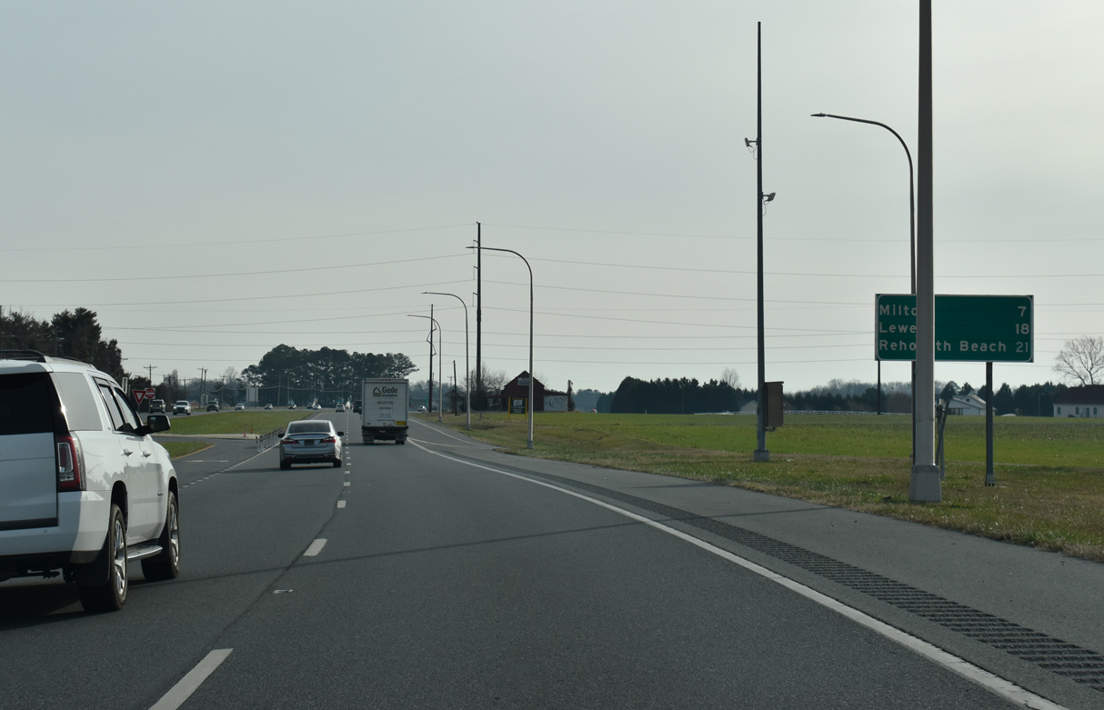
| A distance sign references Milton (via SR 5 south) and Lewes (via U.S. 9 Business) after the entrance ramp from SR 30. SR 1 reaches Rehoboth Beach in 21 miles. 12/19/20 |
|
| Thompson Road (Rd 207) ties into the west side of SR 1 as the old route of SR 30A west 0.74 miles to SR 30. 12/19/20 |
Page Updated 02-25-2021.


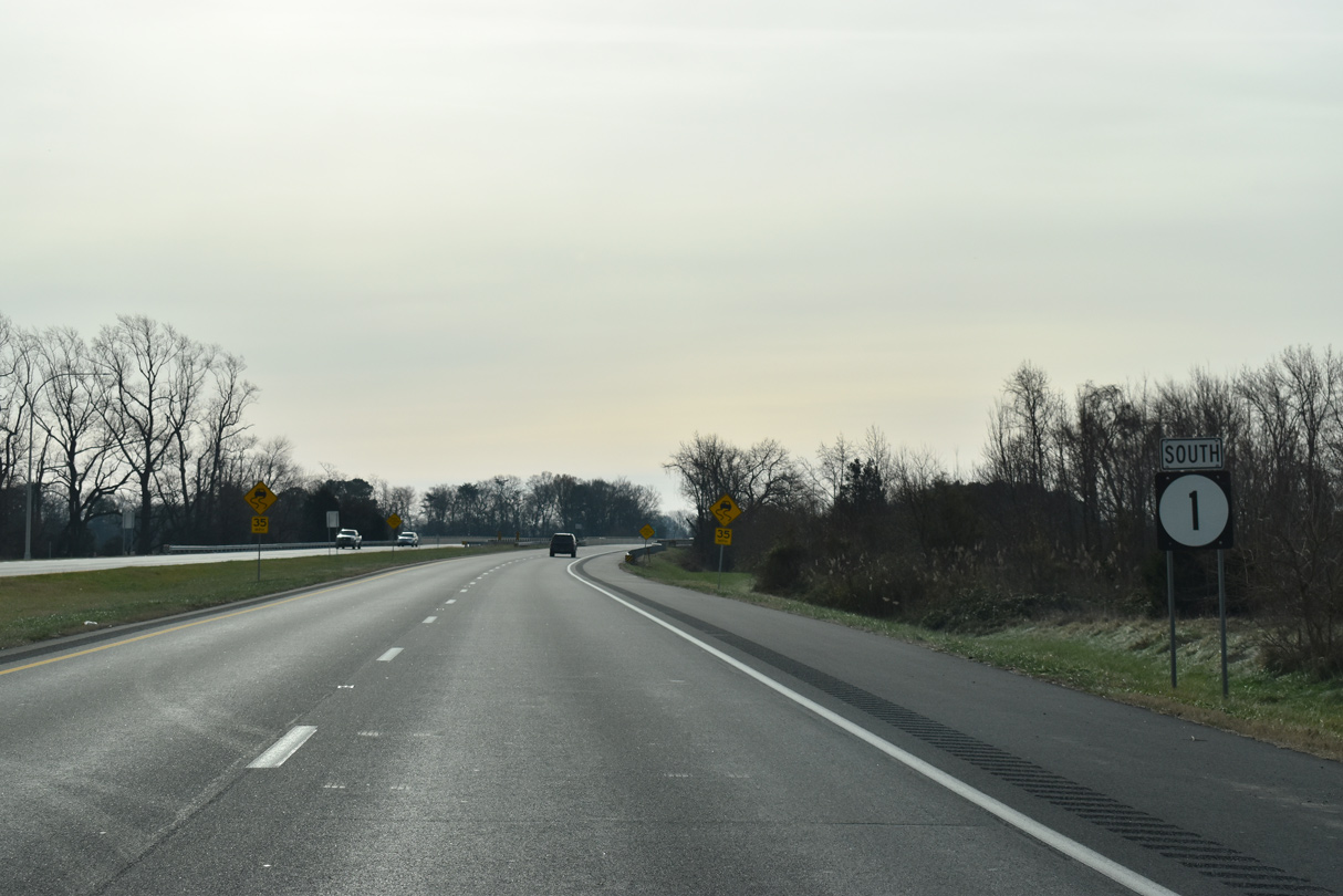
 South
South