|
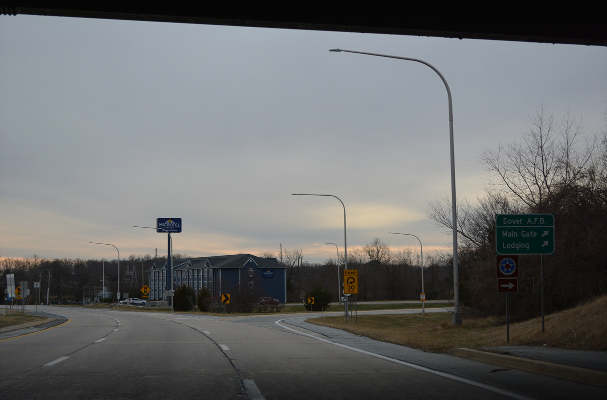
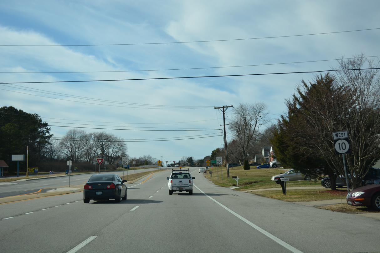
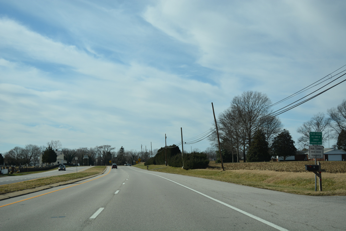
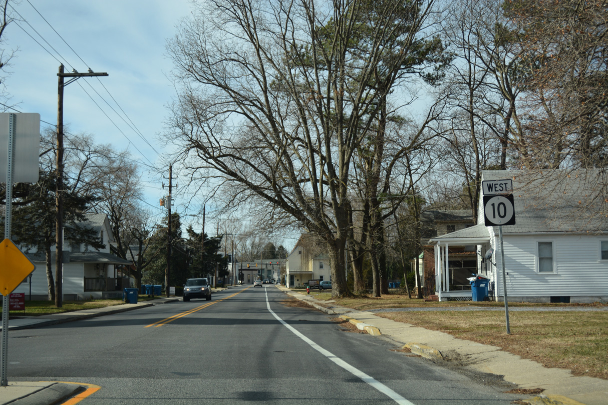
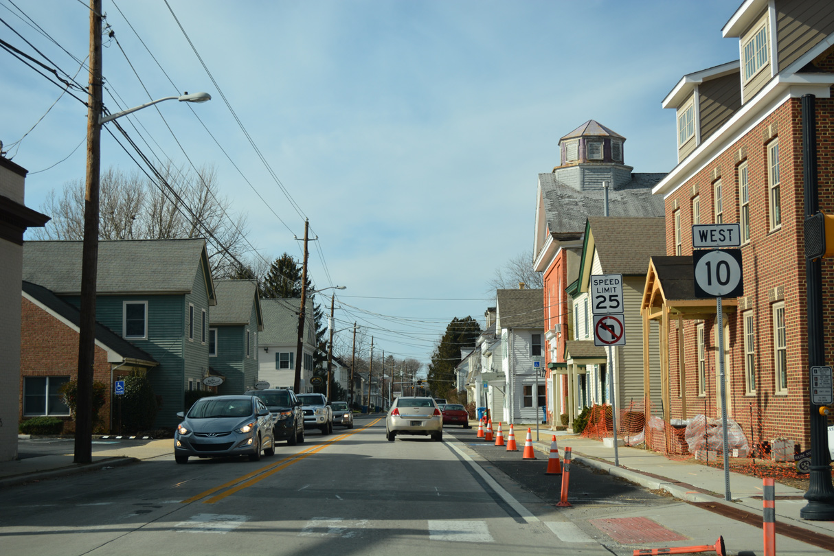
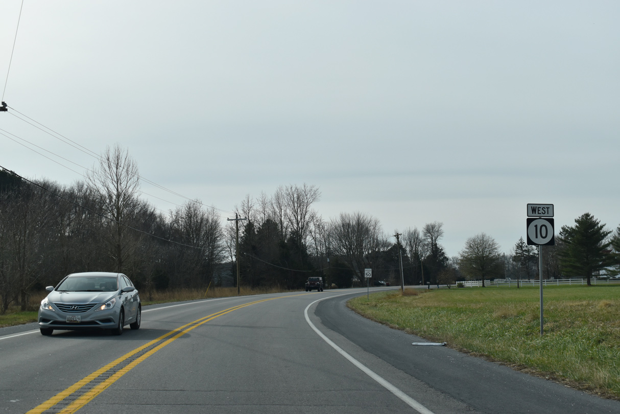
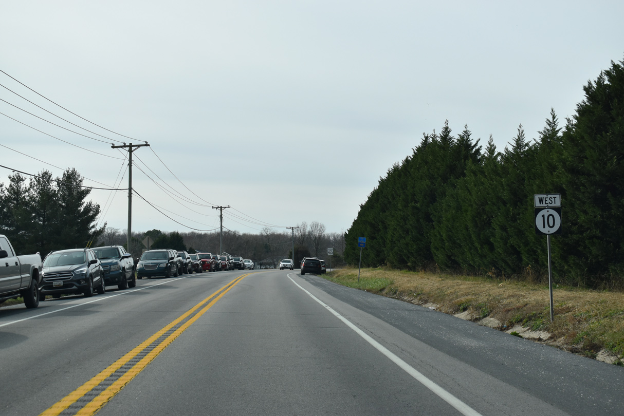
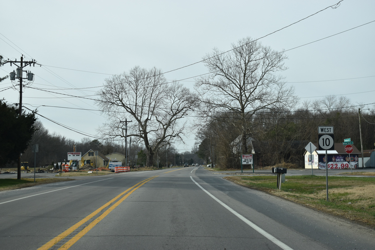
| SR 10 (Lebanon Road) west begins as Bay Road south ends at the North Gate to Dover Air Force Base. 12/26/22 |
|
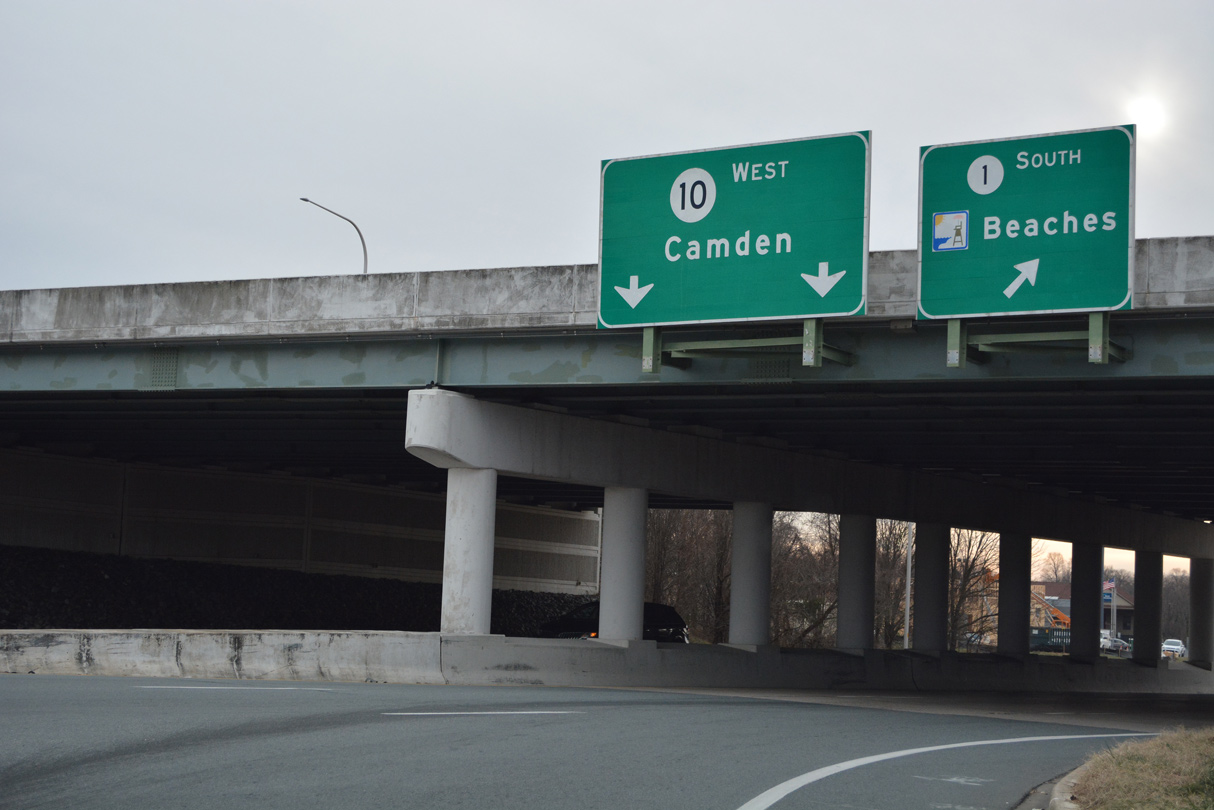
| A loop ramp connects the former U.S. 113 (Bay Road) via SR 10 west with SR 1 south to Milford and the Sussex County beaches. 12/26/22 |
|
| U.S. 113 was truncated south from SR 1 between Dover and Milford in 2004. 12/26/22 |
|
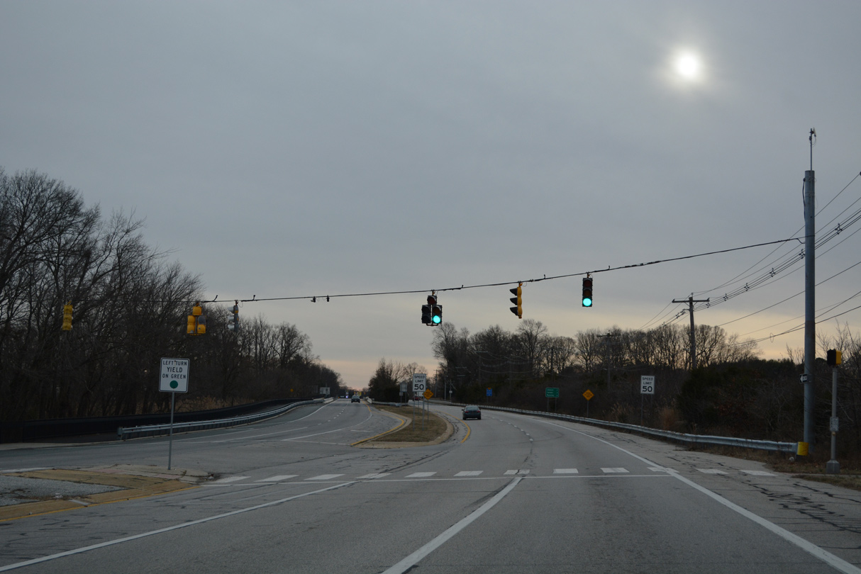
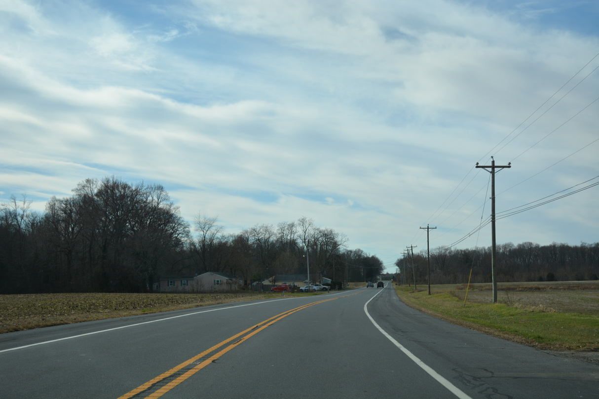
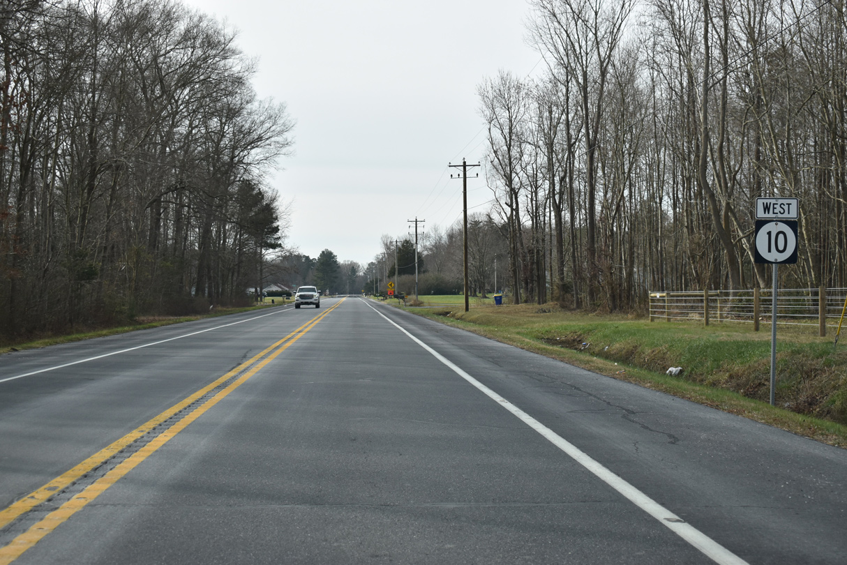
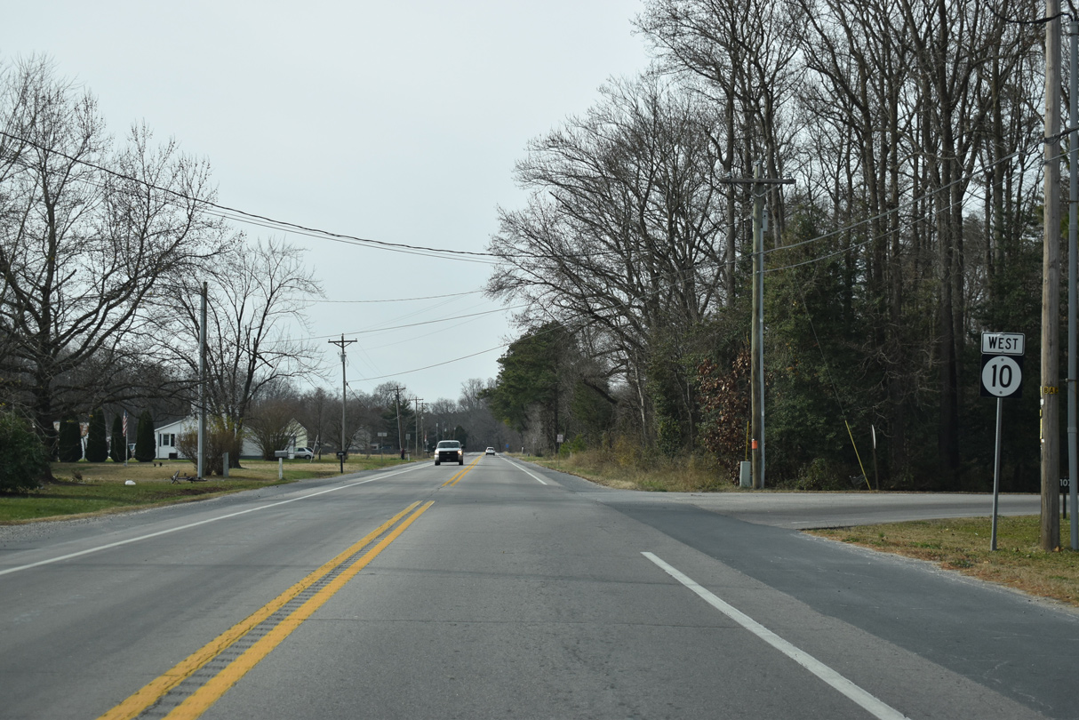
| SR 10 along Lebanon Road constitutes a four lane arterial west from SR 1 to U.S. 13. 12/26/22 |
|
| Prior to the opening of the Puncheon Run Connector in 2001, SR 10 represented the main route between SR 1 and U.S. 13 south to Salisbury. 12/26/22 |
|
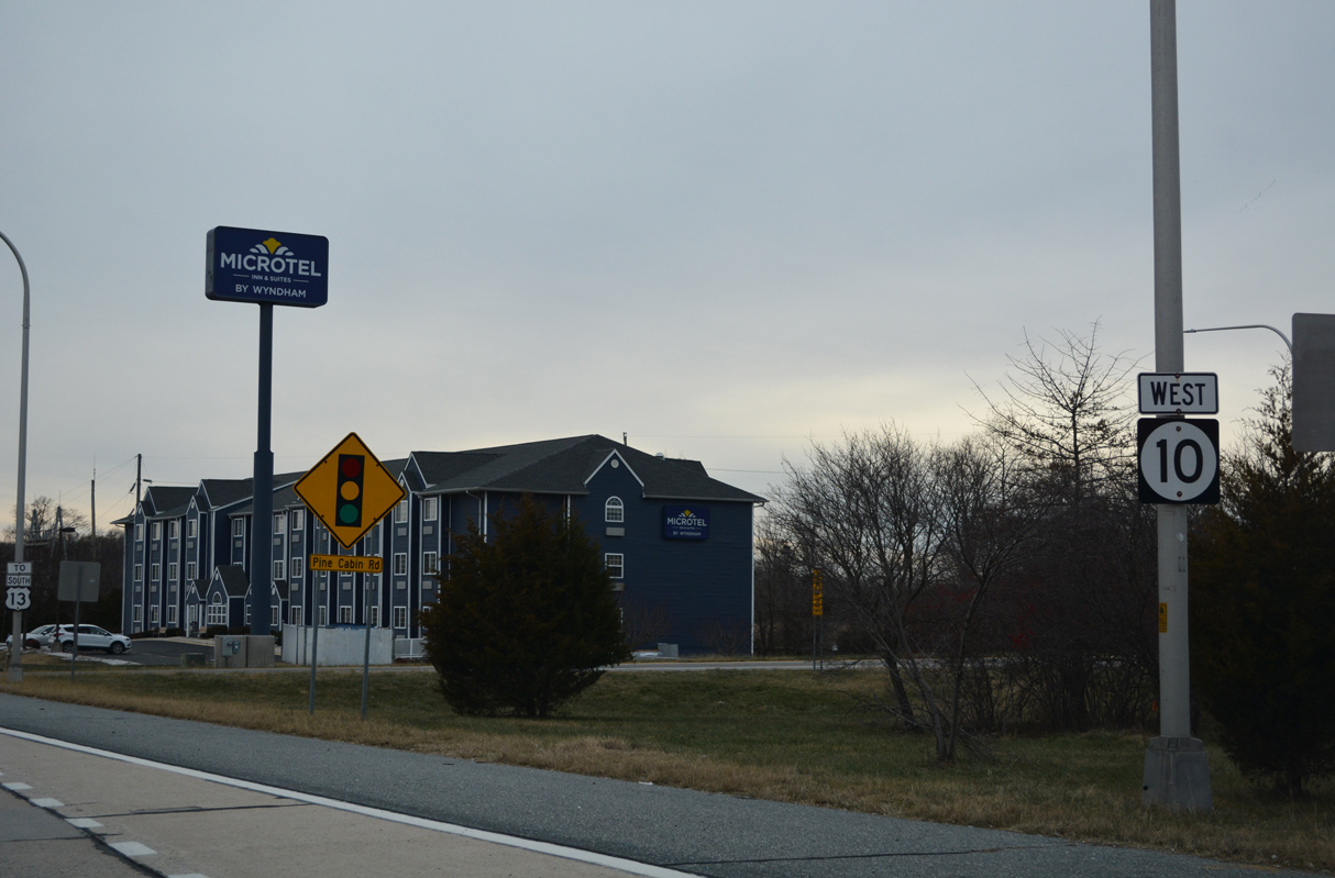
| Pine Cabin Road connects Lebanon Road with adjacent businesses and the Generals Greene community. 12/26/22 |
|
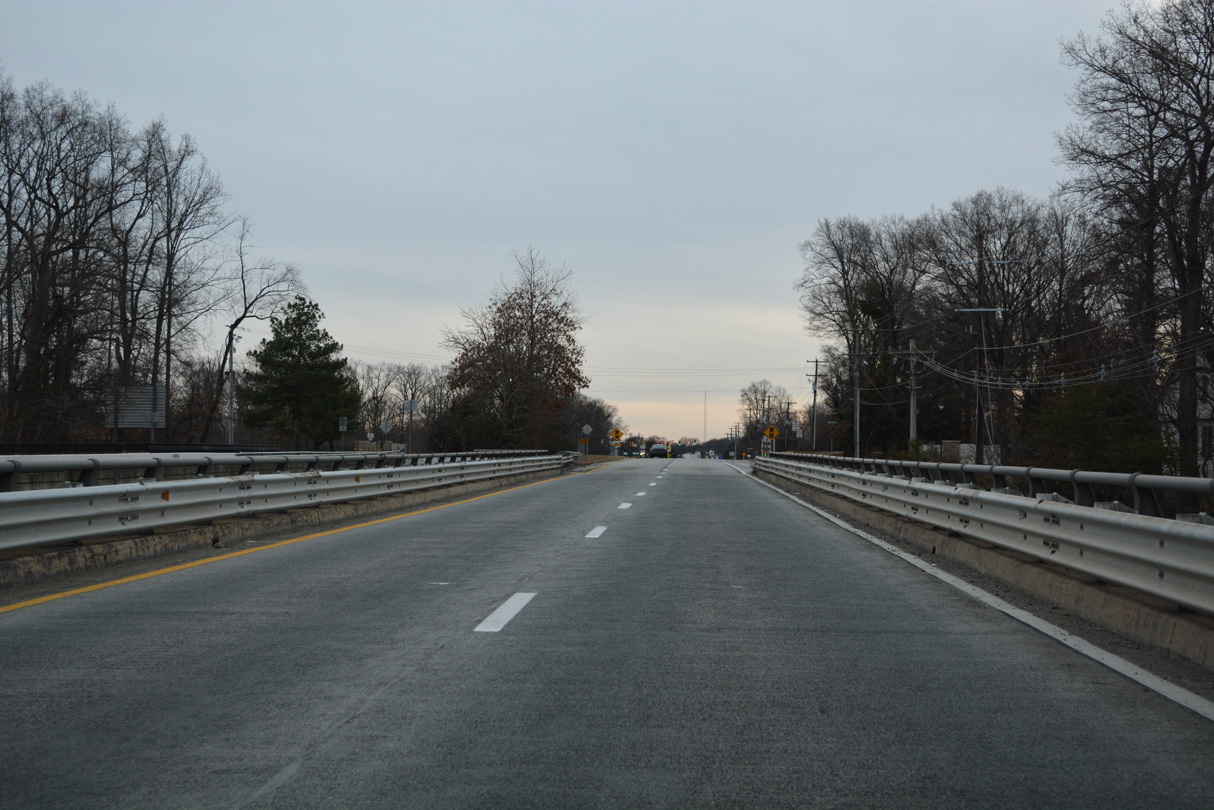
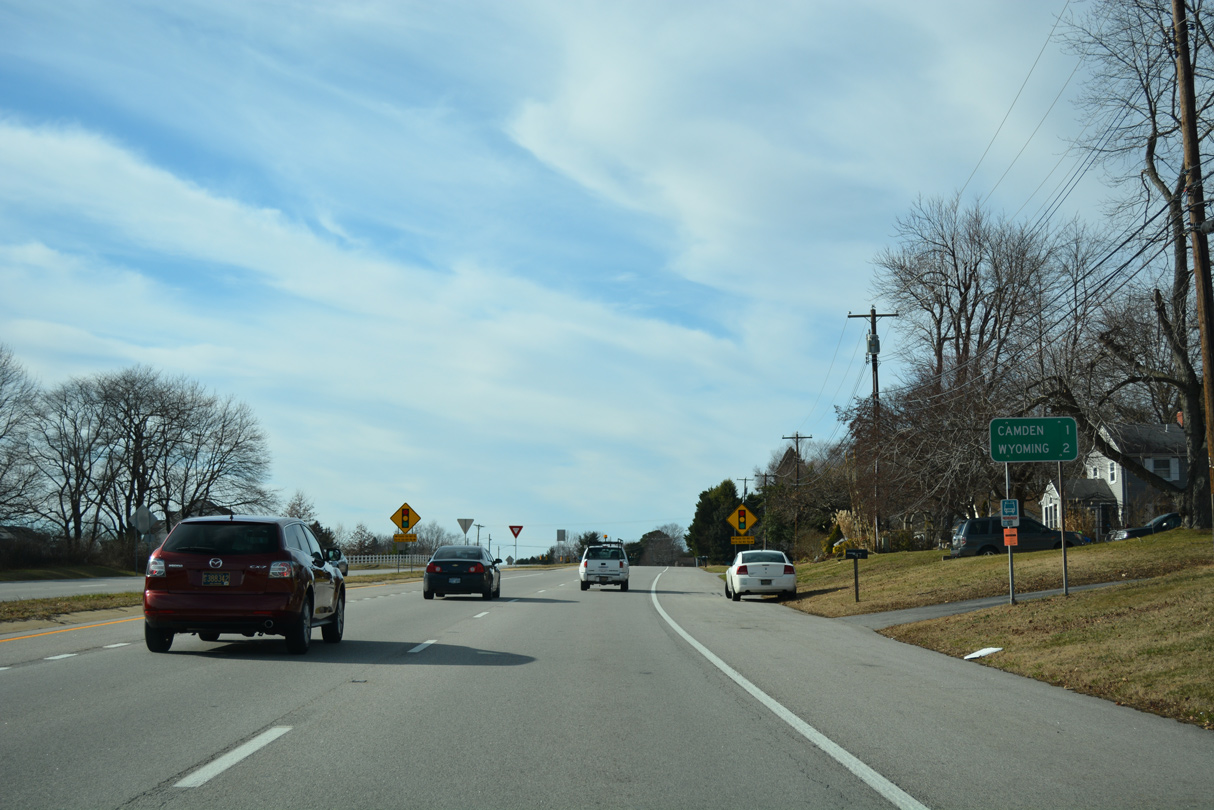
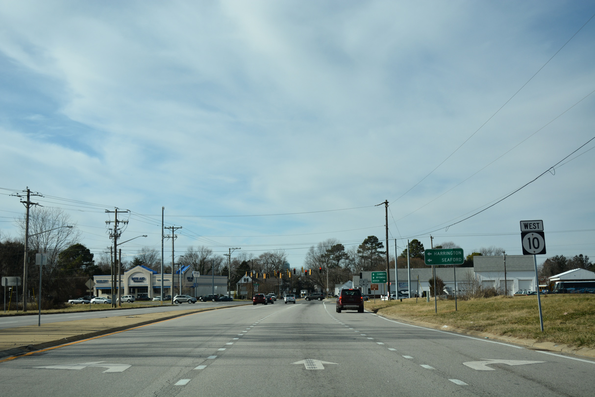
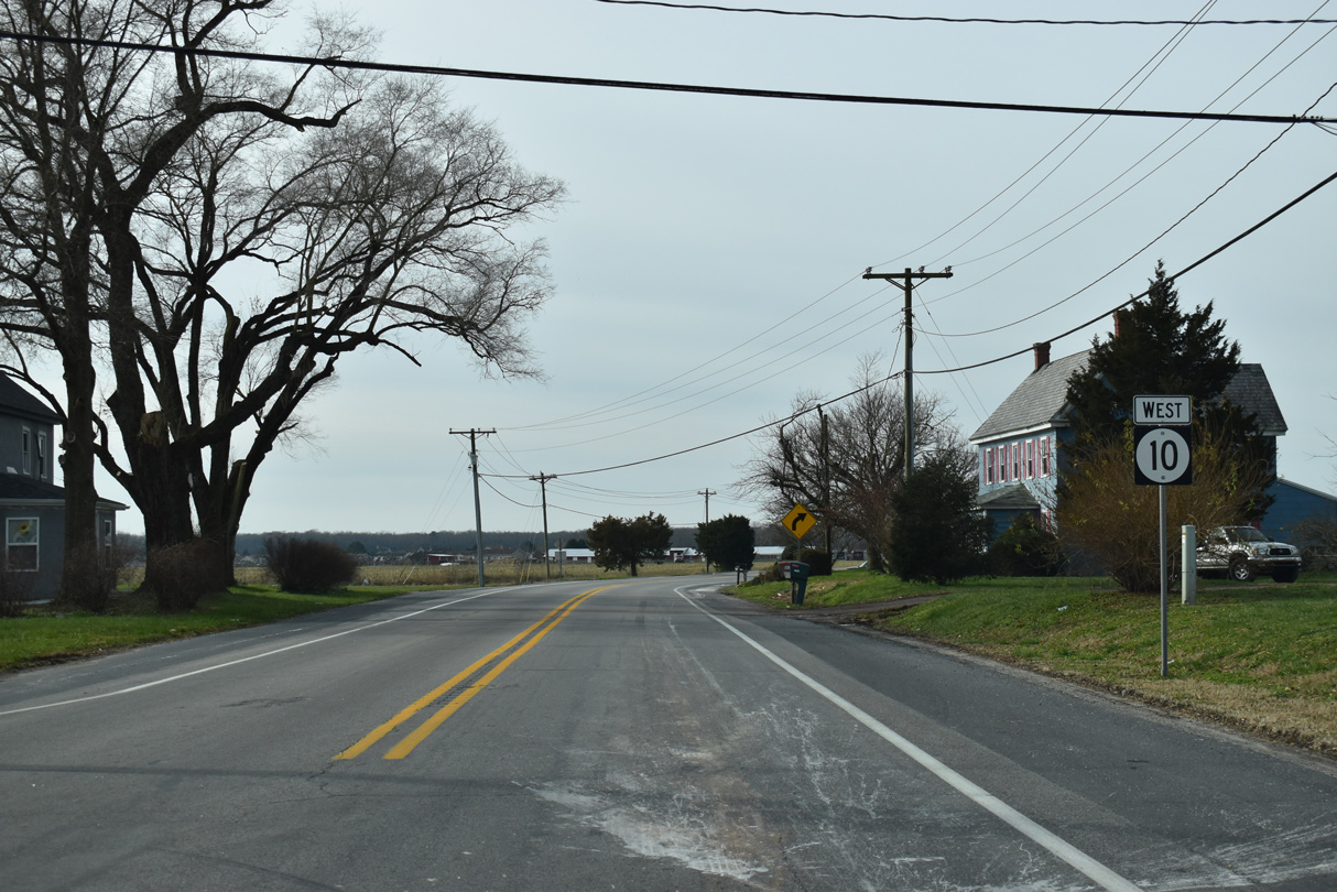
| SR 10 proceeds southwest to cross the St. Jones River ahead of Lebanon. The towns of Camden and Wyoming lie three and four miles ahead respectively. 12/26/22 |
|
| Gateway South Shopping Center lies along the south side of SR 10 between Lebanon Road and the Hunn Conservation Area along Tidbury Creek. 12/26/22 |
|
| Sorghum Mill Road (Road 356A) loops south from SR 10 to the communities of Lebanon and Rising Sun. Sorghum Mill Road south across Tidbury Creek also represents the former alignment of Lebanon Road. Lebanon Road east across the St. Jones River was abandoned, and the portion east to Bay Road is now a part of the DAFB Housing Area access road. 12/26/22 |
|
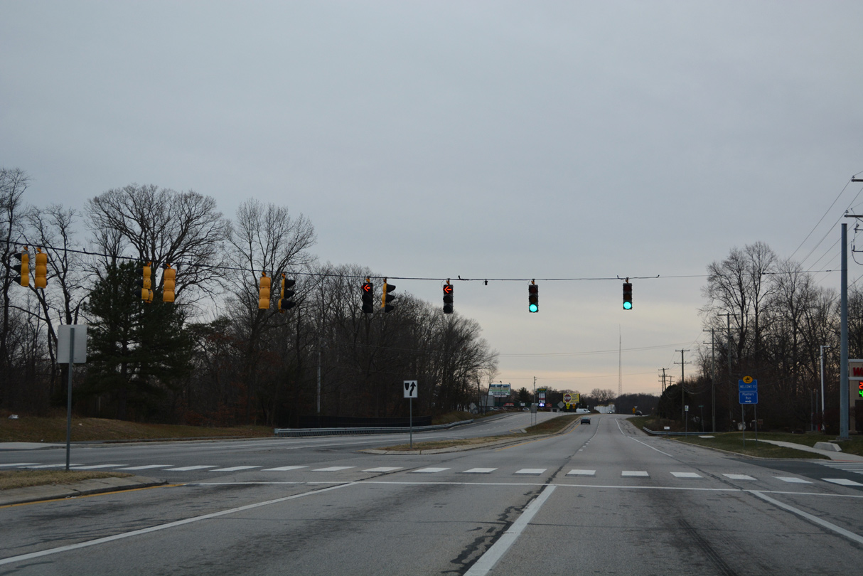
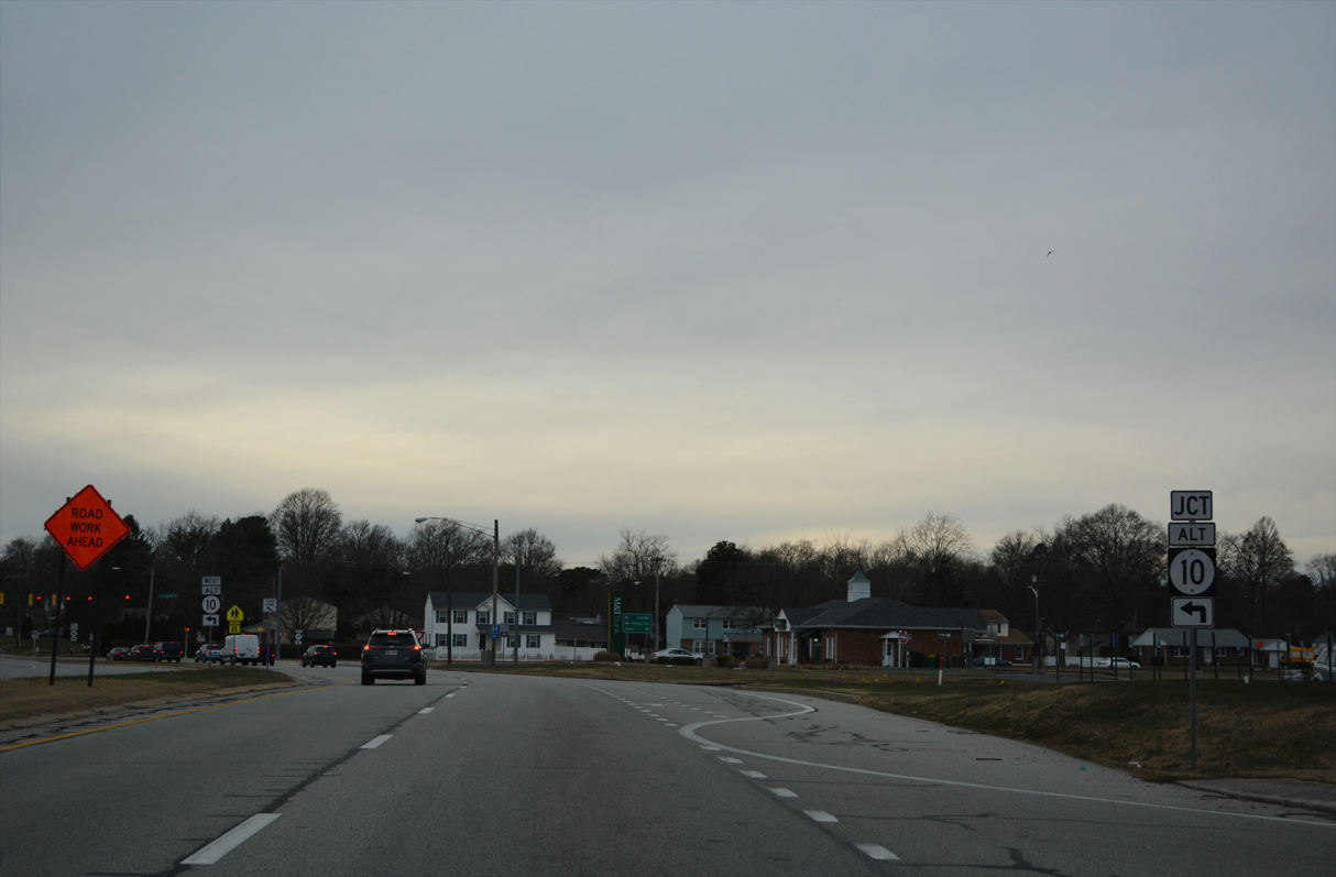
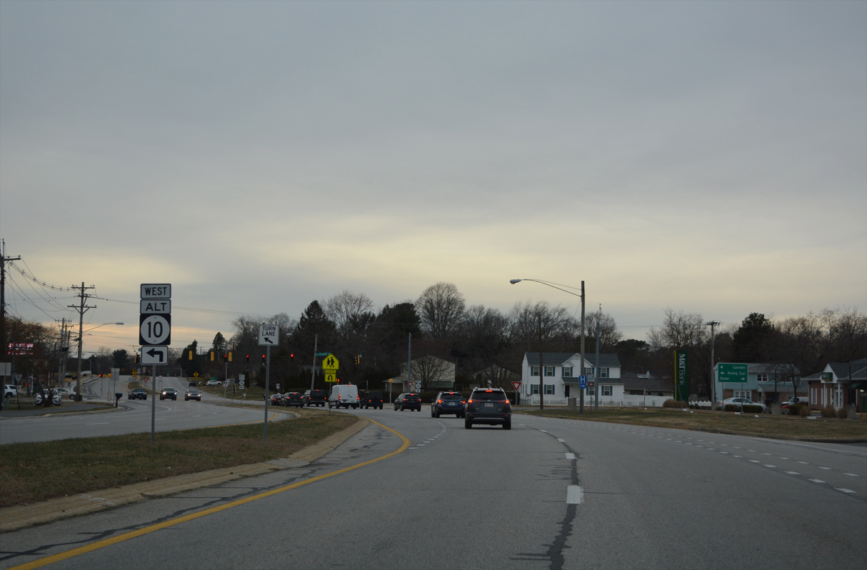
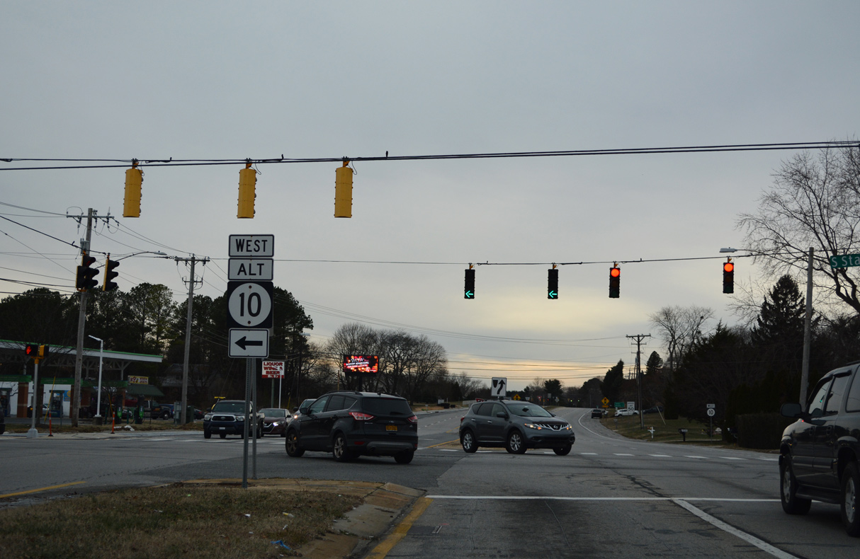
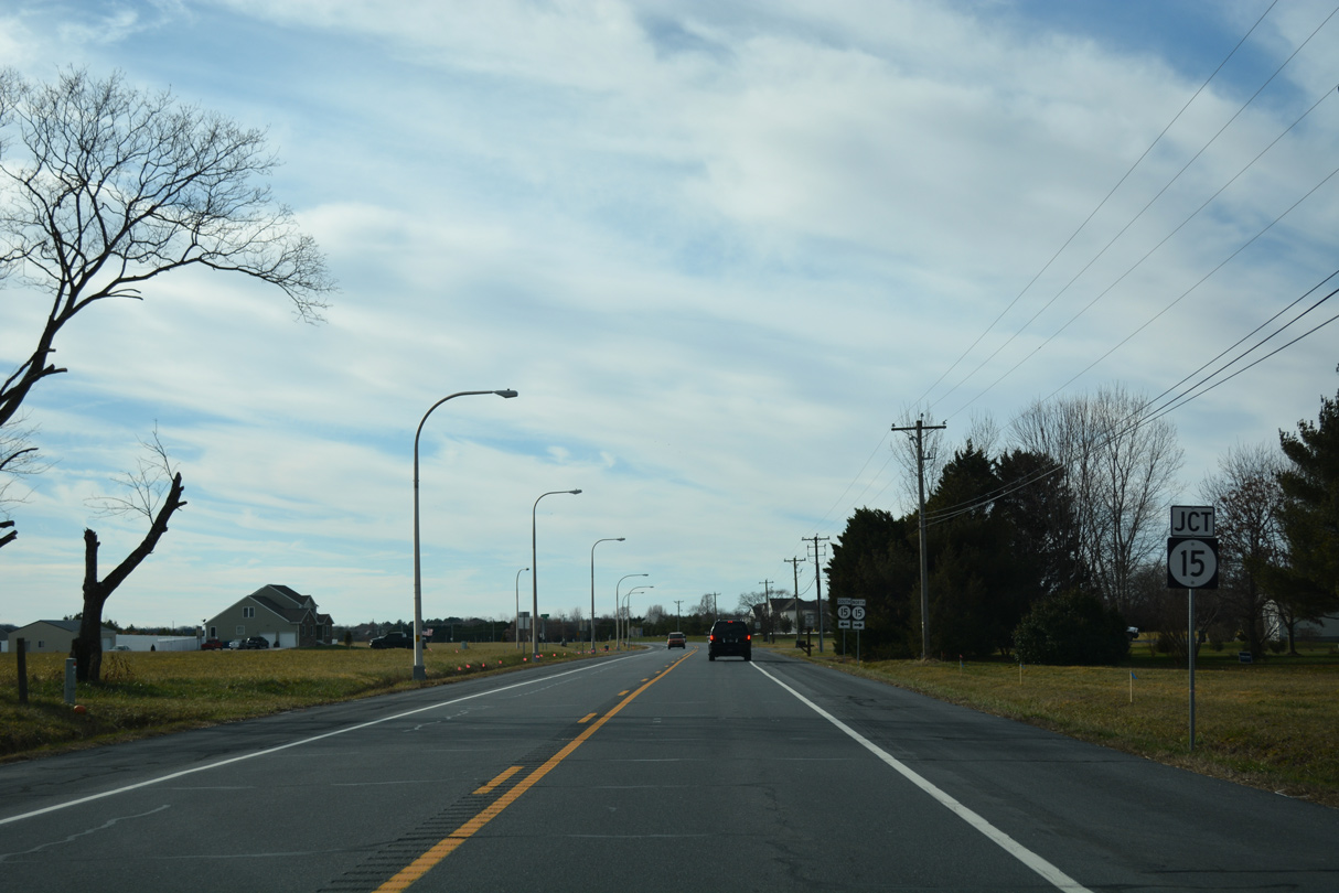
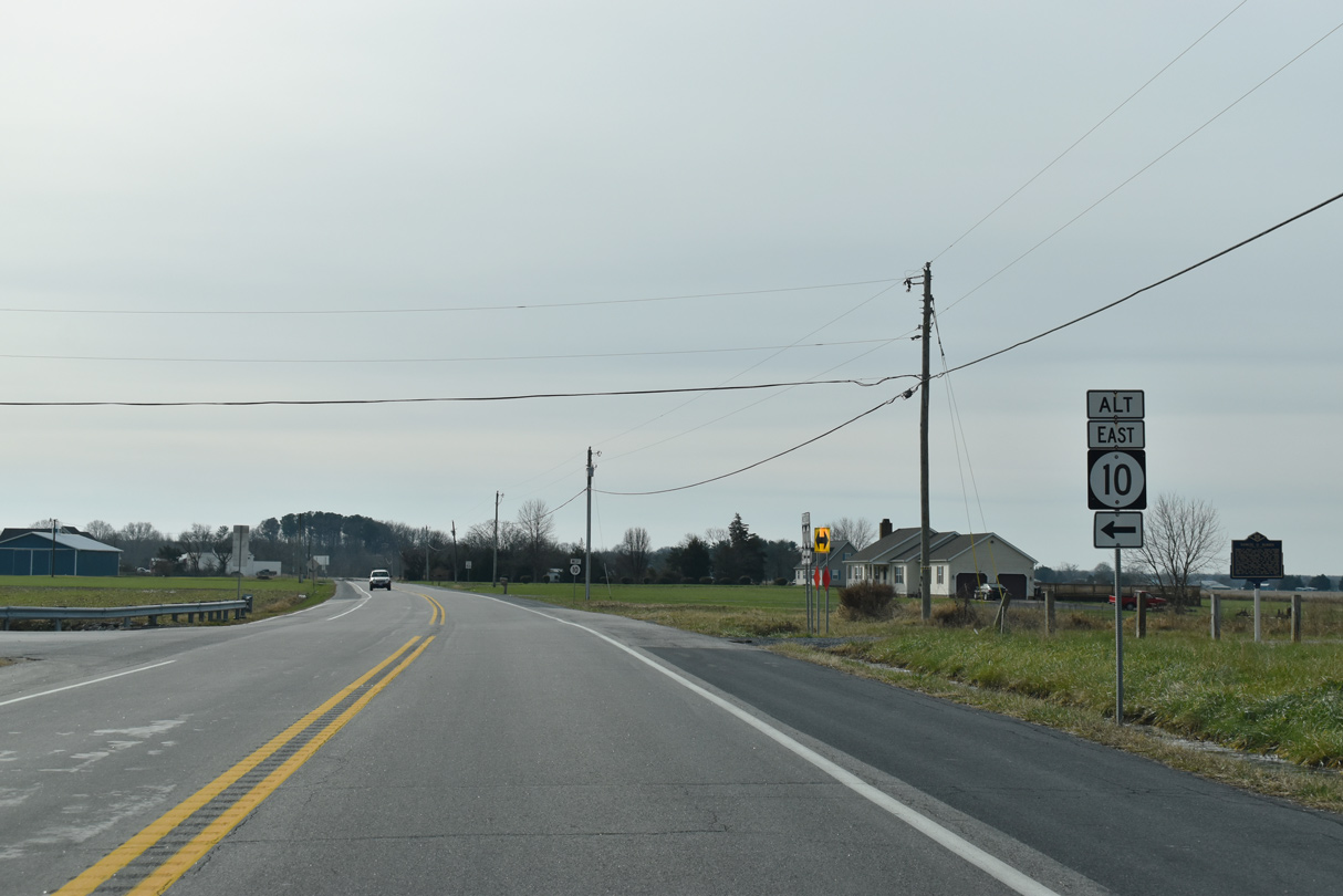
| Curving west by the Grand Oaks subdivision, the succeeding traffic light along SR 10 is with SR 10 Alternate at S State Street. 12/26/22 |
|
| Prior to 2004, State Street was a part of U.S. 113 Alternate south to Rising Sun and Magnolia and north to Downtown Dover. 12/26/22 |
|
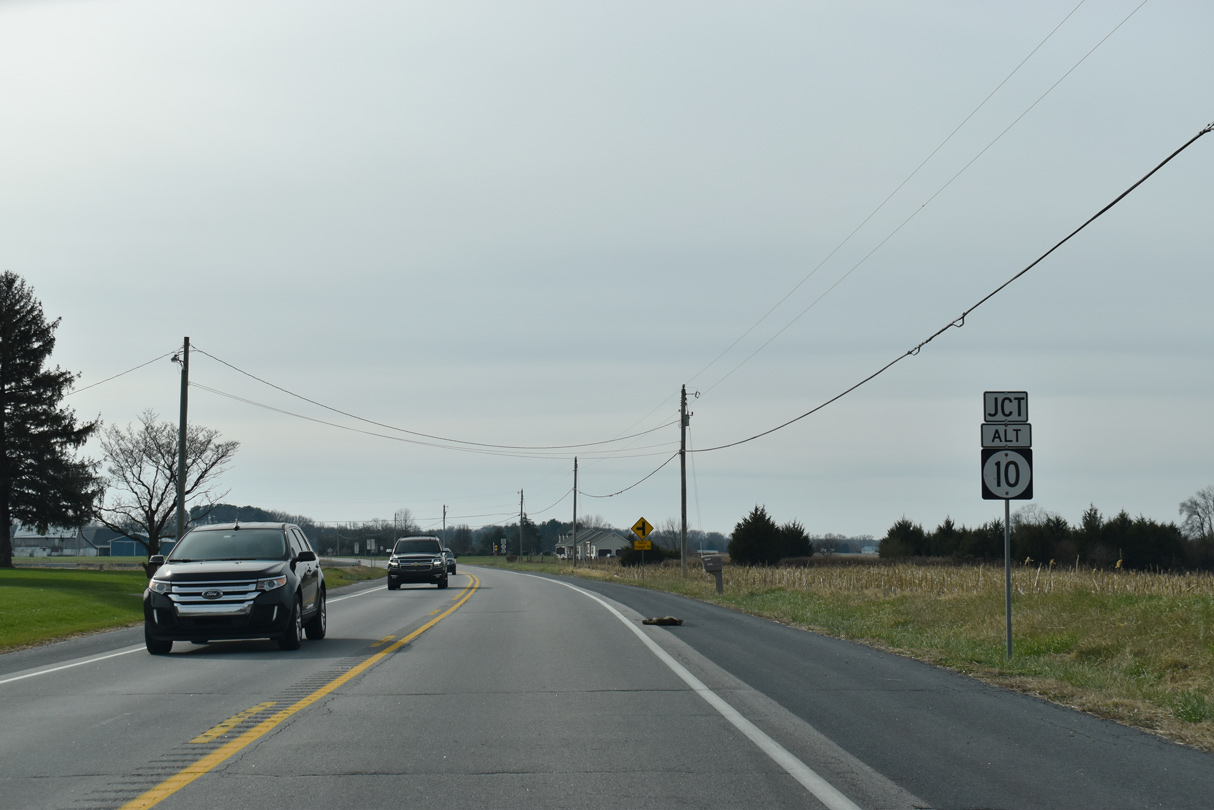
| SR 10 Alt provides a bypass of Camden and Wyoming for travelers headed west along SR 10 to Caroline County, Maryland. The state route is marginally posted southwest through Rising Sun and Woodside. 12/26/22 |
|
| SR 10 ALT constitutes a 9.23 mile long loop south from SR 10 to Rising Sun and Woodside. 12/26/22 |
|
| SR 10 (Lebanon Road) advances west between the Greenview, Shady Lane and Fairfield Farms manufactured home communities to the north and the Stone Ridge and Royal Grant subdivisions to the south. 12/31/16 |
|
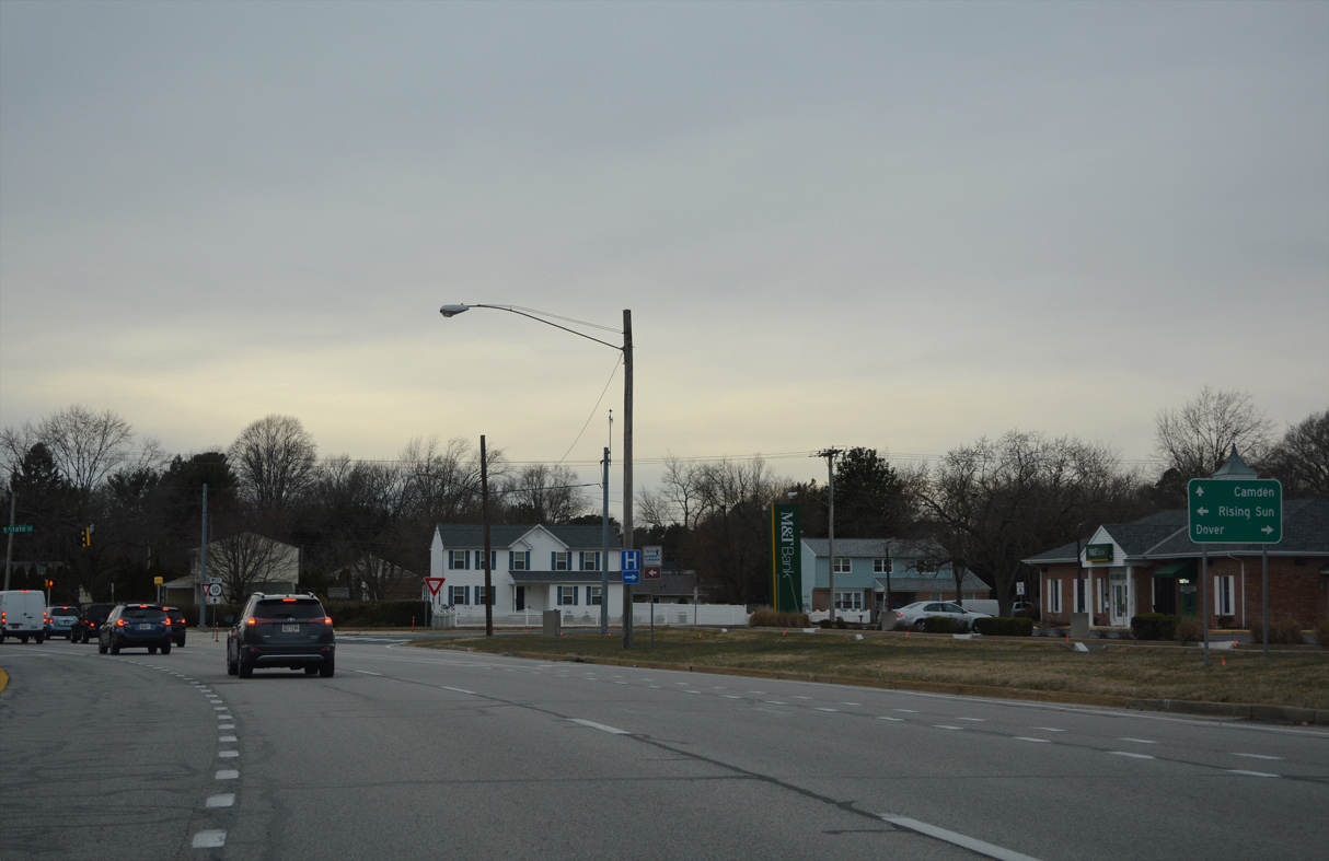
| SR 10 reaches the Camden town center in one mile. The Wyoming town center follows in another mile, beyond the southward turn of SR 10 onto Caesar Rodney Avenue. 12/31/16 |
|
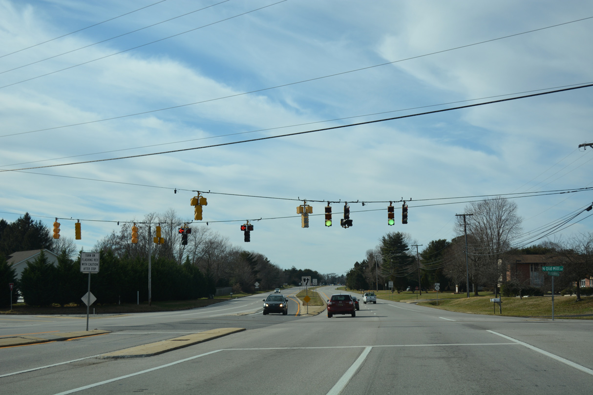
| Old Mill Road angles across SR 10 at the succeeding westbound signal. Old Mill Road north provides a cutoff to S State Street. Southward the road passes through residential areas to Rising Sun Road (old SR 10) at the Stonegate subdivision. 12/31/16 |
|
| Continuing west, Lebanon Road passes between the Meadow Glen and Royal Grant subdivisions to overtake Rising Sun Road from the southeast. 12/31/16 |
|
| The Camden town line spreads northeast alongside Lebanon Road from U.S. 13 to Glades Drive. 12/31/16 |
|
| Forthcoming U.S. 13 (Dupont Highway) constitutes a commercial arterial south from Dover to south Camden. 12/31/16 |
|
| Rising Sun Road ties into SR 10 just ahead of U.S. 13 (Dupont Highway). The road southeast to S State Street was the original alignment of SR 10. 12/31/16 |
|
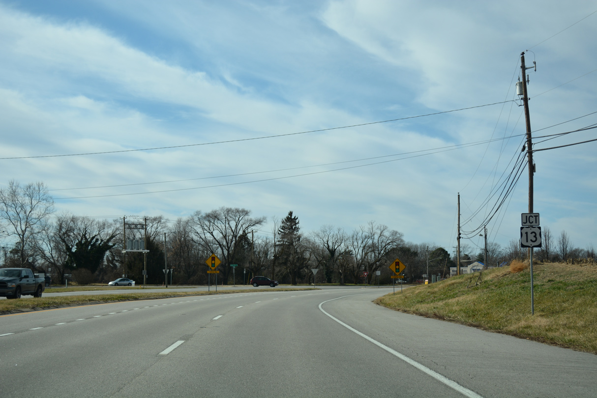
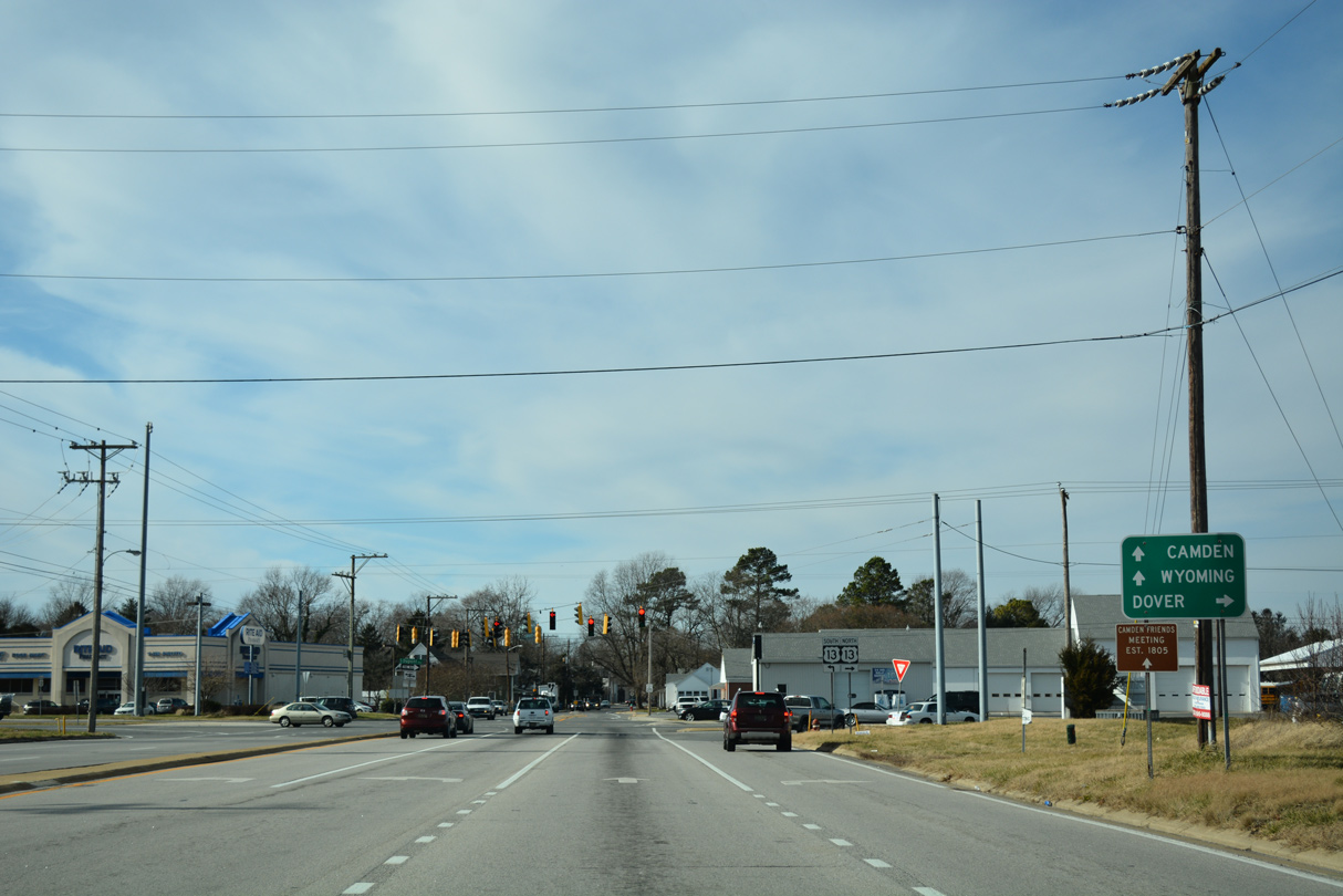
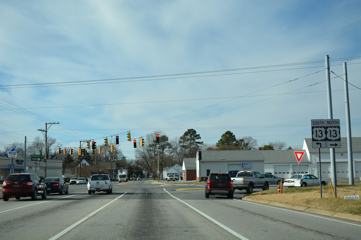
| SR 10 and U.S. 13 converge 3.8 miles south of Downtown Dover and two tenths of a mile ahead of the Camden town center. 12/31/16 |
|
| U.S. 13 (Dupont Highway) travels the height of Delaware, from Delmar and Seaford to the south to Dover, Smyrna and Wilmington to the north. 12/31/16 |
|
| SR 10 narrows to two lanes along Camden Wyoming Road west from Dupont Highway. 12/31/16 |
|
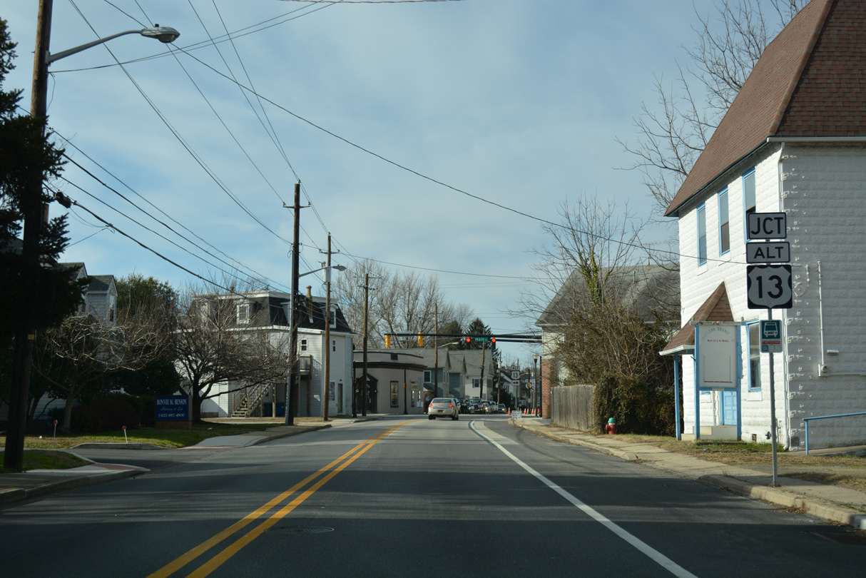
| Camden Wyoming Avenue takes SR 10 west across Camden to the junction with U.S. 13 Alternate (Main Street). 12/31/16 |
|
| U.S. 13 Alternate (Main Street) represents the original route of U.S. 13 north from Camden to Brecknock County Park by Isaac Branch and south to the town of Woodside and Canterbury. 12/31/16 |
|
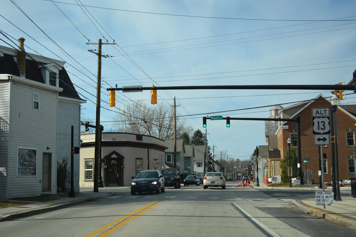
| Continuing west, SR 10 remains narrow along Camden Wyoming Avenue to West Street. 12/31/16 |
|
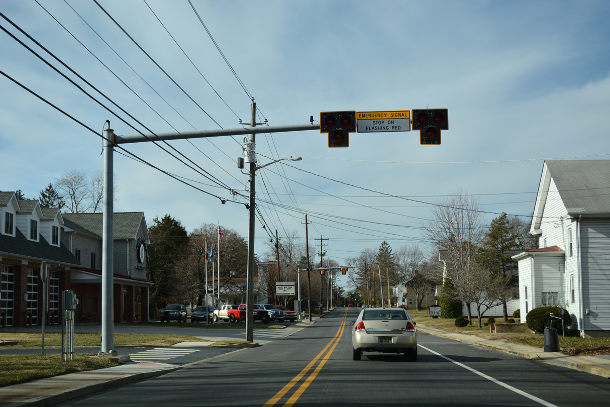
| HAWK style emergency signals for the Camden Wyoming Fire Company Station Number 41 on SR 10 by West Street. These signal heads are commonly used for fire stations throughout central and southern Delaware. 12/31/16 |
|
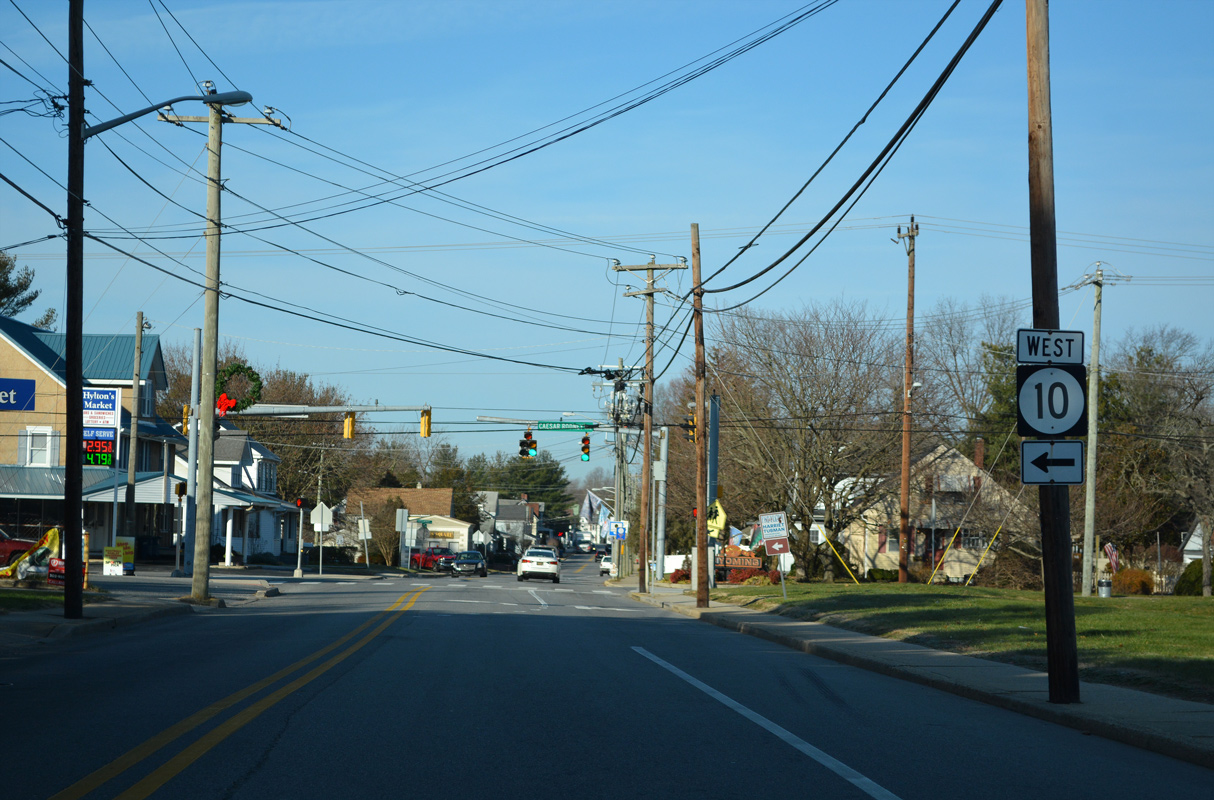
| Westbound SR 10 shifts southward from Camden-Wyoming Avenue onto Caesar Rodney Avenue. 12/21/22 |
|
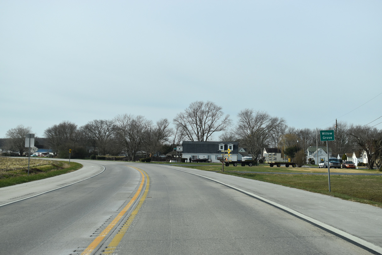
| Caesar Rodney Avenue (SR 10) runs along the Camden and Wyoming corporate limits southward onto Willow Grove Road. 12/31/16 |
|
| Willow Grove Road transitions into a rural area west of the Norfolk Southern Railroad crossing. Annexations extend the Wyoming town limits alongside SR 10 west toward to the woods surrounding Red House Branch. 12/31/16 |
|
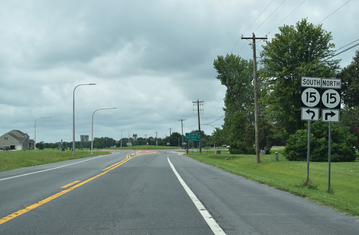
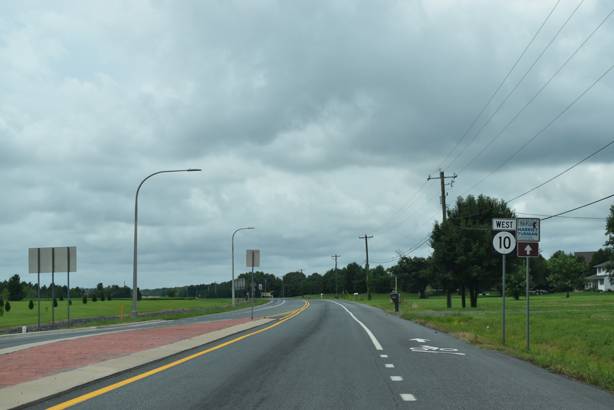
| SR 10/15 converge 1.02 miles southwest of the Camden town limits. 12/31/16 |
|
| Started June 5, 2017, a 124 day construction project replaced the at-grade intersection between the two routes with a roundabout.1 08/17/21 |
|
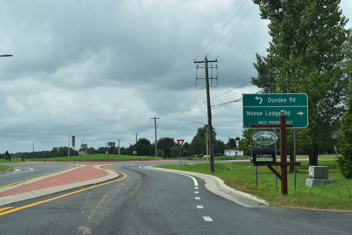
| Dundee Road takes SR 15 south 1.73 miles to SR 10 Alternate (Main Street) in the rural town of Woodside. 08/17/21 |
|
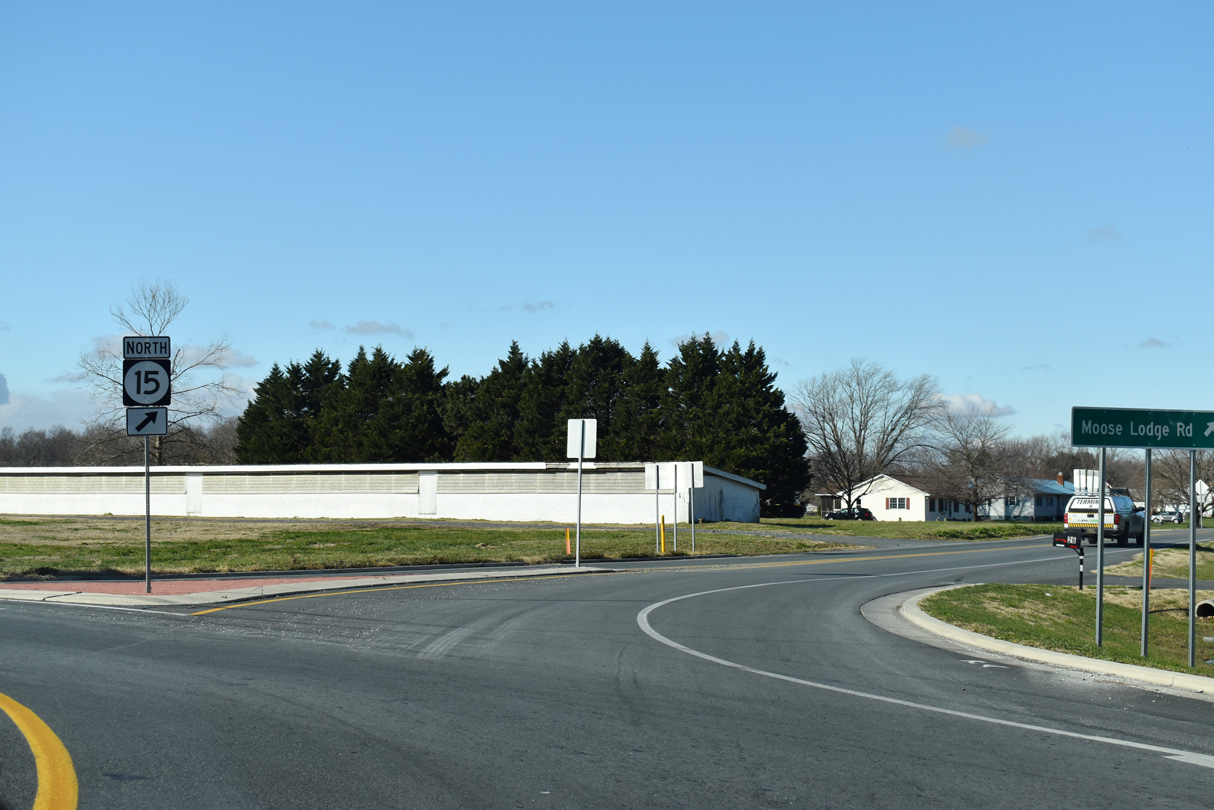
| Moose Lodge Road leads SR 15 north 1.61 miles to Westville Road (Rd 52) and Wyoming. 12/18/20 |
|
| The Ponds at Willow Grove and the Hampton Hills subdivisions occupy former farm land to the immediate west of SR 15. 08/17/21 |
|
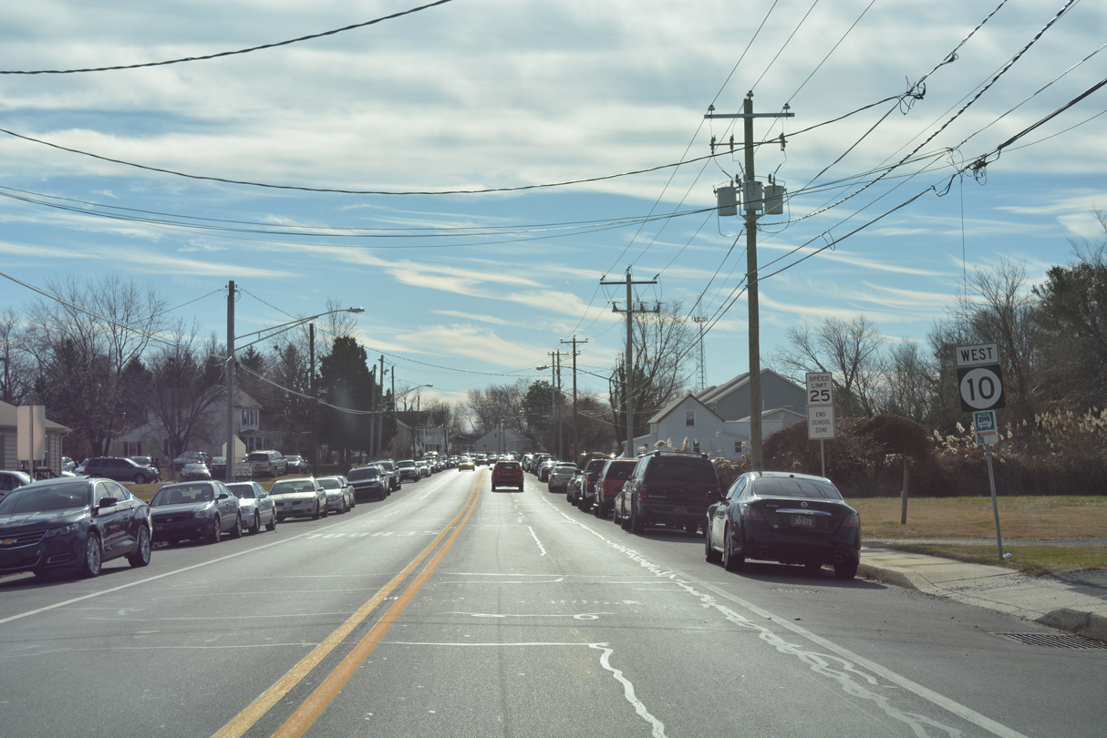
| SR 10 passes the last of the suburban areas west of Wyoming and Camden after Steeles Ridge Road (Rd 232) south and Thicket Road (Rd 232) north. 12/19/20 |
|
| Reassurance marker posted for SR 10 (Willow Grove Road) west of Morgans Choice Road (Rd 230) north. 12/19/20 |
|
| Farm Lane (Rd 235) meanders 2.81 miles north from Kersey Road outside the town of Viola to intersect SR 10 ahead of this shield assembly. 12/19/20 |
|
| SR 10 makes an S-curve west into the community of Willow Grove. Mud Mill Road (Rd 207) branches west from the state route here to Mahan. 12/19/20 |
|
| SR 10 (Willow Grove Road) angles southwest from Willow Tree Circle (Rd 228A) and Willow Grove. 12/19/20 |
|
| SR 10 (Willow Grove Road) next intersects SR 10 Alternate (Henry Cowgill Road) east to Woodside. 12/19/20 |
|
| SR 10 Alt (Henry Cowgill Road) concludes a 9.23 mile route from near Lebanon in an agricultural area by Norman G. Wilder Wildlife Area. 12/19/20 |
|
| Henry Cowgill Road is a lightly traveled route east to the SR 10 Alt overlap with SR 15 along Main Street in Woodside. 12/19/20 |
|
| Confirming marker for SR 10 (Willow Grove Road) west after SR 10 ALT and a track of Norman G. Wilder Wildlife Area. 12/19/20 |
|
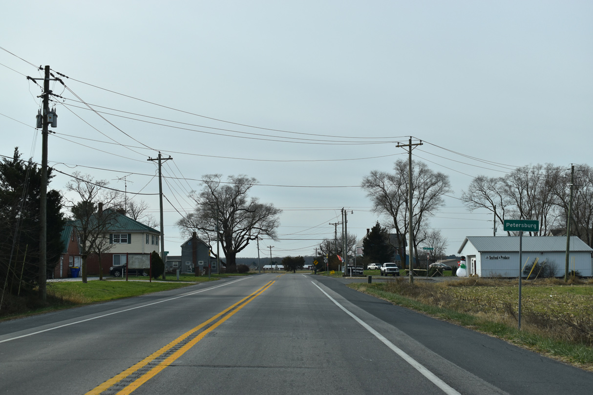
| Firetower Road north and Cow Marsh Creek Road south converge with SR 10 at a staggered intersection in the community of Petersburg. 12/19/20 |
|
| Curving west toward Petersburg along SR 10 after Fivefoot Prong Lane (Rd 250) south. 12/19/20 |
|
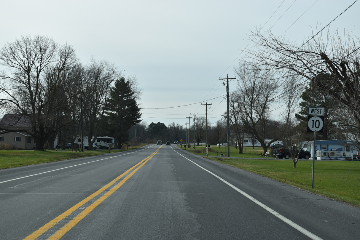
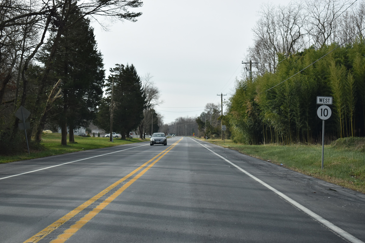
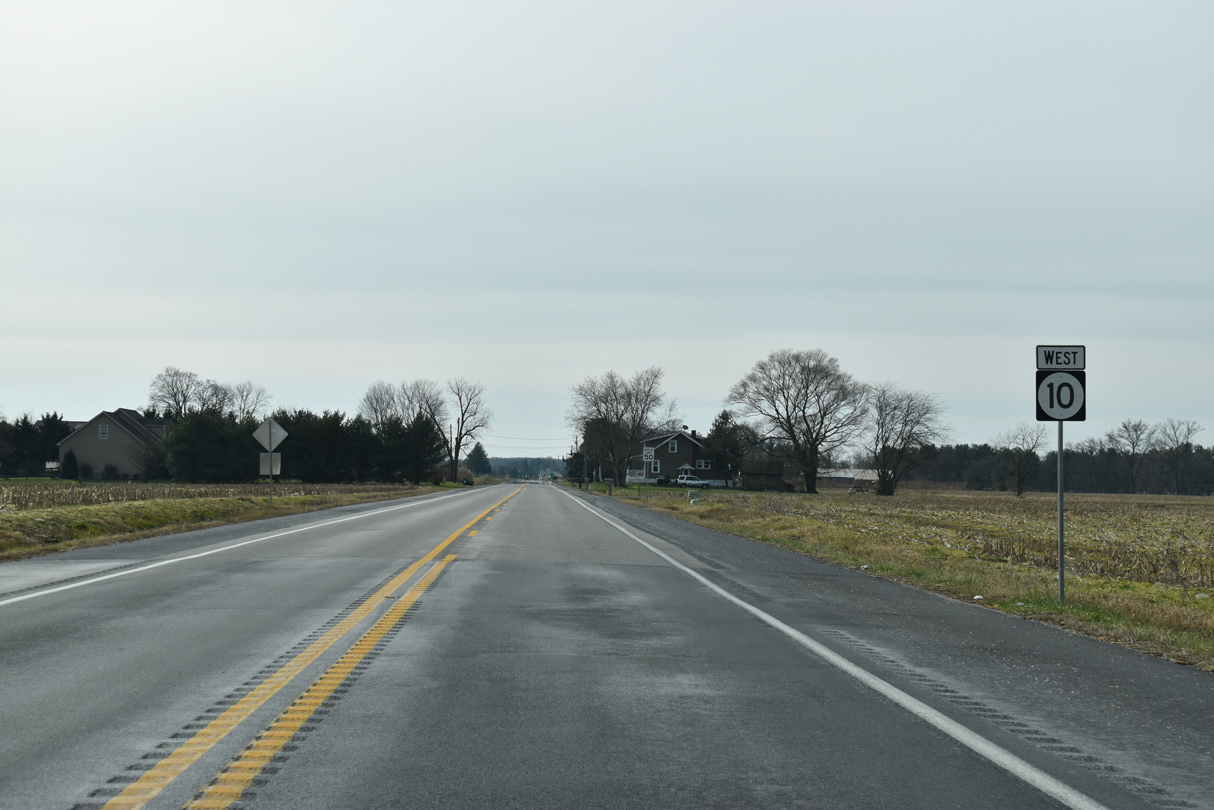
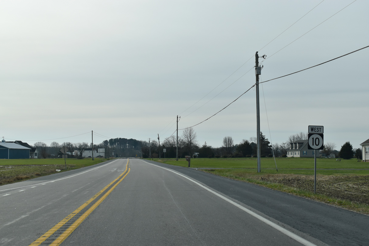
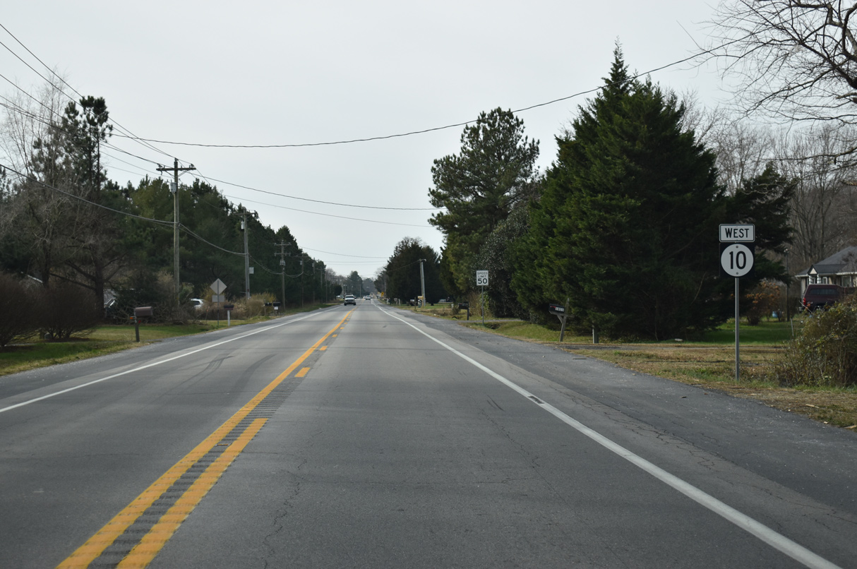
| SR 10 is well posted to the state line. Signs were changed along the route after 2013. 12/19/20 |
|
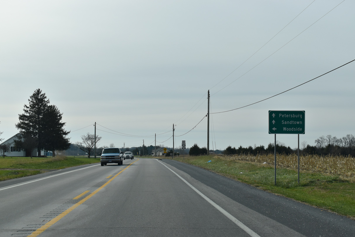
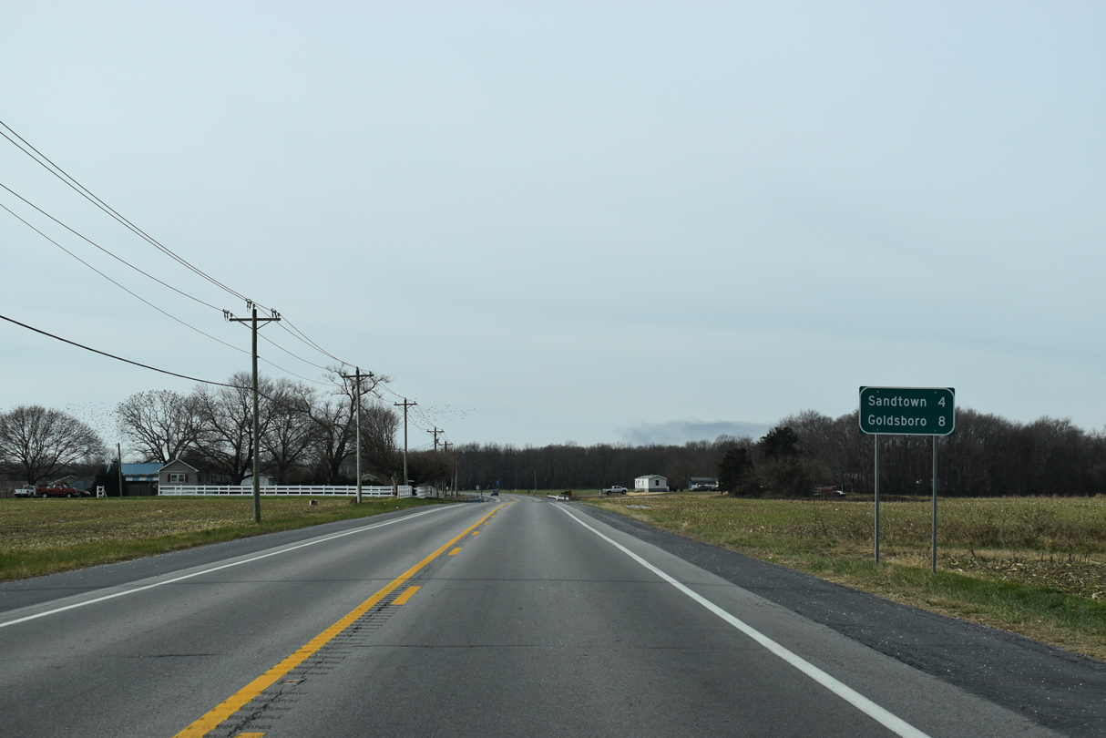
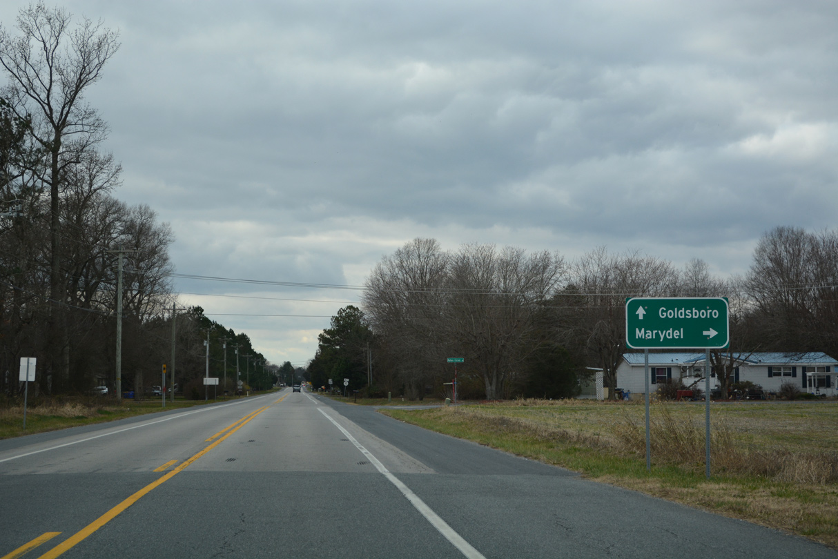
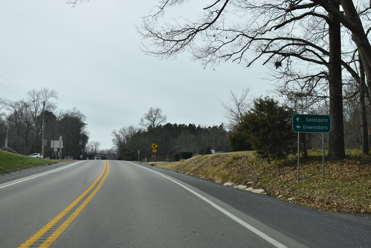
| West from Petersburg, SR 10 reaches the rural community of Sandtown in four miles and the town of Goldsboro, Maryland in eight miles. 12/19/20 |
|
| Ironmine Road (Rd 251) runs 2.31 miles south to Sandtown Road (Rd 56) from SR 10 (Willow Grove Road) ahead of this confirming marker. 12/19/20 |
|
| SR 10 (Willow Grove Road) west of Cabin Ridge Road (Rd 253) south. 12/19/20 |
|
| SR 10 west of Pony Track Road (Rd 212) north to Mud Mill Road. 12/19/20 |
|
| Willow Grove Road crosses Meredith Branch west at the settlement of Mt. Moriah and ahead of Mt. Olive Cemetery Road (Rd 254) south. 12/19/20 |
|
| Mahan Corner Road (Rd 208) stems north from SR 10 (Willow Grove Road) at Sandtown 2.18 miles to Mahan and 5.87 miles to Main Street at the town of Marydel. 12/18/22 |
|
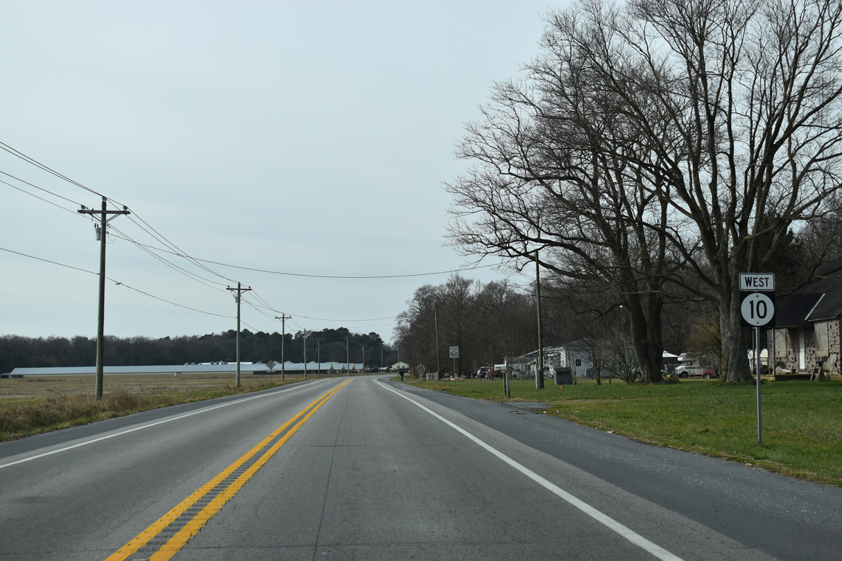
| SR 10 (Willow Grove Road) parallels Sandalwood Drive on the ensuing stretch west into Sandtown. 12/19/20 |
|
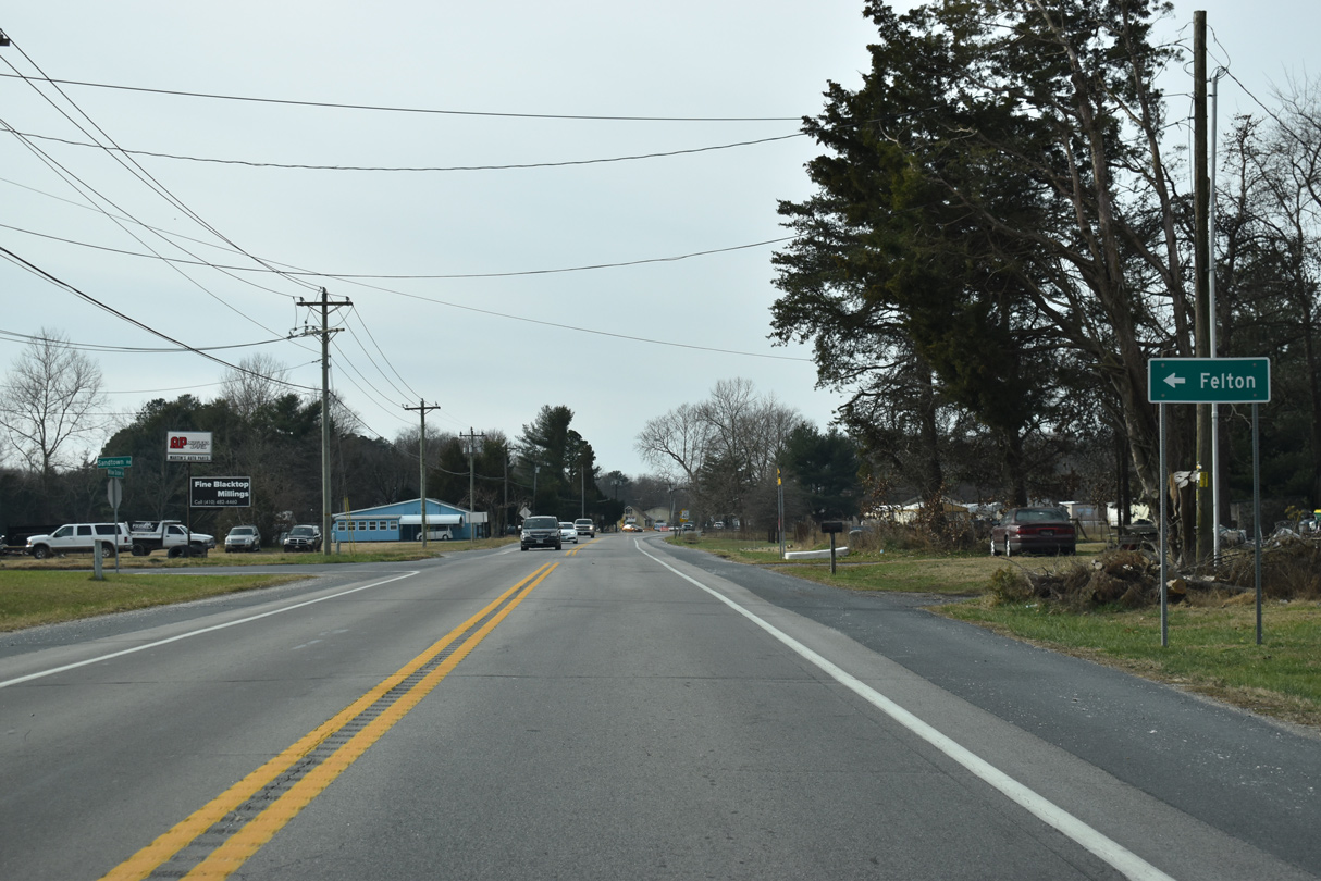
| Sandtown Road is a minor collector leading 6.45 miles southeast from SR 10 (Willow Grove Road) to SR 12 (Burnite Mill Road) west of Berrytown and the town of Felton. 12/19/20 |
|
| Sandalwood Drive (Rd 208A) converges with SR 10 west at Holly Spring Road (Rd 256) in Sandtown. 12/19/20 |
|
| The last shield for SR 10 west appears after Holly Spring Road at the access road for the Sandtown Landfill. 12/19/20 |
|
| Drapers Mill Road (Rd 255A) branches southwest from SR 10 (Willow Grove Road) as the most direct route to Greensboro, Maryland. The rural highway ties into Boyce Mill Road in 4.5 miles. 12/19/20 |
|
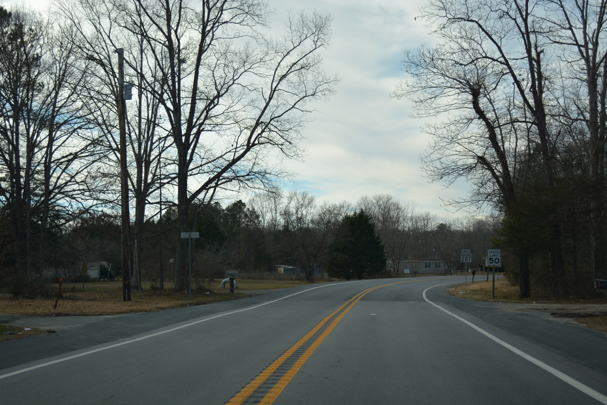
| Transitioning to MD 287 (Sandtown Road), SR 10 (Willow Grove Road) crosses into Caroline County, Maryland. 12/31/16 |
Page Updated 12-30-2022.


 West
West