|
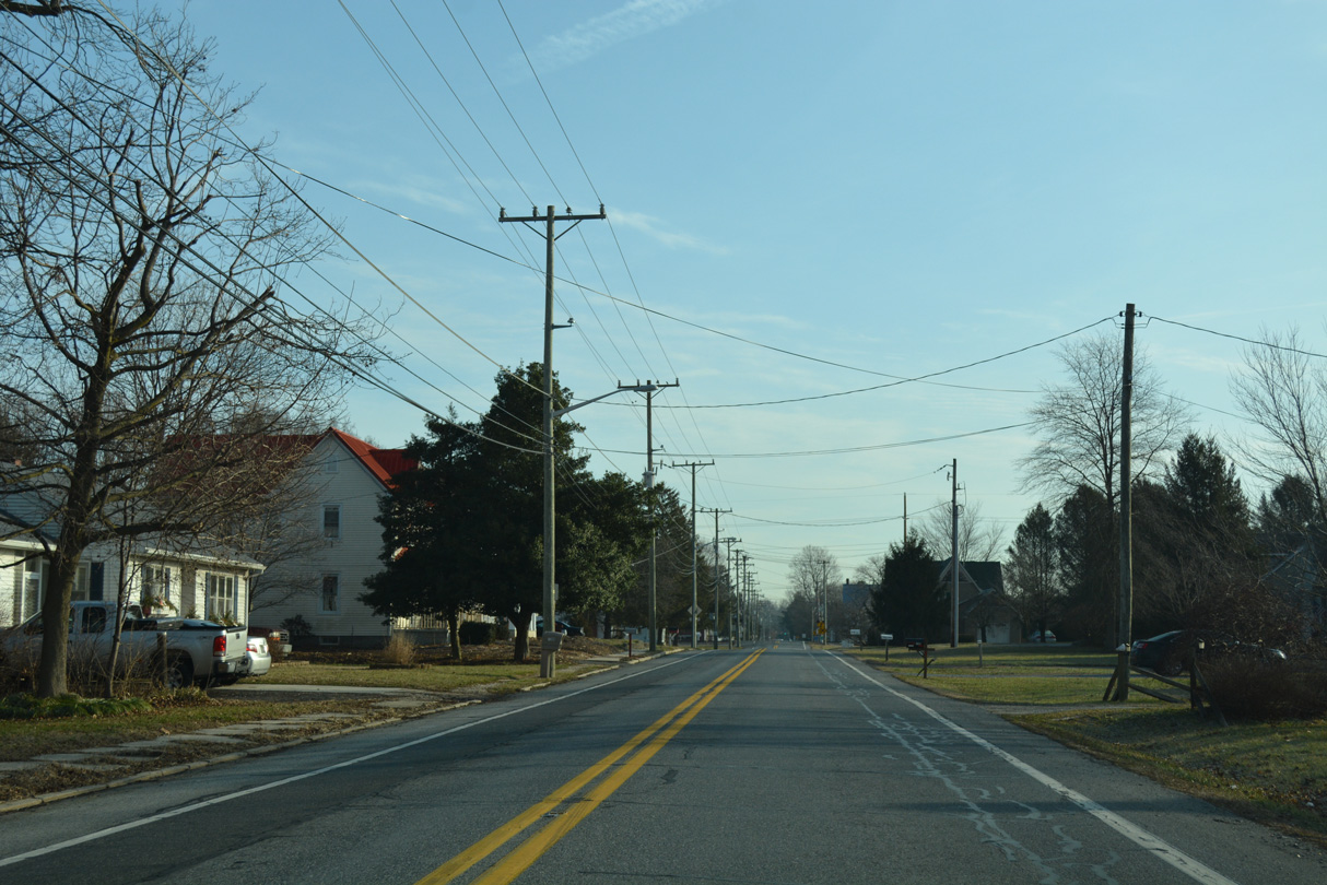
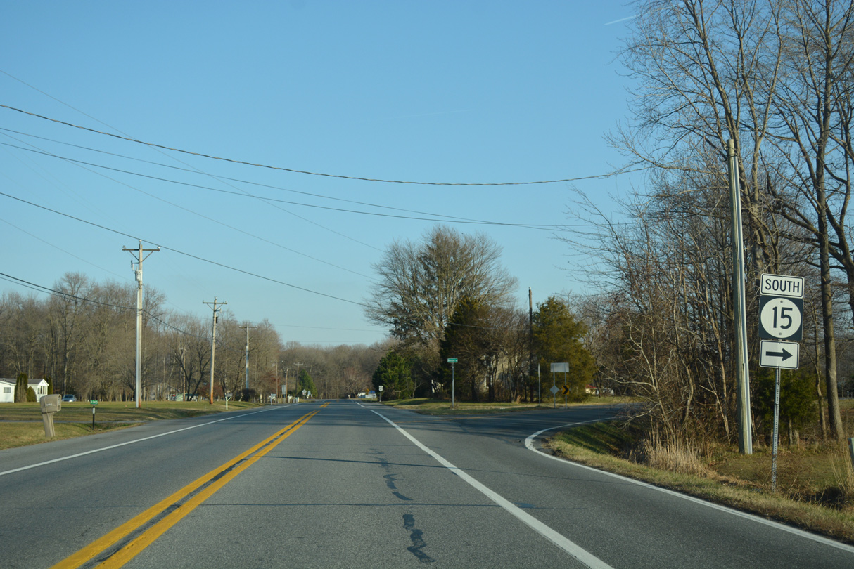
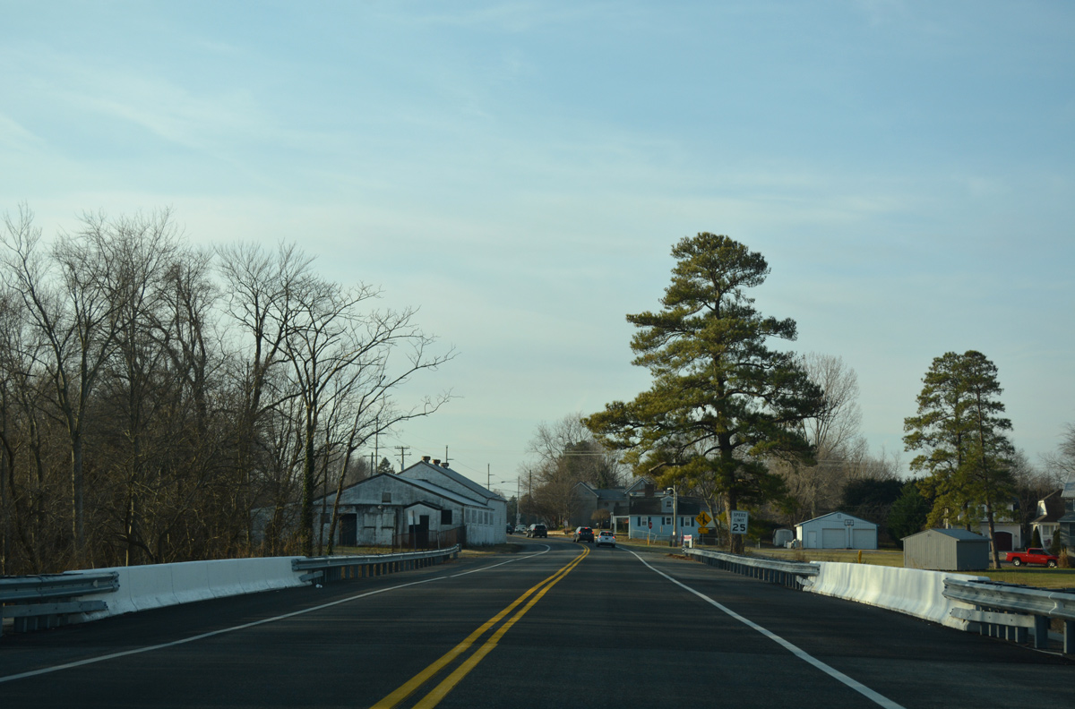
| SR 15 follows West Duck Creek Road through residential areas along the west side of Clayton Avenue. Speed limits reduce to 25 miles per hour as the state route kinks southwest here at Wilson Avenue. 12/28/16 |
|
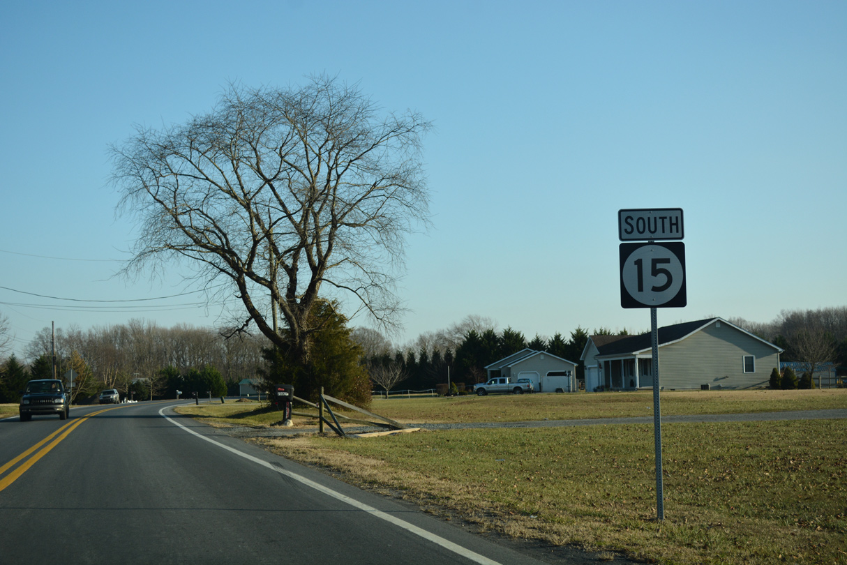
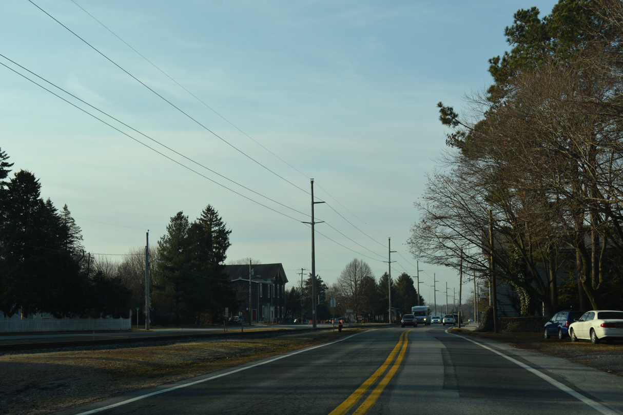
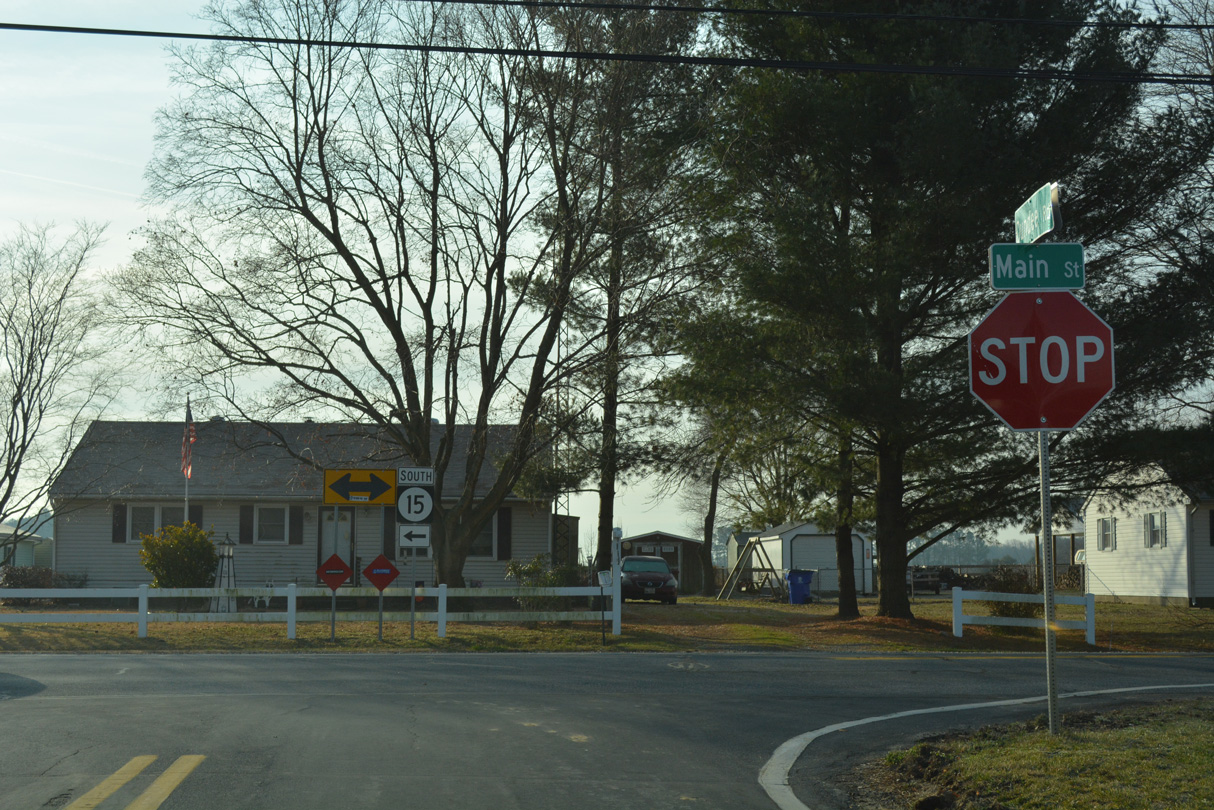
| Clayton Avenue (Rd 38) angles 0.23 miles southeast to SR 6 (Main Street) in Downtown Clayton from a stop sign intersection with SR 15 (W Duck Creek Road). 12/28/20 |
|
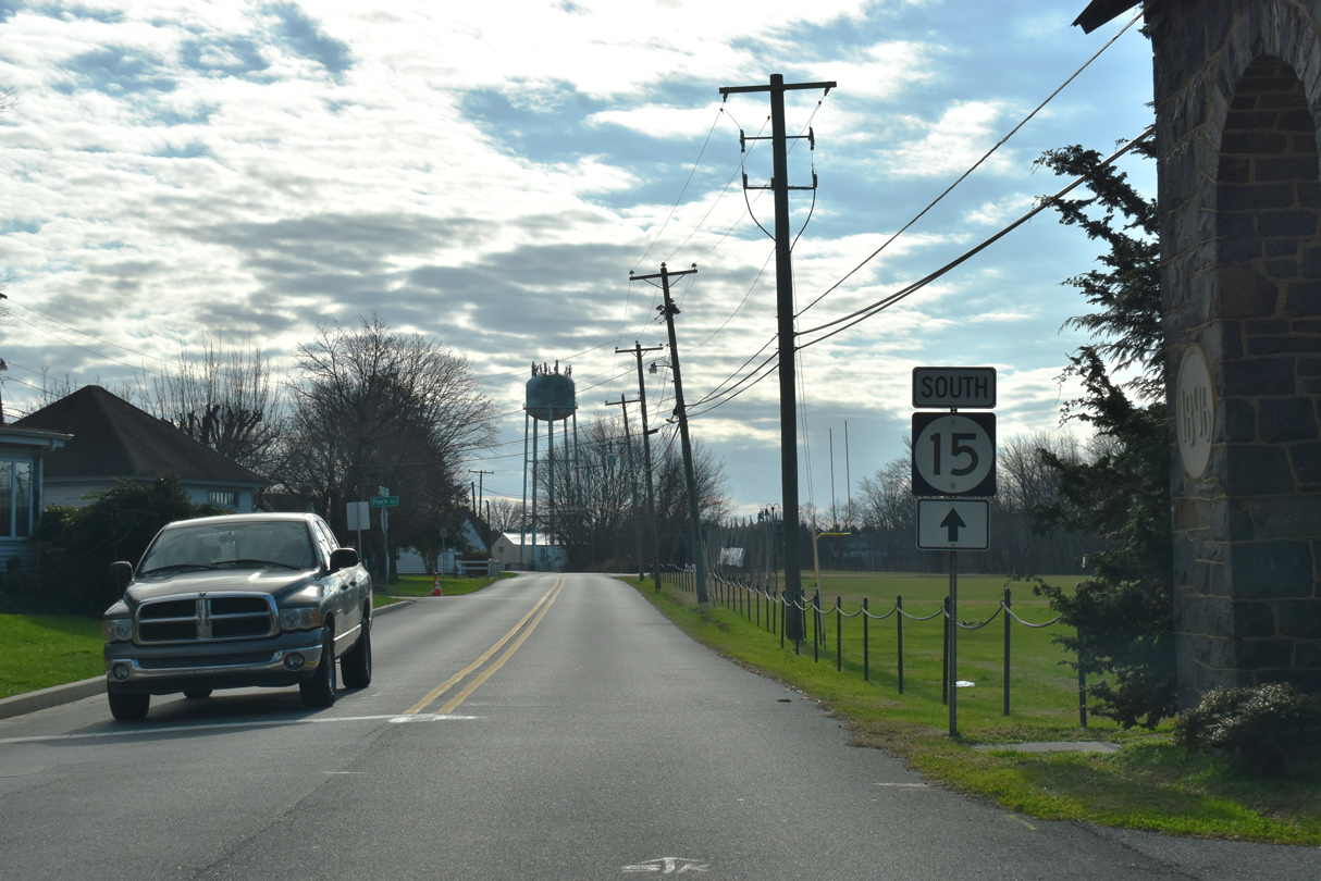
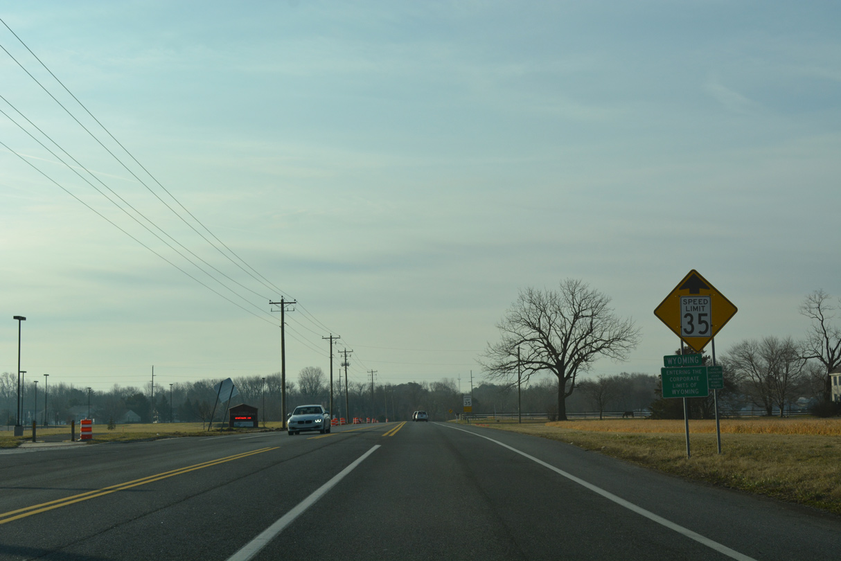
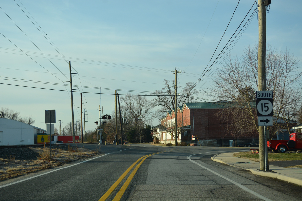
| SR 15 turns west alongside SR 6 (Millington Road) to leave Clayton. SR 6 east follows Main Street through Clayton 1.14 miles to join with SR 300 (Glenwood Avenue) north to U.S. 13 in Smyrna. 12/28/20 |
|
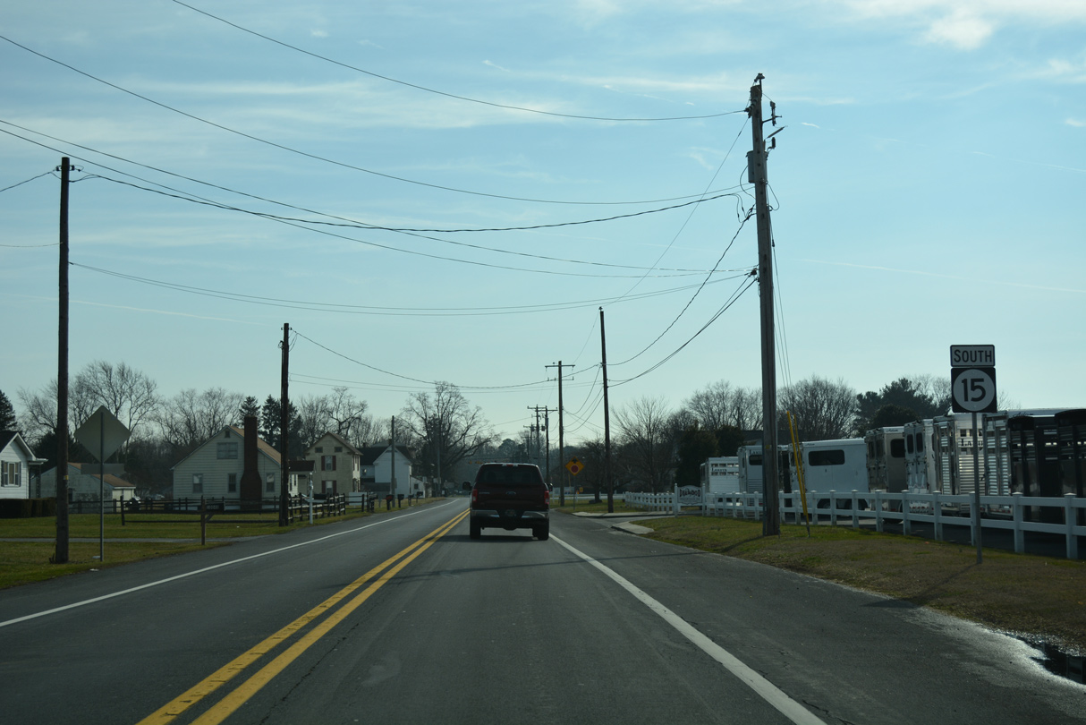
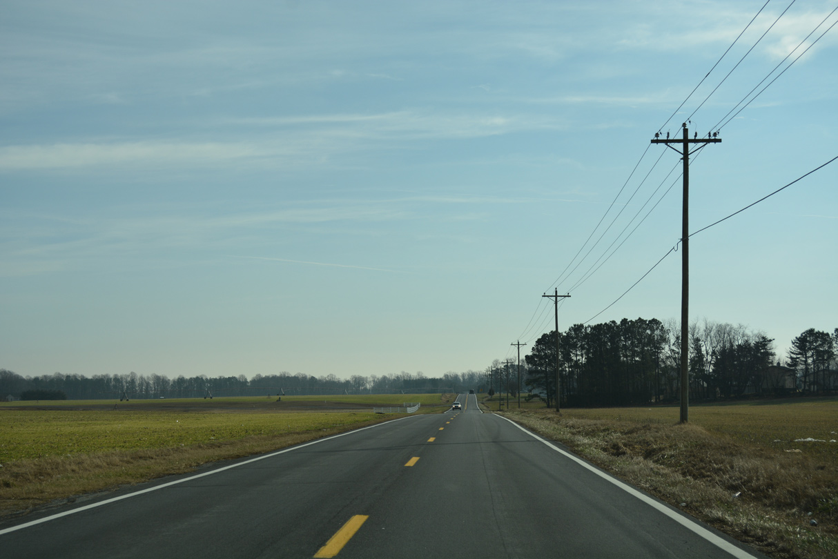
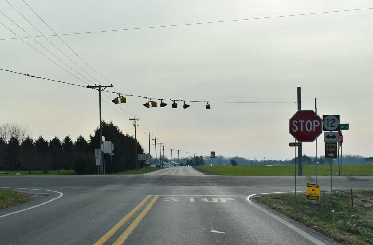
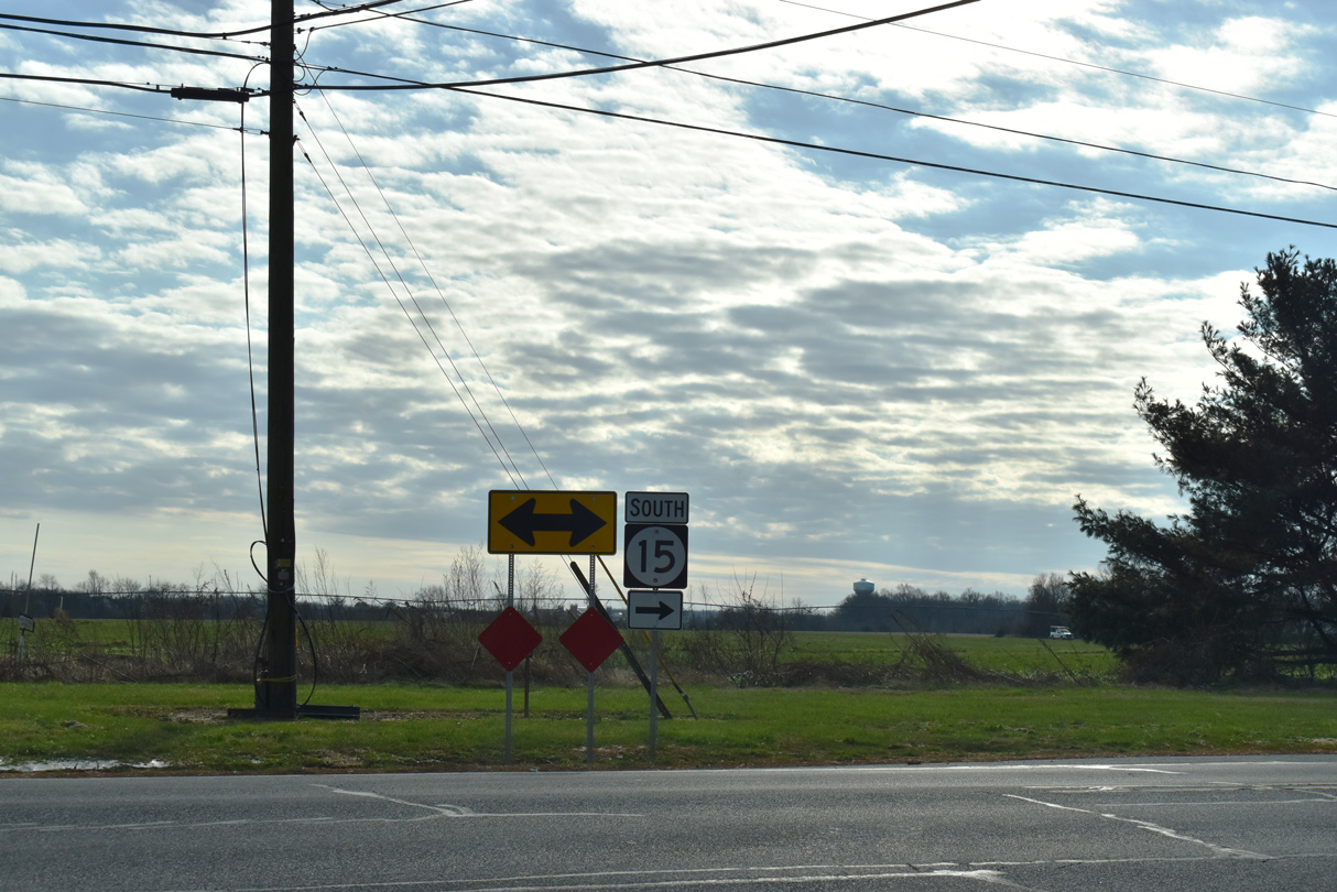
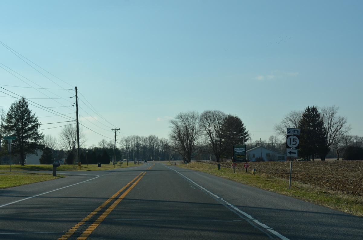
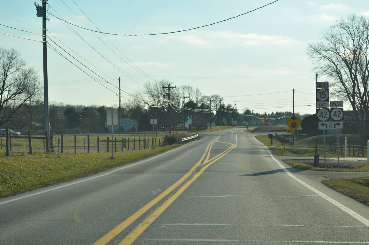
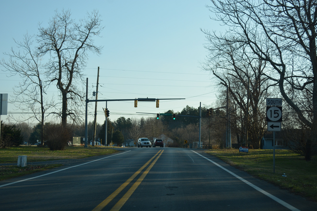
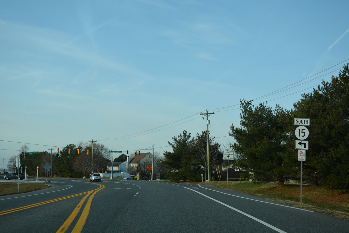
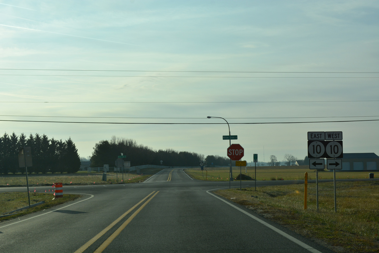
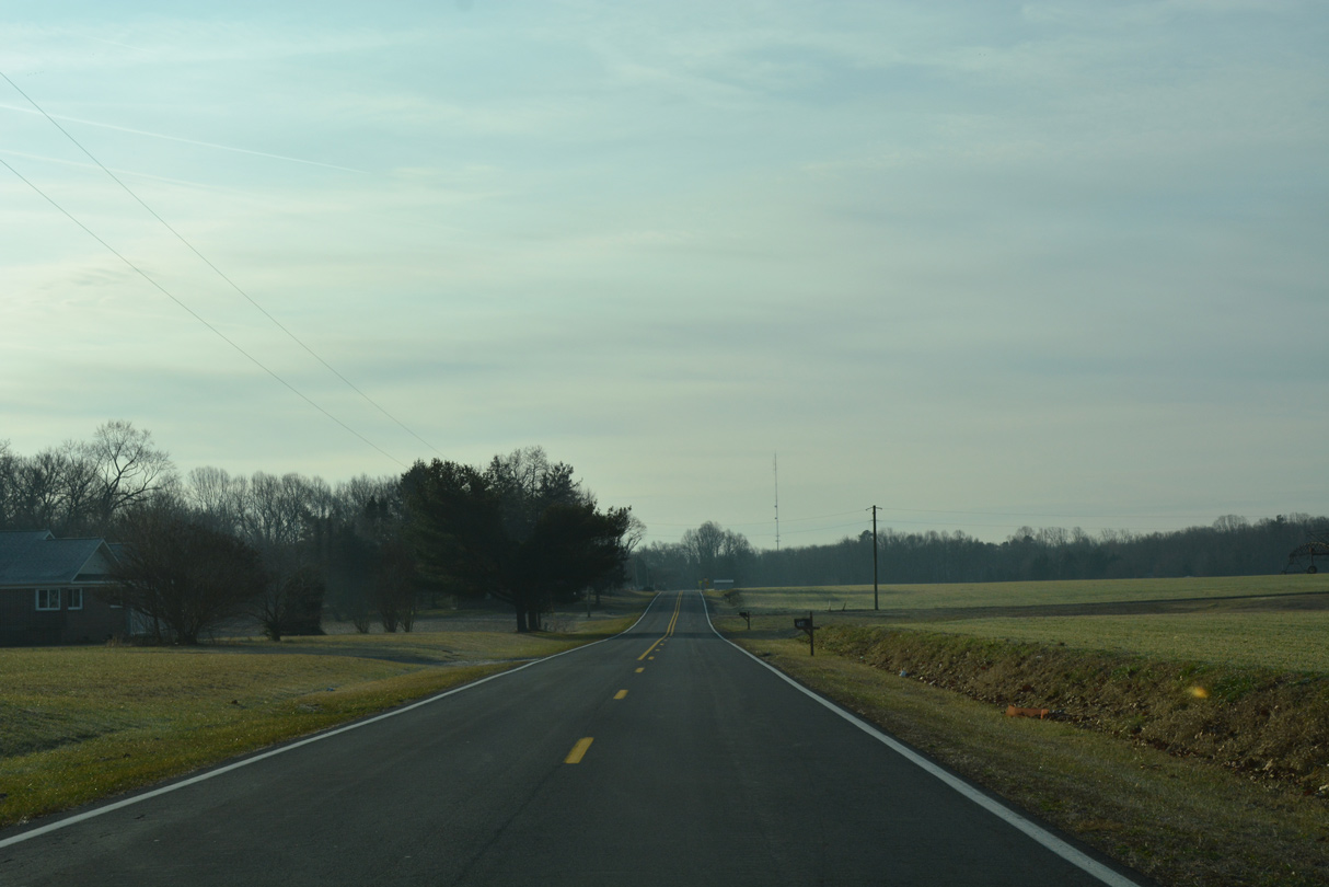
| SR 6 west / SR 15 south overlap for 1.25 miles from W Duck Creek Road by the Wing Song Farms large lot subdivision. 12/28/16 |
|
| SR 15 turns to the southeast along Alley Corner Road toward SR 300 while Millington Road (SR 6) continues west toward Blackiston and Kent County, Maryland. 12/28/16 |
|
| Friendship Road meanders southward from SR 300 (Wheatleys Pond Road) between the Mount Friendship, Massey's Mill, Timber Mills subdivisions to the west of Masseys Millpond. 12/28/16 |
|
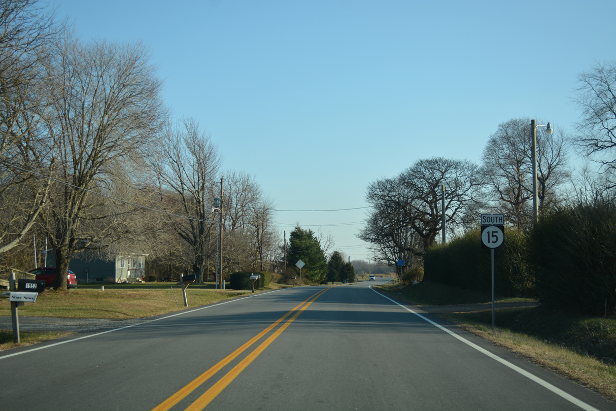
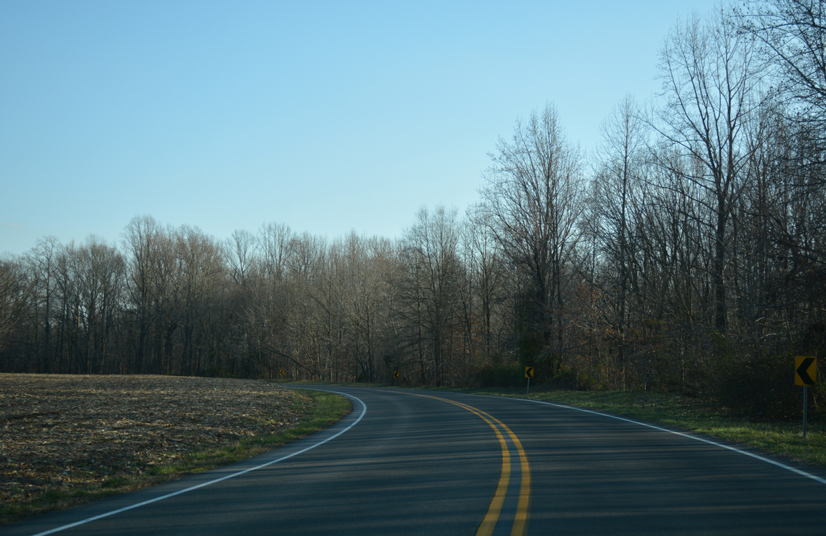
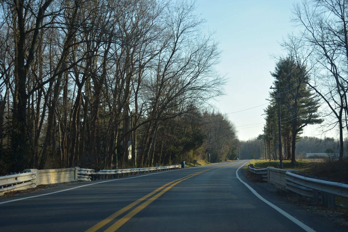
| An S-curve shifts SR 15 (Friendship Road) east across the Leipsic River. 12/28/16 |
|
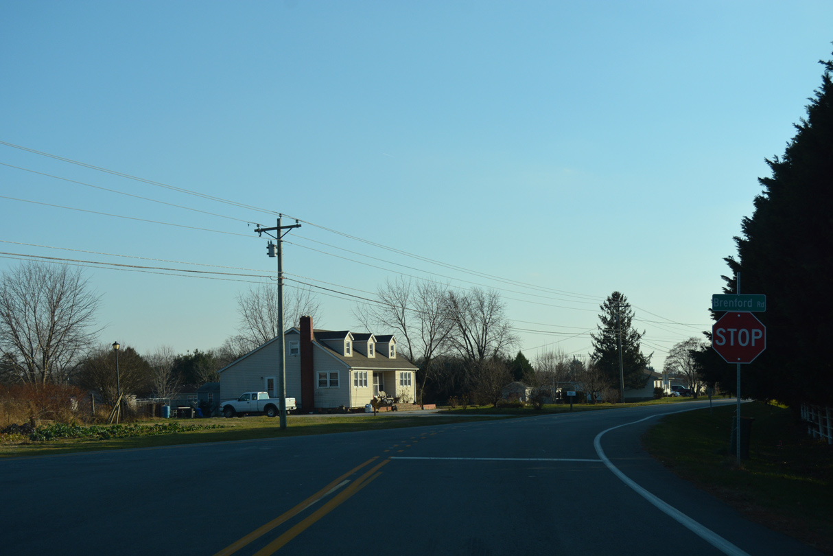
| Brenford Road angles southwest from the suburban south south of Smyrna to overtake Friendship Road as the alignment of SR 15 south to Seven Hickories. 12/28/16 |
|
| Lynnbury Woods Road west ties into SR 15 (Brenford Road) south from north Cheswold on the ensuing stretch. 12/28/16 |
|
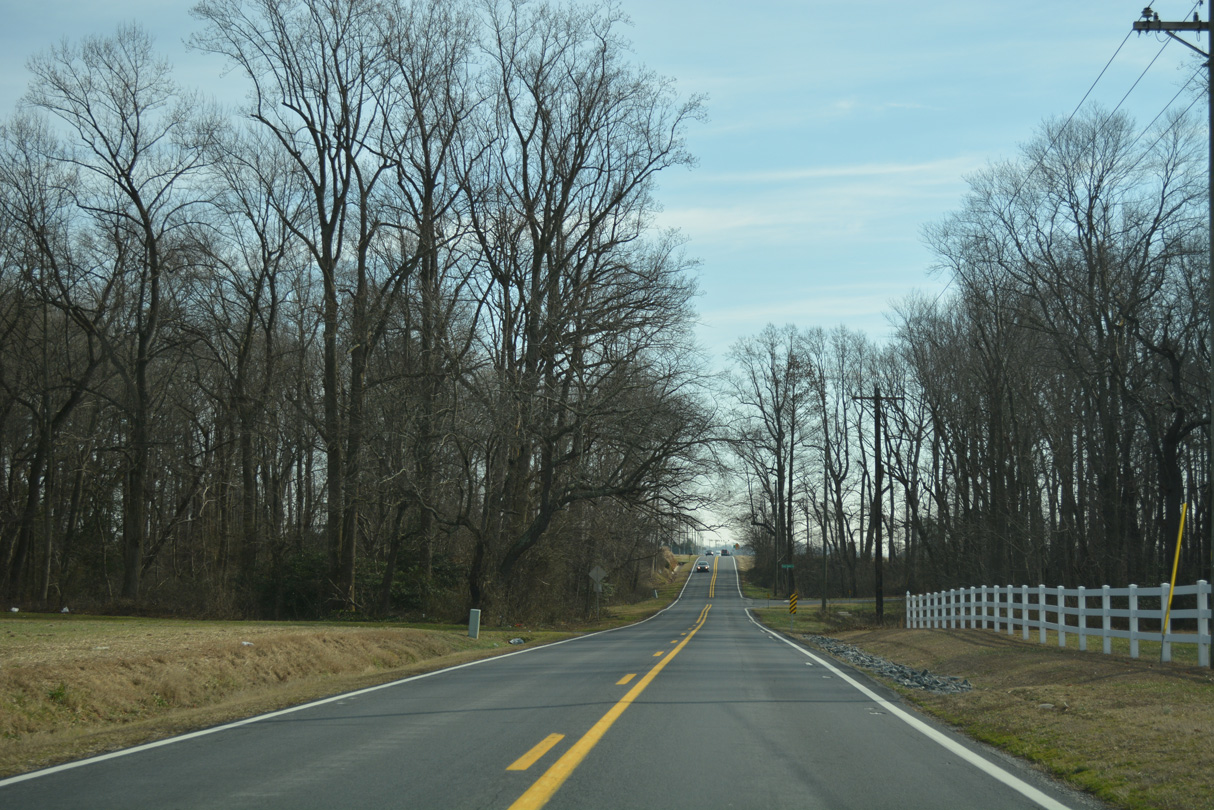
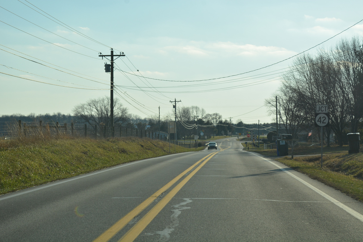
| SR 15 passes by the Rolling Meadows subdivision to reach Seven Hickories and SR 42. SR 42 (Seven Hickories Road) circles northwest to Kenton and SR 6 at Blackiston. 12/28/16 |
|
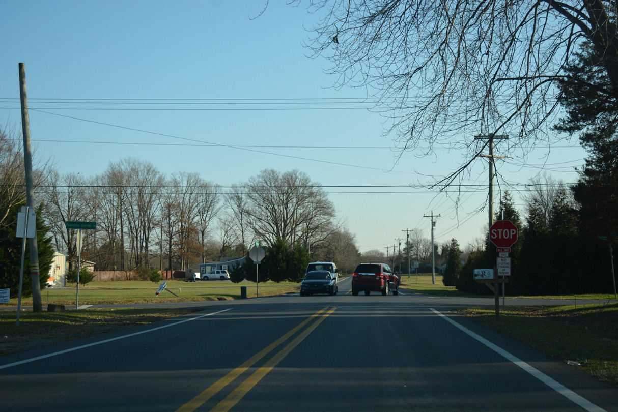
| SR 15/42 overlap for 1.1 miles along Seven Hickories Road east toward the town of Cheswold. Seeneytown Road extends southwest from their junction to Shaws Corner and Seeneytown. 12/28/16 |
|
| Confirming markers for SR 15 south / SR 42 east after their merge at Seven Hickories. 12/28/16 |
|
| Seven Hickories Road turns more easterly ahead of the partition with SR 15 (Kenton Road) south and Moores Corner. 12/28/16 |
|
| SR 15 continues its southward course toward Dover while SR 42 bends northward to Cheswold and Leipsic. 12/28/16 |
|
| SR 15 (Kenton Road) initially veers southeast from SR 42 (Seven Hickories Road). 12/28/16 |
|
| Kenton Road quickly intersects Pearsons Corner Road at a four-way stop sign south of SR 42. The rural road arcs southwest to SR 8 at Pearsons Corner. 12/28/16 |
|
| Kenton Road crosses Fork Branch on a bridge built in 1934. Fork Branch flows east to Silver Lake in Dover. 12/28/16 |
|
| Kenton Road leads SR 15 south to Lower Moores Corner, where the route turns east onto Denneys Road. Denneys Road runs east from Lockwood Chapel Road to subdivisions nearby. 12/28/16 |
|
| Denneys Road lines the north Dover city line east to the Carlisle Village neighborhood. 12/28/16 |
|
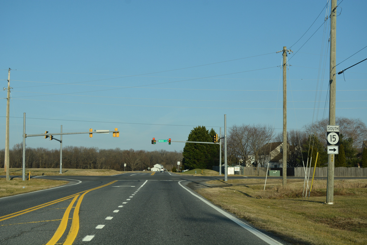
| McKee Road stems south from Central Church Road to become a part of SR 15 south of Denneys Road. Denneys Road east makes an S-curve across Fork Branch to the campus of Delaware Technical & Community College (DTCC) and U.S. 13 (Dupont Highway). 12/28/16 |
|
| McKee Road carries SR 15 south by the Mill Creek subdivision and McKee Business Park into Dover. 12/28/16 |
|
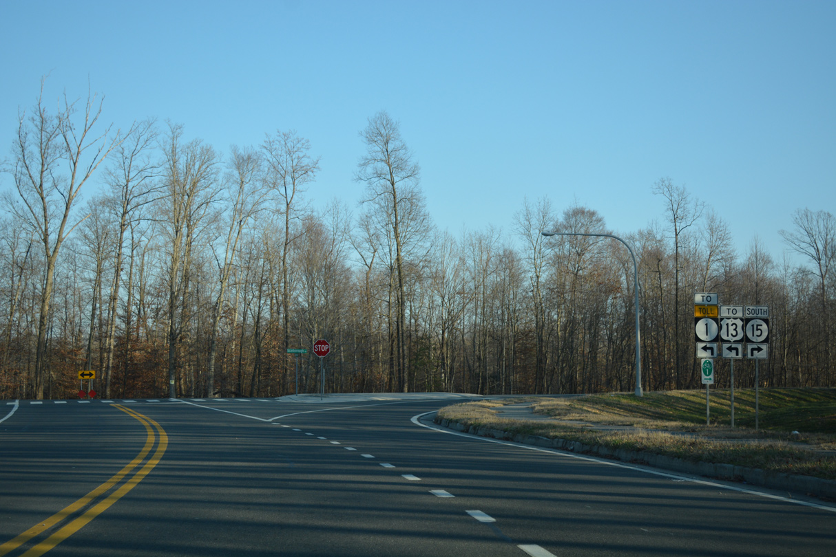
| McKee Road ties into the south end of Scarborough Road at a T-intersection. The road formerly continued straight, but was realigned during construction of the Scarborough Road connector. The connector circles northeast to DTCC, U.S. 13 (Dupont Highway) and the north Dover exit of the SR 1 toll road. 12/28/16 |
|
| SR 15 (McKee Road) expands into a three lane boulevard south from Scarborough Road to the traffic light with College Road. College Road runs across north Dover from Kenton Road to Delaware State University (DSU). 08/17/21 |
|
| Advancing south from College Road, SR 15 crosses over McKee Run ahead of The Hamlet subdivision. 08/17/21 |
|
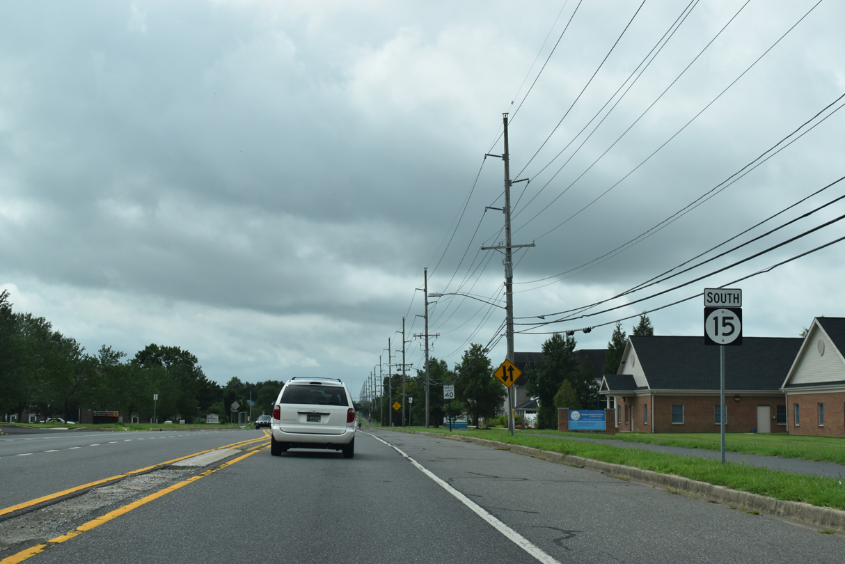
| A trailblazer for SR 8 stands at the SR 15 intersection with Walker and Saulsbury Roads. Walker Road takes a linear path west to Kenton Road and east to N State Street (U.S. 13 Alternate) at Silver Lake. 08/17/21 |
|
| An array of offices, industrial businesses line Saulsbury Road south from Walker Road. 08/17/21 |
|
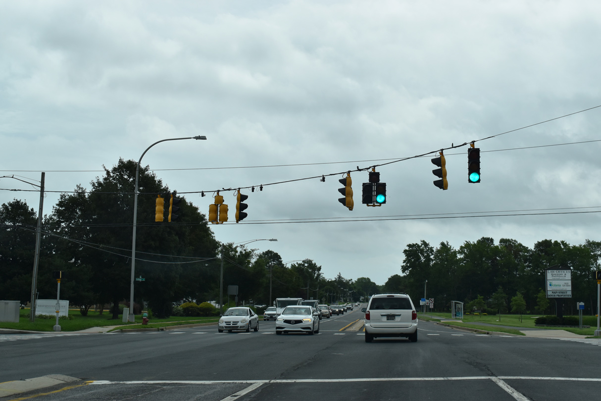
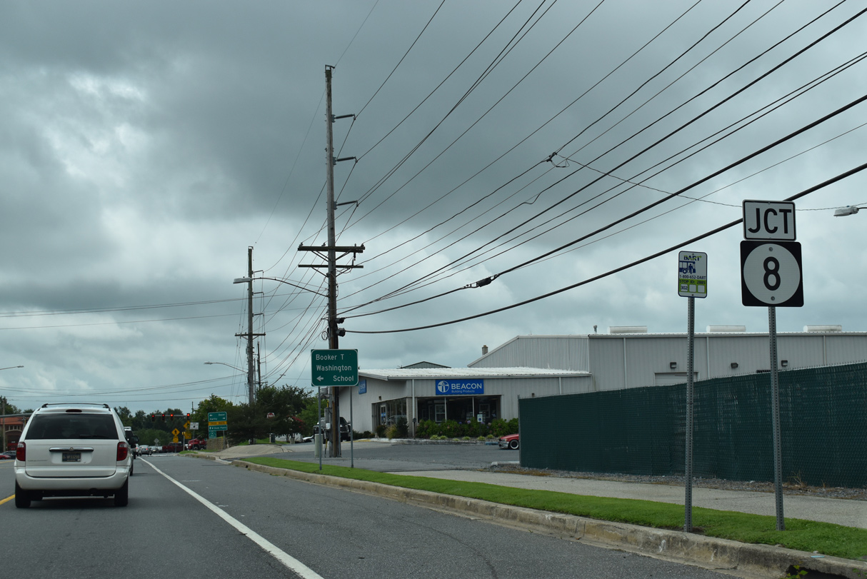
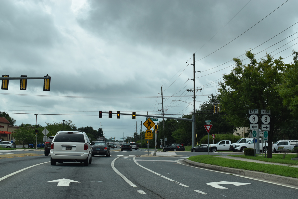
| SR 8 and SR 15 come together by the Gateway West Shopping Center. SR 8 follows Forest Street east to Division Street across central Dover. 08/17/21 |
|
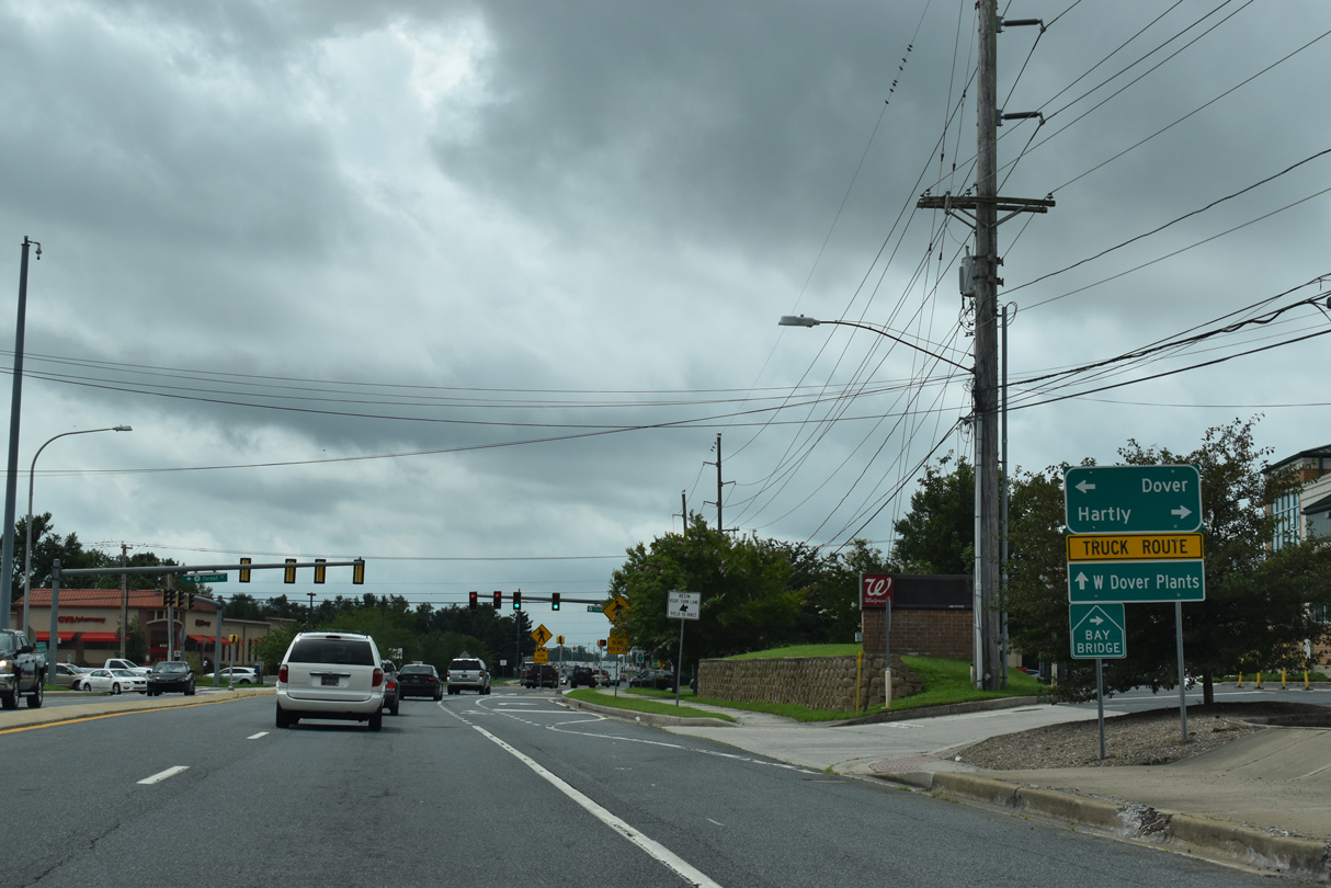
| A Bay Bridge trailblazer directs motorists from SR 15 (Saulsbury Road) south onto Forest Street west. SR 8, in conjunction with SR 44 through Hartley and MSR 300 west from Everetts Corner, provides part of a route west from Dover to U.S. 301 south as it joins the Eastern Shore of Maryland with the Chesapeake Bay Bridge. 08/17/21 |
|
| SR 8 east quickly partitions with Forest Street to Loockerman Street and Downtown Dover. The state route connects the east side of Dover with SR 1 north to Smyrna and SR 9 at Little Creek. 08/17/21 |
|
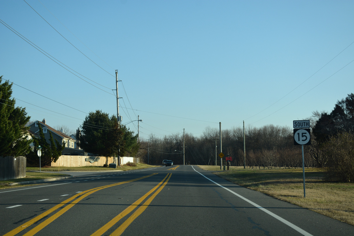
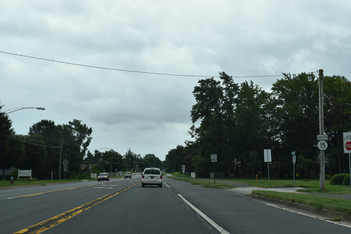
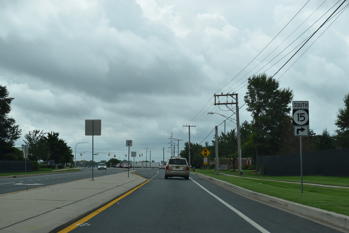
| Saulsbury Road continues south as SR 15 to North Street and POW/MIA Parkway. 08/17/21 |
|
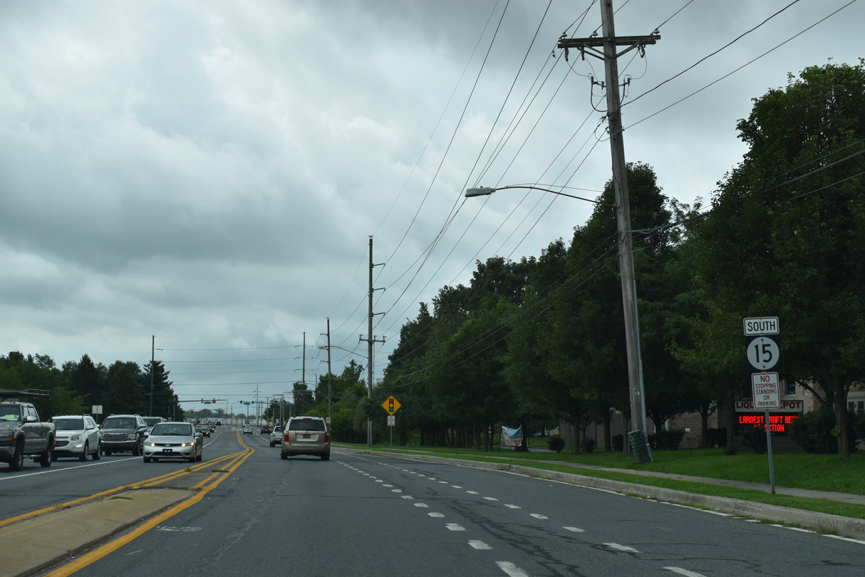
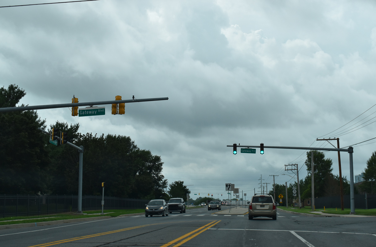
| Gateway Boulevard ties into SR 15 (Saulsbury Road) from Gateway West Shopping Center and Enterprise Business Park. 08/17/21 |
|
| SR 15 turns west along North Street from the end of Saulsbury Road at POW/MIA Parkway. 08/17/21 |
|
| Opened to traffic on September 15, 2017, POW/MIA Parkway constitutes a boulevard weaving southwest to SR 15 along Wyoming Mill Road and east to U.S. 13 (Dupont Highway) just outside Camden. 12/30/17 |
|
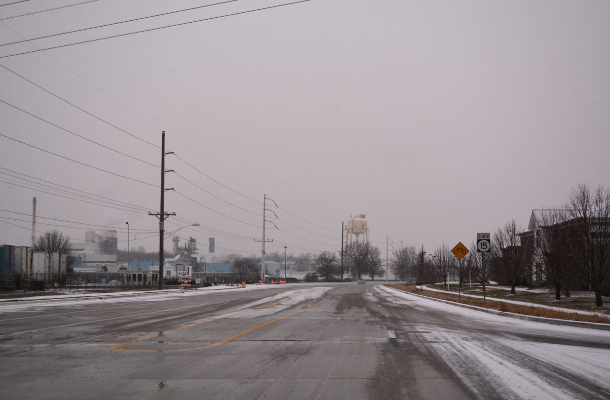
| A concrete stretch of SR 15 serves truck traffic to the Kraft Heinz plant and other industrial businesses between North Street and Electric Avenue. 12/30/17 |
|
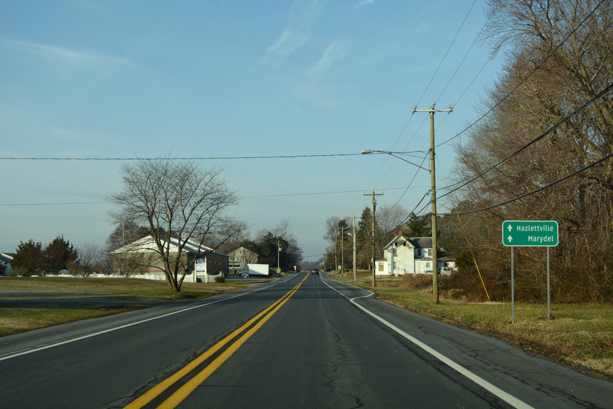
| North Street becomes Hazlettville Road west of Puncheon Run en route to the rural community of Hazlettville. 01/16/17 |
|
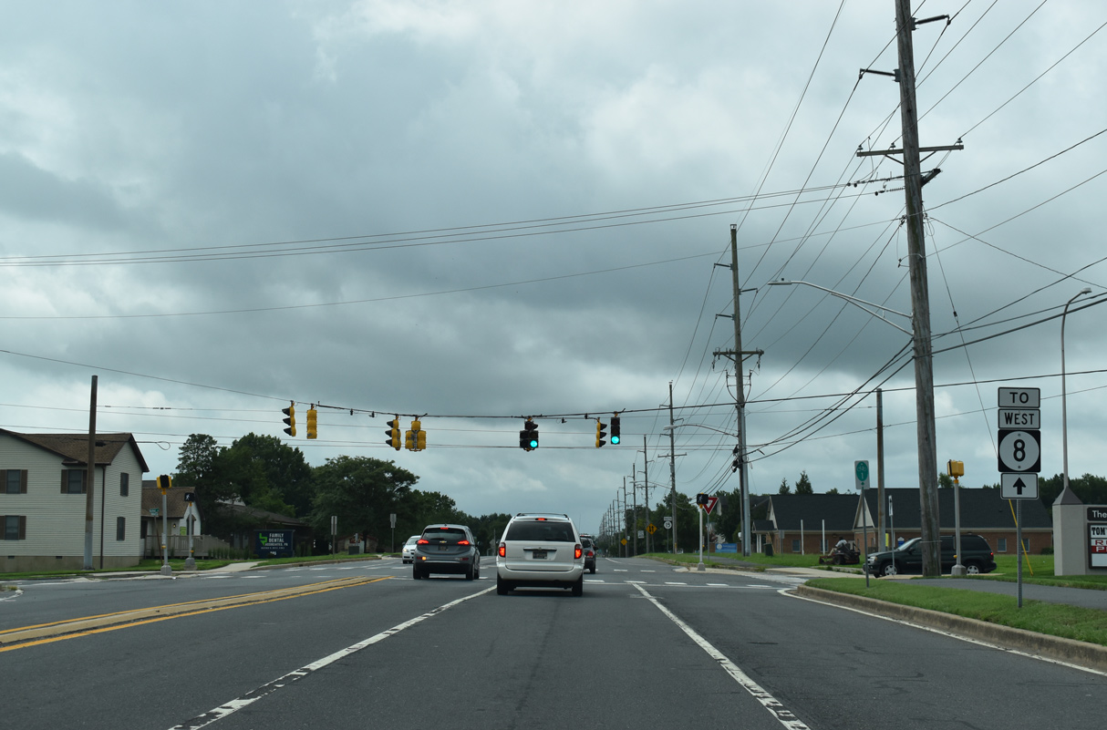
| Mifflin Road links SR 8 (Forrest Avenue) with SR 15 (Hazlettville Road) at the traffic light with Electric Avenue across from Schutte Park. 01/16/17 |
|
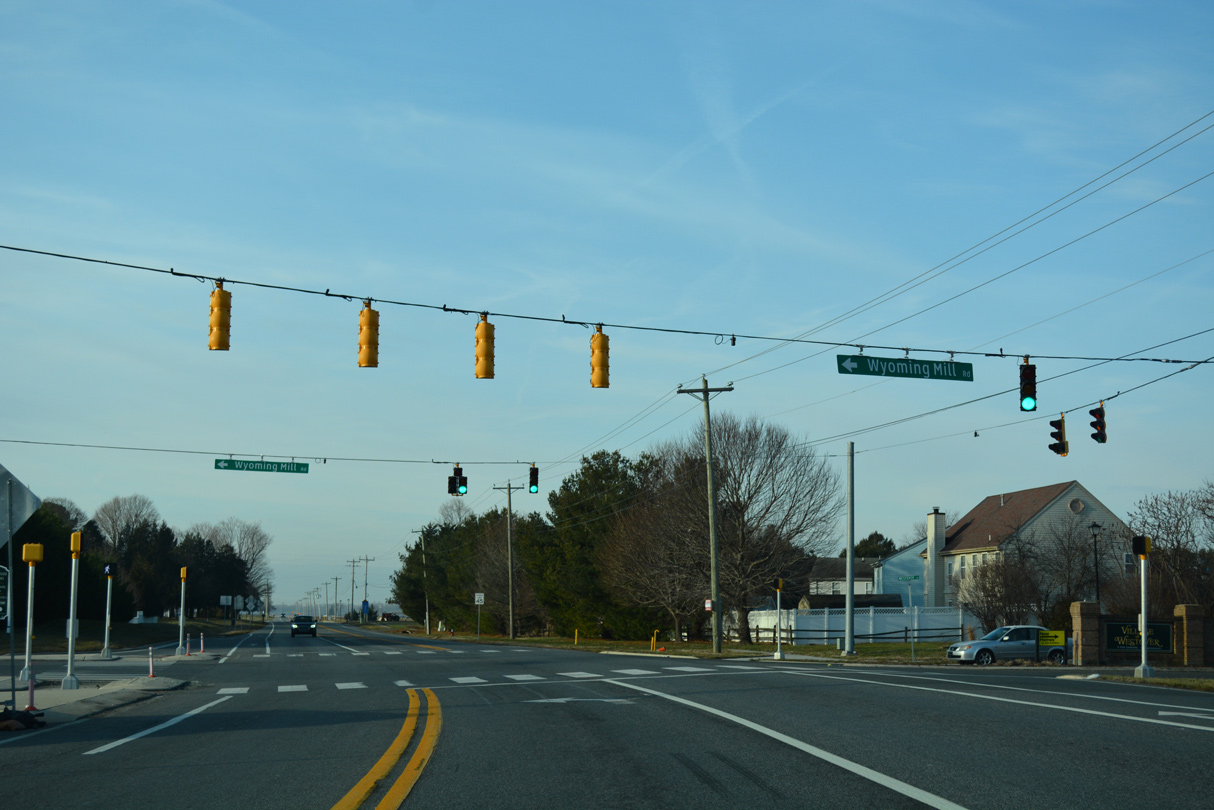
| SR 15 makes another turn, joining Wyoming Mill Road south from Hazlettville Road to the town of Wyoming. 01/16/17 |
|
| South from Hazlettville Road, SR 15 travels 2.57 miles to Southern Boulevard in Wyoming. 01/16/17 |
|
| Westover Drive, the main entrance to the Village of Westover neighborhood, connects with SR 15 at Wyoming Mill Road. 01/16/17 |
|
| SR 15 (Wyoming Mill Road) leads south along the back side of the Nottingham Meadows subdivision through western reaches of Dover. 01/16/17 |
|
| A branch of POW/MIA Parkway connects with SR 15 (Wyoming Mill Road) near the bridge over the Norfolk Southern Railroad. Work on the POW/MIA Parkway started on April 6, 2015. 01/16/17 |
|
| Advancing outside the Dover city limits, farm land spreads into view on the stretch of SR 15 south from POW/MIA Parkway to Papen Lane. 01/16/17 |
|
| The town limits of Wyoming extend northward along SR 15 toward Papen Lane. 01/16/17 |
|
| Speed limits reduce to 35 than 25 miles per hour as the state route crosses Isaac Branch into the Wyoming town center. 01/16/17 |
|
| SR 15 (Railroad Avenue) parallels a Norfolk Southern Railroad southward from Front Street through Wyoming. 01/16/17 |
|
| Camden Wyoming Avenue provides a cutoff from SR 15 south to SR 10 east through the adjacent town of Camden. 01/16/17 |
|
| Railroad Avenue south defaults onto Southern Boulevard as SR 15 turns west to leave Wyoming. 01/16/17 |
|
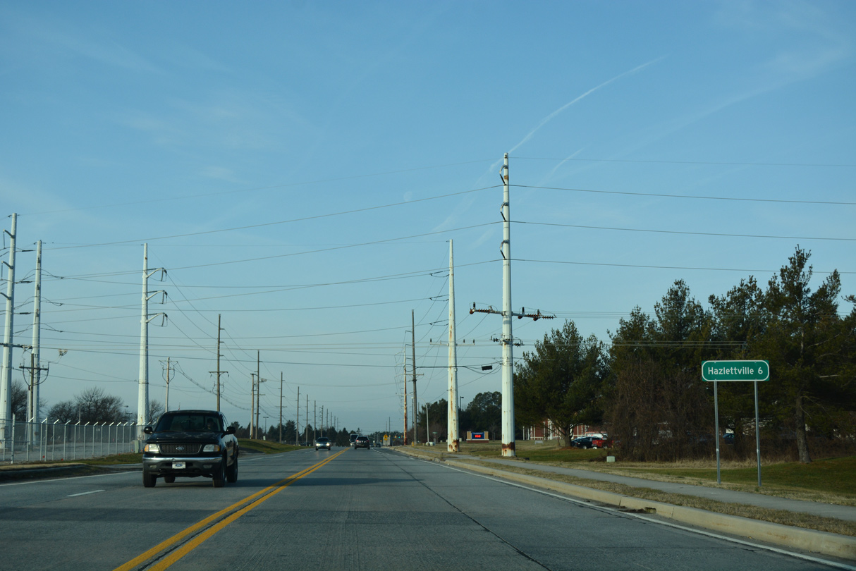
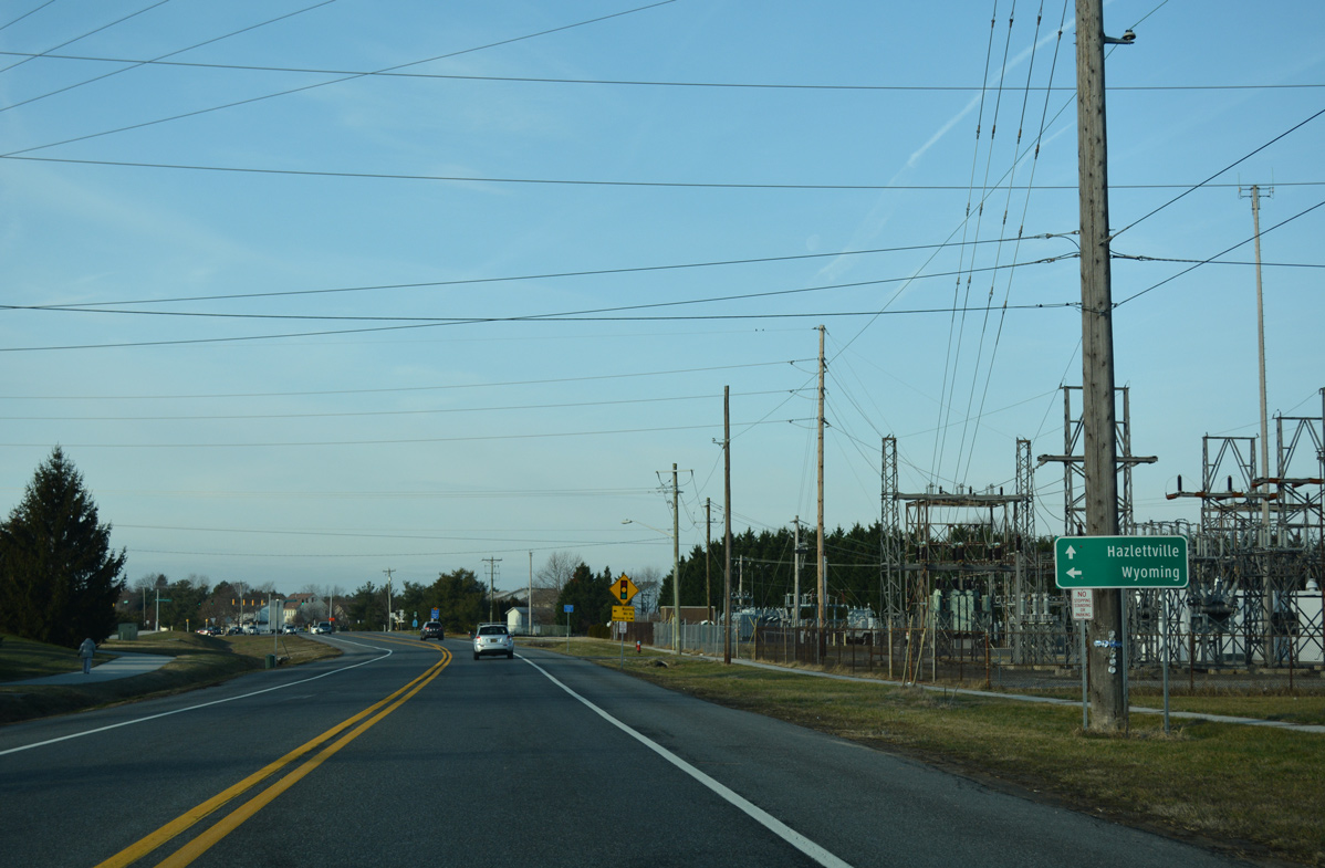
| Westville Road extends Southern Boulevard west beyond Wyoming to Hazletteville. 01/16/17 |
|
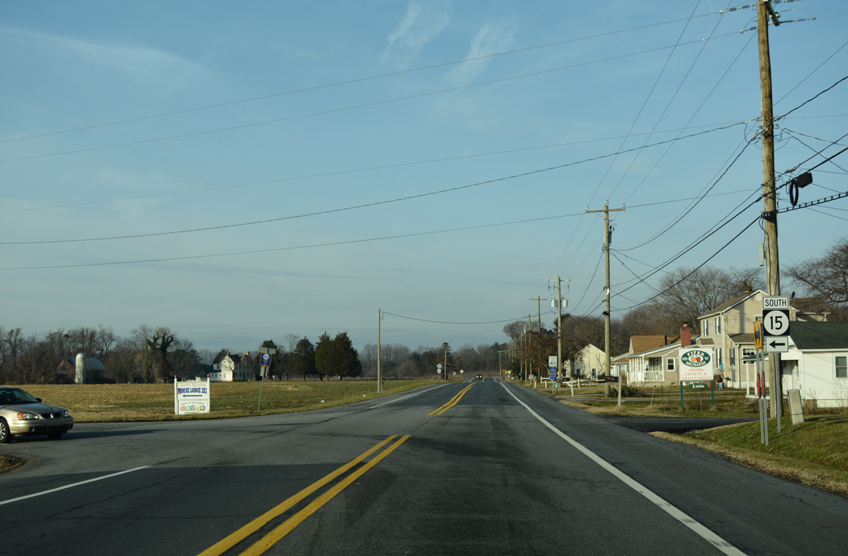
| SR 15 splits with Westville Road to join Moose Lodge Road south. 01/16/17 |
|
| Moose Log Road lines the western periphery of Wyoming as SR 15 advances south to SR 10. 01/16/17 |
|
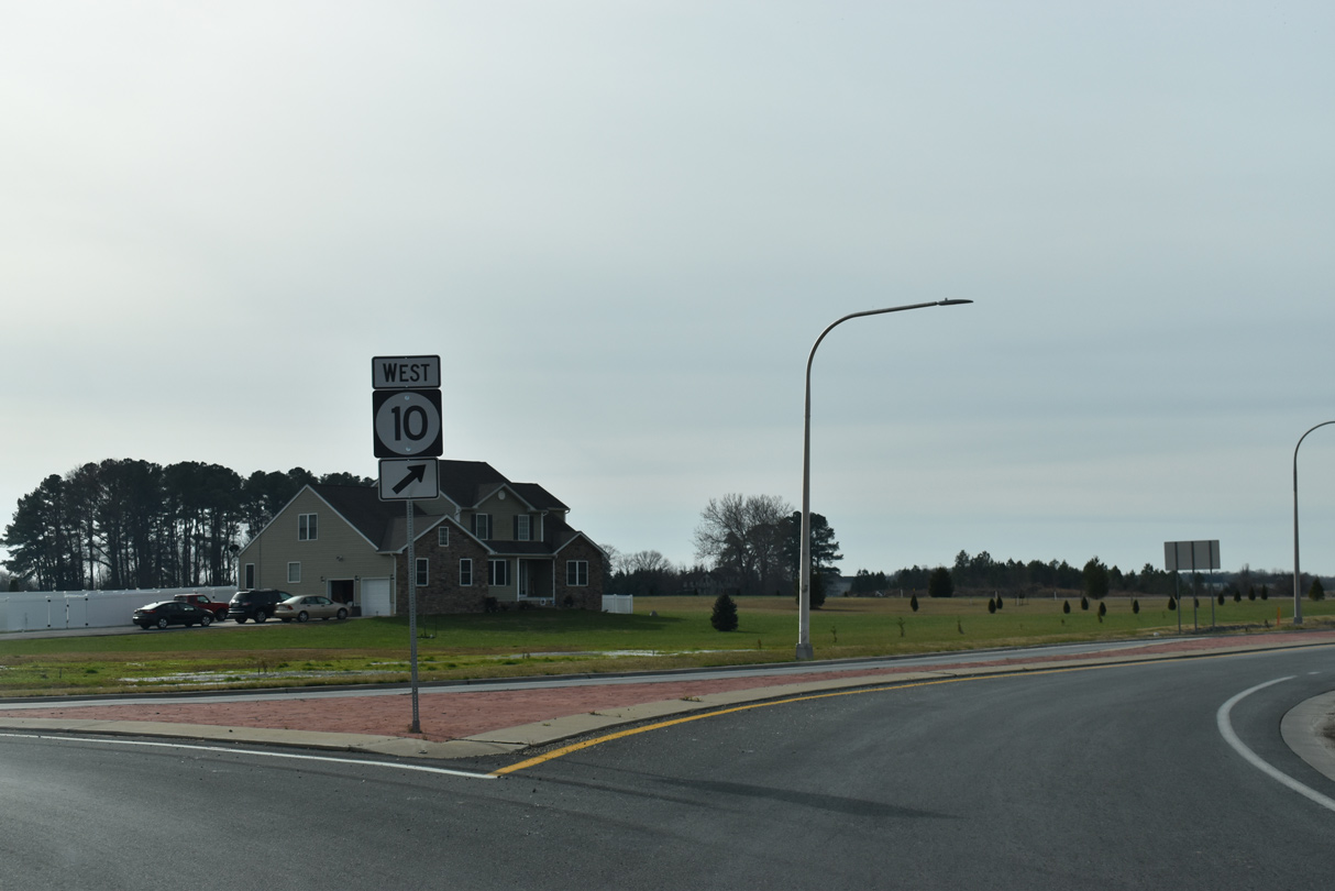
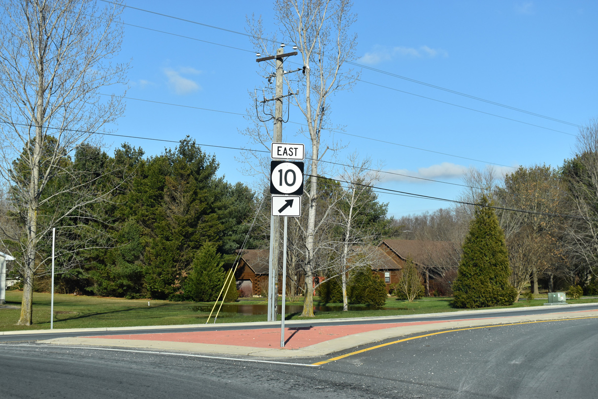
| SR 10 (Willow Grove Road) angles southwest from Camden to meet SR 15 in a quasi suburban area. 01/16/17 |
|
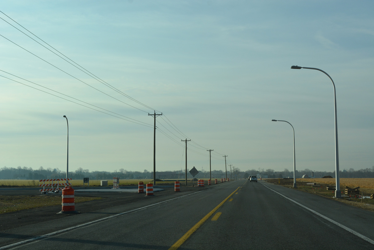
| A four month long construction project underway by April 2017 replaced the intersection at SR 10/15 with a roundabout.1 12/19/20, 12/18/20 |
|
| South from SR 10, SR 15 follows Dundee Road between the Wynn Wood neighborhood and the platted Ponds at Willow Grove subdivision. 01/16/17 |
|
| SR 15 (Dundee Road) crosses into the town of Camden through agricultural areas south of Bison Road. 01/16/17 |
|
| A short S-curve shifts SR 15 (Dundee Road) east across Tidbury Creek into the rural town of Woodside. The state route combines with SR 10 Alternate at an unmarked intersection with Main Street. 01/16/17 |
|
| Neither route is acknowledged at the start of the 0.51 mile overlap for SR 10 Alt and SR 15 on Main Street east through Woodside. 01/16/17 |
|
| SR 10 Alternate and SR 15 partition at U.S. 13 Alternate (Upper King Road) in east Woodside. 12/19/20 |
|
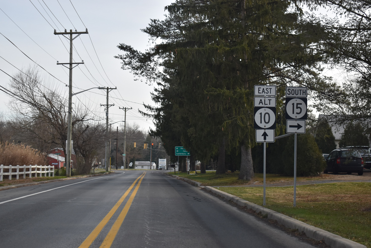
| U.S. 13 ALT leads SR 15 south 1.76 miles to U.S. 13 (Dupont Highway) near Canterbury. Upper King Road takes U.S. 13 ALT north to Main Street through Camden. 12/19/20 |
|
| SR 10 Alt arcs northeast from SR 15 (Upper King Road) and U.S. 13 Alt along Walnut Shade Road to Browns Corner. 12/19/20 |
|
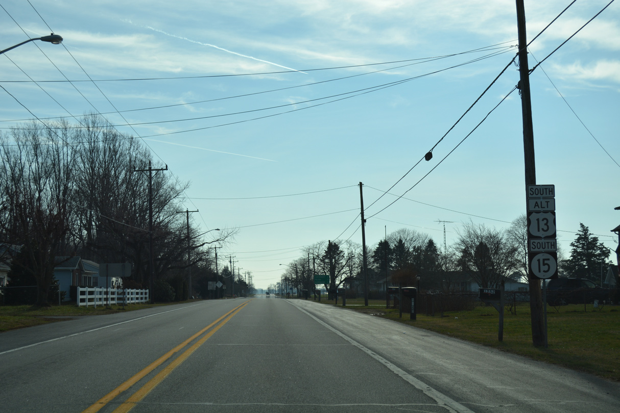
| U.S. 13 Alternate/SR 15 combine for 1.76 miles south from Woodside. 01/15/17 |
|
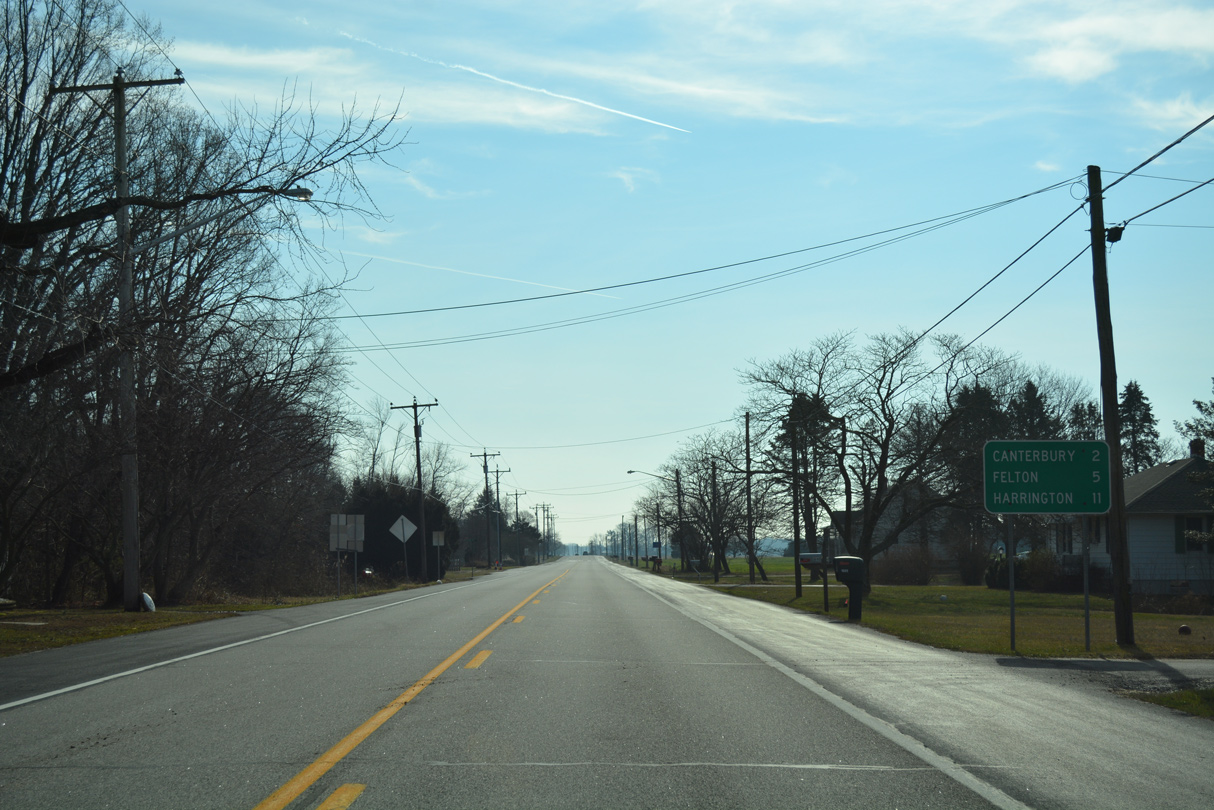
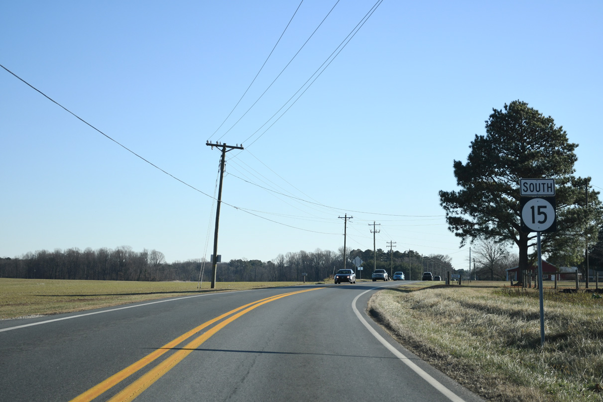
| Canterbury lies just beyond the end of U.S. 13 ALT along SR 15 (Canterbury Road). Felton lies west of U.S. 13 and SR 15 along SR 12. 01/15/17 |
|
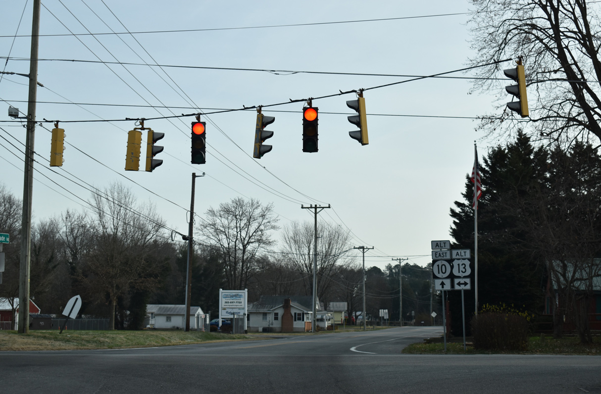
| SR 15 briefly joins U.S. 13 south between Upper King Road and adjacent Canterbury Road. 01/15/17 |
|
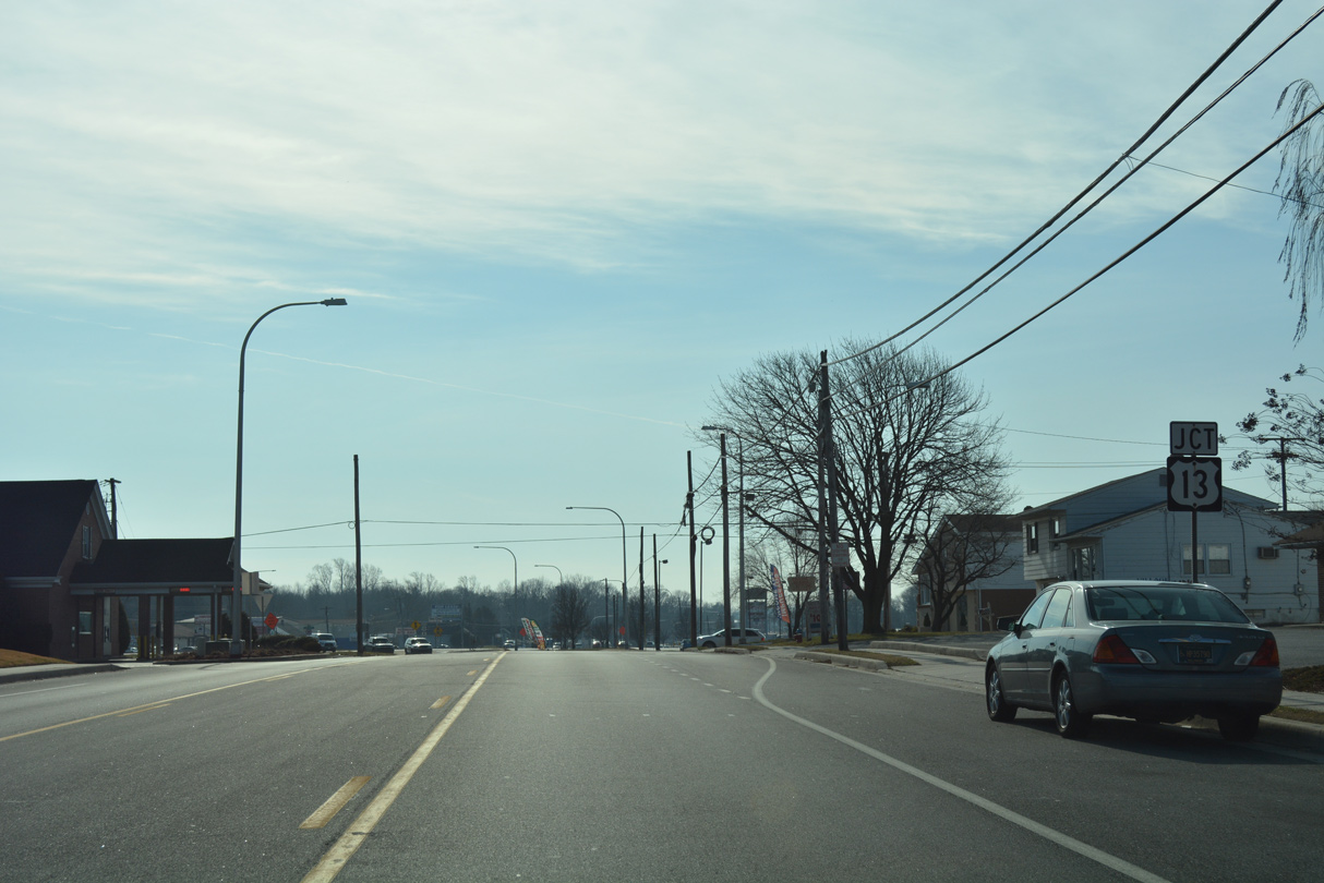
| Upper King Road curves east to intersect U.S. 13 (Dupont Highway) at a 90 degree intersection. U.S. 13 Alternate ends here. 01/15/17 |
|
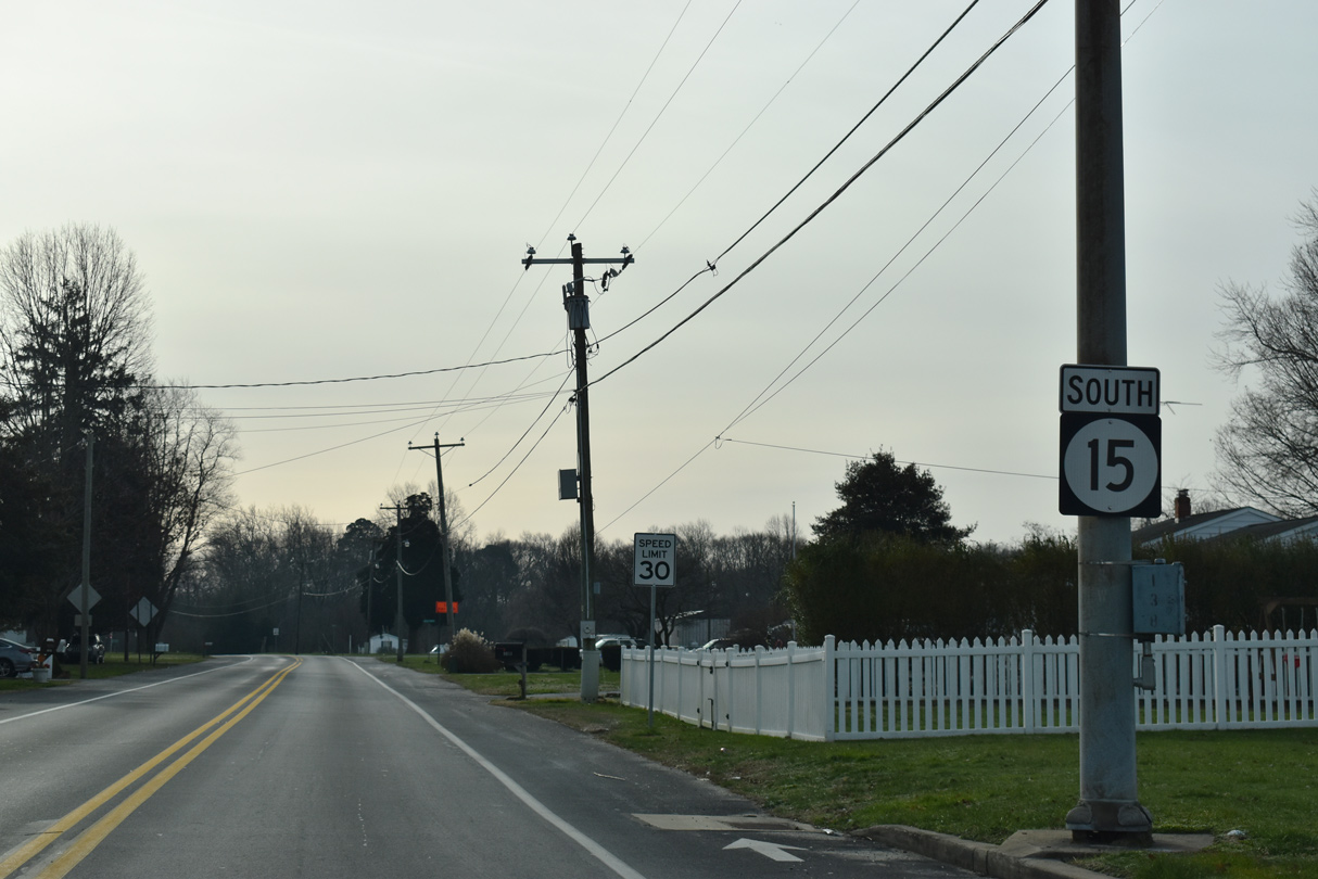
| SR 15 resumes south from U.S. 13 (Dupont Highway) through the Canterbury community. 01/15/17 |
|
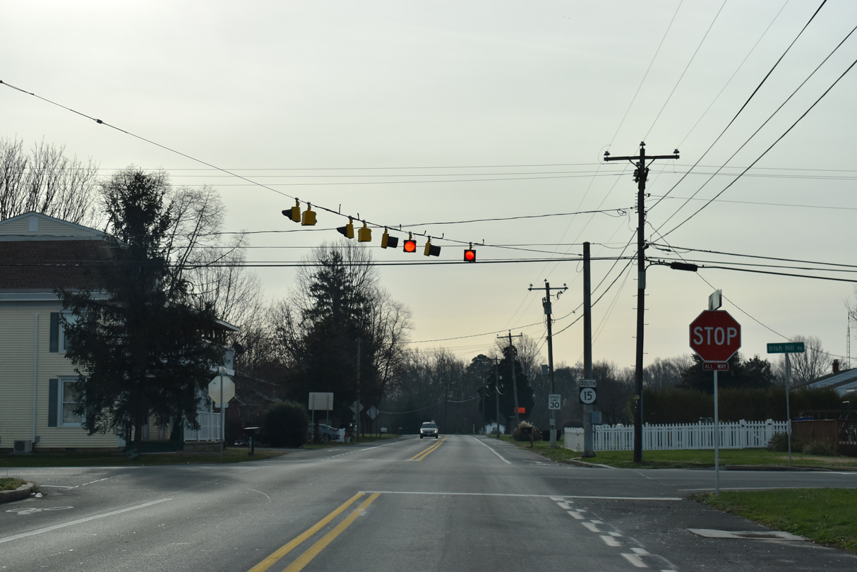
| SR 15 advances 0.22 miles from U.S. 13 (S Dupont Highway) to Irish Hill Road (Rd 31). 12/19/20 |
|
| Irish Hill Road heads west 0.14 miles from SR 15 (Canterbury Road) to U.S. 13 where Evens Road (Rd 32) takes over into the town of Viola. Irish Hill Road serves a bevy of subdivisions east to Magnolia. 12/19/20 |
|
| Canterbury Road passes between a mobile home park and the Woodbury subdivision ahead of Hudson Branch. 12/19/20 |
|
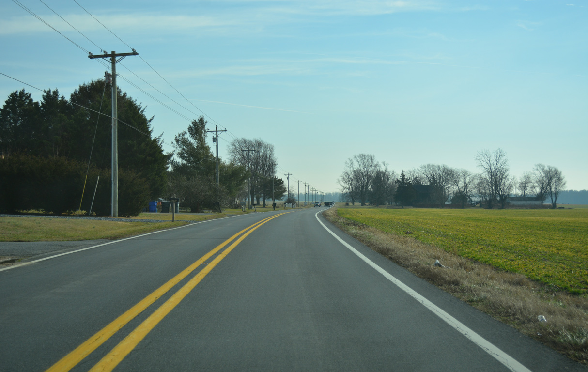
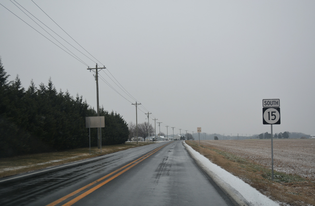
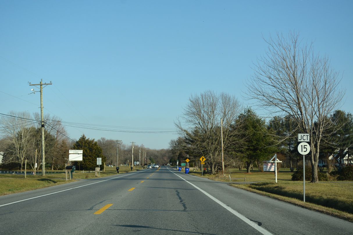
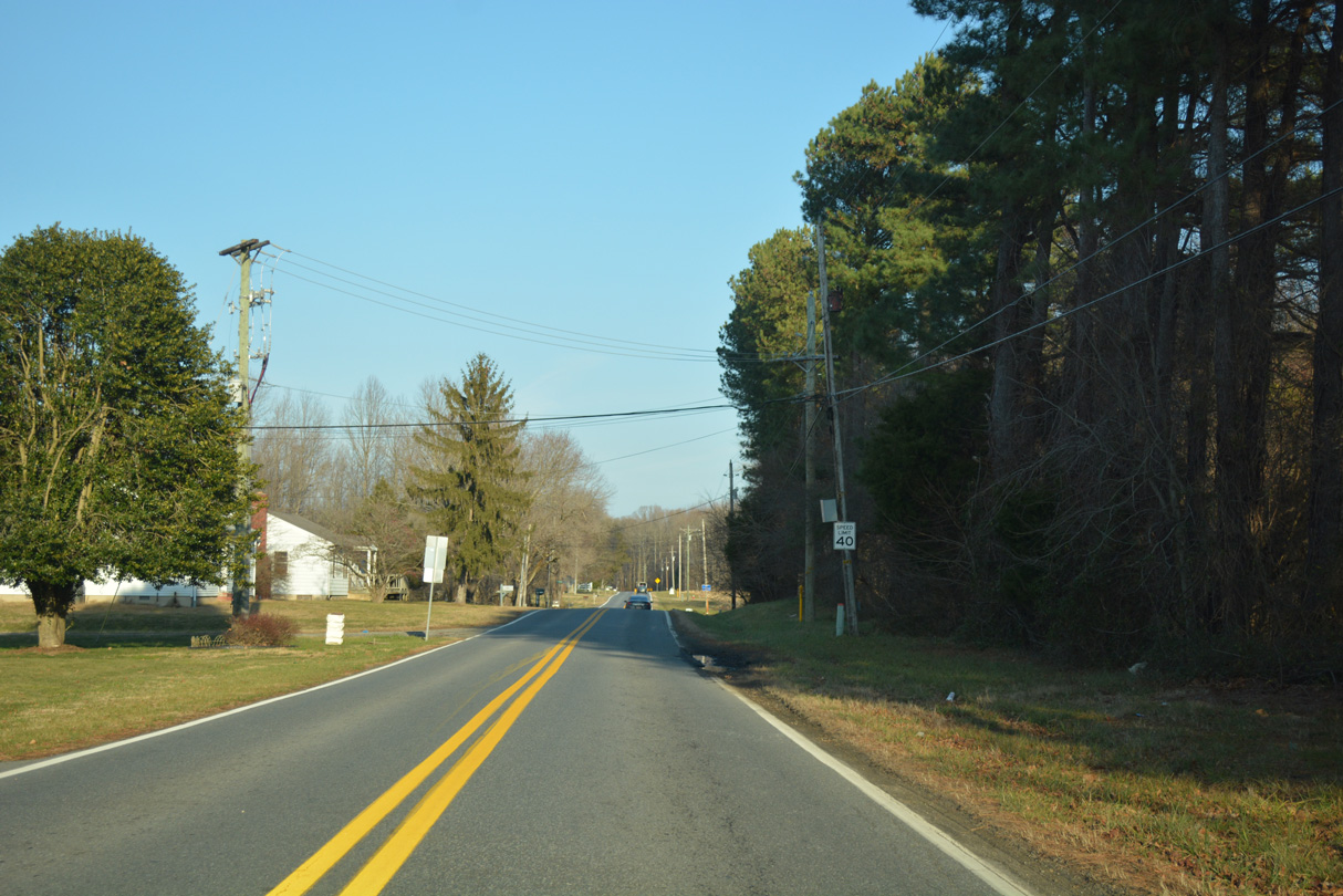
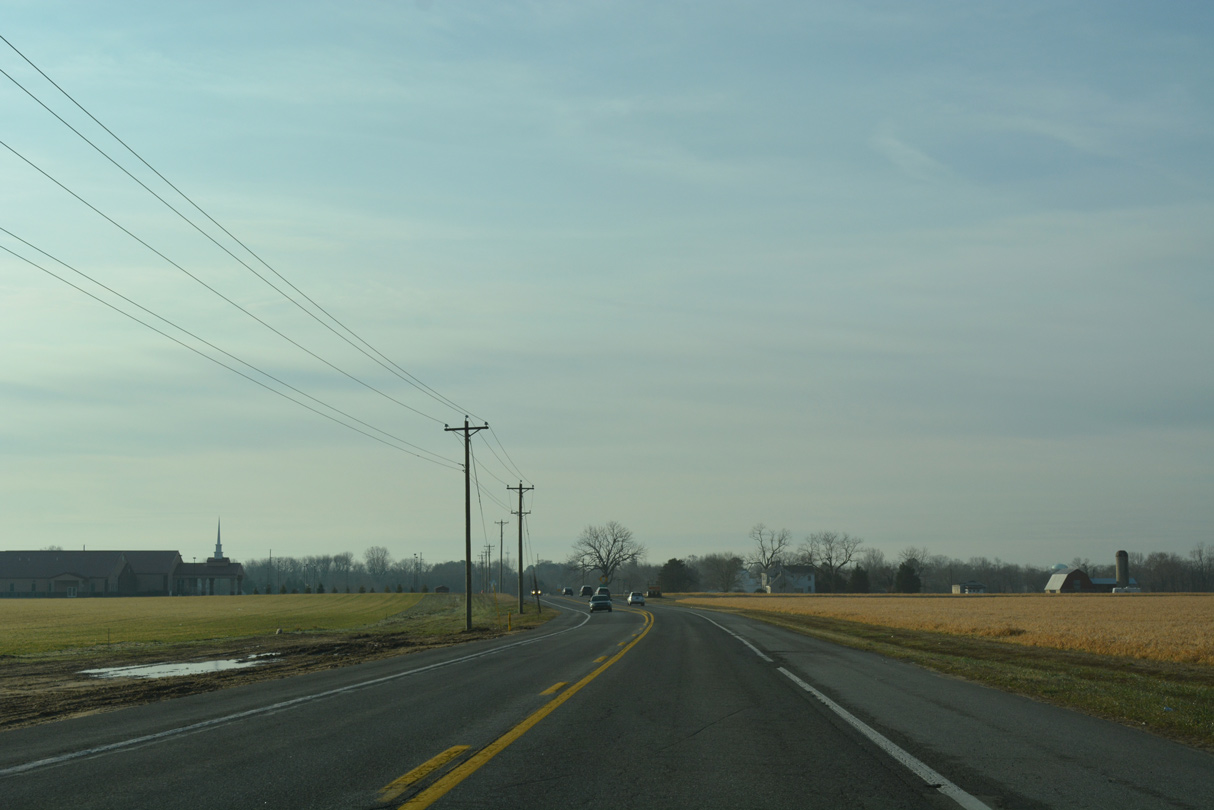
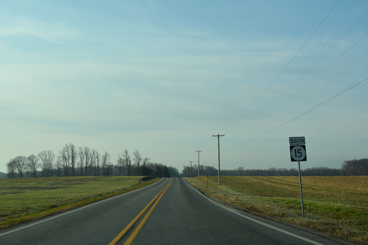
| The landscape along SR 15 (Canterbury Road) opens through agricultural areas south from Andrews Lake Road. 01/15/17 |
|
| Scrap Tavern Road branches south from SR 15 to Killens Pond State Park as Canterbury Road crosses Pratt Branch. 01/15/17 |
|
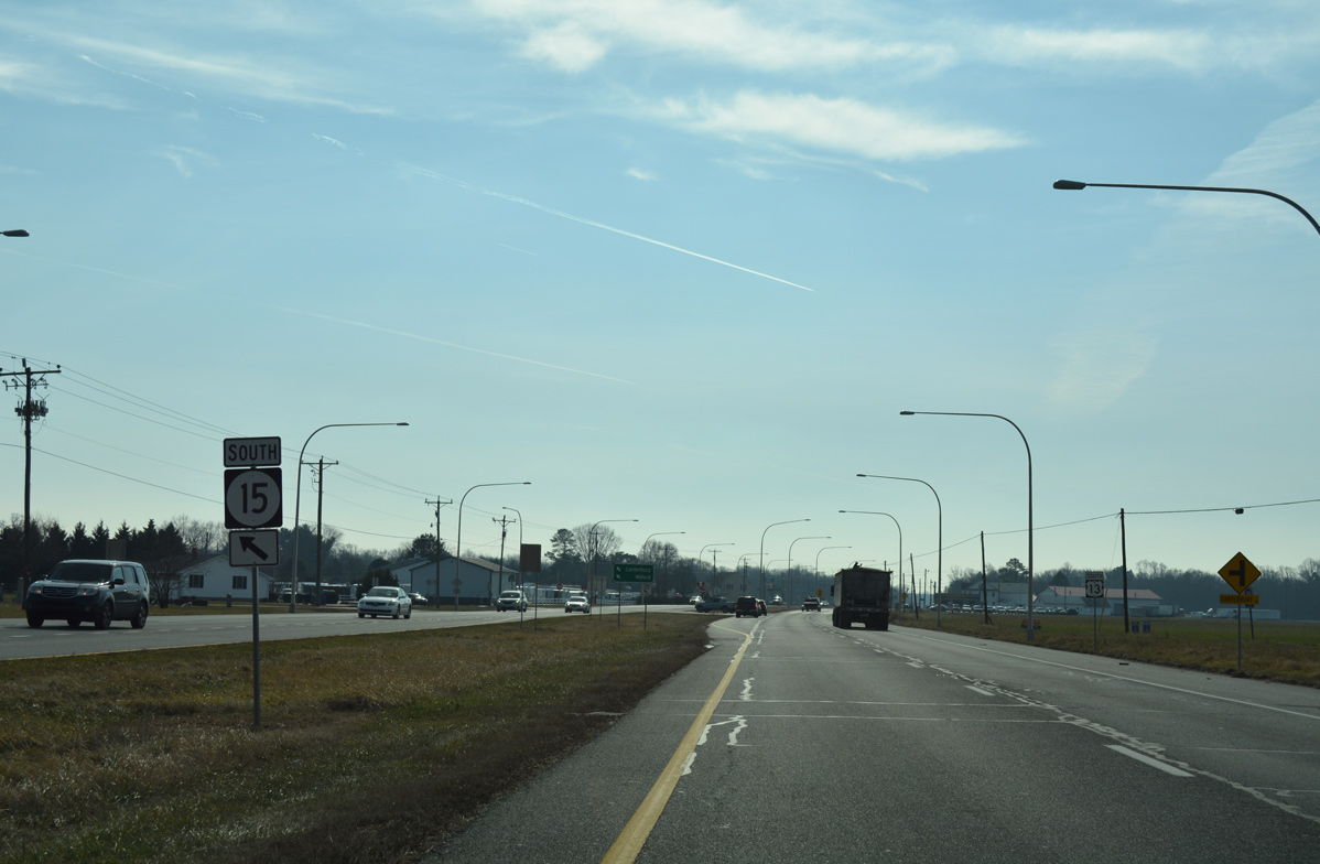
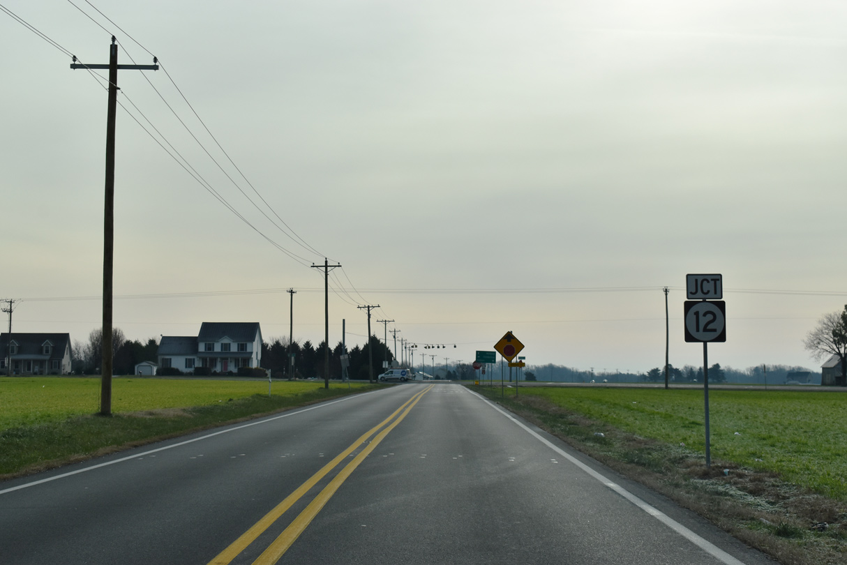
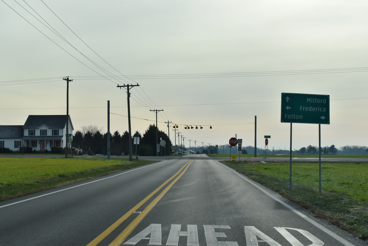
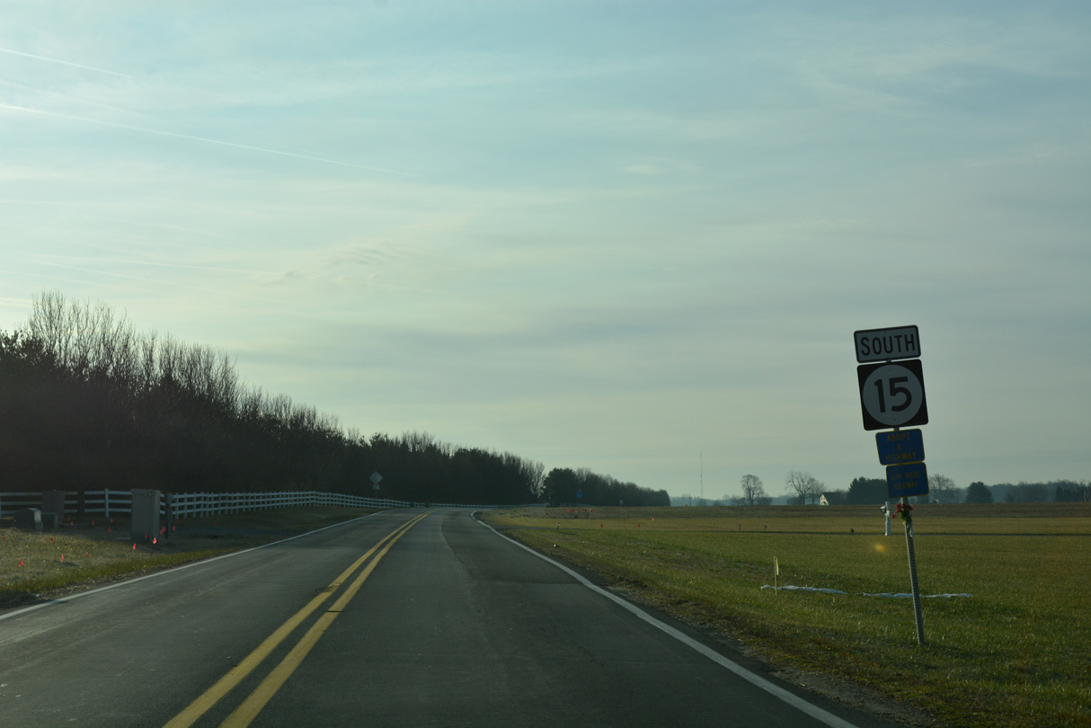
| SR 12 and SR 15 cross paths at rural Scrap Tavern Crossroads. 12/19/20 |
|
| SR 12 (Midstate Road) leads west to U.S. 13 (Dupont Highway) at the town of Felton. SR 12 east continues by a number of subdivisions to the town of Frederica. 12/19/20 |
|
| SR 12 goes for 16.19 miles between MD 314 at Whiteleysburg and SR 1 (Bay Road) to the north of Frederica. 12/19/20 |
|
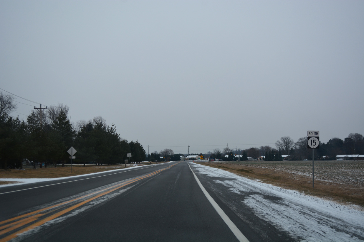
| SR 15 advances south from Midstate Road across farmland to Coursey Pond. 12/30/17 |
|
| Forthcoming Carpenter Bridge Road joins U.S. 13 outside the city of Harrington with SR 12 east into the town of Frederica. 12/30/17 |
|
| SR 15 (Canterbury Road) continues south from Carpenter Bridge Road to McCauley Pond. 12/30/17 |
|
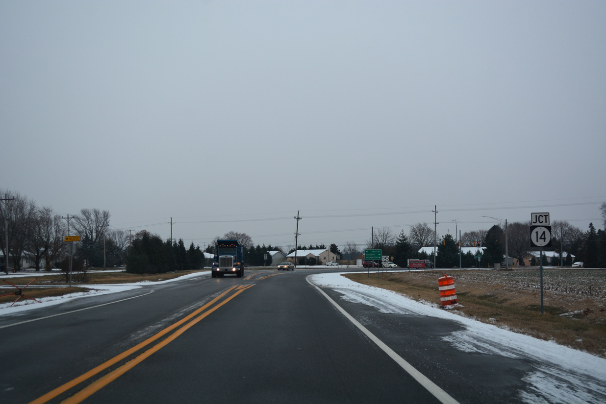
| The final reassurance marker for SR 15 south appears after the intersection with Airport Road in Milford. 12/30/17 |
|
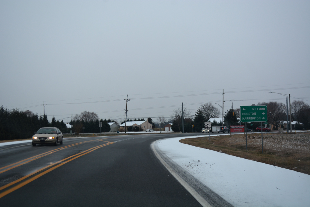
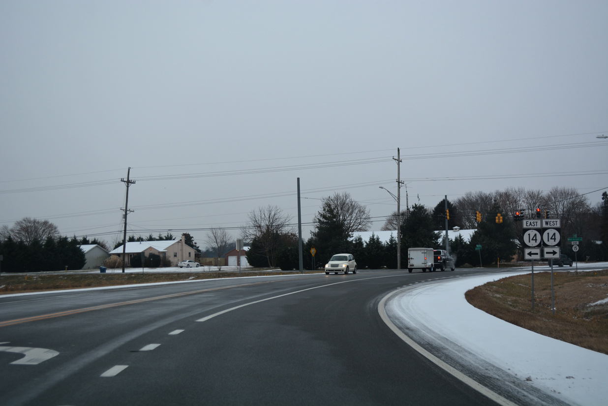
| SR 15 (Canterbury Road) ends at the suburban northwest side of Milford at SR 14 (Milford Harrington Highway). 12/30/17 |
|
| SR 14 (Milford Harrington Highway) takes a rural route west from Milford by the town of Houston to U.S. 13 in the city of Harrington. 12/30/17 |
|
| Traveling 19.12 miles overall, SR 14 west ends as MD 317 ahead of Denton. The state route east concludes where NE Front Street meets the Milford Bypass (SR 1). 12/30/17 |
|
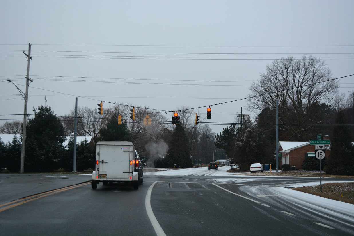
| An end shield accompanies the signalized intersection of SR 15 south with Milford Harrington Highway. Holly Hill Road extends southwest from SR 14 to School Street west to Houston and Williamsville Road on the outskirts of west Milford. 12/30/17 |
12/28/16, 01/15/17, 01/16/17, 12/30/17, 12/18/20, 12/19/20, 12/28/20, 08/17/21 by AARoads
Page Updated 11-02-2022.


 South
South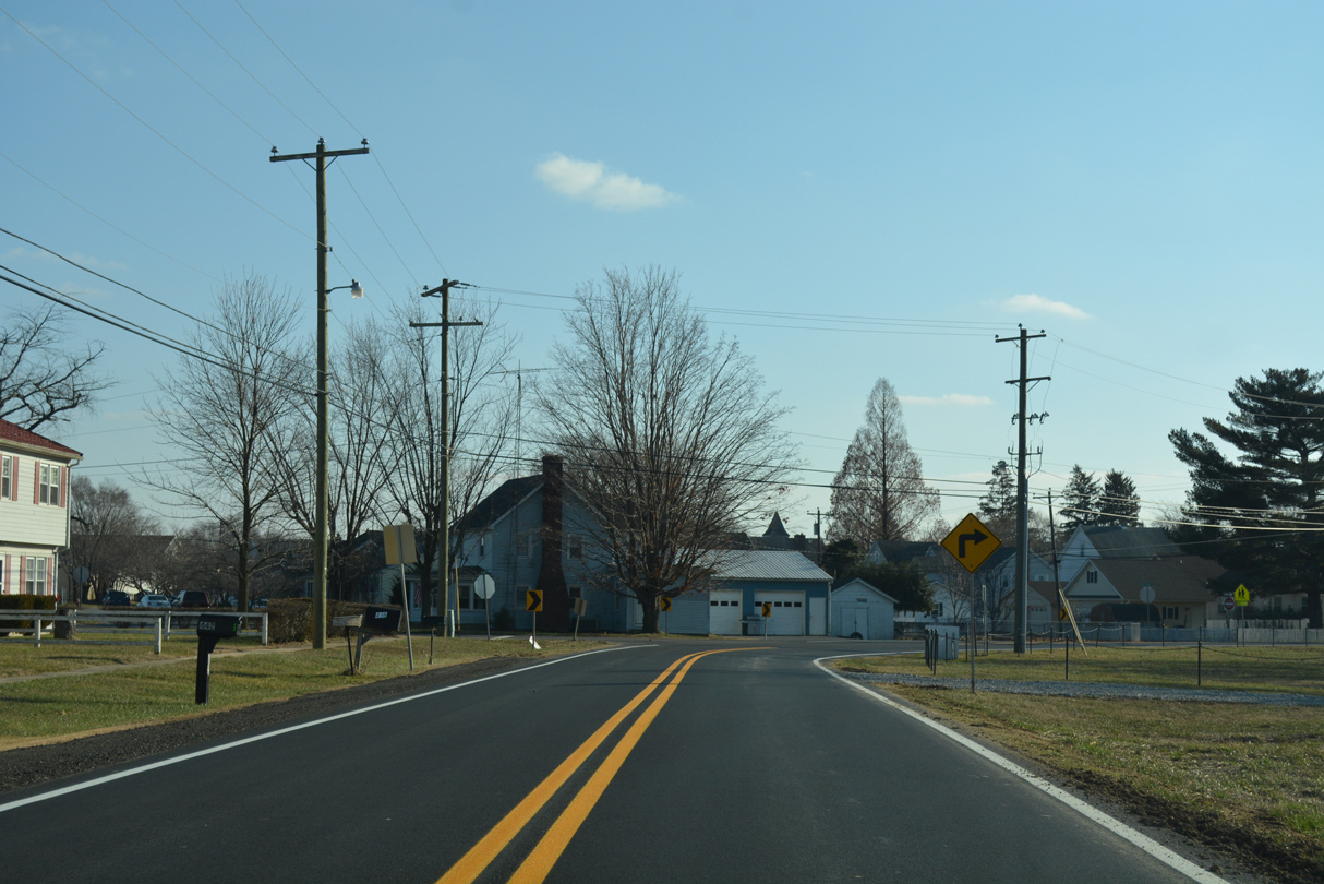
 West
West 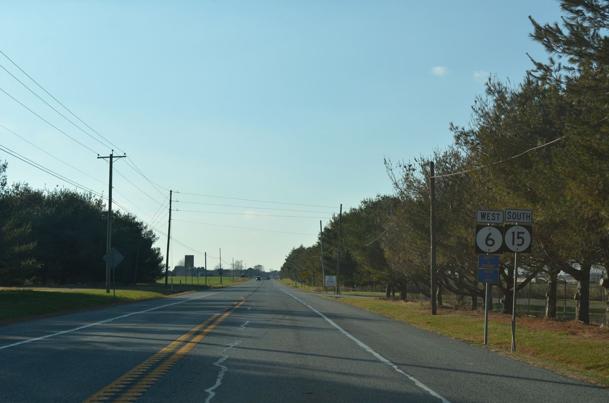

 East
East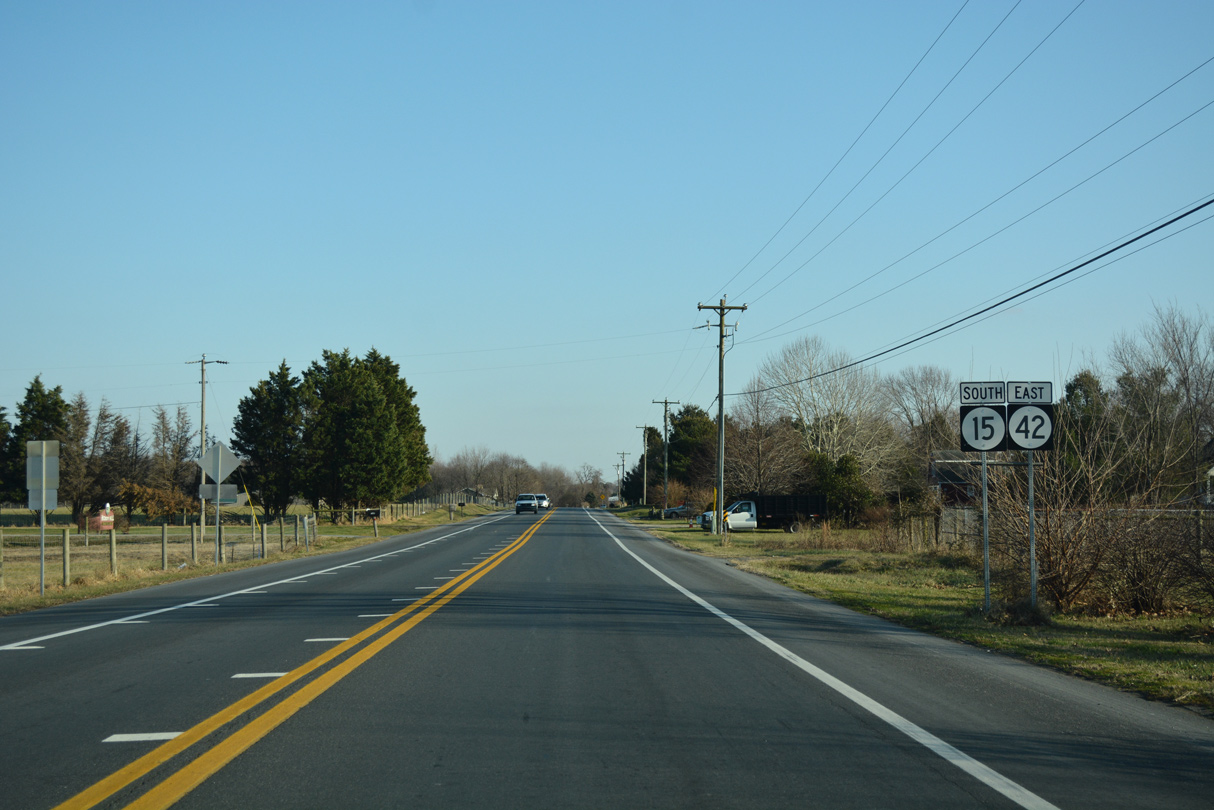

 East
East