|
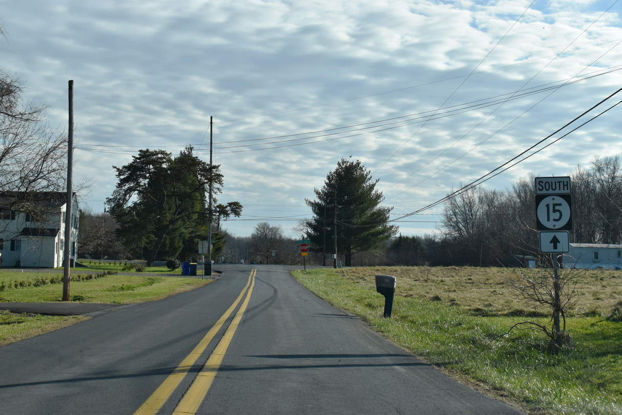
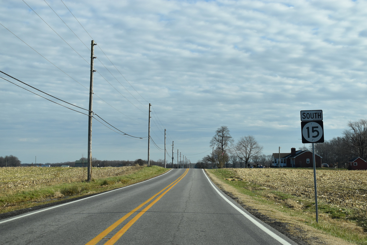
| SR 15 branches southwest from SR 71/896 (Summit Bridge Road) along Bethel Church Road. This is the first confirming marker. 12/16/17 |
|
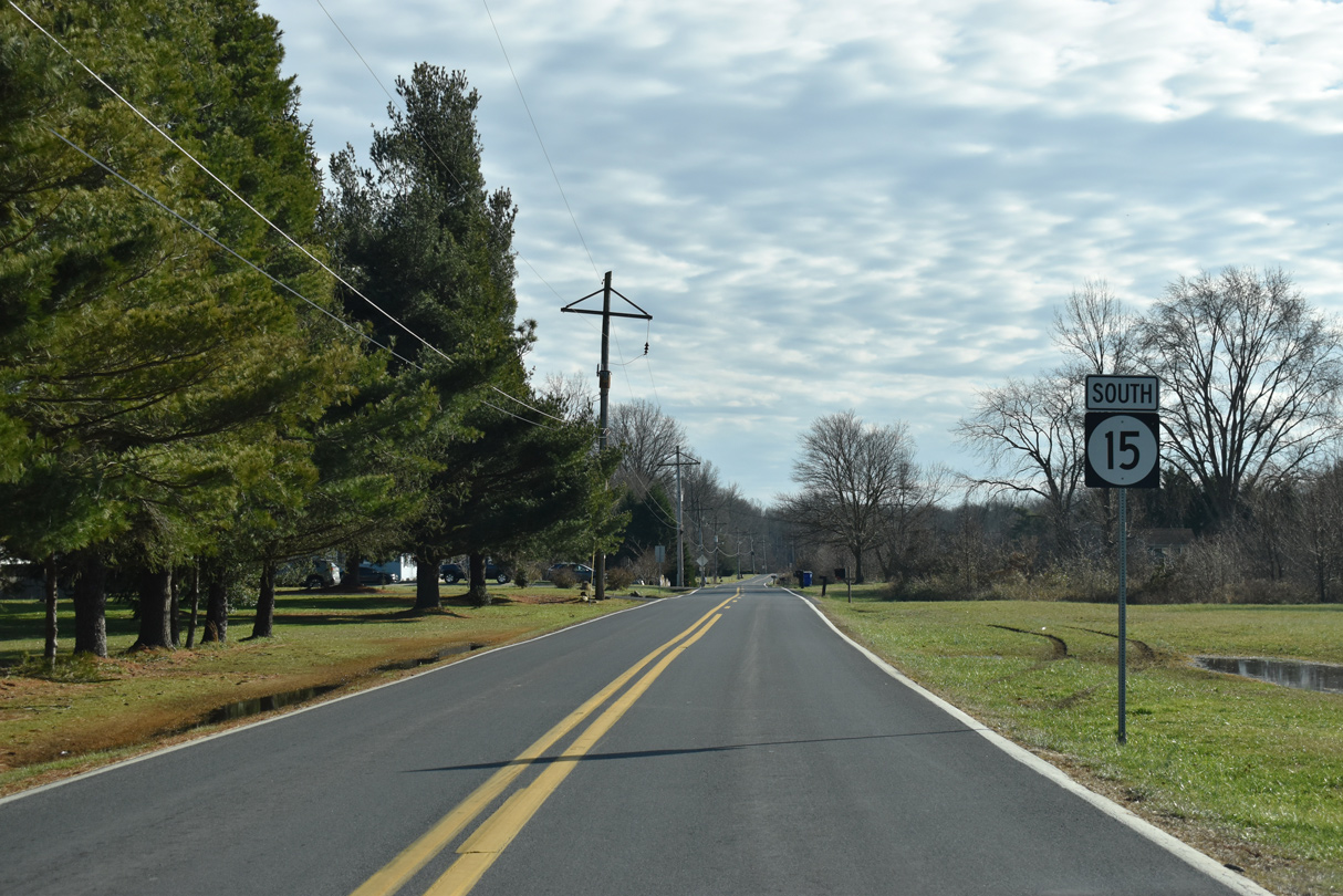
| Approaching SR 286 (Bethel Church Road) on SR 15 southbound. SR 286 was commissioned in 1993 to link SR 15 (Bethel Church Road) with MD 286 (Bethel Road) and South Chesapeake City, Maryland. Bethel Church Road extends west along the state route from SR 15. 12/16/17 |
|
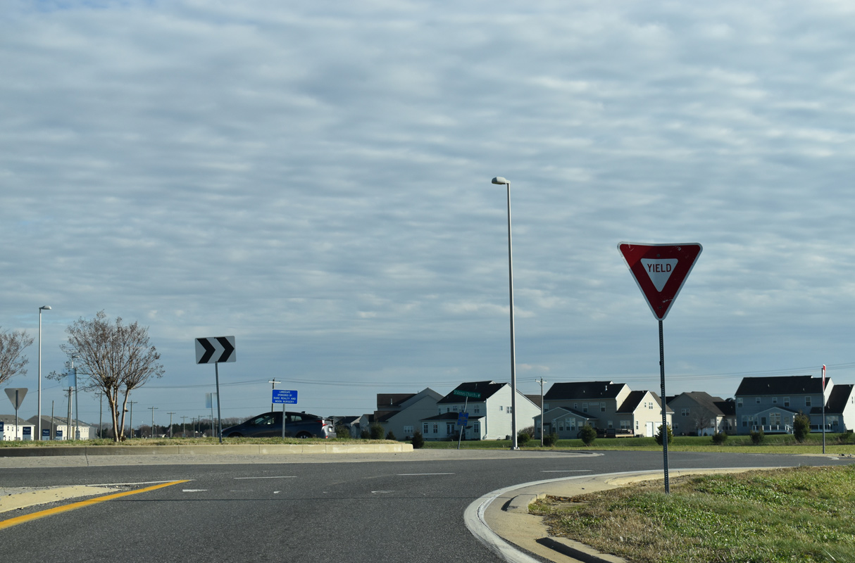
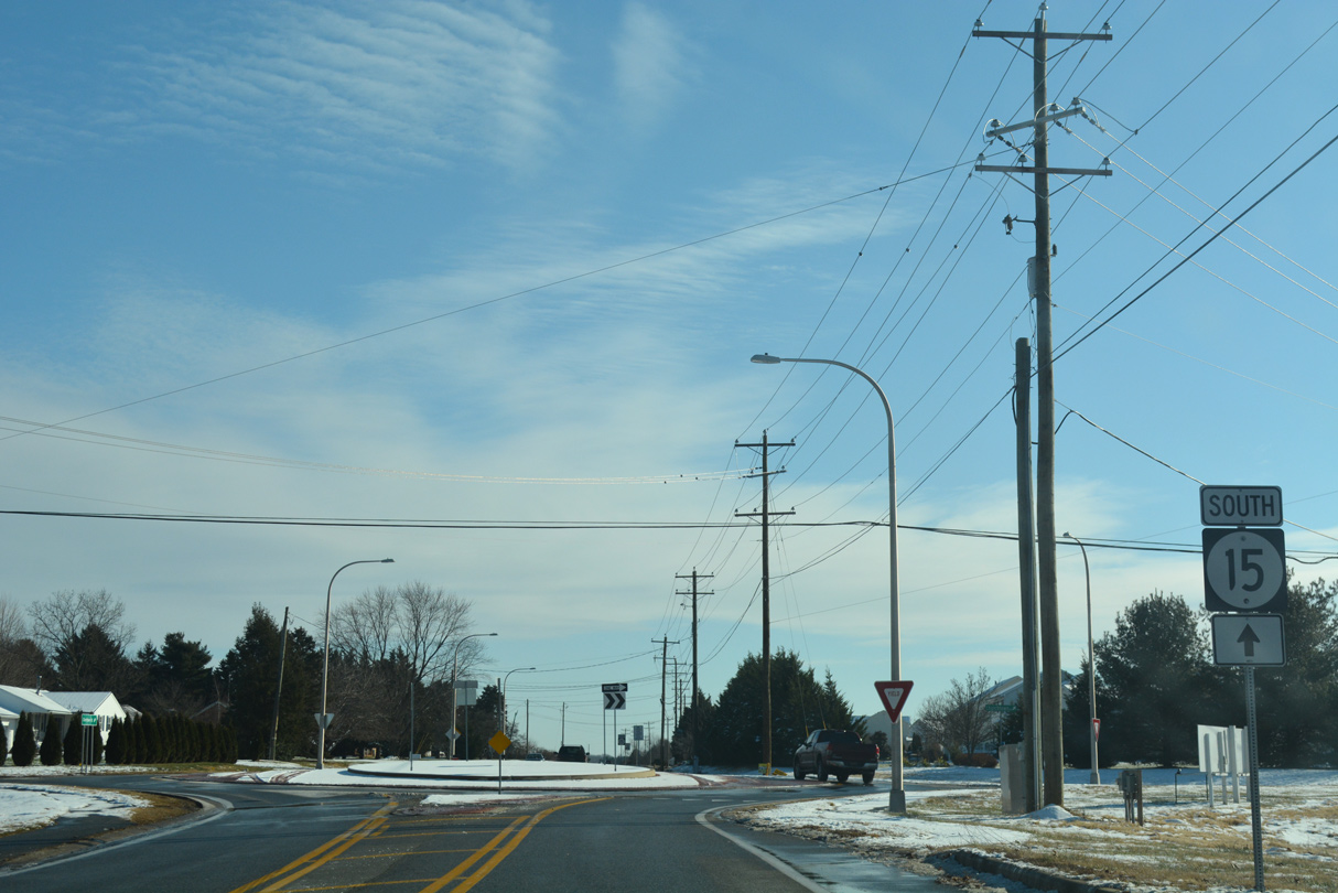
| The T-intersection at Bethel Church and Choptank Roads was rebuilt into a roundabout as part of a multiyear improvement project along SR 15 south to Middletown. The 4.8 mile project from Summer 2006 to Spring 2010 expanded Choptank Road to two eleven foot travel lanes with five foot shoulders.1 12/16/17 |
|
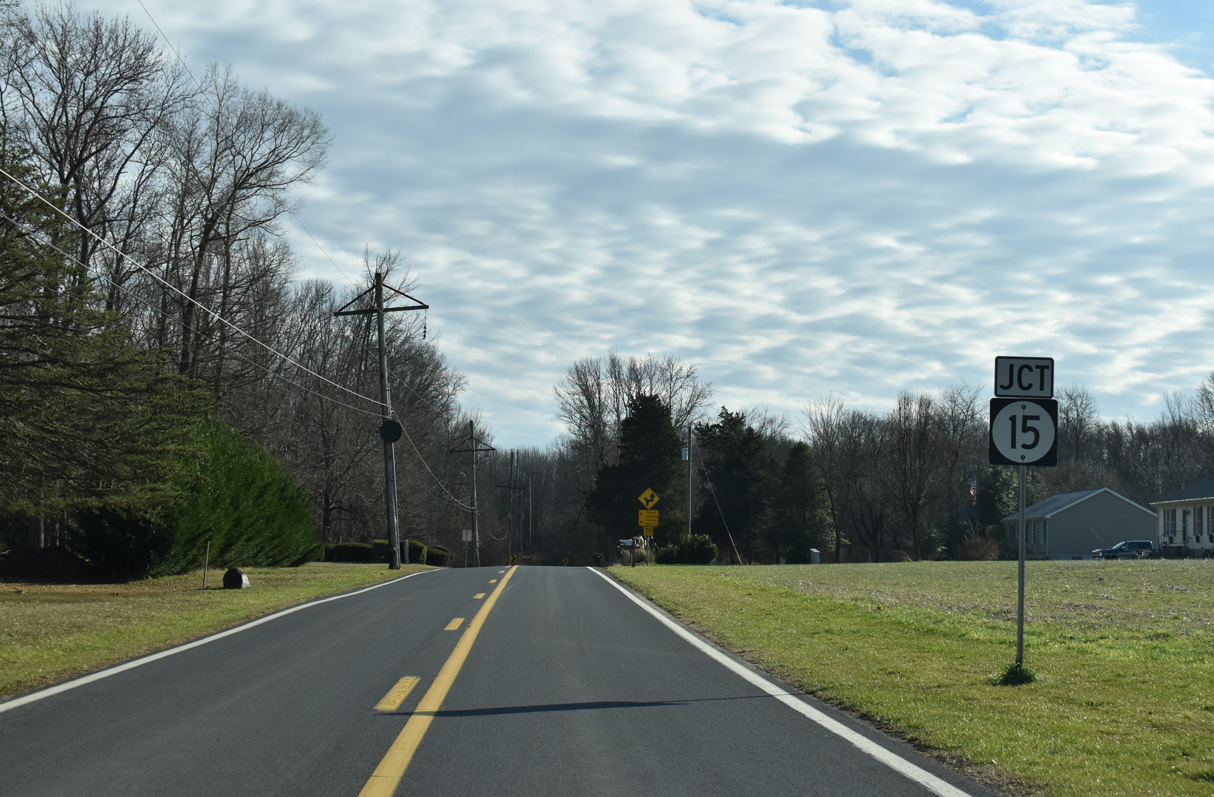
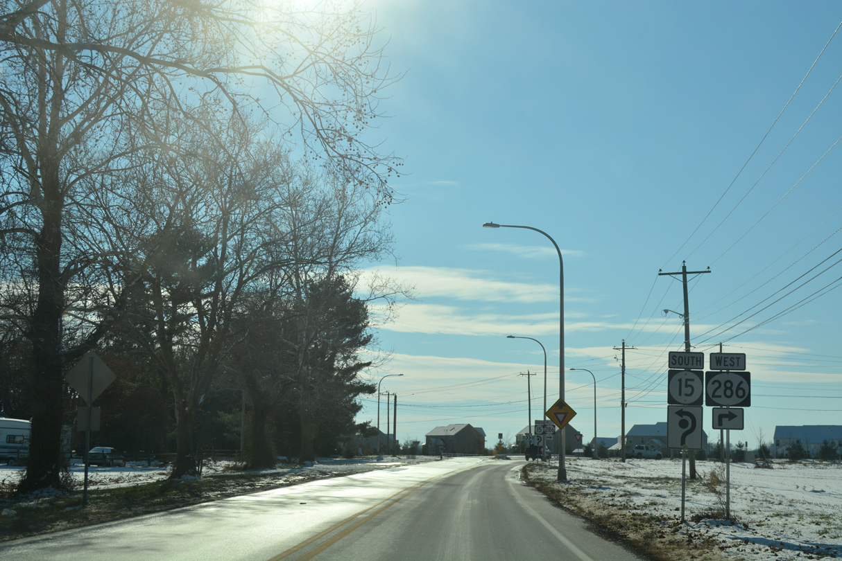
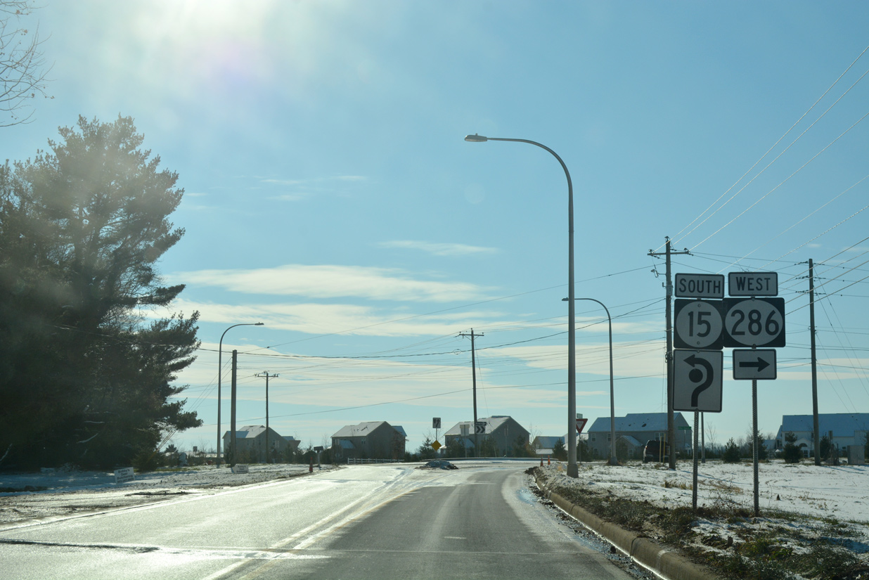
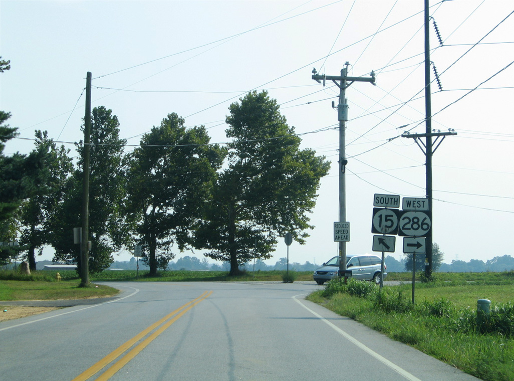
| The previous intersection of SR 15 and SR 286. SR 286 leads west 1.73 miles to become MD 286. MD 286 runs 2.09 miles west to MD 537 (George Street) in South Chesapeake City. 08/10/04 |
|
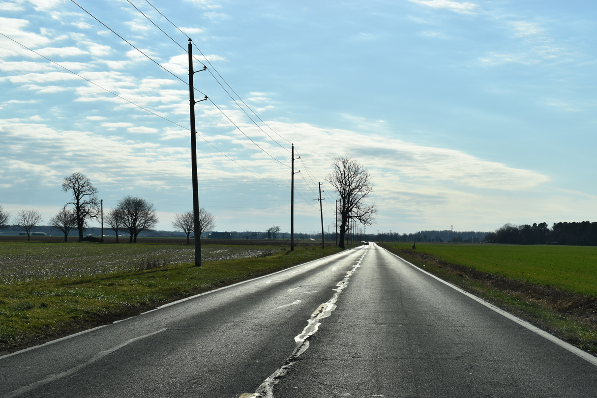
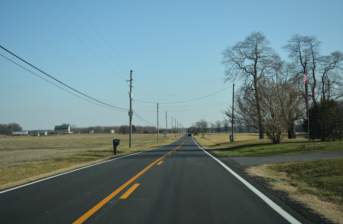
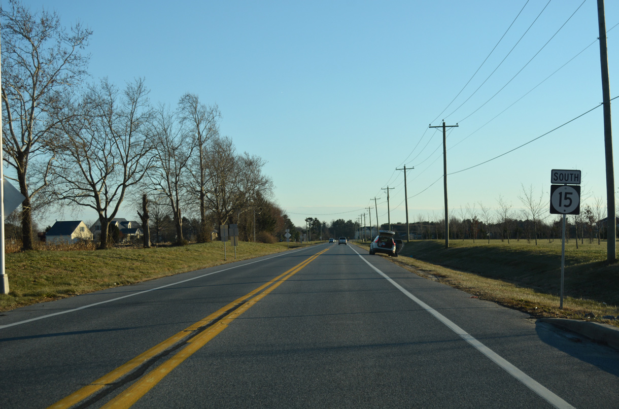
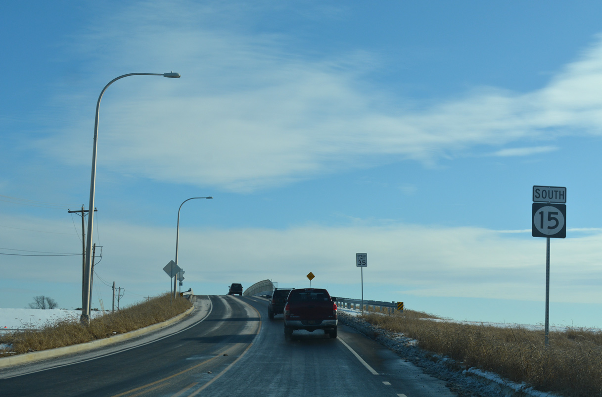
| Continuing south from SR 286, SR 15 (Choptank Road) crosses Back Creek to the Back Creek golf course community. 12/26/17 |
|
| Churchtown Road stems westward from Mount Pleasant, where SR 71 and SR 896 meet, 3.82 miles to the Maryland state line. The minor collector (Rd 432) becomes MD 310 (Cayots Corner Road) en route to St. Augustine and Cayots. 12/16/17 |
|
| The intersection at SR 15 and Churchtown Road was converted into a roundabout during the 2006-10 rebuild of Choptank Road. 12/16/17 |
|
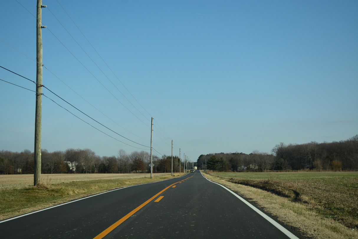
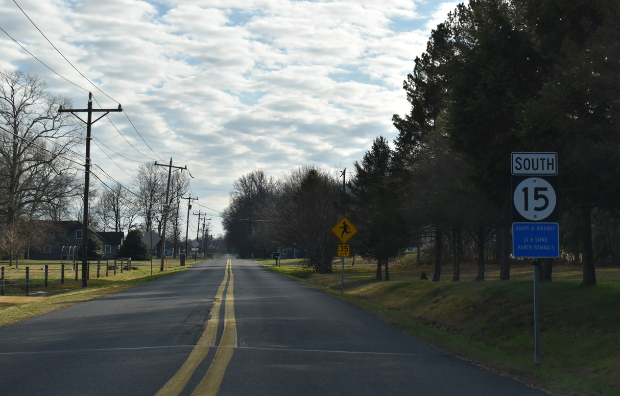
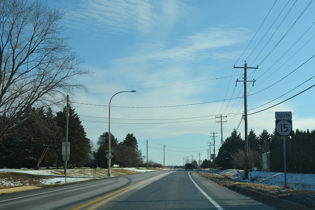
| SR 15 (Choptank Road) runs along the east side of the Fox Hunter Crossing subdivision south from Churchtown Road and this reassurance marker. 12/16/17 |
|
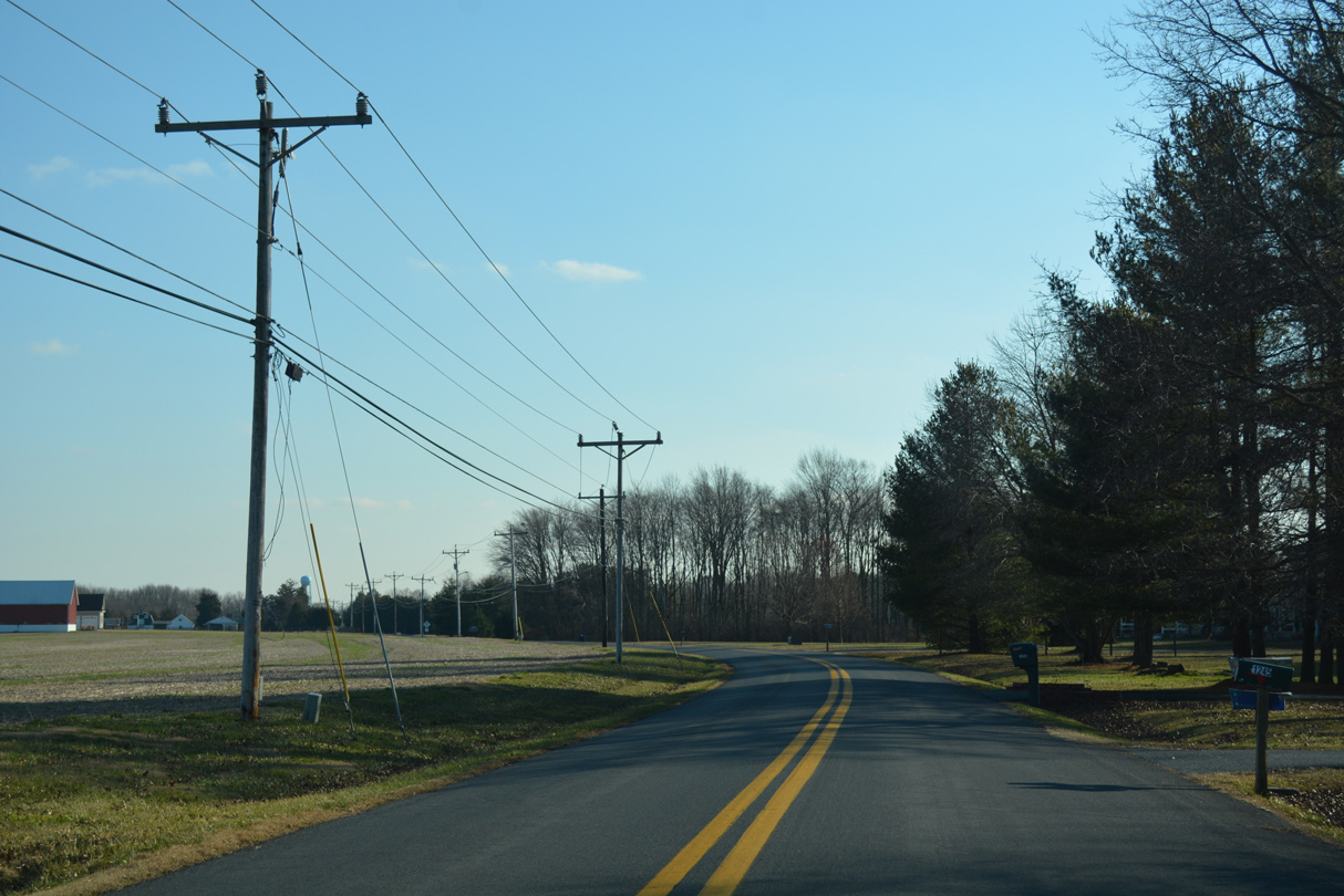
| Old School House Road links SR 15 with SR 71/896 (Summit Bridge Road) ahead of this scene along Choptank Road southbound. 12/15/17 |
|
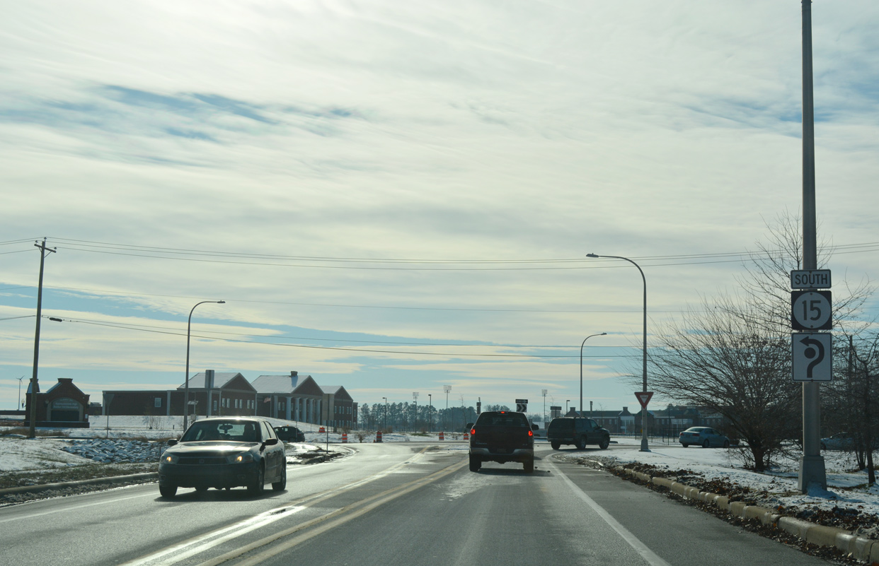
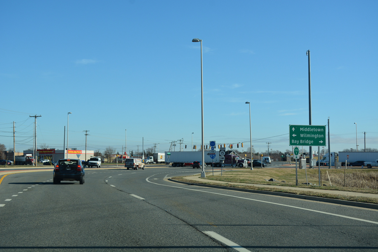
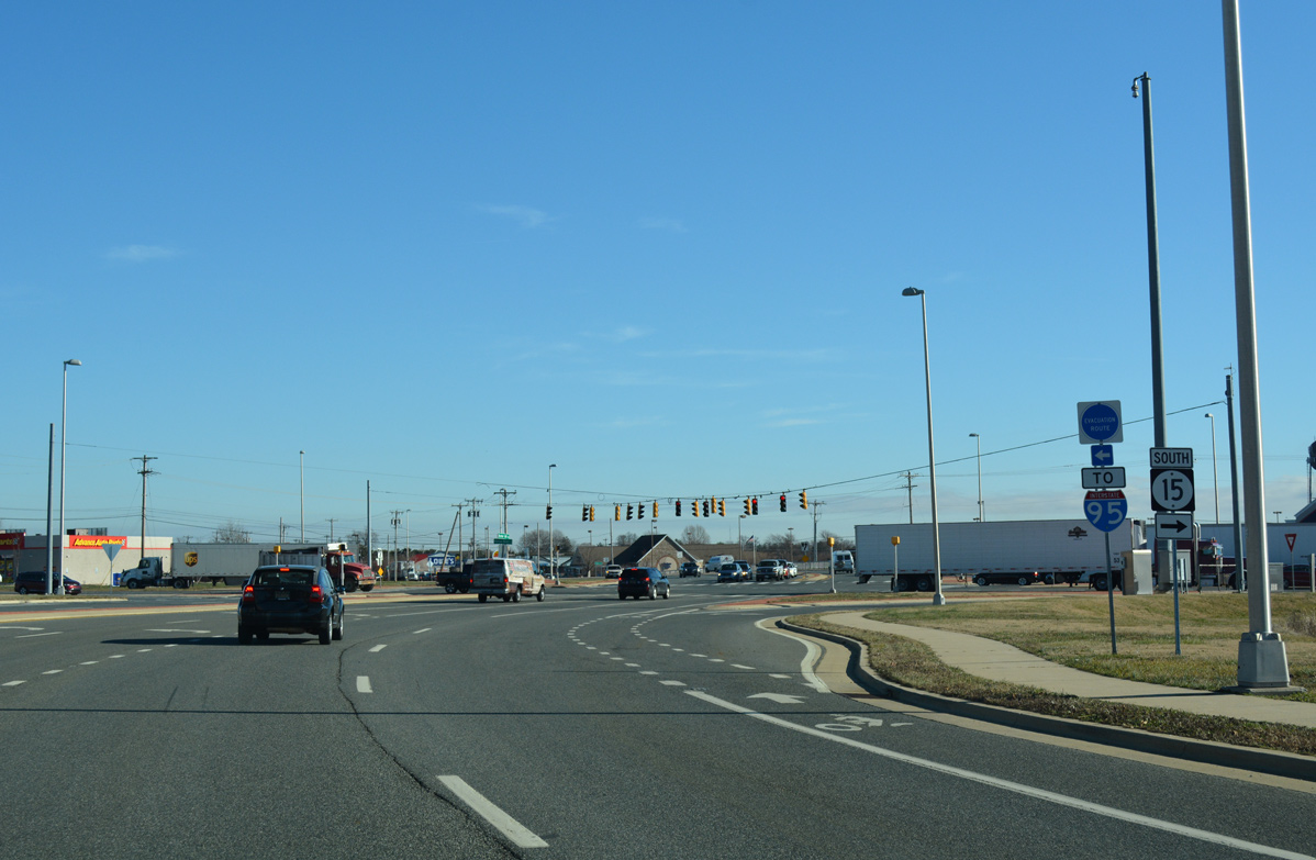
| Completed in January 2019, SR 15 parallels the U.S. 301 toll road bypassing Middletown southward from Bohemia Mill Road. 12/15/17 |
|
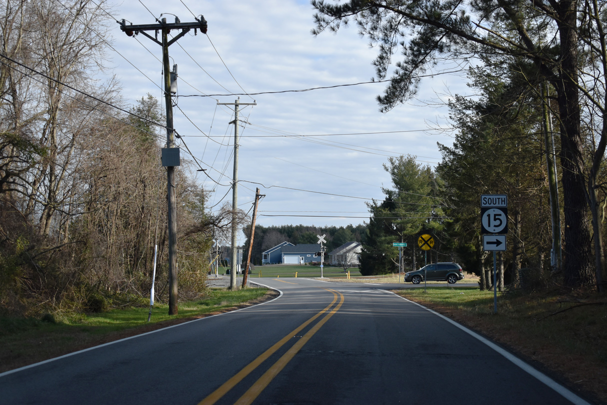
| A third roundabout added to SR 15 joins the south end of Choptank Road with Bunker Hill Road and the access road to Appoquinimink High School and Bunker Hill Elementary. 12/15/17 |
|
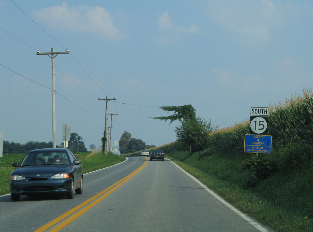
| SR 15 turns east from Choptank Road along Bunker Hill Road. This scene looks at the state route before construction of the adjacent school complex. Appoquinimink High School opened in 2008. 08/10/04 |
|
| Construction underway through January 2019 realigned U.S. 301 onto a limited access toll road around Middletown. SR 15 (Bunker Hill Road) crosses over the highway just east of Choptank Road. 12/15/17 |
|
| Bunker Hill Road expands with a paved median by the Parkway at South Ridge town home community and Bunker Hill Center to SR 299 at Middletown Warwick Road (old U.S. 301) and W Main Street. Middletown Warwick Road north to SR 71 en route to Mount Pleasant. 12/15/17 |
|
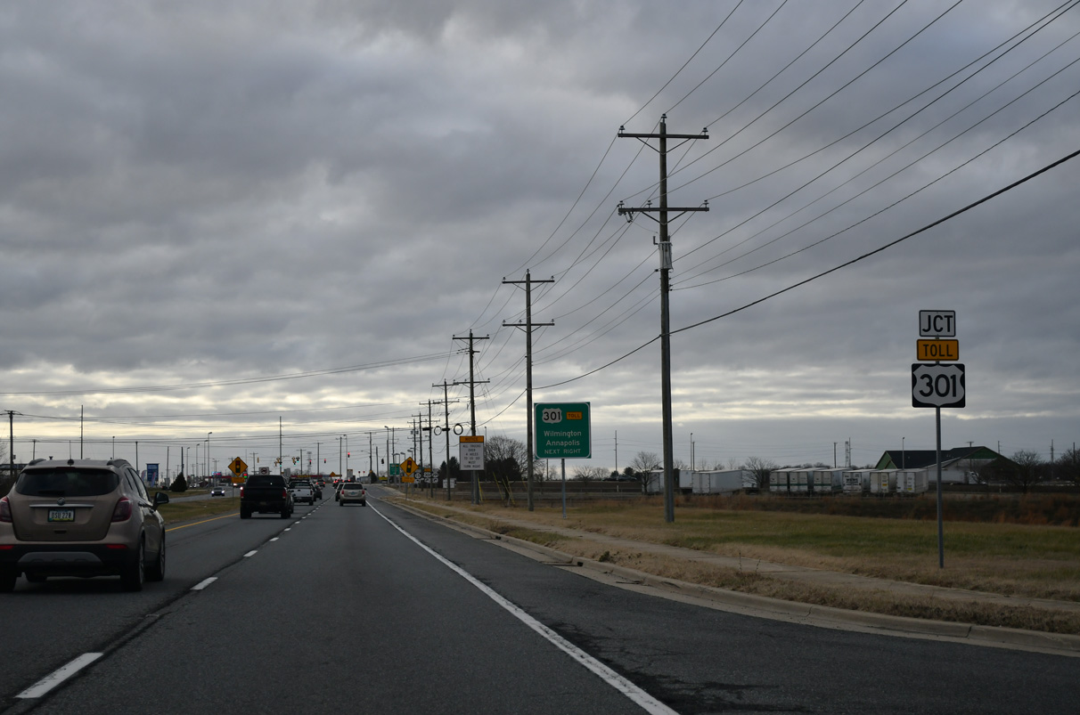
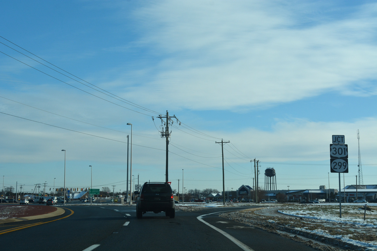
| SR 299 turns east from Middletown Warwick Road (old U.S. 301) onto Main Street opposite SR 15 (Bunker Hill Road). SR 299 continues to Downtown Middletown and Odessa. U.S. 301 south connects Middletown and New Castle County with the Chesapeake Bay Bridge (U.S. 50). 12/20/16 |
|
| SR 15 accompanies SR 299 (Middletown Warwick Road) south for 1.22 miles to Levels Road. SR 71 north to SR 896 across the Summit Bridge leads motorists 15 miles to Interstate 95 at Newark. 12/20/16 |
|
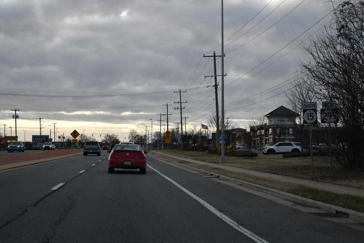
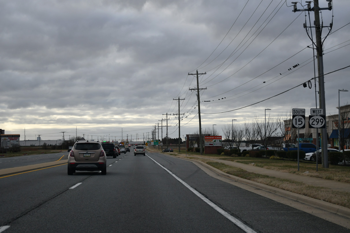
| SR 15 south / SR 299 west combine through a commercial strip anchored by several big box retail stores. The two routes overlap for 1.05 miles. 12/16/17 |
|
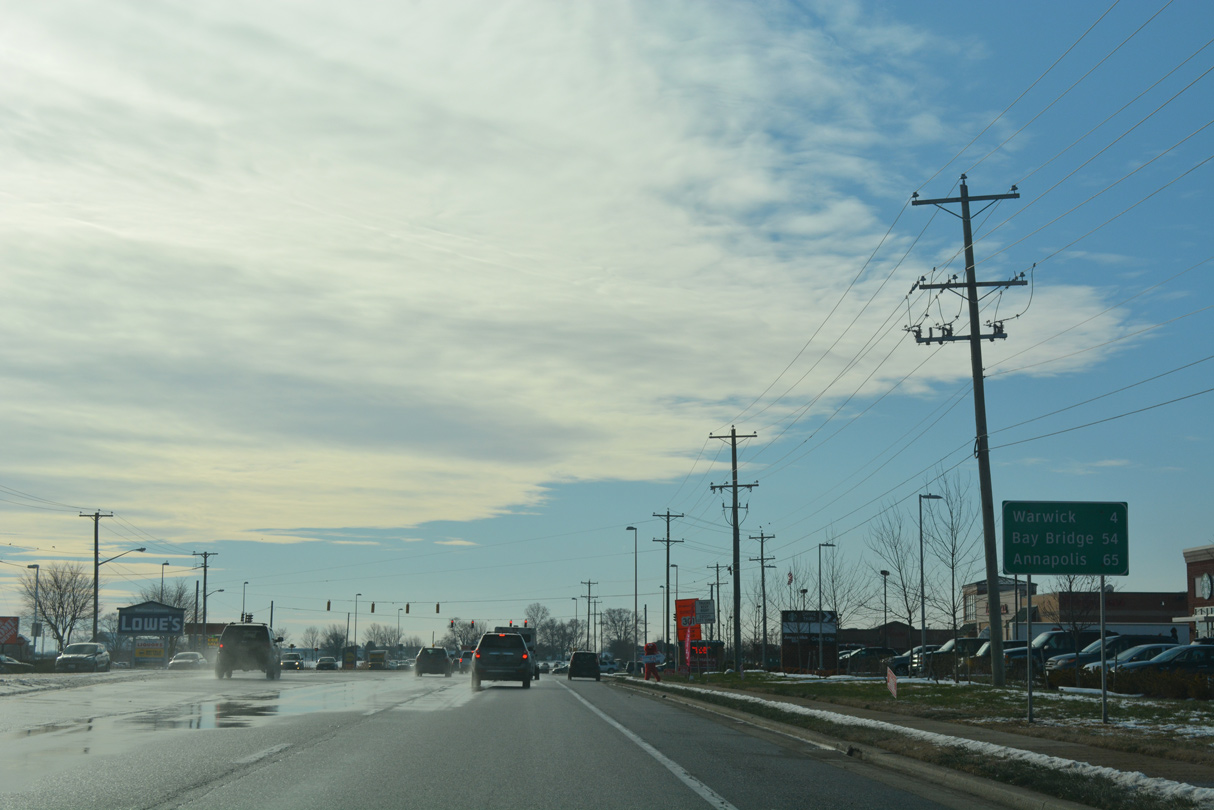
| SR 299 advances four miles southwest from Middletown to Warwick. The Chesapeake Bay Bridge and Annapolis, Maryland lie 54 and 65 miles southwest via the continuation of U.S. 301 through the Eastern Shore. 12/16/17 |
|
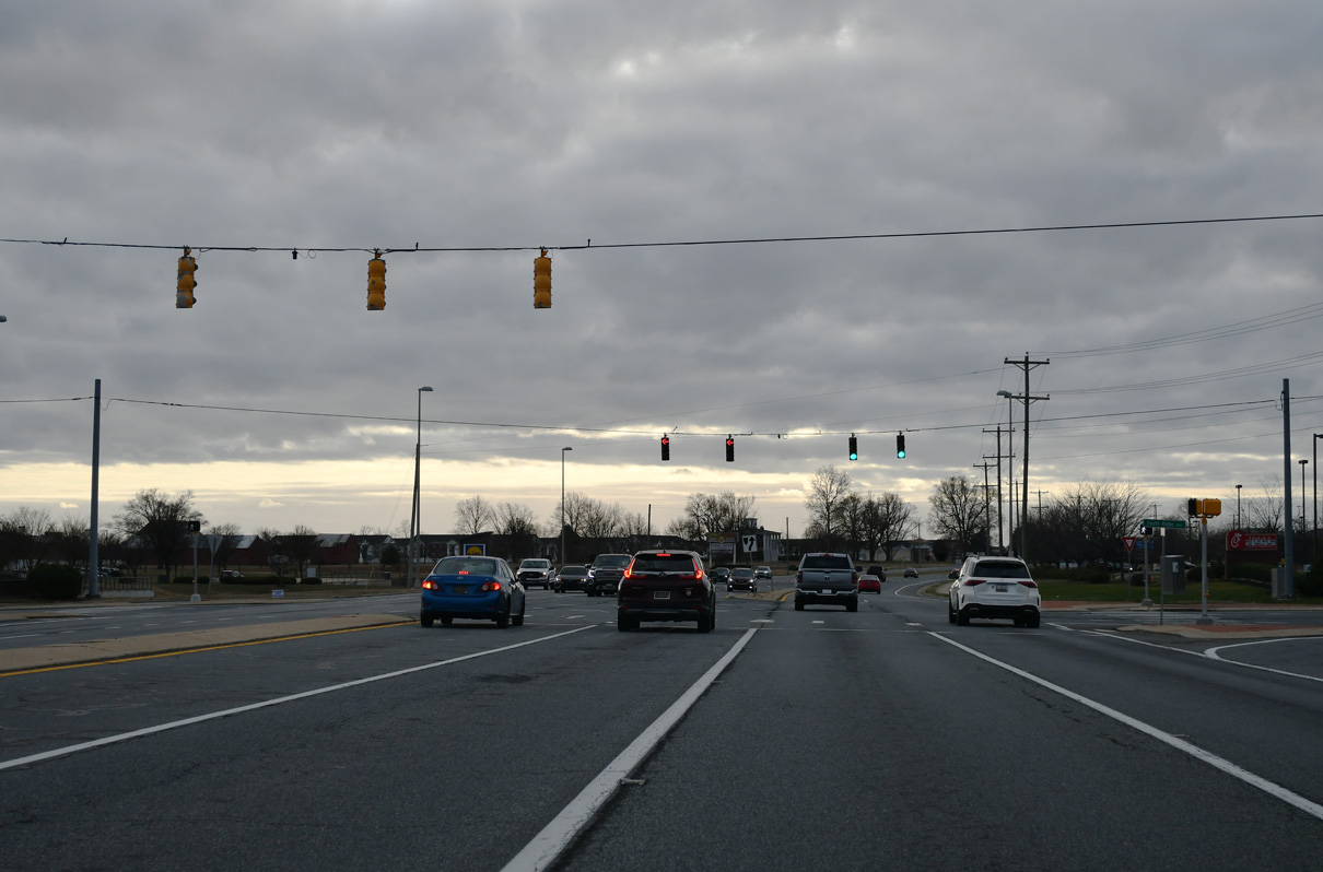
| South Ridge Avenue and Diamond State Boulevard come together at SR 15/299 (Middletown Warwick Road) at the succeeding traffic light. South Ridge Avenue provides one of three entrances to the South Ridge development. 12/16/17 |
|
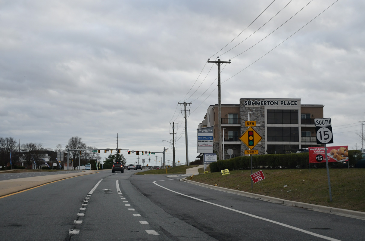
| Reassurance markers posted along Middletown Warwick Road west after South Ridge Avenue. 12/16/17 |
|
| Merrimac Avenue acrs southwest from SR 15 (Bunker Hill Road) through the South Ridge development to cross SR 15/299 south to an Amazon Fulfillment Center and Industrial Road. 12/16/17 |
|
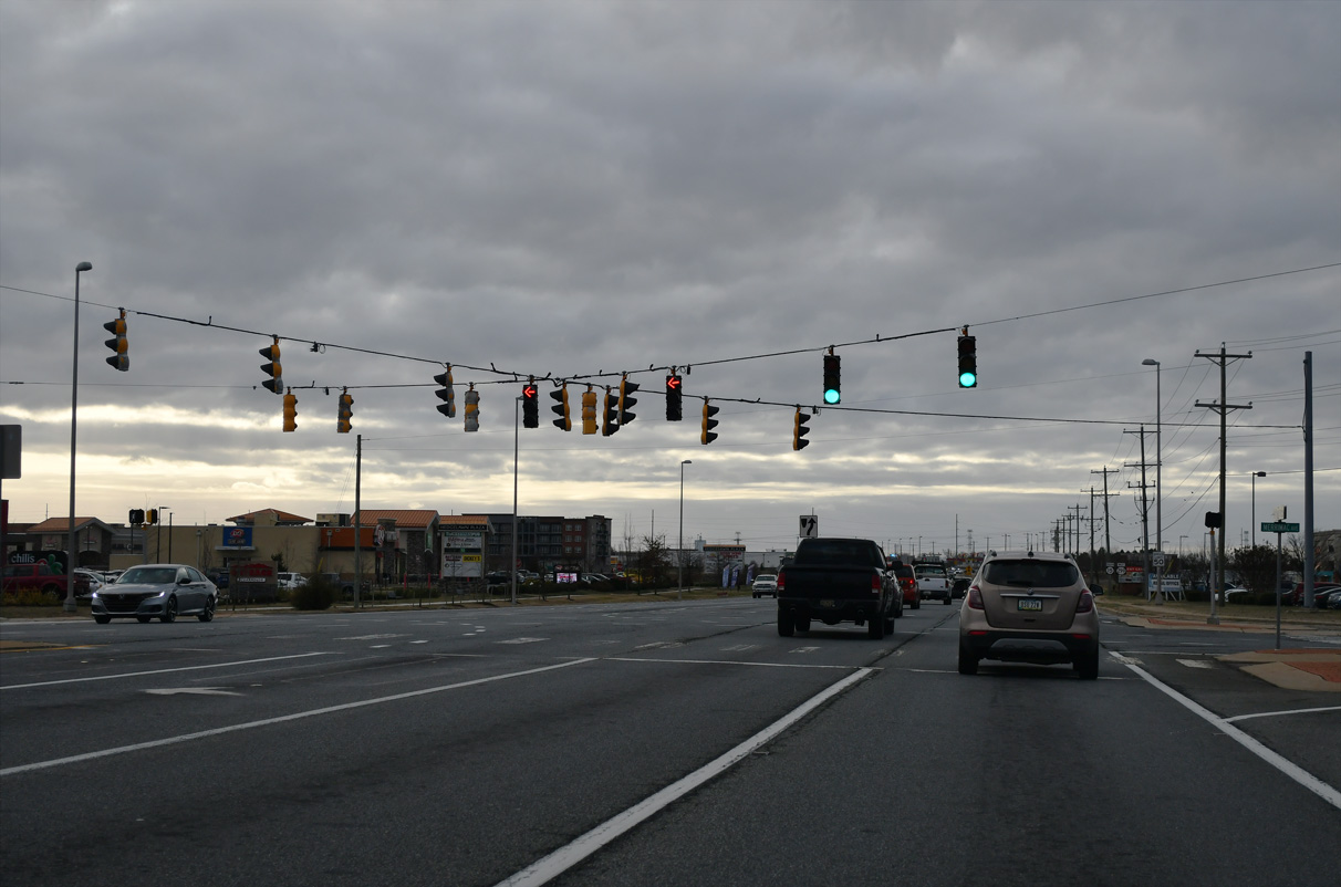
| SR 15 south and SR 299 west split just west of Merrimac Avenue and this shield assembly. 12/16/17 |
|
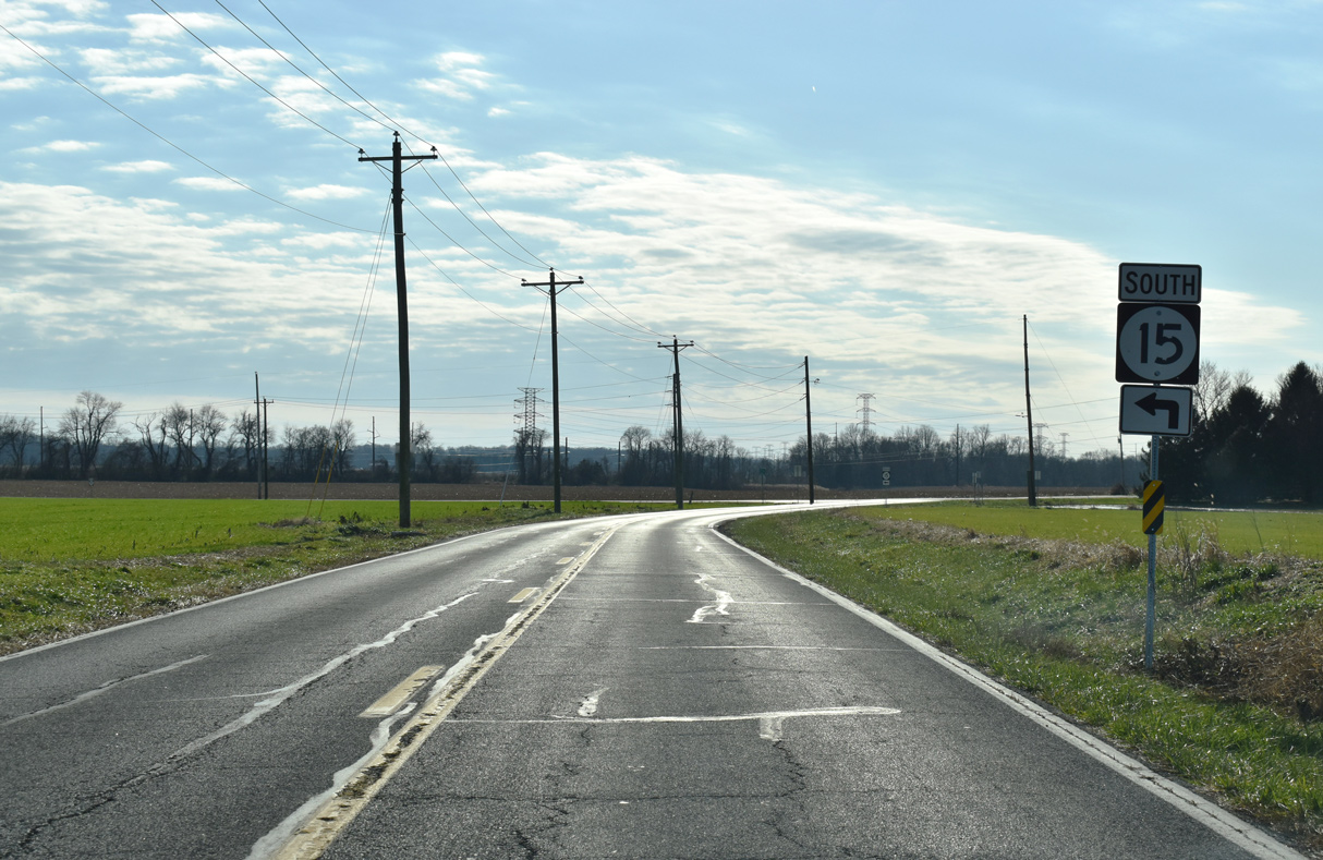
| SR 299 was realigned in 2017 to circumvent the nearby U.S. 301 toll road west to Warwick, Maryland. Levels Road leads SR 15 from Middletown Warwick Road (old U.S. 301) to Charles E. Price Memorial Park and the suburban south side of Middletown. 12/16/17 |
|
| Leading away from SR 299 and Middletown Warwick Road (Rd 443), SR 15 (Levels Road) passes between office buildings and an industrial parks. 12/28/20 |
|
| SR 15 along Levels Road was realigned to meet St. Annes Church Road (Rd 447) and Wallasey Drive at a roundabout. 12/28/20 |
|
| St. Annes Church Road forms a 1.72 mile long arc through suburban areas of Middletown to SR 71 (Summit Bridge Road). Wallasey Drive is the entrance to The Preserve at Deep Creek development. 12/28/20 |
|
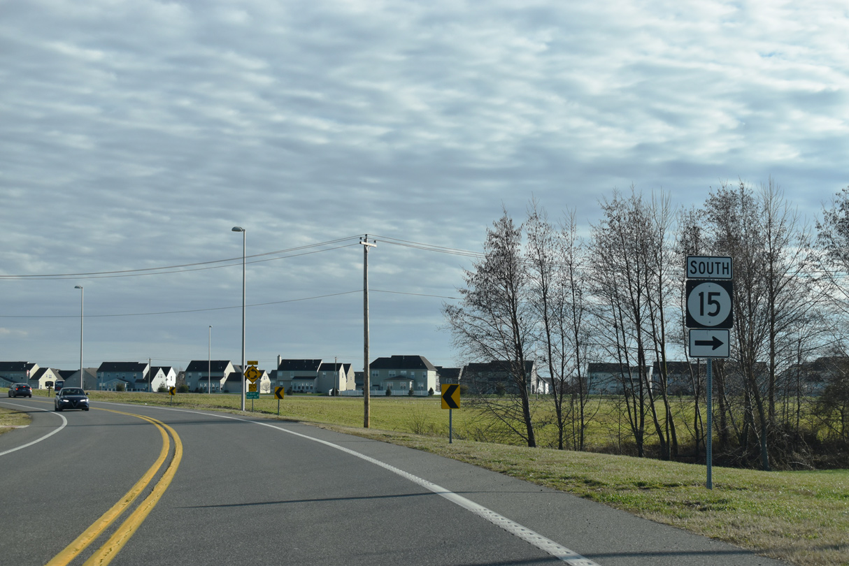
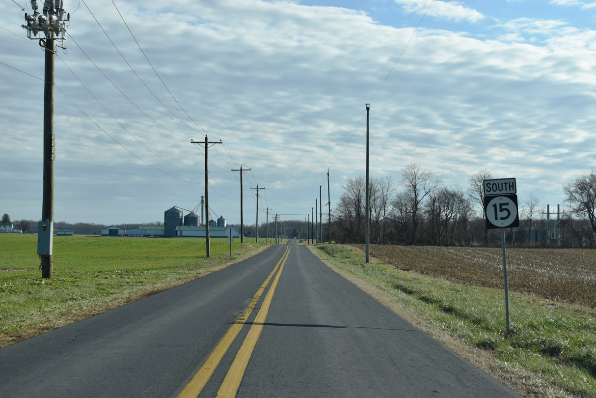
| Advancing south from the Middletown town limits, SR 15 (Levels Road) takes a linear course across open agricultural land. 12/28/20 |
|
| Levels Roads takes SR 15 southwest to Dogtown Road. 12/28/20 |
|
| Levels Road continues 0.80 miles west from SR 15 at Dogtown Road to the Maryland state line at Edgar Price Road. 12/28/20 |
|
| SR 15 follows Dogtown Road 2.05 miles southeast to Caldwell Corner Road (Rd 25). 12/28/20 |
|
| Caldwell Corner Road (Rd 25) extends 4.13 miles northeast from the Maryland state line to Main Street in the town of Townsend. 12/28/20 |
|
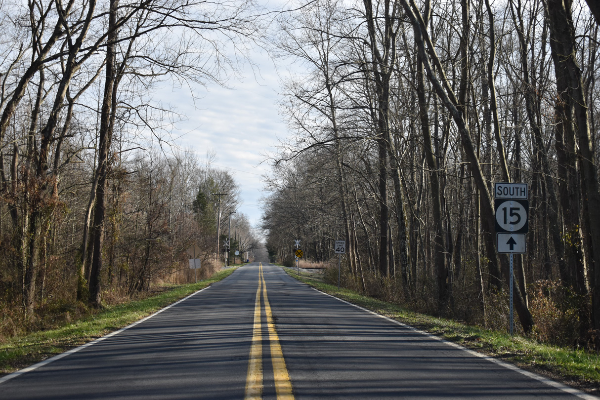
| SR 15 continues south from Caldwell Corner Road along Blackbird Station Road. 12/28/20 |
|
| SR 15 (Blackbird Station Road) branches southeast from Ebenezer Church Road 0.47 miles beyond Caldwell Corner Road. 12/28/20 |
|
| Ebenezer Church Road (Rd 452) heads 1.20 miles southwest to Vandyke Greenspring Road (Rd 47) near Vandyke. 12/28/20 |
|
| SR 15 (Blackbird Station Road) crosses a Maryland and Delaware Railroad line just south of Ebenezer Church Road and Barlow Branch. 12/28/20 |
|
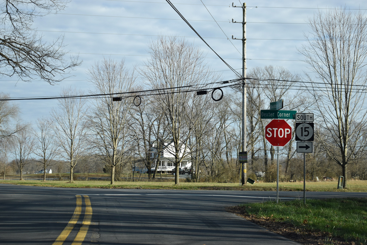
| SR 15 shifts south onto Dexter Corner Road from Black Bird Station Road east. 12/28/20 |
|
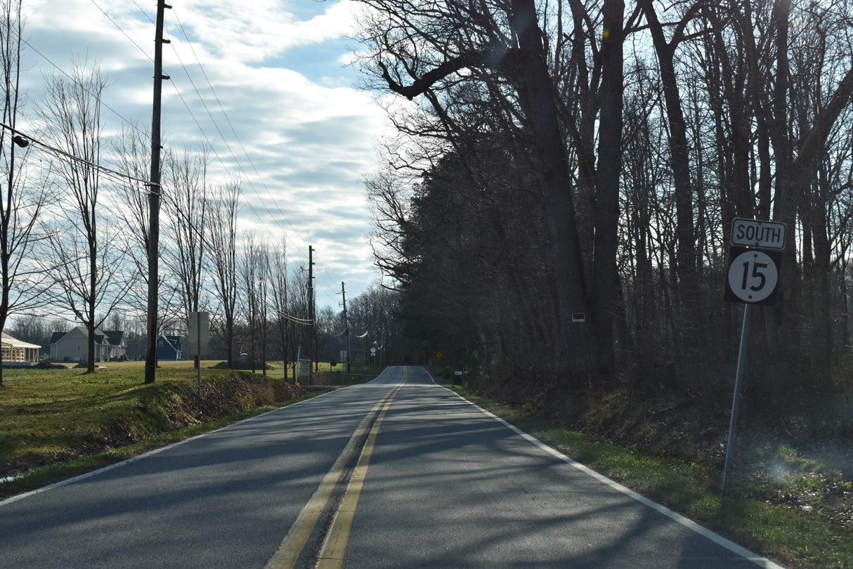
| SR 15 lines Dexter Corner Road 1.87 miles south. 12/28/20 |
|
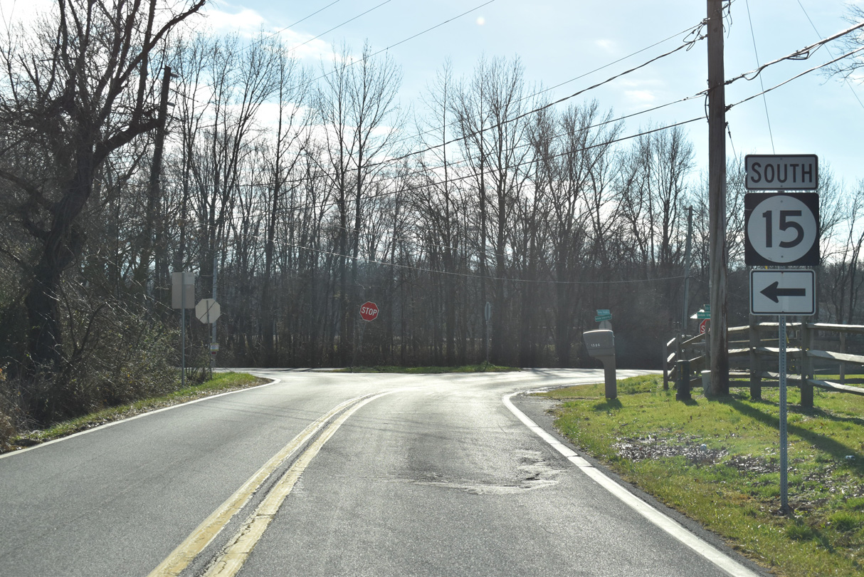
| SR 15 joins Vandyke Greenspring Road east at Dexter Corners. 12/28/20 |
|
| Vandyke Greenspring Road (Rd 47) is a major collector originating 5.18 miles to the northwest from Sassafras Caldwell Road in Maryland. 12/28/20 |
|
| Blackbird Forest Road (Rd 471) leads south through Blackbird State Forest to cross paths with SR 15 (Vandyke Greenspring Road) just ahead of this reassurance marker. 12/28/20 |
|
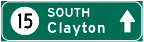
| Vandyke Greenspring Road ventures southeast from Prices Corner toward Alley Mill Road. Alley Mill Road forms a rural bypass for Clayton south to SR 6 (Millington Road) by its west split with SR 15 (Alley Corner Road). 12/28/16 |
|
| More open farm land appears along Vandyke Greenspring Road (SR 15) east between Alley Corner Road and the settlement of Greenspring. 12/28/16 |
|
| SR 15 turns south at Green Spring to Clayton while Vandyke Greenspring Road continues 1.40 miles east to Duck Creek Road (Rd 486) north of Smyrna. 12/28/20 |
|
| Southbound SR 15 reassurance marker posted along Clayton Greenspring Road 1.22 miles from the Kent County line. 12/28/20 |
|
| Clayton Greenspring Road carries SR 15 south parallel to a Norfolk Southern Railroad line to Providence Creek, where both enter the town of Clayton. 12/28/16 |
Page Updated 02-28-2021.


 South
South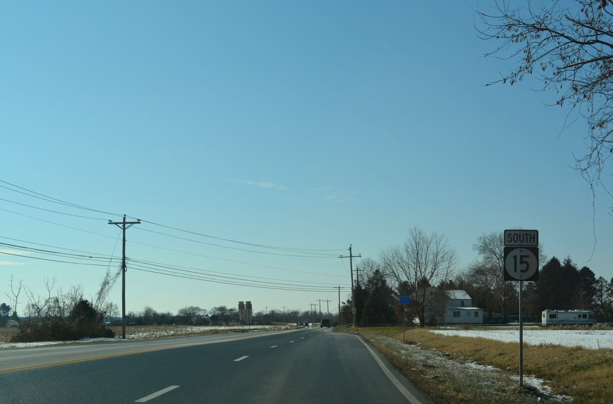

 West
West