
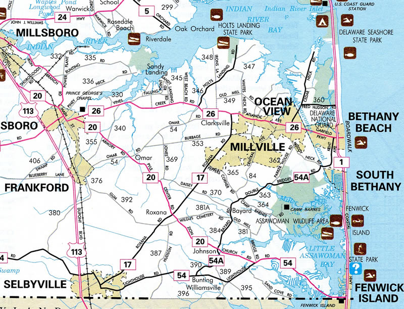
SR 54 Alternate makes a number of turns and follows preexisting local roads through a mixture of agricultural areas, the Assawoman Wildlife Area, and suburban development to link SR 54 at Selbyville with SR 26 (Garfield Parkway) at Bethany Beach. Additionally the state route connects the communities of Bunting, Johnson, Bayard and the town of South Bethany.
Signs were posted sporadically along the route, with no references from Garfield Parkway at the north end. Generally SR 54 Alt utilizes two lane roads, with no four lane sections. The route was established as part of the Delaware Department of Transportation - Capital Transportation Program1 as an improvement for the SR 54 (Lighthouse Road) corridor. The project included the installation of signs only, with funding allocated in the Fiscal Year 2004.
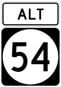
SR 54 ALT markers were removed along the entire 8.5 mile long route by 2019.
 East East |
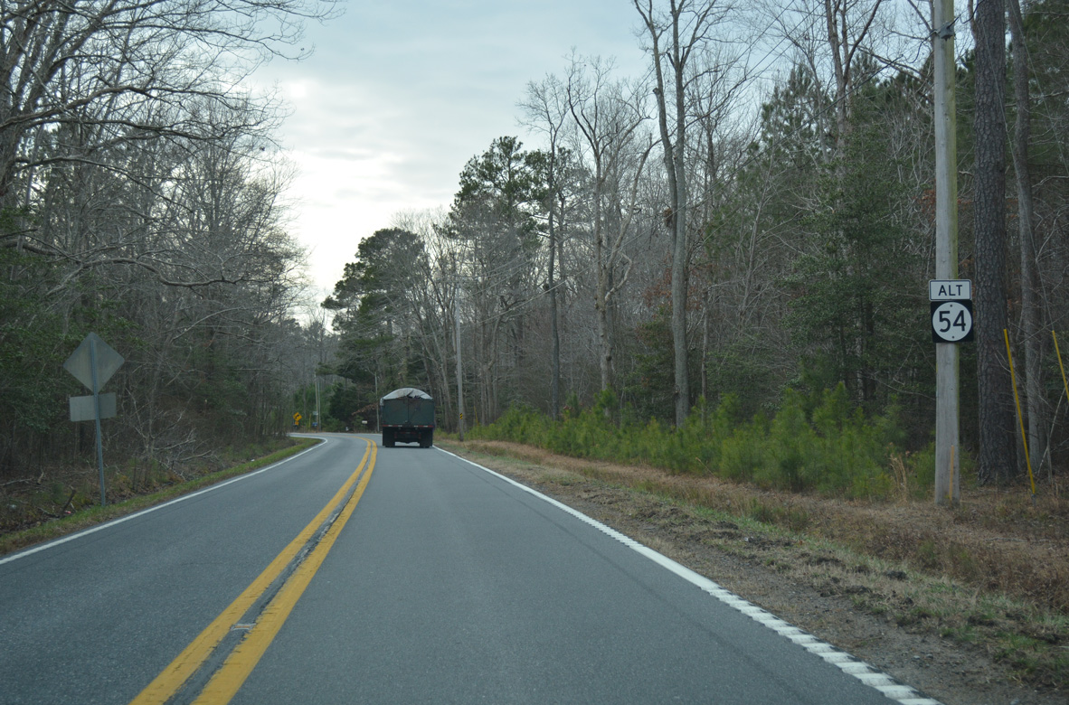
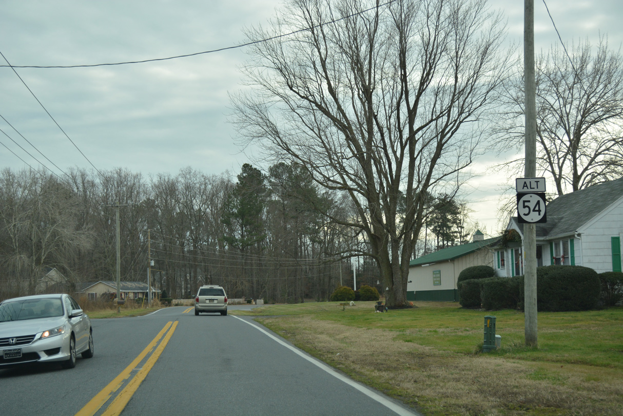
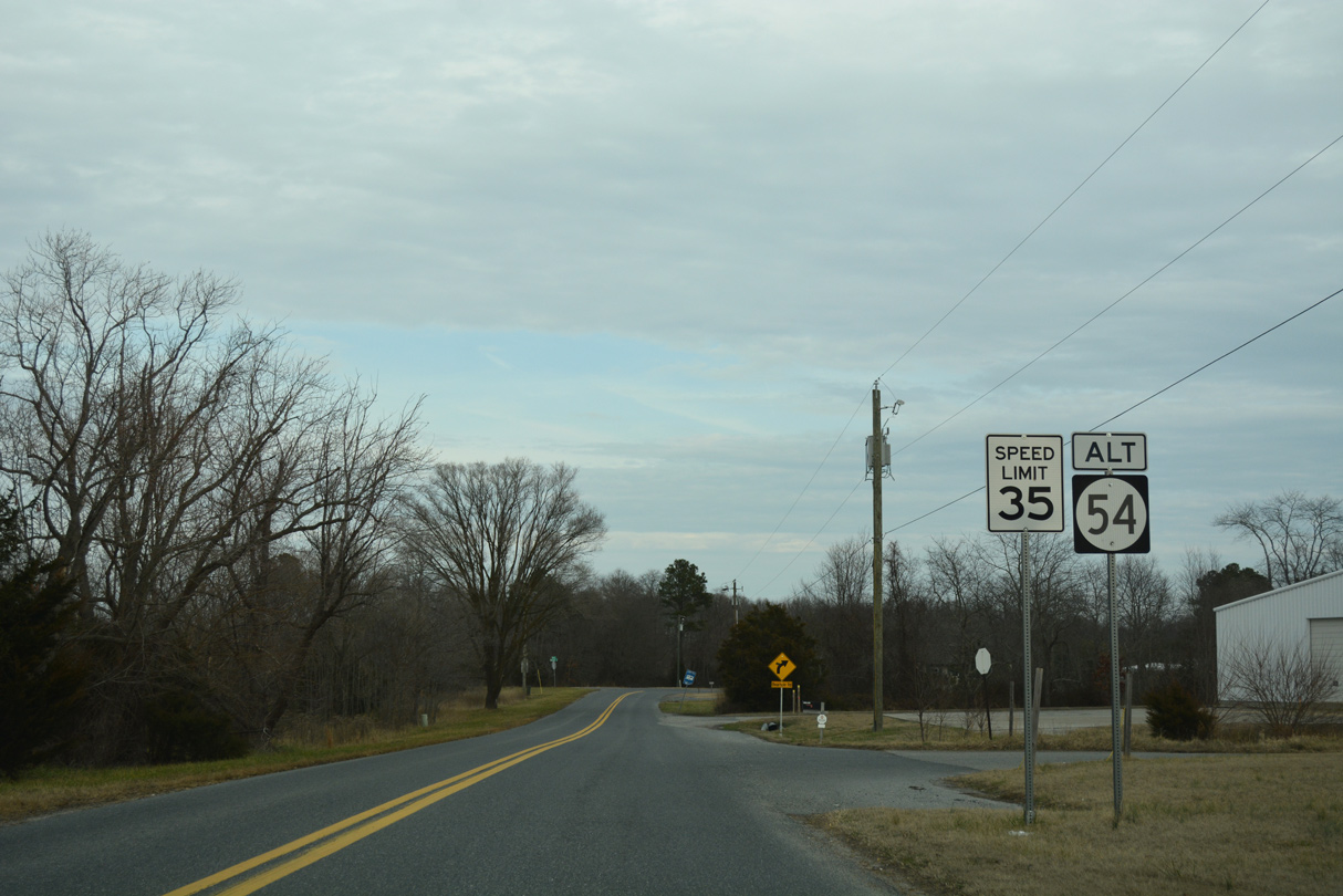 | Johnson Road angles northeast from SR 54 (Lighthouse Road) at the community of Bunting to SR 20 (Zion Church Road) at Johnson. Removed by 2019, the first shield for SR 54 Alt appeared just north of Lighthouse Road. 01/16/17 |
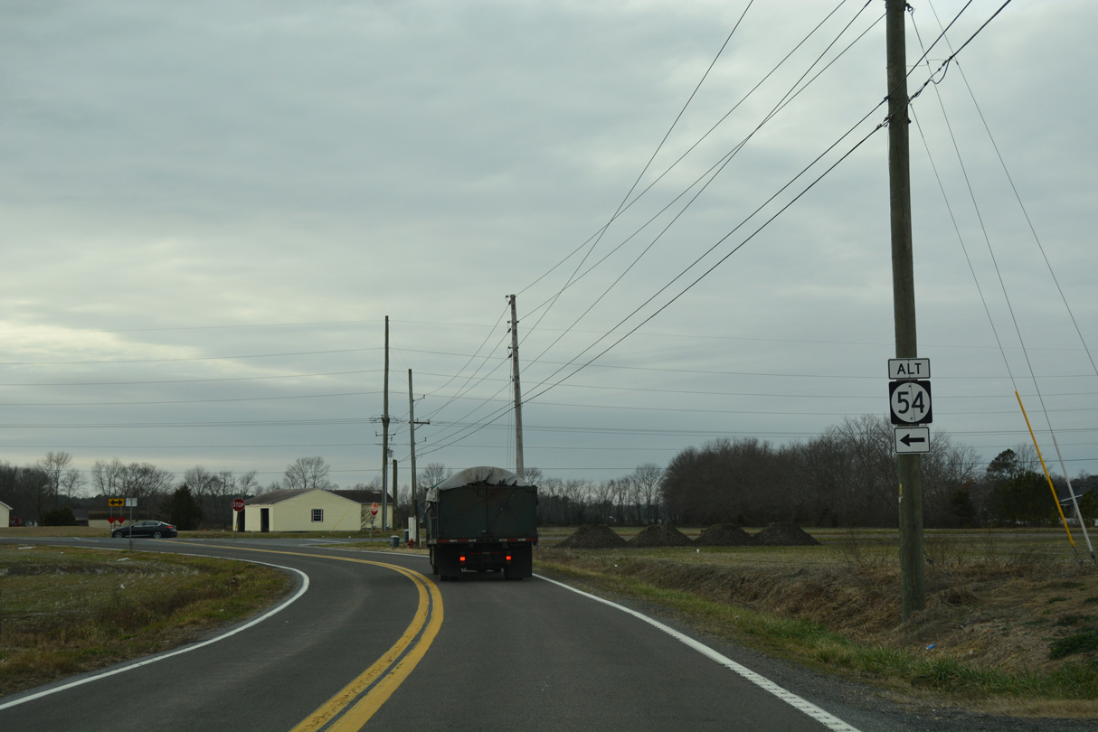
 | Dickerson Road ties into Johnson Road ahead of what was the next reassurance marker for SR 54 Alt east. This assembly was removed by 2019. 01/16/17 |
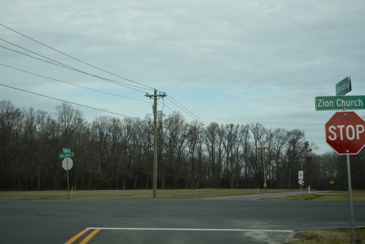 | An unmarked intersection joins SR 54 Alt (Johnson Road) with SR 20 (Zion Church Road) and Bayard Road by the Fox Haven subdivision. SR 20 heads east to SR 54 and Fenwick Island and northwest to Roxana, Omar and Dagsboro. 01/16/17 |
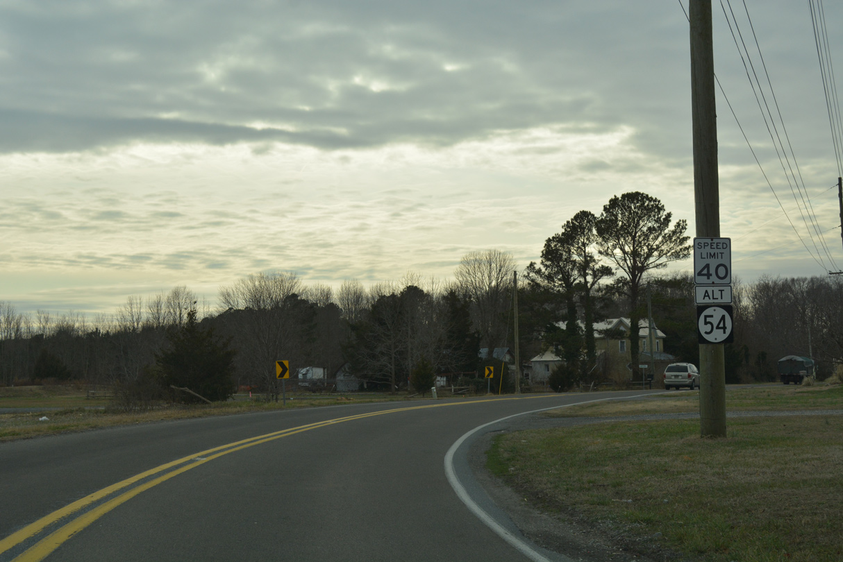
 | The succeeding leg of SR 54 Alt east takes Bayard Road north between a pair of subdivisions to the community of Bayard. The route marker here was removed by 2019. 01/16/17 |
| West |
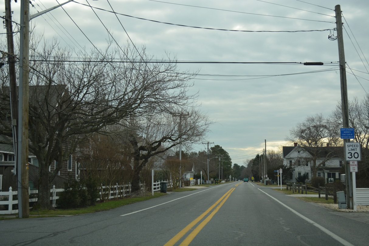 | SR 54 Alt leads south from SR 26 (Garfield Parkway) along Kent Avenue. The route is initially unmarked along the residential through street. 01/16/17 |
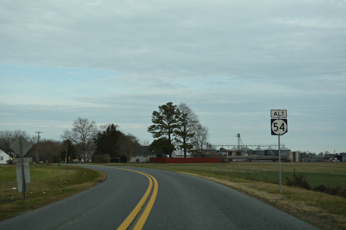
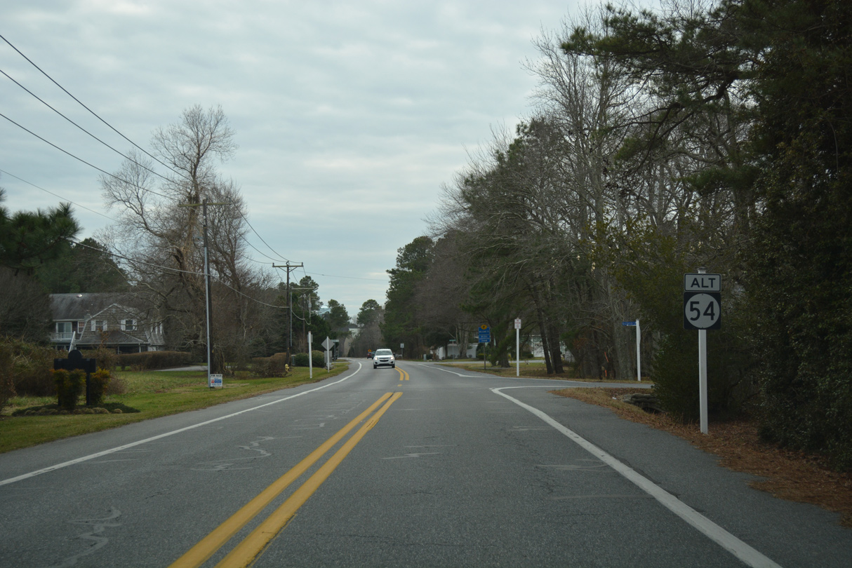 | Approaching the southern limits of the Bethany Beach town line, the first shield for SR 54 Alt stands at Beachwood Lane. 01/16/17 |
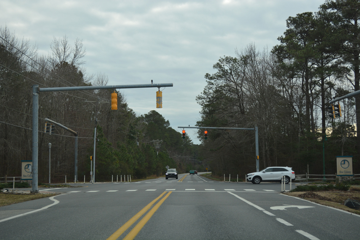 | Traffic lights operate at the intersection of Kent Avenue and Westway Drive at the Sea Colony condominium community. Westway Drive meanders east to connect with SR 1 (Coastal Highway). 01/16/17 |
 | Kent Avenue curves west to cross Assawoman Canal and tie into Muddy Neck Road west into the town of Ocean View at Double Bridges Road. This SR 54 ALT shield was removed by 2019. 01/16/17 |
 | SR 54 Alt followed Double Bridges Road south from Kent Avenue and Ocean View to Miller Neck and Bayard. This assembly was removed by 2019. 01/16/17 |
 | The state route passes by Assawoman Wildlife Area across Muddy Neck. The parkland extends south to Miller Creek and Little Bay. 01/16/17 |
 | A reassurance marker appears for SR 54 Alt after the Double Bridges Road intersection with Old Church Cemetery Road west. 01/16/17 |
 | SR 54 Alt emerges from a wooded area across farm land spreading west to the turn at Bayard Road. 01/16/17 |
 | Bayard Road leads SR 54 Alt southwest through the settlement of Bayard. This shield was removed by 2019. 01/16/17 |
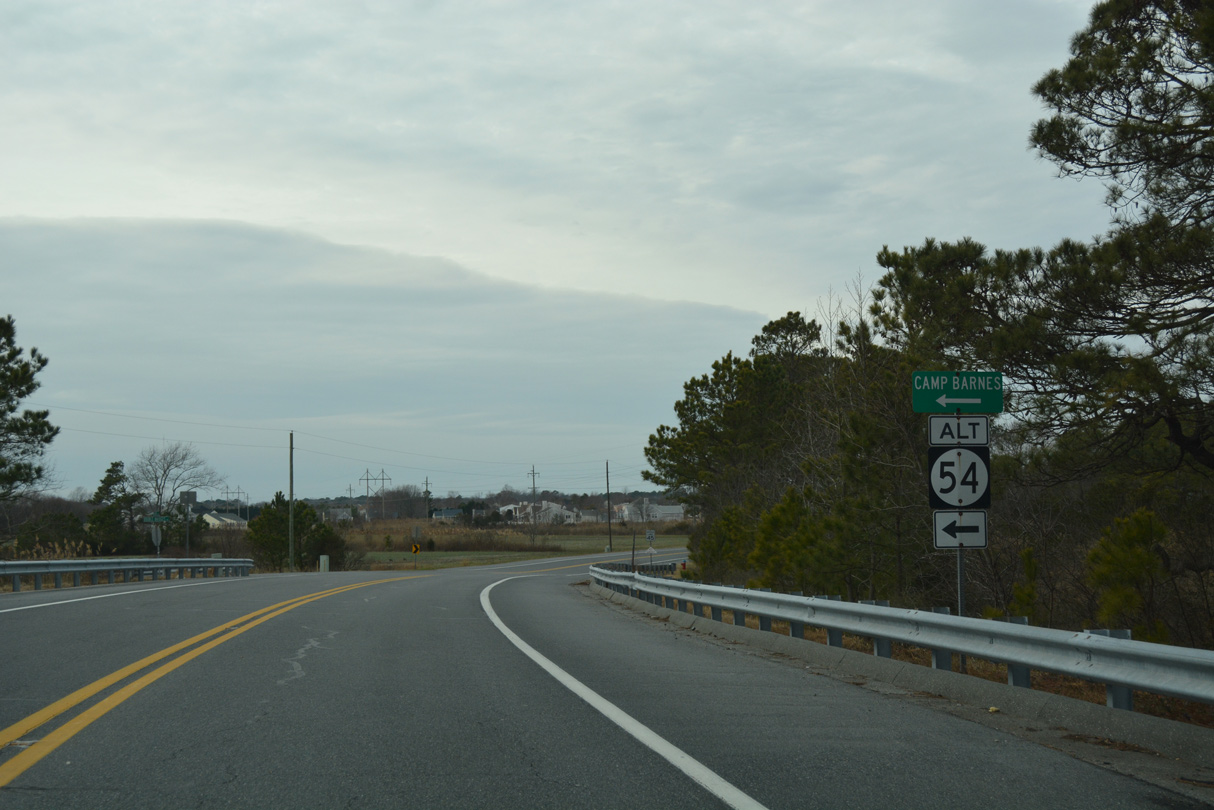
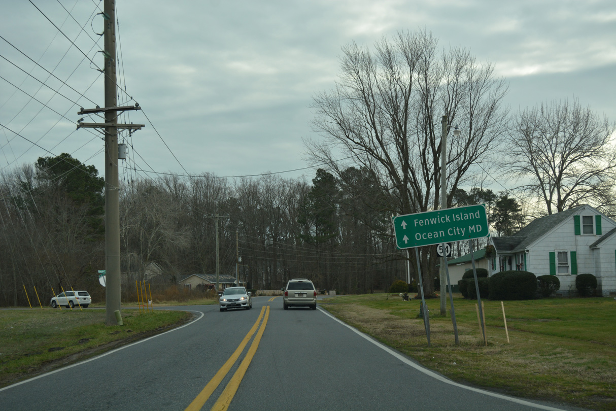 | Travelers bound for SR 20 east to SR 54 for Fenwick Island and Ocean City, Maryland were directed to remain along SR 54 Alt west in lieu of Old Mill Bridge Road. This guide sign and SR 54 ALT shield was removed by 2019. 01/16/17 |
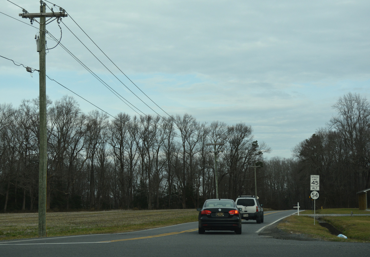
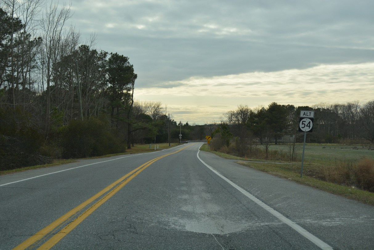
 | Old Mill Bridge Road arcs southeast from SR 54 Alt to a causeway across Dirickson Creek and SR 20/54. SR 54 Alt intersects SR 20 (Zion Church Road) in 1.2 miles. 01/16/17 |
 | No signs are post for either SR 20 or SR 54 Alternate at their intersection near the community of Johnson. SR 20 follows Zion Church Road southeast to combine with SR 54 en route to Fenwick Island. 01/16/17 |
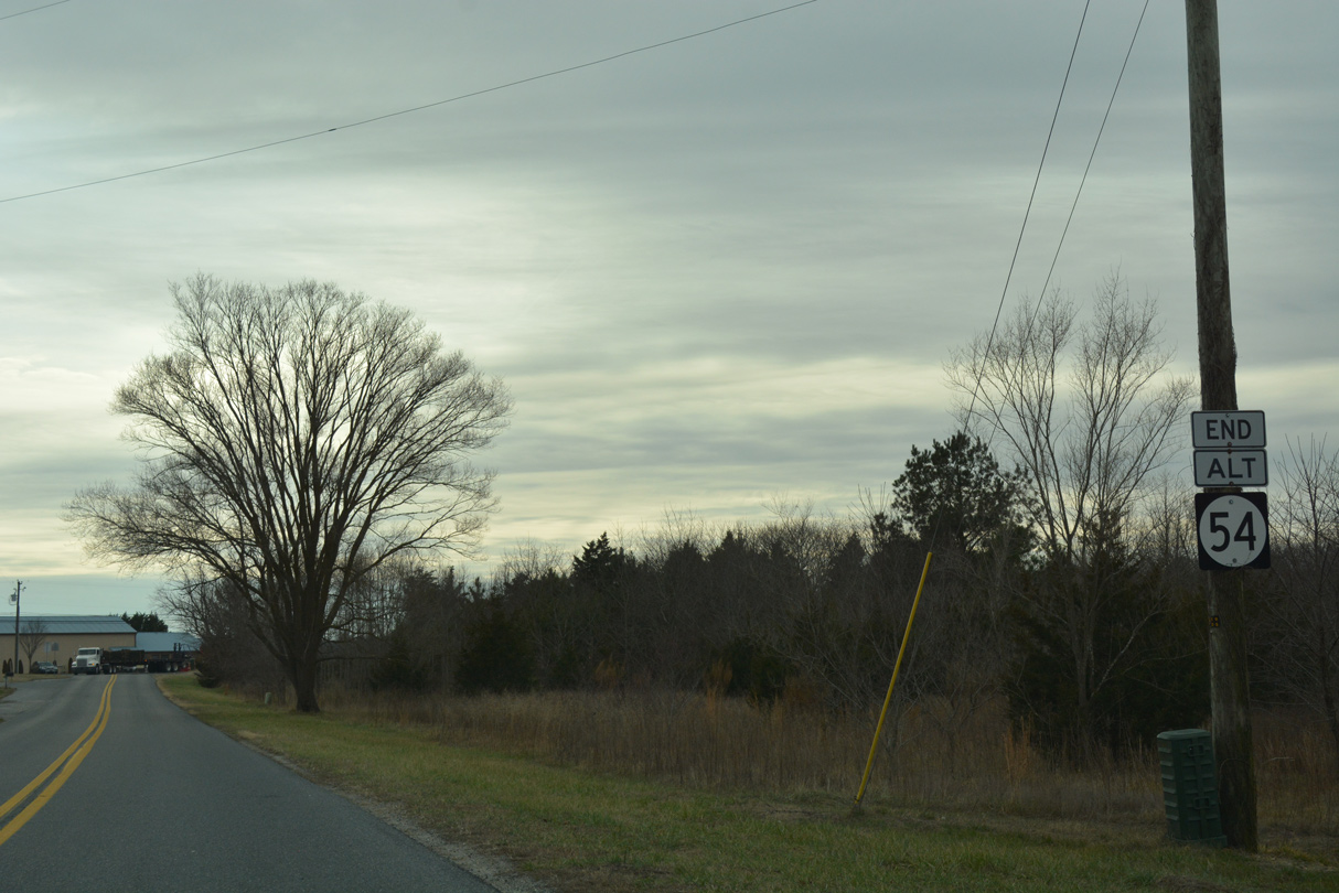 | The final 1.6 miles of SR 54 Alt west winds along Johnson Road to SR 54 at Bunting. The end shield was removed by 2019. 01/16/17 |
http://deldot.gov/information/ pubs_forms/CTP/archived/ctp05-10 /final/pdf/sc/sc_collectors_pages_5-38_thru _5-57.pdf.
Photo Credits:
01/16/17 by AARoads
Connect with:
State Route 20
State Route 26
Multi State Route 54
Page Updated 11-16-2021.