Map Updated October 1, 2012.
Escambia County Roads are generally numbered between the 100s and 300s, falling within the sequence of SR 10 (U.S. 90) and SR 30 (U.S. 98). 400 and 700 series routes were also designated in Escambia County to avoid numbering duplication with existing 200 series routes. Typical of Florida County Roads, many routes are unsigned or sparsely signed.
| County Road |
West / South End |
East / North End |
Mileage |
Signed? |
| 4 |
Davisville - SR 97 |
Century - US 29 |
13.35 |
Yes |
| 4A |
north of Century - CR 4A |
Century - US 29 |
1.85 |
No |
| 4A |
Byrneville - CR 4 |
Century - US 29 |
6.005 |
Partially |
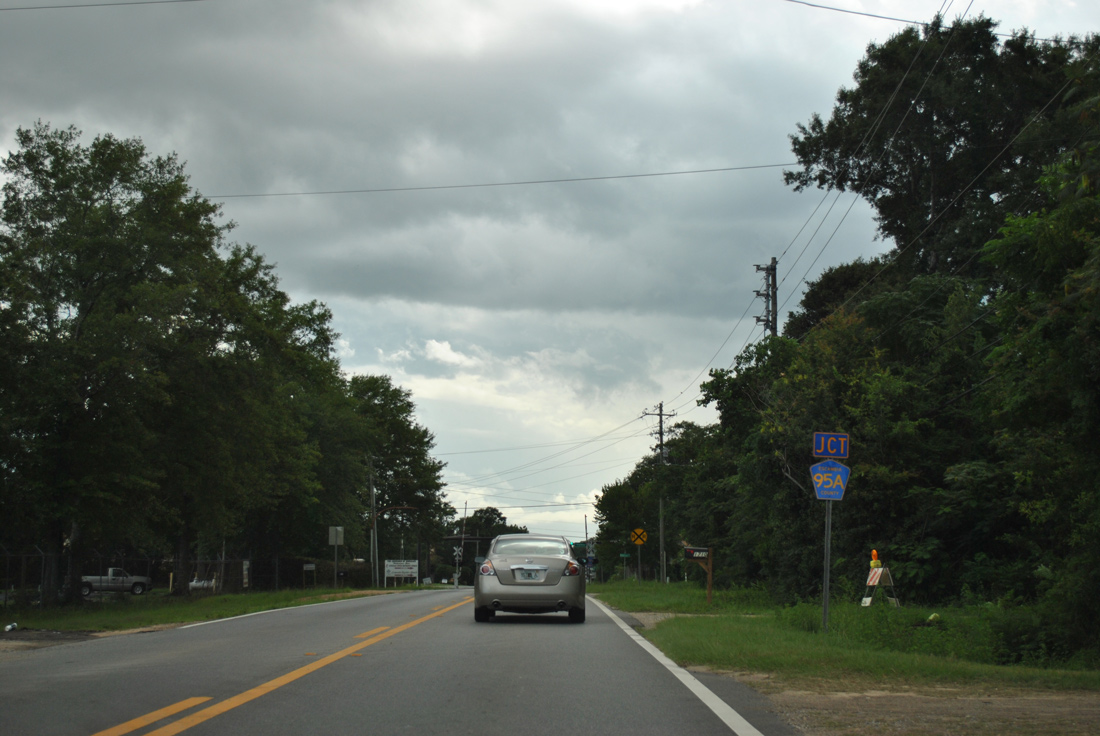
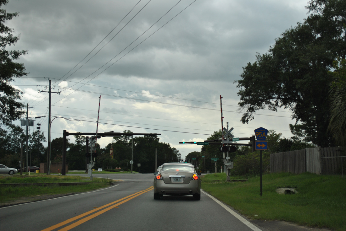
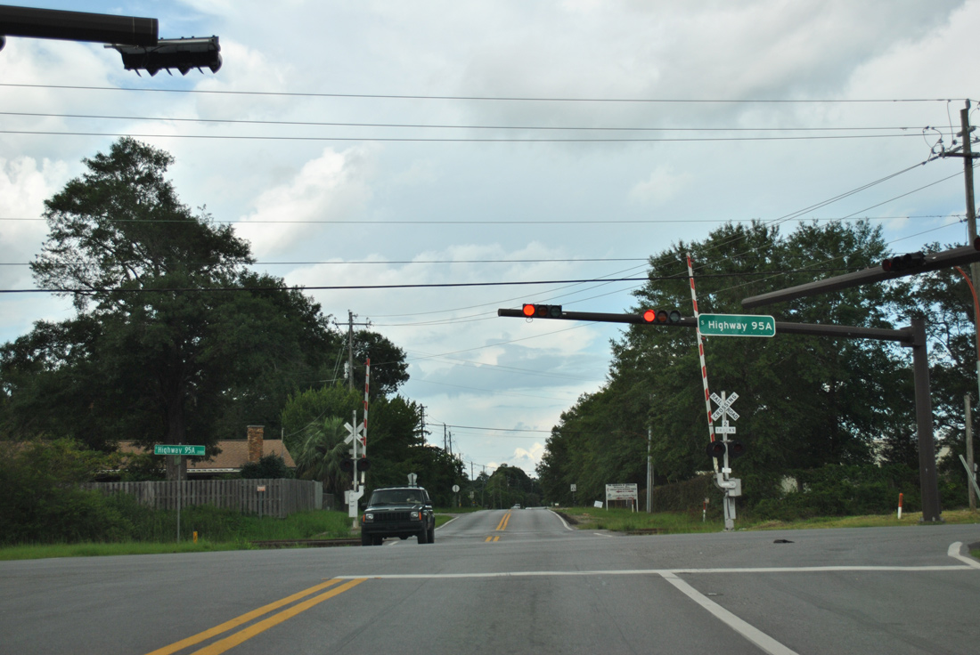
| 95A |
Brent - US 29 |
Cantonment - US 29 |
10.65 |
Yes |
| 95A |
Cantonment - US 29 |
near Brickton - US 29 |
8.96 |
Yes |
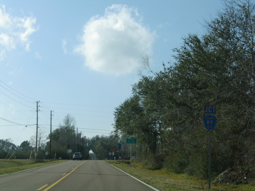
| 97 |
near Pine Forest - CR 297A |
east of Barrineau Park - CR 196 |
11.43 |
Yes |
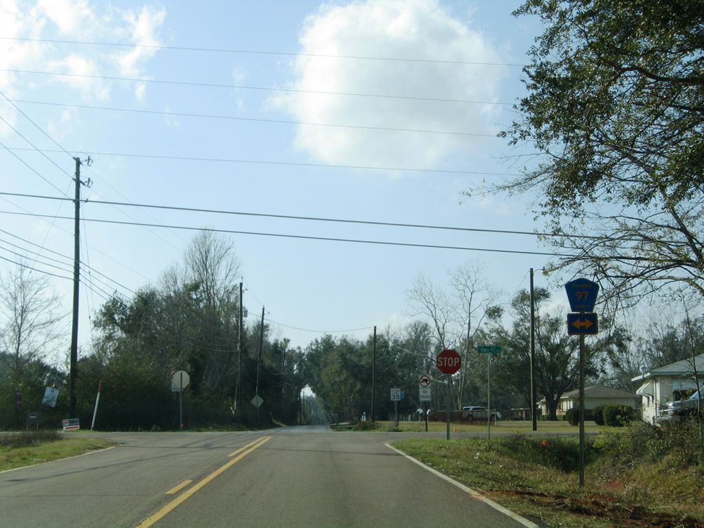
| 97A |
McKinnonville - CR 99 |
Davisville - SR 97 |
16.47 |
Yes |
| 99 |
Hurst Hammock Road |
Muscogee - CR 184 |
7.60 |
Yes |
| 99 |
Barrineau Park - CR 196 |
east of Walnut Hill - SR 97 |
14.99 |
Yes |
| 99 |
east of Walnut Hill - SR 97 |
Bratt - north of CR 4 |
6.21 |
Yes |
| 99A |
Pineville - Pineville Road |
Oak Grove - CR 99 |
9.37 |
Yes |
| 164 |
north of Walnut Hill - SR 97 |
McDavid - US 29 |
11.35 |
Yes |
| 168 |
north of Bratt - former CR 99 |
north of Byrneville - CR 4A |
5.96 |
No |
| 173 |
Pensacola NAS - West Gate |
south of Pleasant Grove - SR 173/CR 292A |
0.195 |
No |
| 182 |
north of Barrineau Park - CR 99 |
Molino |
7.45 |
Yes |
| 184 |
Al state line - CR 112 |
Cantonment - US 29 |
5.51 |
Yes |
| 184 |
south of Quintette - CR 95A |
Santa Rosa County line - CR 184 |
3.65 |
Yes |
186 |
CR 99 |
CR 97 |
3.09 |
No |
| 186 |
CR 97 |
south of Gonzalez - US 29 |
5.45 |
Yes |
| 196 |
Barrineau Park - CR 99 |
north of Quintette - CR 95A |
7.59 |
Yes |
| 290 |
Ensley - CR 95A |
north of Pensacola - US 90 |
5.47 |
Partially |
| 292A |
Warrington - SR 292 |
Warrington - SR 295 |
1.22 |
No |
| 292A |
Innerarity |
Pleasant Grove - SR 292 |
9.73 |
Partially |
| 293 |
SR 292 |
east of Paradise Beach - US 98 |
3.94 |
Yes |
| 295A |
Warrington - SR 292 |
West Pensacola - Lillian Highway |
2.72 |
Partially |
| 296 |
Saufley Field - Main Gate |
Bellview - US 90/SR 296 |
2.18 |
Yes |
| 296A |
SR 173 |
Marlane Drive |
1.46 |
No |
| 297 |
north of Pine Forest - US 90A/SR 297 |
south of Gonzalez - US 29 |
3.37 |
Yes |
| 297 |
Pleasant Grove - SR 292 |
west of Millview - US 98/SR 298 |
3.26 |
Yes |
| 297A |
Pine Forest - CR 297 |
Cantonment - CR 184 |
5.56 |
Yes |
| 298A |
Myrtle Grove - SR 727 |
west Pensacola - SR 292 |
4.55 |
No |
| 399 |
Fort Pickens State Park |
north end Bob Sikes Bridge - SR 399 |
11.38 |
No |
| 399 |
Fort Pickens Road - CR 399 |
Santa Rosa County line |
13.77 |
No |
| 453 |
west Pensacola - US 98 |
north of Brent - US 29 |
5.30 |
Yes |
| 749 |
Gonzalez - CR 95A |
Chemstrand Road |
2.25 |
Yes |
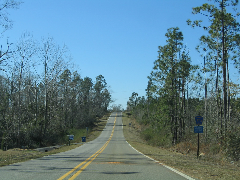
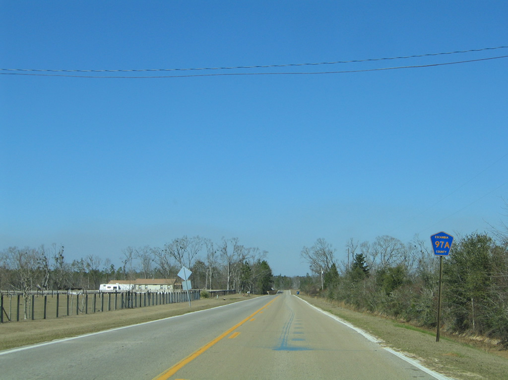
County Road 97A
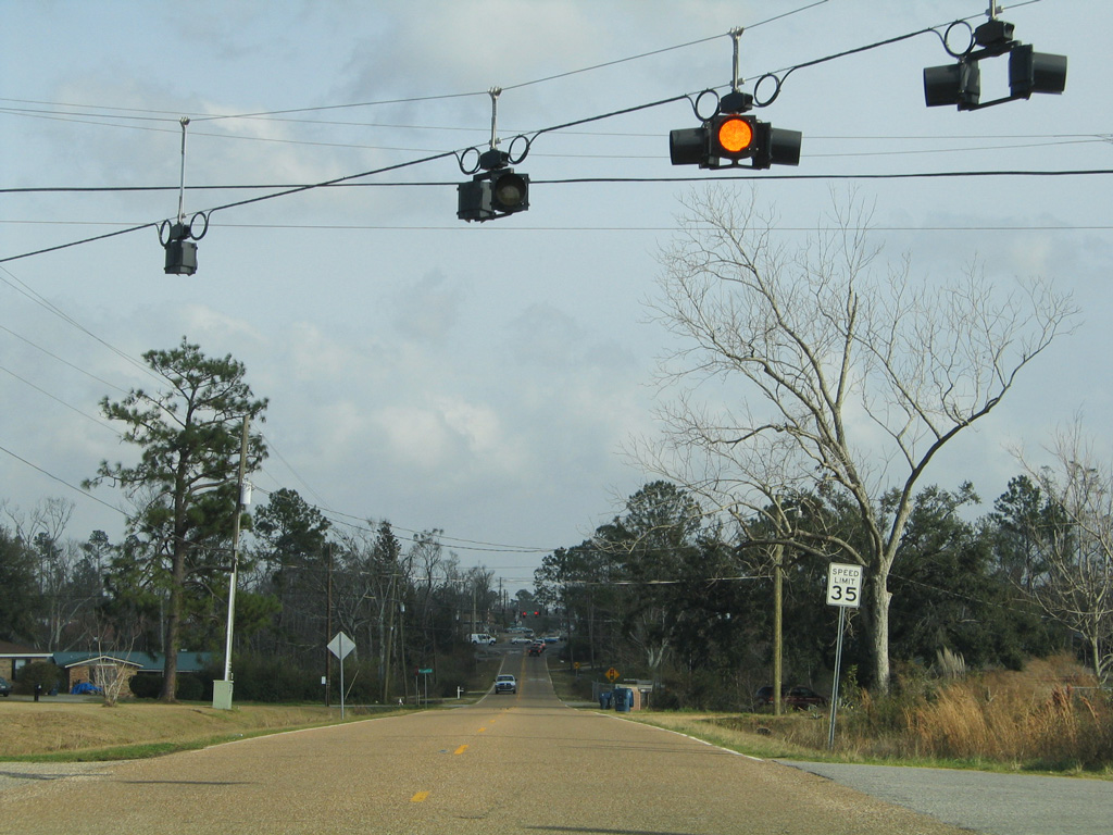
County Road 97A loops 16.47 miles west through a mixture of forest and farm land, from County Road 99 at Bay Springs to Enon and SR 97 at Davisville. The route is unsigned north of CR 99A (Arthur Brown Road) along Pine Forest Road.
|
| Escambia County Road 97A begins and winds west from CR 99 at rural Bay Springs. The route undulates over Boggy Creek and the West Fork of Boggy Creek to Waters Ferry Road. 02/08/06 |
|
| CR 97A turns north at Waters Ferry Road to the settlement of Enon. 02/08/06 |
|
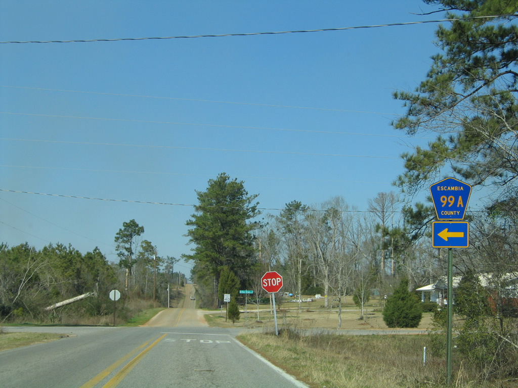
| North of McDavid Creek, CR 97A intersects CR 99A (Arthur Brown Road). Despite signage referencing Arthur Brown Road west only, County Road 99A travels east to Walnut Hill as well. The 9.39 mile route ends at CR 99 to the east and Pineville Road to the west. 02/08/06 |
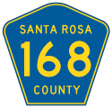
County Road 168
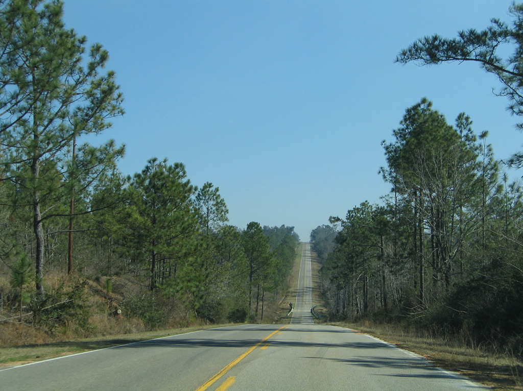
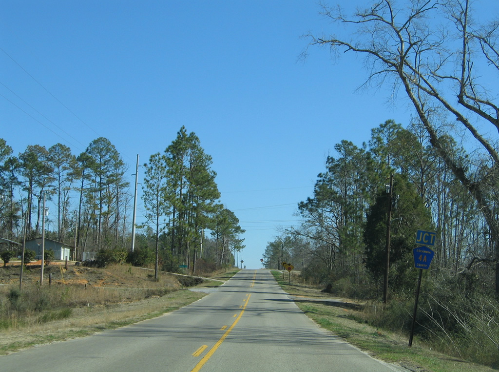
County Road 168 exists solely in Escambia County along a rural east-west road between CR 99, north of Bratt, and CR 4A, north of Byrneville. The 5.96 mile route provides an alternate to County Road 4 between Davisville and Century.
|
| County Road 168 traverses a mixture of pine forest and wetland areas associated with Canoe Creek over the first several miles leading east from County Road 99. 02/08/06 |
|
| Lowering into a valley ahead of Reedy Creek along CR 168 east. 02/08/06 |
|
| Nearing the east end of County Road 168, where CR 4 turns toward Gandyville and the city of Century. 02/08/06 |
|
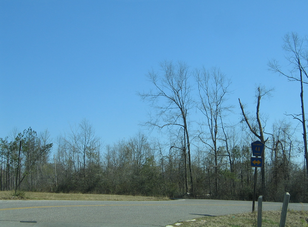
| Escambia County Road 4A constitutes a rural loop 6.01 miles east from County Road 4 at Byrneville to U.S. 29 at South Flomaton. 02/08/06 |
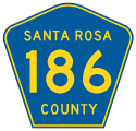
County Road 186
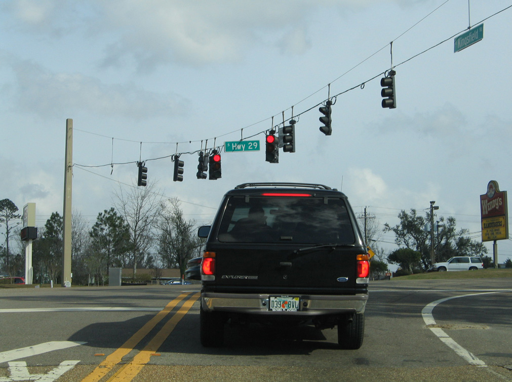
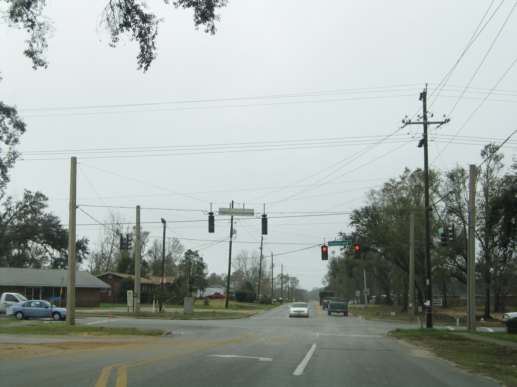
A suburban east-west route, County Road 186 follows Kingsfield Road for 5.45 miles between County Road 97 and Chemstrand Road (former CR 749) south of Gonzalez. The route is only signed on U.S. 29 at the intersection with Kingsfield Road.
Kingsfield Road west from County Road 97 to County Road 99 was also a part of CR 186 until 2010. The 3.09 mile long stair-stepped route was not signed.
|
| CR 186 (Kingsfield Road) east at Elevenmile Creek. 02/02/06 |
|
| Kingsfield Road east at Tate Road. Tate Road parallels U.S. 29 north from Roberts Road to Tate High School and Cantonment. 02/02/06 |
|
| Kingsfield Road proceeds east a short distance from Tate Road to meet U.S. 29. 02/02/06 |
|
| Kingsfield Road becomes a part of CR 186 west from the signalized intersection with Chemstrand Road in Gonzalez. 02/02/06 |
|
| Kingsfield Road passes by the entrance to the St. Andrews subdivision from the unsigned westbound beginning of County Road 186. 07/24/11 |
|
| Kingsfield Road emerges from suburban areas to meet County Road 95A at a commercial strip alongside U.S. 29. 07/24/11 |
|
| CR 95A mirrors U.S. 29 to the east through the Gonzalez, Cantonment and Ensley areas along the original alignment for the US Highway. 07/24/11 |
|
| Kingsfield Road angles northwest to intersect CR 297A. West from there, CR 186 continues another 1.25 miles to CR 97. 02/02/06 |
|
| CR 97 branches northwest from CR 297A through the outer Pensacola suburbs en route to CR 184 near Farm Hill. 02/02/06 |
|
| Kingsfield Road intersects Escambia County Road 95A immediately east of U.S. 29 and before an at-grade CSX Railroad crossing. Unsigned CR 186 services a number of subdivisions to its end in 1.6 miles. 07/24/11 |
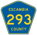
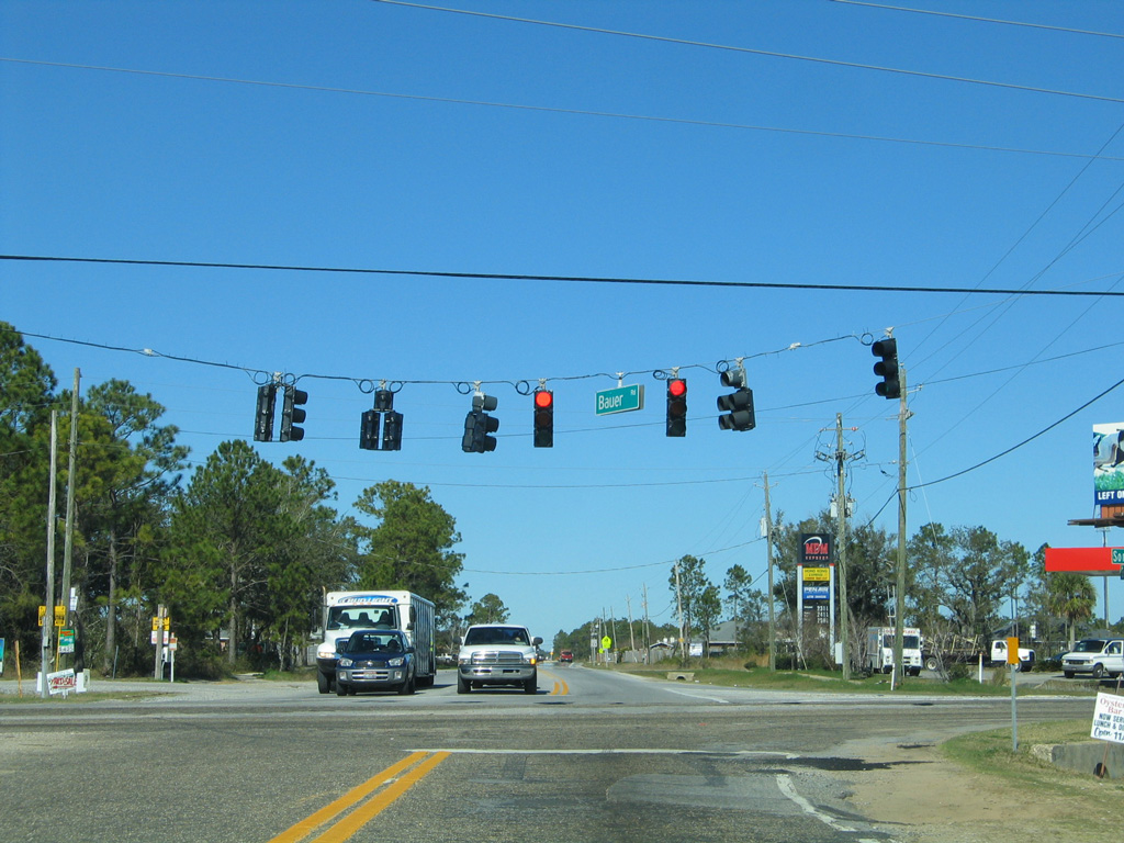
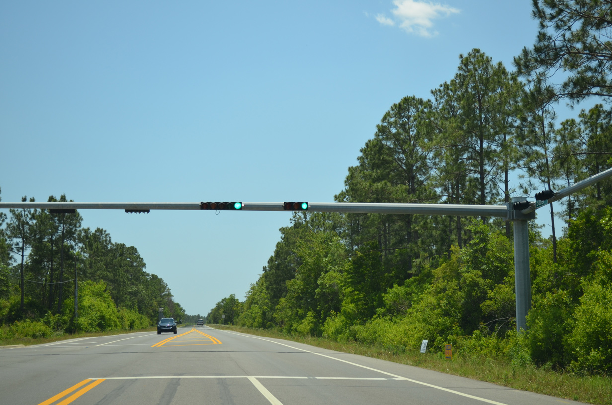
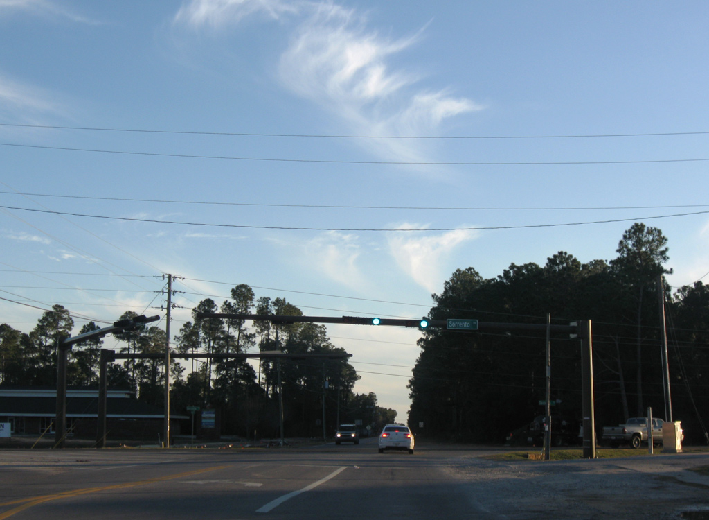
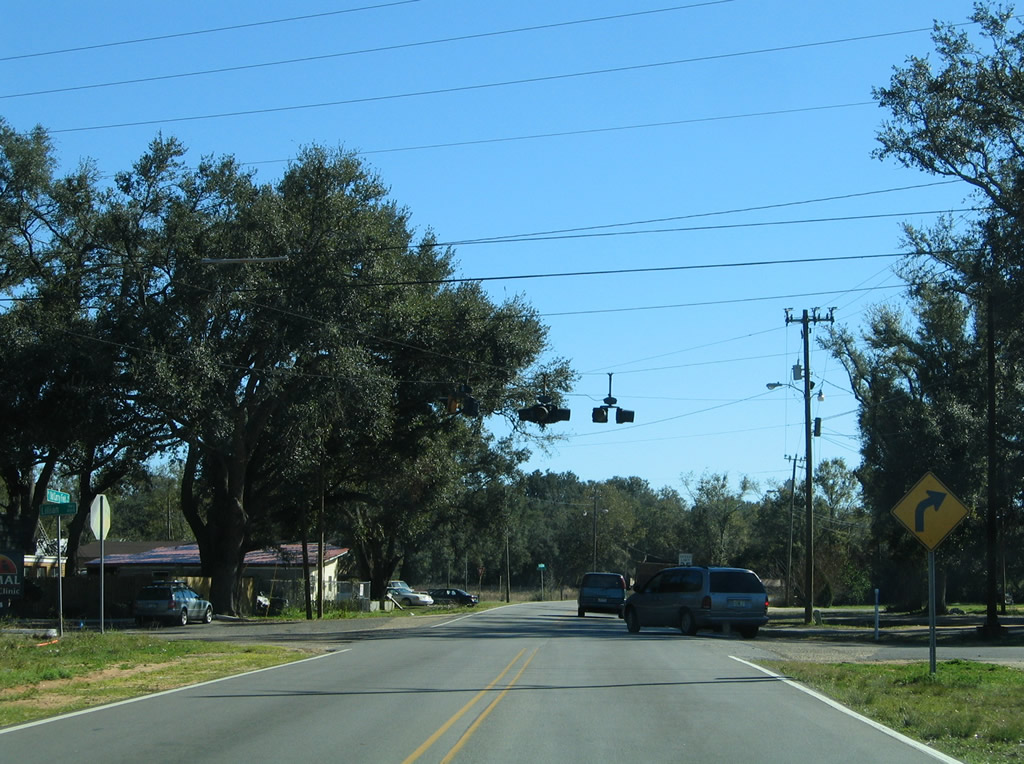
County Road 293 - Bauer Road
County Road 293 follows Bauer Road 3.94 miles north from SR 292 (Sorrento Road) to U.S. 98 (Lillian Highway) in southwest Escambia County. The two-lane roadway is mostly rural, traversing tracts of Tarkiln Bayou Preserve State Park.
|
| Bauer Road stems north from CR 292A (Gulf Beach Highway) to become CR 293 at SR 292 (Sorrento Road). 01/31/06 |
|
| CR 293 (Bauer Road) concludes at U.S. 98 just off Perdido Bay east of Paradise Beach. 05/16/14 |
|
| Traffic lights operate along Bauer Road at the Southwest Escambia County Sports Complex. 05/16/14 |
|
| SR 292 leads southwest from CR 293 (Bauer Road) to Perdido Key and east toward Warrington while Bauer Road continues unnumbered to CR 292A (Gulf Beach Highway) at Big Lagoon State Park. 01/03/10 |
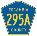
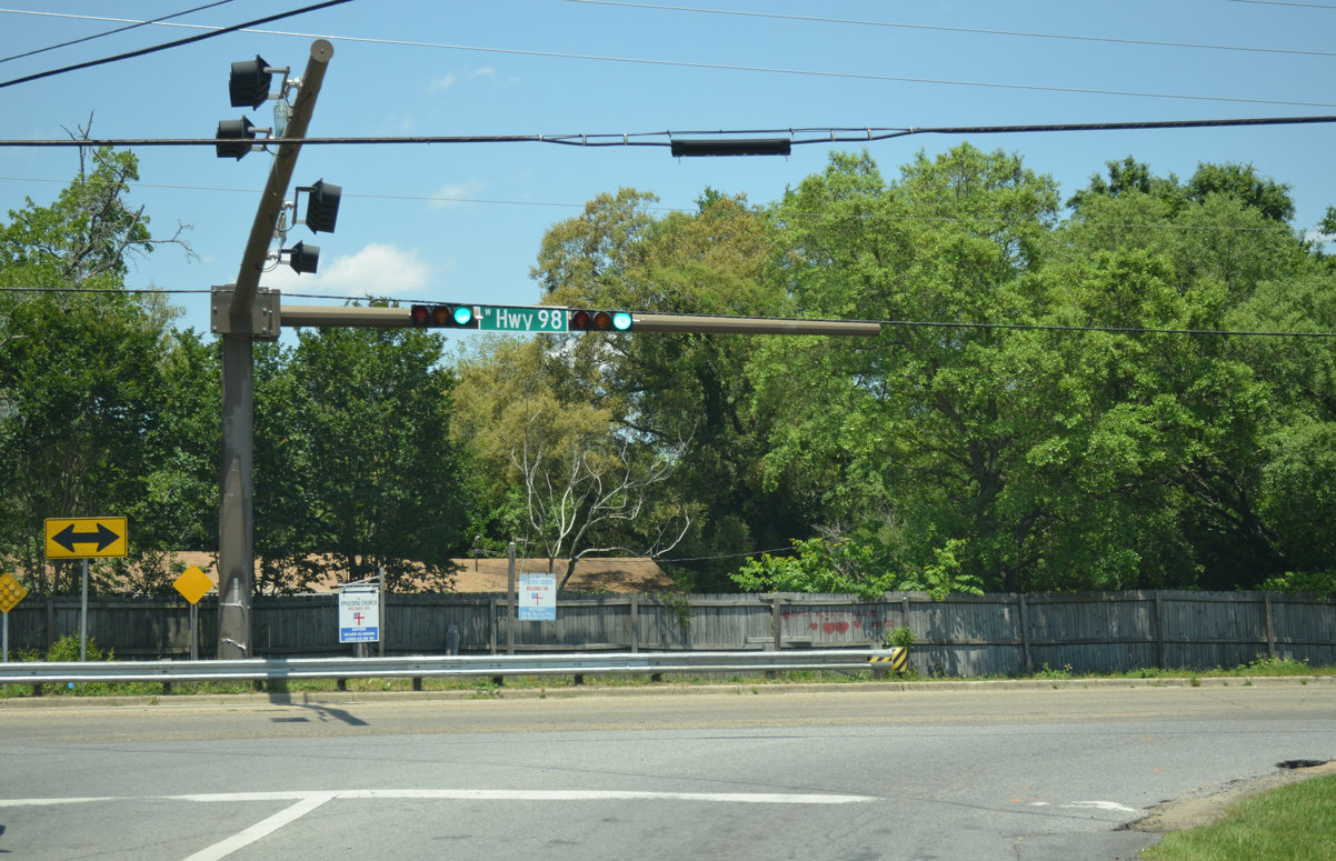
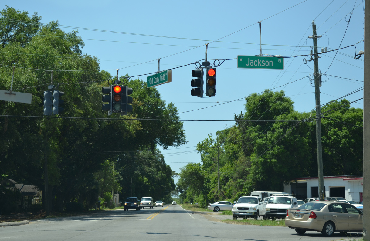
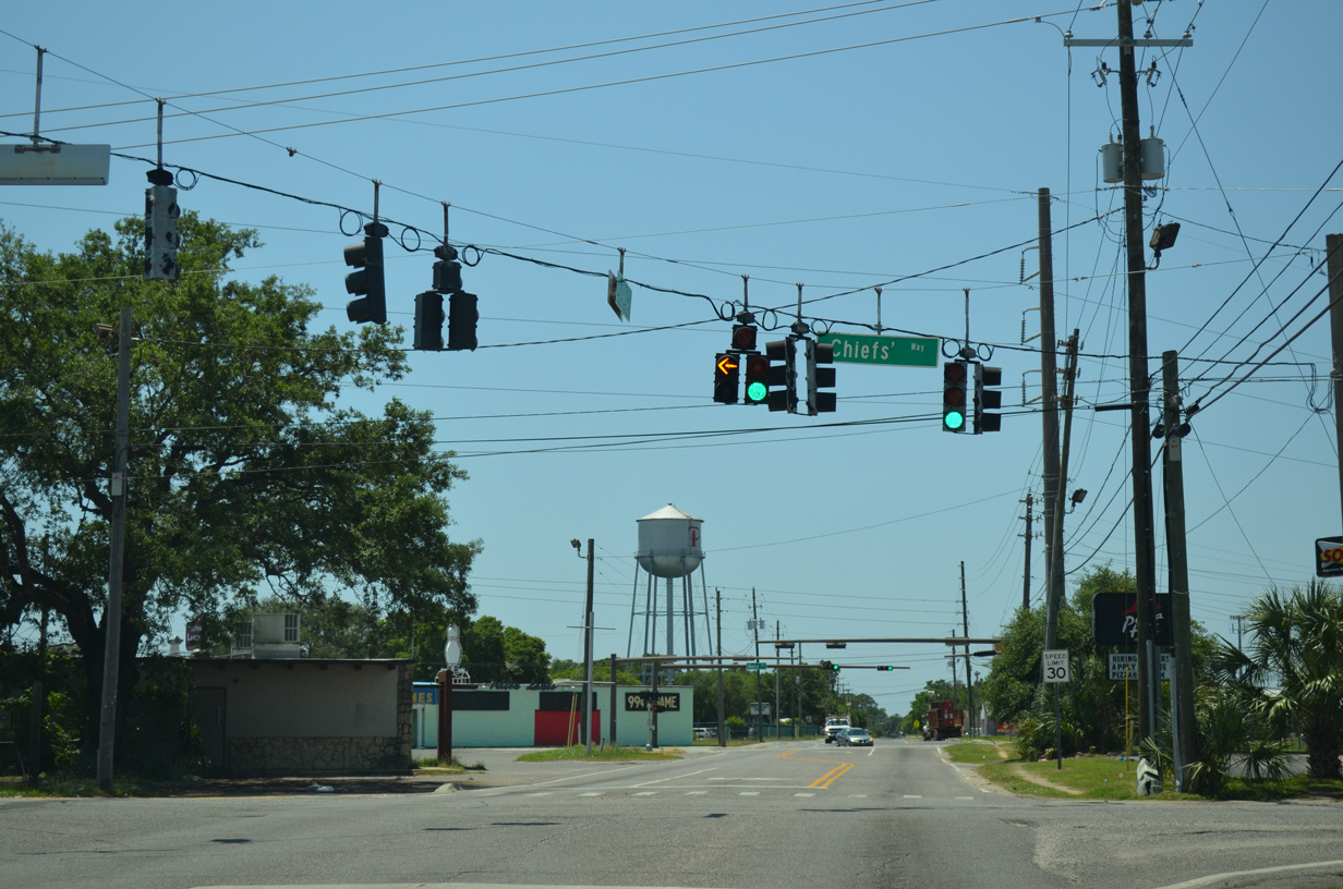
County Road 295A - Old Corry Field Road
County Road 295A parallels State Road 295 to the east between SR 292 (Barrancas Avenue) at Warrington to U.S. 90 (Mobile Highway) at West Pensacola. The 2.72 mile long route generally serves as a local connector to the parallel arterial and expressway route of SR 295.
|
| Old Corry Field Road intersects Lillian Highway just after the split from SR 295 (New Warrington Road). Lillian Highway becomes SR 298 west at New Warrington Road while leading east to become Border Street north of the U.S. 90 overpass.
The flashers here were removed by 2011. 01/31/06 |
|
| Jackson Street is unsigned CR 298A, a 4.55 mile long route west to SR 727 (Fairfield Drive) and east to U.S. 98/SR 292 (Pace Boulevard). 05/16/14 |
|
| SR 294 branches west from U.S. 98 (Navy Boulevard) along a 0.209 mile long segment of Chiefs' Way to SR 295 (New Warrington Road) east of Corry Field. 05/16/14 |
|
| U.S. 98 converges with SR 295 (New Warrington Road) just west of CR 295A (Old Corry Field Road). Pentagons for CR 295A are only posted U.S. 98 here. 11/17/12 |
|
| County Road 295A ends at an unmarked intersection with SR 292 (Barrancas Avenue) and Live Oak Avenue south. Barrancas Avenue joins Downtown Pensacola with Pensacola N.A.S. (via SR 295 south) while Live Oak Avenue extends southeast to become Sunset Avenue west ahead of Navy Boulevard. 01/31/06 |
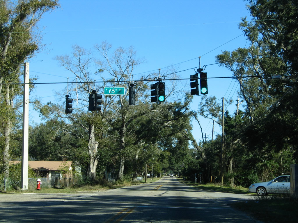
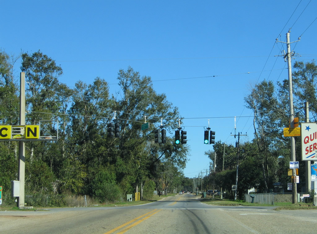
County Road 298A - Jackson Street
An unsigned route, County Road 298A overlays Jackson Street west from U.S. 98/SR 292 (Pace Boulevard) in Pensacola through residential areas of both West Pensacola and Myrtle Grove to SR 727 (Fairfield Drive).
|
| The first of several traffic lights along Jackson Street east at 65th Avenue. 65th Avenue leads north to Escambia High School and SR 727 (Fairfield Drive). 01/31/06 |
|
| 57th Avenue crosses Jackson Street at the next signal. The north-south road comprises another residential through route in the Myrtle Grove community. 01/31/06 |
|
| Jackson Street passes SR 295 (New Warrington Road) and next intersects Old Corry Field Road. Old Corry Field Road doubles as unsigned CR 295A north to SR 295 / U.S. 90 and south to SR 292 at Warrington. 01/31/06 |
|
| Nearing the Pensacola city line, Jackson Street enters the alphabet series of street names. W Street represents the most traveled of the series, carrying four lanes north from U.S. 98 (Navy Boulevard) through Brownsville to U.S. 29 (Pensacola Boulevard). 01/31/06 |
|
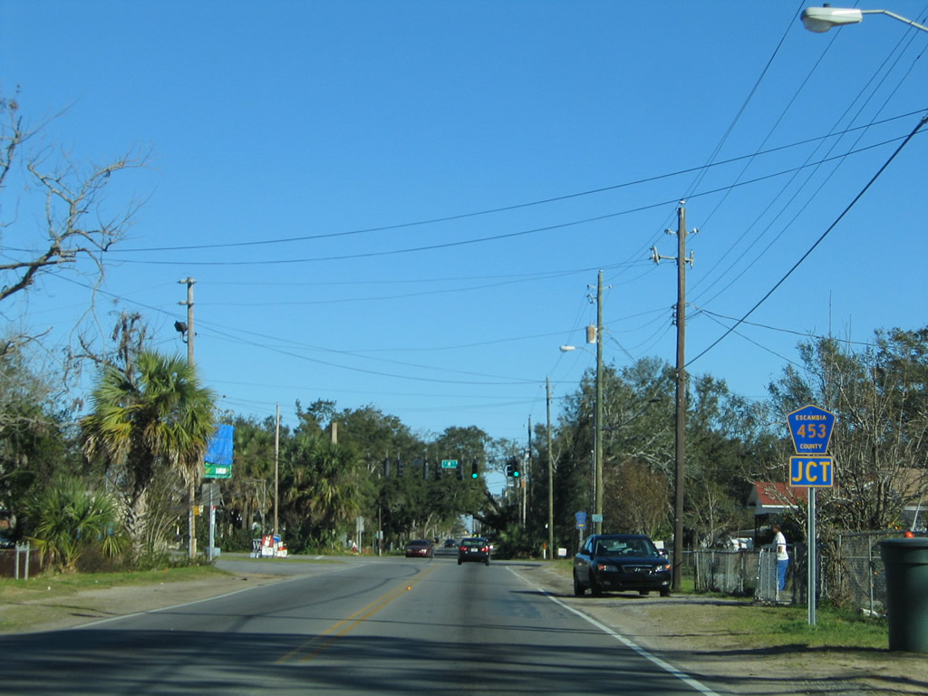
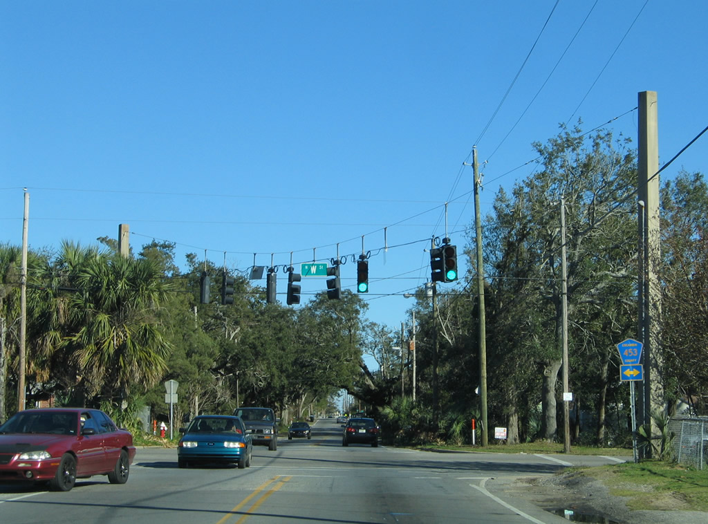
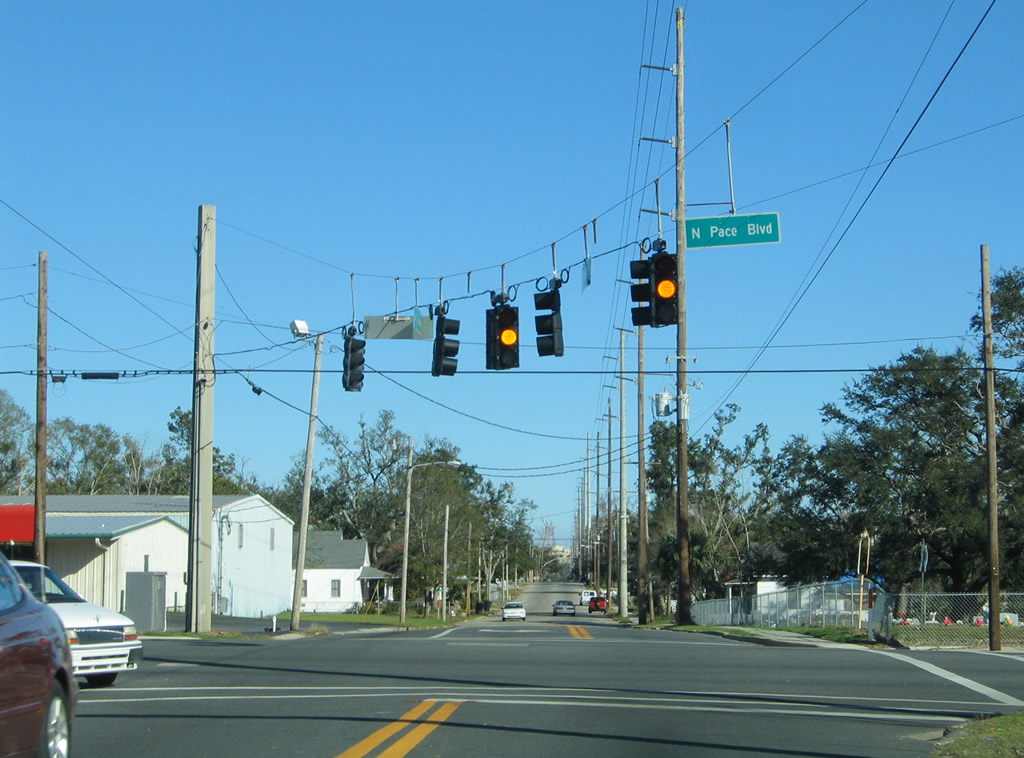
| Escambia County Road 453 follows all 5.30 miles of W Street north from west Pensacola to U.S. 29 near its interchange with I-10. 01/31/06 |
|
| Unsigned CR 298A ends at the Jackson Street intersection with Pace Boulevard. U.S. 98 & SR 292 overlap for 0.6 miles along Pace Boulevard, splitting two blocks to the north at Cervantes Street (U.S. 90). 01/31/06 |
Page Updated 04-02-2021.

 North
North