
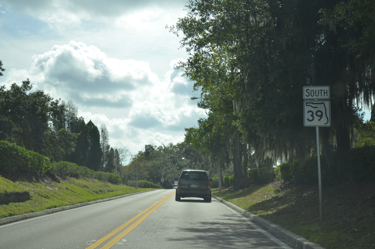
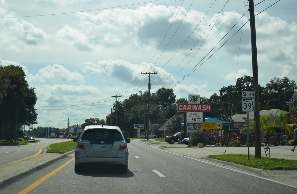
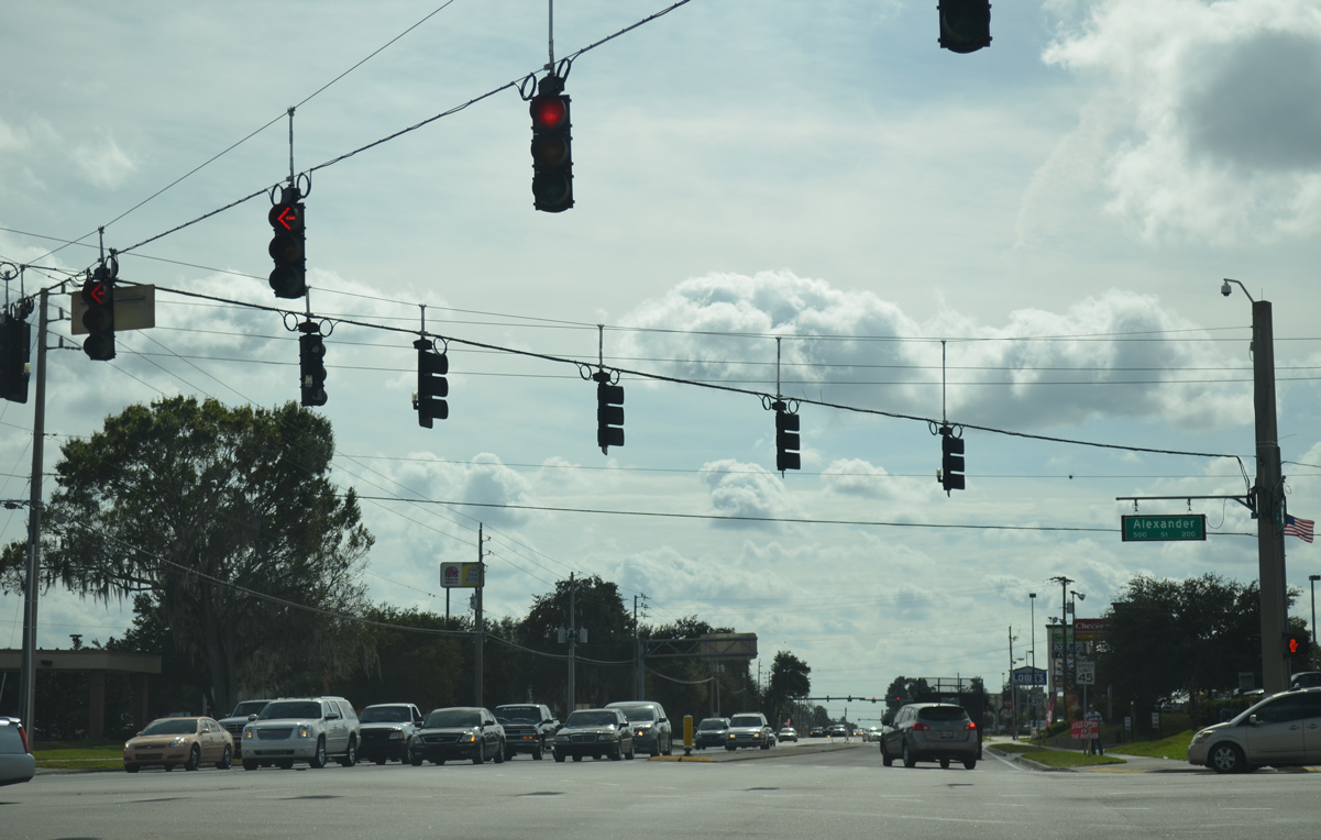
Measuring 20.53 miles in length, State Road 39 is an arterial route from SR 60 in northeastern Hillsborough County to U.S. 301 (Gall Boulevard) in southeastern Pasco County. Traversing rural areas north from SR 60 and Hopewell, SR 39 runs along James L. Redman Parkway to Trapnell Road at the Plant City line. Becoming a commercial arterial, James L. Redman Parkway leads SR 39 north to Alexander Street.
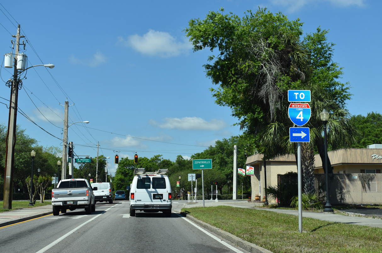
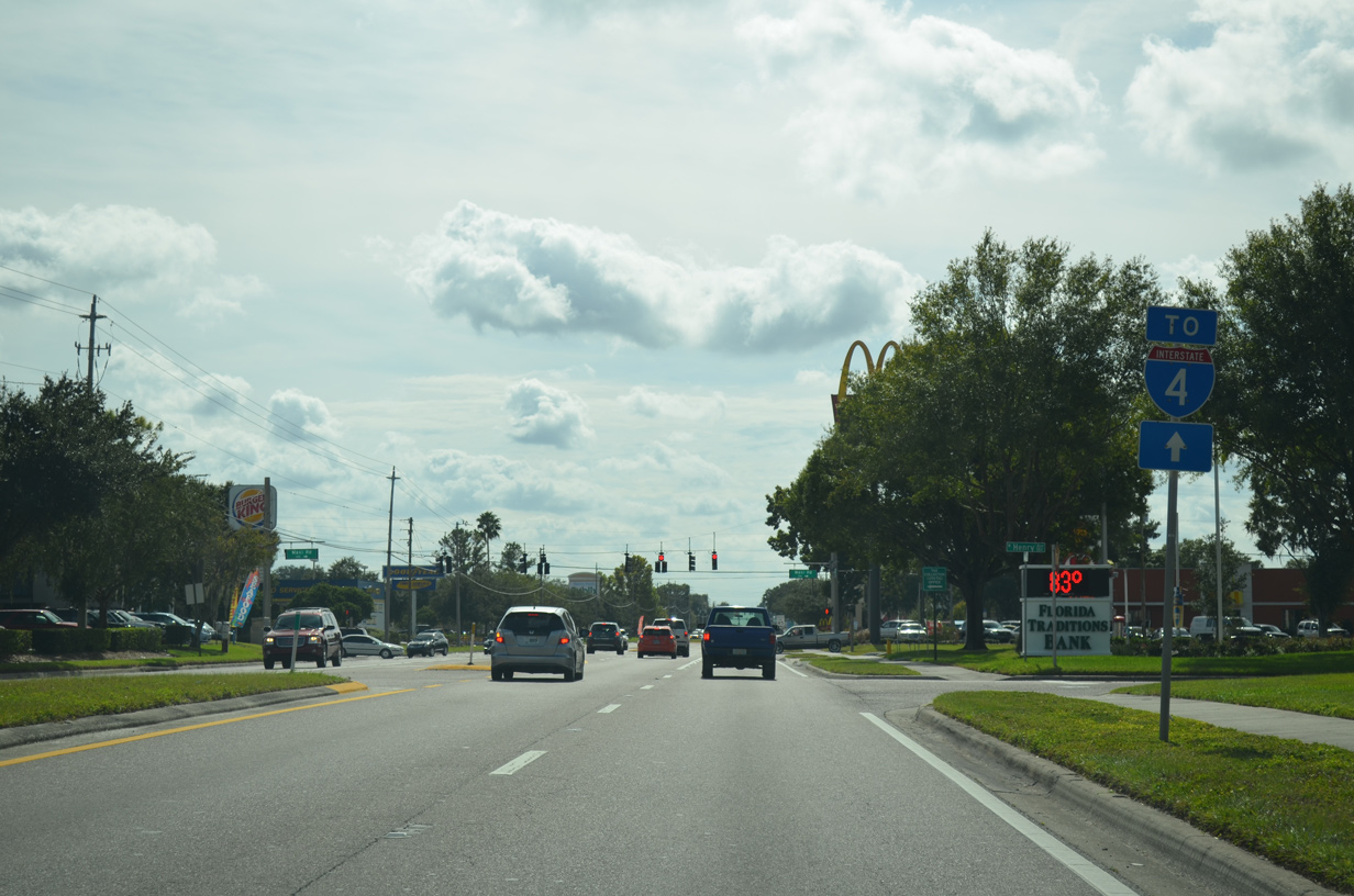
Prior to 2013, SR 39 remained along James L. Redman Parkway north onto Collins Street to Downtown Plant City. The state road shared a two block concurrency with U.S. 92 along the couplet of Baker Street west and Reynolds Street east to connect with Wheeler Street. SR 39 continued along Wheeler Street north to a folded diamond interchange with Interstate 4, where Paul S Buchman Highway took over north to Knights.
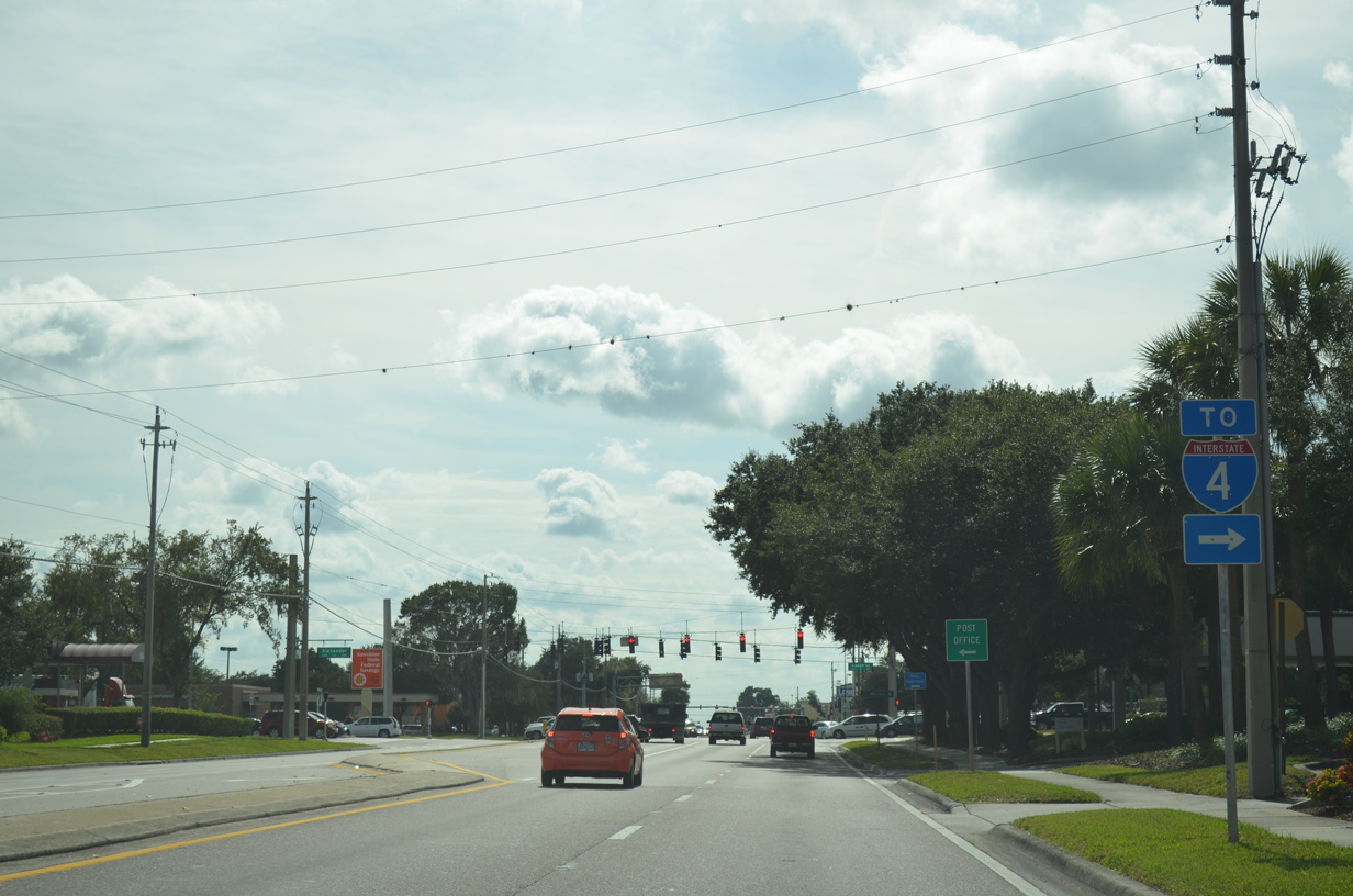
State Road 39A was the previous designation for Alexander Street from James L. Redmon Parkway to Interstate 4 on the west side of Plant City. The truck bypass was incorporated into a realignment of State Road 39 following the completion of the 2.7 mile long extension of North Alexander Street on December 23, 2013. The former route of SR 39 along Paul S. Buchman Highway southeast to I-4 was redesignated as CR 39. This changed in 2017 when CR 39 was renumbered as a new branch of SR 39A. Wheeler Street 1.17 miles south to U.S. 92 in Downtown became an unsigned branch of CR 39.
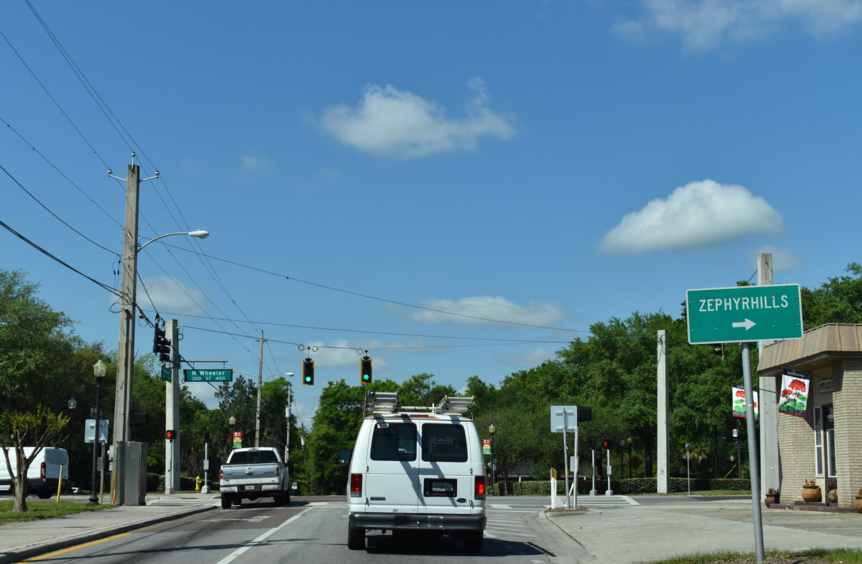
SR 39 continues from N Alexander Street on Paul S. Buchman Highway to Knights, Moriczsville and Crystal Springs in Pasco County. The state road converges with U.S. 301 on the south side of Zephyrhills.
Florida State Road 39 Guides
The rural settlement of Fort Lonesome lies at the crossroads of CR 39 and SR 674 in southeastern Hillsborough County.
06/30/14
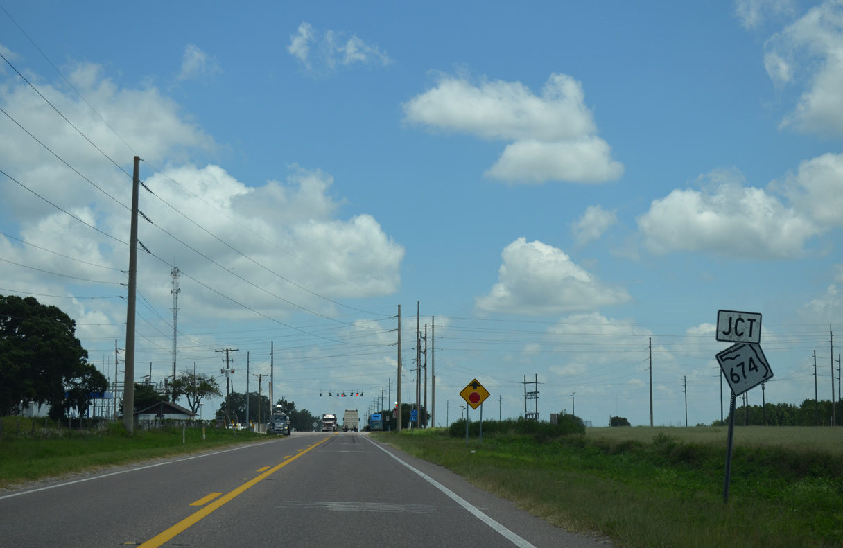
SR 674 is a rural highway east to SR 37 and west to Wimauma, Sun City Center and Ruskin.
06/30/14
06/30/14
 | CR 39 extends south from the end of SR 39 at SR 60 (Hopewell Road) through the unincorporated community of Hopewell. 11/11/13 |
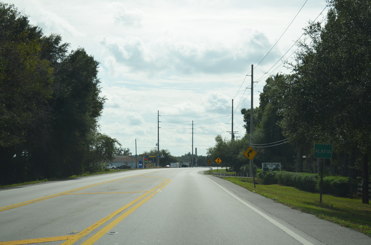 | CR 39 advances 3.5 miles south from SR 39/60 to unincorporated Alafia. 11/11/13 |
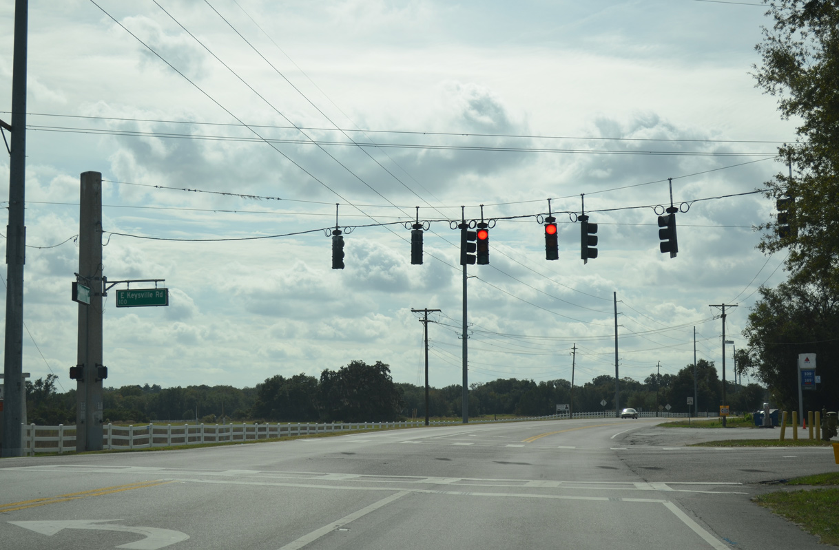 | Keysville Road crosses CR 39 at a signalized intersection in Alafia. Keysville Road is a part of unsigned CR 676 east 3.38 miles to Nichols Road near Keysville and west 2.65 miles to Turkey Creek Road at Durant High School. 11/11/13 |
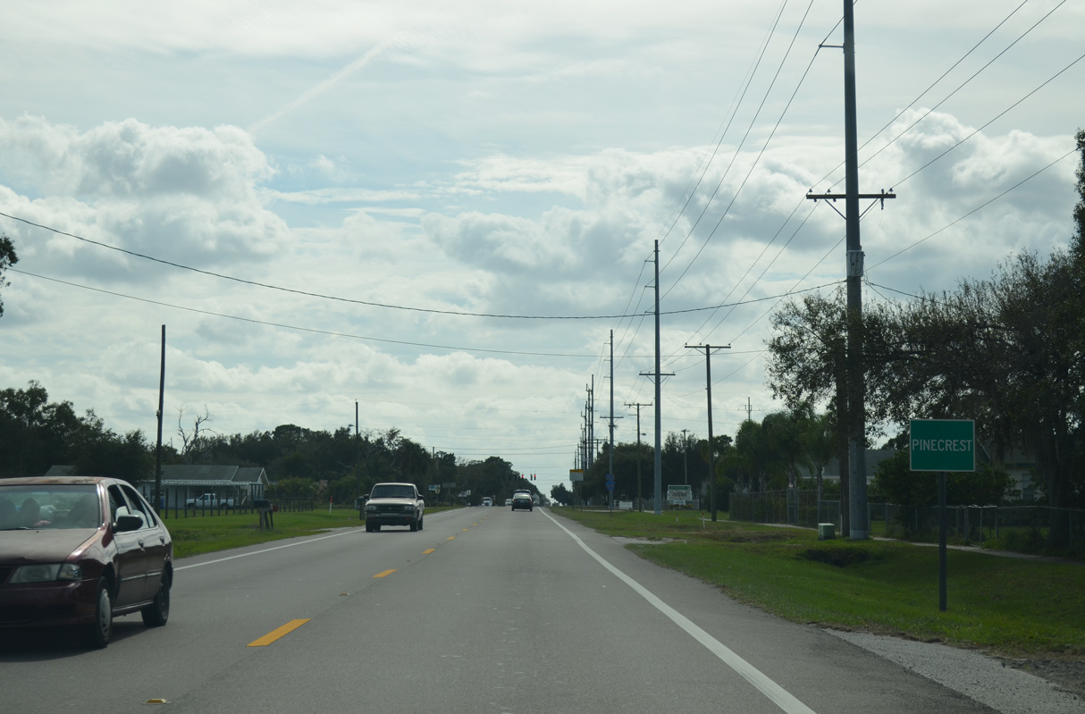 | CR 39 curves southwest across the Alafia River at Alderman's Ford Park ahead of the Pinecrest community. 11/11/13 |
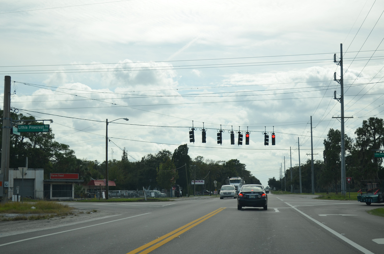
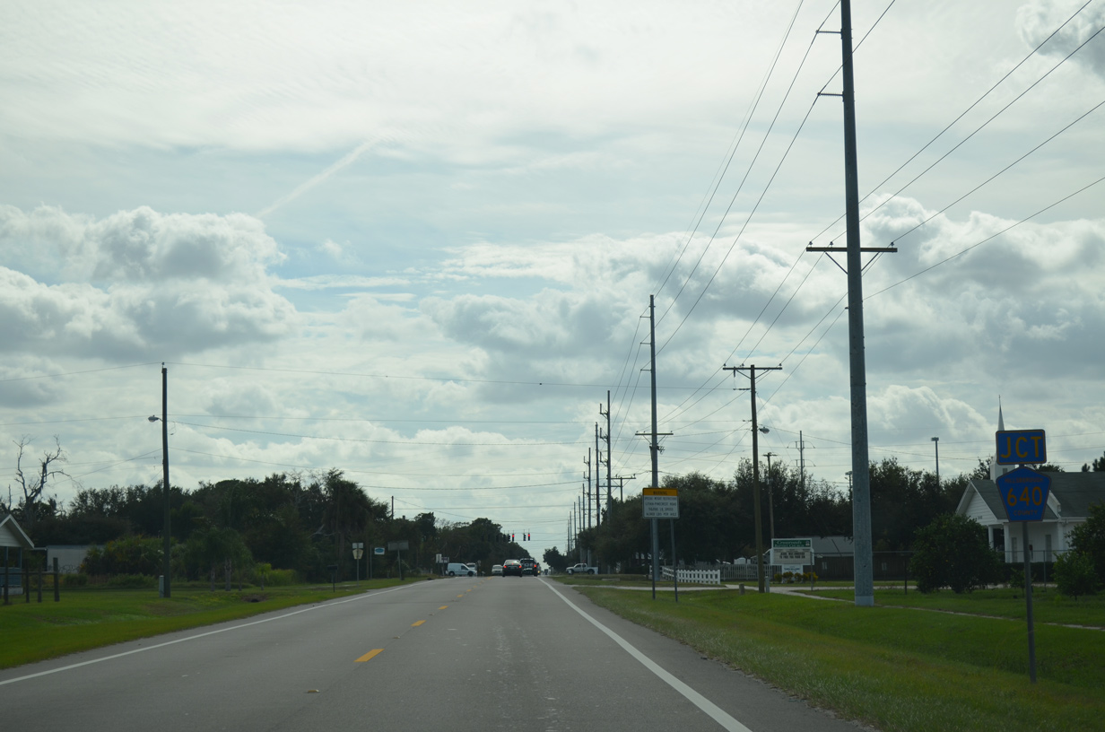 | CR 640 (Lithia-Pinecrest Road) crosses paths with CR 39 at Pinecrest. CR 640 becomes suburban on the 10.95 mile course west to Fish Hawk, Bloomingdale and SR 60 at Brandon. 11/11/13 |
 | East from Pinecrest, CR 640 contnues 5.52 miles to the Polk County line en route to SR 37, Homeland and CR 559. 11/11/13 |
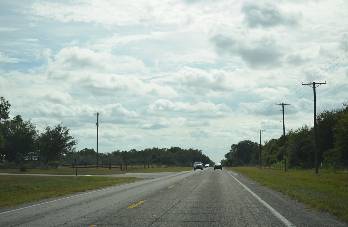 | Passing by Alafia River State Park to Picnic, County Road 39 leads due south from Pinecrest. 11/11/13 |
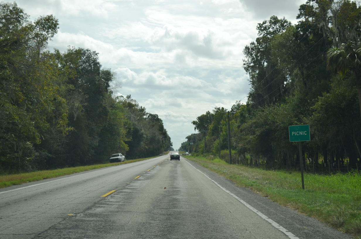 | Crossing Hurrah Creek, CR 39 enters the rural community of Picnic. CR 672 (Balm-Picnic Road) stems 11.85 miles west from CR 39 at the succeeding intersection to Balm and an implied overlap with U.S. 301 north. 11/11/13 |
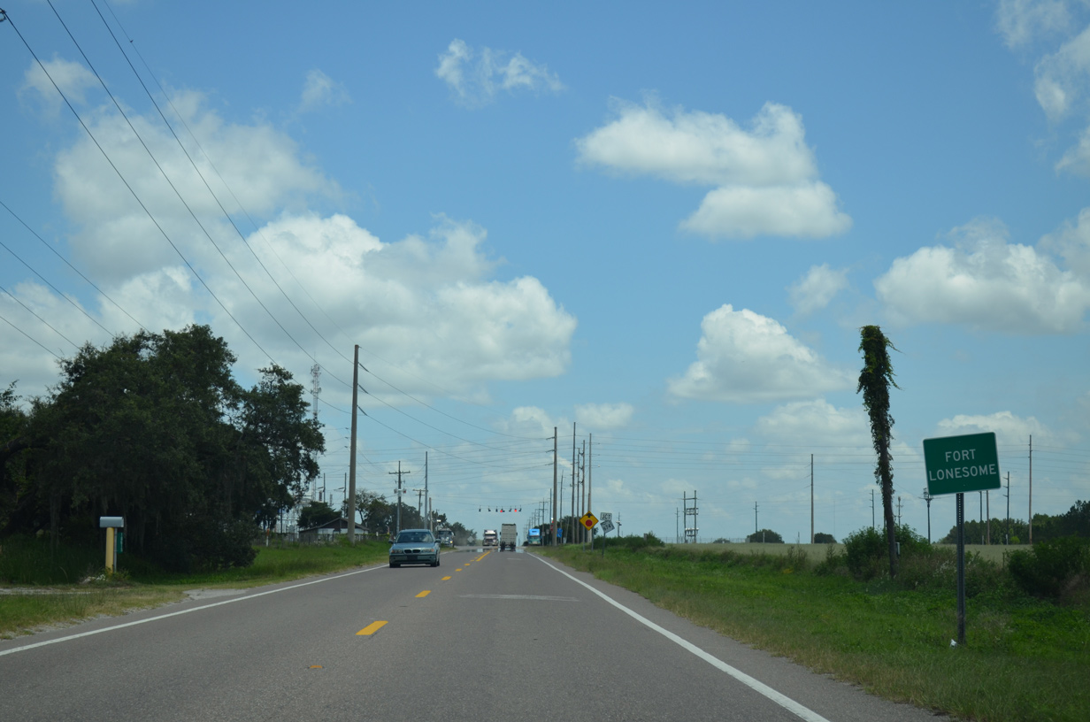
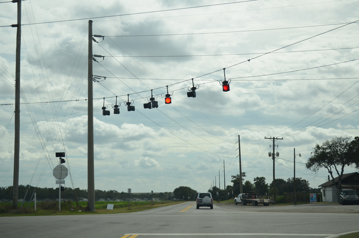 | CR 39 advances south through phosphate mining areas to a set of flashers with SR 674 at Fort Lonesome. Unmarked on CR 39 south, SR 674 constitutes a 25.51 mile long route between Ruskin and SR 37 in Polk County. 11/11/13 |
 | Heading south from Fort Lonesome, County Road 39 spans the Little Manatee River. 11/11/13 |
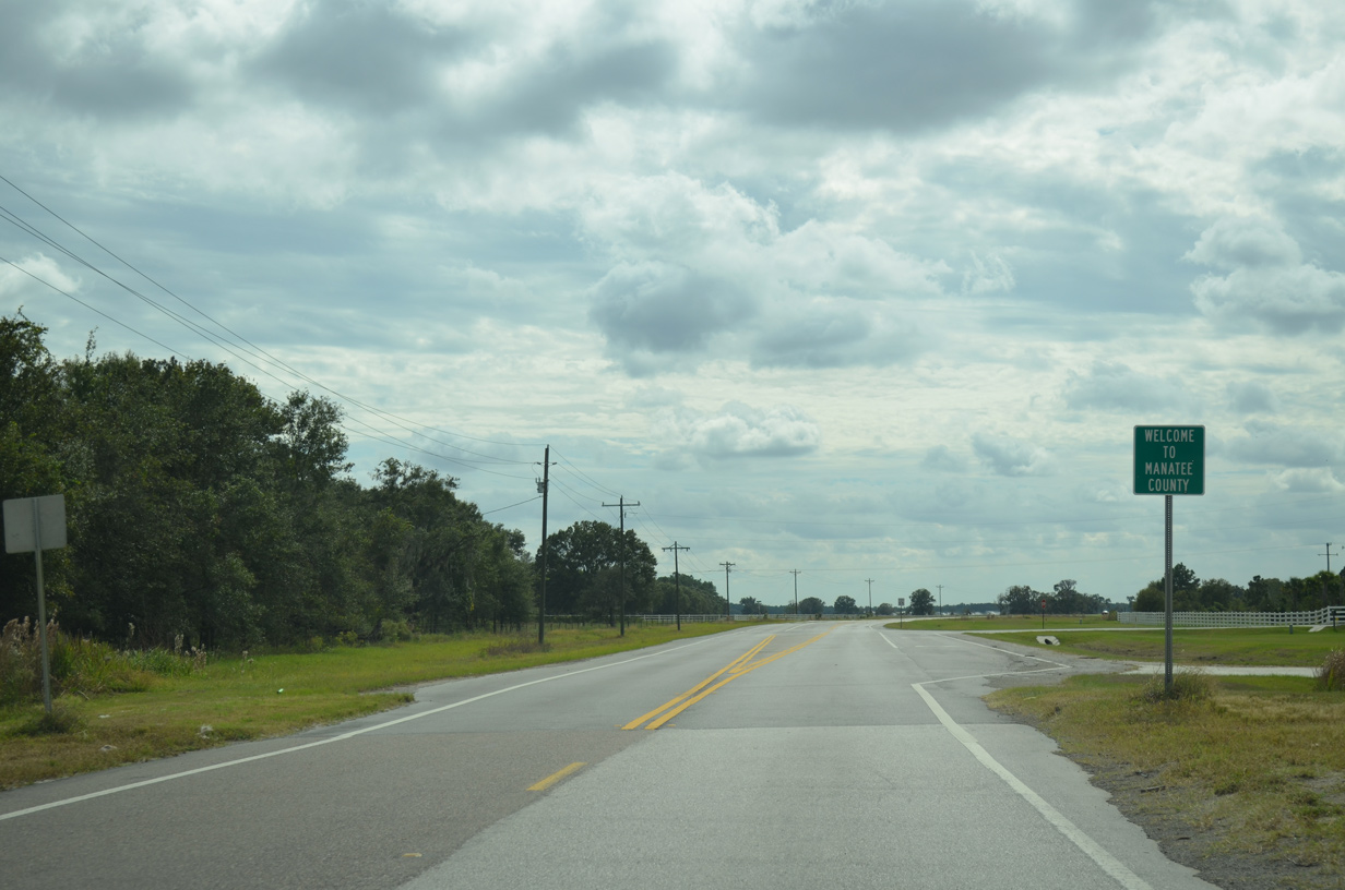 | Crossing the Manatee County line, County Road 39 curves westward between additional phosphate mines. 11/11/13 |
 | CR 39 concludes 4.06 miles south from the Hillsborough County line at an unmarked intersection with SR 62 near Peacock Hammock. SR 62 constitutes a rural route west to Parrish and east to Duette and U.S. 17 near Wauchula. 11/11/13 |

Confirming marker posted north of SR 39A (W Alexander Street) along James L. Redman Parkway.
11/13/16
03/26/19
Park Road (unsigned CR 39B/574) northeast to SR 553 is part of the east Plant City truck bypass to I-4 and SR 39 north to Zephyrhills.
03/26/19
03/26/19
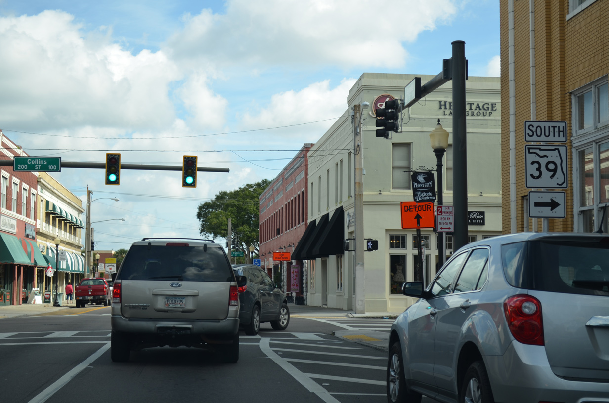
Alsobrook Street east from Collins Street (old SR 39) to Coronet Road is a part of unsigned CR 574A.
03/26/19
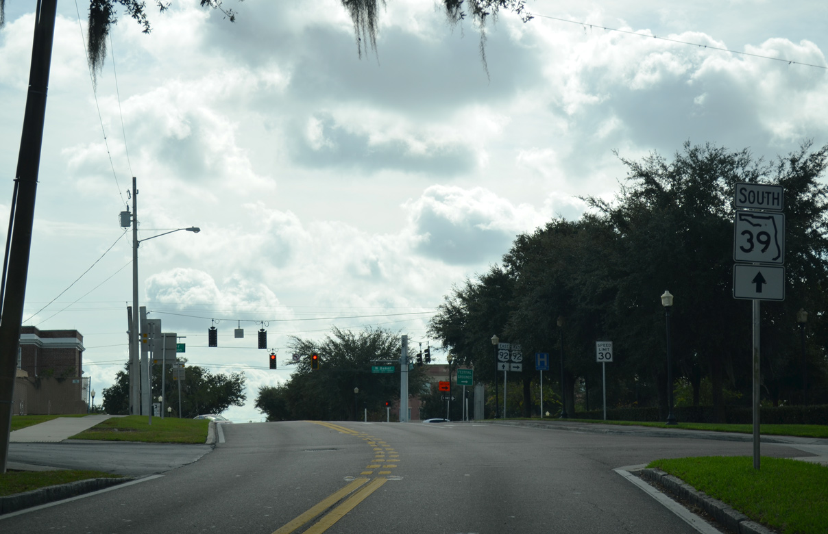
A distance sign remains along Collins Street north of Alsobrook Street for SR 39 north to the city of Zephyrhills.
03/26/19

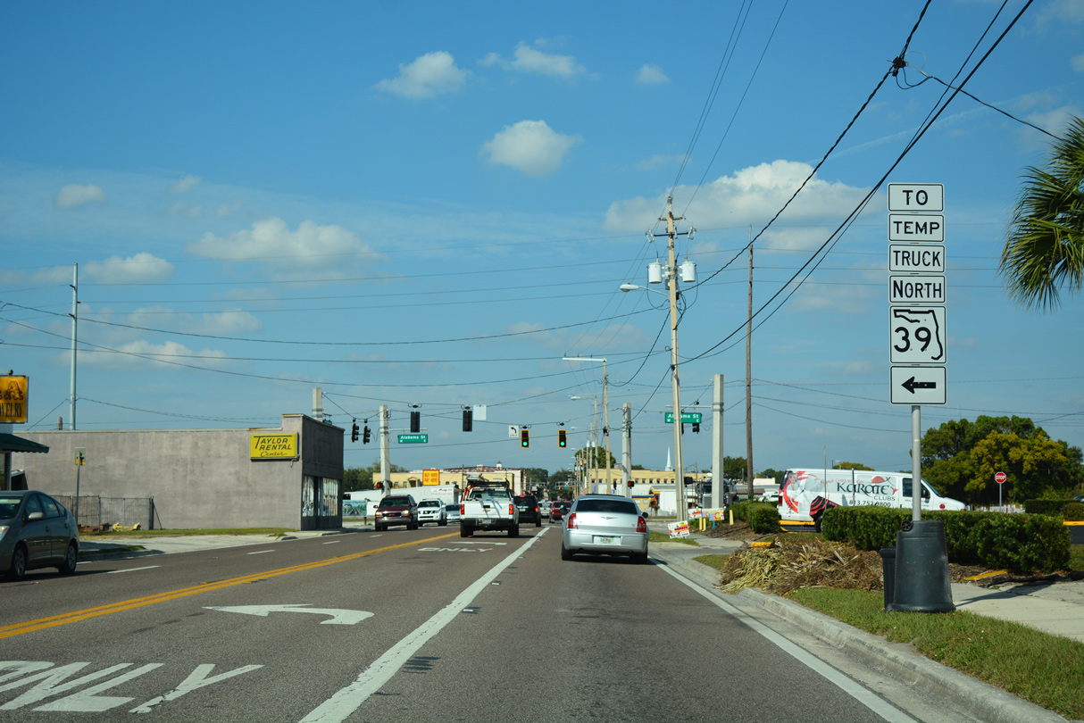
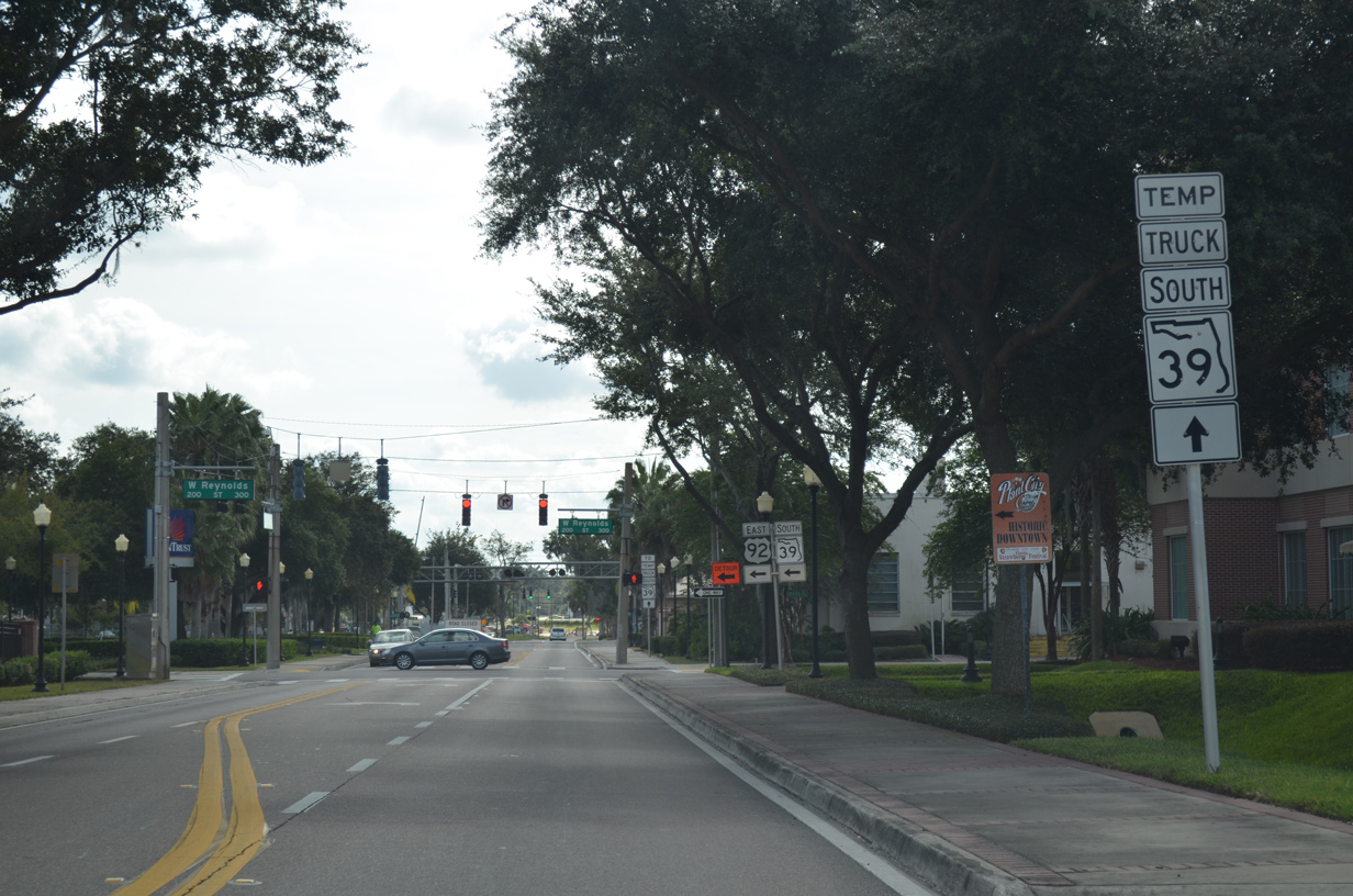
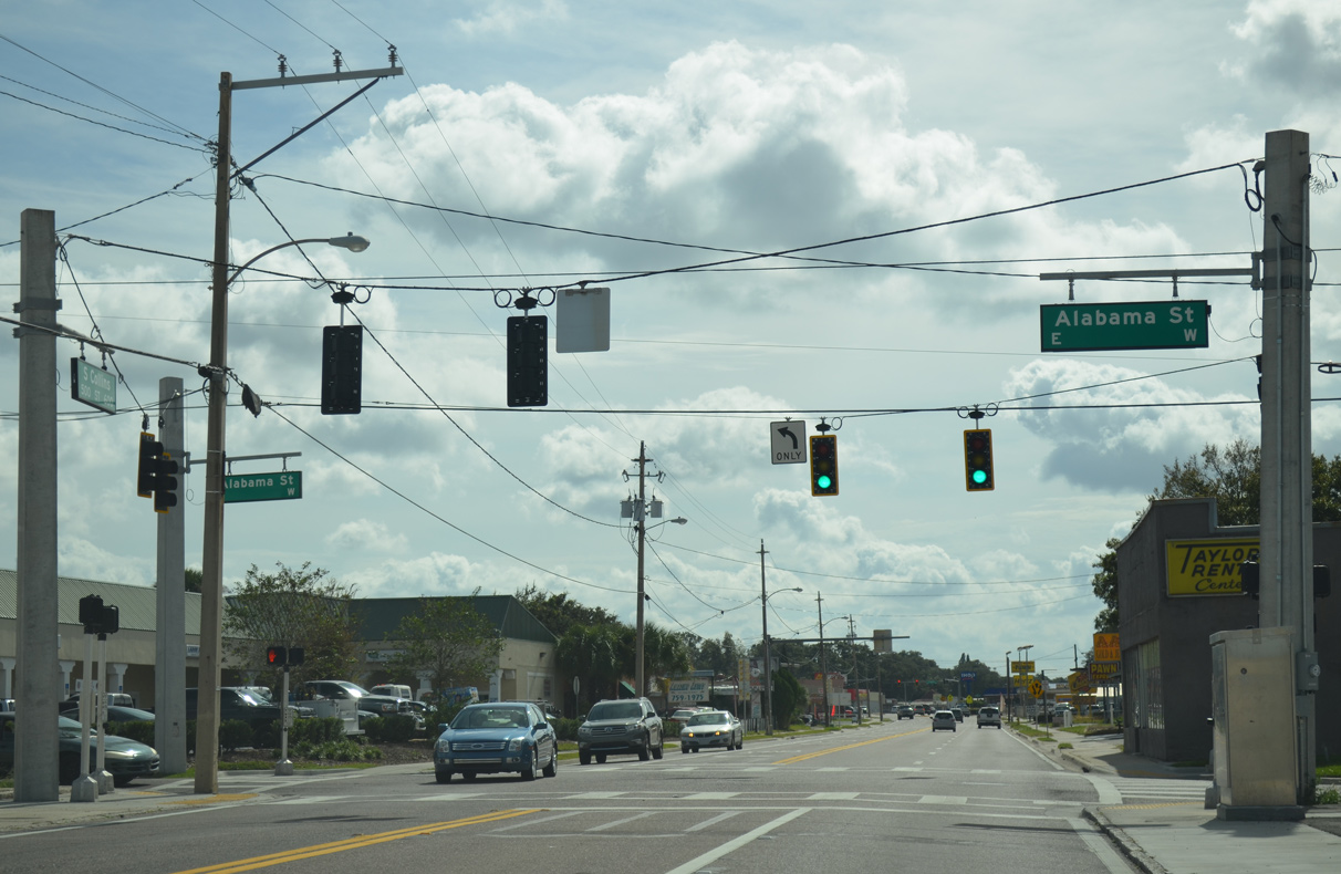
Alabama Street west to Wheeler Street north was designated as the temporary truck route for SR 39 through Downtown Plant City.
11/13/16
11/13/16
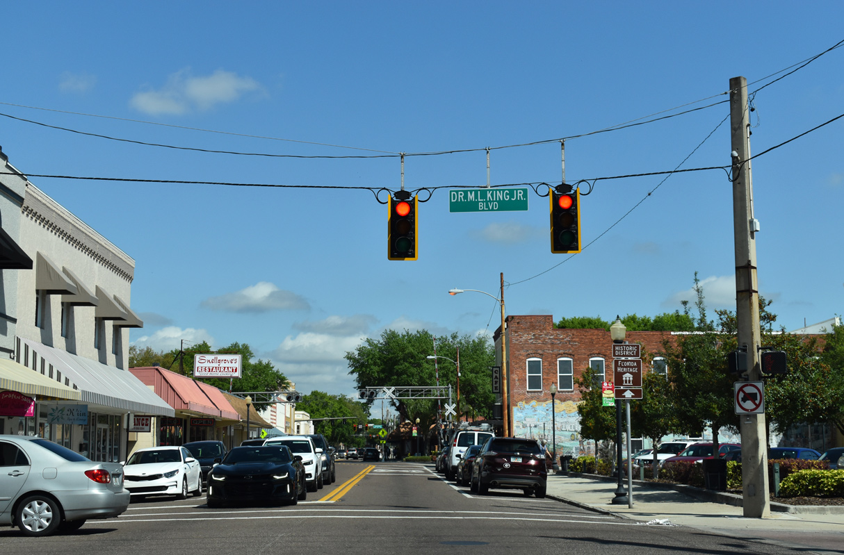
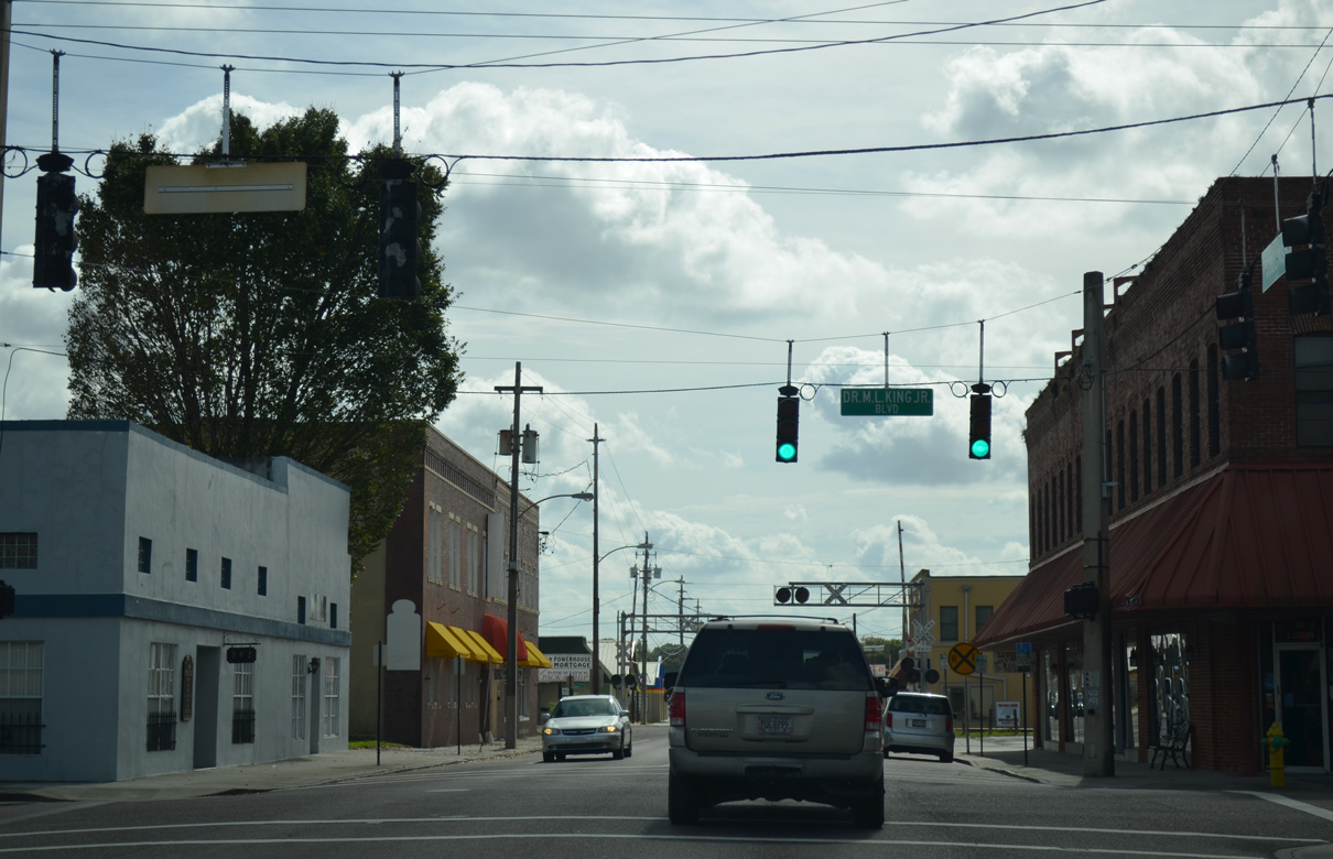
Collins Street north at Dr. Martin Luther King, Jr. Boulevard.
03/26/19
03/26/19
03/26/19
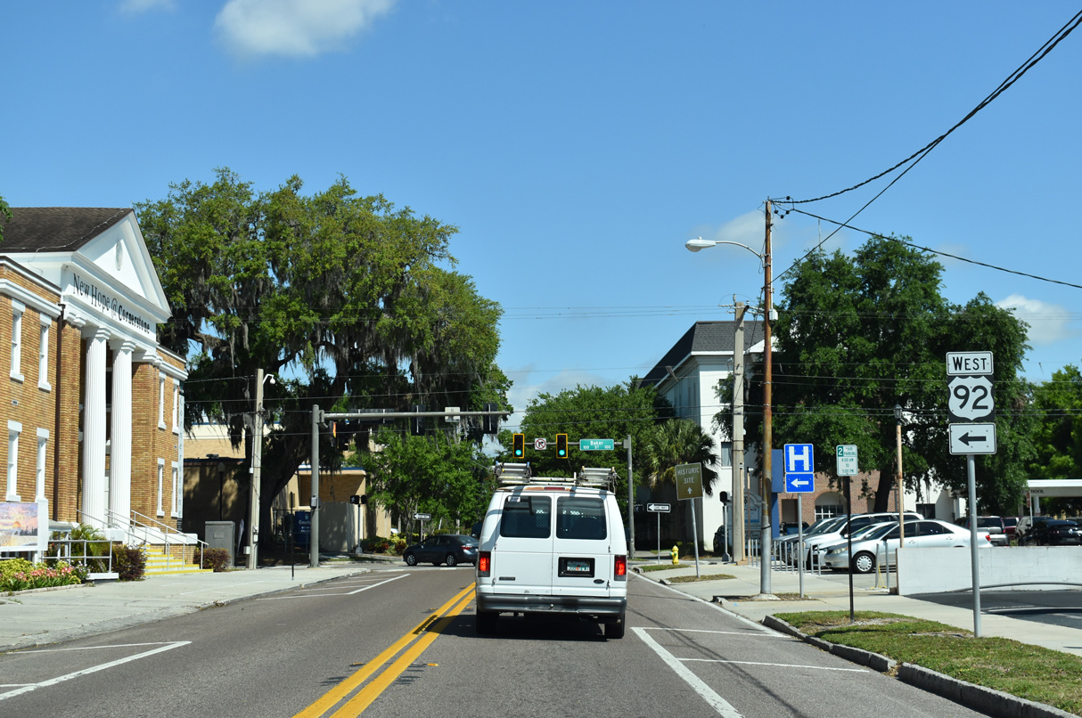
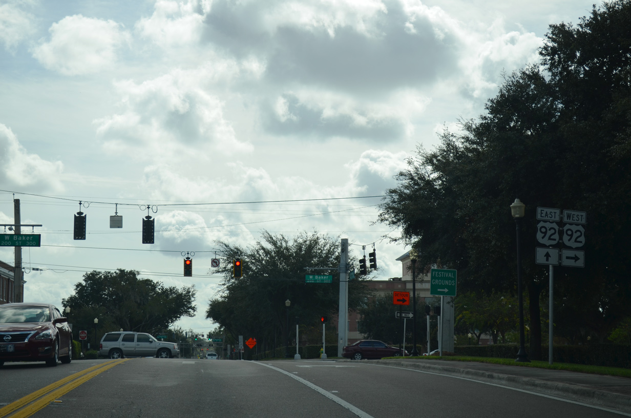
SR 39 overlapped with U.S. 92 west along Baker Street for two blocks from Collins Street north.
03/26/19
Wheeler Street 1.17 miles north from U.S. 92 to SR 39A at I-4 is unsigned CR 39.
03/26/19
U.S. 92 (Baker Street) west at the former split with SR 39 north onto Wheeler Street.
03/26/19
Confirming marker formerly posted south of Hillsboro Street on N Wheeler Street in Plant City.
11/11/13
A trailblazer for SR 39 appeared at N Wheeler Street and McLendon Street, one block from U.S. 92 west on Baker Street.
11/11/13
11/11/13
A temporary truck route for SR 39 was posted along Wheeler Street south to Alabama Street east.
11/11/13
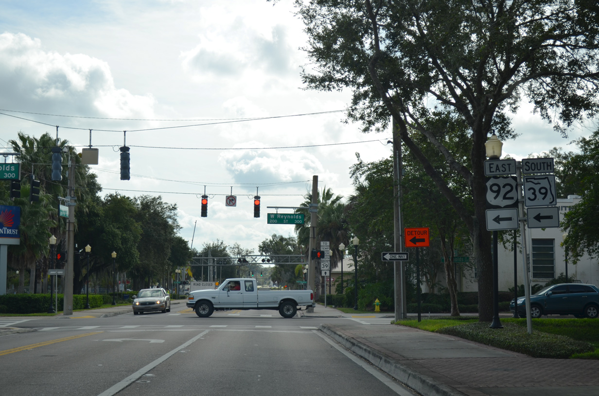
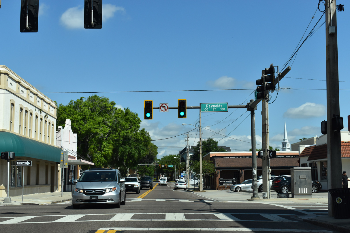
SR 39 south turned east alongside U.S. 92 on Reynolds Street for two blocks.
11/11/13

Reynolds Street (U.S. 92 east / former SR 39 south) east at Evers Street in Downtown Plant City.
11/11/13
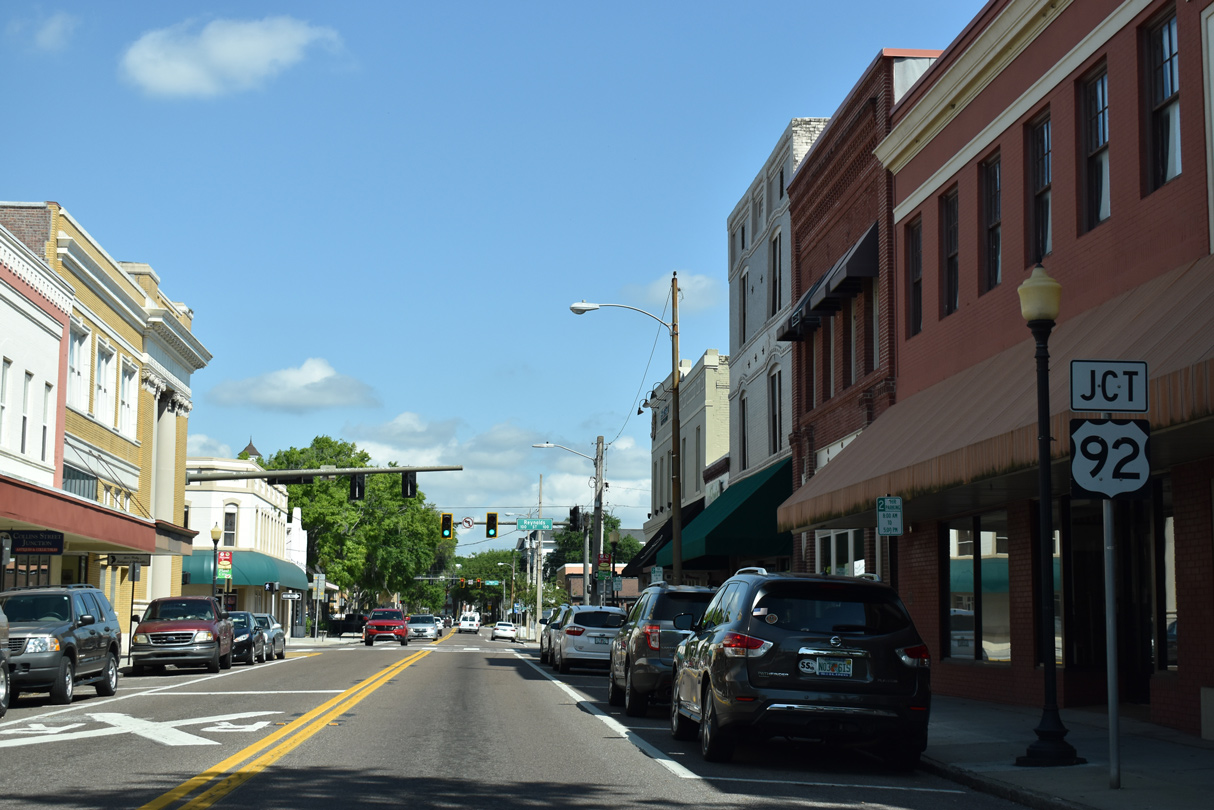
SR 39 split with U.S 92 (Reynolds Street) east for Collins Street south.
11/11/13

Confirming marker formerly posted south of U.S. 92 (Reynolds Street).
11/11/13
11/11/13
The temporary truck route for SR 39 returned to SR 39 (Collins Street) via Alabama Street.
11/11/13
11/11/13
Collins Street becomes James L. Redman Parkway south of Prosser Drive.
11/11/13
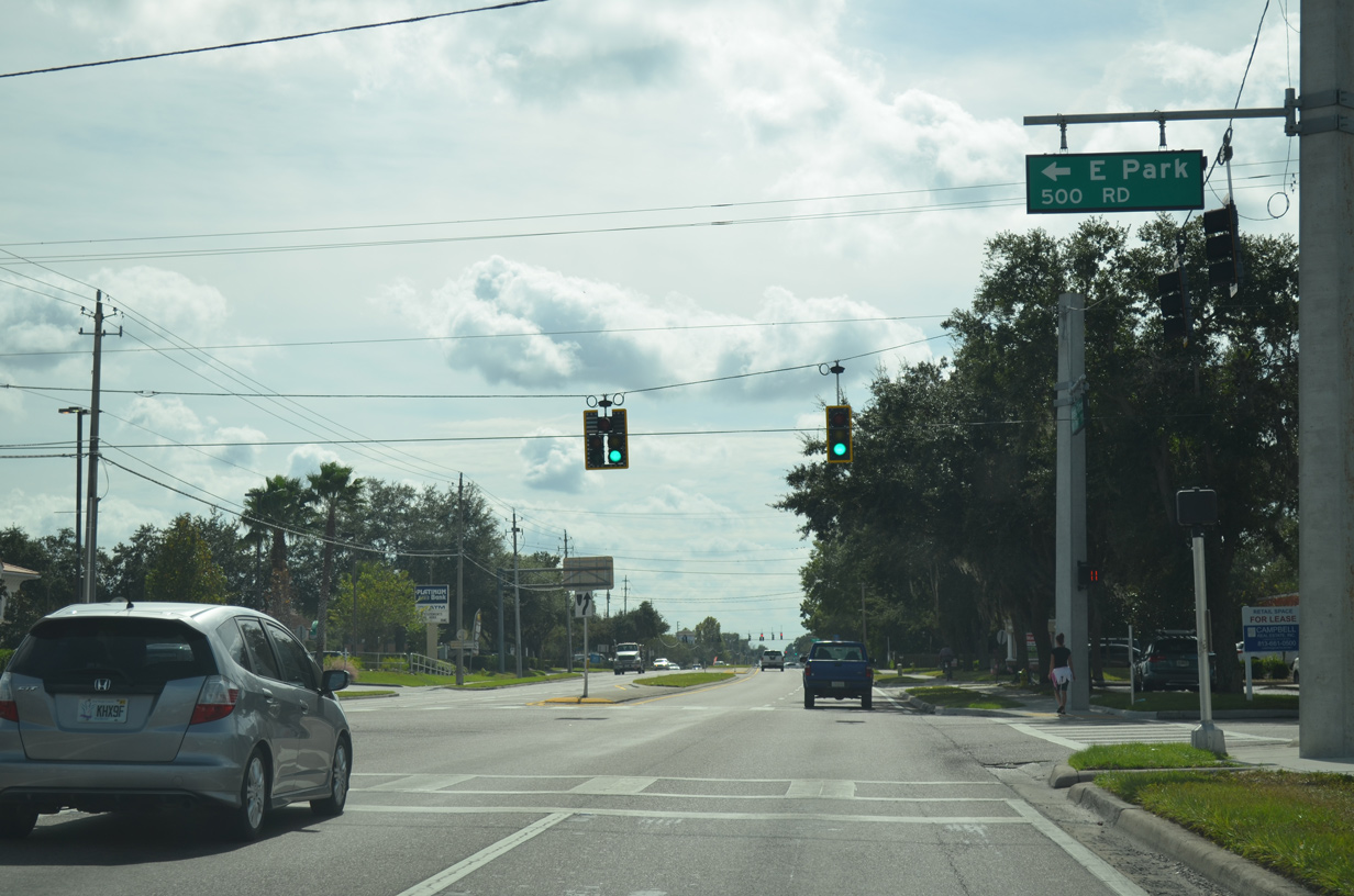
E Park Road is unsigned CR 39B and part of the east Plant City truck bypass.
11/11/13
11/11/13
11/11/13
11/11/13
SR 39 (James L. Redman Parkway) intersected the south end of the previous SR 39A at Alexander Street.
11/11/13
Connect with:
Interstate 4
U.S. 92
U.S. 301
State Road 39A - Paul Buchman Highway
State Road 60
Pasco County Road 535
County Road 580 - Sam Allen Road / Thonotosassa Road
County Road 582
Page Updated 10-12-2022.